







Circular hiking route – "City and countryside route" – Ohrdruf - Thuringian Forest

Poziom trudności: T1
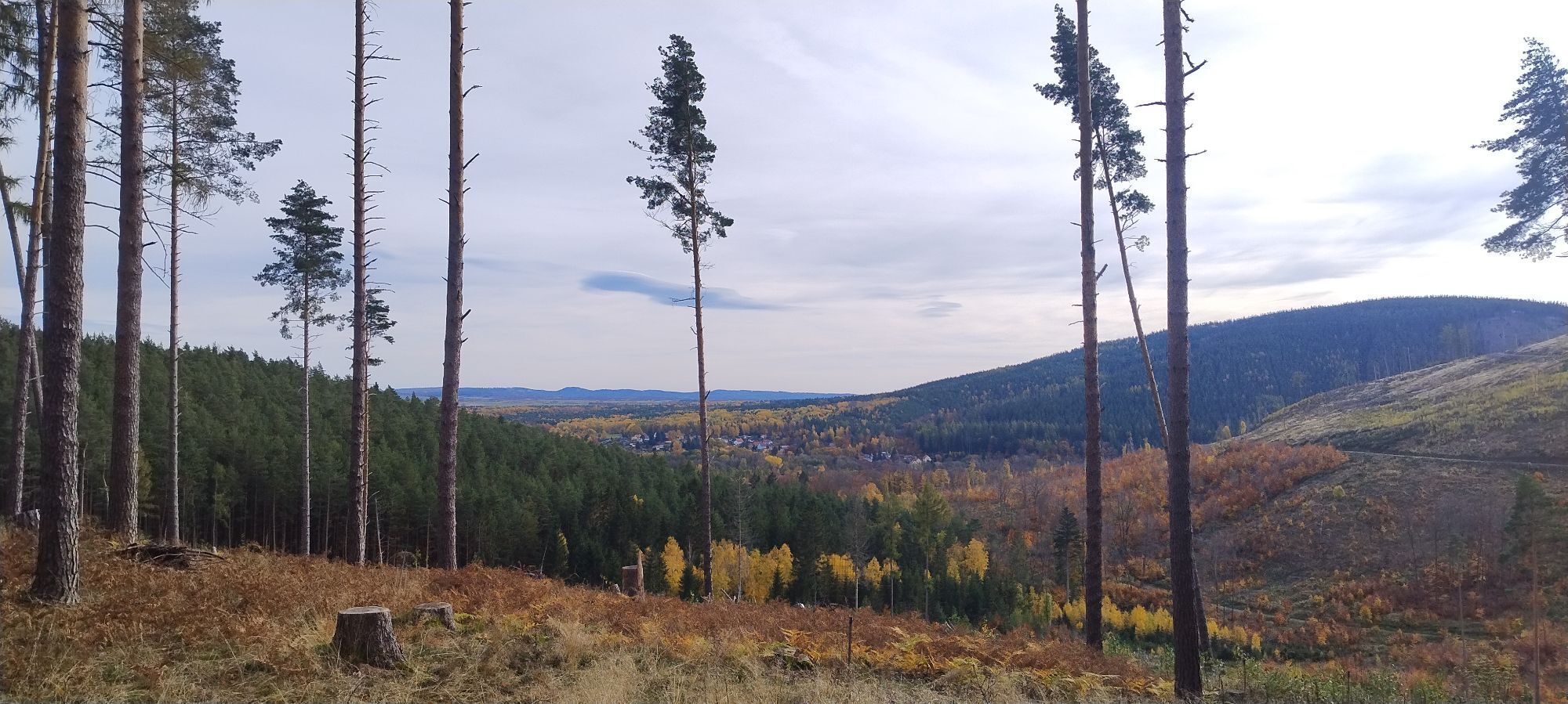
The start is the parking lot at Ehrenstein Castle. After crossing the Ohrabrücke, you have to decide whether to choose the direction toward the Market Square or the City Park. We now choose the direction...
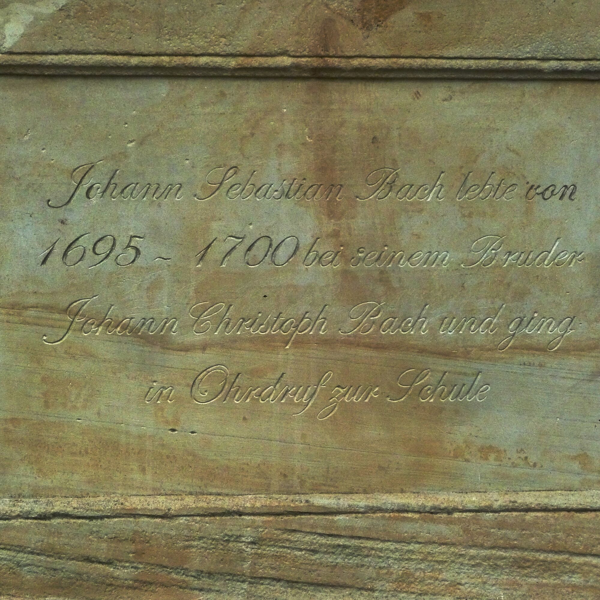
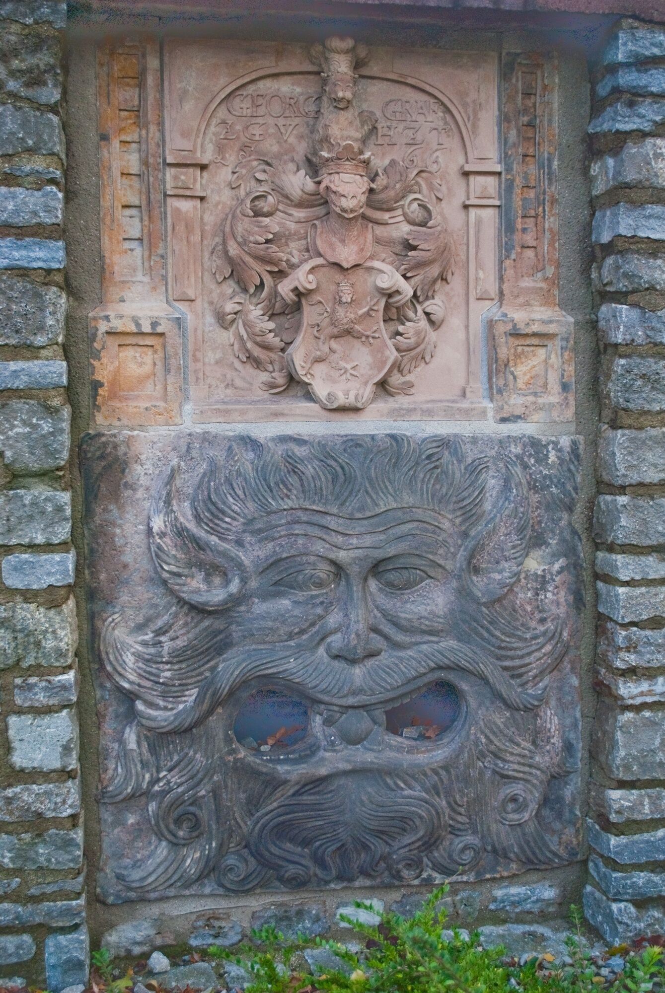
The start is the parking lot at Ehrenstein Castle. After crossing the Ohrabrücke, you have to decide whether to choose the direction toward the Market Square or the City Park. We now choose the direction toward the Market Square. It can be reached via the newly reconstructed Katz Staircase. The market is dominated by the Jugendstil (Art Nouveau) town hall. The square is lined with impressive and mostly lovingly restored farmer's houses. In 1753 and 1808 there were major city fires causing severe damage. On many houses around the market, the construction year 1808 is therefore indicated. Passing the Shoemaker Fountain, you reach St. Trinitatis Church. The bus station is located there. At this point, you can also start the loop in both directions. Via Waldstraße you reach the White Path, which leads to Castle Hill. It separates a pasture landscape and a species-rich mixed forest. A special feature is the Kuhhalter Meadow nature monument. From there you move through a mixed forest of mighty spruces, beeches, and larches. With some luck, the black woodpecker can also be observed in this area. The Forest Guesthouse Scherershütte is not far away. The Staff Bushes give pleasant shade on the further way to the lawn pond. The lawn pond is a very species-rich biotope where a longer break is always worthwhile. Along Birkenweg and Scherershütte Street you get back to the city. The next stop is the City Park with the monument to the Bach musician family. Along the city wall, the route continues back to the starting point at the Castle Park.

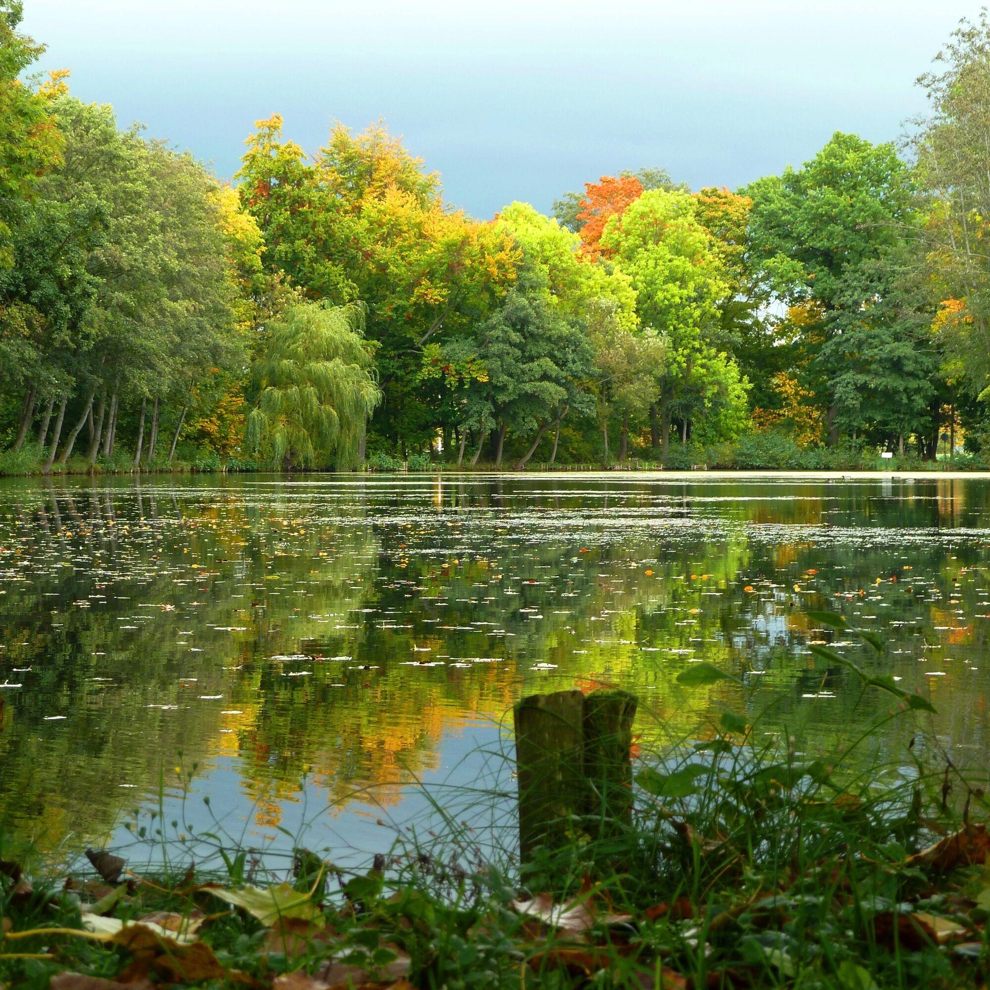
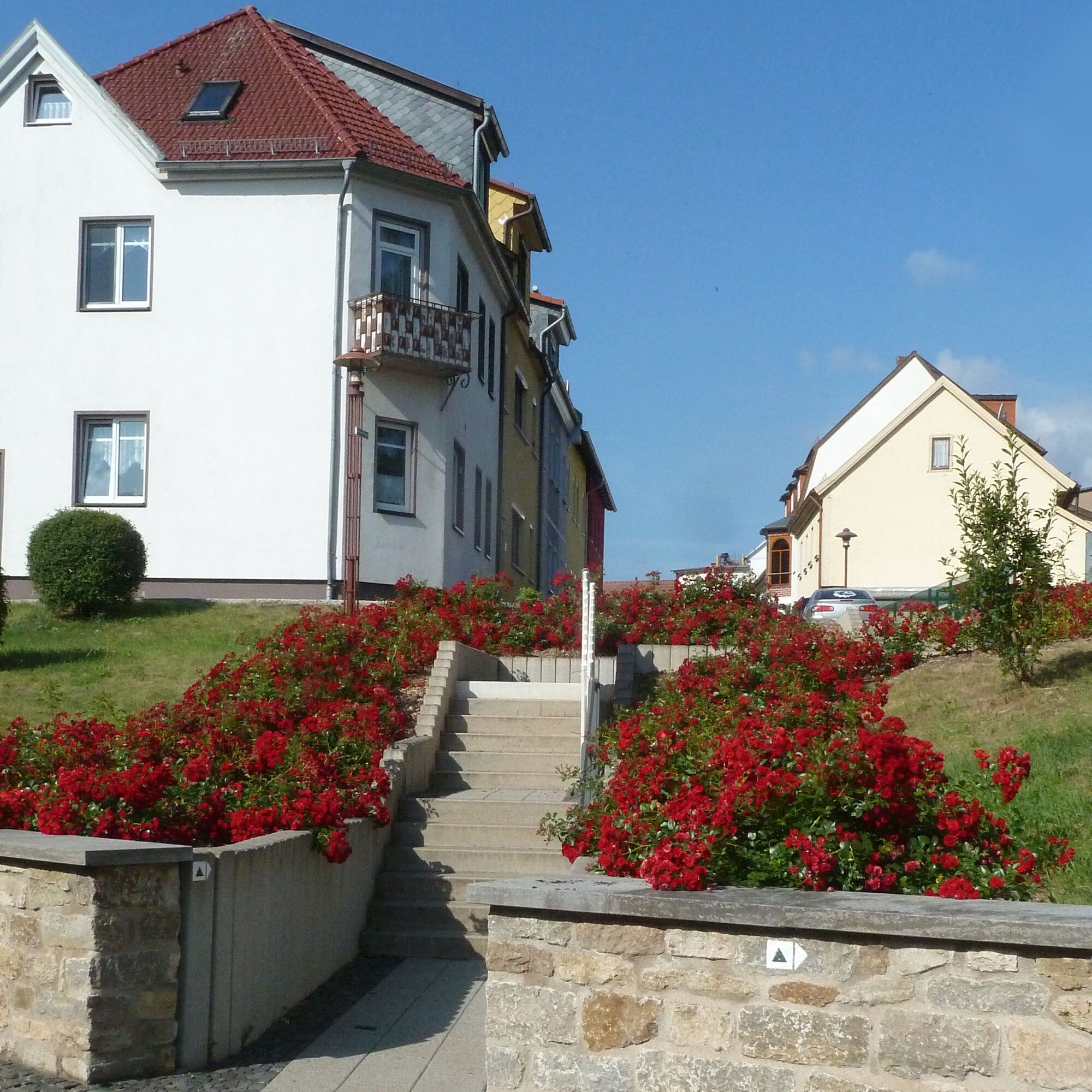
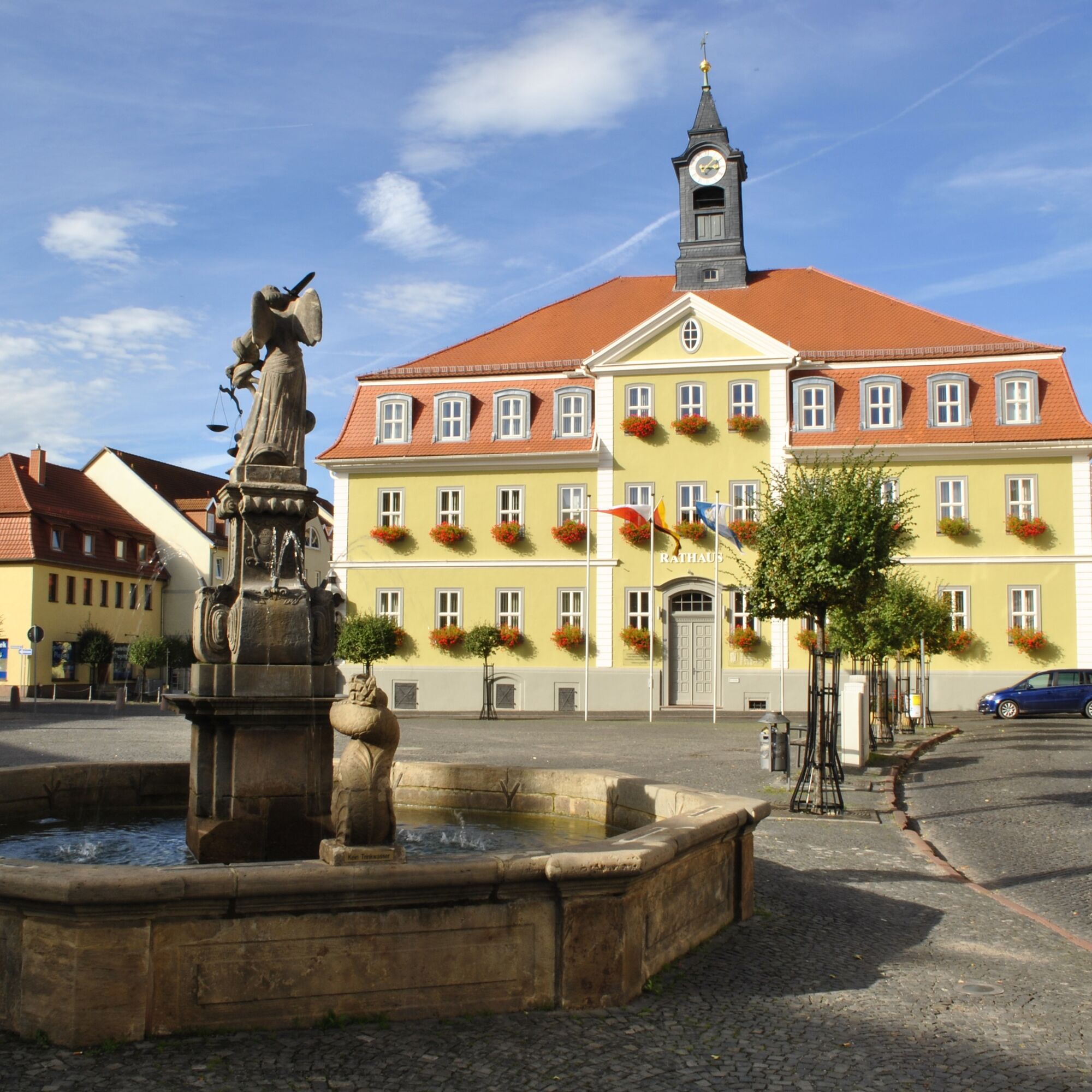
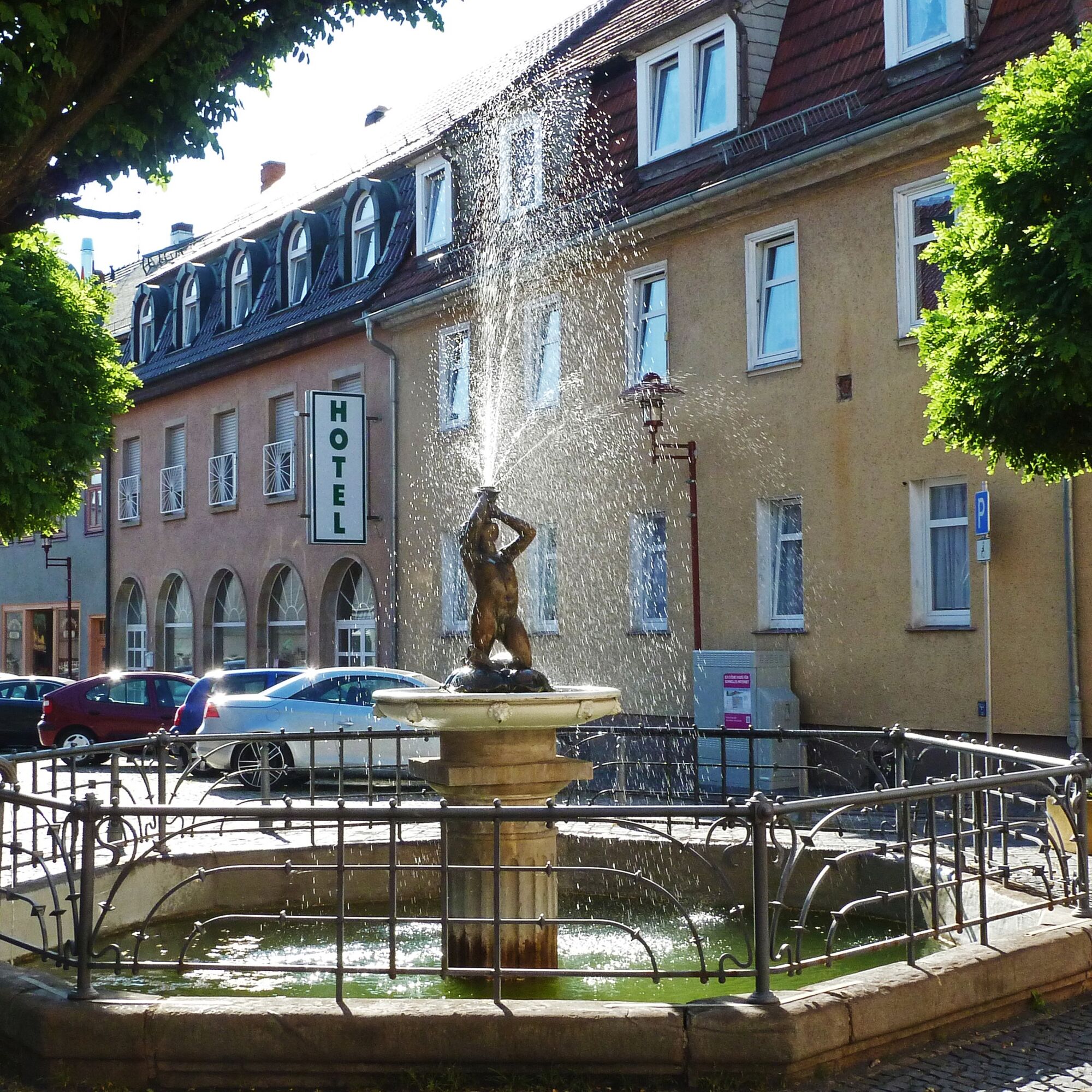
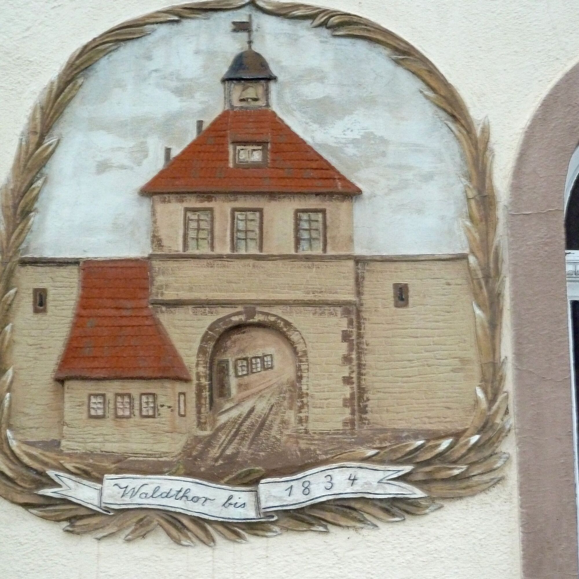
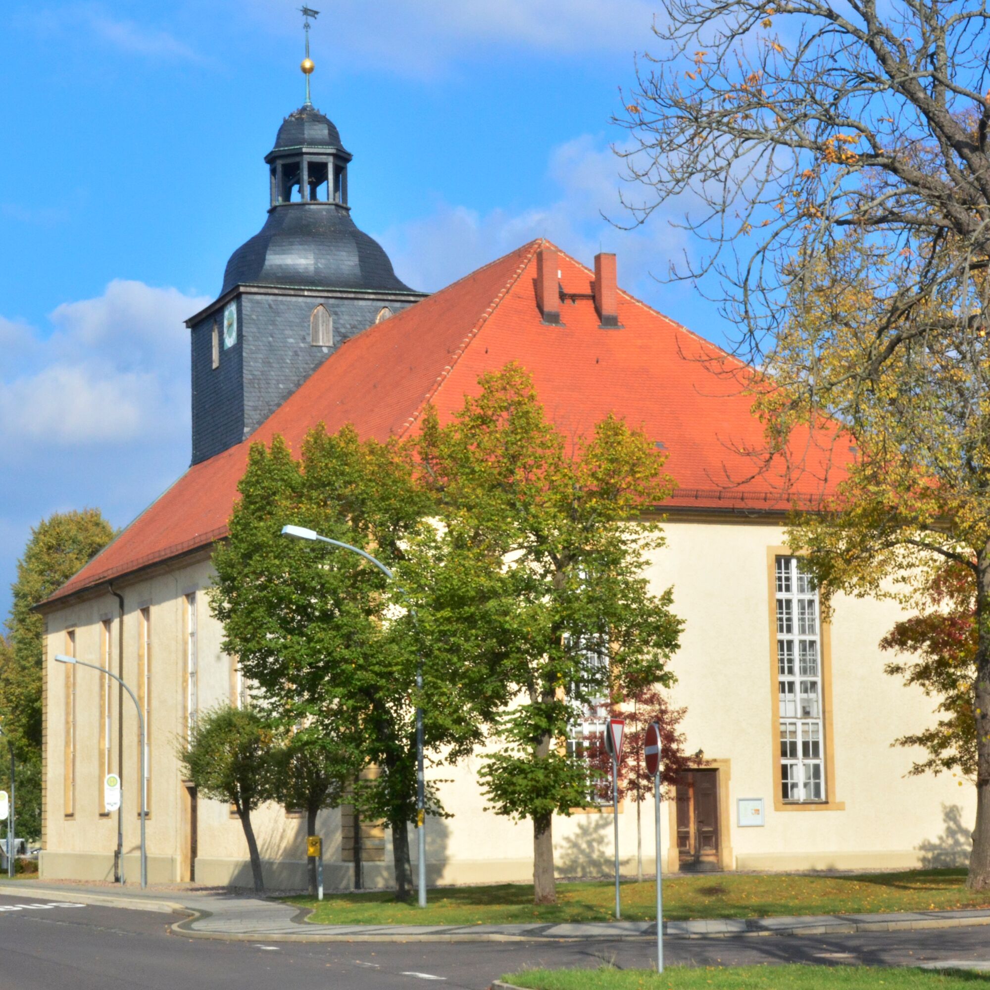
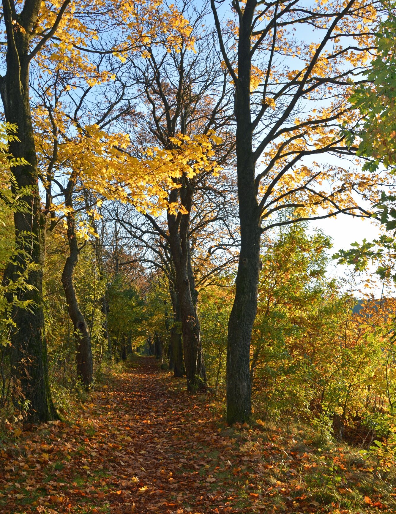
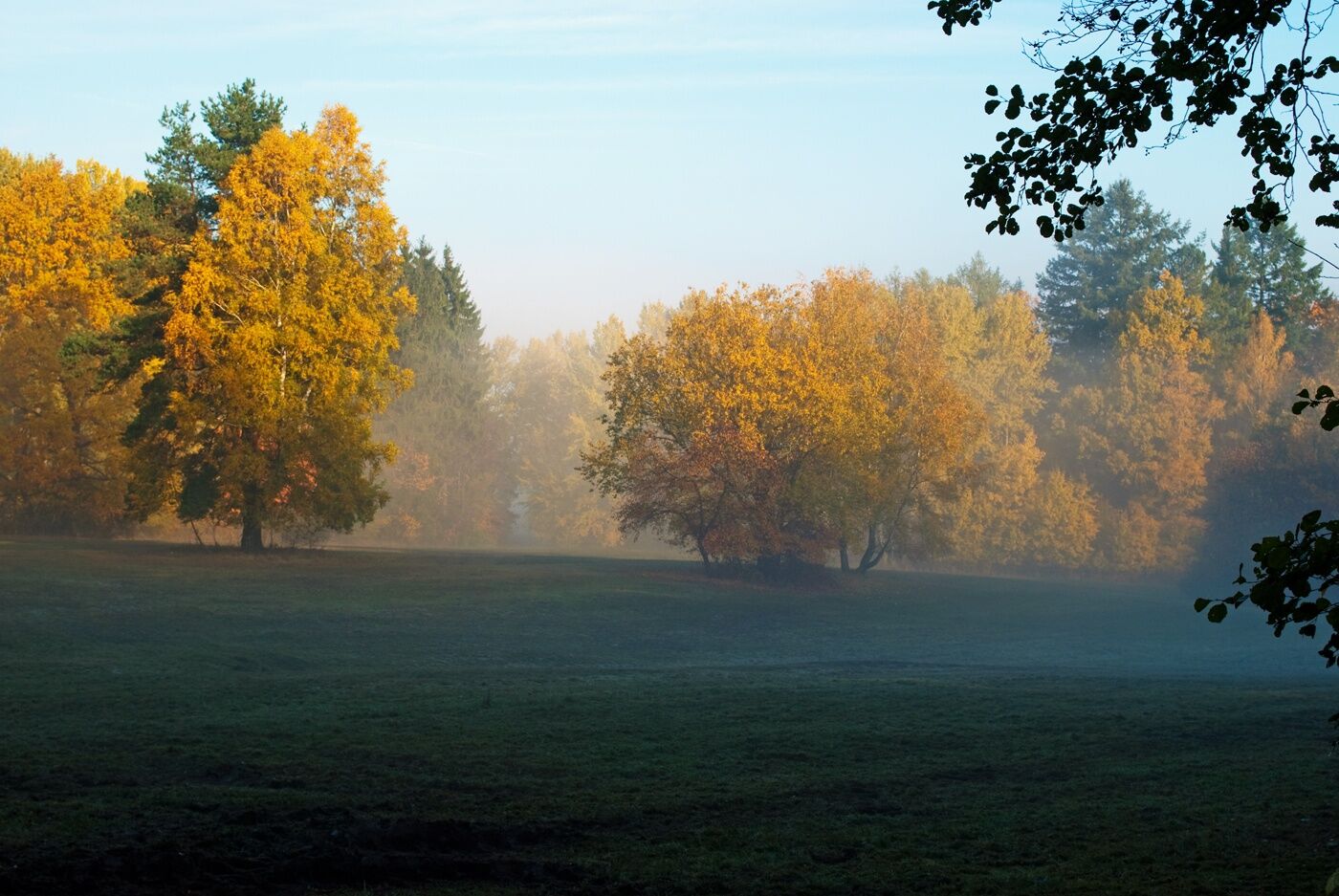
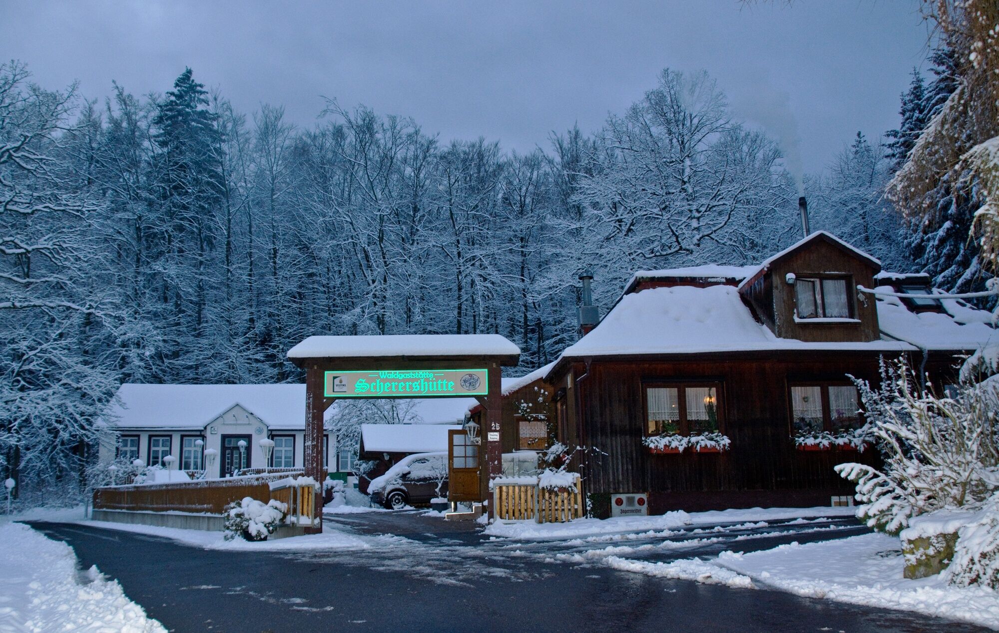
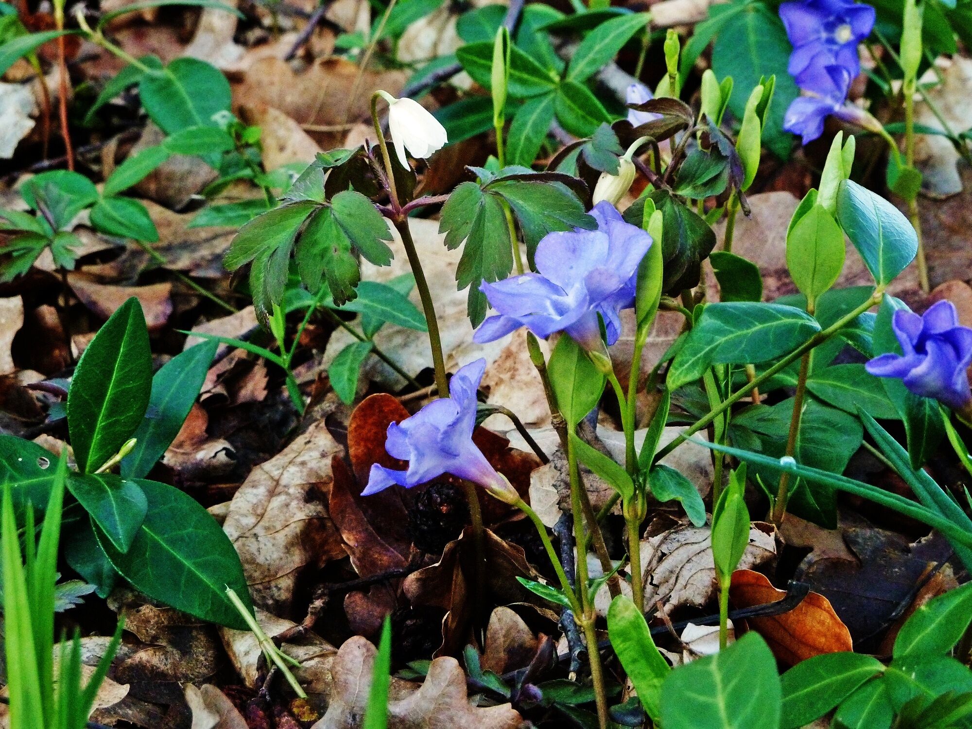
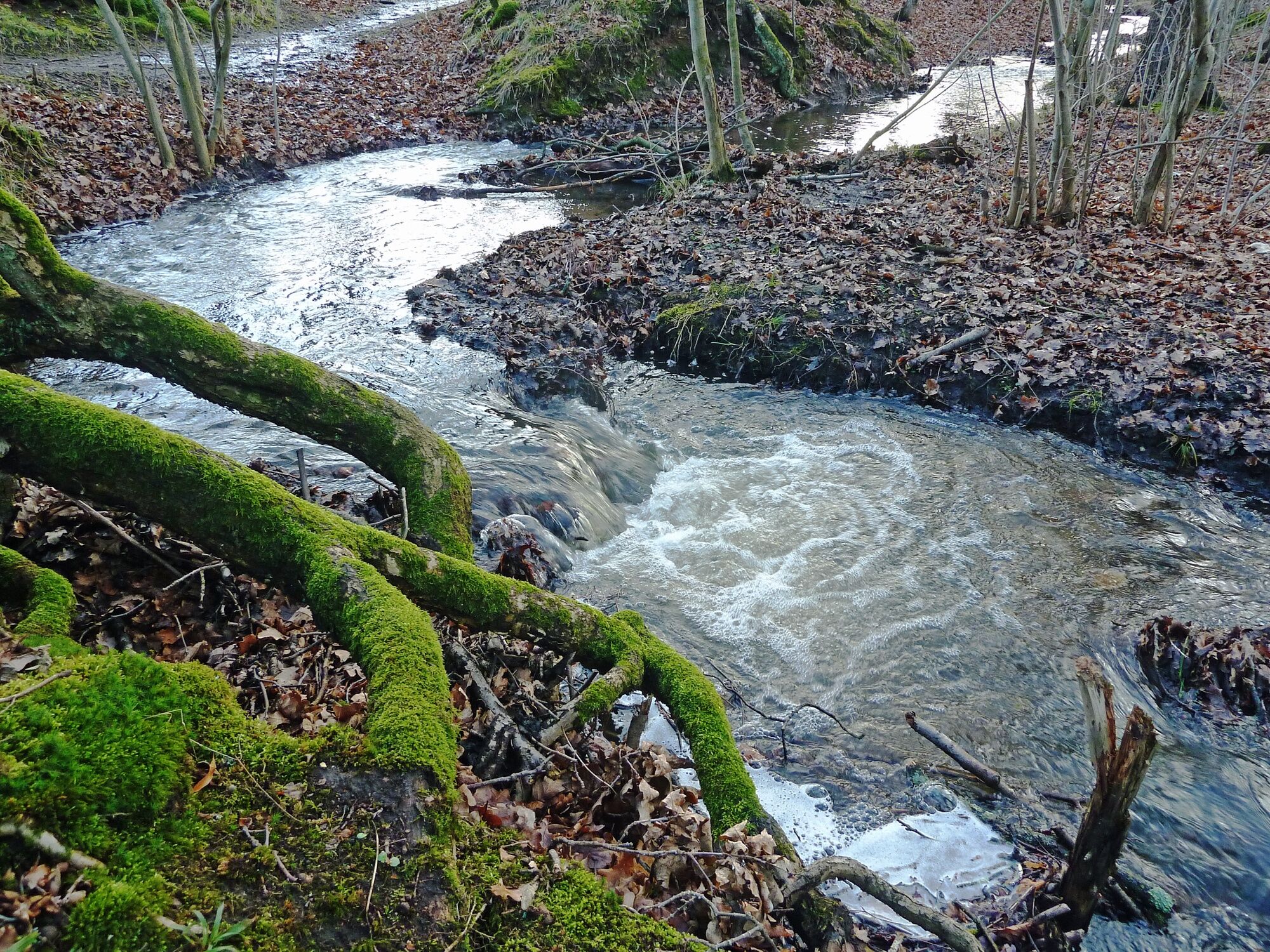
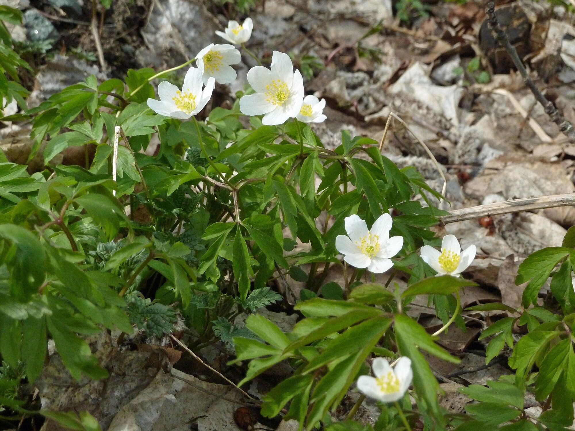
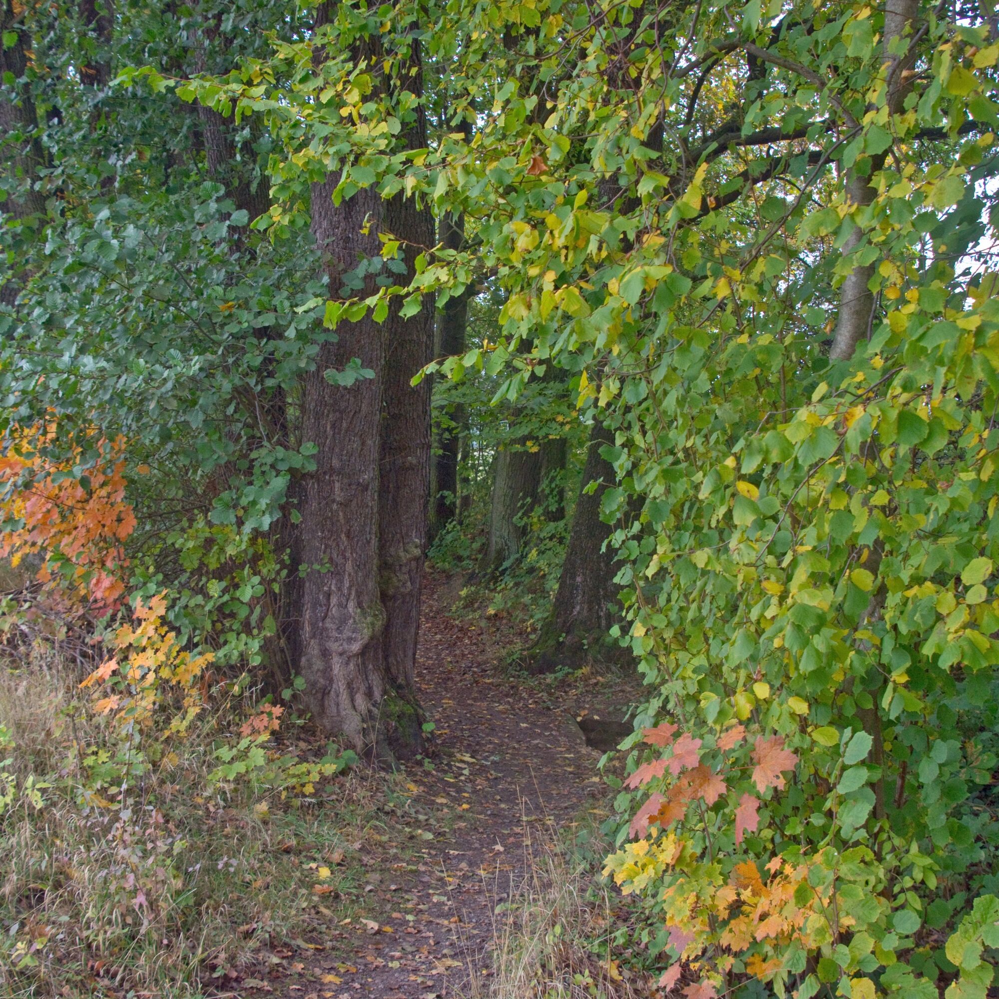
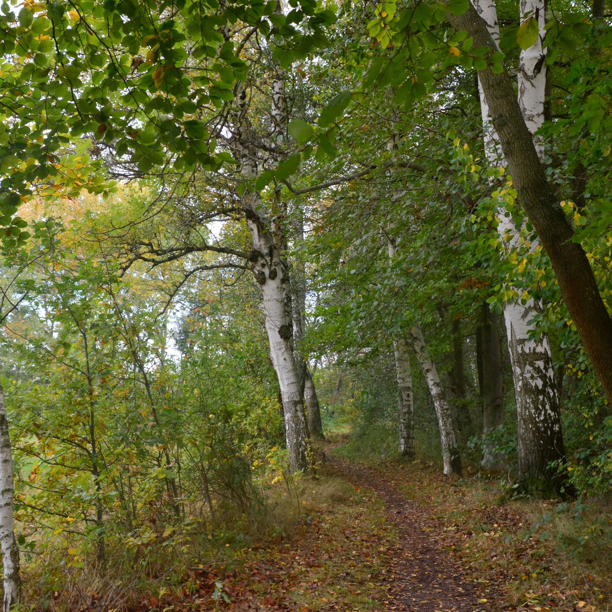
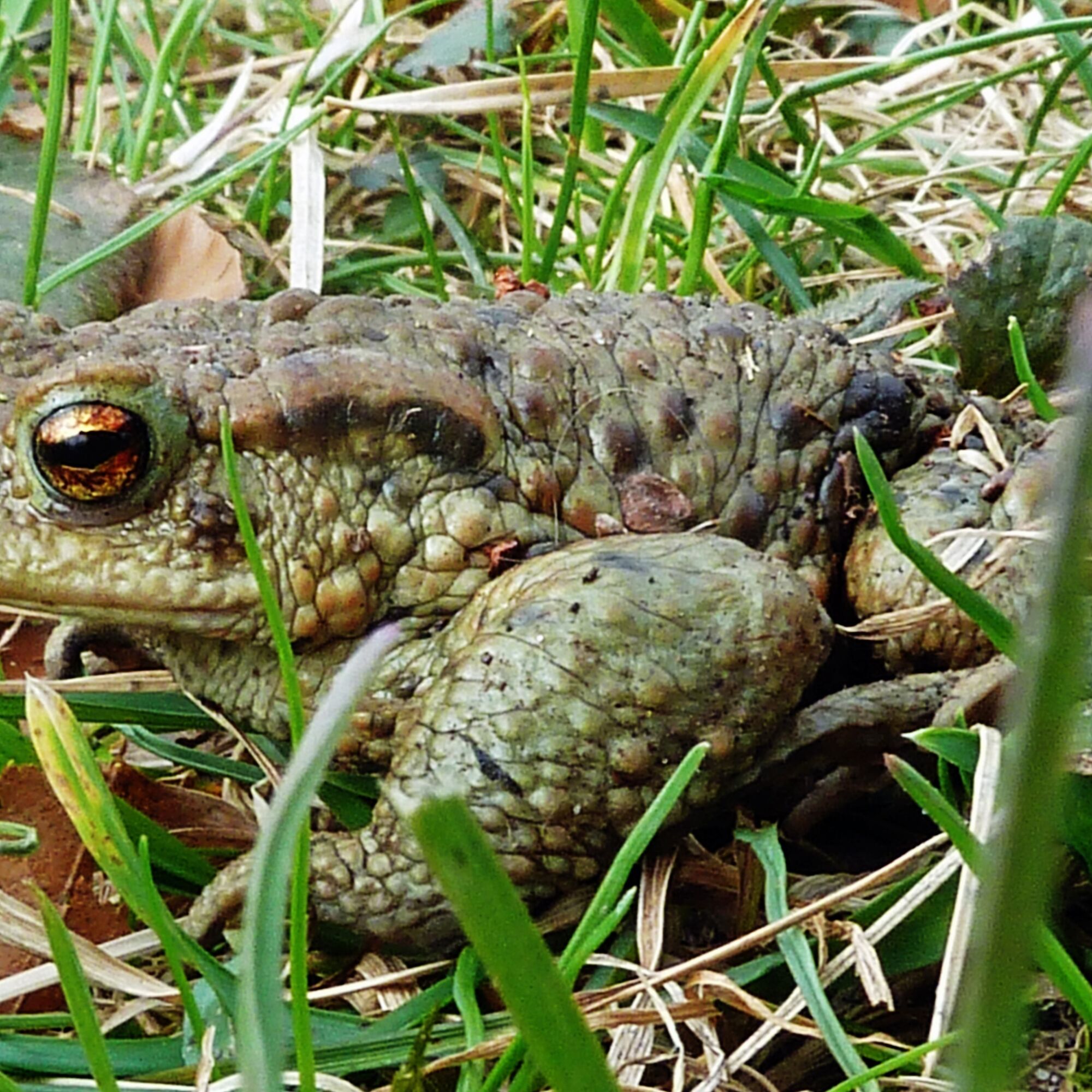
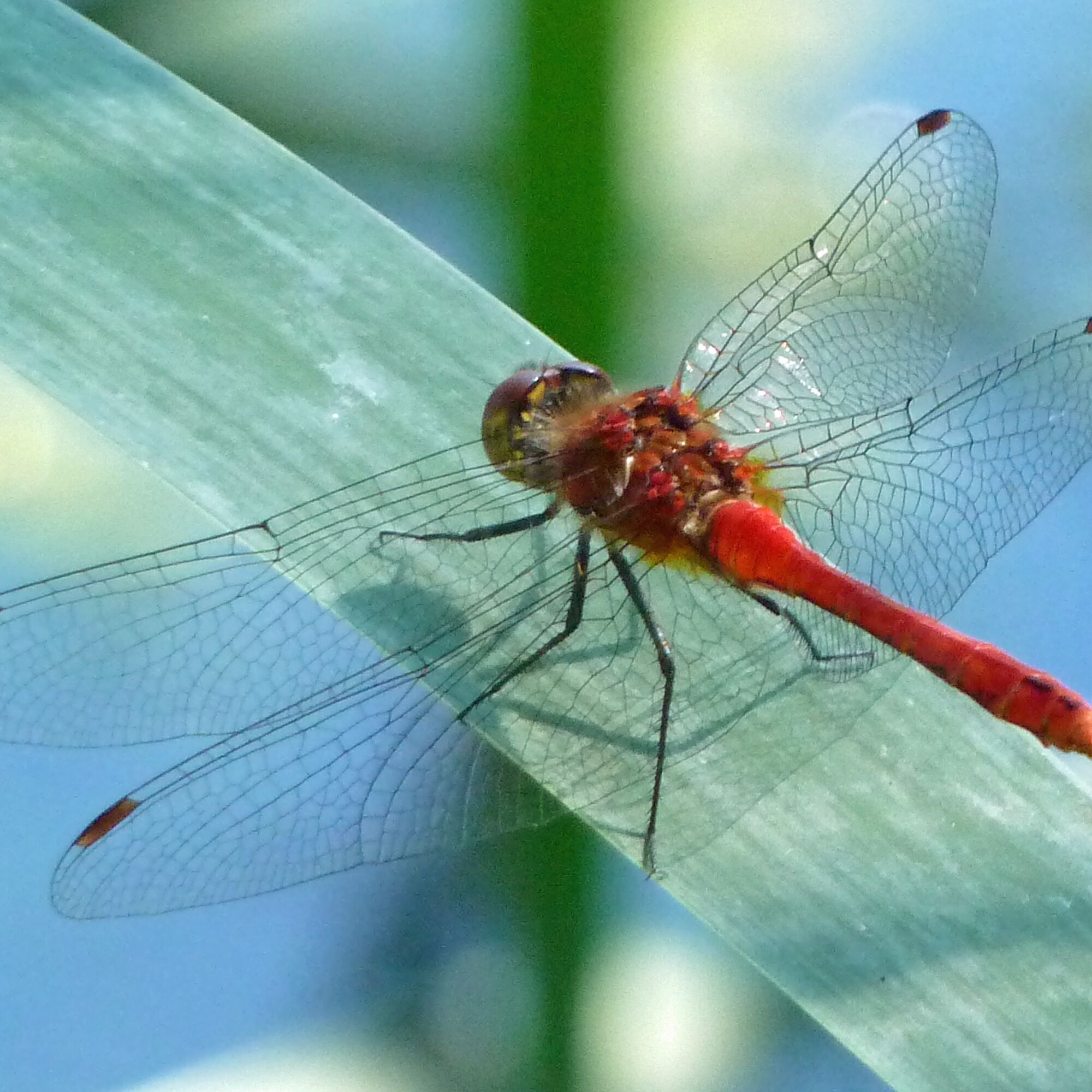
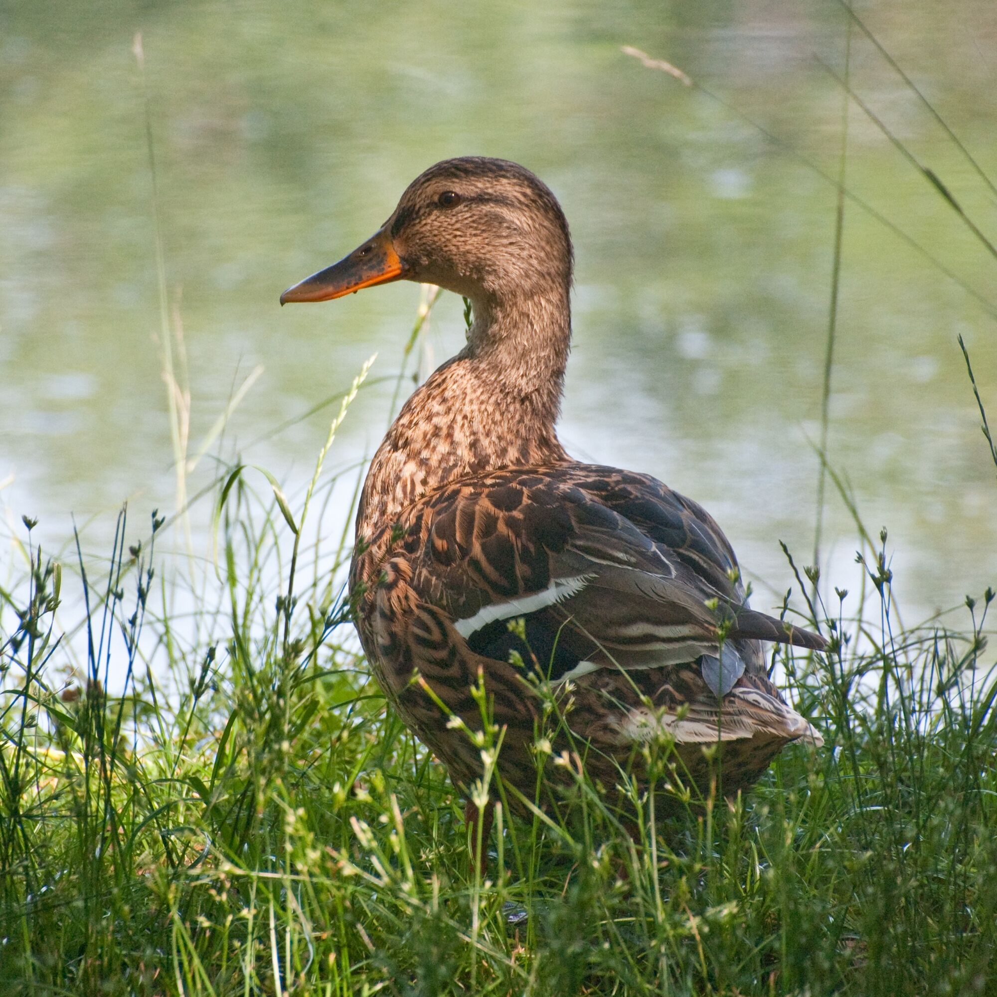
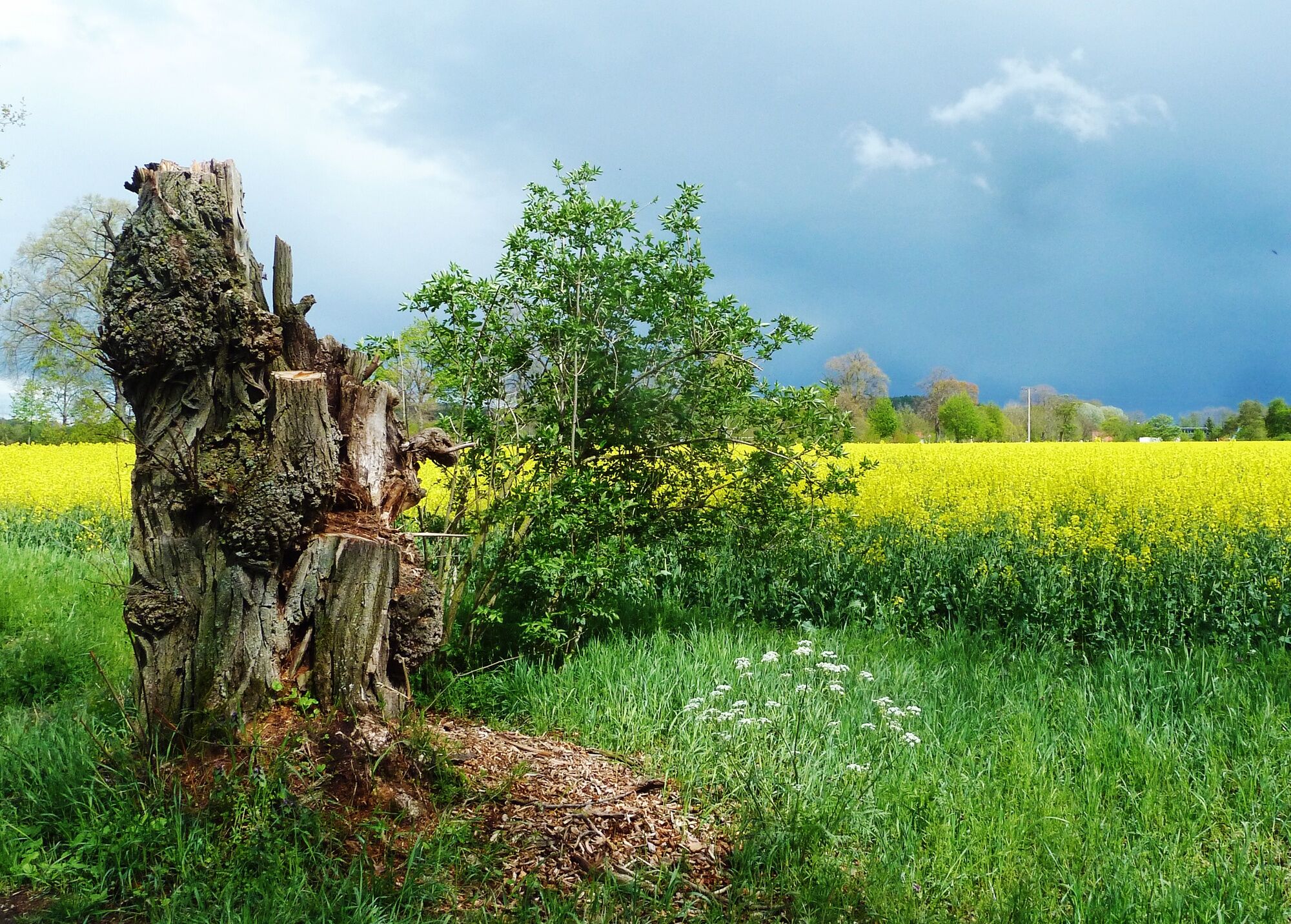
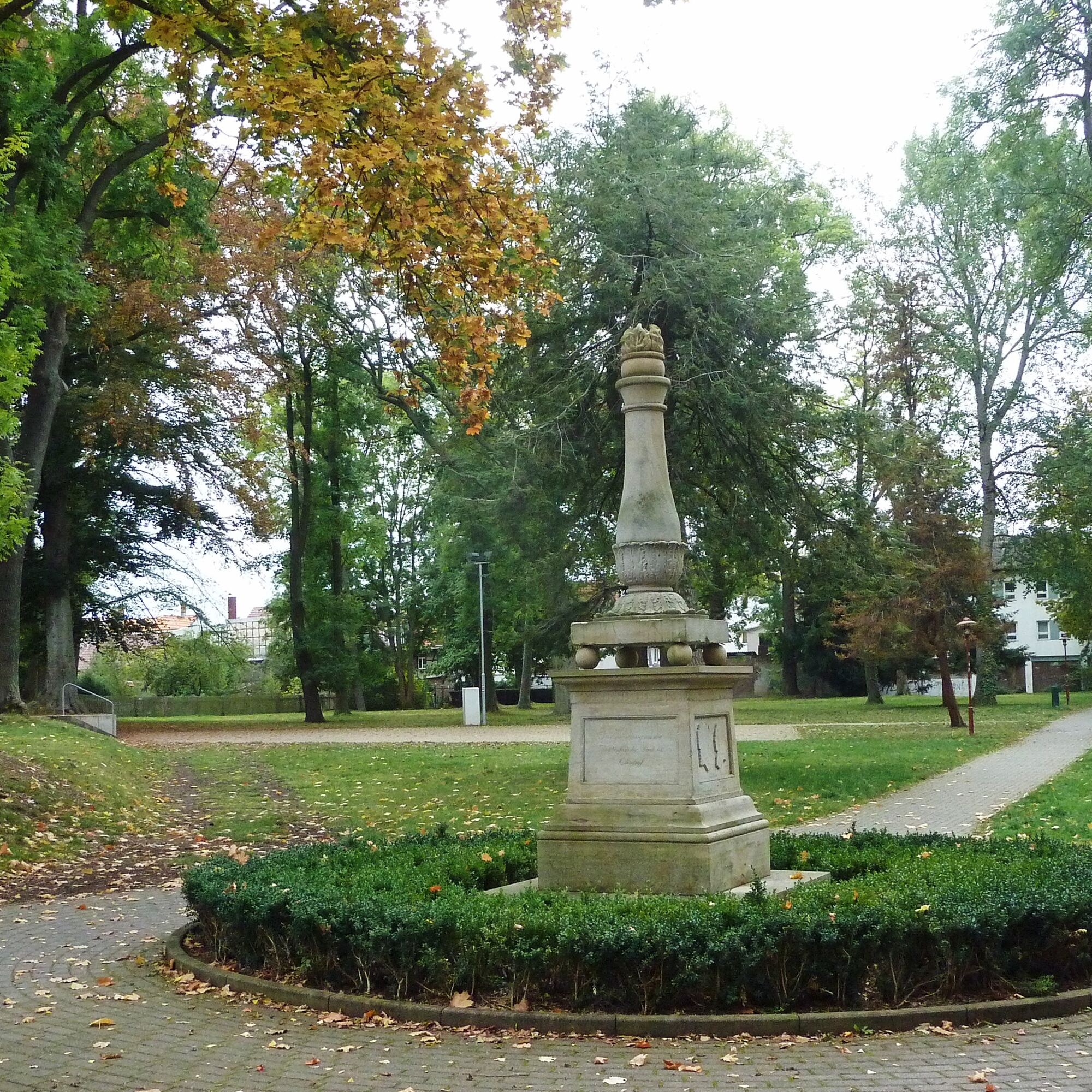
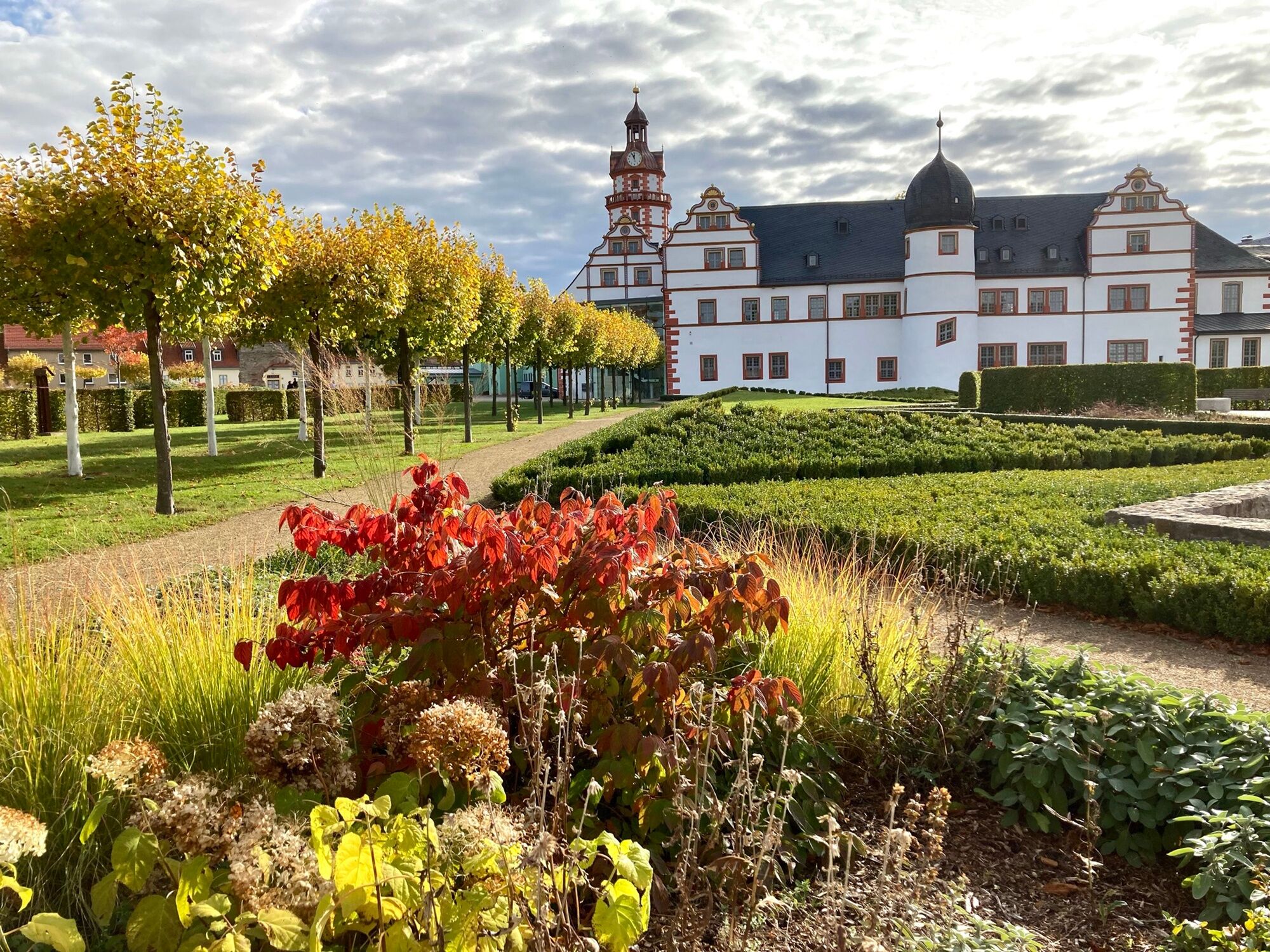
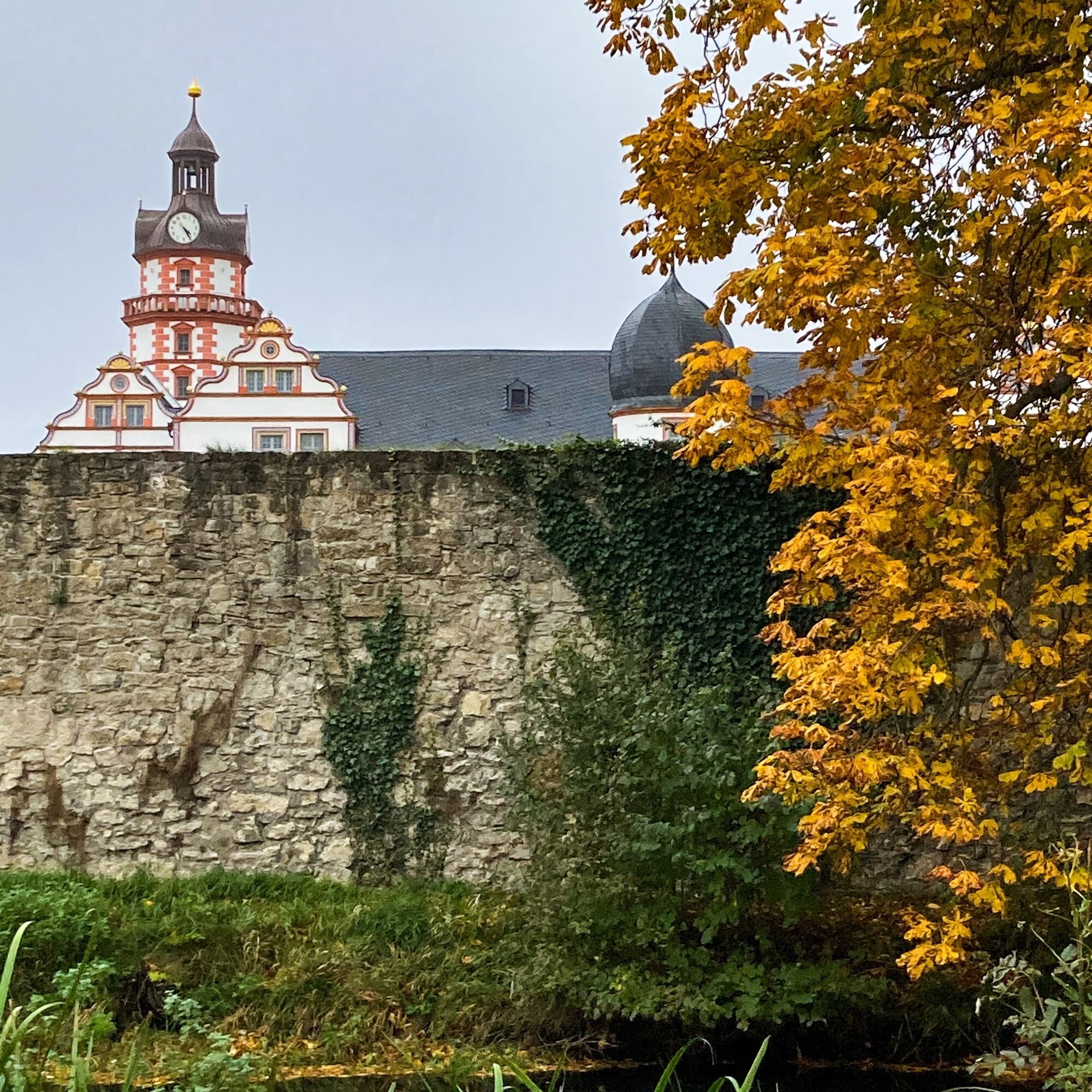
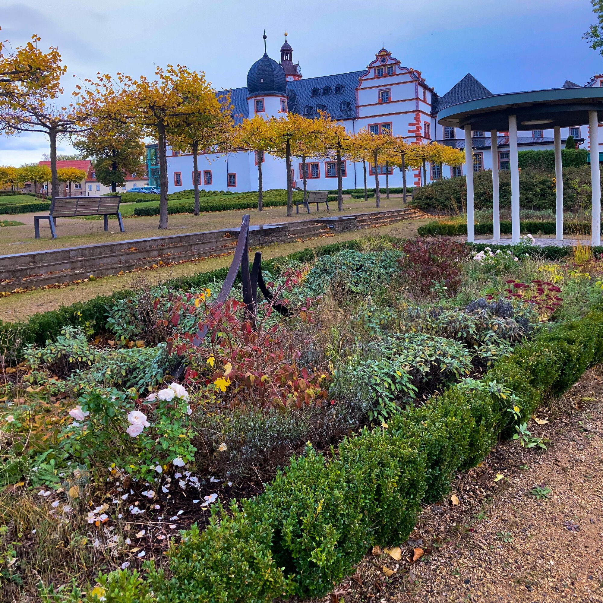

Castle Park – City Wall – Ohrabrücke – Katz Staircase – Market Square – Shoemaker Fountain – St. Trinitatis Church – White Path – Kuhhalter Meadow – Forest Guesthouse Scherershütte – Staff Bushes – Lawn Pond – City Park – City Wall – Castle Park
Tak
Tak
Waterproof footwear as part of the path is a meadow trail
Clothing adapted to the weather
Trekking poles as needed
Possibly a camera or binoculars
A drink reserve is recommended,
From Eisenach or Ilmenau take the B 88 to Ohrdruf, then follow the signs to Ehrenstein Castle parking lot.
On the A71 access is also possible via the Gräfenroda junction.
From Gotha or Oberhof take the B 247 to Ohrdruf and follow the signs toward Ehrenstein Castle.
Access is also possible via the A4 highway. In this case, use Exit 42 (Gotha) toward Ohrdruf.
Use bus lines 857, 860 and 861 to Ohrdruf Church. The circular hiking trail passes directly by the stop and can be started in either direction. With lines 860 and 861 there is a transfer option to the train in Gotha.
You can use the following portals for your travel planning:
Quick information RVG-Gotha Travel planning Deutsche BahnThere are plenty of free parking spaces at the Castle Park (Google NAV Point)
T1

Popularne wycieczki w okolicy
-
4,3
Rund um die Ohratalsperre
światłoWędrówka 14,5 km -
4,6
Summit and panoramic route - Route 1 - Bad Tabarz
średniWędrówka 10,9 km -
4,4
Circular hike "Old Tambach Dam", Tambach-D., Thuringian Forest
średniWędrówka 8,33 km -
3,8
Wanderung zum Spitterfall
średniWędrówka 14,6 km -
4,8
Circular hike - Schmalwasser reservoir - Tambach-Dietharz - Thuringian Forest
średniWędrówka 13,8 km -
4,0
Circular hiking route "Oberschönauer Felsenwanderung" - Steinbach-Hallenberg - Thuringian Forest
ciężkiWędrówka 12,0 km -
4,0
Zu den Schanzen im Kanzlersgrund
średniWędrówka 9,58 km -
4,0
Arnstadt - Bittstadt - Holzhausen - Haarhausen
średniWędrówka 20,1 km -
4,5
Circular hike to Bärenstein & Pfanntalsteich
średniWędrówka 9,10 km -
4,2
TOP 5 - circular hiking route - "Forsthaus Sattelbach" - Oberhof
światłoWędrówka 3,67 km
Wędrówki i tropienie


Nie przegap ofert i inspiracji na następne wakacje
Twój adres e-mail została dodana do listy mailingowej.





