






Circular route "Historic Sports Venues-Wadeberg Bobsleigh Track" Oberhof

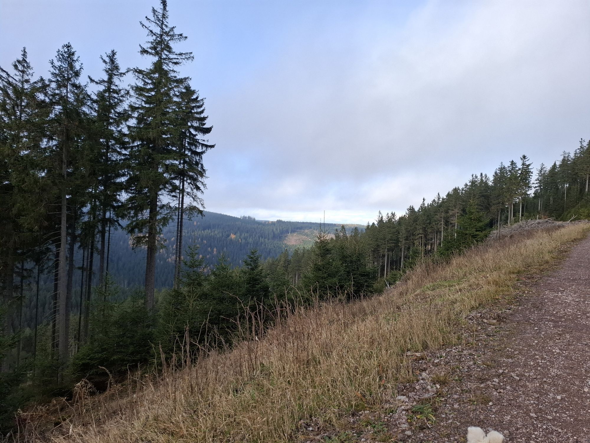
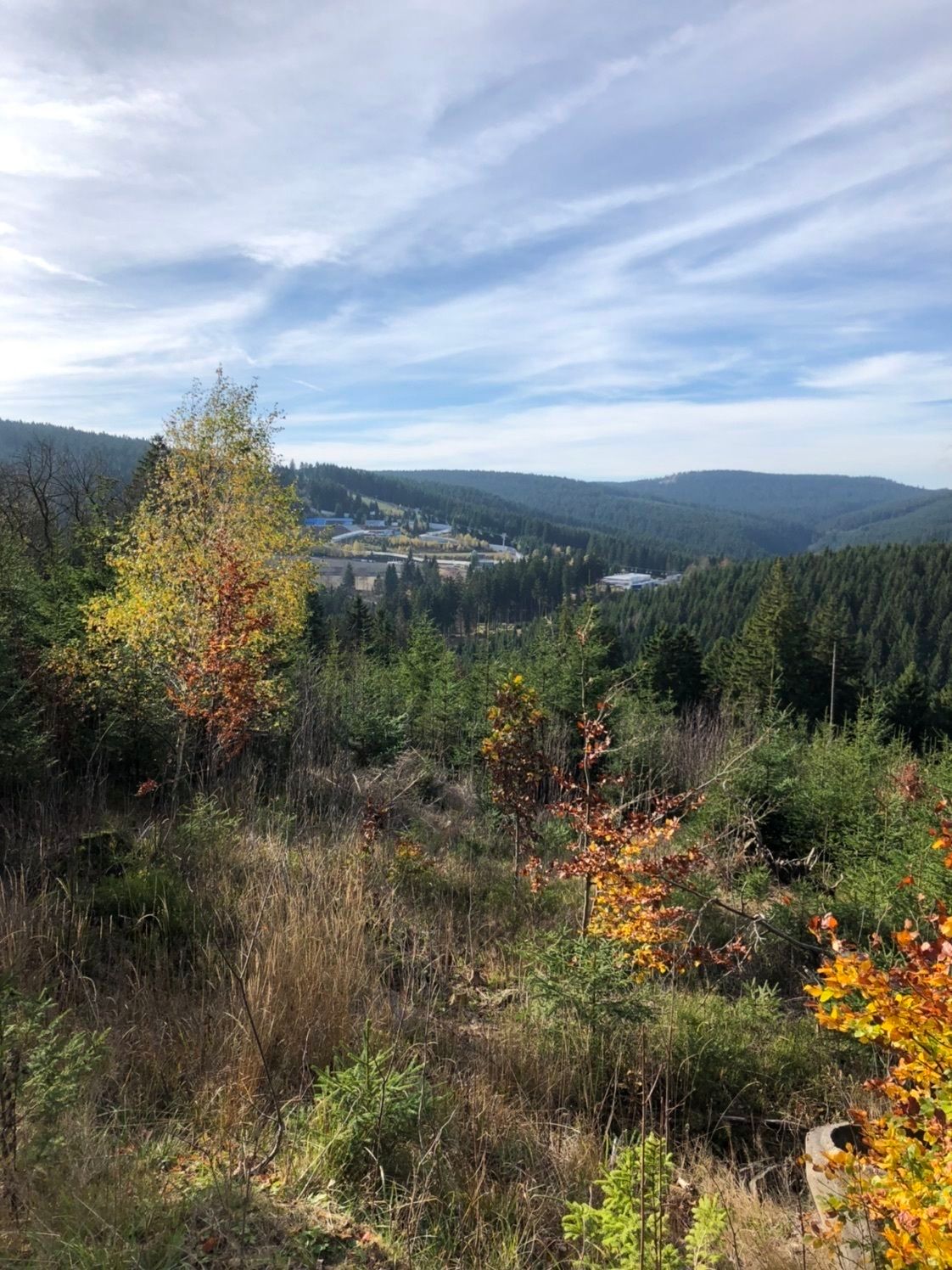
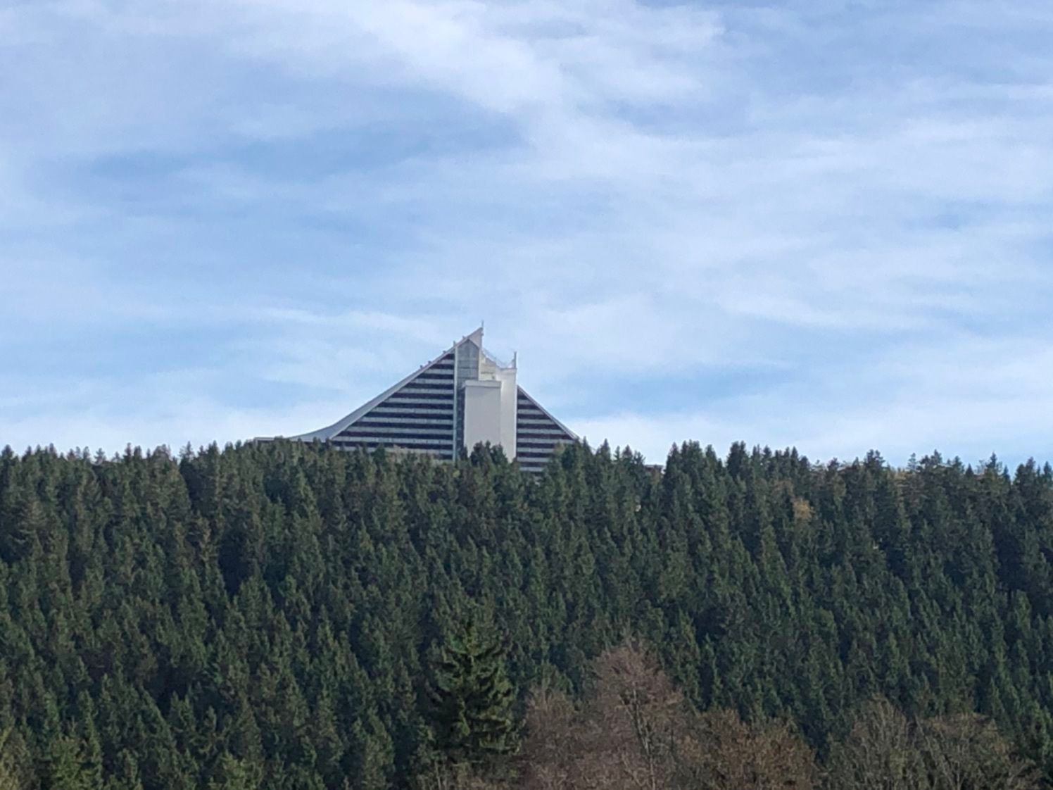

Travel back over 100 years in time. Numerous display boards invite you to dive into another world with exciting facts and stories from the founding era. Illustrated, the boards show the original venues...
Travel back over 100 years in time. Numerous display boards invite you to dive into another world with exciting facts and stories from the founding era. Illustrated, the boards show the original venues of the brave sporting achievements of a long-forgotten time. Feel the breath of history. At the same time, hike with a wonderful view over to the modern sports facilities of Oberhof. These impressively nestle into the ridge of the Thuringian Forest.
Especially in the morning, when the dew still glistens on the grass and the scent of fir trees is particularly intense, one should take this hike at the edge of Oberhof at least once. The founding years of Thuringian winter sports were daring. The routing of the historic bobsleigh run can still be traced in places. Pure nature and a journey back in time at once. The first official ski competitions in Oberhof took place in 1905. The Wadeberg bobsleigh run was one of the fastest tracks in the world.

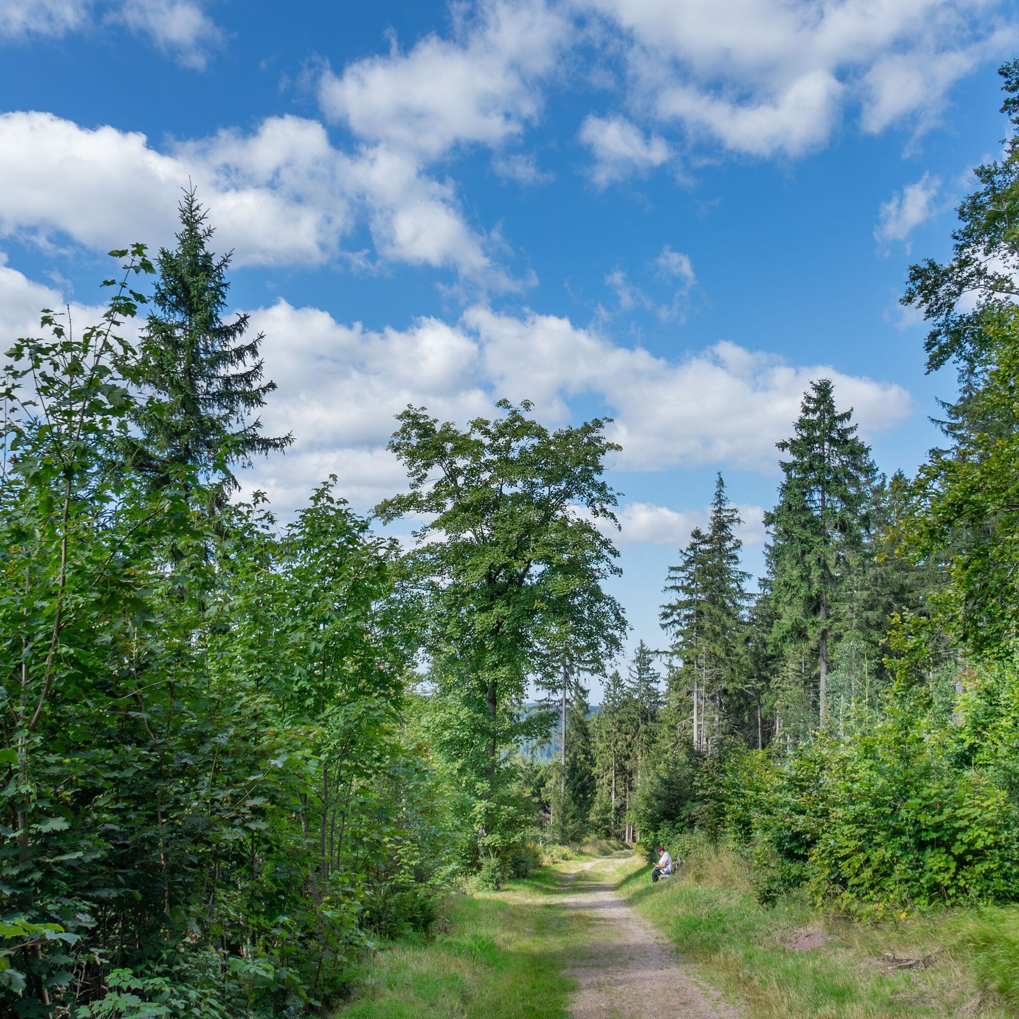
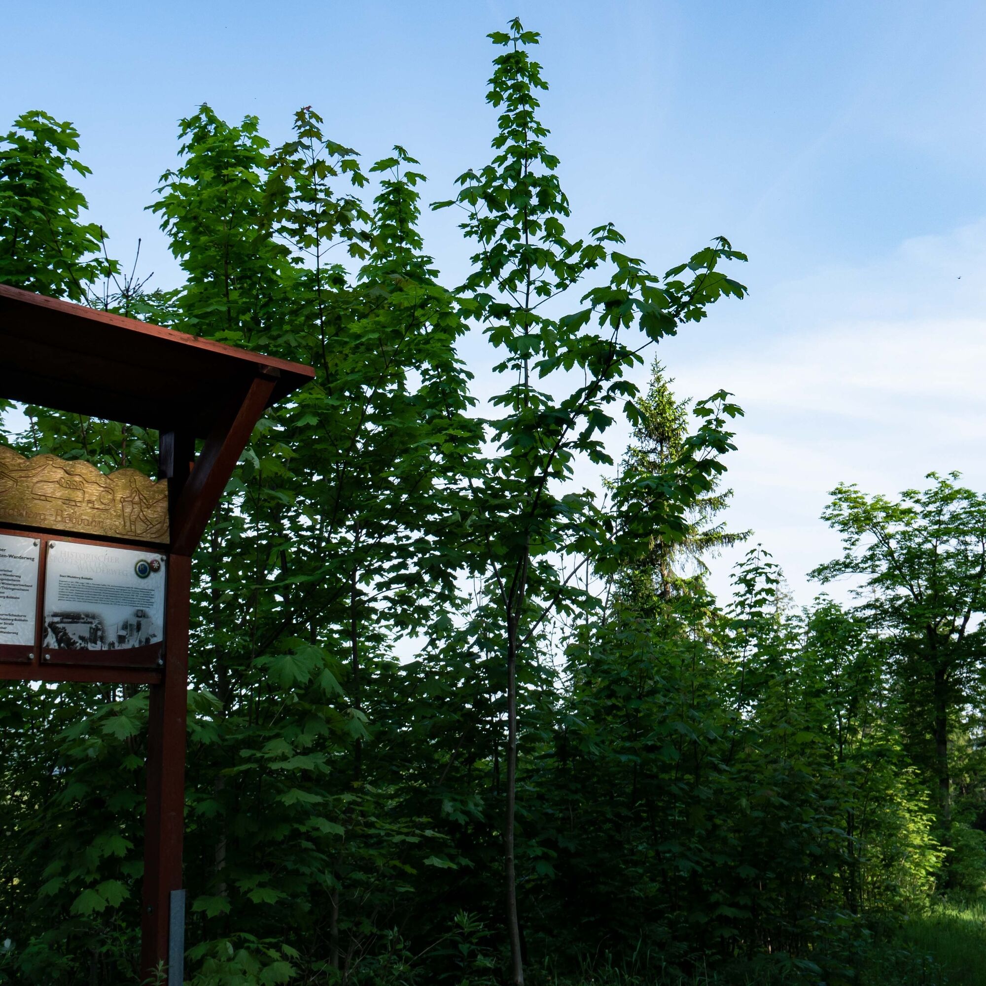
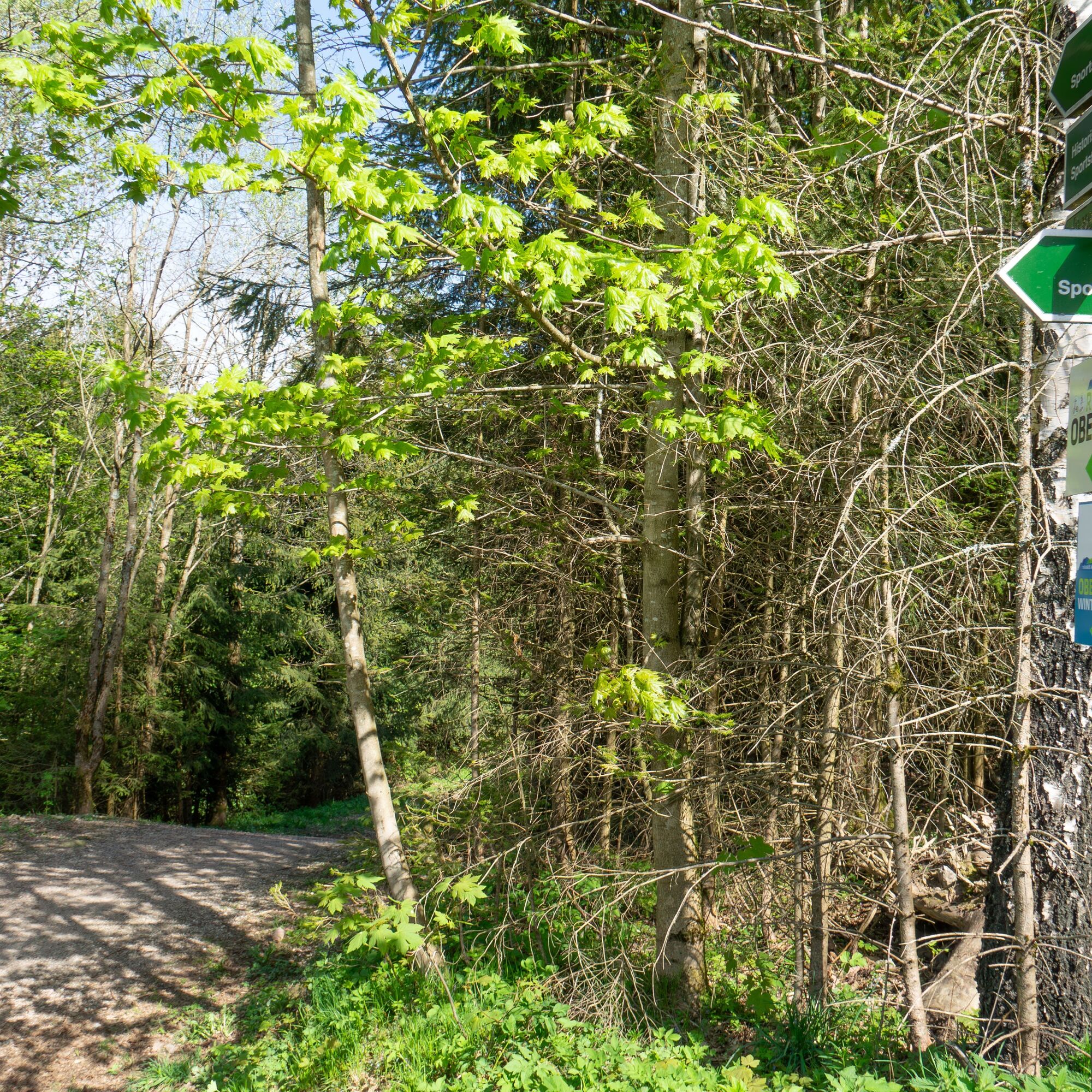
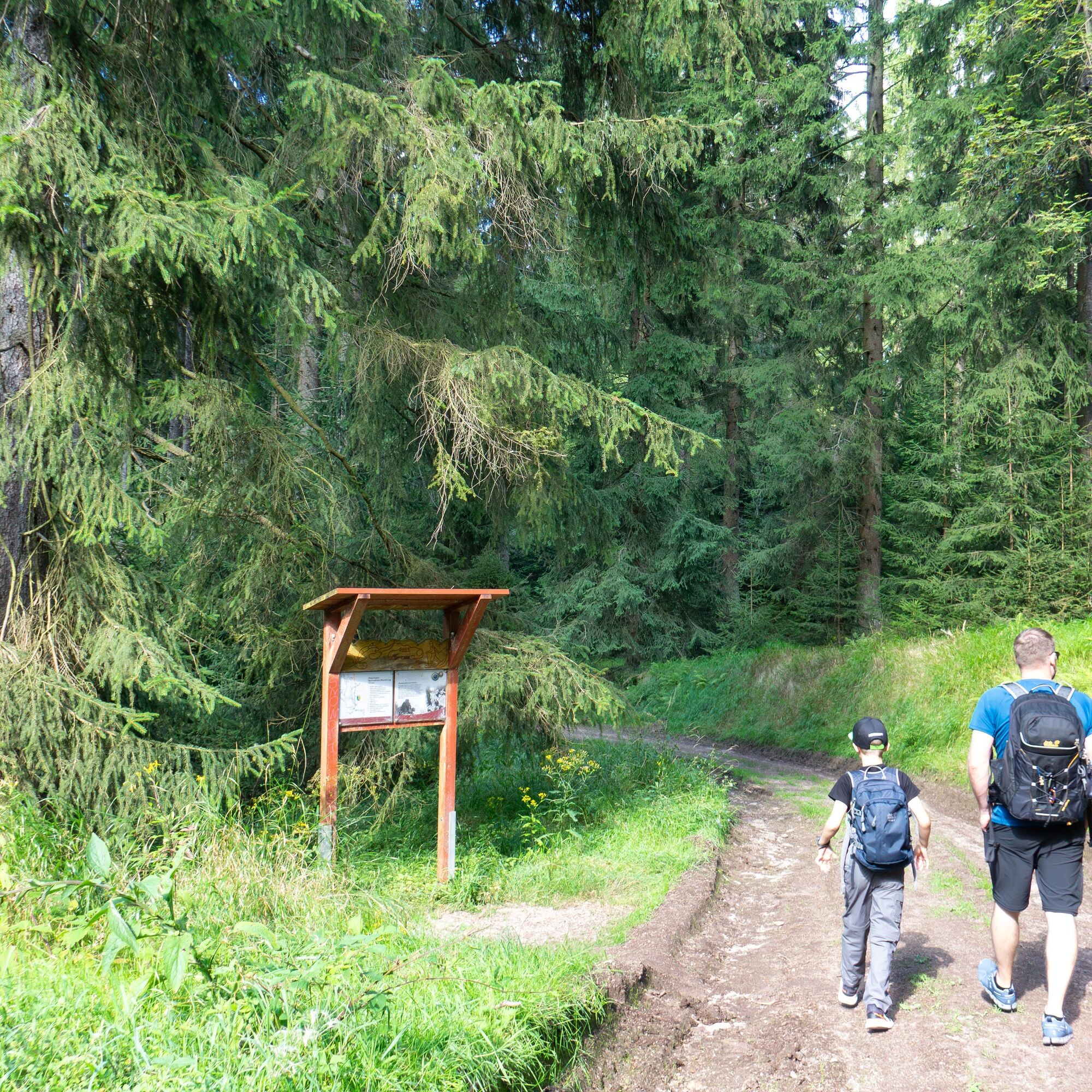
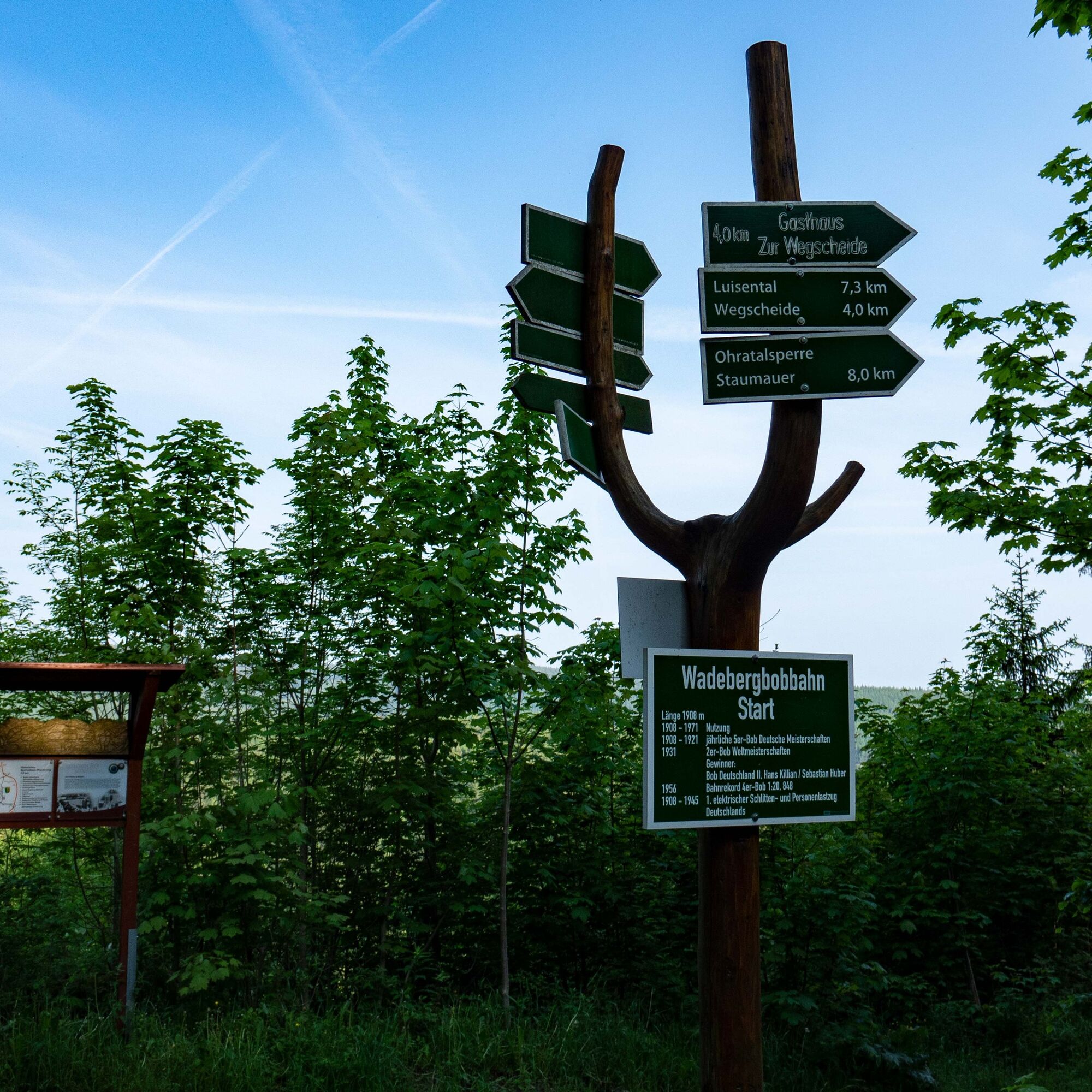
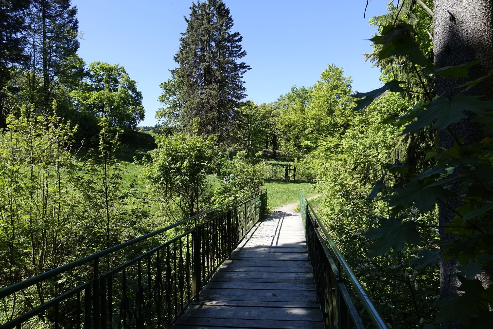
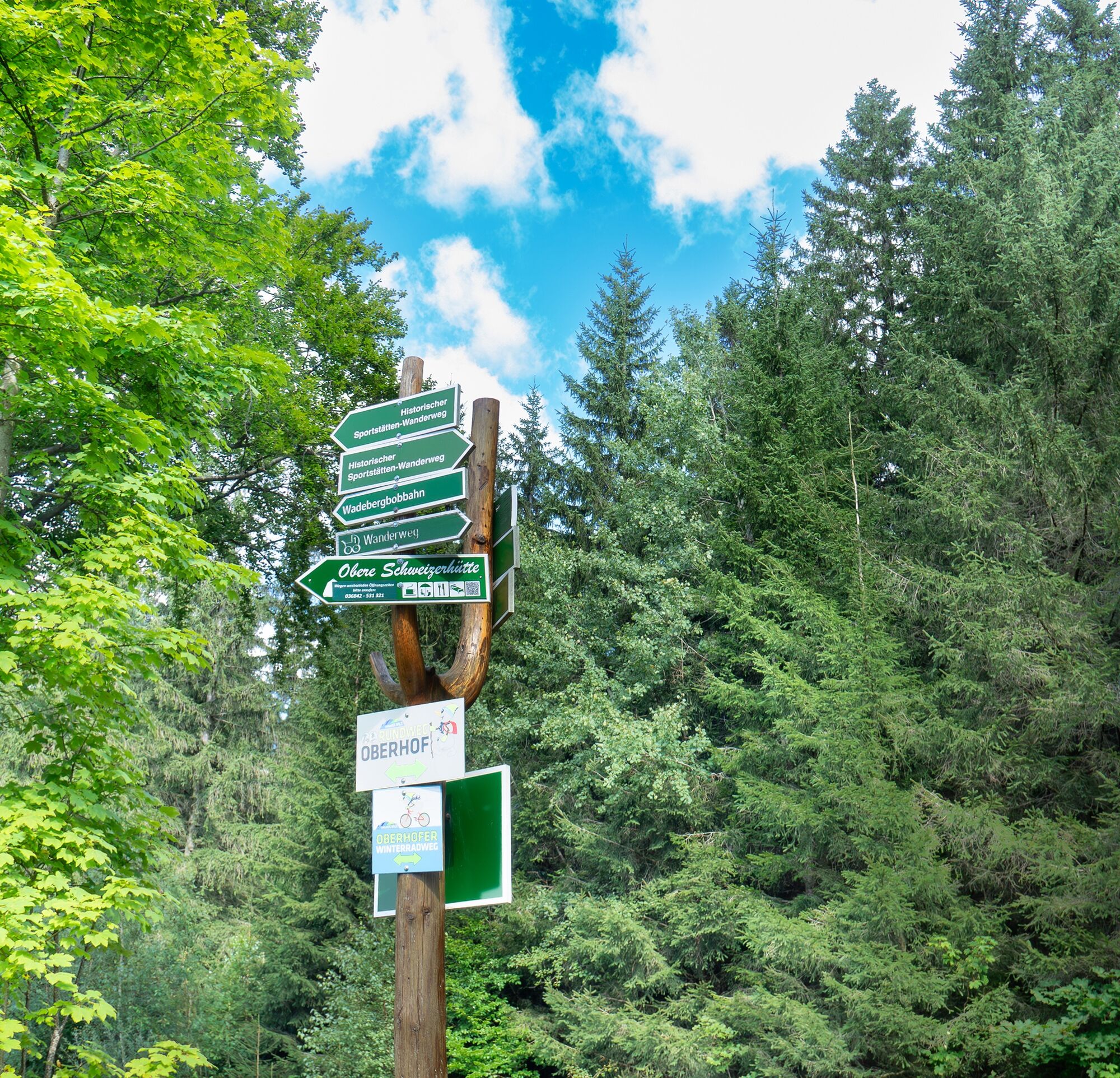
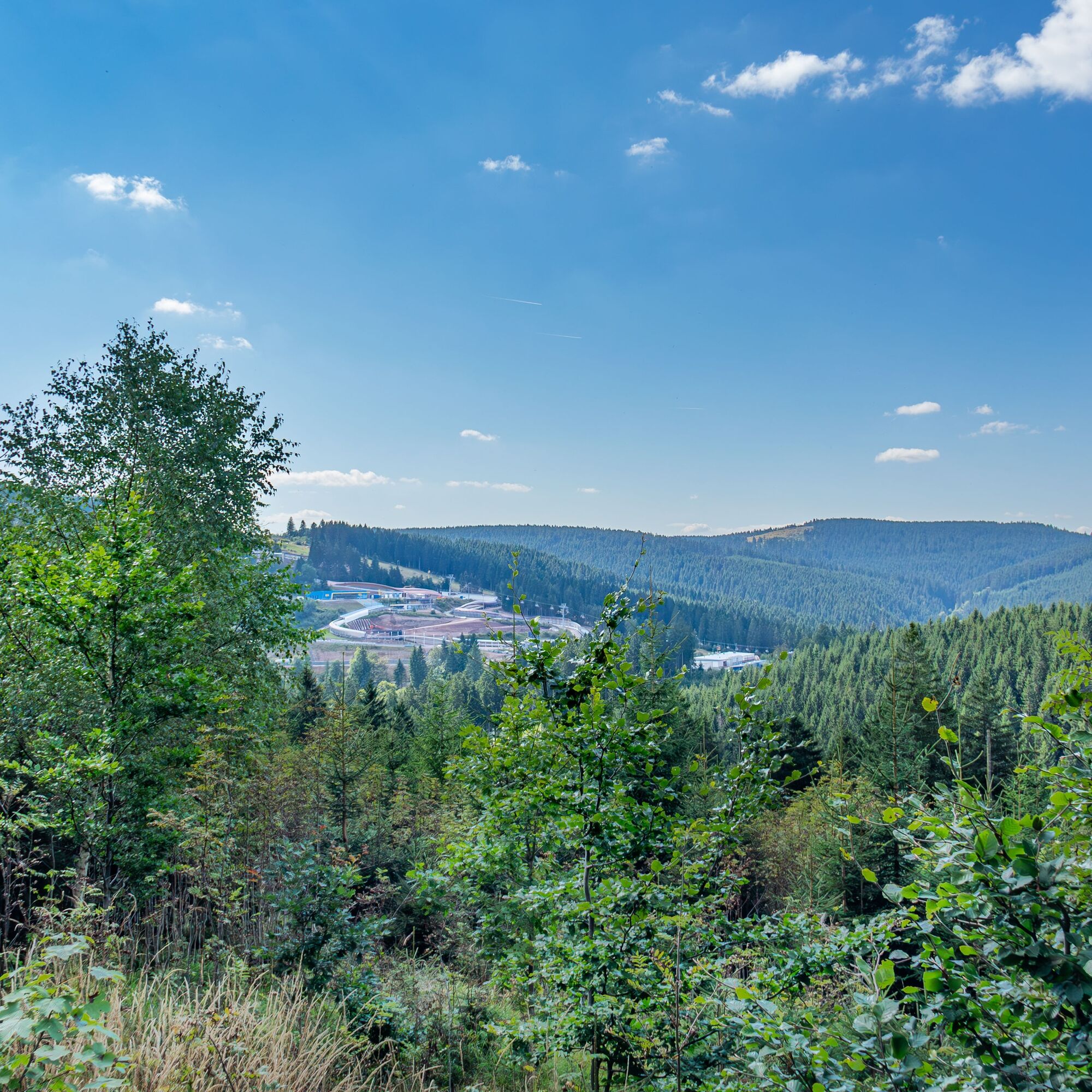
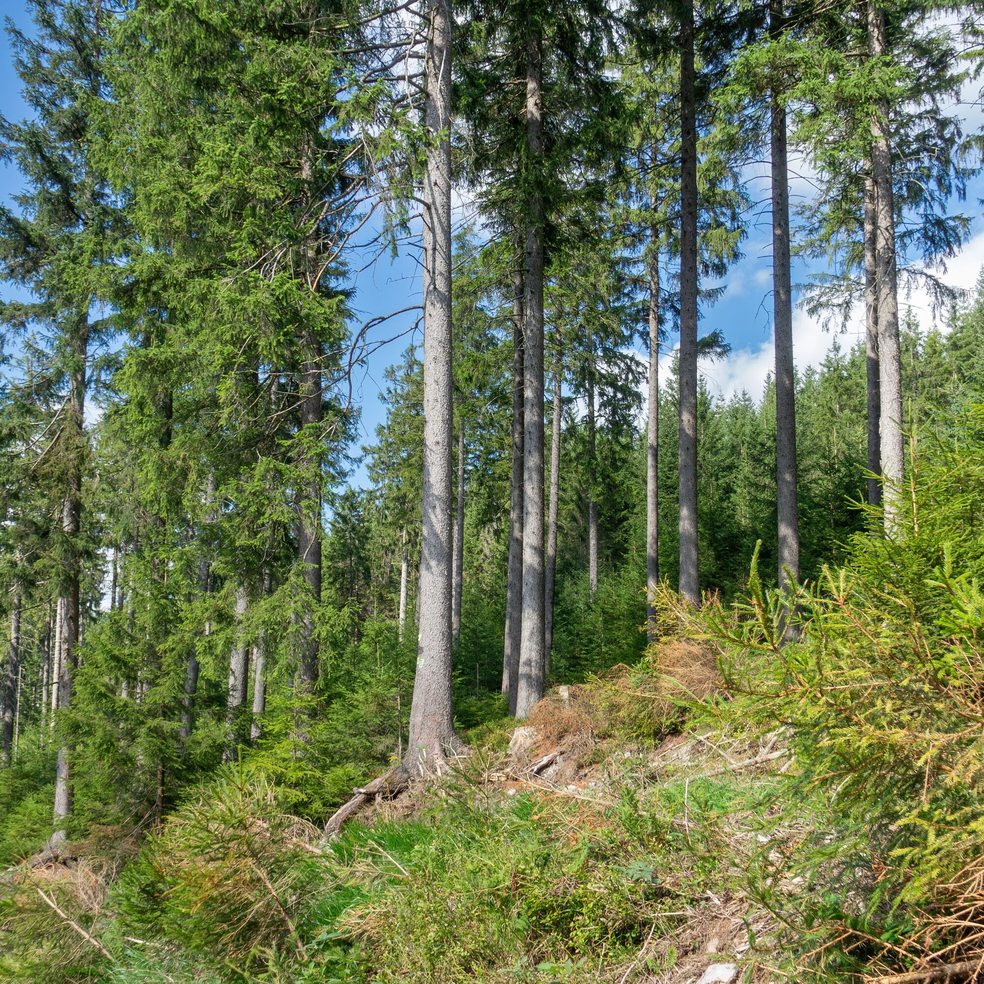
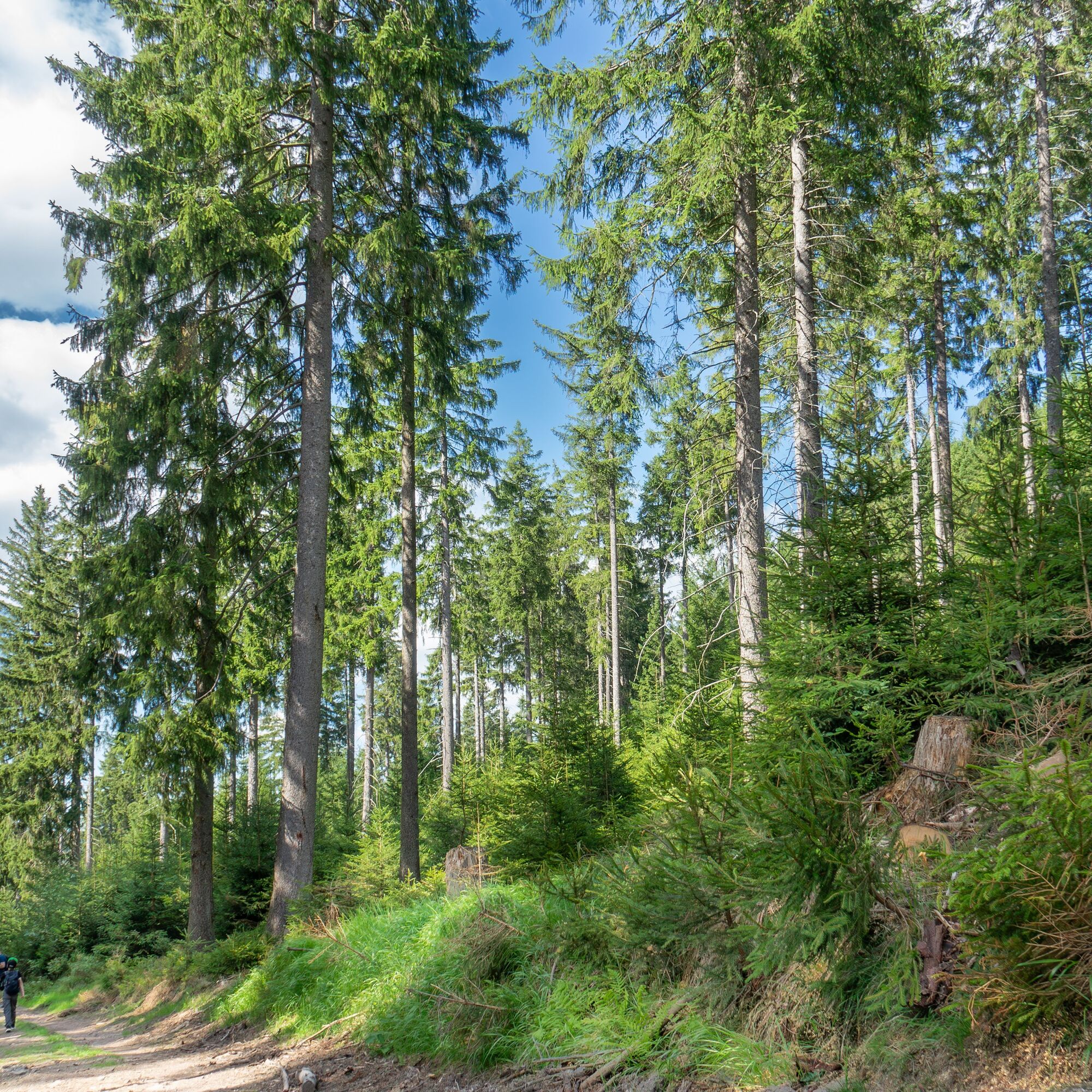
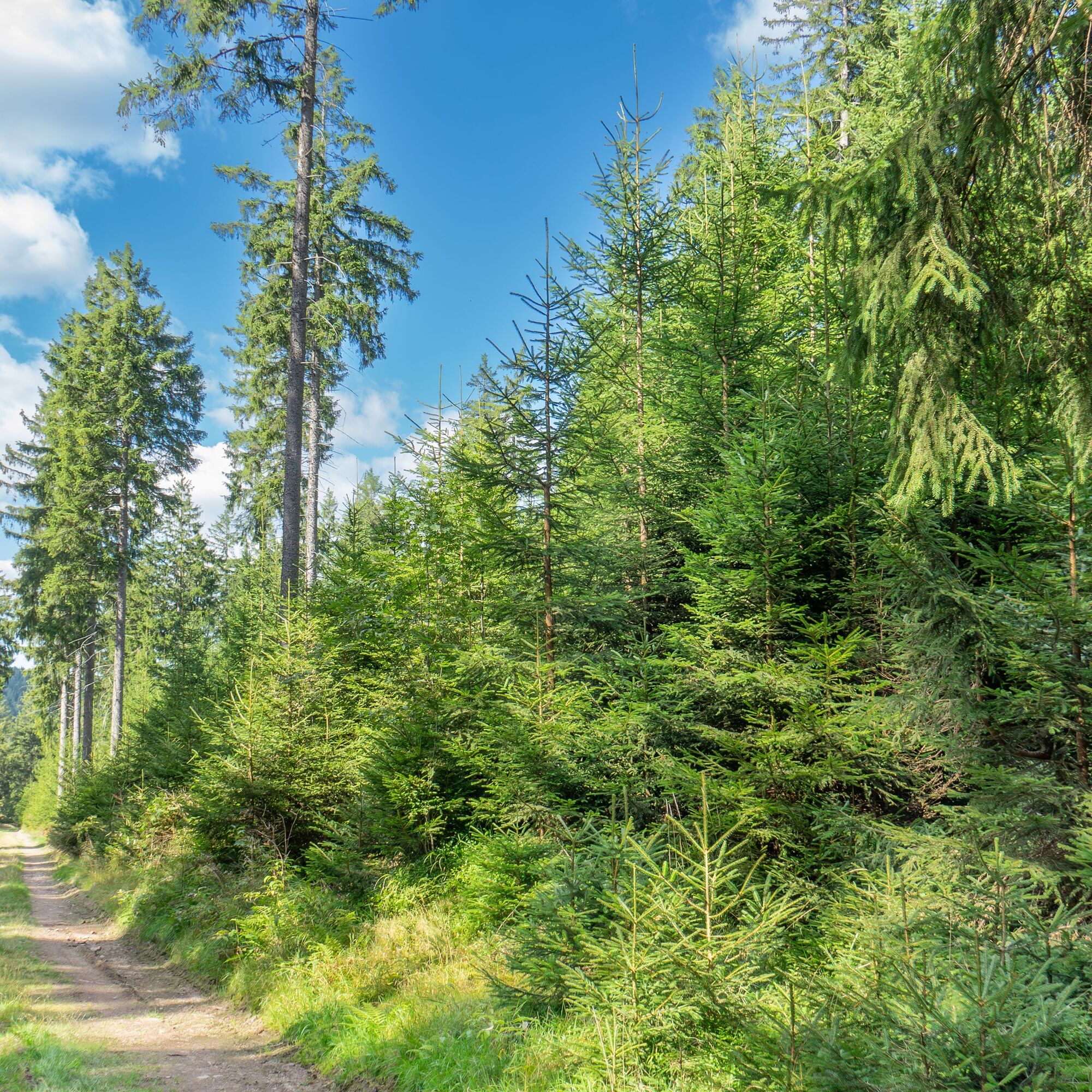

From the Oberhof Information towards "Wadeberg" - follow the signs for the "Historic Sports Venues Route" to the Oberenschweizerhütte, where the path leads back up towards Crawinkler Straße - This is a circular route, so you can start at various points.
Sturdy footwear
Hiking clothing and insect repellent
First aid kit
Food & drinks
Sun protection
The hike partly leads over paths where sure-footedness is required. The hike includes some strenuous climbs. Therefore, sturdy hiking shoes are highly recommended.
- stay on the path
- Please do not leave any food scraps, packaging material, or other items on the path
Coming from the A71, exit 18 (Oberhof) and continue on L3247 towards Oberhof. From the main road, turn right at the first opportunity towards Oberhof (center). From L3247, take the "Nordknoten" Oberhof exit towards Panorama Hotel.
You can reach Oberhof from Zella-Mehlis. From there, take bus line 422 to Oberhof bus station. For travel planning, simply use the Deutsche Bahn travel information. → Arrival in Oberhof, bus station (please enter your starting point and desired travel dates in the following form)
Bus line 423 - Stop "Oberhof, Am Friedhof"
As a holder of the Oberhof Card, you can use the Oberhof city line 423 entirely free of charge, as well as the section Oberhof, bus station - Rondell/Rennsteiggarten of line 422.
You can park at several locations. At the starting point at Kurpark there is a parking lot, or you can use the parking lot Am Wadeberg just behind the forest cemetery. Partially paid. (Google NAV point) - then you do not start directly at Oberhof Information.
Crawinkler Straße 2
98559 Oberhof
Phone +49 (0) 36842 / 269 0
Email: information@oberhof.de
The Oberhof Bikepark is open daily from Tuesday to Sunday. You can practically take the lift as a pedestrian from here up via the toboggan run and then walk back to Oberhof. Those interested can also make a detour to the Biathlon Stadium.

Kamery internetowe z trasy

Popularne wycieczki w okolicy
-
4,3
Rund um die Ohratalsperre
światłoWędrówka 14,5 km -
4,4
Circular hike "Old Tambach Dam", Tambach-D., Thuringian Forest
średniWędrówka 8,33 km -
4,7
Hike over the Rennsteig & the Schneekopf to the Schmücke
ciężkiWędrówka 21,0 km -
4,8
Circular hike - Schmalwasser reservoir - Tambach-Dietharz - Thuringian Forest
średniWędrówka 13,8 km -
4,0
Circular hiking route "Oberschönauer Felsenwanderung" - Steinbach-Hallenberg - Thuringian Forest
ciężkiWędrówka 12,0 km -
4,0
Zu den Schanzen im Kanzlersgrund
średniWędrówka 9,58 km -
5,0
Hiking - Summit hiking trail - Suhl-Goldlauter - Thuringian Forest
ciężkiWędrówka 32,1 km -
4,5
Circular hike to Bärenstein & Pfanntalsteich
średniWędrówka 9,10 km -
4,2
TOP 5 - circular hiking route - "Forsthaus Sattelbach" - Oberhof
światłoWędrówka 3,67 km -
4,7
Circular hike to Lütschetalsperre
średniWędrówka 13,0 km
Wędrówki i tropienie


Nie przegap ofert i inspiracji na następne wakacje
Twój adres e-mail została dodana do listy mailingowej.





