


Home of Lässig Walk


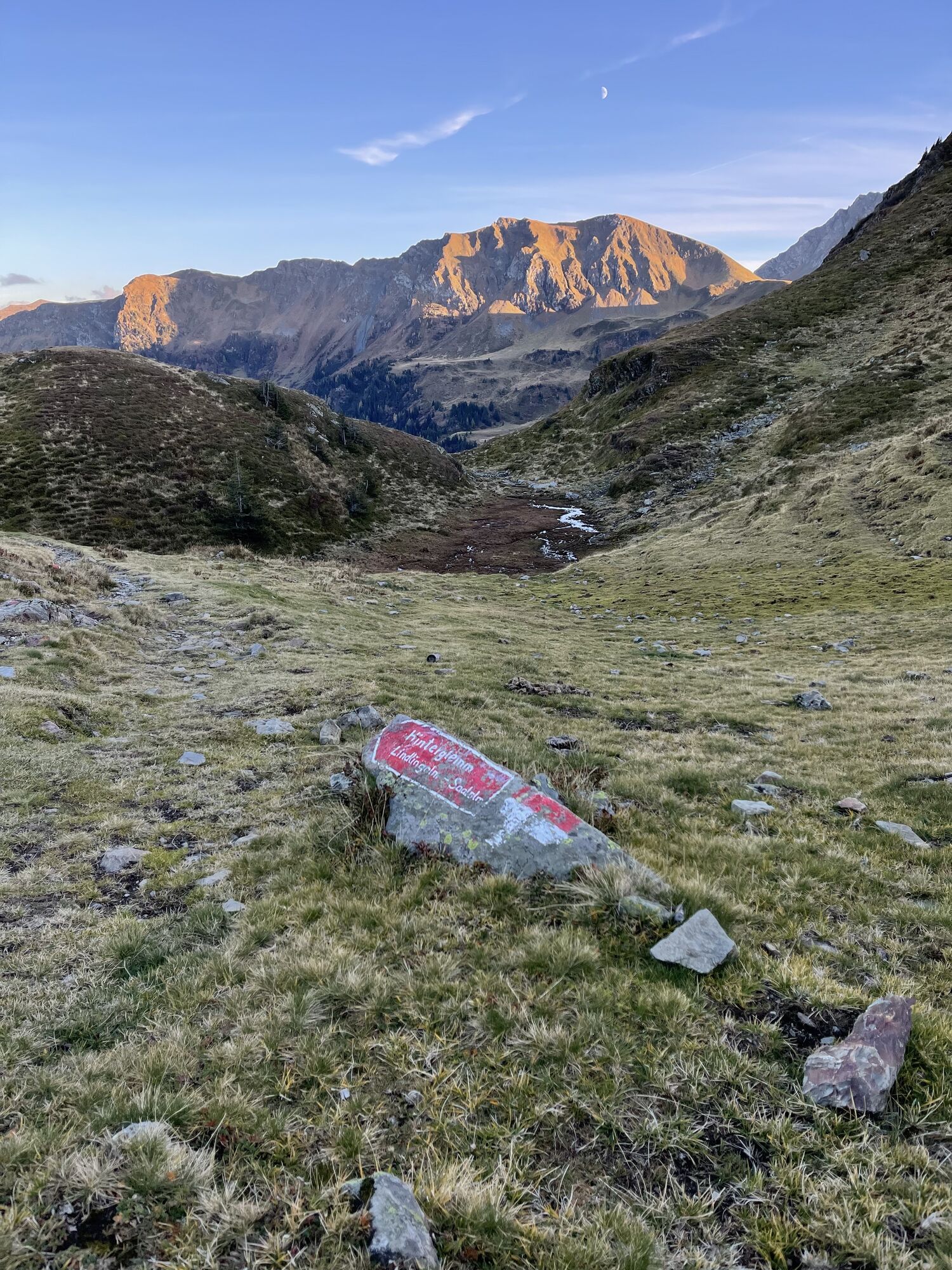


At the Lindlingalm, after about 200 m, turn left uphill over the Birgl to the Schusterscharte, where you can recharge your energy.
At the Teufelssprung, after about 4 hours of walking, a short break is...
At the Lindlingalm, after about 200 m, turn left uphill over the Birgl to the Schusterscharte, where you can recharge your energy.
At the Teufelssprung, after about 4 hours of walking, a short break is recommended before reaching the probably most beautiful part of the hike, the ridge hike from Teufelssprung to Gamshag.
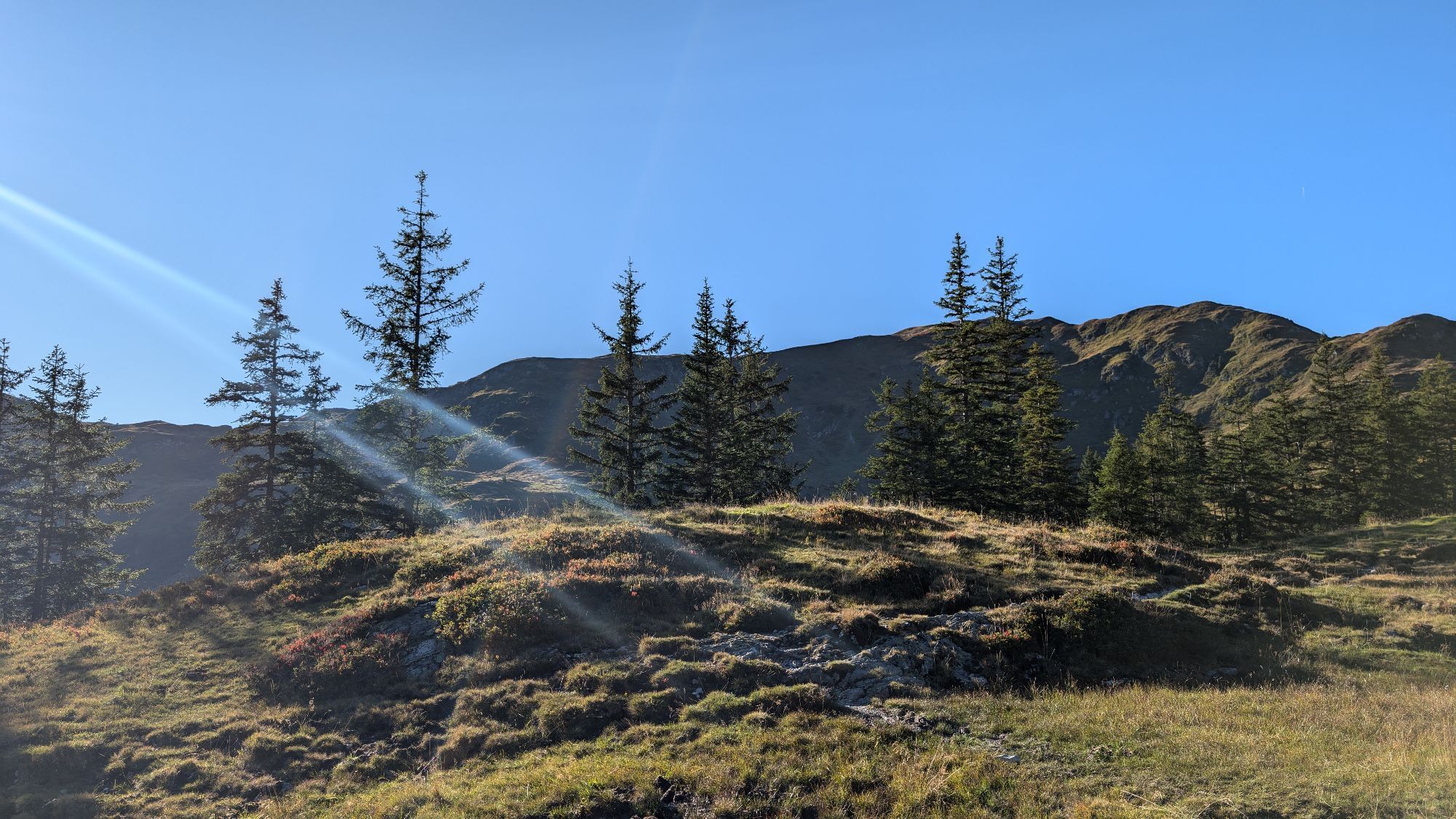
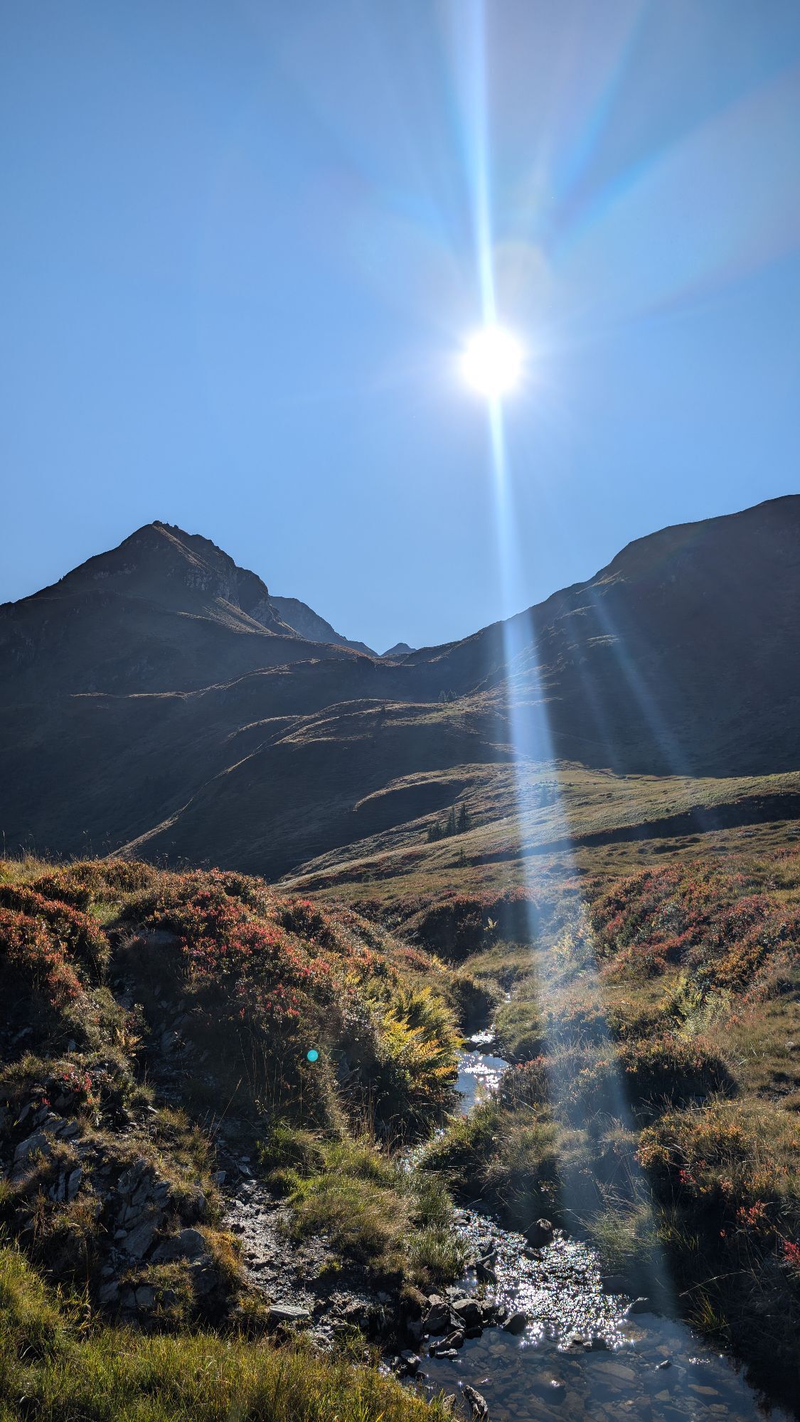
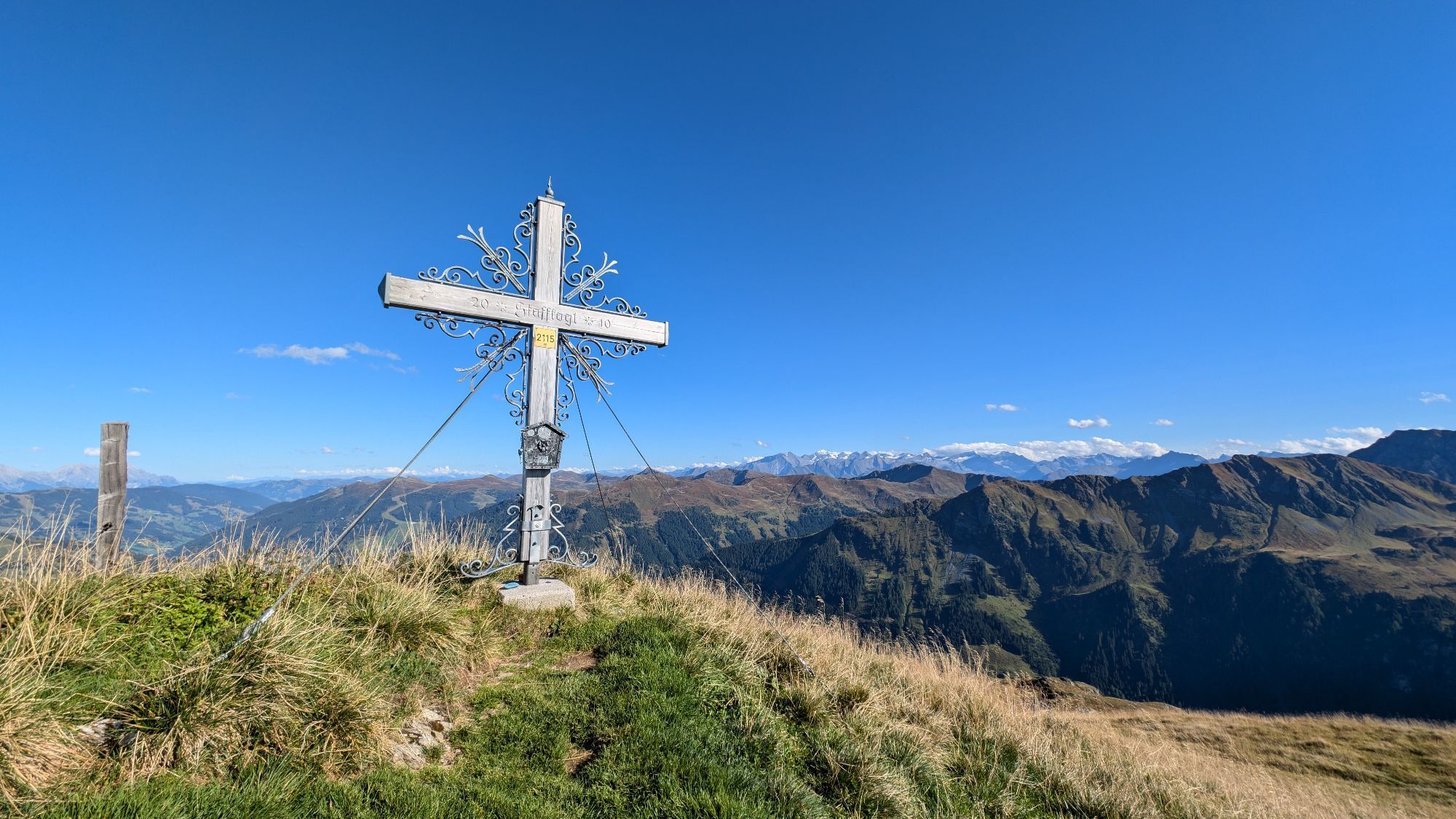
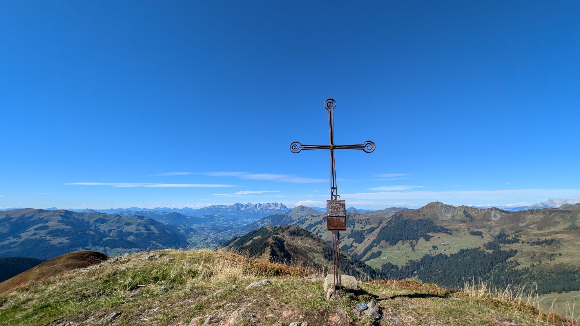
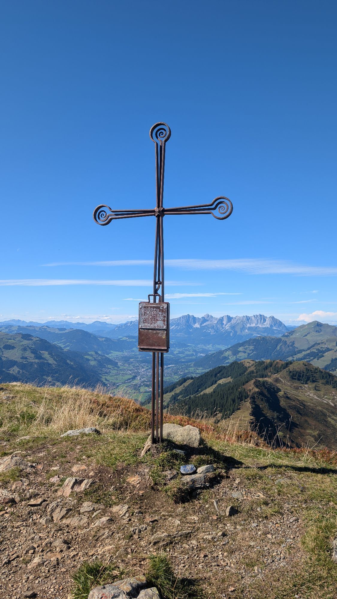
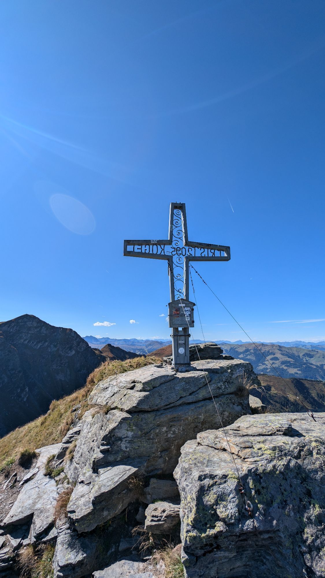
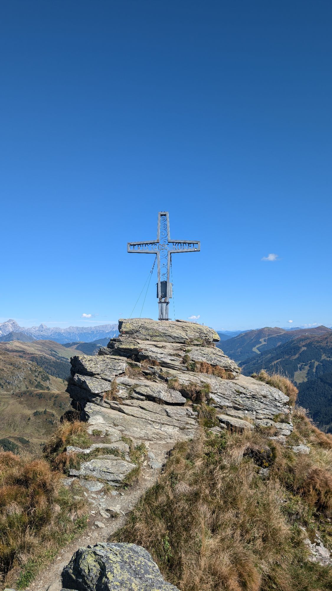
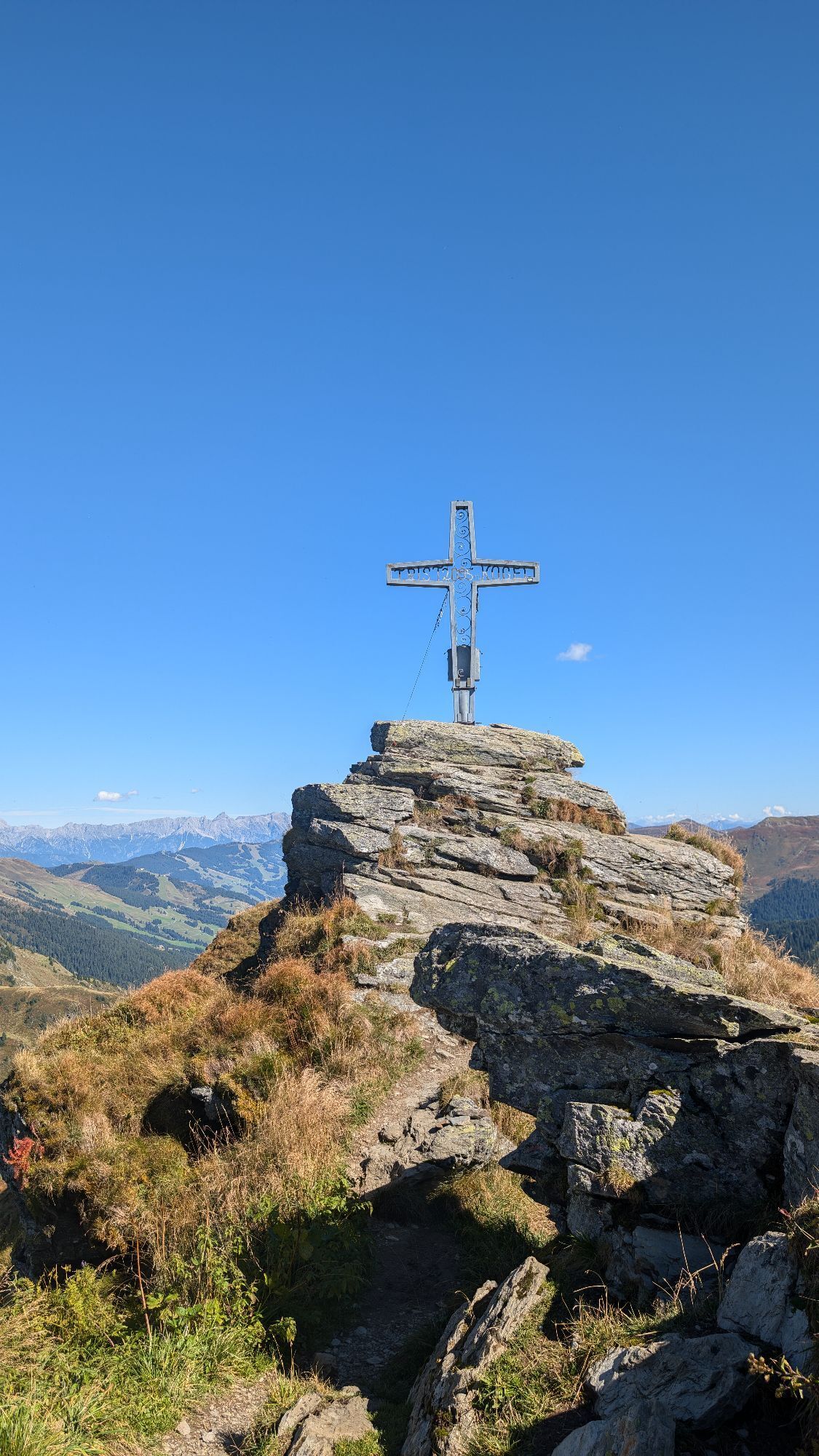
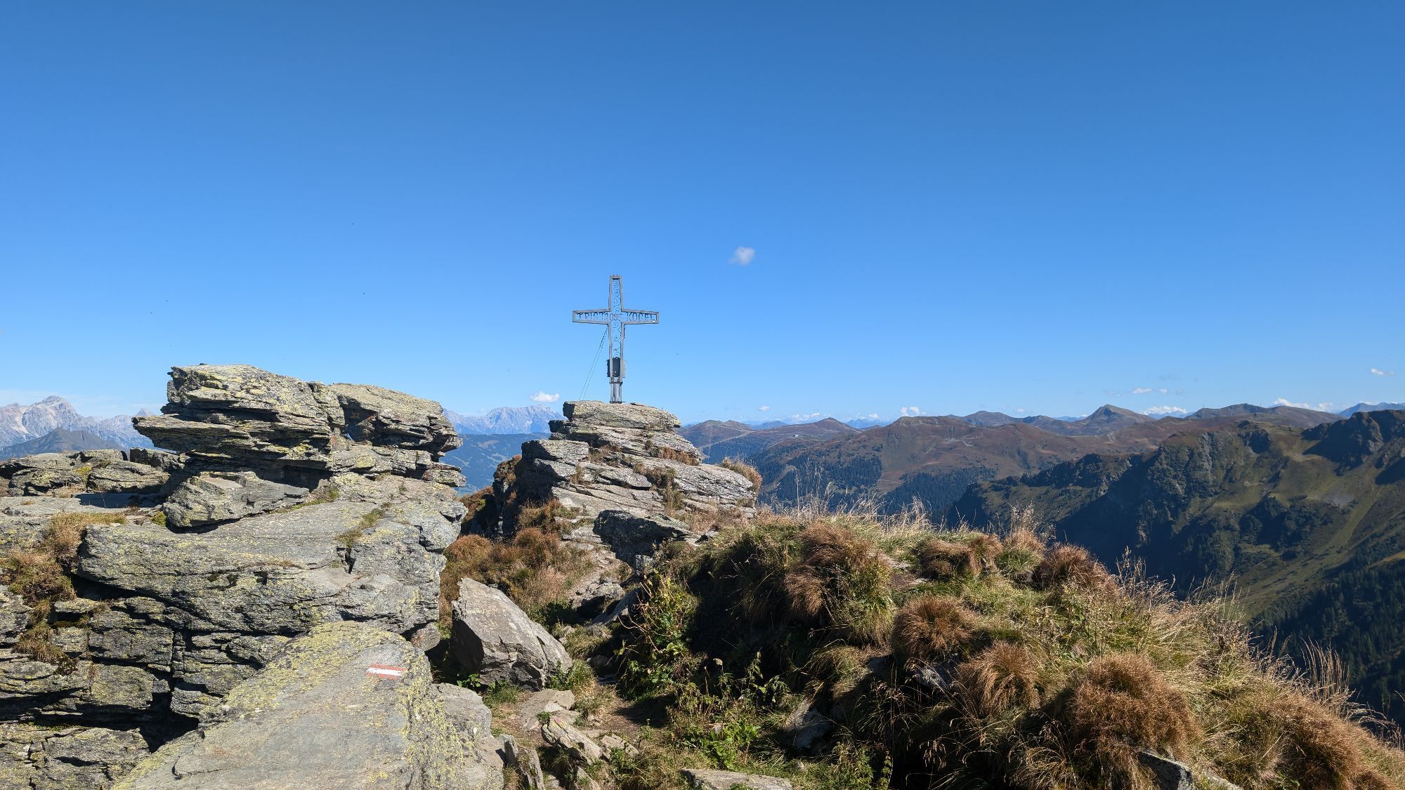
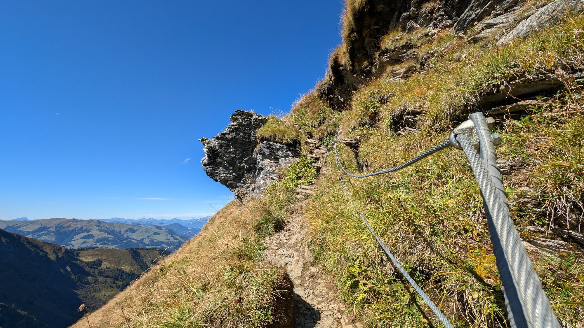
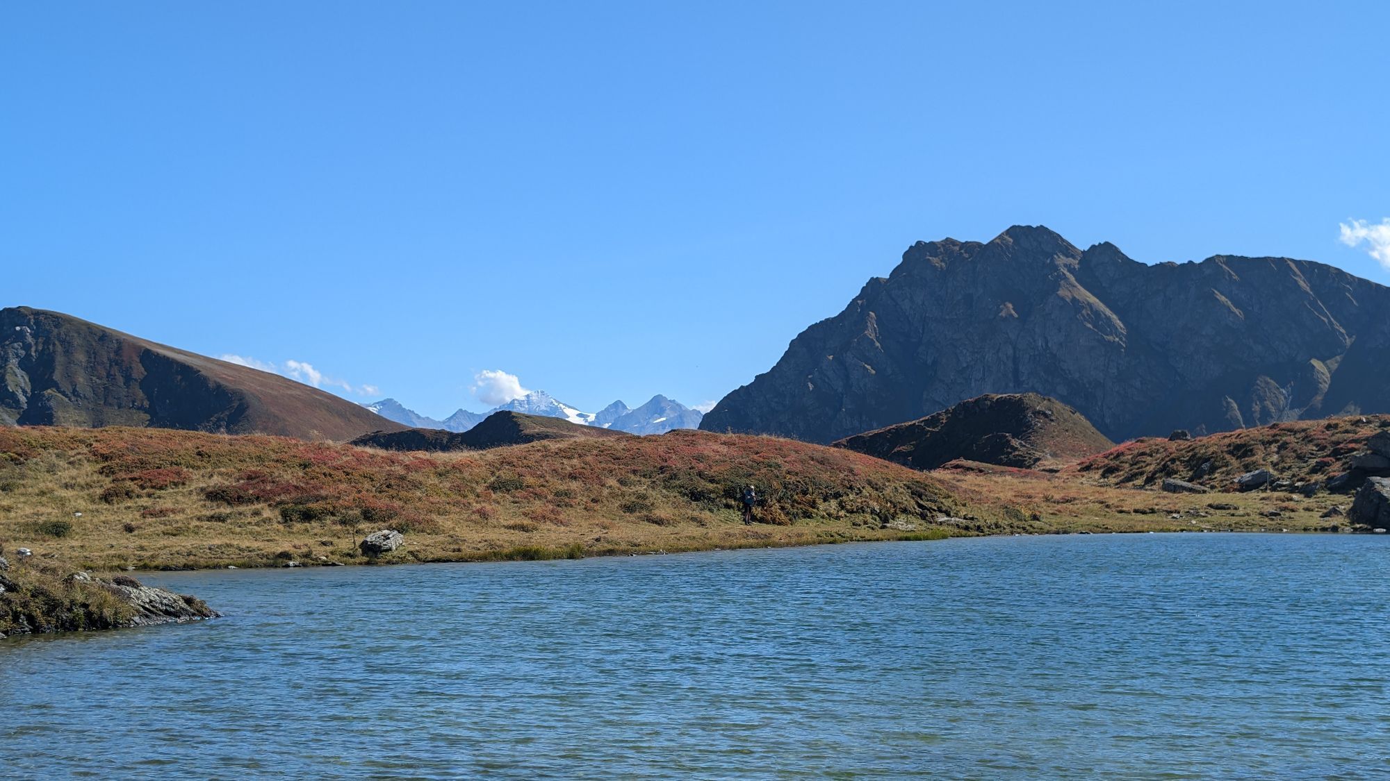
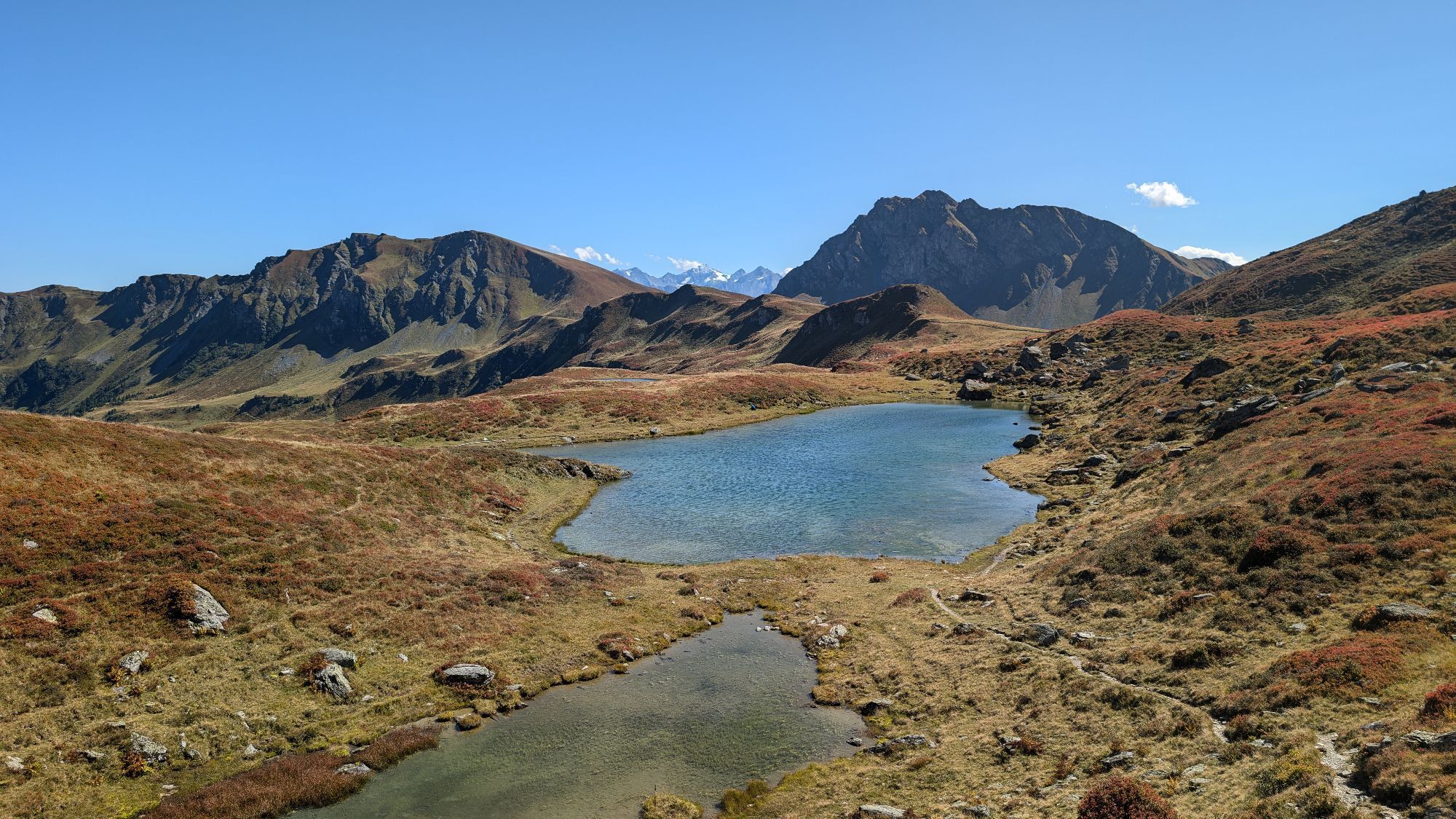
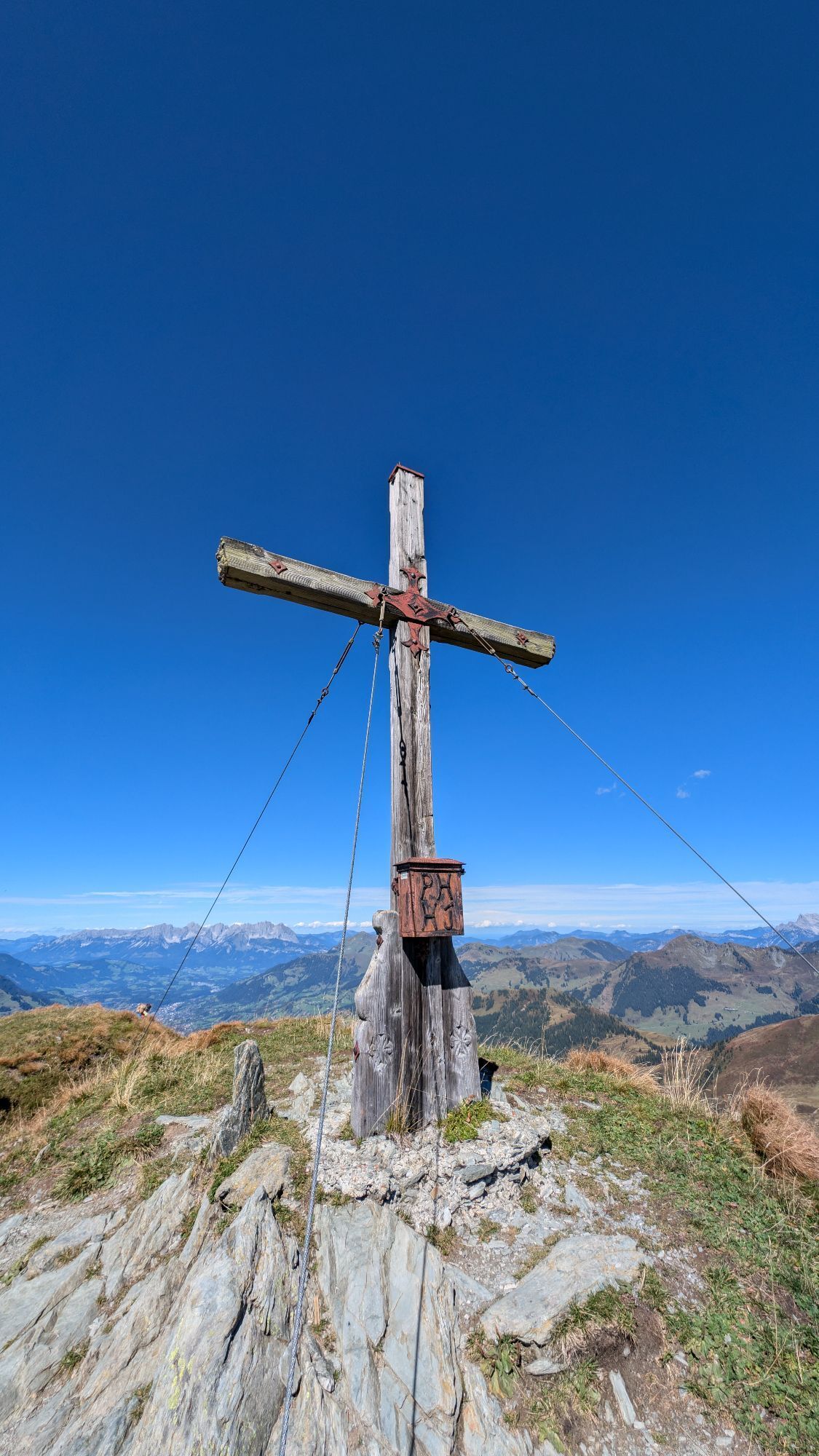
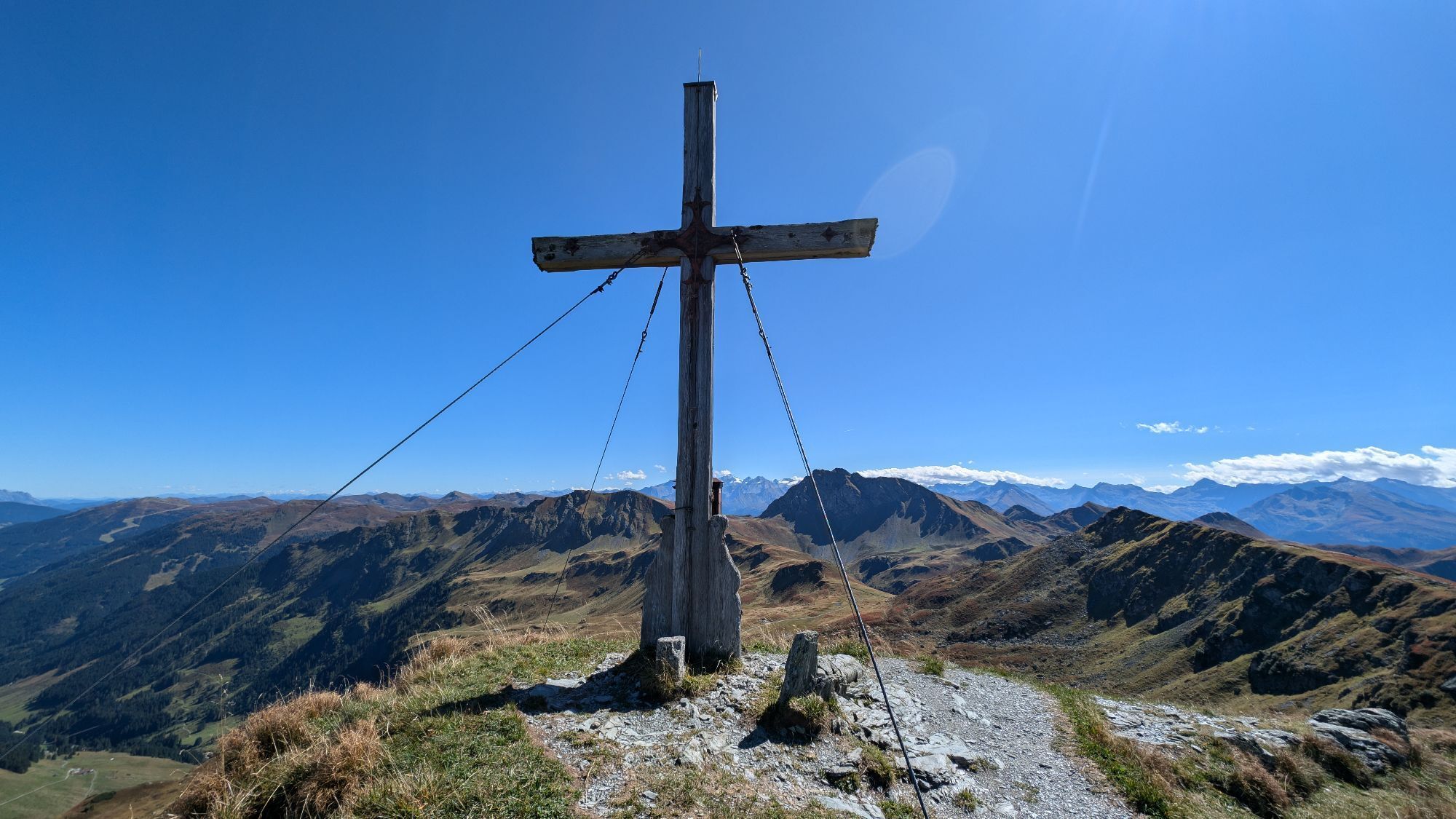
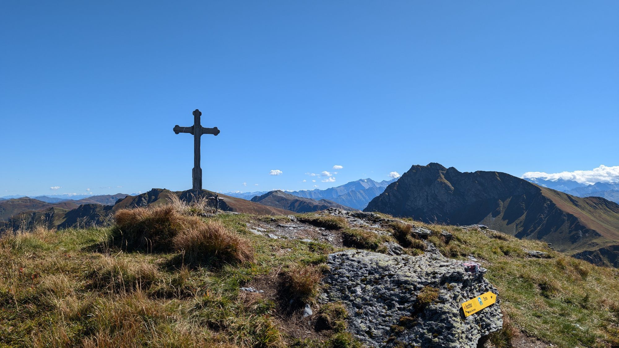
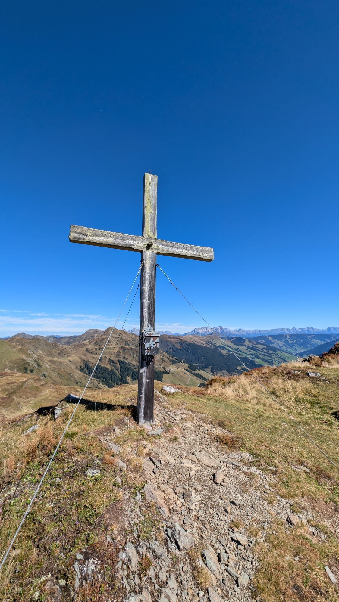
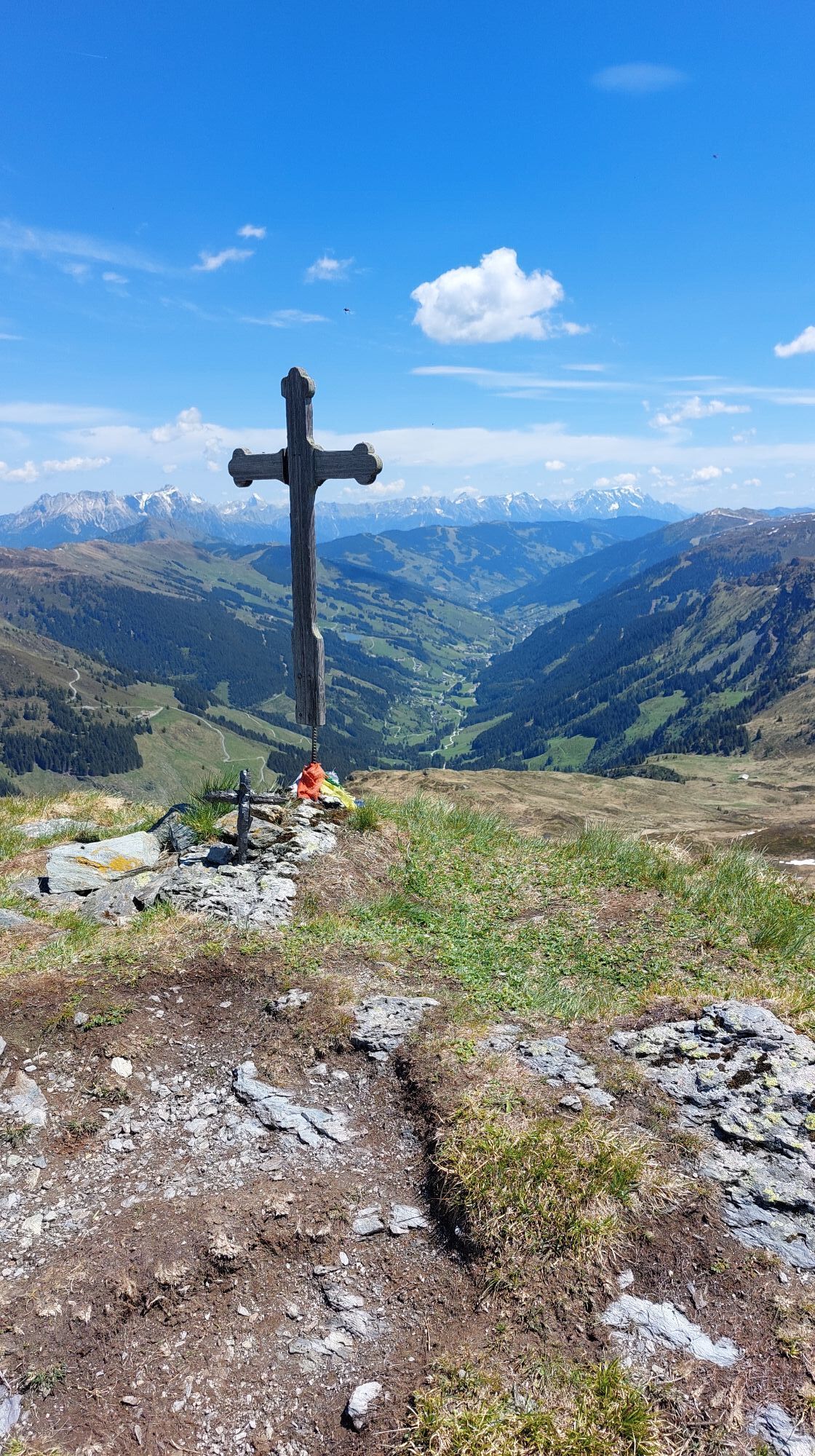
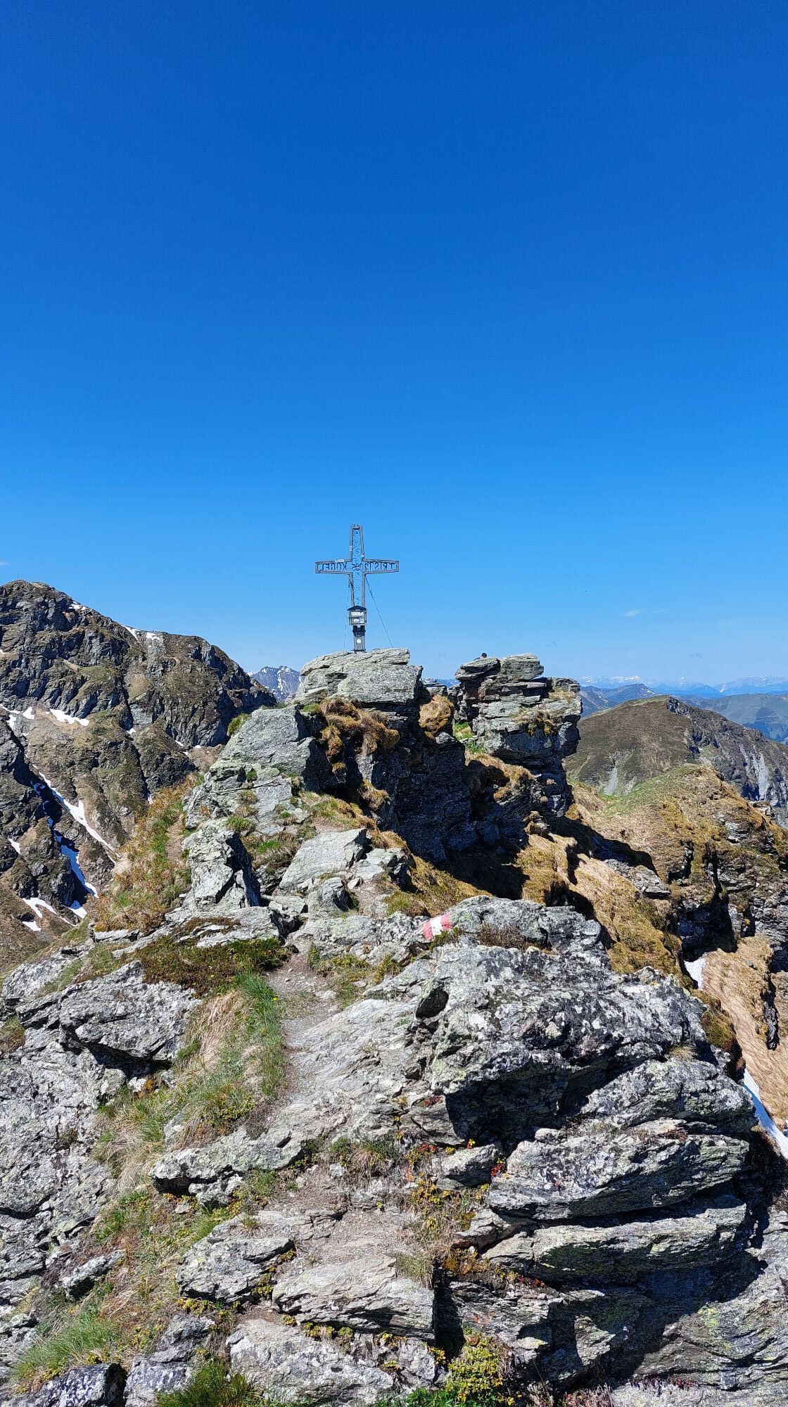
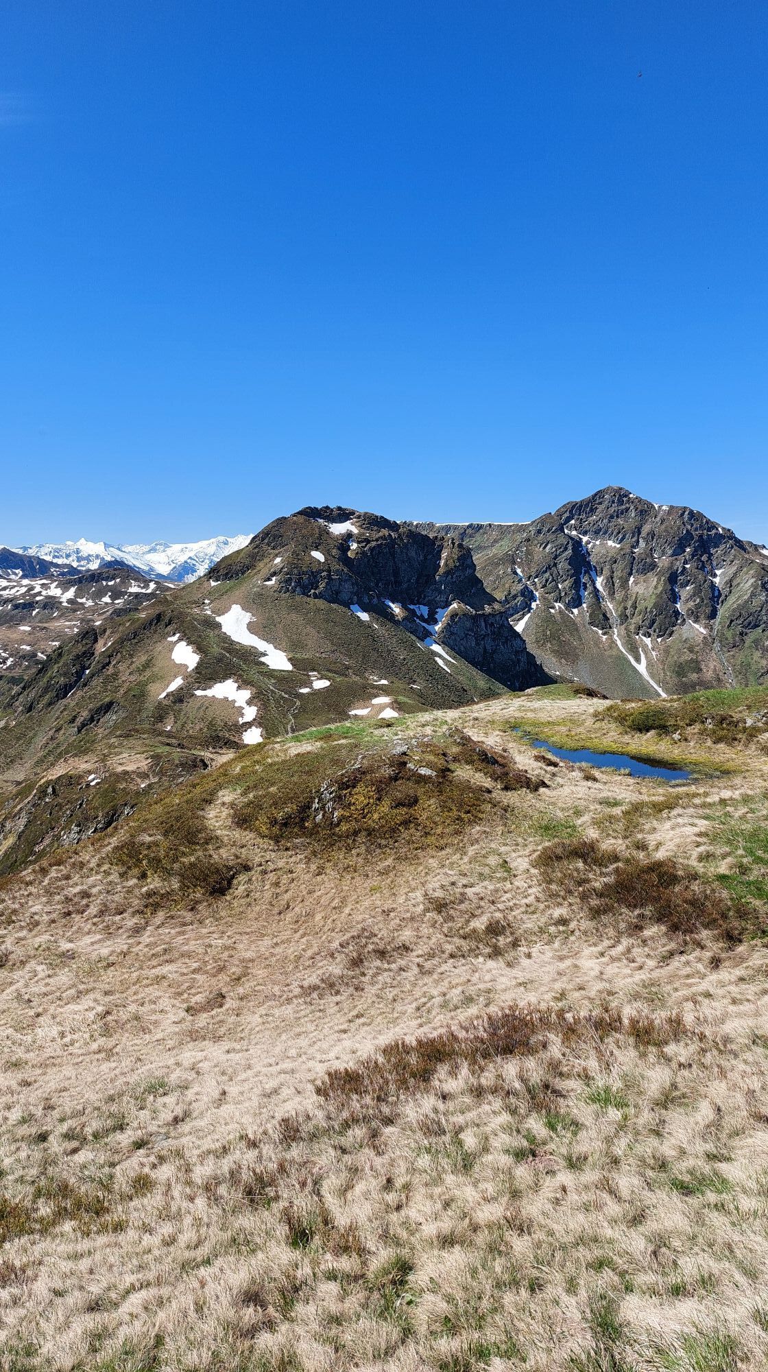
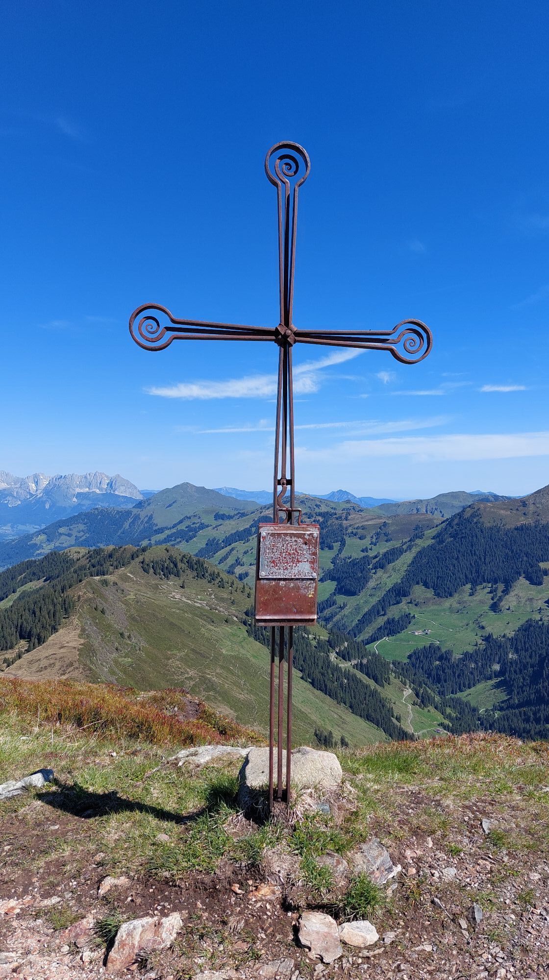
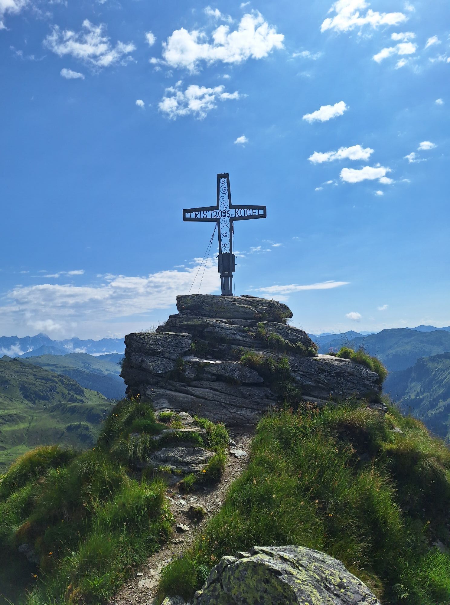
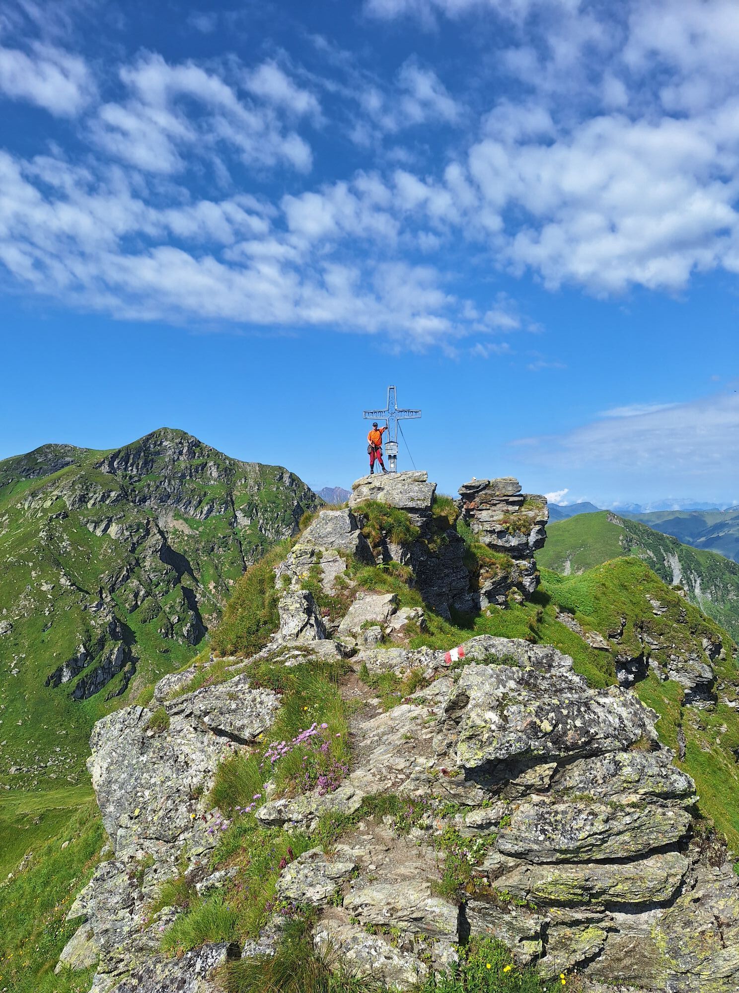
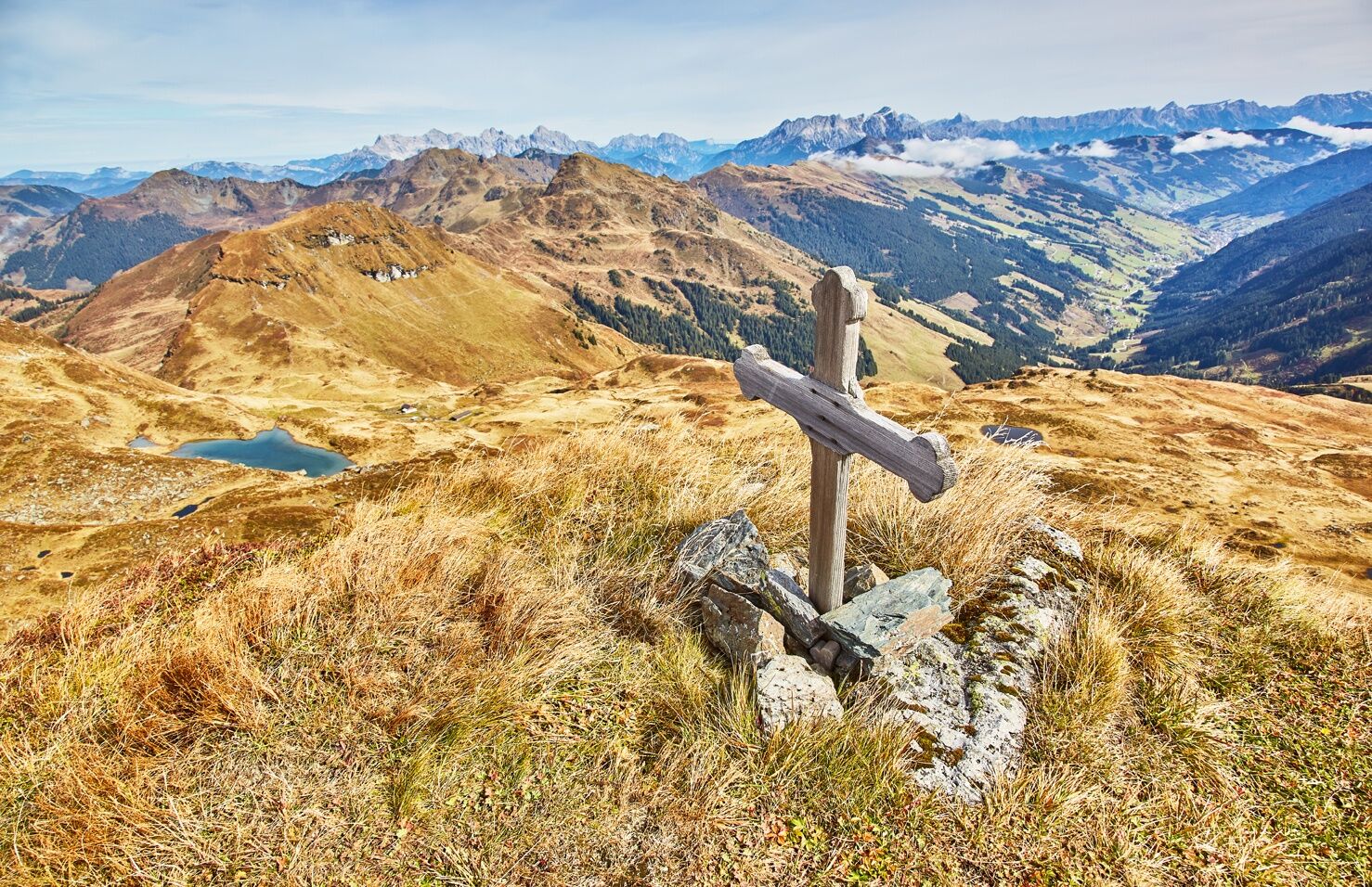
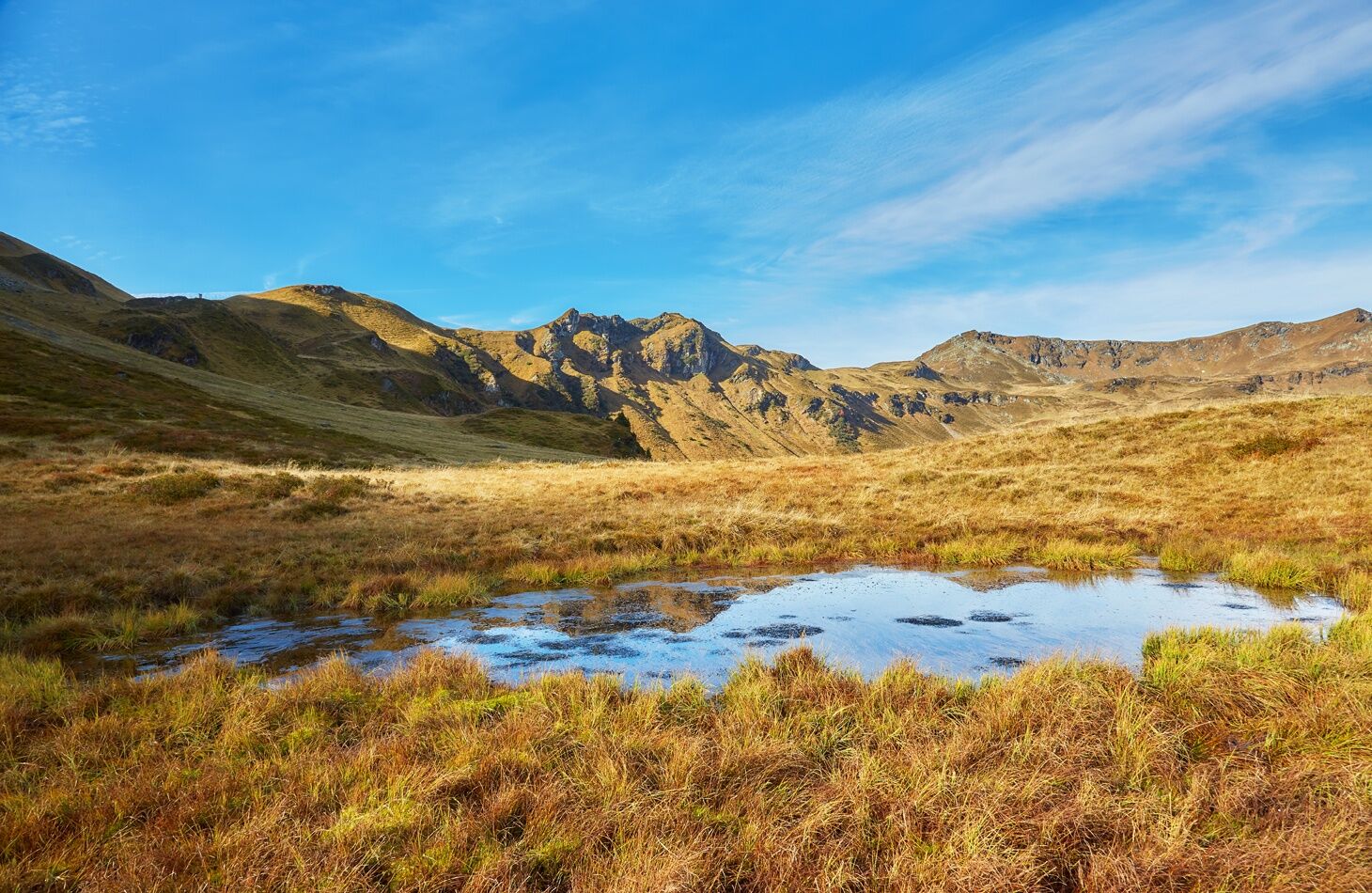
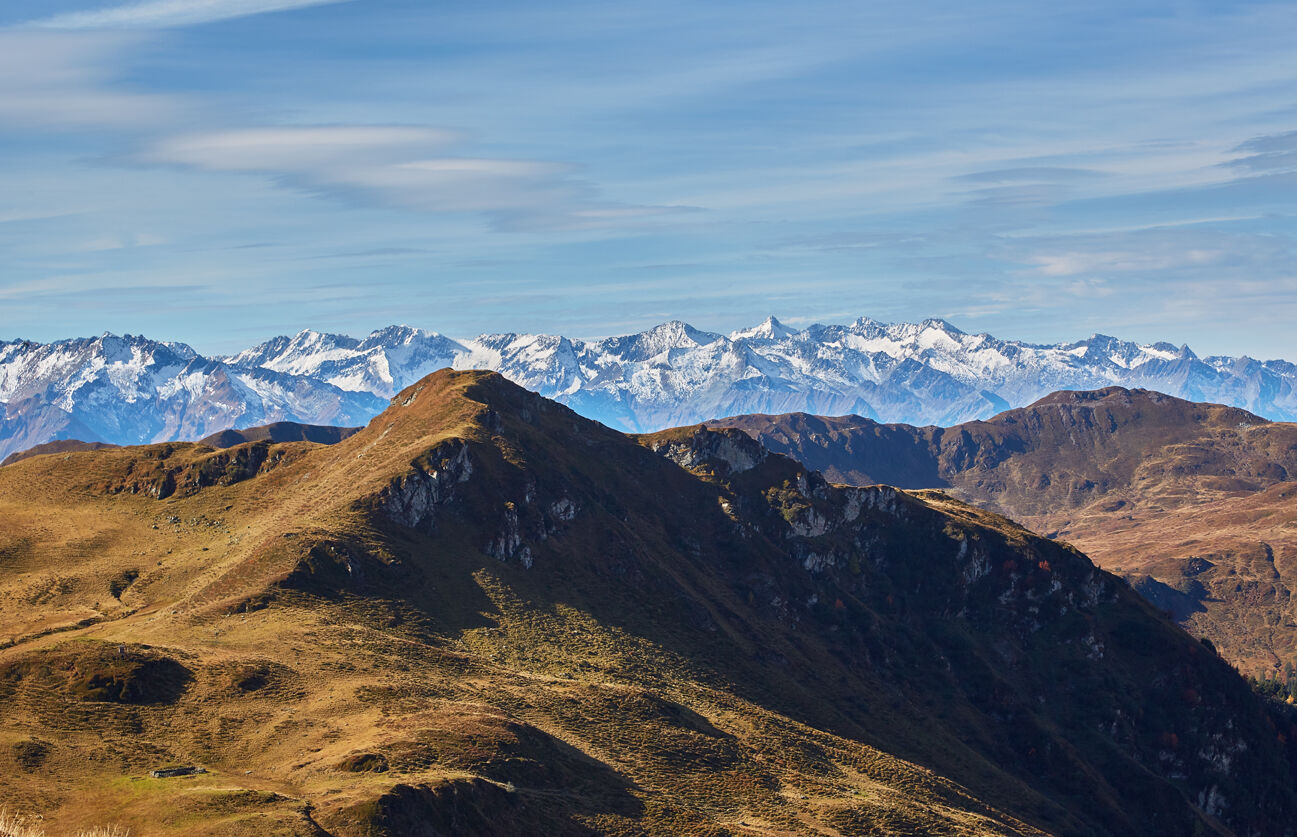
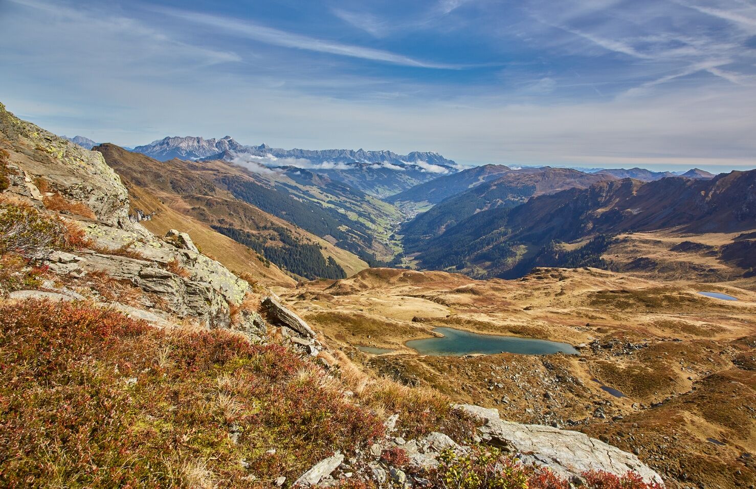
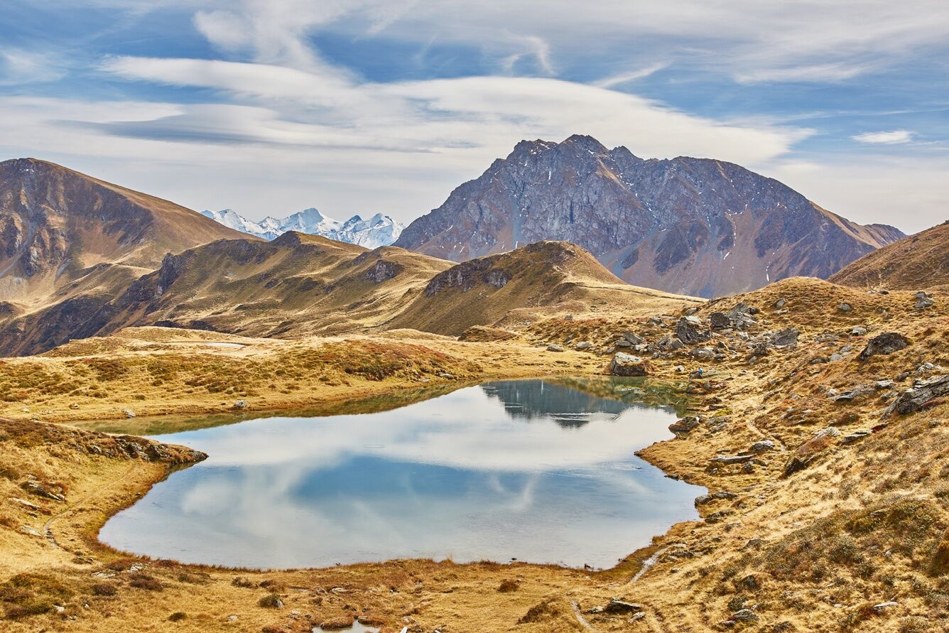
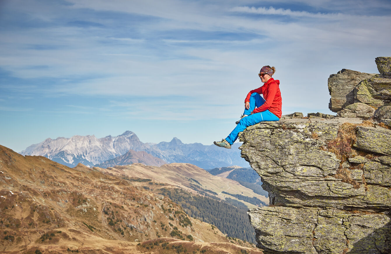
Up to the Gamshag at 2,178 m above sea level, there is hardly any incline to overcome and you can repeatedly see small mountain lakes. To one of these picturesque mountain lakes, the Hochtorsee, you descend about 200 meters after the summit experience on the Gamshag. After another descent to the Toralm, the marked hiking trail leads steeply uphill again to the 2,095 m high Tristkogel. Surefootedness and a head for heights are required. The descent from this rocky summit leads steeply down into the Saaljoch. In return, the next summit – the Saalkogel – allows relaxed hiking again. The last summit on the route is the Staffkogel. After about 8 hours, you will reach the valley floor again.

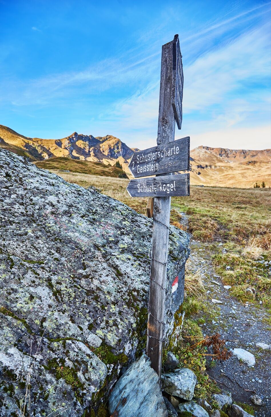

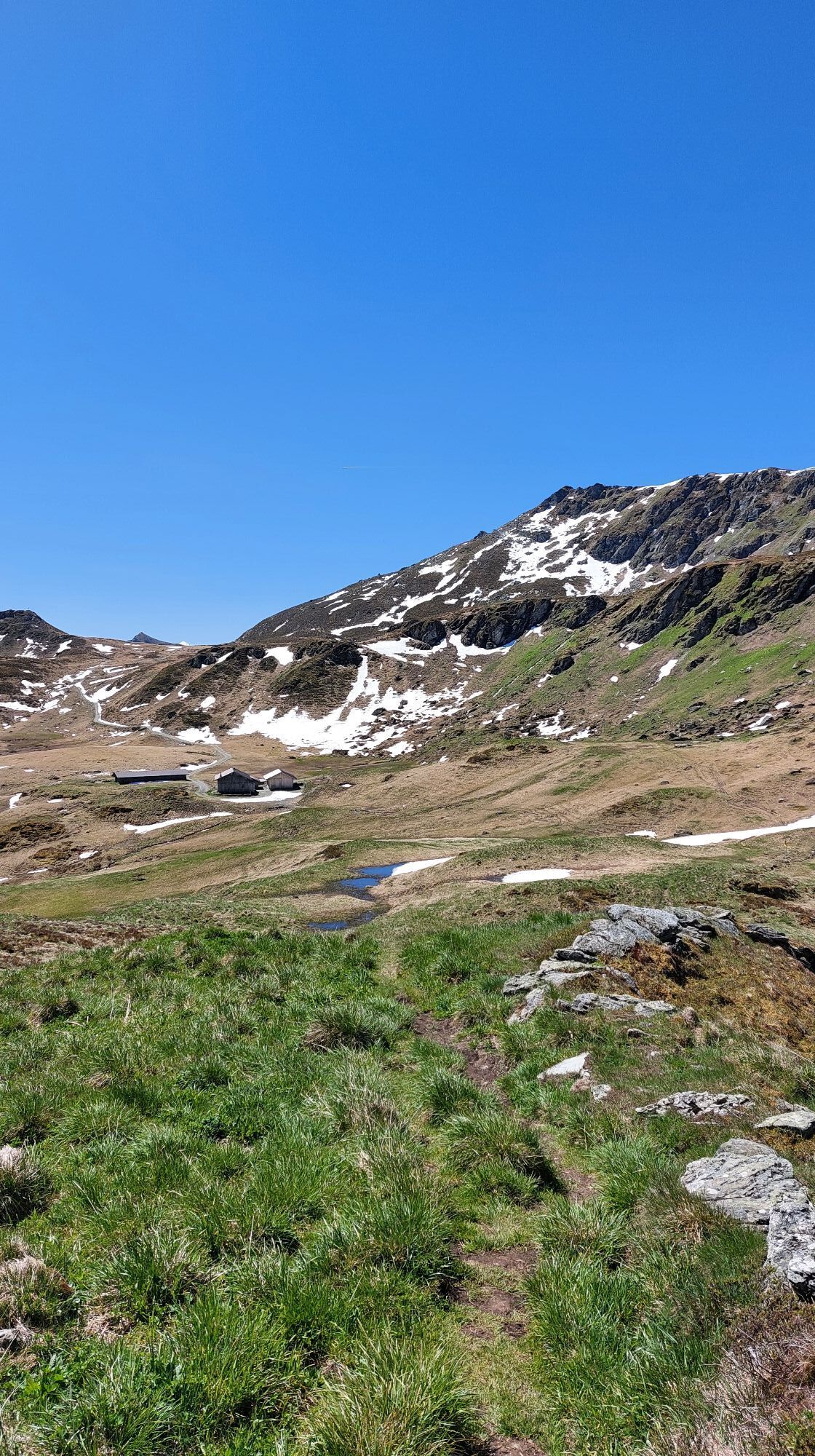
From the starting point, 30 min to Lindlingalm, about 200 m later turn right and follow the signage along the relatively steep mountain path to the Schusterscharte.
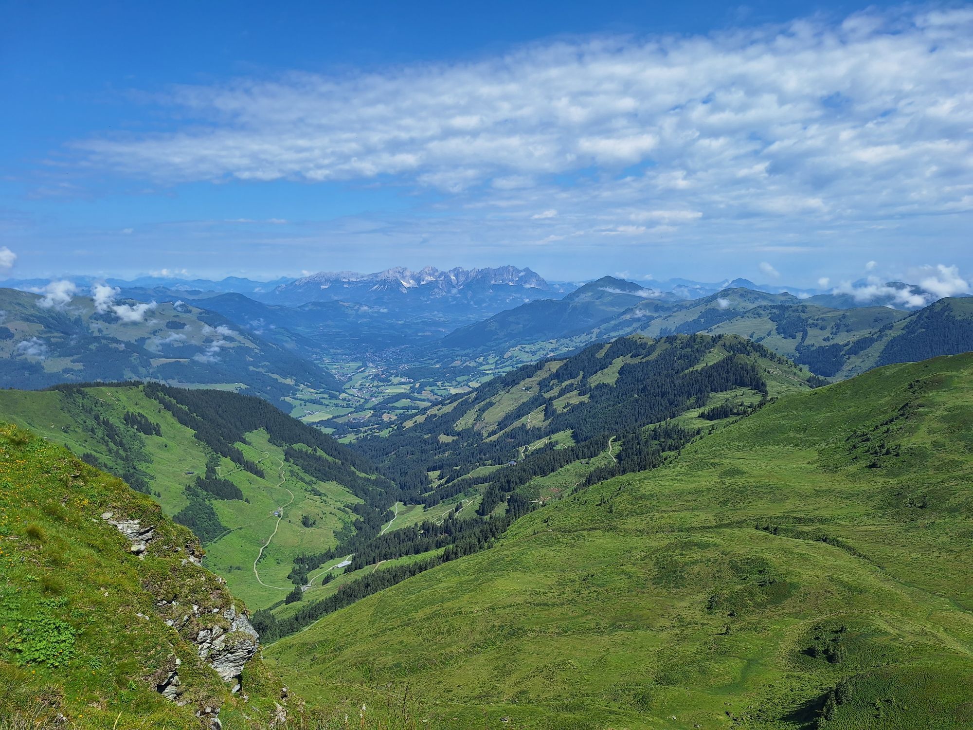
Here, below the ridge to the Mittagskogel, now slightly downhill to the fork at the so-called Tor, then ascending in switchbacks to the Teufelssprung.
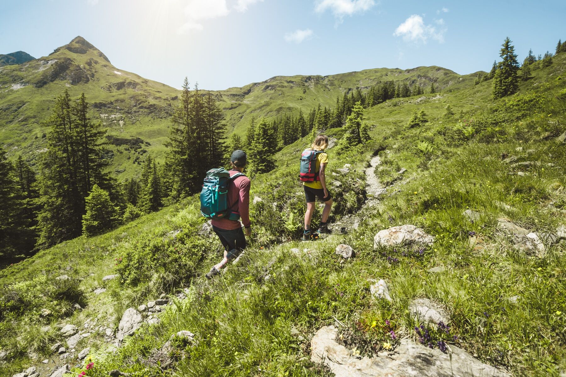
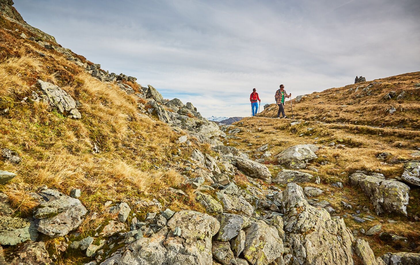
Then follows perhaps the most beautiful section of the hike, the ridge path to Gamshag.
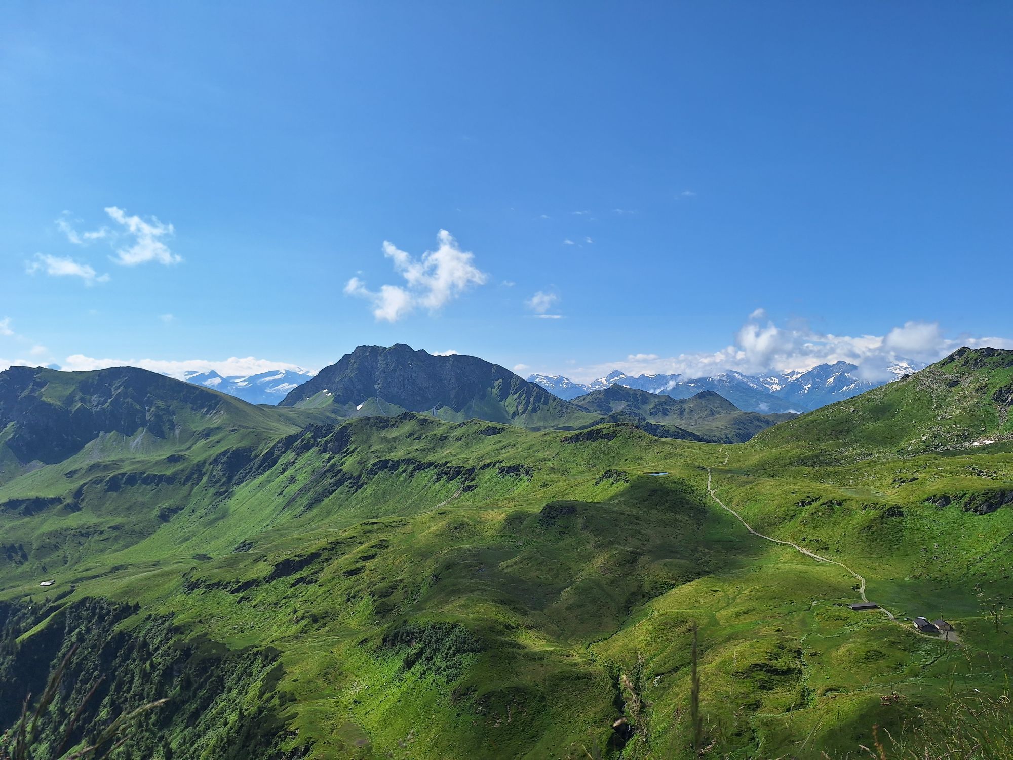
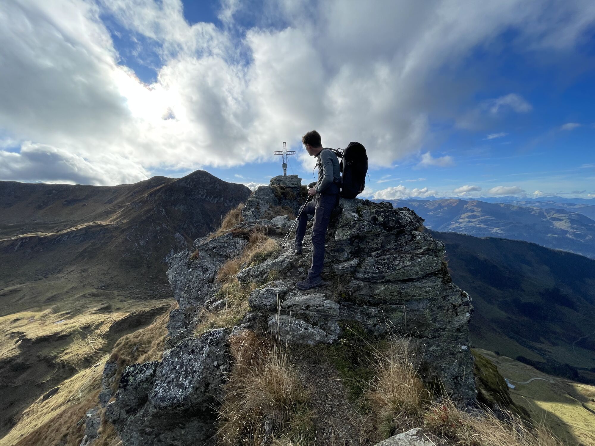
Now down to the already visible Hochtorsee and further to the Toralm and the Tristkogel.
After crossing the Tristkogel, you reach the Saaljoch and after about 30 min of ascent the Saalkogel.
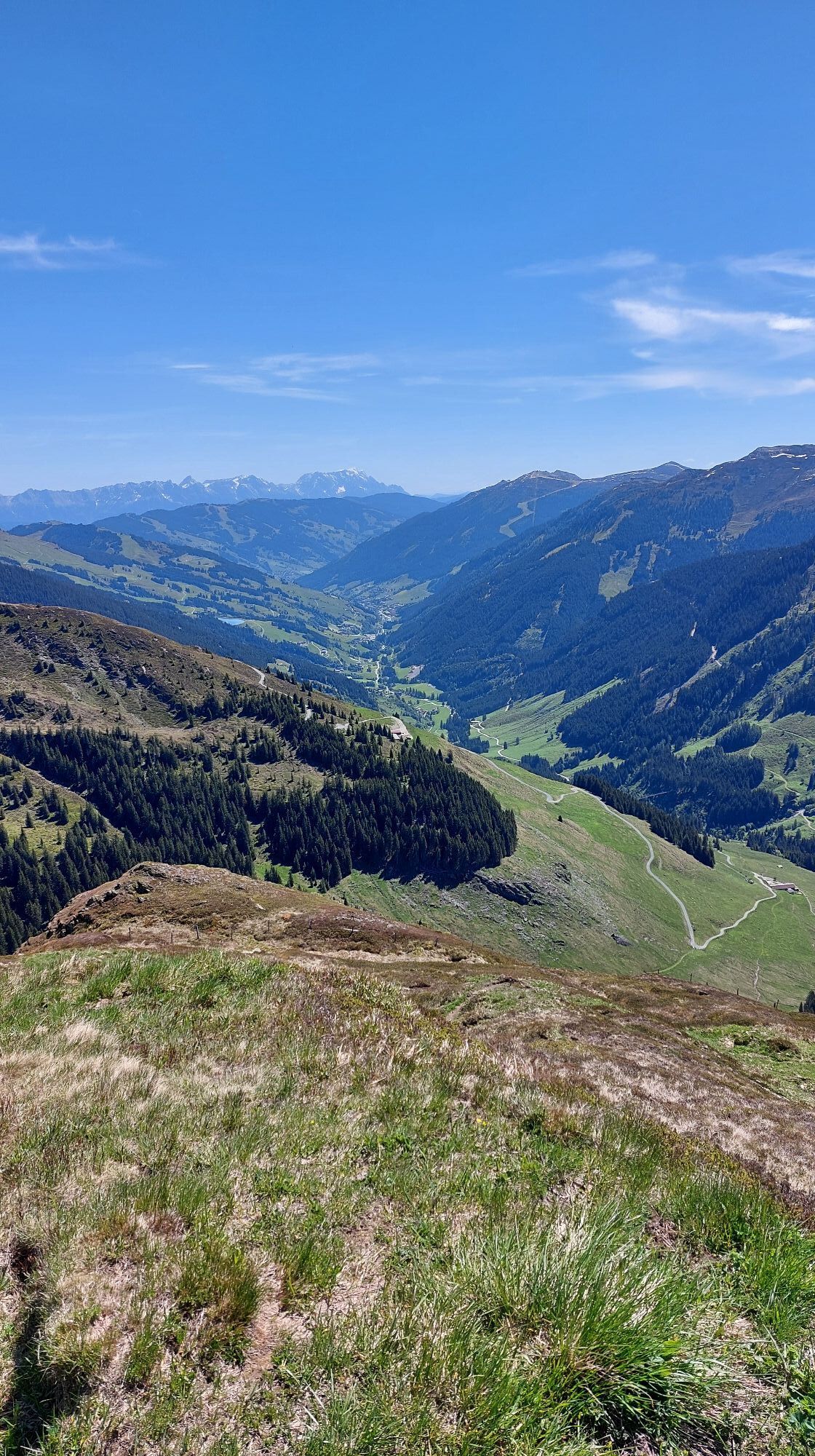
Finally, the path leads over the Oberreiterjoch to the summit of Staffkogel.
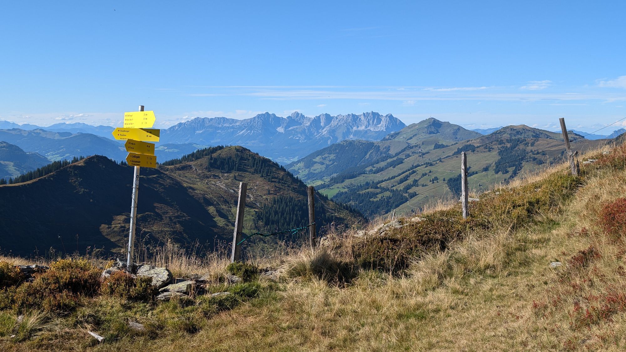
For the descent to Ossmann - and Lindlingalm and further to Lengau, you should allow about 2 1/2 hours more.
Tak
Mountain or hiking shoes, rainwear, and provisions for the whole day as the Toralm is not always open.
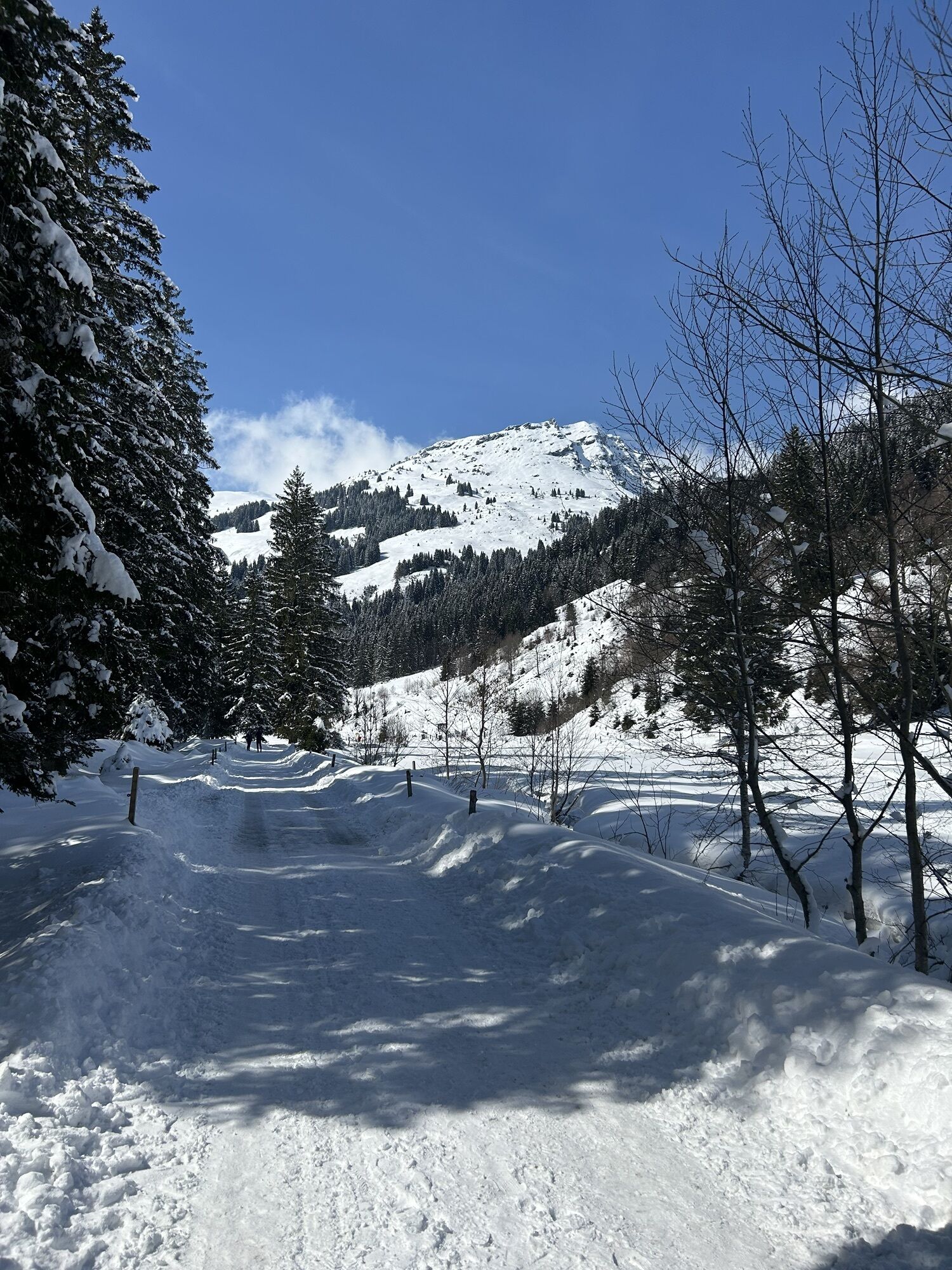
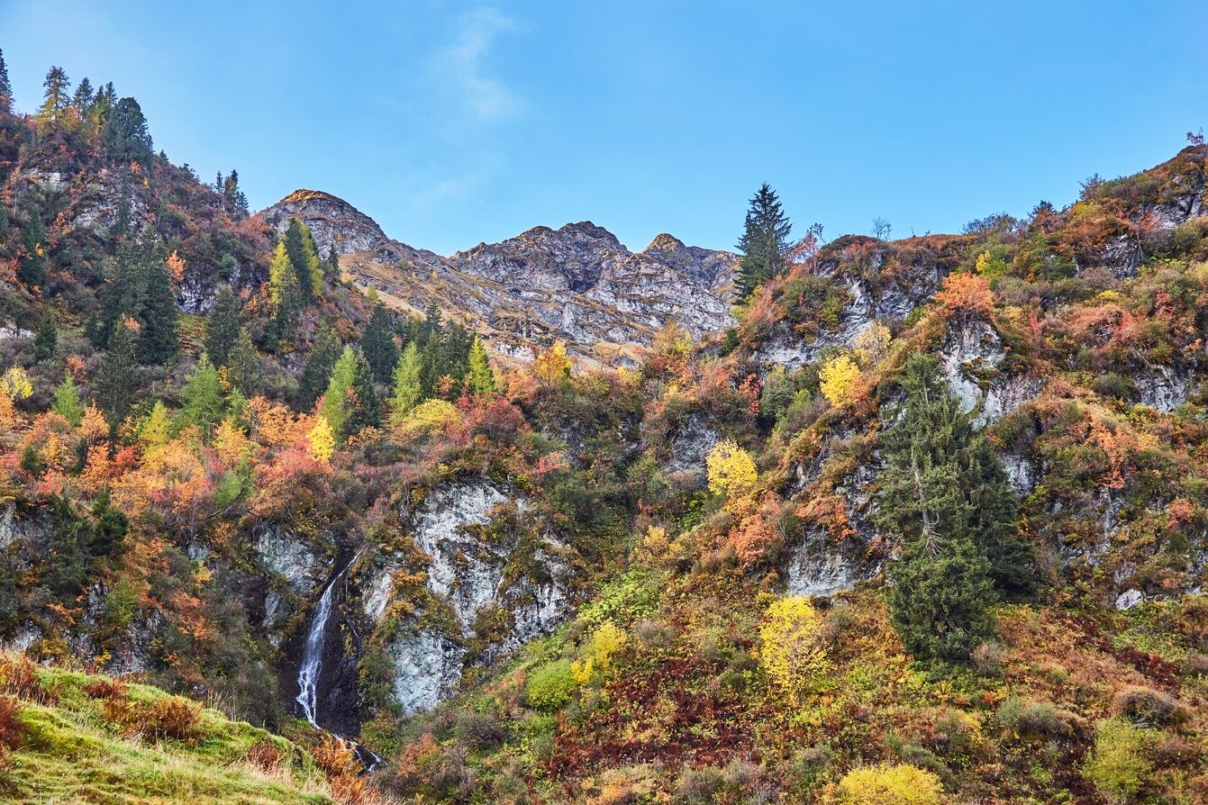
In June, avalanche remnants can still be present on the ascent over the Birgl.
CAUTION: risk of slipping
Large free parking lot in Lengau
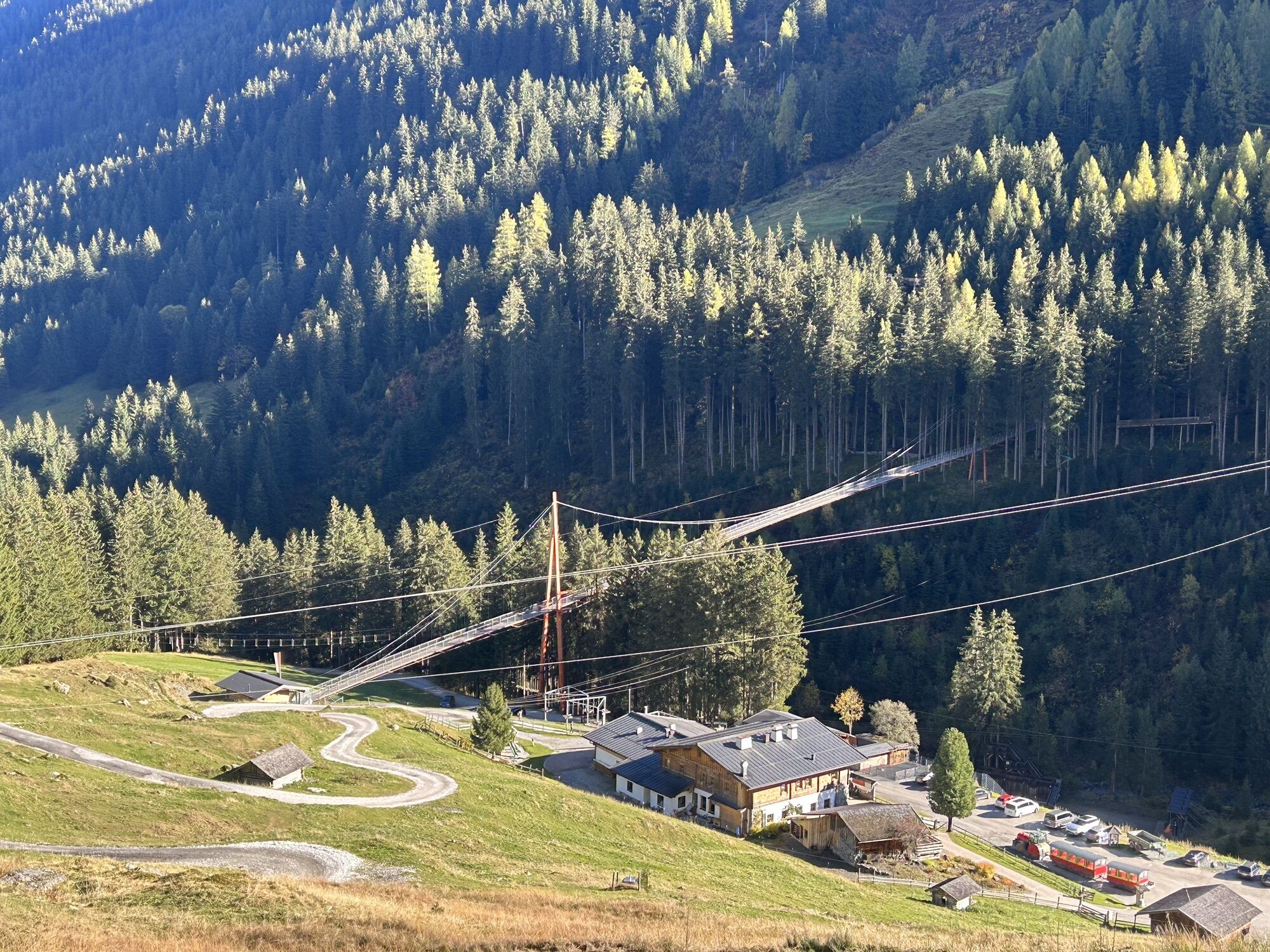
For those with less stamina, the valley end around Lindling – Saal – and Ossmannalm offers enough program for the whole day.
Popularne wycieczki w okolicy
- 4,9
Streif Wanderweg
średniWędrówka 5,73 km - 5,0
Panorama route 3 peaks and 2 lakes
średniWędrówka 7,35 km - 4,7
Tristkogel
ciężkiWędrówka 15,6 km - 4,5
Kitzbüheler Horn über Horn-Gipfel-Höhenweg
średniTrasa tematyczna 5,30 km - 4,6
Kitz Bhf- Kitzbühler Horn und zurück zum Alpenhaus
średniWędrówka 11,8 km - 4,9
Manlitzkogel
ciężkiWędrówka 13,4 km - 3,8
Hollersbach: Pihapper Wegnr. 935
ciężkiWędrówka 12,8 km - 4,0
Mittersill: ski tour Sonnalm
średniWycieczka narciarska 4,87 km - 4,2
Spielbergalmen
średniWędrówka 10 km - 4,9
Schwarzsee Panorama Rundweg
światłoWędrówka 7,25 km
Wędrówki i tropienie


Nie przegap ofert i inspiracji na następne wakacje
Twój adres e-mail została dodana do listy mailingowej.