


KBA Border Patrol Trailrun
Zdjęcia naszych użytkowników
-
 © JordyUtworzono dnia 15.08.2025
 -
 © JordyUtworzono dnia 15.08.2025
 -
 © firebird 93Utworzono dnia 28.09.2023
 -
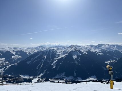
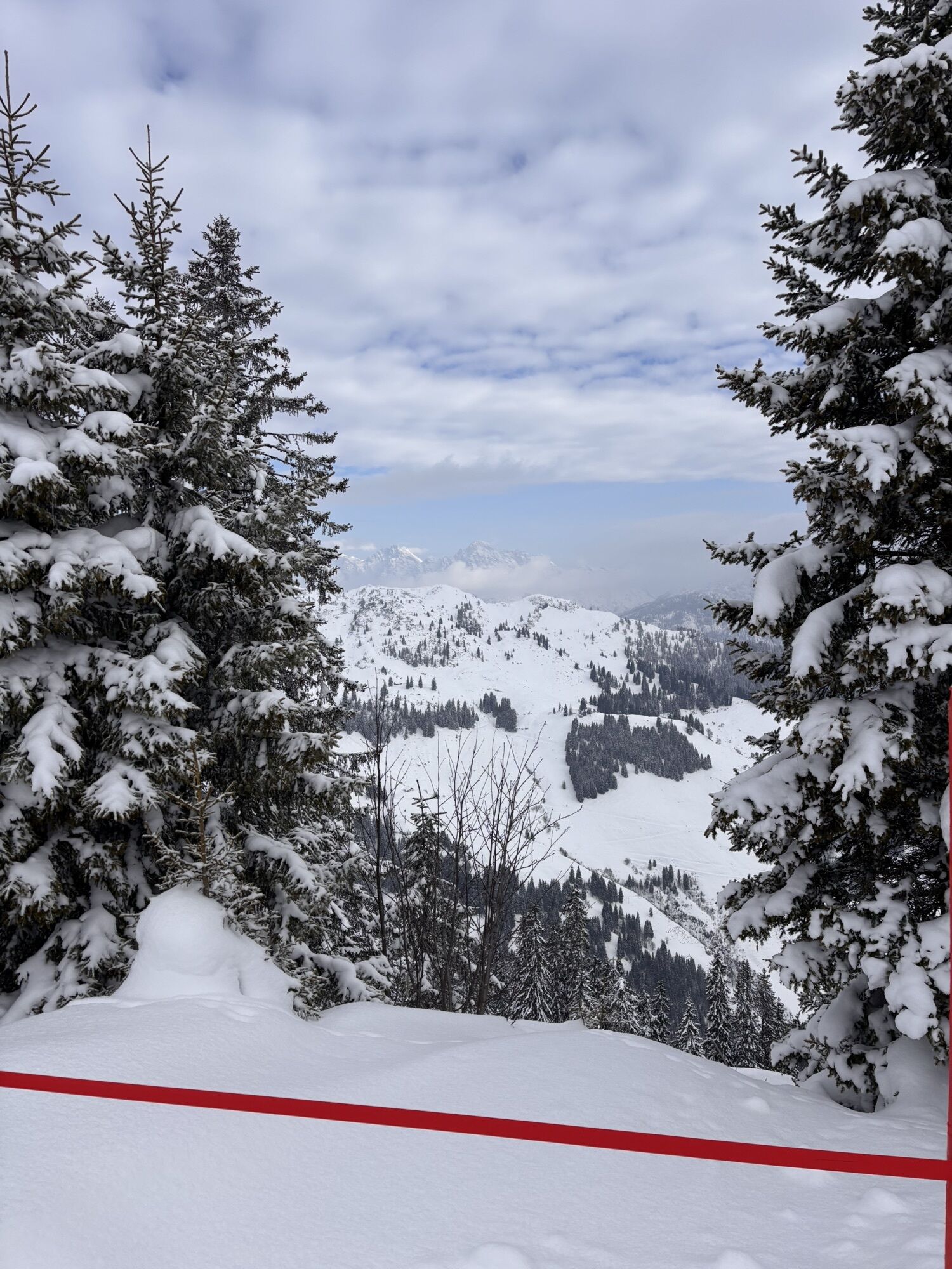
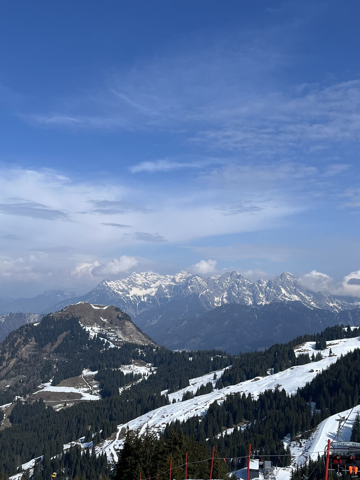
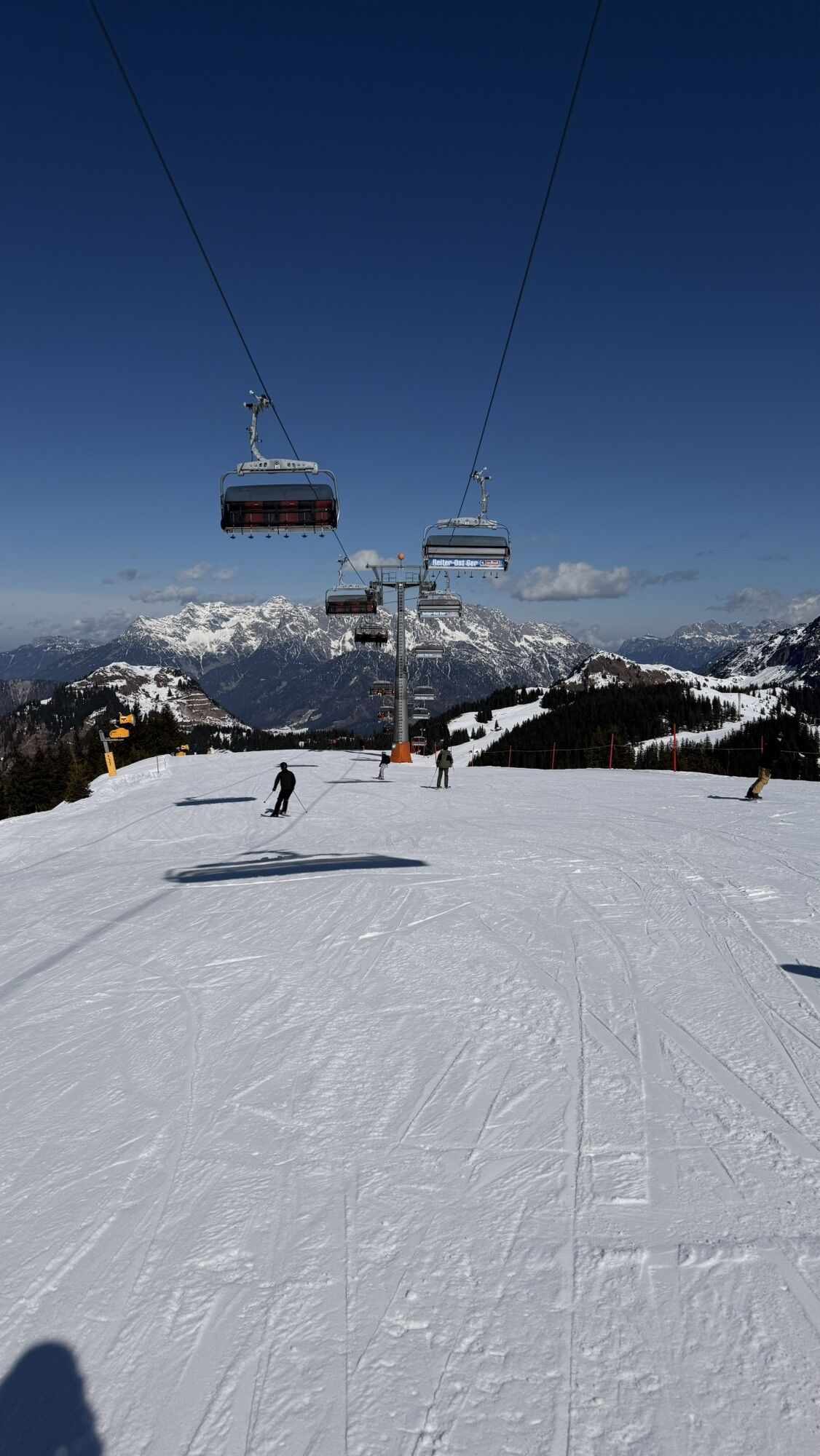
 © Andreas AufschnaiterUtworzono dnia 05.09.2022
 -
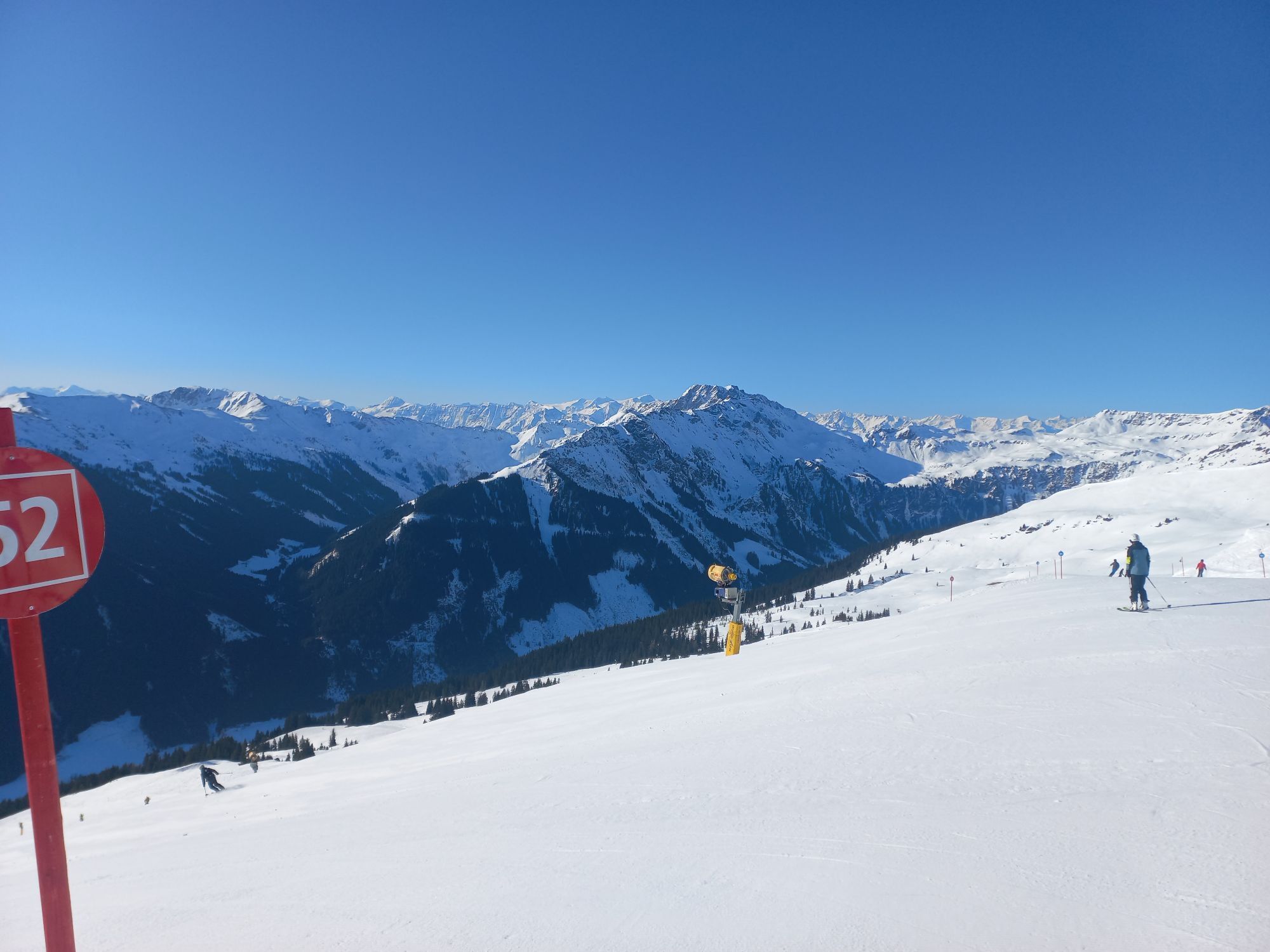
 © Bernd EttingerUtworzono dnia 14.09.2020
 -
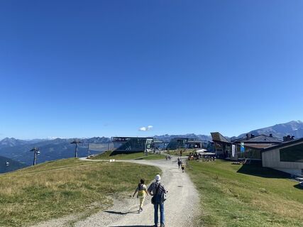
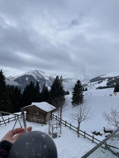
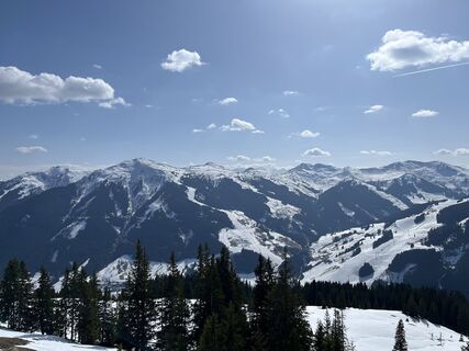
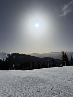
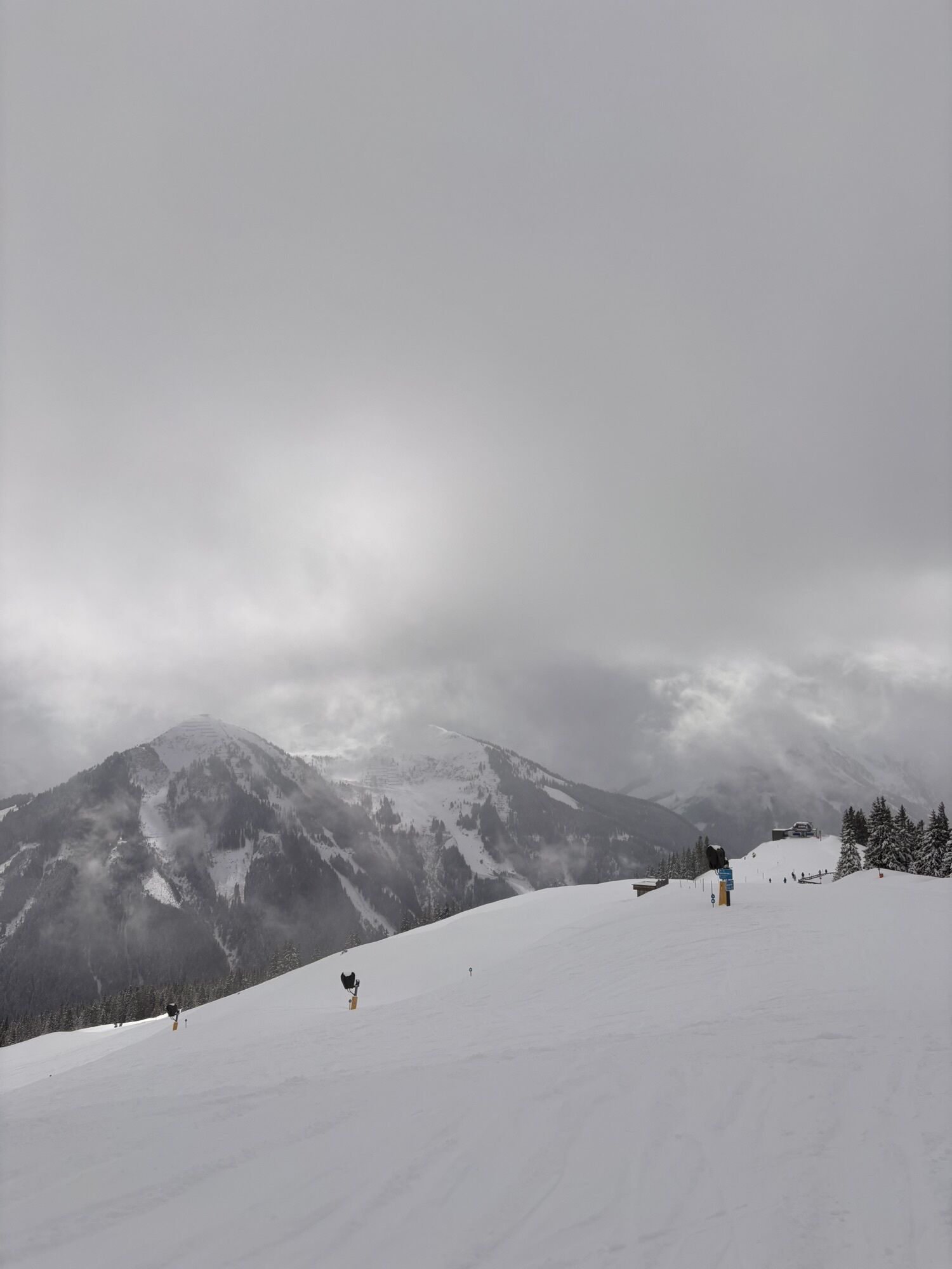
 © Erich Graf 2Utworzono dnia 09.09.2025
 -
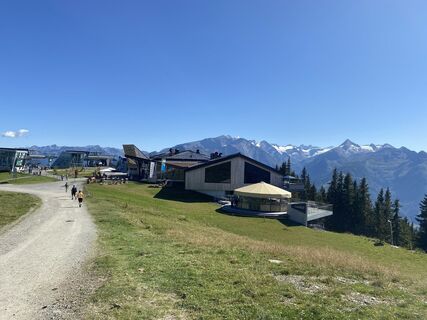
 © Erich Graf 2Utworzono dnia 09.09.2025
 -

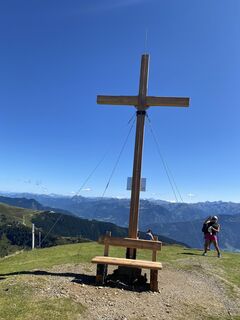
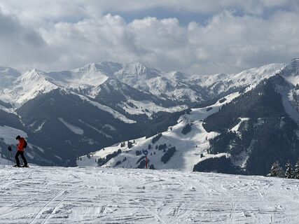
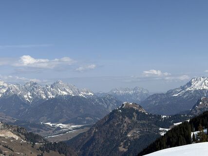
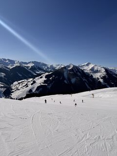
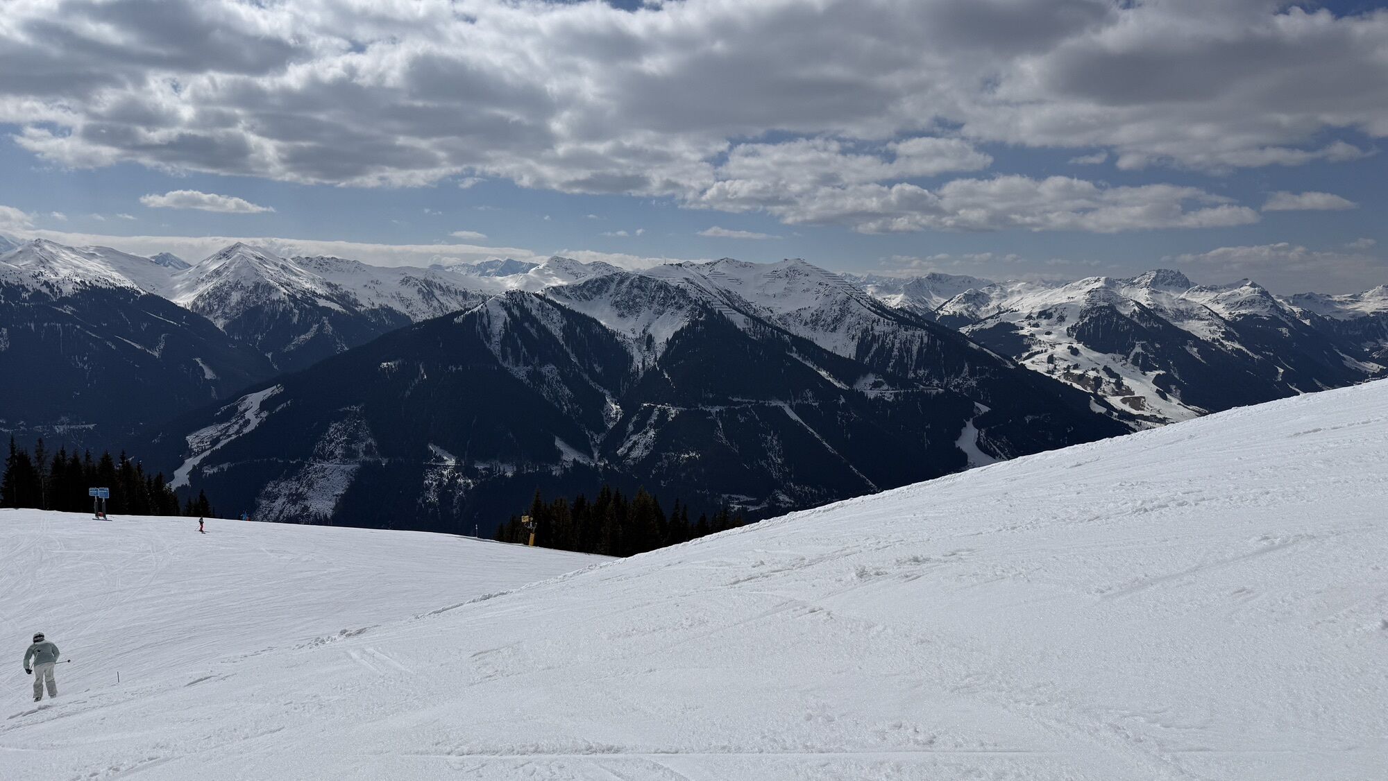
 © Zoran DujakovicUtworzono dnia 02.11.2024
 -
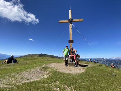
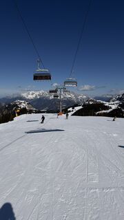
 © Zoran DujakovicUtworzono dnia 02.11.2024
 -
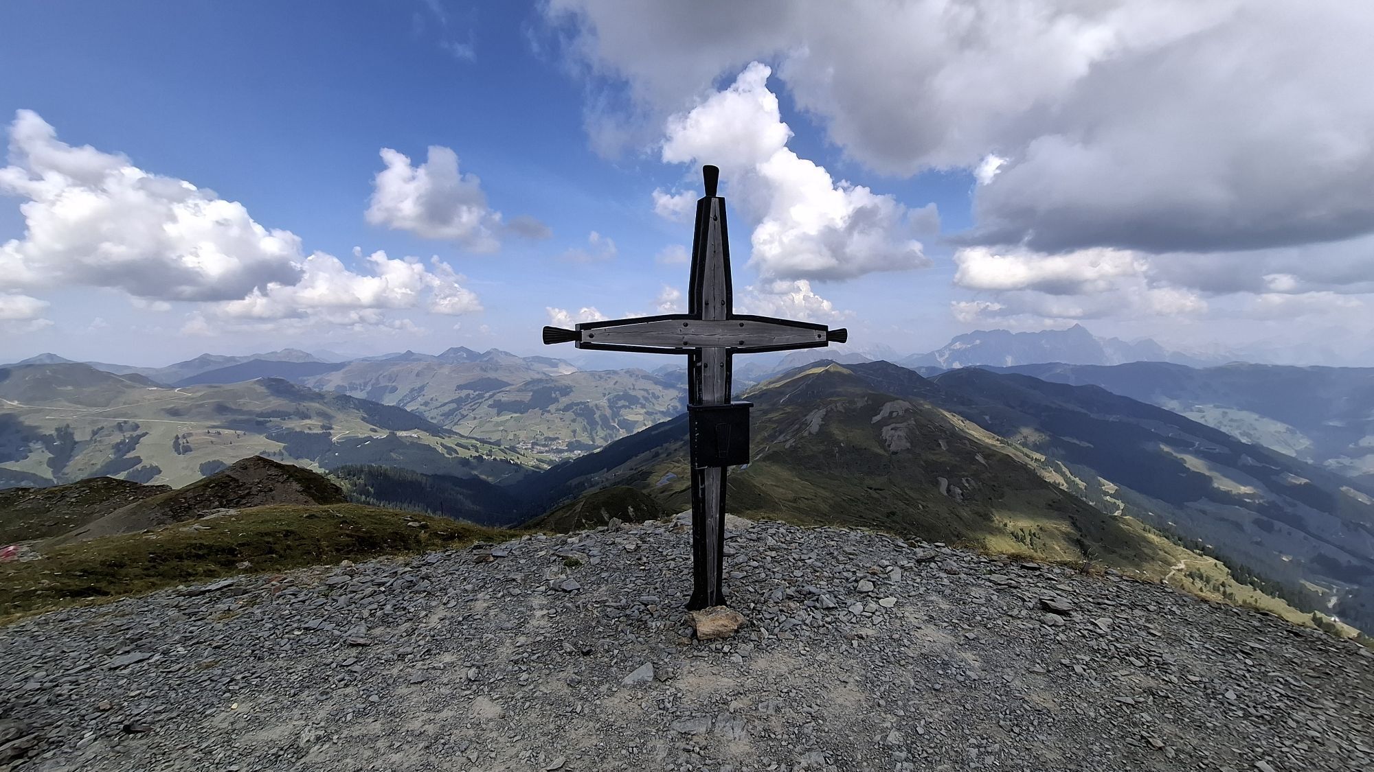
 © Zoran DujakovicUtworzono dnia 02.11.2024
 -
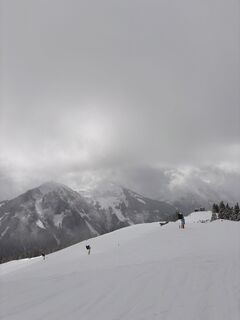
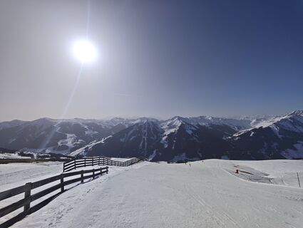
 © Oliver BarzUtworzono dnia 17.08.2024
 -
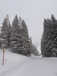
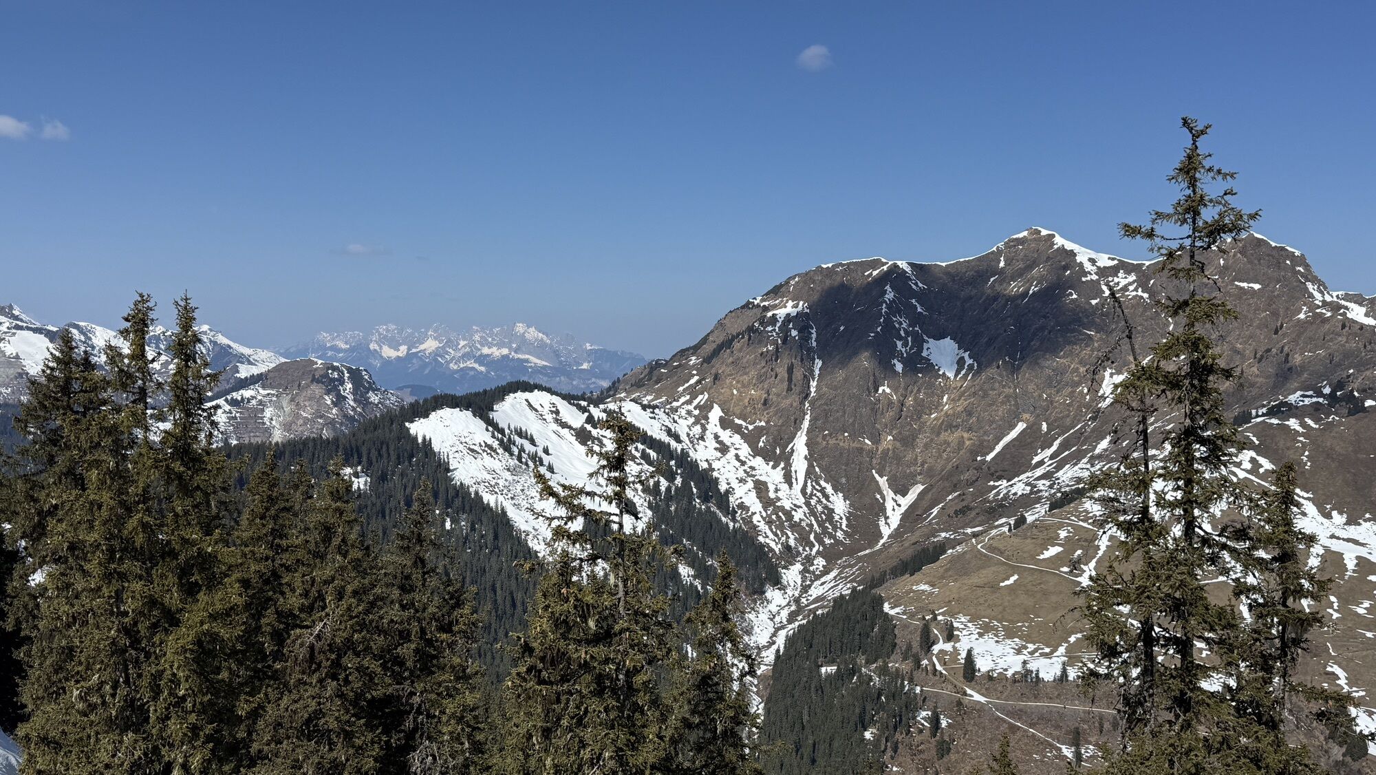
 © Margreth ReiterUtworzono dnia 05.09.2023
 -
 © Margreth ReiterUtworzono dnia 05.09.2023
 -
 © Margreth ReiterUtworzono dnia 05.09.2023
 -
 © Margreth ReiterUtworzono dnia 05.09.2023
 -
 © Margreth ReiterUtworzono dnia 05.09.2023
 -

 © Martin OberascherUtworzono dnia 23.10.2022
 -
 © Martin OberascherUtworzono dnia 23.10.2022
 -
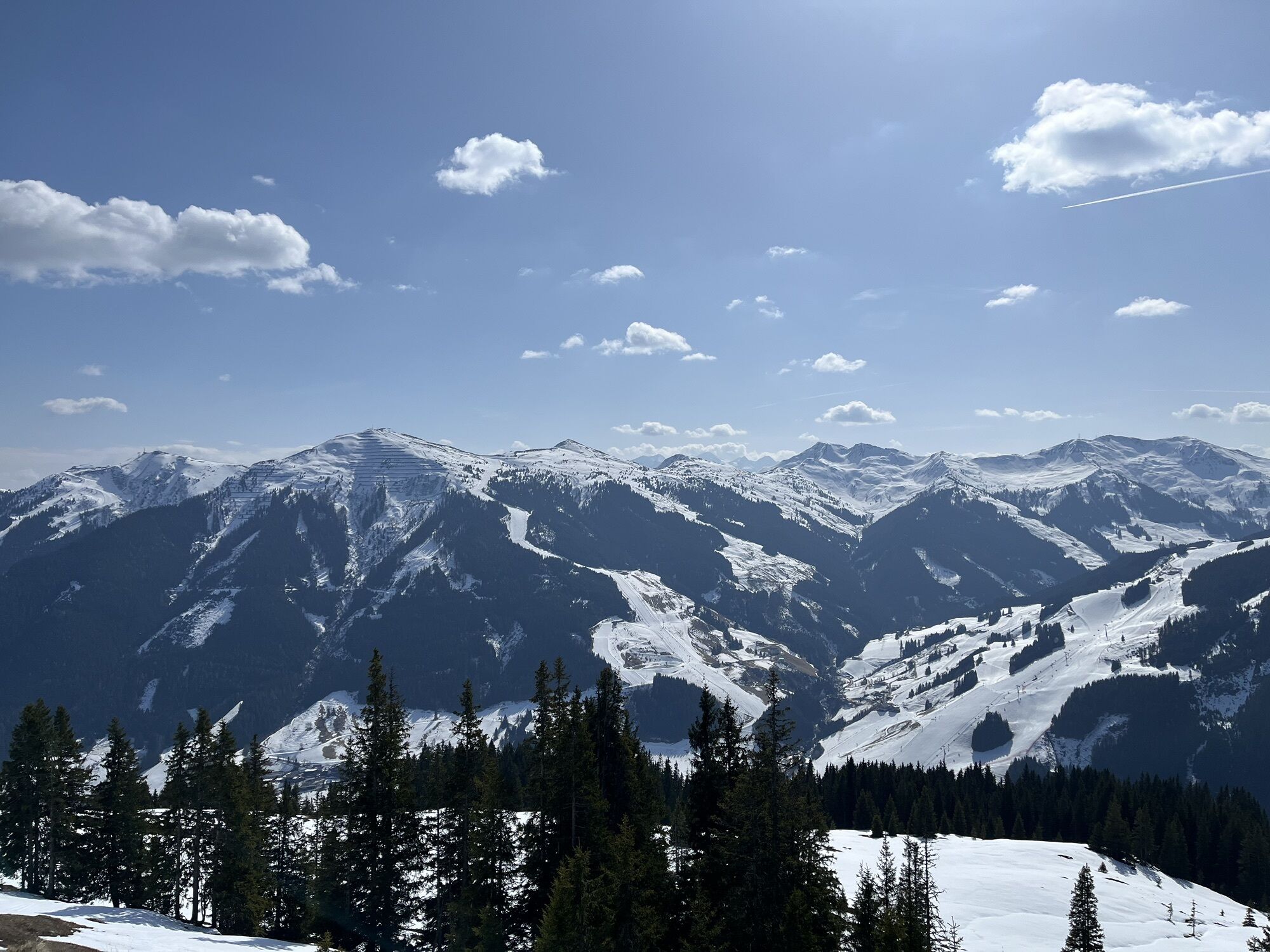
 © Andreas AufschnaiterUtworzono dnia 05.09.2022
 -
 © Jonas HüttmeyerUtworzono dnia 26.08.2022
 -
 © Josef KastUtworzono dnia 25.08.2022
 -

 © annnaa0801Utworzono dnia 06.04.2026
 -
 © annnaa0801Utworzono dnia 06.04.2026
 -
 © annnaa0801Utworzono dnia 06.04.2026
 -
 © annnaa0801Utworzono dnia 06.04.2026
 -
 © annnaa0801Utworzono dnia 06.04.2026
 -
 © annnaa0801Utworzono dnia 06.04.2026
 -
 © Alexandra BazeltUtworzono dnia 04.04.2026
 -
 © Antoine WaqueUtworzono dnia 03.04.2026
 -
 © Jan GörgelUtworzono dnia 03.04.2026
 -
 © annnaa0801Utworzono dnia 31.03.2026
 -
 © annnaa0801Utworzono dnia 31.03.2026
 -
 © Stefan RibischUtworzono dnia 22.03.2026
 -
 © Stefan RibischUtworzono dnia 22.03.2026
 -

 © Bartek JatczakUtworzono dnia 20.03.2026
 -
 © Cristian Di BiaseUtworzono dnia 11.03.2026
 -
 © Cristian Di BiaseUtworzono dnia 11.03.2026
 -
 © Cristian Di BiaseUtworzono dnia 11.03.2026
 -
 © Cristian Di BiaseUtworzono dnia 11.03.2026
 -
 © Cristian Di BiaseUtworzono dnia 10.03.2026
 -
 © Niko HaxUtworzono dnia 10.03.2026
 -
 © Niko HaxUtworzono dnia 10.03.2026
 -
 © Cristian Di BiaseUtworzono dnia 10.03.2026
 -
 © Michi SteiertUtworzono dnia 07.03.2026
 -
 © VonniUtworzono dnia 06.03.2026
 -
 © Renée BruijsUtworzono dnia 05.03.2026
 -
 © Phil MoUtworzono dnia 04.03.2026
 -

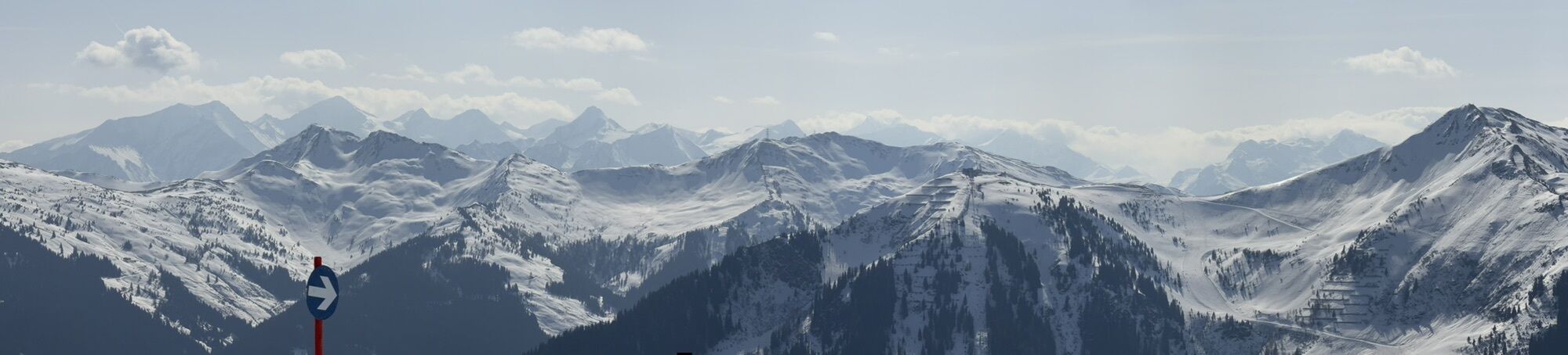
 © KapitänUtworzono dnia 04.03.2026


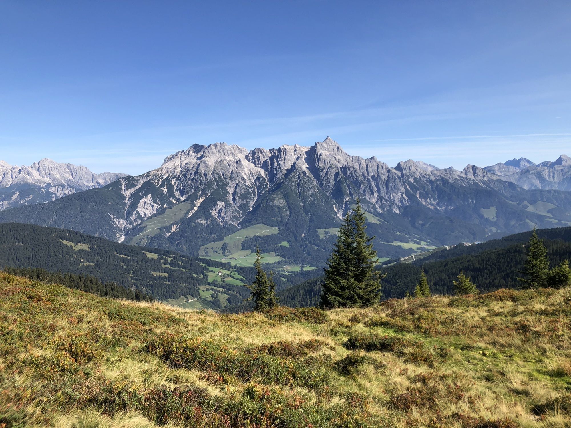


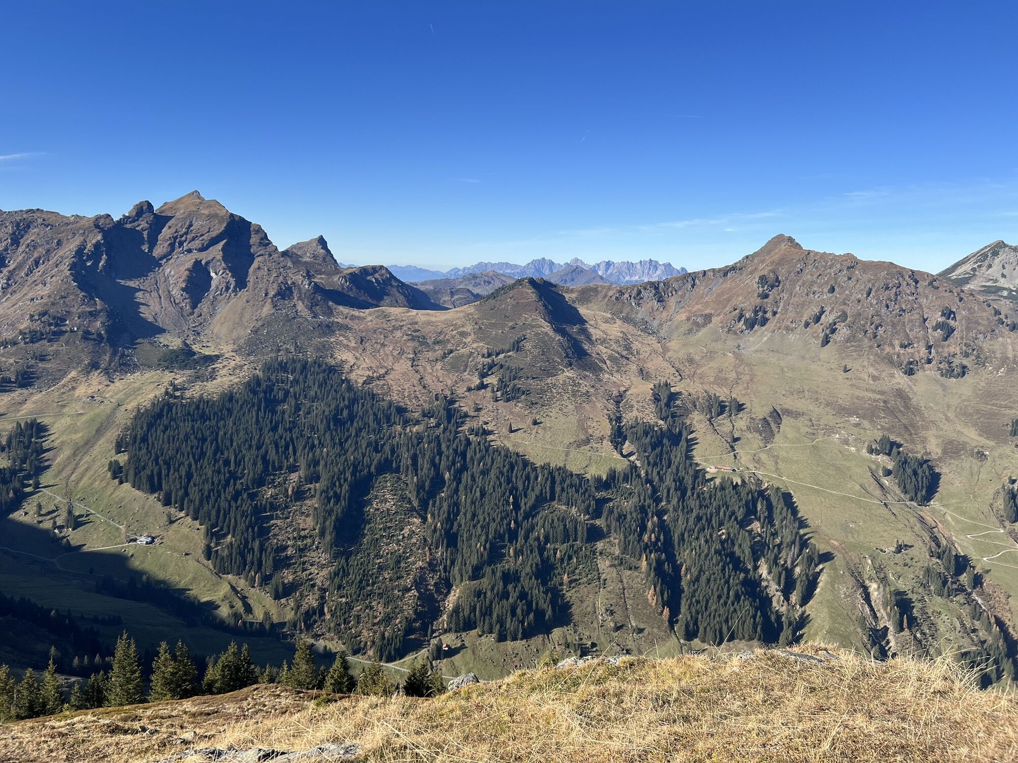


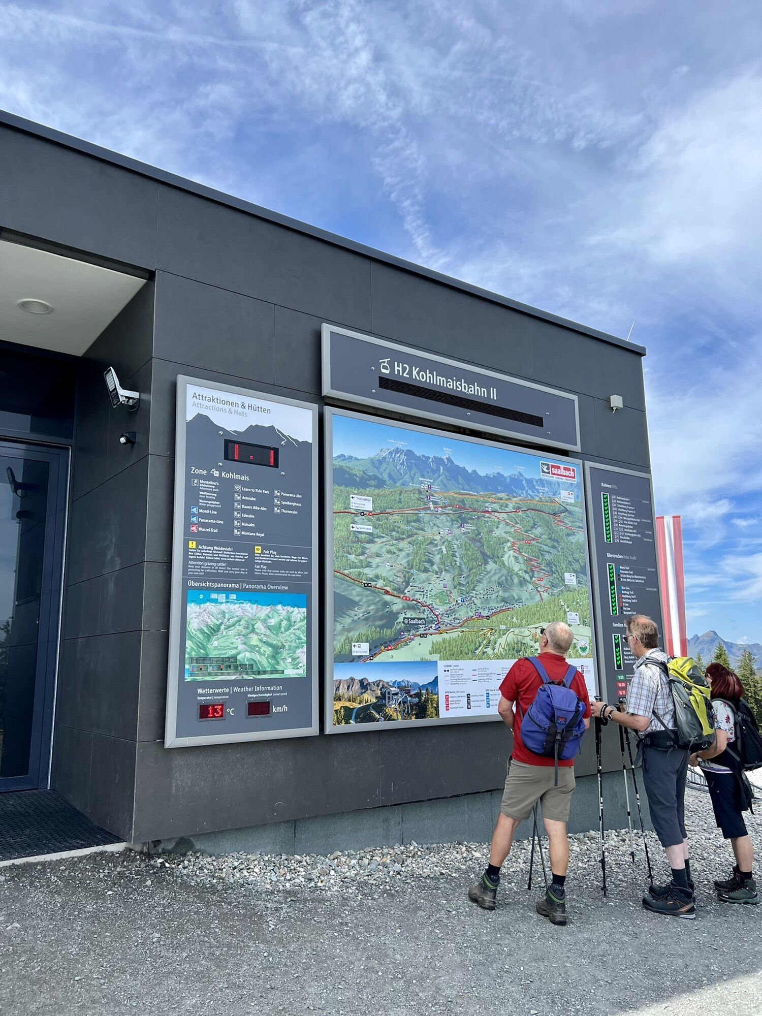


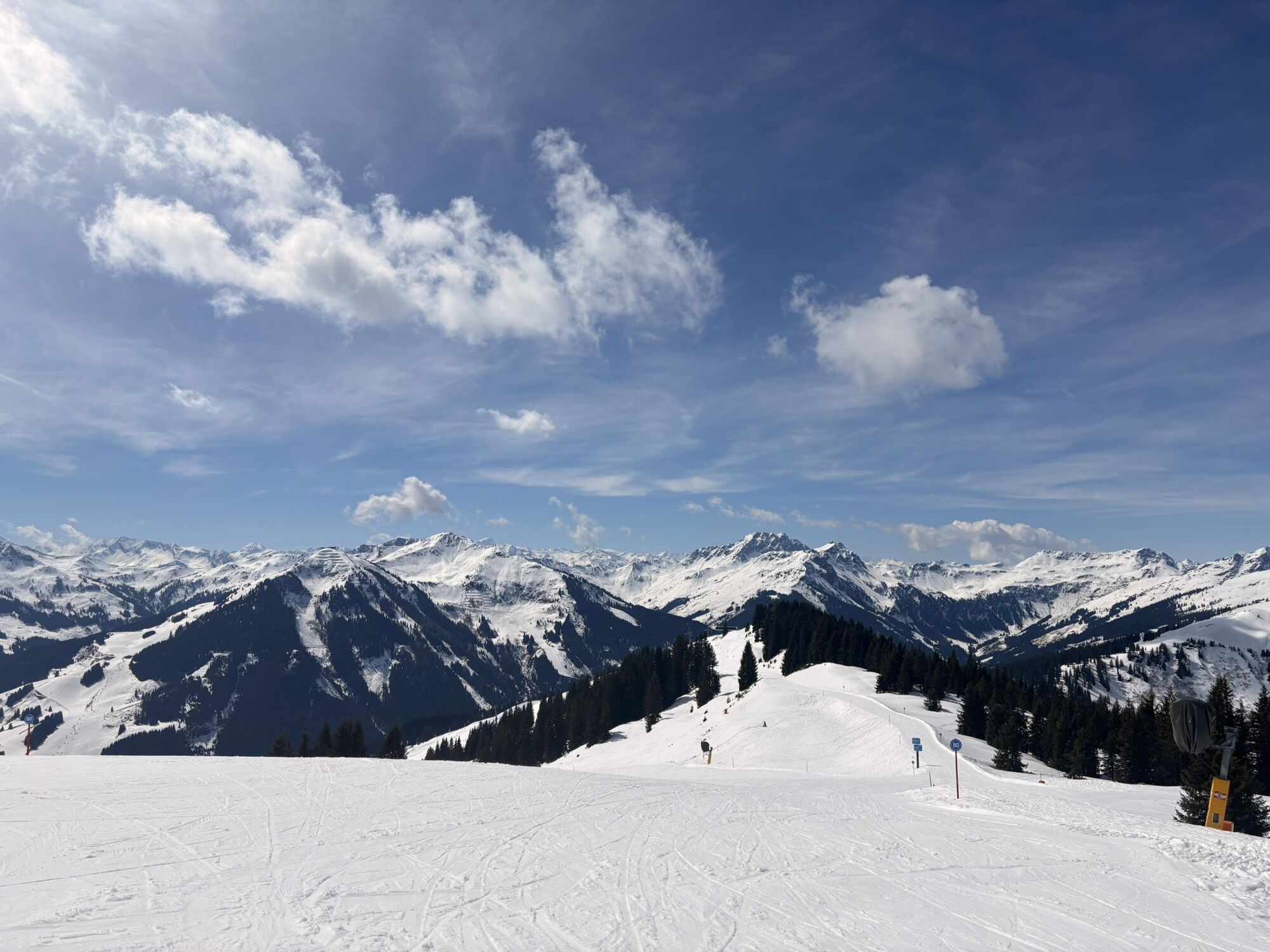


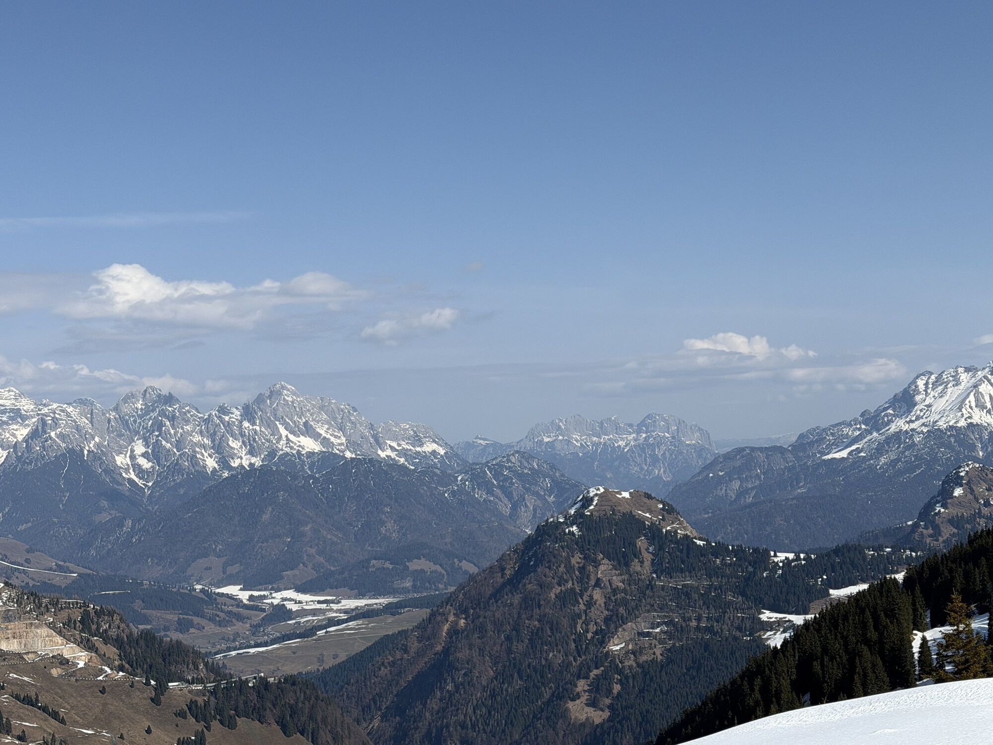

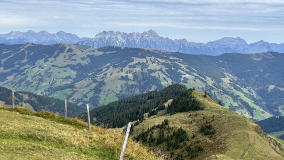
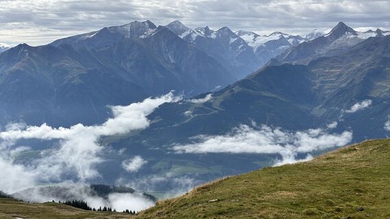
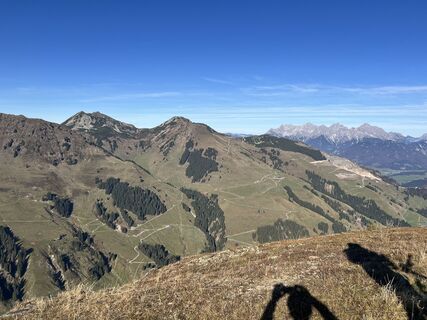
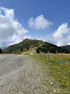
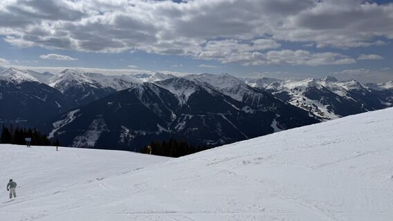
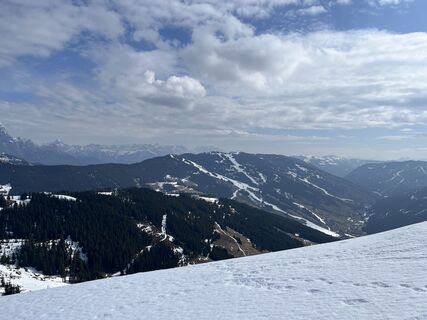
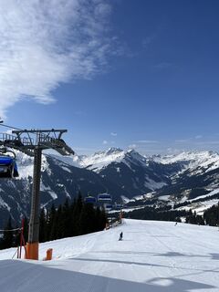
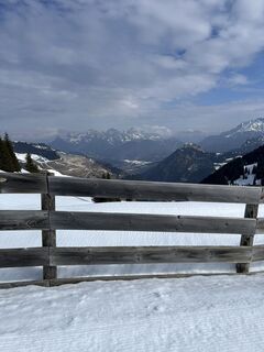
Along the Kitzbüheler Alps, with an average running elevation of 2000m
along the entire Glemmtal, from east to west and back.


Trail running at the highest level. GPS and map required.
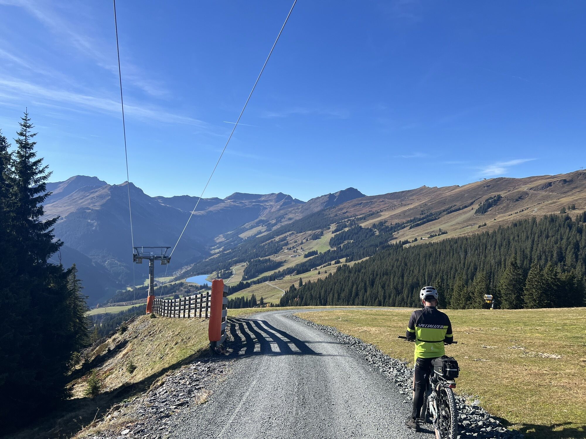
Start in Jausern/Vorderglemm or with the hiking bus to Viehofen.
There it starts, always along the ridge to the Schmittenhöhe.
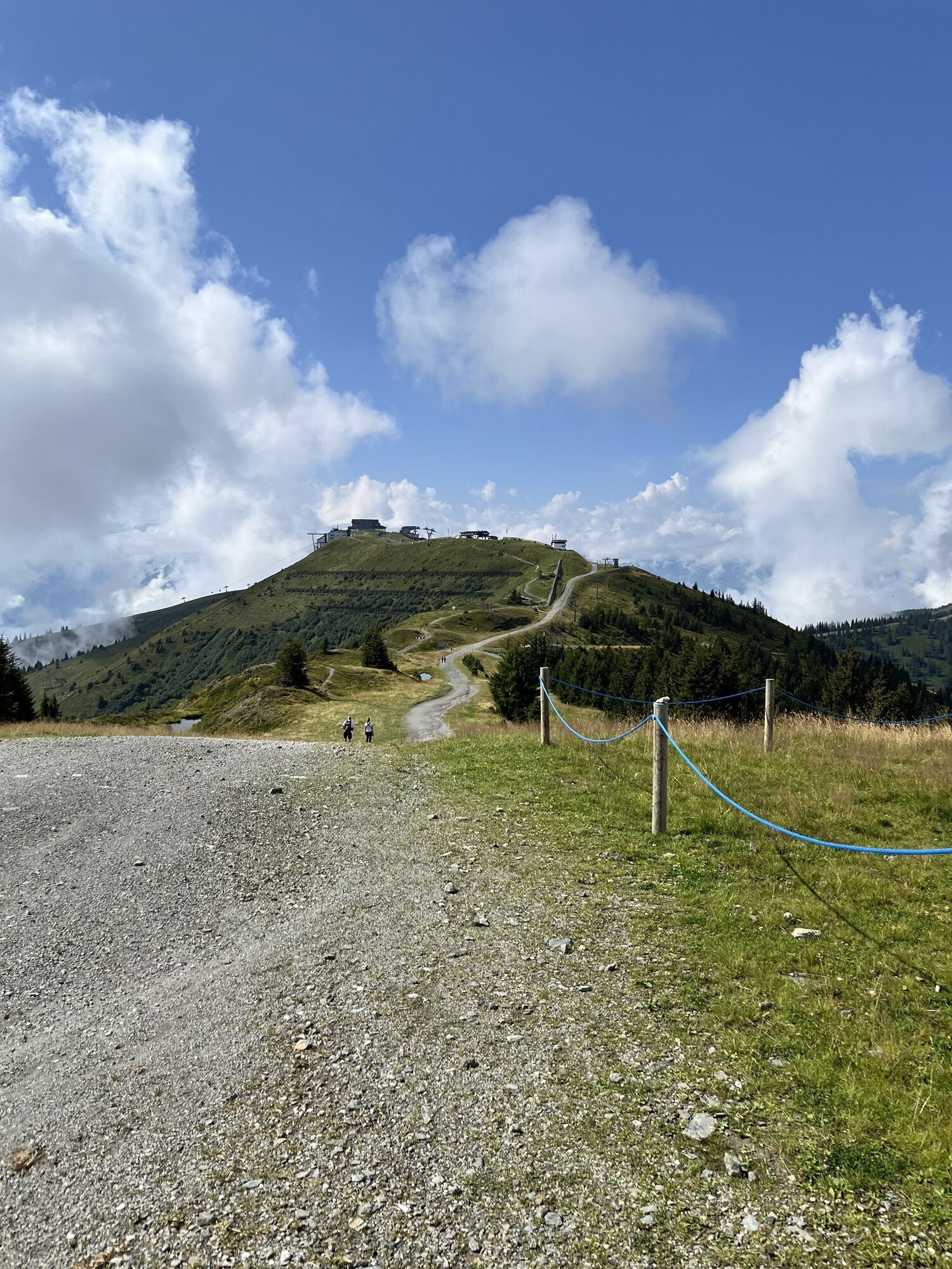
From there over every summit to the Klinglertörl. Here up to the Hochkogel and
further along the 7 Summit Trail to the Geißstein. (highest point)
Further over the entire valley end ridge to the Staffkogel, further towards
Spieleckkogel and Reiterkogel. Here the last section is in sight, over the Bernkogel
and the Spielberghaus, along the Saalachtaler Höhenweg to the Asitz summit.
Then downhill back to the starting point.
Tak
Tak
Tak
Top shoes
Trail backpack
Mobile phone (battery charged, emergency number)
Functional running clothing
Headlamp (spare batteries)
Minimum 2.0L drinking fluid
Whistle (on every good backpack)
Headgear/cap (heat-rain)
Aluminum emergency blanket! (Aluminum-coated 140×200 cm)
Route map
Emergency provisions (at least 2 bars or gels)
Insurance for possible helicopter rescue (ÖAV, ÖMTC…)
Rain jacket with a water column of at least 10,000 mm
Rain pants with a water column of at least 10,000 mm (optional)
Hat, gloves, long pants and long shirt (depending on weather)
GPS would be very important, or rather helpful.
Trail running poles, salt tablets, amino acid tablets...
Best possible preparation necessary.
Guided trail running: kontakt@verticallife.at
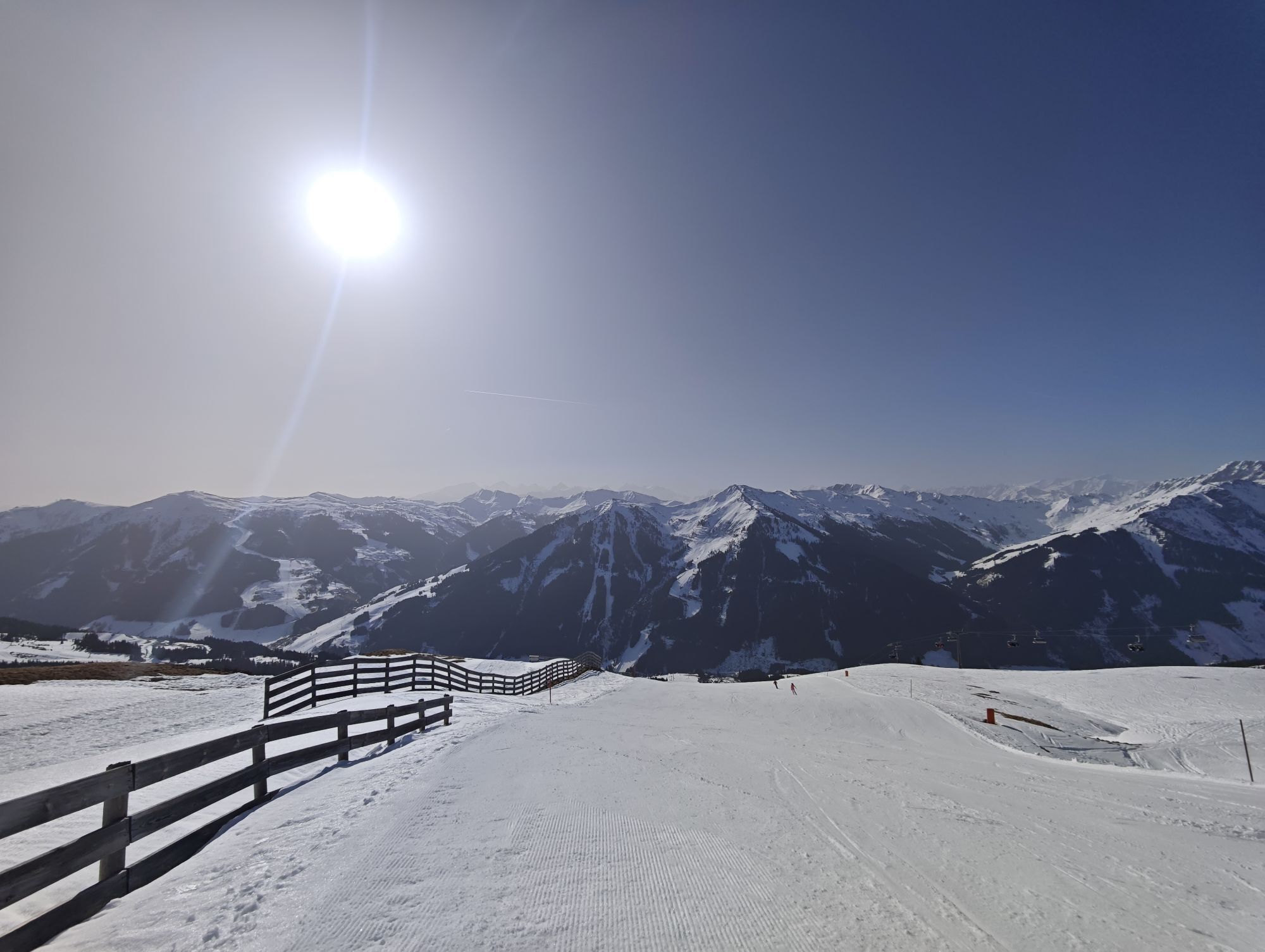
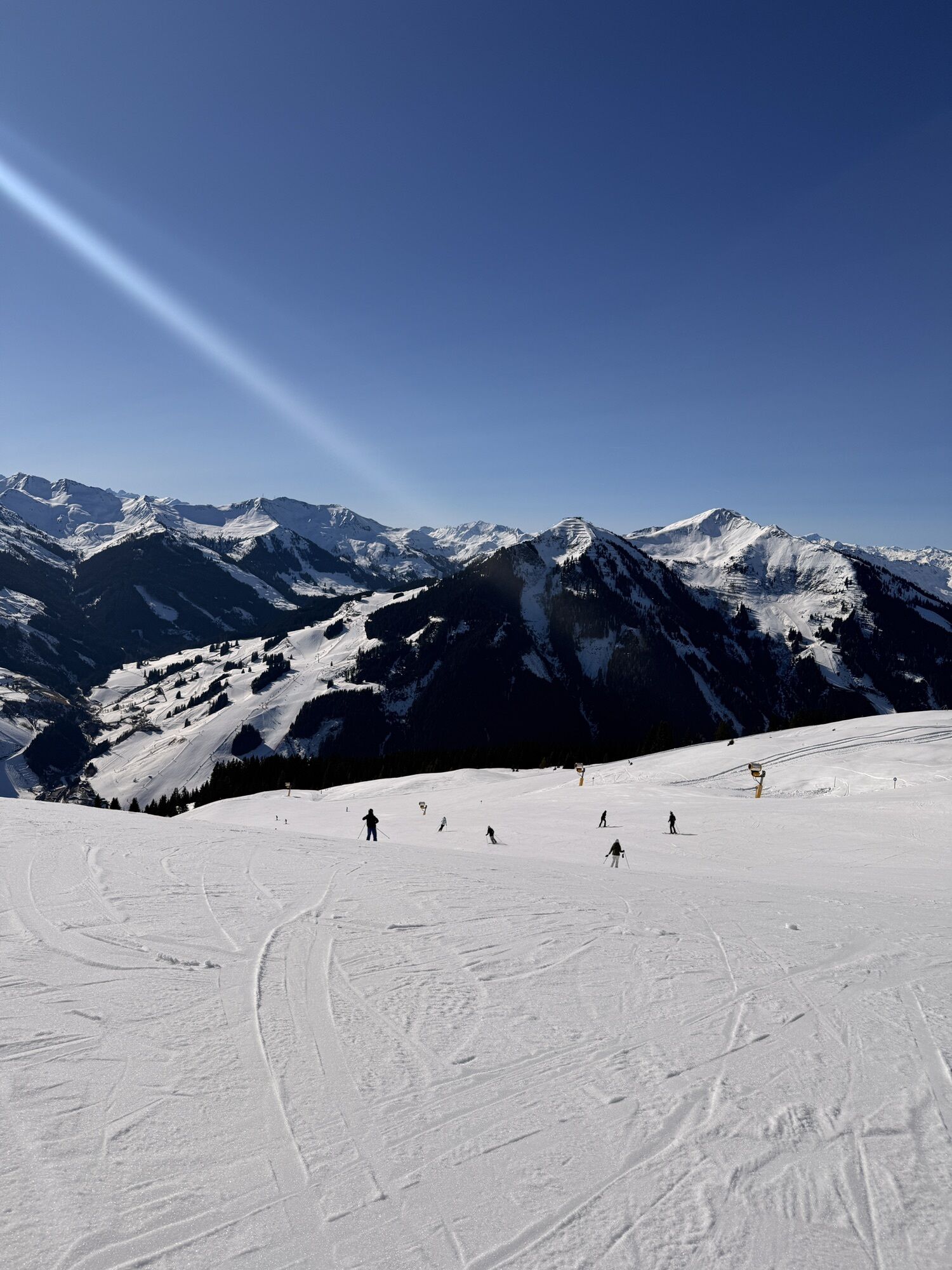
Kamery internetowe z trasy
-
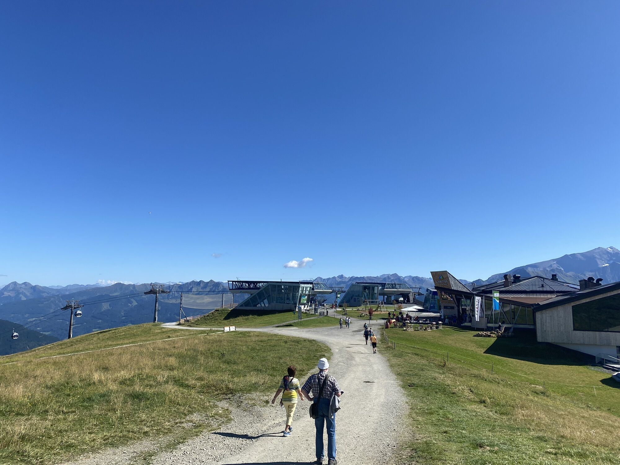
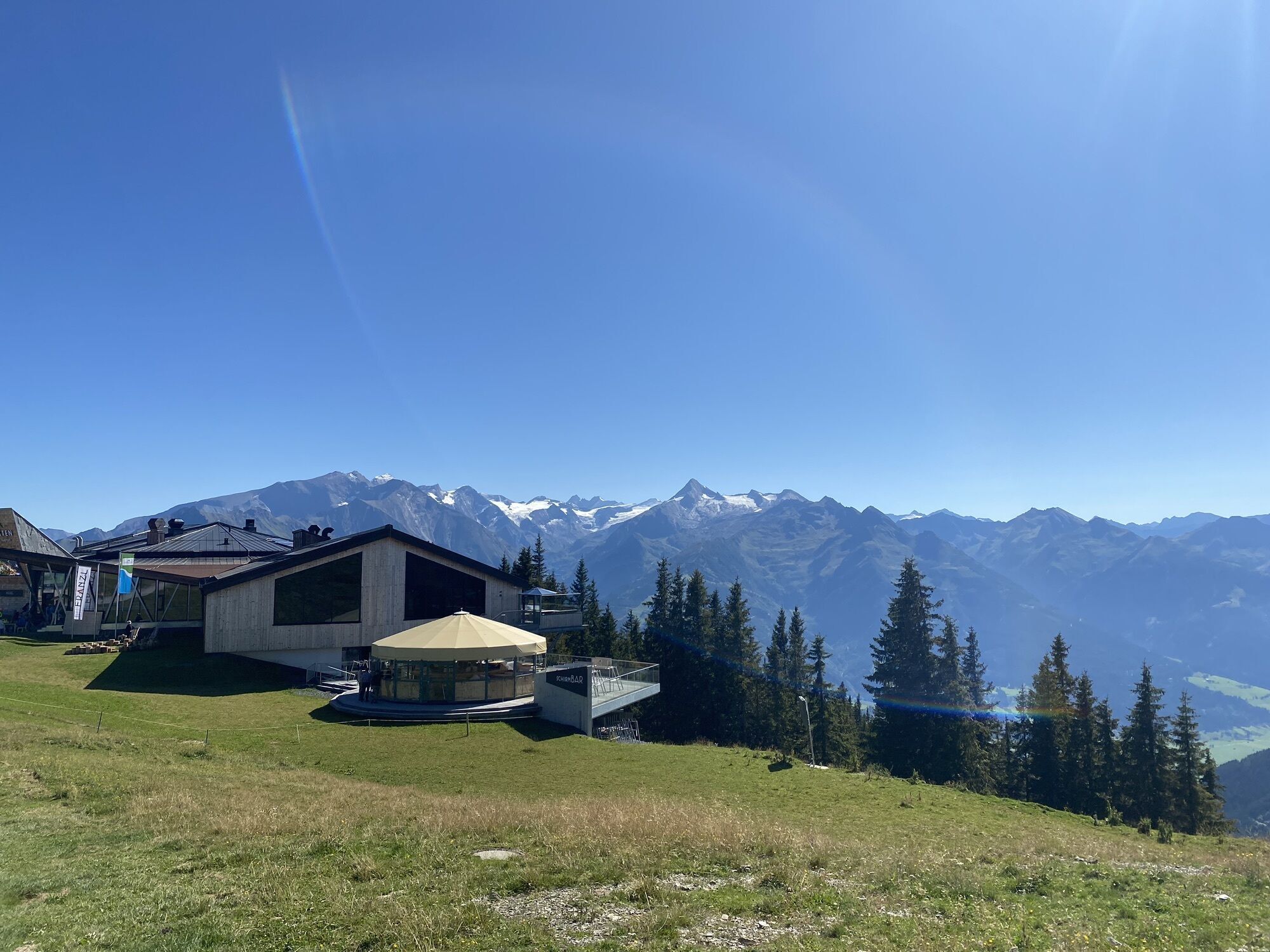
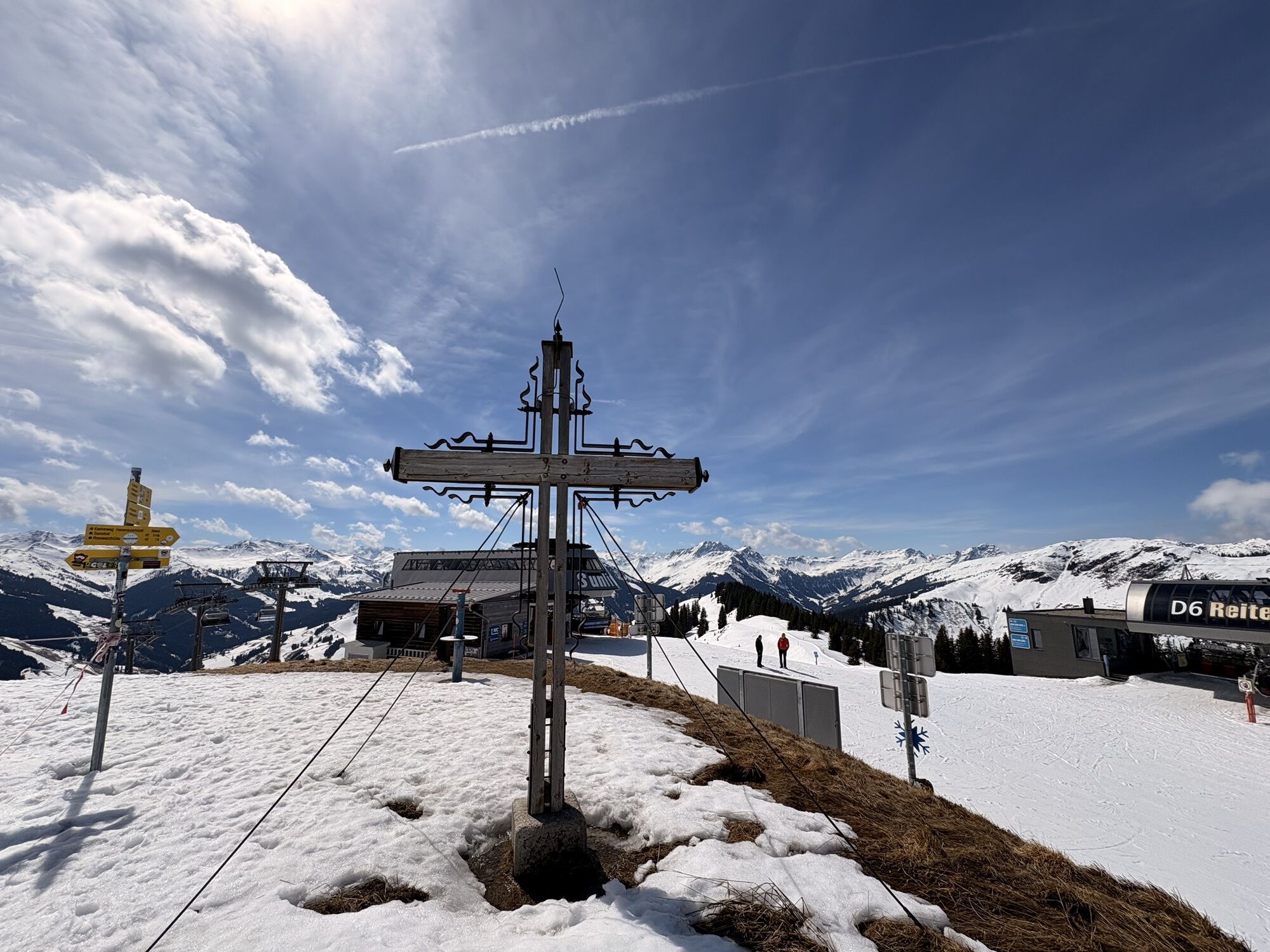
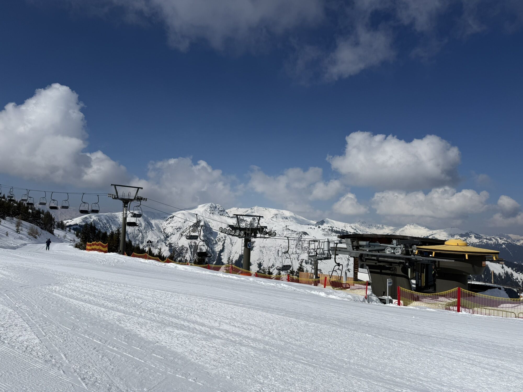
Schmittenhöhe
-
Schattberg - West
-
Asitz Gipfel
-
Berghotel Seidl-Alm
-
Schattberg Westgipfel
-
Hinterglemm Dorf
-
Asitz Mittelstation
-
Kohlmais Tal
-
Sonnkogel
-
Schmittenhöhe
-
Zell am See / Hotel Berner
-
Asitz Talstation
-
Schmittenhöhe
-
Schmittenhöhe
-
Reckmoos
-
Hinterglemm - Saalbach
-
Großer Asitz / Gipfelkreuz
-
Schattberg Ost
-
Zwölferkogel
-
Wildenkarkogel
-
Saalbach - Alpinresort Sport & Spa
-
Schattberg-Ost
-
Zwölferkogel
-
Wildenkarkogel
-
Talstation Asitzbahn
-
Maishofen Sausteige
-
Saalbach-Hinterglemm - Kohlmais
-
Kohlmaiskopf
-
Leogang - Grosser Asitz
-
zellamseeXpress
-
Martenhof
-
Wohlfühlhotel-Johanneshof
-
Eberharthof - Saalbach-Hinterglemm
Popularne wycieczki w okolicy
-
4,5
Birnbachloch Leogang, Österreich
średniWędrówka 5,18 km -
4,7
Tristkogel
ciężkiWędrówka 15,6 km -
5,0
Manlitzkogel
ciężkiWędrówka 13,4 km -
4,2
Saalachtaler Höhenweg EAST (Asitz - Biberg)
średniWędrówka 13,1 km -
4,0
Berg der Sinne
światłoWędrówka 4,39 km -
4,7
Areitweg - Plettsauerkopf - Rundwanderung
średniWędrówka 11,8 km -
3,3
Hinterglemm: Talschluß-Höhenweg
światłoWędrówka 10,8 km -
4,3
Schattberg summit circuit
średniWędrówka 3,17 km -
5,0
Panorama route 3 peaks and 2 lakes
średniWędrówka 7,35 km -
4,0
Pillerseetal - Buchsteinwand-Runde
Mountainbike 20,5 km
Wędrówki i tropienie


Nie przegap ofert i inspiracji na następne wakacje
Twój adres e-mail została dodana do listy mailingowej.