


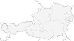


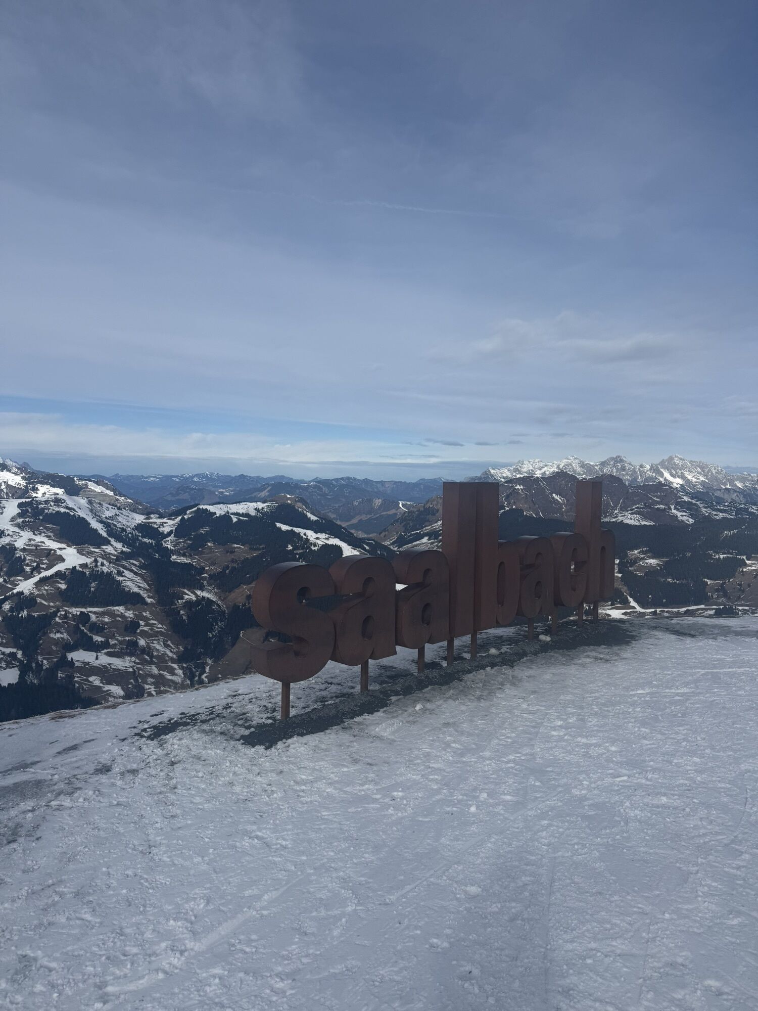
Schattberg summit circuit
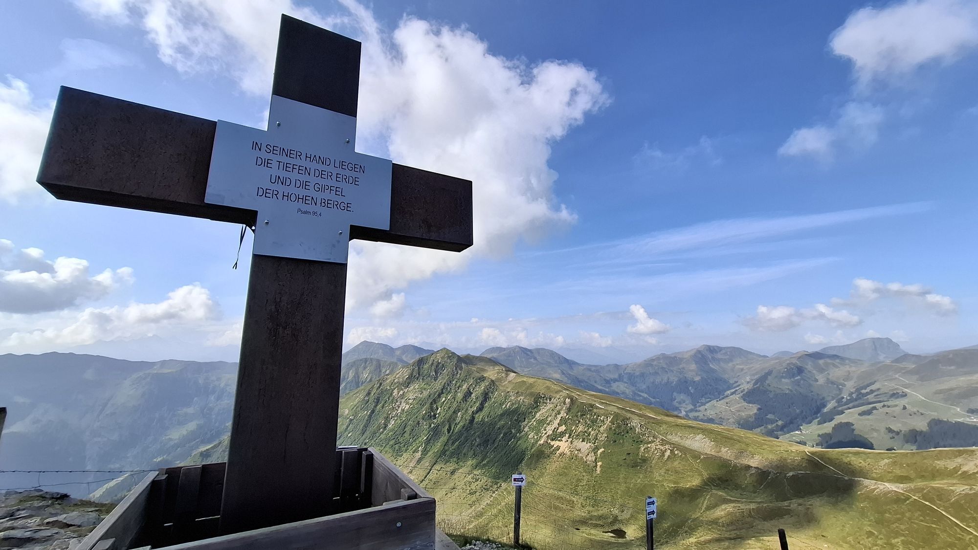
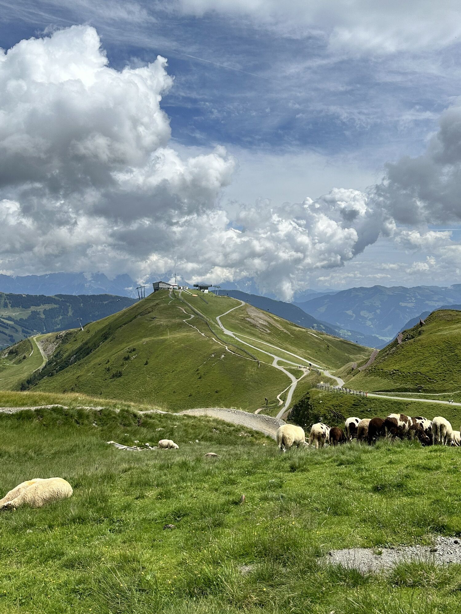
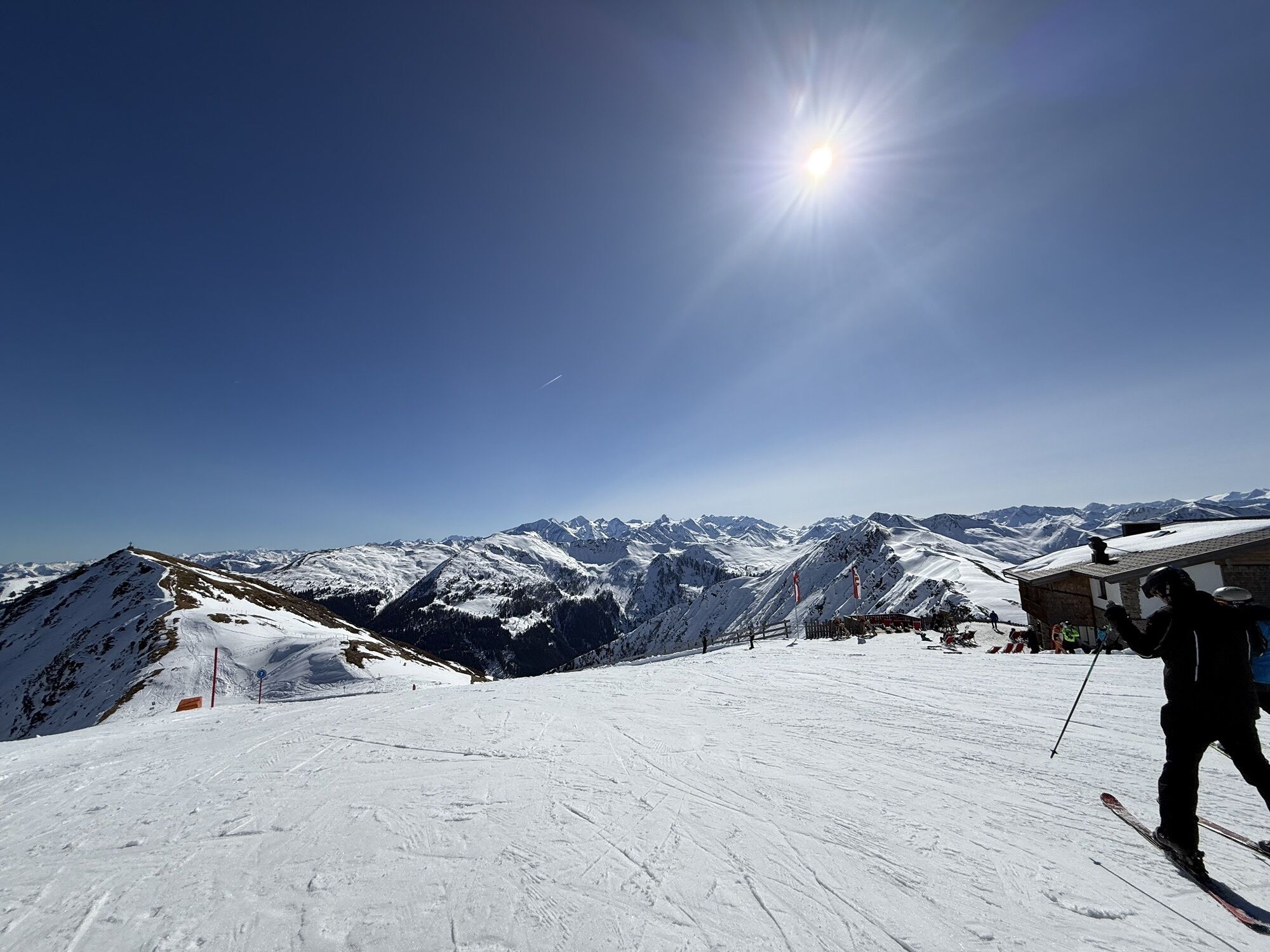
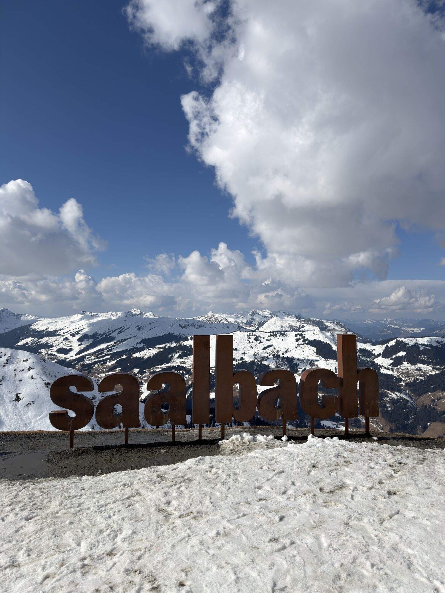
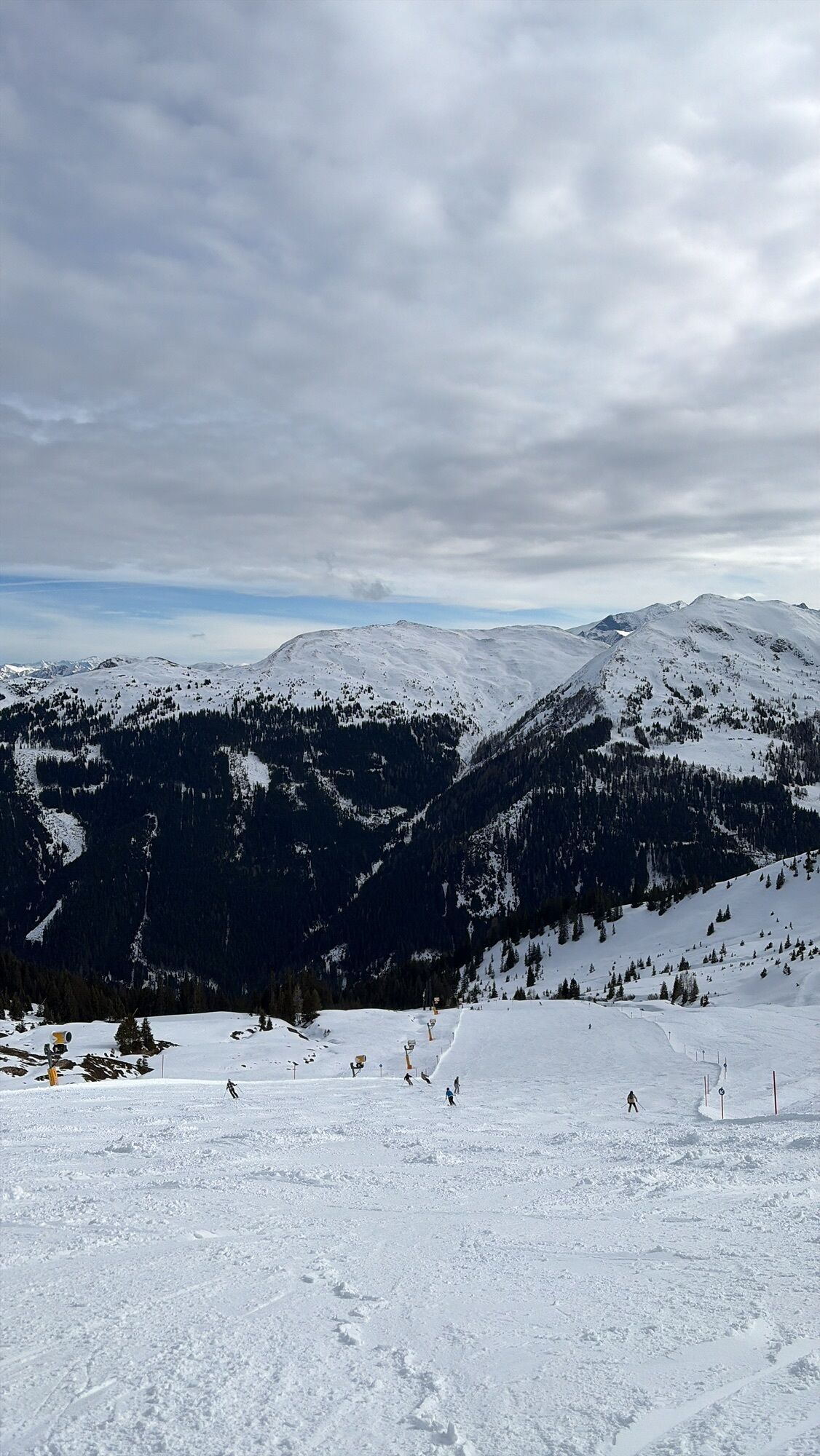
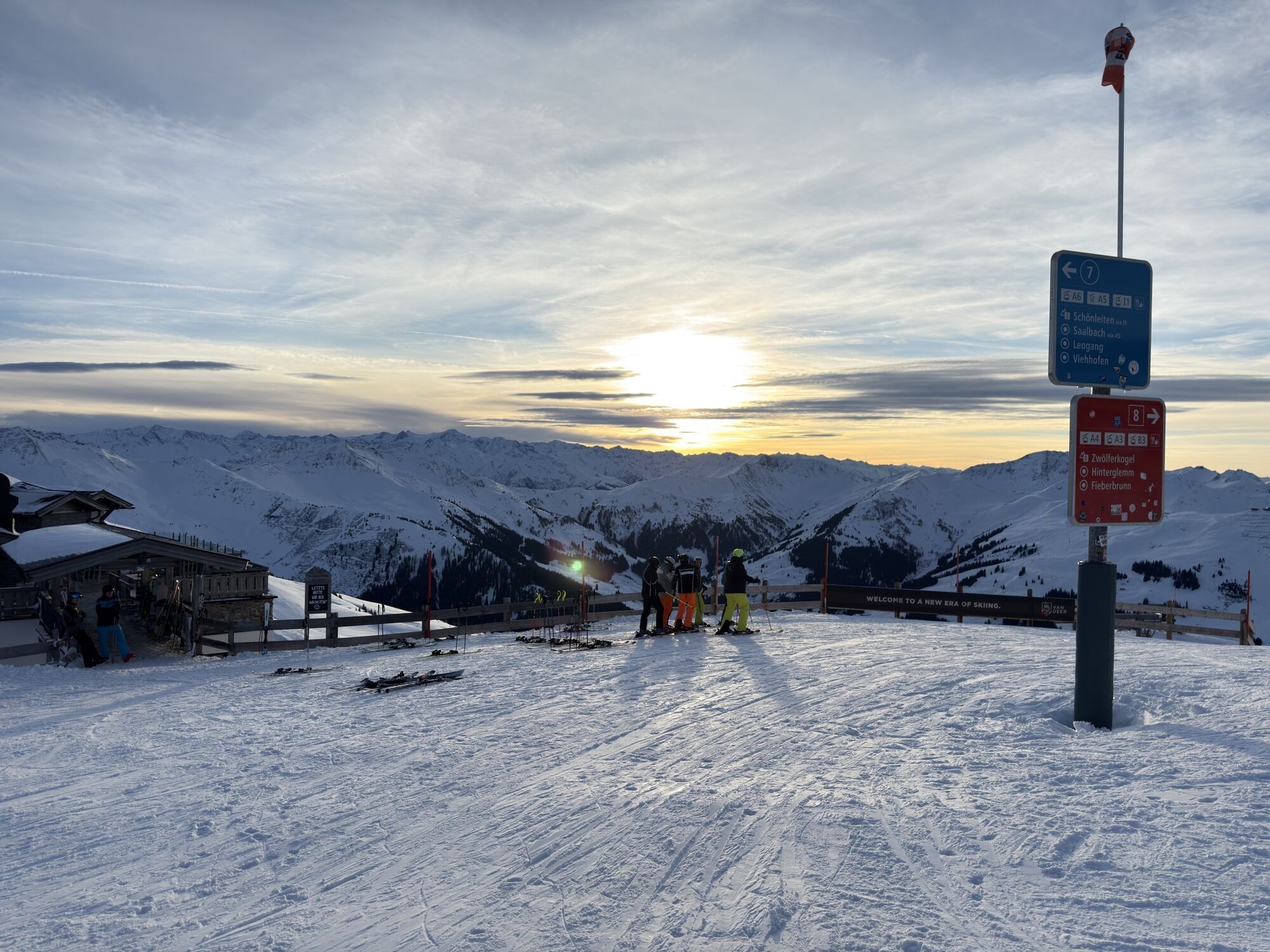
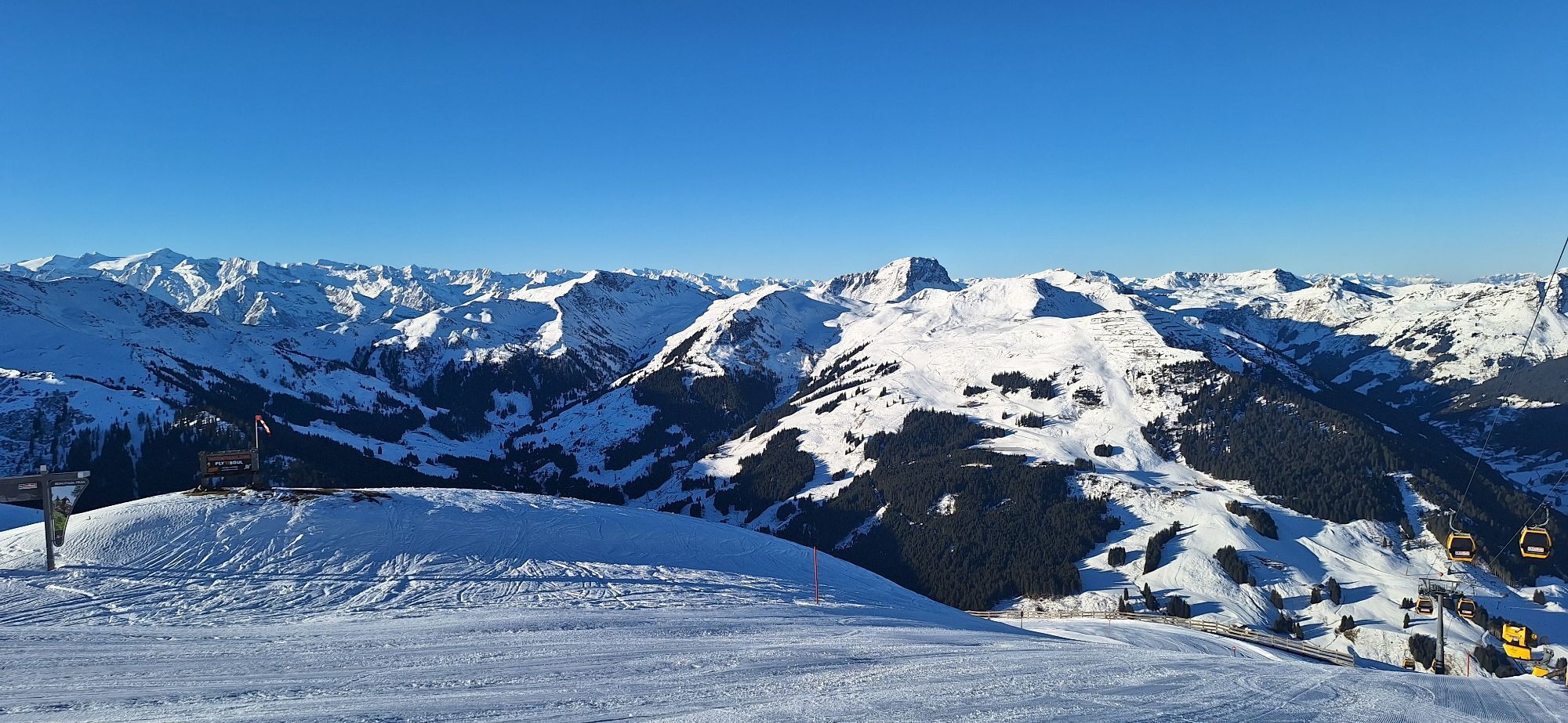
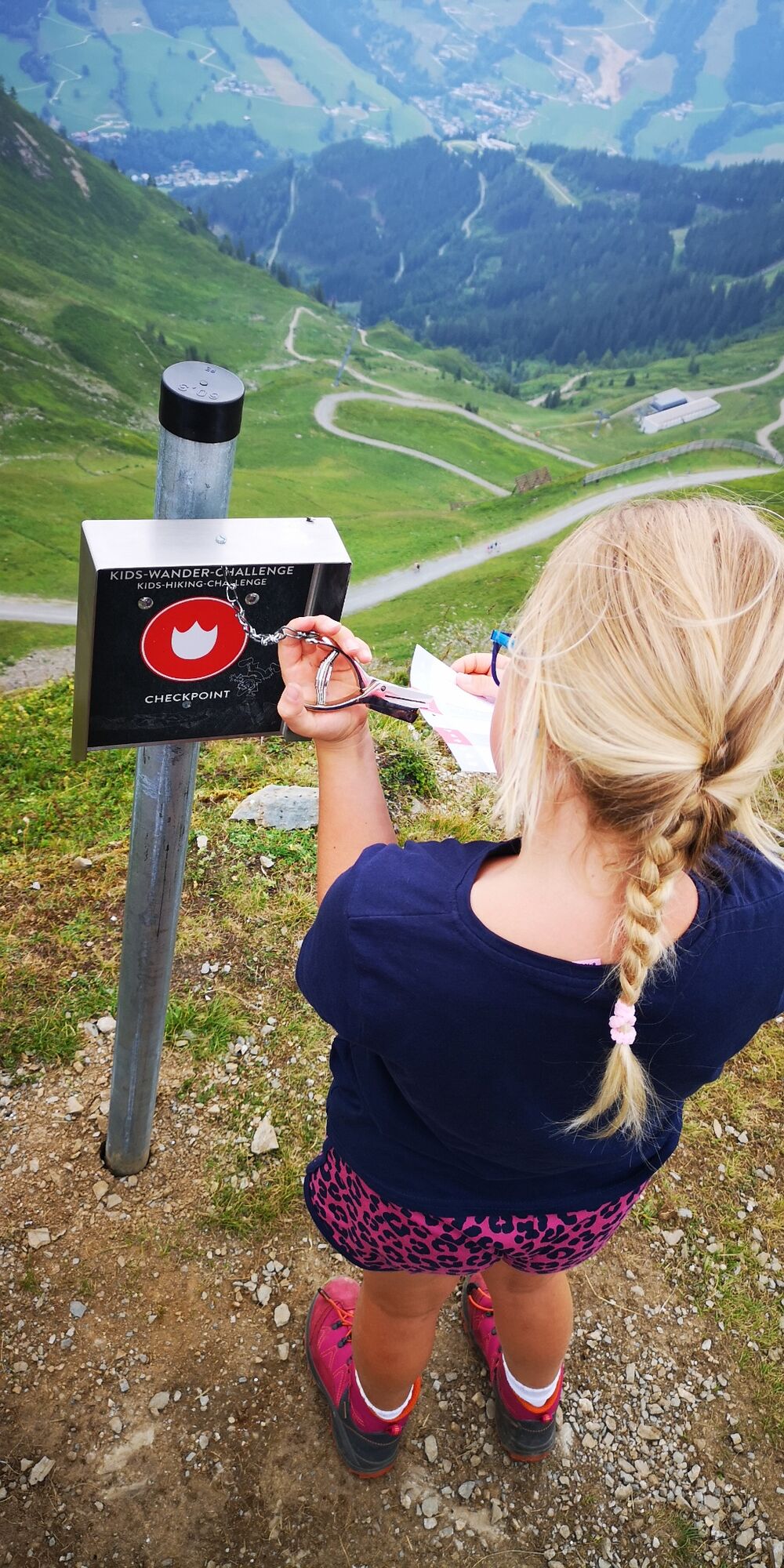
Easy hike from Schattberg East - West - and Middle summit. The Schattberg summit circuit is part of the Kids Hiking Challenge. There is a checkpoint on each of the three summits.

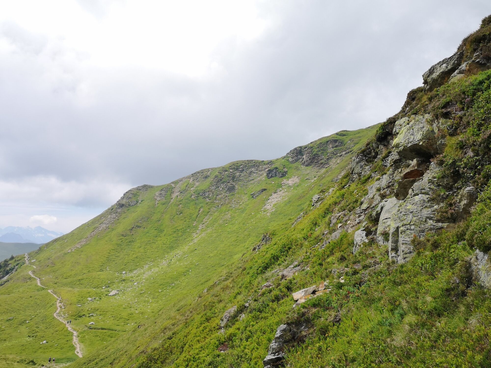
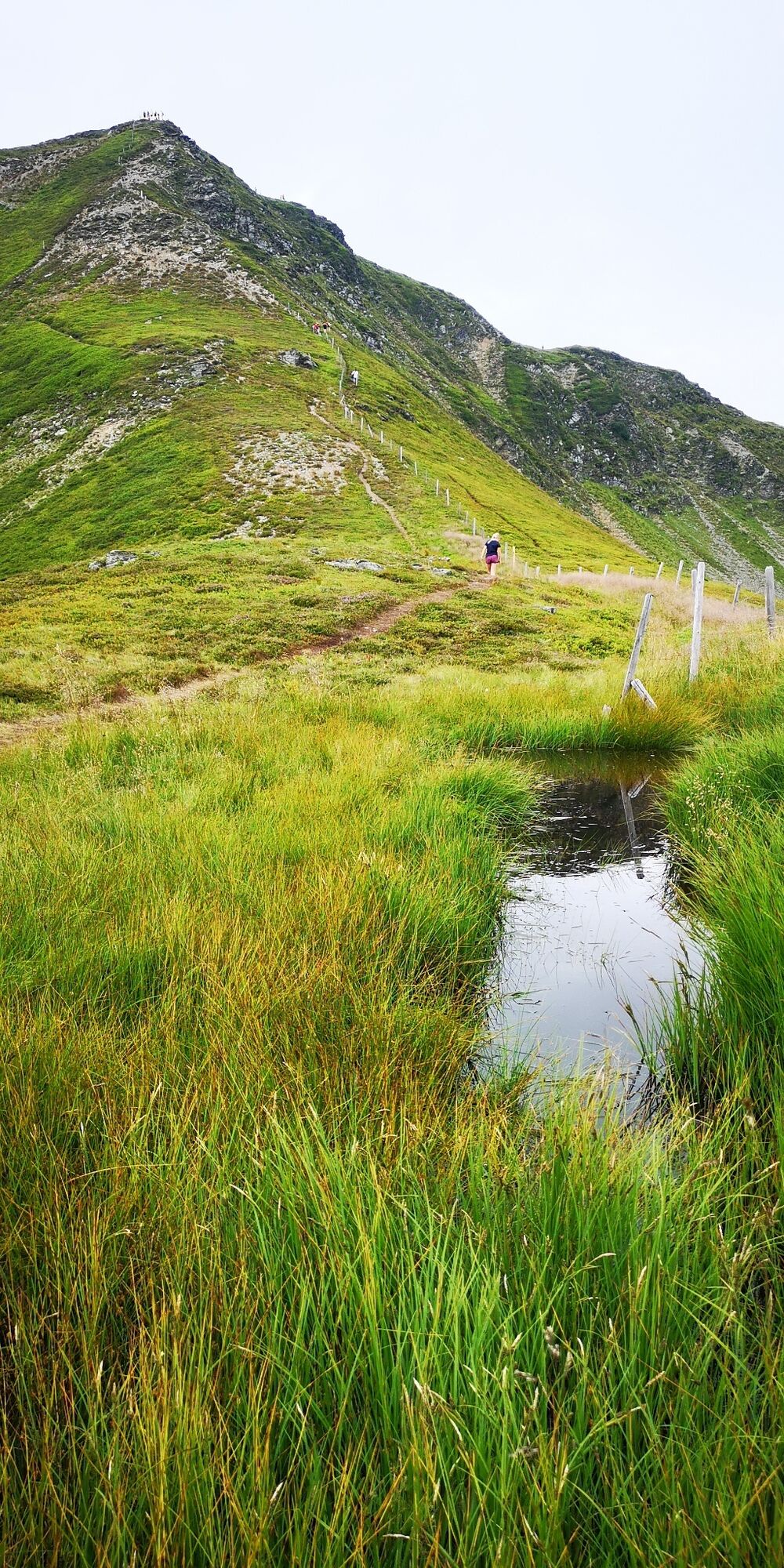
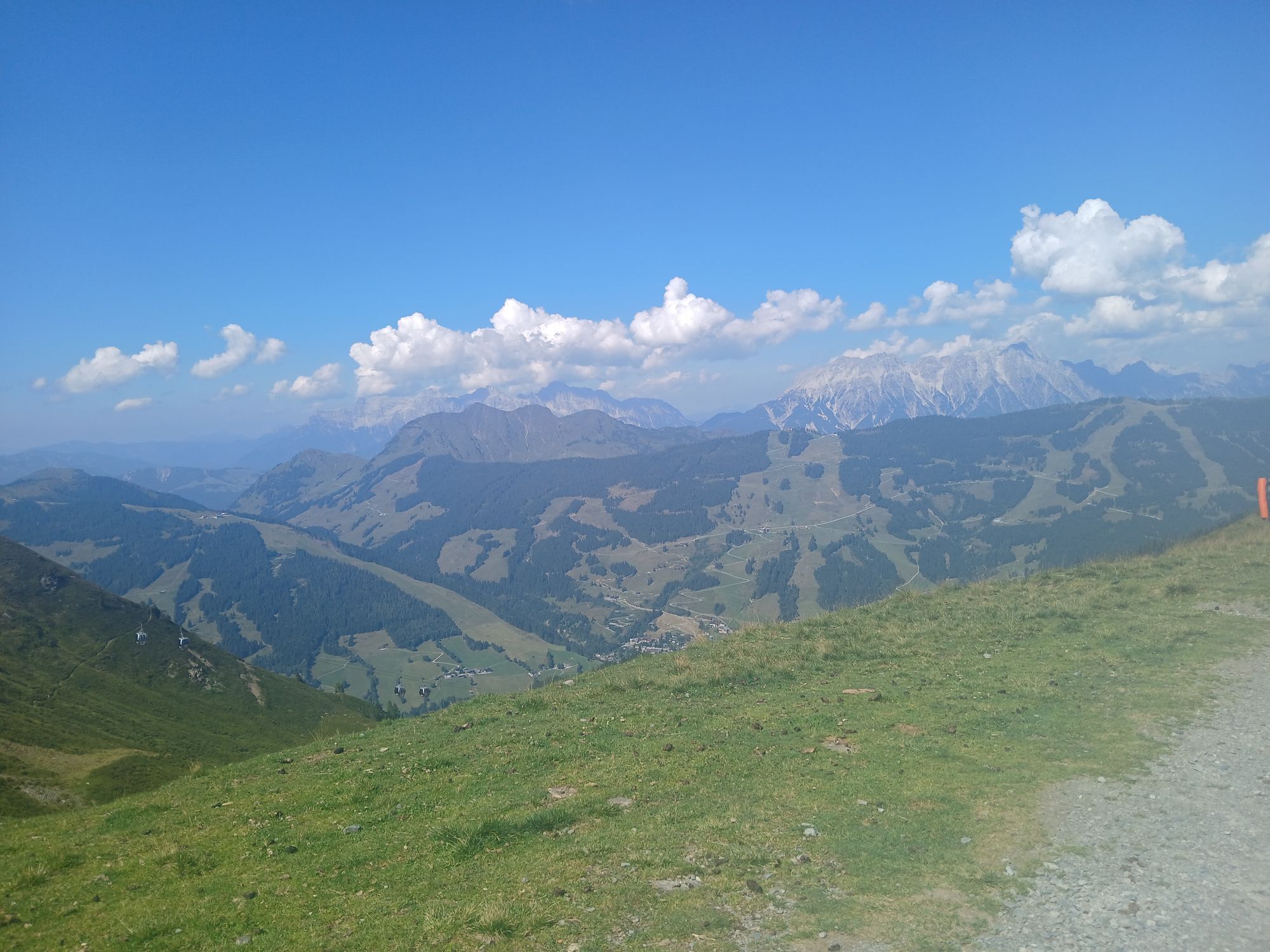
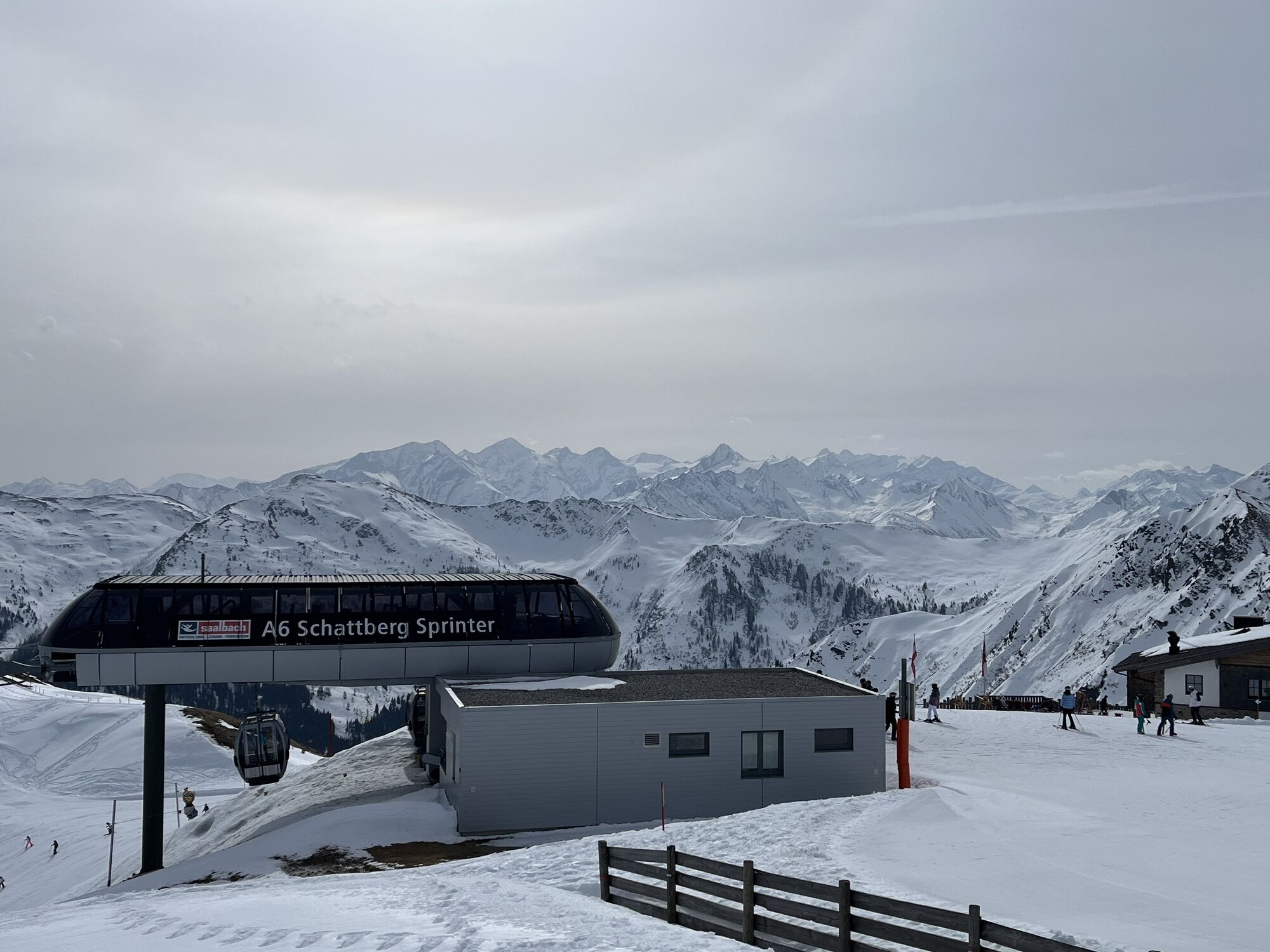
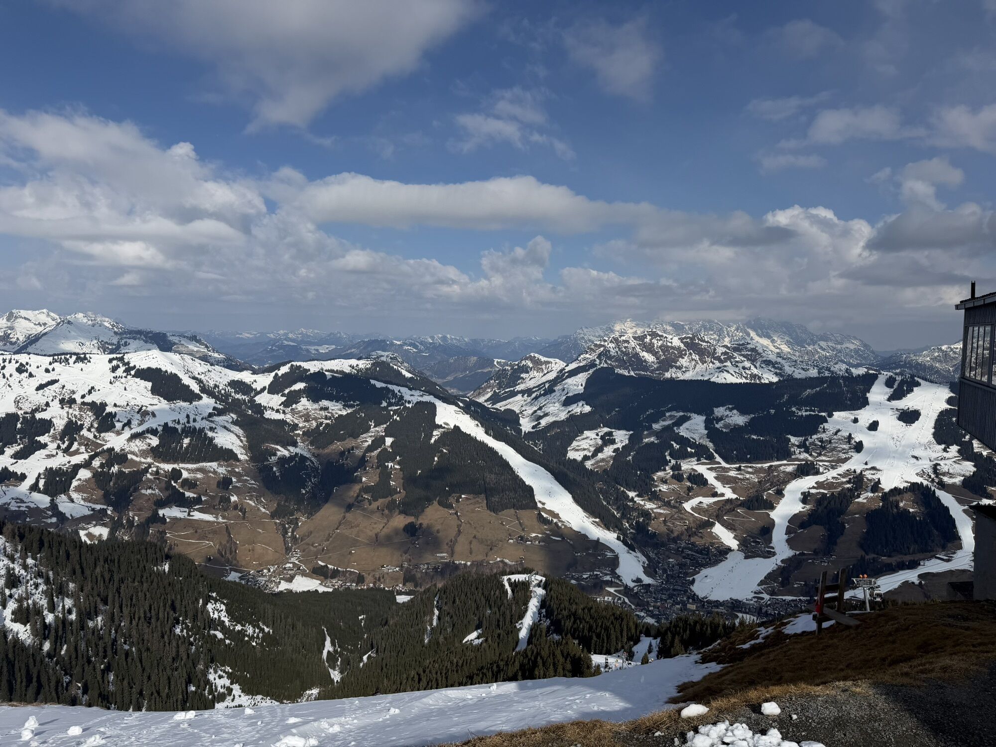
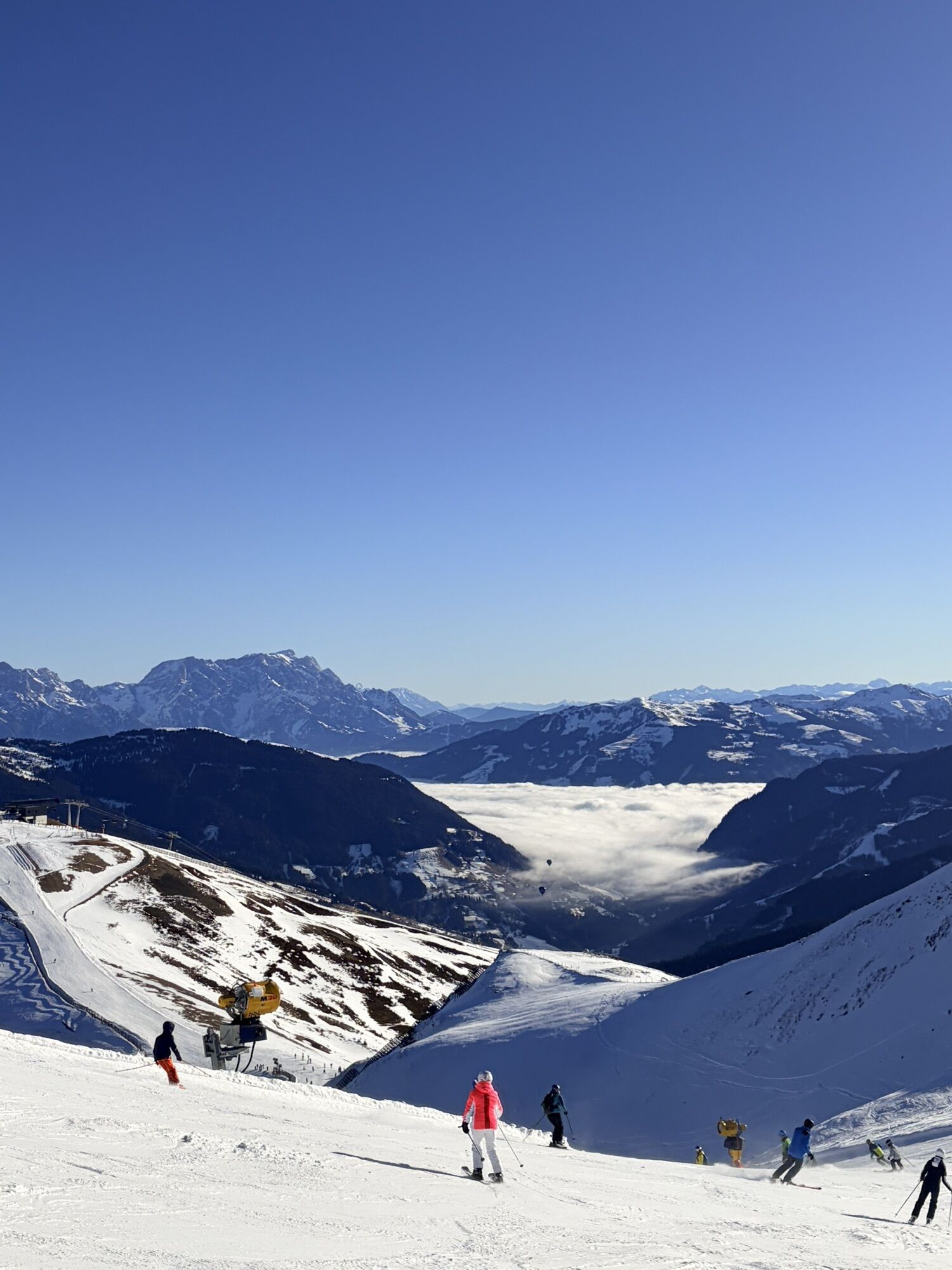
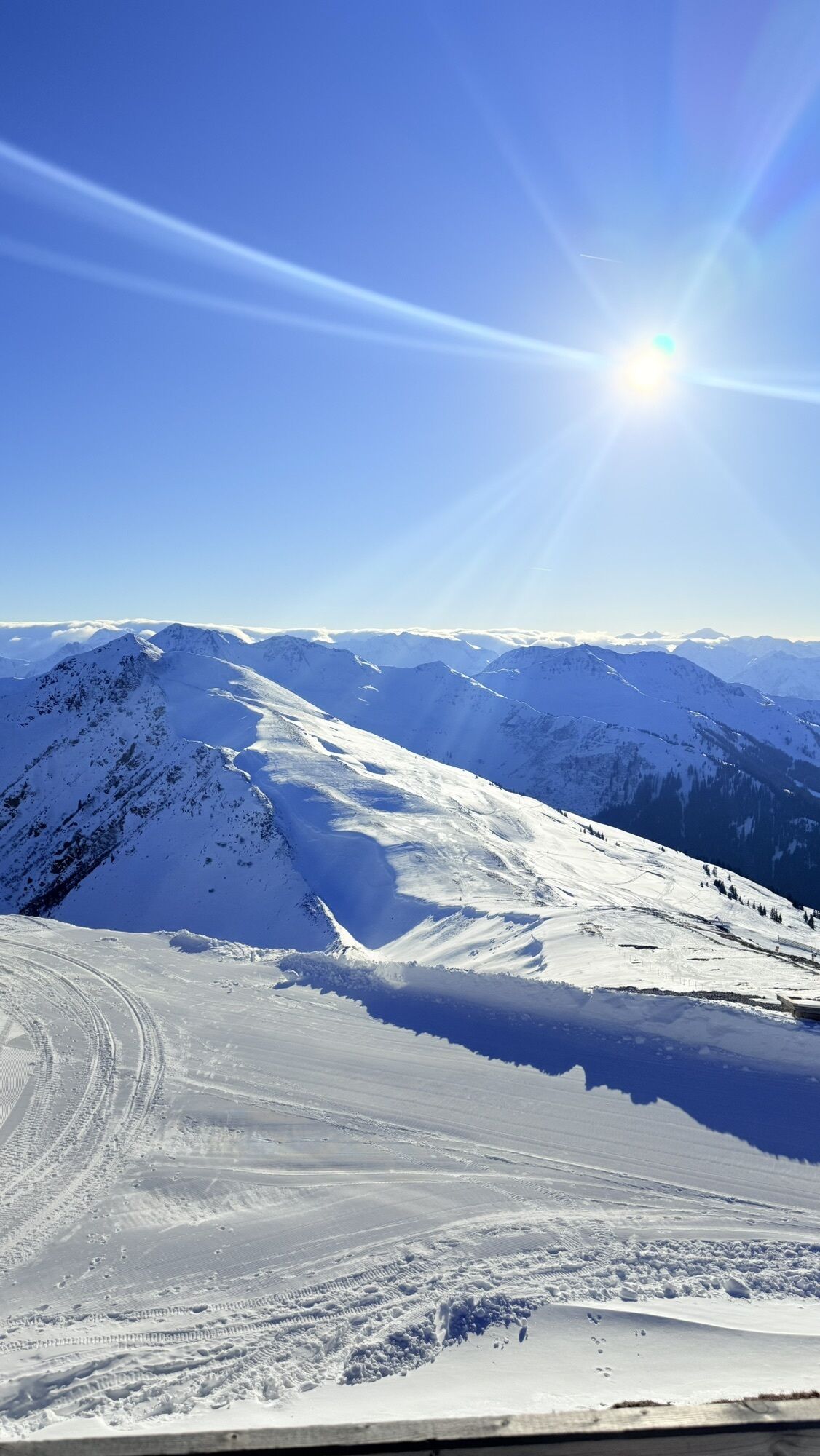
From the mountain station towards the West summit, first slightly downhill then ascending to the hairpin bend.
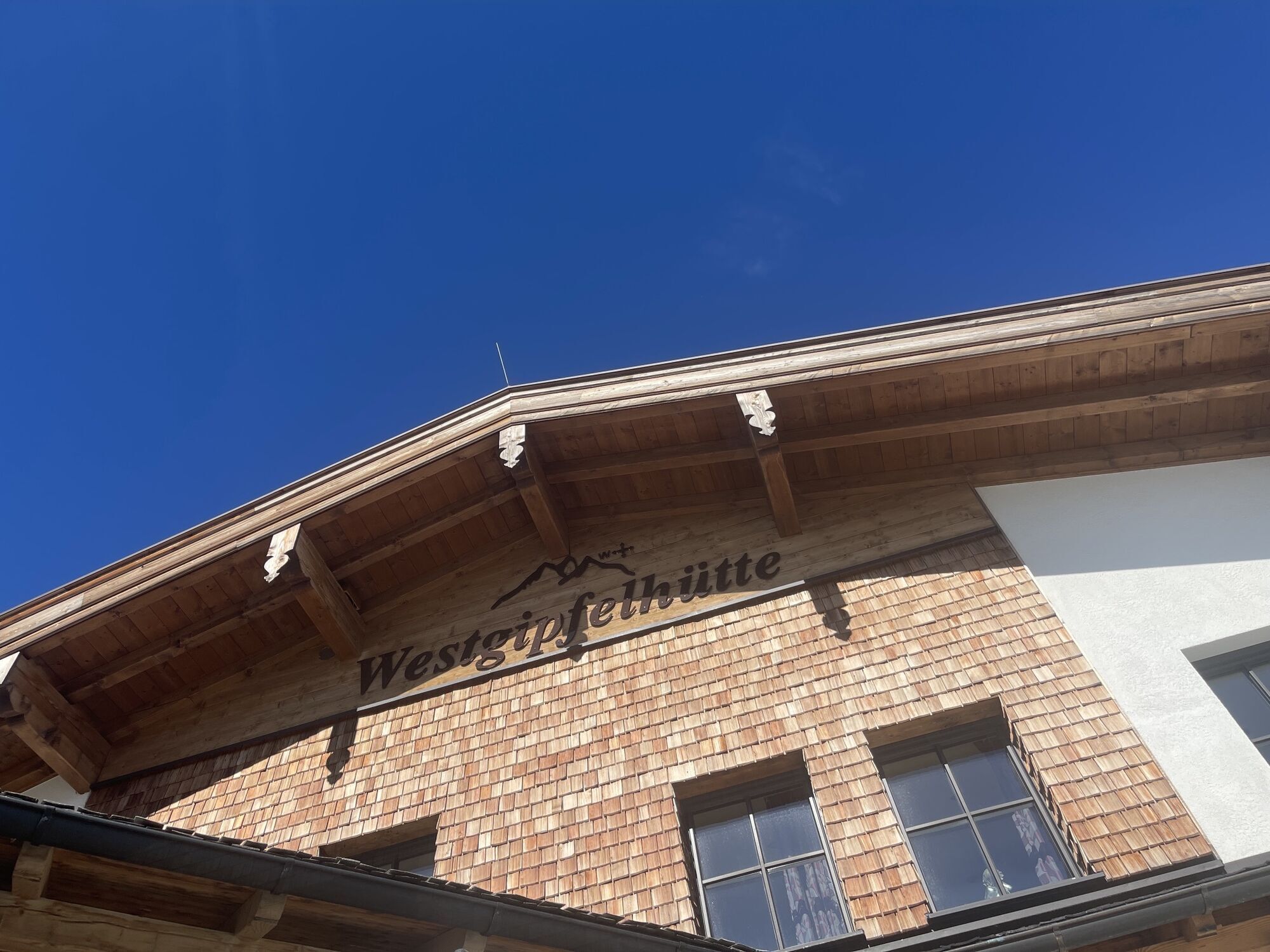
Here follow the signpost to the West summit and on the hiking trail in about 20 minutes to the summit.
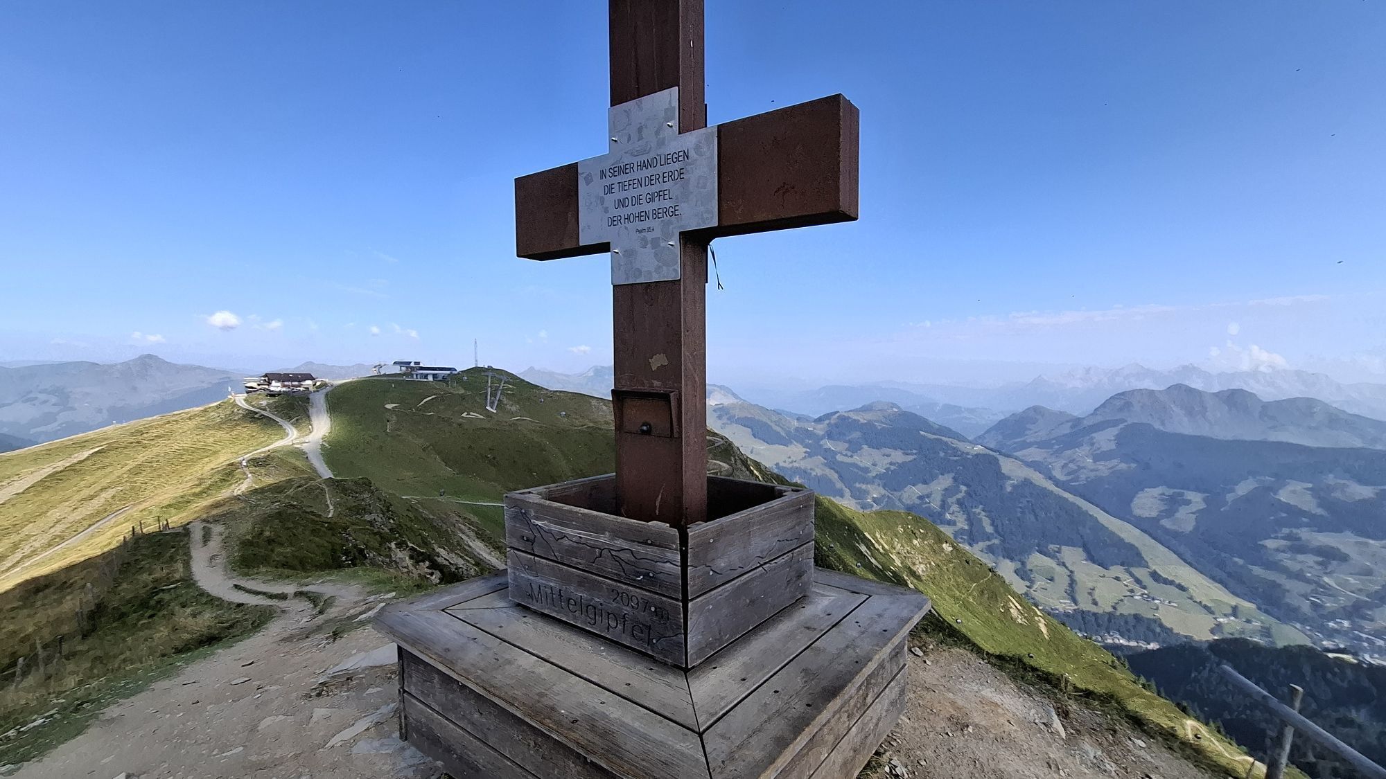
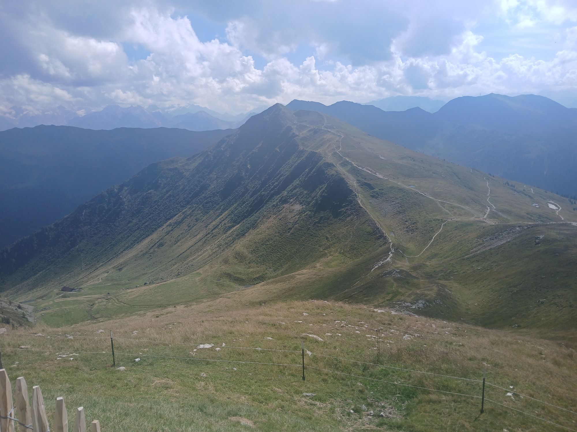
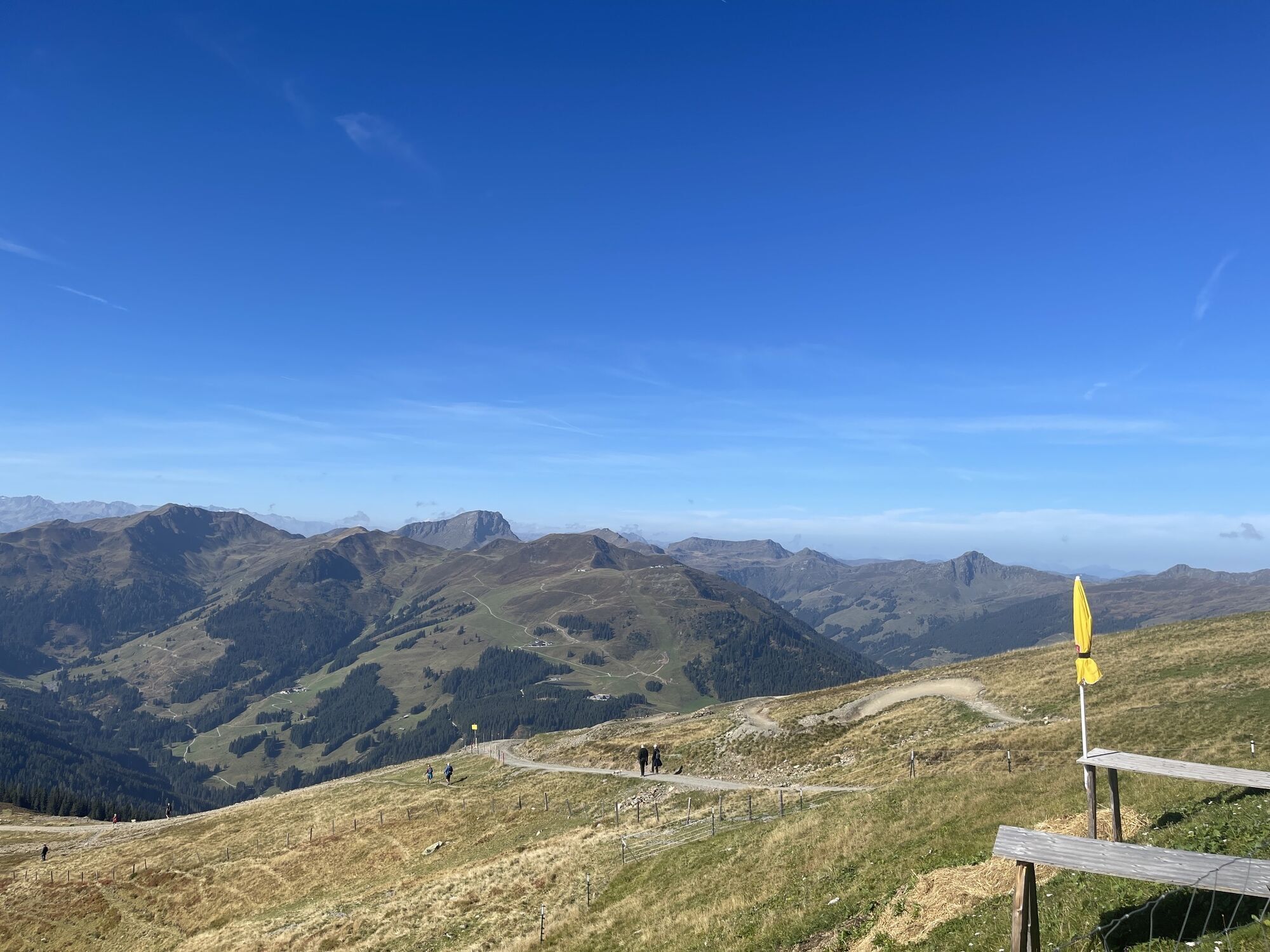
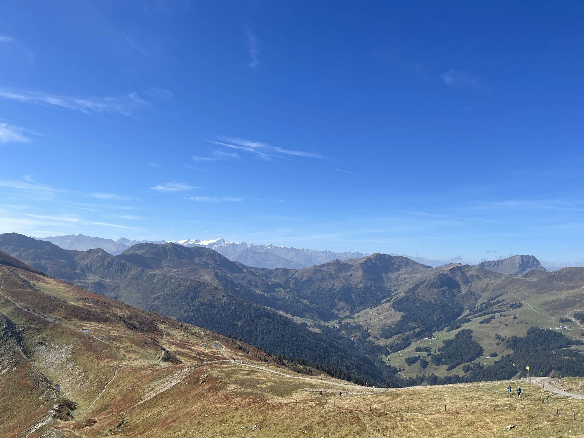
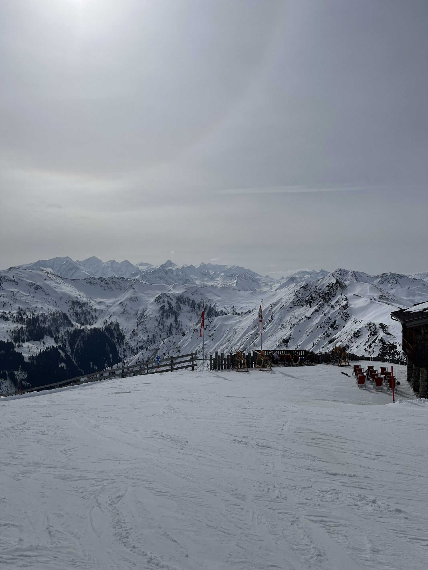
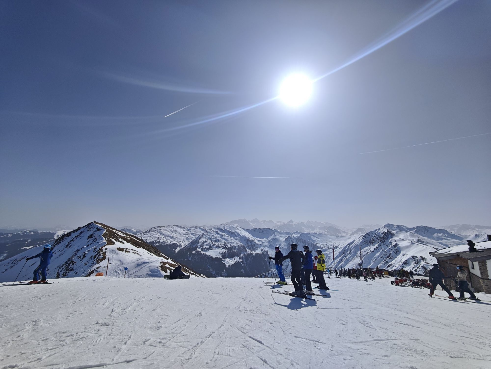
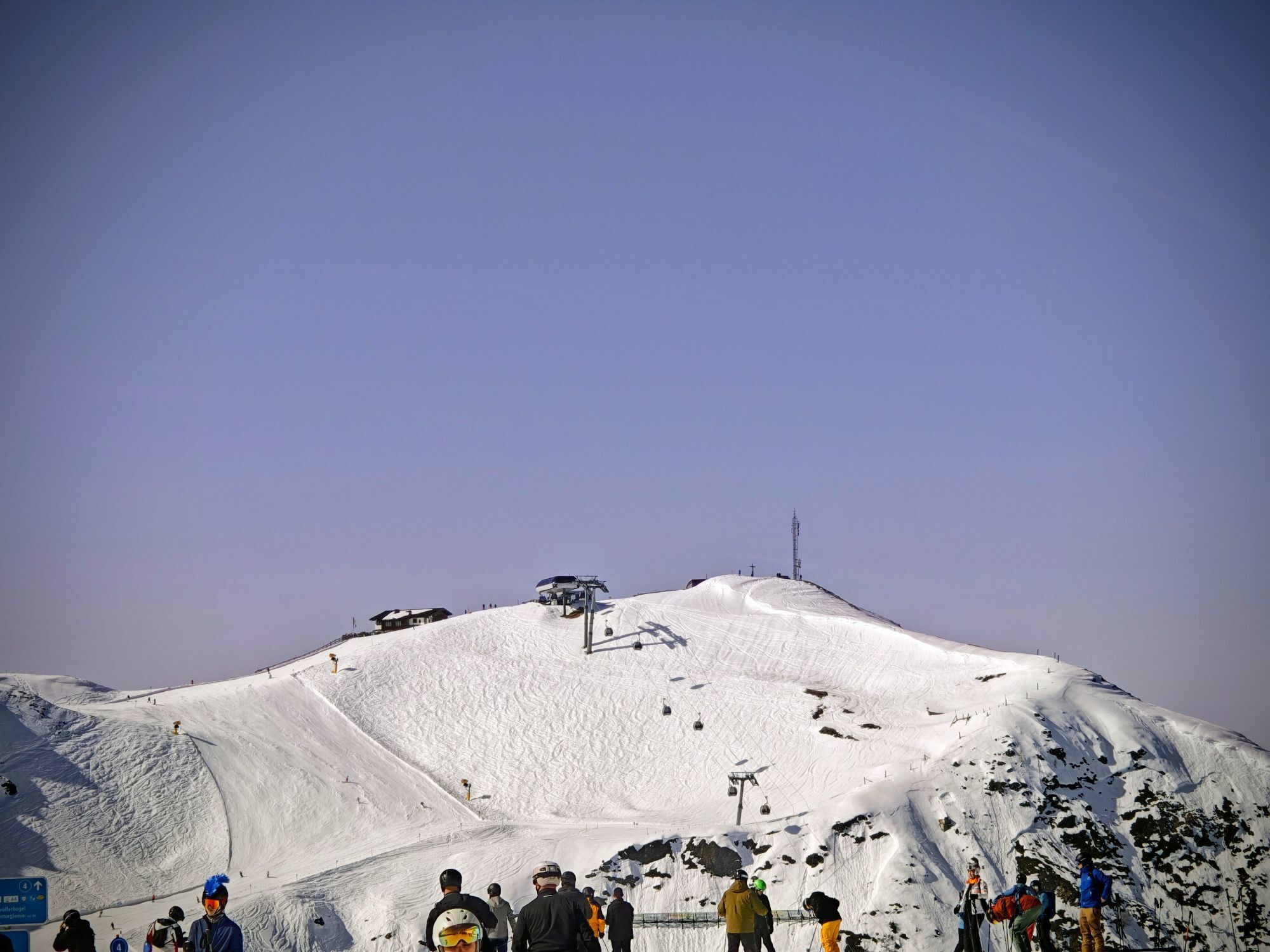
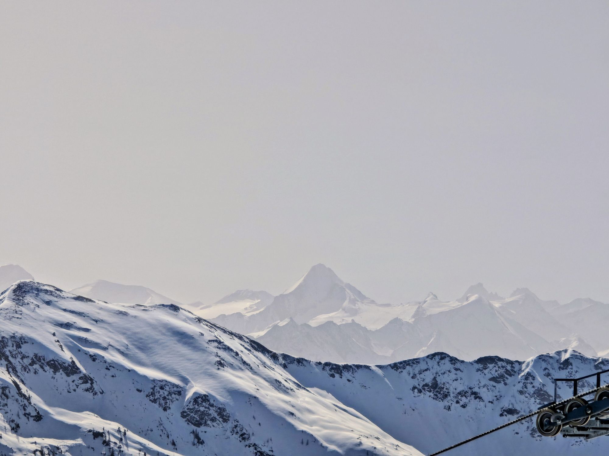
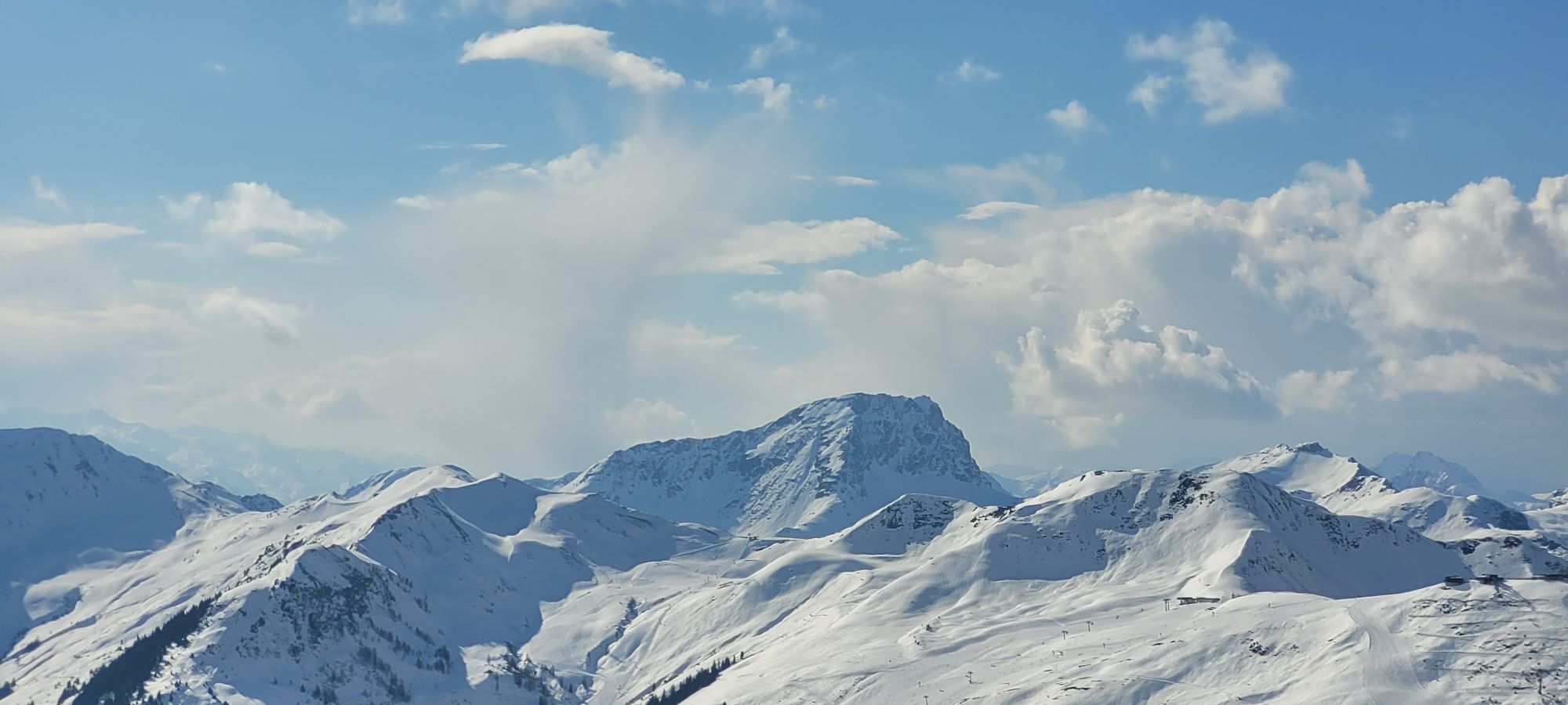
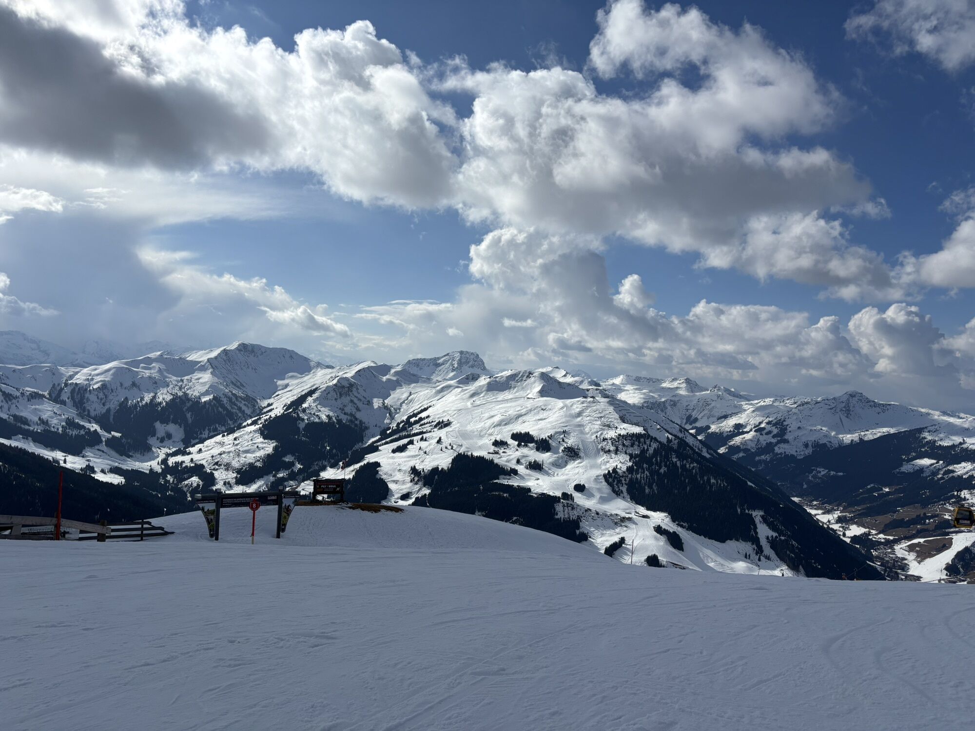
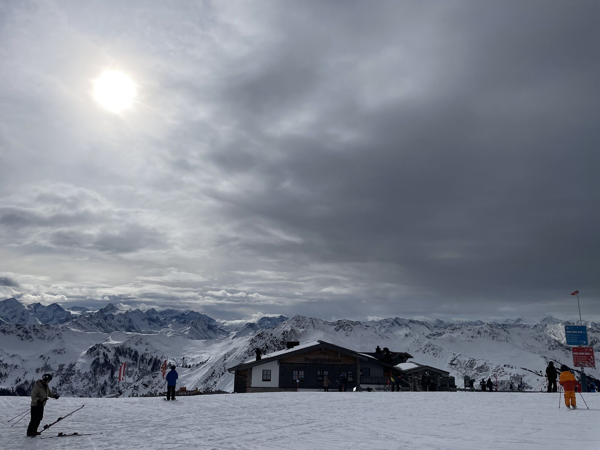
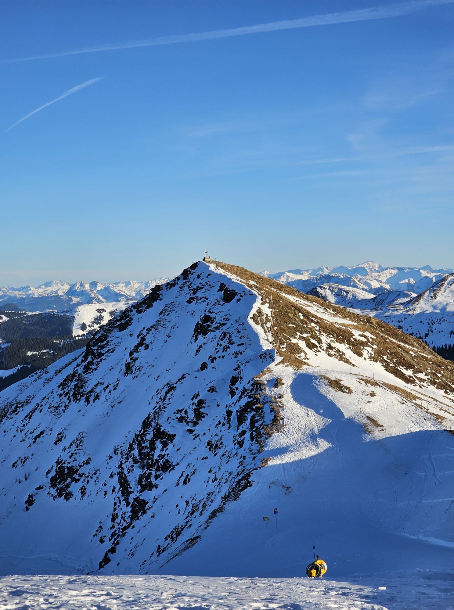
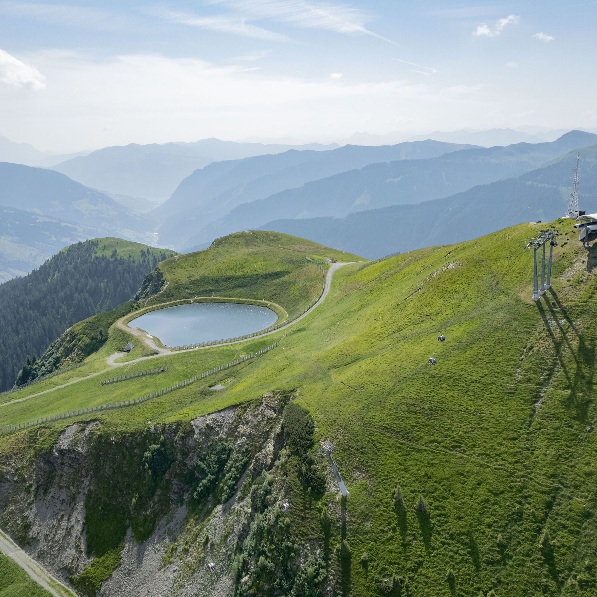
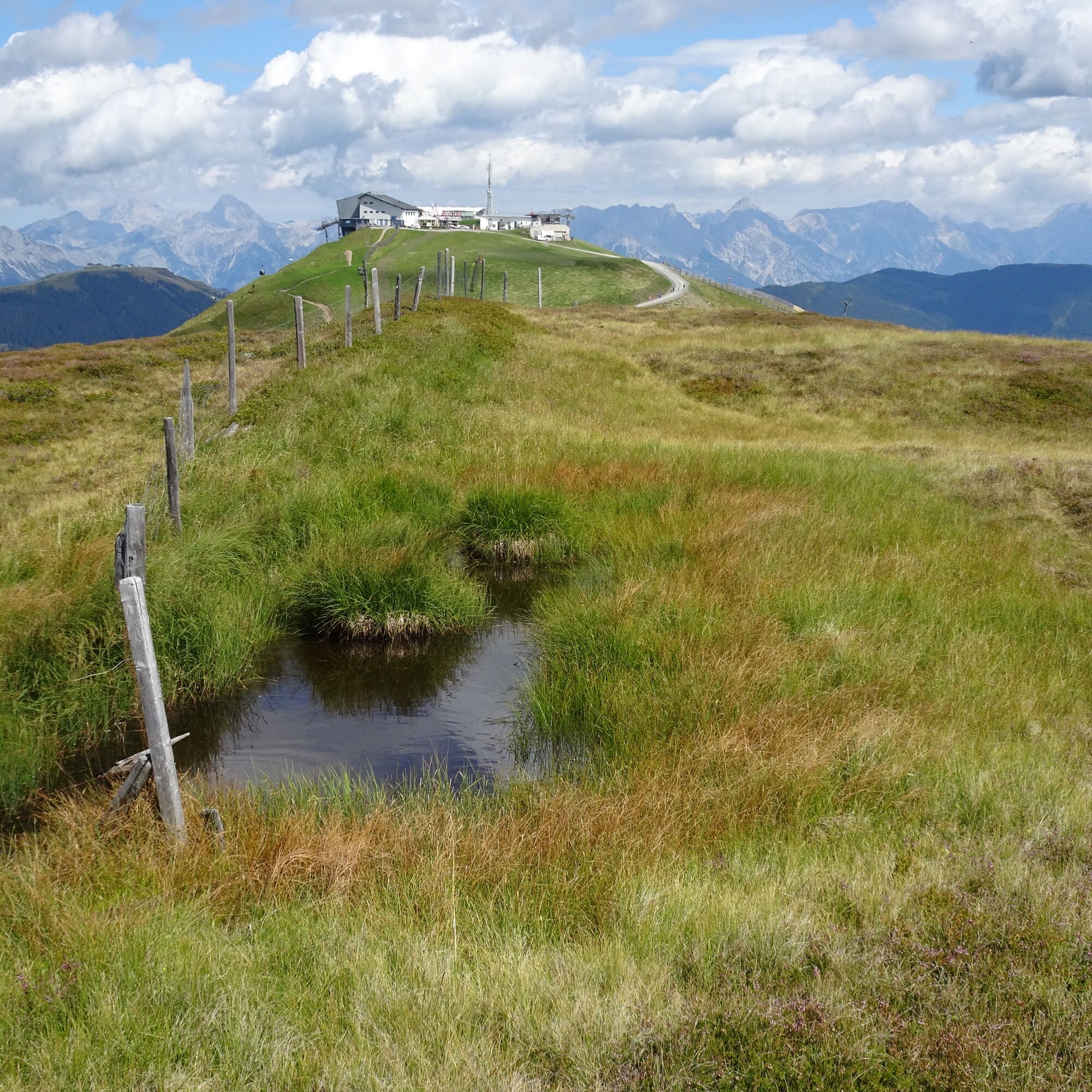
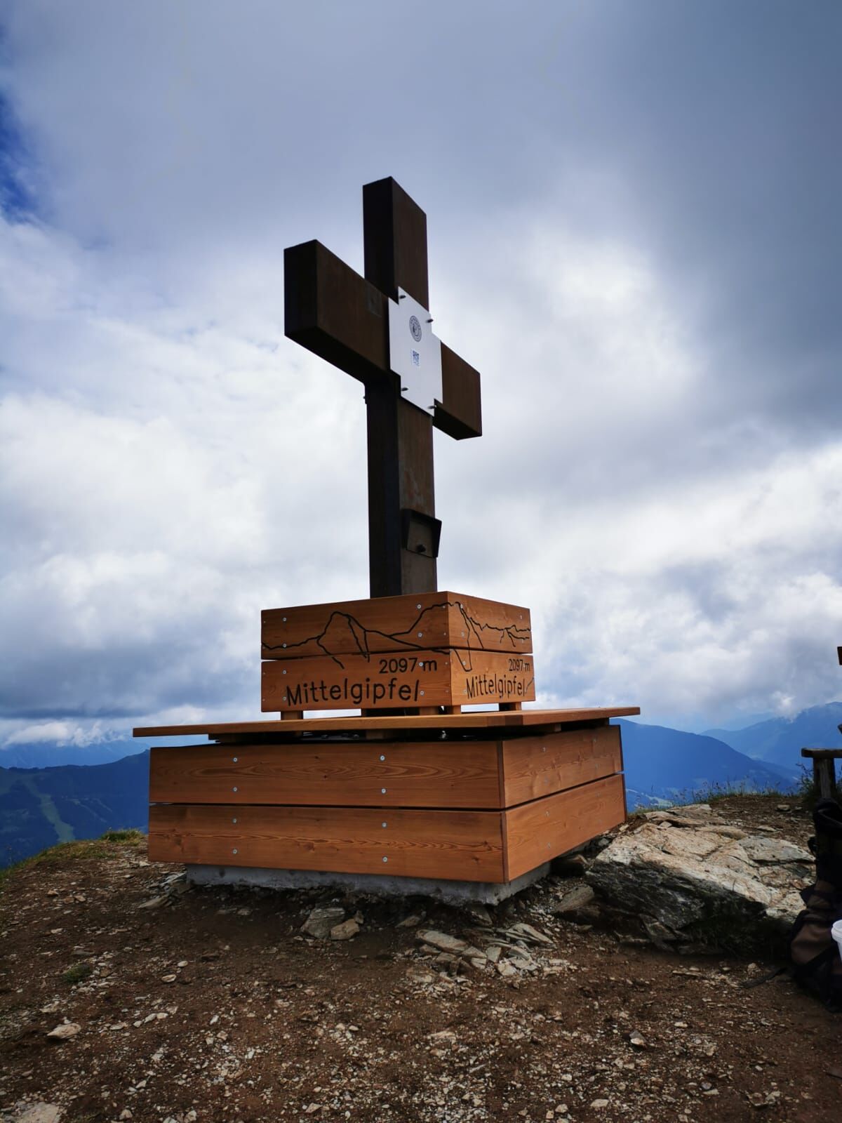
Now past the West summit hut, first into the hollow and then up to the Middle summit with its magnificent panorama.
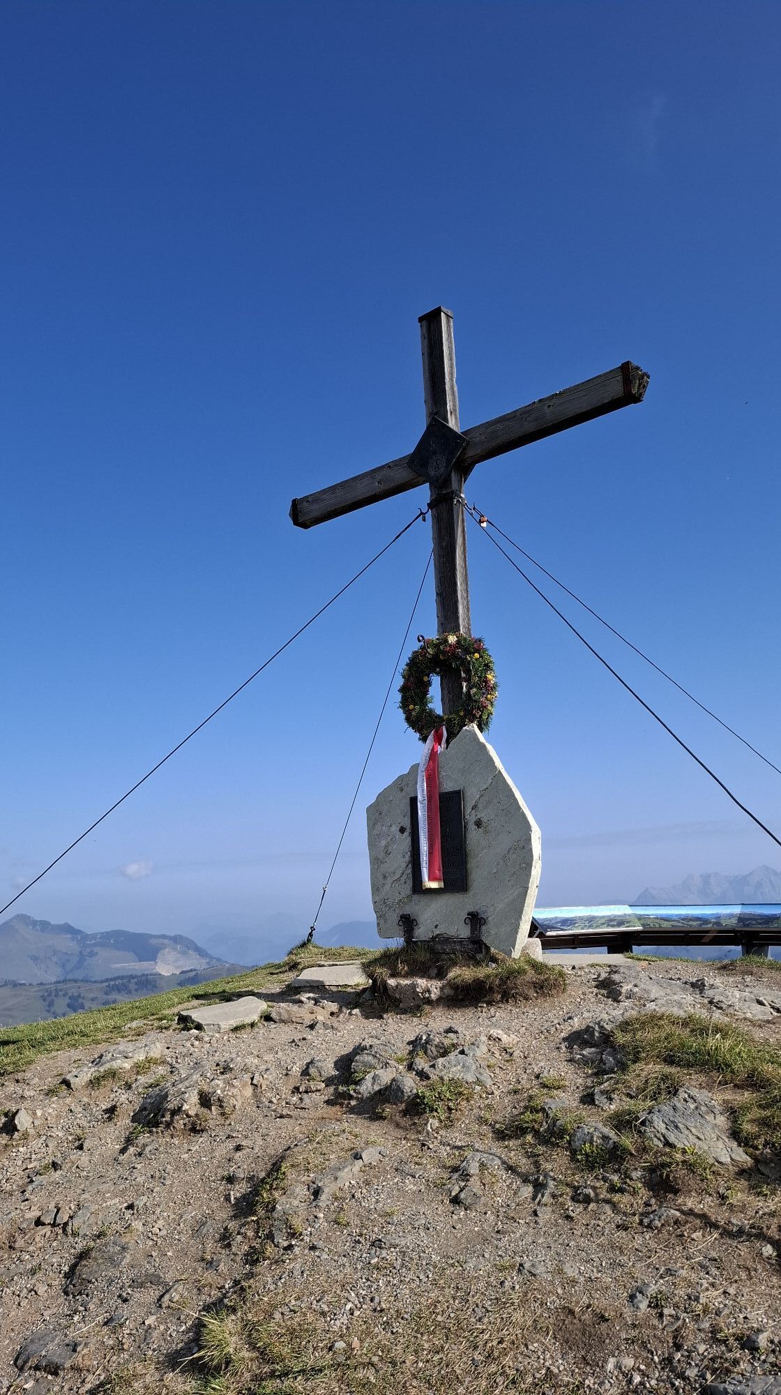
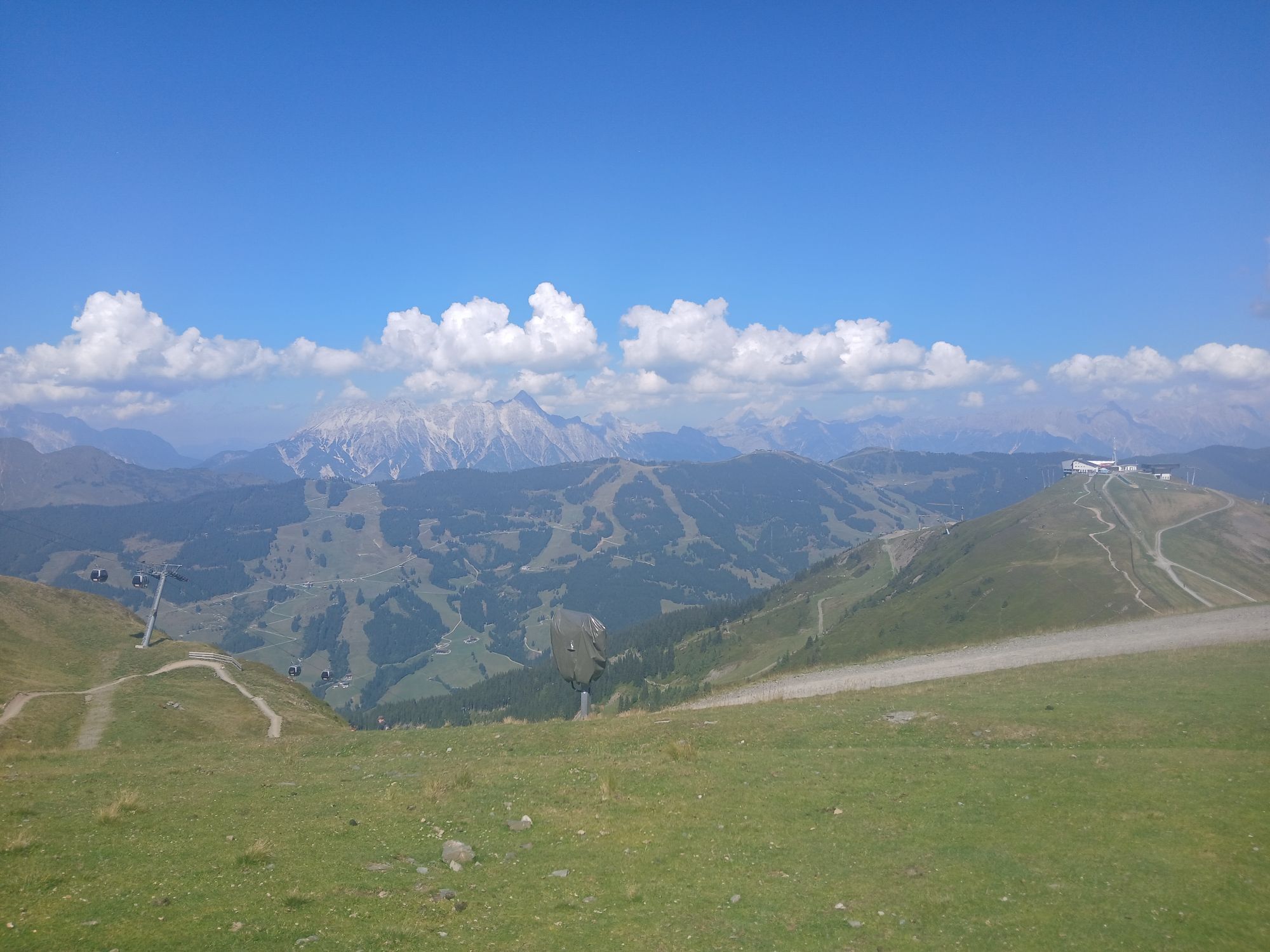
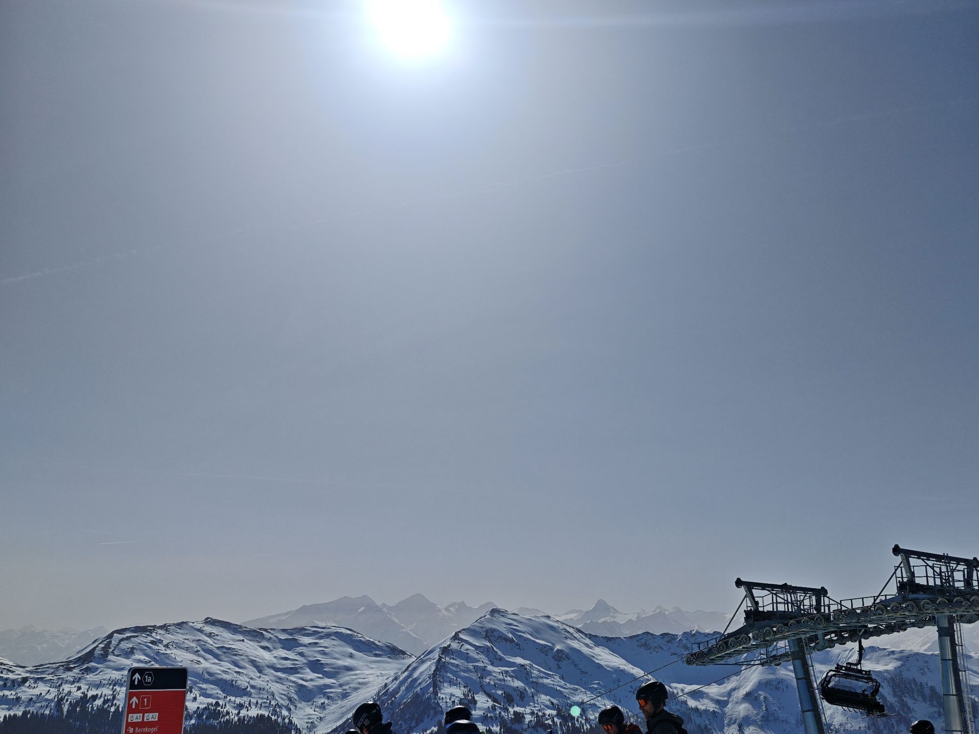
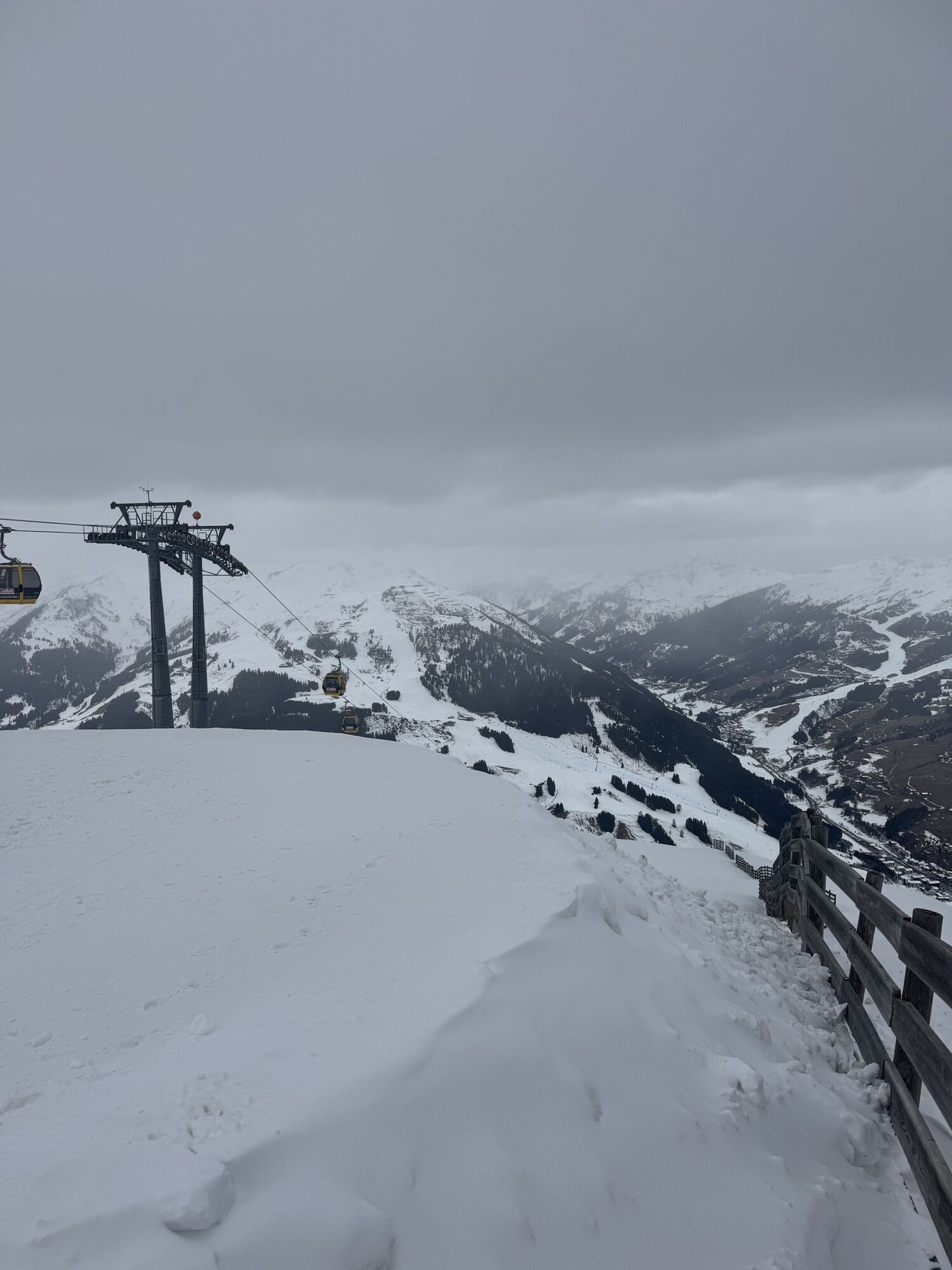
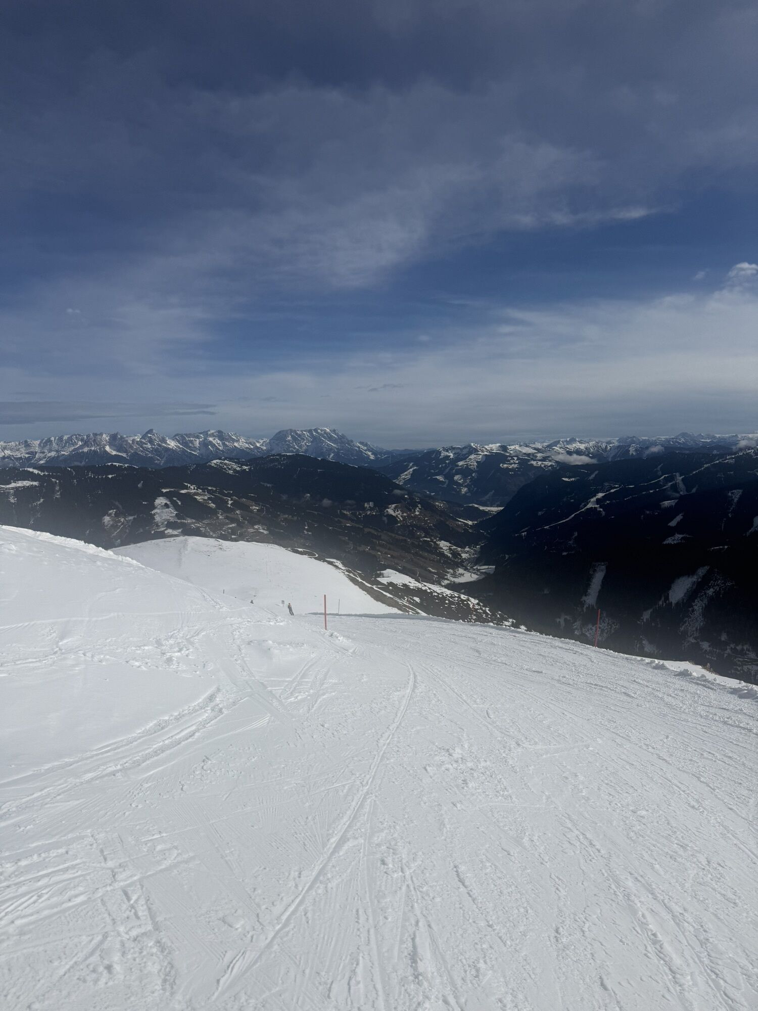
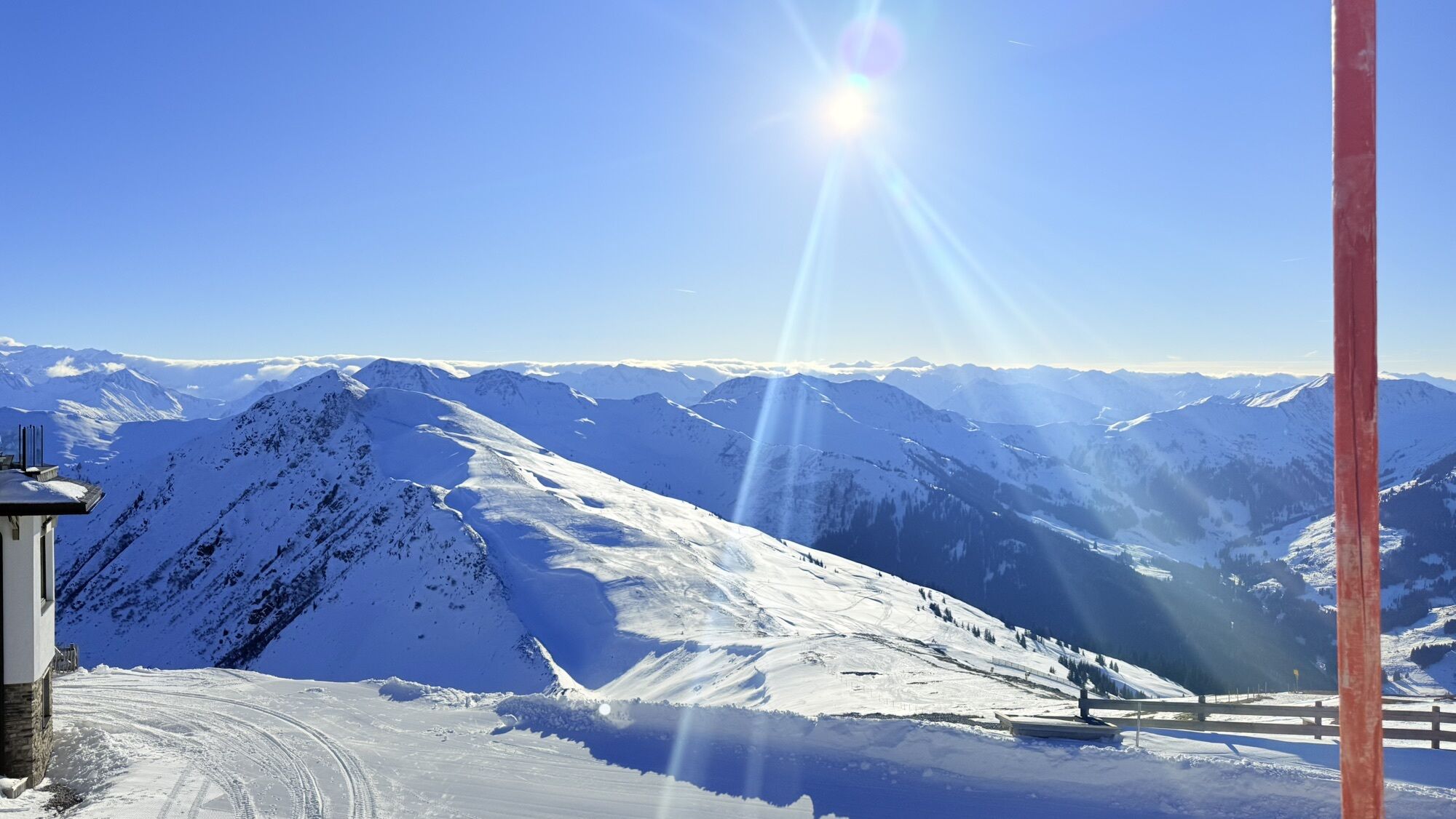
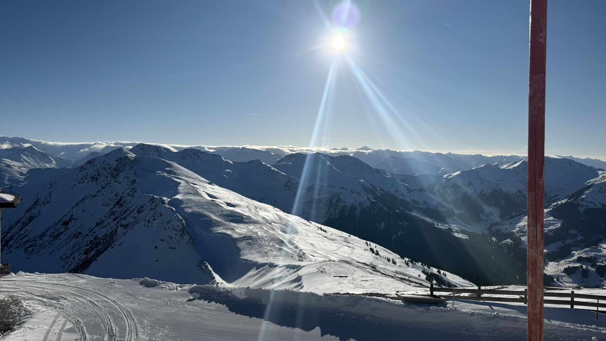
Back to the East summit we first have a somewhat steeper hiking trail, later the forest road to the mountain station with the Skyrest.
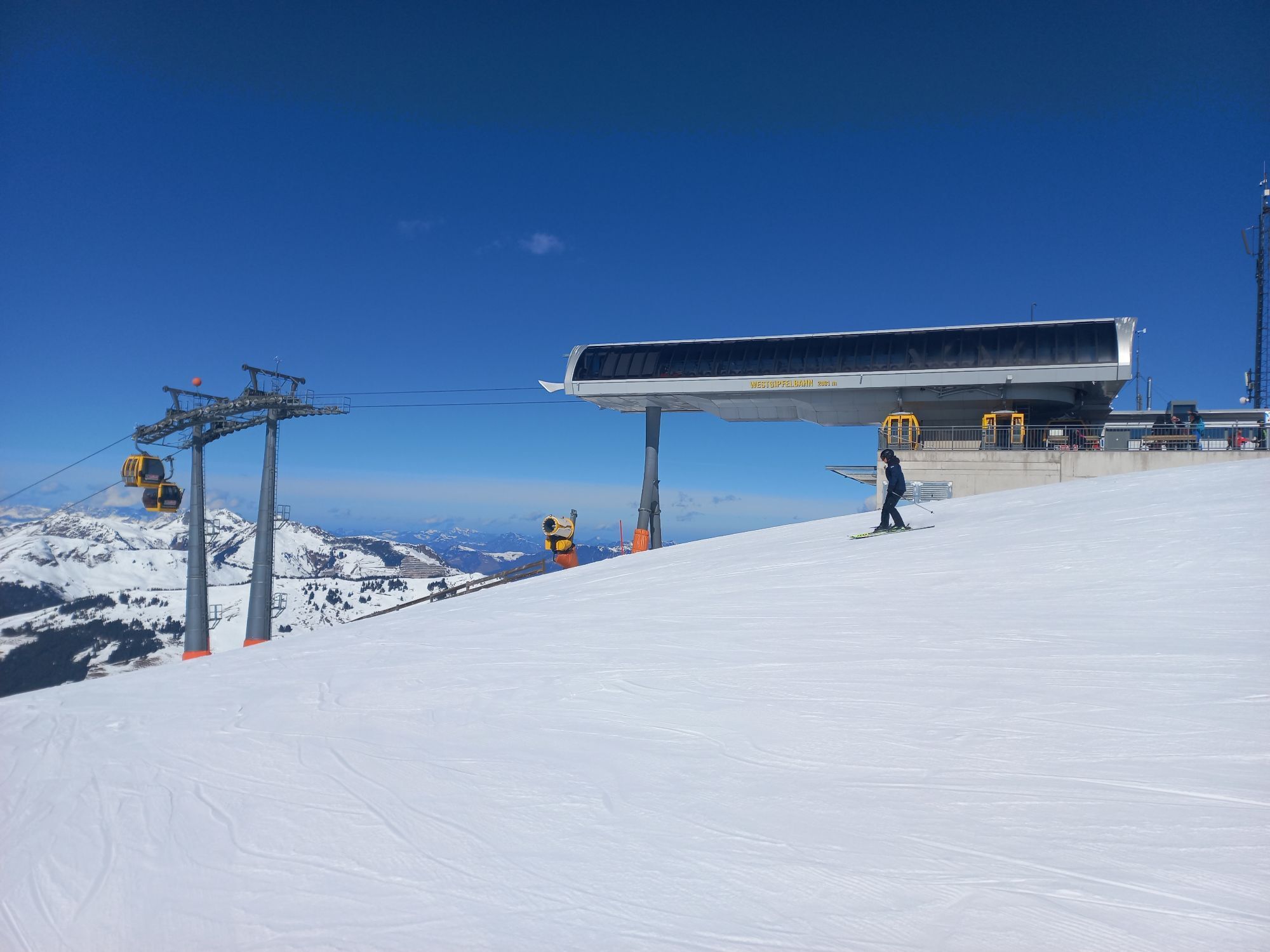
Since the West summit lift is in operation this summer, further variations are possible for this part of the Kids Hiking Challenge:
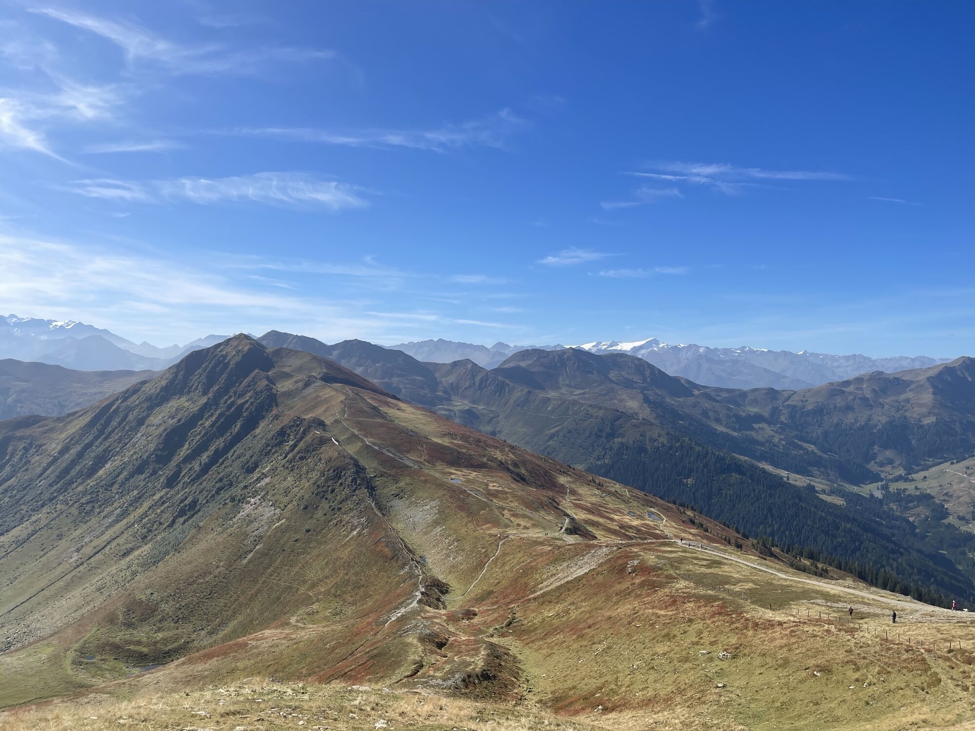
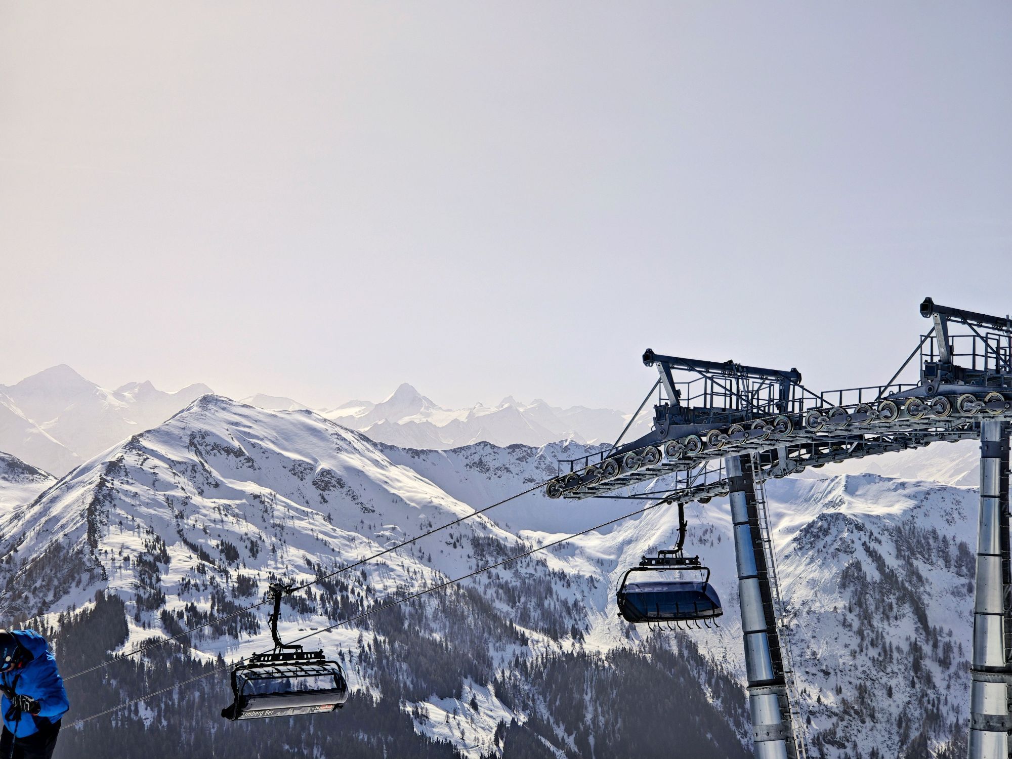
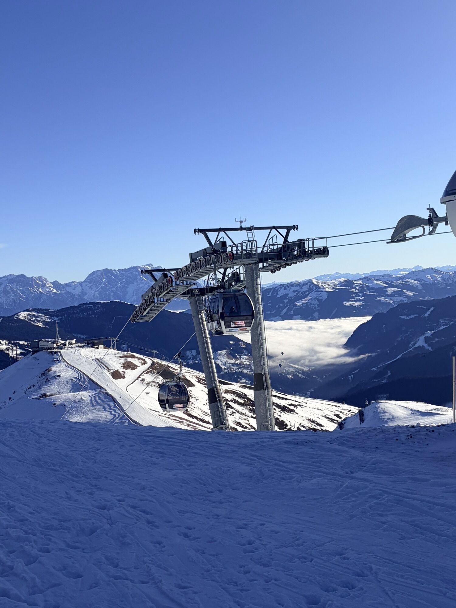
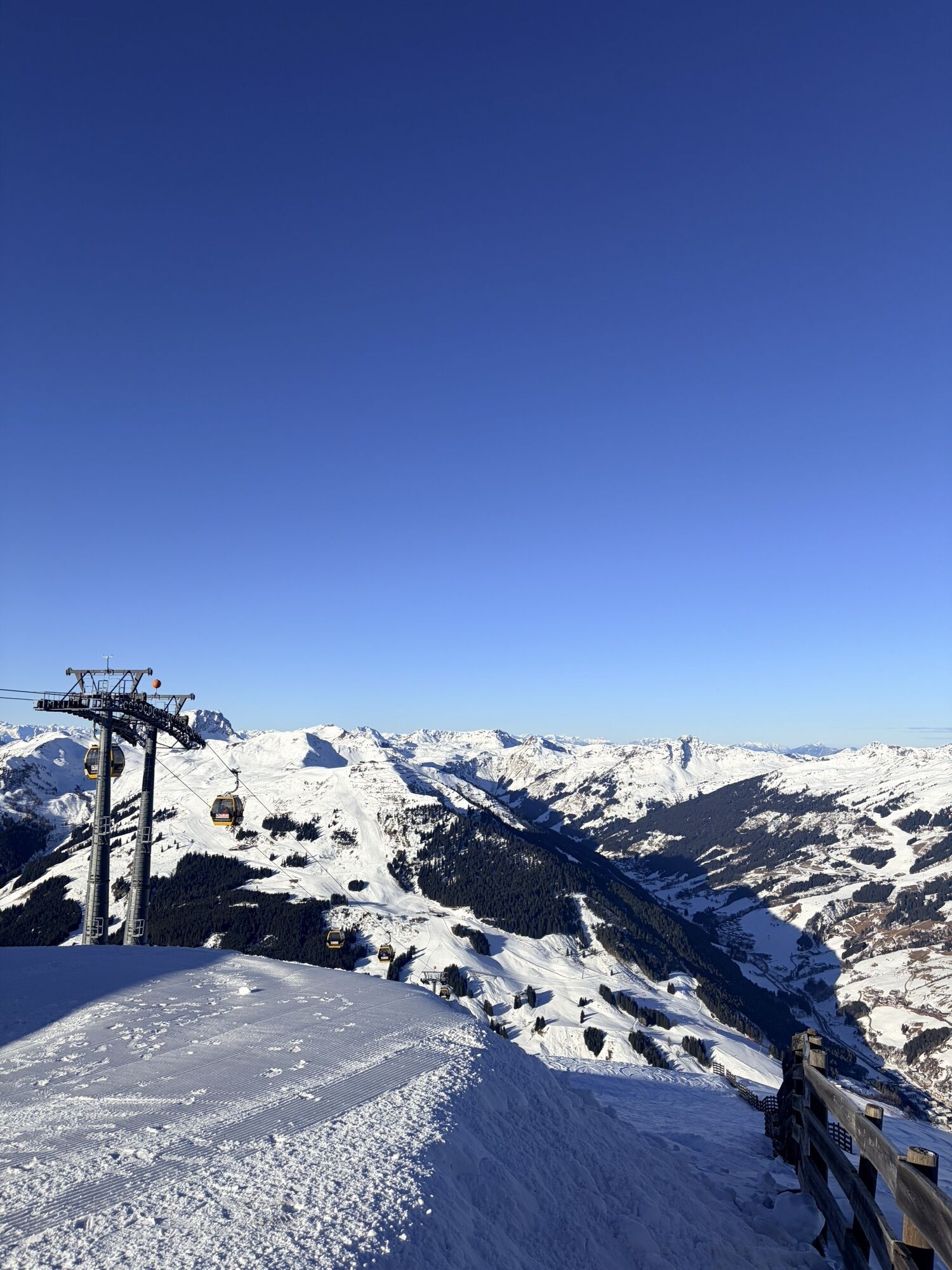
Ascent with the West summit lift - hike to the Middle summit - descent from the Middle summit and on to Schattberg East summit. Either descent with the Schattberg X-press or back to the West summit. The hike is possible clockwise and counterclockwise.
Tak
Tak
Tak
Mountain or hiking boots, rainwear, possibly poles
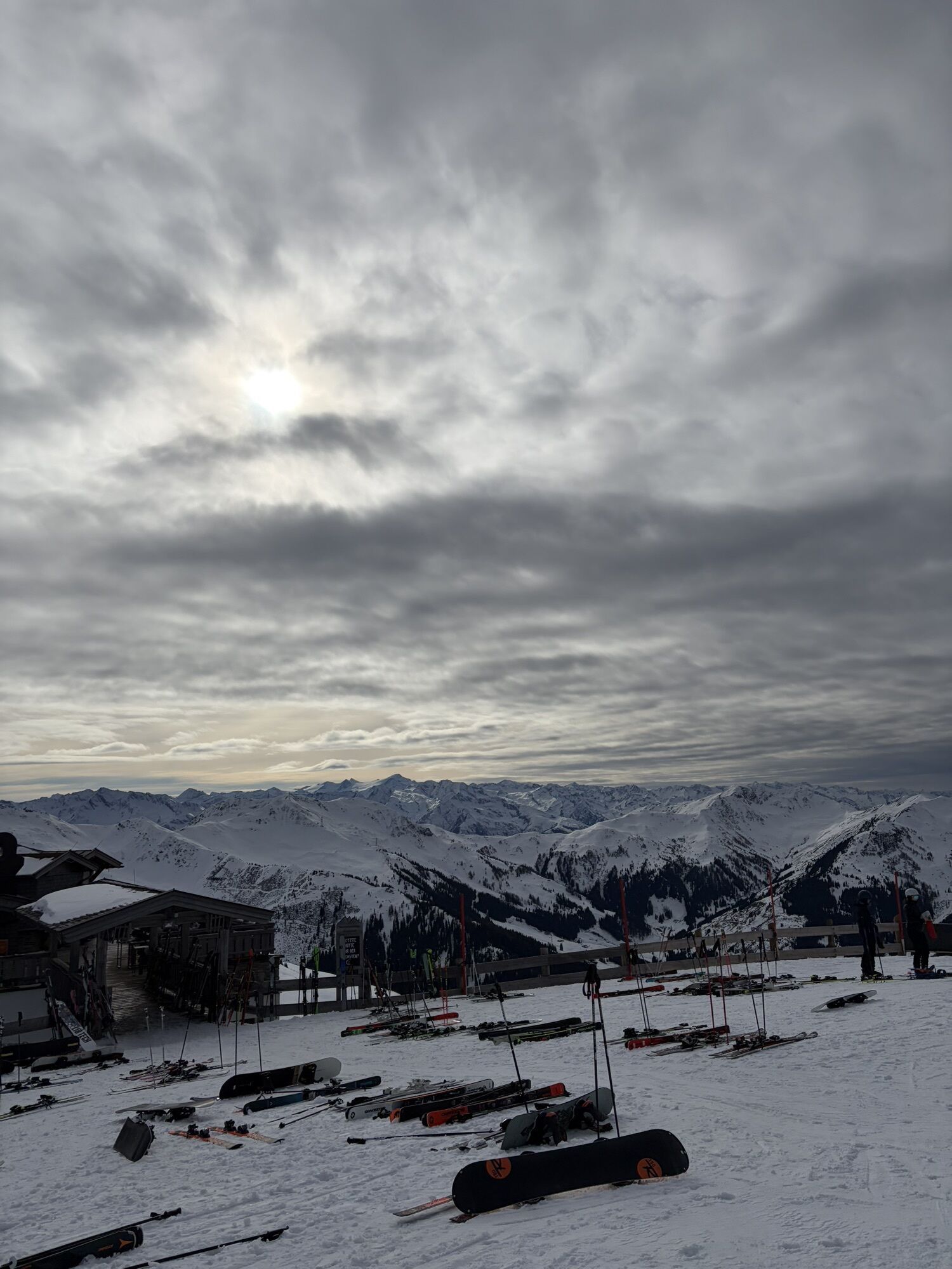
Free parking at Schattberg X-press
Refreshment options at Schattberg East and West
Kamery internetowe z trasy

Popularne wycieczki w okolicy
- 4,8
Sigmund Thun Klamm, Klammsee, Bürgkogel
światłoWędrówka 4,56 km - 4,2
Passauer Hütte
ciężkiWędrówka 4,14 km - 4,5
Birnbachloch Leogang, Österreich
średniWędrówka 5,18 km - 4,0
Maurerkogel (Top)
Wędrówka 10,5 km - 4,5
Sigmund Thun Klamm
światłoWędrówka 3,10 km - 4,9
Hochsonnberg Runde
średniMountainbike 59,8 km - 4,4
Thumersbach, Runde um den Zeller See
światłoWędrówka 13,3 km - 4,6
Lettlkaser
średniWędrówka 4,40 km - 4,0
Berg der Sinne
światłoWędrówka 4,39 km - 5,0
Panorama route 3 peaks and 2 lakes
średniWędrówka 7,21 km
Wędrówki i tropienie


Nie przegap ofert i inspiracji na następne wakacje
Twój adres e-mail została dodana do listy mailingowej.