



MTB route - Large St. Veit circuit (Route 2)

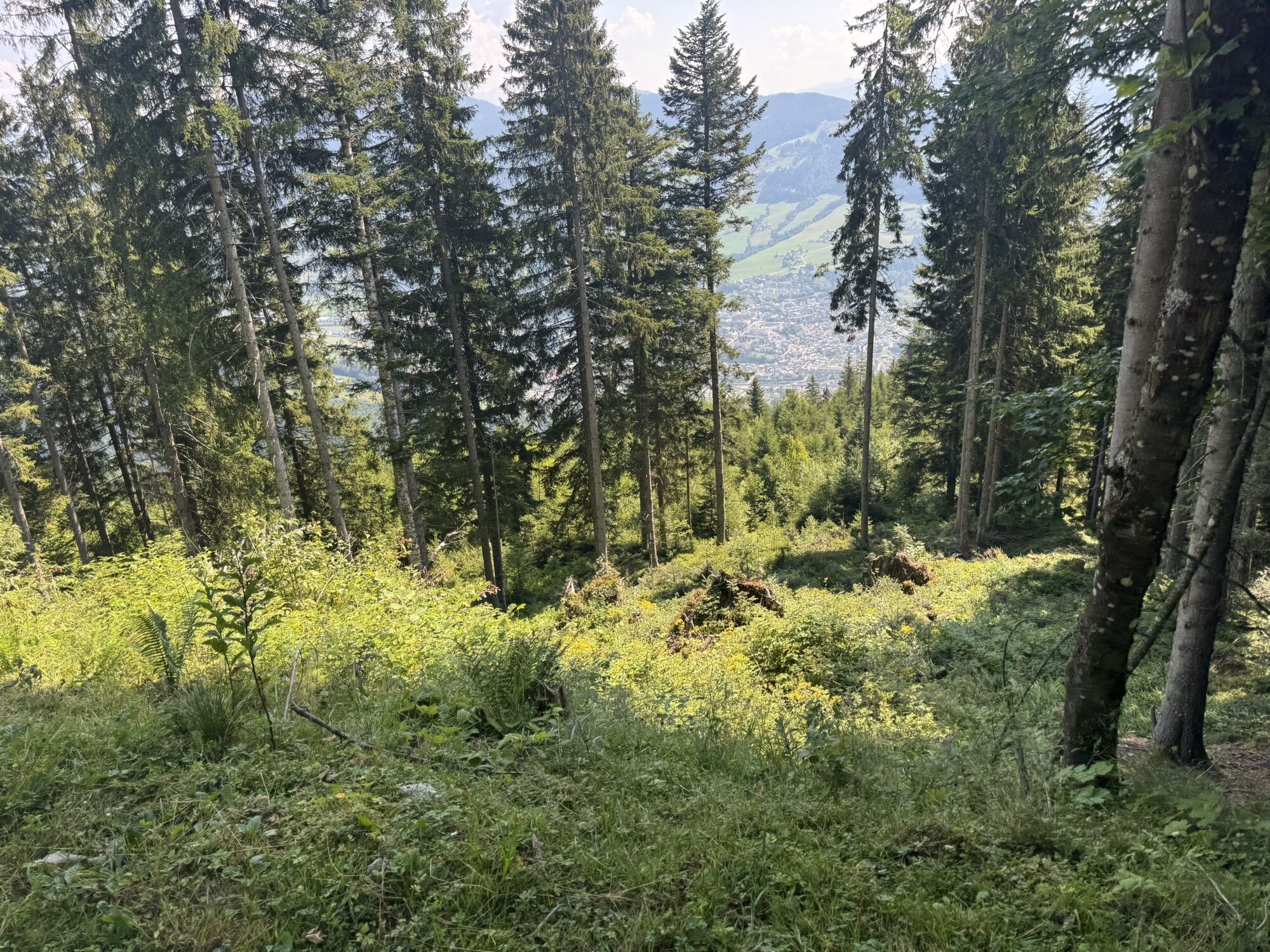
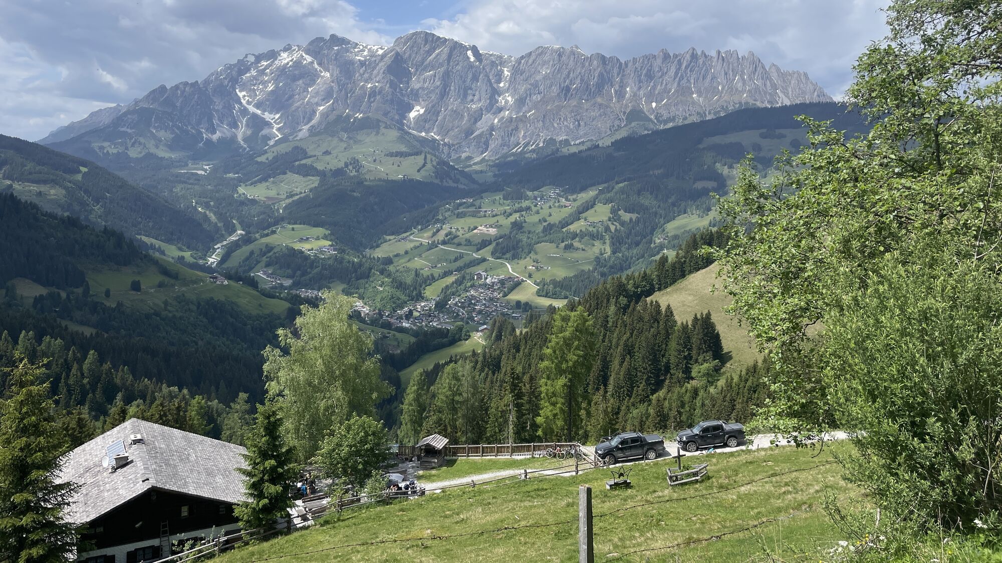
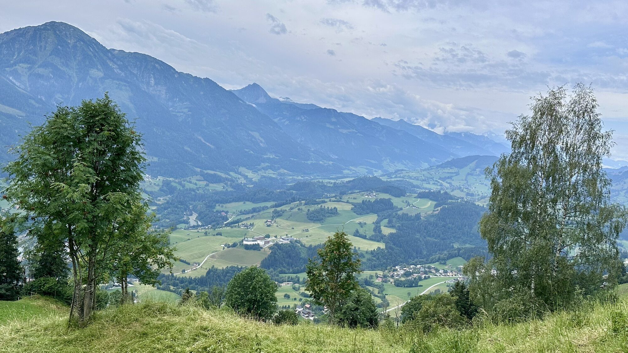
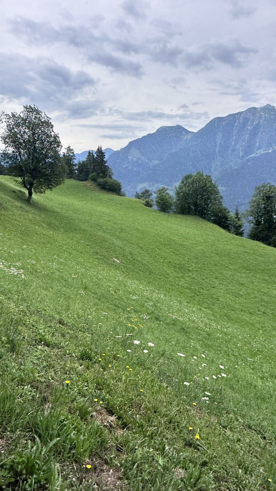
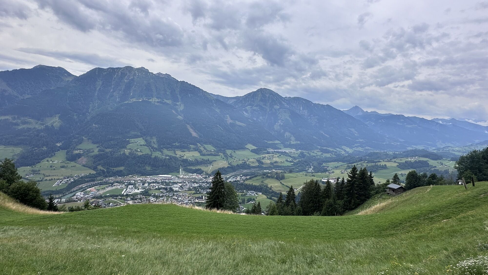
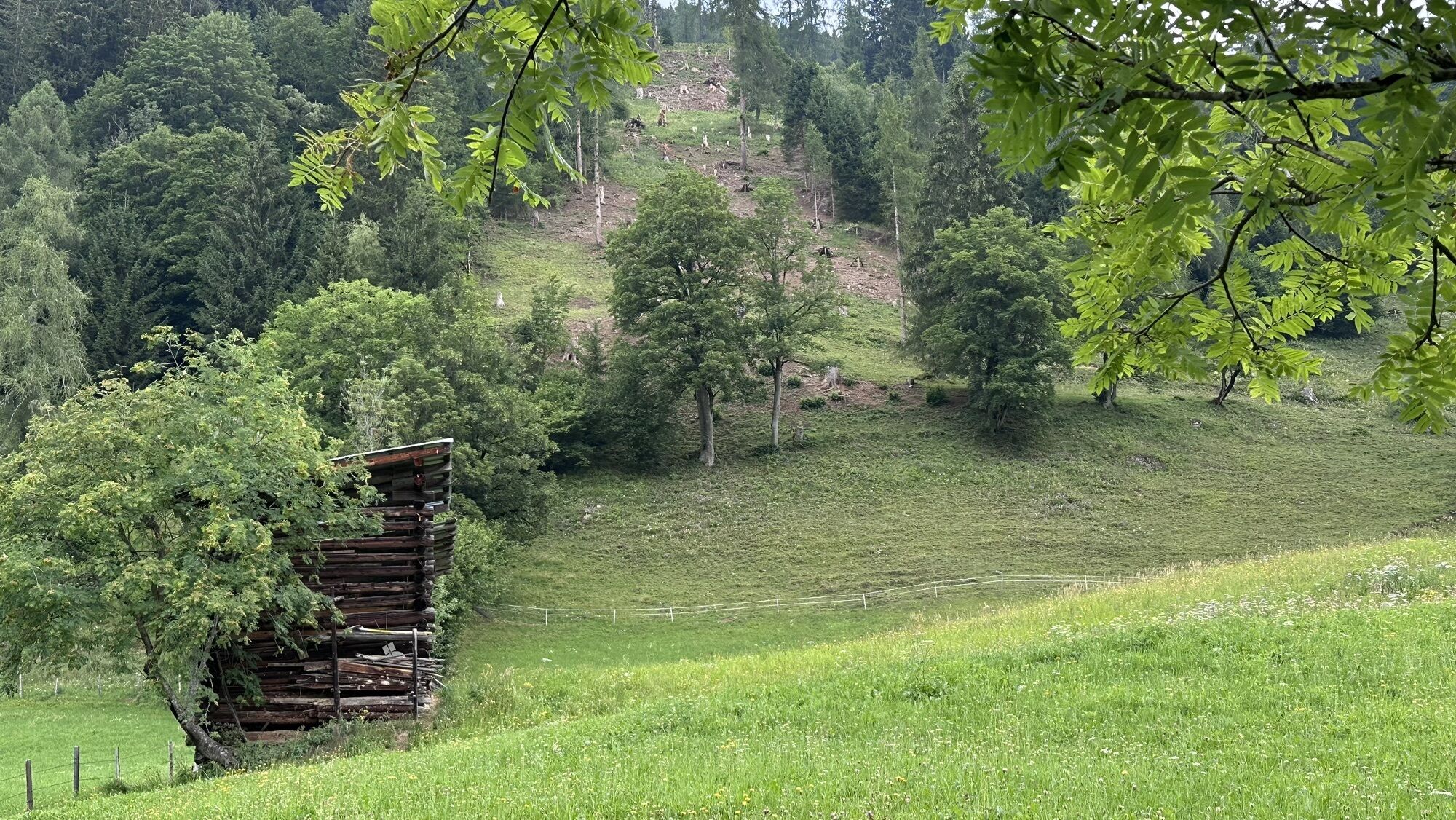
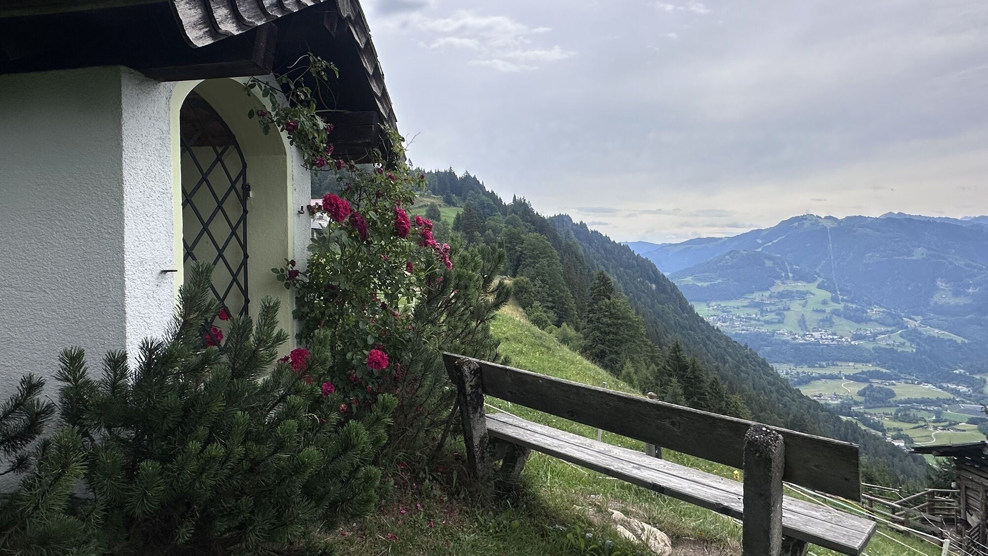
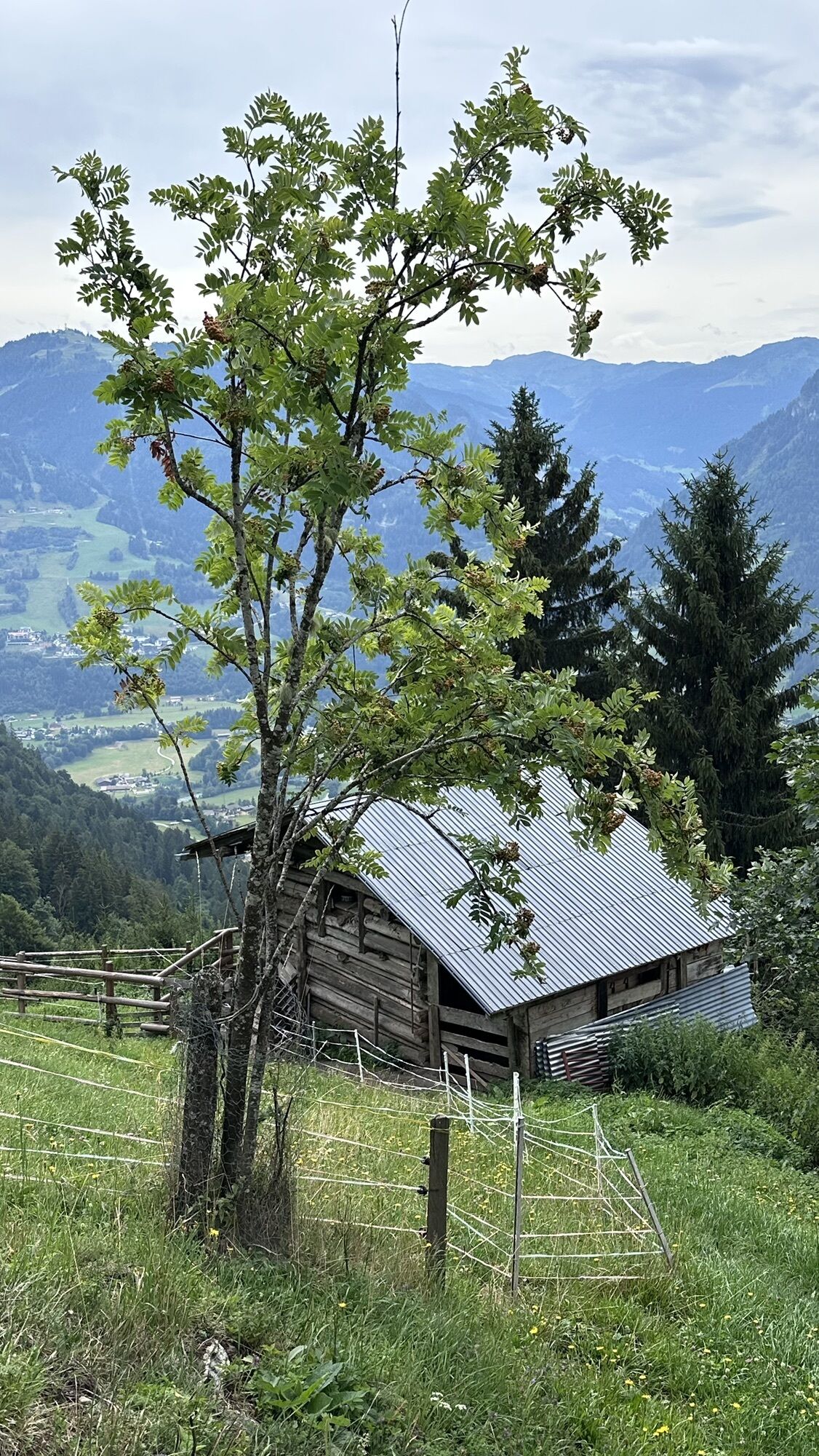


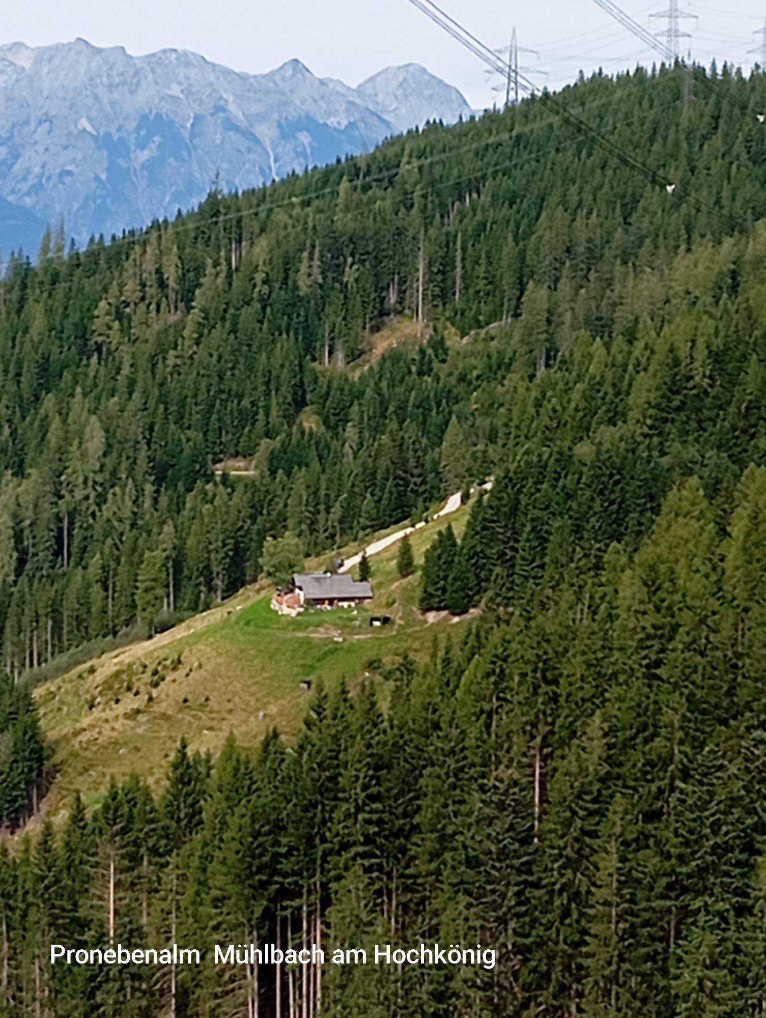

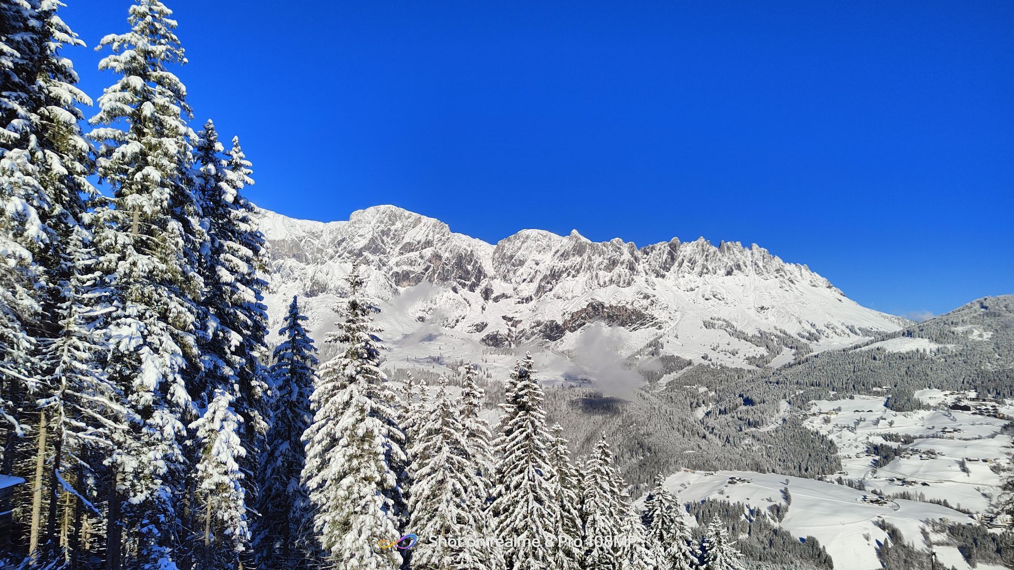
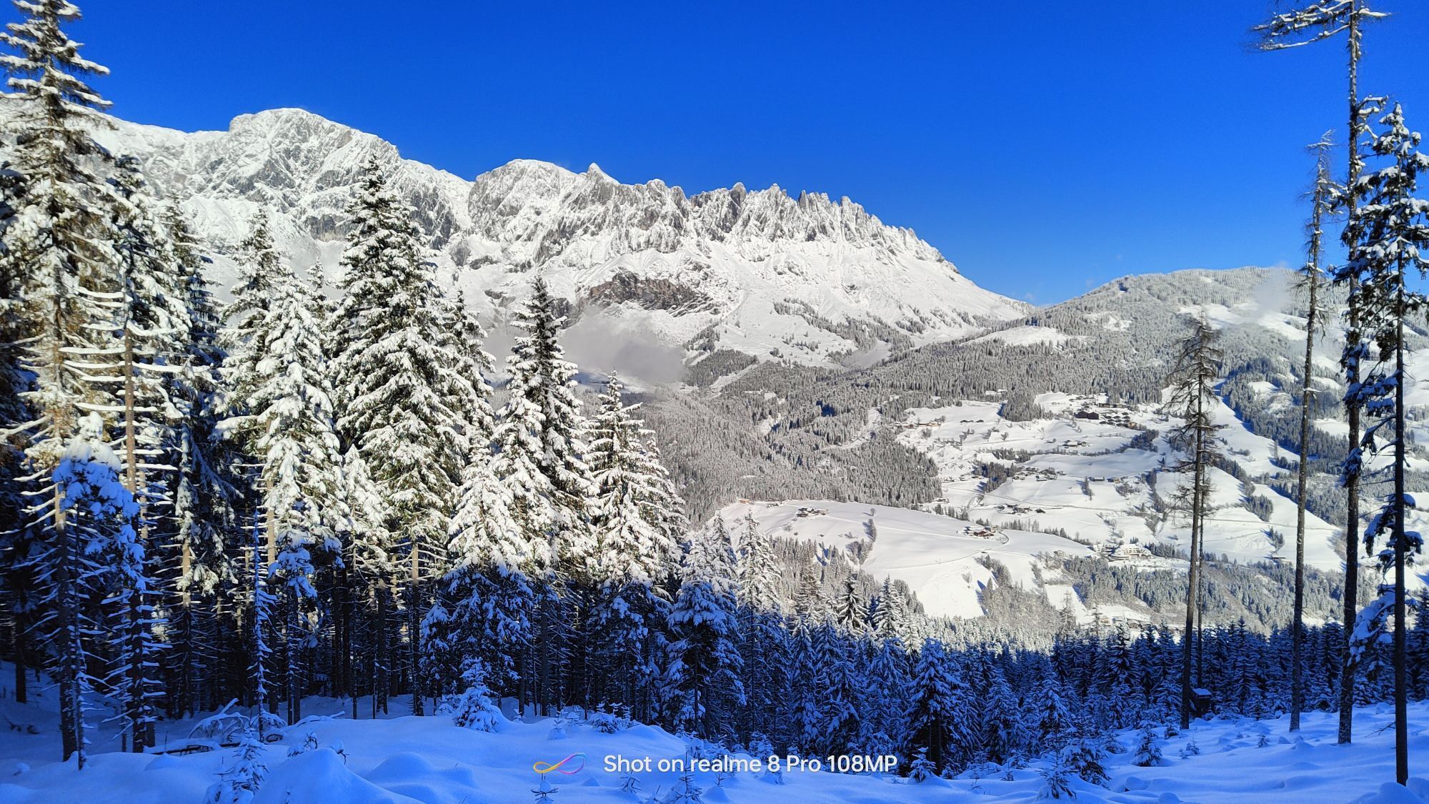

Experience an unforgettable route full of impressive views, sporting challenges and well-deserved moments of enjoyment! From the center of Mühlbach, start your journey through picturesque alpine meadows,...
Experience an unforgettable route full of impressive views, sporting challenges and well-deserved moments of enjoyment! From the center of Mühlbach, start your journey through picturesque alpine meadows, past traditional farms, and up to impressive viewpoints. The climb to Althaus Sattel demands your fitness but rewards you with breathtaking views and at the latest at the Pronebenalm you can enjoy a well-deserved break with regional specialties. Whether rapid downhill or relaxed alpine idyll – this route has everything your cyclist's heart desires!



From the center of Mühlbach, cycle along the federal road (B164) towards Dienten. After about 900 m, turn left towards Schlöglberg. This farm track leads you past the Reith-Gut continuing to the "Brennerlehen". Just before the farmhouse, the path turns right towards Brennerköpfl. Via a wide forestry road, you reach the Althaus Sattel, where there is one more steep climb up to the Hubertus Chapel. At the fork, continue straight towards St. Veit. Now it goes quickly downhill. At the junction with the large wayside cross, turn left onto the path to Kinderalm. It goes uphill again, and the prospect of a break at the Pronebenalm inspires you. Once there, you can relax and refresh yourself. From the Pronebenalm, continue along the farm track "Bliem" to the federal road (B164), which leads you back to the starting point.
Checked bike equipment with helmet
Sunglasses
Sunscreen
Rain protection
Drinks and a small snack
Necessary medications
First aid kit
Bike map
Fair play!
Only ride on marked paths! Close all gates, barriers and pasture gates! Observe the traffic regulations! Only overtake at walking pace! Behave respectfully towards other nature users and forestry and hunting staff! Take care of animals! Leave no litter in nature! Act responsibly! Weather forecasts: Observe the current weather conditions at: zamg.at or www.uwz.at.Emergency numbers: Alpine emergency call: 140, International emergency call: 122, Rescue: 144
Hochkönig federal road B164
Parking lot opposite the fire station.
More information about bike routes and activities in the Hochkönig region:
For detailed information about hiking maps, opening hours of mountain railways, as well as huts and alpine pastures in summer, we recommend visiting the local service center. There you will get not only the hiking map but also valuable tips on the best hiking routes and current conditions.
Summer opening hours of the mountain railways: The mountain railways offer various opening hours during summer months, which may vary depending on weather and season. Please check the current operating times in advance.
Opening hours of huts & alpine pastures in summer: The huts and alpine pastures in the region are ideal resting places for hikers. Opening hours may also vary depending on the season and day of the week. Let the friendly hosts advise you about the offers and specialties on site.
For more information, please visit our website: www.hochkoenig.at.
If you have questions or need specific information, feel free to contact us:
Email: region@hochkoenig.at
Phone: +43 (0)6584 20388
We look forward to helping you and wish you much fun exploring the beautiful hiking region Hochkönig!
Nice and demanding bike route with a detour to St. Veit! This circuit offers a perfect mix of flowing trails and technical sections. On the way, challenging climbs await you, pumping up the adrenaline.

Kamery internetowe z trasy


Popularne wycieczki w okolicy
-
4,9
Großarl: Heukareck
średniWędrówka 12,5 km -
4,9
Summit stormer route Lauskopf
ciężkiWędrówka 8,16 km -
4,8
Großarl: Himmelsroute
średniWędrówka 5,41 km -
4,8
Summit storming route Taghaube
ciężkiWędrówka 6,25 km -
4,7
About the "Four Huts circular route" to Windraucheggalm
średniWędrówka 10,1 km -
3,7
Wanderung zur Ostpreußenhütte in Werfen (1.630 m)
średniWędrówka 11,2 km -
4,7
Großarl: Mooslehenalm – Niggeltalalm – Viehhausalm
średniWędrówka 5,44 km -
4,6
Panorama hike to the Hochkeil
średniWędrówka 6,07 km -
4,6
Grießenkareck
średniWędrówka 4,89 km -
5,0
Großarl: Mooslehenalm - Höllwand - Heukareck - Niggeltalalm
ciężkiWędrówka 13,2 km
Wędrówki i tropienie


Nie przegap ofert i inspiracji na następne wakacje
Twój adres e-mail została dodana do listy mailingowej.


