







Summit stormer route Lauskopf
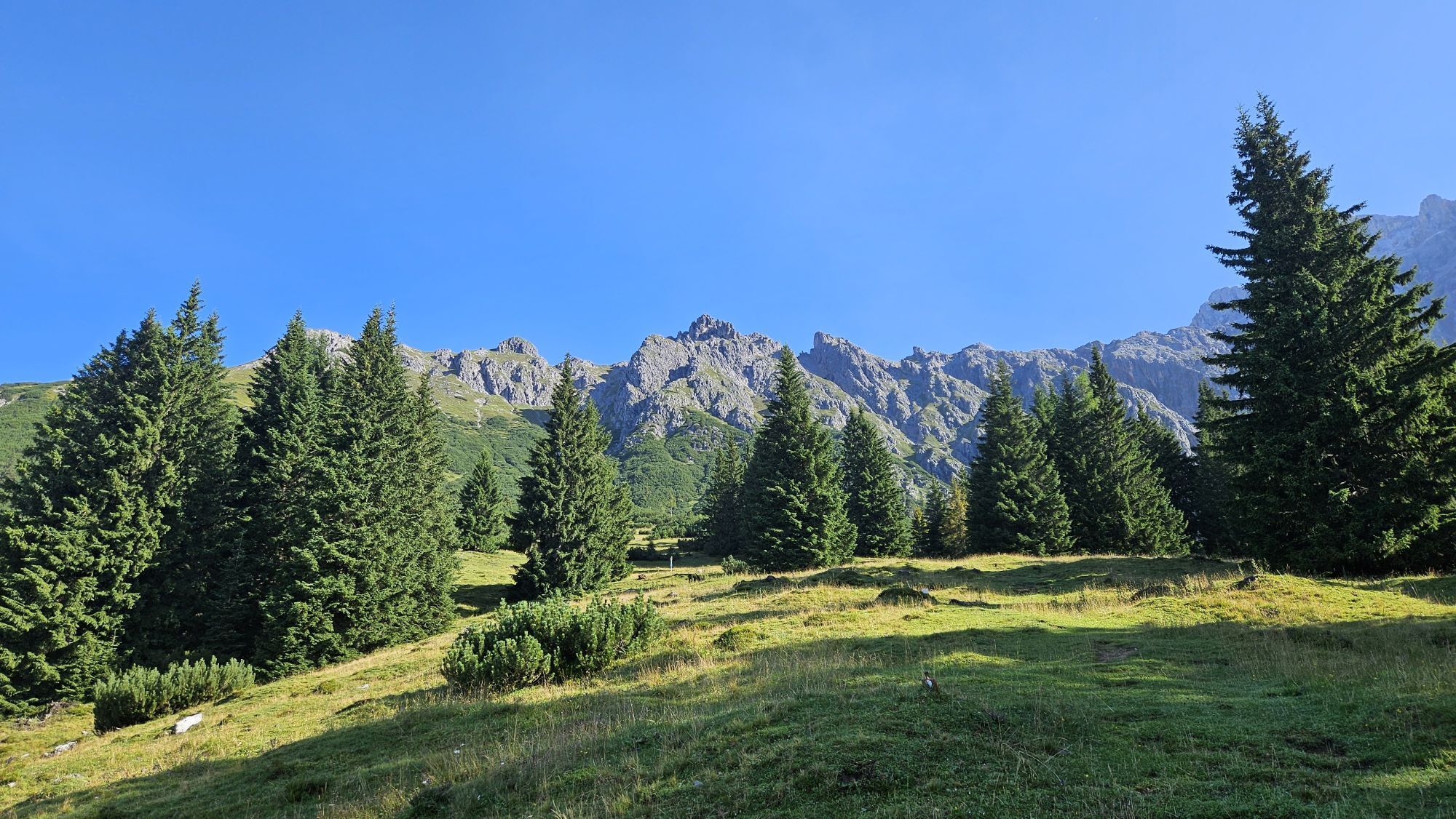
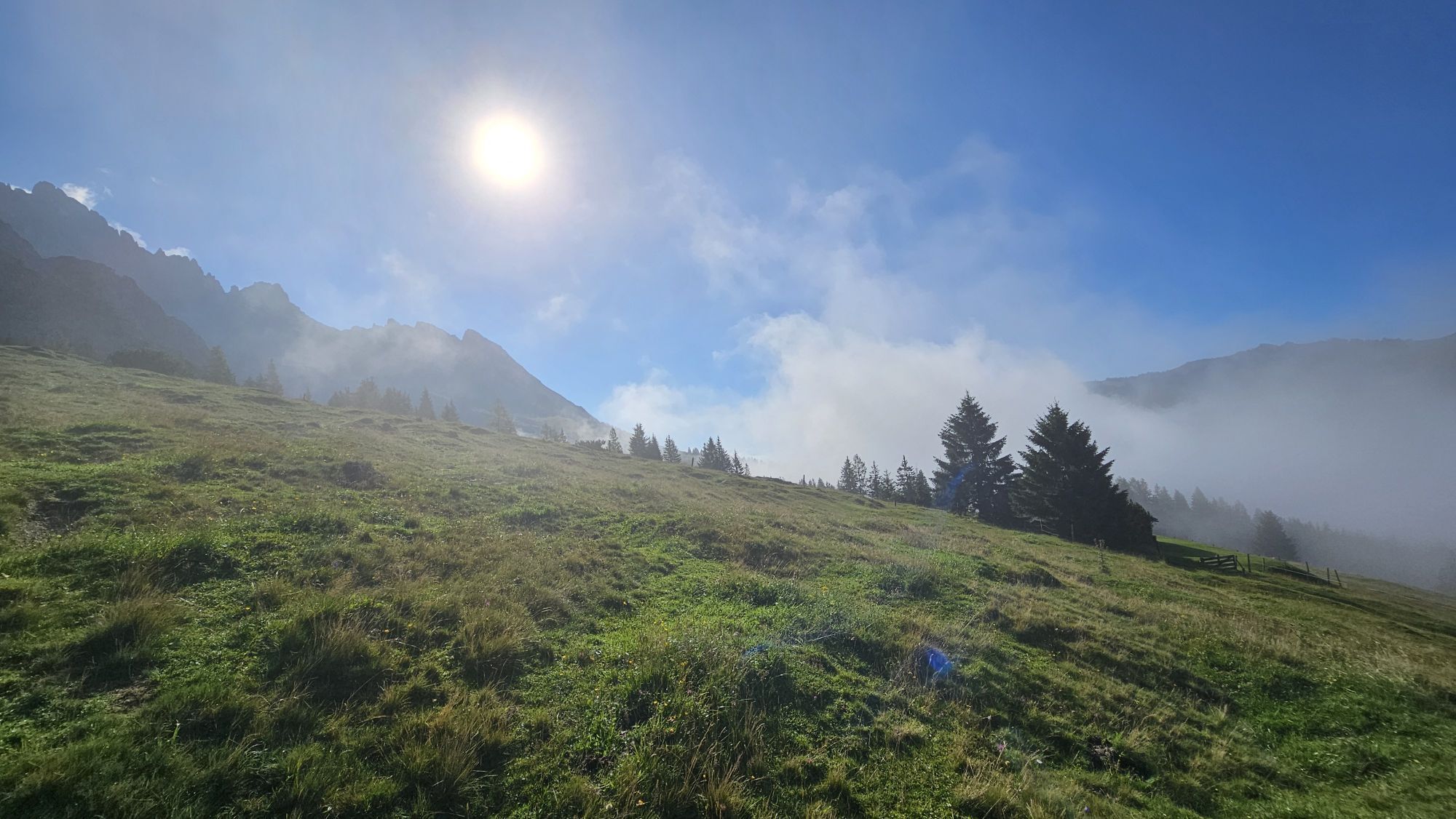
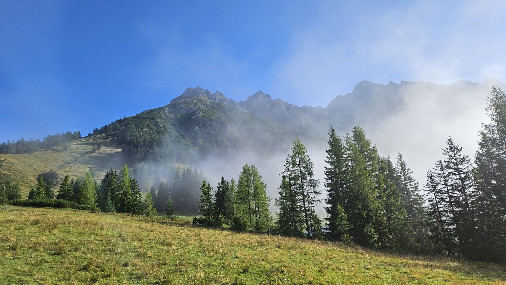
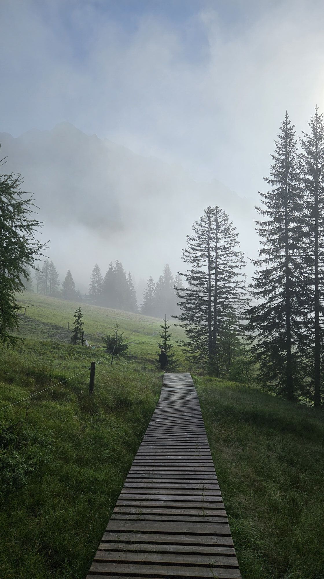
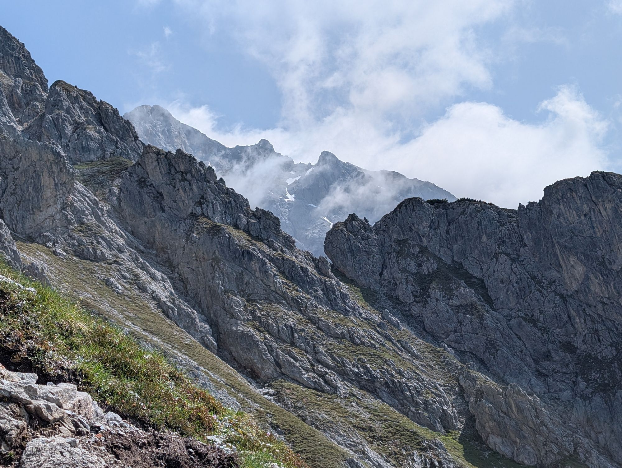
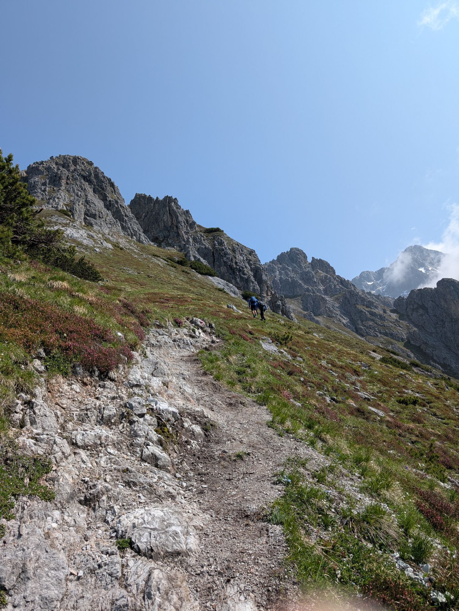
Are you ready for an unforgettable adventure in the majestic Alps? Your starting point is the Filzensattel parking lot (L8), where you breathe in the fresh mountain air and feel the anticipation of what's...
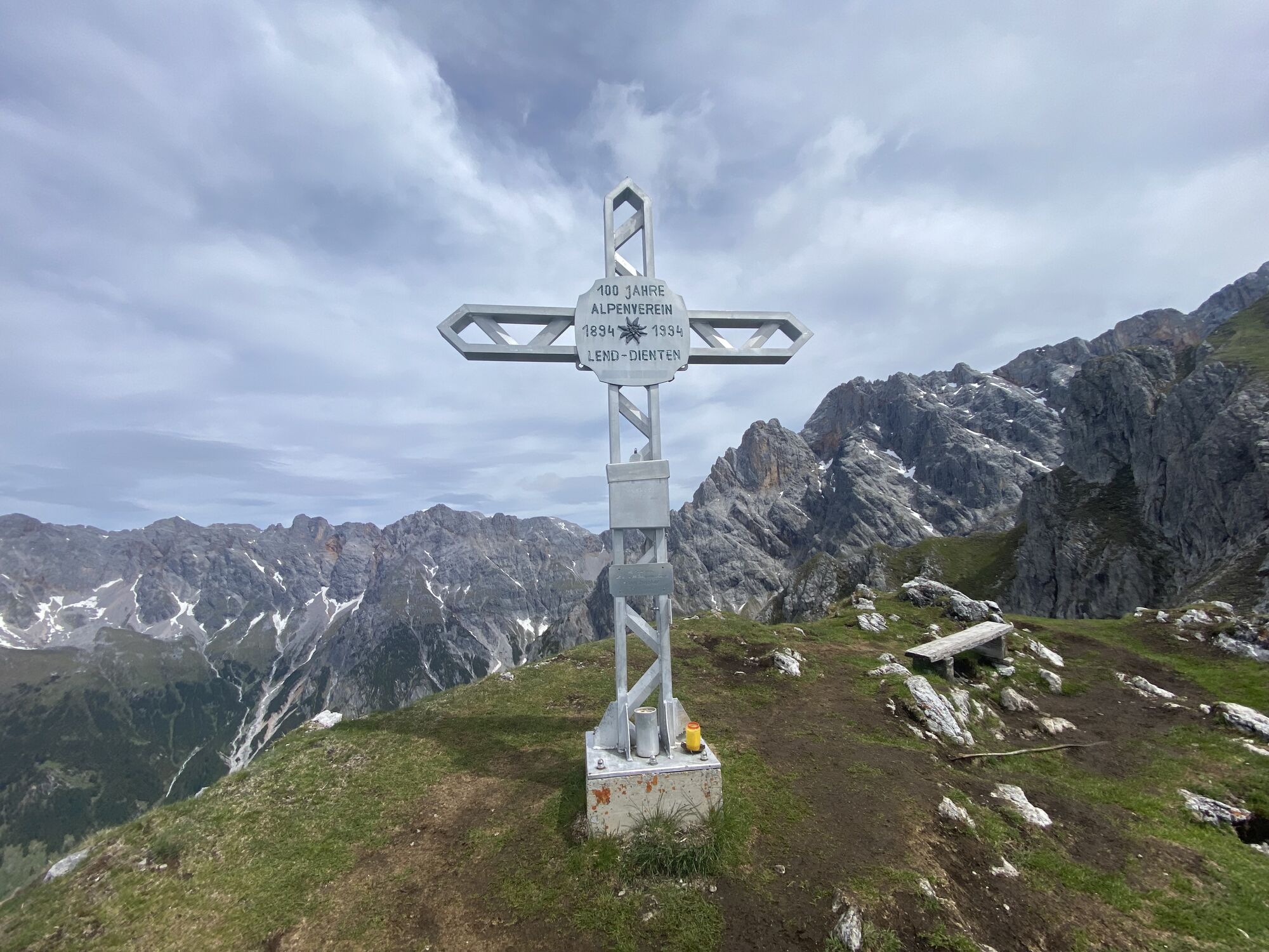
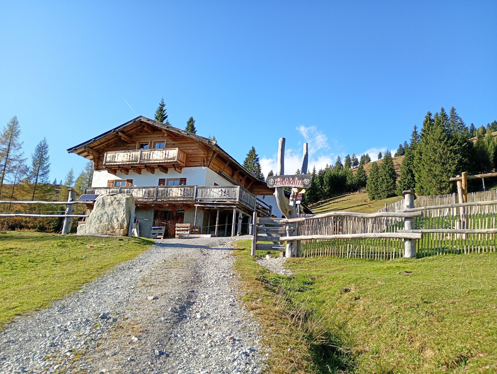
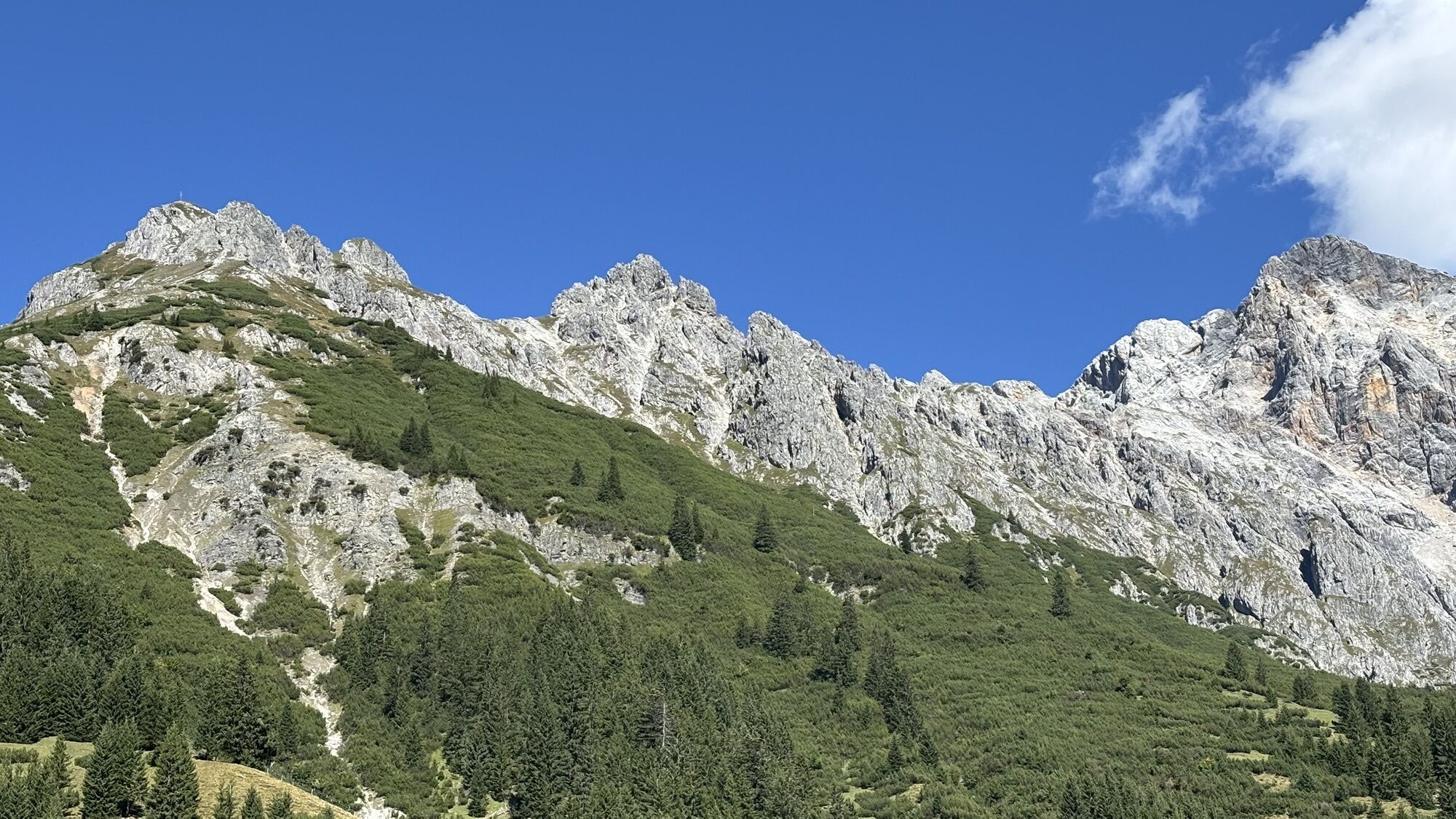
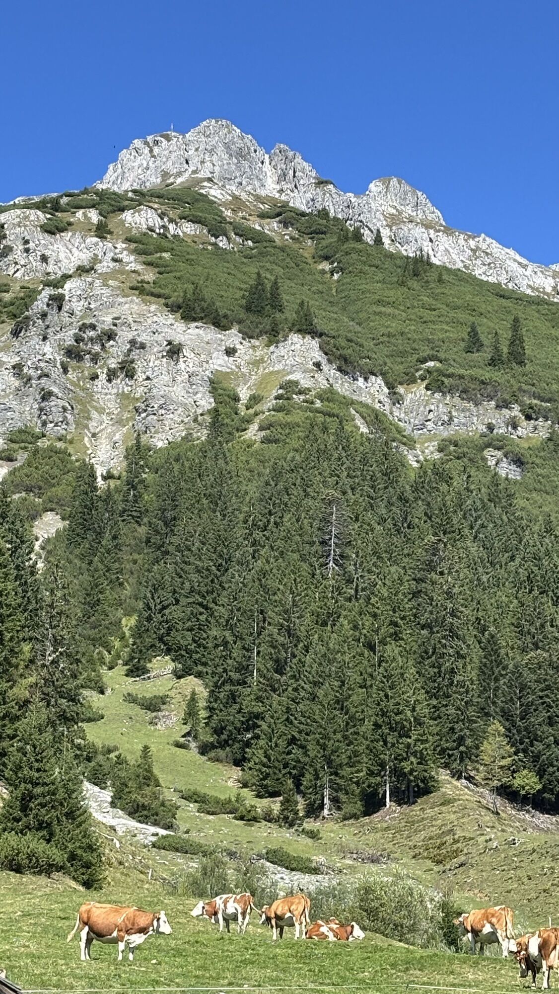
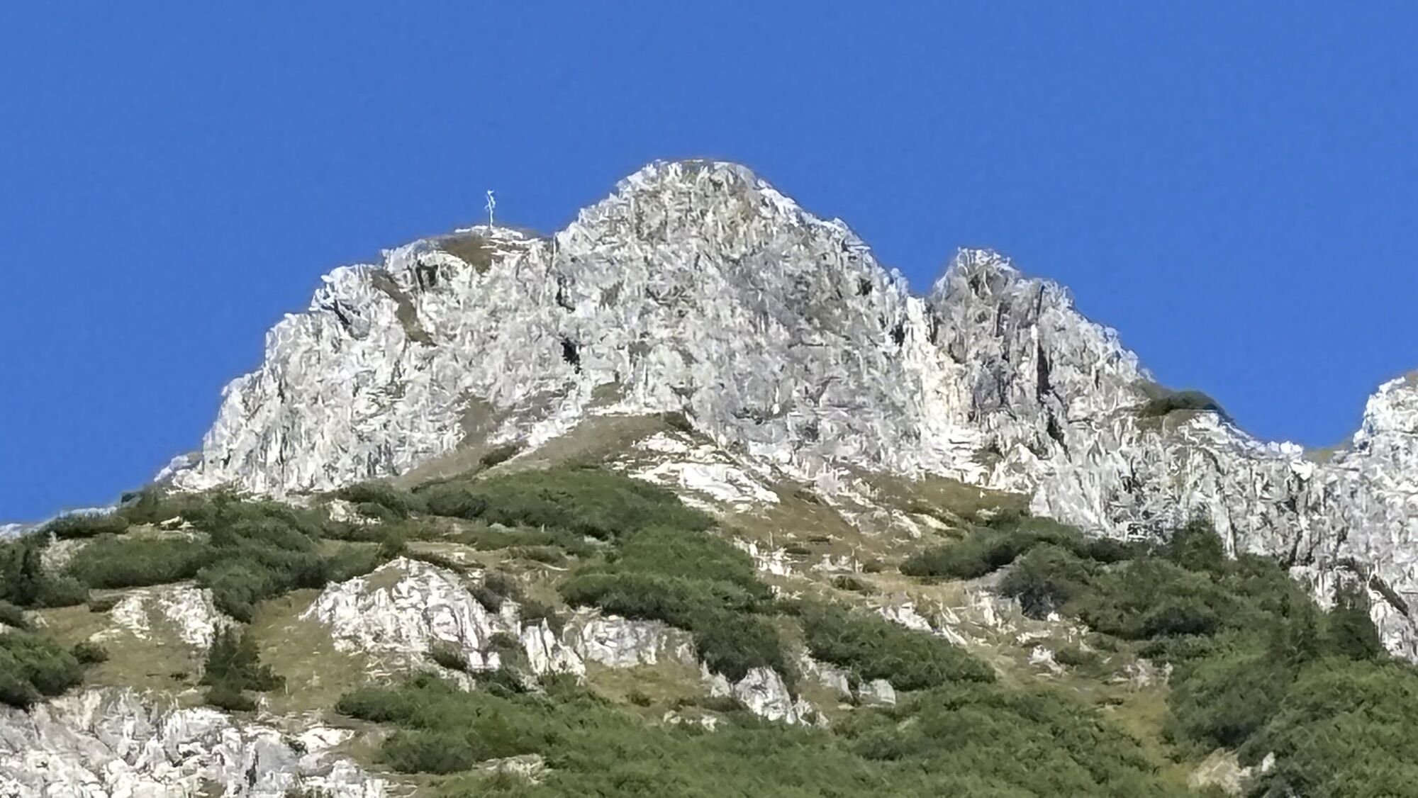
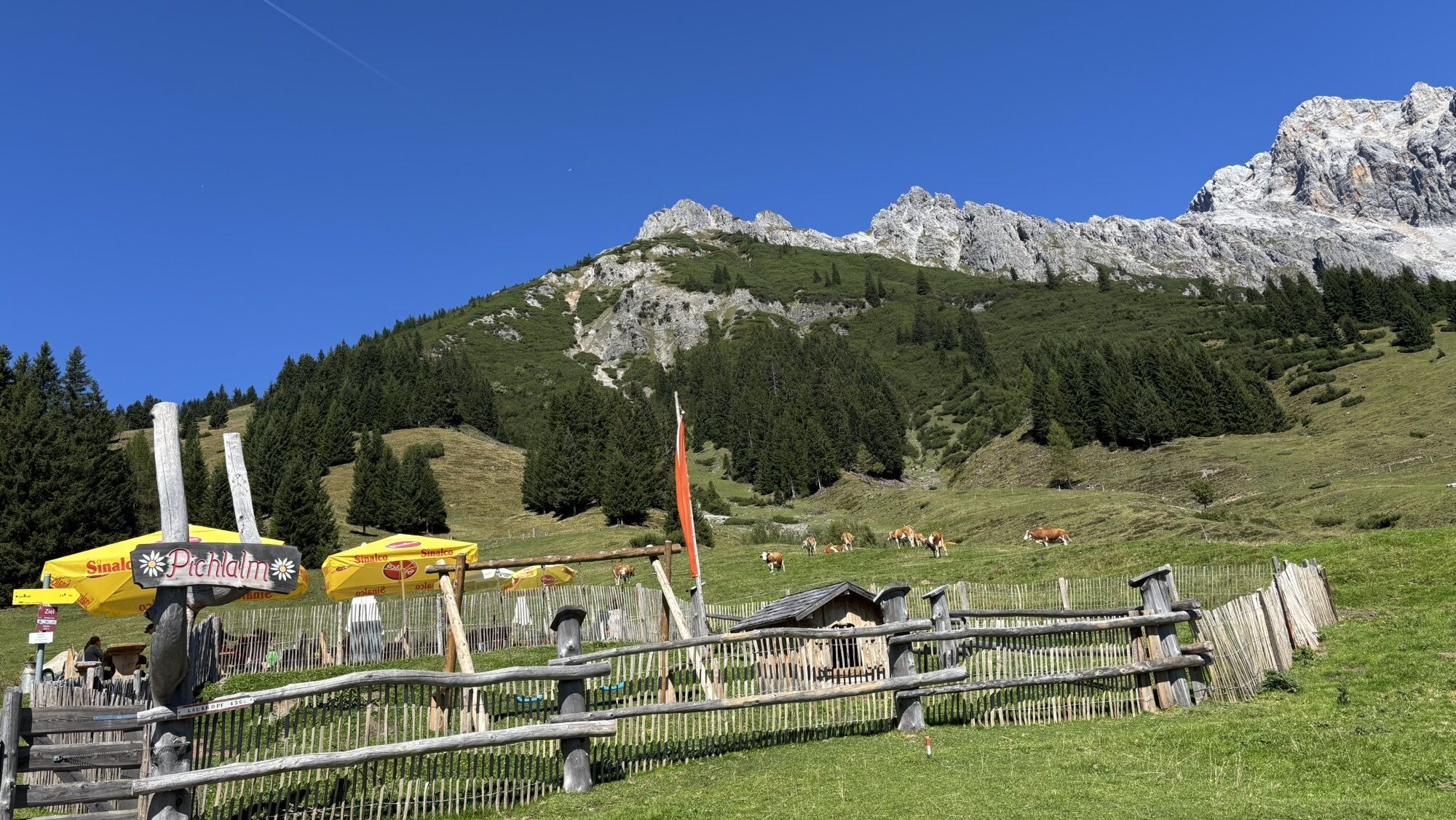
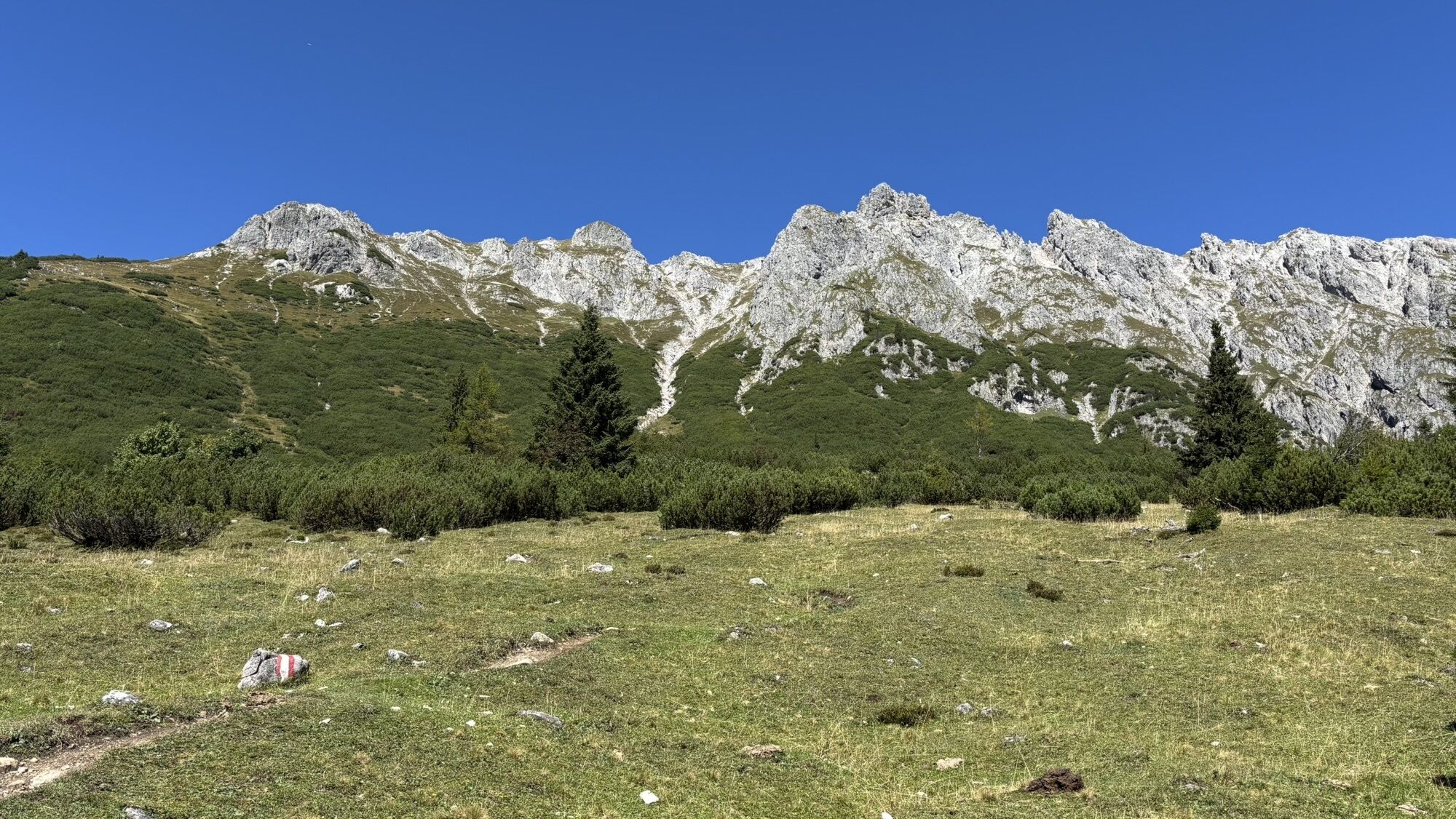
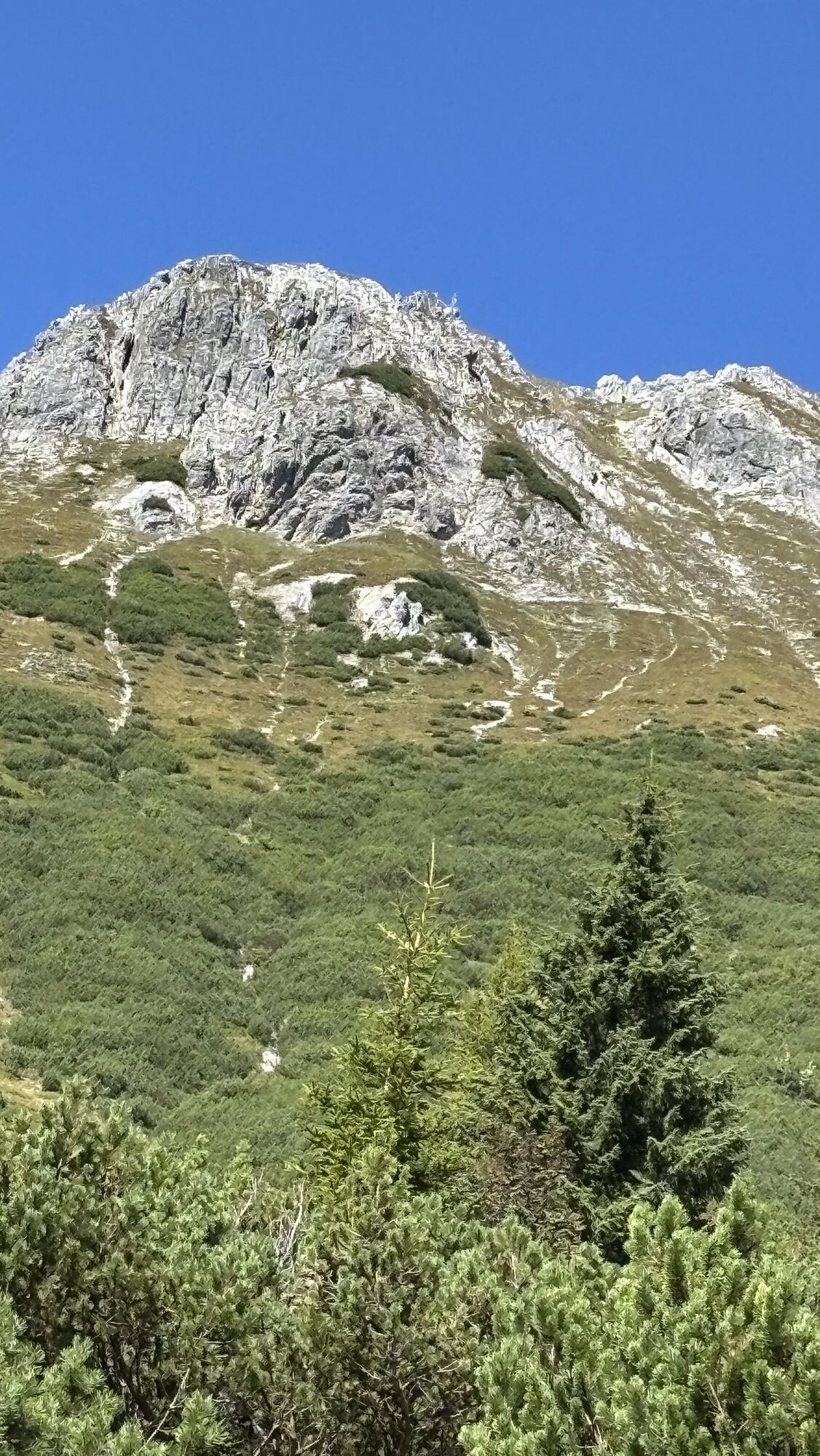
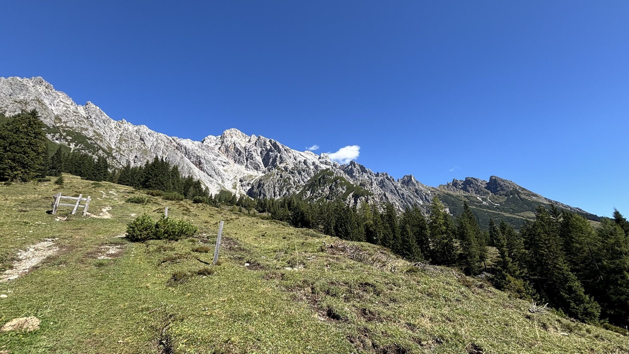
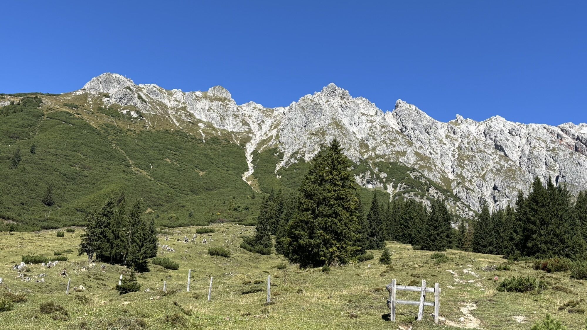
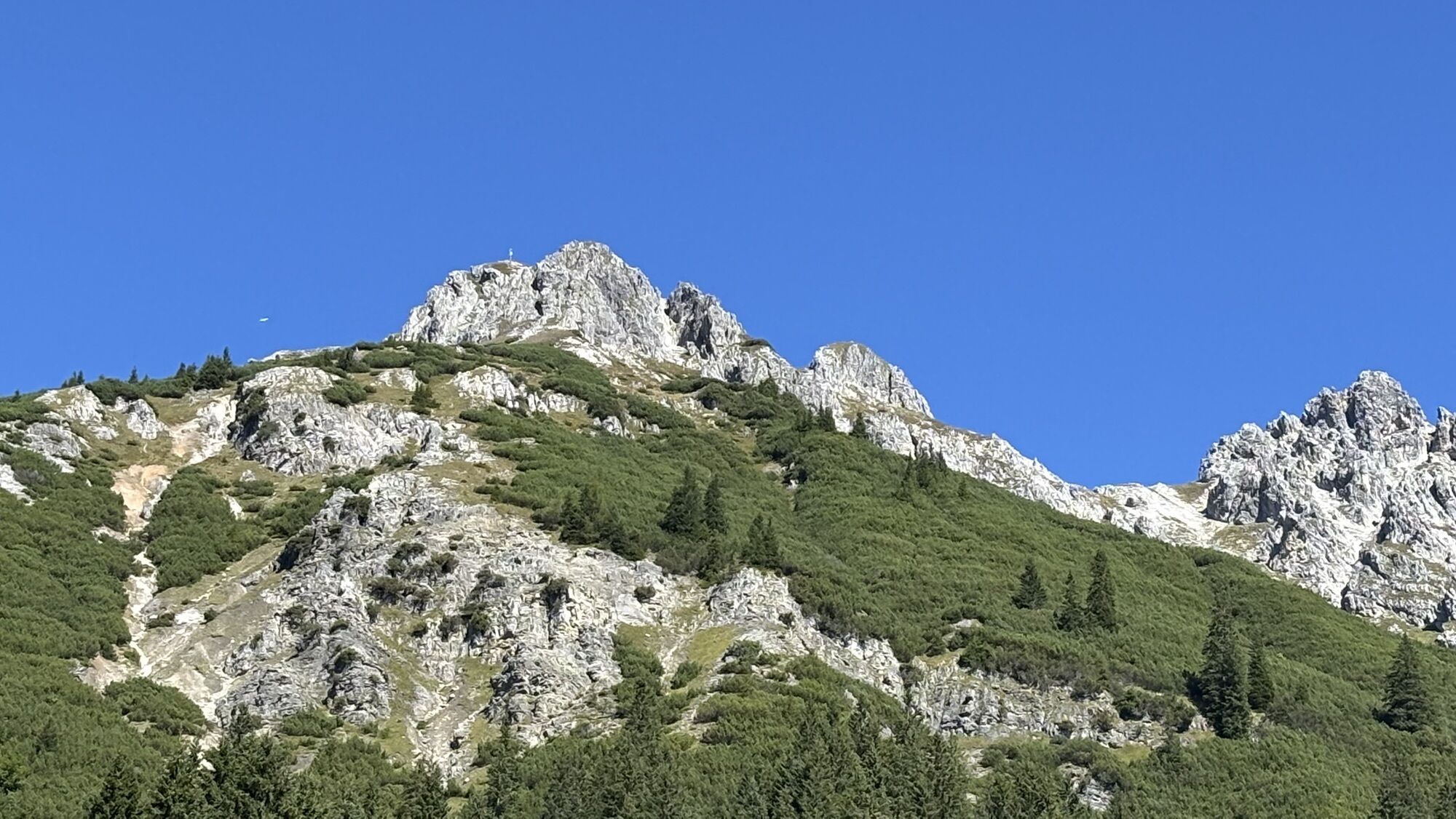
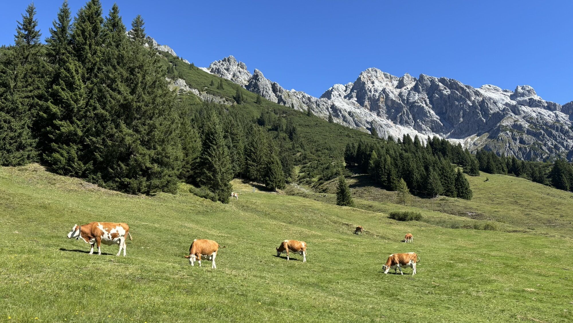
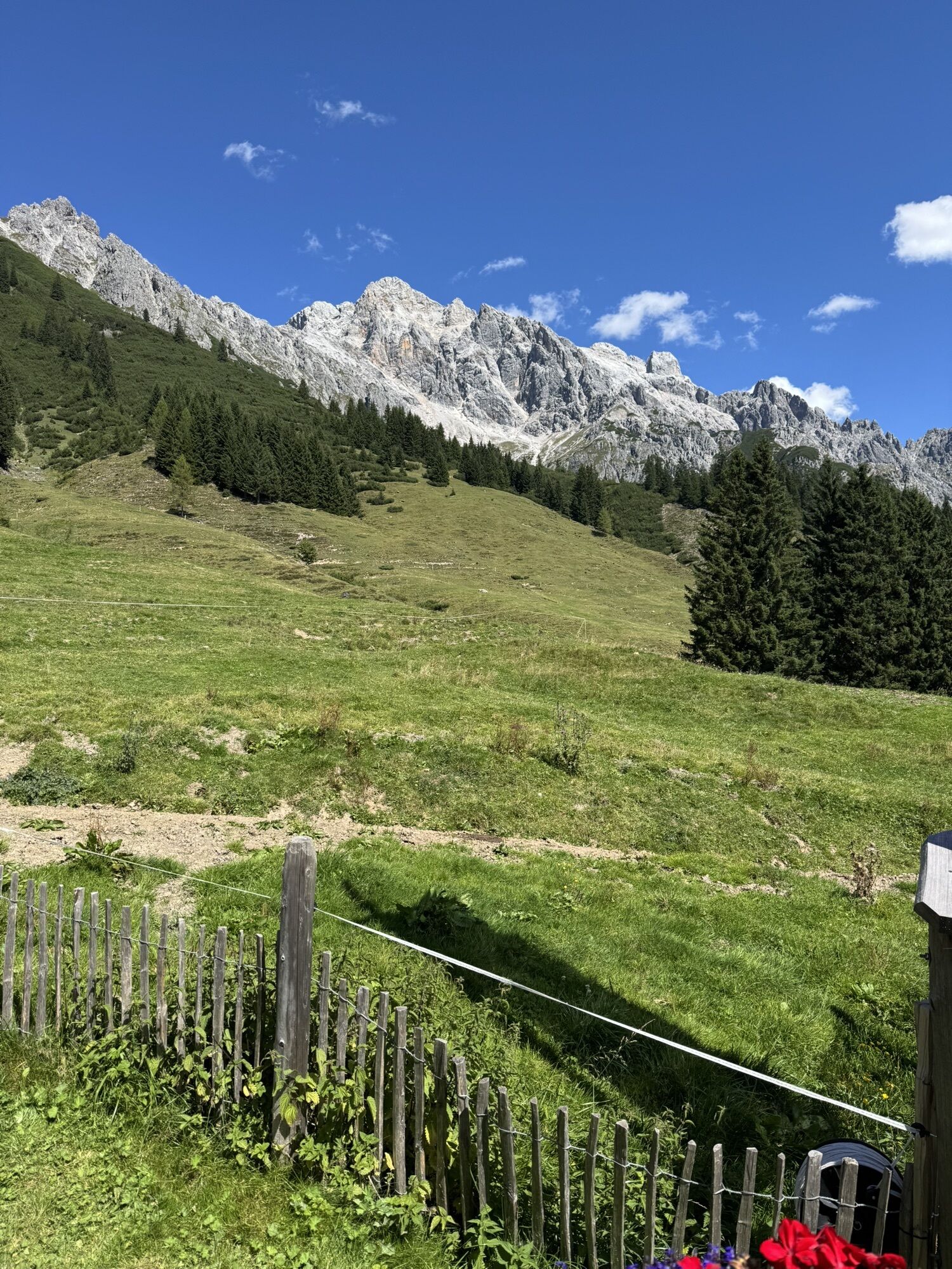
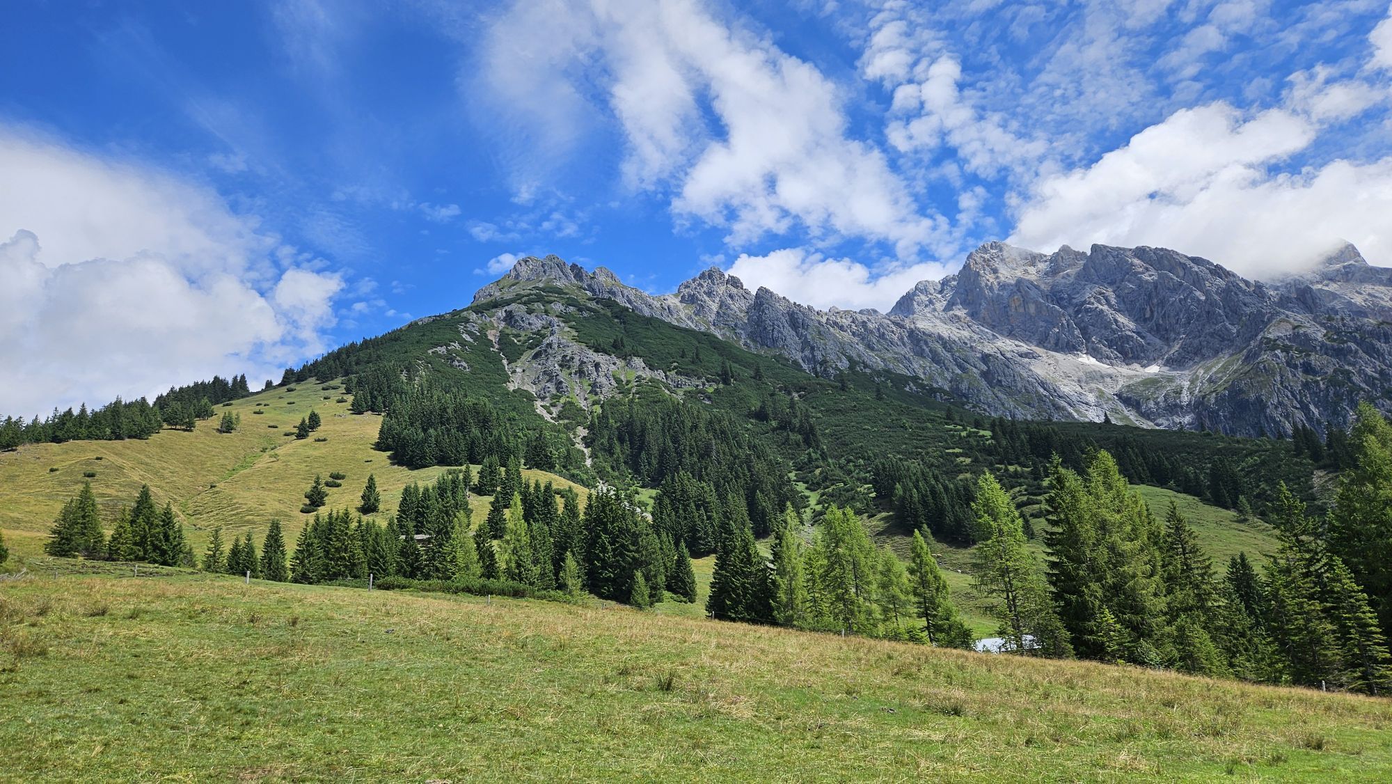
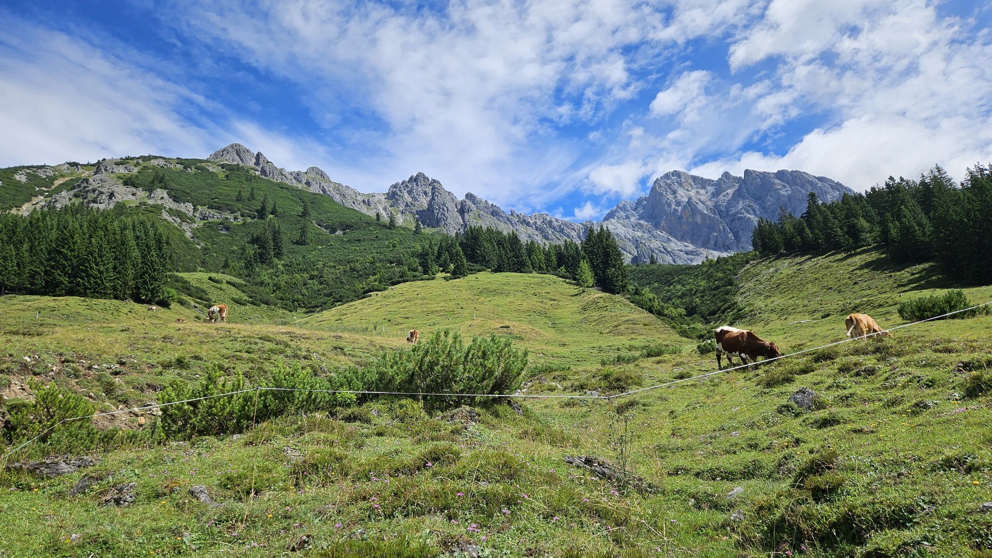
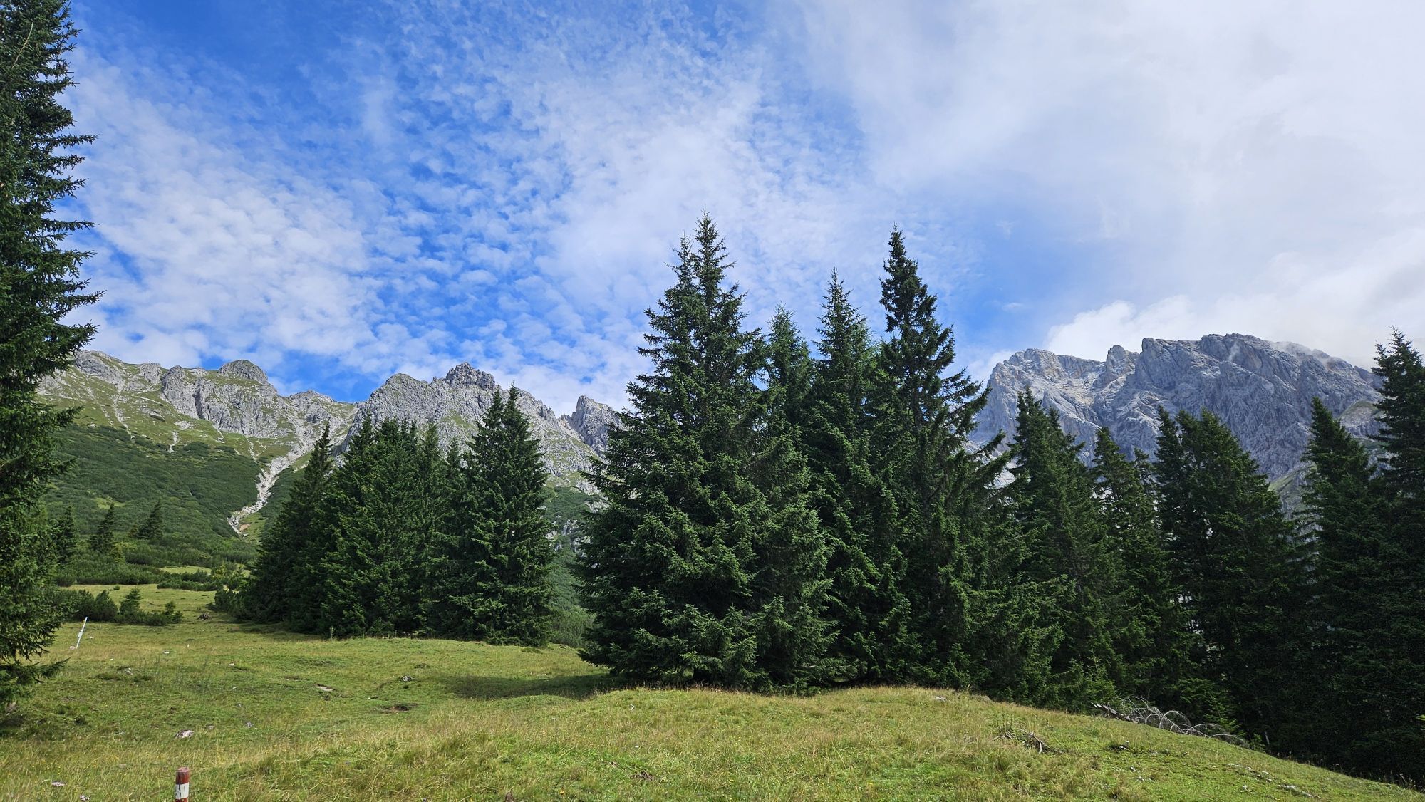
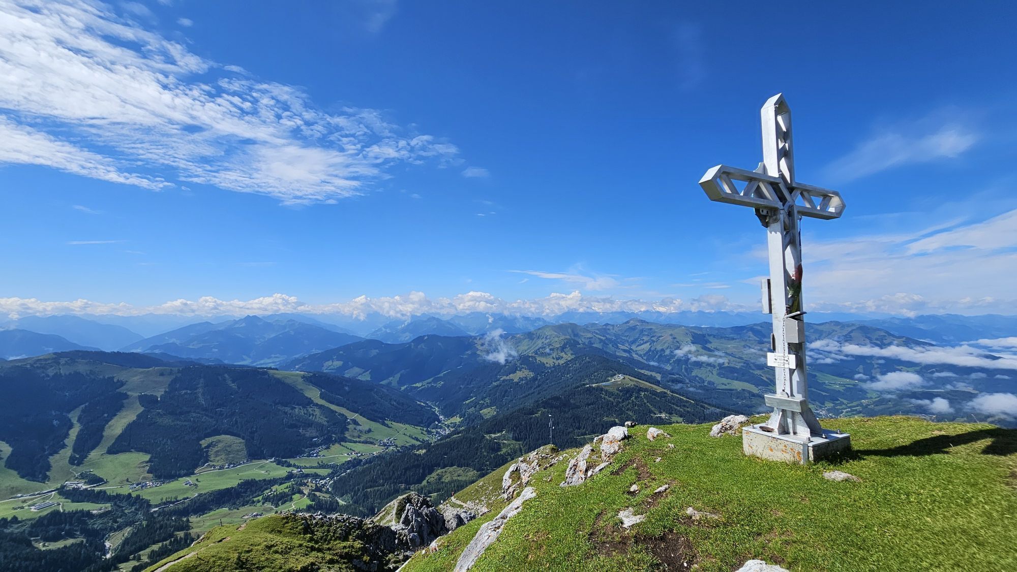
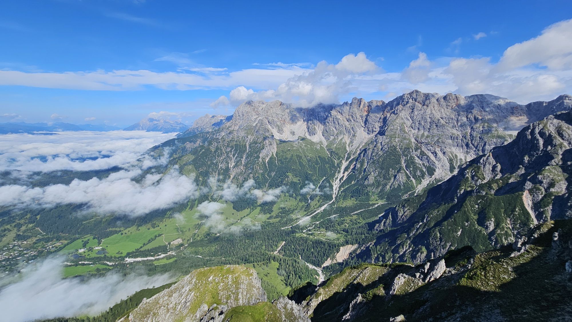
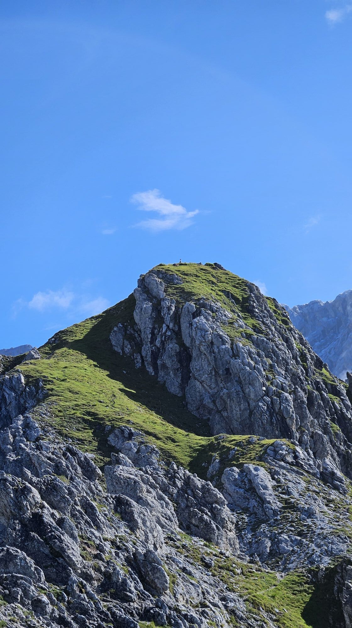
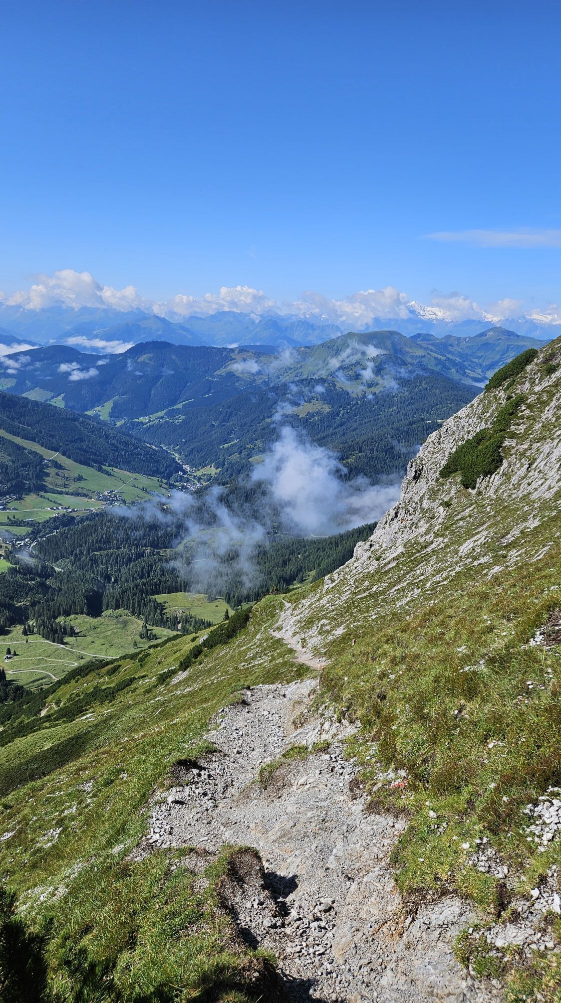
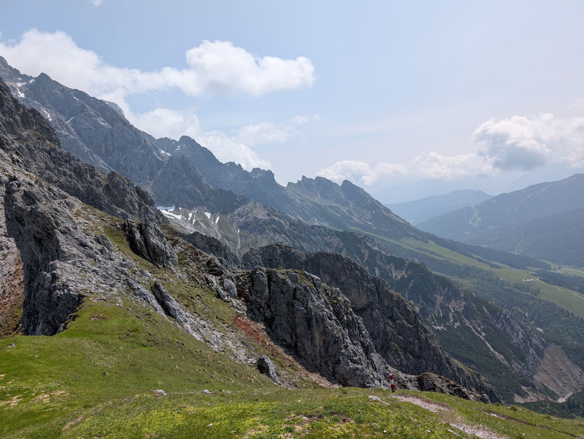
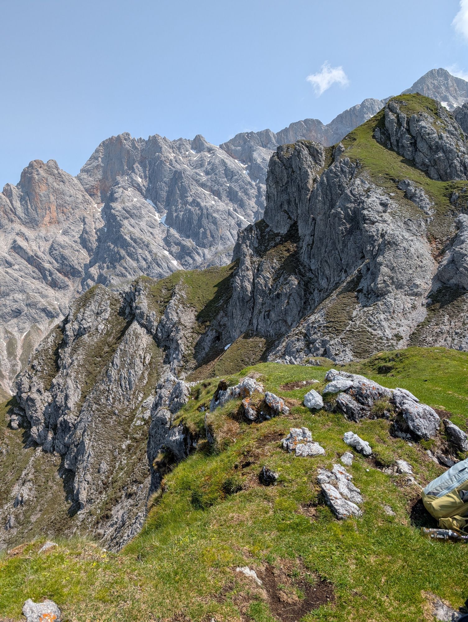
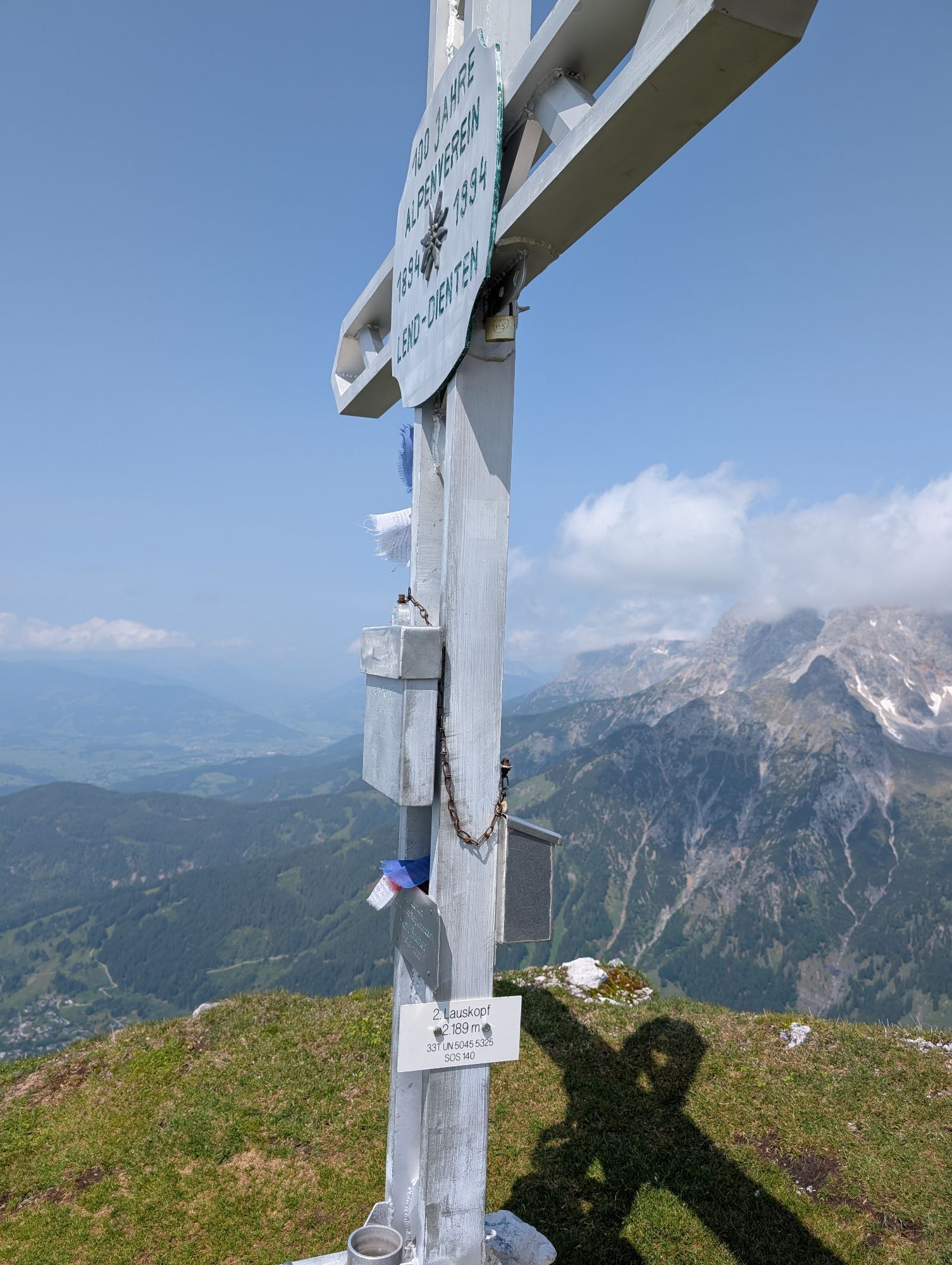
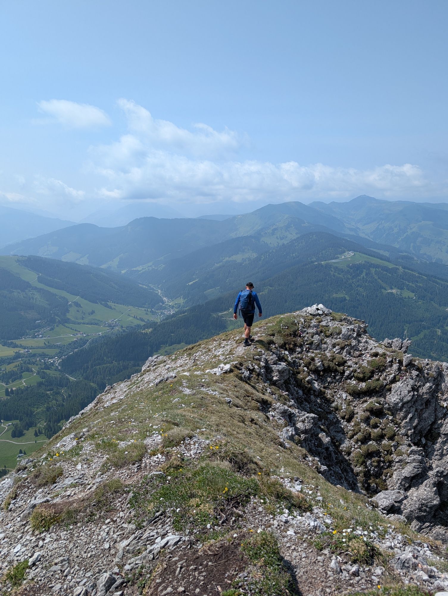
Are you ready for an unforgettable adventure in the majestic Alps? Your starting point is the Filzensattel parking lot (L8), where you breathe in the fresh mountain air and feel the anticipation of what's coming. From here, you set off towards the Pichlalm – follow trail no. 68, which takes you through a picturesque landscape. The gentle hills and fragrant alpine meadows around you are the perfect start to your hike. After a while, you reach the Pichlalm, where you can take a well-deserved break. Treat yourself to a little refreshment and enjoy the alpine atmosphere – the view of the surrounding peaks is simply breathtaking! Now it gets exciting: From the Pichlalm, the Alpine Club trail no. 436A leads you on a narrow path up to the Lausköpfe. Here the steep ascent begins, and you feel the adrenaline in your veins. The trail is challenging and will test you – rocky sections and steep passages will put you to the test. But don’t worry, you are sure-footed and not afraid of heights, and every step brings you closer to the summit cross of the Lausköpfe (2,189 m). While ascending, you will be rewarded with breathtaking views – the landscape unfolds before you like a beautiful painting. The fresh mountain air and the silence of nature surround you as you reach the summit. When you finally stand at the summit cross, you’ll feel like you are on top of the world. The view from here is simply spectacular and makes every effort worthwhile. Take your time to enjoy this special moment. Maybe take a moment to experience the silence and absorb the beauty of nature. The descent awaits you, and even though it is less strenuous, be careful on the narrow paths.

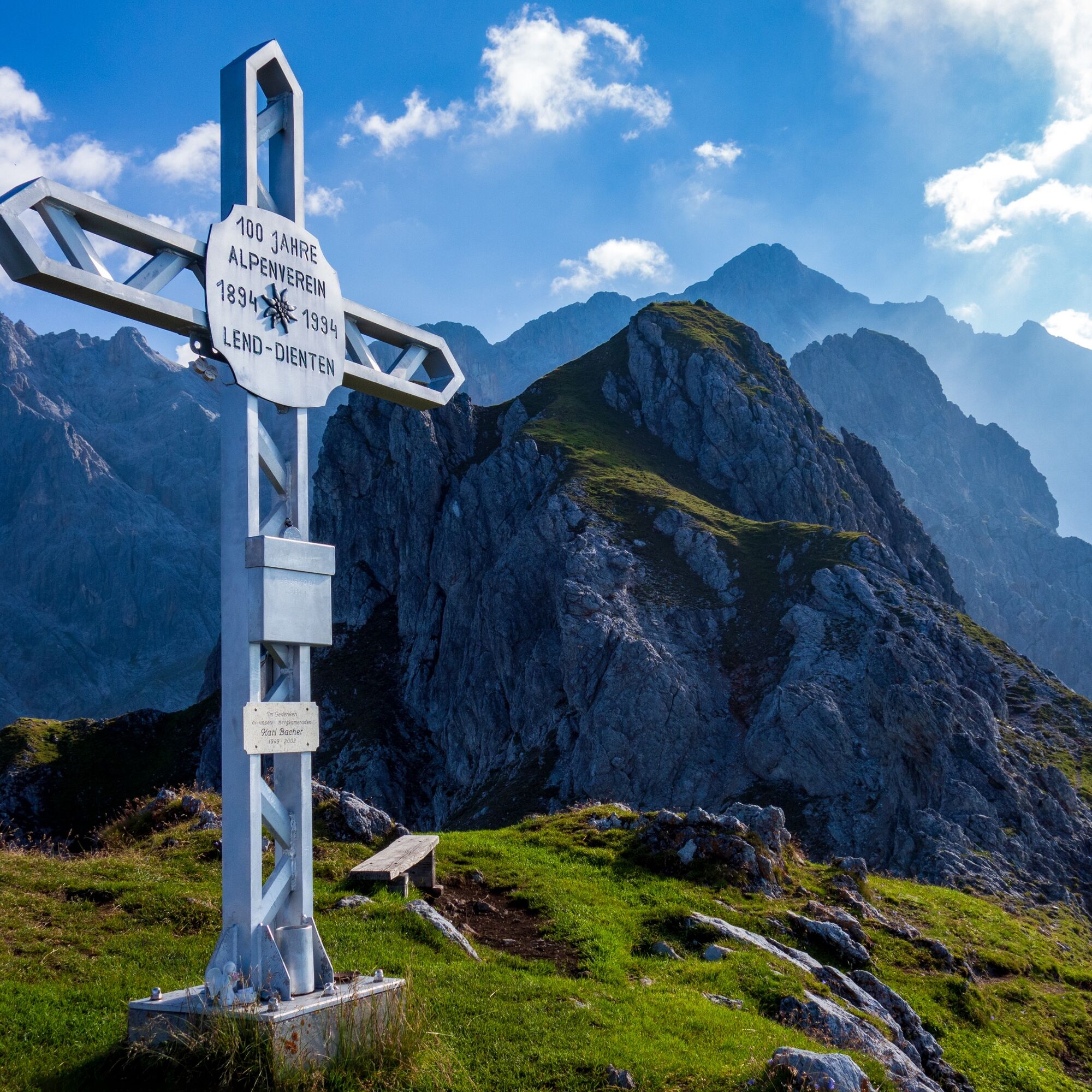
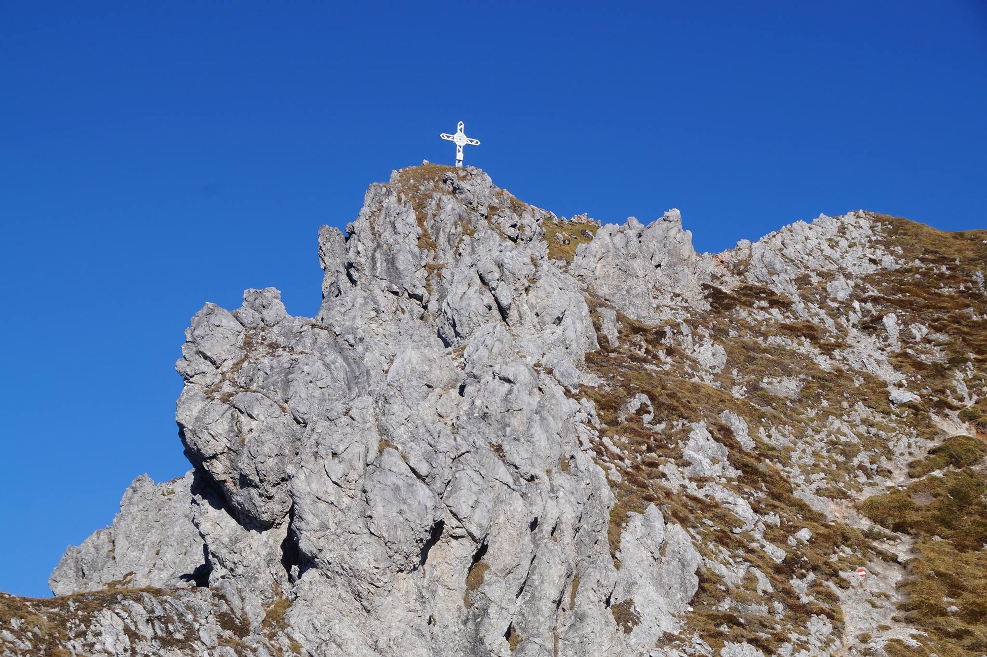
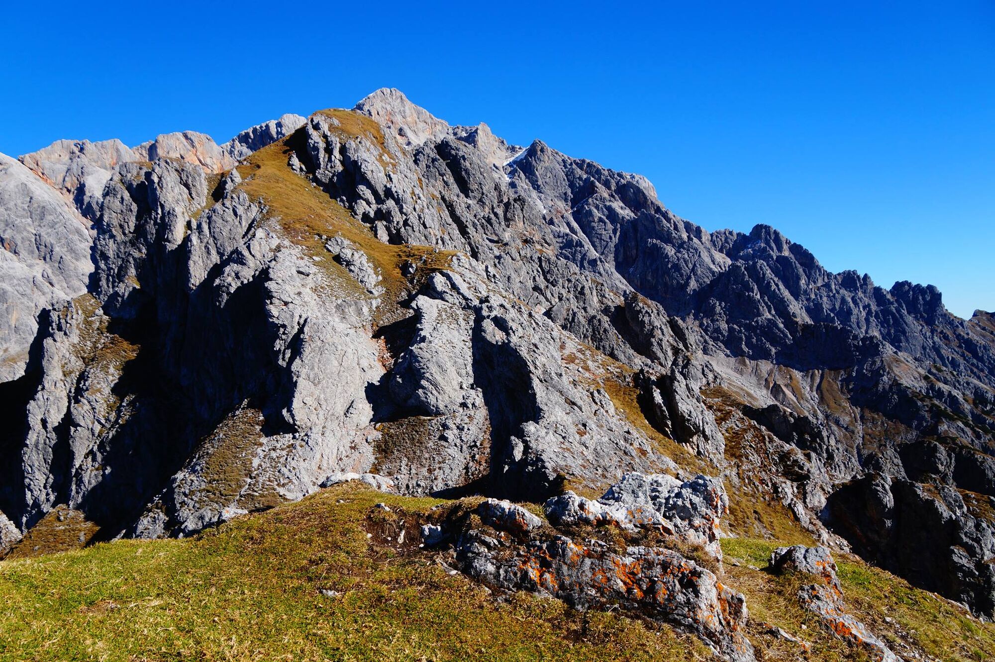
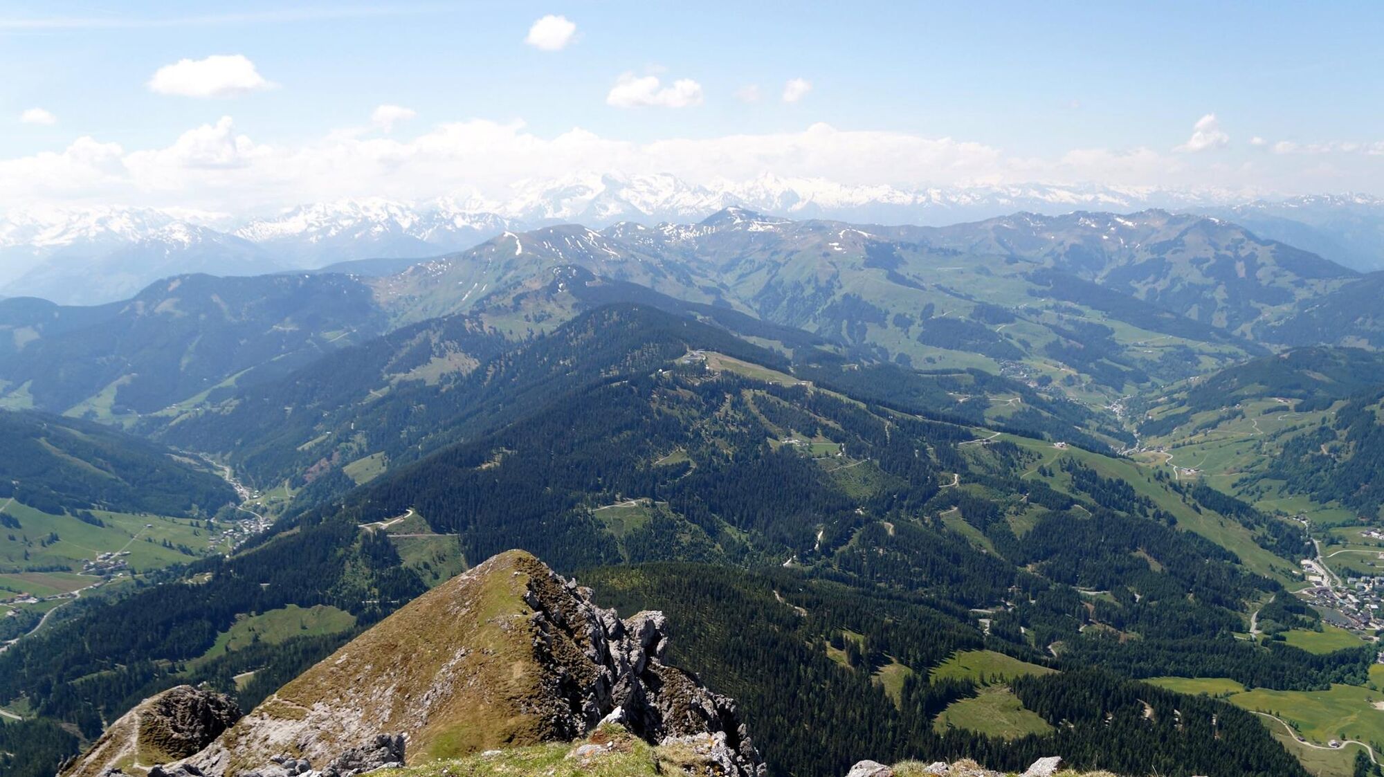
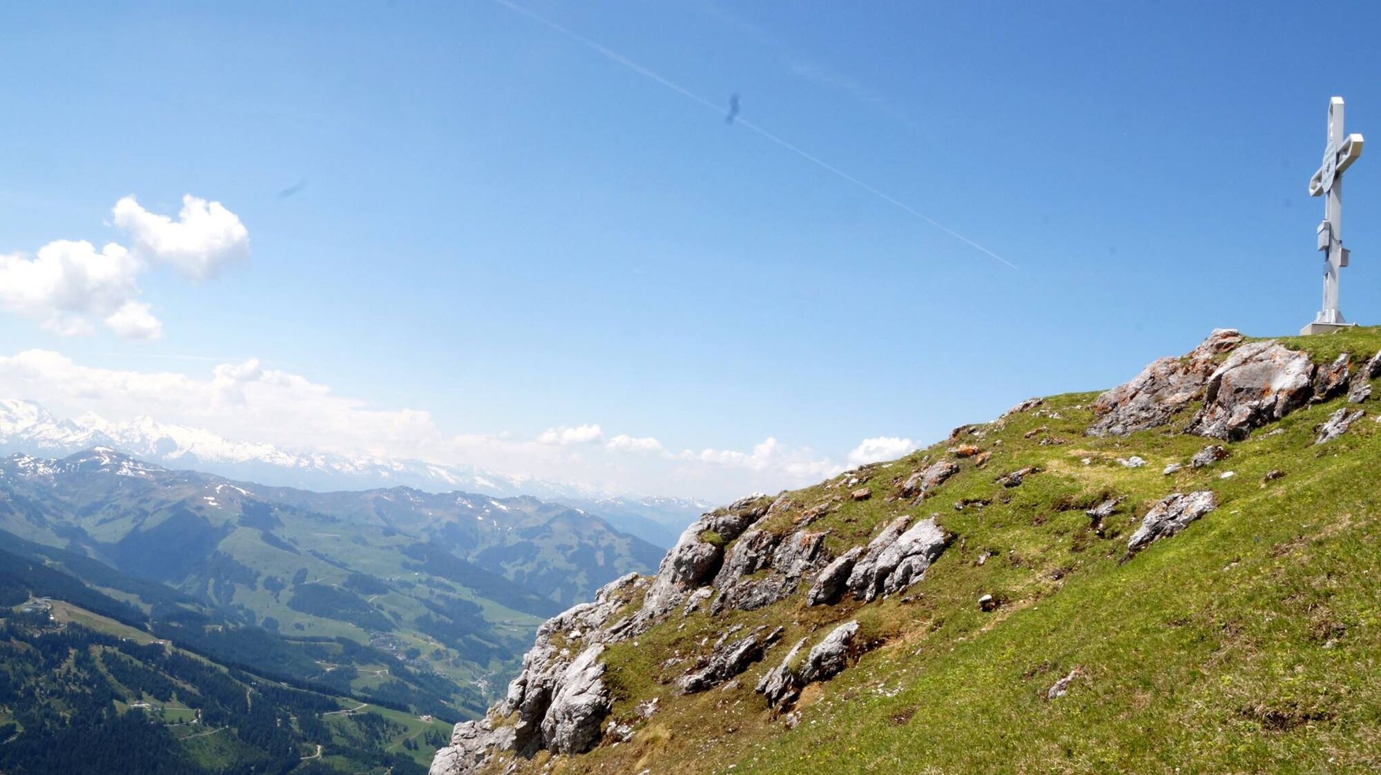
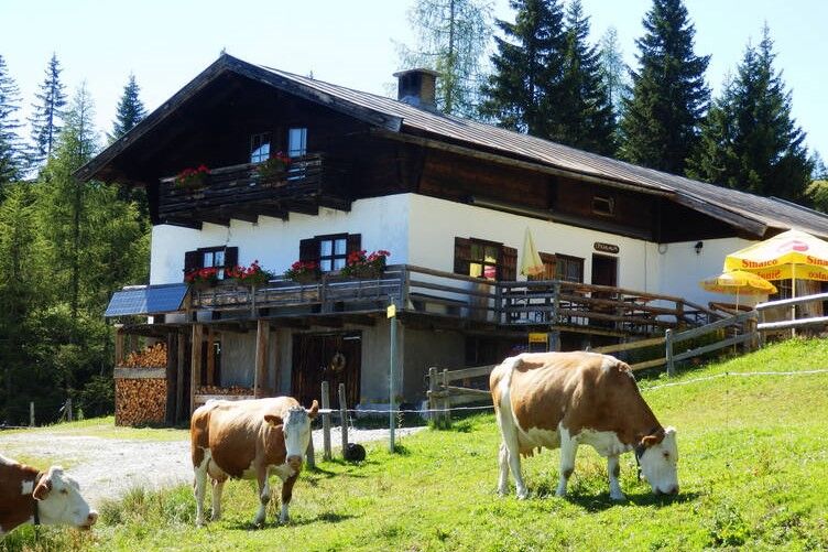
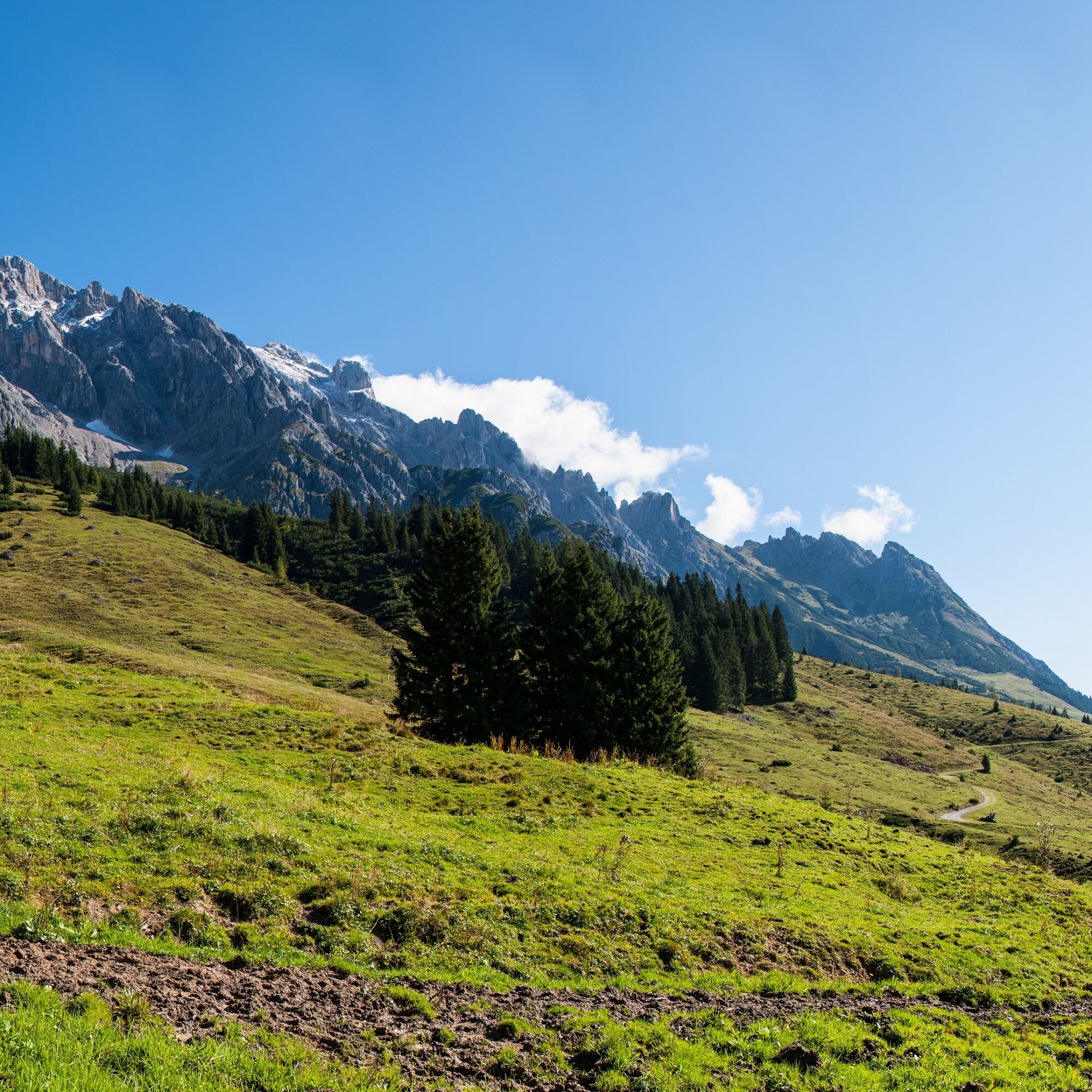

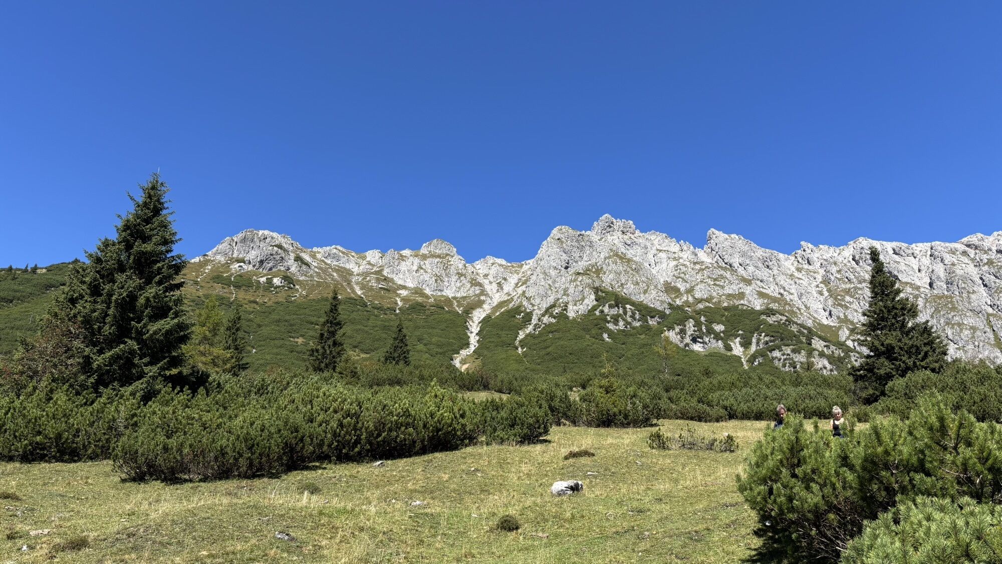
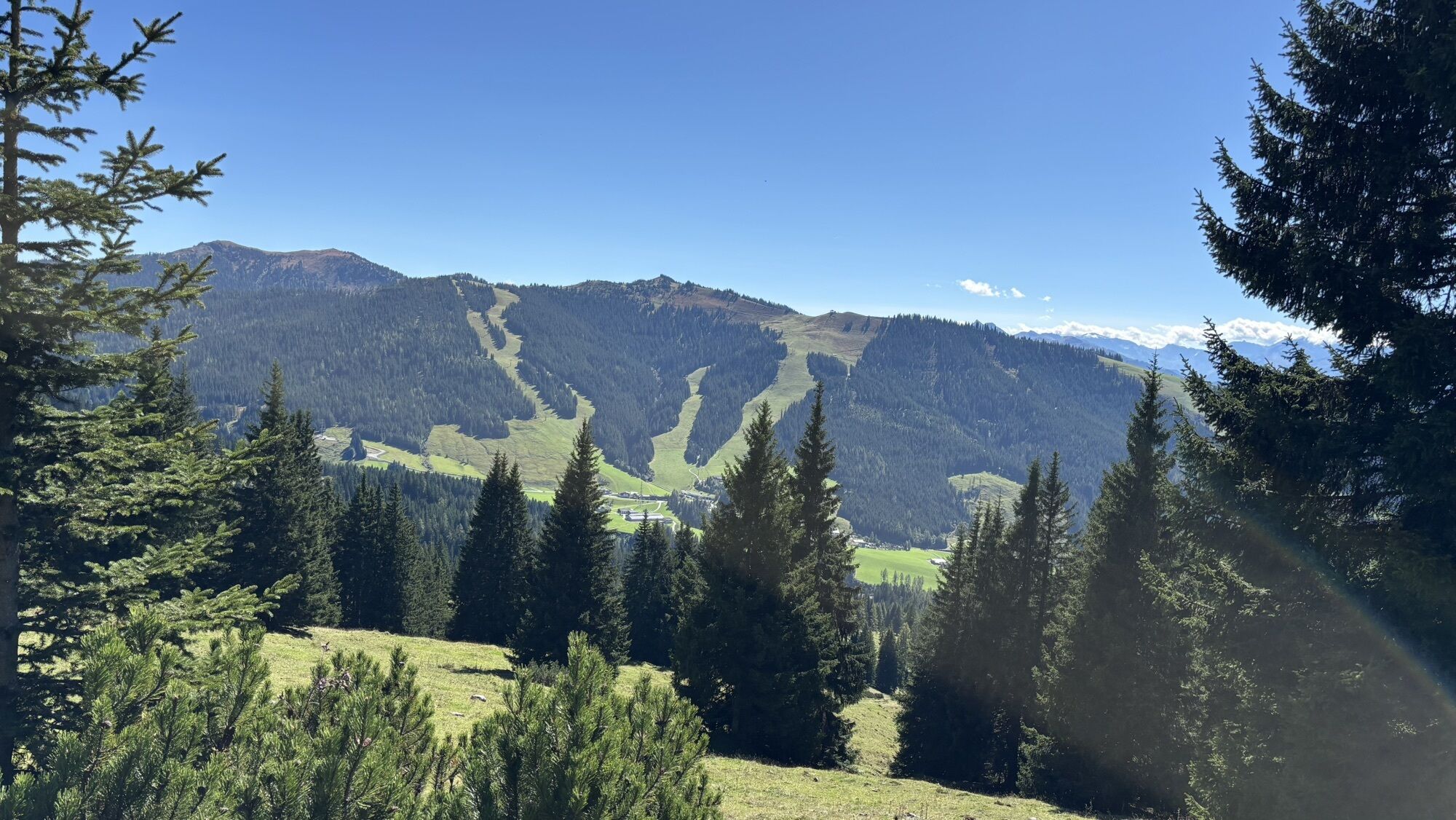
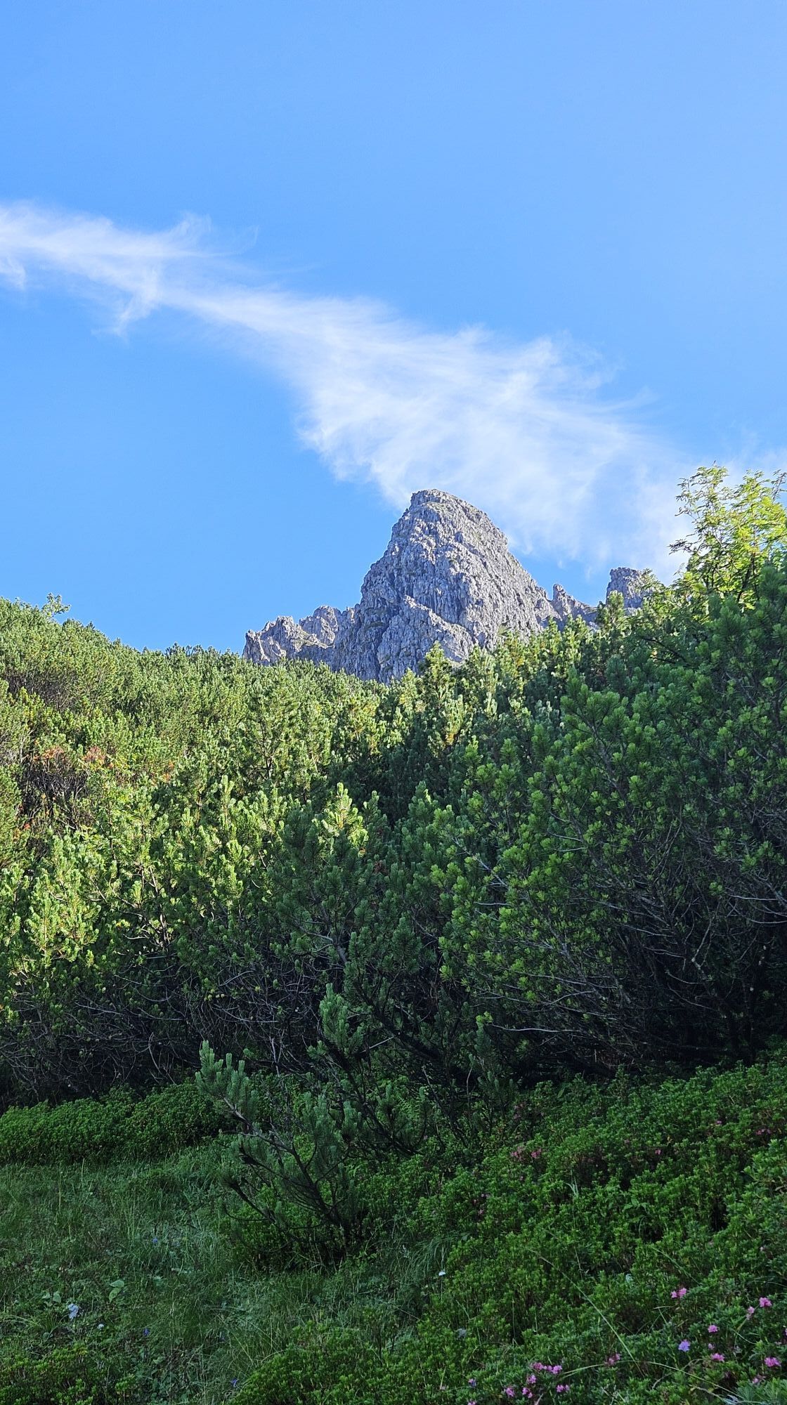
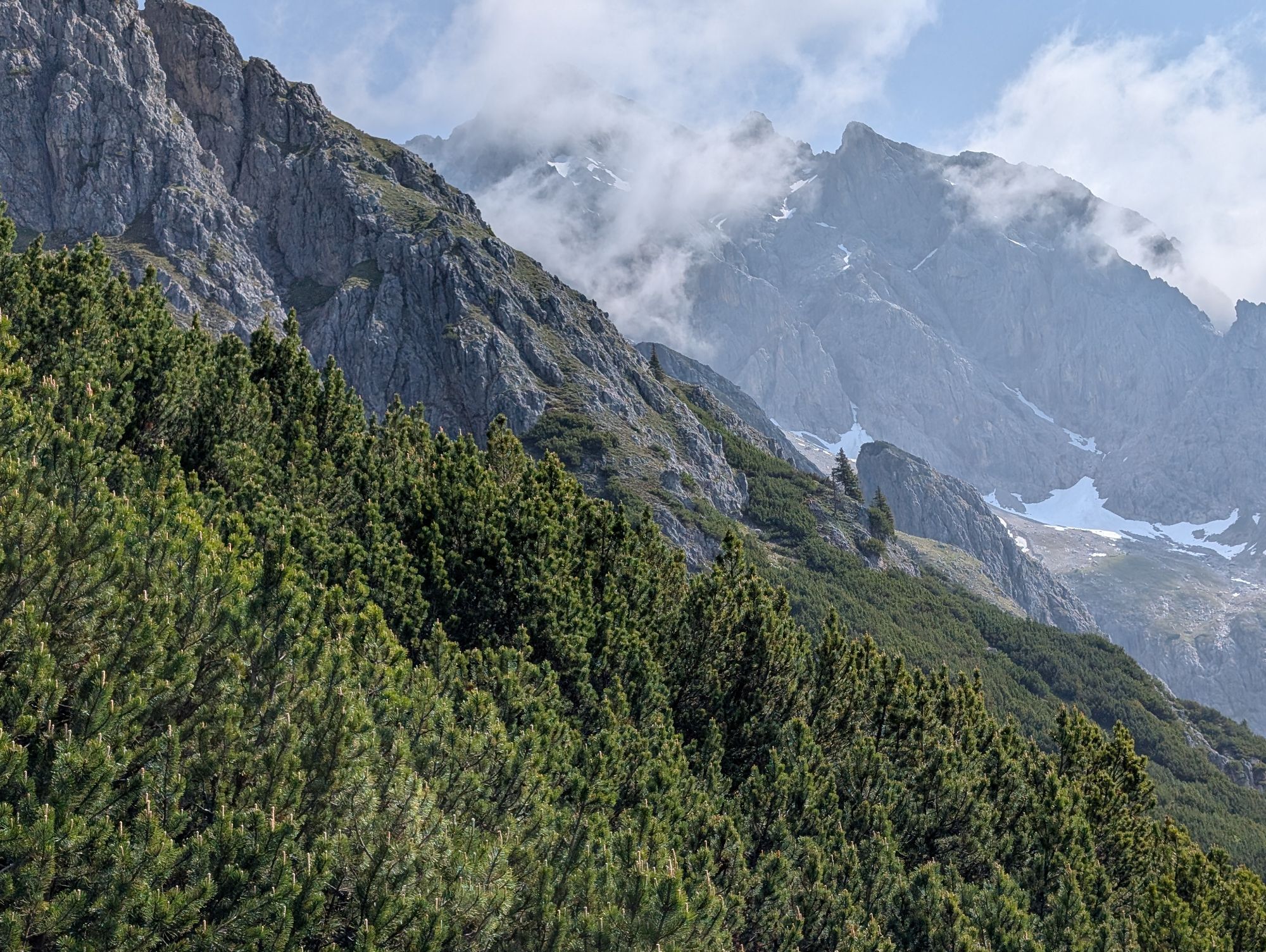
Starting from the Filzensattel parking lot (H7), a leisurely path and forest trail sections (trail no. 68) initially lead up to the Pichlalm. The following section (trail no. 436 A) over gentle alpine meadows to the so-called Kaserboden can still be taken at a relaxed pace. Only then does it get exciting for mountain enthusiasts, as the path through the dwarf mountain pines becomes steeper and rockier. Until you finally reach the first Lauskopf (weather station). The goal of the route is the second Lauskopf, as a summit victory without a summit cross - which is only on the 2nd Lauskopf - is only half a thing. Before heading back down the same way, it's time to rest and enjoy the magnificent views of the Radstadt Alps, the High Tauern, the Stone Sea, and the Leoganger Steinberge. On the descent, the Pichlalm invites you to a cozy conclusion of the route with a traditional alpine snack.
Tak
Tak
Clothing: Base layer, insulation layer, outer jacket, hiking or climbing pants, gloves, hat/beanie, sun hat or cap
Backpack: Size (30-50 liters for day hikes, 50-70 liters for multi-day hikes)
Shoes: Mountaineering boots, climbing shoes, gaiters
Safety equipment: Climbing harness, rope, carabiners, ice axe, crampons, avalanche transceiver, shovel, probe
Navigation: Map and compass, GPS device or smartphone
First aid: First aid kit
Hydration: Hydration system or water bottles
Snacks: Energy bars and snacks
Sun protection: Sunscreen and lip balm
Tools: Pocket knife
Lighting: Headlamp
Self-assessment: Before every mountain tour, check your physical suitability and realistically estimate your strength as well as that of your companions – especially your children! Sure-footedness and a head for heights are often very important!
Planning and preparation: Plan every intended mountain tour carefully in advance. Hiking maps and guides as well as information from alpine clubs and locals such as mountain guides and hut hosts can be helpful.
Equipment: In the mountains you need appropriate equipment and clothing, especially sturdy, high shoes with good soles. Weather and cold protection are essential, as weather conditions can change suddenly.
Emergency equipment: Carry a complete first aid kit, a mobile phone with power bank, and possibly a satellite phone.
Roped teams: For alpine tours with technical sections, it is advisable to hike in roped teams. Practice the proper securing techniques and communication with your partners.
Glacier crossing: Watch out for crevasses and check glacier conditions. Use the correct technique when crossing and always keep a safe distance.
Proper handling of altitude: Watch for symptoms of altitude sickness (headache, nausea, dizziness). Ascend slowly and take breaks for acclimatization.
Weather forecasts: Check current weather conditions at: zamg.at or www.uwz.at.
Together: Observe the 10 rules for proper interaction with grazing animals and leave no litter in nature!
Do not dislodge stones: Do not dislodge stones as this can seriously endanger other hikers. Areas marked for rockfall danger should be crossed as quickly as possible with attention and caution.
Turn back in time: This is not a shame but a sign of wisdom. It becomes necessary when the weather changes, fog sets in, or the path is too difficult or in poor condition.
Emergency numbers: Alpine emergency: 140, International emergency: 112, Rescue: 144
Arrival from Salzburg: Take the A10 motorway to the Bischofshofen exit, then continue on the B311 towards Bischofshofen. Follow the Hochkönig federal road/B164 to Mühlbach and then to Dienten.
Arrival from Innsbruck/Kufstein: Take the Loferer road/B178 towards St. Johann i.T., then continue on the Hochkönig federal road/B164 via Saalfelden and Maria Alm to Dienten or Filzensattel.
A valid toll sticker is required for using the Austrian motorway and expressway network. It is also mandatory to carry a first aid kit, warning triangle, and safety vest. More information at Asfinag.
ÖBB Scotty: Schedule information
Bus line 620: Schedule information
Bus line 631: Schedule information
Hiking bus: Schedule information
Free parking at Filzensattel
More information on hikes and activities in the Hochkönig region
For detailed information about hiking maps, the opening times of mountain railways as well as huts and alpine pastures in summer, we recommend visiting the local service center. There you will receive not only the hiking map but also valuable tips for the best hiking routes and current conditions.
Opening times of the mountain railways in summer: The mountain railways offer various opening times during the summer months, which may vary depending on weather conditions and season. Please check the current operating times in advance.
Opening times of huts & alpine pastures in summer: The huts and alpine pastures in the region are ideal rest stops for hikers. Here too, opening times may vary depending on season and weekday. Let the friendly hosts advise you about offers and specialties on site.
For more information please visit our website: www.hochkoenig.at.
If you have any questions or want to get specific information, feel free to contact us:
Email: region@hochkoenig.at
Phone: +43 (0)6584 20388
We look forward to assisting you and wish you lots of fun exploring the beautiful Hochkönig hiking region!
Come to the Pichlalm and enjoy traditional alpine delicacies while taking in the view of the Lauskopf!

 Uzyskaj wgląd
Zawsze na żywo z ponad 9 500 kamer internetowych. bergfex Jako użytkownik Pro, możesz teraz zobaczyć odpowiednie kamery internetowe dla wielu wycieczek w aplikacji wycieczki od. Pozwala to na bezpośredni podgląd aktualnych warunków.
Uzyskaj wgląd
Zawsze na żywo z ponad 9 500 kamer internetowych. bergfex Jako użytkownik Pro, możesz teraz zobaczyć odpowiednie kamery internetowe dla wielu wycieczek w aplikacji wycieczki od. Pozwala to na bezpośredni podgląd aktualnych warunków.
Aktywności na trasie
-

Lausköpfe
09.08.2026 – Wędrówka -

Lauskopf
07.08.2026 – Wędrówka -

Dienten am Hochkönig, Salzburg/Österreich
04.07.2026 – Wędrówka -

Dienten am Hochkönig, Salzburg/Österreich
08.11.2025 – Wędrówka -

Dienten am Hochkönig, Salzburg/Österreich
01.09.2025 – Wędrówka -
Lausköpfe, Dienten am Hochkönig
08.08.2025 – Wędrówka -

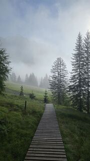
Lauskopf (2.163m) am Hochkönig in Salzburg
30.07.2025 – Wędrówka
Popularne wycieczki w okolicy
-
4,4
Maria Alm - Riemannhaus
Wędrówka 3,99 km -
4,8
Königssee - Kärlinger-Haus
Wędrówka 10,1 km -
4,8
Summit storming route Taghaube
ciężkiWędrówka 6,25 km -
4,7
About the "Four Huts circular route" to Windraucheggalm
średniWędrówka 10,1 km -
4,8
Highlight Kitzlochklamm Classic round
średniWędrówka 2,02 km -
4,6
Steinalm
światłoWędrówka 2,71 km -
4,6
Panorama hike to the Hochkeil
średniWędrówka 6,07 km -
3,6
Wanderung zur Ostpreußenhütte in Werfen (1.630 m)
średniWędrówka 11,2 km -
4,3
Schwalbenwand Nr. 80, 81, 82
średniWędrówka 13,0 km -
4,5
Peter-Wiechenthaler Hut
średniWędrówka 4,32 km
Wędrówki i tropienie


Nie przegap ofert i inspiracji na następne wakacje
Twój adres e-mail została dodana do listy mailingowej.





