


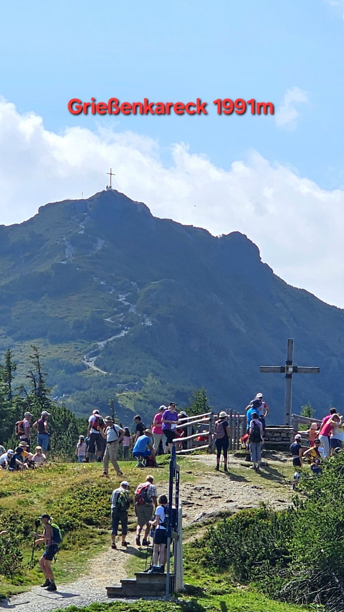
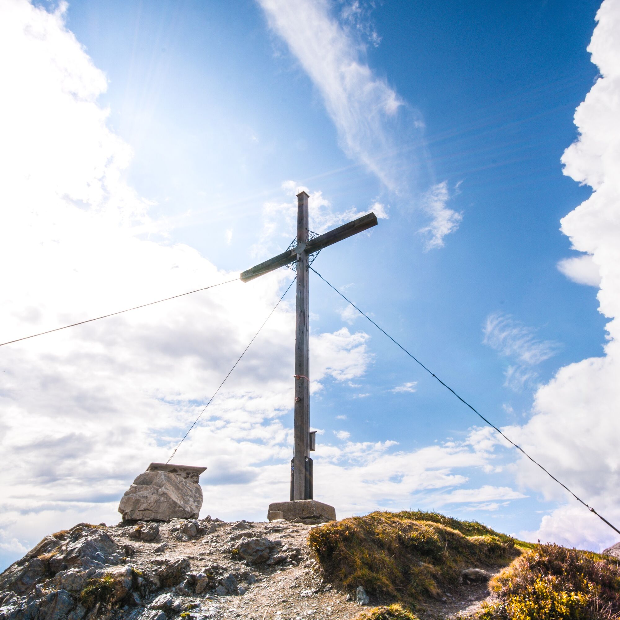
Grießenkareck
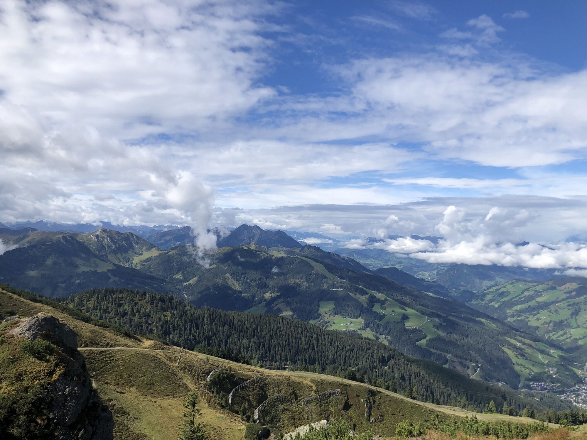

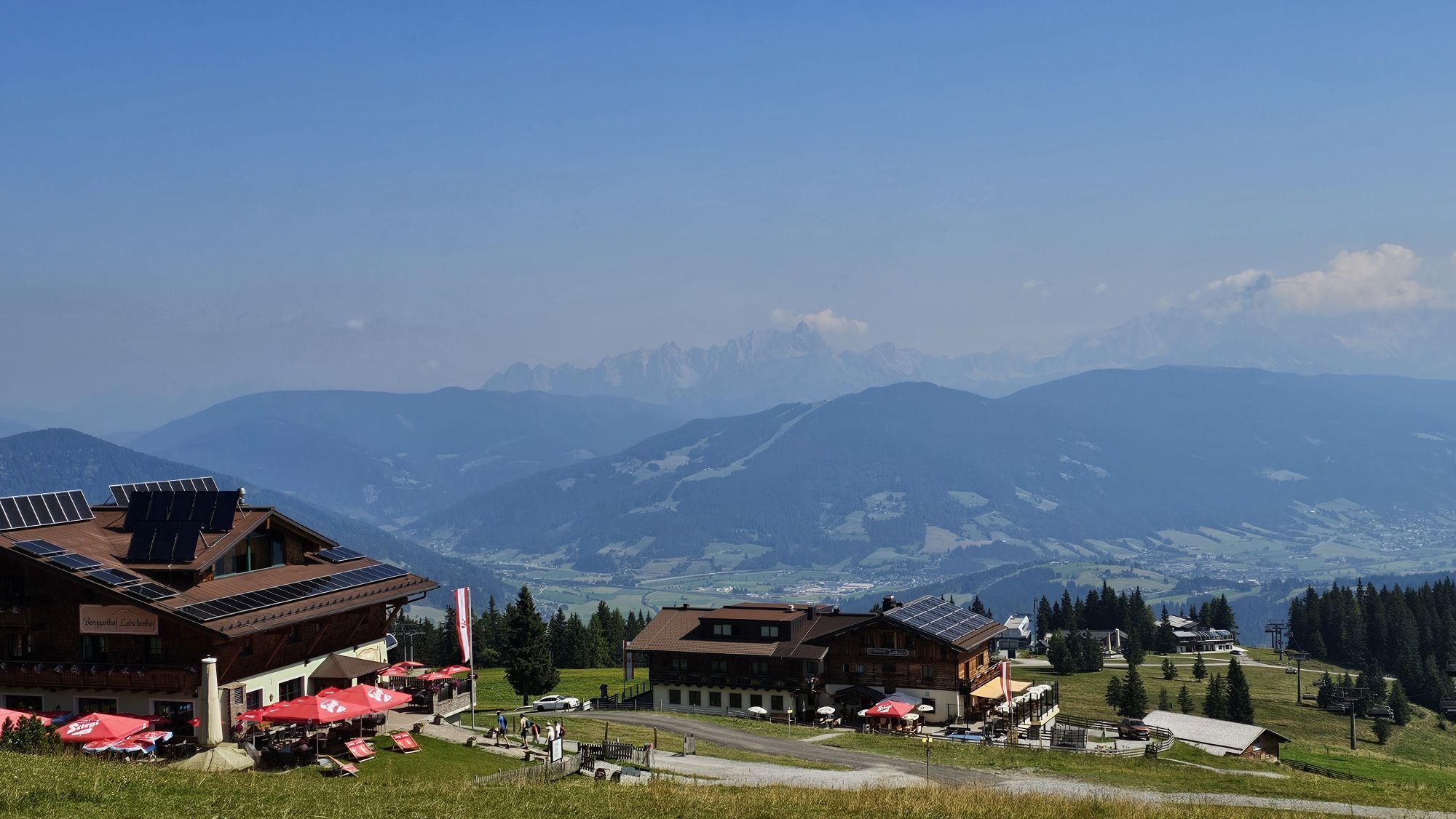
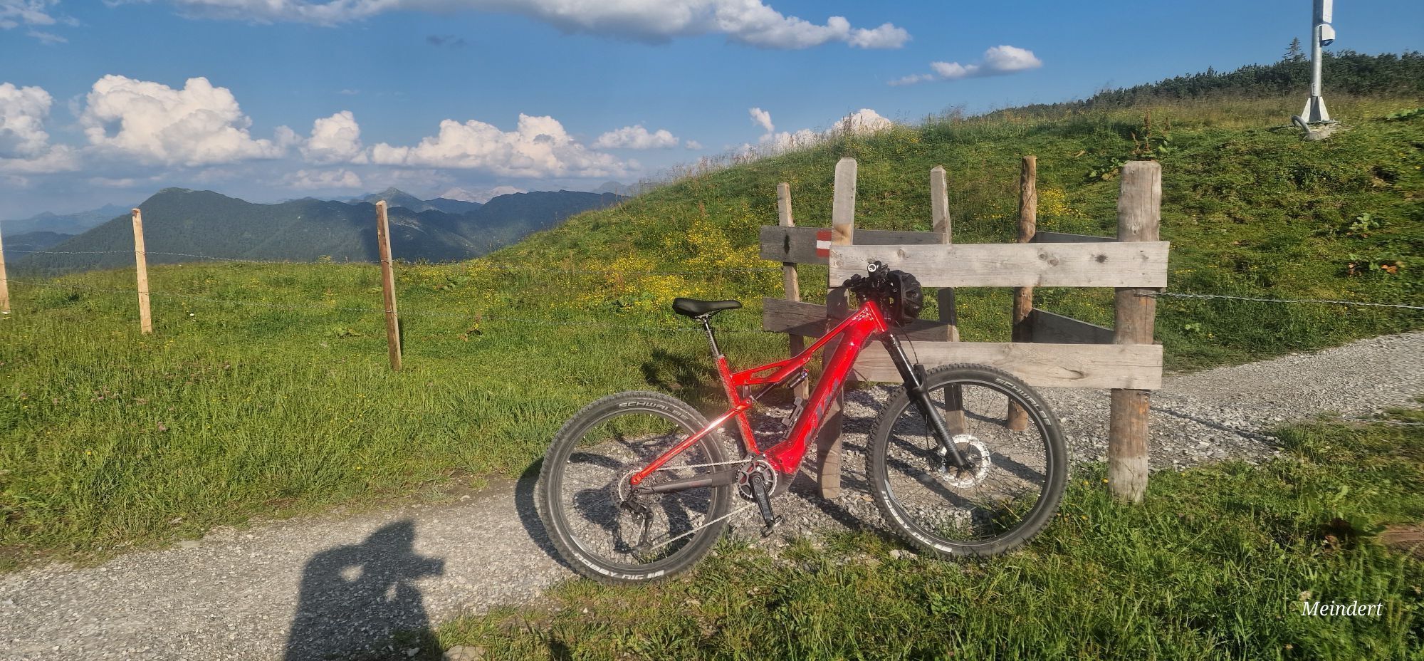
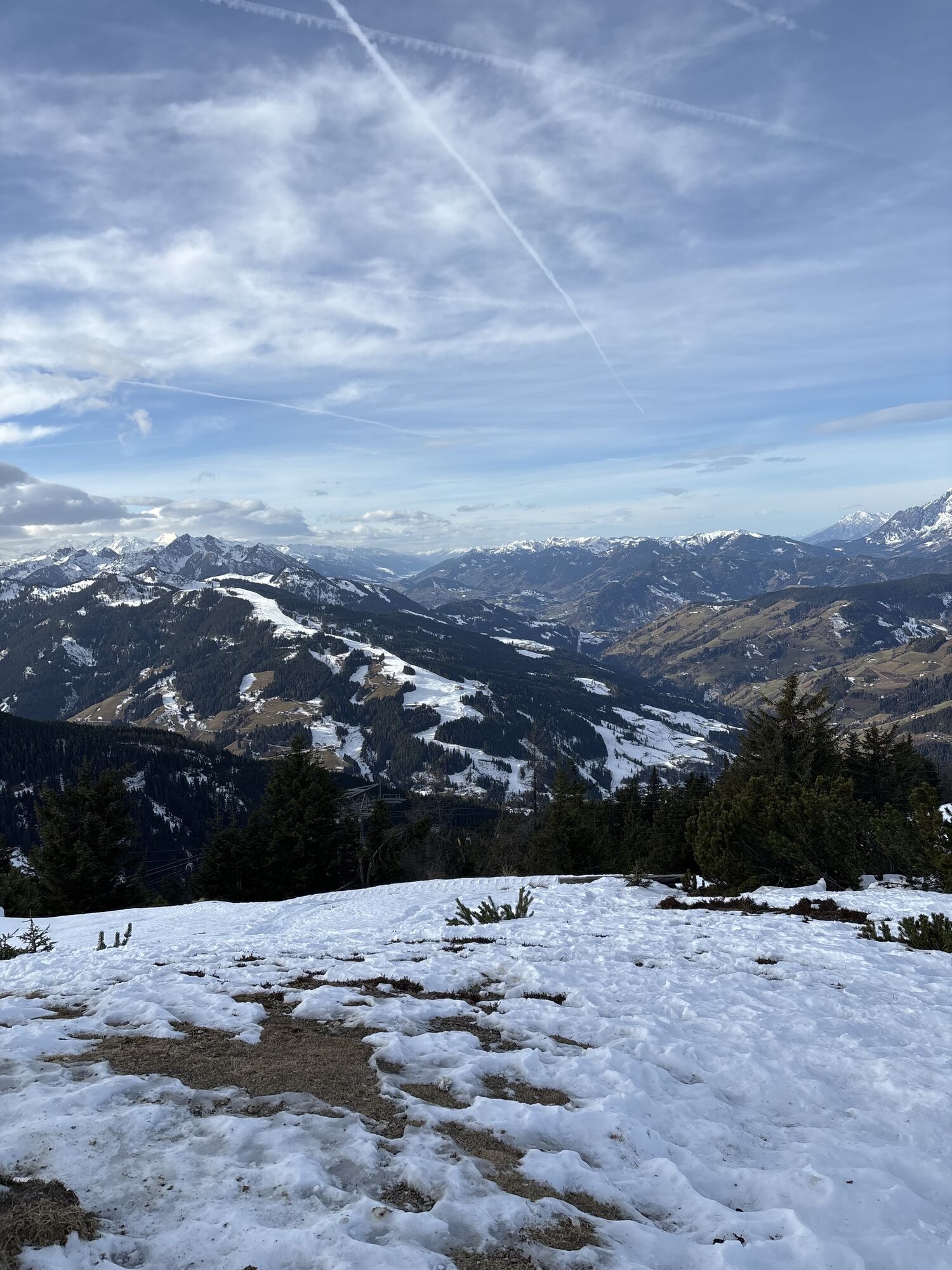
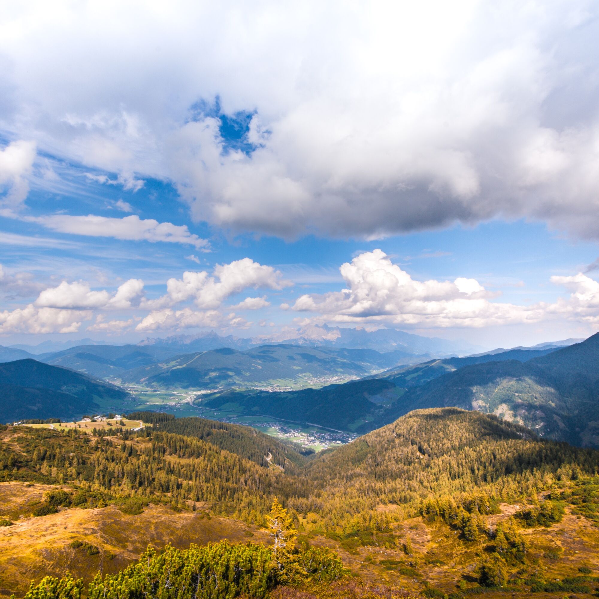
The hike starts after the ascent with the Starjet 1+2 cable cars (observe summer operating times) slightly above the mountain inn Latschenhof via hiking trail 41. Continue to the war memorial crosses and...
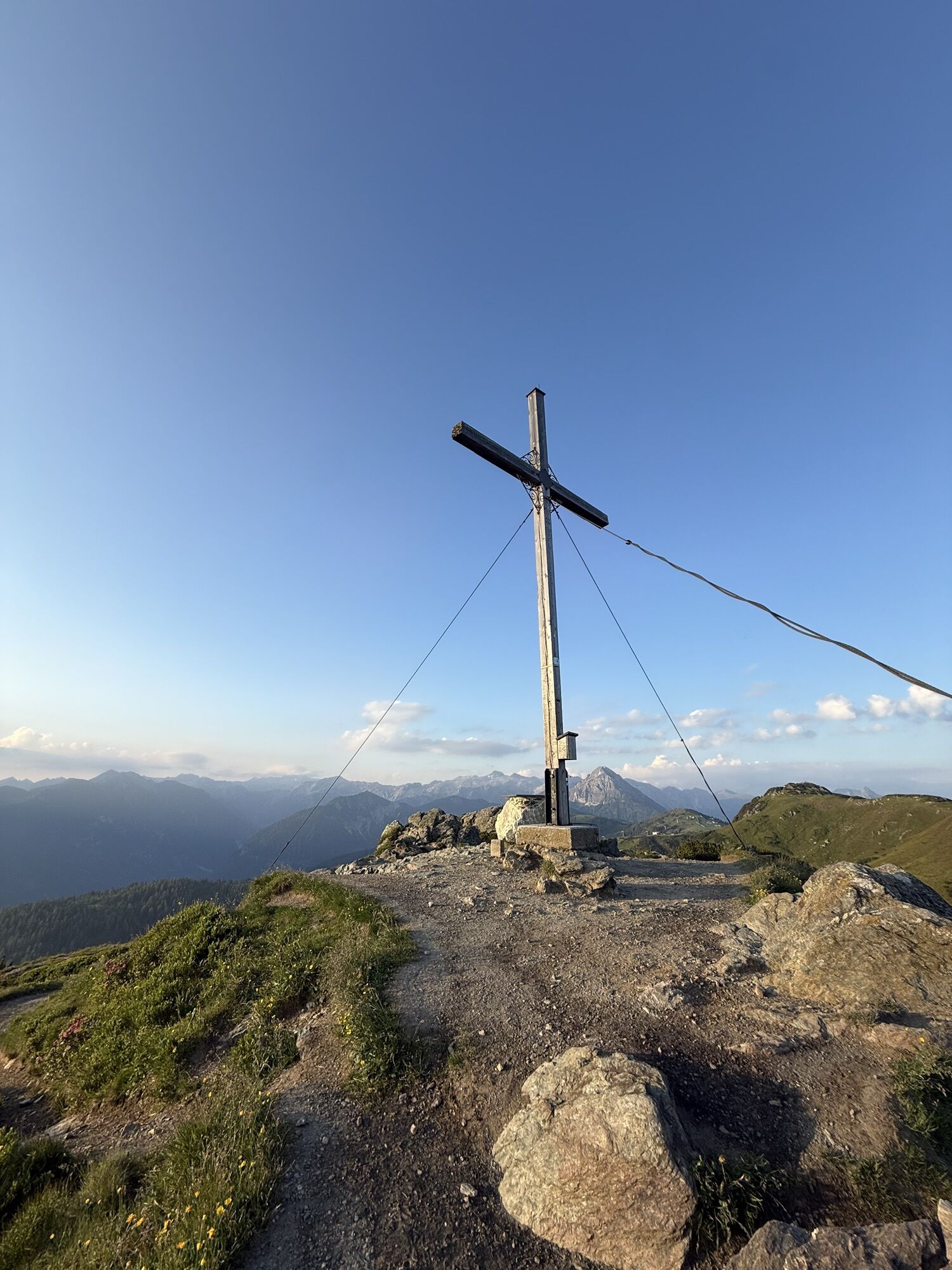
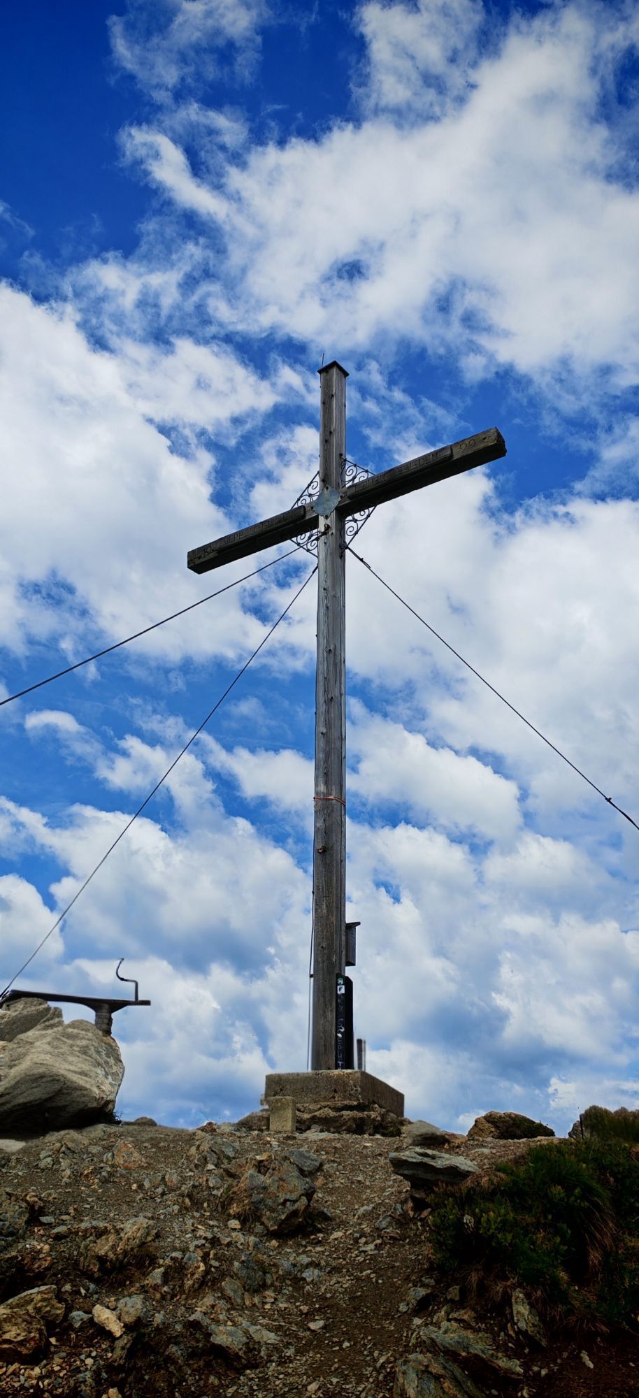
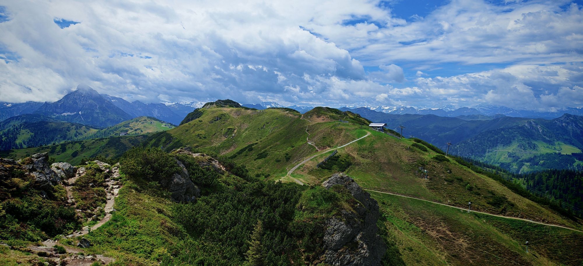
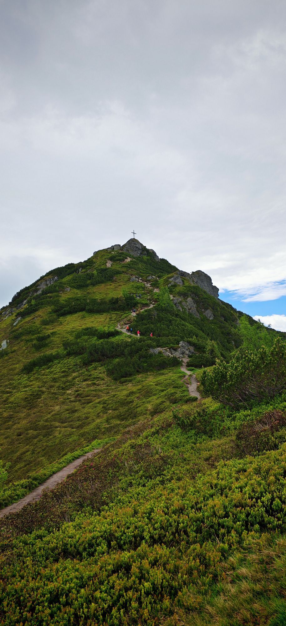
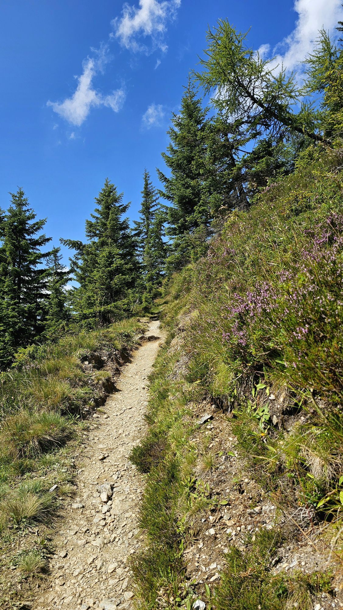
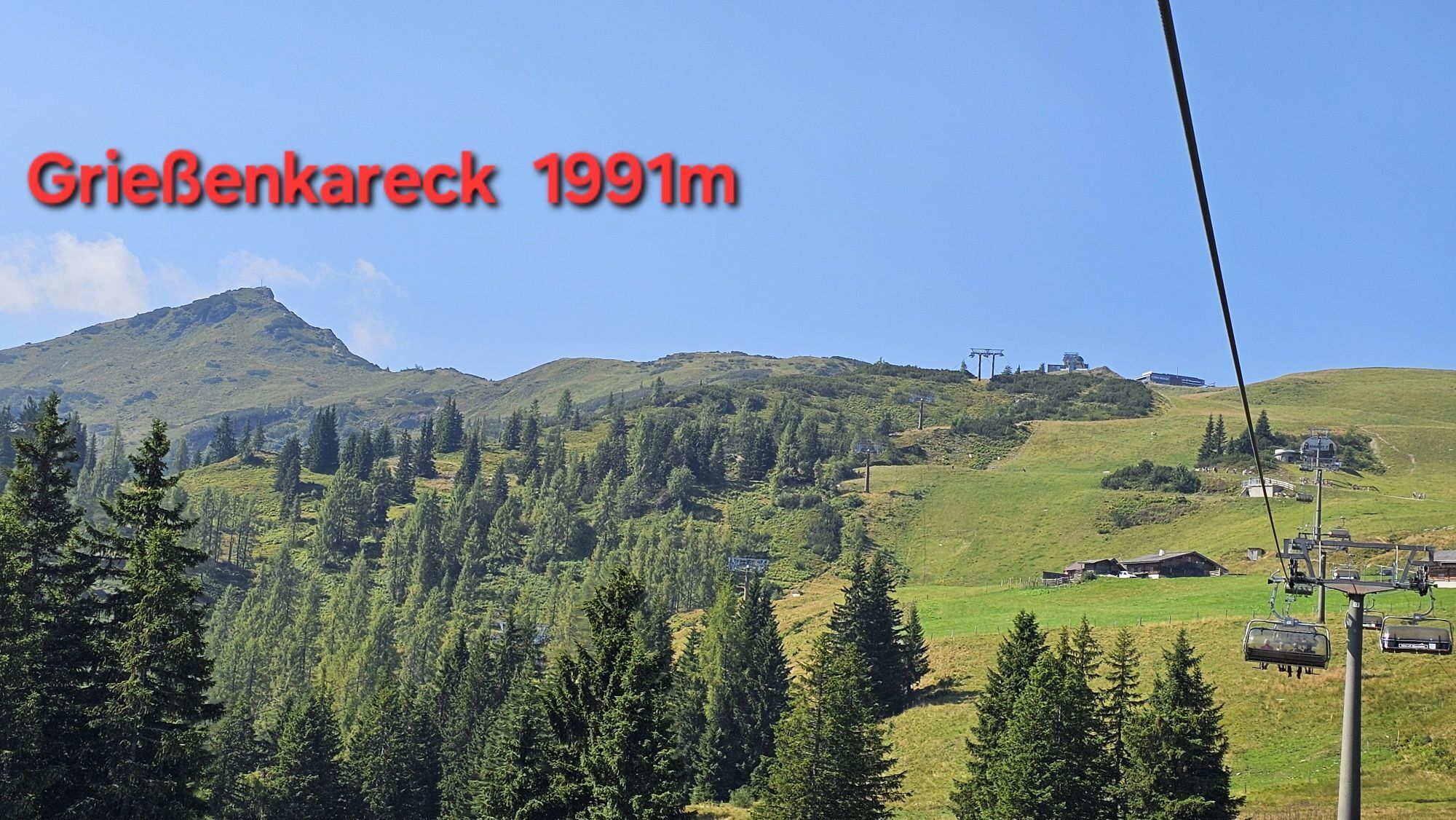
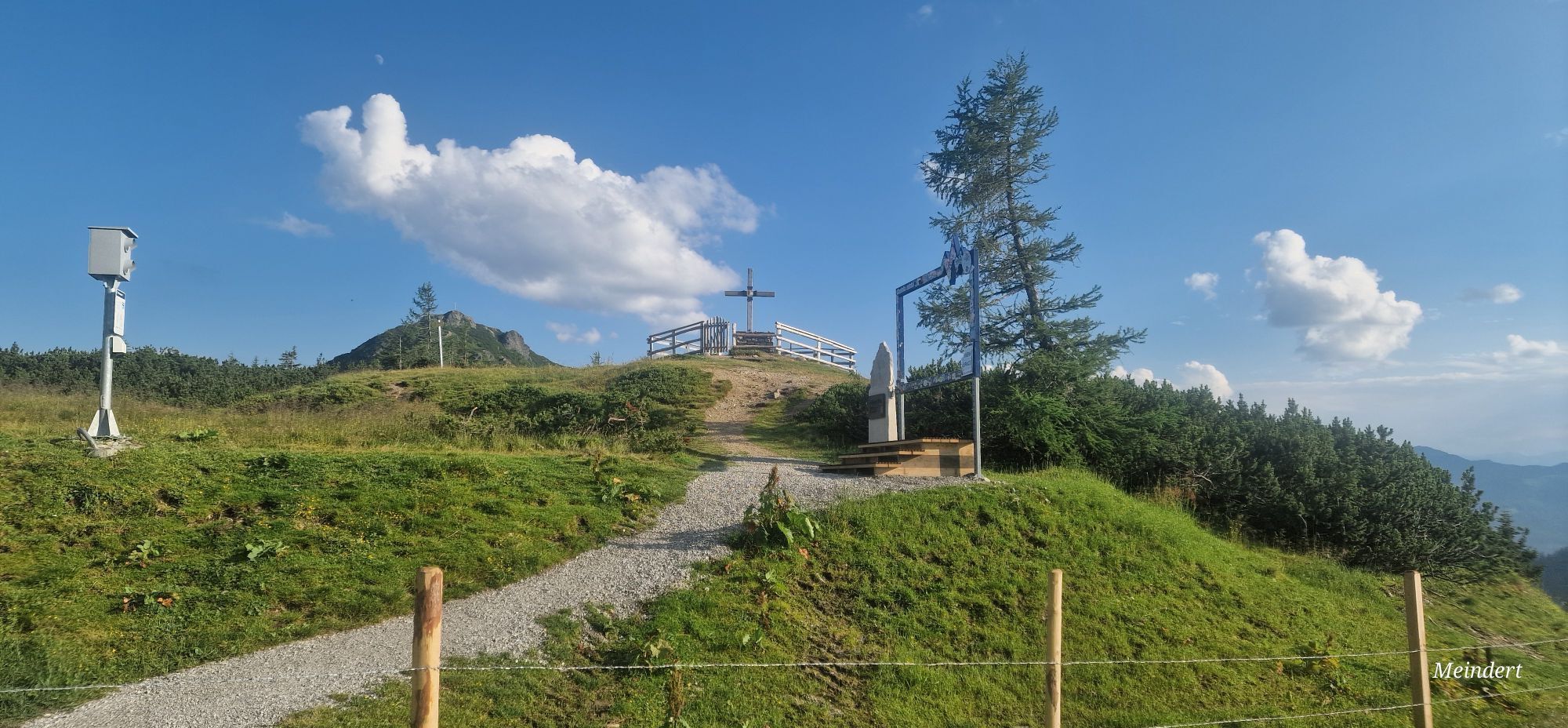
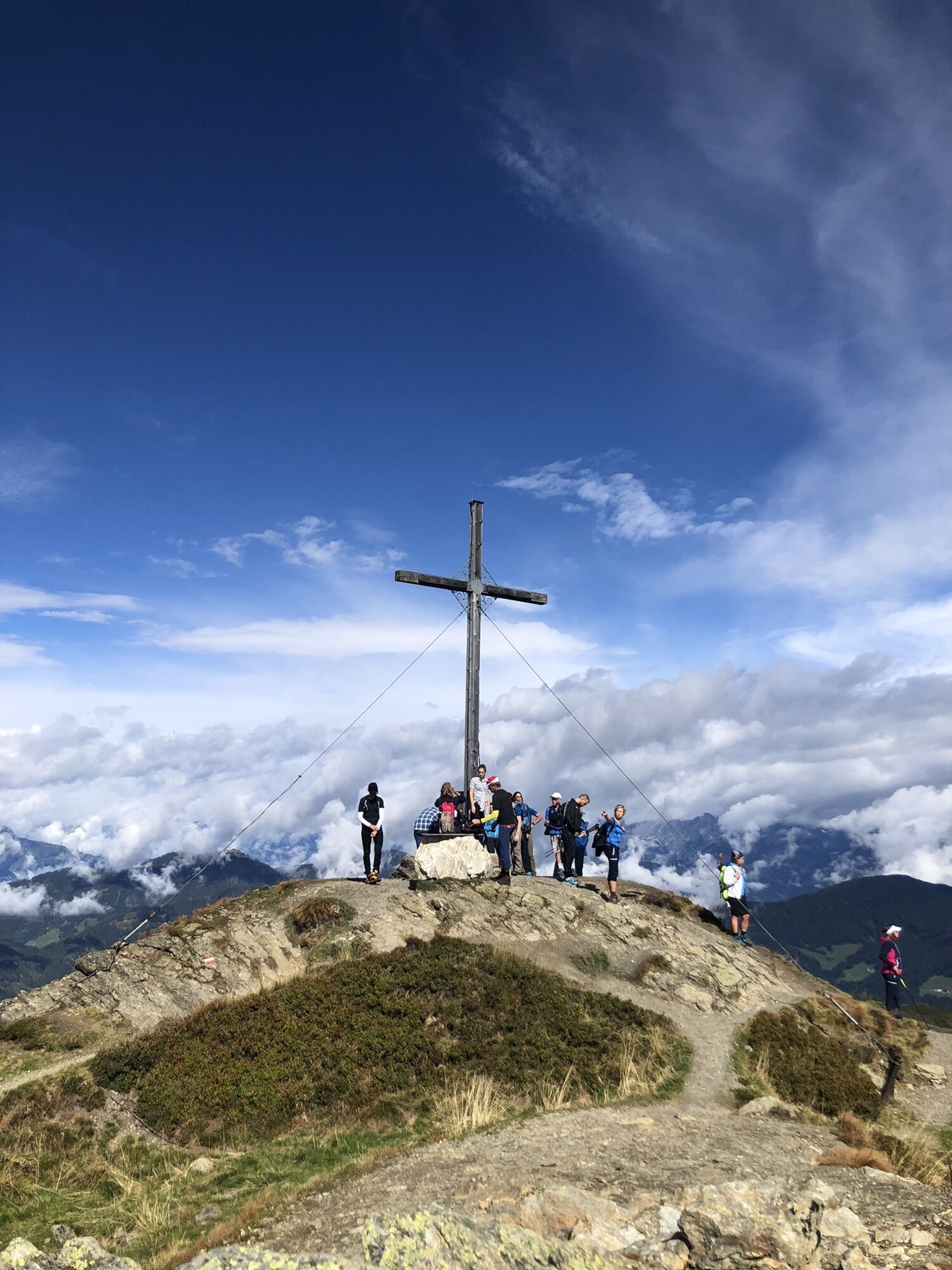
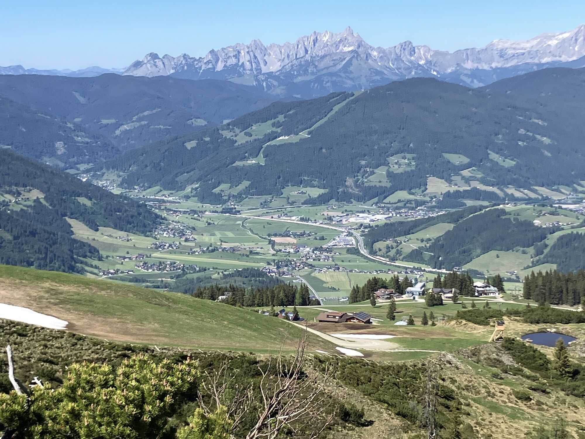
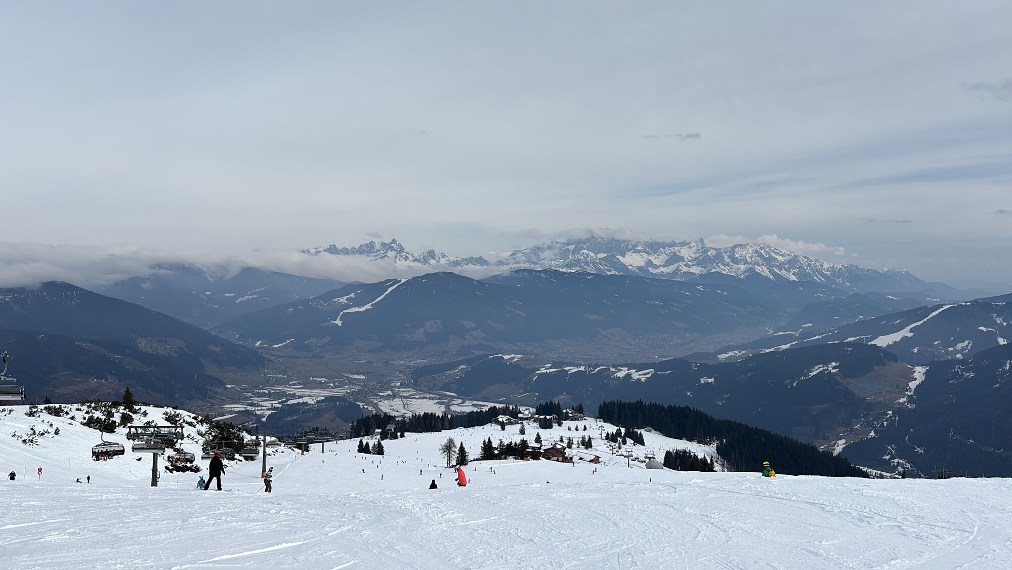
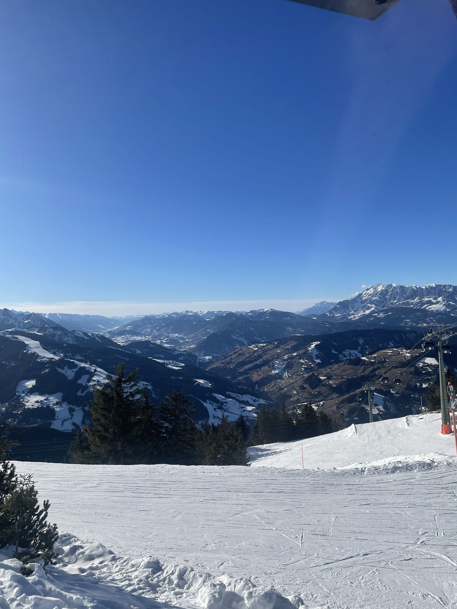
The hike starts after the ascent with the Starjet 1+2 cable cars (observe summer operating times) slightly above the mountain inn Latschenhof via hiking trail 41. Continue to the war memorial crosses and along the ridge to Grießenkareck (1991 m). For the last 15 minutes before the summit, sure-footedness and freedom from dizziness are required.
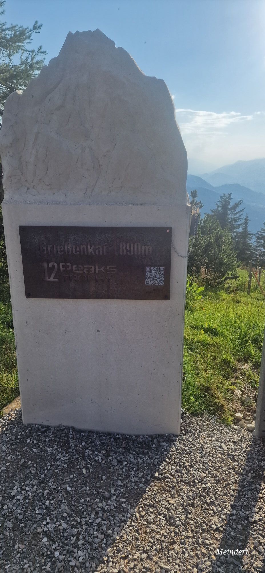
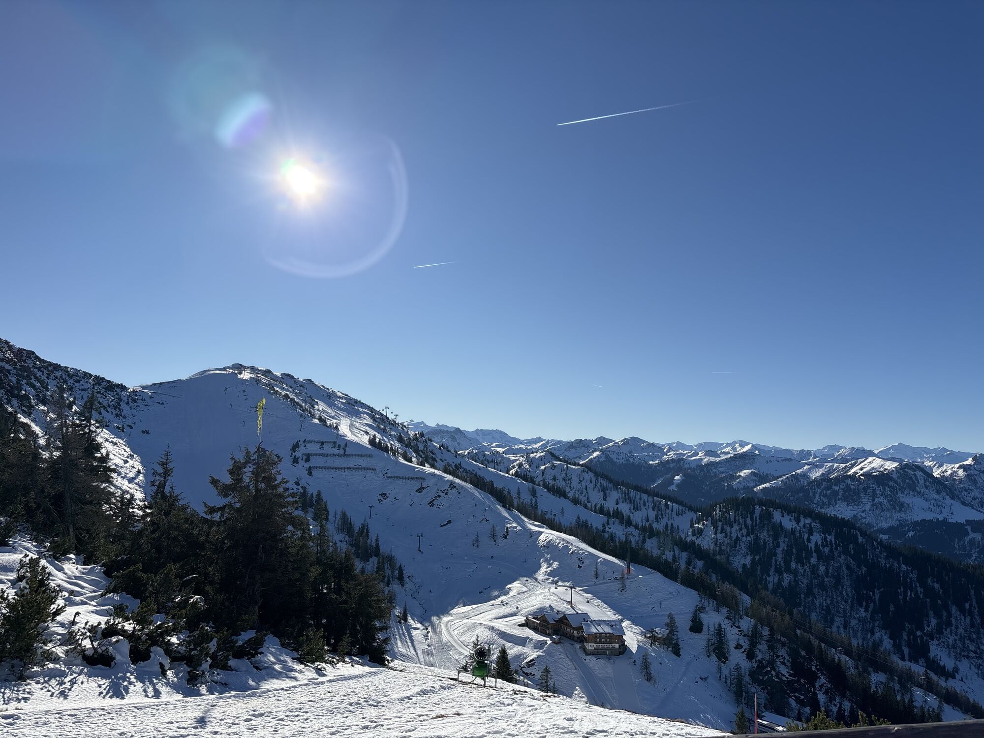
Alternative: From Flachau center, go quite steeply uphill via hiking trail no. 42 to the mid-station Starjet. From here, it continues moderately steeply via the newly created hiking trail no. 41 to the Grießenkar huts.
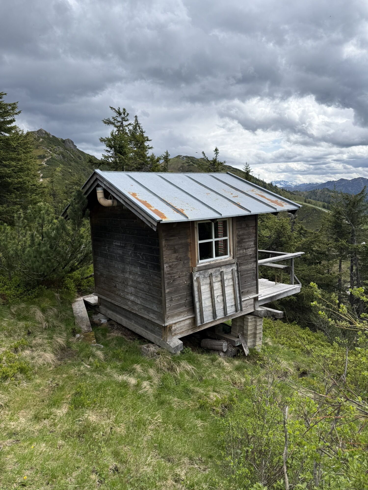
Places to eat: Waldgasthof, Jandlalm, Hofalm, Latschenhof;


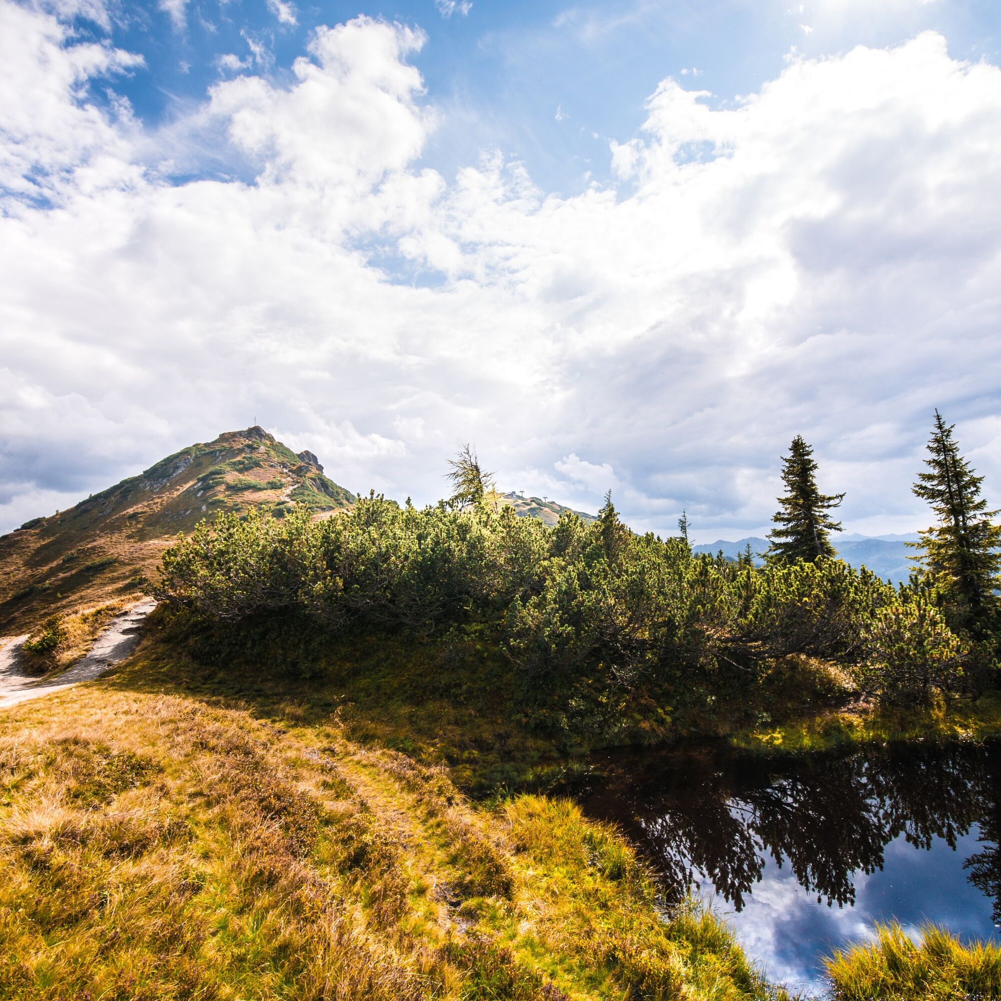
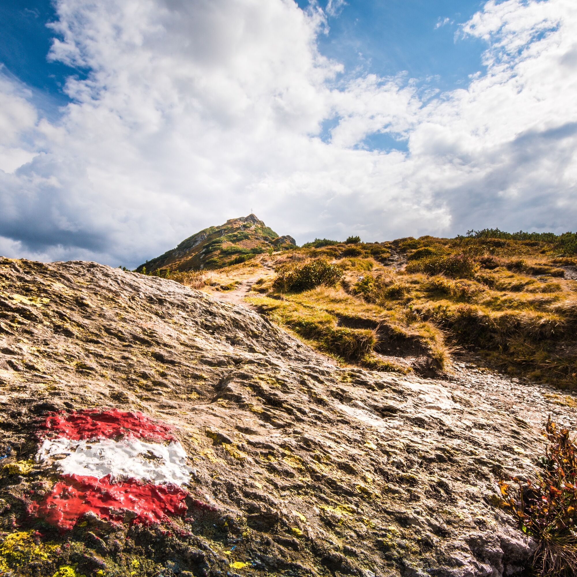
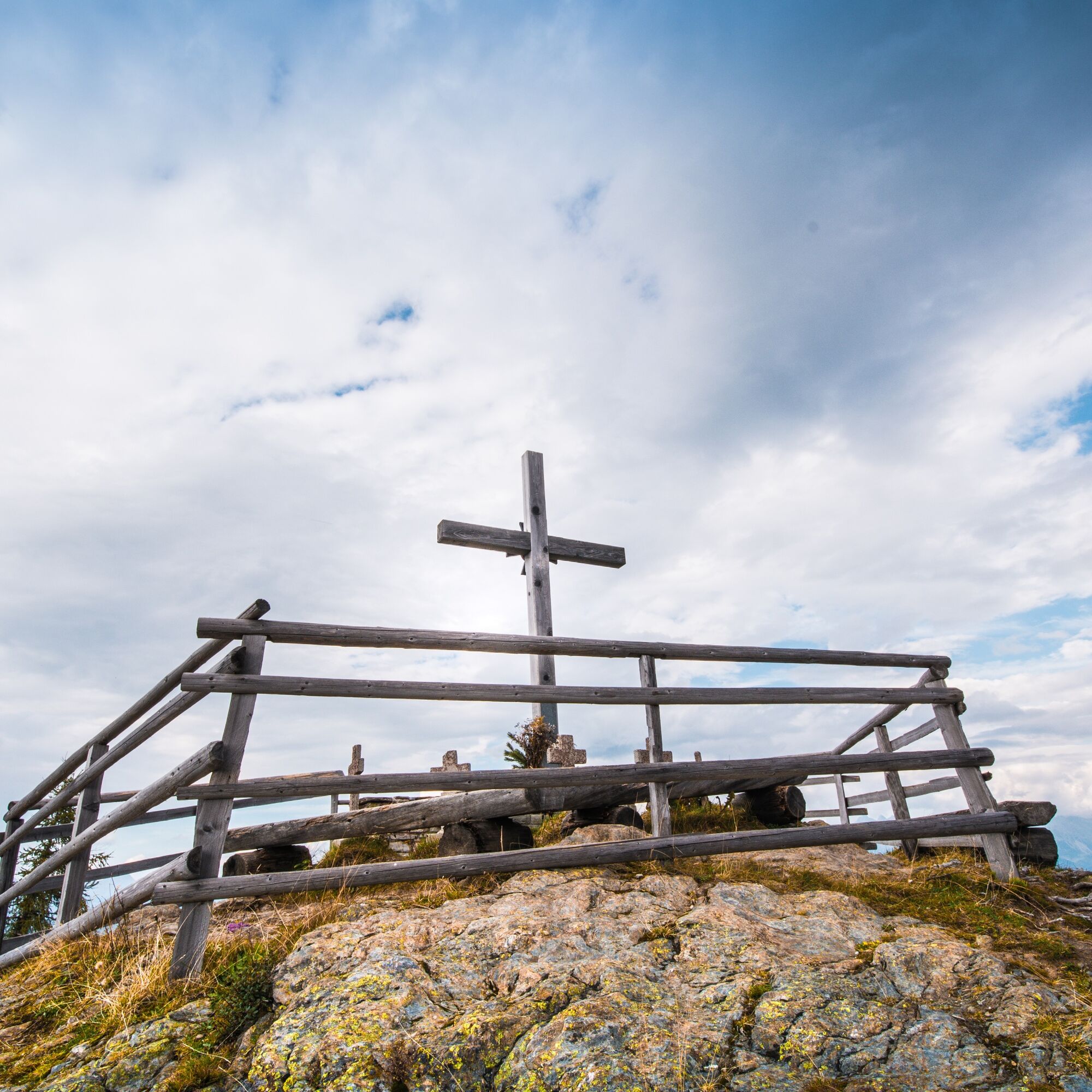
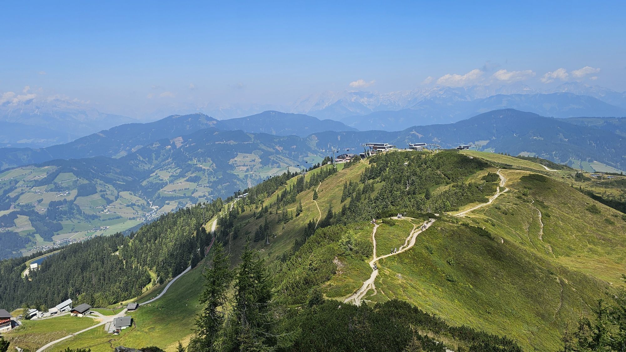
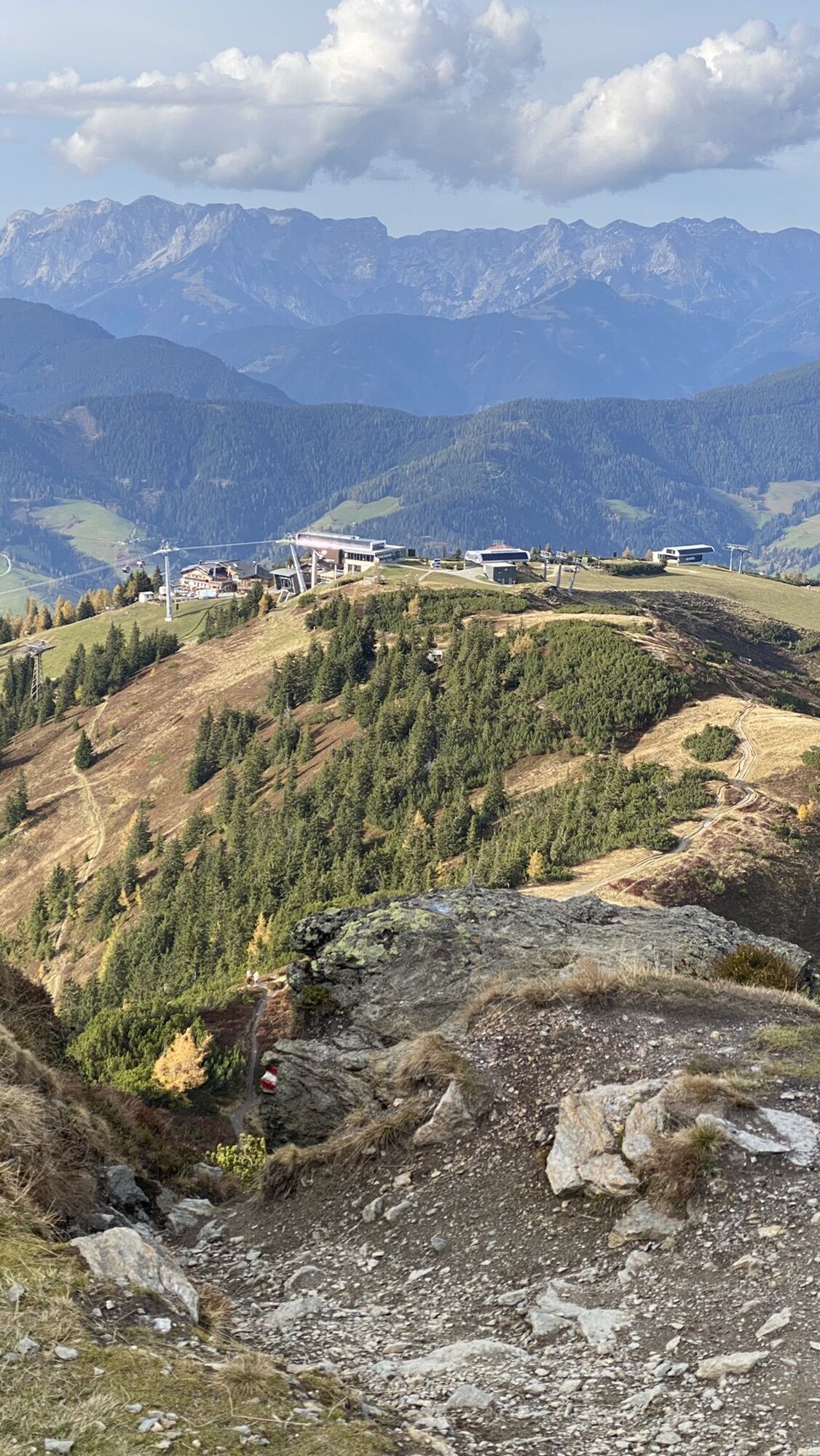
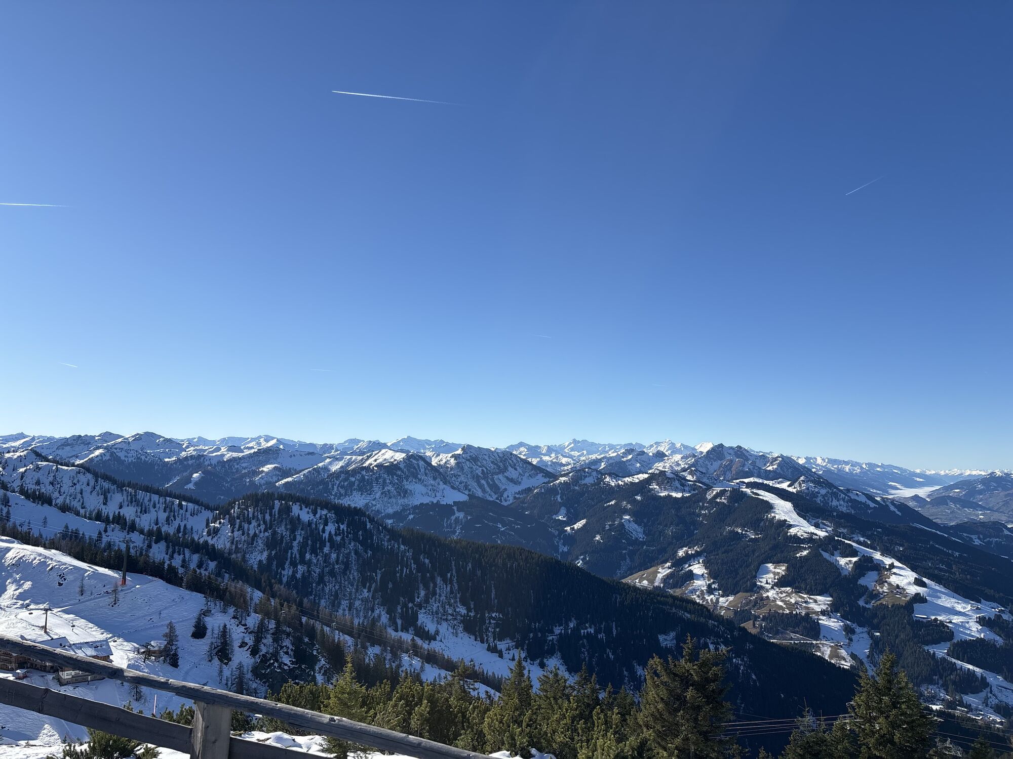
Flachau center - valley station "Starjet 1" - ascent with the summer lifts "Starjet 1 & 2" up to the mountain inn Latschenhof - above the mountain inn, turn into hiking trail no. 41 - past the war memorial crosses and along the "Schneid" to the Grießenkareck (1991 m) - then turn right at the fork onto trail no. 45A - after a few minutes' walk, there is another fork, turn left here - continue to the mountain station Starjet 2
Tak
Tak
The basic equipment of a hiker includes:
sturdy, high shoes with non-slip soles appropriate mountain clothing enough to drink snacks for in between sunglasses, if necessary sunscreen or rain protection mobile phone hiking poles first aid kitPlanning & preparation: Thorough route planning is recommended before every mountain tour. Information from locals such as mountain guides or hut hosts, as well as hiking maps, will help you.
Check weather forecast: A must-do before every hike. The weather can change suddenly in the mountains. Pay attention to current weather conditions at: www.zamg.ac.at.
Important tips:
do not overestimate yourself manage strength and endurance well assess sure-footedness & freedom from dizziness do not dislodge stones turn back in time if the weather changesMountain rescue number: The telephone number 140 is the emergency number for alpine accidents in Austria
In the town center of Flachau is the valley station of Starjet 1.
Take the Sportweltbus to the Flachau Ortsmitte/Star Jet station. From here, it is about a 5-minute walk to the valley station of the summer lift operation of Starjet 1 and Starjet 2.
From June to September, the Sportweltbus is the ideal feeder and return service for your hiking tours throughout the region (Flachau, Wagrain-Kleinarl, St. Johann-Alpendorf, Radstadt, Altenmarkt-Zauchensee, Eben, Filzmoos, Obertauern, Großarl & Hüttschlag).
With the "Guest Mobility Ticket" you can use the Sportweltbus free of charge. You will receive the ticket from your host.
More information can be found at: https://www.flachau.com/de/info/vor-ort/sportweltbus.html
Further bus connections: www.salzburg-verkehr.at
Parking spaces are available in the town center of Flachau (BBF Center & Mini Golf Parking Lot).
More about hiking in Flachau can be found at: https://www.flachau.com/sommer/wandern/
Info about the weather on site: https://www.flachau.com/live/ or www.zamg.ac.at
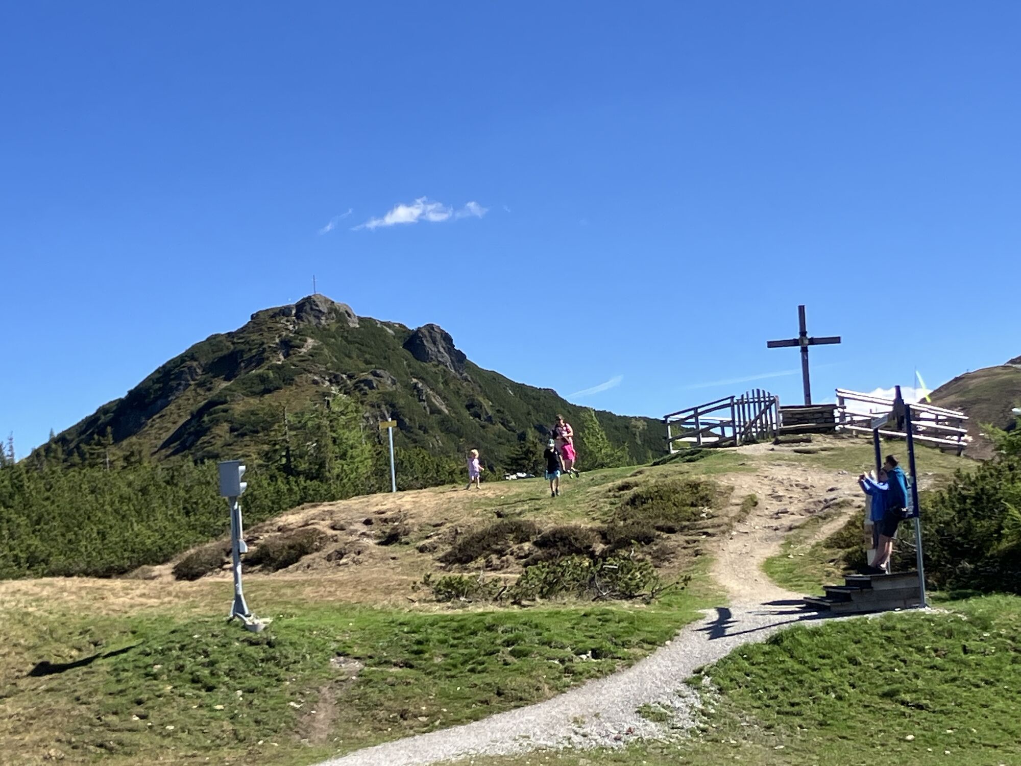
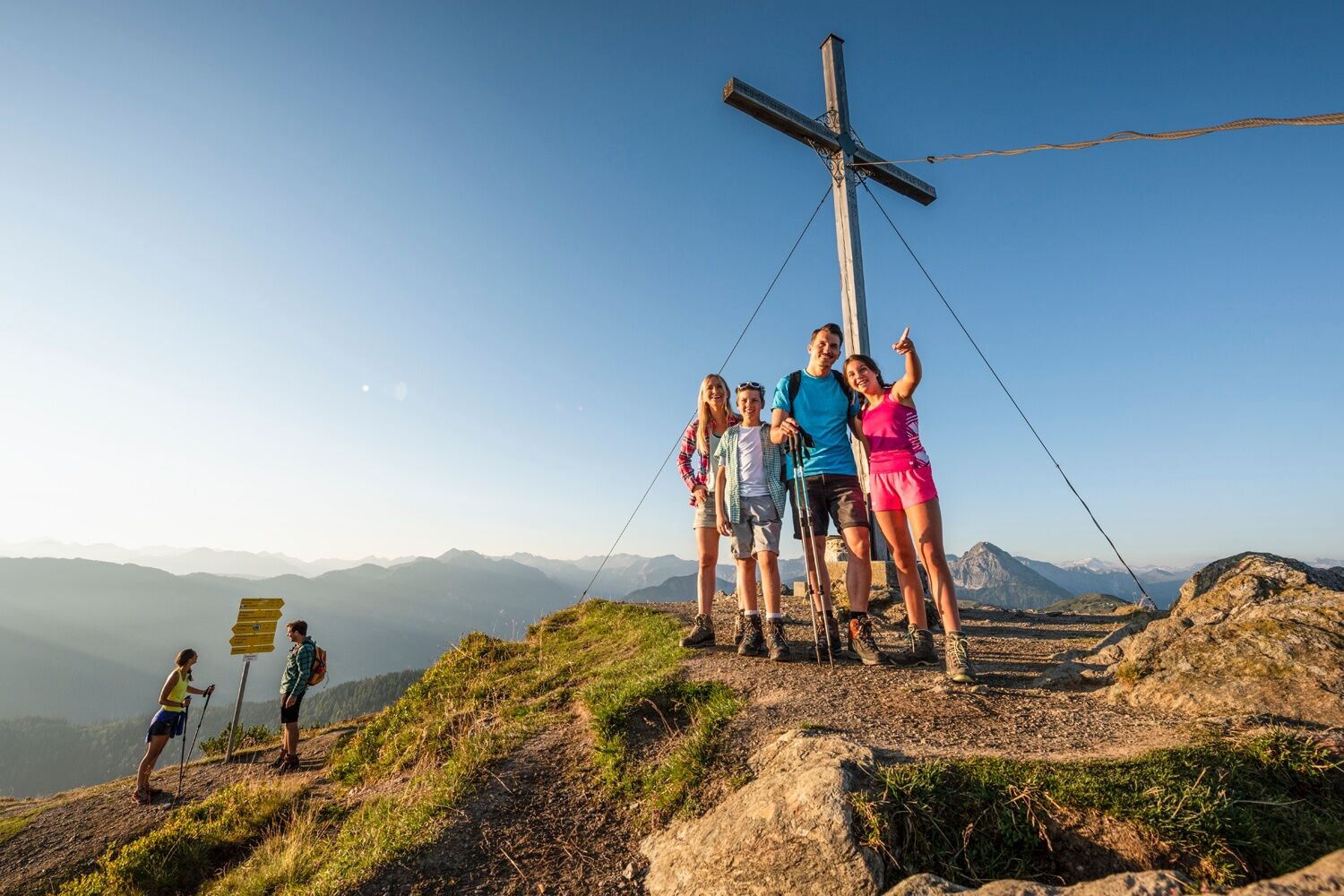
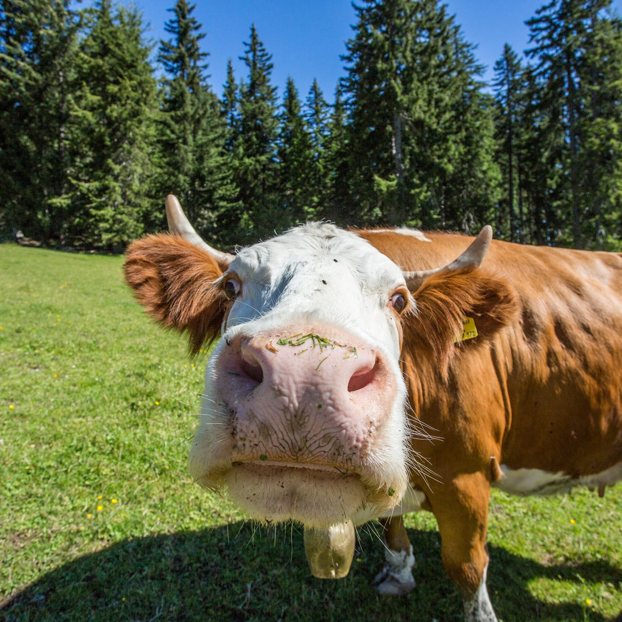
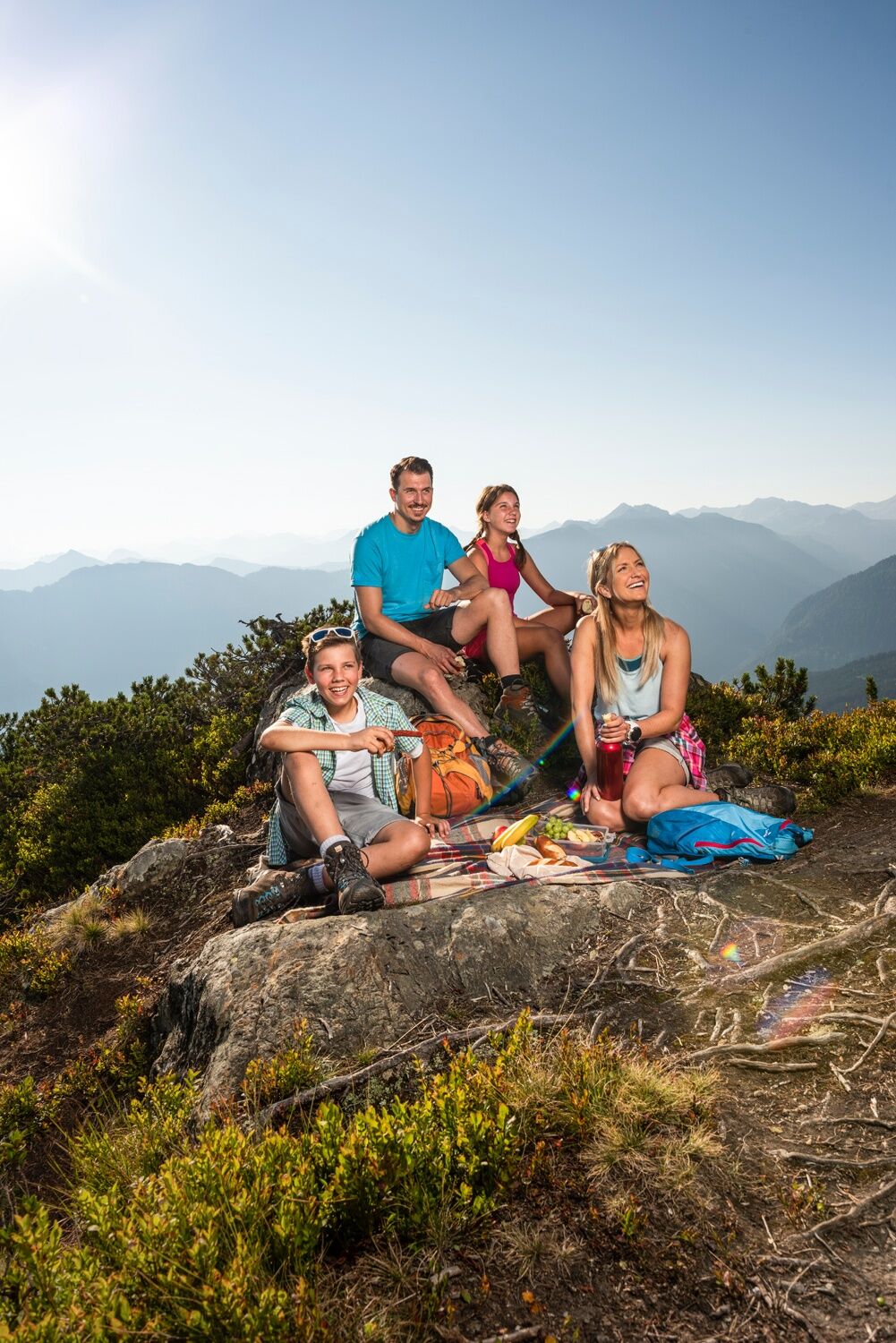
A hike especially suitable for families to celebrate a real summit victory together.
Kamery internetowe z trasy


Popularne wycieczki w okolicy
- 5,0
Großarl: Alpine pasture circuit in Ellmautal
średniWędrówka 9,69 km - 4,7
Großarl: Mooslehenalm – Niggeltalalm – Viehhausalm
średniWędrówka 5,44 km - 4,1
Tappenkarsee Kleinarl
średniWędrówka 9,11 km - 4,7
Ski route Lackenkogel
średniWycieczka narciarska 7,82 km - 4,6
Großarl: Saukaralm - Saukarkopf - Gerstreitalm
średniWędrówka 9,39 km - 4,2
Großarl: Unterwandalm - Karseggalm - Breitenebenalm
średniWędrówka 5,93 km - 4,5
Mosermandl Windischscharte, Salzburger Land/Österreich
ciężkiWędrówka 14,6 km - 4,8
Liechtensteinklamm mit Helix
światłoTrasa tematyczna 3 km - 4,3
Ennskraxn (2410m)
ciężkiWędrówka 14,7 km - 4,8
Grossarl: Gründegg
średniWędrówka 9,58 km
Wędrówki i tropienie


Nie przegap ofert i inspiracji na następne wakacje
Twój adres e-mail została dodana do listy mailingowej.