


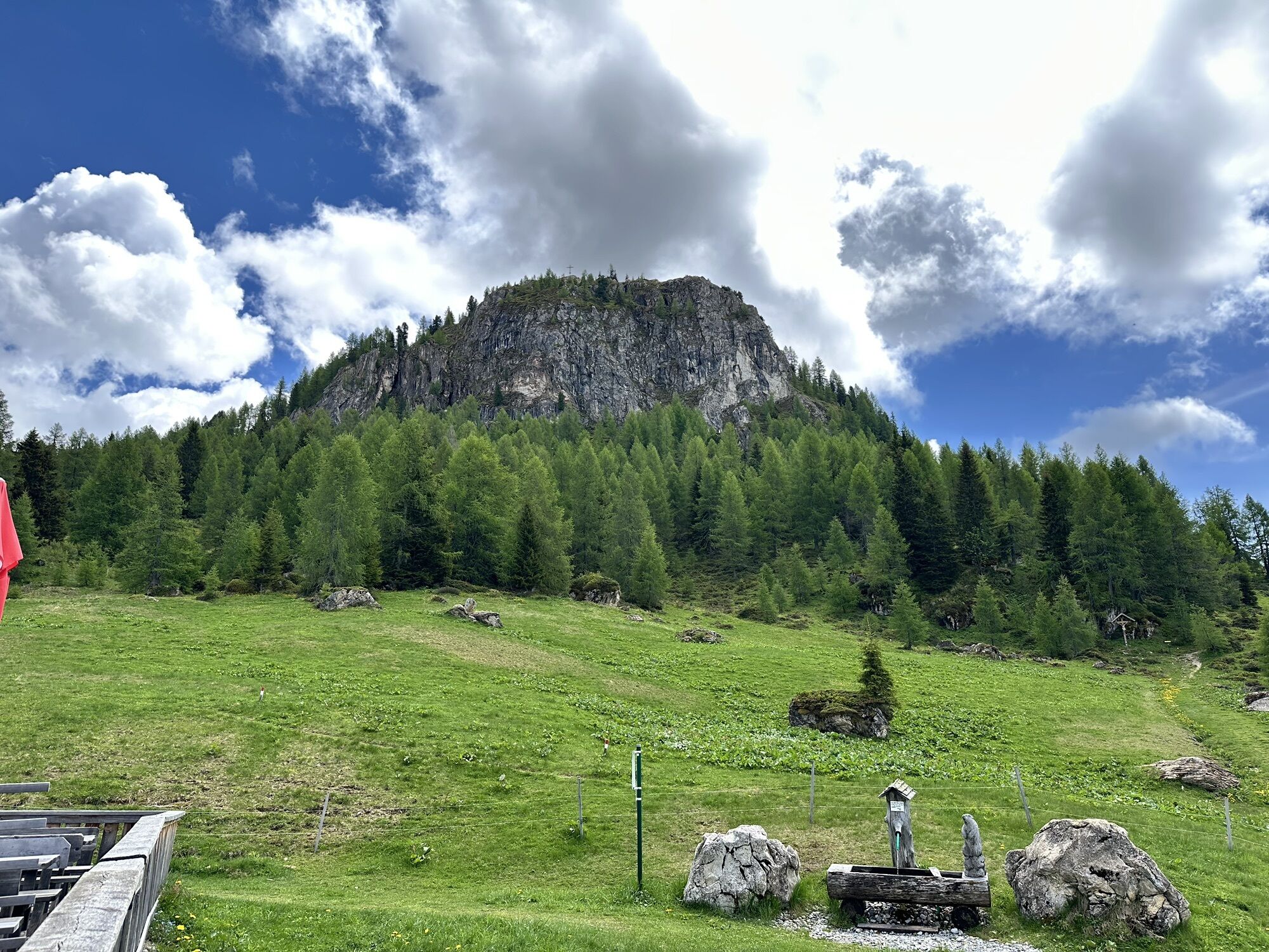
Großarl: Saukaralm - Saukarkopf - Gerstreitalm
Poziom trudności: T2
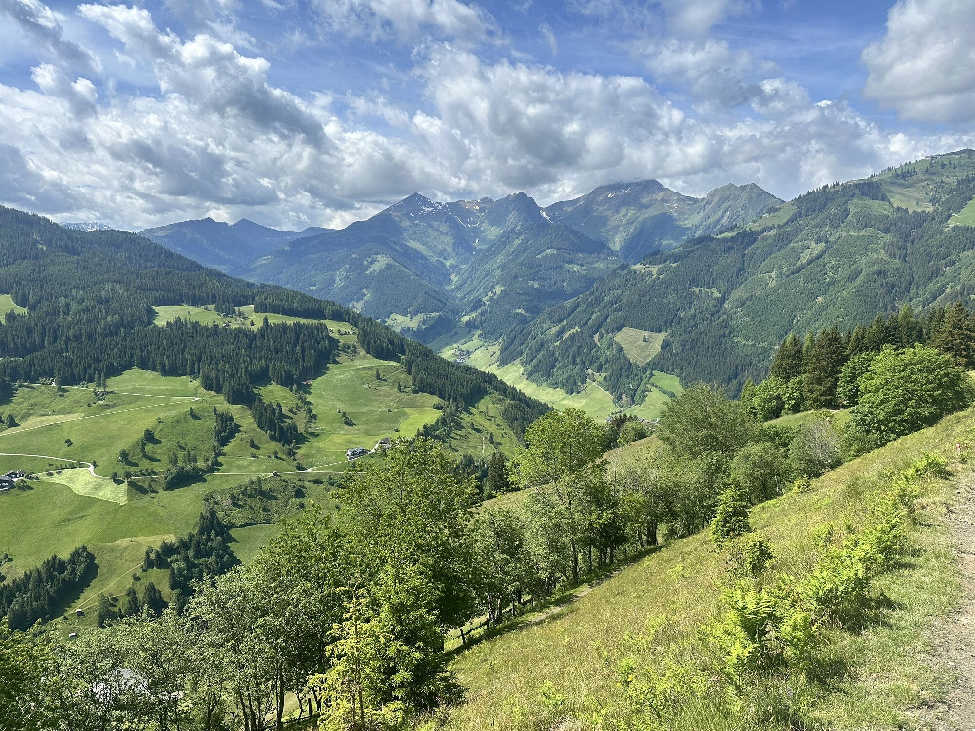
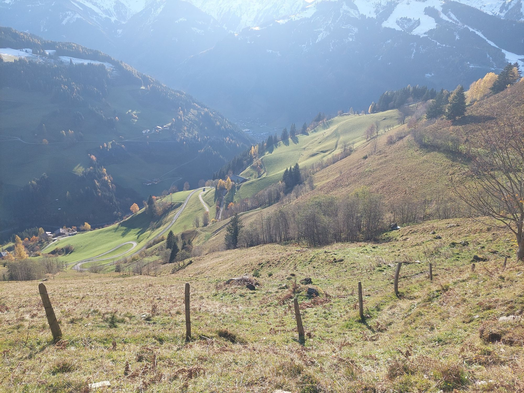


This perfect mountain hike starts at the Vorderstadluck parking area, which can be reached by car or hiking taxi. It will delight athletic hikers as well as those who enjoy leisurely walks and appreciate...
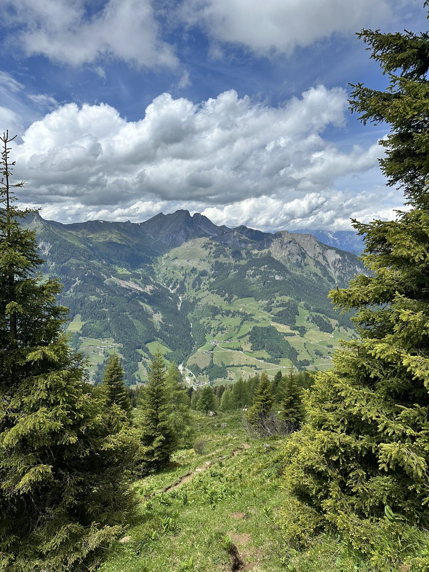
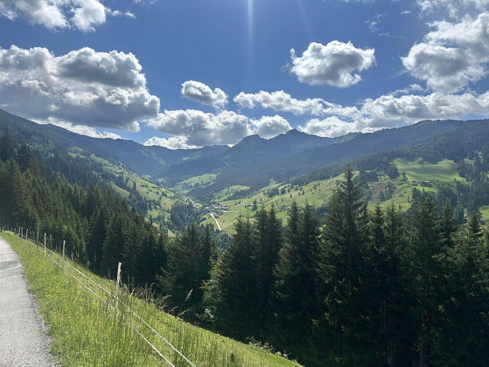
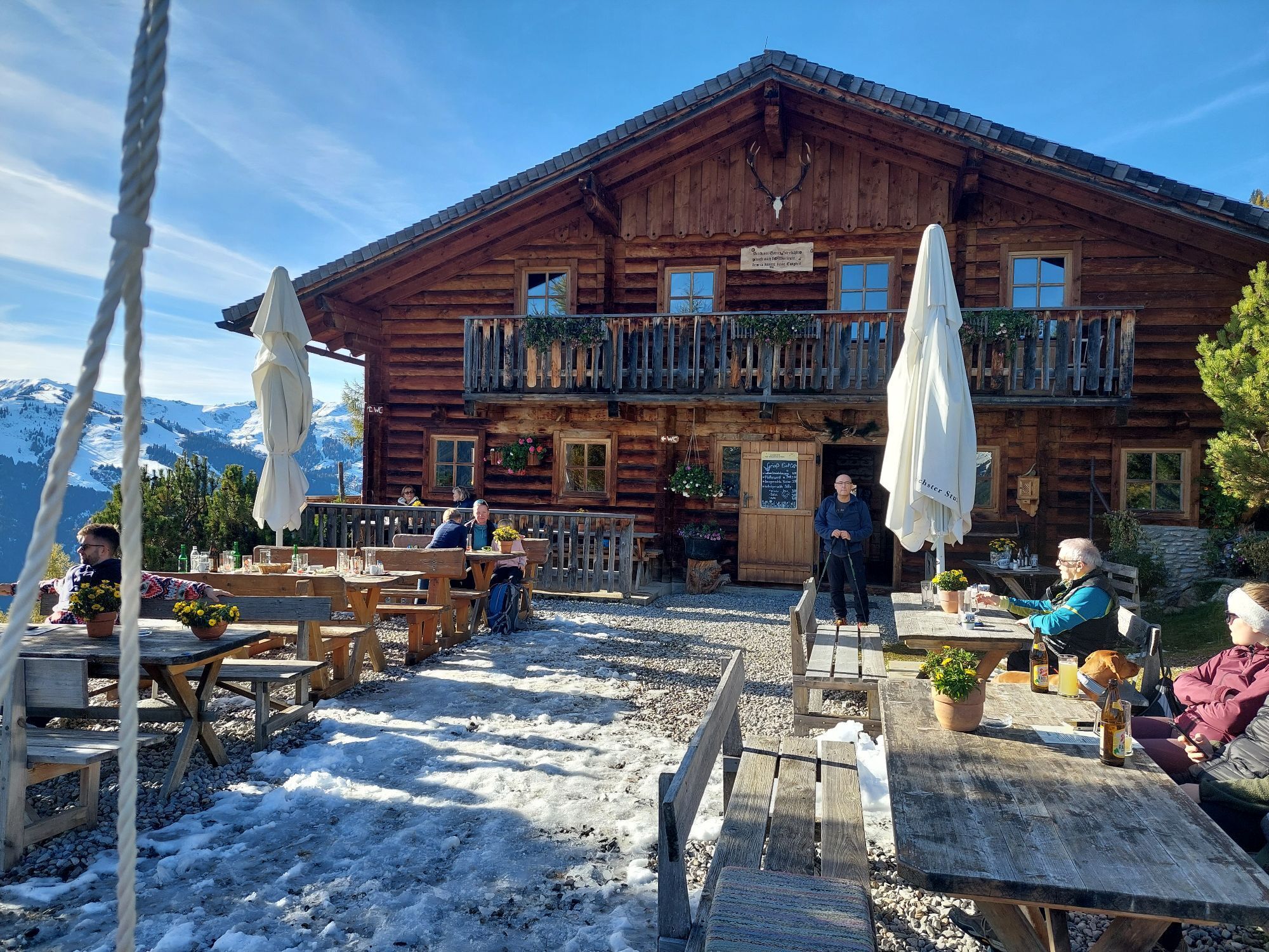
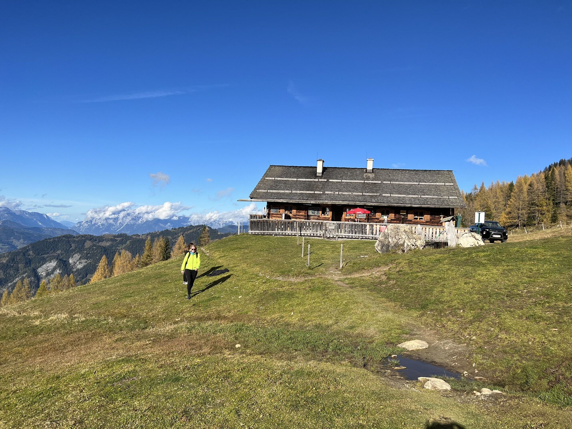
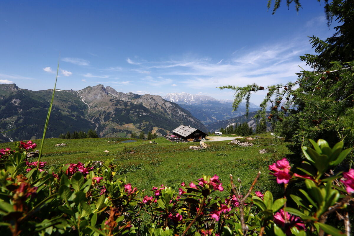
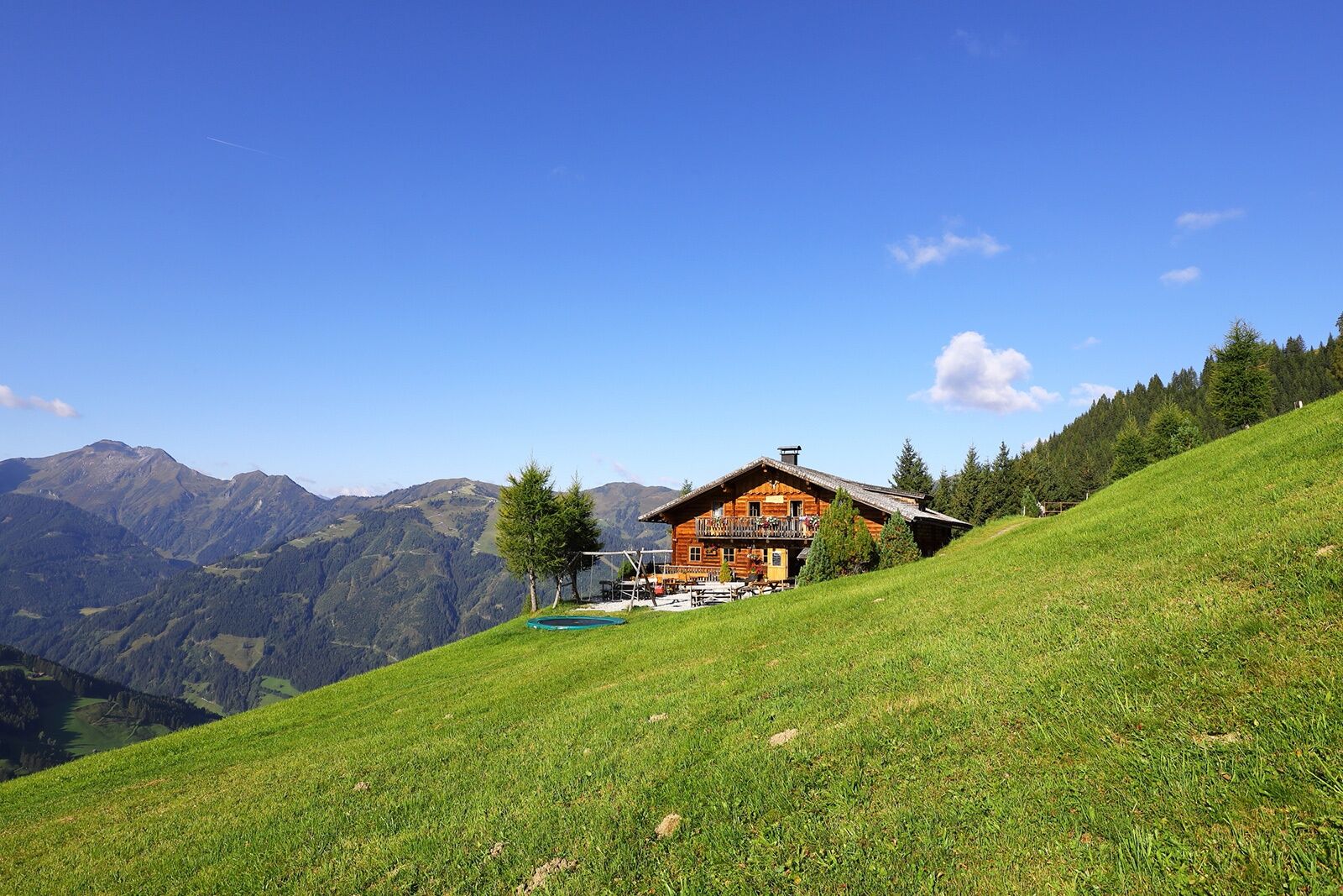
The descent takes you back to the Saukaralm and on via the hiking trail to the Gerstreitalm. There, regional delicacies, a sun terrace and alpine life invite you to take a break and relax. To return to the starting point of this circular tour, simply follow the hiking trail.
This tour promotes respectful treatment of alpine pastures, meadows and mountain peaks, harmoniously combining enjoyment of nature, exercise and alpine culture.
Please note: Grossarl is part of the ‘Austrian Hiking Villages’ scheme. As a certified hiking trail in Grossarltal, this route has been awarded the Austrian Hiking Quality Seal. The trail is therefore part of a network of hiking routes that has been assessed against strict guidelines and is regularly monitored.
Tak
Tak
Hiking boots with lug soles, hiking map, backpack with provisions, water bottle, and first aid kit
Drive by car or hiking taxi to the Vorderstadluck parking lot, or take the car or Postbus line no. 540 to the town center of Großarl (parking available at the Viehhauser gas station), then continue on foot along the Sonnseitweg via Hertas Rast to Vorderstadluck farm (+ 1 hour walking time).
Vorderstadluck parking lot
T2
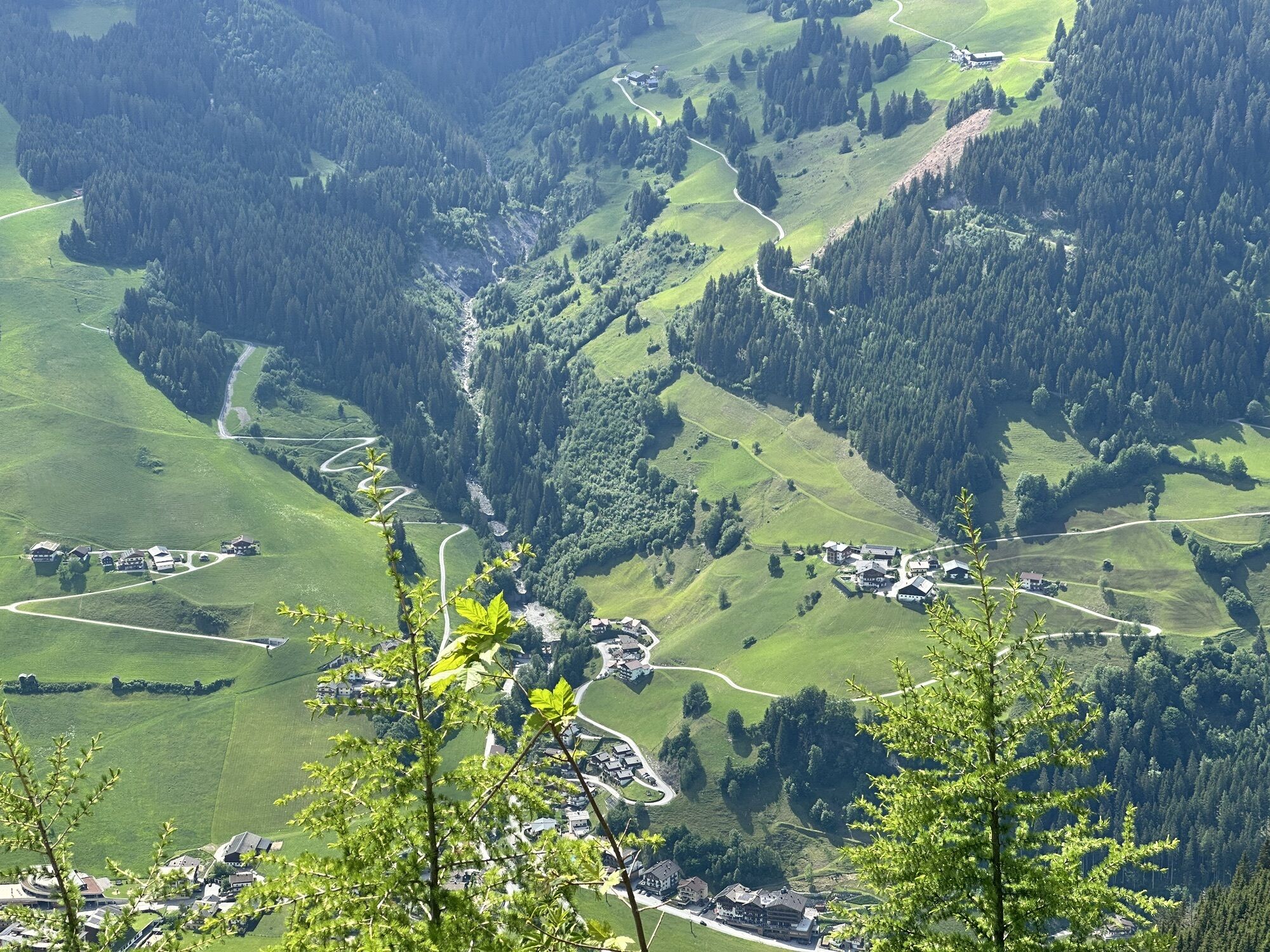
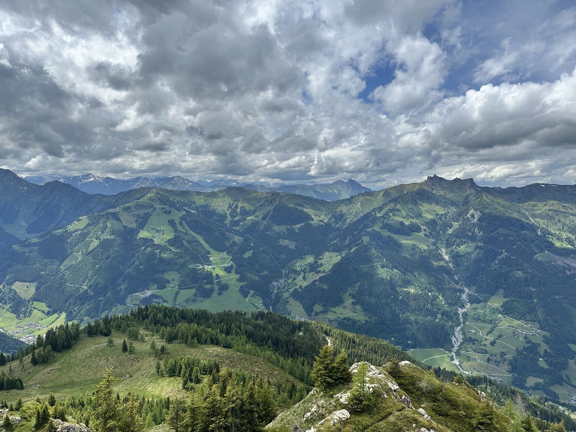
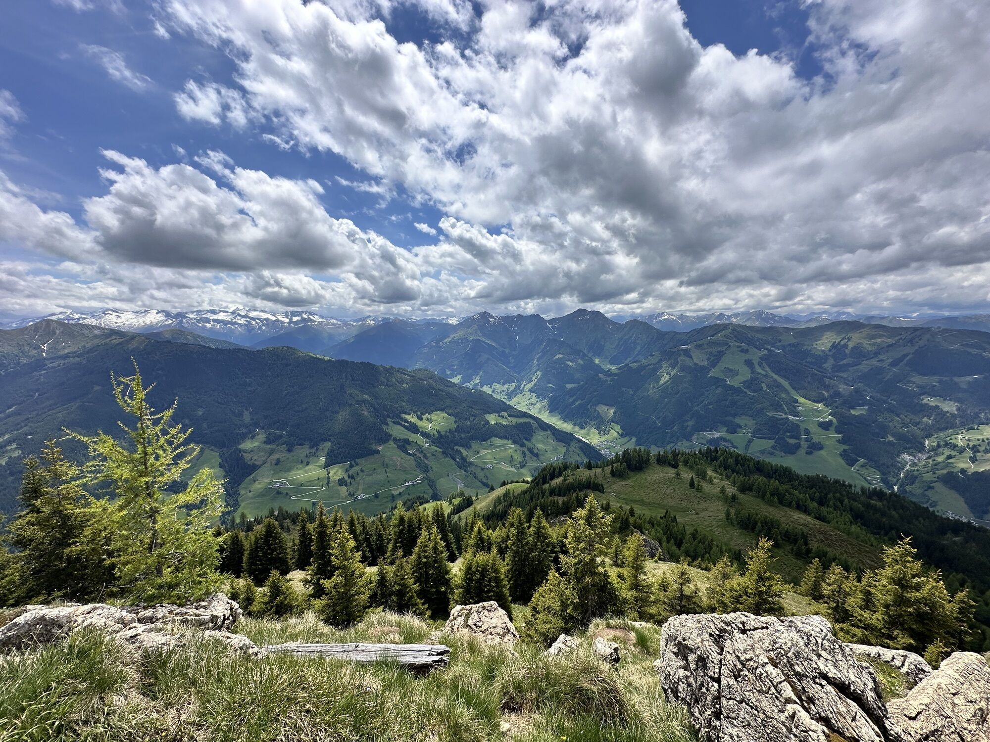
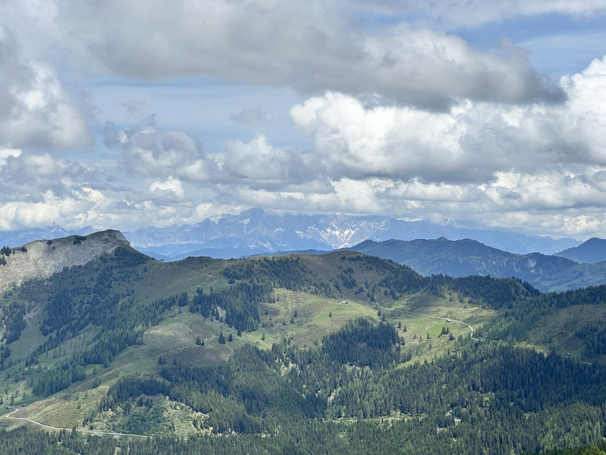
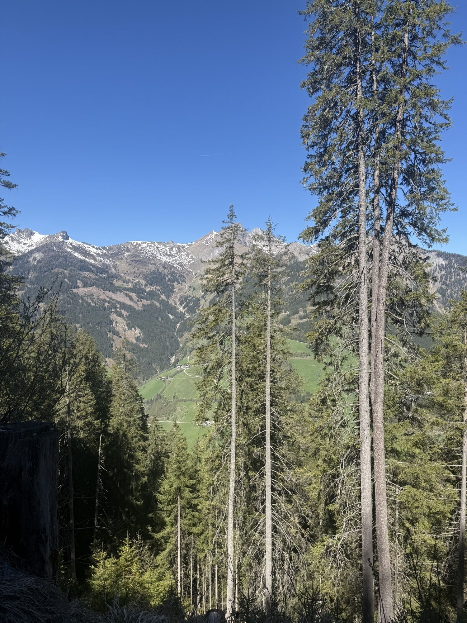
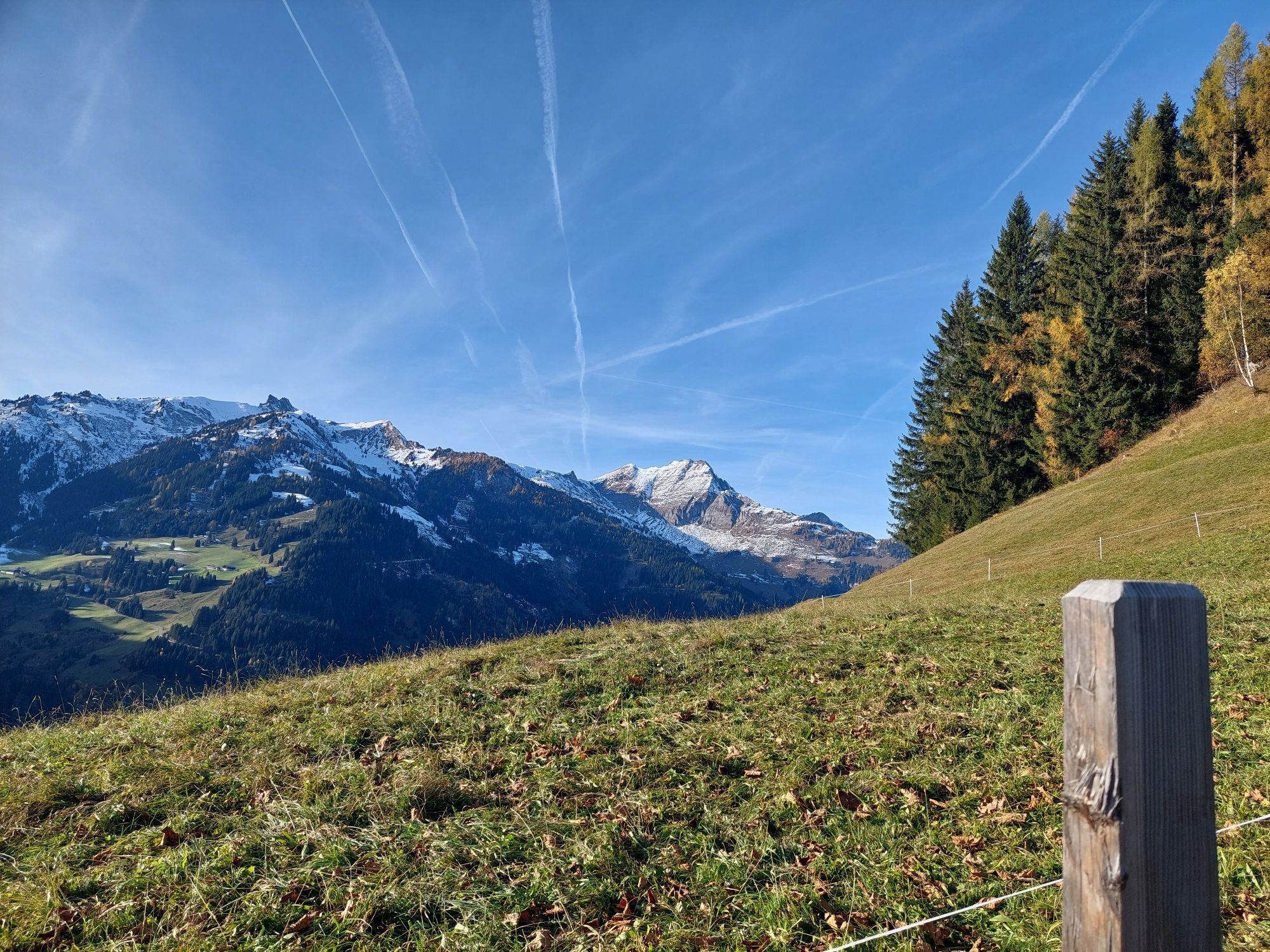
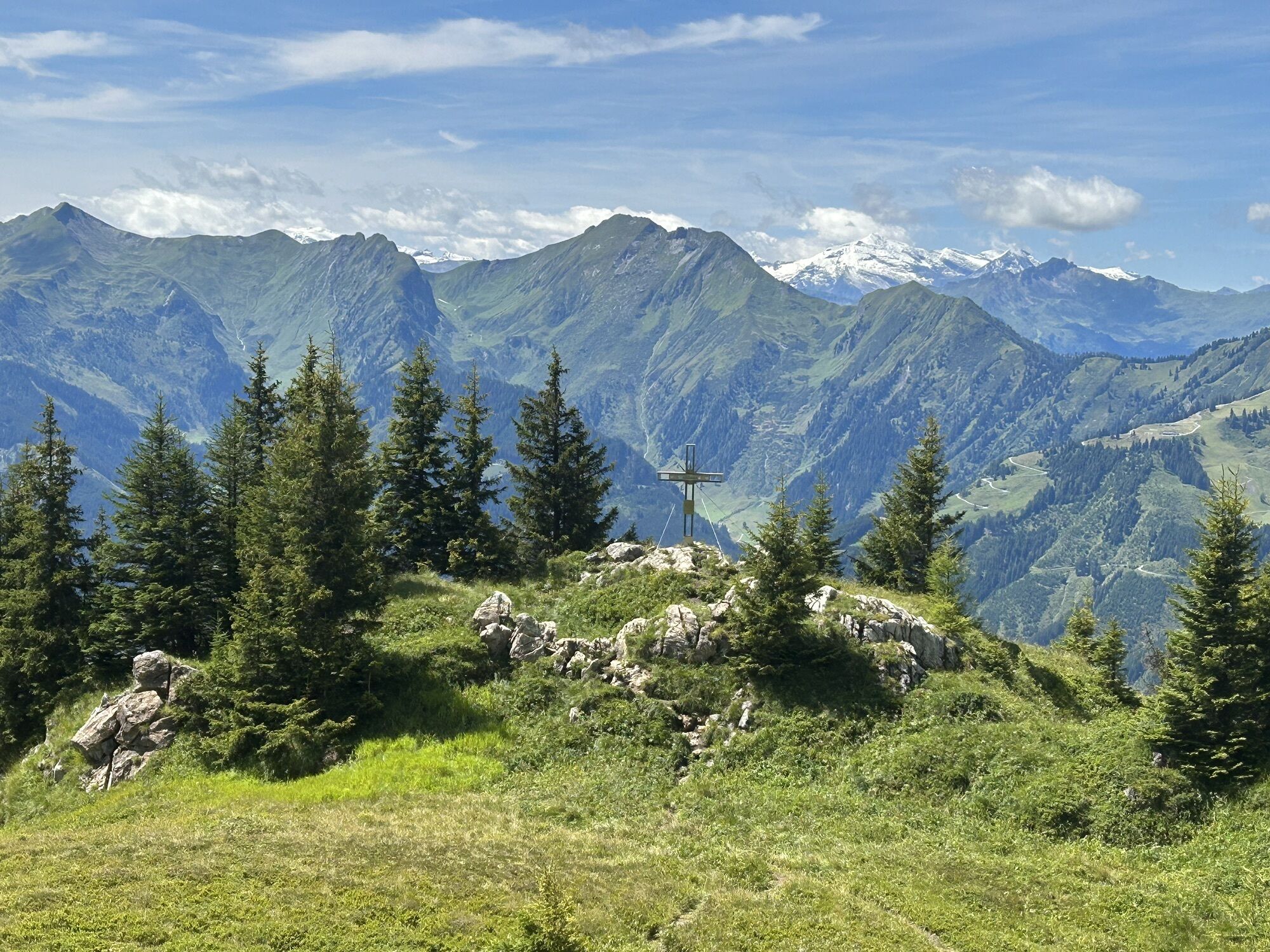
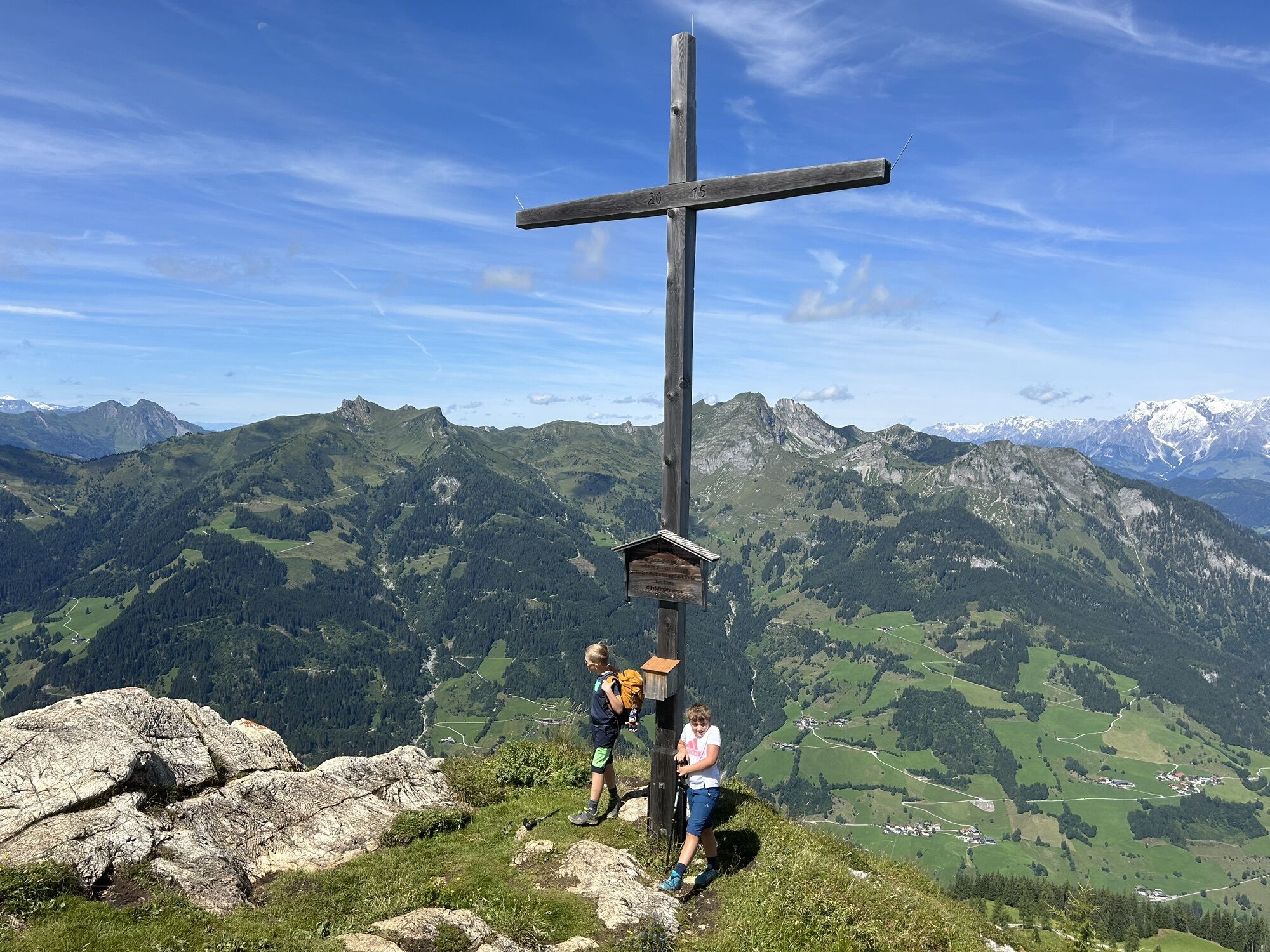
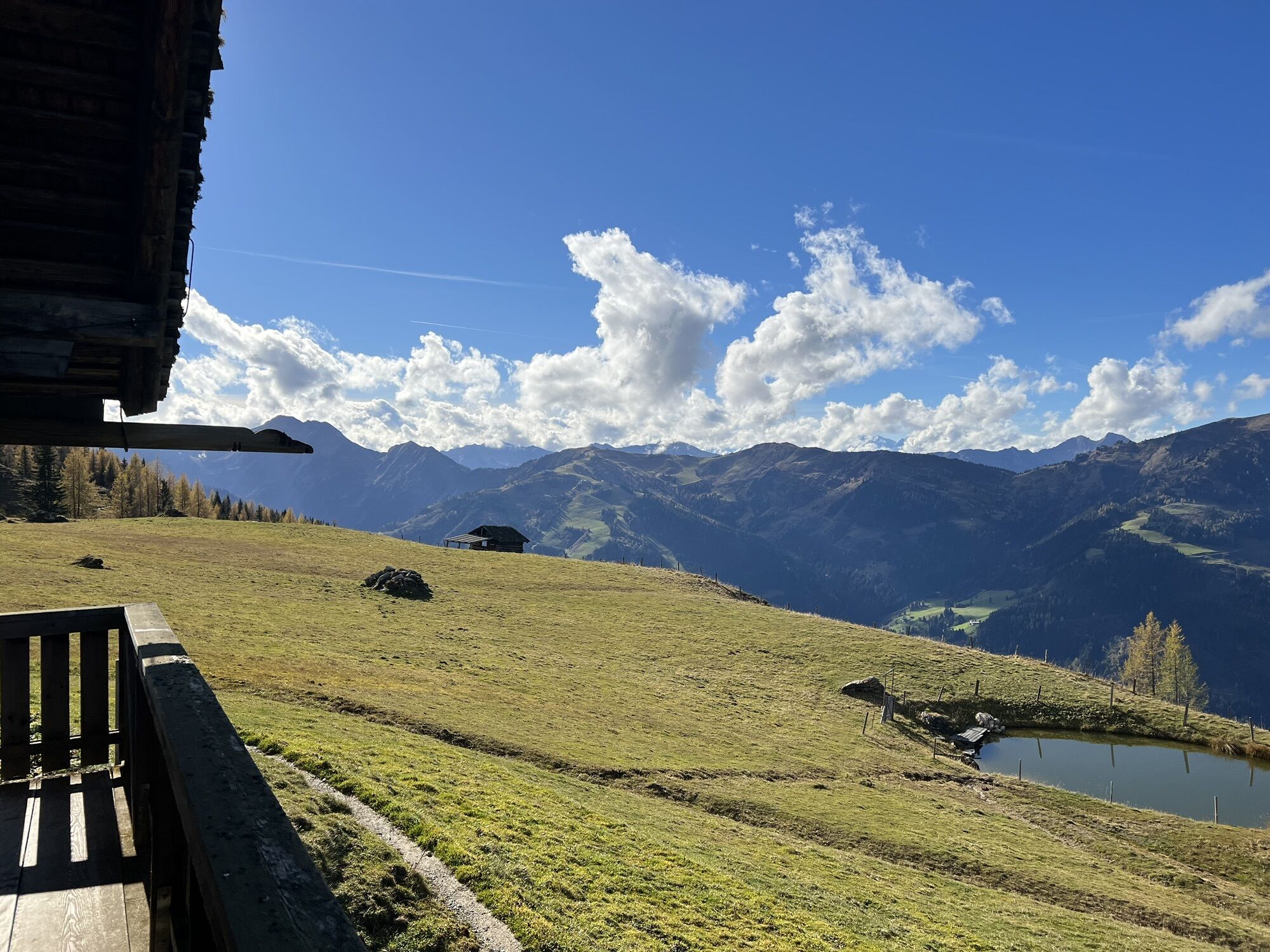
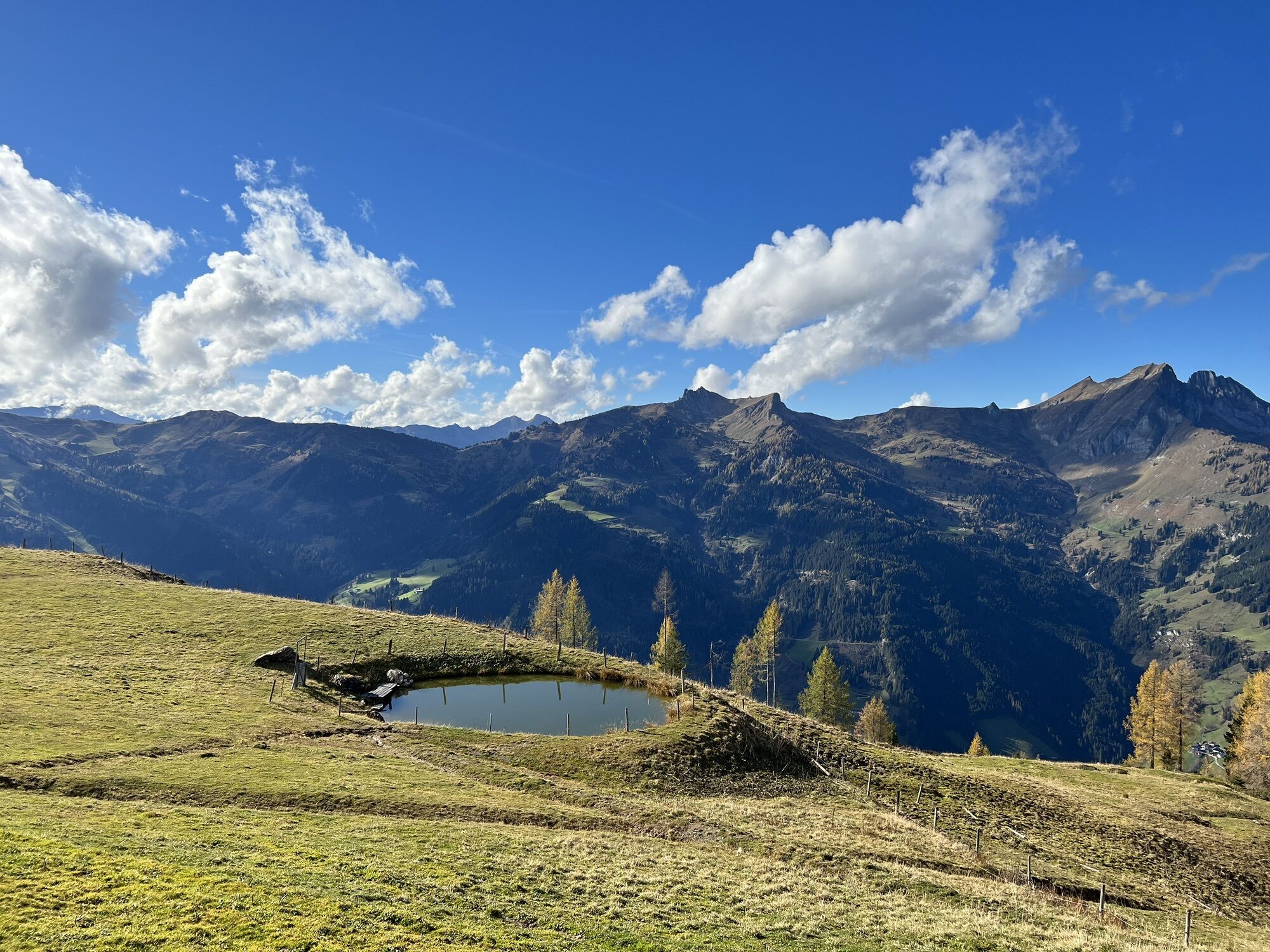
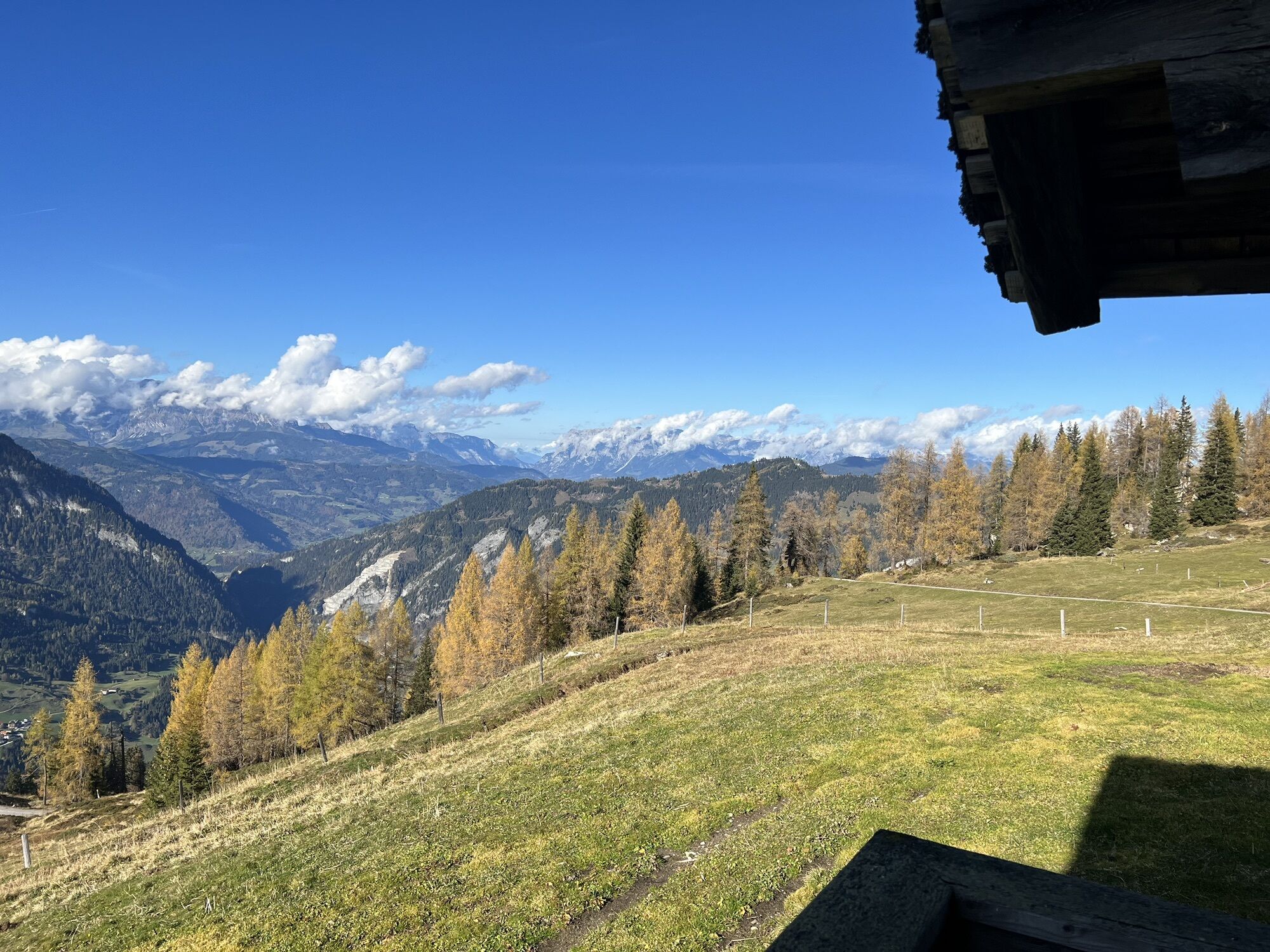
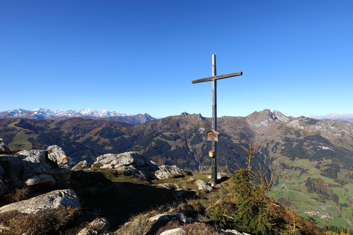
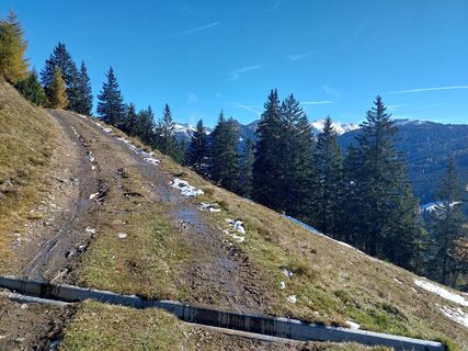
The view from the Saukarkopf is one of the most impressive in Grossarltal and is worth seeing at any time of year – but it is particularly atmospheric in autumn.
Kamery internetowe z trasy


Popularne wycieczki w okolicy
- 4,9
Großarl: Aualm - Liechtensteinkopf - Aukopf - Schuhflicker - Schuhflickersee
średniWędrówka 5,84 km - 5,0
Großarl: Alpine pasture circuit in Ellmautal
średniWędrówka 9,69 km - 4,1
Tappenkarsee Kleinarl
średniWędrówka 9,11 km - 4,7
Großarl: Mooslehenalm – Niggeltalalm – Viehhausalm
średniWędrówka 5,44 km - 5,0
Hüttschlag: Karteistörl - Tappenkarsee - Draugsteintörl - Draugsteinalmen
średniWędrówka 13,5 km - 4,8
Höhenweg vom Grünen Baum bis Bad Hofgastein
światłoWędrówka 7,92 km - 4,6
Bahnhof Bad Hofgastein nach Bahnhof Bad Gastein
średniWędrówka 13,0 km - 4,7
Bad Hofgastein Bergbahn Parkplatz - Rastötzenalm Bad Hofgastein
średniMountainbike 16,9 km - 4,2
Großarl: Unterwandalm - Karseggalm - Breitenebenalm
średniWędrówka 5,93 km - 4,5
Mosermandl Windischscharte, Salzburger Land/Österreich
ciężkiWędrówka 14,6 km
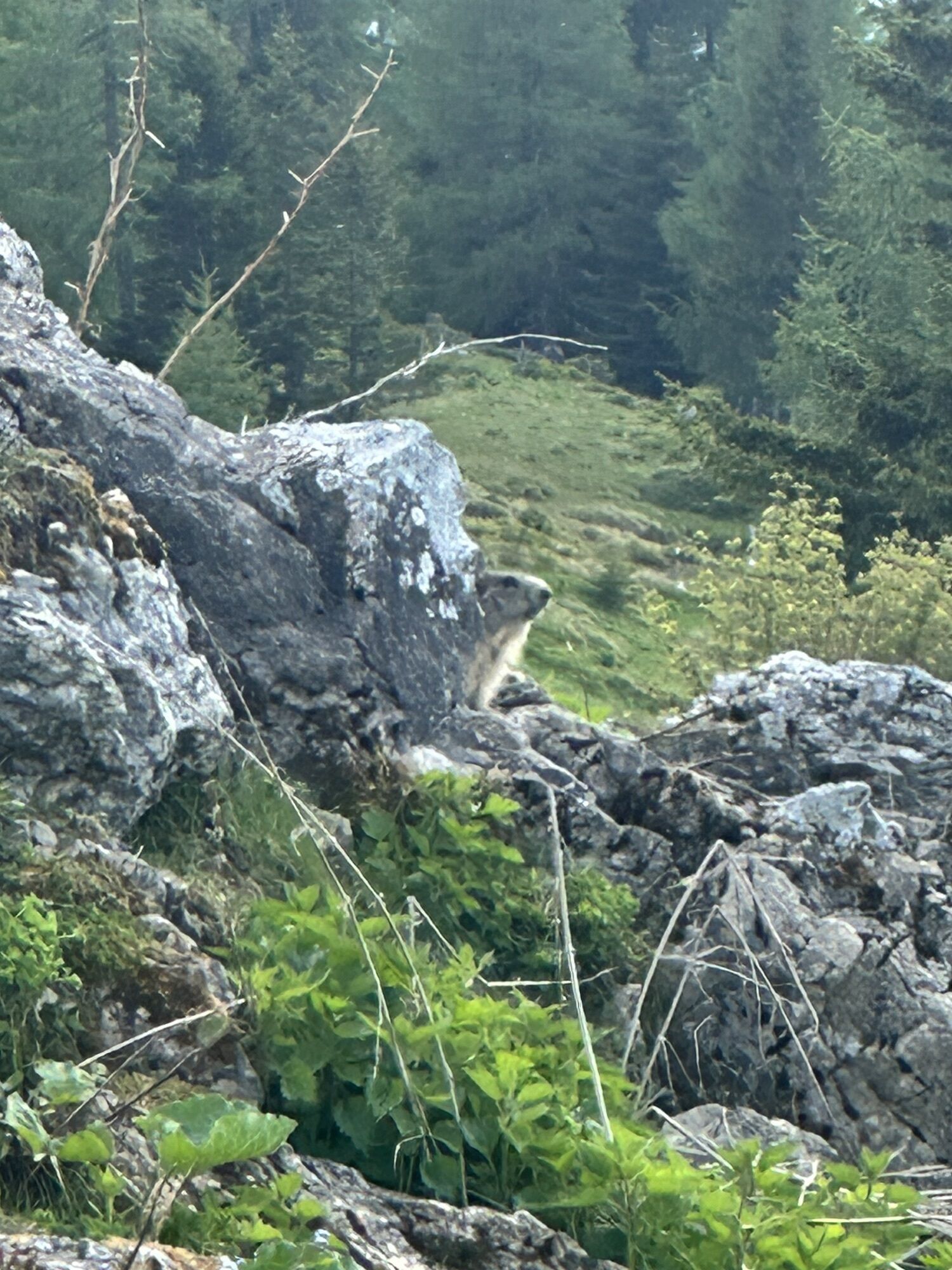
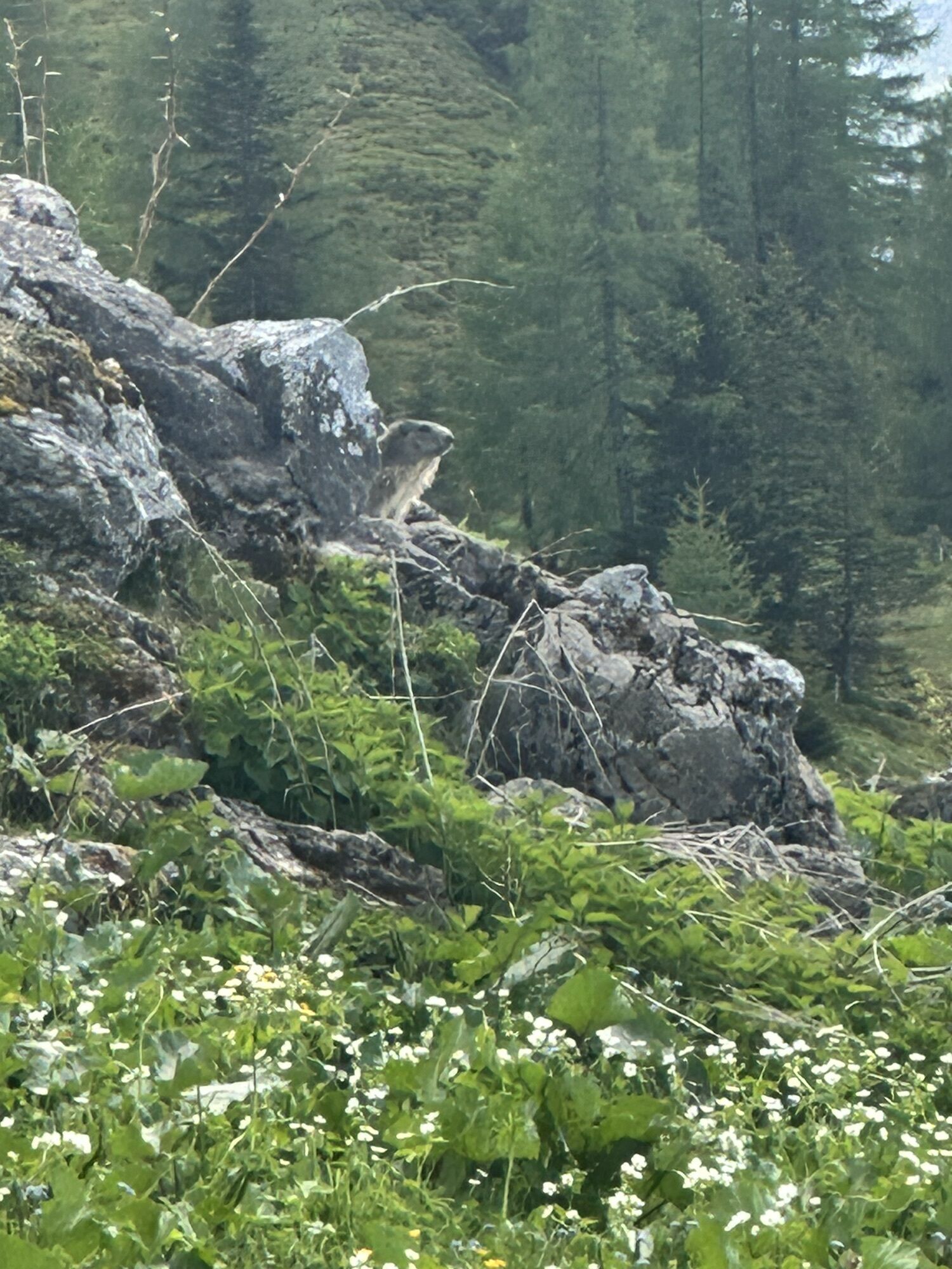
Wędrówki i tropienie


Nie przegap ofert i inspiracji na następne wakacje
Twój adres e-mail została dodana do listy mailingowej.