


Großarl: Himmelsroute


This hike is suitable for the whole family. Quite leisurely, you take the new Kieserlbahn up to the mountain station from where the hike starts. Over the mountain ridge, it goes to the Fulseck and then...
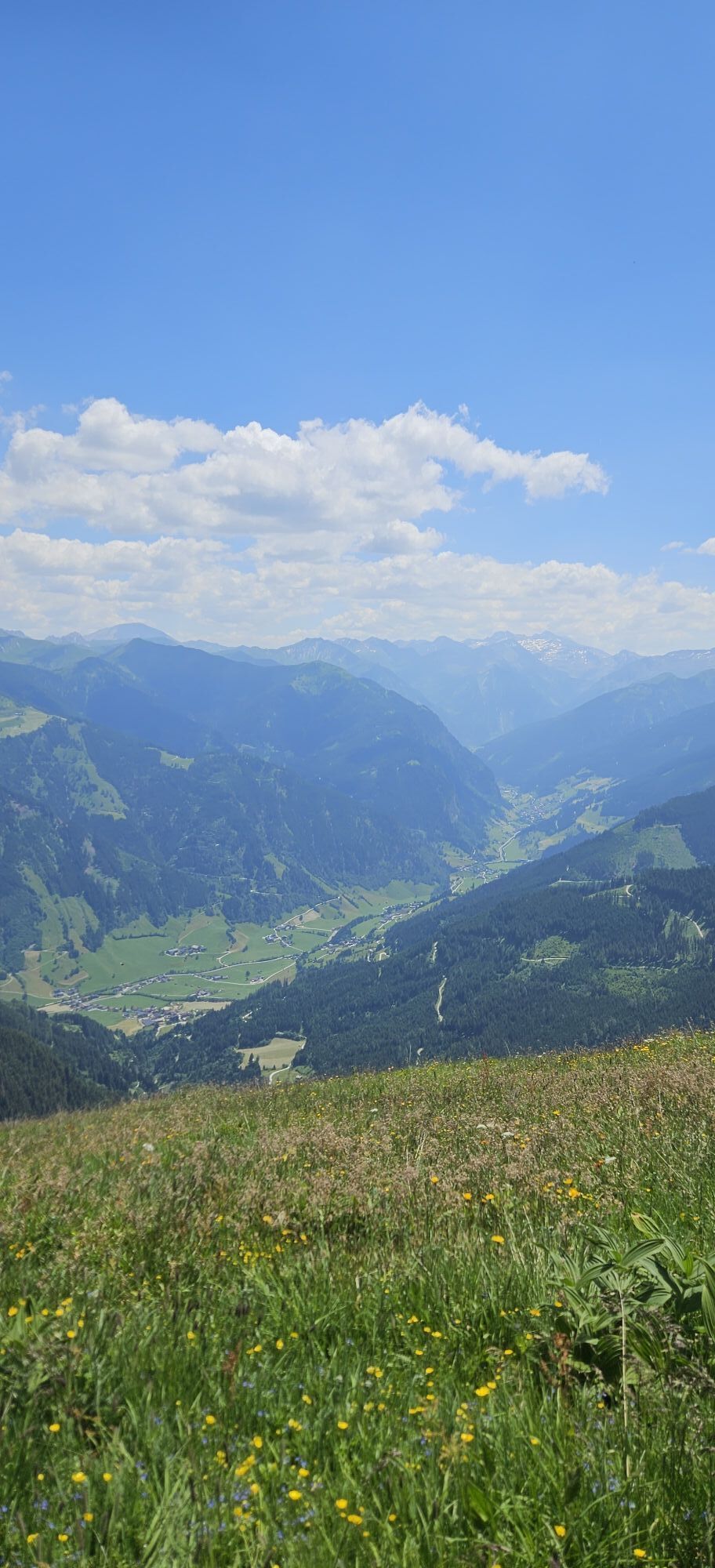
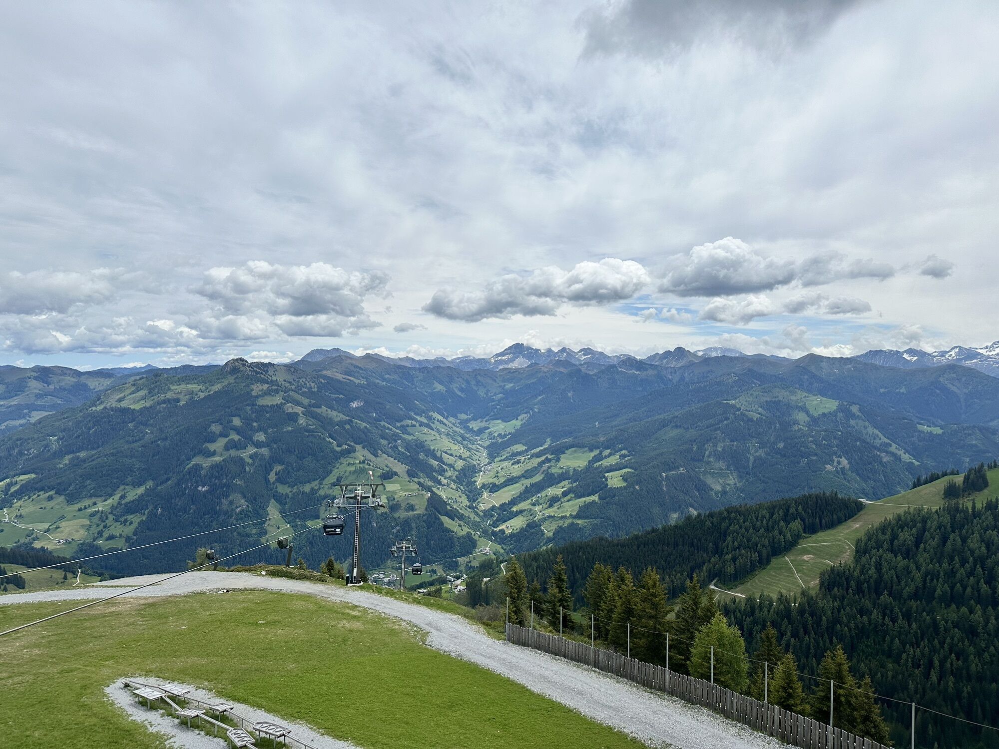
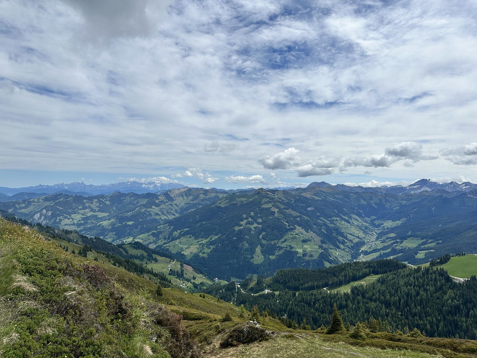
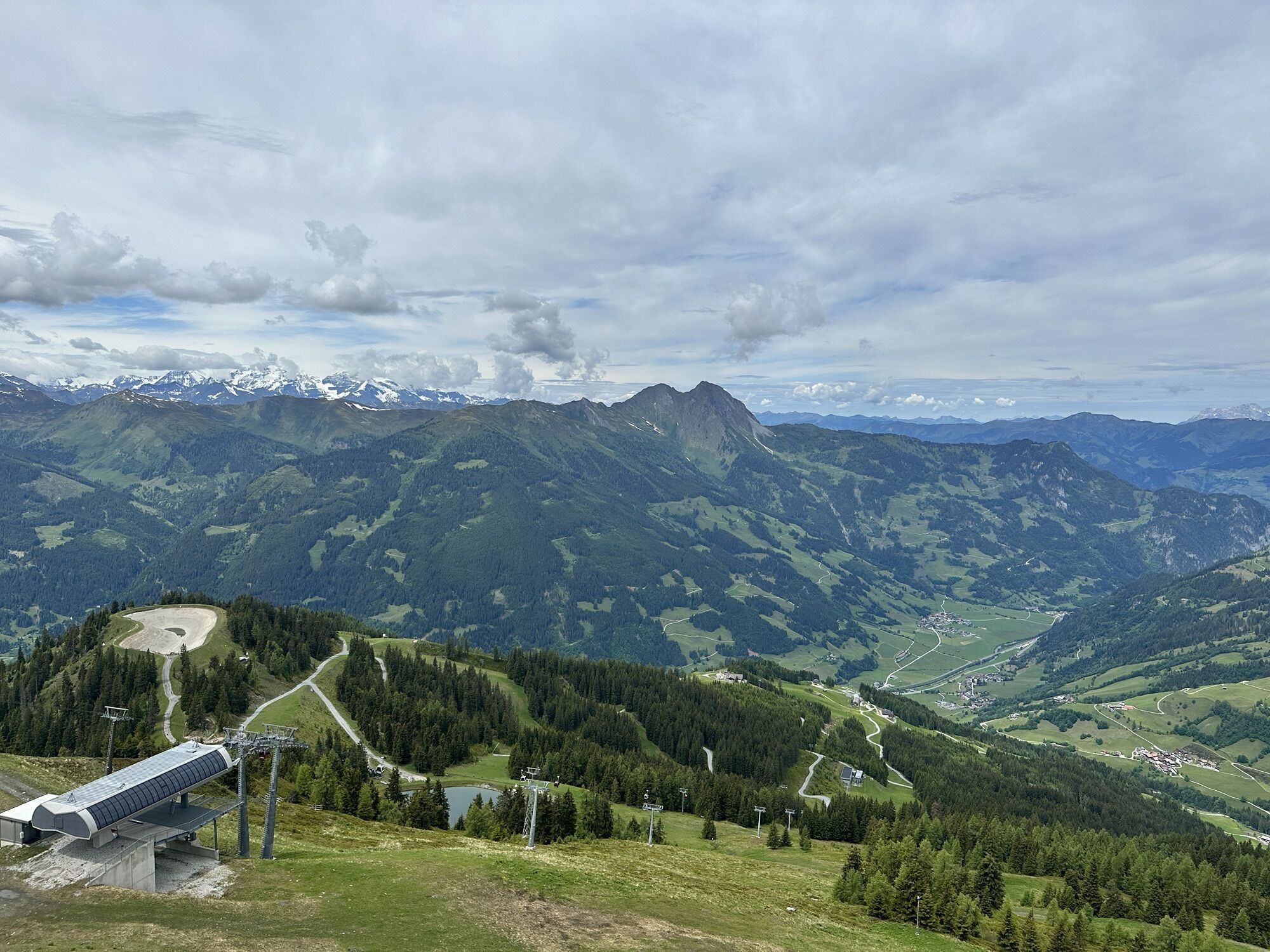
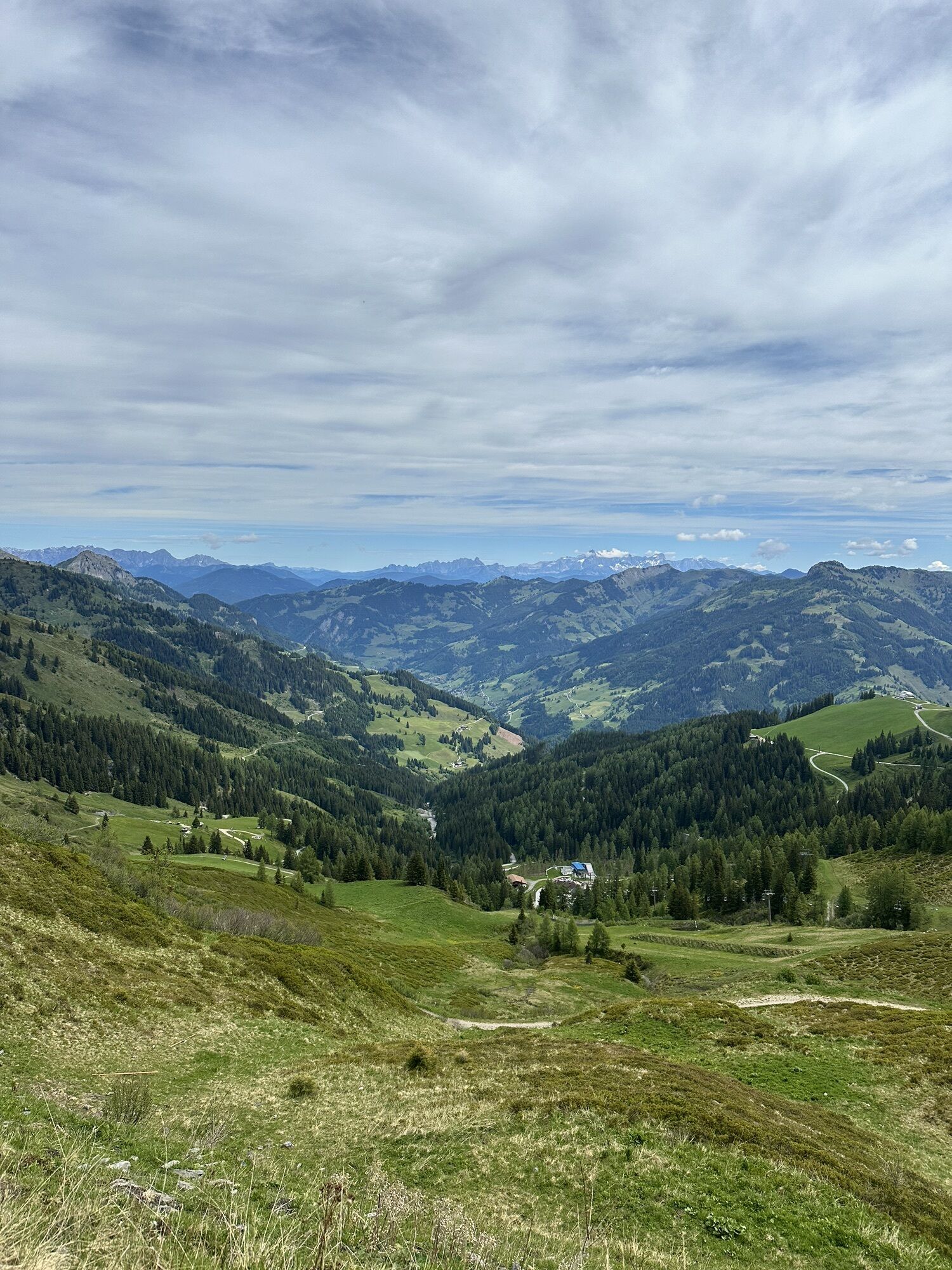
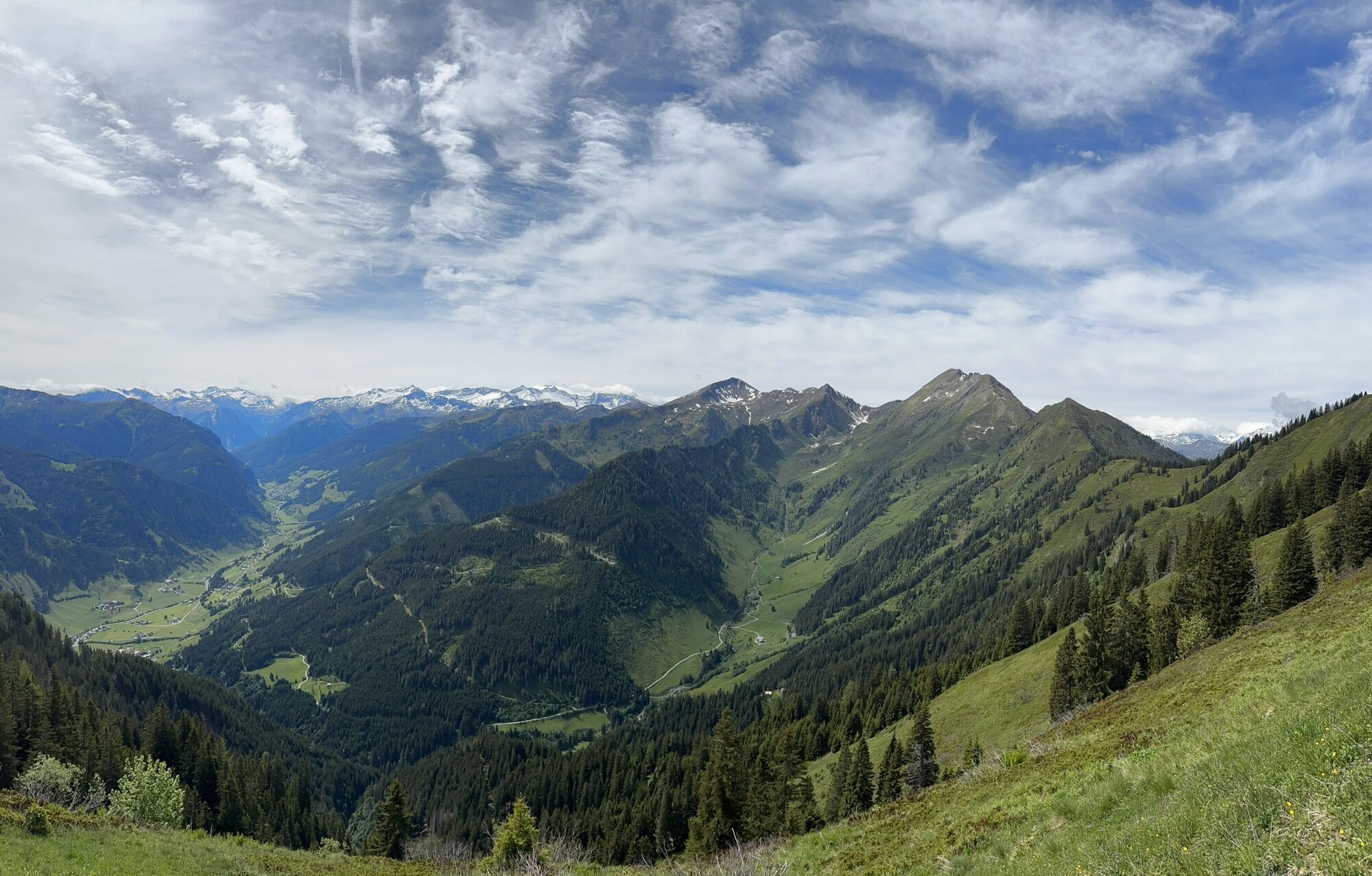
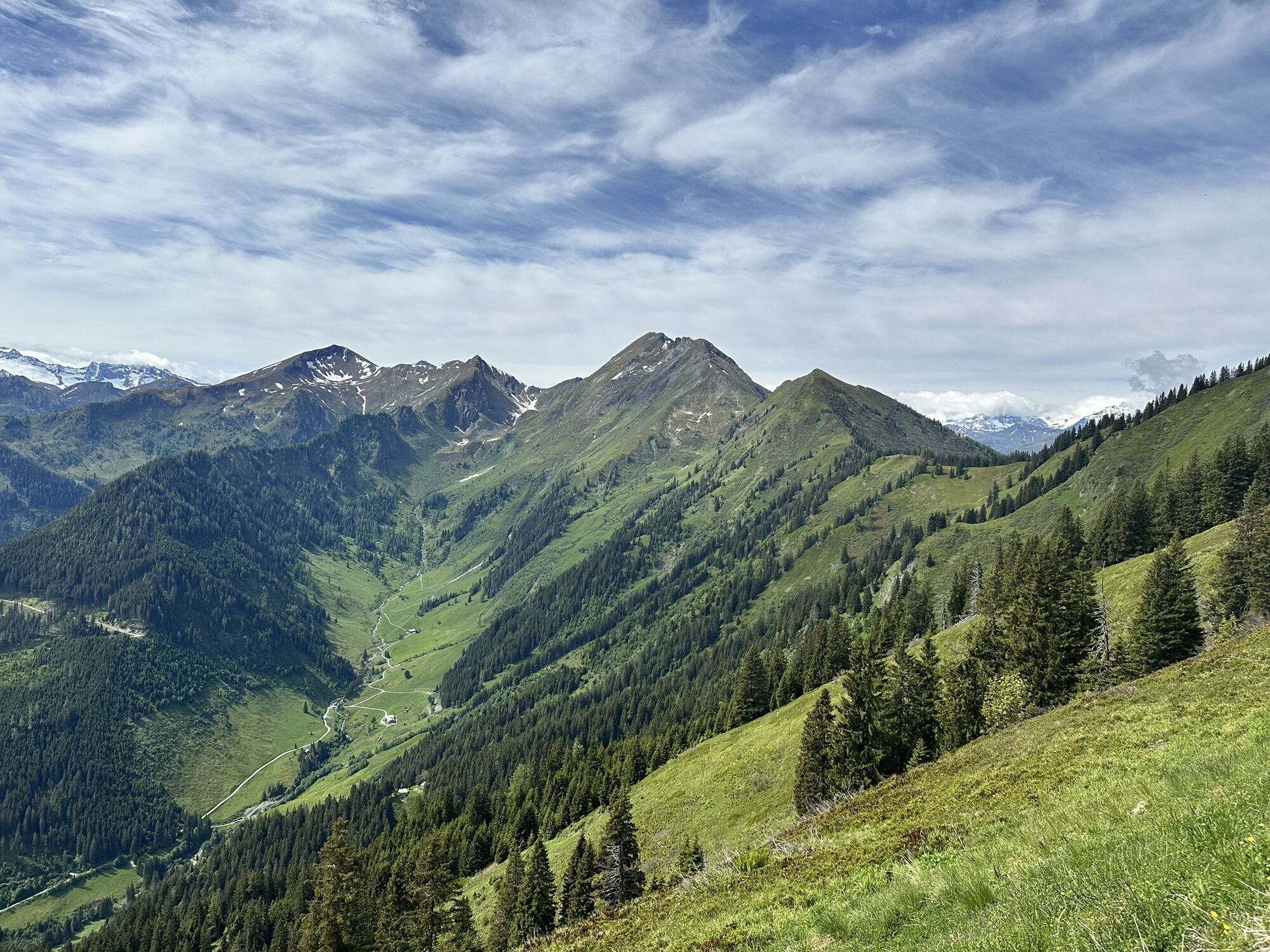
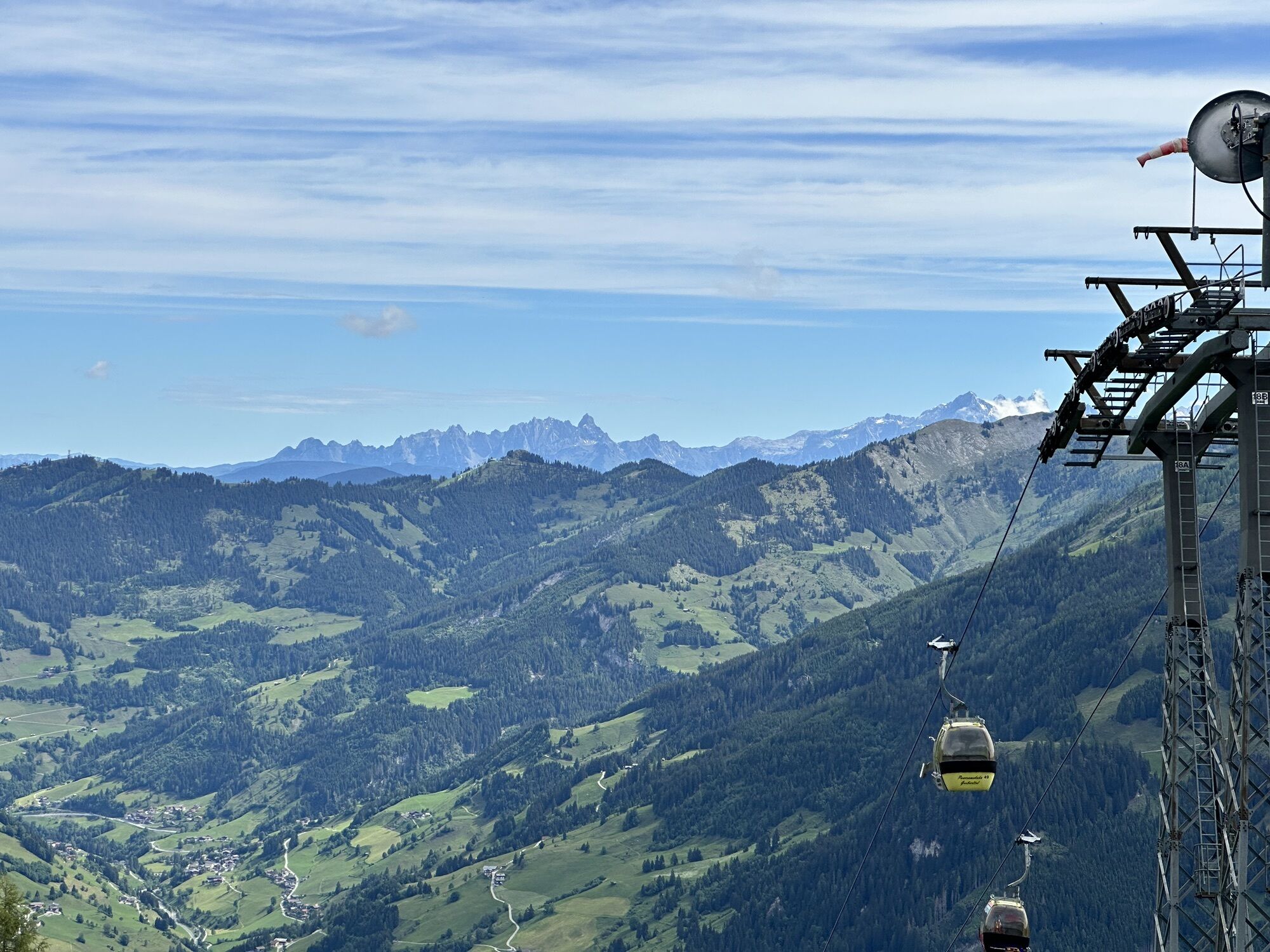
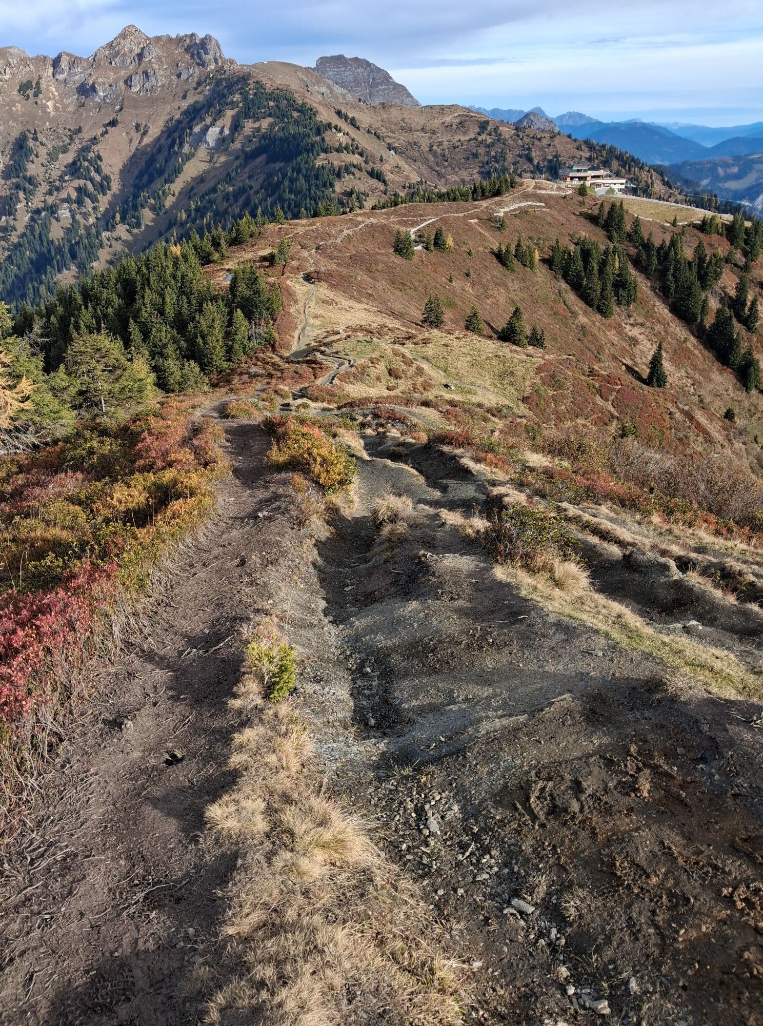
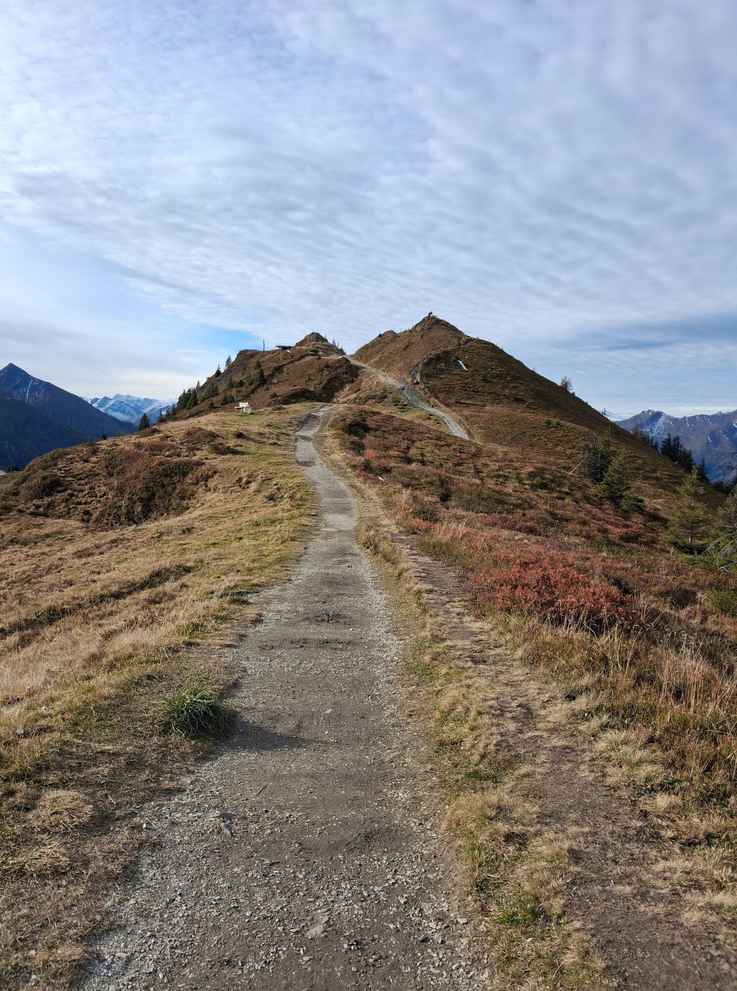
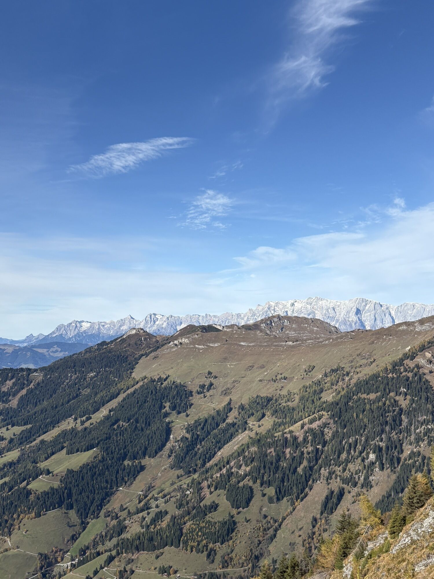
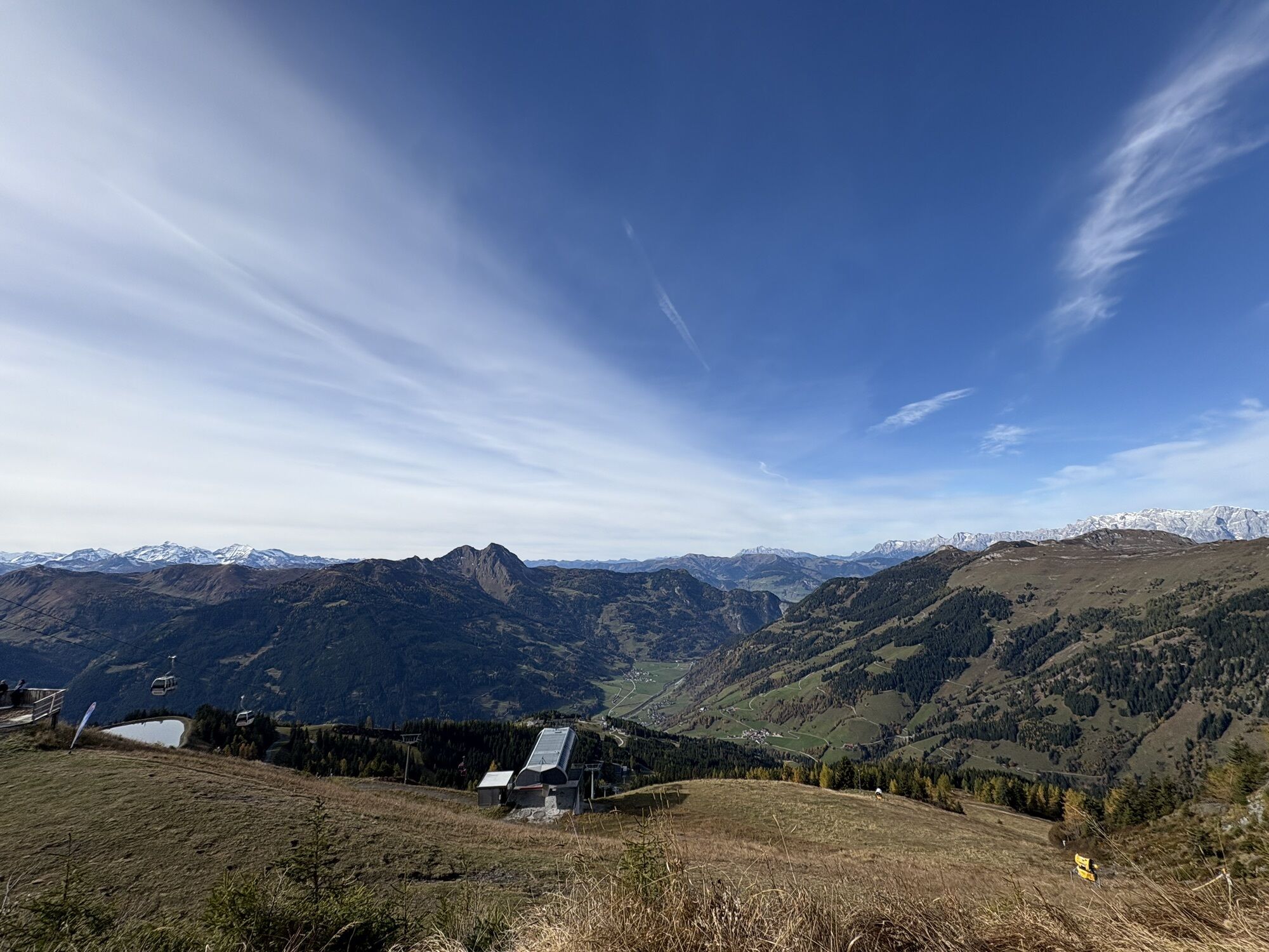
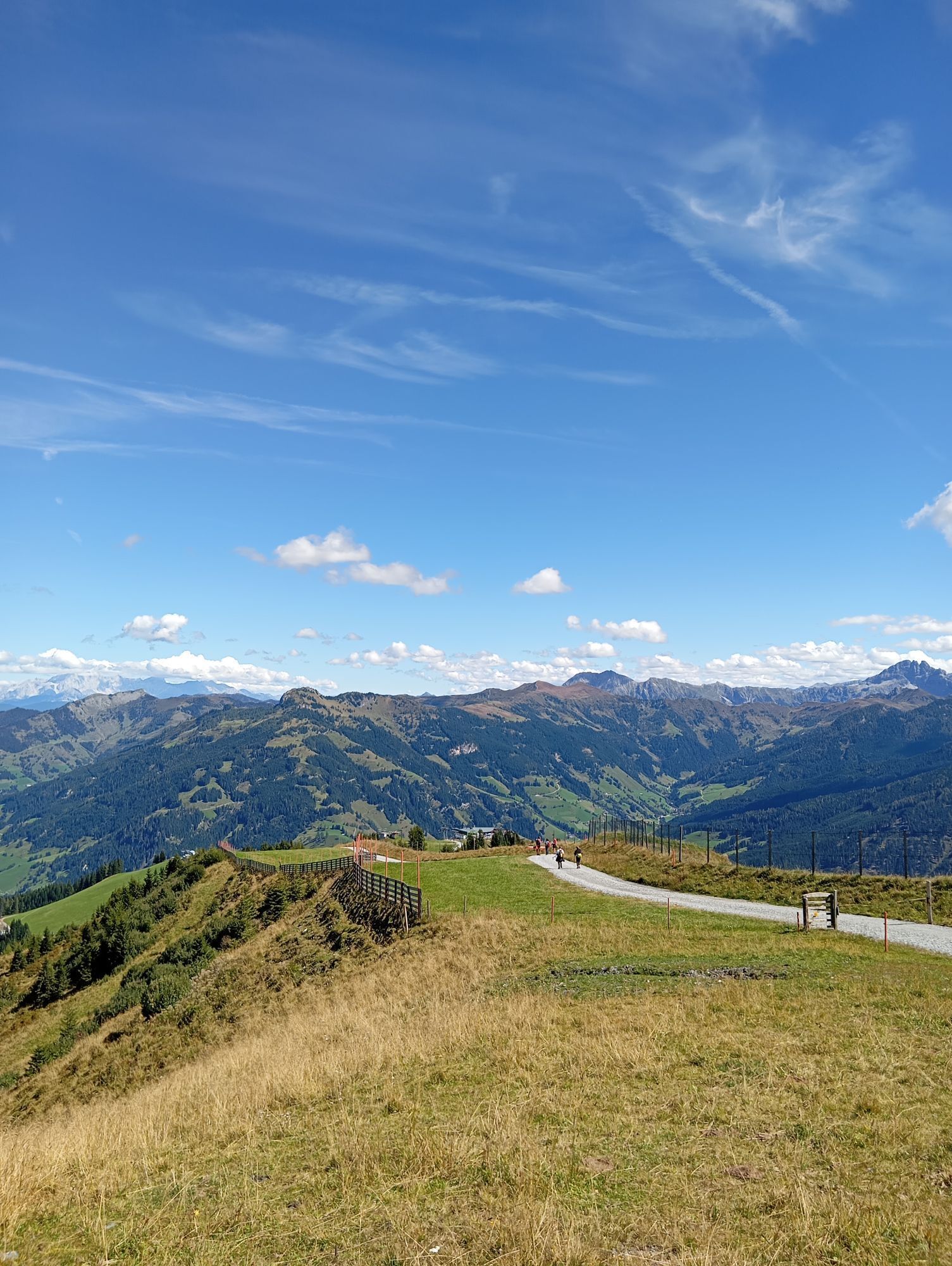
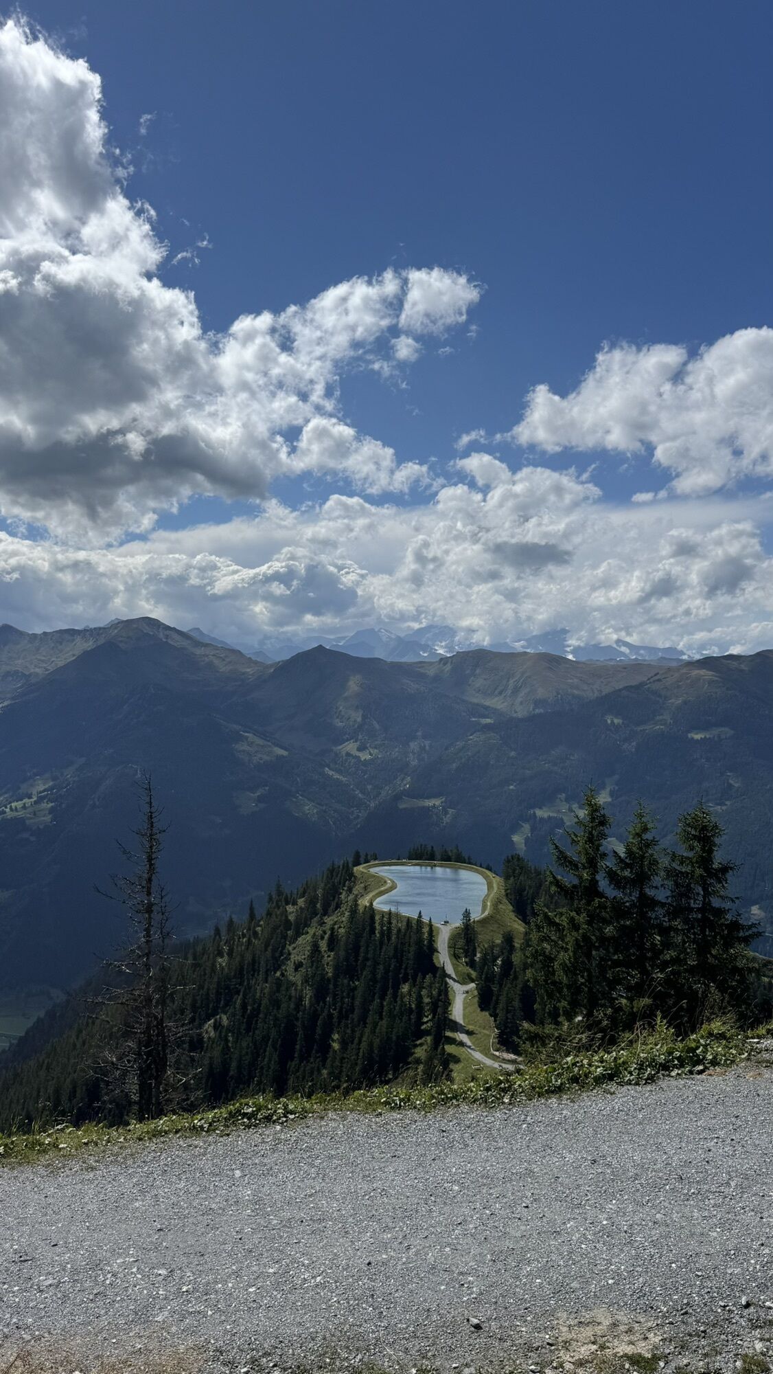
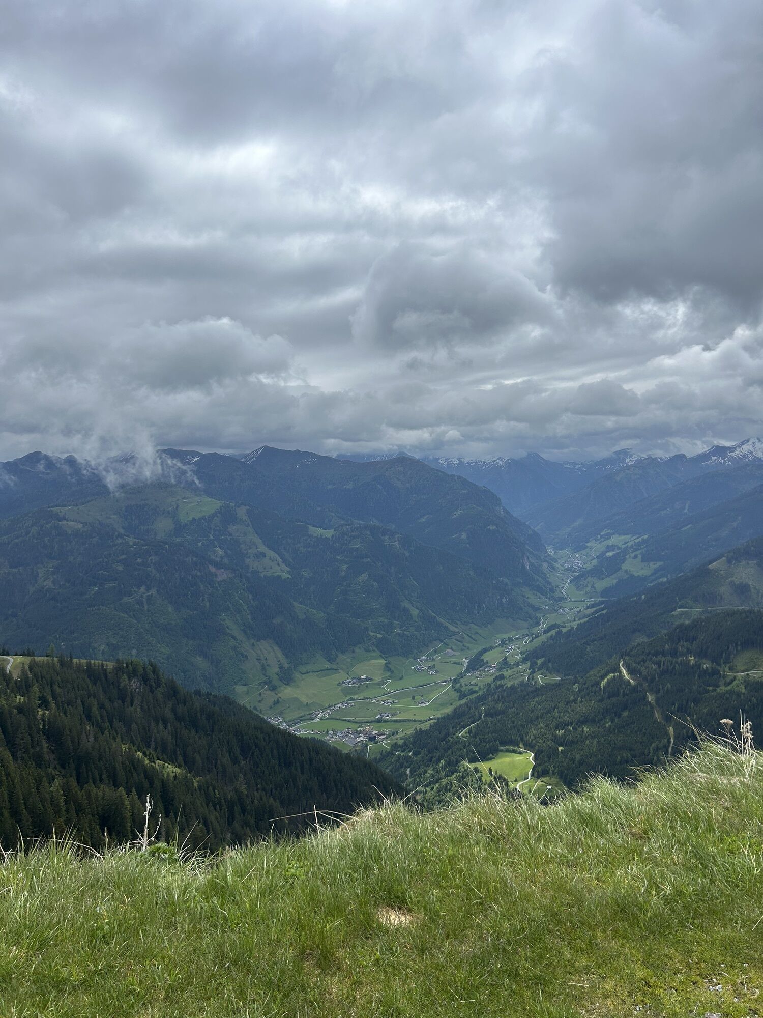
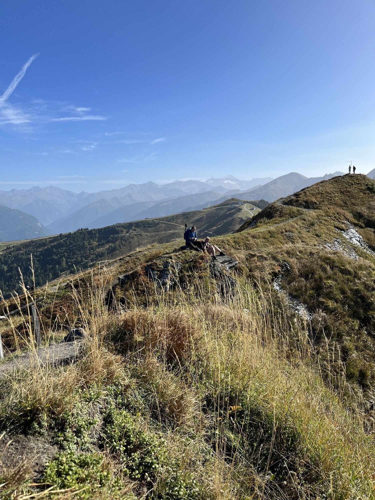
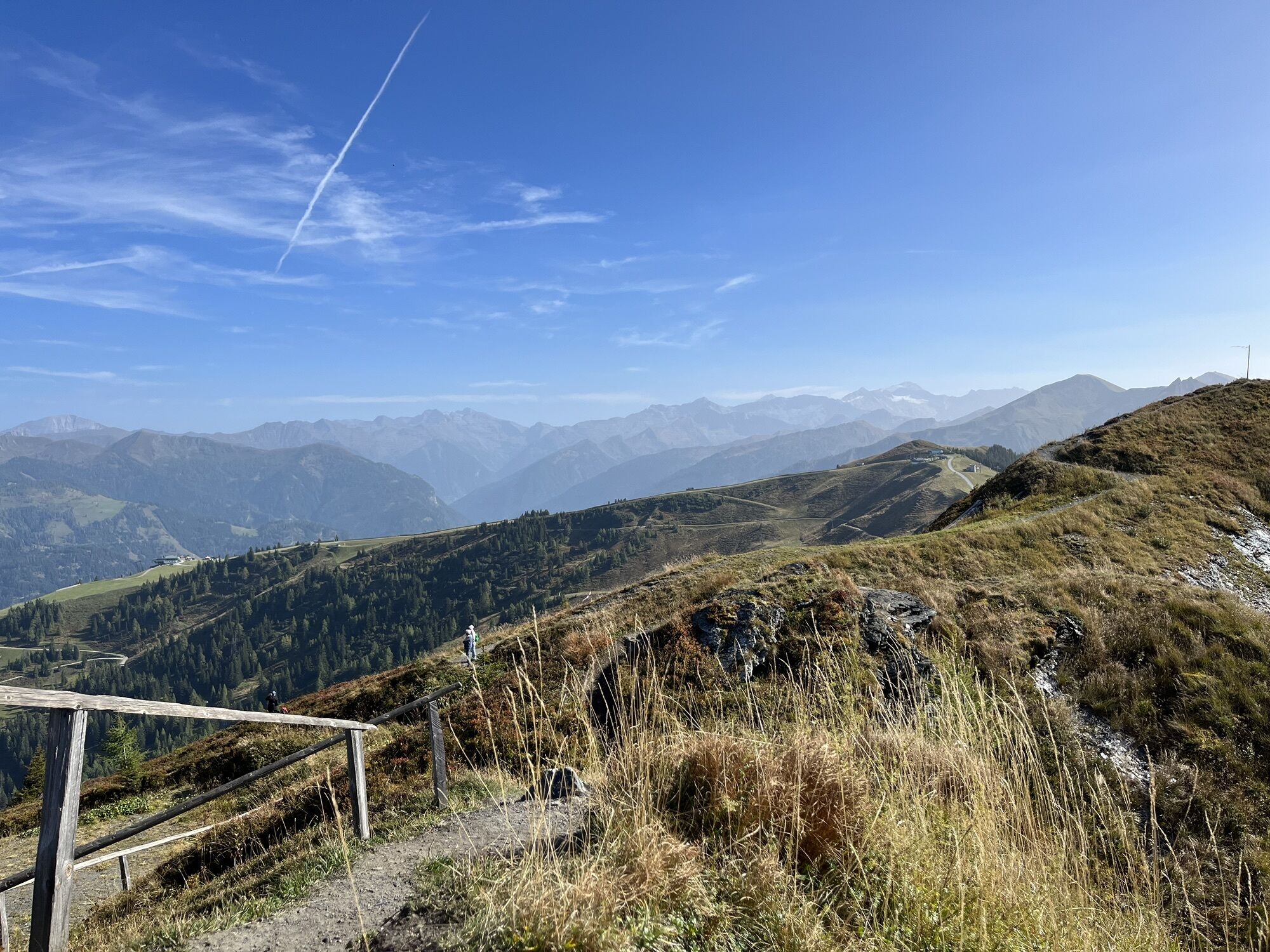
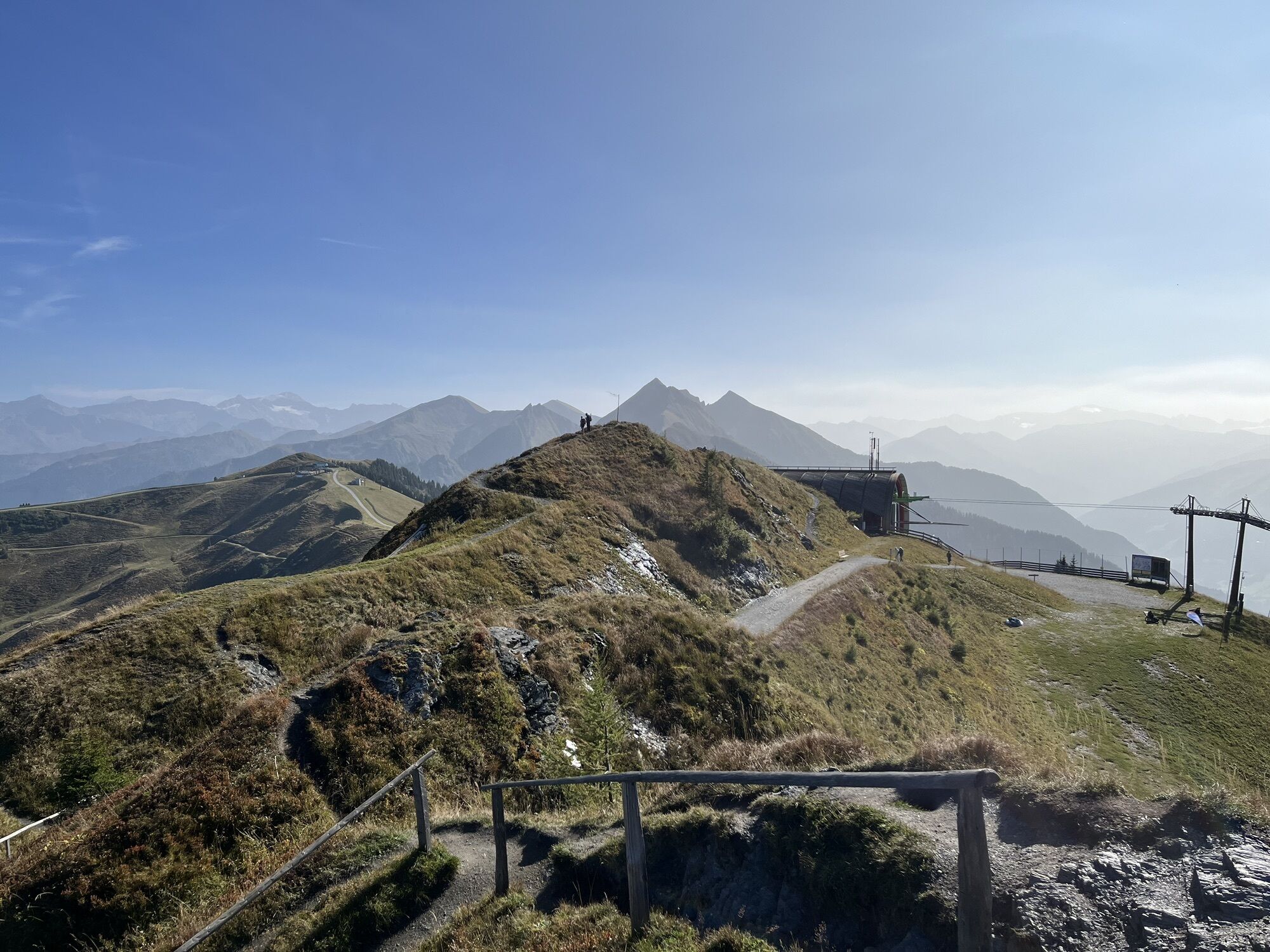
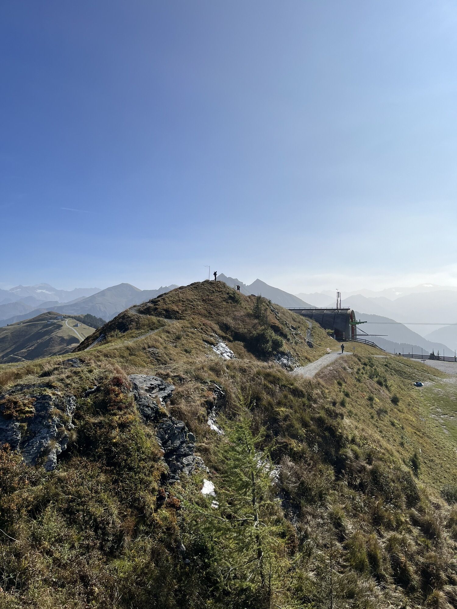
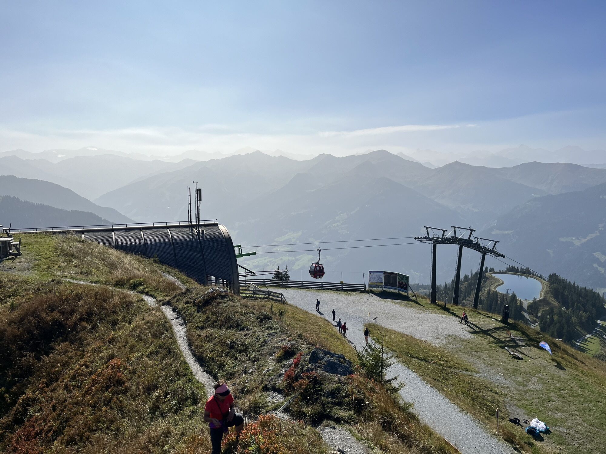
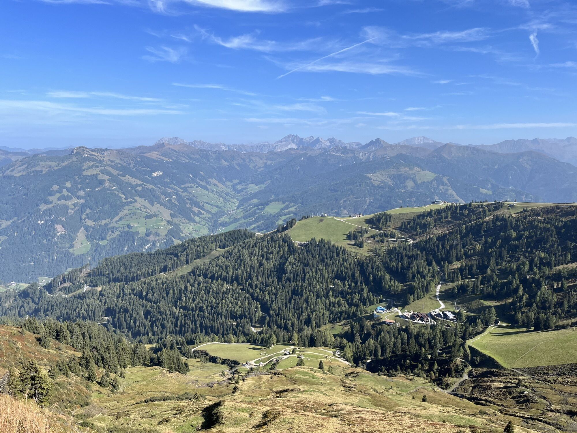
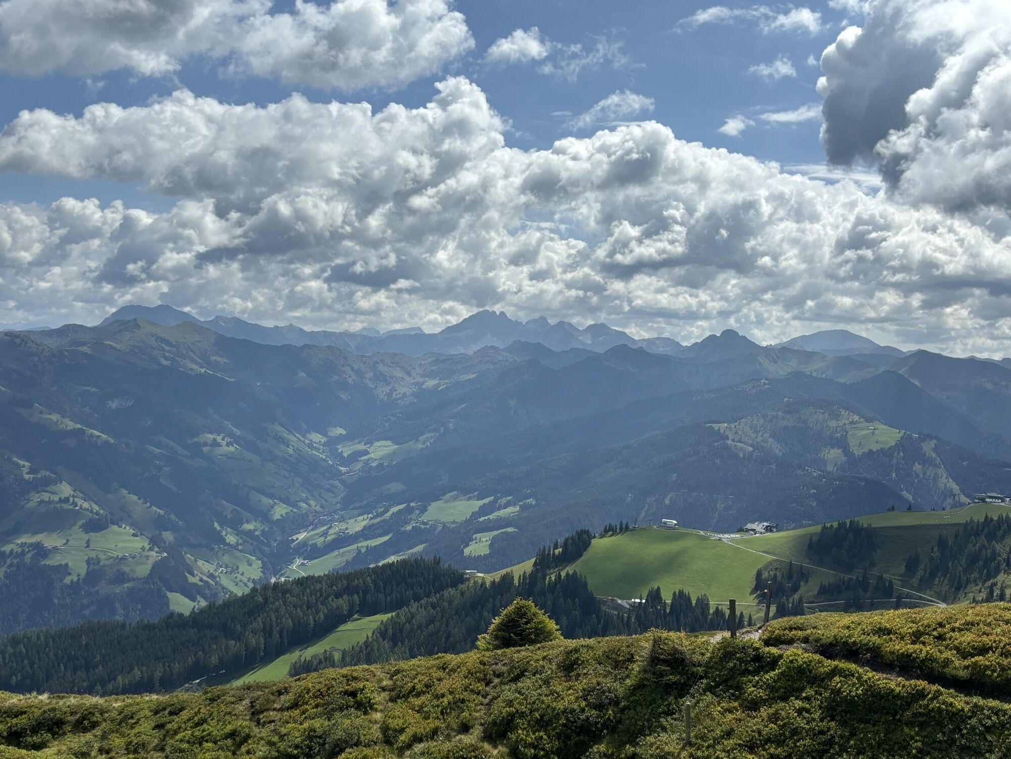
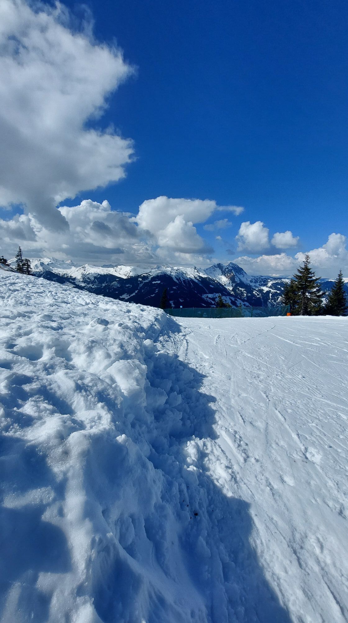
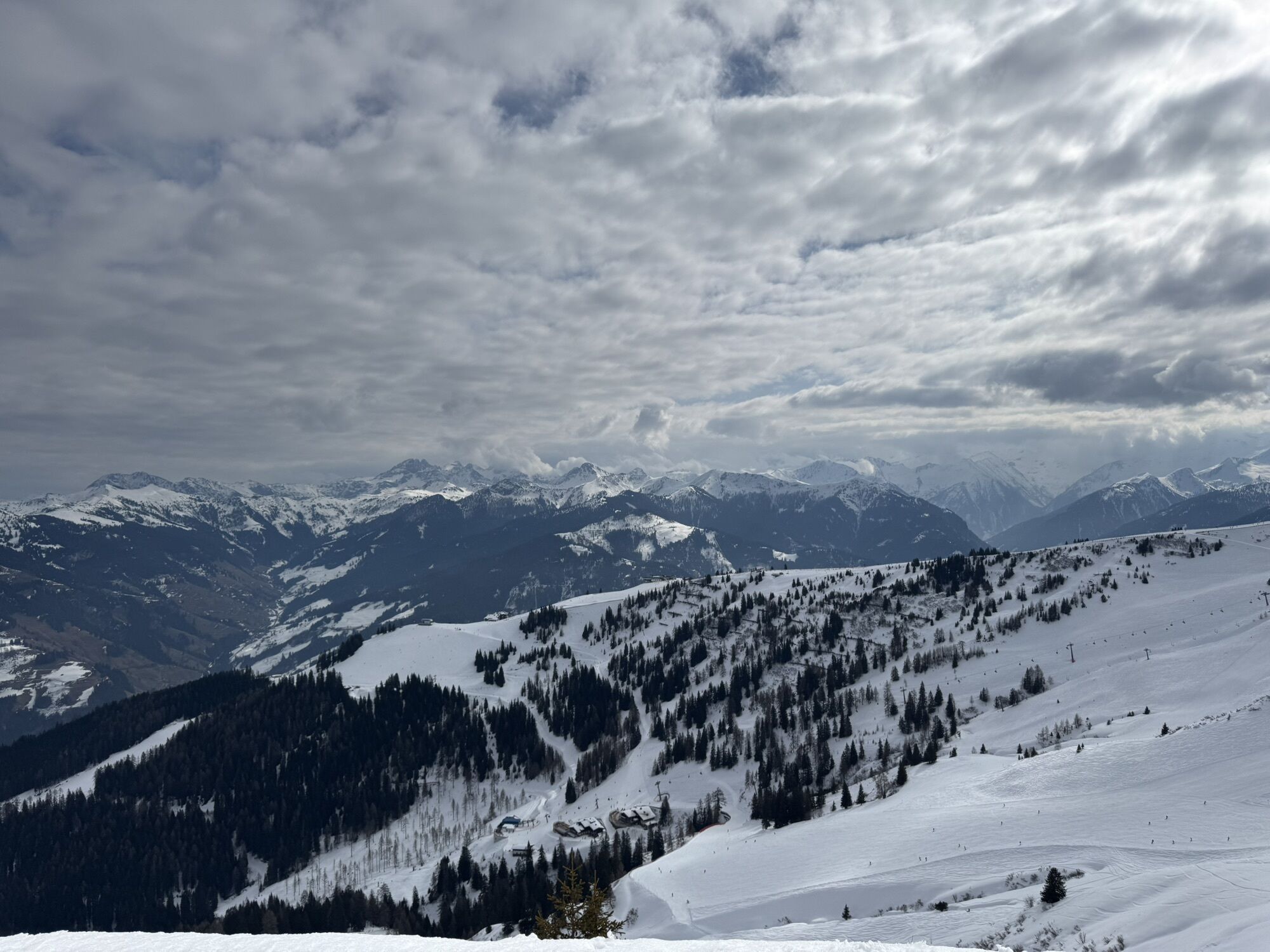
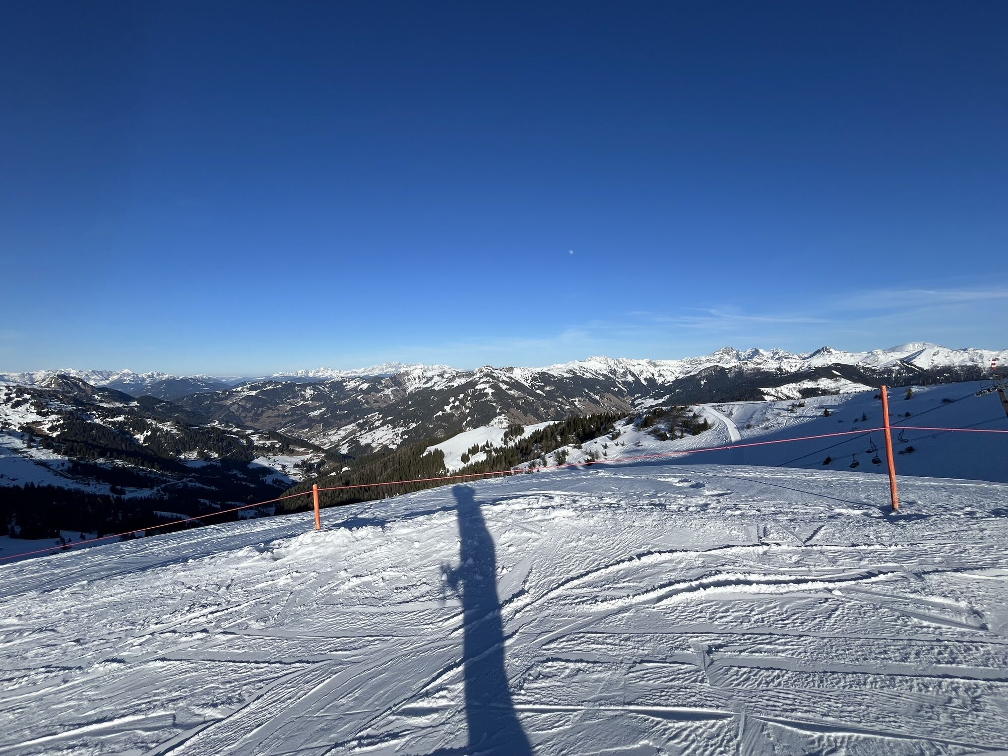
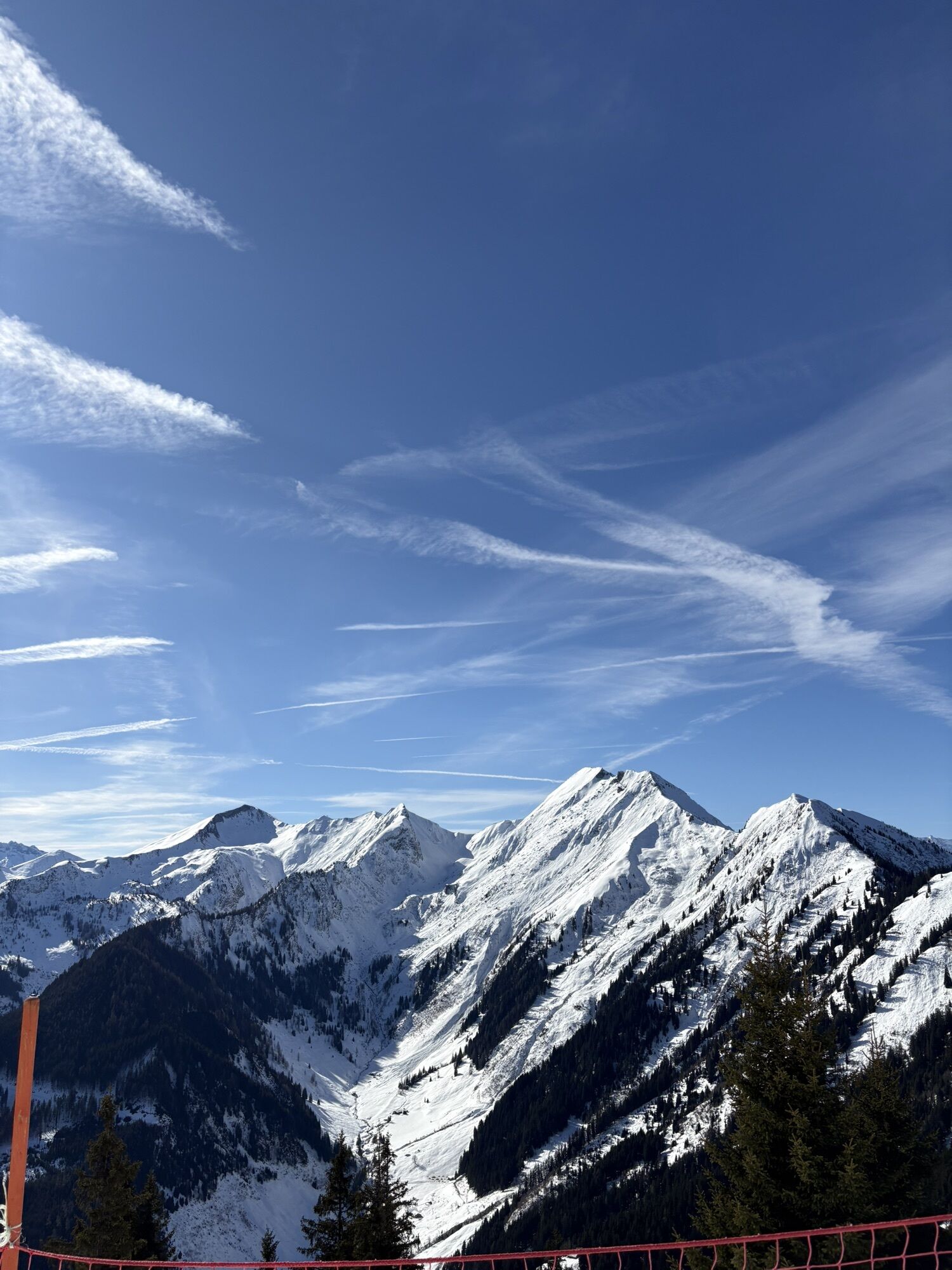
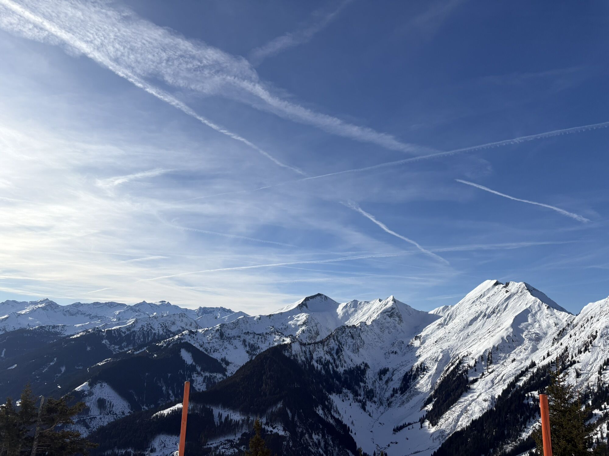
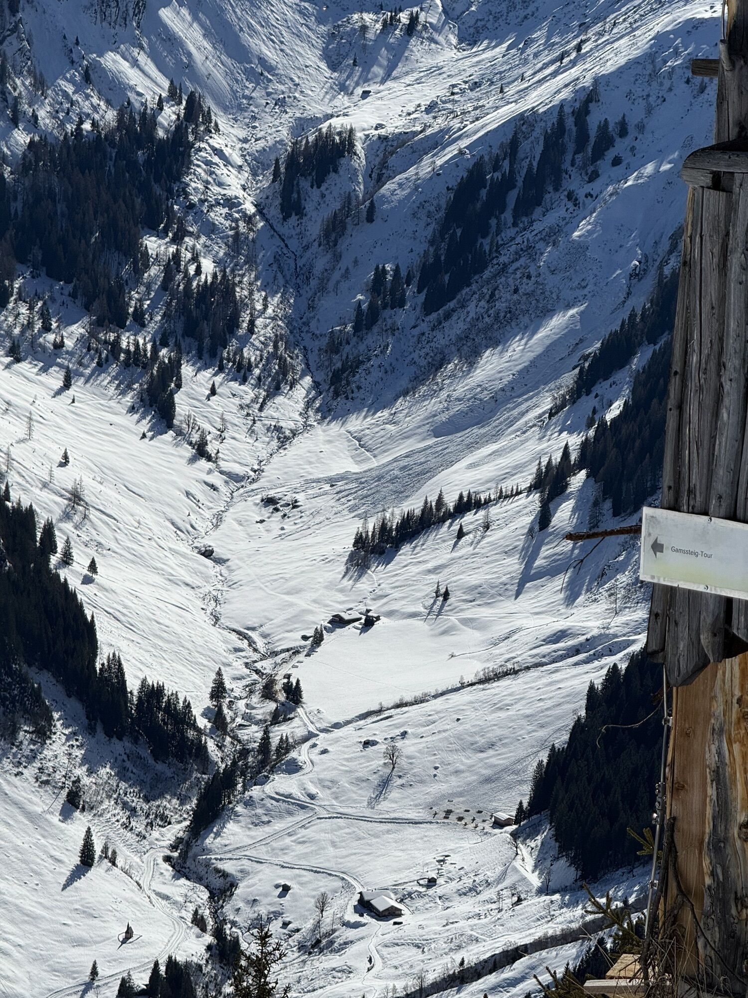
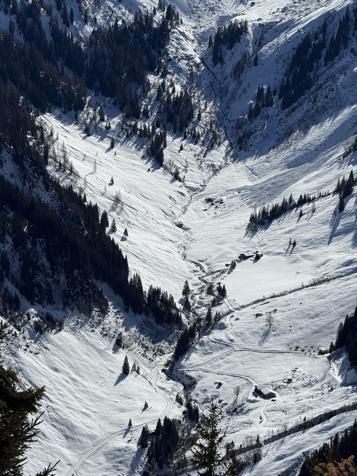
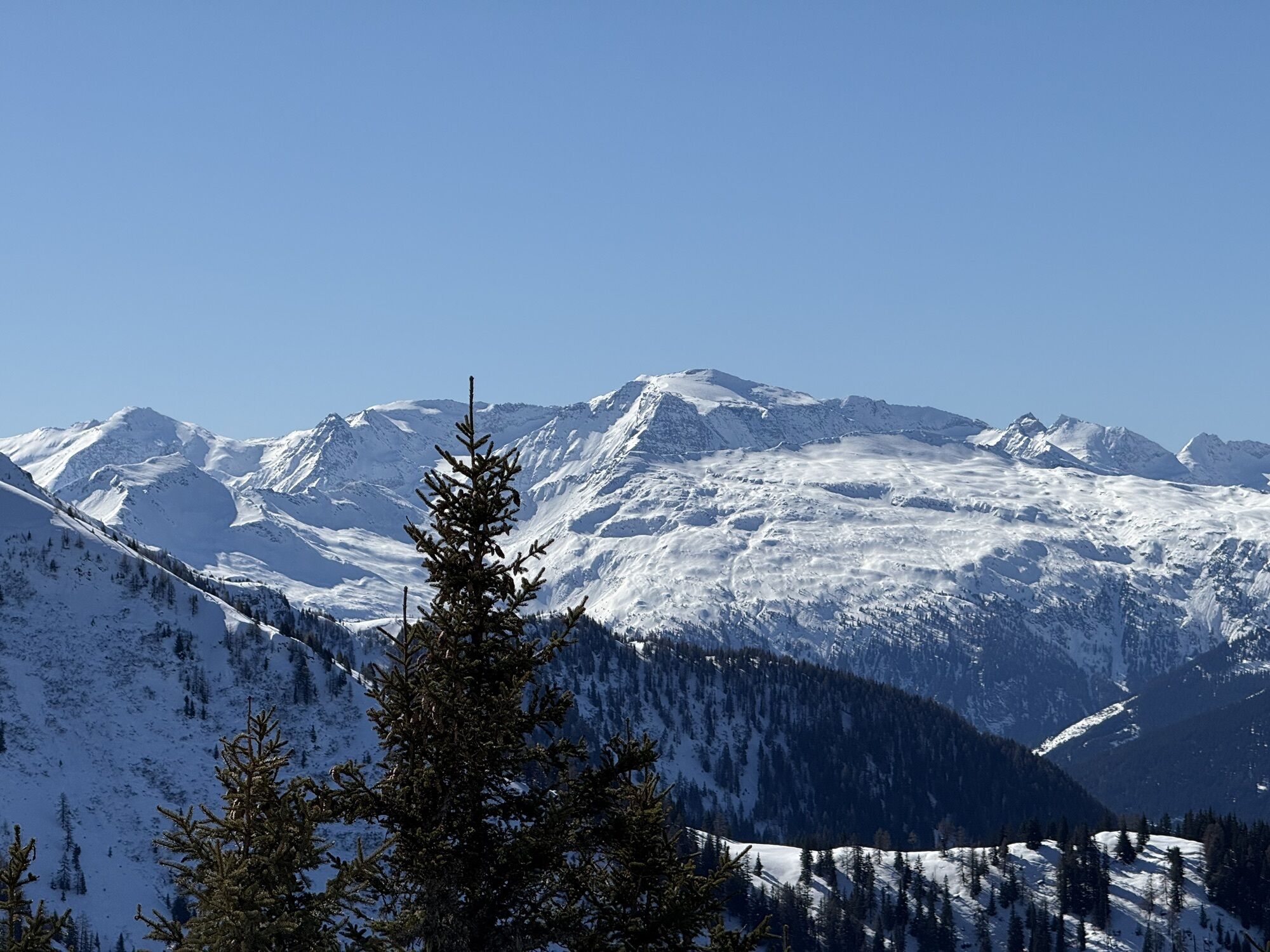
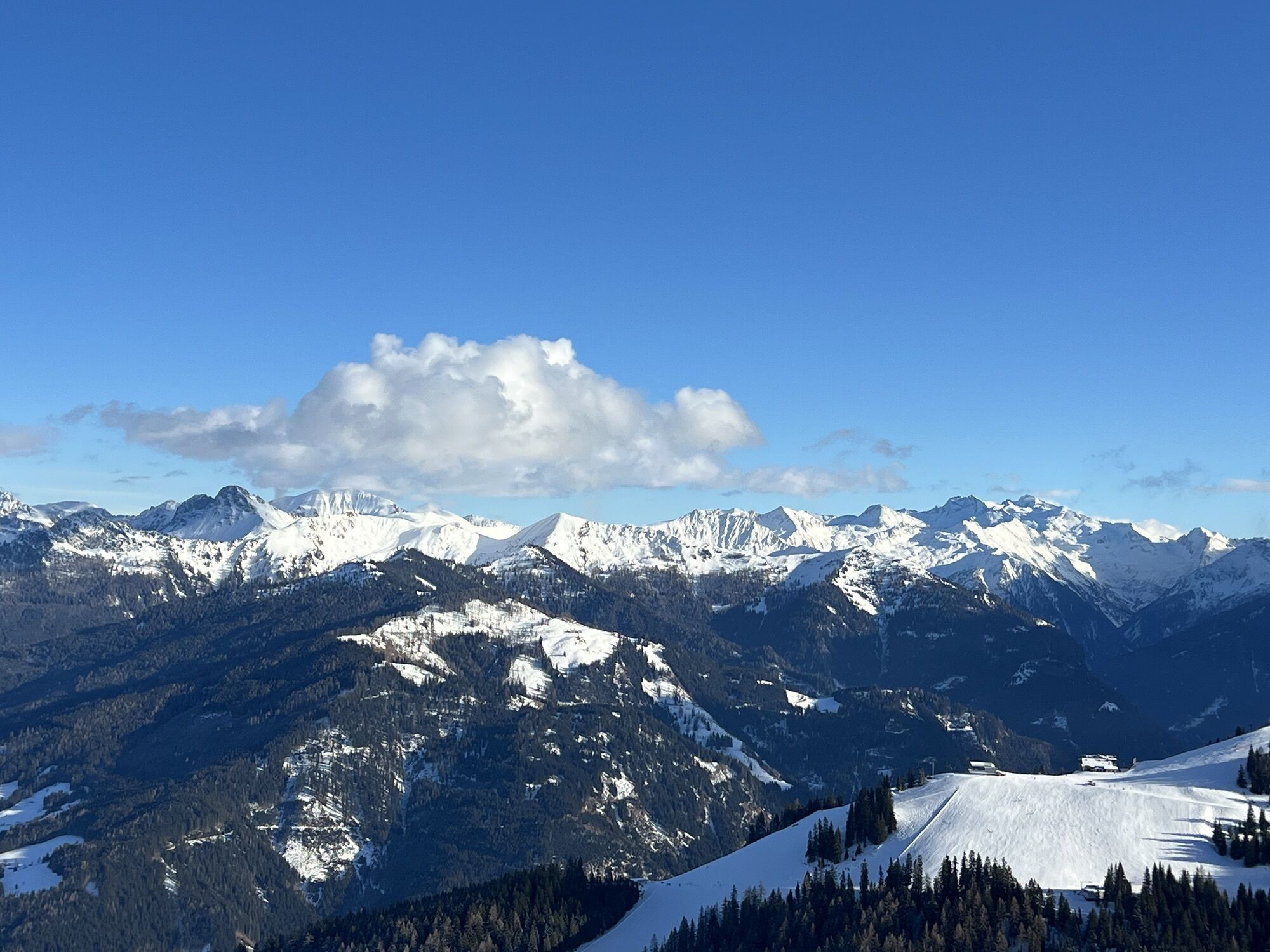
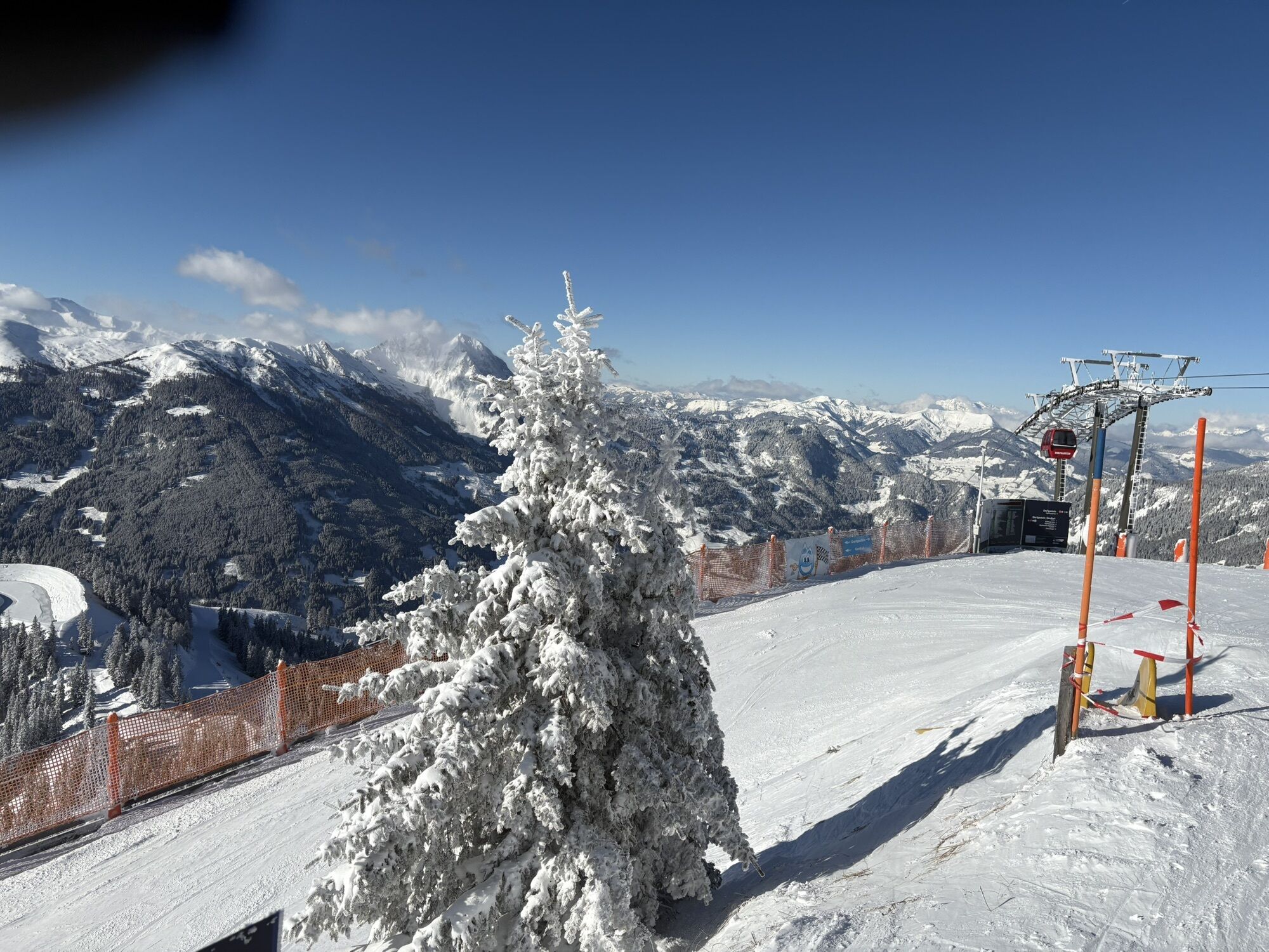
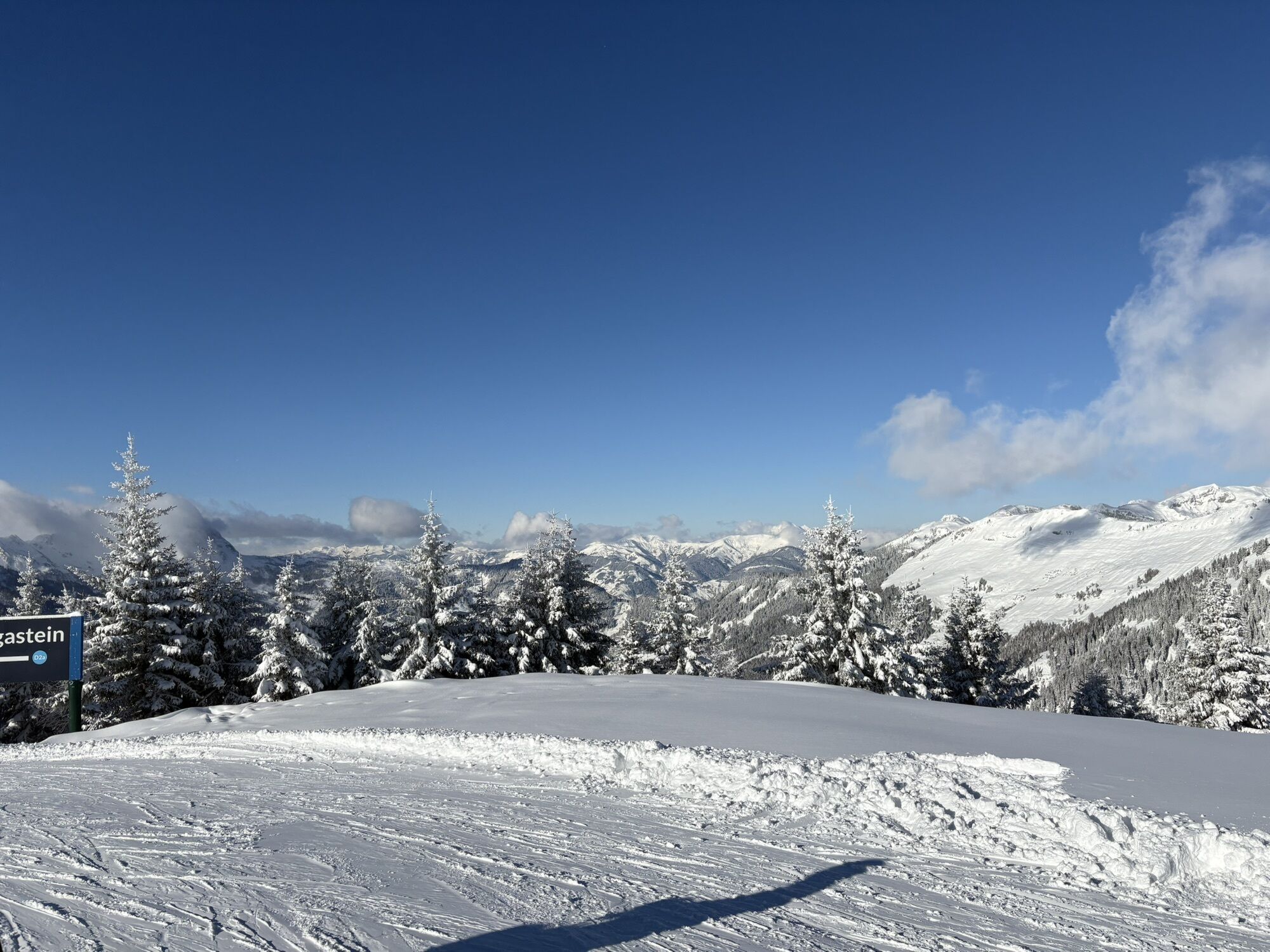
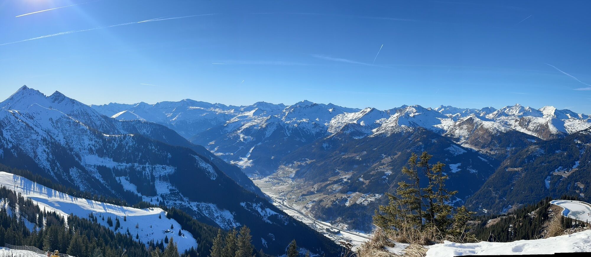
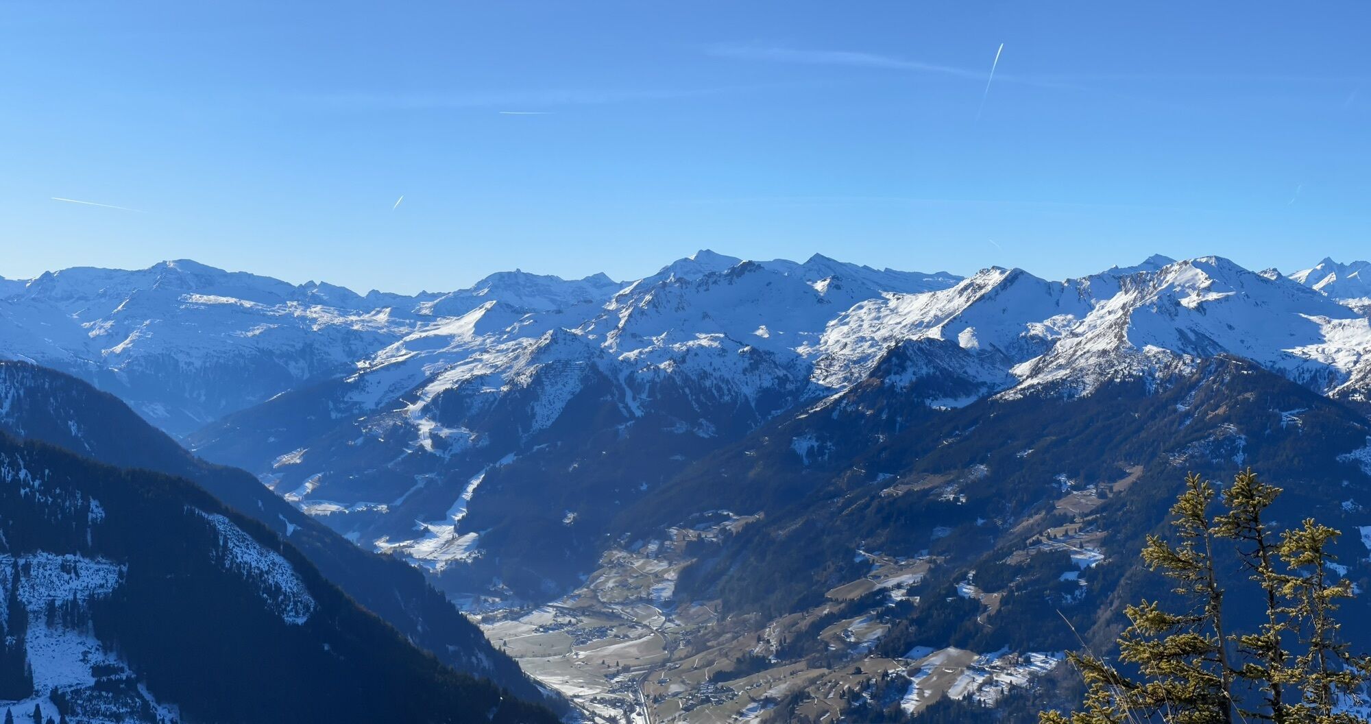
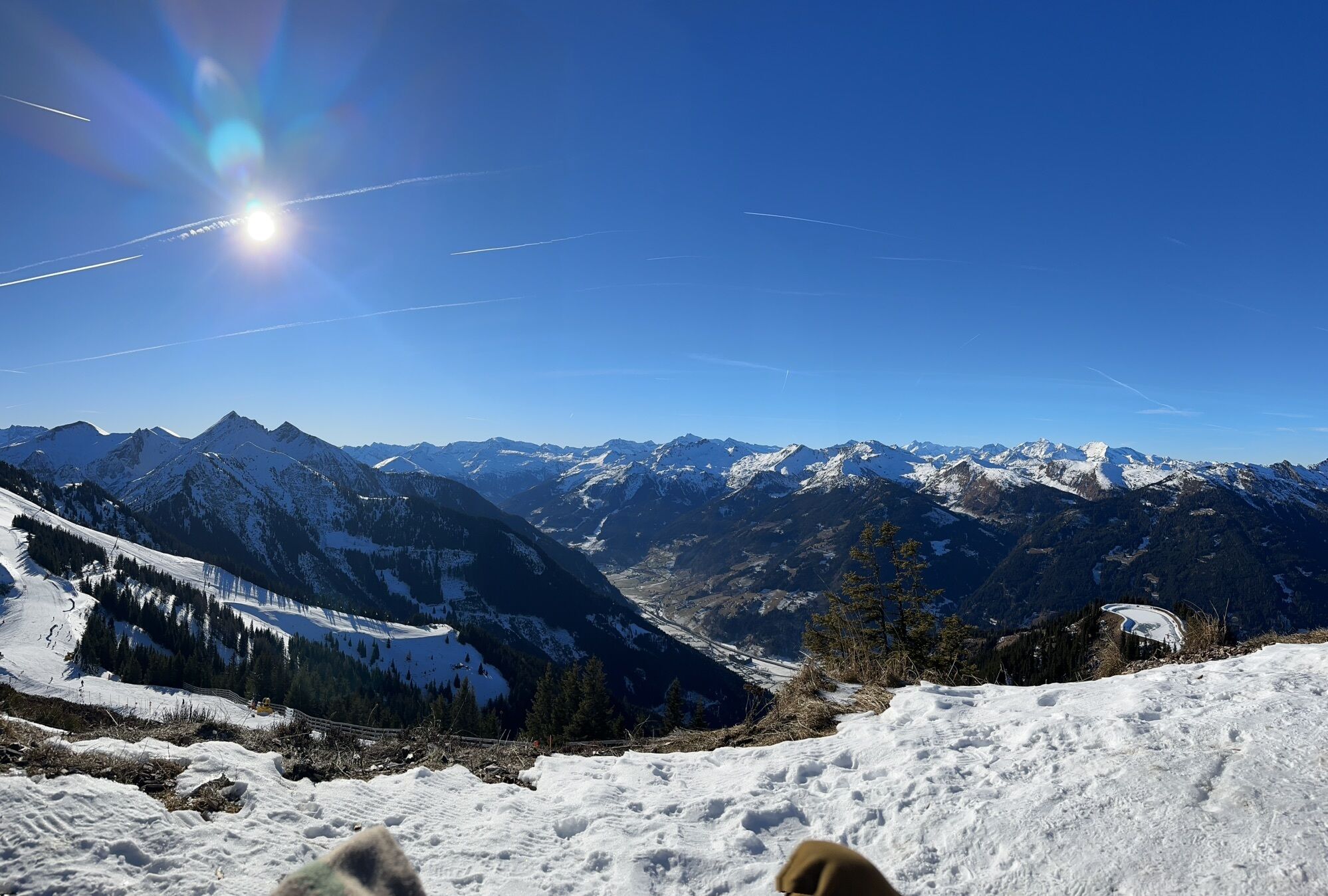
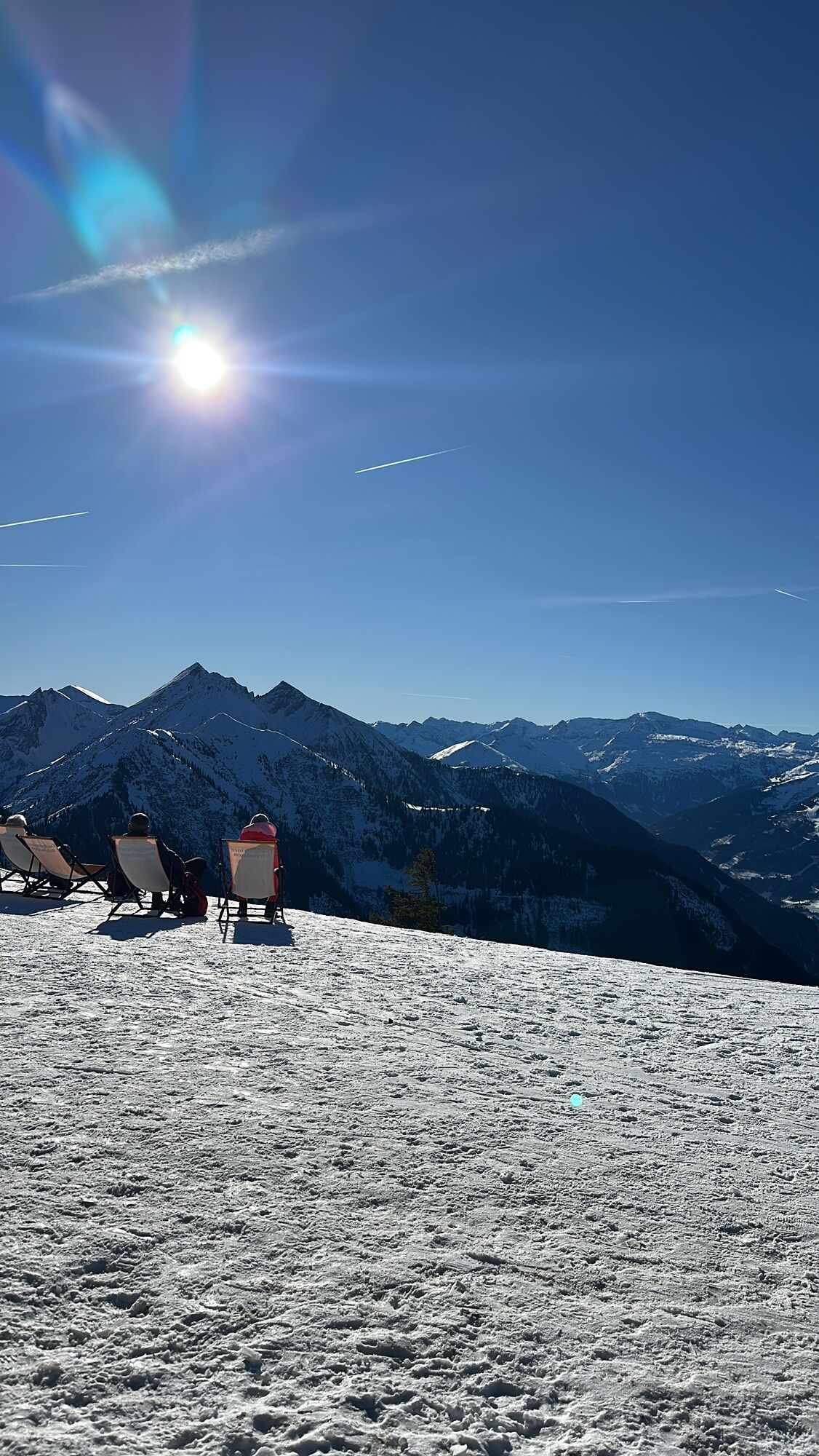
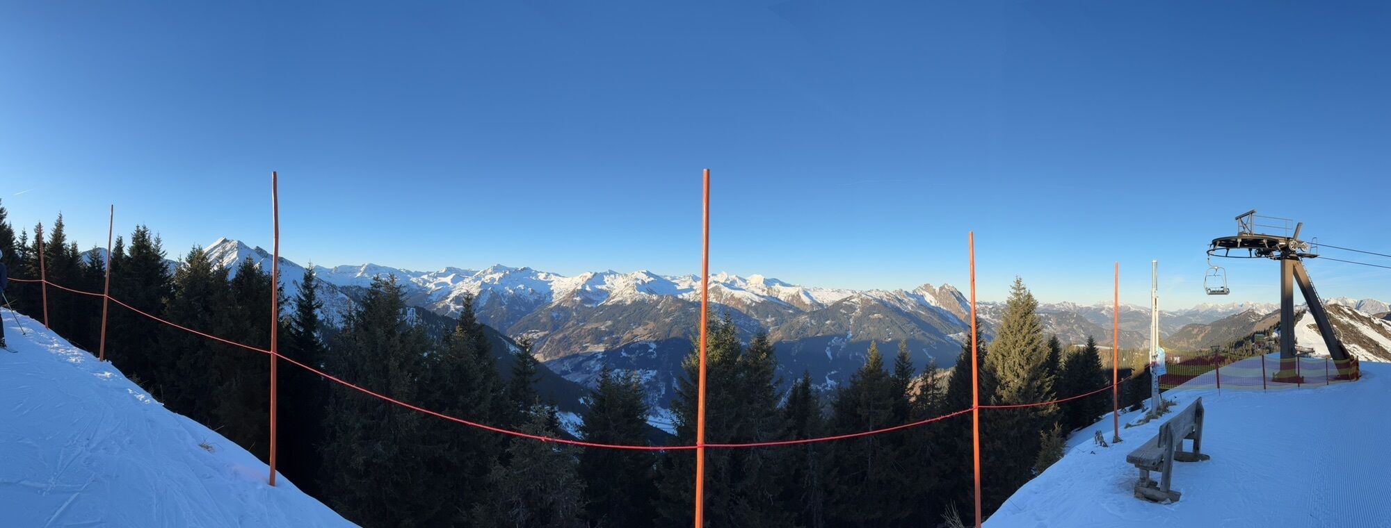
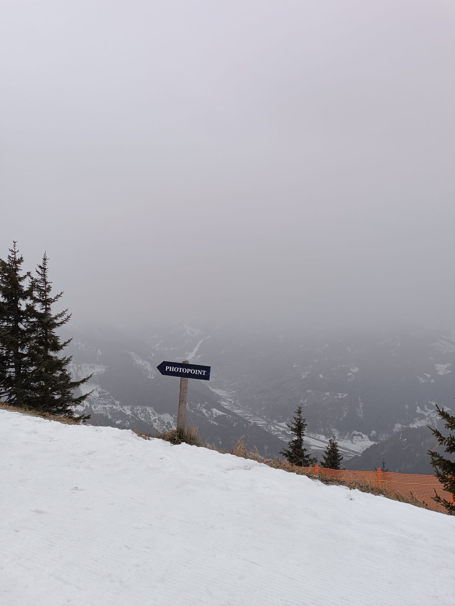
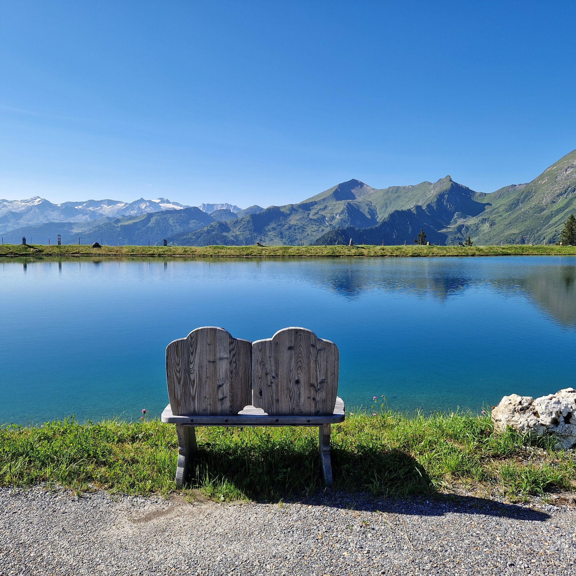
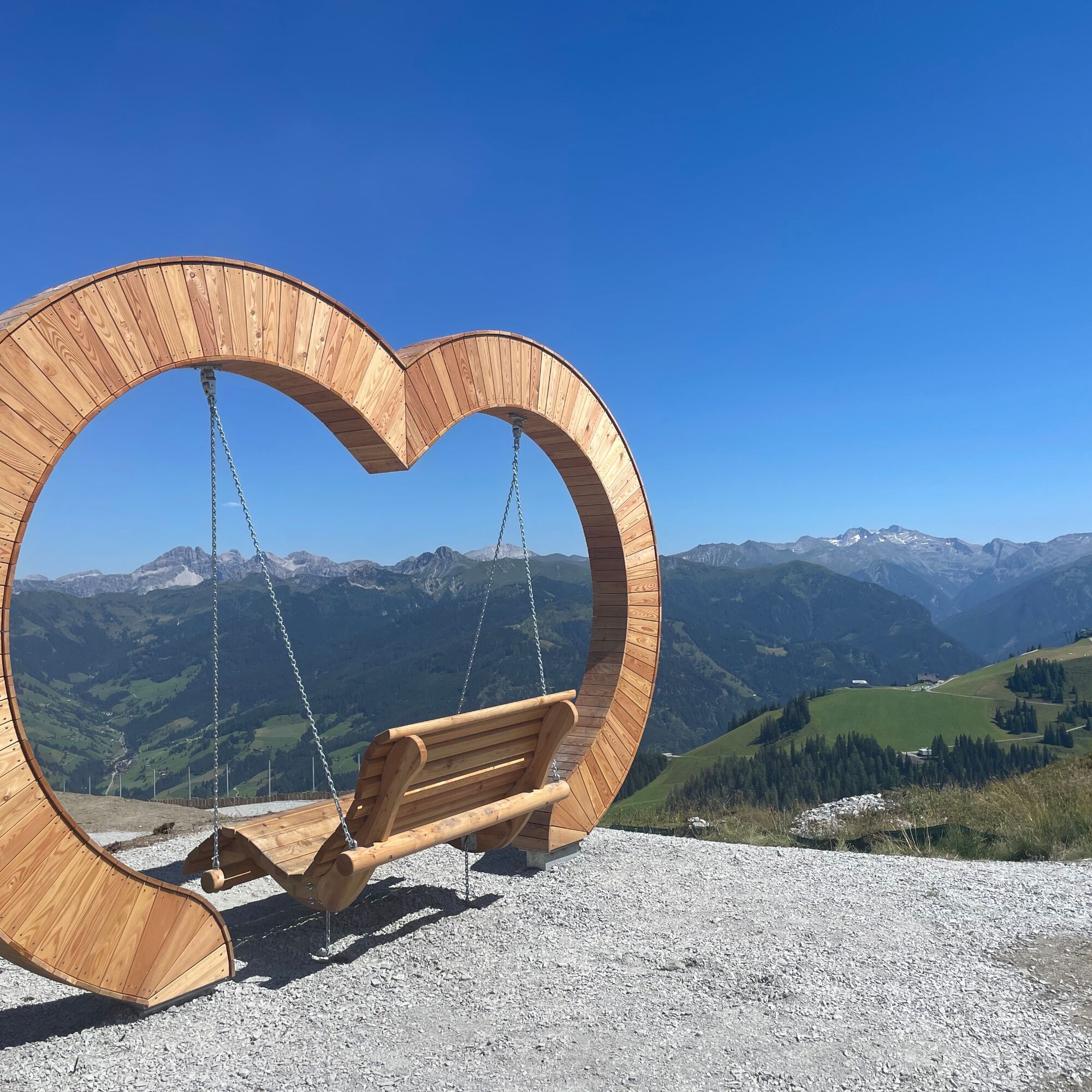
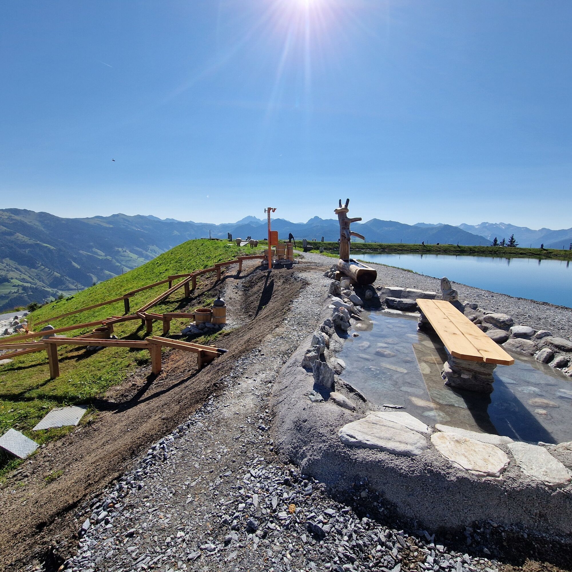
This hike is suitable for the whole family. Quite leisurely, you take the new Kieserlbahn up to the mountain station from where the hike starts. Over the mountain ridge, it goes to the Fulseck and then over the Kreuzkogel. The hike leads towards the Panoramabahn mountain station, where you then continue to the adventure lake Himmelreich. The return to the valley is then by the Panoramabahn. This route offers you spectacular panoramic views, various viewing platforms, natural spots, marble runs, and swings for both young and old.
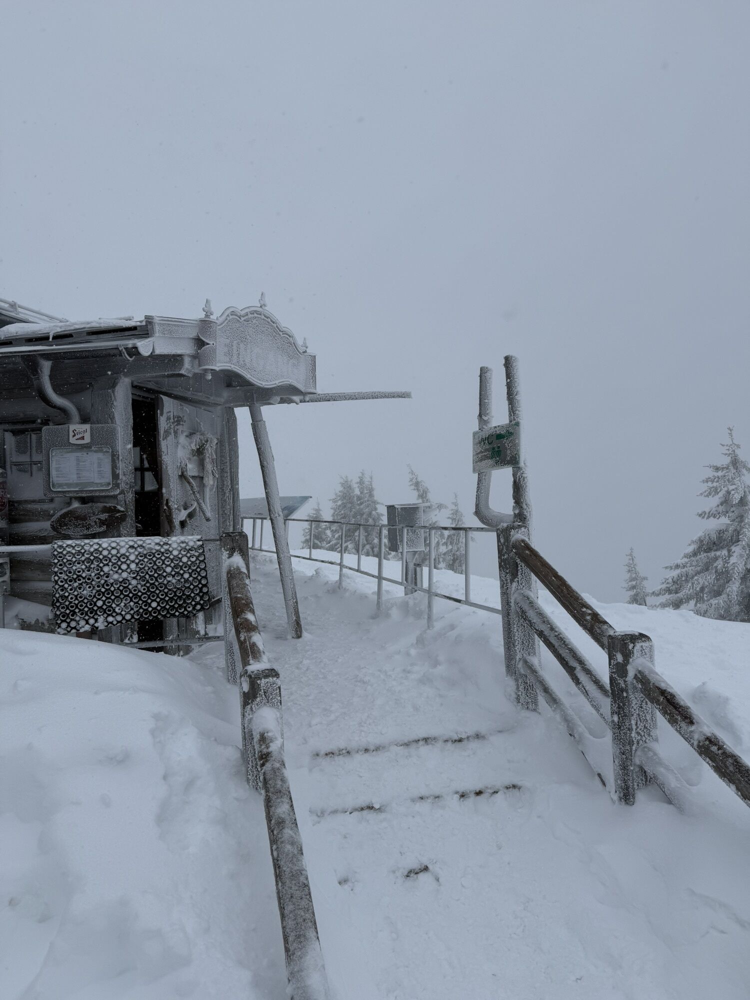
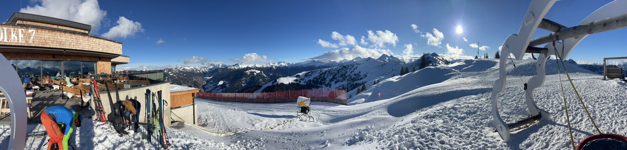
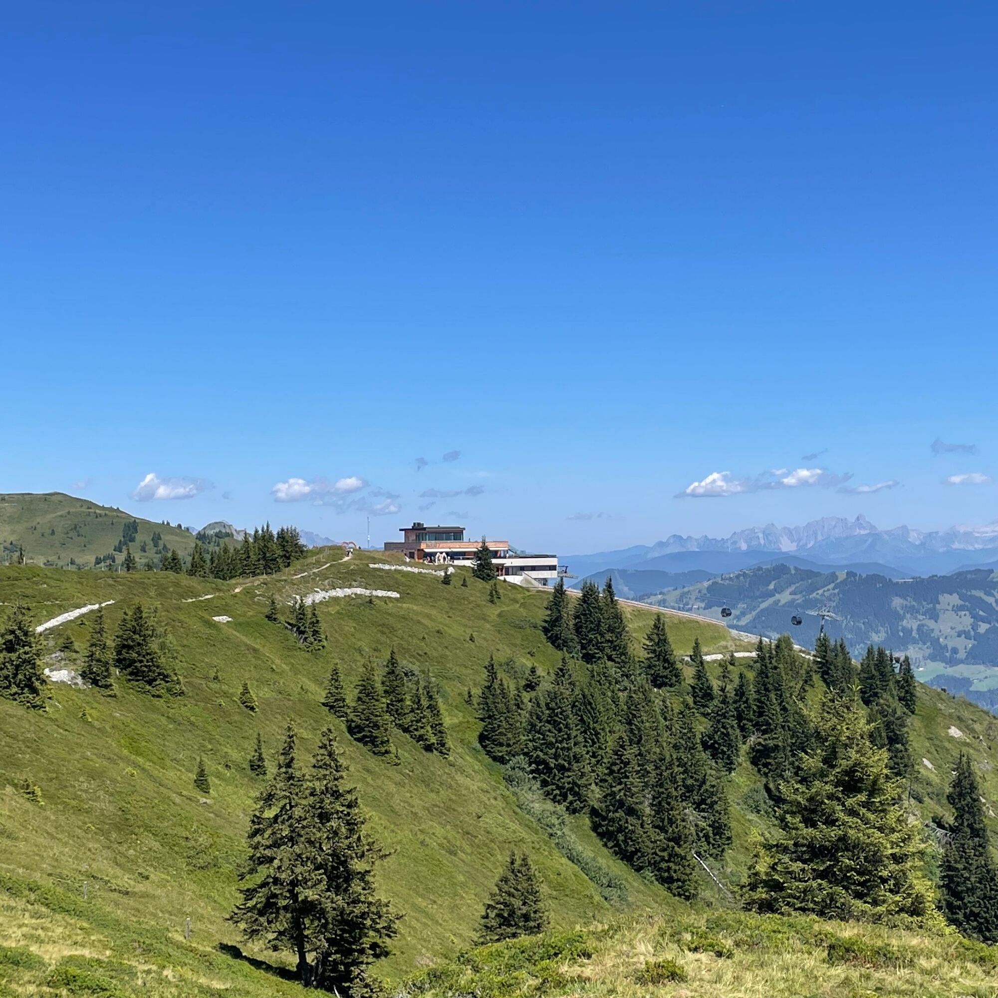
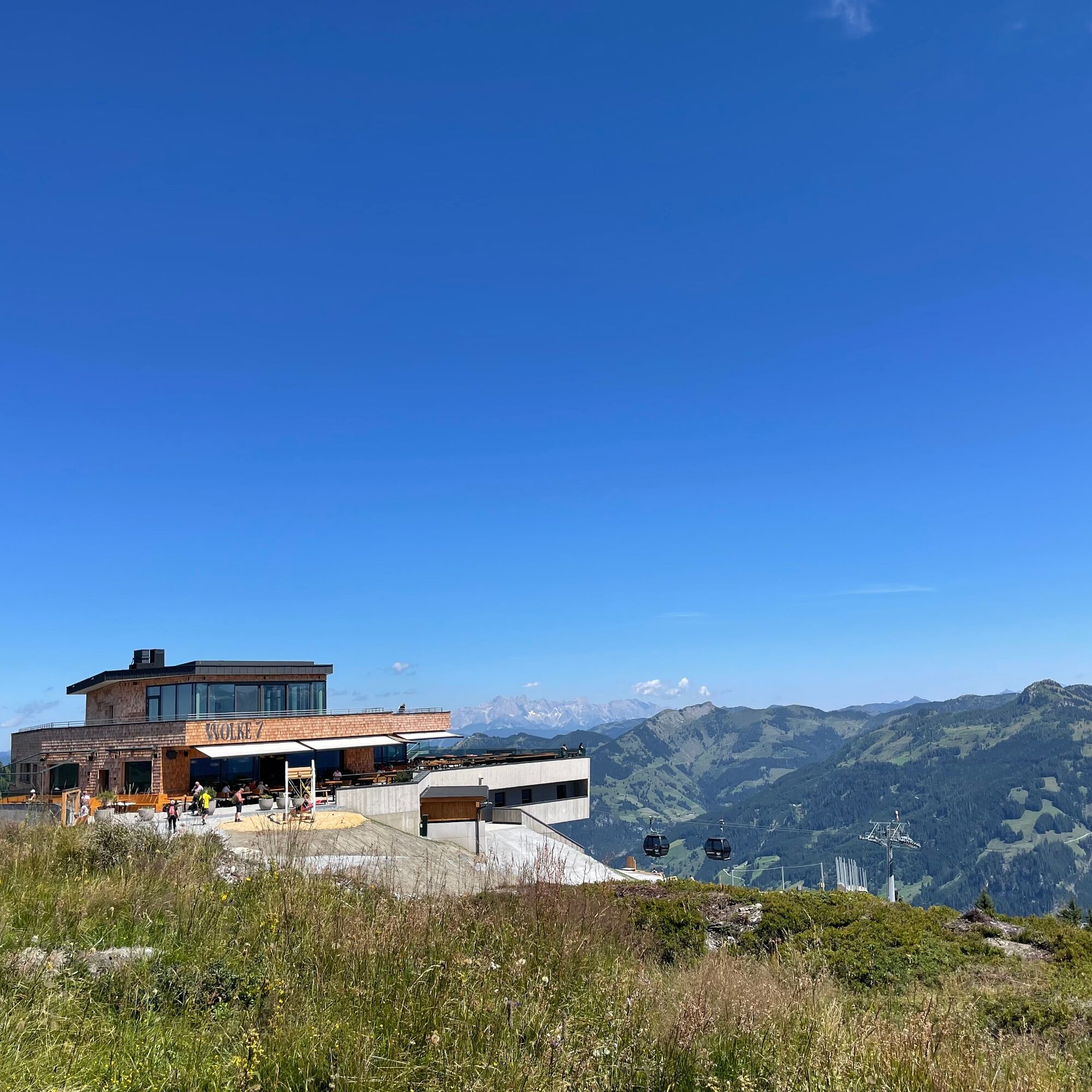
Along the way, you can stop at these mountain restaurants: Wolke 7, Hauserbauer's Gipflstadl, Schialm Kreuzkogel & Laireiteralm.
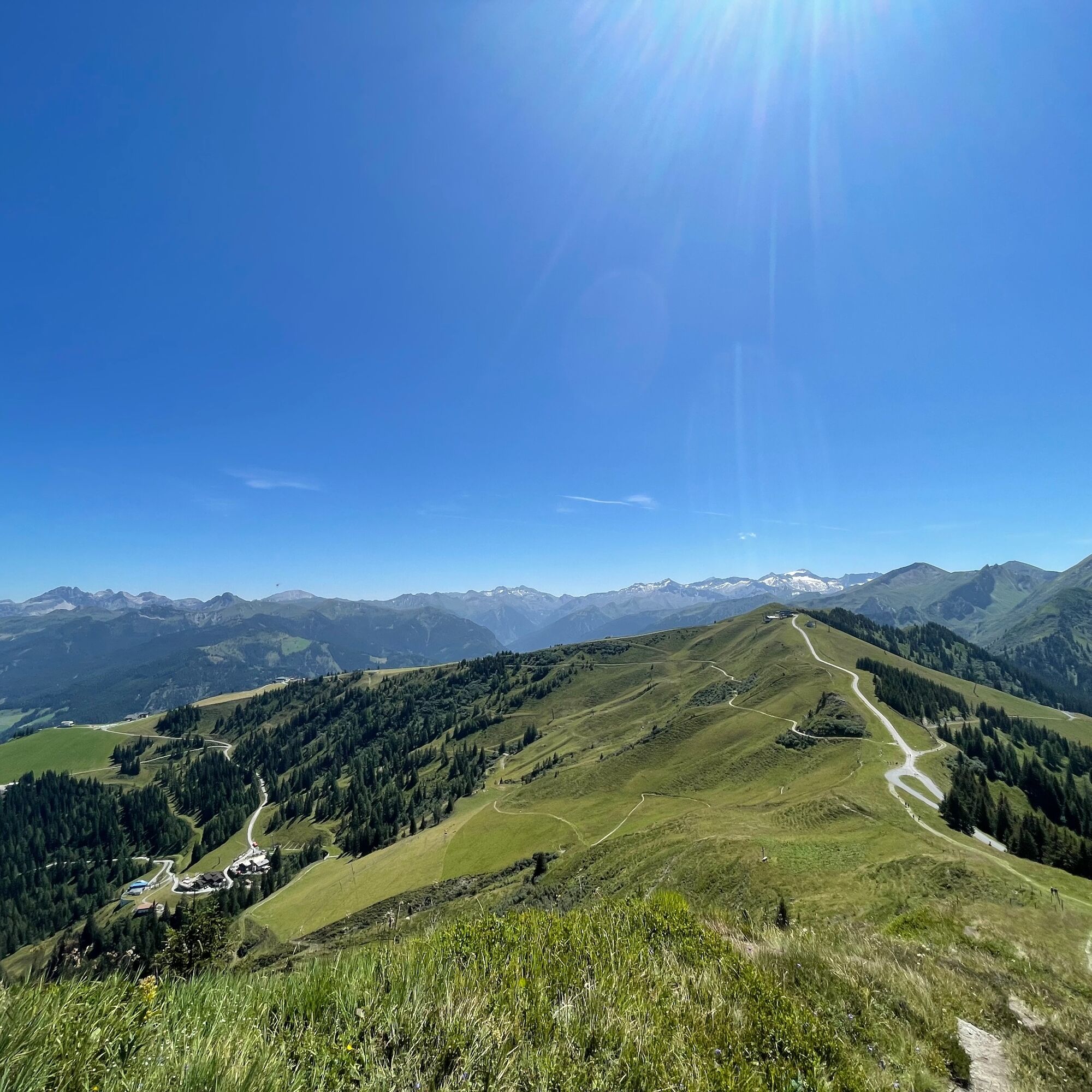
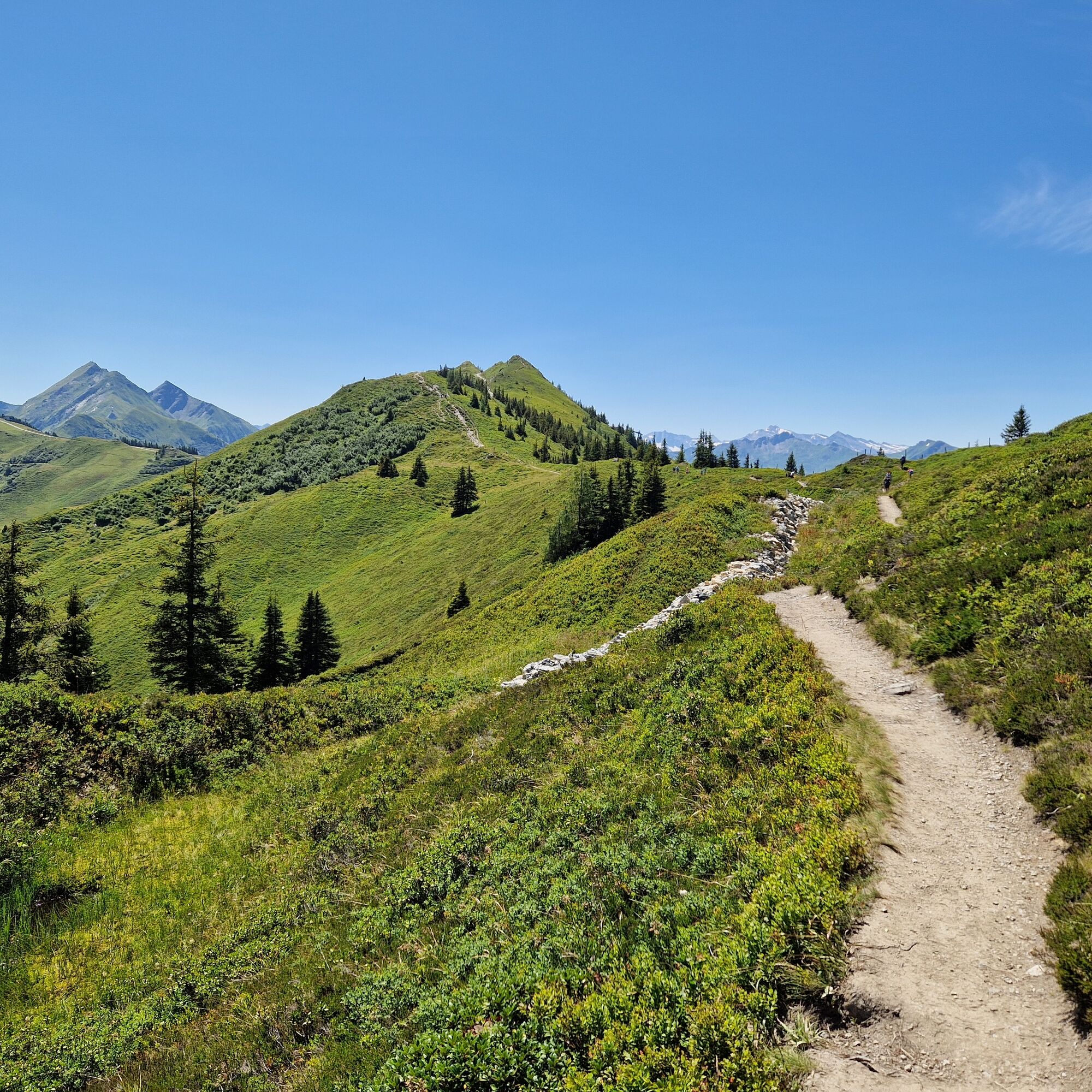
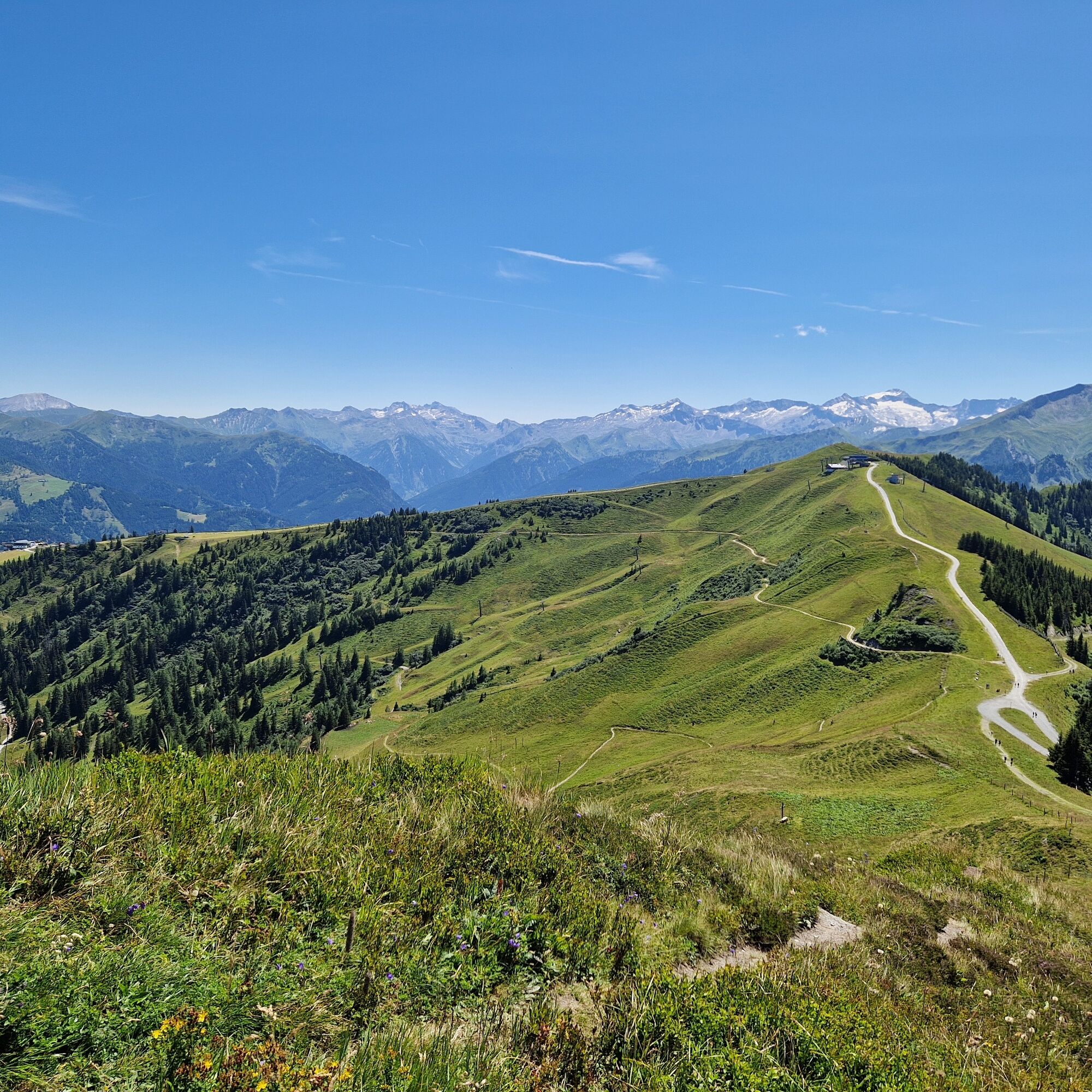
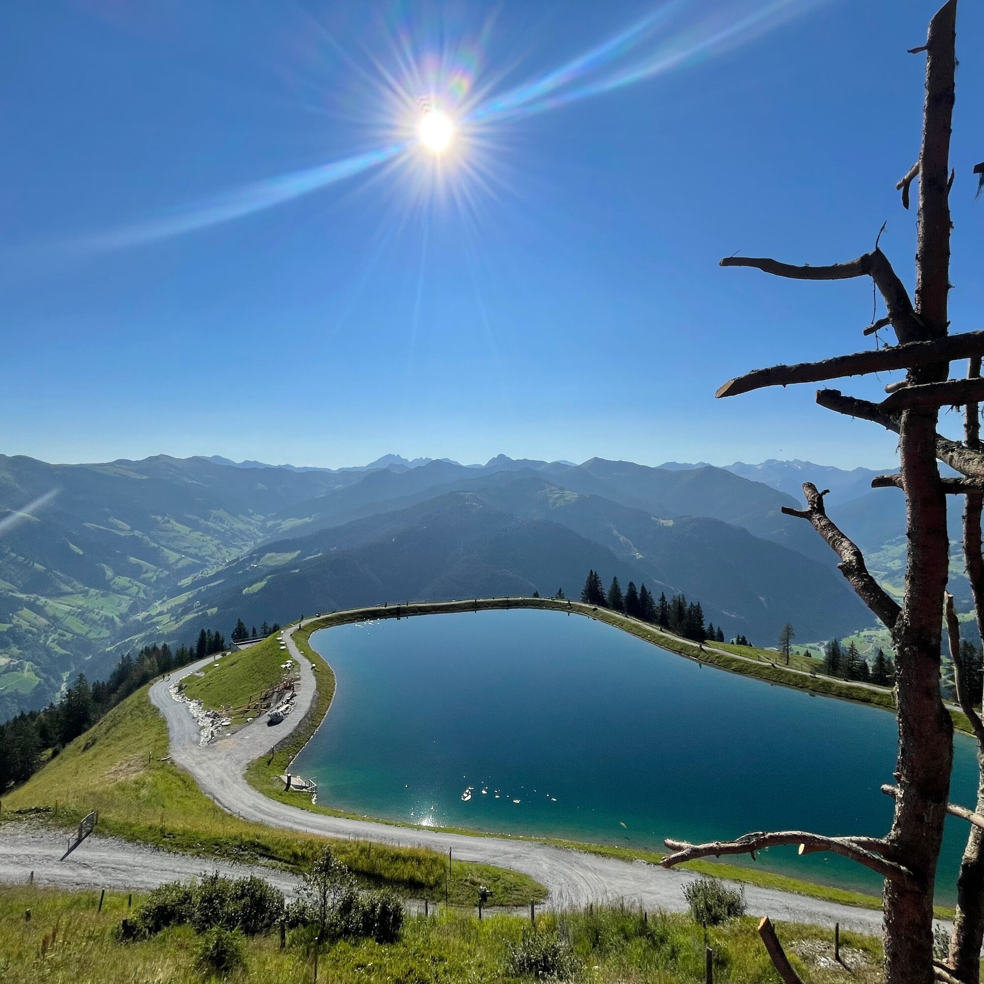
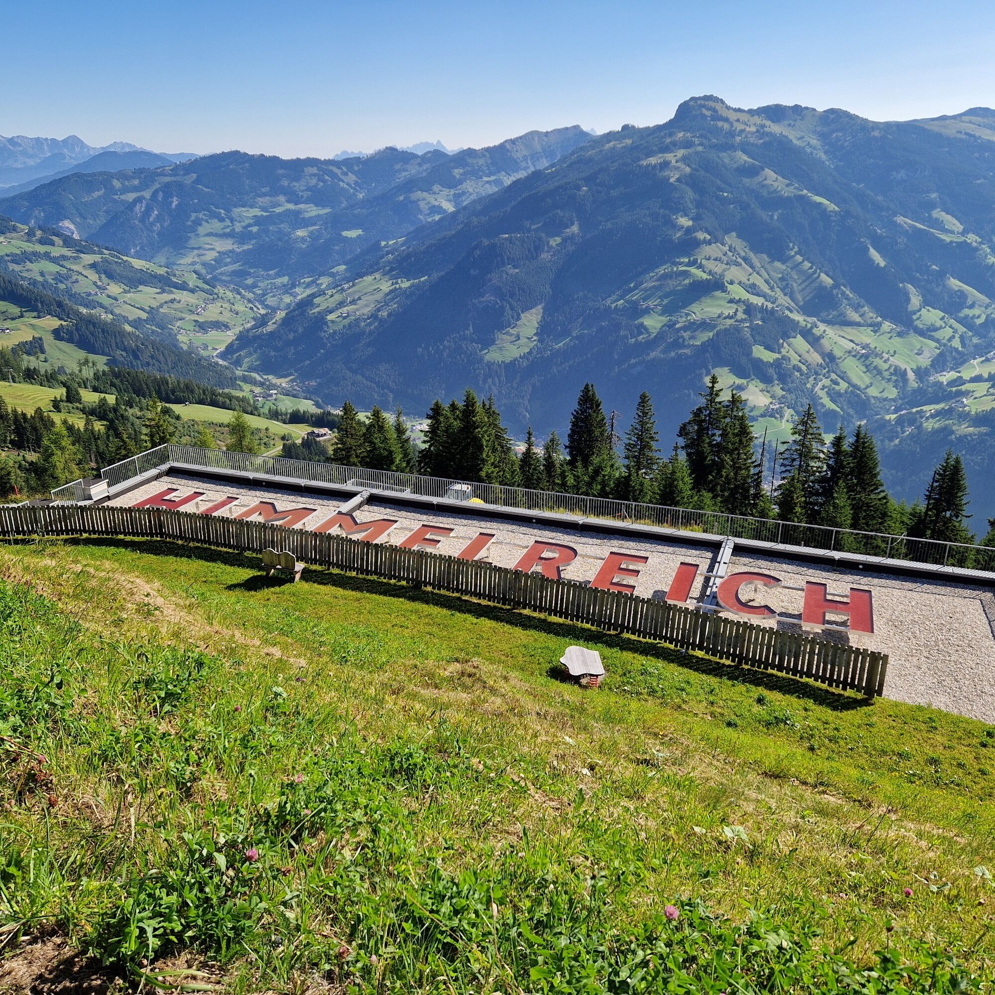

Ascent with the Kieserlbahn to the mountain station, 1,954 m. Quite leisurely, the path No. 36 gently ascends to the Fulseck, 2,035 m (approx. 1/2 h). From there, it continues to the Kreuzkogel, 2,027 m (approx. 1/2 h). From there, it still goes downhill on path No. 36 towards the Panoramabahn mountain station, 1,850 m (approx. 1/2 h). The hike then leads you in about 15 minutes to the adventure lake Himmelreich, before returning to the valley with the Panoramabahn.
Tak
Tak
Tak
Hiking shoes with profiled sole, hiking map
Drive by car or take the Postbus line No. 540 from St. Johann im Pongau/Hüttschlag to Großarl (bus stop Sports Center).
Mountain railways parking lot
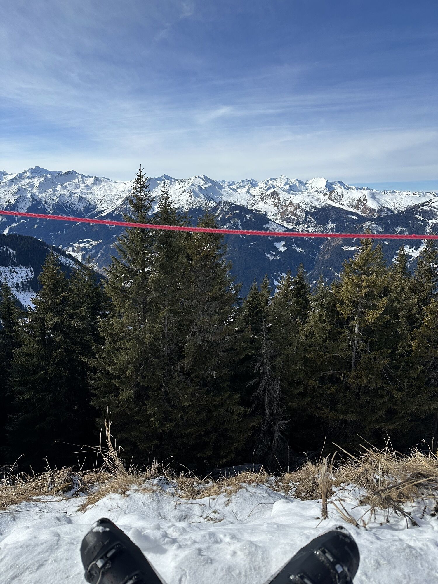
Along the path, there is a viewing platform at Fulseck and at Lake Himmelreich. There you can really enjoy the breathtaking view.
Kamery internetowe z trasy
Kreuzkogel
Fulseck
Hotel Lammwirt im Großarltal/Ellmautal
Dorfgastein - Spiegelsee
Bergstation 6er Sesselbahn Harbach
Gästehaus Hagenhofer - Dorfgastein
Ellmautal - Palfenhof
Kühhagerbahn Bergstation
Großarl - Ort
Dorfgastein - Spiegelsee
Dorfgastein - Spiegelsee
Dorfgastein - Spiegelsee
Dorfgastein - Spiegelsee
Dorfgastein - Bergl
Großarl - Kieserlbahn
Grossarl - Hotel Gasthof Schützenhof
Großarl - Hotel Kristall Übungslift
Bergstation Kieserl
Großarl


Popularne wycieczki w okolicy
- 4,9
Großarl: Aualm - Liechtensteinkopf - Aukopf - Schuhflicker - Schuhflickersee
średniWędrówka 5,84 km - 5,0
Großarl: Alpine pasture circuit in Ellmautal
średniWędrówka 9,69 km - 4,1
Tappenkarsee Kleinarl
średniWędrówka 9,11 km - 4,7
Großarl: Mooslehenalm – Niggeltalalm – Viehhausalm
średniWędrówka 5,44 km - 5,0
Hüttschlag: Karteistörl - Tappenkarsee - Draugsteintörl - Draugsteinalmen
średniWędrówka 13,5 km - 4,5
Mountain route from the Kötschachtal to the natural jewel Reedsee
średniWędrówka 12,5 km - 4,8
Höhenweg vom Grünen Baum bis Bad Hofgastein
światłoWędrówka 7,92 km - 4,8
Liechtensteinklamm mit Helix
światłoTrasa tematyczna 3 km - 4,6
Großarl: Saukaralm - Saukarkopf - Gerstreitalm
średniWędrówka 9,39 km - 4,7
Hüttenkogel - Graukogel von der Bergstation
średniWycieczki górskie 4,68 km
Wędrówki i tropienie


Nie przegap ofert i inspiracji na następne wakacje
Twój adres e-mail została dodana do listy mailingowej.