


Stork Route
Poziom trudności: 1
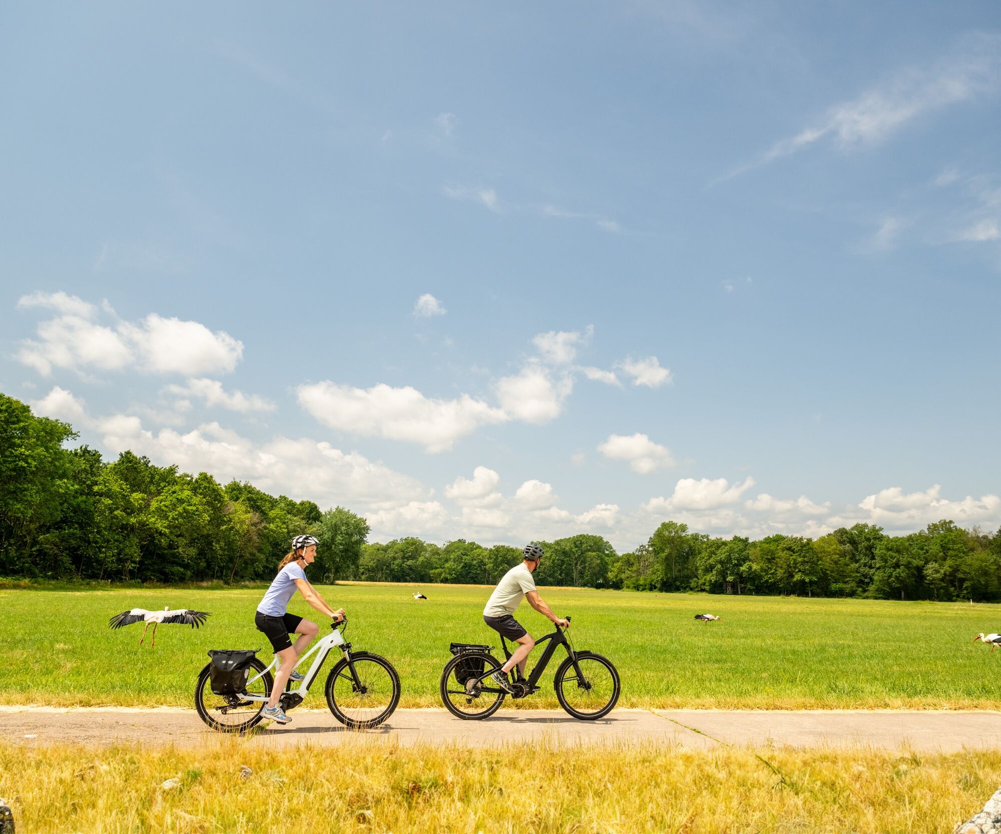
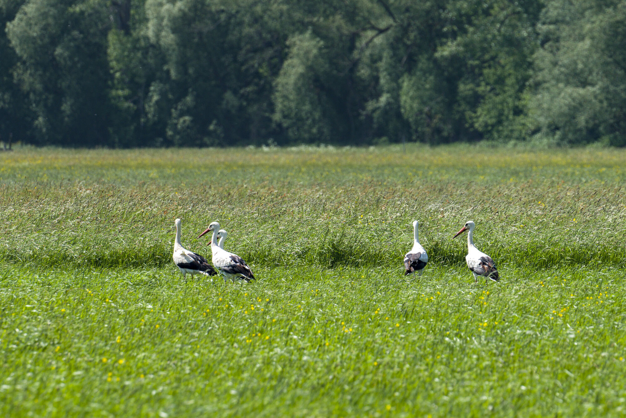
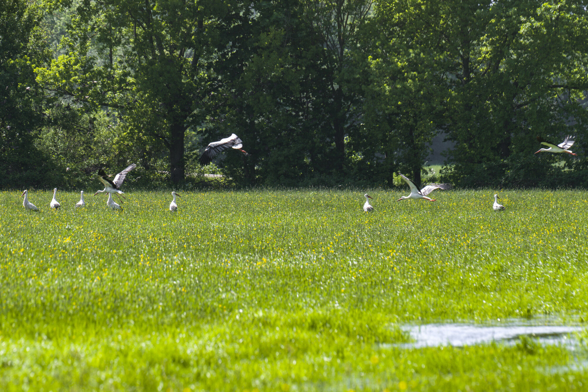
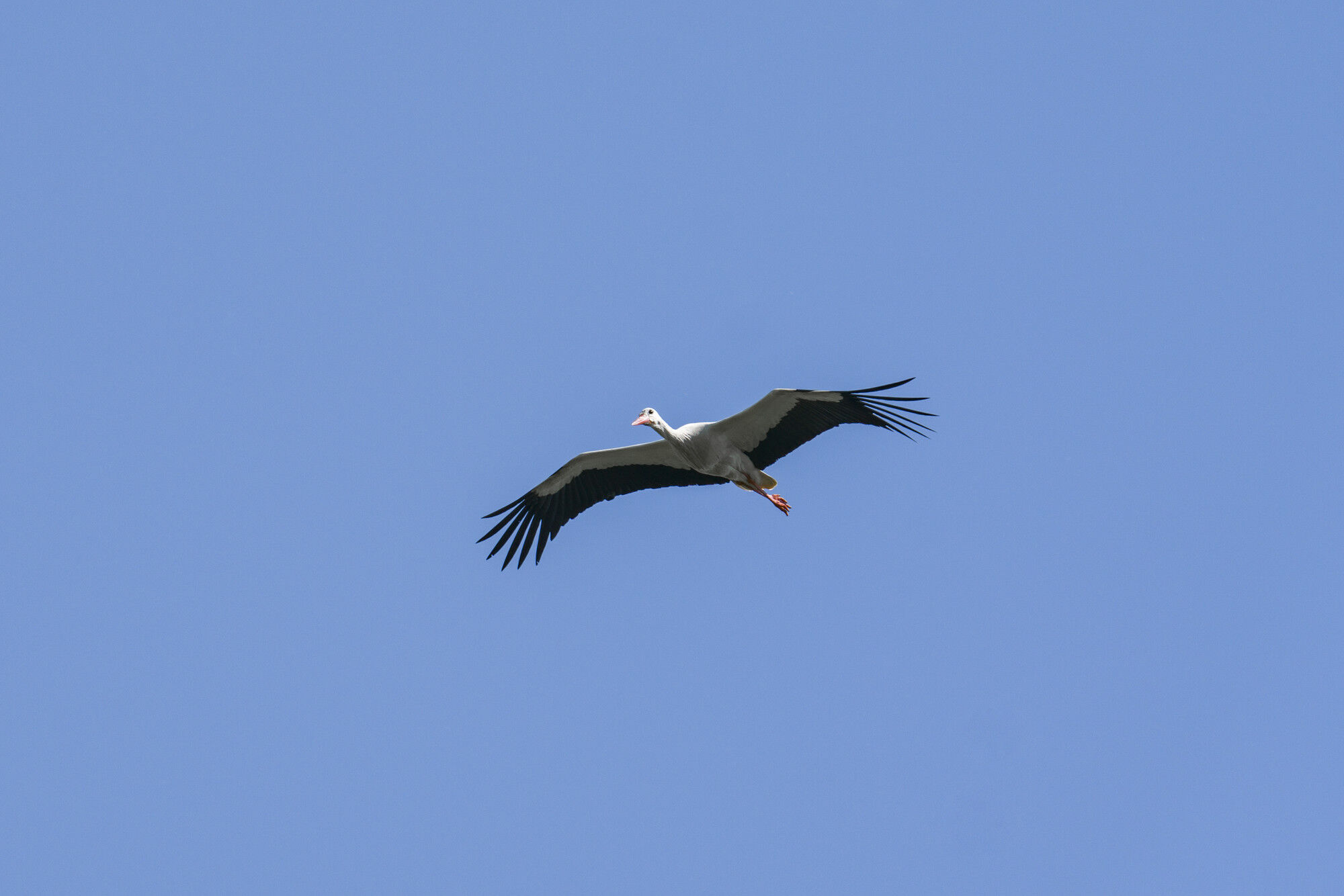
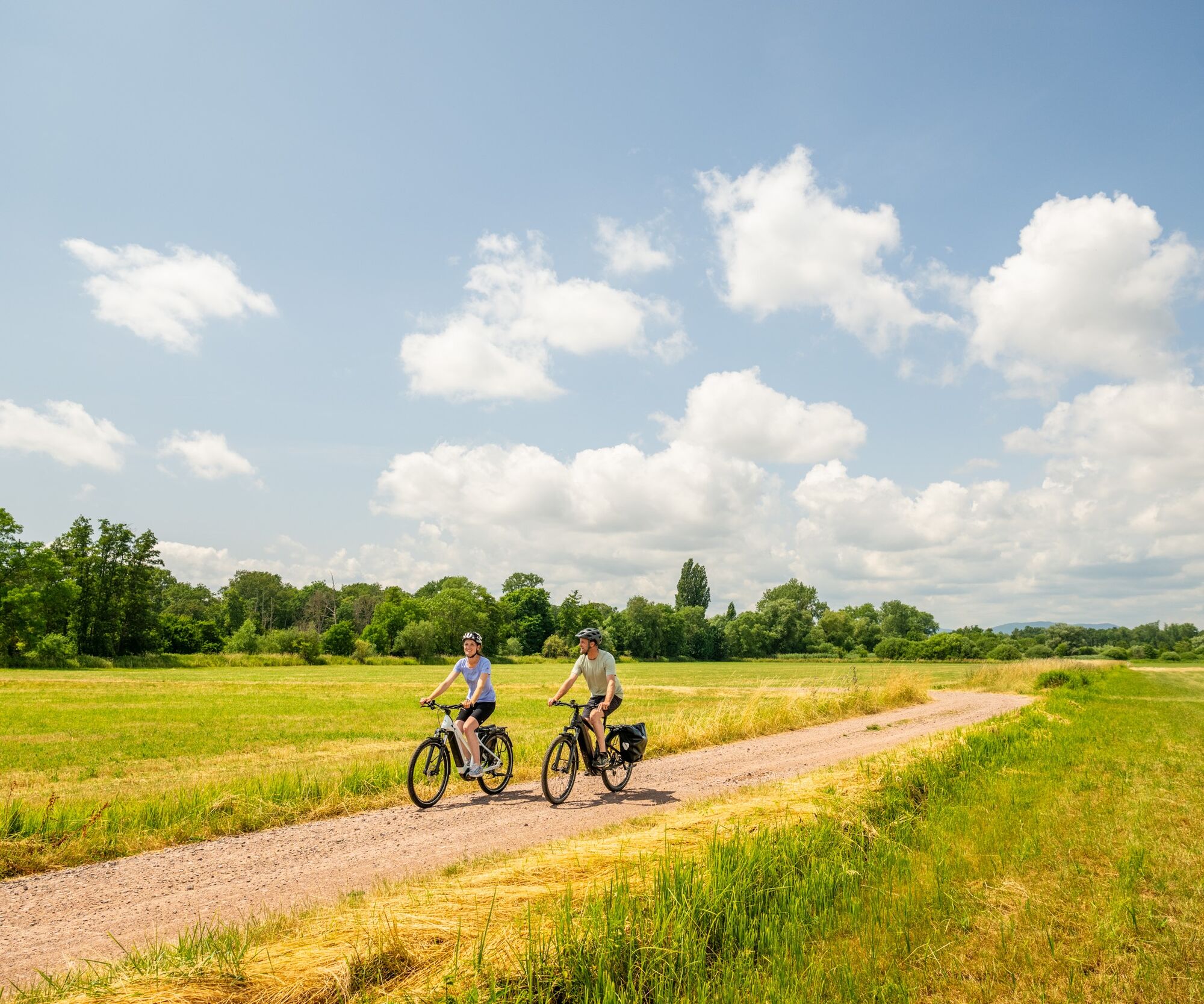
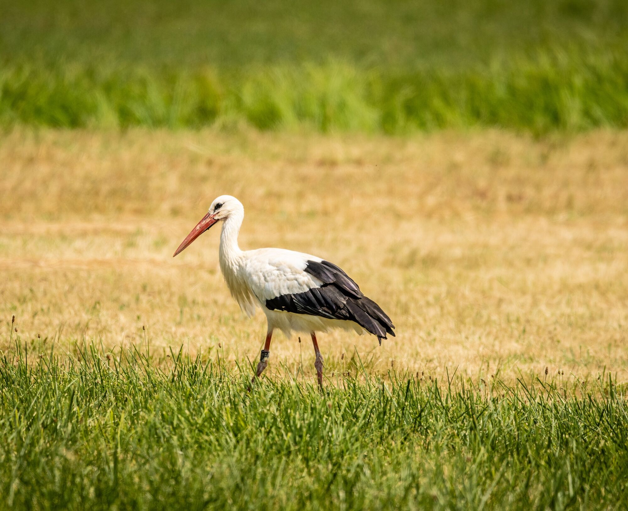
The circular route "Stork Route" located east of Landau in the Palatinate takes you on a total length of 39 km through the natural habitat of the white storks. Since the late 1990s, the white stork has...
The circular route "Stork Route" located east of Landau in the Palatinate takes you on a total length of 39 km through the natural habitat of the white storks. Since the late 1990s, the white stork has become native again in the Palatinate, so today a stable population can be recorded. You cycle on bike, field, and forest roads for under 3 hours on this easy route with occasional moderate inclines through pleasant forest passages, the Queich meadows, and picturesque towns. Depending on the time, you will discover nesting, stalking, and flying storks and have the opportunity to learn extensively about these special animals at the Stork Centre in Bornheim. Particularly exciting is the route during the traditional Queich meadow irrigation period, in the high summer when young birds can be observed in the stork nests, or in late summer when the storks gather for their migration southward.
The Stork Route is currently not yet signposted. Signposting with a route logo is planned from 2025. Changes to the route course are possible until then.
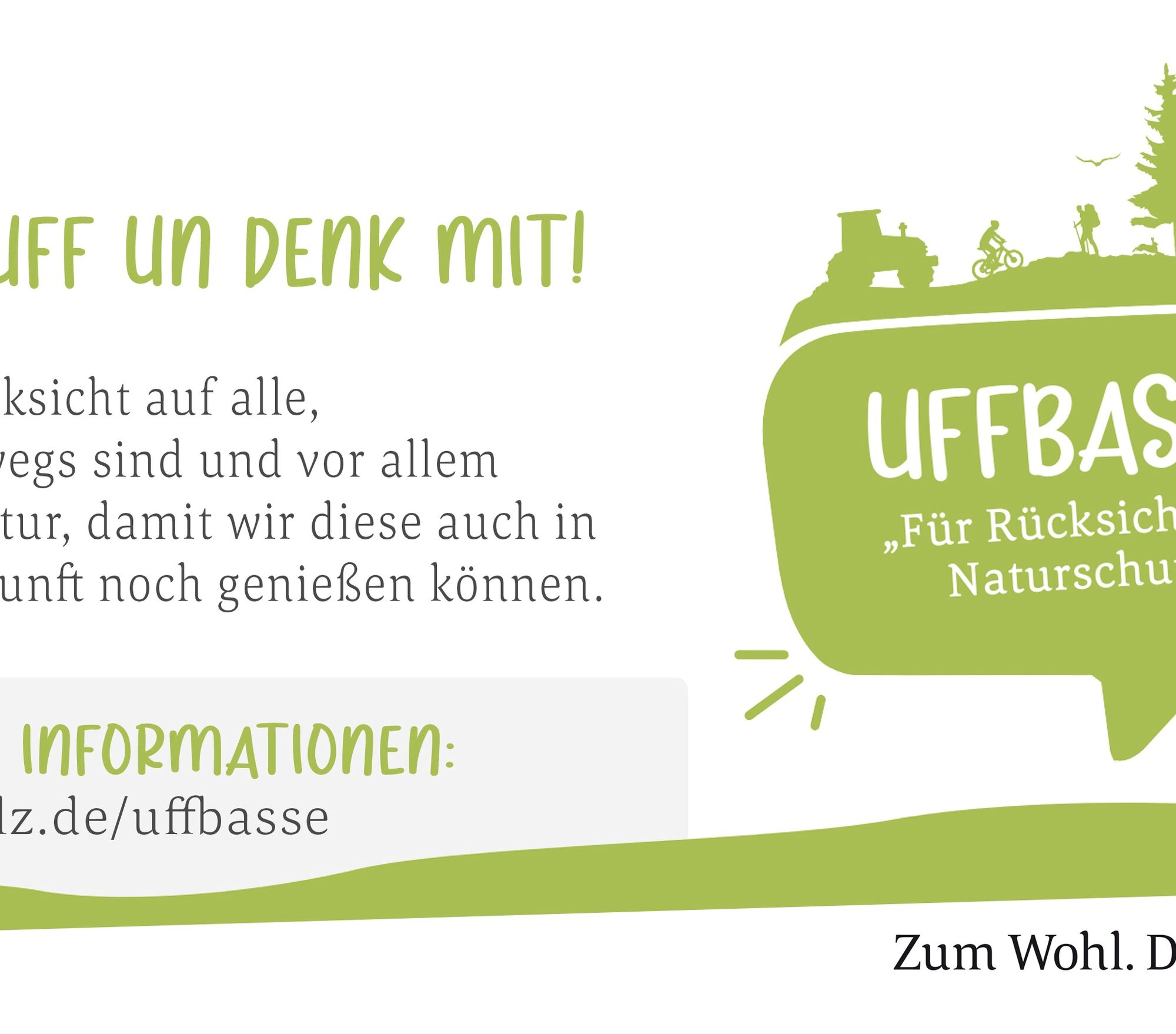
UFFBASSE! - campaign for considerate coexistence in nature
Travel considerately - Always behave in a foresighted, friendly, and considerate manner towards everyone you meet on the way. This is especially true on farm roads, where winemakers, farmers, and foresters also work on weekends. Picnic & trash - Think of a trash bag for on the go and take waste back home. Use only furnished rest areas for breaks & picnics.More information at www.pfalz.de/uffbasse

The Stork Route is currently not yet signposted. Signposting with a route logo is planned from 2025. Changes to the route course are possible until then.
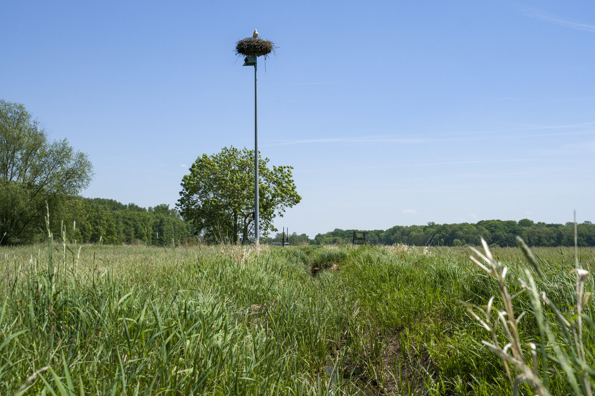
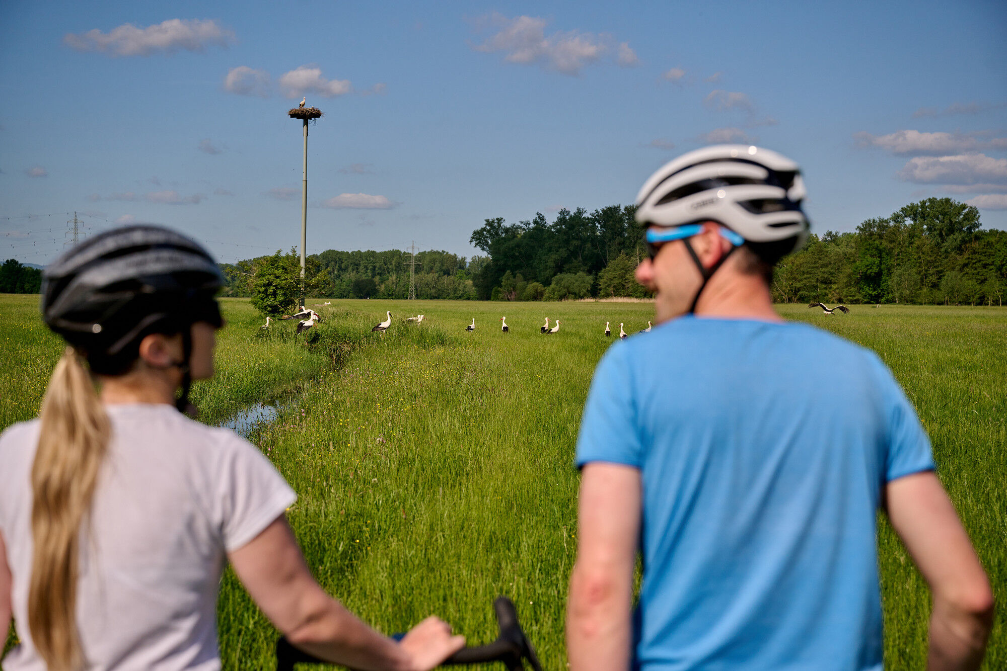
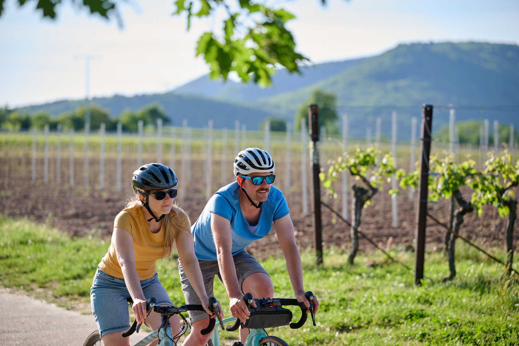
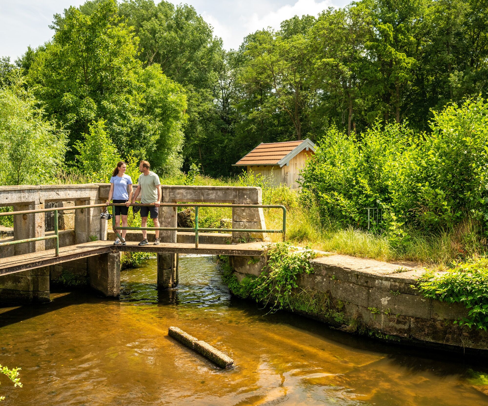
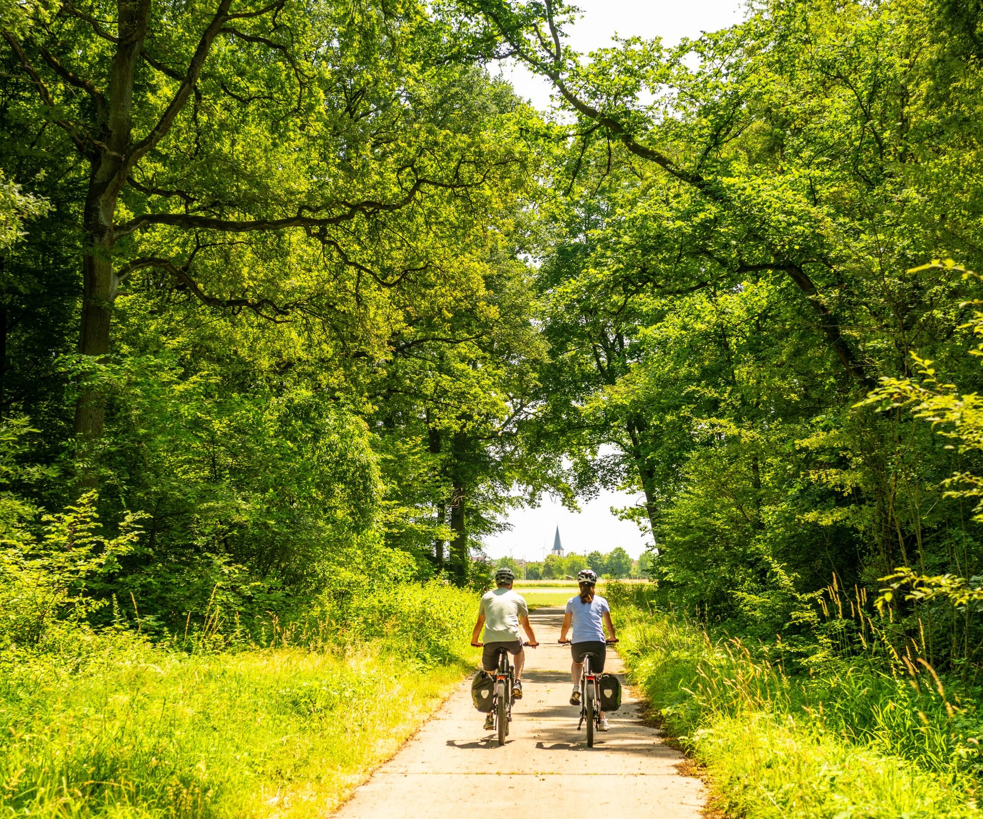
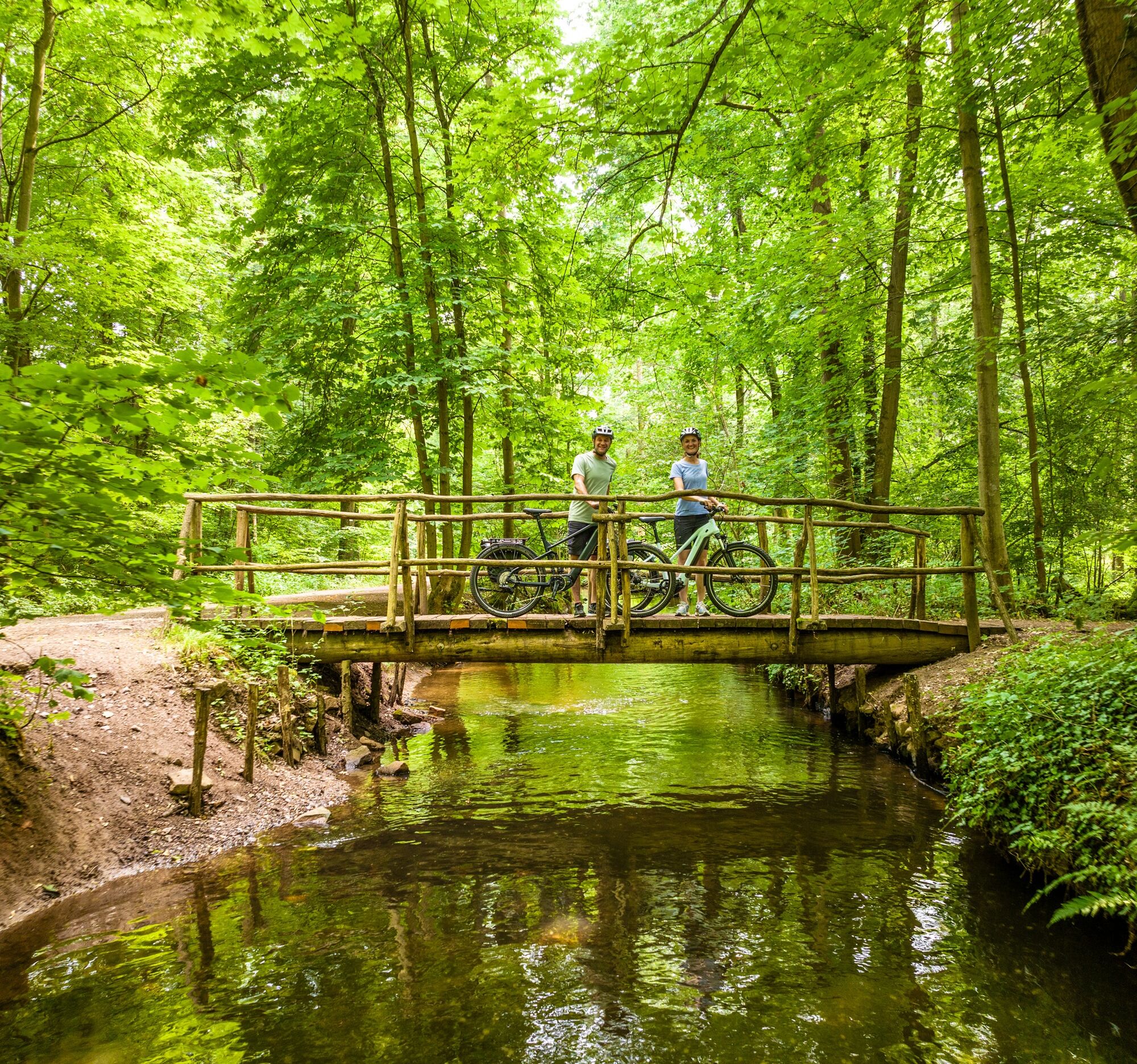
Starting the route at the Bellheim car park, you first continue on the Queichtal cycle path northwards through the Bellheim Forest. On this stretch, you will pass the deserted settlement Friedrichsbühl, a former hunting lodge of which today only the moat can be seen. Next, you will reach the Queich. Here you can already observe the first storks searching for food. Then you continue a bit through the forest towards the Lustadt sports ground and afterwards through vegetable fields to Zeiskam. At the entrance to Zeiskam, a stork's nest on a power pole will greet you. Since the stork breeding season is from the end of March to the end of July and the young storks fledge after two months, you have the best chance to observe the young storks in their nests during the summer. You now follow the cycle path along the country road to Hochstadt. At the roundabout, you have to cross the B272. Next, continue a bit through the vineyards. Along the way, you will pass the "Houschder Winzerturm," from which you have a great view over the Rhine Plain. The route now leads you to Essingen before you cross the B272 again. The path now leads downhill—don’t miss the next turn of the farm road towards Bornheim. In the stork village Bornheim, you should not miss a visit to the stork barn, where sick, injured, and flightless birds are cared for, and the Stork Centre! With its changing exhibitions and interactive stations, the Stork Centre offers information and insights about the storks, their lifestyle, and their habitat in the Palatinate. The Stork Route continues via Dammheim to the disused Landau - Germersheim railway line, which you follow eastwards. From Dreihof, follow along the golf course until you reach the country road towards Offenbach. From here, follow the cycle path along the district road to the Fuchsmühle. In front of the mill, you can observe storks on the Queich meadows searching for food. Shortly before Offenbach, you turn onto the Queichtal cycle path and follow it to Ottersheim. Passing the Bärensee, turn left at the vintage car barn onto the meadows. Continue to the Ottersheim division weir, part of the traditional Queich meadows irrigation. During the summer irrigation, gatherings of over 100 storks can be observed on the Queich meadows! The path leads again through the forest and along the Spiegelbach. At the Knittelsheim mill, you leave the Queichtal cycle path towards Knittelsheim. Along the Brühlgraben, by the way, you can discover a garden with a large number of stork nests. Finally, you pass by the Bellheim brewery and return to your starting point Bellheim.
Suitable for all types of bicycles with tires for forest trails
The busy B272 must be crossed at two points.
Cycling on farm roads - Our cycle routes often run on paths shared with others. We therefore ask for a considerate and friendly coexistence at all times. Winemakers, farmers, and foresters use the farm roads through fields, forests, and vineyards for their daily work - also on weekends. Due to work operations and/or weather conditions, the paths may be heavily soiled from time to time. Special caution is also advised when riding on streets in and around Palatinate towns. Road closures and detours must be strictly observed.
Emergency situations - If there is an emergency, quick help is needed. And even if mobile phones can send GPS signals, the classic rescue points are often the fastest way. These are located at places easily accessible by emergency vehicles. Remember the points with green signs and a white cross. In an emergency, return there and provide the number on the sign to your emergency call. This way, rescuers will know where to find you.
Arrival by car via the B9, Bellheim exit
Take the S51 to the Bellheim-Mühlbuckel station, approx. 1.3 km (4 minutes) to the start of the route.
Timetable information: via DB Travel Information and in the DB Navigator app.
Bicycle transport is permitted on regional trains in the Palatinate (Rhein-Neckar Transport Association (VRN)) - on weekdays between 6 and 9 a.m. for a fee, otherwise free of charge. Passengers, strollers, and wheelchairs are given priority if space is limited.
Car park at the shooting club
Please park only in designated parking areas and always keep access routes for emergency vehicles as well as work paths in the forest and vineyards clear. For overnight stays in camper & caravan, there are explicitly designated motorhome parking spaces.
1
queichwiesen.de (The Queich meadows irrigation as an extensive form of agriculture has been recognized as intangible UNESCO world cultural heritage since 05.12.2023.)
Learn more at the Stork Centre Bornheim about the traditional irrigation technique of the Queich meadows - intangible cultural heritage!
Popularne wycieczki w okolicy
-
3,5
Treidlerweg
światłoWędrówka 12,5 km -
Palatinate Wine Route stage 05 Neustadt a. d. Weinstraße - St. Martin
ciężkidługodystansowy szlak pieszy 19,8 km -
5,0
Rundtour Roth unter Riethburg
średniWędrówka 14,5 km -
Palatinate Almond Trail (main route)
średniTrasa tematyczna 102,0 km -
Palatinate Wine Route Stage 06 St. Martin - Burrweiler
ciężkidługodystansowy szlak pieszy 16,8 km -
Pfälzer Weinsteig Stage 07 Burrweiler - Dernbach
ciężkidługodystansowy szlak pieszy 17,3 km -
Winzer circular cycling route
średniJazda na rowerze 42,4 km -
German Wine Route cycle path
ciężkiJazda na rowerze 96,8 km -
Ilbesheim Rebenmeerweg
światłoWędrówka 4,91 km -
Veloroute Rhine (Speyer-Karlsruhe)
ciężkiKolarstwo długodystansowe 105,4 km
Wędrówki i tropienie


Nie przegap ofert i inspiracji na następne wakacje
Twój adres e-mail została dodana do listy mailingowej.