


Palatinate Almond Trail (main route)


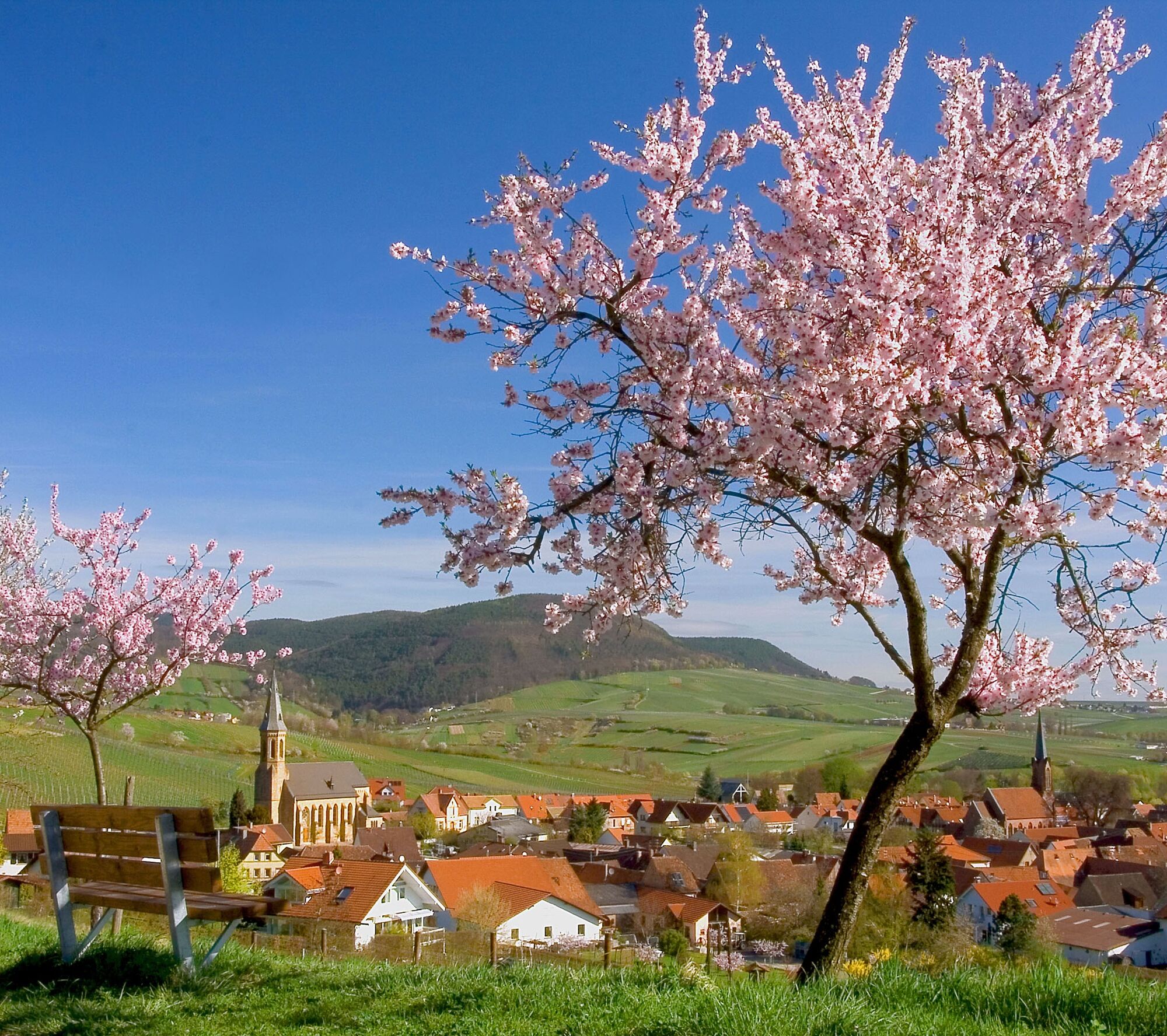
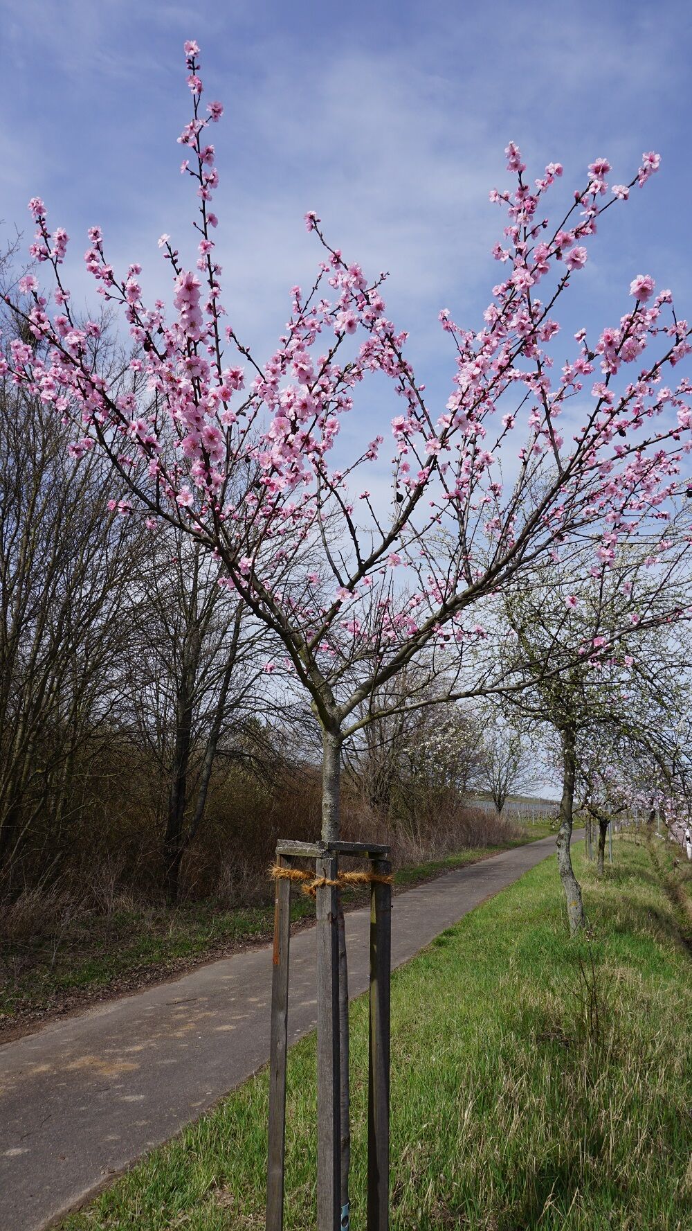
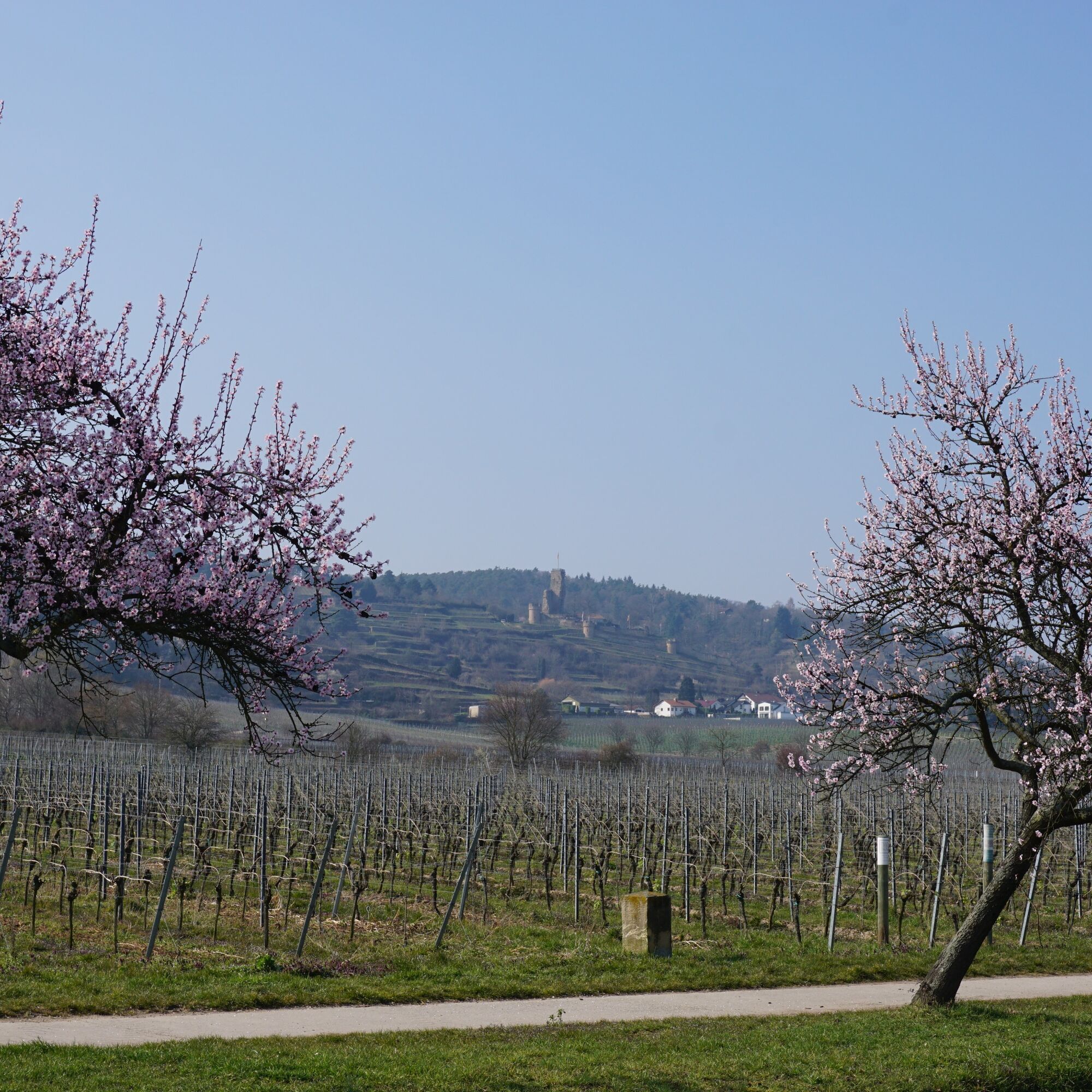
While winter grey still prevails elsewhere, pink blossom clouds are already pushing through the Palatinate countryside. From Bockenheim down to Schweigen-Rechtenbach, the almond trees signal the start...
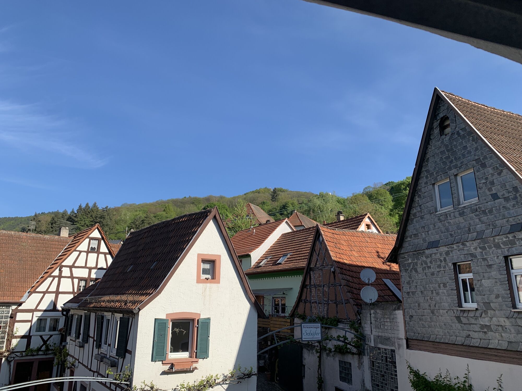
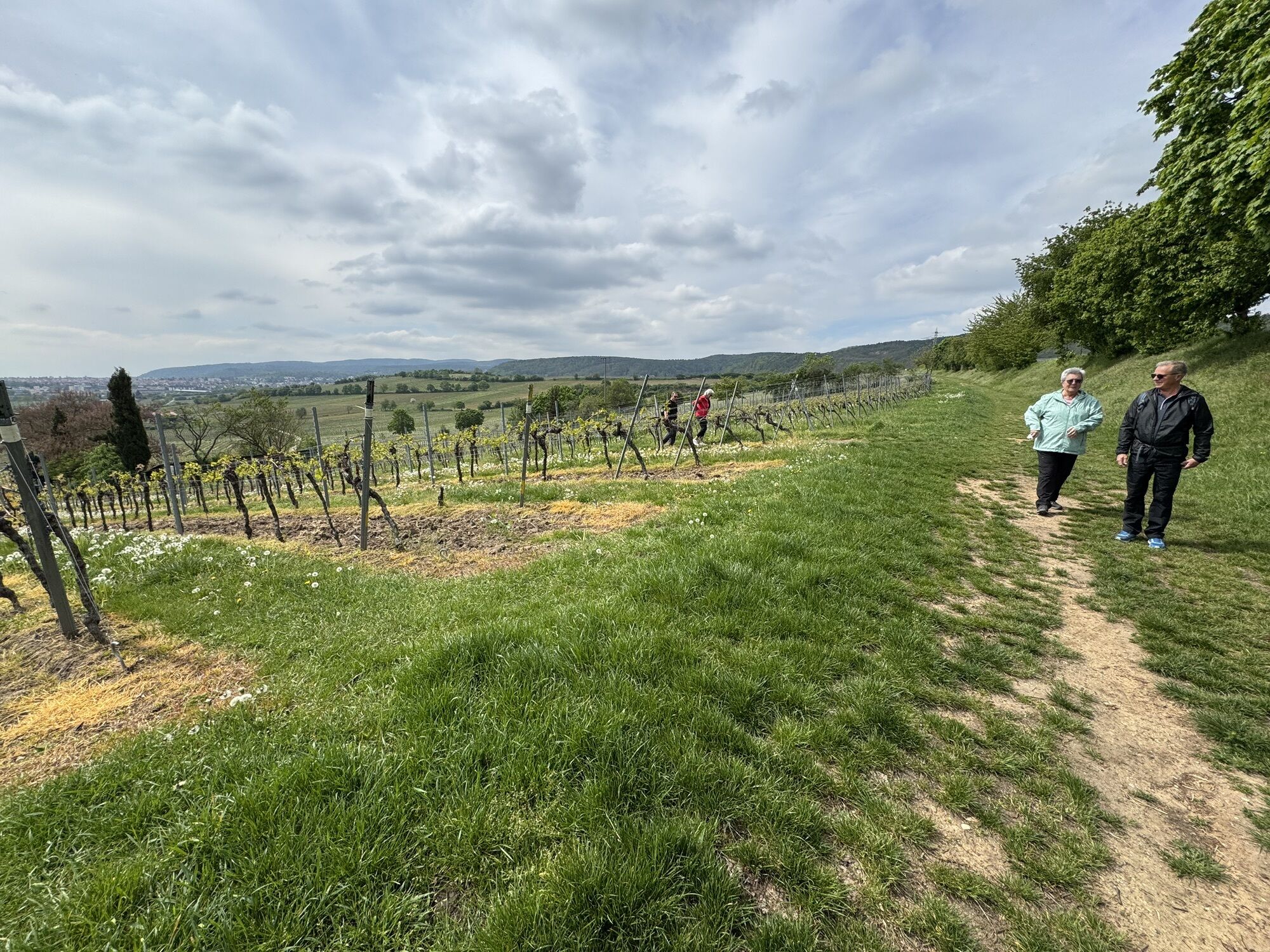
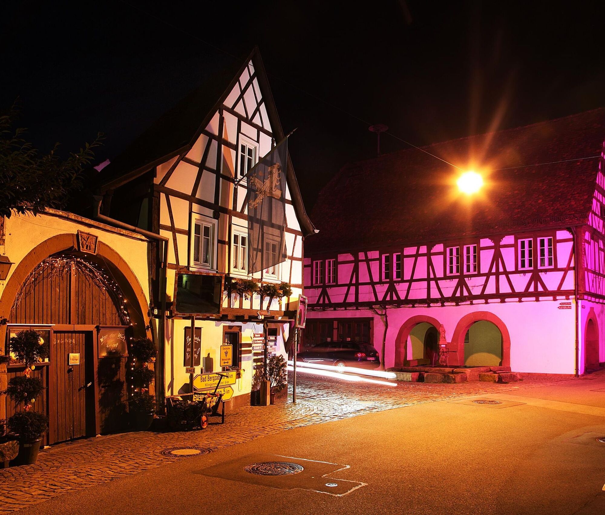
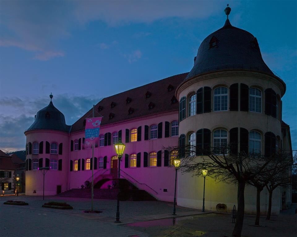
While winter grey still prevails elsewhere, pink blossom clouds are already pushing through the Palatinate countryside. From Bockenheim down to Schweigen-Rechtenbach, the almond trees signal the start of a journey into spring. The Palatinate Almond Trail leads for 100 km through white-pink almond tree avenues, tender green vineyards with pink accents, and quaint wine villages along the German Wine Route – past historic buildings and below castles and palaces that shine in pink during the Palatinate Almond Weeks. An absolute must during almond blossom time!
With its seven stages, the Palatinate Almond Trail also offers individual day routes that are easily reachable by public transport and can largely be explored by bicycle.
The Almond Trail passes directly by the most beautiful almond trees. Anyone who prefers to enjoy the sea of blossoms from above away from the roads is on the right path on the Deutsche Weinstraße hiking path.


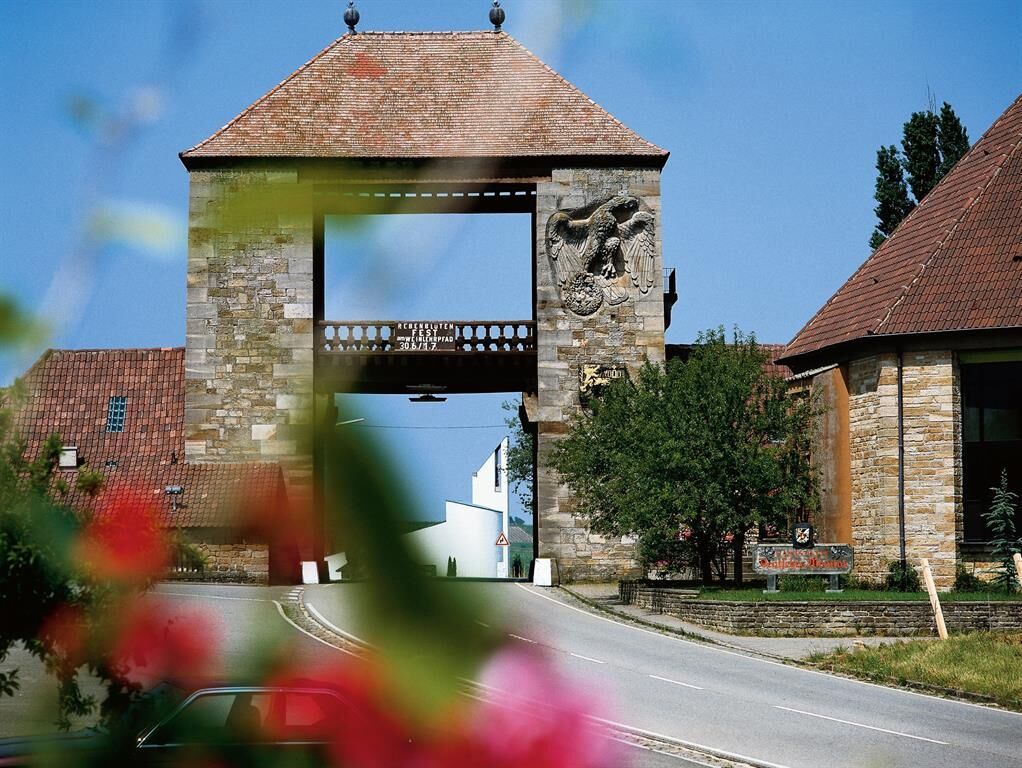
The Palatinate Almond Trail starts at the northern entrance of Bockenheim and initially runs along the Wine Route past the Merovingian royal estate and the tourist information center in the House of the German Wine Route. Then the path turns right off the Wine Route and winds through the local community via Bugo, Burgundy, and Roman Streets. The street Oberer Graben passes by the Catholic St. Lambert Church with the so-called "Grape Madonna" (a short detour is worthwhile here) and the medieval, now Protestant Lambert Church behind it.
Returning to the Wine Route via Anemone and Ballheimer Way, the path follows the cycling route Deutsche Weinstraße through the vineyards of the large vineyard area "Grafenstück" and a pink almond tree avenue parallel to the B271, then along the Wine Route to Grünstadt-Asselheim. Up and down it goes in the Grünstadt district of Asselheim, known for its long winegrowing tradition. The trail turns right along the Holzweg to Eistalstraße. After a stretch along the Eisbach stream, the trail meets the hiking path Deutsche Weinstraße and then leads up to the Grünstadt hill.
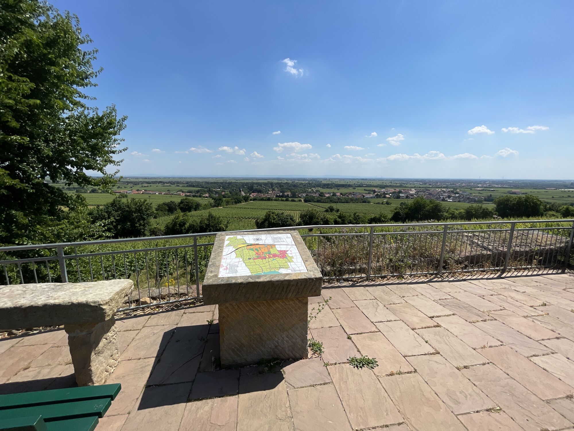
West of Grünstadt's town center, the path winds over an orchard meadow to Sophienruh and then into the seemingly endless sea of vines of the Grünstadt hill through the large vineyard area "Höllenpfad." The panoramic view invites a 360-degree view over the Rhine plain – on clear days, the Odenwald can even be seen here. Framed by vineyards, the trail crosses over the A6 motorway and descends past the soccer field and the elementary school into the winegrowing district Grünstadt-Sausenheim. Following Bärenbrunnenstraße, it goes through the village to Leiningerstraße and past the corrugated cardboard factory out of the town again. From Sausenheim, crossing L517, the path goes below Neuleiningen Castle through picturesque vineyards to Kleinkarlbach. After crossing the Eckbach stream, a detour through the quaint village of mills and fountains is worthwhile. Back on the path, the trail follows the main street further out of town, passing Kleinkarlbach cemetery.
The route follows a roadside cycle and hiking path parallel to L717 below Battenberg and the eponymous castle for over 2 km straight to Bobenheim am Berg, through the village past the Catholic church, continuing to Weisenheim am Berg. At the Weisenheim entrance, Bobenheimer Straße leads into the village. Then it goes left onto the main street and across the village square directly through the village with its many places to stop and eat. At the village exit, the bypass road is crossed, and the path follows L522/Herxheimer Straße for about 1 km. The trail turns left, passing through the vineyard area "Mandelgarten" for a bit, then bends to Herxheim am Berg. In the village, a detour to the castle garden next to St. Jakob's Church is worthwhile. From there, there is a wonderful view of the Rhine plain up to the Odenwald and the first almond plantation in Germany in the neighboring town of Freinsheim with over 1,000 almond trees.
Along the Wine Route, the Almond Trail leads to the southern village exit of Herxheim and further up a hill offset to the right below the winemakers' cooperative, then descends again in a tight curve past the Herxheim karst cave. Passing the valley entrance to the Berntal/Felsenberg nature reserve, the path runs alongside old and new almond tree plantings parallel to the Wine Route towards Kallstadt. It enters the village on the Wine Route. In front of the church in the village center is the Kallstadt i-point, the tourist information office at the Square of 100 Wines, the central festival and parking area. The Almond Trail now turns right slightly uphill into Leistadter Straße and at the village exit left into Backhausgasse. After about 200 m, the path turns right into the well-known Kallstadt wine area "Saumagen," then after another 100 m left towards the south, past the small Kallstadt lake and immediately left and right again. The Almond Trail continues slightly uphill further south, offering a view from the hilltop of Bad Dürkheim.
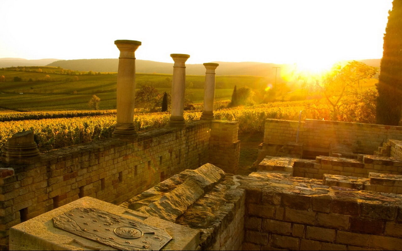
After a few meters, the Roman Villa at Weilberg is reached. From the villa, it goes west past the Roman press house and then past three small viewpoints with benches and the old place of execution to the south. A highlight along the way is a more than 100-meter-long vineyard wall crowned by some veteran almond trees. To the south, the path goes over the Michael’s chapel on the shortest way into the town. Arriving at the Wine Route, the Wurstmarkt square lies opposite, where the largest wine festival in the world – the Wurstmarkt – is held annually in September. Over the square with the graduation tower to the left and the giant barrel to the right, the path crosses Schlossgartenstraße and through Bad Dürkheim spa park. Passing St. Ludwig Church, the Almond Trail leaves the park via Kurgartenstraße and leads over Römerplatz to the town square, then turns left along Weinstraße Süd, Seebacher-, and Schenkenböhlstraße out of town.
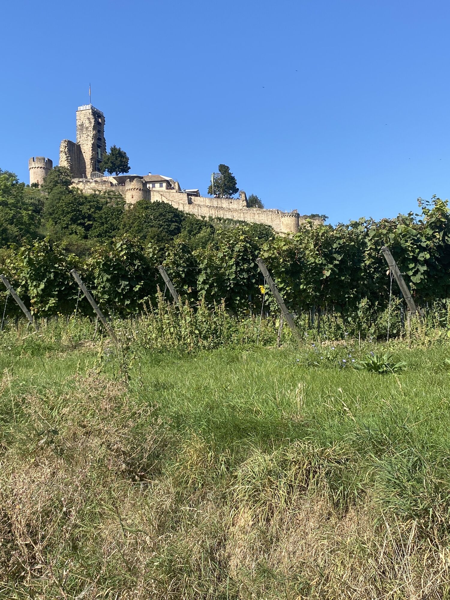
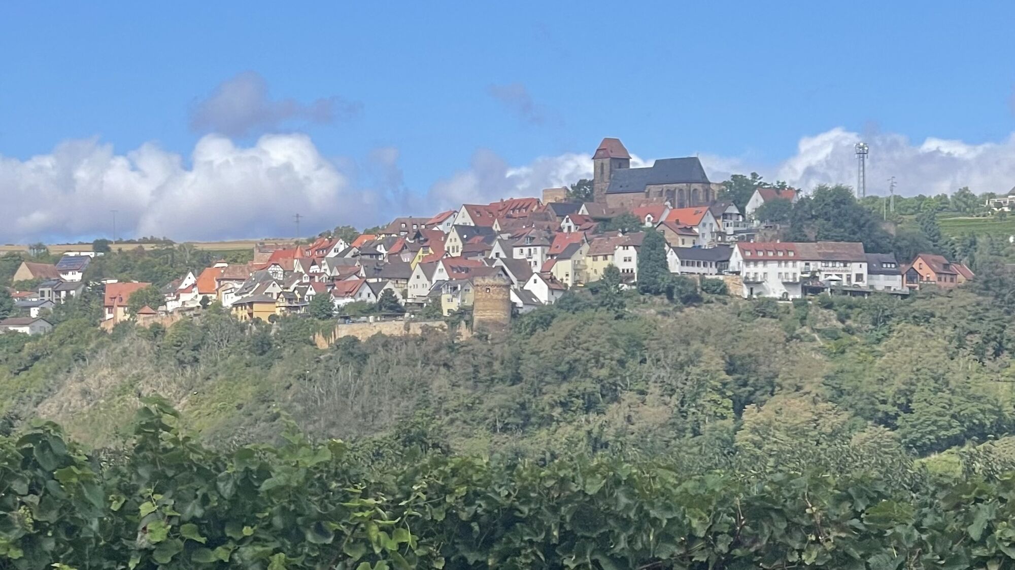
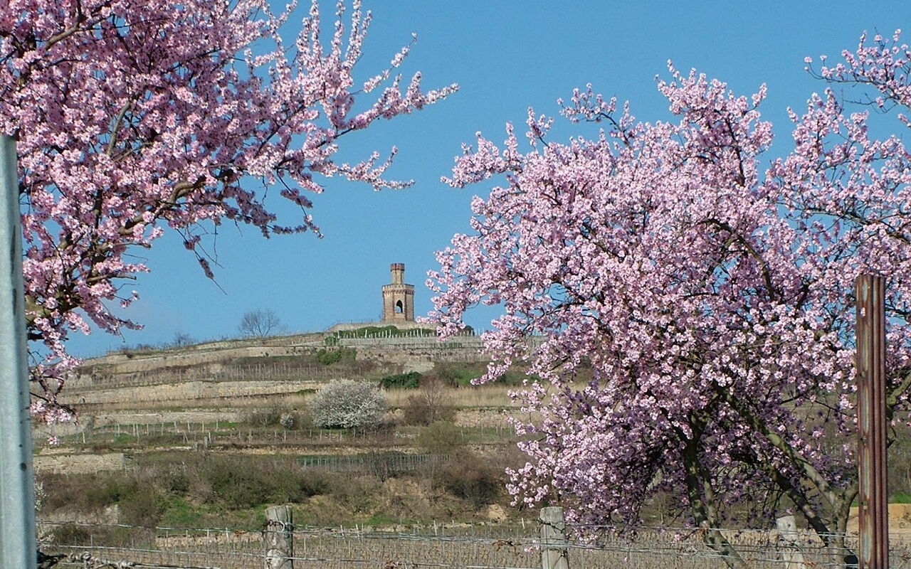
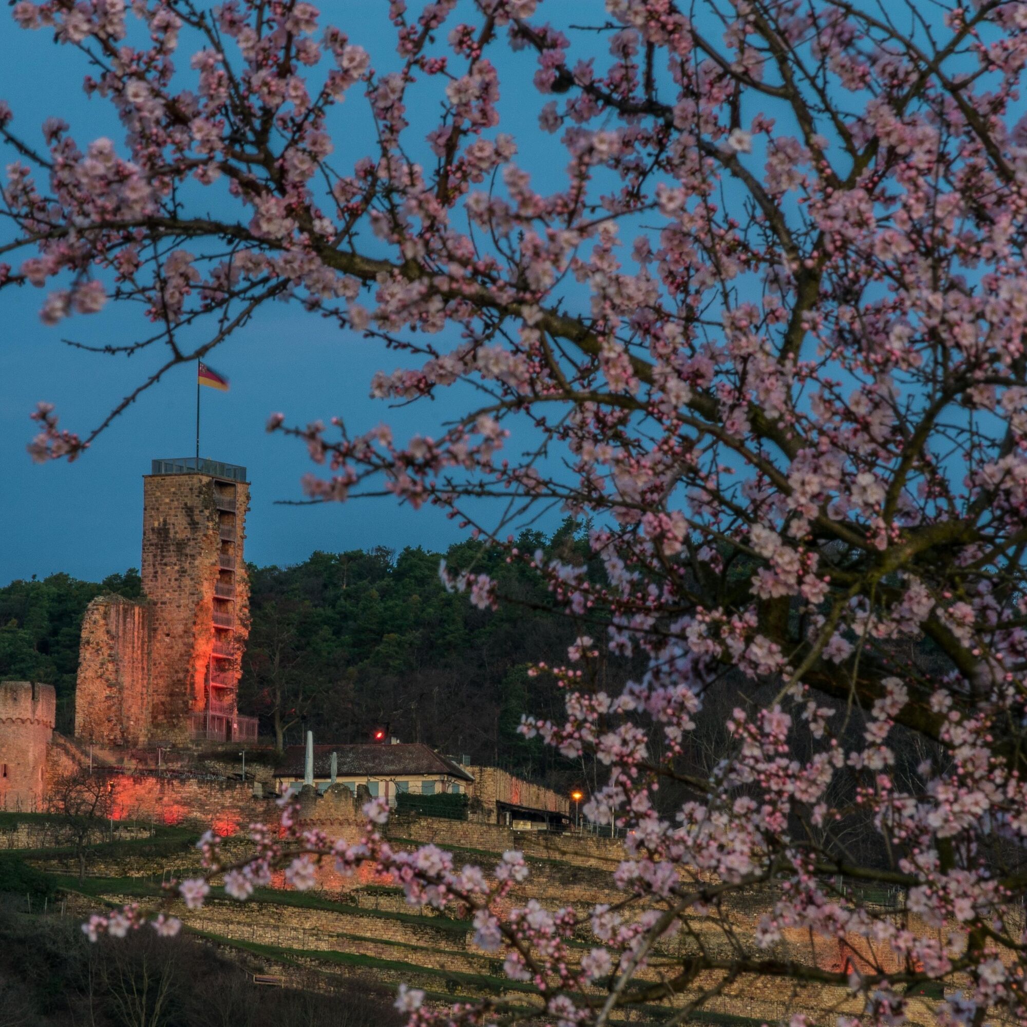
Just behind the last houses, a detour right to the Flag Tower is recommended. From there, you have a wonderful panoramic view over vineyard terraces, the Rhine plain, and the Palatinate Forest with Limburg monastery ruins and Bismarck tower. Returning to the Almond Trail, the path continues south into the wine area "Schenkenböhl." Before the parking lot/Wine Route window, the Almond Trail turns right and then zigzags to the edge of the Palatinate Forest and then turns left into Wachenheim. Via Mühlwiesenstraße, Bornweg, and Raingasse, the trail makes a detour to the old city wall. Following south a bit and then right through a small alley, it leads onto Gartenweg. Take a breath; now the path leads diagonally opposite through Sudentenstraße and Schlossgasse up to Wachtenburg Castle. In the castle tavern, you can refresh yourself, and in the castle museum, discover the castle model and many small inconspicuous exhibits conveying impressions of life in earlier times. From there, the path goes a bit above the roofs of Wachenheim towards the south, then down steps into the Odinstal and further to the stele "Most beautiful wine view in the Palatinate 2016." Turn around again and enjoy the award-winning view of Wachtenburg, before a few meters back to the town, then immediately right along the edge of the forest towards Deidesheim.
The church tower of St. Margareta in Forst already greets from afar, a baroque church building from 1723. The noble wine town is nestled in the best Riesling vineyard areas of the German Wine Route. The Almond Trail now also leads through one of these famous Forst large vineyard areas: the "Mariengarten," easily recognizable by the Madonna statue protecting it. A few meters further is the biotope "Am Kirchenberg," a roughly 12-hectare area above Deidesheim, where the cultivated cultural landscape with vineyard terraces and orchards has been secured for the future. Along the way, there are always beautiful views down to the Rhine plain and the sea of vines but also to the Michael’s chapel peeking out from the Palatinate Forest. The Almond Trail continues over Moosbach. Here, a short detour down into the wine town Deidesheim is worthwhile. The sights invite a stop; wineries and gastronomy offer something for every taste.
The Almond Trail turns right over the Sensental hiking car park and immediately left around it. It continues right along the forest edge above the vineyard area "Paradiesgarten." Slightly below stands another statue: Eve, who after her expulsion from the Garden of Eden found her new paradise here. Always further along the forest edge, the path goes over the Mühltal hiking car park, past the forest tavern Pfalzblick, a small stretch through the forest, and then into the Neustadt wine village Königsbach. Through the town, it goes via Erika-Köth and Franz-Kugler streets, into Hirschhornring, right onto Erlenbergstraße, right again onto Neubergstraße, and to the König-Ludwig pavilion at the edge of town, where King Ludwig I is said to have proclaimed, "The garden of Germany, the blooming Palatinate!"
Along a wonderful almond tree avenue, the path descends into the wine village Neustadt-Gimmeldingen, where the earliest wine festival of the year in the Palatinate has been celebrated for decades: the Almond Blossom Festival. Past the cemetery, the Almond Trail leads to Meerspinnstraße. Those who not only want to admire the blossoms but also learn something about different almond varieties should plan a short stop at the almond educational trail here. It continues through Meerspinnstraße, then right into Haberackerstraße, and from here left into Peter-Koch-Straße. The Almond Trail crosses a small green area here and leads zigzagging past the Meerspinnhalle and elementary school, through another green area back onto Peter-Koch-Straße, which leads left out of Gimmeldingen. A short stretch then runs along an almond tree avenue that is crossed and then a short stretch back. Back at the town edge, the Almond Trail follows the edge and then turns left below the residential area through the vineyards of the vineyard area "Herzog" towards Neustadt-Haardt. Through the village, it goes along Am Herzel and Lettenweg streets and out into the vineyards and between the vineyard areas "Herzog" and "Herrenletten," over Probstgasse and past the cemetery to Aspenweg in Neustadt.
Diagonally opposite leads a narrow path with stairs to Sulzwiesenweg. Then left to Villenstraße. Here you meet Villa Böhm, worth a visit with its changing art exhibitions. The Almond Trail leads down Villenstraße to Strohmarkt. On the opposite side, it goes into the pedestrian zone. This leads past the historic marketplace and the collegiate church – a detour is worthwhile – and further through the picturesque shopping street to the intersection with Tal- and Landauer Straße. A short stretch toward the station and then right over the railway tracks via the so-called Zwockelsbrück. The Hambach stairway leads up into Maxburgstraße. Following Maxburgstraße, the path meets an intersection and turns right onto the Wine Route. After about 400 m, the Almond Trail leaves the Wine Route and turns left into Diedesfelder Weg, which leads out into Neustadt vineyards. This path goes past the edge of Neustadt-Hambach, the Hambach cemetery, and outdoor pool, crosses Mittelhambacher Straße, and then parallel to the Wine Route to Neustadt-Diedesfeld, the center of the German Wine Route.
Follow the Wine Route to the village center and then right at the Diedesfeld festival hall onto Zum Klausental. After the last Diedesfeld houses are passed, the Almond Trail turns left and leads to the village edge of Maikammer-Alsterweiler. Shortly before the vineyard village begins, the path turns right. It continues zigzagging through the large vineyard area "Mandelhöhe." The name recalls the field name "in den Mandeläckern" already mentioned in the 16th century. Back then, the Bishop of Speyer promoted almond cultivation as an important fruit and had whole fields planted.
The path passes the "Flurkreuz im unteren Grund" and the "Bildstock im Kalkofen," over a green strip between the vines onto the Deutsche Weinstraße hiking path, past a wonderful picnic spot with fantastic views, to Kalmithöhenstraße, which here is lined with pink almond trees. Cross these, past the Alsterbrunnen and over the Alsterweilerbach. Now it goes downhill with a beautiful view over the vineyards to Maikammer and into the Upper Rhine Graben through the vineyards, between the wine towns Maikammer and St. Martin. Along this section, white-flowering almond trees can also be admired. It passes a group of pink-flowering almond trees to the "Fünf Wunden Kreuz" and over Sankt-Martiner-Straße on Zehnmorgenweg to Kropsbach. Here the Almond Trail turns right and follows the stream for about 100 m to reach the bridge and cross the stream. Then it goes straight uphill along Dalbergweg through the vineyards. At Überfeldweg (tree with bench), the path turns left. A short glance back reveals the view of Hambach Castle. To the west, Kropsburg is visible. The path continues east. After about 500 m, it turns left and then immediately right again at the next opportunity. Straight ahead, the path leads down Heiligenberg. On the field path running parallel to L512/Wine Route, the Almond Trail passes the cemetery and along Friedhofstraße to Edenkoben.
A stretch along Sankt-Martiner-Straße to the Wine Route and straight on to the town center, past the Museum of Viticulture and Local History and a traffic light downhill into the city center and past Kurpfalzsaal. At Schafsplatz, the Almond Trail follows the Wine Route to the right, then after the savings bank left and leaves the Wine Route right into Poststraße. The street passes the tourism office Edenkoben and meets Landauer Weg. It continues on Landauer Weg left and shortly after in the roundabout right onto a farm track beside Villastraße, the venue of the Edenkobener Mandelmeile, towards Villa Ludwigshöhe. Now it's time to stroll under almond trees with a view of the villa, which King Ludwig I had built in the 19th century as his summer residence. Today, the villa houses a permanent exhibition of the impressionist Max Slevogt plus changing special exhibitions.
After about 1.5 km, the Almond Trail leaves Villastraße and turns left towards Rhodt unter Rietburg and meets the well-known Theresienstraße in town, which the path follows right uphill to the forest edge, with a magnificent view back to Schloss Villa Ludwigshöhe and the vineyards of the Southern Wine Route. After the hotel Alte Rebschule, the path turns left and goes through an orchard with organic cultivation. These trees were planted as part of an action for the sustainability of the attractive landscape. Special attention was paid to maintaining an unobstructed view of the Rhine plain – it’s worth turning around to enjoy the view! At the end of the orchard, the path goes left to Oberdorfstraße and with it into the wine village Weyher. Continuing over Oberdorf- and Josef-Meyer-Straße through the village center and past the historic town hall, the Almond Trail leads left by Weingut Seiler back into nature. It continues as a ridge trail with a beautiful panoramic view to the south. After about 600 m, the path turns left and descends slightly westward. Through the vineyards, it takes a short detour to the north, then straight towards Mittelmühle on Modenbach. Before the mill, the path turns left down to Hainfeld, the baroque wine village. There the Almond Trail continues right along the southwestern village edge over Am Hofstück, Karl-Stein-Straße, and Kastanienberg, past the Kastanienberg winery and further to the German Wine Route.
Turning right, it goes on a farm track parallel to the German Wine Route lined with almond trees to the village edge of the wine and pilgrimage village Burrweiler. At Weingut Messmer at the intersection, the Almond Trail follows the Wine Route right slightly uphill toward the village center, past the Catholic church. Wine Route and Almond Trail turn left and lead out of town, past the cemetery into Gleisweiler. At the village entrance, the Almond Trail leaves the Wine Route and follows Haupt- and Badstraße past the Paper Museum/Zehnthof to the Bad Gleisweiler sanatorium. Here, a short tour through the subtropical park is worthwhile. The Almond Trail continues along the forest edge on Lindenallee by the paper mill a small way into the Hainbach valley (those wanting a detour to the forest shower can follow the path along Hainbach stream further into the forest), crosses Hainbach, then immediately back out and over Steigerter Hof street into Frankweiler. Turning left onto Frankenburgstraße, it descends again through vineyards to the Wine Route, which passes the cemetery and leads back into town. The Almond Trail turns left into Steinstraße and shortly after right into Müllergasse. At the end of the lane, right onto Dorfbornstraße and at the fork left, the Almond Trail meets the Wine Route again, crosses it, and follows opposite Trifelsstraße out of town.
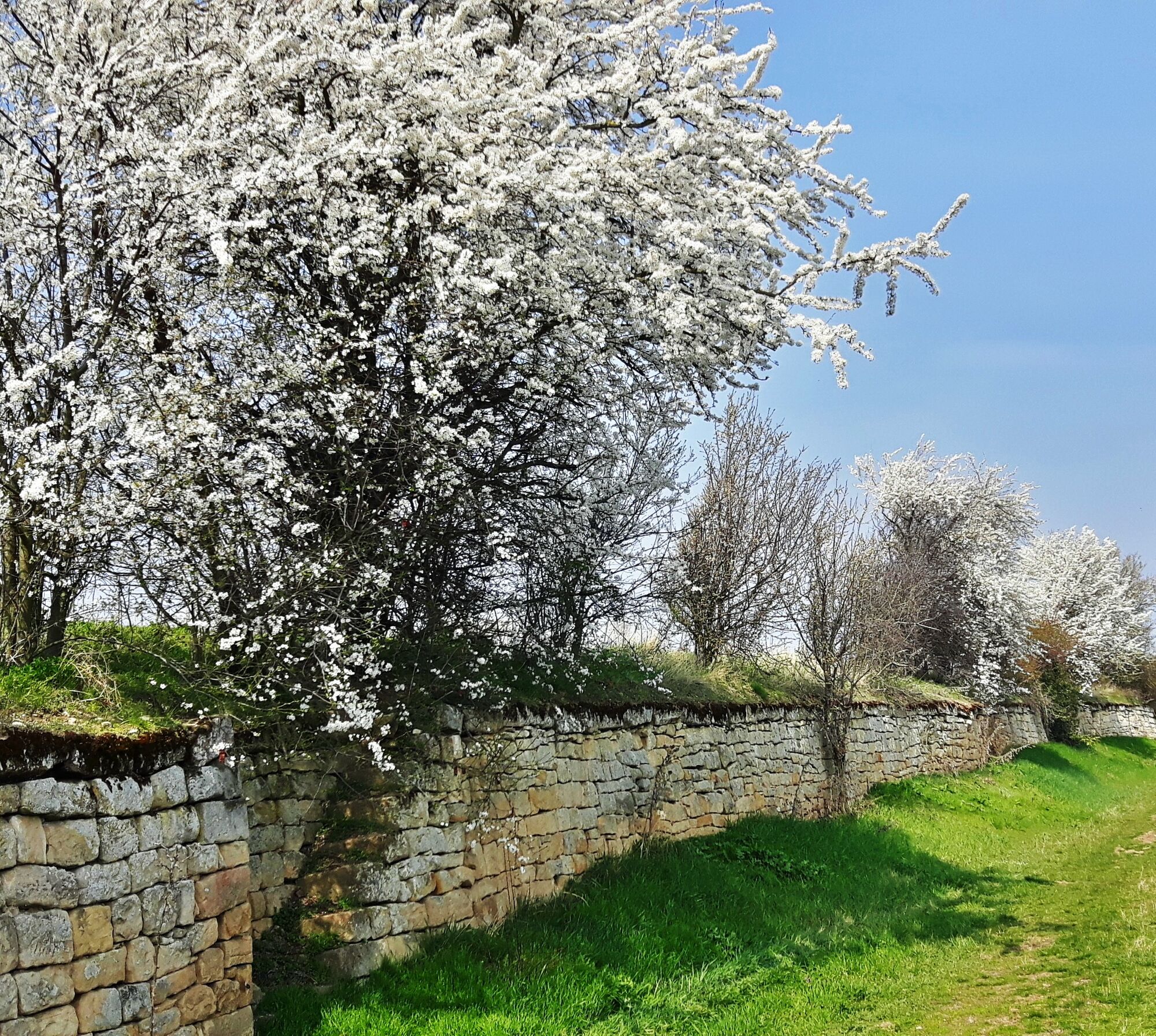
The Almond Trail briefly leaves the road, crosses it, and goes again through vineyards to the Wine Route, but turns immediately right again. From here, there is a beautiful view of almond trees and over to Geilweilerhof, the JKI - Institute for Grape Breeding. The path then turns left toward Geilweilerhof, formerly a manor owned by the Cistercian Monastery Eußerthal. When the wine sales are open, you can also take a look behind the walls at the characteristic tower and well-kept outdoor area. Moreover, one should take the opportunity to try wines of JKI's new breeds – these are only available here (until approval)! Over the parking lot, the Almond Trail runs through an almond tree avenue with views of the forest edge and Queich valley downhill. But also looking back is worthwhile to enjoy the almond blossoms with Geilweilerhof in the background. The path continues downhill and meets the cemetery on the village edge of Siebeldingen. Turning left and crossing Dagobertstraße, the Almond Trail meets the Wine Route again. Following the Wine Route right, the path runs through the village past the simultaneum church with its twisted tower helmet and the town hall, and over the Queich river. The Almond Trail turns left into Heerstraße, crosses the railway tracks, and runs then parallel to the tracks and Kolchenbach stream toward Birkweiler. It continues left on the Wine Route into Birkweiler. Turning right onto the main street leads out of town and past the Birkweiler hiking car park. A stretch along the forest edge continues with views of the famous vineyard "Kastanienbusch." The Palatinate Almond Trail turns left into the forest and reconnects with the forest edge above the Palatinate Almond Grove. From here, there is a wide view over the almond grove with over 100 almond trees, the vineyard "Mandelberg," the small wine village Birkweiler and the sea of vines of the Southern Wine Route. Between the two planting areas on a natural path and then over a farm track, it goes downhill to the cemetery of the blessed village Ranschbach.
Turning right, the path goes down street Zum Seligmacher to the Wine Route and follows it right past the church Mariä Heimsuchung, once through the wine village, and from the village edge on a parallel farm track further to Leinsweiler. Here too, the path continues on the Wine Route, which runs through the small village and the village center past the historic town hall. At the village edge, the Almond Trail changes again to a farm track parallel to the Wine Route and turns right here at the Hotel Leinsweiler Hof into the vineyards. After about 300 m, the Almond Trail meets the Deutsche Weinstraße hiking path and follows it, turning left straight toward Eschbach. Past the cemetery, it goes along Kirchgasse into the village. At St. Ludwig Church, the Almond Trail meets the Wine Route again, turns left onto it, then right on Im Gässl street, at the end of which a narrow path leads to Landauer Straße. Then continues diagonally opposite to Windhorststraße and again out of the "Eseldorf." After crossing L509, the Almond Trail turns right onto a farm track, which follows L509 or L508/Wine Route below Madenburg to Klingenmünster.
At the hilltop by the Palatinate clinic, it crosses a pedestrian bridge with a magnificent view back to Slevogthof and forward to Klingenmünster with the Benedictine monastery over the Wine Route. Over the small parking lot and the clinic grounds, the Almond Trail climbs to the forest edge. Left it continues to Johanna spring and at the fork again left, then counter-clockwise around the Romanesque Nikolaus chapel, originally part of Klingenmünster monastery. Over Alte Straße, the path runs down to Klingenmünster to the Wine Route. The Almond Trail continues on the Wine Route into the town and then turns right at the August Becker Museum onto Steinstraße and after only 100 m left onto a path, which goes past a playground and Klingbach stream to Klingbachhalle. Here it turns left along Mühlgasse to a roundabout and then again left on Totenweg to the Wine Route. Following this right, the Almond Trail turns right at the village edge onto a farm track that leads through the vineyards to Gleiszellen. Over Winzergasse and Dionysiusstraße, it goes through the small village and up to the Dionysius chapel perched on a vineyard hill. This is definitely worth a visit – the ceiling fresco of the "Martyrdom of St. Dionysius" is unique in the South Palatinate. Past a small cemetery, it goes down to the district Gleishorbach and left over Lettengasse onto the main street to the Wine Route. Following the Wine Route right, the Almond Trail continues again on a farm track along the Wine Route to Pleisweiler.
Turning right again onto the Wine Route, it passes the butcher's shop, the town hall, and the Protestant church, then left on Am Geisberg and past the sports field. Right Schäfergasse leads to the Catholic church. Back on the Wine Route, it turns left and follows the sidewalk to Bad Bergzabern, past Emilienruhe and straight over the roundabout. Right on Königsberger and Danziger streets and past the clinic, the Almond Trail leads out of town on Liebfrauenbergweg and at the next opportunity turns left past Weingut Hitziger back in. Over Daniel-Pistor- and Zeppelinstraße, it goes into Herzog-Wolfgang-Straße to the castle of the Dukes of Zweibrücken. Right on Königsstraße, left on Torgasse, and right again on Marktstraße, the path leads to the Wine Route and over the opposite Ludwigsplatz with St. Martin's Church. Continuing over Georg-Weber-Straße back to the Wine Route, diagonally opposite into Rötzweg, and past the guesthouse to the fountain in the spa park. At the Kneipp basin, you can really get your circulation going before the Almond Trail leaves the park towards the south, past orchards and herb gardens. At Edith-Stein-Fachklinik, it continues over Wiesenstraße and at the roundabout right into the vineyards. With the Deutsche Weinstraße cycle path, the Almond Trail passes through the vineyard area "Wonneberg," over Dörrenbach, and at Heyhof on a bridge over the Wine Route (B38). Straight ahead, the Almond Trail briefly leaves the Deutsche Weinstraße cycle path but rejoins it after the next right turn. Southwards, it continues through the vineyards along the Deutsche Weinstraße cycle path over Dierbach and before Otterbach right over Unterdorfstraße into Oberotterbach.
At Plätzl, the newly created village center, the Almond Trail crosses the Wine Route and follows the opposite Oberdorfstraße through the village. It turns left into Hummelsgasse, out of town over Otterbach, and after a small incline on Dammweg a bit right and immediately left towards the south, with a view of the winegrowers' village Schweigen-Rechtenbach. Before the village, it turns right once more, leading through the Protestant church into the Rechtenbach district. Past the church, it continues over Kirchstraße through the village, past St. Sebastian church and St. Urban square, with a view to the destination: the German Wine Gate. At the roundabout, follow the Wine Route south and it's done. The German Wine Gate symbolizes not only the southern end of the German Wine Route but also the destination of the Palatinate Almond Trail, near the French border.
We recommend for your hiking route:
- weatherproof clothing
- sturdy footwear, preferably hiking boots
- sufficient provisions for the day (food & drink)
(These are only recommendations, please check the weather conditions beforehand!)
The vineyards are partly cultivated with large machinery (harvesters, narrow-gauge tractors etc.). There are many blind spots for the vehicle driver in which hikers and other pedestrians as well as cyclists cannot be seen. Please pay attention to machine noises and behave carefully and considerately.
Directions to Bockenheim:
Coming from motorway A61:
- Take the Worms motorway junction exit
- Follow B47 towards Monsheim
- Turn left onto B271 towards Neustadt/Grünstadt/Bockenheim
At the Bockenheim entrance, the car park on the outskirts of Bockenheim is immediately on the right.
Alternative parking: in Bockenheim opposite the House of the German Wine Route
Directions to Schweigen-Rechtenbach:
From motorway A65 (north) direction:
- Take the Landau Süd exit
- Follow B38 towards Bad Bergzabern
- Continue on B38 towards Schweigen-Rechtenbach
From motorway A65 (south) direction:
- Take the Kandel Mitte exit
- Follow B427 towards Bad Bergzabern
- In Minfeld, continue straight on B427 towards L546 Freckenfeld
- Continue on L546 towards Schweigen-Rechtenbach
Directions for the individual stages can be found in the respective stage description.
The route network and departure times of bus and train can be found at www.vrn.de or phone: 01805 8764636.
The nearest stop to the tour start: Bockenheim/Kindenheim train station
The nearest stop to the tour destination: Schweigen-Rechtenbach Weintor bus stop
The recommended stops for the individual stages can be found in the respective stage description.
Bockenheim:
- small car park on the outskirts of Bockenheim
- large car park opposite the House of the German Wine Route
Schweigen-Rechtenbach:
- car park at the German Wine Gate
Car parks for the individual stages can be found in the respective stage description.
Want to know more about the Palatinate Almond Trail and the surroundings of the individual tours?
Then you can find all information about the Almond Trail, packages, and accommodations on the website: www.mandelbluete-pfalz.de as well as on the Facebook page: www.facebook.com/mandelbluete.pfalz and the Instagram channel: https://www.instagram.com/mandelbluete.pfalz/.
You can also contact the tourist information offices with questions:
Leinigerland e.V. - Tel.: 06359/8001820
Urlaubsregion Freinsheim - Tel.: 06353/989294
Tourist Information Bad Dürkheim - Tel.: 06322/935140
Tourist Information Wachenheim - Tel.: 06322/9580801
Tourist Service GmbH Deidesheim - Tel.: 06326/9677
Tourist Information Neustadt a.d. Weinstraße - Tel.: 06321/926892
Südliche Weinstraße e.V. - Tel.: 06341/940407
Südliche Weinstraße Maikammer e.V. - Tel.: 06321/952768
Tourist-Info St. Martin - Tel.: 06323/5300
Südliche Weinstraße Edenkoben e.V. - Tel.: 06323/959222
Südliche Weinstraße Landau-Land e.V. - Tel.: 06345/3531
Südliche Weinstraße Bad Bergzabern e.V. - Tel.: 06343/989660
You can find dining and supply options along the route here!
Have fun!
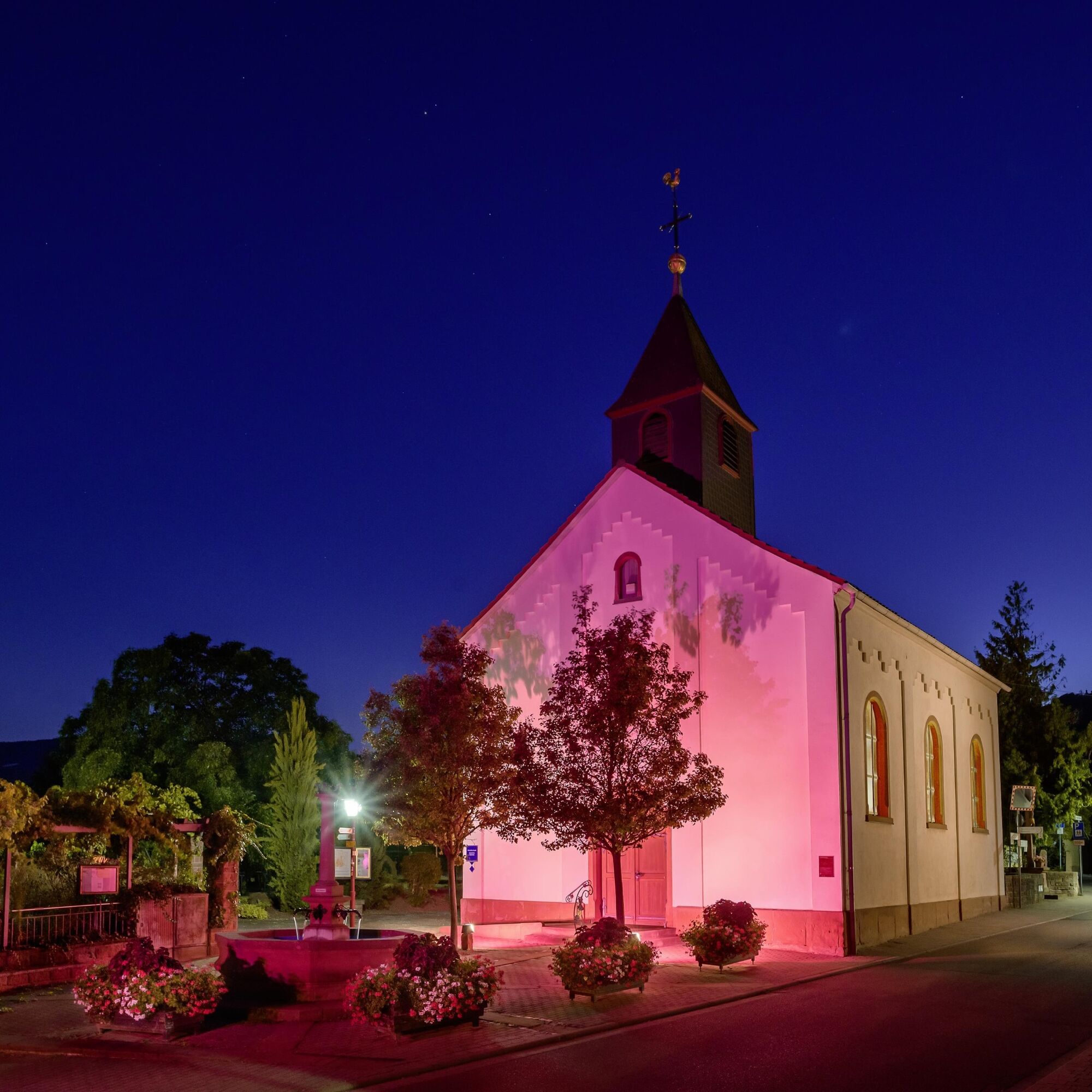
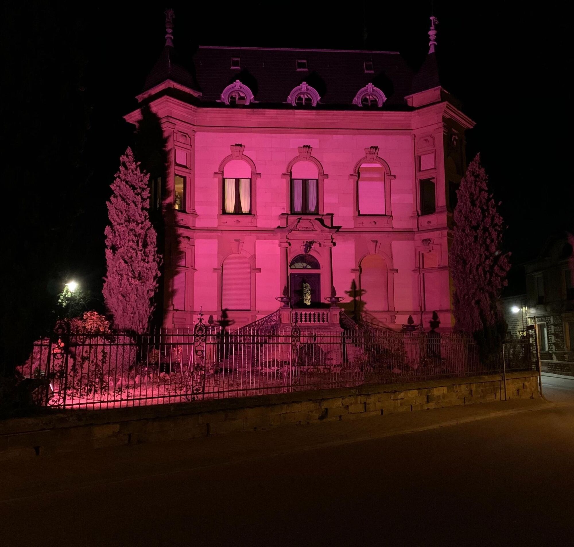
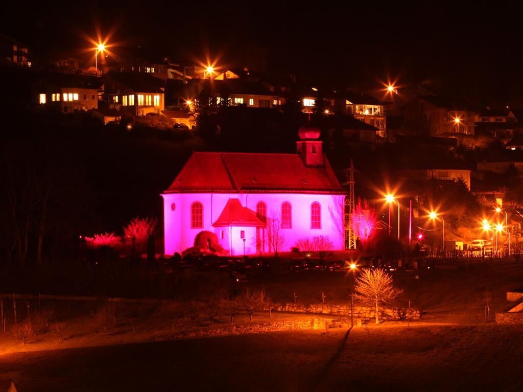
Every year, from early March to mid-April, numerous spring events take place around the almond during the "Palatinate Almond Weeks."
Popularne wycieczki w okolicy
- 4,5
From Deidesheim over the Heidenlöcher to Eckkopf
średniWędrówka 14,6 km Wachenheim - Eckkopf - Heidenlöcher - Wachenheim
średniWędrówka 12,8 km- 5,0
Wachenheimer Valleys Route to Oppauer Haus
średniWędrówka 11,7 km - 4,0
Thomas‘ Waldweinstube über die Wachtenburg
światłoWędrówka 4,81 km - 5,0
Palatinate Weinsteig Stage 08 Dernbach - Annweiler am Trifels
ciężkidługodystansowy szlak pieszy 14,4 km - 5,0
Vom Hambacher Schloss auf die Kalmit
średniWędrówka 11,3 km - 5,0
Rundtour Roth unter Riethburg
średniWędrówka 14,5 km Neustadt, Kaltenbrunner Tal, Totenkopfhütte, Hellerhütte, Königsberg, Neustadt Neustadt an der Weinstraße, Rheinland-Pfalz
światłoWędrówka 18,1 kmPalatinate Wine Steig Stage 03 Bad Dürkheim - Deidesheim
średnidługodystansowy szlak pieszy 15,2 kmPalatinate Wine Route stage 05 Neustadt a. d. Weinstraße - St. Martin
ciężkidługodystansowy szlak pieszy 19,8 km
Wędrówki i tropienie


Nie przegap ofert i inspiracji na następne wakacje
Twój adres e-mail została dodana do listy mailingowej.