






Palatinate Weinsteig Stage 08 Dernbach - Annweiler am Trifels
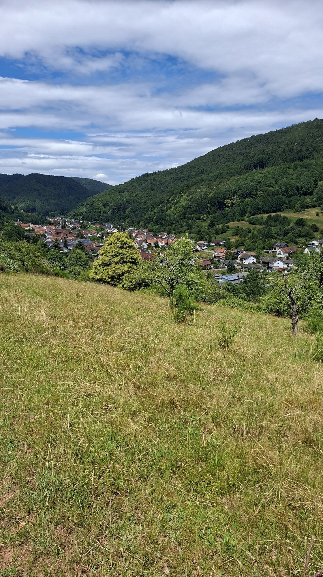
The eighth Pfälzer Weinsteig stage begins in the charming village of Dernbach, nestled among hills. From here we hike steeply uphill into the forest and reach the Eußerthal Sanatorium. Comfortable forest...
The eighth Pfälzer Weinsteig stage begins in the charming village of Dernbach, nestled among hills. From here we hike steeply uphill into the forest and reach the Eußerthal Sanatorium. Comfortable forest paths bring us to Eußerthal. Afterwards, the route continues through orchards past a stone wayside cross and back up into the forest. On the sometimes steep climb to the saddle between Grüneck and Franzosenkopf, the water from the Eselstränke quenches our thirst. As we descend to Gräfenhausen, the 3-Burgen-Blick rest area invites you to pause.
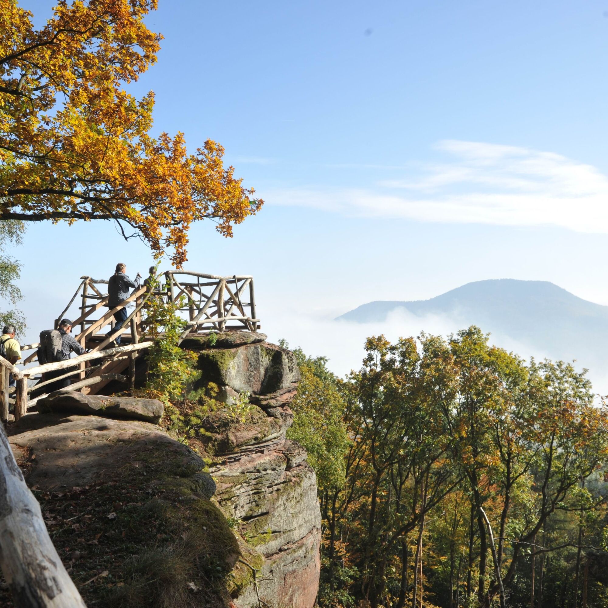
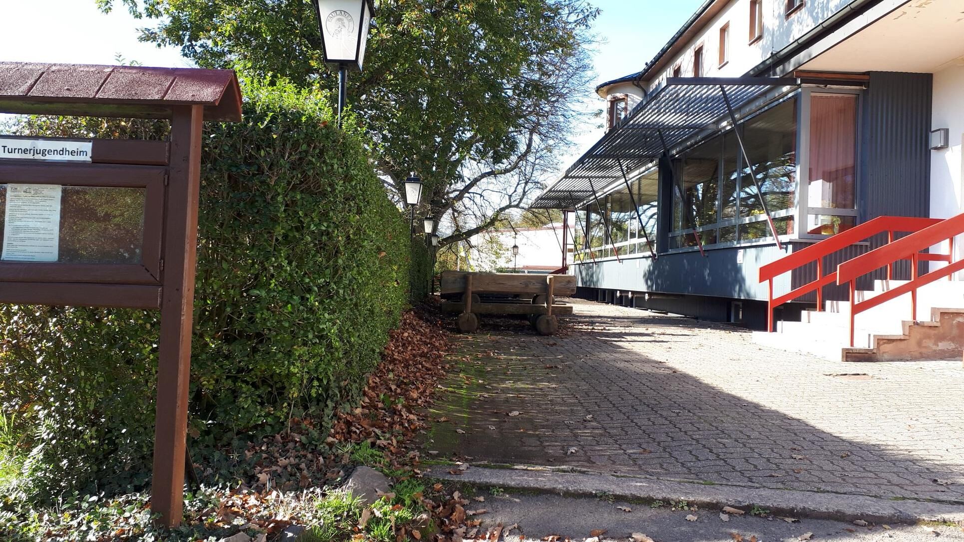
We pass through the small wine village and after a longer ascent reach the Holder spring on the northern slope of the Großer Adelsberg. From here, a short detour (approx. 500 m) to the Jungpfalz hut, which is open on weekends, is worthwhile. Finally, it’s not far to the Krappenfels viewpoint, where a beautiful view of Trifels Castle awaits us. A path leads us down to the Turnerheim and further to Annweiler.
UFFBASSE! - Campaign for a considerate coexistence in nature
Fire & smoking - Making fires, smoking, and grilling are strictly prohibited in the forest and must be avoided at all costs! Fires and thus major damage to nature and wildlife can only be prevented this way.
Be considerate on the way - Always behave considerately, kindly, and respectfully towards everyone you meet on the way.
Nature conservation - Stay on the designated paths and avoid unnecessary noise when you are in nature. Leave the forest by dusk at the latest to avoid disturbing the rhythm of nocturnal animals.
Picnic & waste - Bring a trash bag for the way and take your rubbish back home with you. Use only the furnished rest areas for breaks and picnics.
Leash dogs - Please keep your dog on a leash at all times. Other visitors and animals will thank you.
More information at: www.pfalz.de/uffbasse

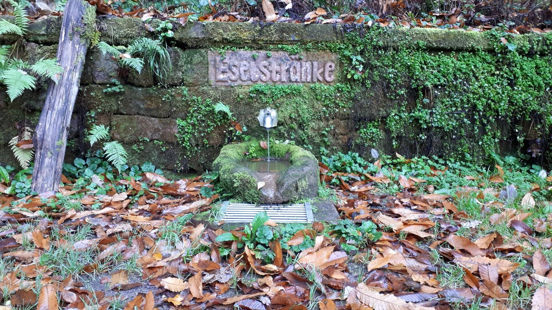
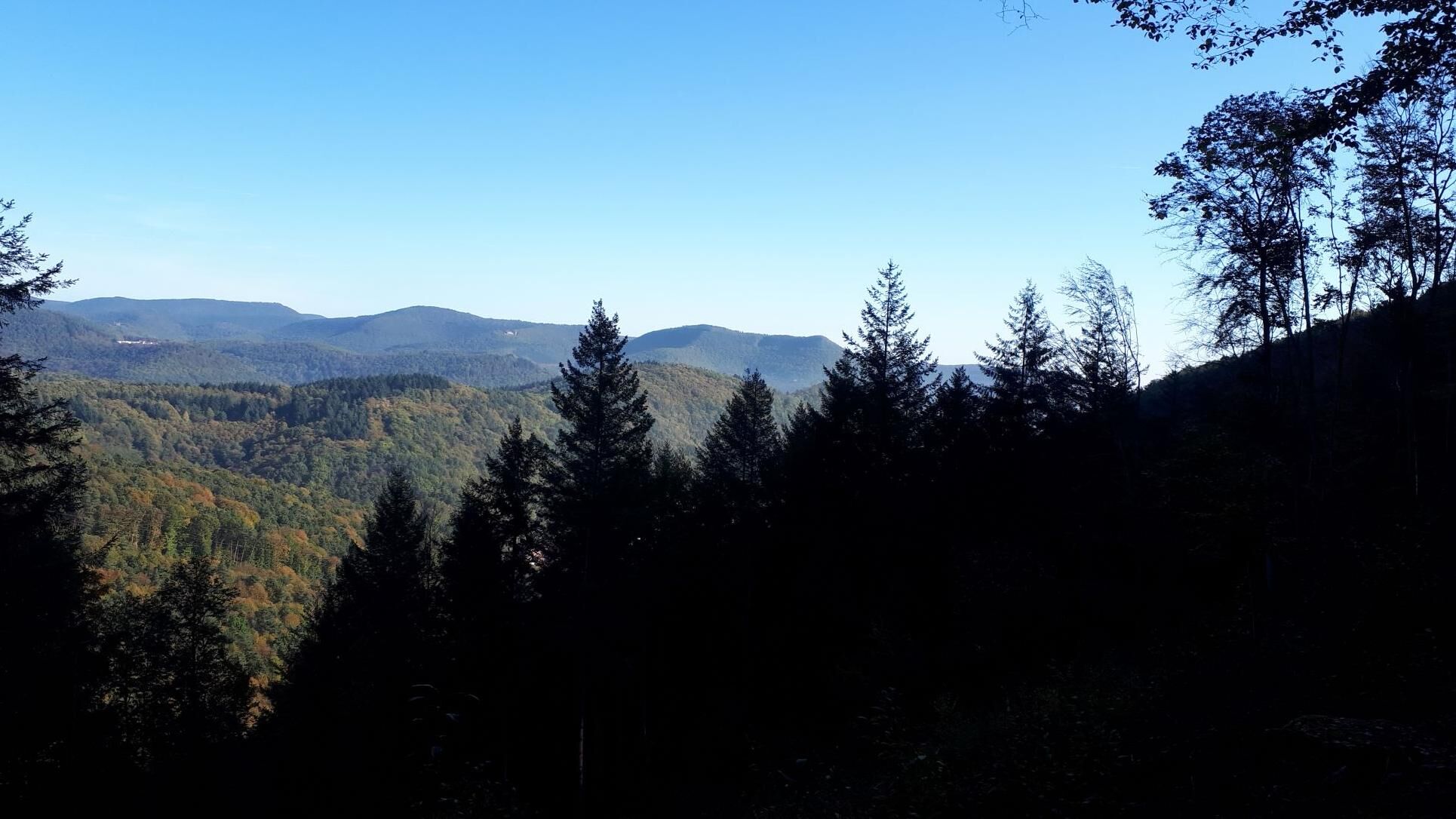
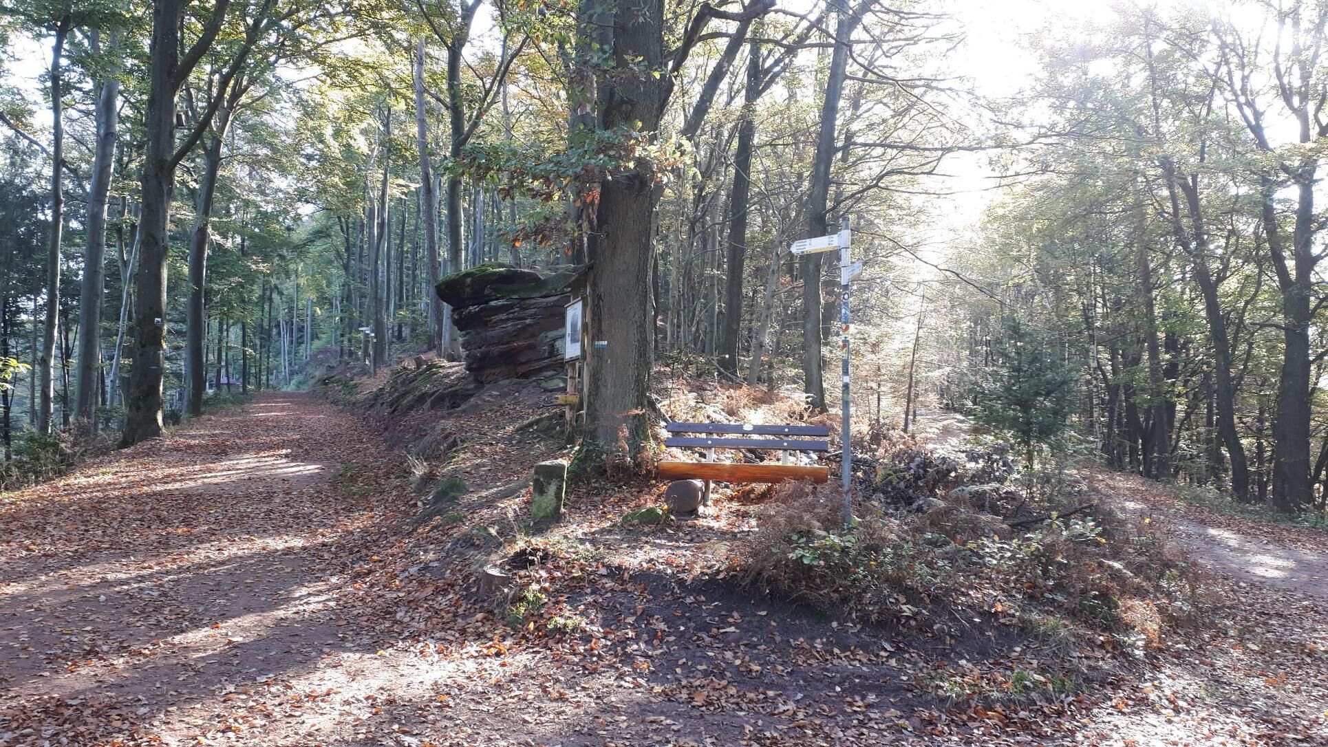
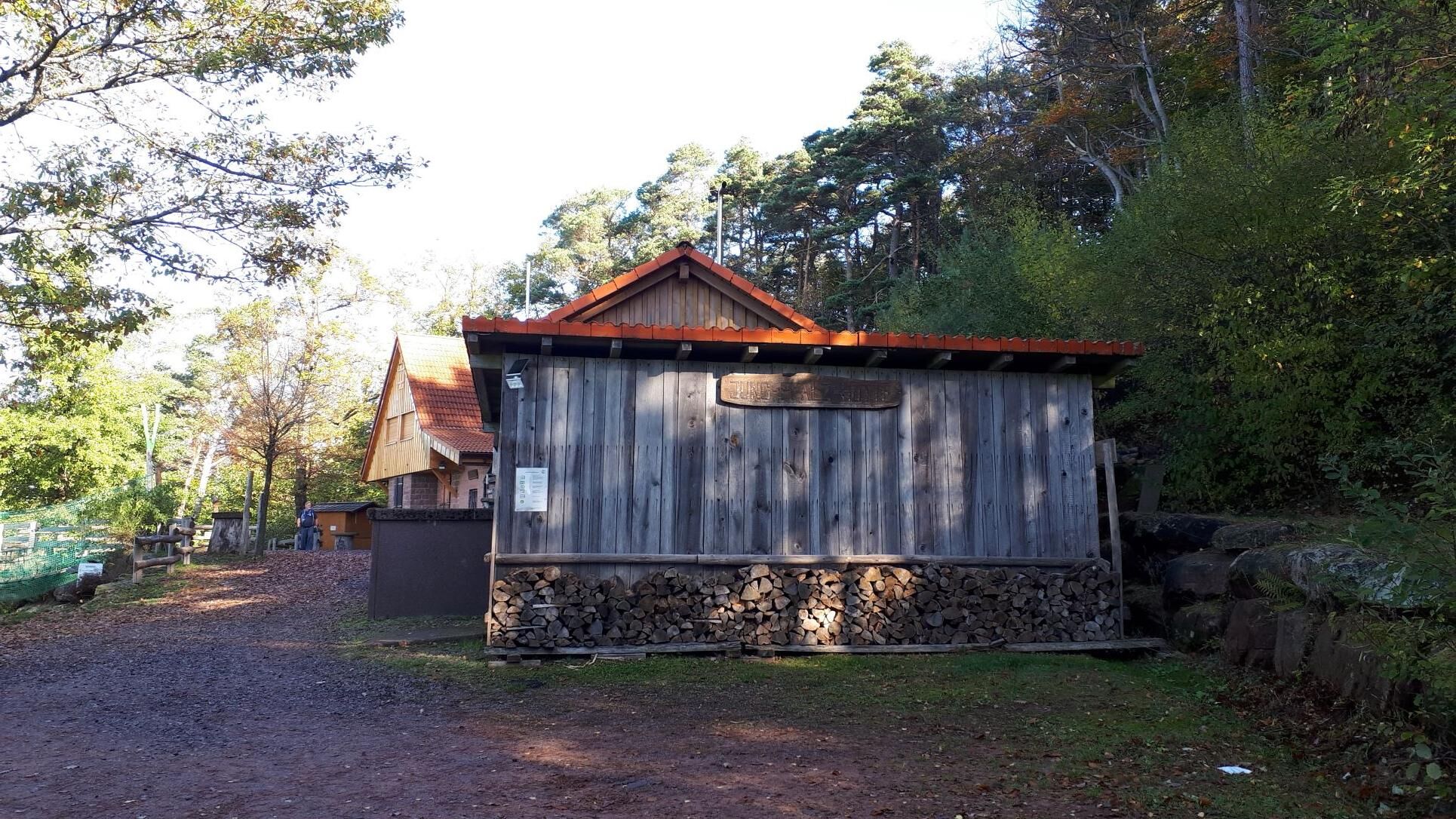
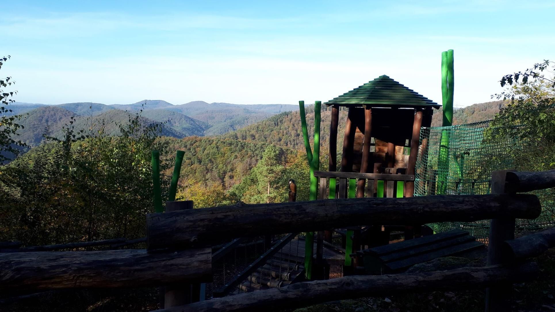
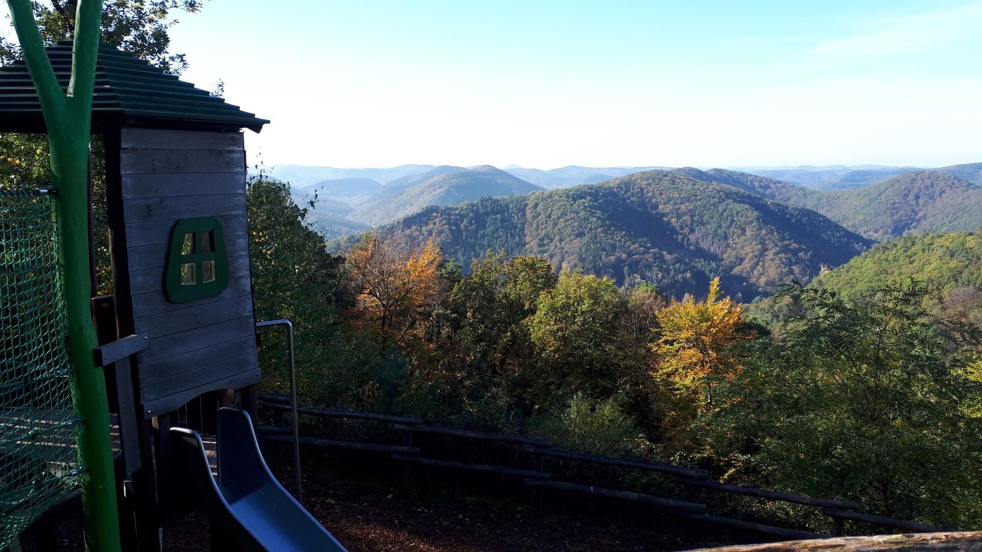
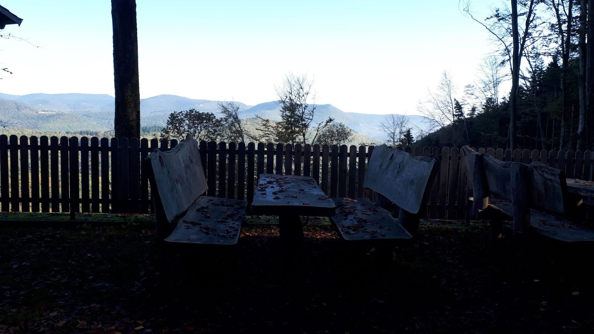
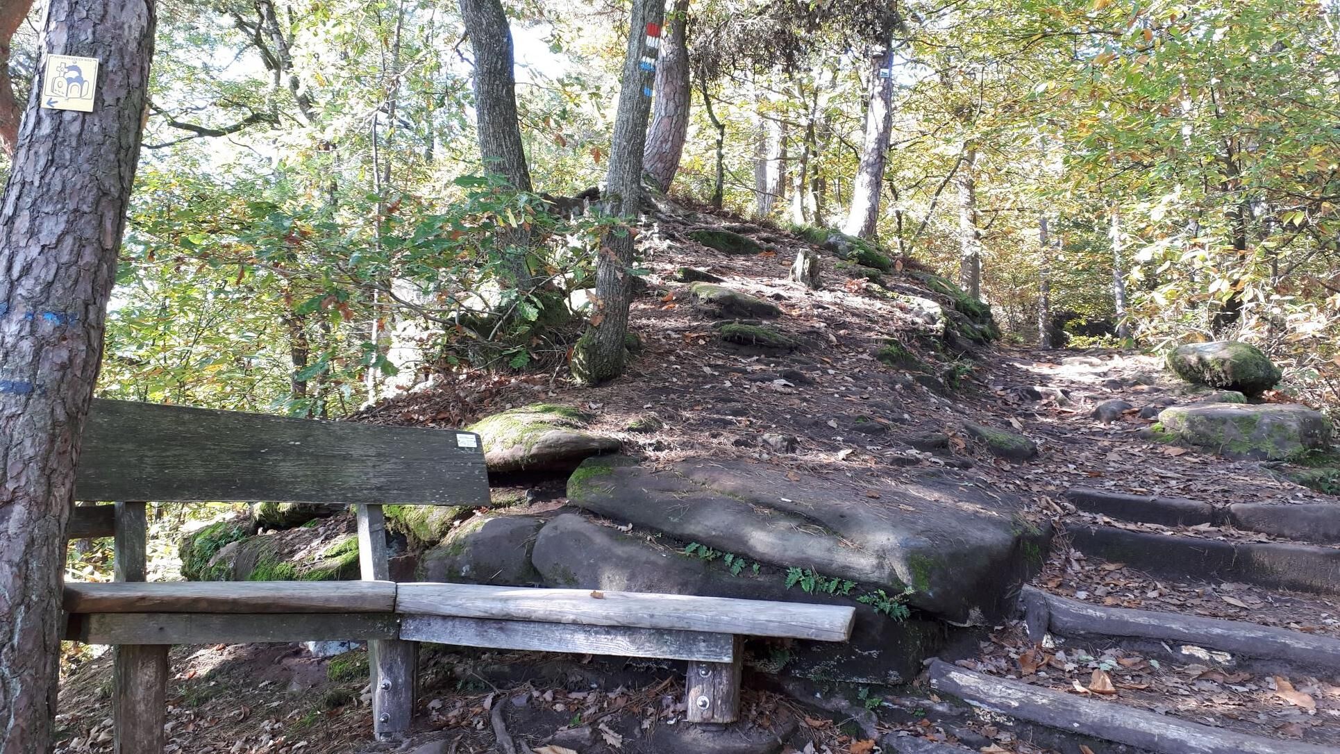
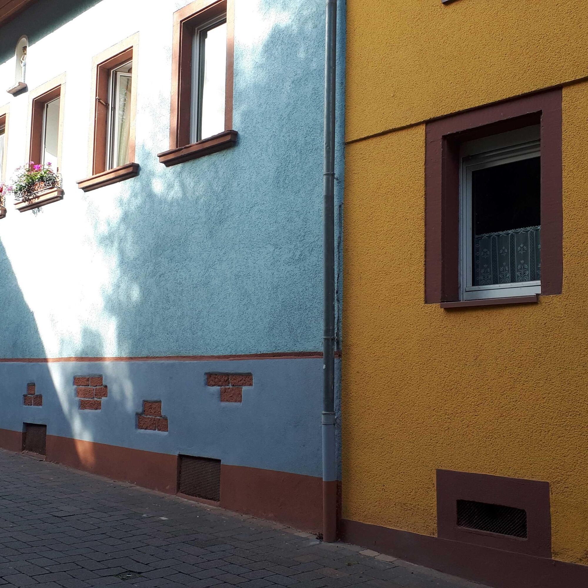
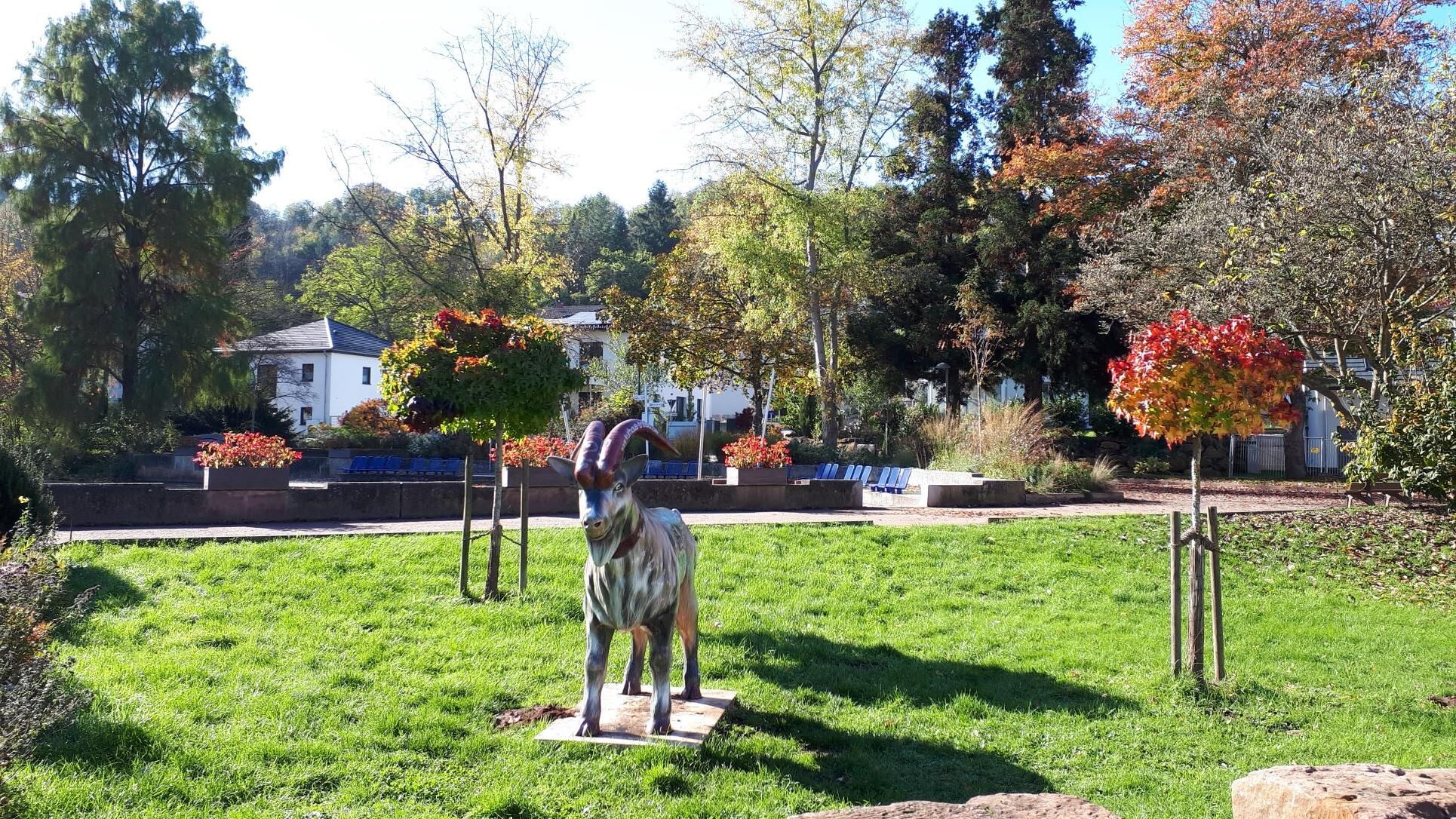

The eighth Pfälzer Weinsteig stage begins in the charming village of Dernbach, nestled among hills. From here, we hike steeply uphill into the forest and reach the Eußerthal Sanatorium. On Saturdays and Sundays from 2:00 to 5:15 pm, a café invites you to visit. Comfortable forest paths take us along the slopes of the Walterskopf to Eußerthal with its parish church, a former Cistercian monastery. Afterwards, the route continues through scenic orchards past a stone wayside cross and back up into the forest. On the sometimes steep climb to the saddle between Grüneck and Franzosenkopf, the clear, cold water of the Eselstränke fountain quenches our thirst. As we descend to Gräfenhausen, the 3-Burgen-Blick rest area invites you to pause. Opposite rise Trifels Castle, the Anebos ruin, and the Scharfenberg ruin into the Palatinate sky.
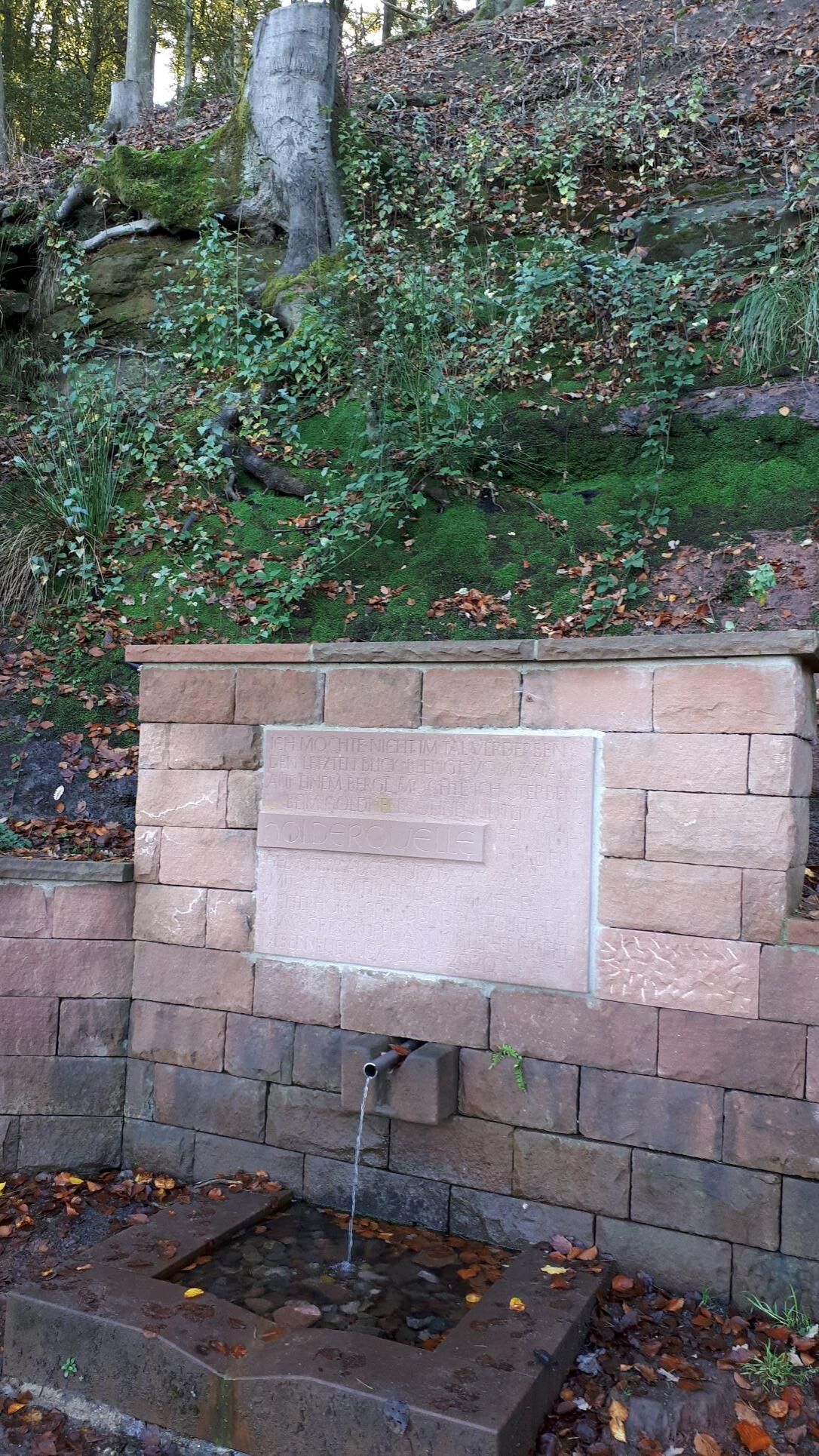
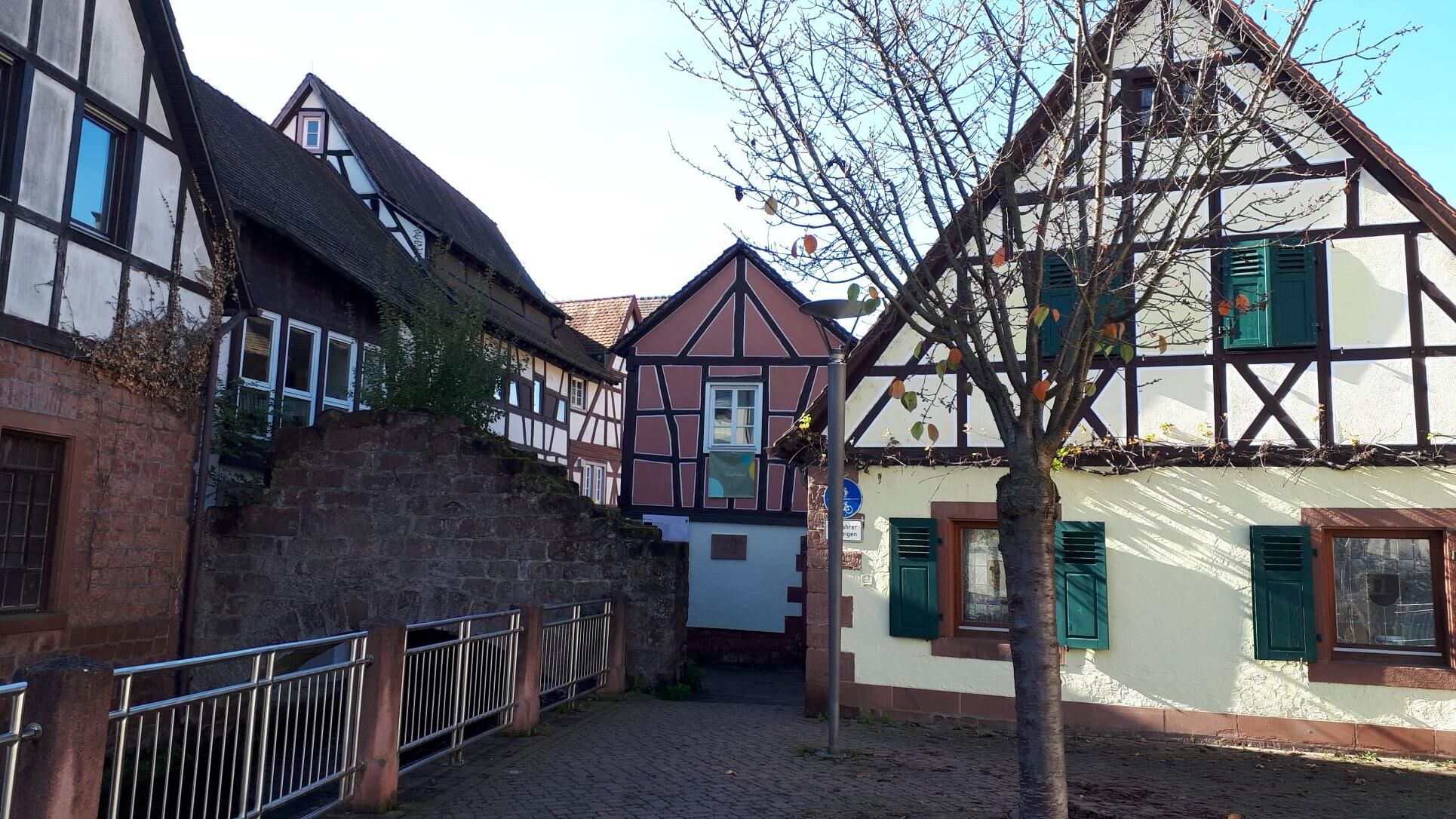
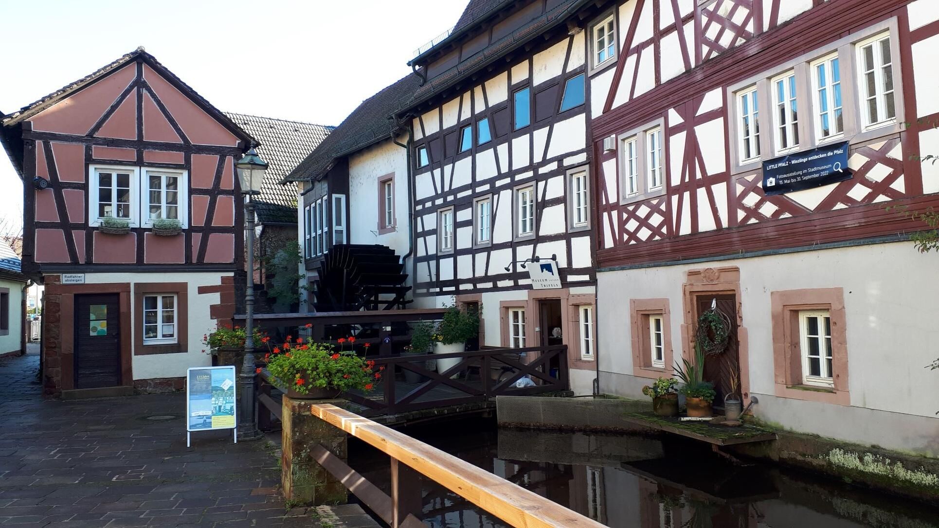
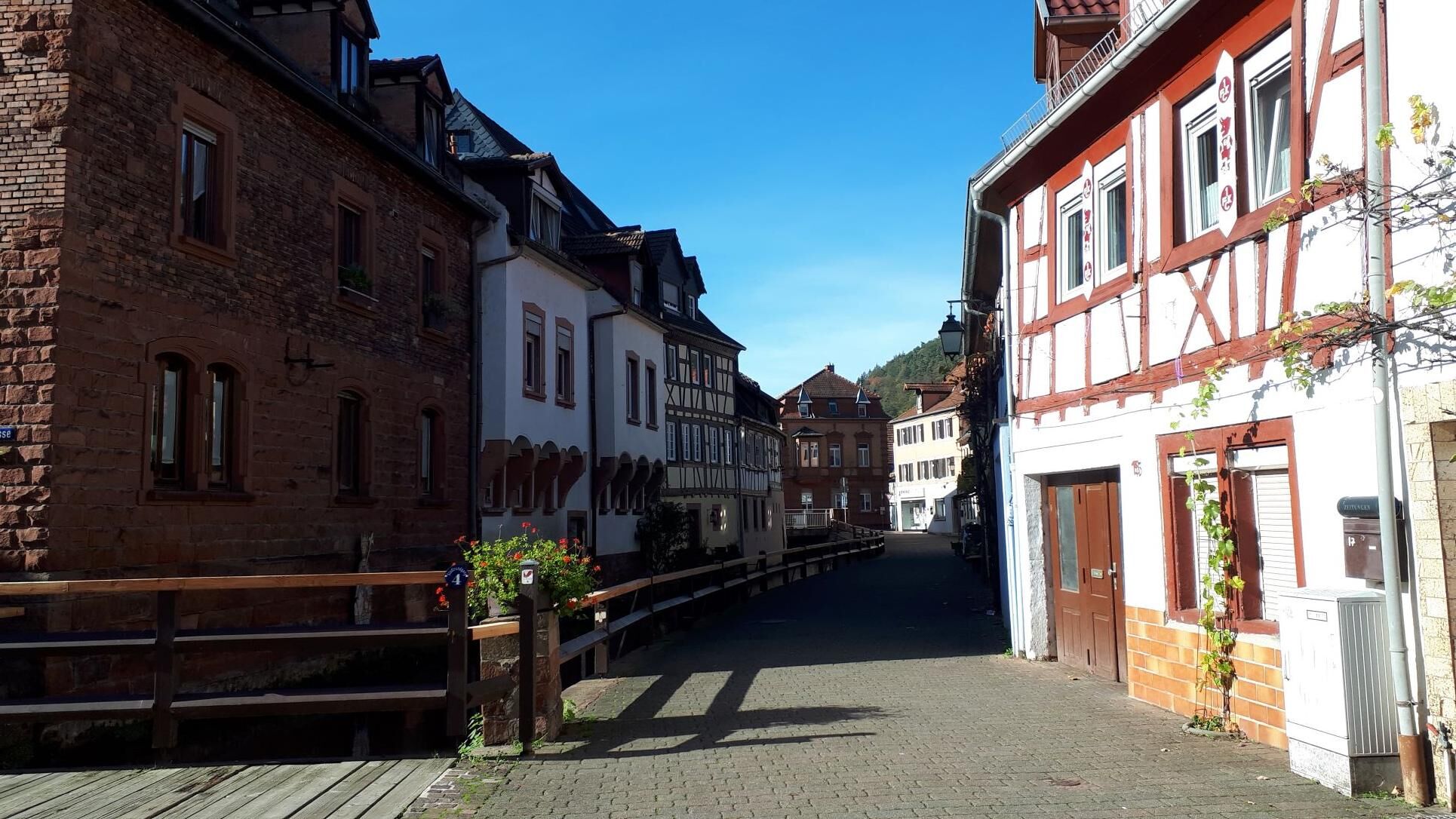
We pass through the small wine village of Gräfenhausen and reach, after a longer ascent on shady paths and trails, the Jungpfalz shelter and the Holder spring on the northern slope of the Großer Adelsberg. From here, a short detour (approx. 500 m) to the Jungpfalz hut, which is open on weekends, is worthwhile. Finally, it’s not far to the Krappenfels viewpoint, where a beautiful view of Trifels Castle awaits us. A path leads us down the wooded slope to the Turnerheim and further to Annweiler. In the small town at the foot of Trifels Castle, which is crossed by the Queich stream, a historic old town with romantic streets awaits us around the Stadtmühle and the tanners' quarter.
Tak
Tak
For our hiking tours, we recommend the following equipment as standard:
Sturdy footwear Weather-appropriate clothing Sun and rain protection Sufficient supply of food and drinks, as not everywhere offers or is open for food or shopping. Even though the paths are consistently very well marked, it is always recommended for safety reasons to carry a suitable hiking map so that, for example, you can quickly find a safe area in case of a thunderstorm or emergency.Hiking on natural paths and trails - Especially in autumn, also pay attention that fallen leaves on the ground can hide unevenness, roots, stones, or holes in the path. After thunderstorms or heavy rain, trees may still fall or branches may fall afterward. Especially in adverse weather conditions, natural paths can have muddy and slippery sections. Not all rocks or ravines are secured with ropes or railings. Surefootedness is required in places. You must expect these types of path impairments when undertaking a hike. If you believe certain sections are impassable for you, you should bypass them. Despite the 'unmissable' marking of premium hiking trails, it is always recommended for safety reasons to carry a suitable hiking map so that you can find a safe area quickly in the case of a thunderstorm or emergency. Trail closures and detours must be observed.
Danger situations - If an emergency arises, quick help is needed. And even if cell phones can send GPS signals, it is often fastest at the classic rescue points. These are located at places accessible to rescue vehicles. Remember the points with the green signs and a white cross. In an emergency, return there and give the number on the sign when calling for help. This way, rescue workers will know where to find you.
Take the A65 to the Landau-Nord exit, continue on B10 towards Annweiler, until the L505 turns right to Dernbach.
By train to Albersweiler, then by bus 521 towards Ramberg, Nord (stop: Dorfplatz Dernbach)
Travel information: via the DB travel information and in the DB Navigator app
Parking in the center of Dernbach opposite the fire station
Please park only in designated parking spaces and always keep access routes for emergency vehicles as well as work paths in the forest and vineyards clear. For overnight stays in camper vans and caravans, there are designated motorhome parking spaces explicitly for this purpose here.
Tak
Eußerthal: monastery church, orchards, trout farming with gastronomy in the area
A visit by detour to the Jung-Pfalz hut is possible (observe opening hours) => www.jung-pfalz-huette.de/wp/


Popularne wycieczki w okolicy
-
4,3
Annweiler Castle Trail
średniWędrówka 7,72 km -
4,3
Eschbach-Trifelsblick-Madenburg-Eschbach
światłoWędrówka 9,37 km -
4,5
Vom Hambacher Schloss auf die Kalmit
średniWędrówka 11,3 km -
3,7
Eiderbachtal - Hofstätten - 7 Buchen - Annweiler Forsthaus - Eiderbachtal-Parkplatz
średniWędrówka 11,3 km -
4,5
Schusterpfad
średniWędrówka 16,4 km -
5,0
Rundtour Roth unter Riethburg
średniWędrówka 14,5 km -
Neustadt, Kaltenbrunner Tal, Totenkopfhütte, Hellerhütte, Königsberg, Neustadt Neustadt an der Weinstraße, Rheinland-Pfalz
światłoWędrówka 18,1 km -
5,0
Palatinate Wine Route stage 05 Neustadt a. d. Weinstraße - St. Martin
ciężkidługodystansowy szlak pieszy 19,8 km -
4,5
Erfweiler - Hahnberg - Kahlenberg - Schindhard
średniWędrówka 14,6 km -
Drei Burgenweg in Erfenstein
średniWędrówka 7,30 km
Wędrówki i tropienie


Nie przegap ofert i inspiracji na następne wakacje
Twój adres e-mail została dodana do listy mailingowej.





