







Veloroute Rhine (Speyer-Karlsruhe)

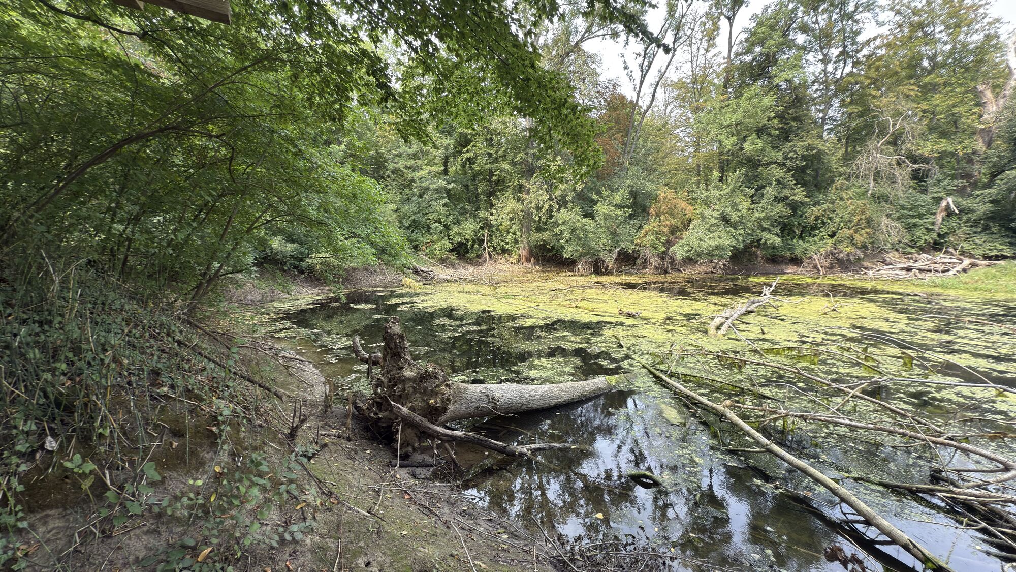
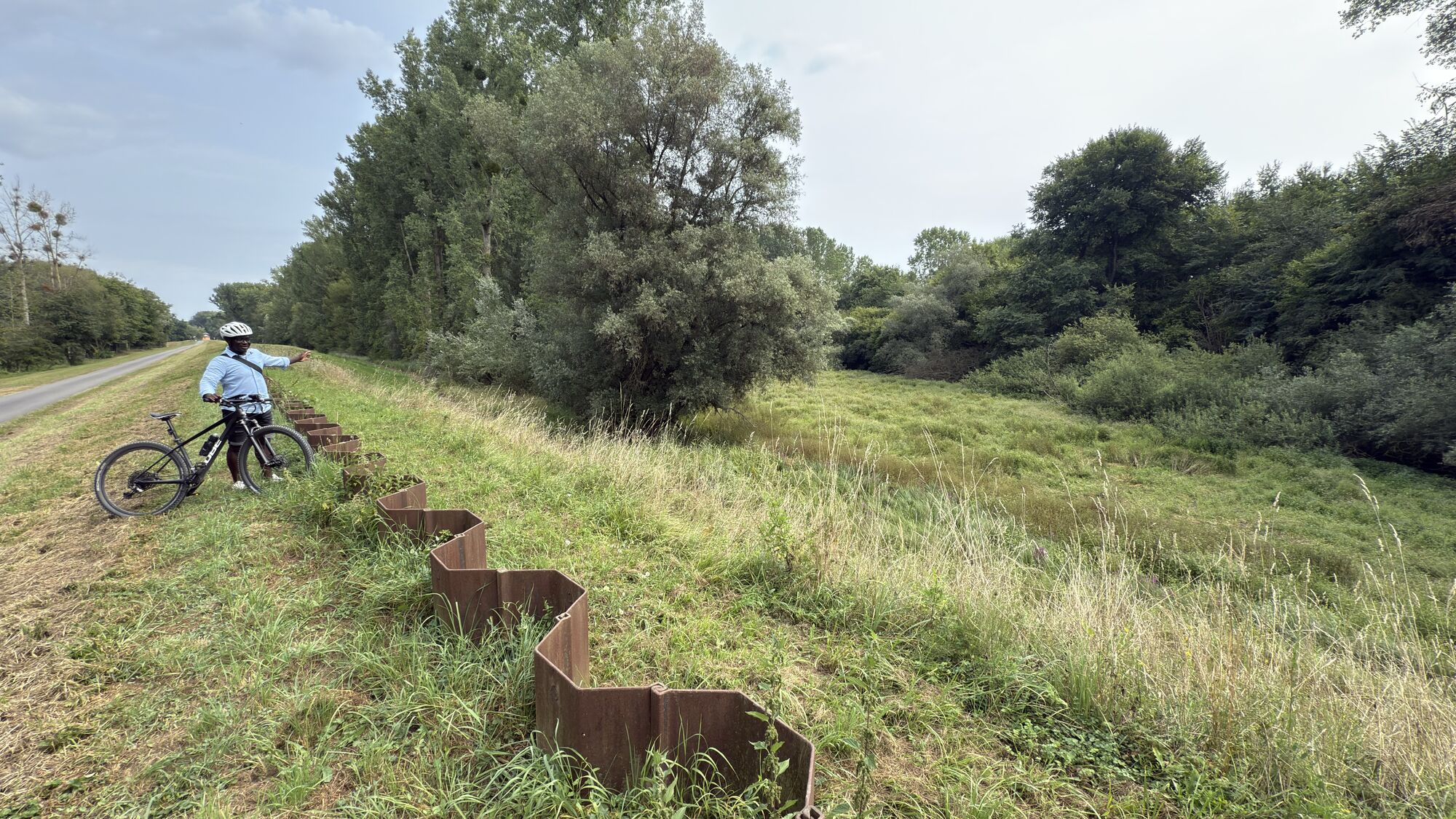
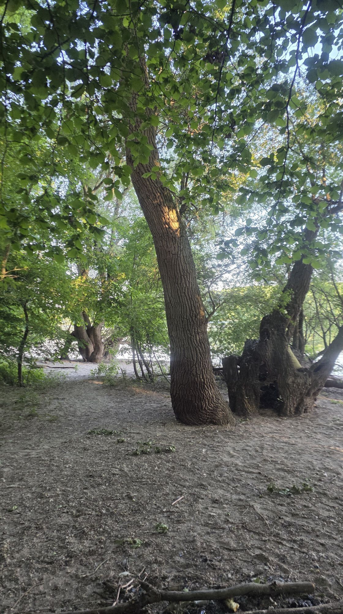
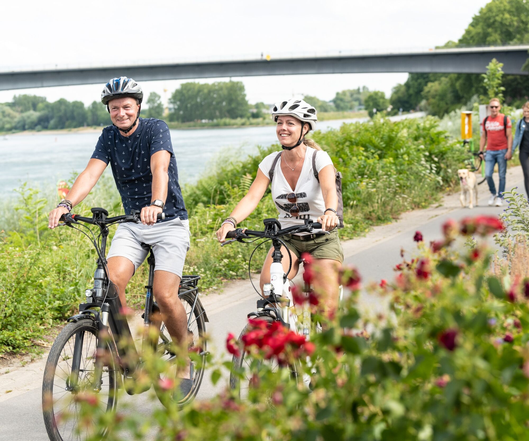
Section of the international long-distance cycle route along the Rhine (approx. 106 km of 1,355 km), running on both sides of the river from Lauterbourg to Worms. Here you will find attractive natural...
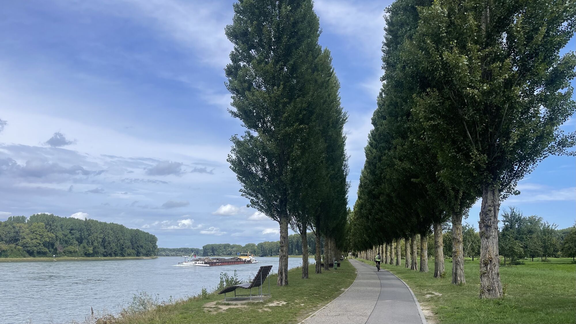
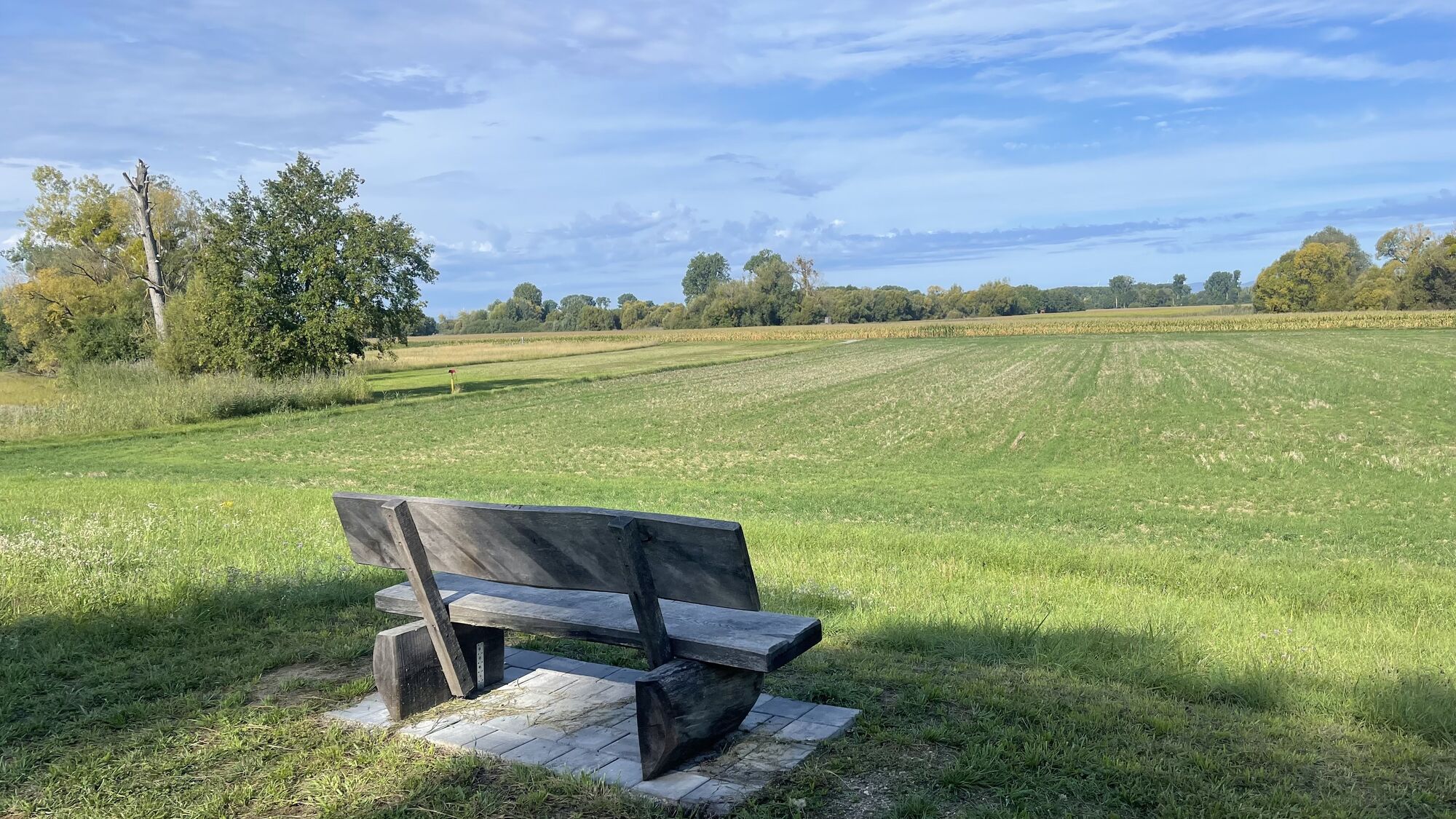
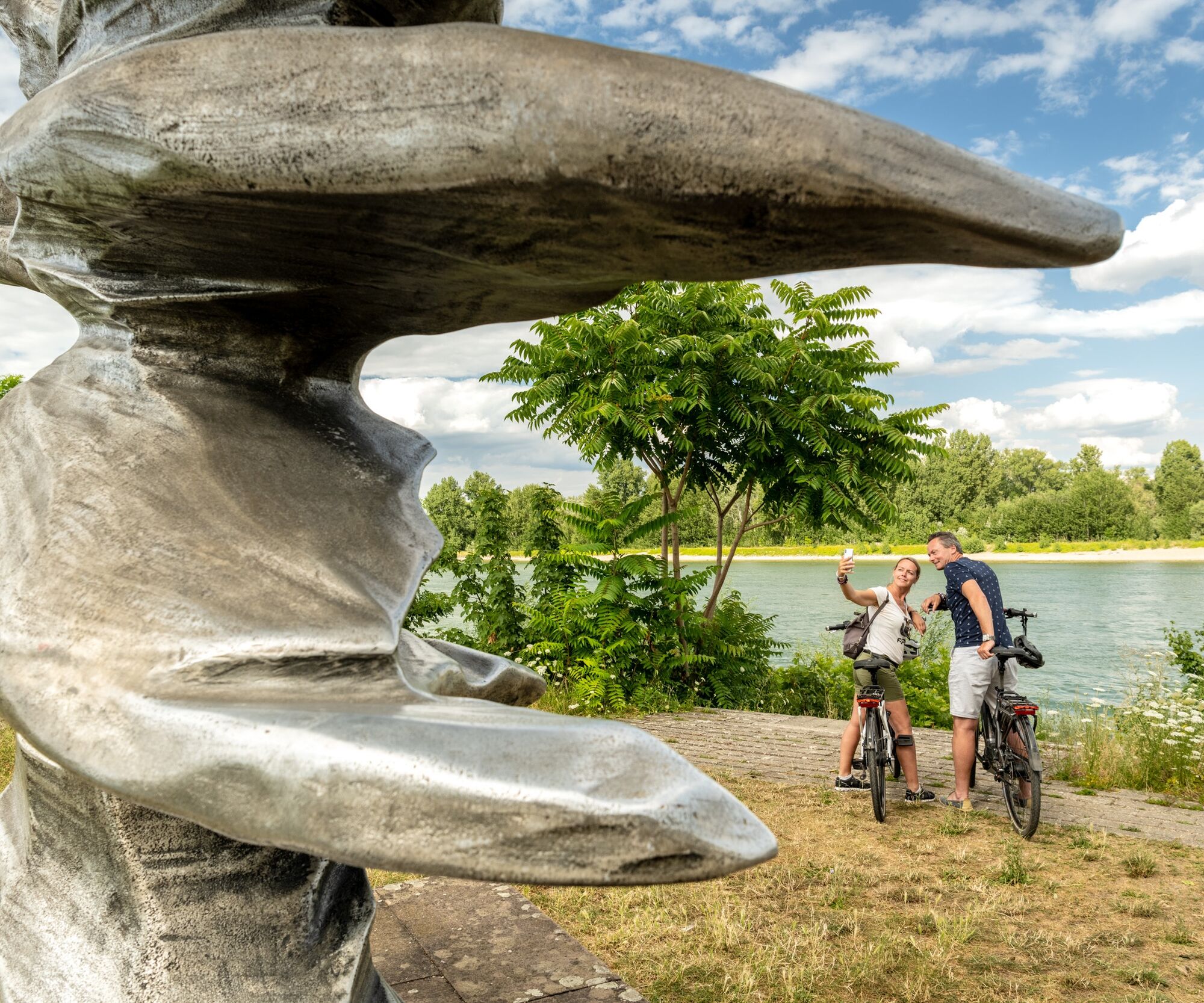
Section of the international long-distance cycle route along the Rhine (approx. 106 km of 1,355 km), running on both sides of the river from Lauterbourg to Worms. Here you will find attractive natural and cultural landscapes in the Upper Rhine Graben with ideal conditions for cycling. On the Veloroute you can also cycle from Speyer "From Cathedral to Cathedral" to Worms and Mainz (north route), or take the south route to Karlsruhe.

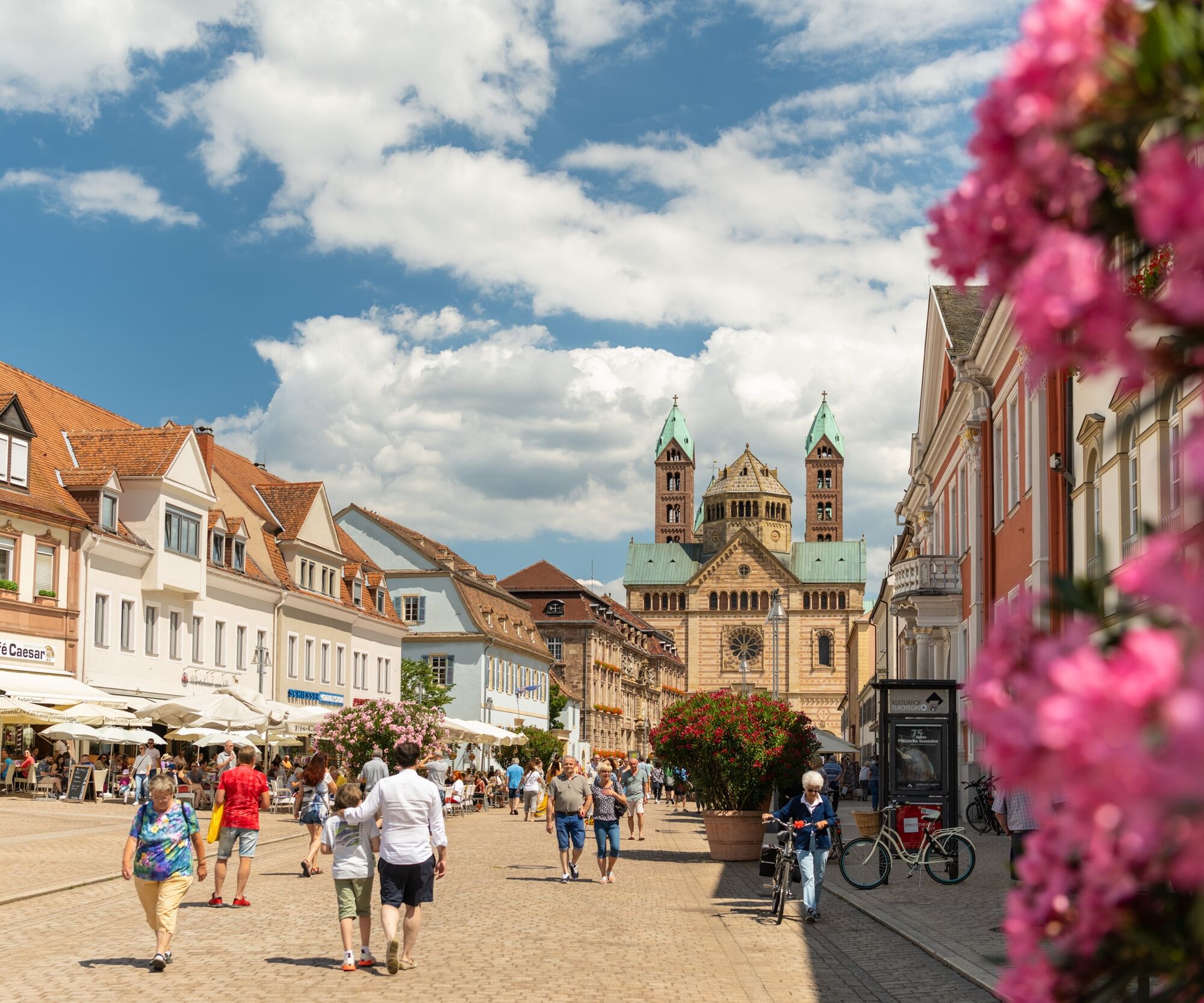
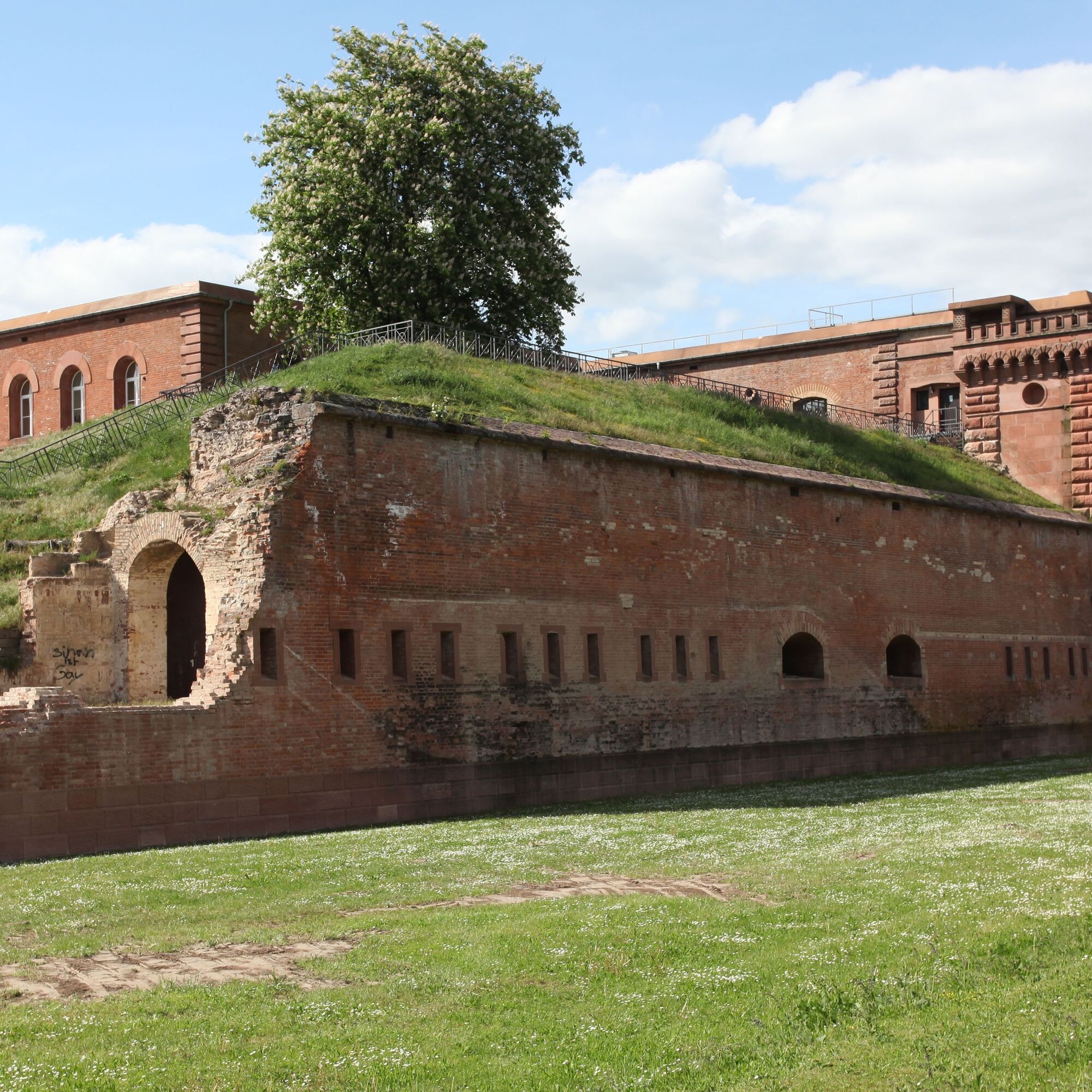
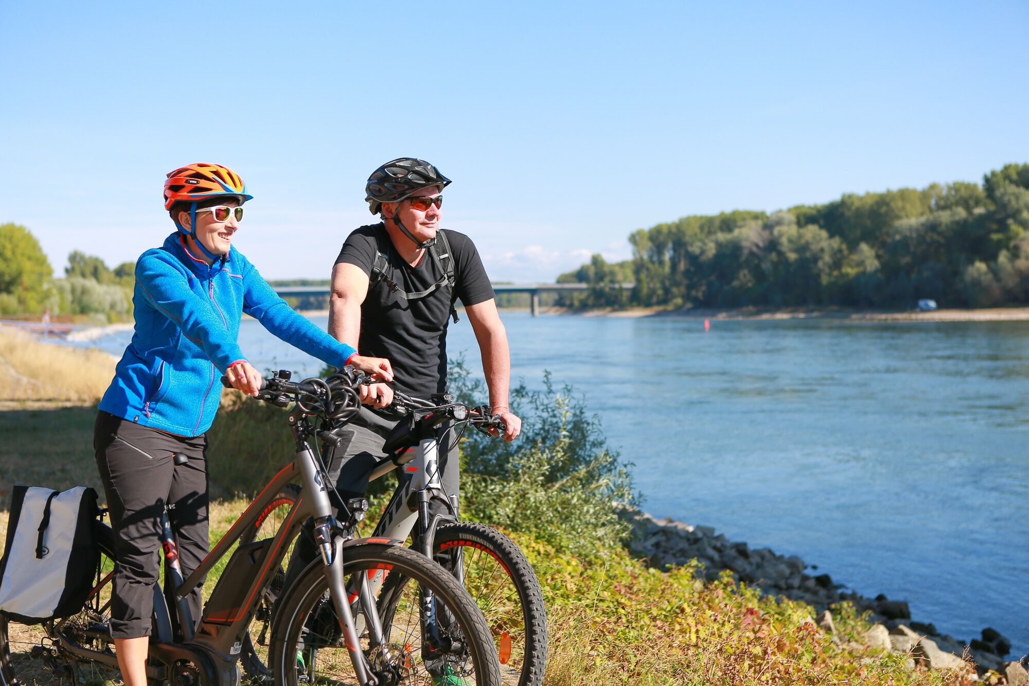

Start in Speyer:
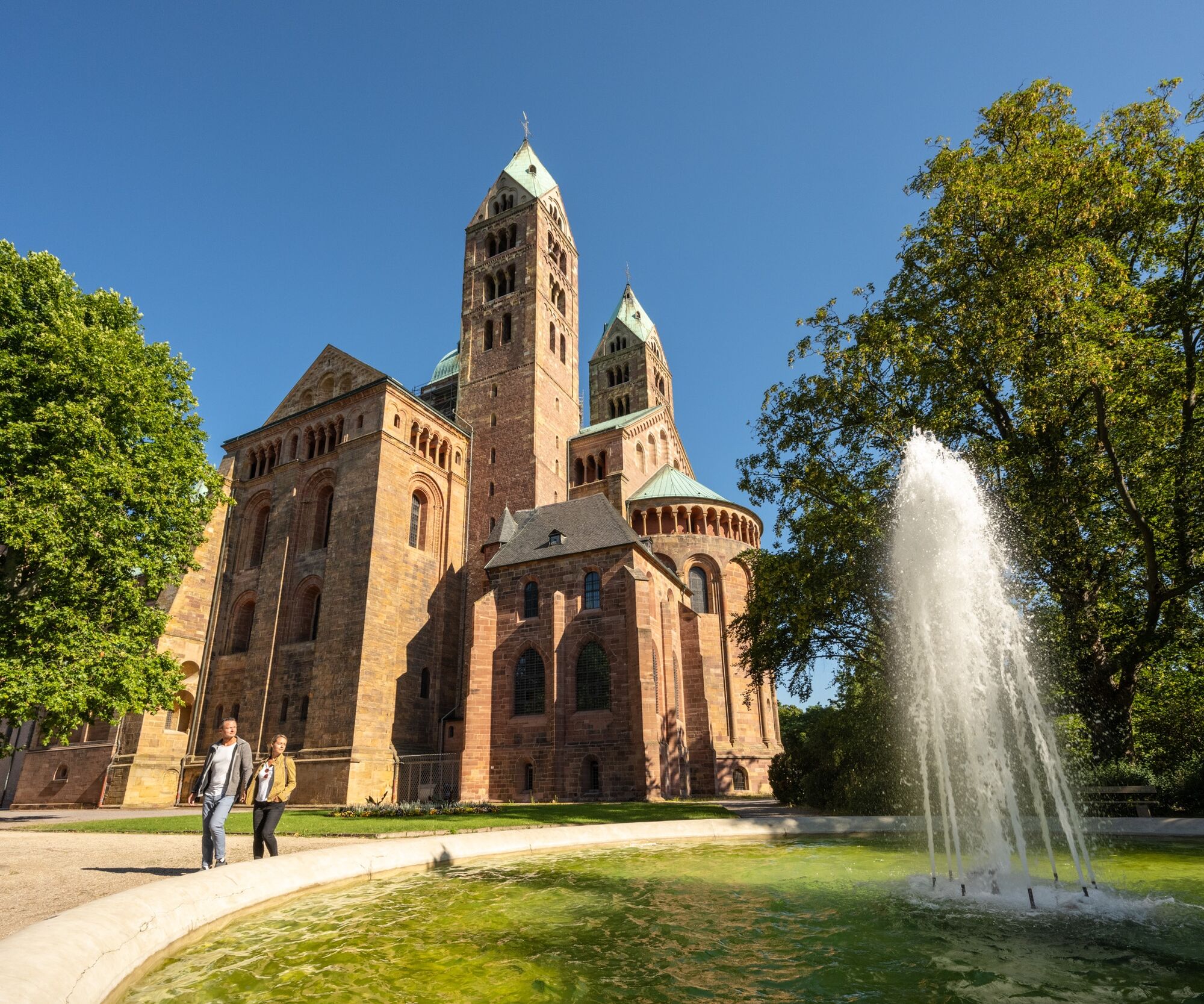
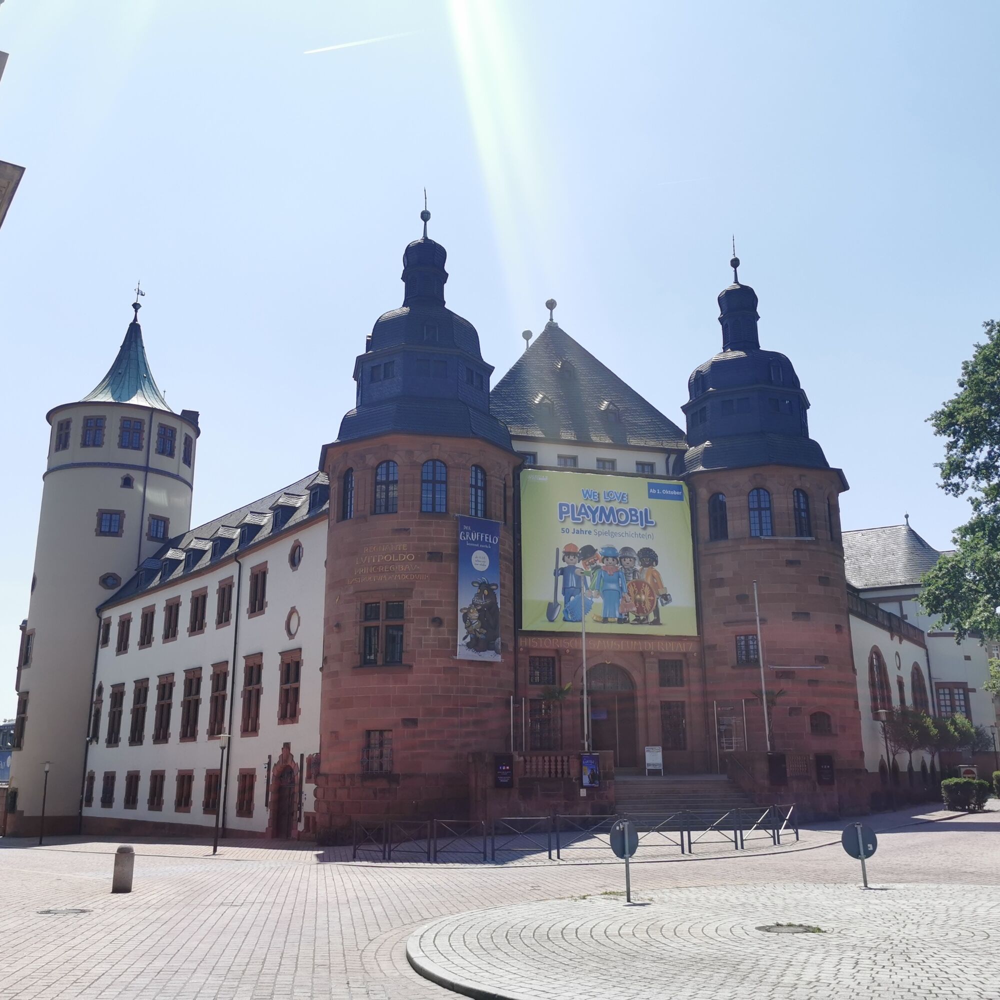
Behind you is the cobblestone Maximilianstraße and ahead the magnificent cathedral where your route begins. Slightly downhill to the right, go down Domplatz, past the Historical Museum of the Palatinate, about 250 m to Klipfelsau, then turn left onto the cycle path. After 270 m, at the traffic island, cross Schillerweg and keep right on the cycle path until the Rhine bridge.
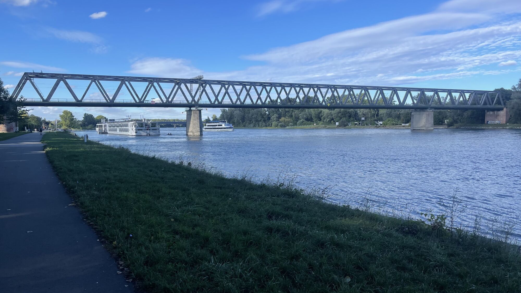
After passing under the bridge, take the cycle path to the left uphill and cross the Rhine via the Salierbrücke. After the bridge, follow the signs to the right towards Germersheim.
Start in Lingenfeld:
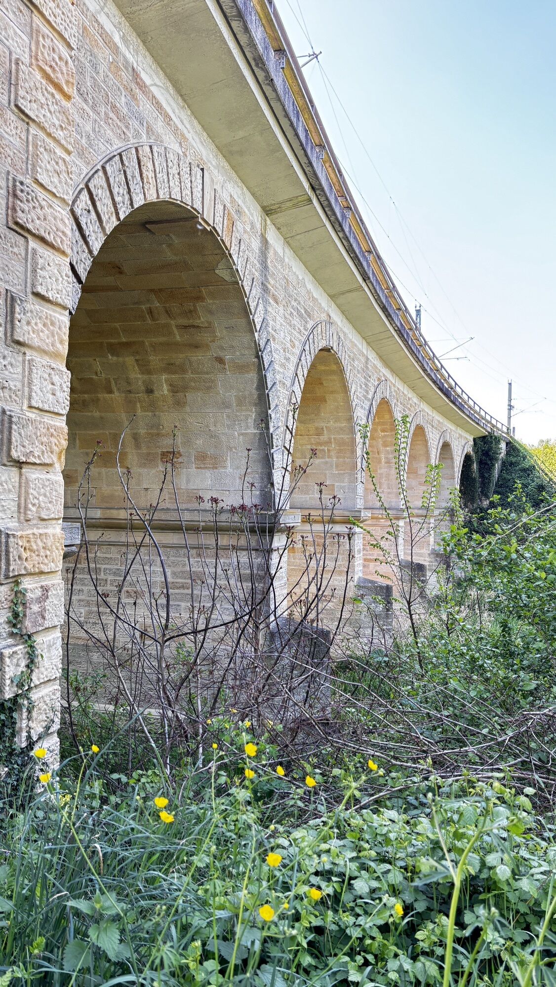
From Lingenfeld station, cross to Kolpingstraße, continue on Berlinerstraße and Friedrich-Ebert-Straße. Turn right into Kirschenallee and then left into Erlenweg. Follow the cycle path down towards Altrhein and under the railway bridge on the left at the right turn. You reach the Lingenfeld Old Rhine, where you cycle along the Rhine dike and turn right onto Hafenstraße at the intersection "Im Weidenschlag." Go straight ahead to the second roundabout. At the Jet gas station, turn towards the town centre. At the next roundabout, take the 2nd exit and follow Bahnhofstraße. This becomes Zeughausstraße and then Rudolf-von-Habsburgstraße. At the roundabout near the Rhein/Mitte S-Bahn station, take the 2nd exit, use the underpass, and continue straight towards the Rhine (do not follow the priority road!). You arrive at the Rhine dike and continue to the Rhine promenade. Cycle right always along the Rhine to the Brickworks Museum in Sondernheim. Then stay on the route. When the paths cross behind the dike, continue left behind the dike towards Leimersheim/Wörth/Karlsruhe to the lock house in Hördt.
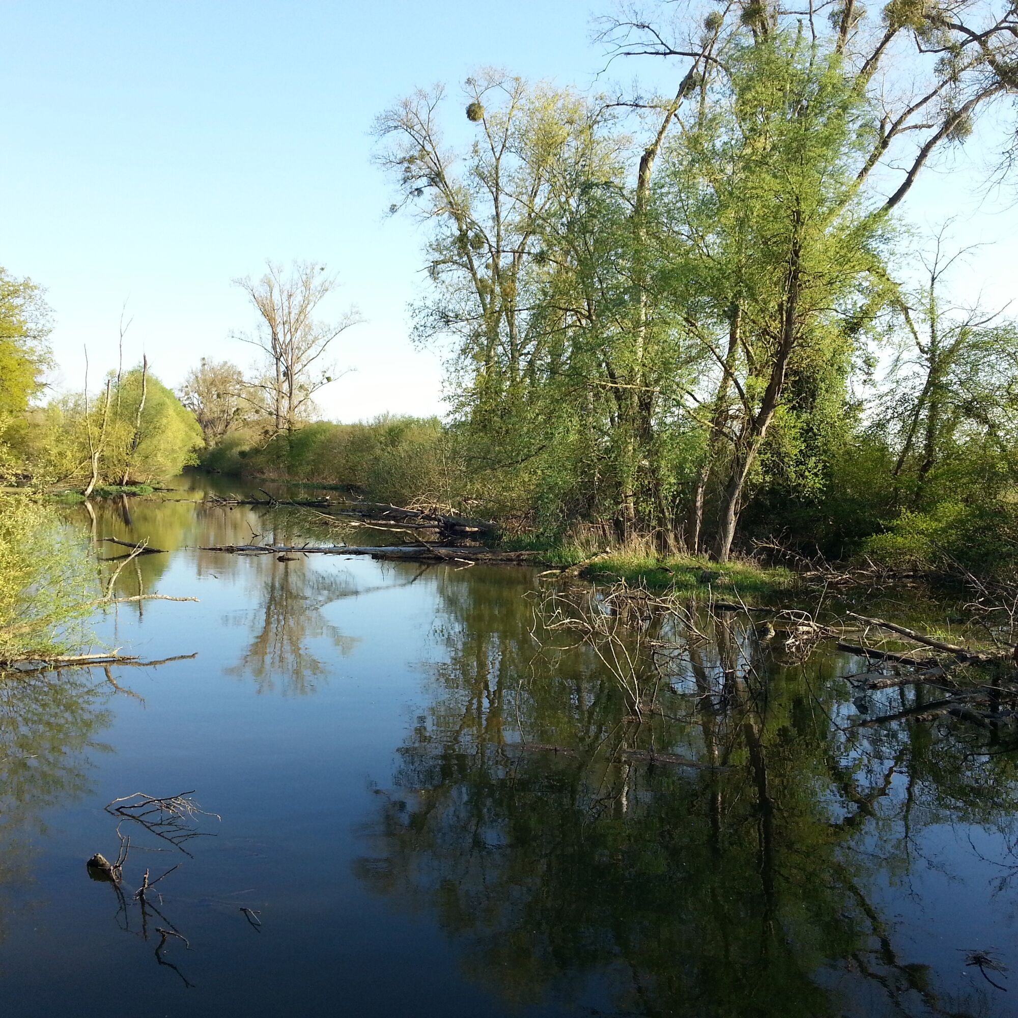
From the lock house, the cycle path leads over the Michelsbach past the nature reserve "Hördter Rheinauen" with its magnificent flora and fauna, further past meadows and fields where you can also observe storks in summer, to Leimersheim. Right on the cycle path is the Leimersheim maize labyrinth, a detour is worthwhile. Then continue on L549 along the discovery path "Around the Fish Pool." With some luck, you can observe the kingfisher here.
You can take the Rhine ferry from the Baden side to Leimersheim. If starting here, cycle about 1 km on L549 then turn left onto the Rhine cycle path, which continues from here to Neupotz. It goes straight on to Wörth. There, the cycle path leads around the port area and past the Old Rhine into town. The Rhine cycle path runs parallel to the Petronella Rhine cycle path to the Rhine bridge.
The return journey can be made by train on either side of the Rhine.
Tak
Racing bike, touring bike, or bicycle with gears, depending on the length of the route, as well as weatherproof clothing, drinks and provisions.
Please wear a helmet. Road traffic regulations must be observed.
Follow the parking guidance system to "Festplatz", 5 min walk to the cathedral.
From Mannheim Main Station with S-Bahn S3 / S4 towards Germersheim, to SP main station. (Change to City Shuttle, line 565 to Domplatz)
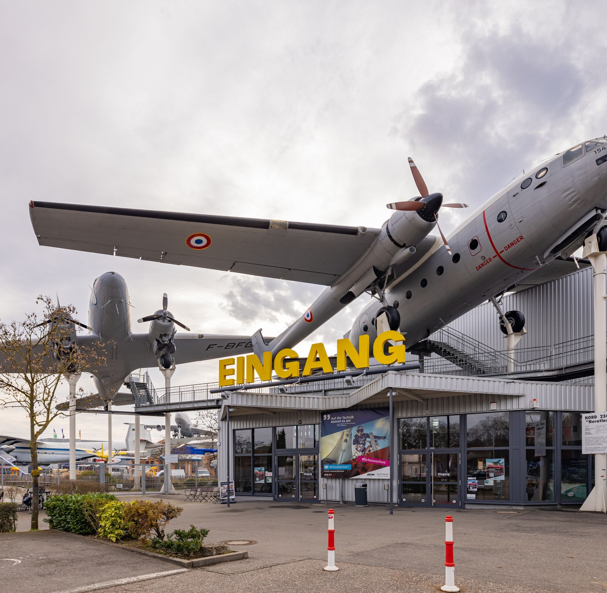
P + R car park "Festplatz" (GPS: Klipfelsau) or alternatively "Naturfreundehaus" (GPS: Schillerweg) or Technology Museum (GPS: Am Technik Museum 1)
Speyer Tourist Information
Maximilianstraße 13
67346 Speyer
Tel.: 0 62 32-14 23 92
Fax: 0 62 32 -14 23 32
E-mail: touristinformation@stadt-speyer.de
www.speyer.de
Don't miss: Speyer Cathedral (UNESCO World Heritage Site), more info: www.dom-zu-speyer.de.
Here you will find hosts specialized to your needs: Bett + Bike - establishments.
For your culinary pleasure: Speyer Gastronomy.
Want to know what's happening in Speyer? Here you'll find Speyer.de
Want to be the first to know what's coming up in the cathedral and imperial city of Speyer? Then quickly subscribe to the Speyer newsletter: http://www.speyer.de/sv_speyer/de/Tourismus/Service/Newsletter/
South Palatinate Tourism District Germersheim e.V.
Luitpoldplatz 1
76726 Germersheim
Tel.: 0 72 74-53 300
Fax: 0 72 74-53 15 300
E-mail: info@suedpfalz-tourismus.de
On the left bank of the Rhine, this route leads from Speyer through the rustic Rhine floodplain landscape with its nature reserves via Germersheim to Karlsruhe and finally back to Speyer on the right bank of the Rhine.
The route can be shortened multiple times (bridges or Rhine ferries). Short distance approx. 40 km / 2:30 hours - longest distance approx. 106 km / 6:40 hours.
Popularne wycieczki w okolicy
- 3,5
Treidlerweg
światłoWędrówka 12,5 km AugenBlick-Runde Karlsruhe Rittnert
Wędrówka 10,1 km- 4,0
Weinwanderweg Durlach (rote Route)
średniWędrówka 5,10 km - 5,0
Best of Karlsruhe – Dein Stadtrundgang
światłoWędrówka 6,02 km - 4,0
Wandern rund um das Schiffer- und Fischerdorf Neuburg
średniWędrówka 11,3 km - 4,0
Minfeld/Freckenfeld - Wine and Meadow Path
średniWędrówka 15,4 km Rheinzabern - Otterbachbruchweg: Quality Route Wanderbares Deutschland - Dream Route
średniWędrówka 8,81 kmWeinwanderweg Durlach (lila Route)
średniWędrówka 2,35 km- 4,0
Am Hafen von Wörth.
średniWędrówka 7,23 km Mundart-Dichter-Weg
światłoPrzechadzka 1,89 km
Wędrówki i tropienie


Nie przegap ofert i inspiracji na następne wakacje
Twój adres e-mail została dodana do listy mailingowej.





