


Val Varaita Trekking: Tappa 1 Verzuolo - Isasca
Zdjęcia naszych użytkowników
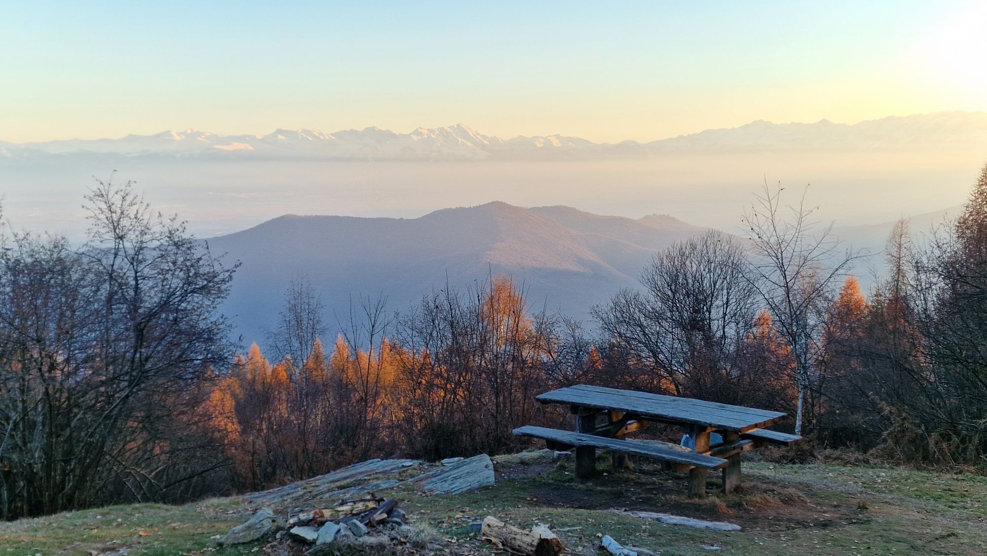
The first stage starts from Verzuolo, the lowest village in the Varaita Valley, and begins the ascent towards Isasca. The walk on a stretch of mule track towards the Guardia district and Pian Fiorito,...
The itinerary was promoted within the platform as part of the PITEM M.I.T.O. project. – Outdoor OFF - Interreg Italy-France Cross-Border Cooperation Program ALCOTRA 2014-2020.

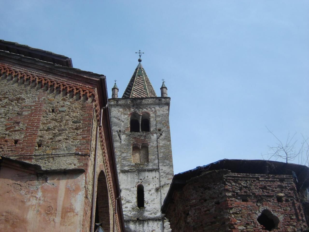
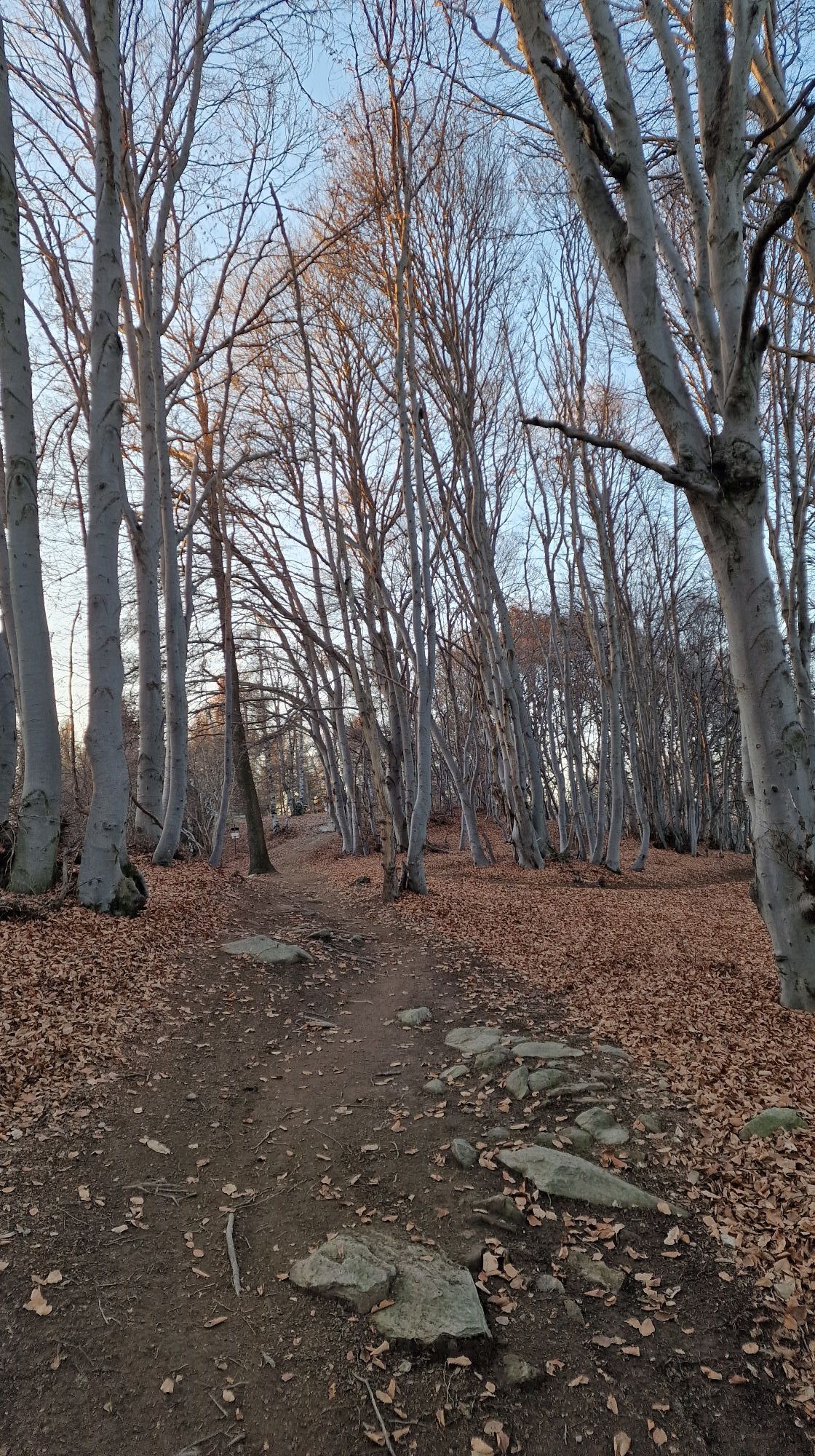
In Verzuolo you start from via al castello, after the wing, going up to the right on the paved road and passing between the old houses of the Guardia district and next to a votive pylon, where the road turns left and begins to go along the ridge of the hill . With a stretch of mule track we arrive at Pian Fiorito. We continue through the woods and arrive at the Sanctuary of Santa Cristina. From the square in front of the church we go up the steep dirt road and after 50 meters we leave it behind to take the narrow path on the left which takes us with a steep ascent to the Pilone San Salvatore. From here we continue downhill arriving at Pian Colletto, a crossroads of several paths. We keep to the one that goes up and we reach the top of the hill where the white chapel of S.Bernardo Vecchio is located. We take the direction of Isasca – Venasca on a narrow path that follows the watershed. We keep the ridge with various ups and downs and then we follow the direction of Isasca. We enter a magnificent chestnut grove and go down to the town square.
Tak
dal semaforo di Verzuolo nel centro abitato, proseguire per via Castello
Santuario di S.Cristina, cappella S.Bernardo il Vecchio
Popularne wycieczki w okolicy
Occitan Routes: Stage 1 Ciciu di Villar - Frazione Sant'Anna di Roccabruna
średniWędrówka 15,9 kmOrizzonte Monviso - Stage 1: Hiking refuge La via del sale - Hiking refuge Pian Munè
średniWędrówka 15,8 kmVal Varaita Trekking: Tappa 12 Venasca - Costigliole Saluzzo
średniWędrówka 18,1 kmMaritime Alps Park | "Ciciuvagando" to discover stone mushrooms
średniTrasa tematyczna 1,24 kmValle Bronda Trekking | Stage 1 Borgo Testa Nera (Castellar) - Pagno
średniWędrówka 7,92 kmValle Bronda Trekking - Stage 2A: Martiniana Po - Brondello (crossroads at 835 m altitude)
średniWędrówka 8,35 kmValle Bronda Trekking | Stage 3 Brondello - Pagno
średniWędrówka 13,9 kmI Ciciu del Villar
średniWędrówka 2,92 kmVal Varaita Trekking: Tappa 10 Melle - Santuario di Valmala
średniWędrówka 10,1 kmValle Bronda Trekking | Stage 2 Pagno - Brondello
średniWędrówka 8,85 km

Wędrówki i tropienie


Nie przegap ofert i inspiracji na następne wakacje
Twój adres e-mail została dodana do listy mailingowej.