






Occitan Routes: Stage 1 Ciciu di Villar - Frazione Sant'Anna di Roccabruna
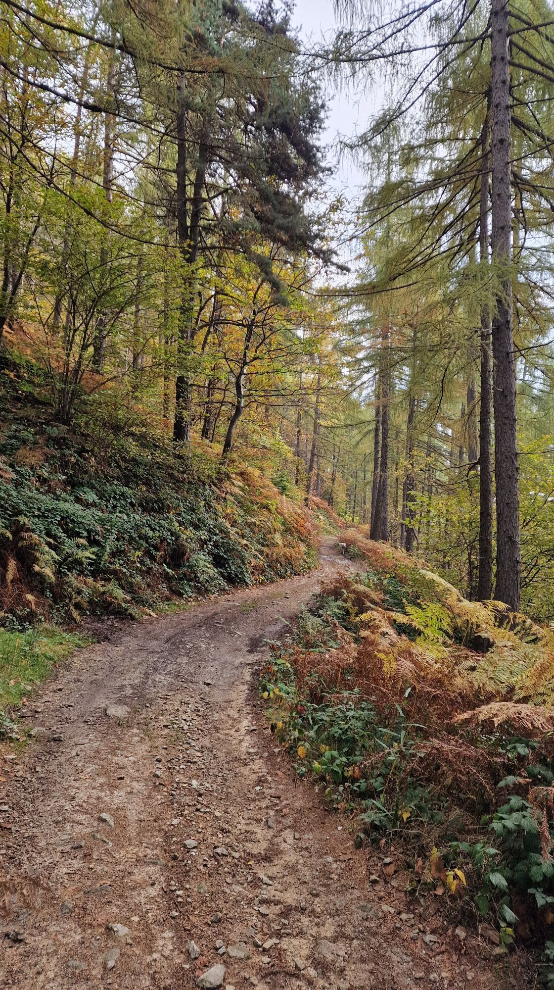
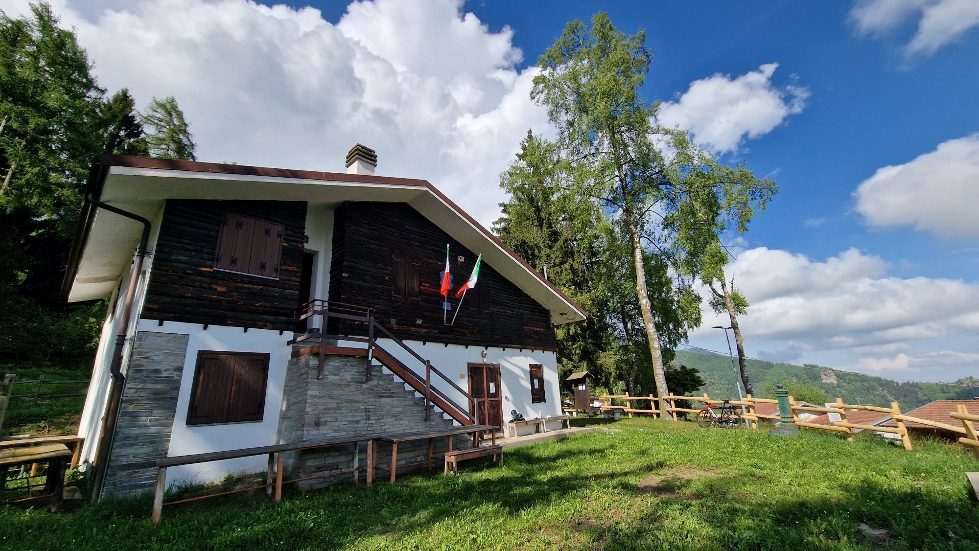
From the Ciciu Nature Reserve, follow via Cervetto to the right and, once you reach the Foresti region, the signs for the “Luca Borgoni” path (athlete who died prematurely on Monte Cervino). The up and...
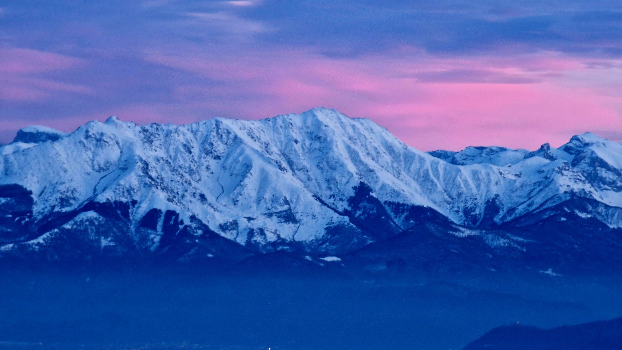
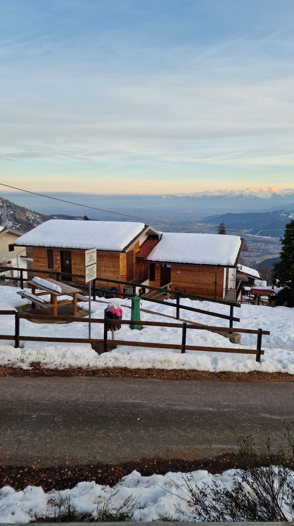
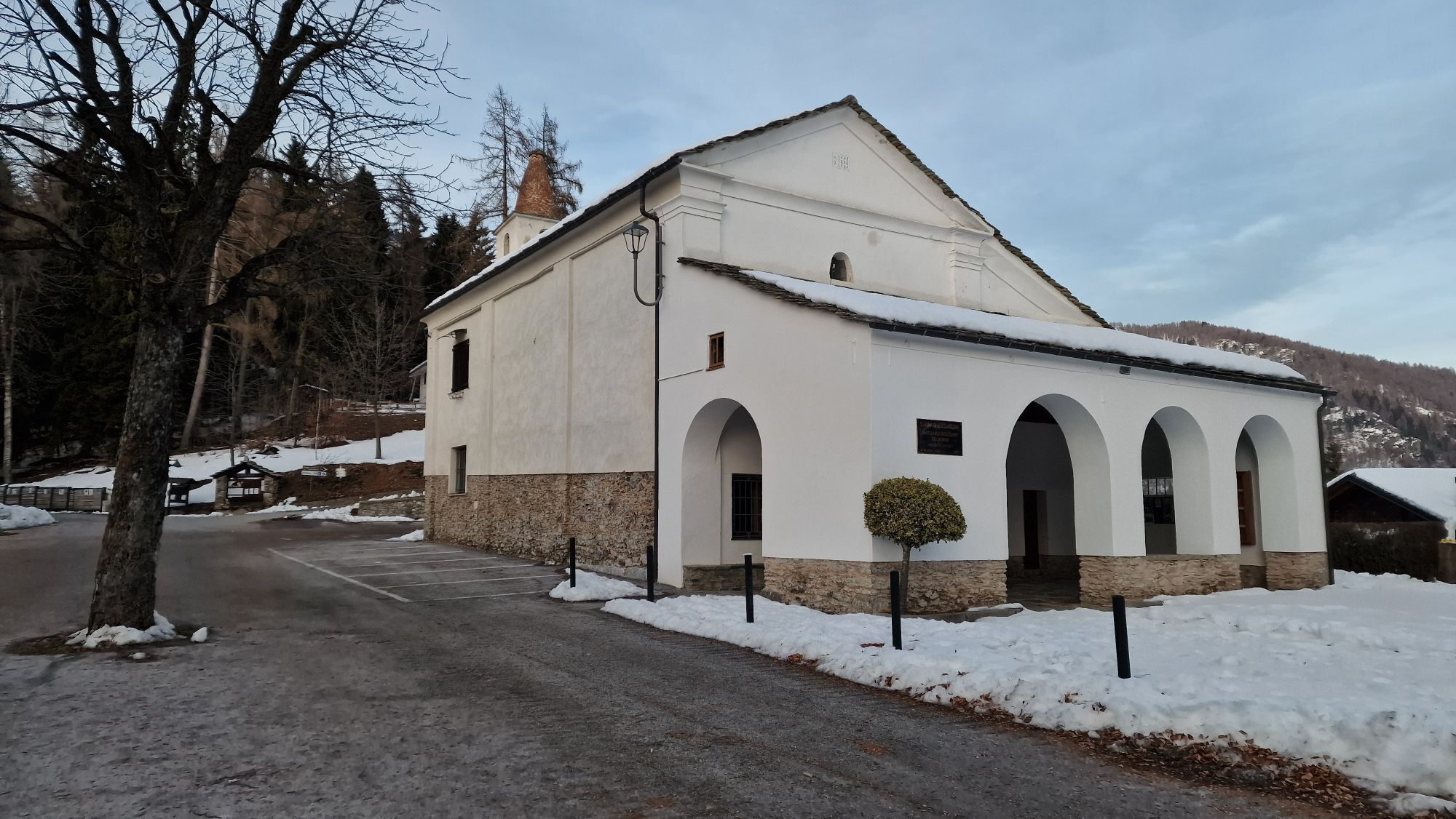
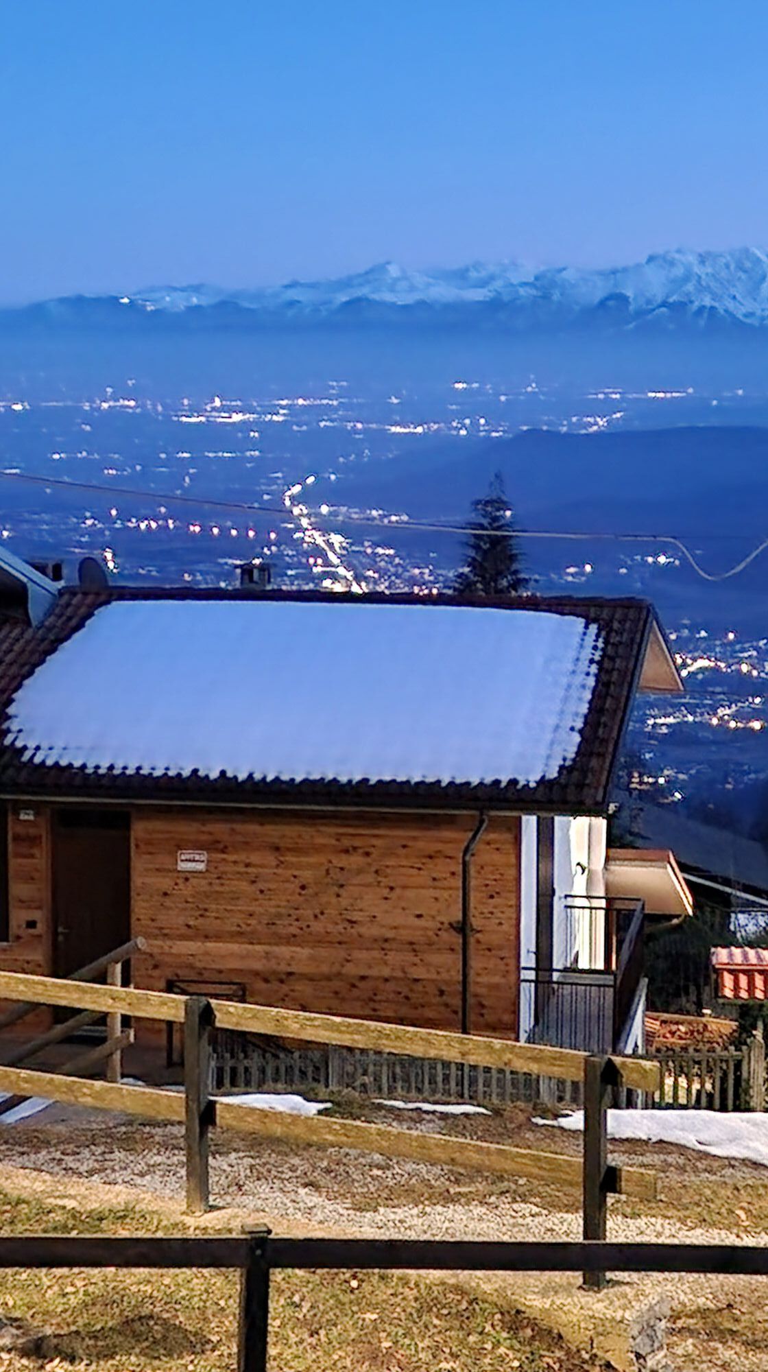
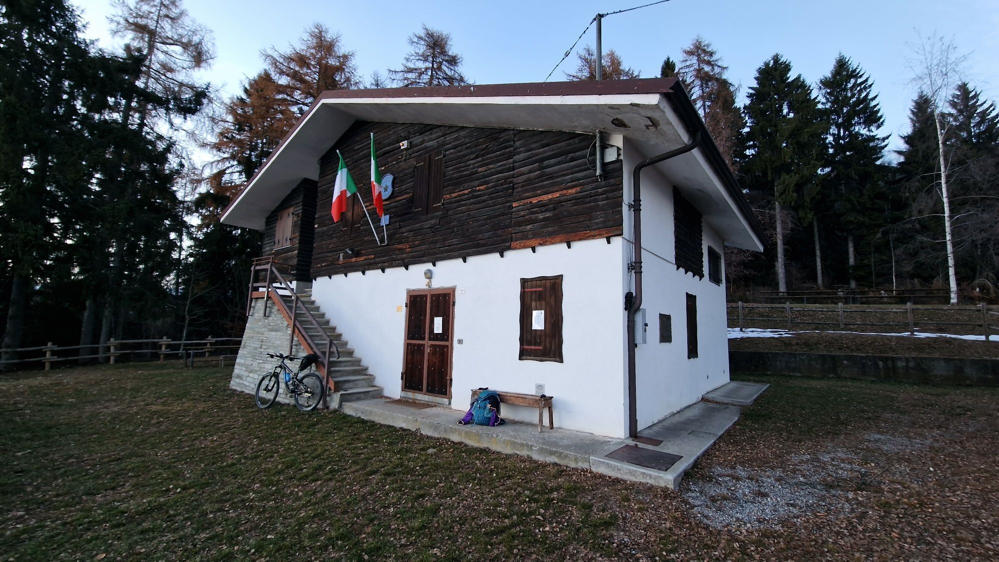
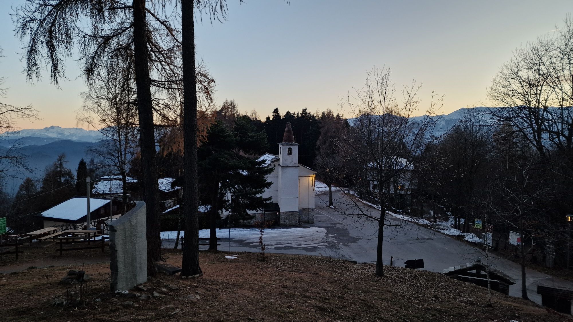
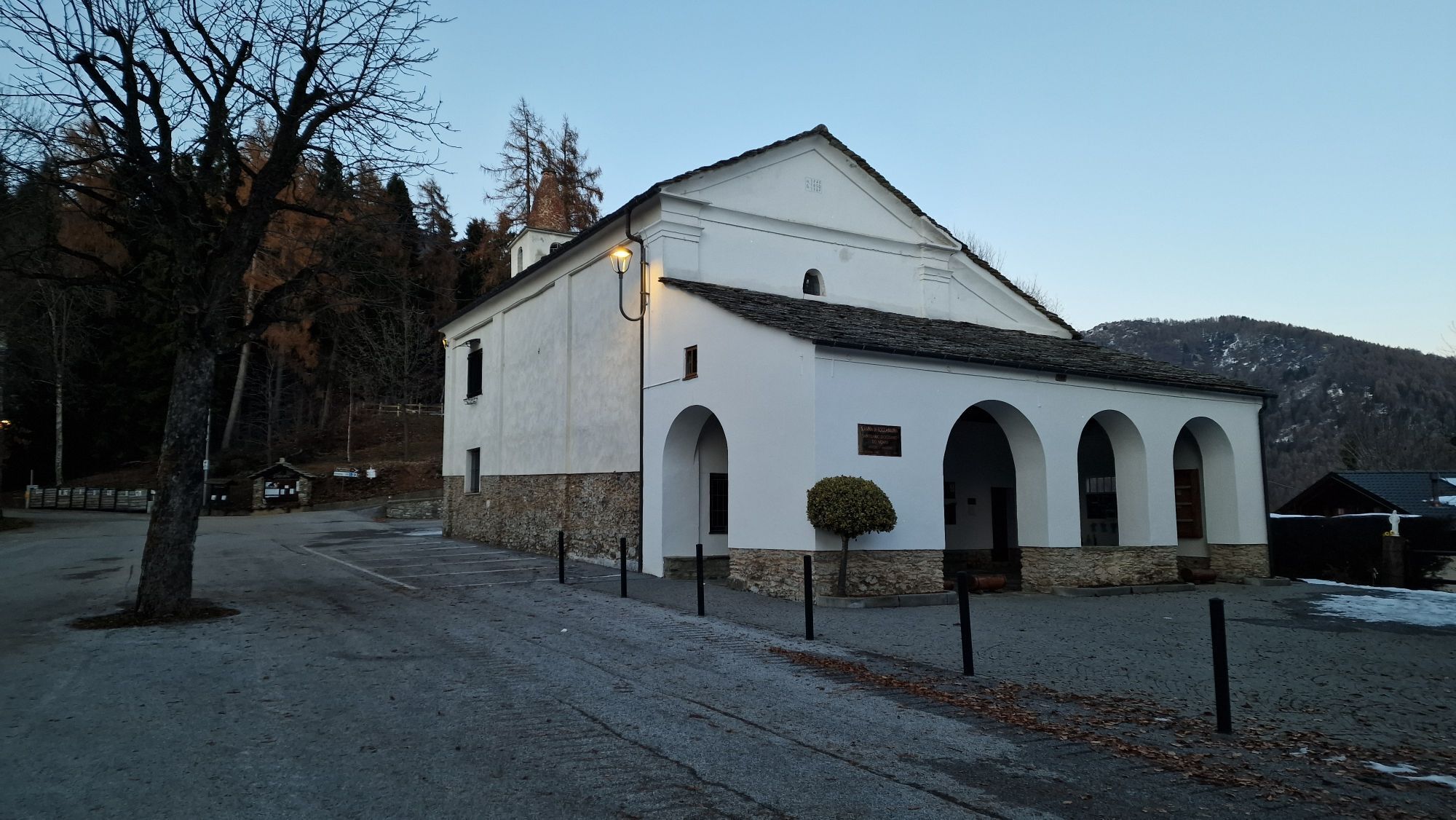
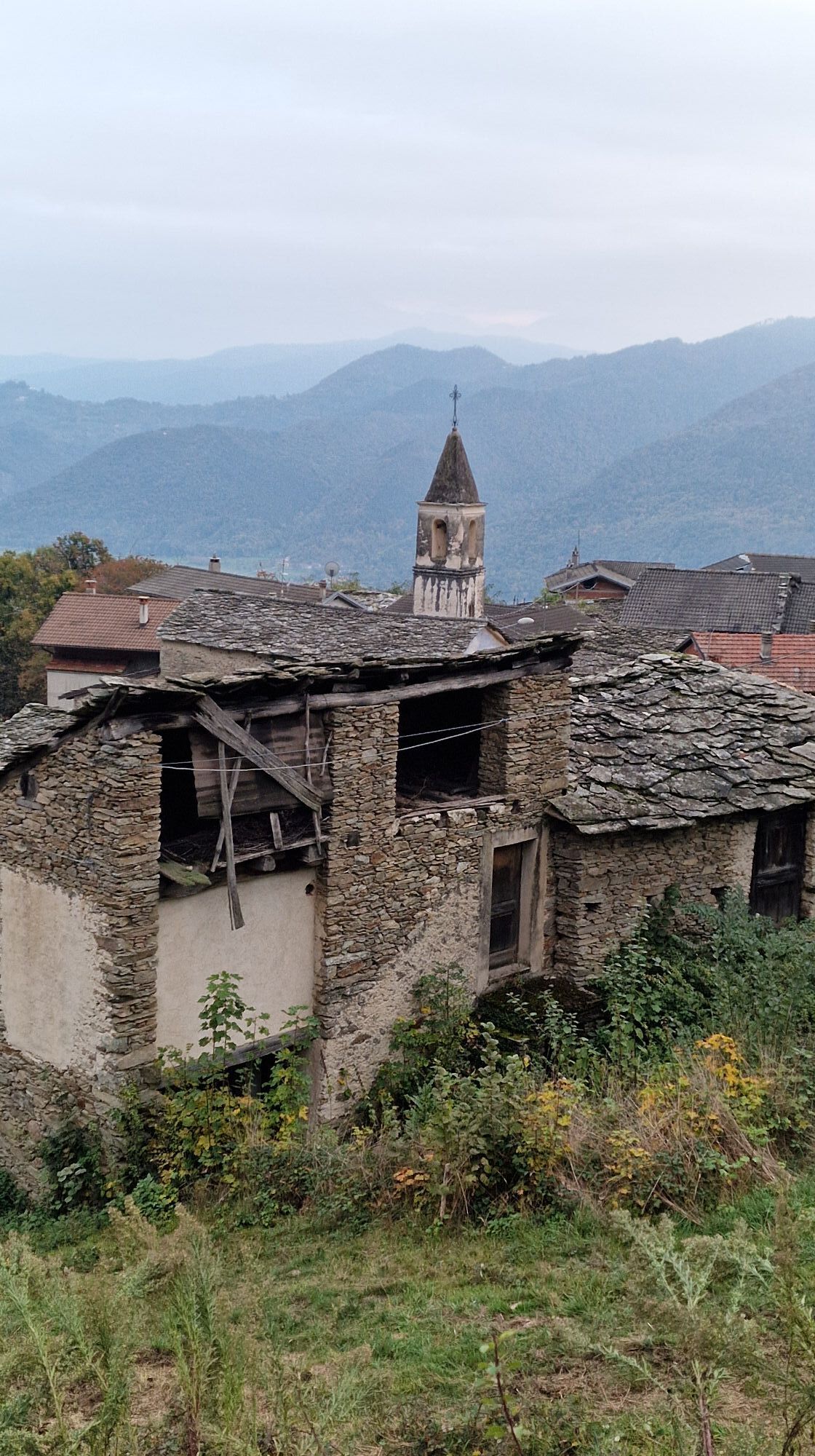
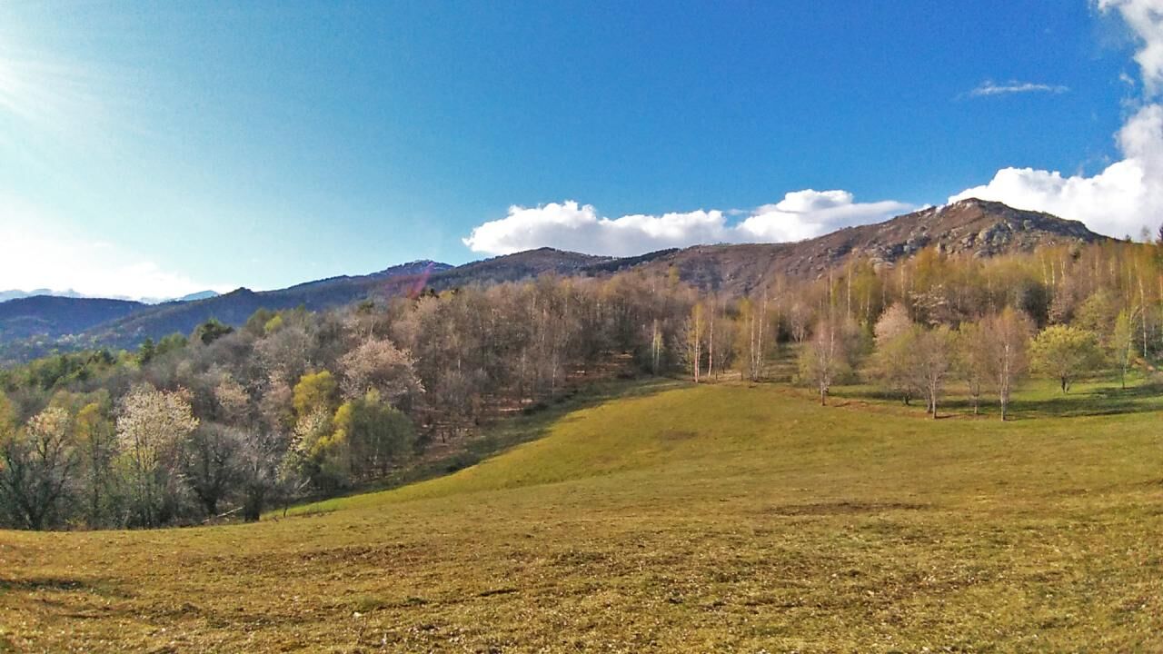
From the Ciciu Nature Reserve, follow via Cervetto to the right and, once you reach the Foresti region, the signs for the “Luca Borgoni” path (athlete who died prematurely on Monte Cervino). The up and down hillside that reaches the ancient sanctuary of San Costanzo al Monte is maintained. Continue to the right, uphill to Pian l'Abà on the border between Dronero and Roccabruna. There are also beautiful views of the upper valley, the slopes of Mount San Bernardo and the Cuneo plain. Among chestnut woods, you reach the "Fontana dell'Asino" (1105 m asl), now dry. Descend towards Cascina Arduini and the hamlet of Oggieri connected by a mule track to the hamlet of Castello. From here the climb becomes steeper, on a forest track and skirts the cliffs of Chastlas. At the crossroads for Valmala, turn left, now in sight of the thick wood of spruce trees of Sant'Anna di Roccabruna.


Copertura cellulare
Vodafone 100%
Dronero, capoluogo della bassa Valle Maira è raggiungibile con mezzi propri o con autobus di linea in partenza da Cuneo capoluogo www.buscompany.it/ati/orari www.benese.it/orari-bus
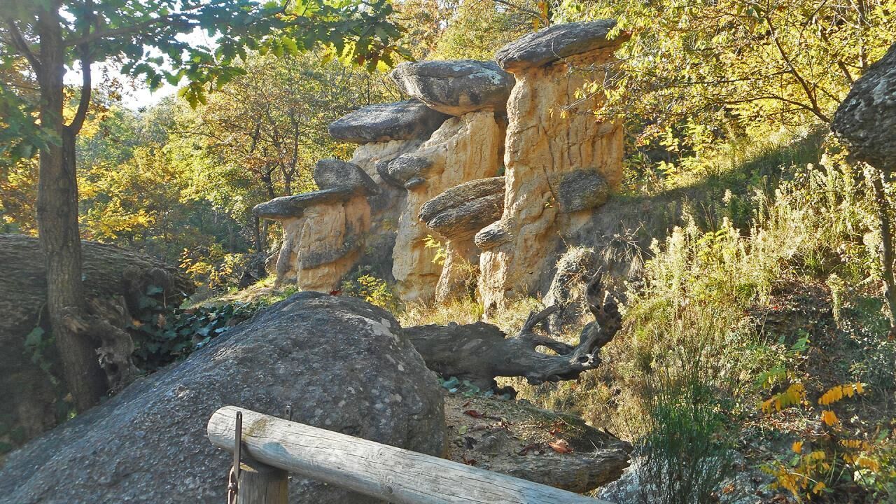
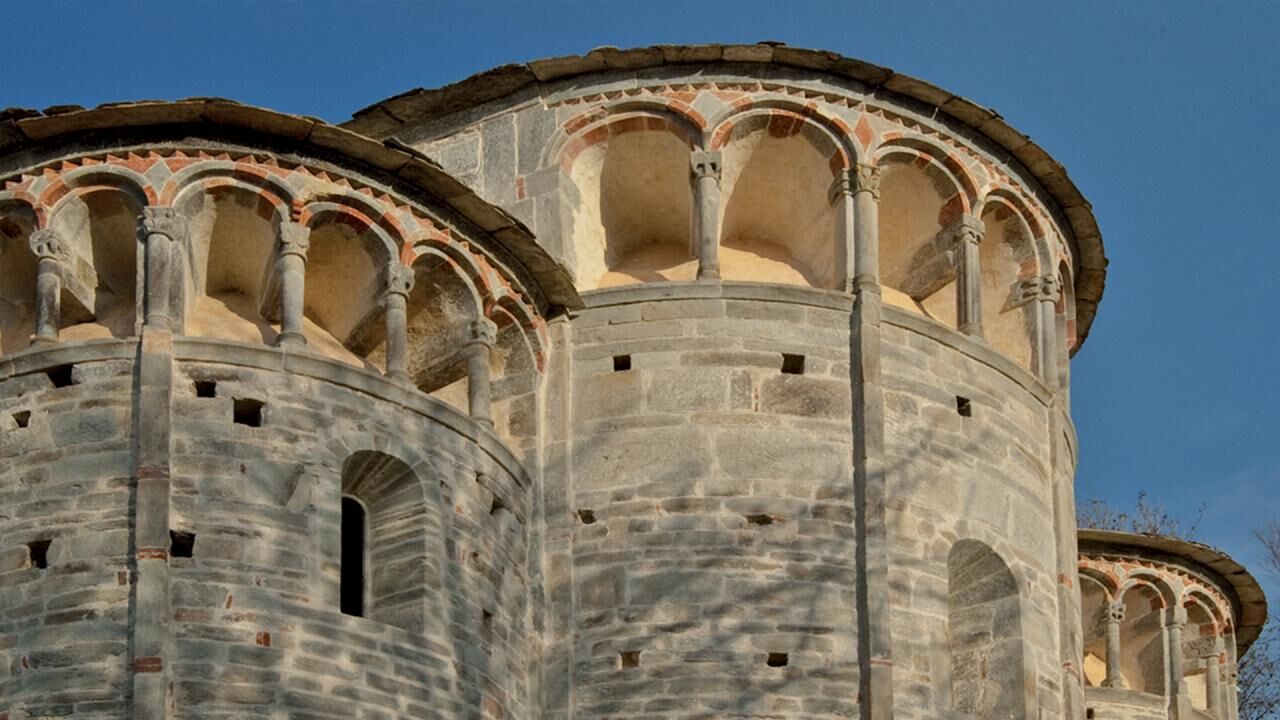
The Ciciu del Villar Nature Reserve represents a geological peculiarity, with the characteristic mushroom-shaped erosion columns that make it unique in its kind. The Abbey of San Costanzo al Monte is located just north of the village of Dronero, on the southern slope of Monte San Bernardo, in the municipality of Villar San Costanzo: one of the most important sacred buildings in the Province of Cuneo, it dates back to around the 12th century and it is an example of Lombard Romanesque style.
Popularne wycieczki w okolicy
-
4,0
Historic Mountain Routes | Cannon Road
ciężkiMountainbike 43,2 km -
5,0
Strada dei Cannoni
średniWędrówka 56,1 km -
Along the roads of champions
ciężkiDroga rowerowa 173,6 km -
Occitan Routes: Stage 3 Pagliero hamlet of San Damiano Macra - Camoglieres hamlet
średniWędrówka 10,6 km -
Occitan Routes: Stage 2 Frazione Sant'Anna di Roccabruna - Frazione Pagliero di San Damiano Macra
średniWędrówka 8,49 km -
Valle Varaita Trekking
średniWędrówka 170,2 km -
GTA: Stage 57 Borgata Chiesa di Celle di Macra - Santuario San Magno
średniWędrówka 14,6 km -
Val Varaita Trekking: Tappa 12 Venasca - Costigliole Saluzzo
średniWędrówka 18,1 km -
Percorsi Occitani: Tappa 15 Cartignano - Dronero
średniWędrówka 7,82 km -
Maritime Alps Park | "Ciciuvagando" to discover stone mushrooms
średniTrasa tematyczna 1,24 km
Wędrówki i tropienie


Nie przegap ofert i inspiracji na następne wakacje
Twój adres e-mail została dodana do listy mailingowej.





