Nawigacja
Pobierz tę trasę na swój telefon komórkowy
Mapa
Along the roads of champions

ciężki
Droga rowerowa
173,65 km
Zeskanuj kod QR i rozpocznij nawigację w aplikacji bergfex.
QR Code
Wędrówki i tropienie

Along the roads of champions
Odległość
173,6 km
Czas trwania
13:51 h
Ascent
3 734 hm
Poziom morza
441 - 2 482 m
Ścieżka do pobrania
Mapa
Along the roads of champions
ciężki
Droga rowerowa
173,65 km

Zdjęcia naszych użytkowników

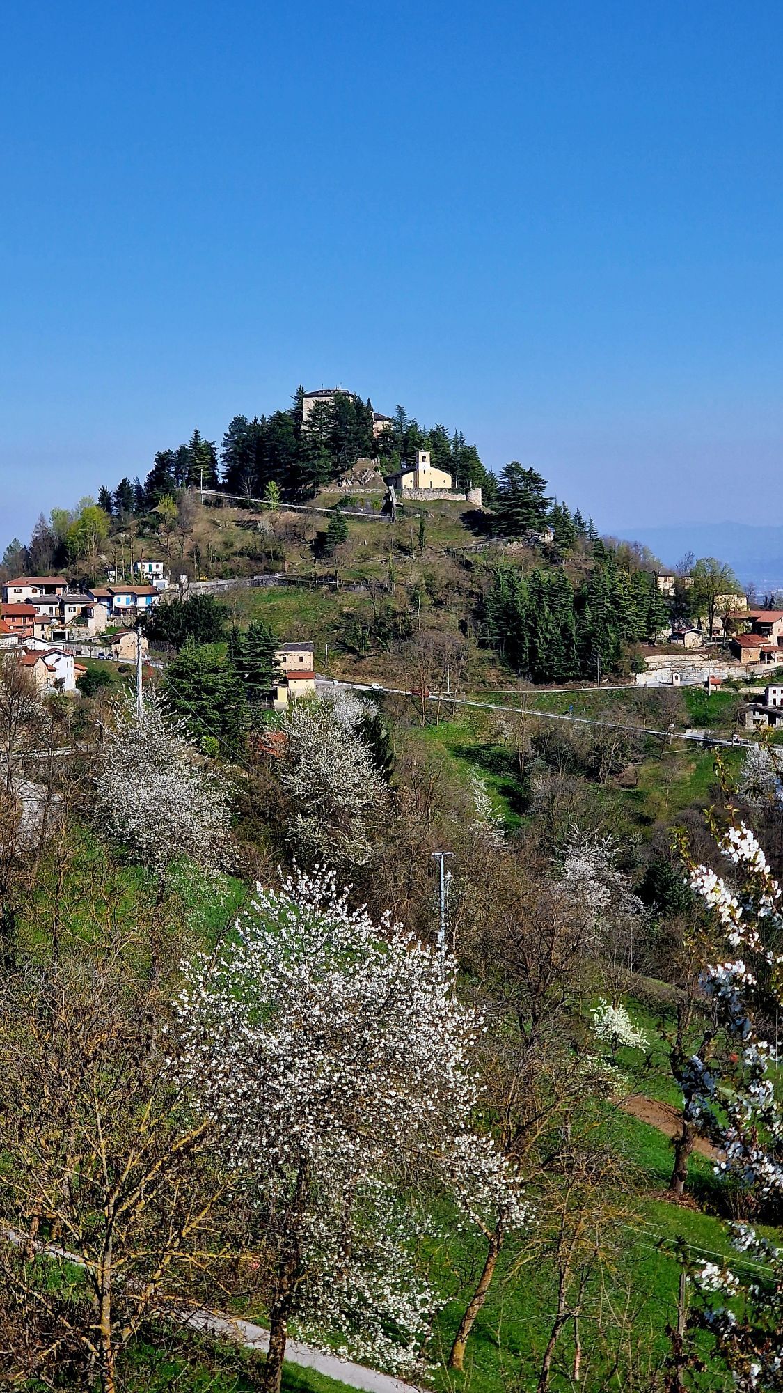
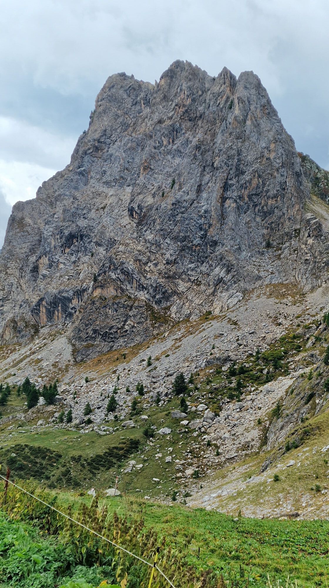
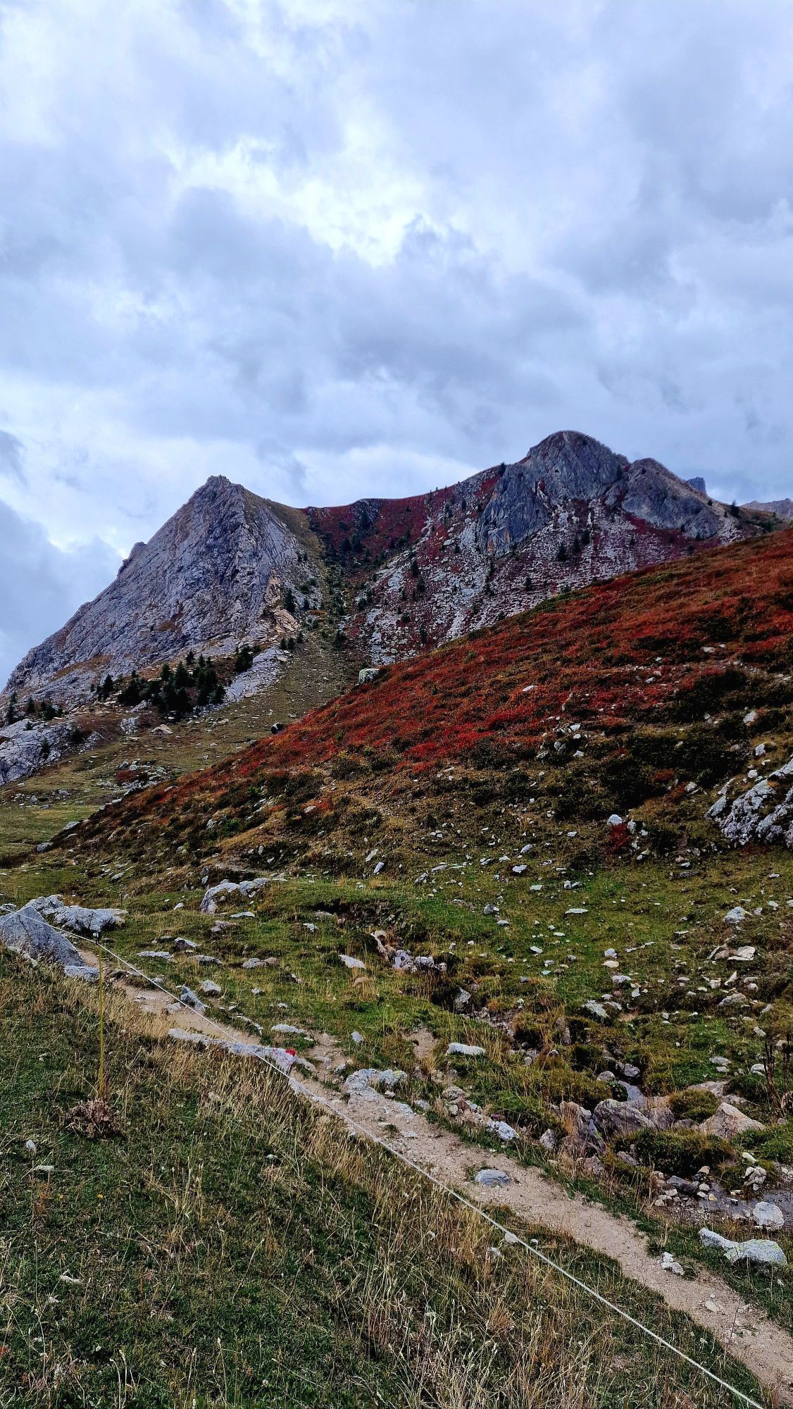
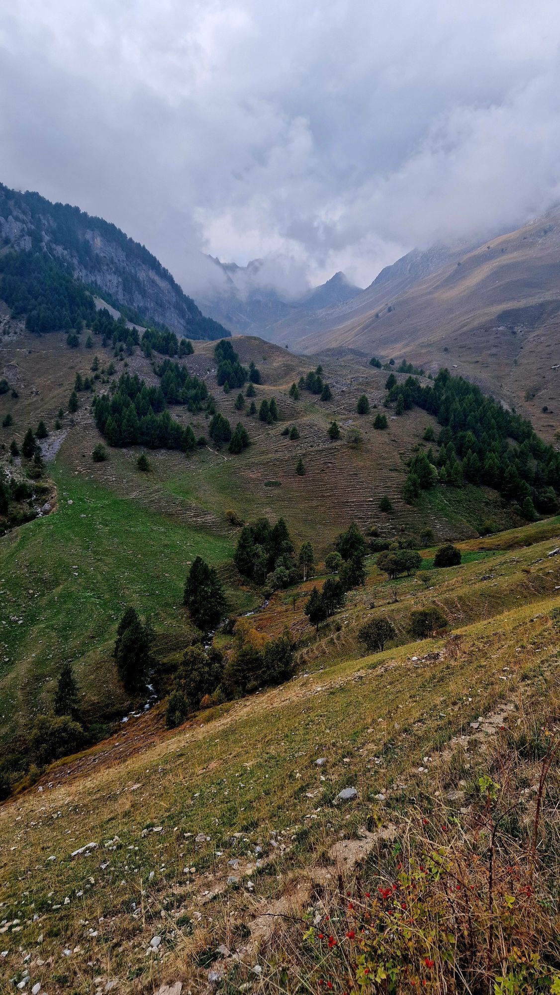
This intense route will take you to some interesting and paradise-like places. It is quite a tough route with an initial climb that reaches 2511m at Colle Fauniera or Colle dei Morti. From Pradleves...

Opis
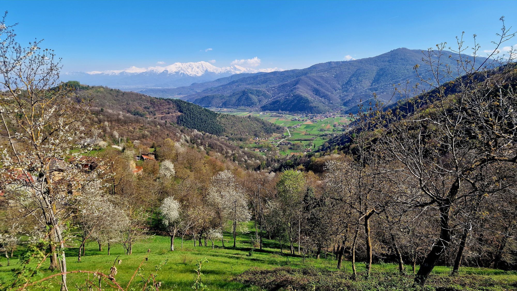
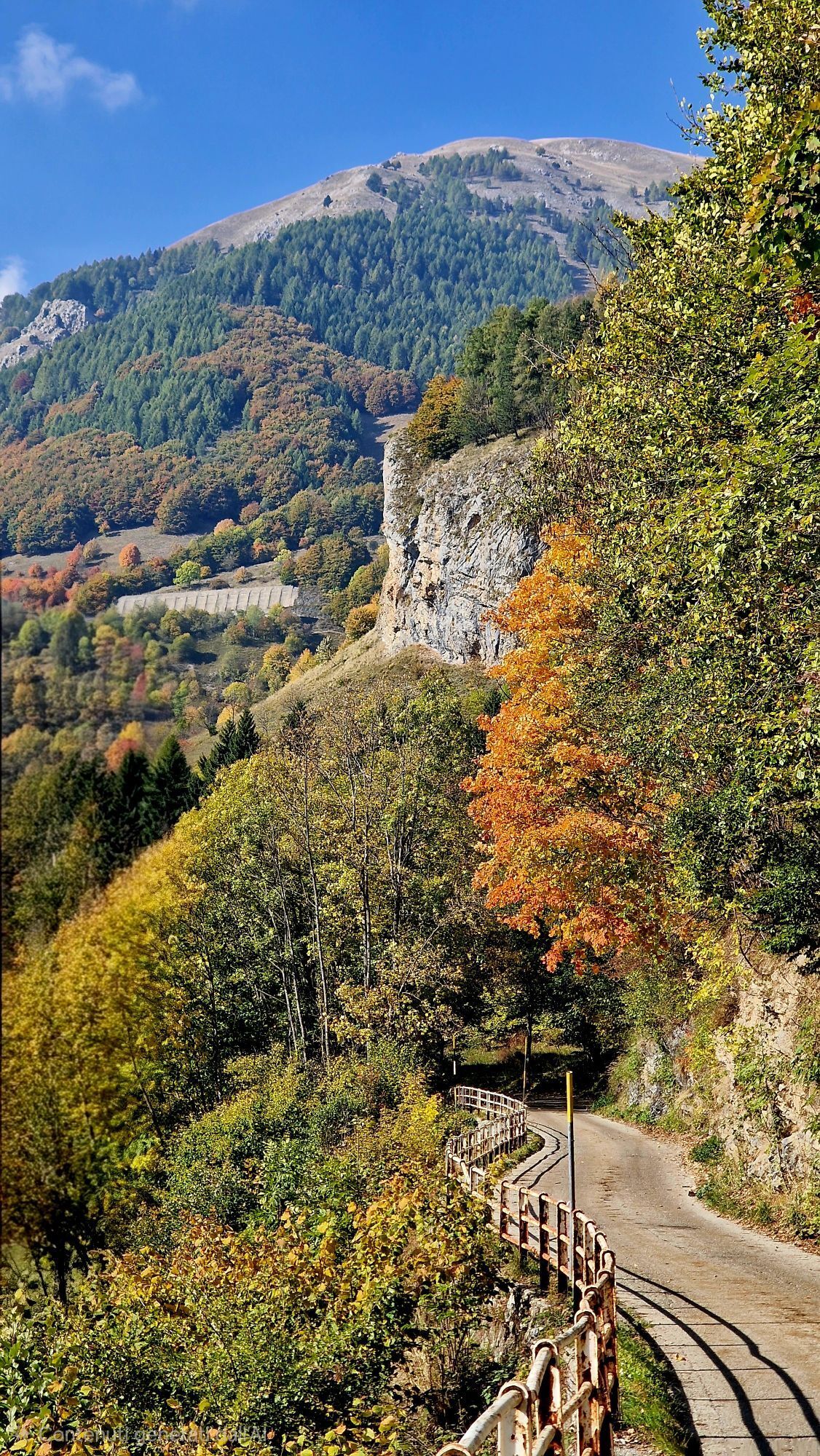
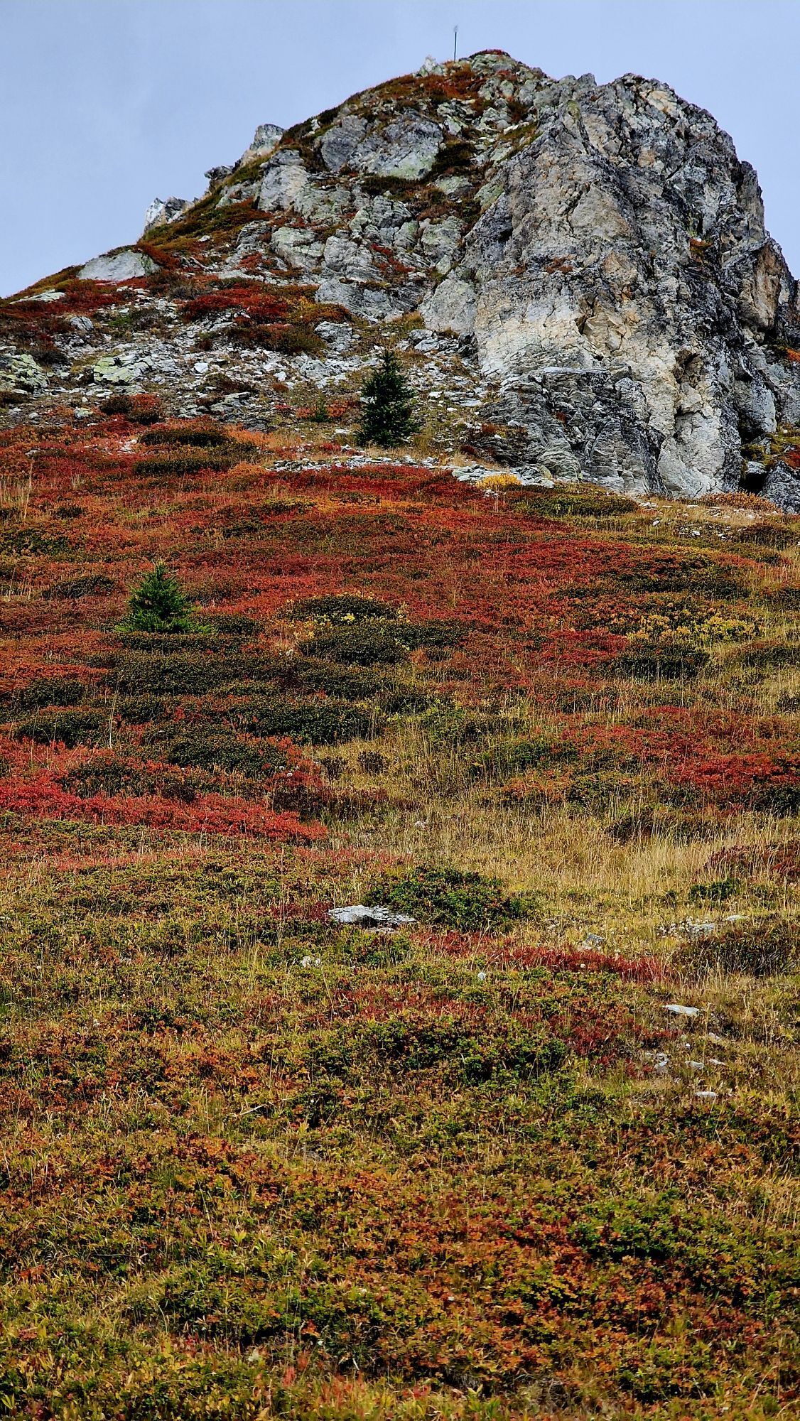
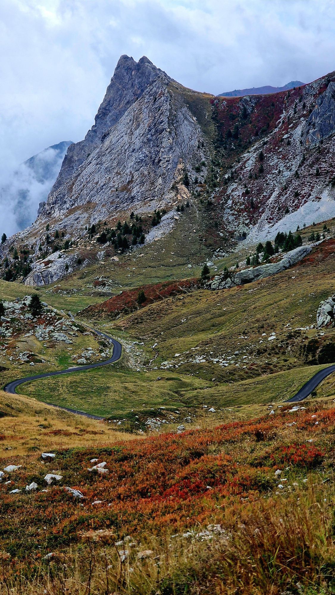
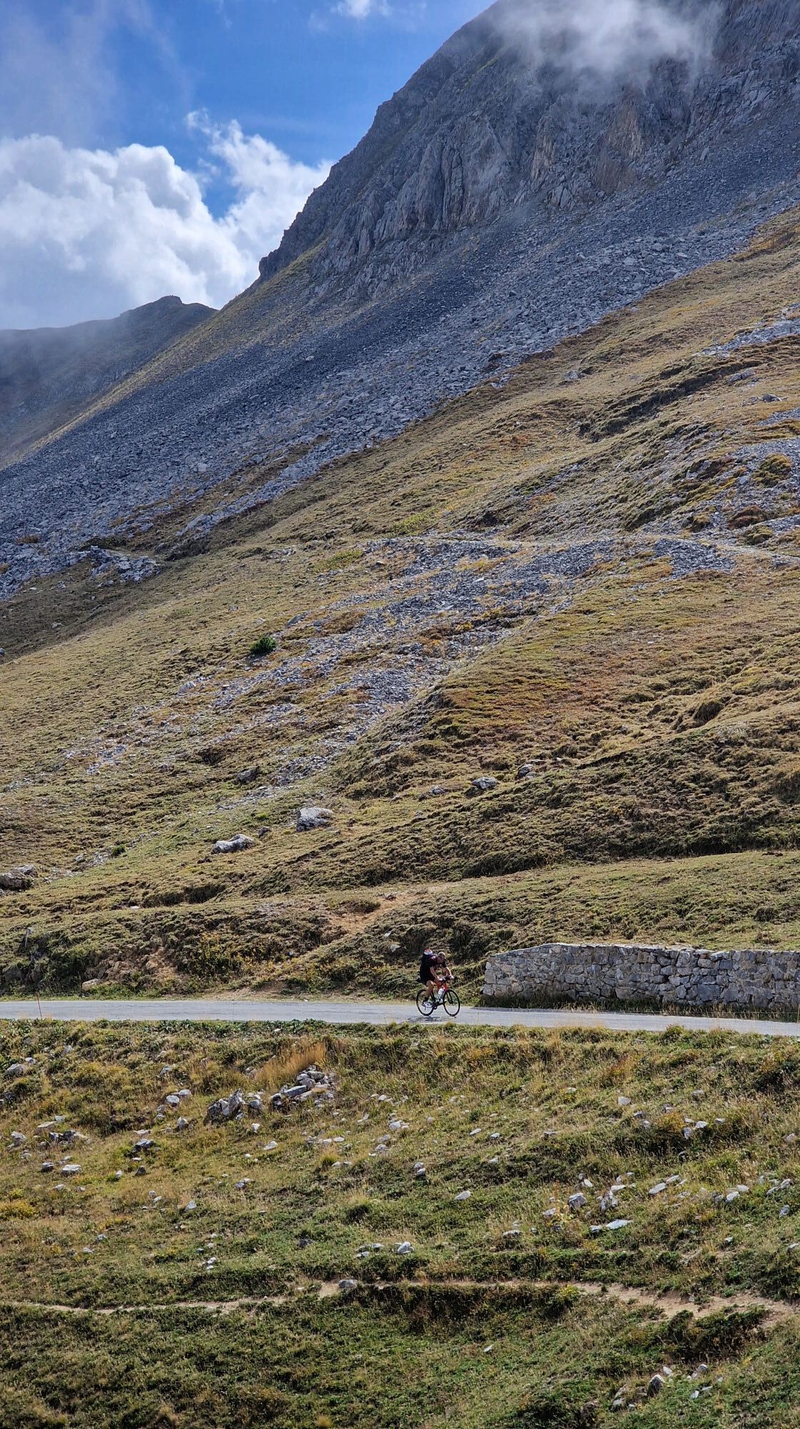
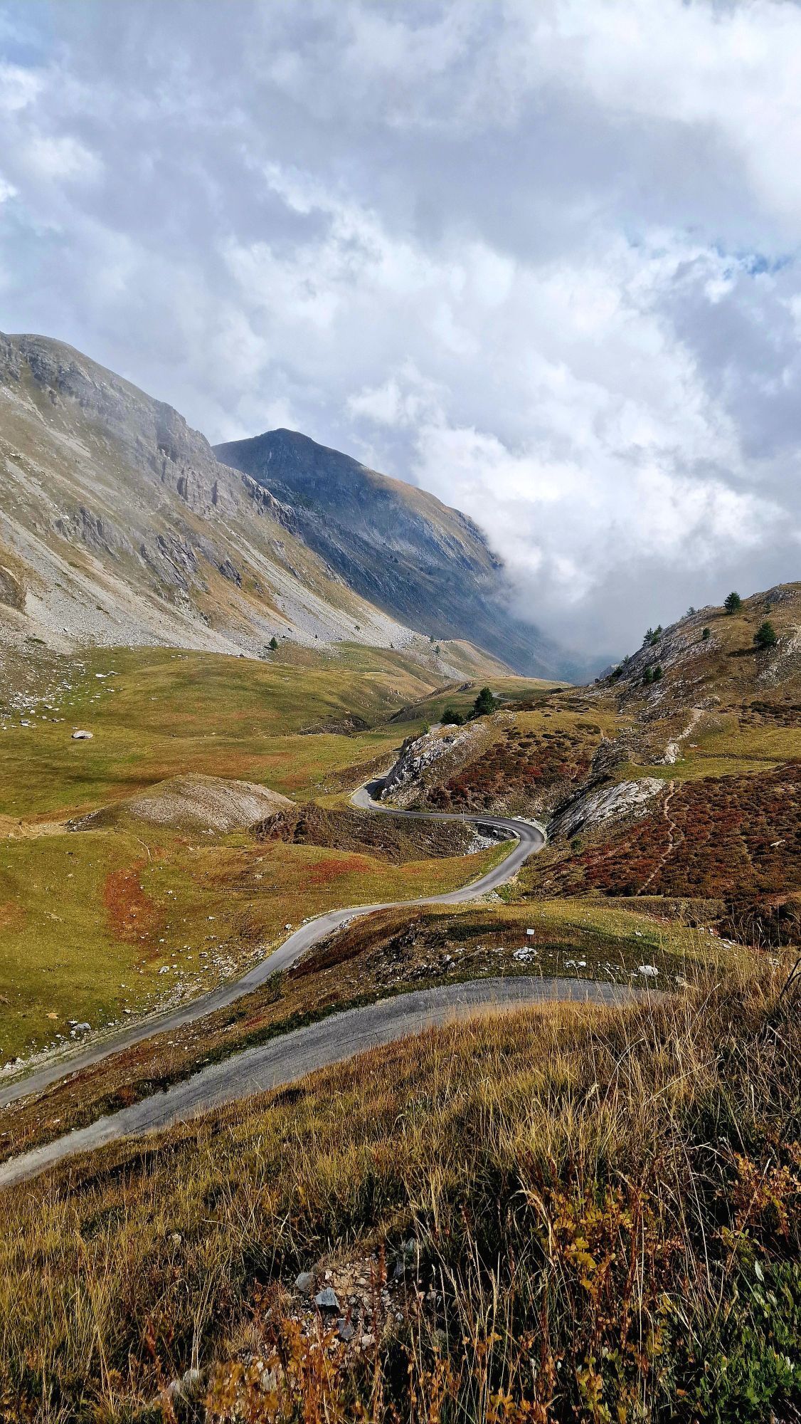
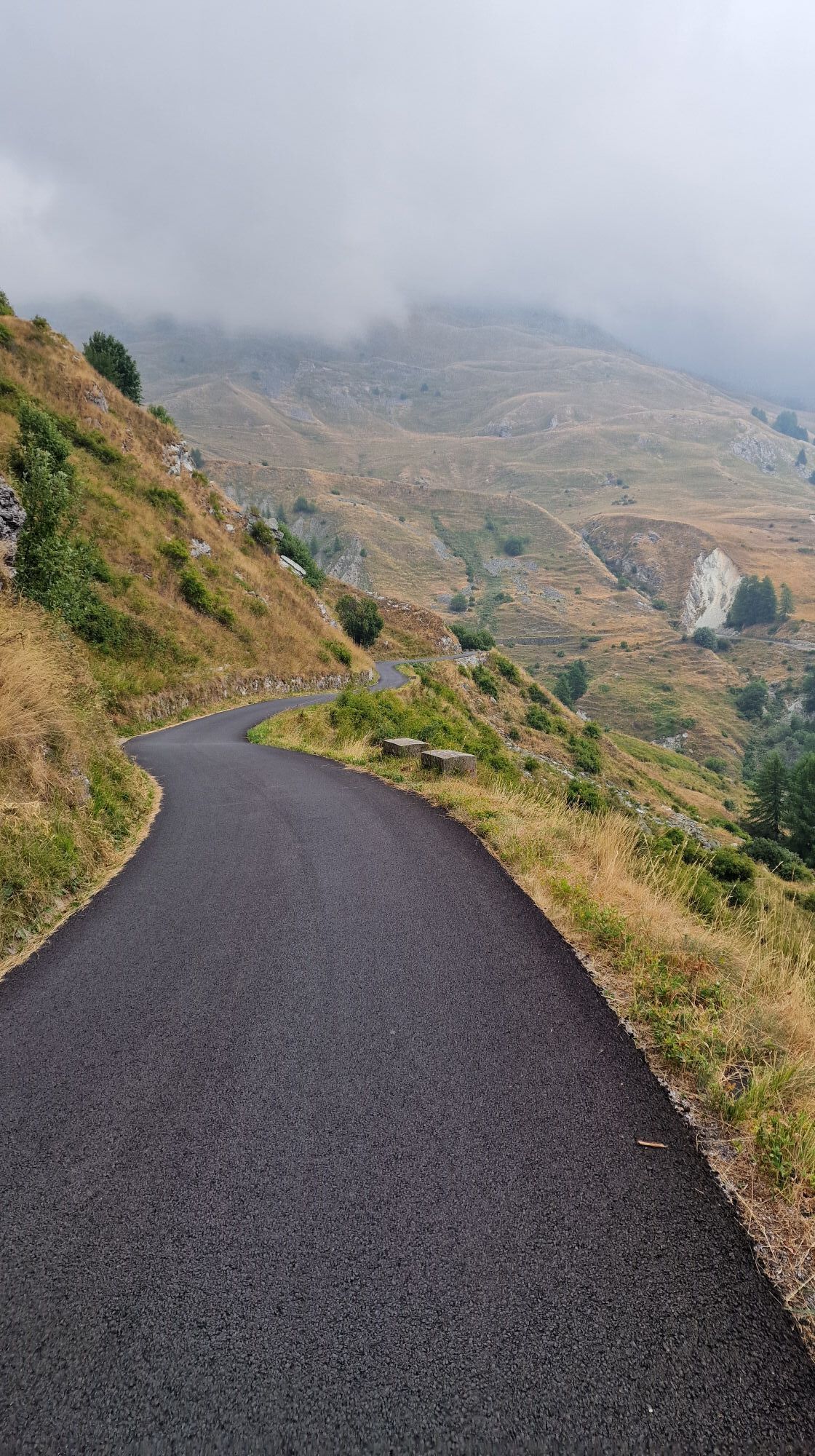
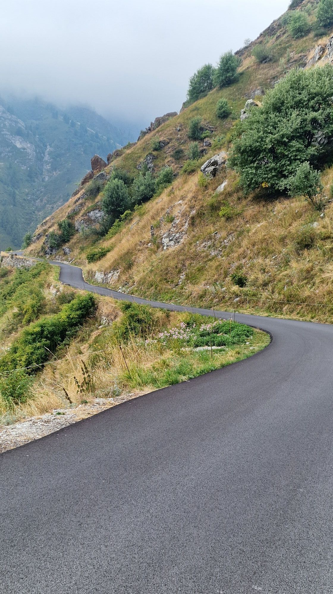
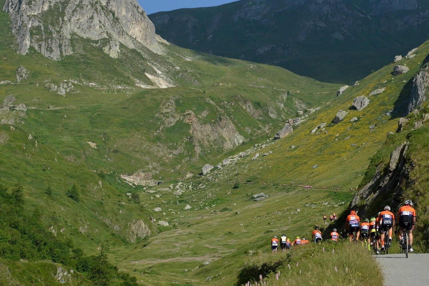
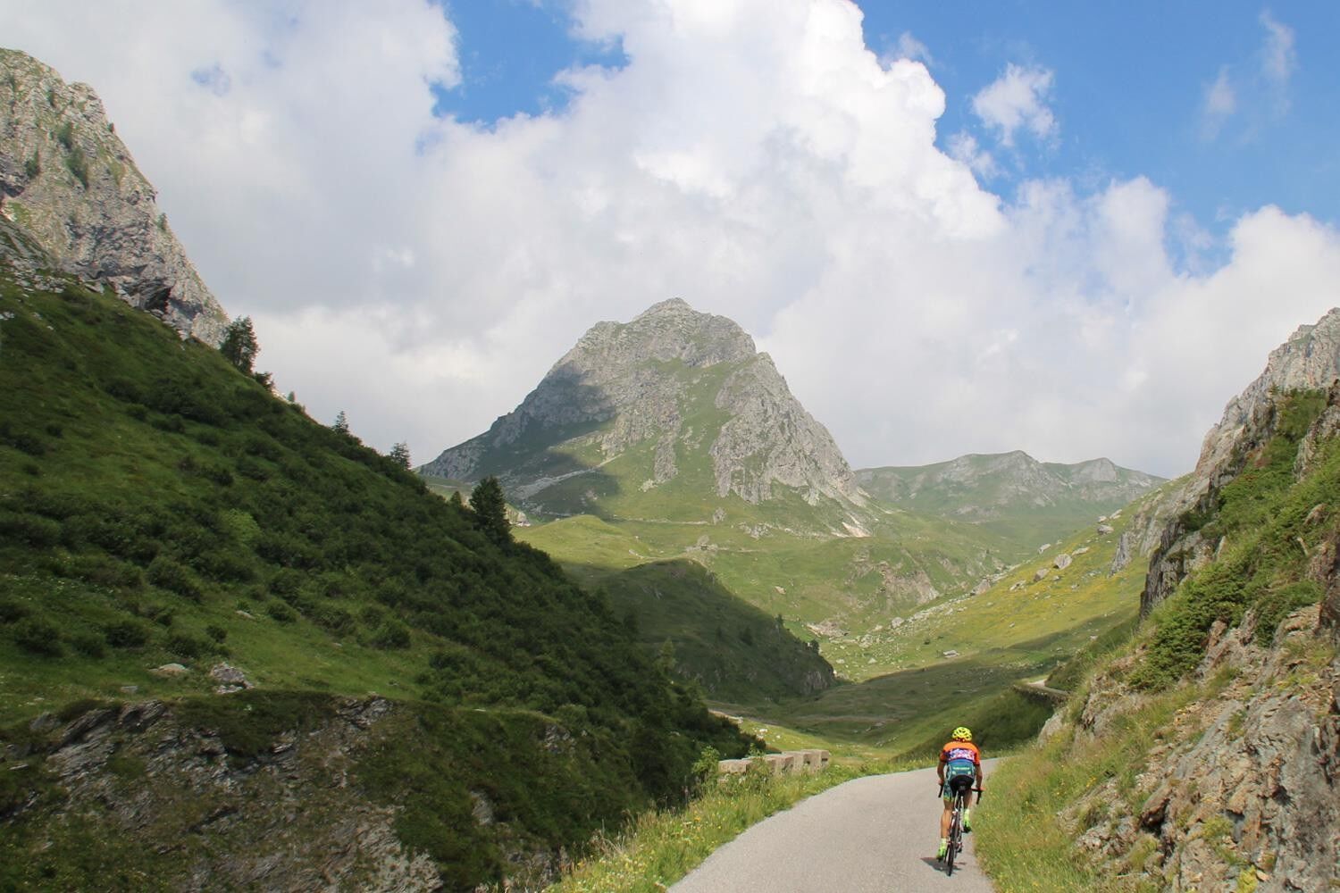
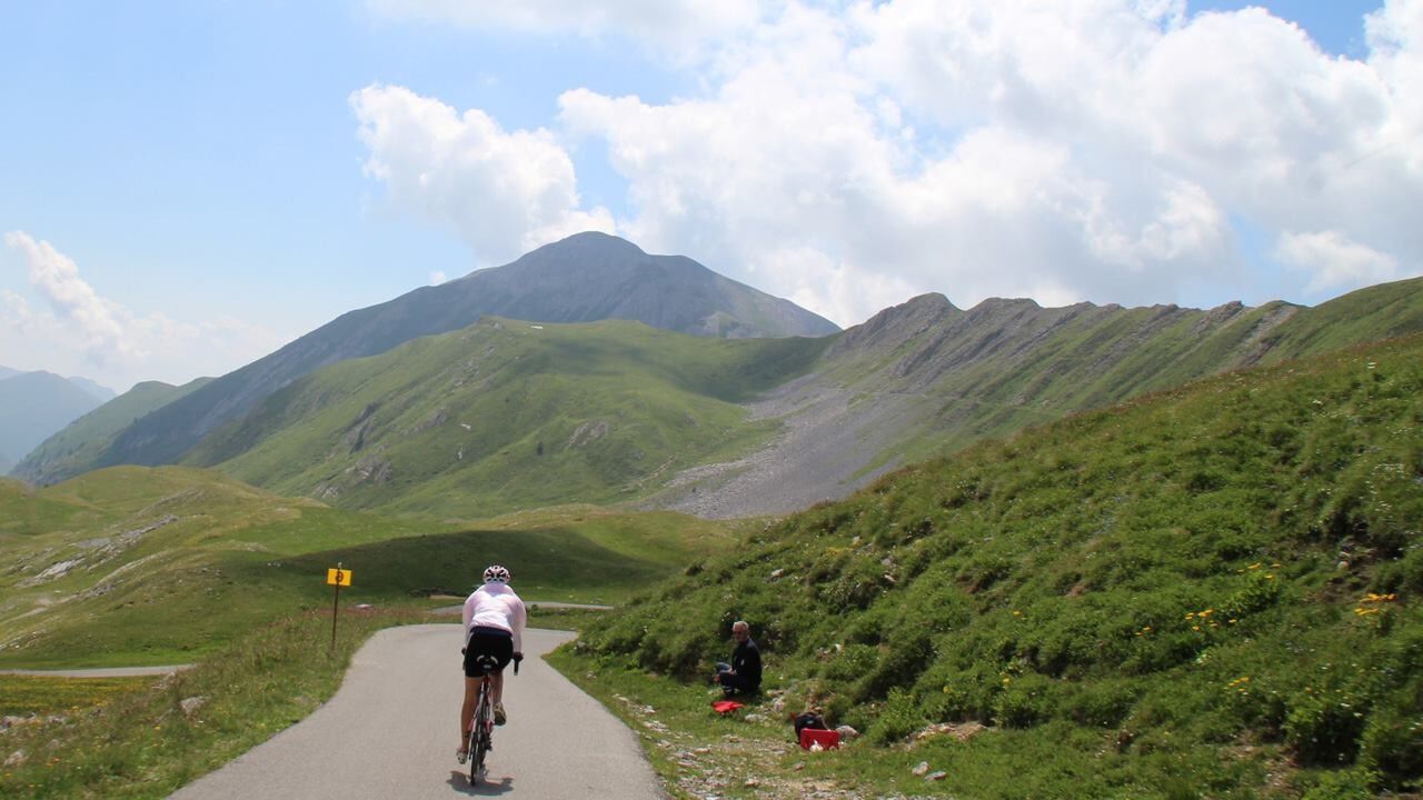
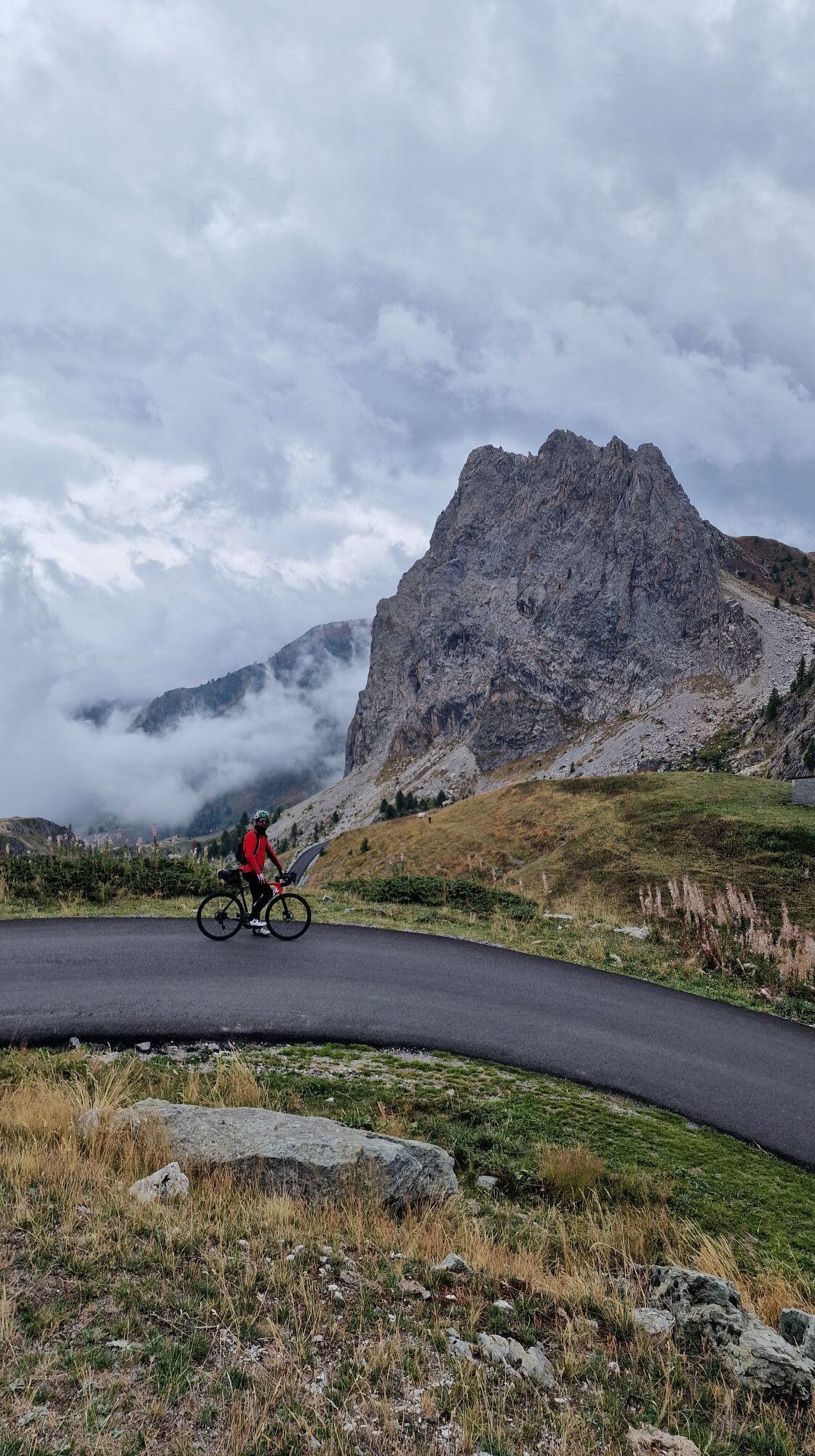
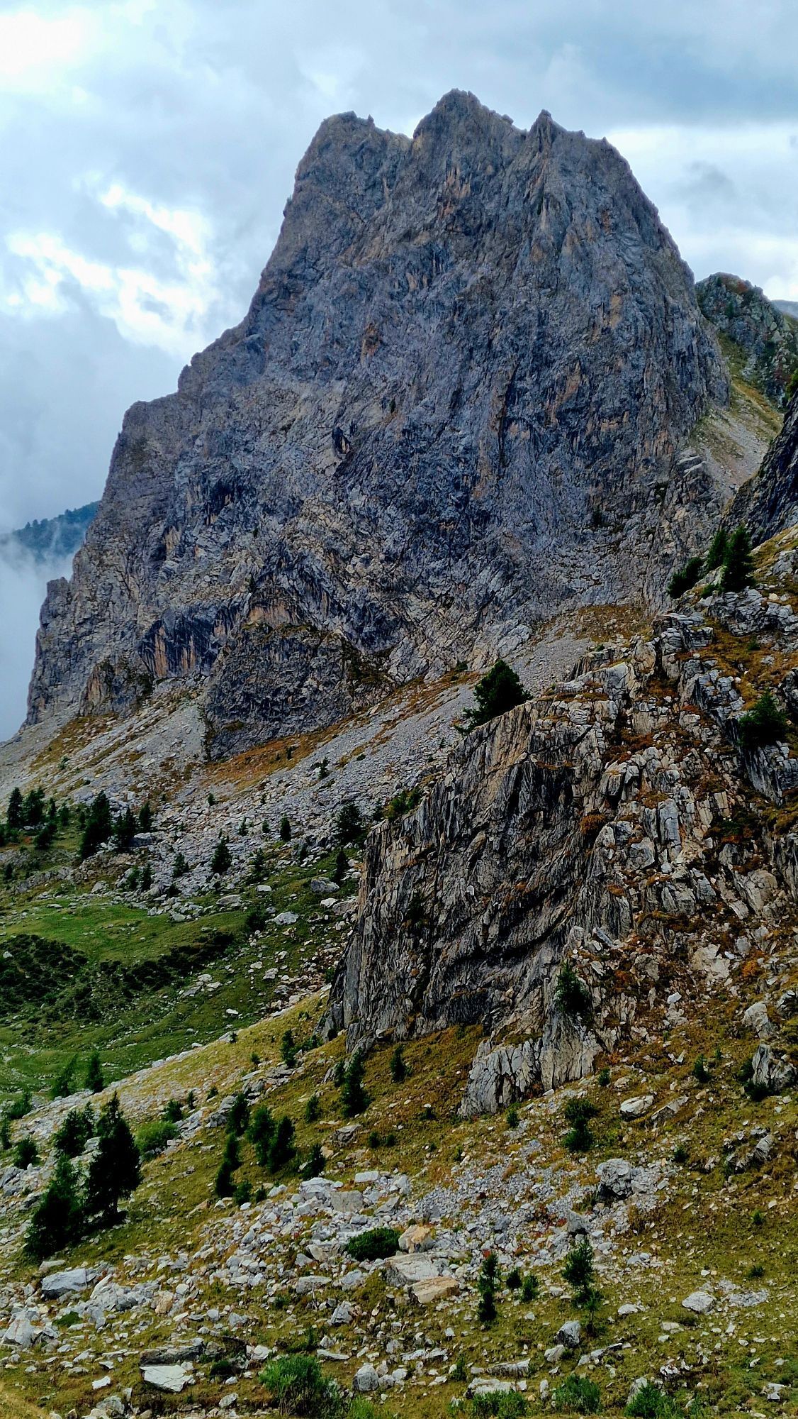
This intense route will take you to some interesting and paradise-like places. It is quite a tough route with an initial climb that reaches 2511m at Colle Fauniera or Colle dei Morti. From Pradleves (meaning field of water, of the springs in local dialect) you reach a narrow valley that follows the stream. From the crossroads for the hamlet of Colleto, the route is steep, although less so around Chiappi. It climbs again around the San Magno sanctuary and continues to climb with sharp hairpin turns, especially for the last few kilometres. The descent towards Demonte is roughly 21km.

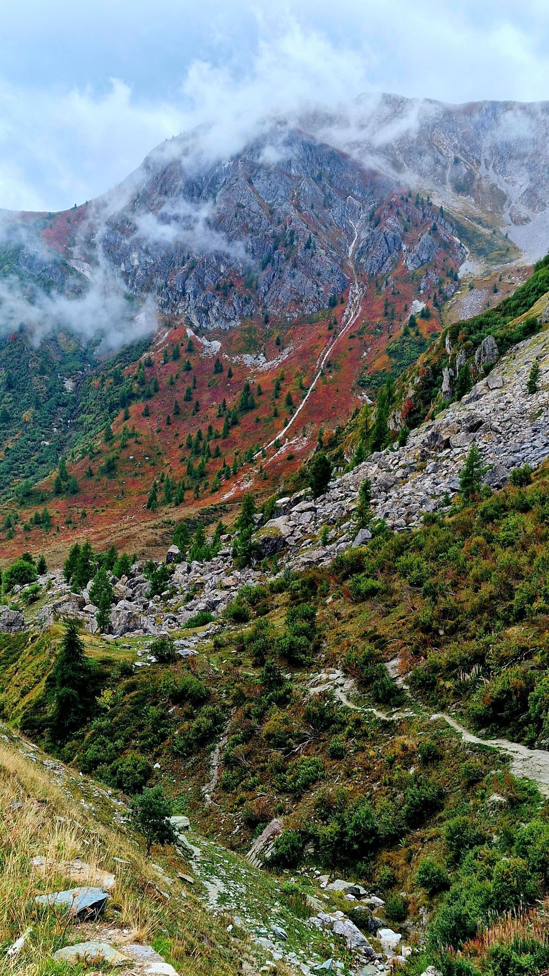
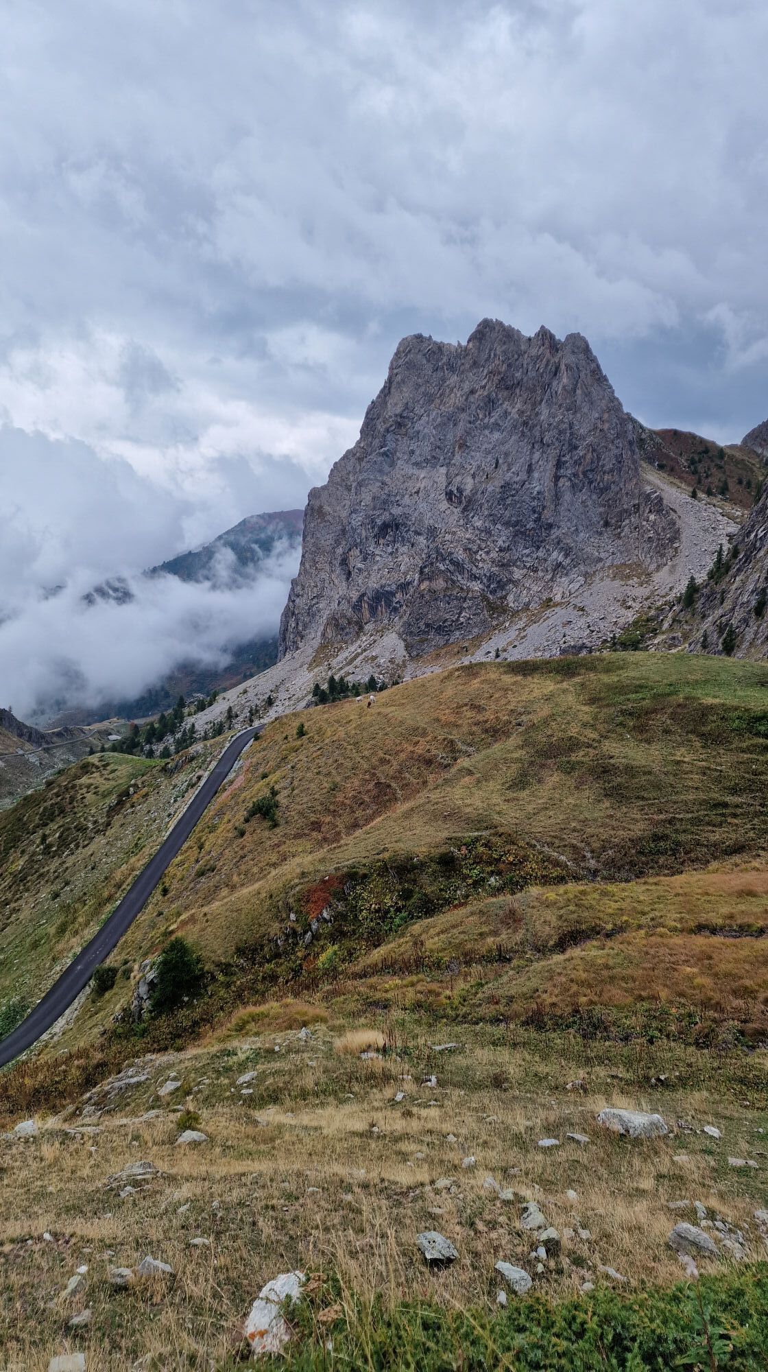
The name Colle dei Morti, meaning Hills of the dead (known as Colle Fauniera) derives from a bloody dual in the 17thCentury between the Franco-Spanish and Piedmontese troops in the surrounding valleys. It involves a climb, but more significantly, a descent made famous by the Giro d’Italia – in 1999, Paolo Savoldelli won, attacking exactly at this part of the race.

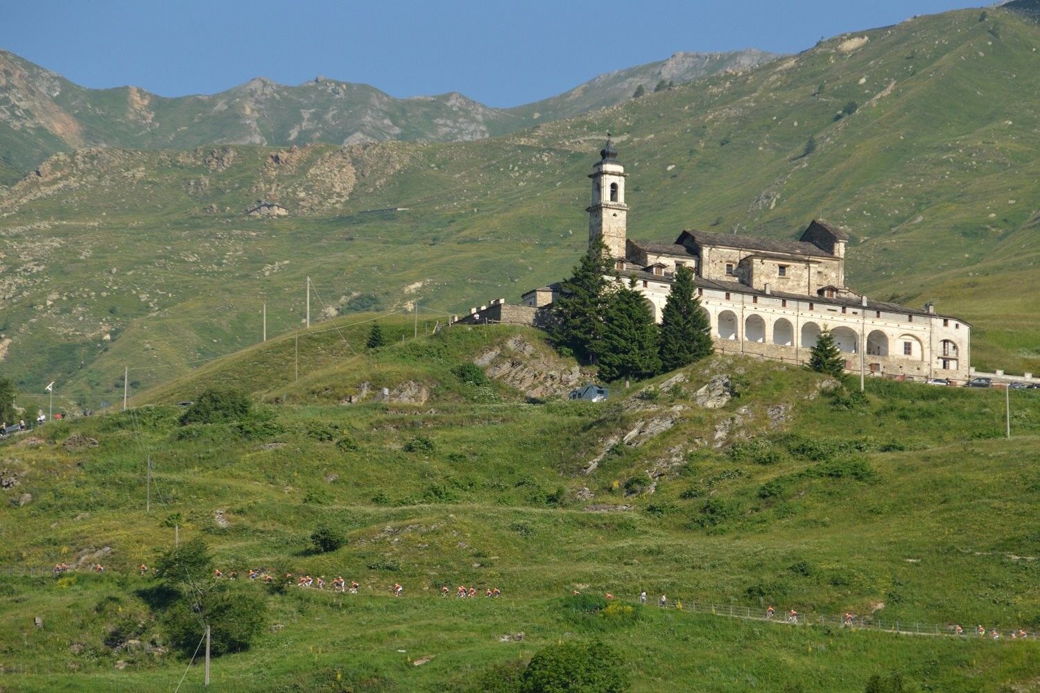
The route passes Castelmagno , the highest comune of Valle Grana, part of the Occitan Valleys and an important part of the Grande Traversata delle Alpi. By Claudio Pasero and Daniela Pestarino

Trasa
Santuario della Madonna dell'Olmo
(514 m)
Miejsce kultu
3,3 km
Chiesa parrocchiale San Giovanni Battista
(822 m)
Miejsce kultu
38,9 km
Colletto di Rossana
(617 m)
Przełęcz górska
59,5 km
Madonna della Neve
(1 141 m)
Miejsce kultu
79,7 km
San Bernardo da Mentone
(1 455 m)
Miejsce kultu
100,1 km
Rifugio Maraman
(1 775 m)
Schronienie
103,2 km
Santuario Madonna degli Angeli
(564 m)
Miejsce kultu
170,6 km
Trasa
Mapa
Along the roads of champions
ciężki
Droga rowerowa
173,65 km
Cuneo
(534 m)
Miasto
0,0 km
Sala del Regno dei Testimoni di Geova
(502 m)
Miejsce kultu
0,7 km
Santuario della Madonna dell'Olmo
(514 m)
Miejsce kultu
3,3 km
Madonna dell'Olmo
(513 m)
Wioska
3,3 km
Pizzeria Sorrento
(511 m)
Restauracja
4,2 km
Roata Rossi
(493 m)
Wioska
6,3 km
Roata Caporalina
(484 m)
Rozliczenie
6,7 km
Cascina Grilli
(481 m)
Rozliczenie
8,7 km
Osteria il Chiosco
(495 m)
Restauracja
11,0 km
Saloon Risto Pizza Pub
(489 m)
Restauracja
11,2 km
San Chiaffredo
(493 m)
Wioska
11,9 km
Cascina Sant'Anna
(494 m)
Rozliczenie
12,7 km
San Rocco
(491 m)
Rozliczenie
14,5 km
Busca
(495 m)
Miasto
15,7 km
Sherwood Pub
(482 m)
Restauracja
17,4 km
Gli Angeli
(445 m)
Restauracja
21,1 km
Chiesa della Confraternita dell'Ascensione
(458 m)
Miejsce kultu
22,0 km
Costigliole Saluzzo
(455 m)
Wioska
22,0 km
Cappella Sant'Anna
(472 m)
Miejsce kultu
23,9 km
Piasco
(480 m)
Wioska
24,2 km
Pizzeria Stella Polare
(482 m)
Restauracja
24,6 km
Foodcontainer
(488 m)
Restauracja
25,1 km
San Bartolomeo
(535 m)
Rozliczenie
29,0 km
Venasca
(554 m)
Wioska
30,1 km
Aquila Nera
(595 m)
Restauracja
32,9 km
Brossasco
(605 m)
Wioska
33,3 km
Cappella San Rocco
(603 m)
Miejsce kultu
33,3 km
Valcurta
(682 m)
Rozliczenie
35,8 km
Chiesa parrocchiale San Giovanni Battista
(822 m)
Miejsce kultu
38,9 km
Valmala
(831 m)
Rozliczenie
39,1 km
Trattoria Aurora
(835 m)
Restauracja
39,1 km
Chiot Martin
(982 m)
Rozliczenie
40,0 km
Gian Giuli
(1 375 m)
Restauracja
45,0 km
Pian Pietro
(1 349 m)
Korytarz/teren
46,4 km
Fontana Fredda
(1 301 m)
Źródło
46,9 km
L'Antica Locanda
(1 005 m)
Restauracja
49,9 km
Trattoria della Posta
(1 003 m)
Restauracja
49,9 km
Lemma
(998 m)
Rozliczenie
50,0 km
Santuario di Lemma
(1 001 m)
Miejsce kultu
50,0 km
Tolosano
(948 m)
Rozliczenie
50,7 km
Lucchi
(928 m)
Rozliczenie
51,0 km
Barbero
(867 m)
Rozliczenie
52,5 km
Magno
(792 m)
Rozliczenie
52,8 km
Ambrosi
(803 m)
Rozliczenie
53,2 km
Santuario di Madonna delle Grazie
(690 m)
Miejsce kultu
54,3 km
Madonna delle Grazie
(691 m)
Rozliczenie
54,4 km
Molino della Valle
(598 m)
Rozliczenie
55,6 km
Prasecco
(569 m)
Rozliczenie
56,2 km
San Sebastiano
(552 m)
Miejsce kultu
56,7 km
Colletto di Rossana
(617 m)
Przełęcz górska
59,5 km
Morra San Bernardo
(537 m)
Rozliczenie
63,1 km
Cappella San Bernardo
(539 m)
Miejsce kultu
63,2 km
Morra del Villar
(575 m)
Wioska
66,3 km
Sant'Anna
(614 m)
Miejsce kultu
68,2 km
Località Rella
(613 m)
Rozliczenie
69,2 km
Dronero
(589 m)
Miasto
70,8 km
Parrocchia Santi Andrea e Ponzio
(611 m)
Miejsce kultu
70,8 km
San Rocco
(610 m)
Miejsce kultu
71,0 km
Saint Brigid
(598 m)
Miejsce kultu
71,3 km
Santuario Madonna di Ripoli
(695 m)
Miejsce kultu
73,5 km
Montemale di Cuneo
(929 m)
Wioska
75,4 km
Bersani
(889 m)
Rozliczenie
75,8 km
Biotto
(1 129 m)
Rozliczenie
78,4 km
Fre
(1 125 m)
Rozliczenie
79,7 km
Madonna della Neve
(1 141 m)
Miejsce kultu
79,7 km
Piatta Soprana
(1 142 m)
Rozliczenie
79,7 km
Cantone
(1 143 m)
Rozliczenie
80,1 km
Brondello
(966 m)
Rozliczenie
81,3 km
Pardosi
(930 m)
Rozliczenie
81,5 km
Cappella di San Sebastiano
(713 m)
Miejsce kultu
85,5 km
A la Posta
(724 m)
Restauracja
85,9 km
AgriCucaracha
(723 m)
Restauracja
85,9 km
Chiesa parrocchiale di San Giacomo Maggiore
(725 m)
Miejsce kultu
85,9 km
Monterosso Grana
(728 m)
Wioska
85,9 km
Aquila Nera
(746 m)
Restauracja
86,3 km
San Giovanni
(766 m)
Miejsce kultu
86,7 km
Levata
(768 m)
Rozliczenie
86,9 km
Borgata Fucina
(769 m)
Rozliczenie
87,0 km
Sant'Antonio
(755 m)
Miejsce kultu
87,5 km
Frazione Istiria
(755 m)
Rozliczenie
87,5 km
Borgata Cascinetta
(771 m)
Rozliczenie
88,0 km
Pradleves
(810 m)
Wioska
89,8 km
San Rocco
(824 m)
Miejsce kultu
89,9 km
Albergo Molino
(814 m)
Restauracja
90,3 km
Colletto
(1 268 m)
Rozliczenie
96,0 km
Campomolino
(1 165 m)
Rozliczenie
97,4 km
San Bernardo da Mentone
(1 455 m)
Miejsce kultu
100,1 km
Chiotti
(1 514 m)
Rozliczenie
100,4 km
Sant'Anna
(1 533 m)
Miejsce kultu
100,5 km
Cappella San Sebastiano
(1 656 m)
Miejsce kultu
102,2 km
Chiappi
(1 675 m)
Rozliczenie
102,3 km
Rifugio Maraman
(1 775 m)
Schronienie
103,2 km
Pont Fonirola
(1 995 m)
Korytarz/teren
106,0 km
Fontana Negra
(2 301 m)
Źródło
109,2 km
Font Niera
(2 305 m)
Korytarz/teren
109,3 km
Madonna Regina Assunta
(2 502 m)
Miejsce kultu
111,5 km
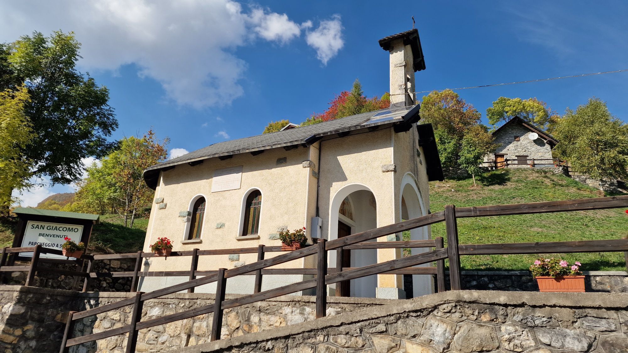
Chiesetta di San Giacomo Apostolo
(1 303 m)
Miejsce kultu
126,3 km
San Giacomo
(1 299 m)
Rozliczenie
126,4 km
Trinità
(1 194 m)
Rozliczenie
129,0 km
Lou Stau
(1 191 m)
Restauracja
129,2 km
Porracchia
(1 161 m)
Rozliczenie
129,5 km
San Maurizio
(1 031 m)
Rozliczenie
131,0 km
Fedio Massolo
(994 m)
Rozliczenie
132,7 km
Fedio Sottano
(944 m)
Rozliczenie
133,2 km
Demonte
(775 m)
Wioska
135,7 km
Sant'Eligio
(726 m)
Miejsce kultu
137,7 km
Festiona
(757 m)
Wioska
140,8 km
Ruà Soprana
(789 m)
Rozliczenie
141,2 km
Borgata Baut
(979 m)
Rozliczenie
143,4 km
Madonna del Colletto
(1 310 m)
Miejsce kultu
146,9 km
Confraternita Santa Croce
(794 m)
Miejsce kultu
152,5 km
Visitazione di Maria
(792 m)
Miejsce kultu
152,8 km
Trattoria La Locanda del Falco
(777 m)
Restauracja
153,7 km
Valdieri
(787 m)
Wioska
153,8 km
San Giovanni
(745 m)
Miejsce kultu
154,9 km
Ruota 2
(712 m)
Restauracja
156,9 km
Trattoria La Pernice
(678 m)
Restauracja
159,6 km
Antica Trattoria Gabri
(677 m)
Restauracja
159,7 km
Tetto Miola
(656 m)
Rozliczenie
161,7 km
Borgo San Dalmazzo
(639 m)
Miasto
163,8 km
Cappella della Crocetta
(593 m)
Miejsce kultu
168,2 km
Santuario Madonna degli Angeli
(564 m)
Miejsce kultu
170,6 km
Cuneo
(534 m)
Miasto
173,5 km
Informacje o wycieczce

The magic of pedaling on the roads of the Giro d'Italia and the Tour de France in the heart of the Maritime Alps.

Technologia
n.d.
Stan
6 / 6
Krajobraz
n.d.
Doświadczenie
n.d.
Najlepsza pora roku
Sty
Lut
Mar
Kwi
Maj
Cze
Lip
Sie
Wrz
Paź
Lis
Gru
Udostępnij trasę
Mapa
Along the roads of champions
ciężki
Droga rowerowa
173,65 km
Błąd
Wystąpił błąd. Spróbuj ponownie.
Informacje o trasie
Trasa
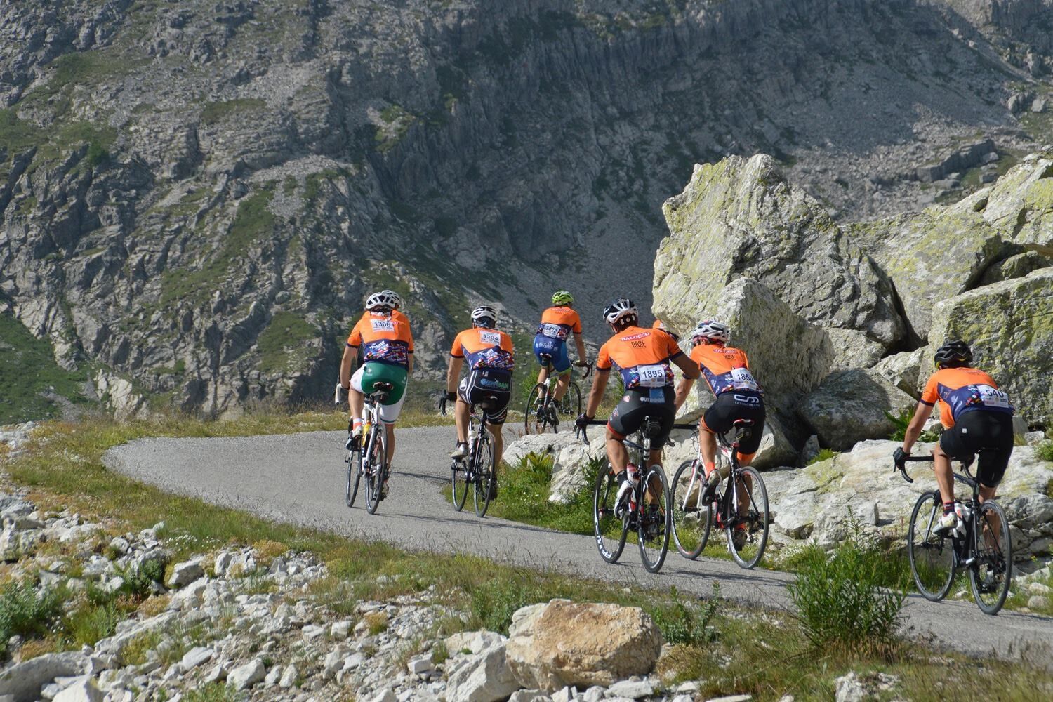
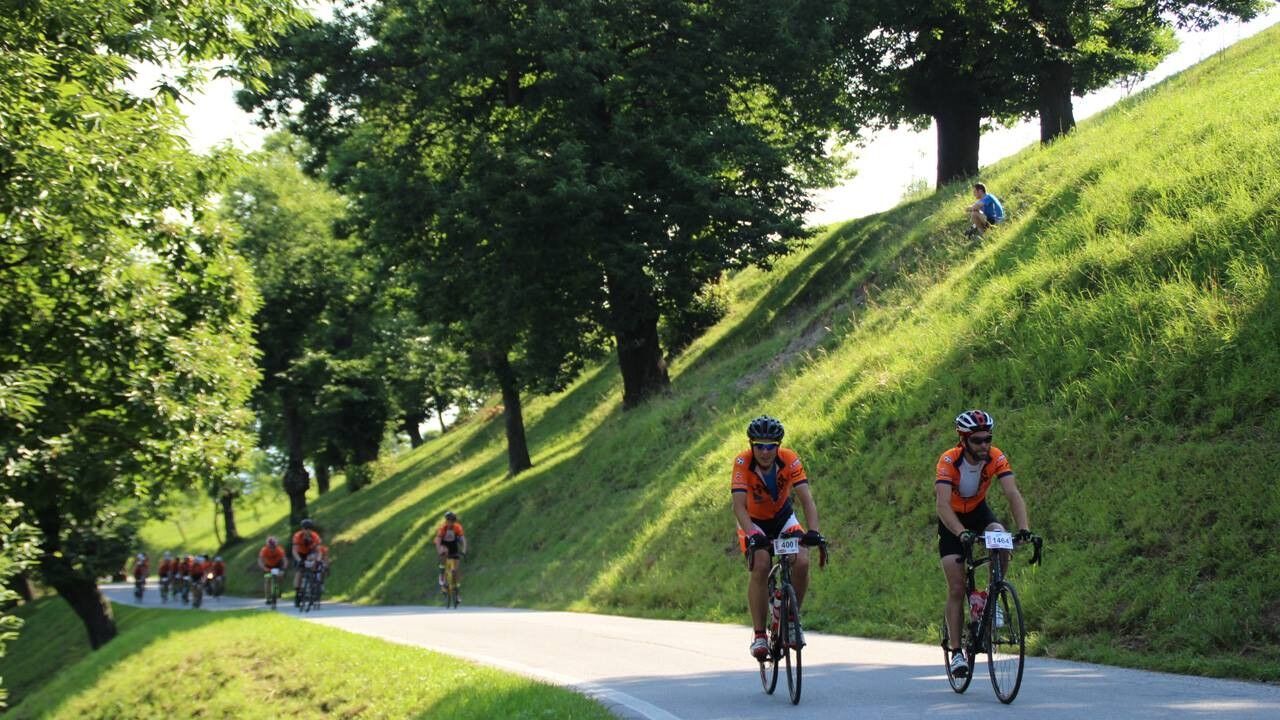
177 km for more than 4000 meters in altitude: the track follows the route designed for the Granfondo La Fausto Coppi race which takes place every year in July. Starting from the city of Cuneo , after having traveled the Soleri viaduct, turn towards Busca. After 30 km on the flat, the first climb is faced, the one that leads to the sanctuary of Valmala (1,380 m) in Valle Varaita. Just enough time to catch your breath and, having passed Dronero, with the passage over the Devil's bridge, it is already time to tackle the second climb, a 10 km stretch towards Piatta Soprana and Valle Grana with peaks at 14% for about 10 km . After descending into Valle Grana, the most important climb of the race begins, the 22 km of Colle Fauniera (2,484 m). At the top, the majestic landscape soon gives way to a long descent, which leads to Demonte, in Valle Stura, a few km away from the second and last climb of the route, the one towards Madonna del Colletto (1,304 m). The subsequent descent leads to Valle Gesso in Valdieri and from here to Borgo San Dalmazzo, to return to Cuneo, towards the finish line.

Those wishing to participate in the annual competition can consult the La Fausto Coppi website.

Dodatkowe informacje i wskazówki
Wskazówki

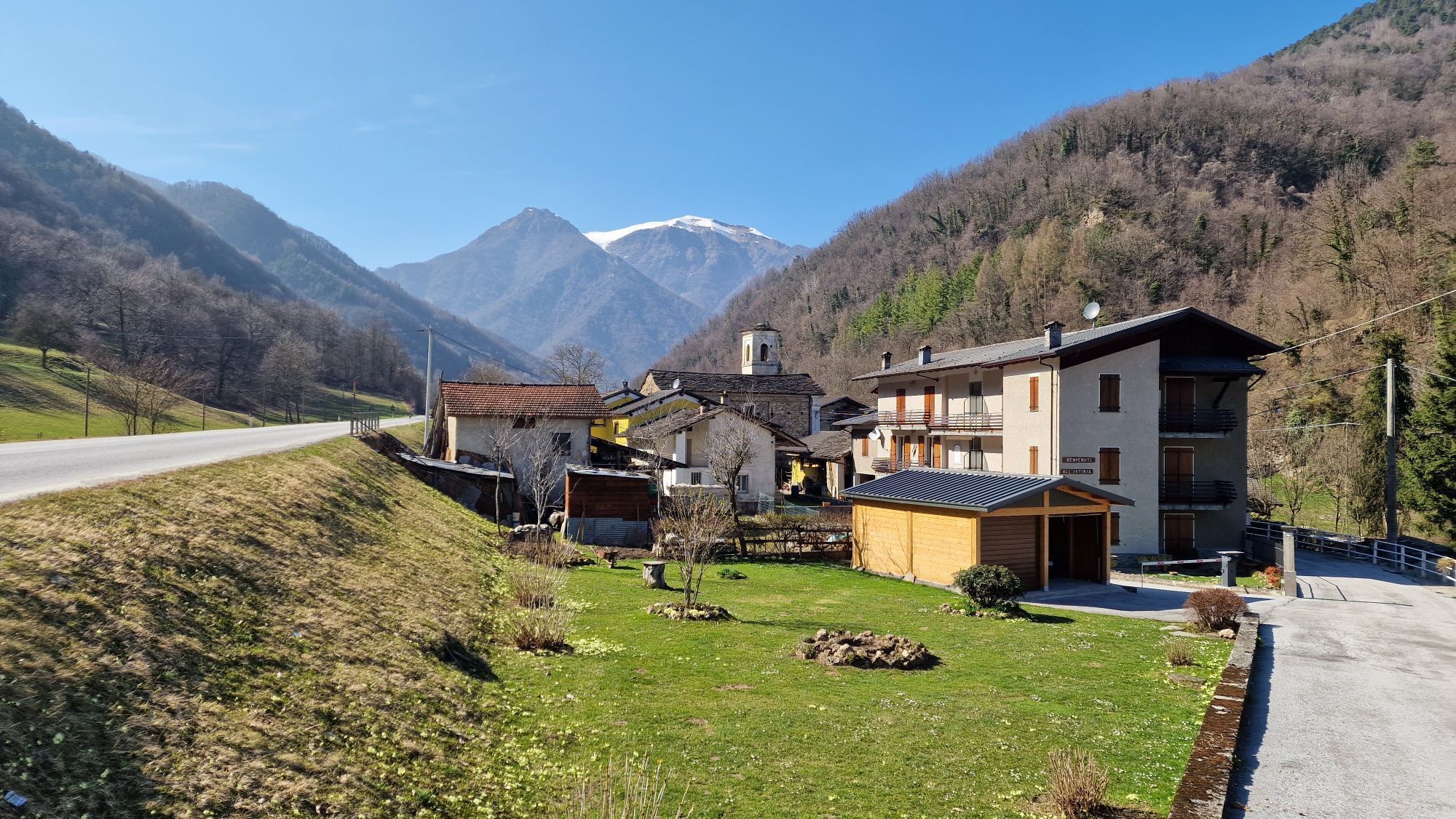
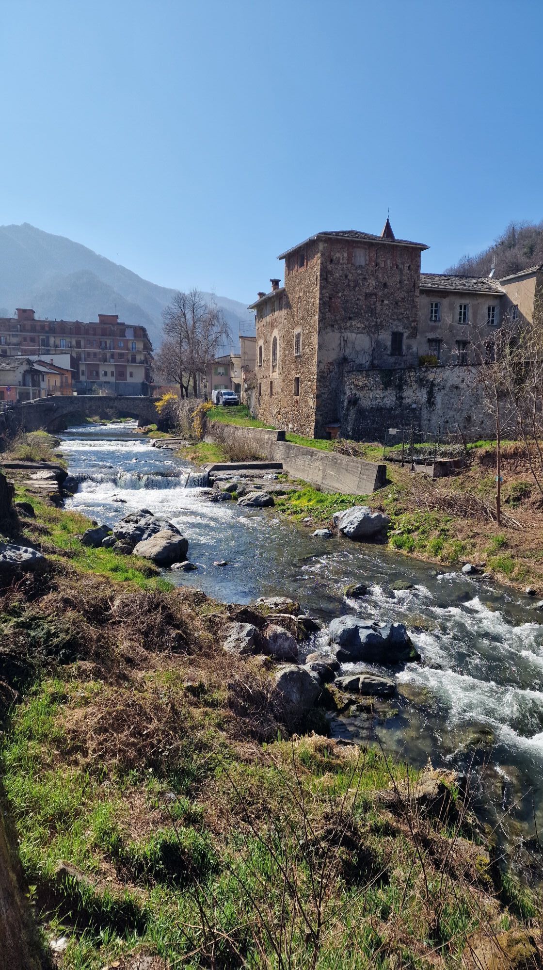
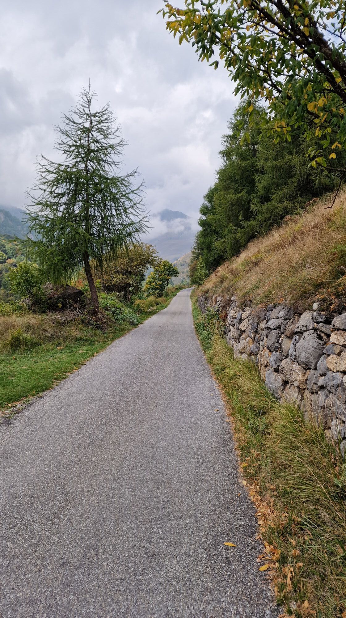
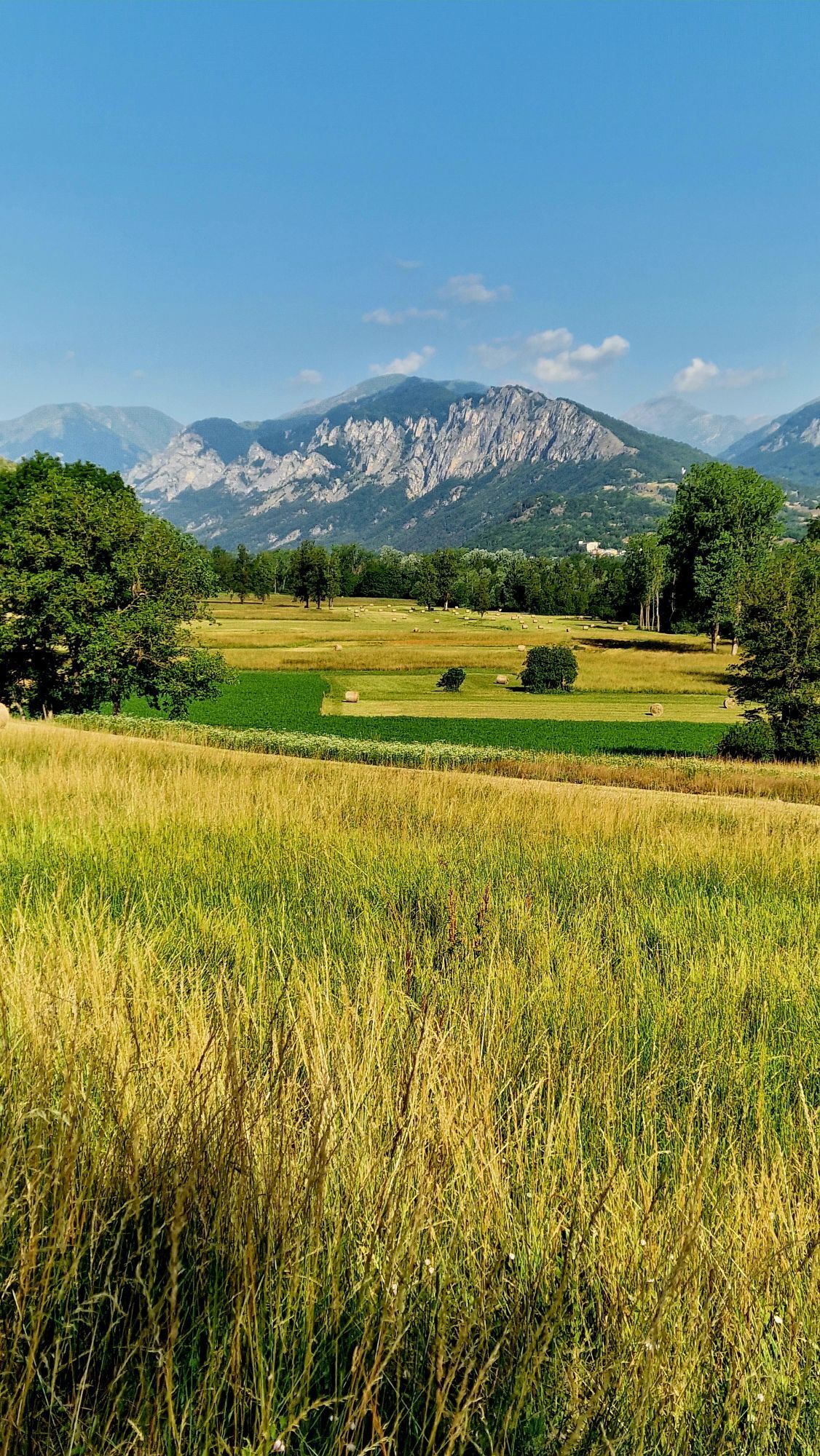
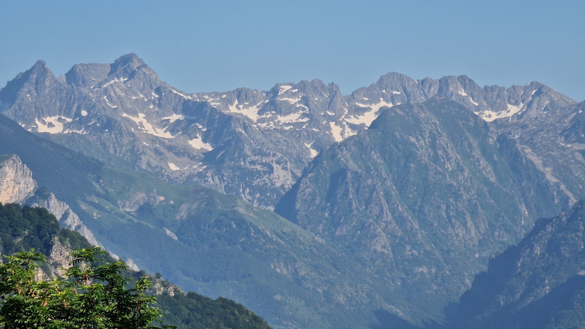
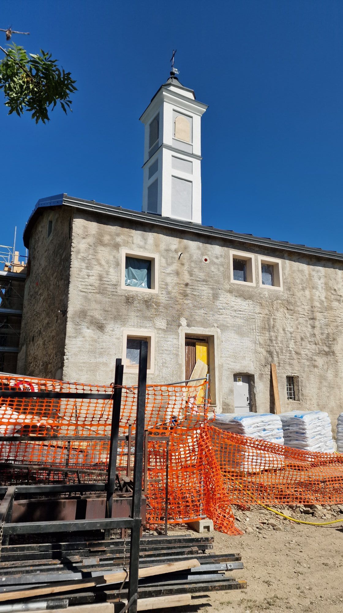
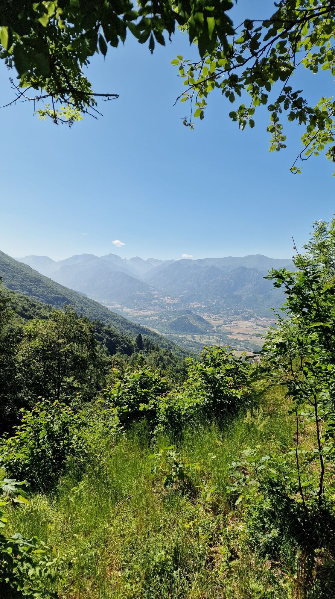
The route proceeds from Cuneo towards Caraglio, at the gates of Valle Grana, where you can visit the church of San Giovanni, with a Gothic layout but remodeled from the Baroque period onwards, the Convent of the Capuchins and the remarkable Spinning Mill, built in just two years (1676-78) by the well-known silk entrepreneur Galleani, and today used as a Museum of the Piedmontese Silk Factory and as an exhibition area for modern and contemporary art exhibitions. It climbs gently up to Pradleves, then the route suddenly becomes steep and in the background the high peaks of Punta Tempesta and Cima Test appear. In Castelmagno the valley opens up in all its alpine charm: a spectacle of nature that invites you to unwind from the toil of the daily routine on summer days. Right here, at an altitude of 1800 metres, stands a sanctuary whose origins seem to date back to the cults of pre-Roman populations: dedicated to San Magno, a brave soldier of the legendary Theban Legion, it preserves paintings from the 1400s and 1500s. Castelmagno is not only the name of a locality, but also of the renowned and delicious DOP cheese produced in the high valley pastures. Valle Grana is considered a Provençal linguistic enclave: in fact, the Coumboscuro Center Prouvençal is located in the lateral valley of Sancto Lucio, which for years has been involved in the recovery and preservation of the Provençal language, local folk and musical traditions. In Sancto Lucio there is also an interesting Ethnographic Museum. After passing Colle Fauniera you face a steep descent towards Demonte in Valle Stura, whose historic center is worth a visit. Then continue towards the Madonna del Colletto ascent to descend into Valle Gesso in the Municipality of Valdieri from which you can easily reach many excursion itineraries of the Alpi Marittime Natural Park. Beyond Valdieri you return to the plain crossing the town of Borgo San Dalmazzo where you can visit the Sanctuary of Monserrato, the parish church of San Dalmazzo and the Memorial of the Deportation. From Borgo San Dalmazzo you return towards Cuneo to complete the circuit.
Wędrówki i tropienie

Wędrówki i tropienie

Wędrówki i tropienie
Ponad 550.000 propozycji wycieczek, szczegółowe mapy i intuicyjny planer tras sprawiają, że aplikacja jest niezbędna dla wszystkich entuzjastów przyrody.
bergfex