







Valle Bronda Trekking - Stage 2A: Martiniana Po - Brondello (crossroads at 835 m altitude)
This stage is a connection variant that starts from Martiniana Po and goes up the Comba Novalet to the crossroads to the Piropi geoarchaeological site (2.8 km from the start), then turns left to follow...
This stage is a connection variant that starts from Martiniana Po and goes up the Comba Novalet to the crossroads to the Piropi geoarchaeological site (2.8 km from the start), then turns left to follow a forest trail that climbs into the side valley. Once past Borgata Fiore, turn left and the track runs along a small stream, beyond which it widens further up, returning to the trail, which with a few hairpin bends on a good slope reaches the watershed at Piano Pramalano (1000m). You descend easily on a wide cart track for about 3 km, passing near the shrine of Madonna del Carmine, in the direction of Colletto Alto di Brondello, up to the crossroads at an altitude of about 835 metres, where you join stage 2 (which goes from Pagno to Brondello). From here you can continue downhill to Brondello in the town centre.

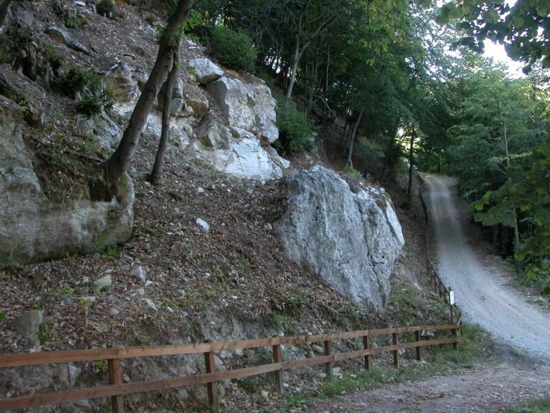
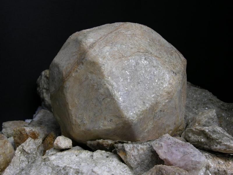

"Pyrope" geoarchaeological site
Popularne wycieczki w okolicy
-
4,0
Historic Mountain Routes | Cannon Road
ciężkiMountainbike 43,2 km -
Occitan Routes: Stage 1 Ciciu di Villar - Frazione Sant'Anna di Roccabruna
średniWędrówka 15,9 km -
Grand Tour UNESCO Arco 4 | From Racconigi to Avigliana
ciężkiKolarstwo długodystansowe 134,5 km -
Occitan Routes: Stage 3 Pagliero hamlet of San Damiano Macra - Camoglieres hamlet
średniWędrówka 10,6 km -
Occitan Routes: Stage 2 Frazione Sant'Anna di Roccabruna - Frazione Pagliero di San Damiano Macra
średniWędrówka 8,49 km -
Orizzonte Monviso - Stage 1: Hiking refuge La via del sale - Hiking refuge Pian Munè
średniWędrówka 15,8 km -
Val Varaita Trekking: Tappa 12 Venasca - Costigliole Saluzzo
średniWędrówka 18,1 km -
Orizzonte Monviso -Stage 5: Hiking refuge La Galaberna - Borgata Ferrere
średniWędrówka 7,79 km -
Orizzonte Monviso - Stage 2: Hiking refuge Pian Munè - Hiking refuge Lossa
średniWędrówka 12,9 km -
Orizzonte Monviso - Stage 2A: Pian Munè hiking refuge - Croce Tournour crossroads (Paesana)
światłoWędrówka 2,17 km
Wędrówki i tropienie


Nie przegap ofert i inspiracji na następne wakacje
Twój adres e-mail została dodana do listy mailingowej.





