


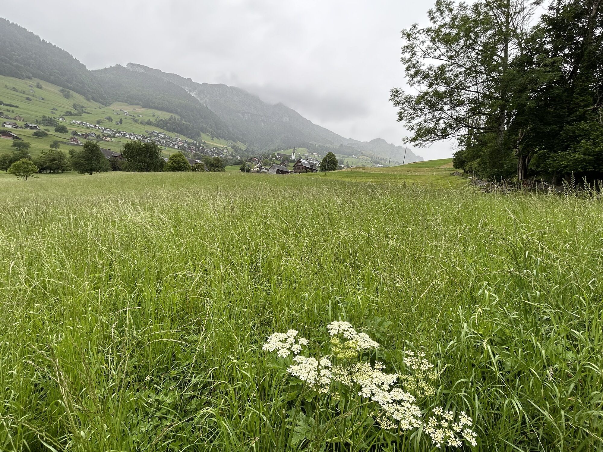
Heidiland Hiking Route 2: Amden - Flumserberg
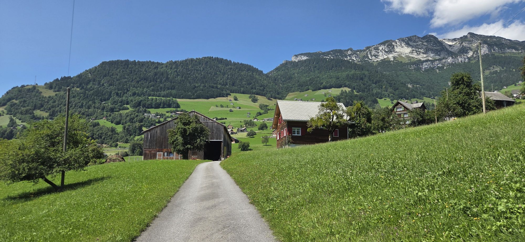


You leave the power place Amden on the Walsaweg No. 68, which leads back down towards Lake Walen. At Hinterbetlis, turn left. At the end of the hamlet Betlis, several highlights await: On the right side...
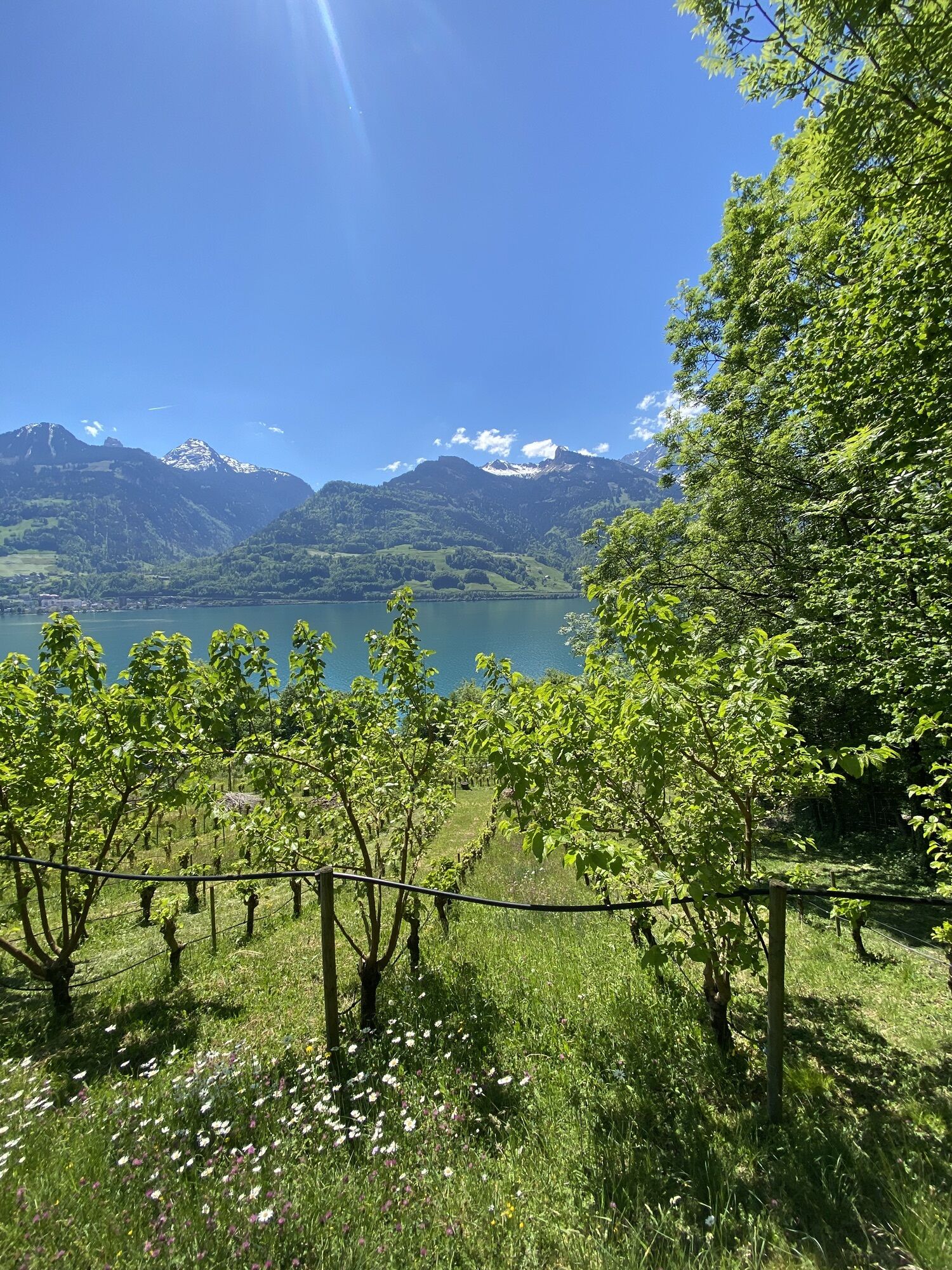
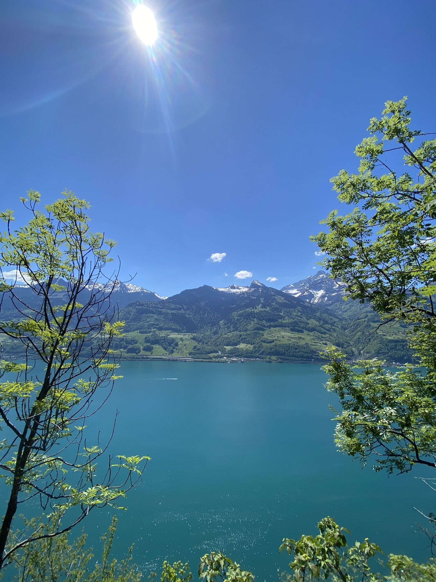
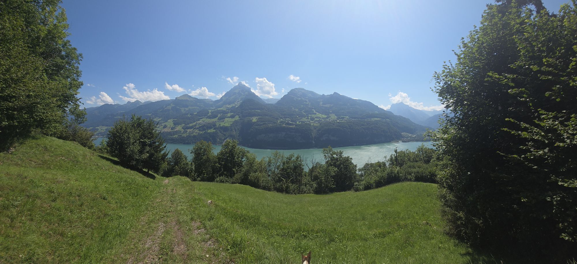
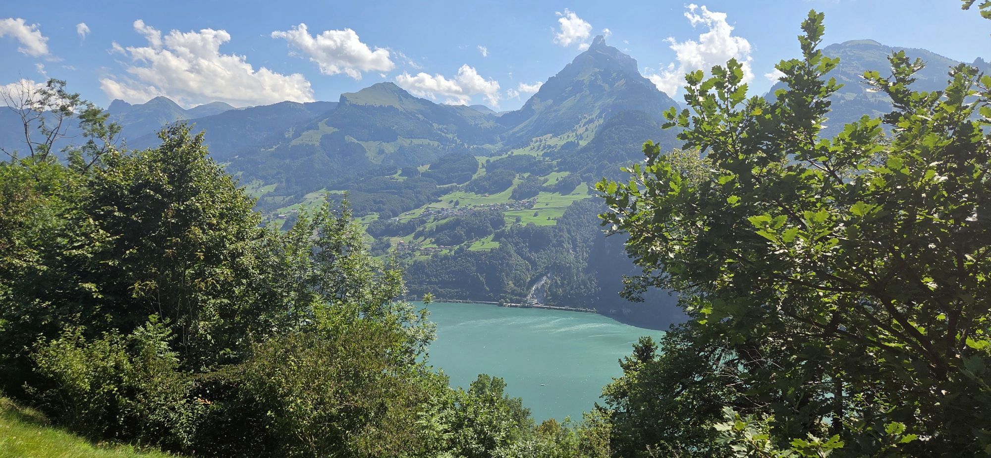
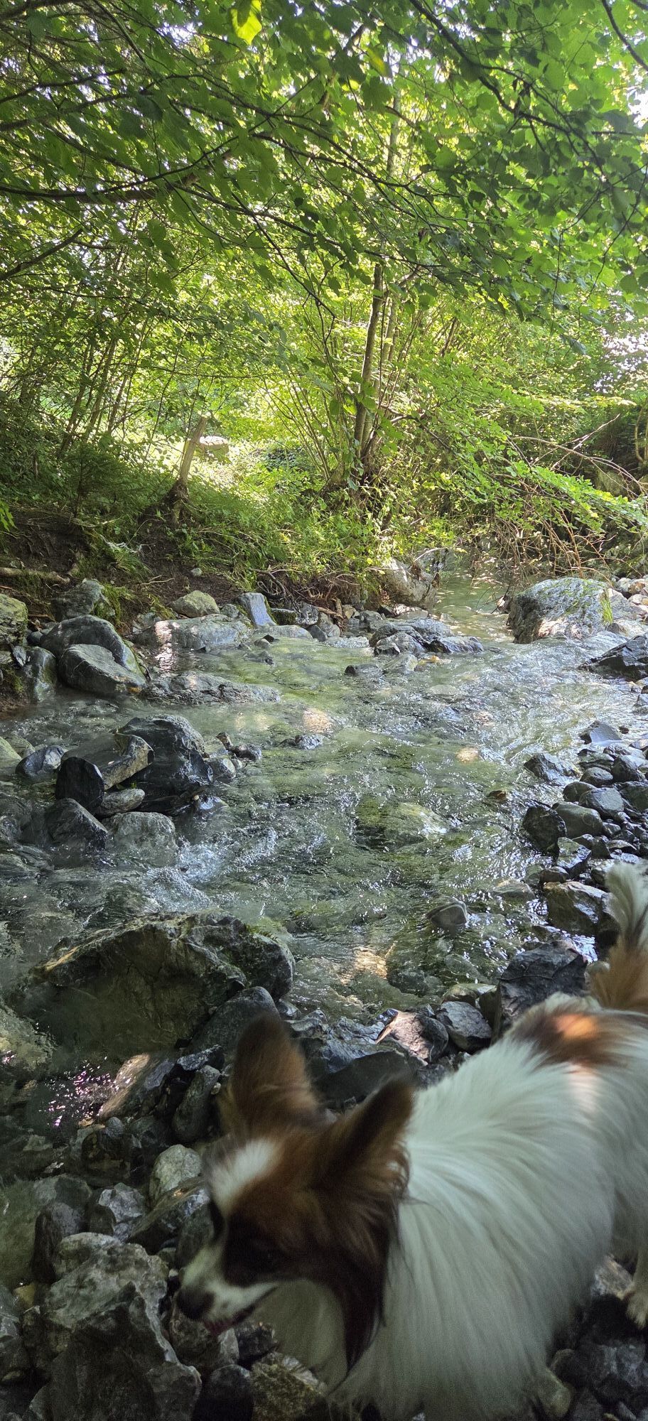
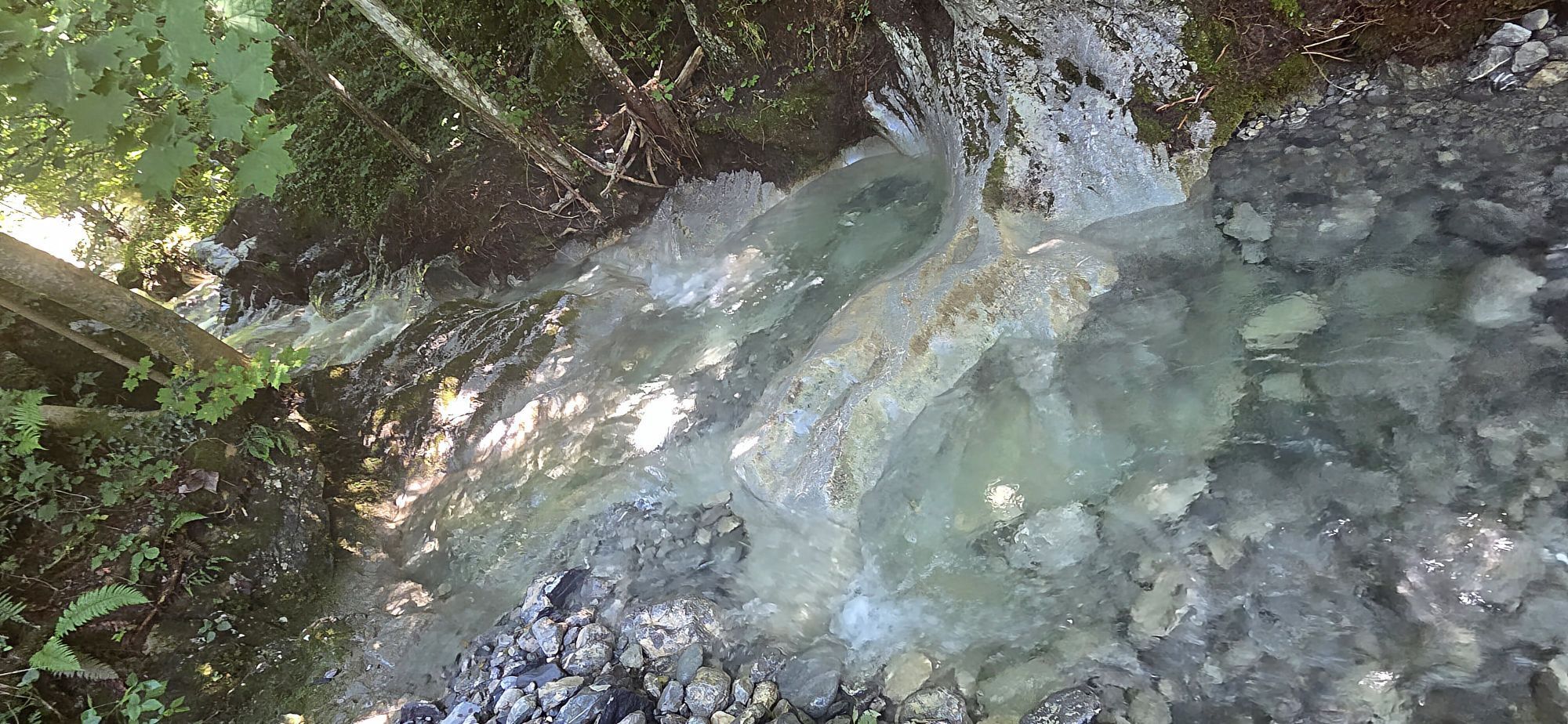
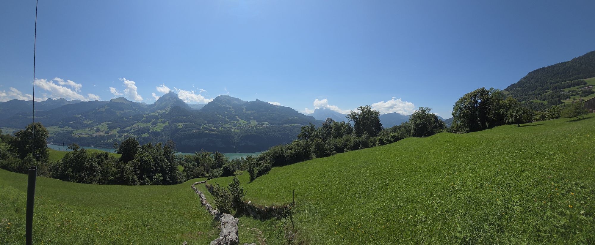
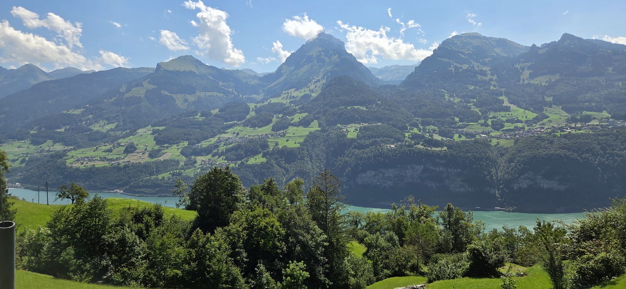
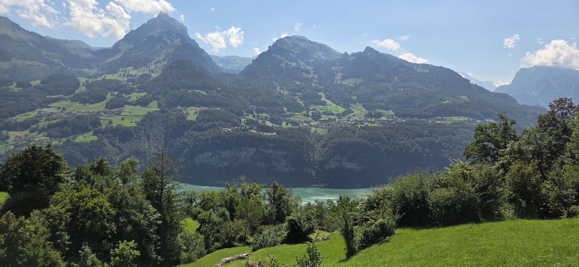
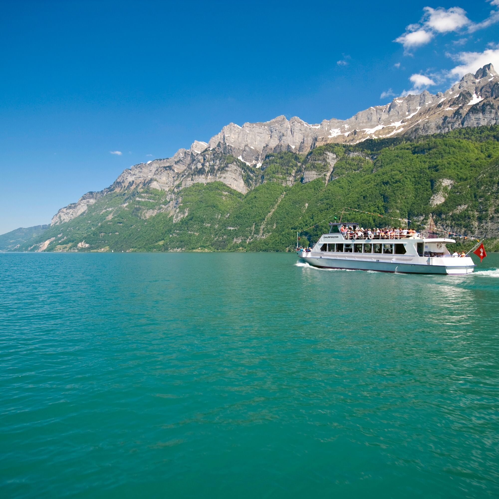
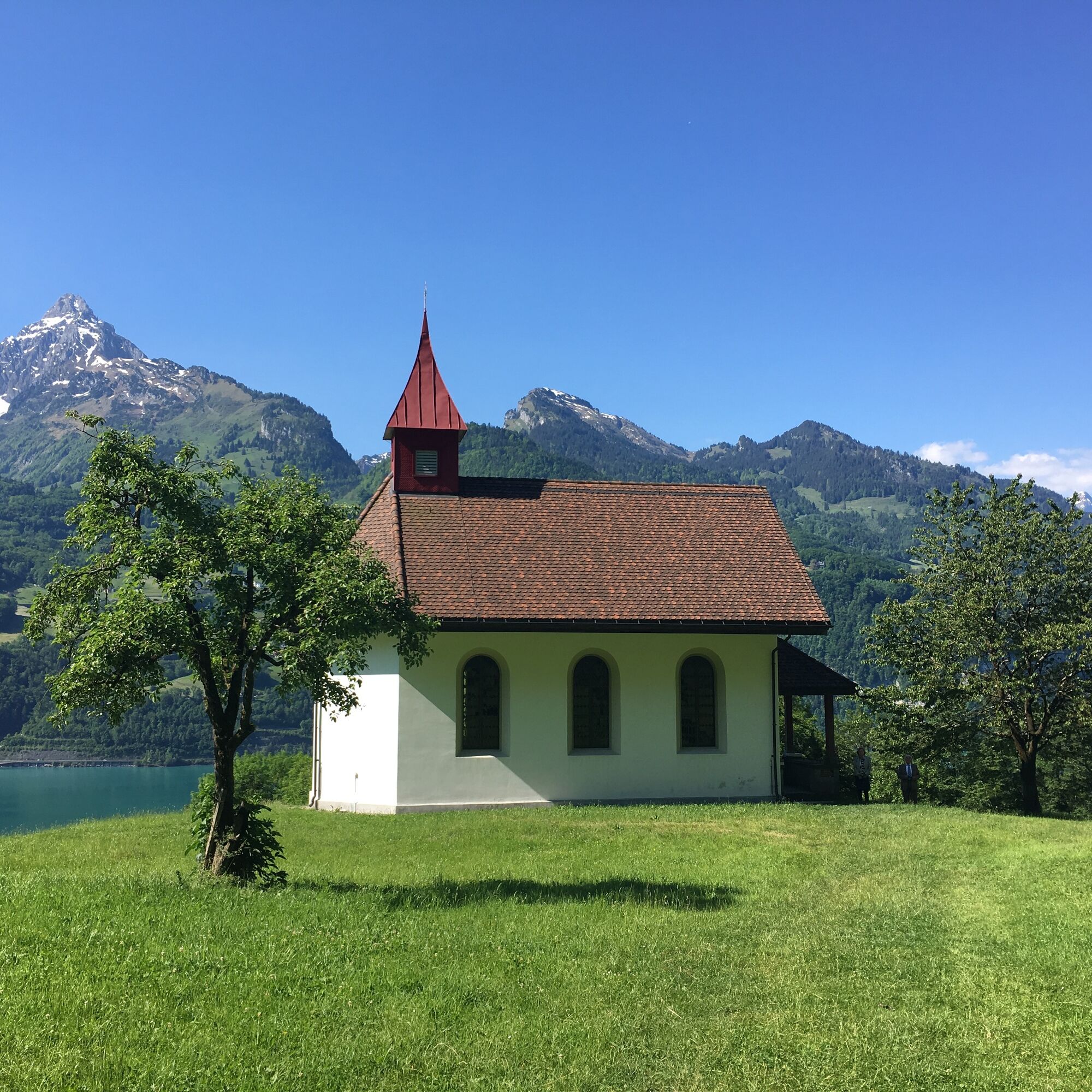
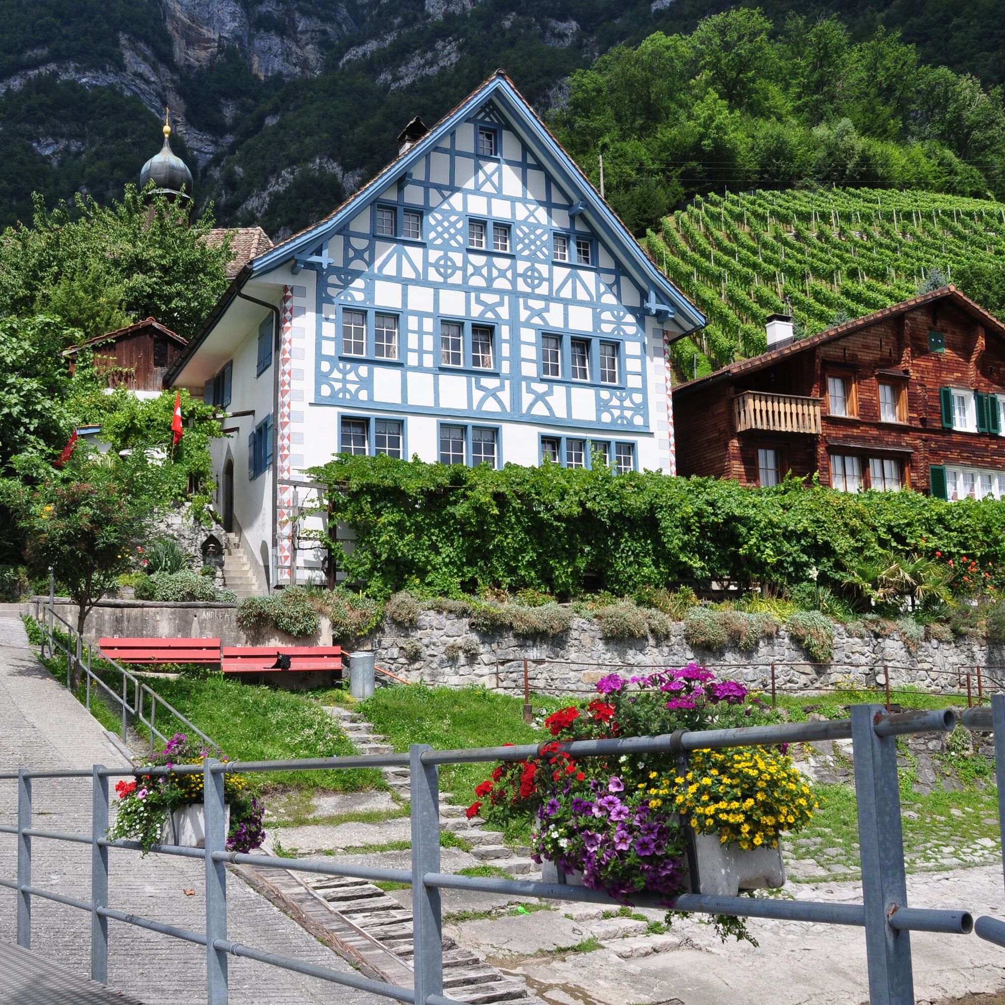
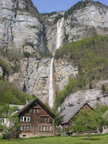
You leave the power place Amden on the Walsaweg No. 68, which leads back down towards Lake Walen. At Hinterbetlis, turn left. At the end of the hamlet Betlis, several highlights await: On the right side is the Betlis chapel in the most beautiful viewing location, on the left the path branches off to the Seerenbach Falls. This short detour is fascinating as it leads to a viewing platform where both the Seerenbach Falls and the Rin spring can be admired. The Seerenbach Falls plunge 600 meters down in three stages, with the middle stage considered one of the highest waterfalls in Switzerland. The Rin spring emerges slightly to the right from the rock face and is the outlet of an underground river system. These waterfalls are most impressive in spring when the water flow is greatest. Back on the hiking trail, a narrow footbridge crosses the deep Seerenbach gorge, then the trail leads uphill through the Seeren forest with ever-changing views of Lake Walen and the opposite shore. After about 30 minutes, the path turns right and descends partly steeply over a rock ledge back down to the lakeshore. You then continue leisurely through vineyards to Quinten. The well-known wine village of Quinten has a special climate thanks to its southern location, where even figs and lemons grow. Two restaurants await visitors here, as well as a boat service that comfortably takes you to the other side of Lake Walen.
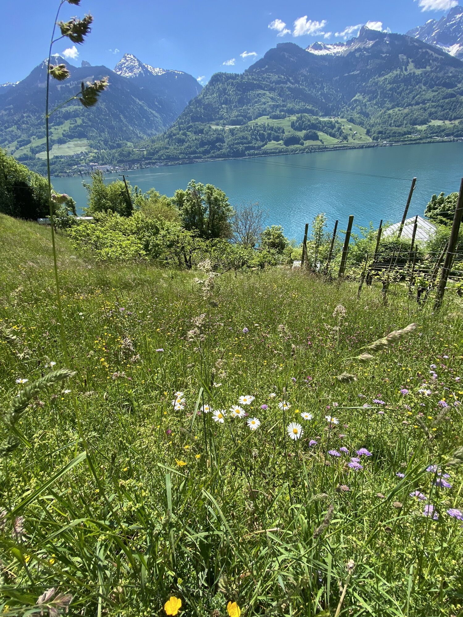
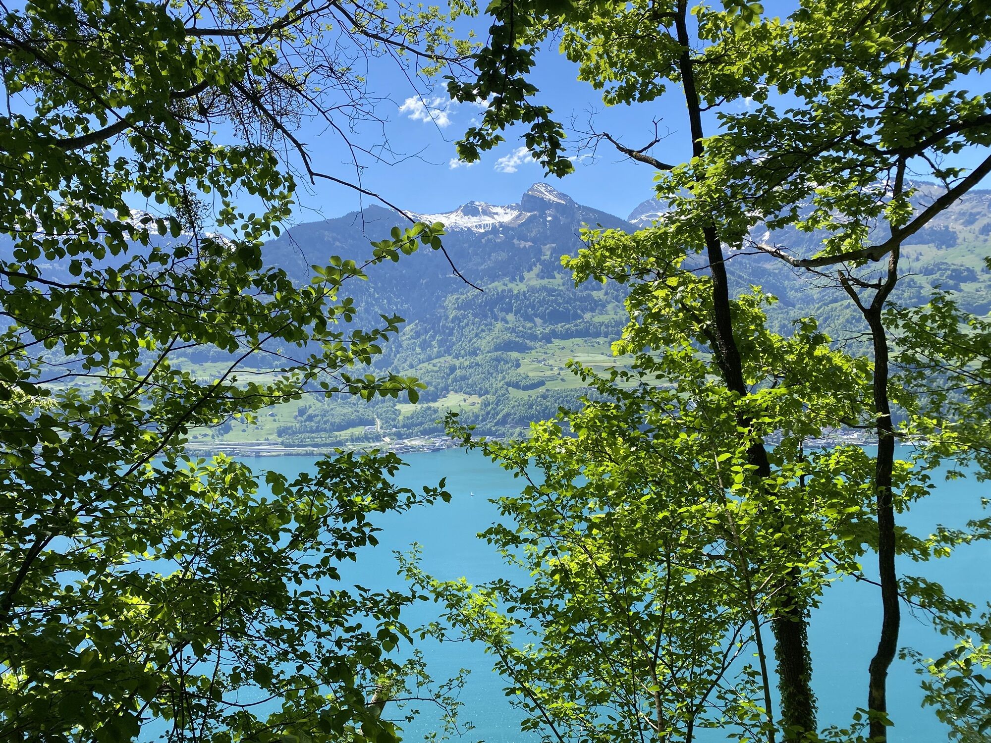
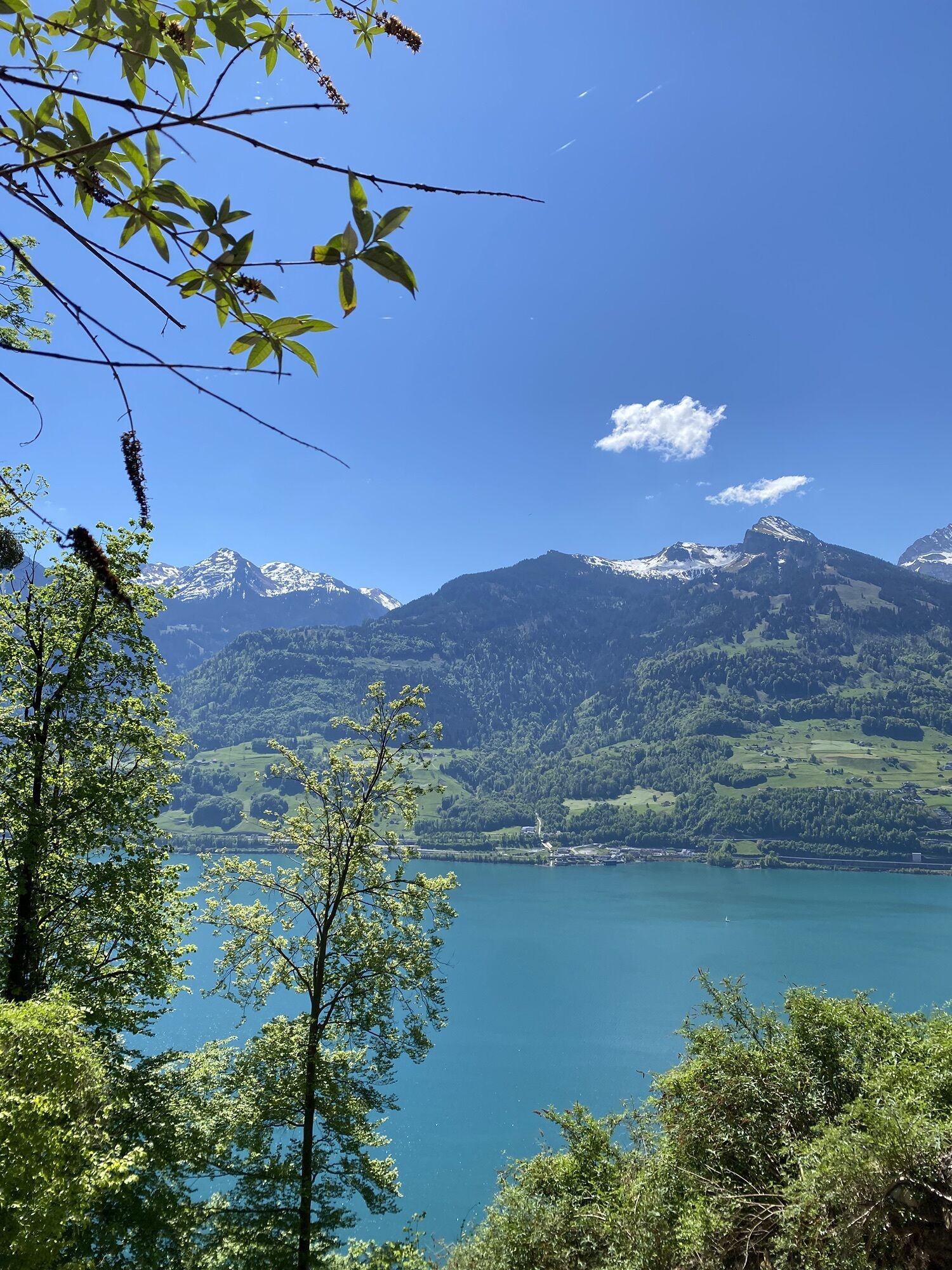
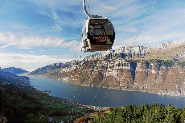
Upon arrival in Murg, continue following the Walsaweg. The route ascends slightly through the village of Quarten to Oberterzen. The Churfirsten, which rise steeply on the other side of Lake Walen, can be seen particularly impressively from here. In Oberterzen, you take the panoramic gondola to Flumserberg and can review today's route from above.
The second overnight stay is at the popular ski and hiking area Flumserberg.

Amden - Hinterbetlis - Seeren - Quinten - Murg - Quarten - Oberterzen - Flumserberg
Tak
Normal hiking equipment, sturdy hiking boots.
Heidiland Tourism
Information point Flumserberg
T +41 81 720 18 18
www.heidiland.com
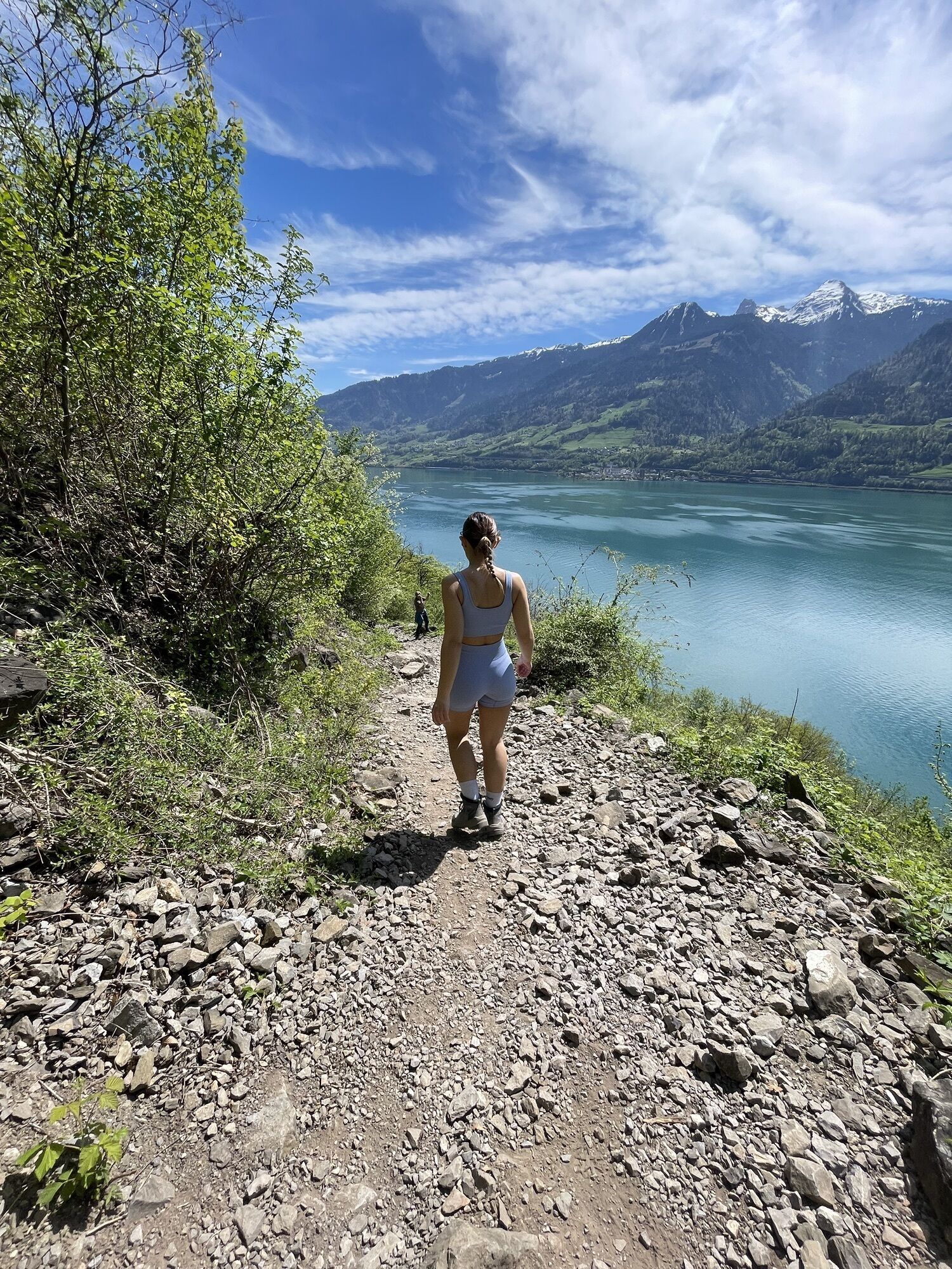
A short detour to the shore of Lake Walen is definitely worthwhile with breathtaking views of the Churfirsten.
Kamery internetowe z trasy
Prodalp
Maschgenkamm - Flumserberg
Quarten / Walensee
Maschgenkamm - Flumserberg
Maschgenkamm - Flumserberg
Maschgenkamm - Flumserberg
Maschgenkamm - Flumserberg
Maschgenkamm - Flumserberg
Maschgenkamm - Flumserberg
Prodalp
Prodalp
Prodalp
Prodalp
Prodalp
Prodalp
Arvenbüel, Monte Mio
Amden, Sesselbahn Mattstock Bergstation
Kerenzerberg
Leist
Prodkamm
Stelligrat

Popularne wycieczki w okolicy
- 4,8
Walensee Riviera Weesen - Quinten
średniWędrówka 10,2 km - 4,7
Riviera Lake Walen Walenstadt-Quinten
średniWędrówka 10,4 km - 4,6
Weesen - Quinten - Walenstadt
ciężkiWędrówka 20,6 km - 4,6
4-Summit-Route Flumserberg
średniWędrówka 8,65 km - 4,4
7-Peak Tour Flumserberg
ciężkiWędrówka 15,0 km - 4,6
Amden - Speer (Rundkurs)
światłoWędrówka 17,6 km - 5,0
Schrina Alp and Cultural Trail
średniTrasa tematyczna 11,5 km - 4,7
Quinten-Trail 453
średniBieganie 8,97 km - 4,0
Winter hike on the Rosenboden panoramic circular route
światłoWędrówka zimą 2,95 km - 4,7
Mädems Trail
średniRakieta do chodzenia po śniegu 7,48 km
Wędrówki i tropienie


Nie przegap ofert i inspiracji na następne wakacje
Twój adres e-mail została dodana do listy mailingowej.