


Weesen - Quinten - Walenstadt
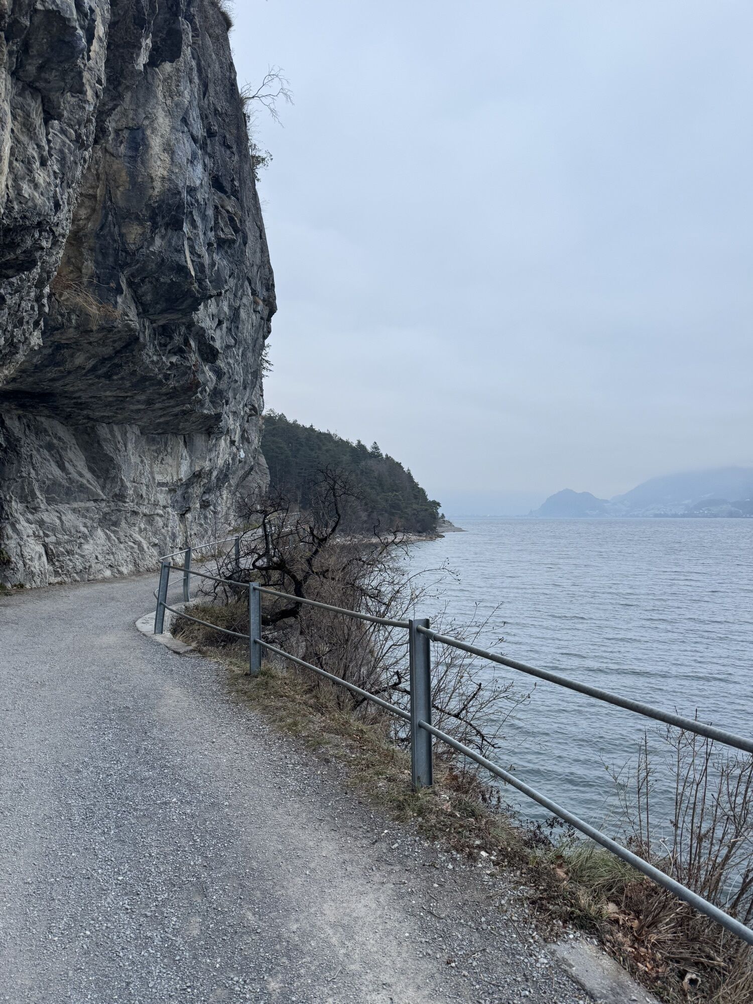


We leave the Weesen quay and walk along the main road, past the Catholic Flikirche church, to the hamlet of Fli. The path to Betlis, at times high above the water level, is carved into the rock and has...
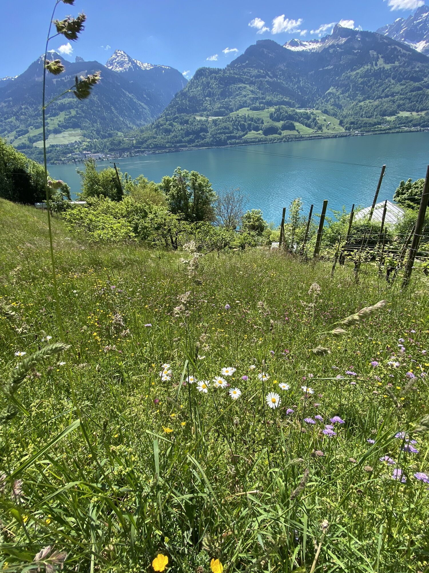
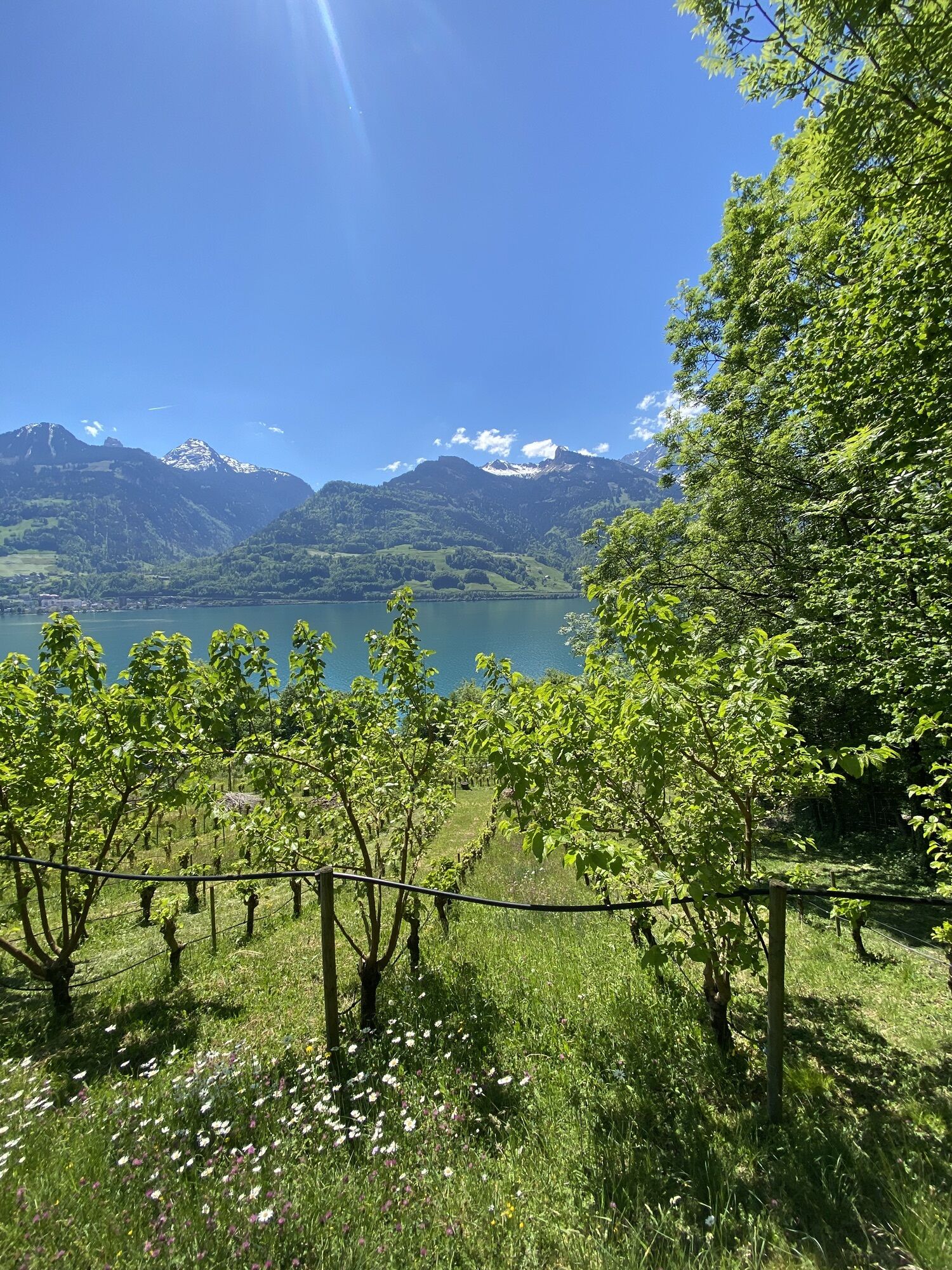
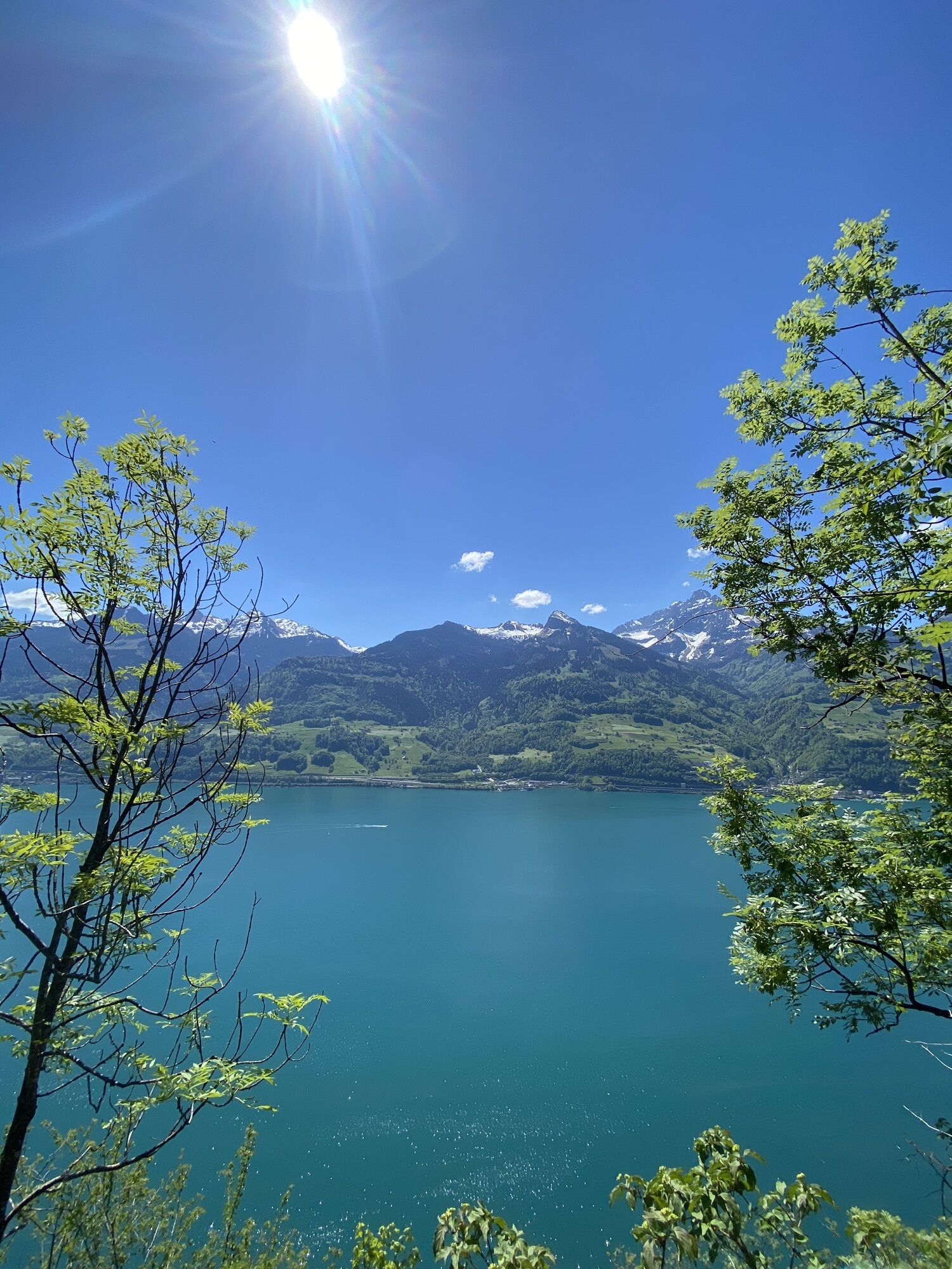
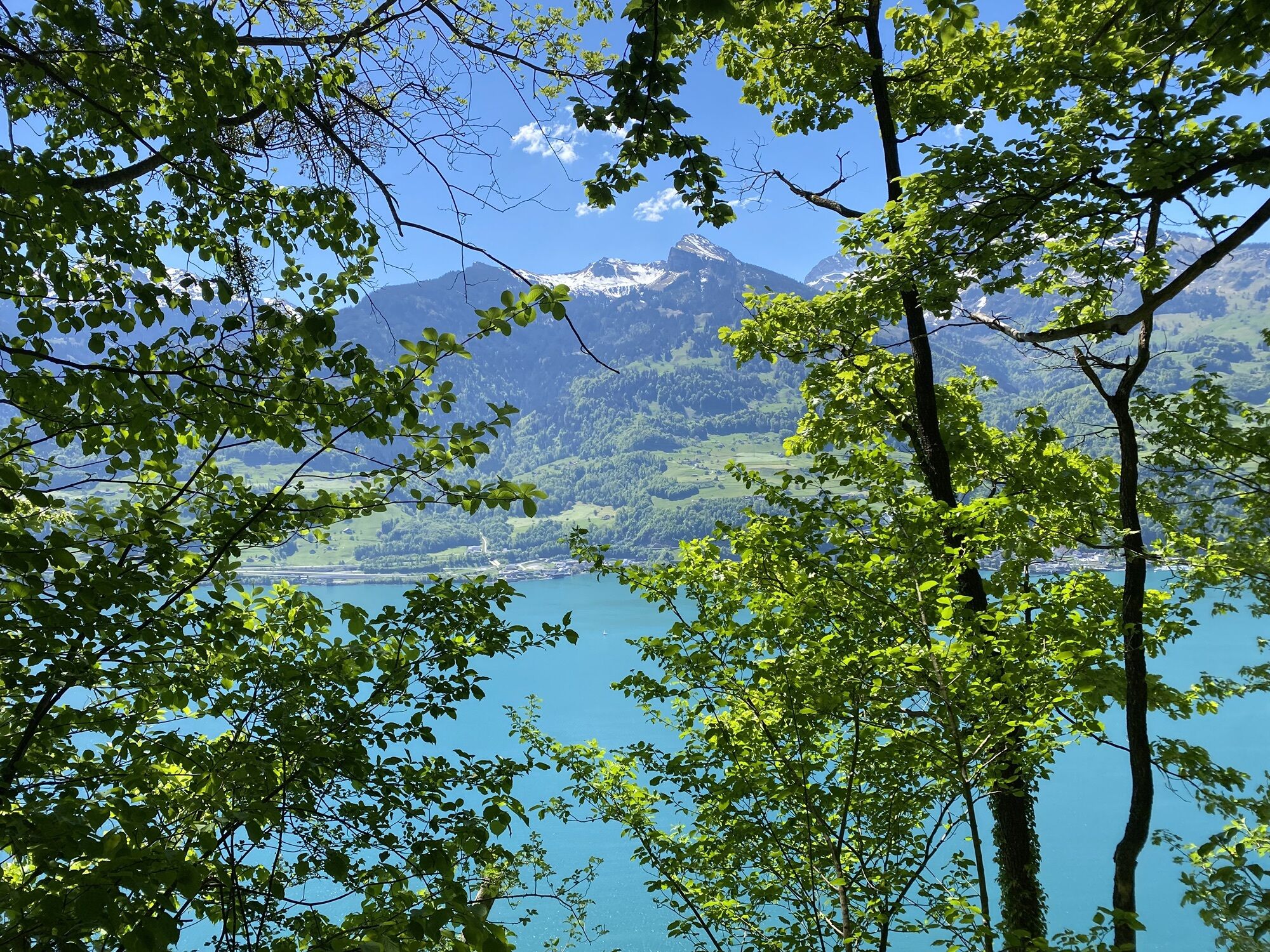
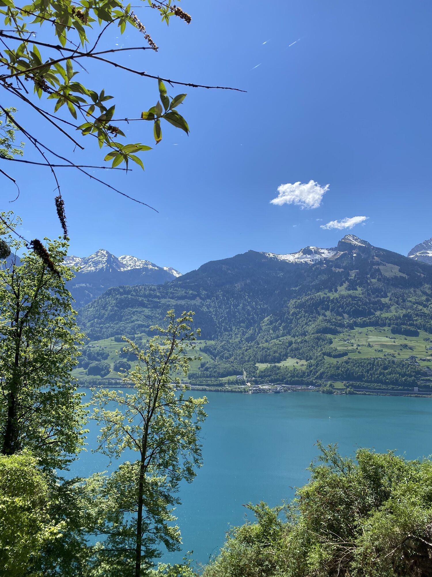
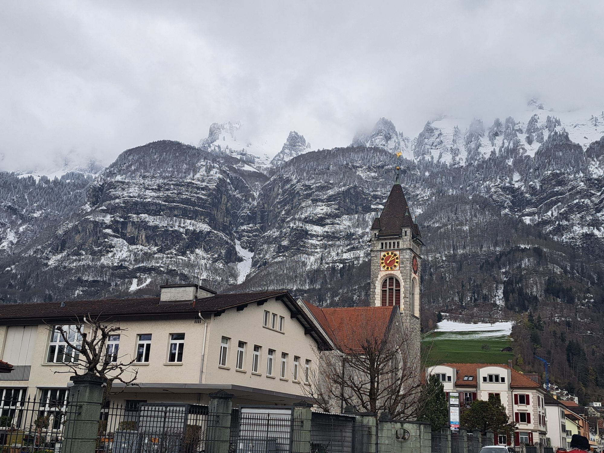
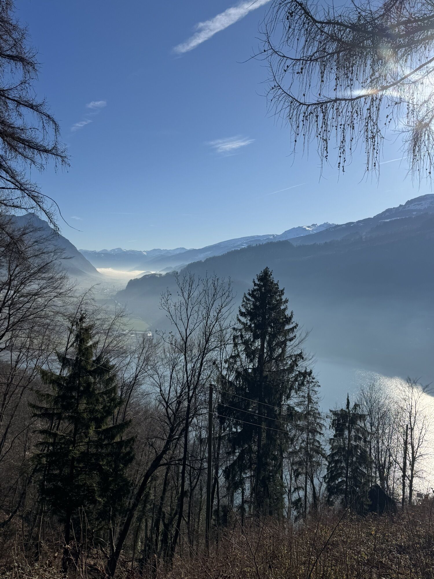
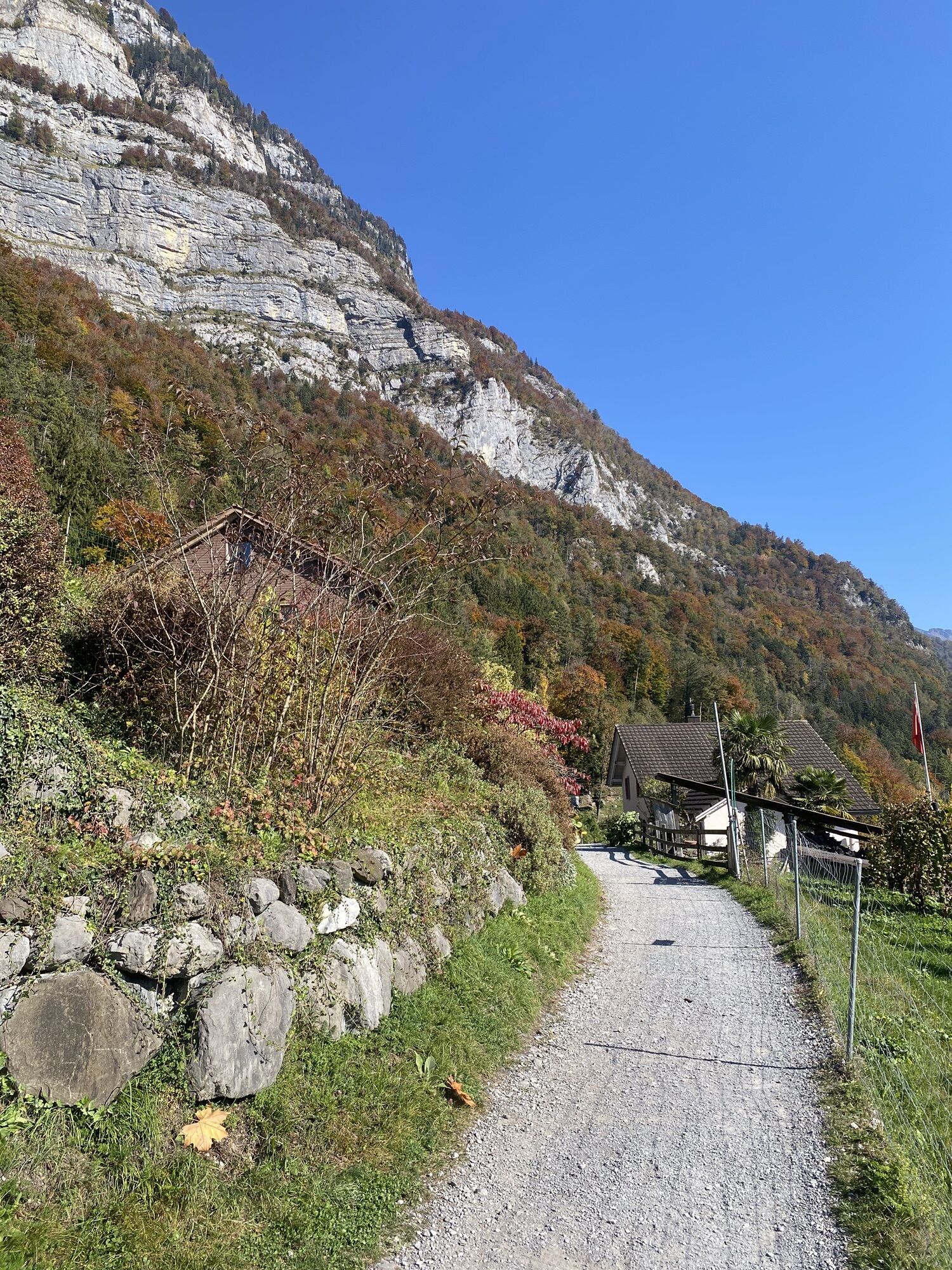
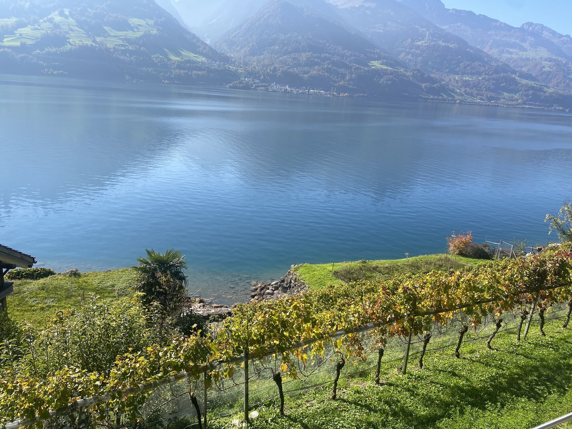
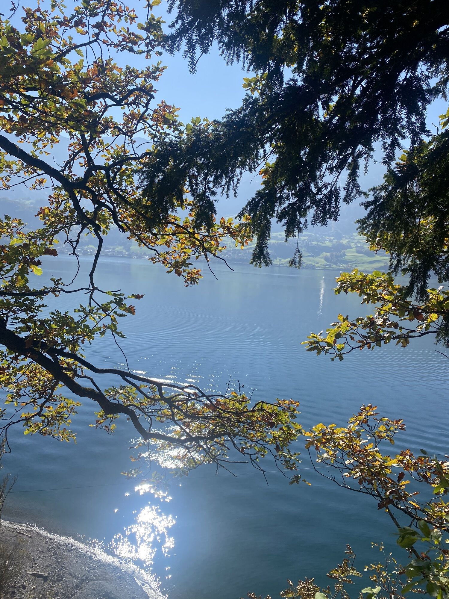
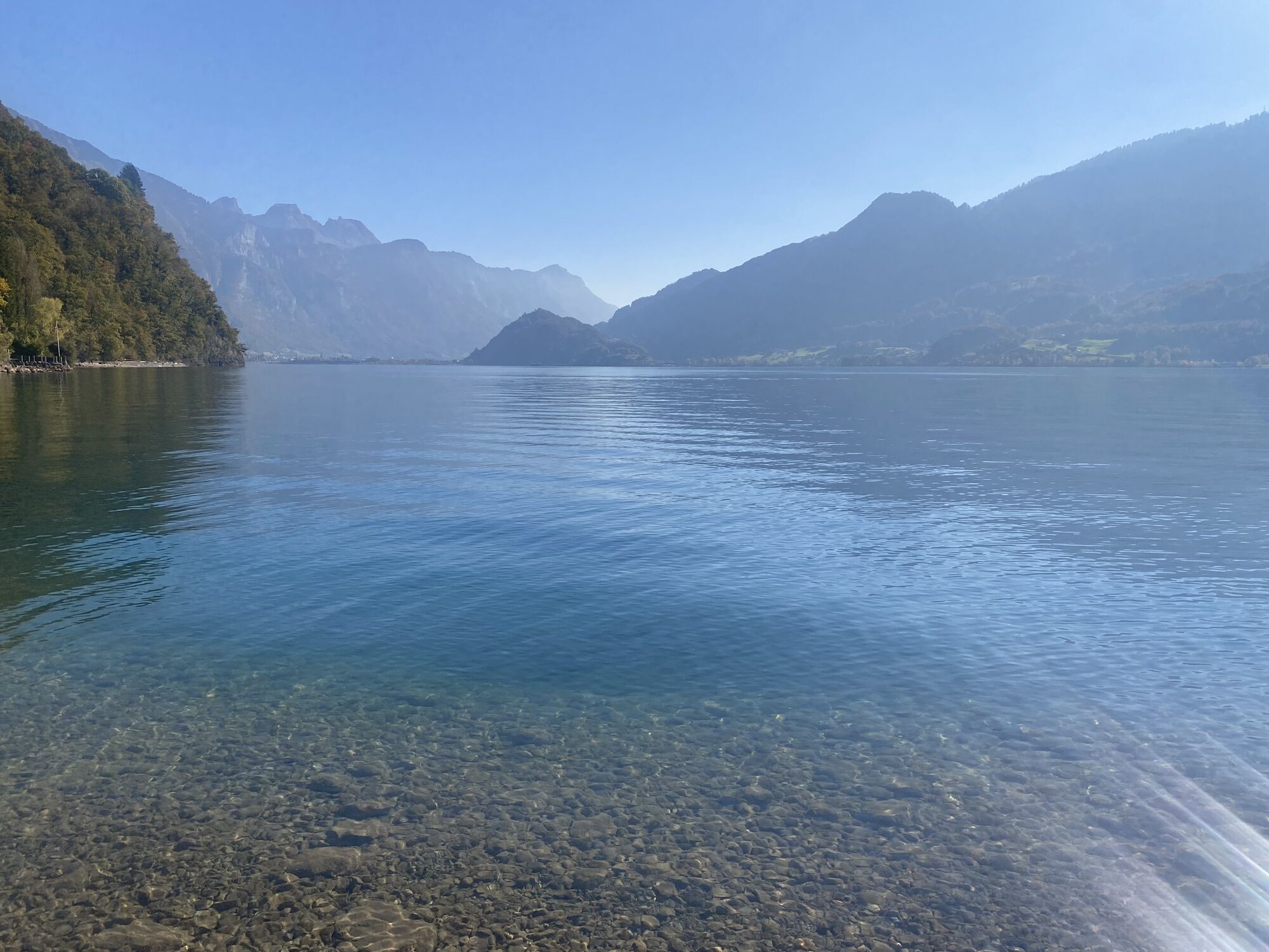
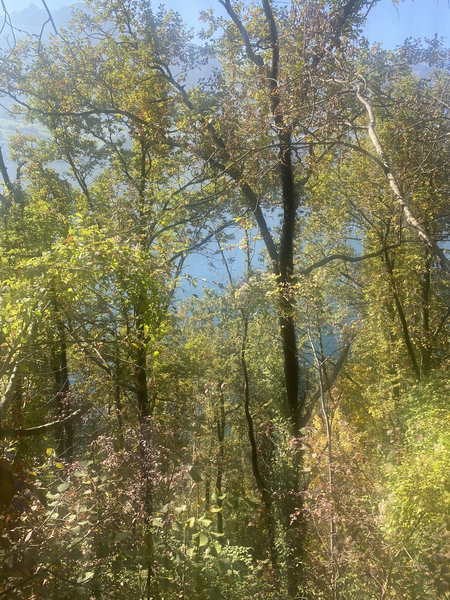
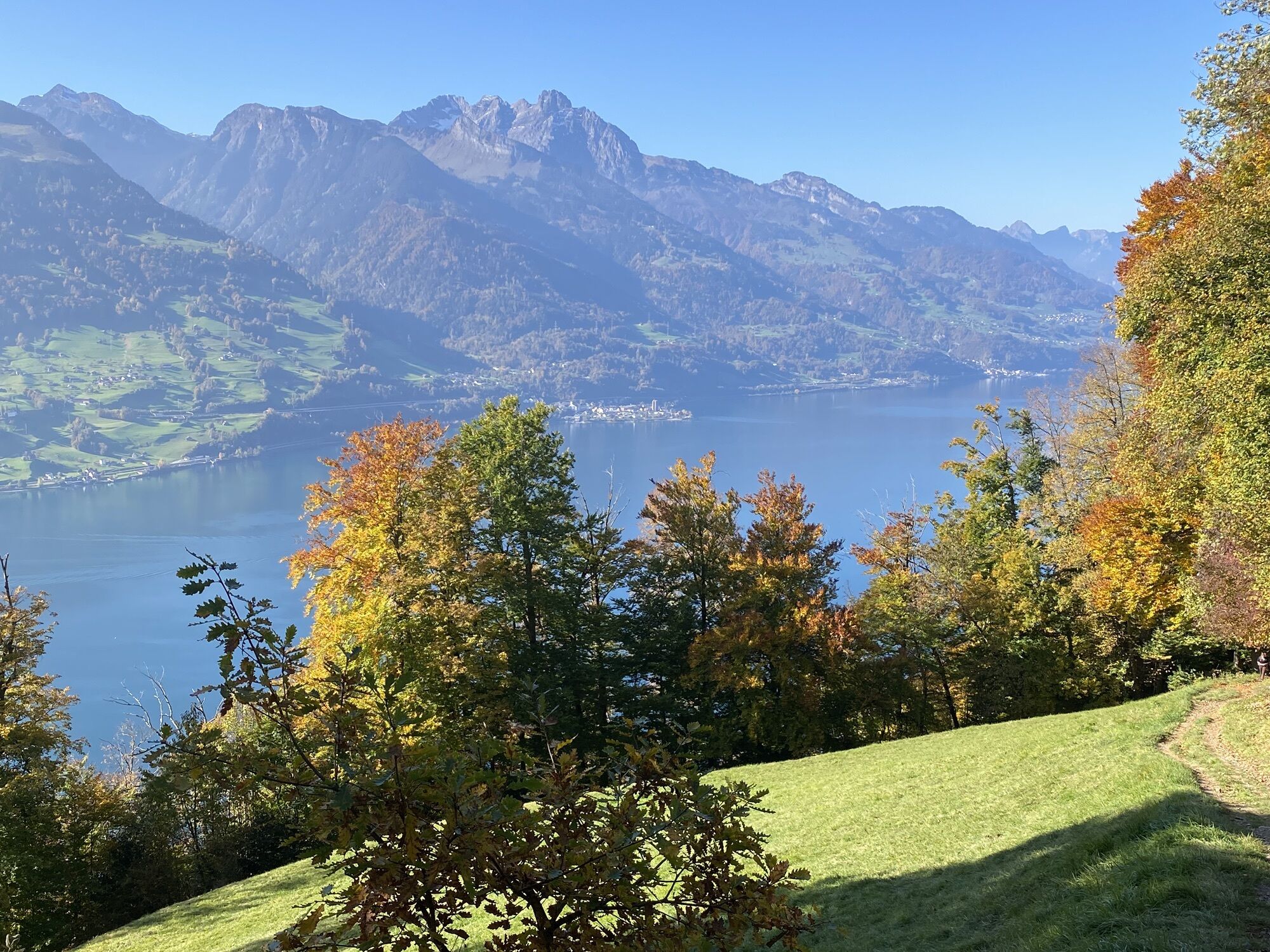
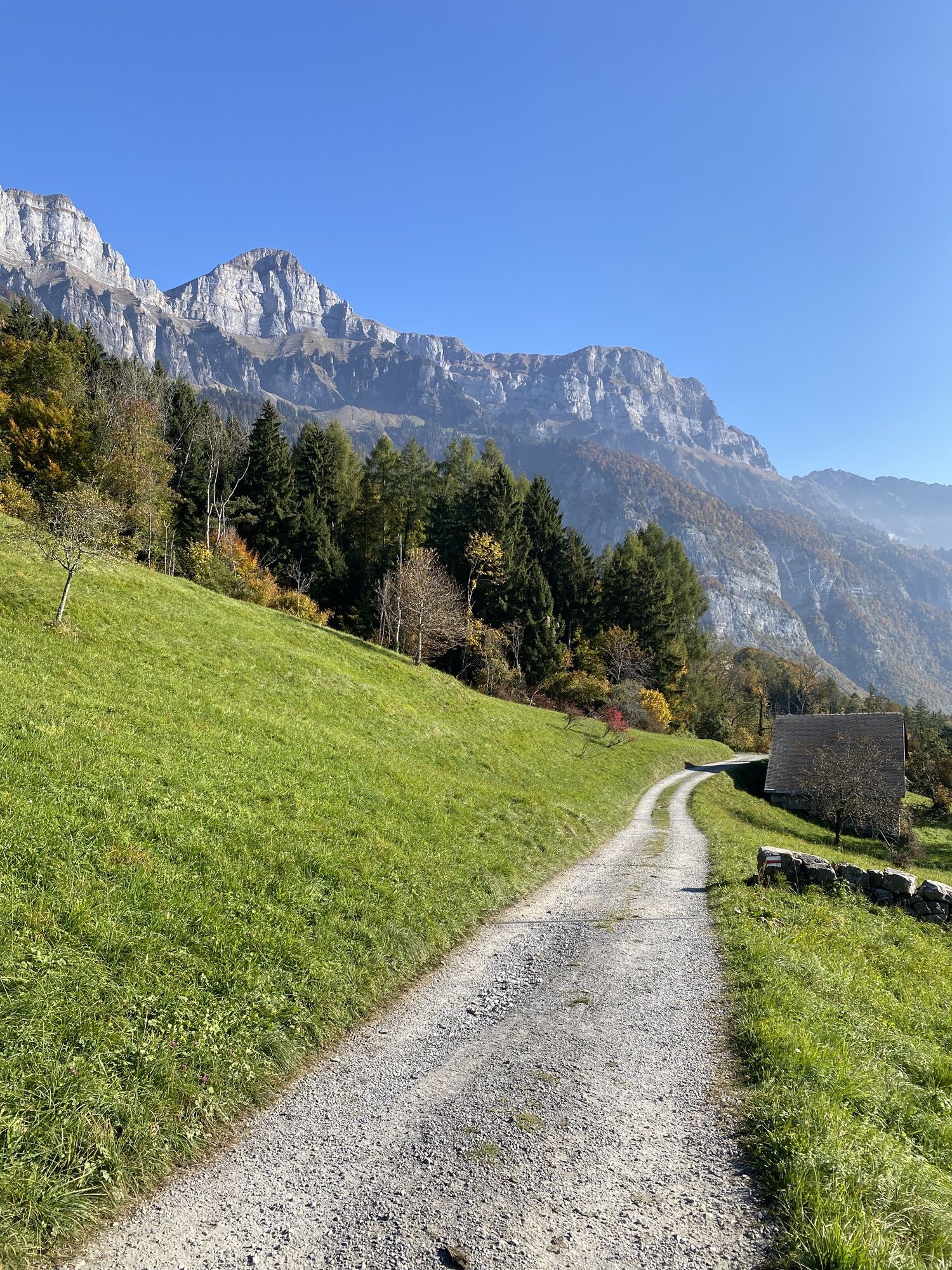
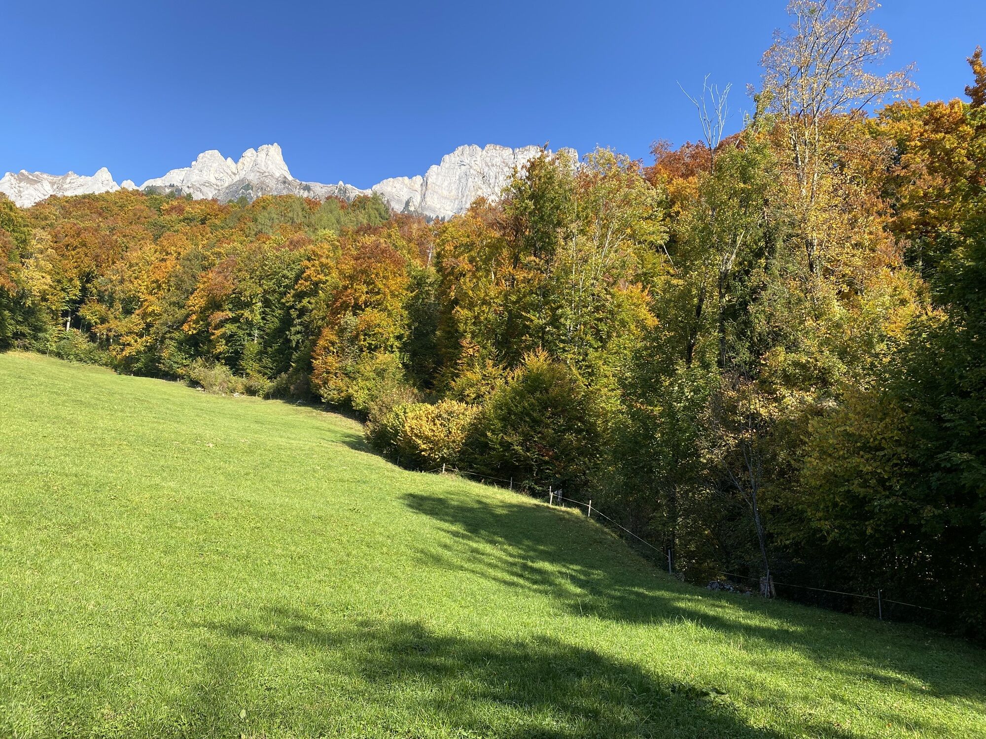
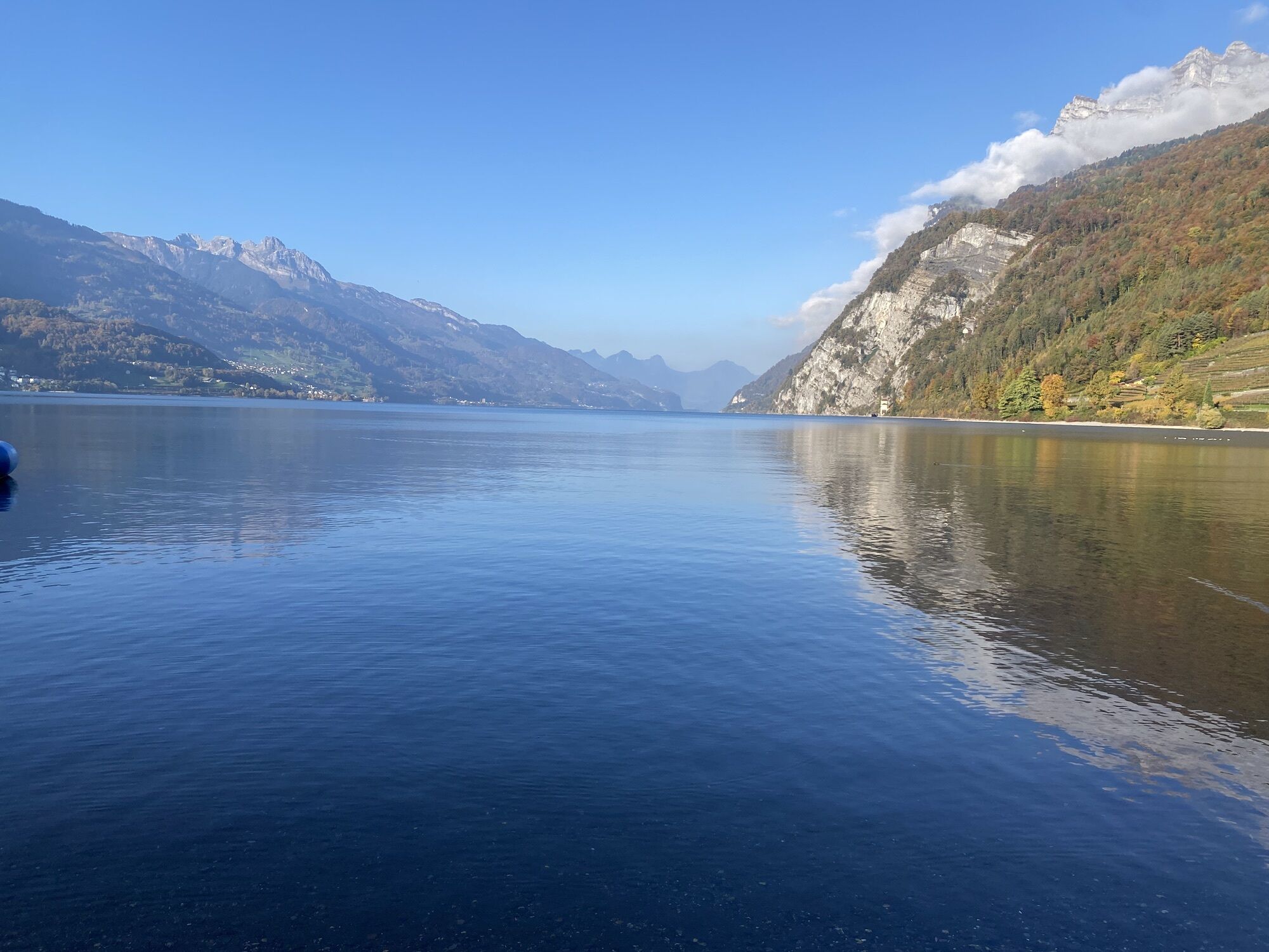
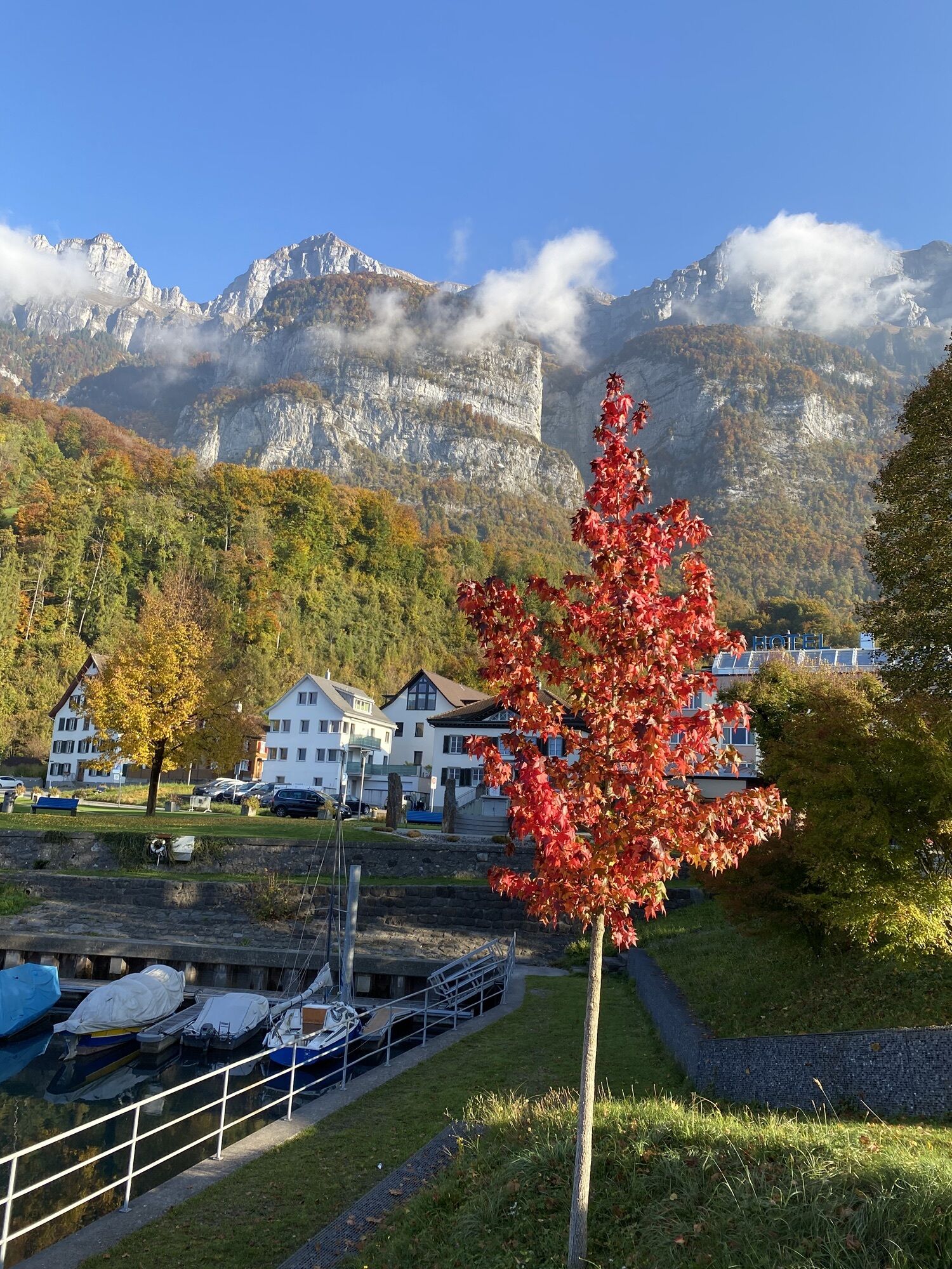
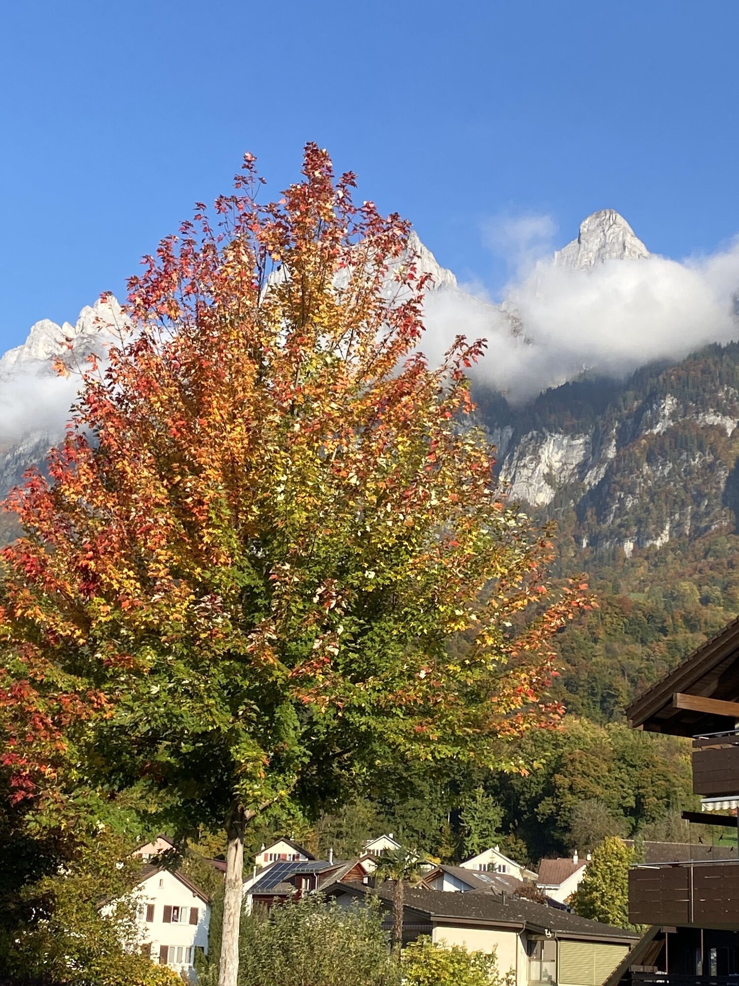
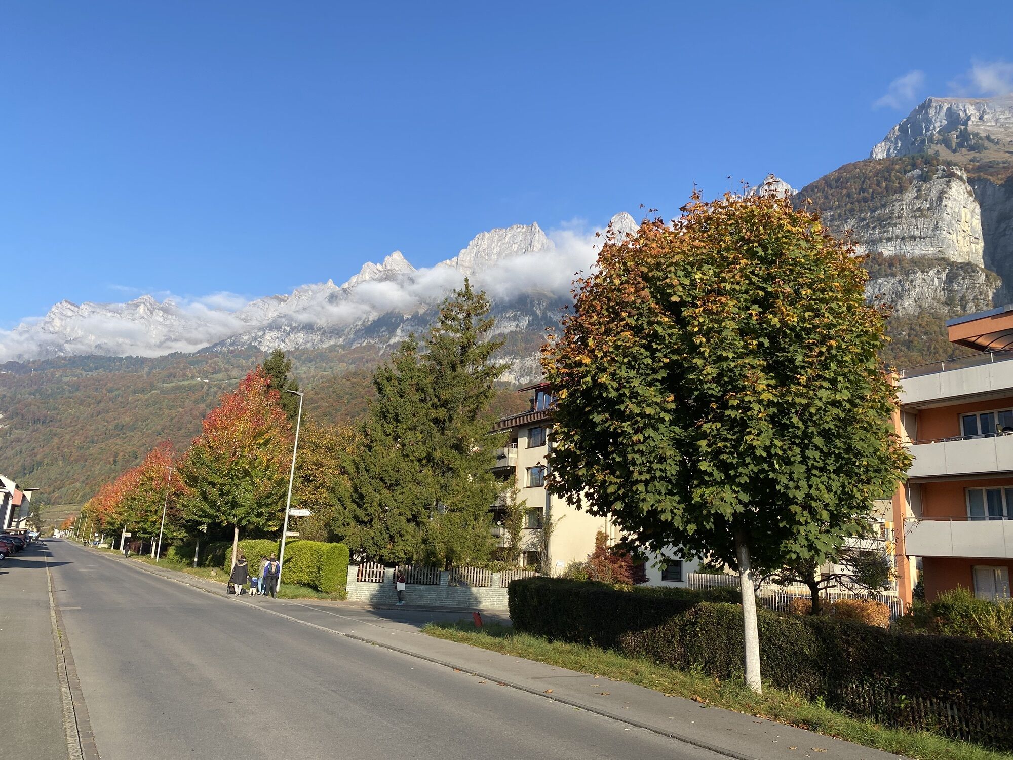
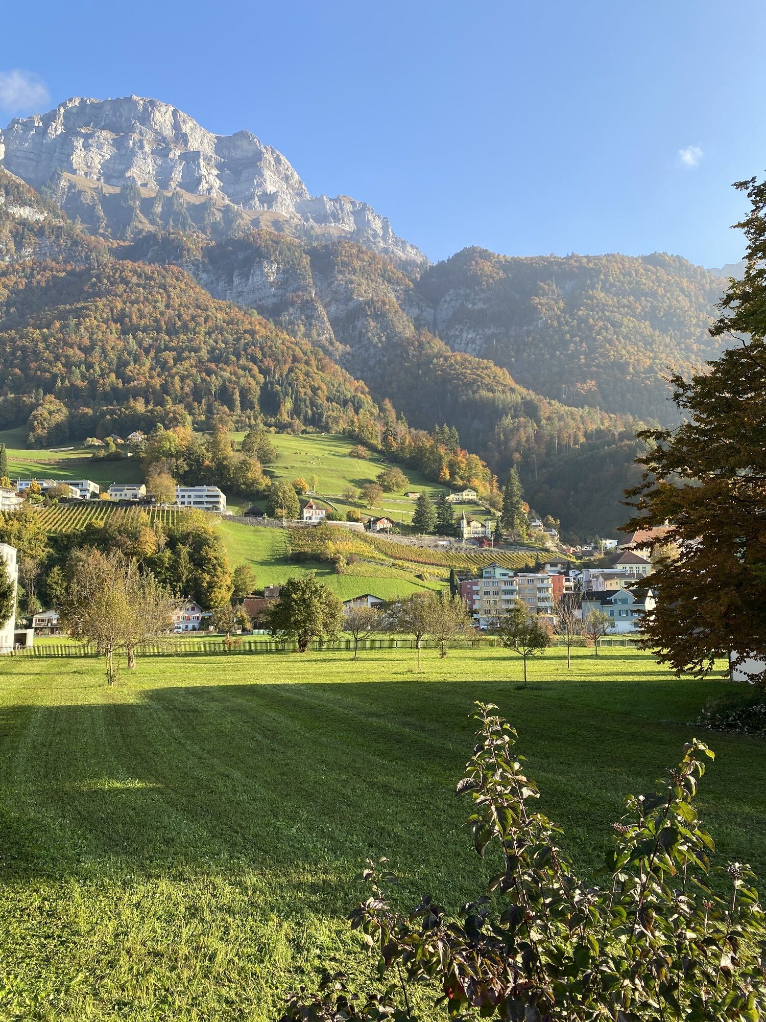
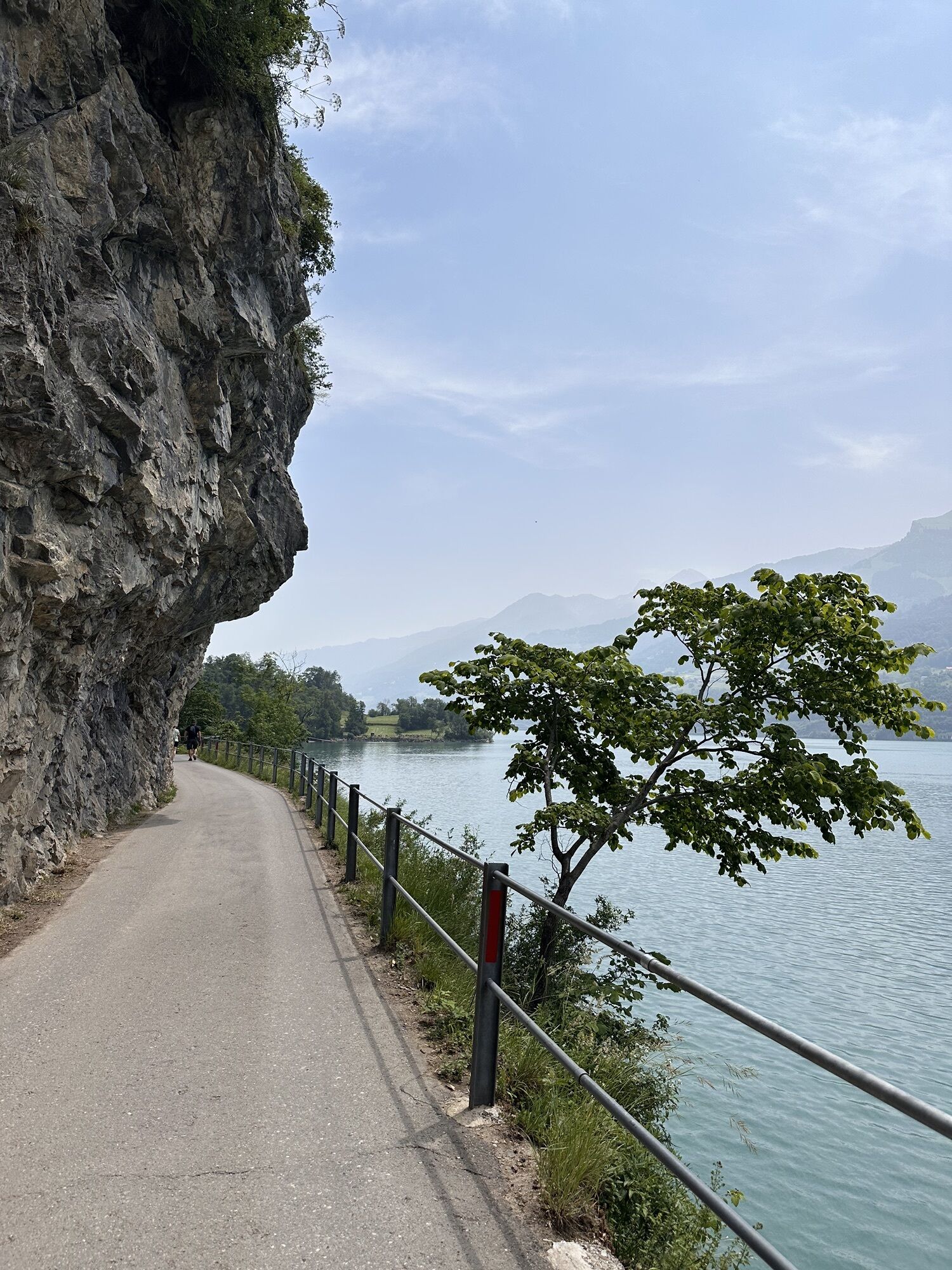
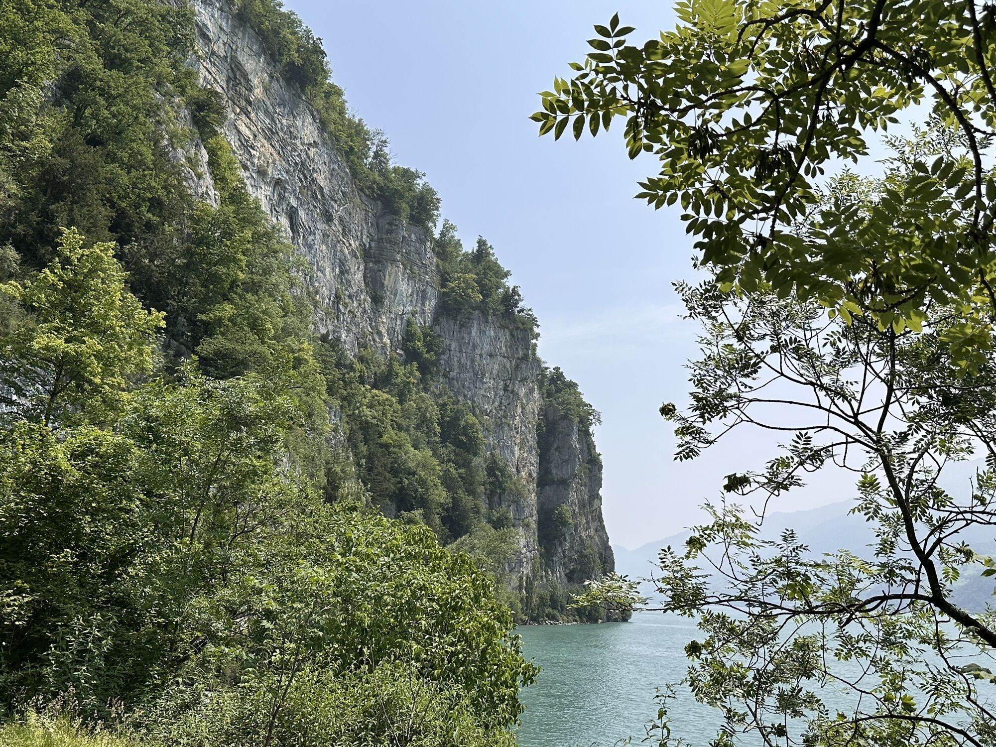
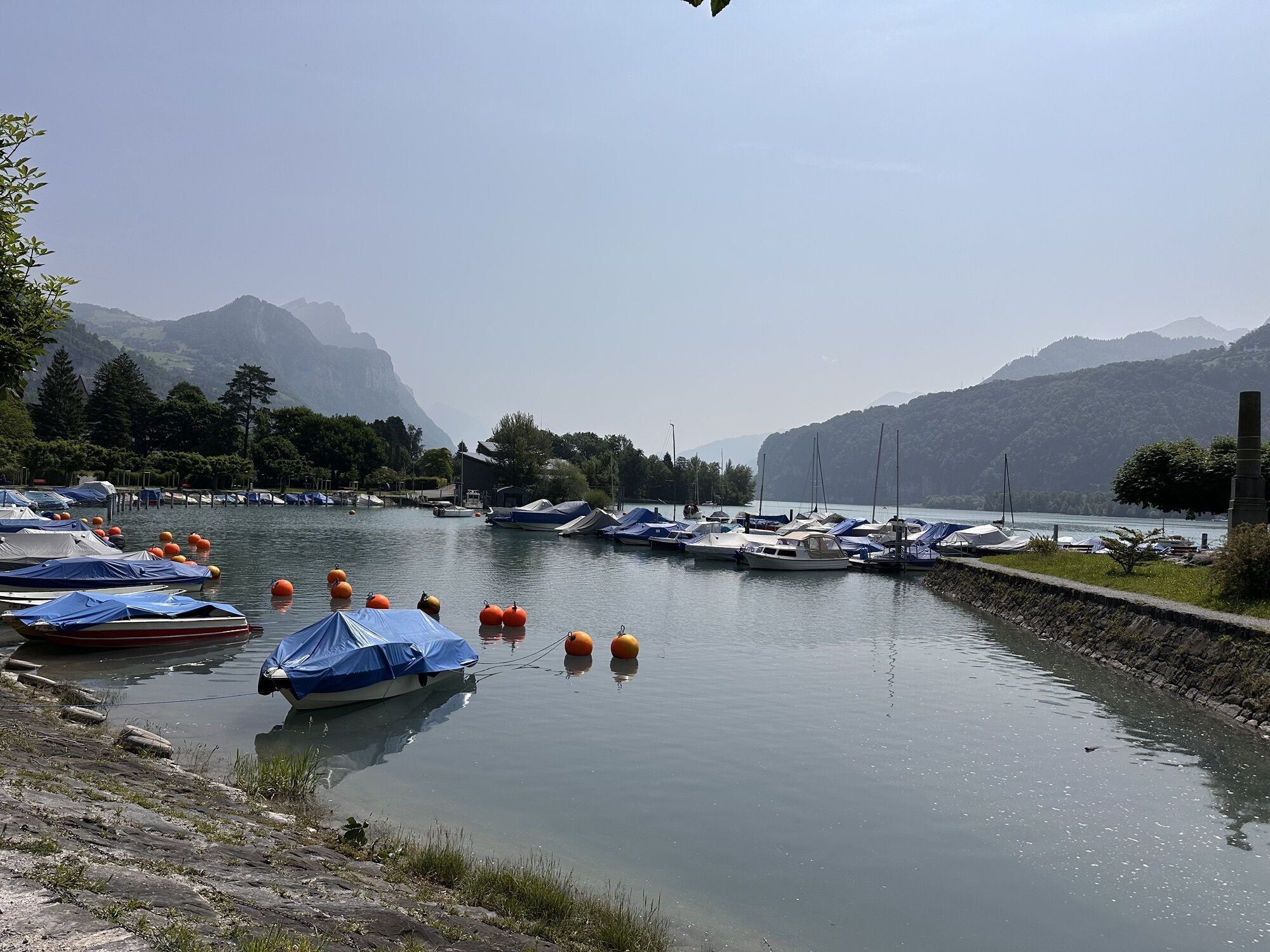
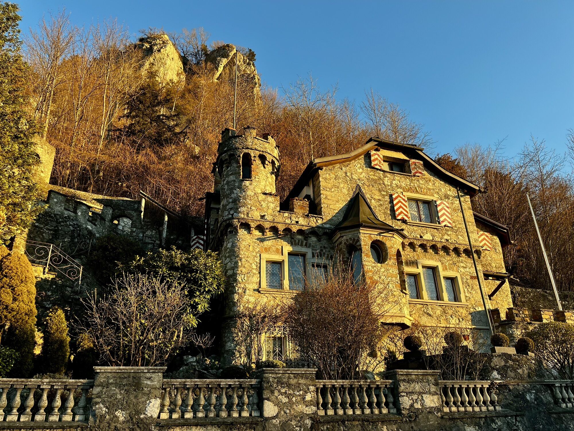
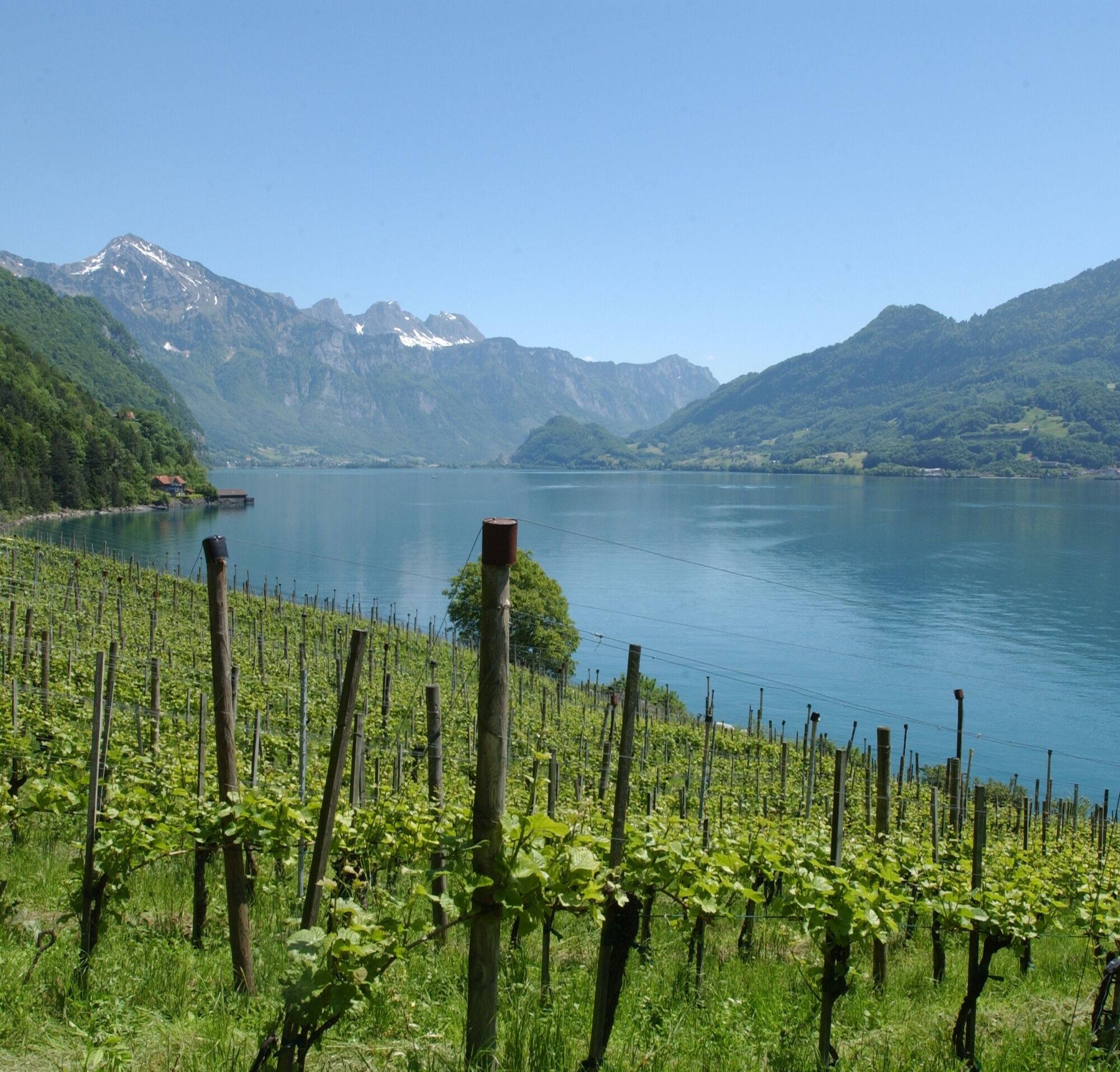
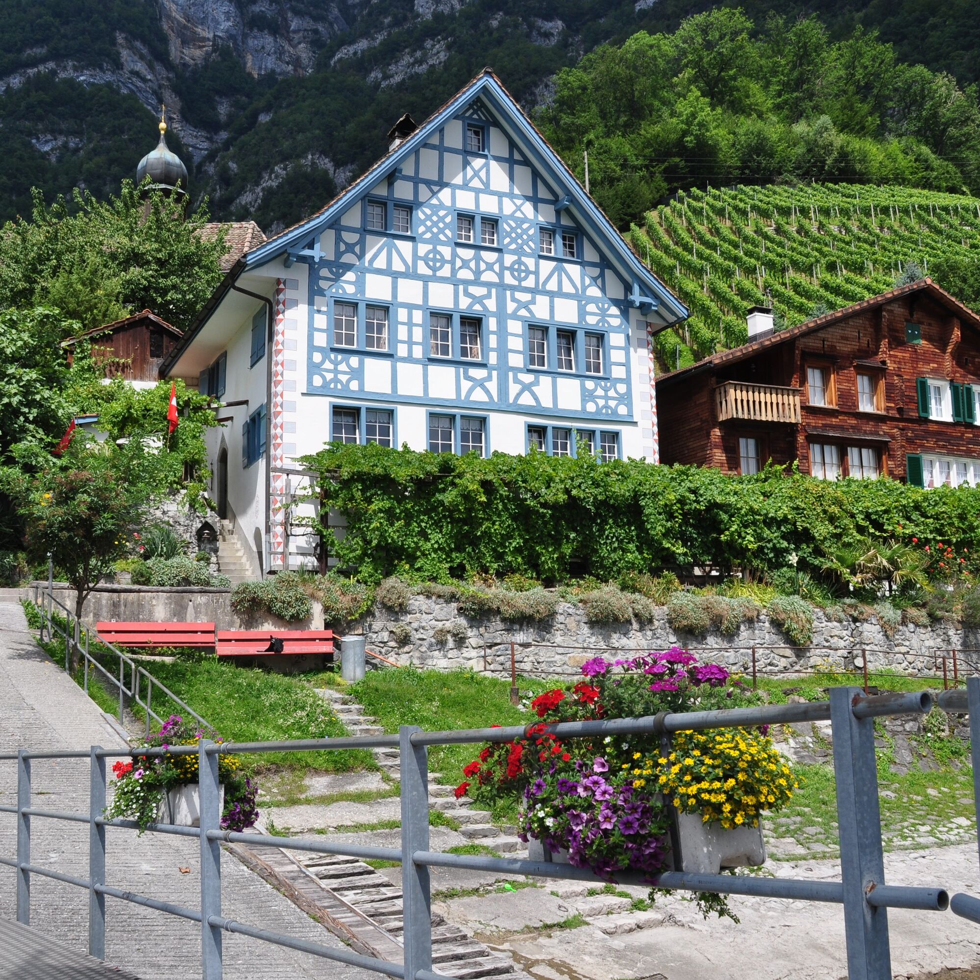
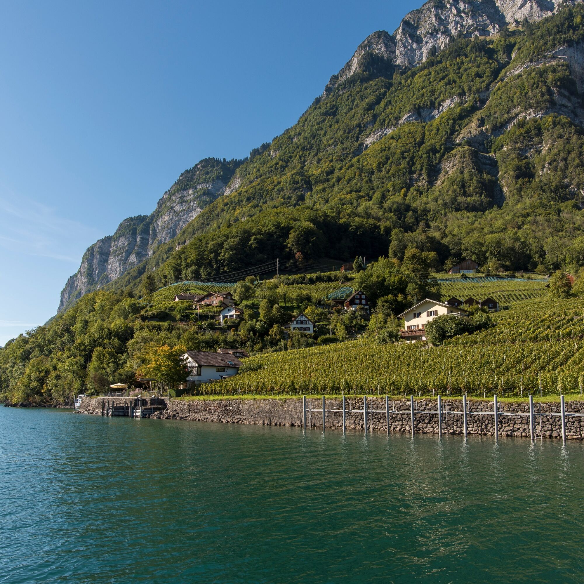
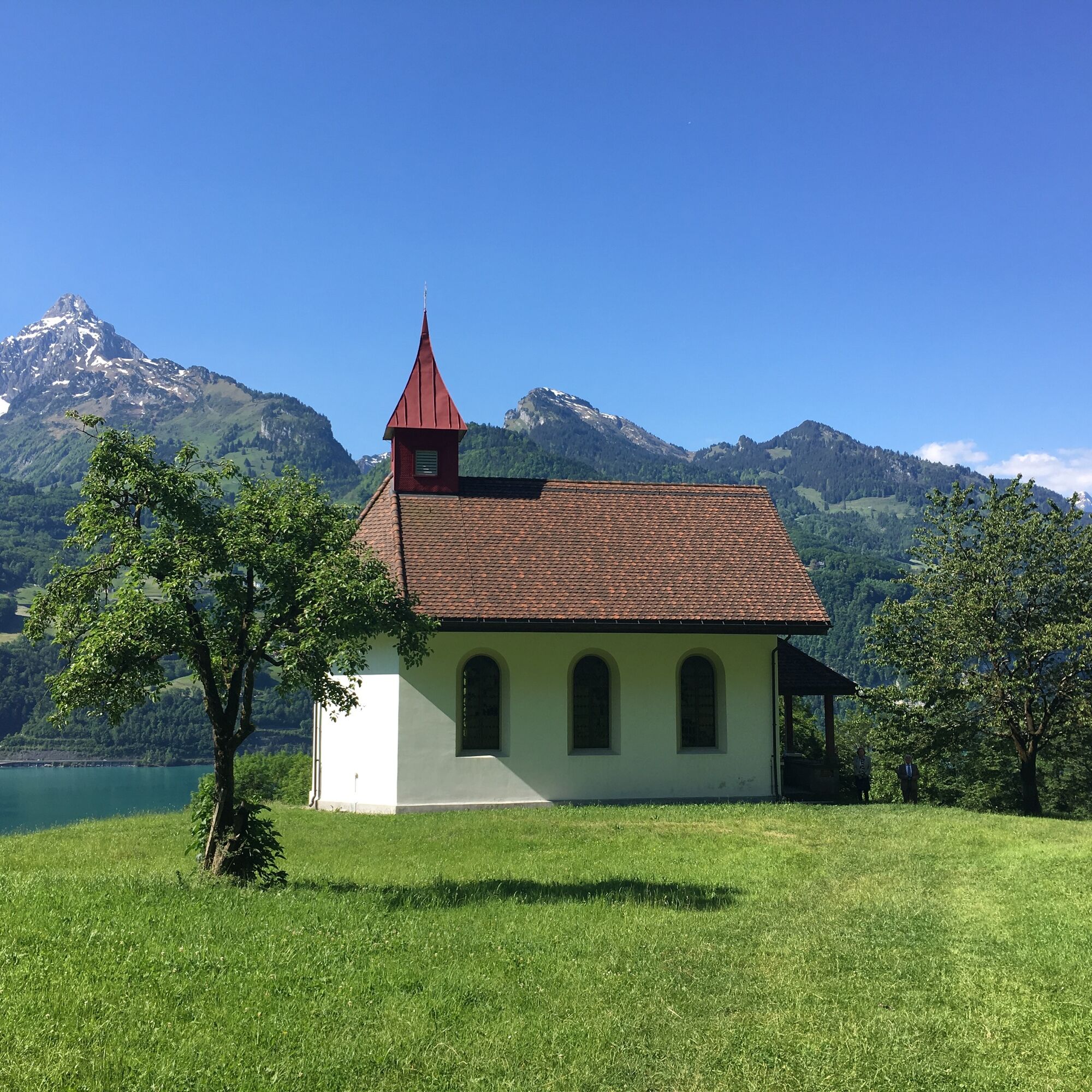
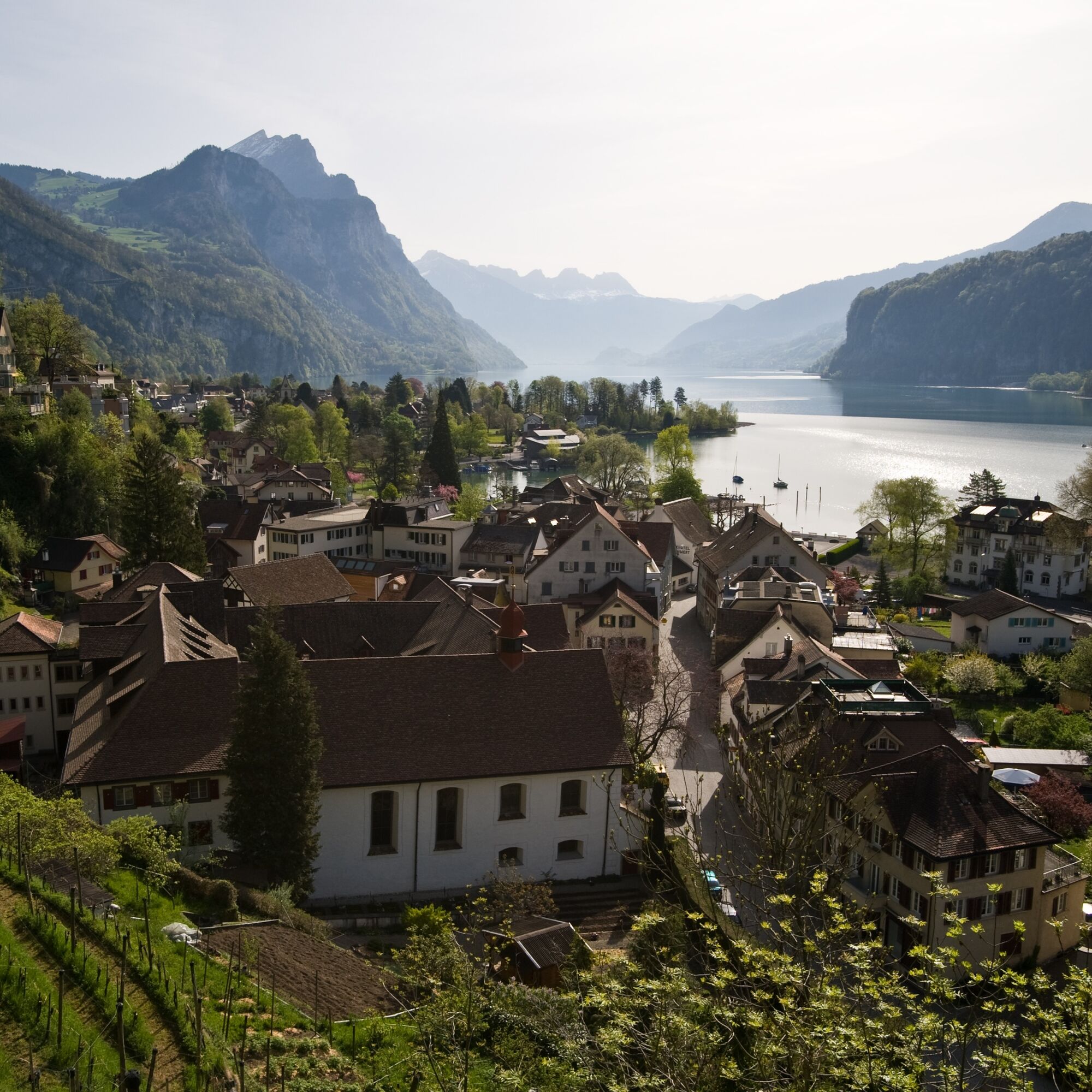
We leave the Weesen quay and walk along the main road, past the Catholic Flikirche church, to the hamlet of Fli. The path to Betlis, at times high above the water level, is carved into the rock and has tunnels. In the Talegg forest, a path branches off to the right to the Betlis bay with a fireplace. We hike on to Höfli - Strahlegg, where we enjoy the magnificent panoramic view. Opposite us are Filzbach and Obstalden on the Kerenzerberg, with Mürtschenstock, Nüenchamm and Firzstock above. A detour to the former Roman watchtower Strahlegg from 1386 is worthwhile. After Vorderbetlis, we visit the impressive Seerenbach waterfalls (option A). From a height of 600 m, the water cascades down into the valley in several stages. We watch a second water spectacle from a viewing platform. From a cave in the gorge wall, especially after heavy rain or when the snow melts, the huge volumes of water from the Rin spring shoot over the 48 m high rock face into the Seerenbach. Back on the hiking trail, we cross the deep ravine of the Seerenbach stream on a narrow footbridge, then the slightly ascending path leads into the Seerenwald forest and down a partly exposed rocky path to Quinten, one of the few places in Switzerland that is still car-free. The mild climate allows figs, lemons, sweet chestnuts and an excellent wine to ripen. We continue along the lake on a wide, beautifully laid out path, cross the delta of the Aubach in Quinten Au and reach Josen. The path now climbs steeply to the farms of Garadur and Engen. Opposite is the Flumserberg vacation area, while the Seeztal valley with Flums and Mels opens up to the east. We cross a small section of forest again, then continue through the clearing from Brüeli to Frachtina. Through the lime forest we reach the shores of Lake Walen and the "garrison town" of Walenstadt.

Weesen - Linthkanal - Weesen harbor - Talegg - Höfli - Betlis Strahlegg - Vorder Betlis - Seerenwald - Quinten - Au - Garadur - Frachtina - Am See - Walenstadt
Tak
Normal hiking equipment, good hiking boots
The trail leads partly over slippery terrain with bare limestone rock (T3), surefootedness required.
Take the Weesen highway exit, then continue to the port.
The starting point in Weesen is easily accessible by train and bus (bus stop Weesen, harbor) from Ziegelbrücke. The same applies to the end point in Walenstadt.
Paid public parking spaces are available at the starting point at the harbor in Weesen.
Heidiland Tourismus AG, info point Flumserberg
T +41 81 720 18 18
www.heidiland.com
The car-free wine village of Quinten lies halfway along the route and is home to two restaurants. It's worth planning time for a break!
Aktywności na trasie

Amden, St. Gallen/Schweiz
30.05.2026 – WędrówkaGlarus Nord, Glarus/Schweiz
24.05.2026 – Wędrówka
Amden, St. Gallen/Schweiz
23.05.2026 – Wycieczki górskie
Weesen, St. Gallen/Schweiz
23.05.2026 – WędrówkaWalenstadt, St. Gallen/Schweiz
14.05.2026 – Wędrówka
Amden, St. Gallen/Schweiz
01.05.2026 – WędrówkaAmden, St. Gallen/Switzerland
18.04.2026 – Wędrówka
Walenstadt, St. Gallen/Schweiz
15.04.2026 – Wędrówka
Betlis, St. Gallen/Schweiz
09.04.2026 – Wycieczki górskie
Walenstadt, St. Gallen/Schweiz
05.04.2026 – WędrówkaAmden, St. Gallen/Switzerland
04.04.2026 – WędrówkaAmden, St. Gallen/Schweiz
04.04.2026 – WędrówkaWalenstadt, St. Gallen/Schweiz
19.03.2026 – WędrówkaAmden, St. Gallen/Schweiz
02.02.2026 – Wędrówka
Amden, St. Gallen/Schweiz
08.11.2025 – Wędrówka
Weesen, St. Gallen/Switzerland
07.11.2025 – Wędrówka
Quinten, St. Gallen/Schweiz
31.10.2025 – Wędrówka

Walenstadt, St. Gallen/Schweiz
18.10.2025 – WędrówkaAmden, St. Gallen/Schweiz
26.09.2025 – WędrówkaAmden, St. Gallen/Schweiz
18.08.2025 – Wędrówka
Popularne wycieczki w okolicy
- 4,8
Walensee Riviera Weesen - Quinten
średniWędrówka 10,2 km - 4,7
Riviera Lake Walen Walenstadt-Quinten
średniWędrówka 10,4 km - 4,6
4-Summit-Route Flumserberg
średniWędrówka 8,65 km - 5,0
Schrina Alp and Cultural Trail
średniTrasa tematyczna 11,5 km - 4,9
Quarten - Murgseehütte - Berggasthaus Murgsee - Glarus Nord
średniWędrówka 14,7 km - 4,7
Quinten-Trail 453
średniBieganie 8,97 km - 4,5
Amden - Speer (Rundkurs)
światłoWędrówka 17,6 km - 4,0
Winter hike on the Rosenboden panoramic circular route
światłoWędrówka zimą 2,95 km - 4,7
Mädems Trail
średniRakieta do chodzenia po śniegu 7,48 km - 4,6
Säntis
średniWycieczki górskie 17,5 km

Wędrówki i tropienie


Nie przegap ofert i inspiracji na następne wakacje
Twój adres e-mail została dodana do listy mailingowej.