


Riviera Lake Walen Walenstadt-Quinten


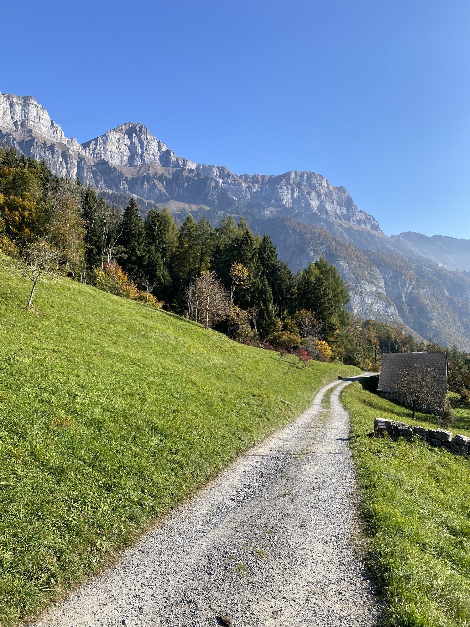

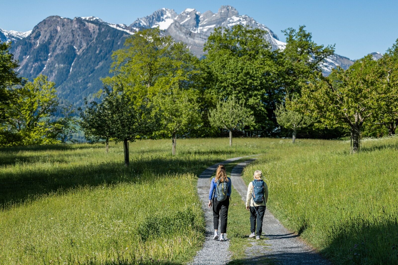
From Walenstadt train station towards Hotel Seehof, a paved road runs along the right lakeshore. After the playground, a rising gravel path begins on the right side through the forest up to Garadur (Walenstadtberg)....
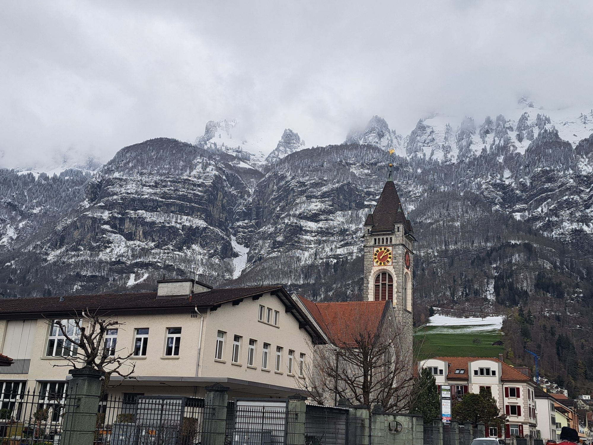
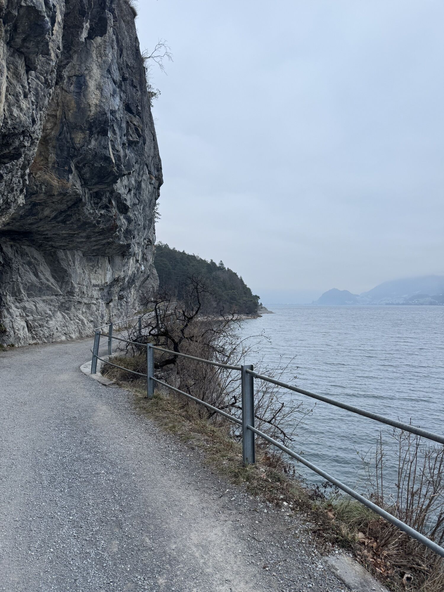
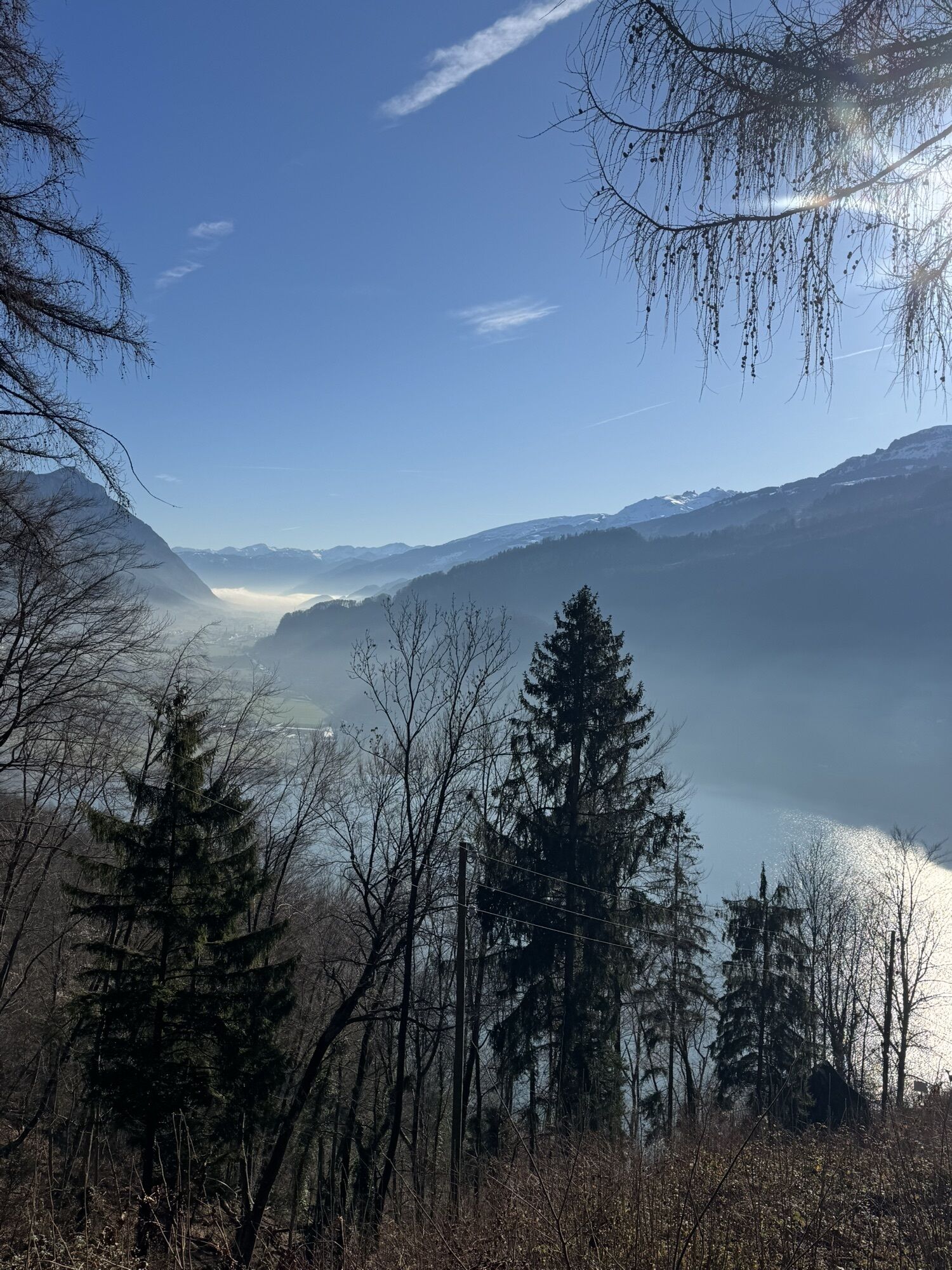
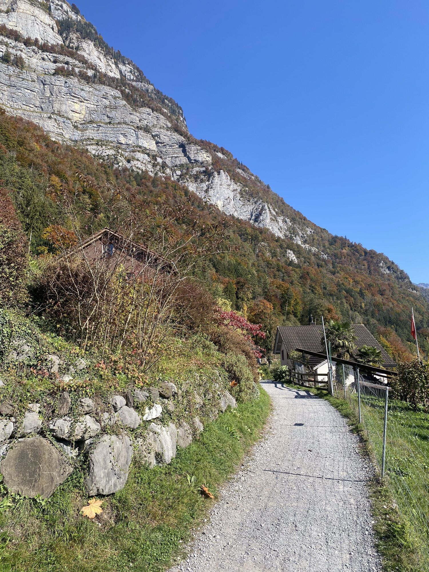
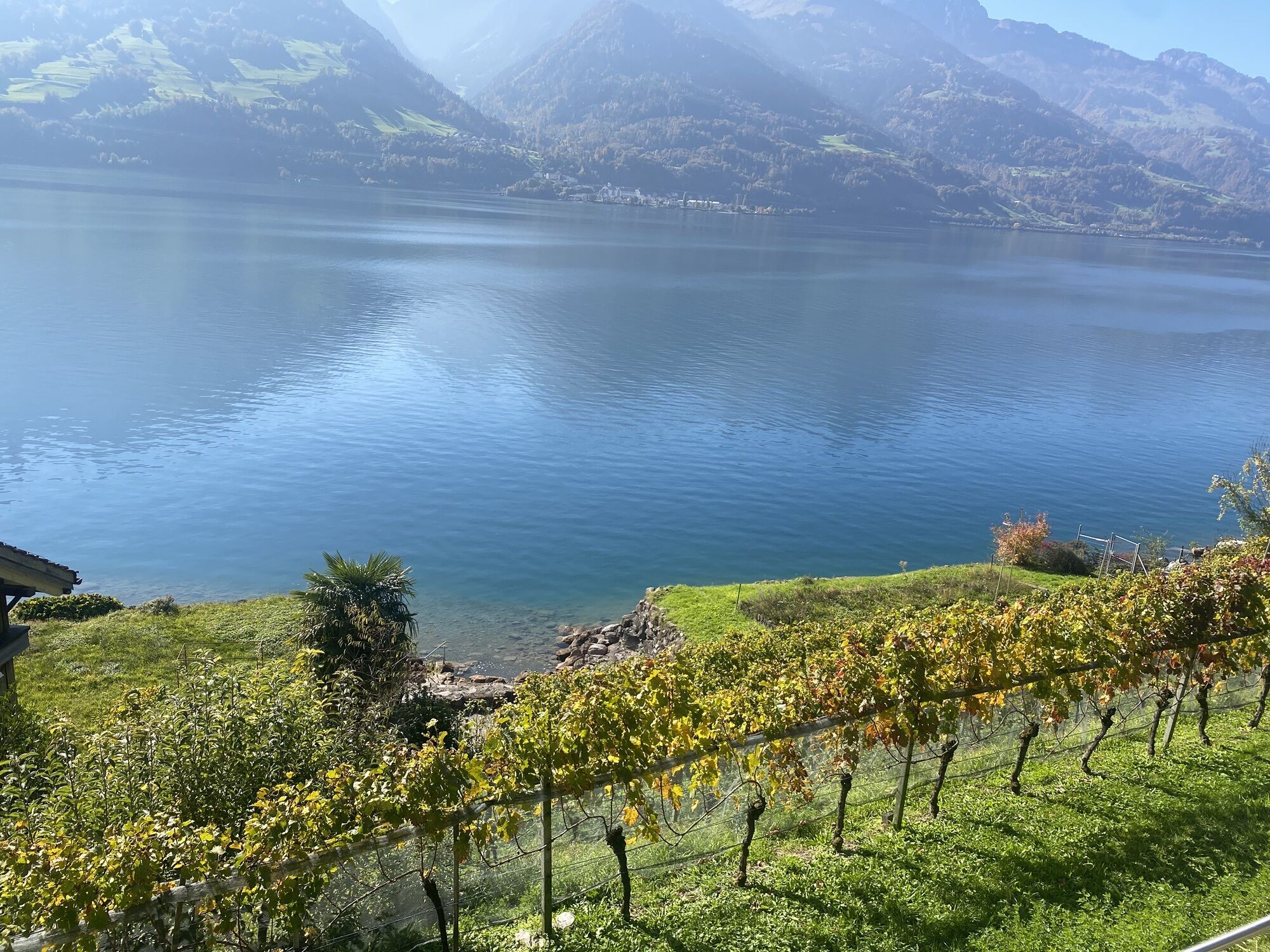
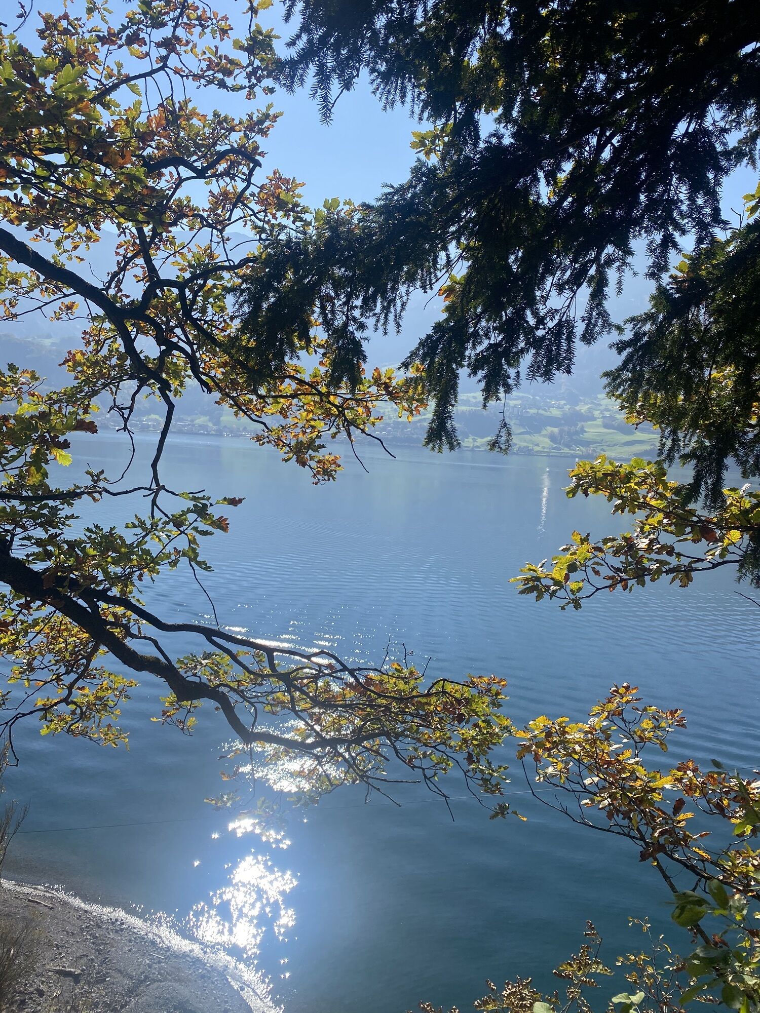
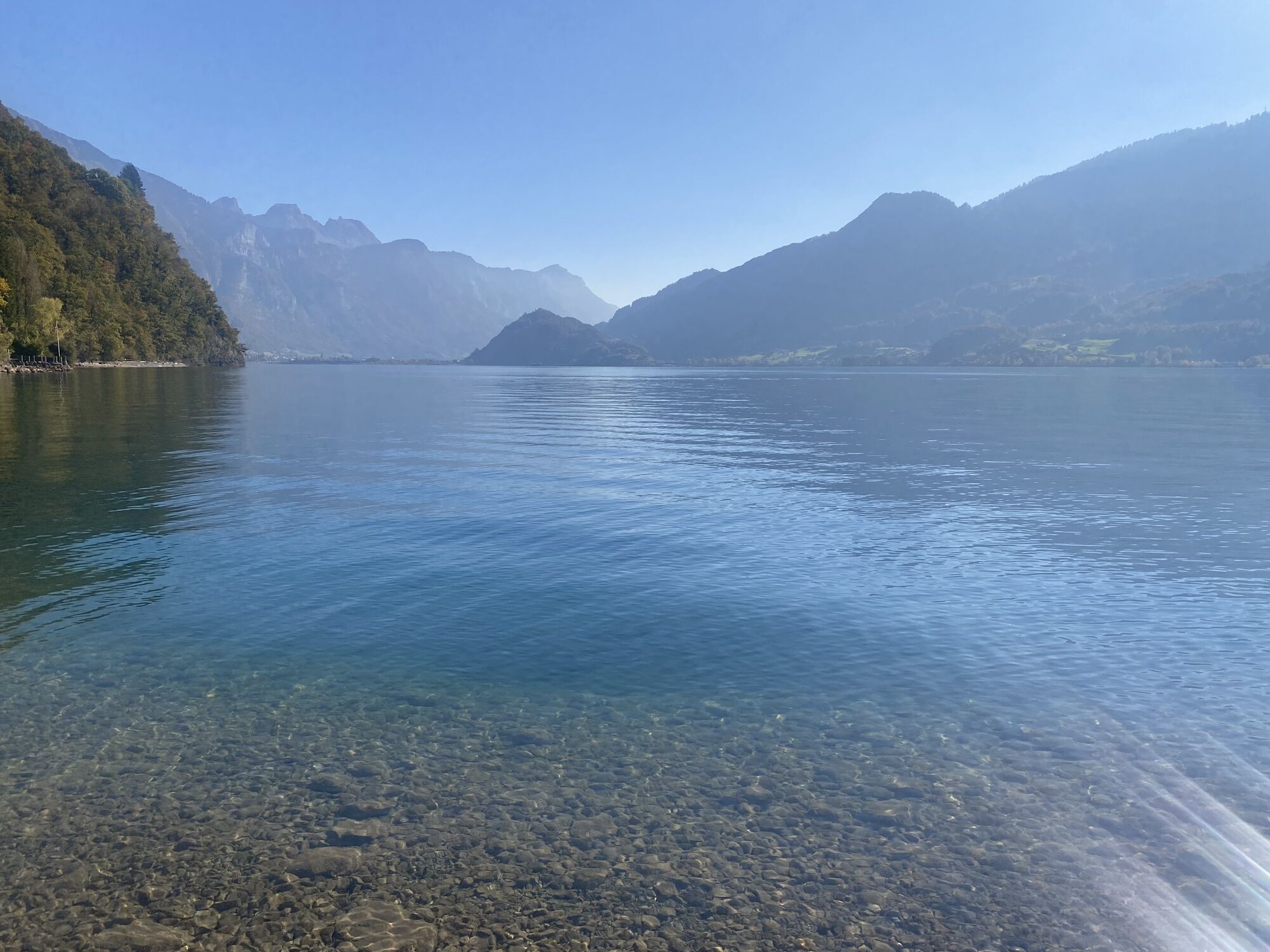
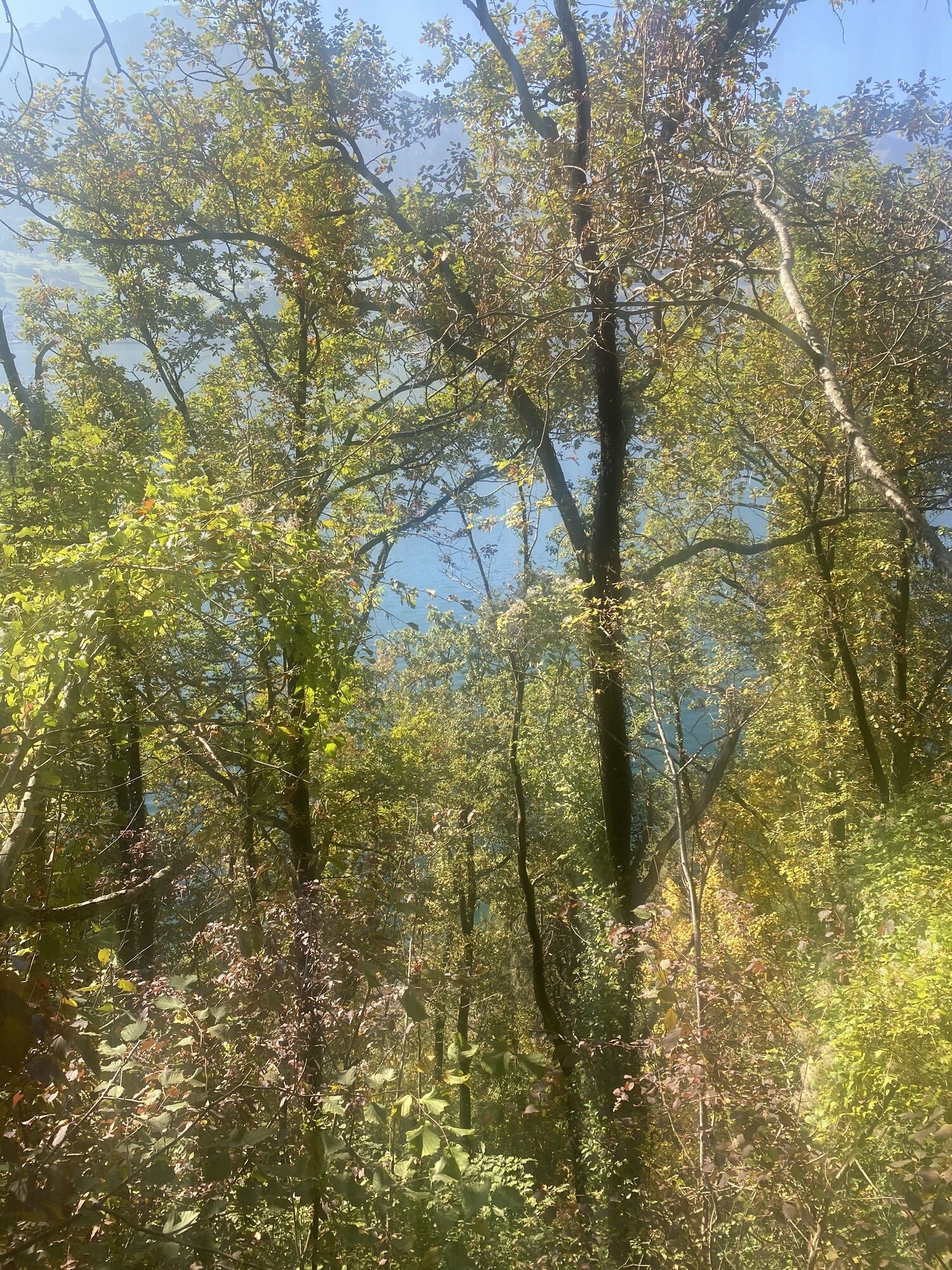
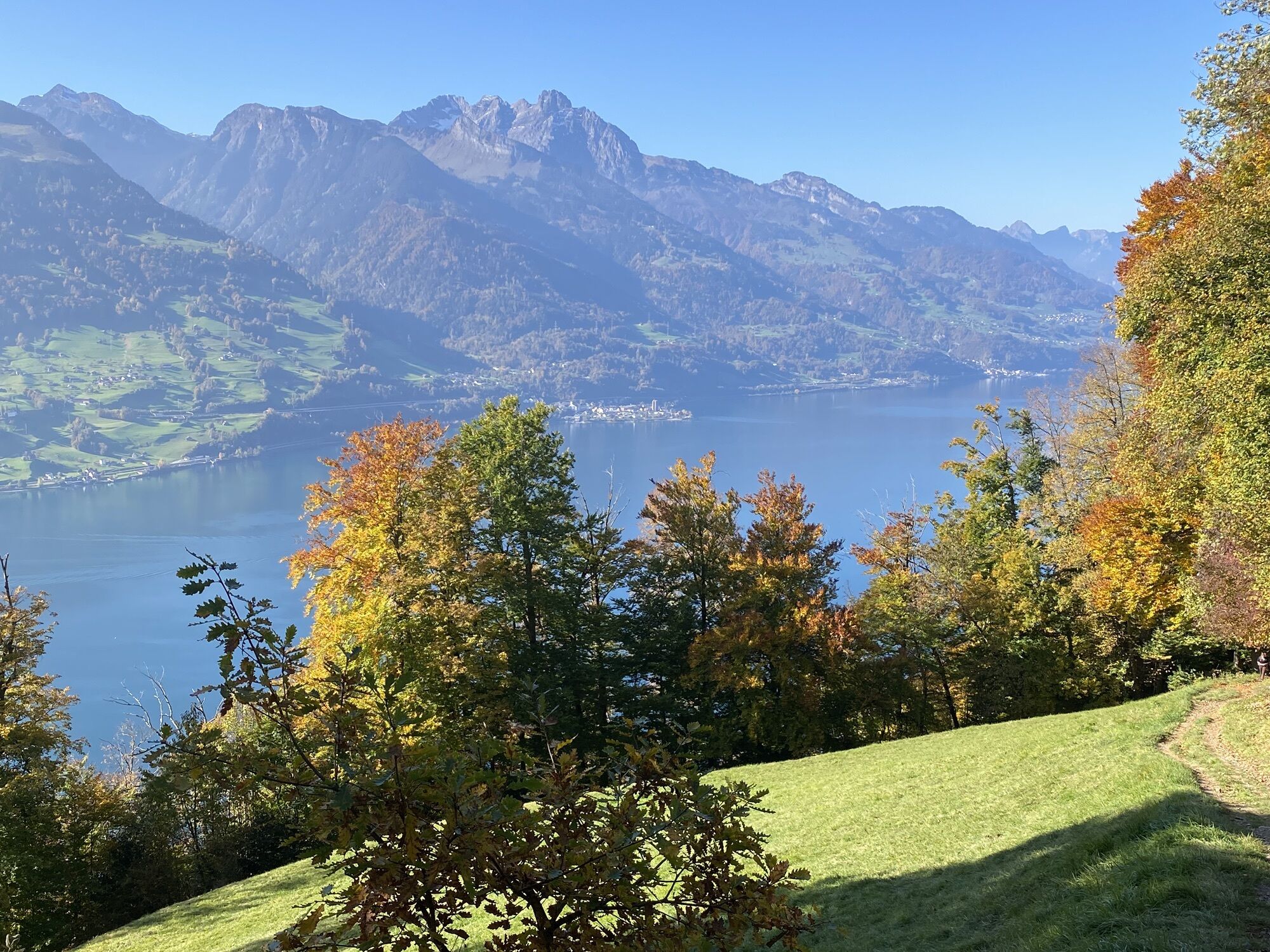
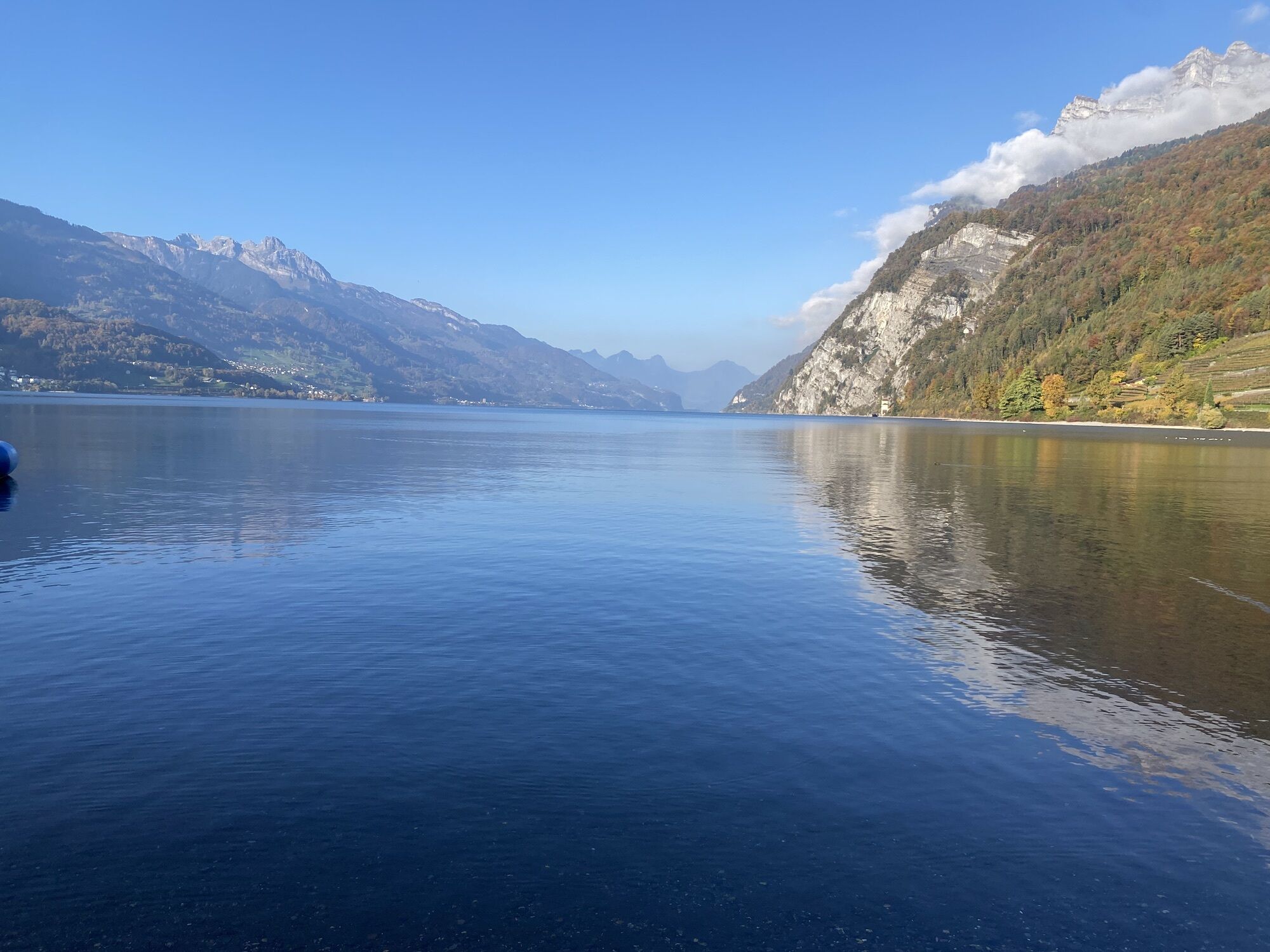
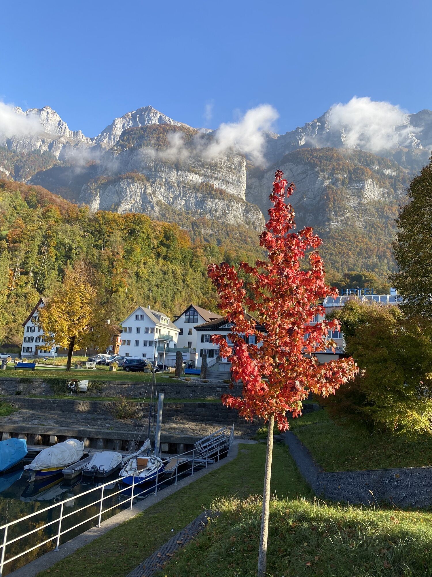
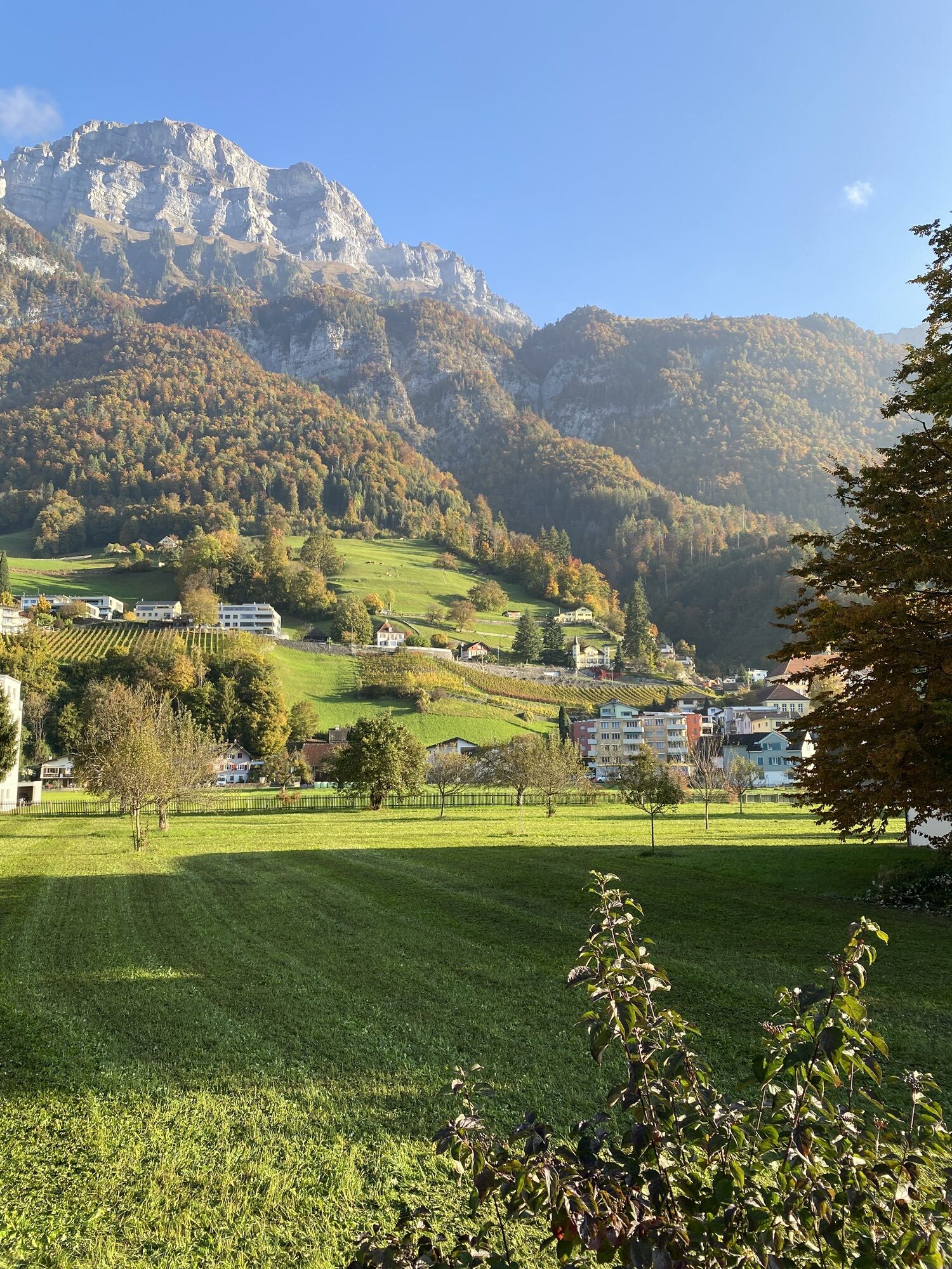
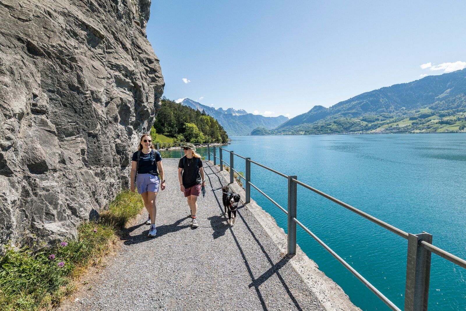
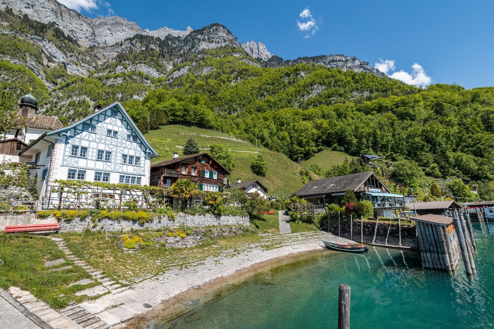
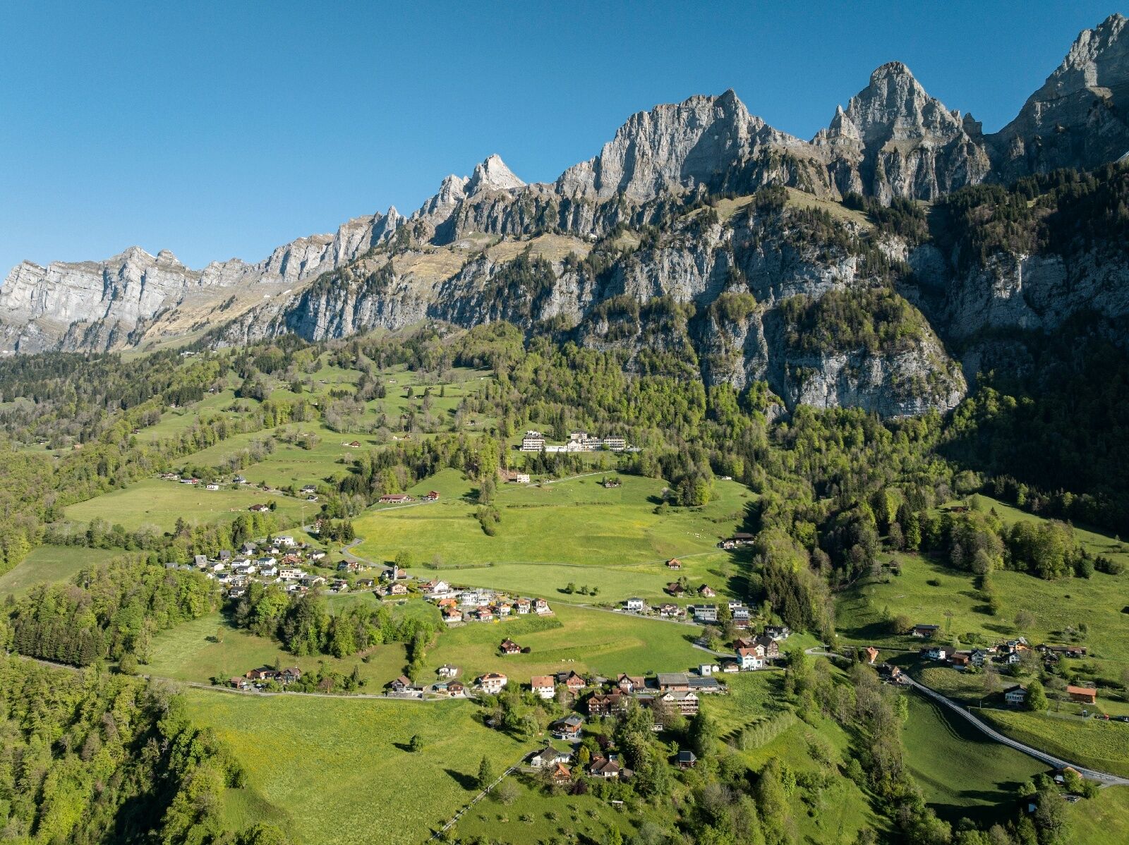
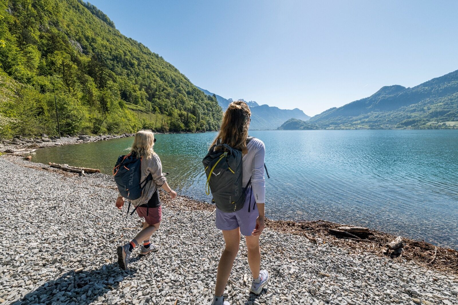
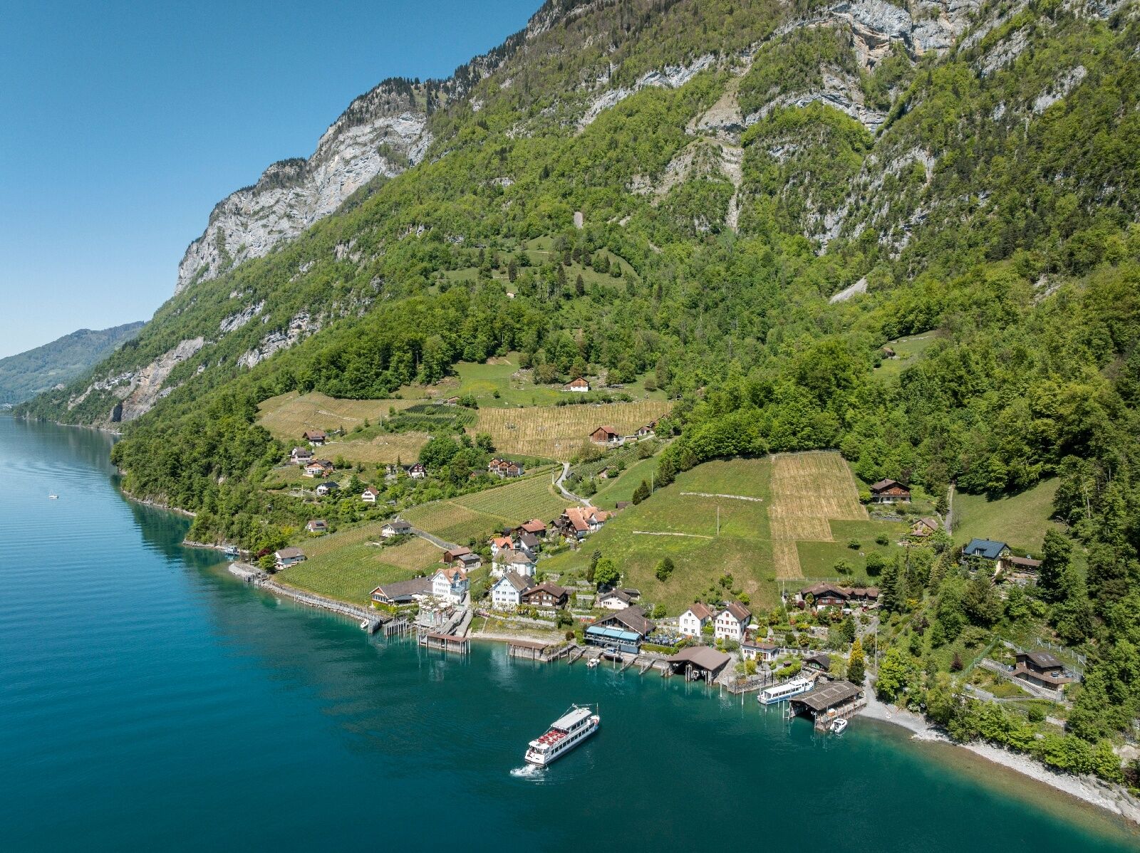
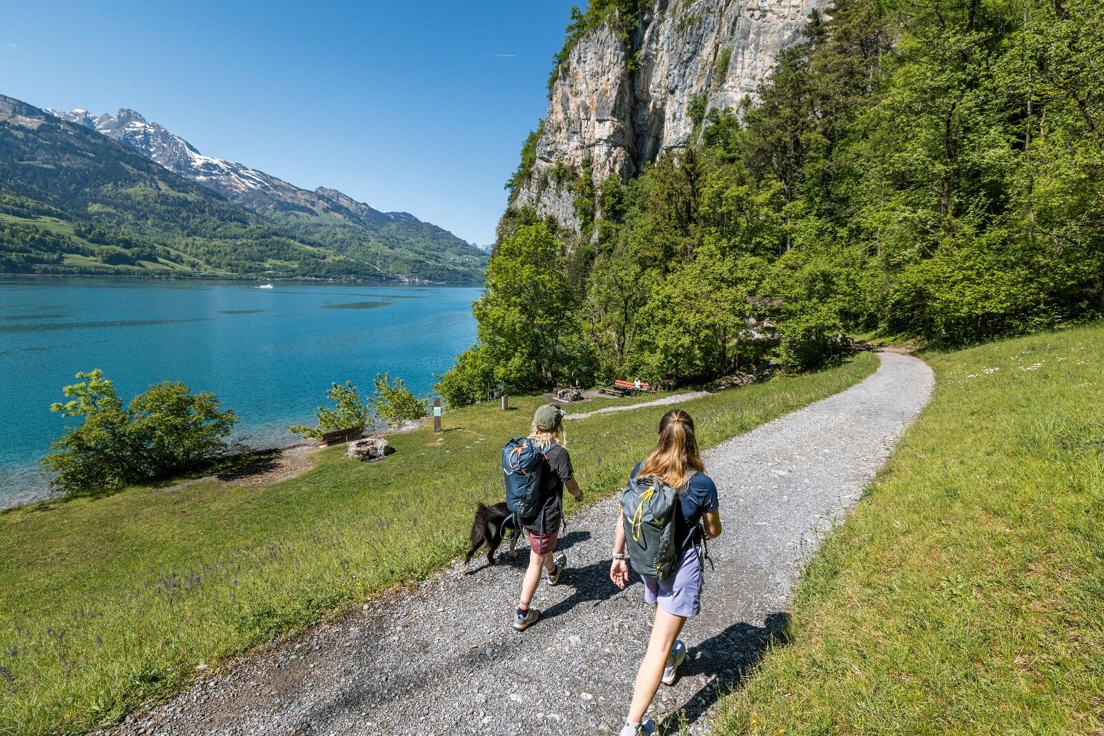
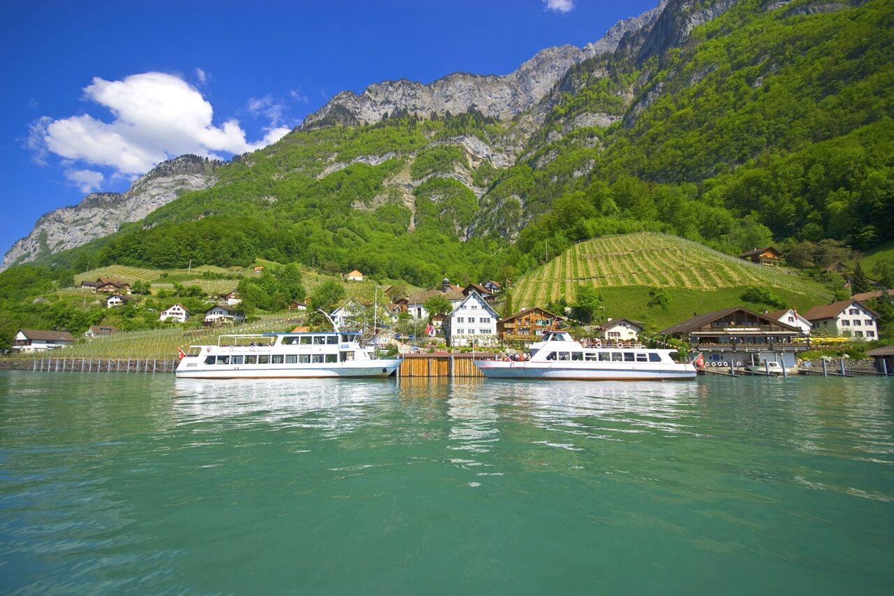
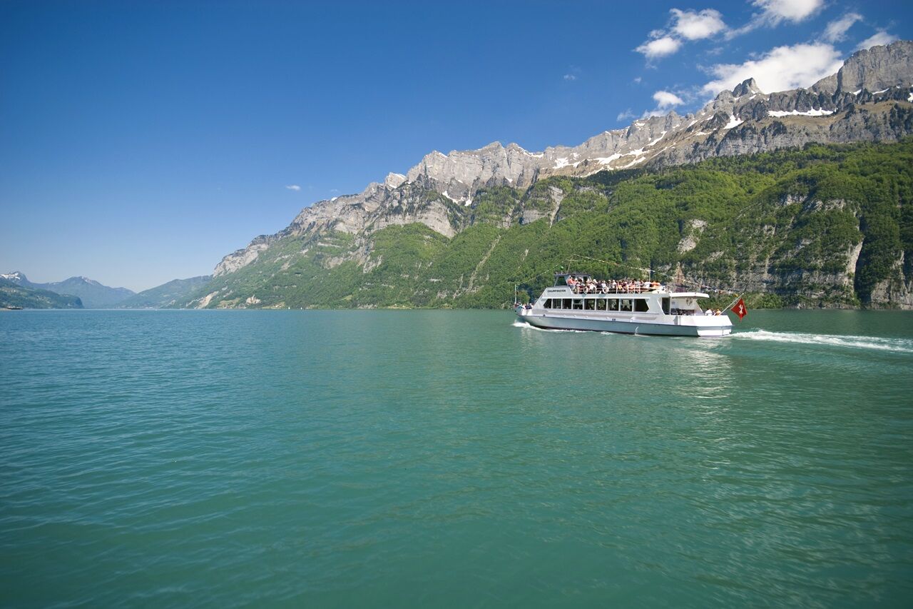
From Walenstadt train station towards Hotel Seehof, a paved road runs along the right lakeshore. After the playground, a rising gravel path begins on the right side through the forest up to Garadur (Walenstadtberg). This path can also be covered by the post bus from Walenstadt to the "Alte Post" station. This shortens the hike by about 1 hour 15 minutes. The single-track hiking trail then continues through the forest in a zigzag course back to the lake. Once reached, a beautiful hike follows the lake all the way to the car-free hamlet of Quinten. Here, there is an almost Mediterranean climate that allows exotic fruits like kiwis and figs to thrive. From there, you take a leisurely boat trip to the other side of the lake to Murg and then return to Walenstadt by train.

Walenstadt - Garadur (Walenstadtberg) - Au - Quinten
Sturdy footwear is recommended. On warm summer days, it can be very hot as the path runs partly close to the rock face. Sun protection and sufficient fluids for the journey are a must.
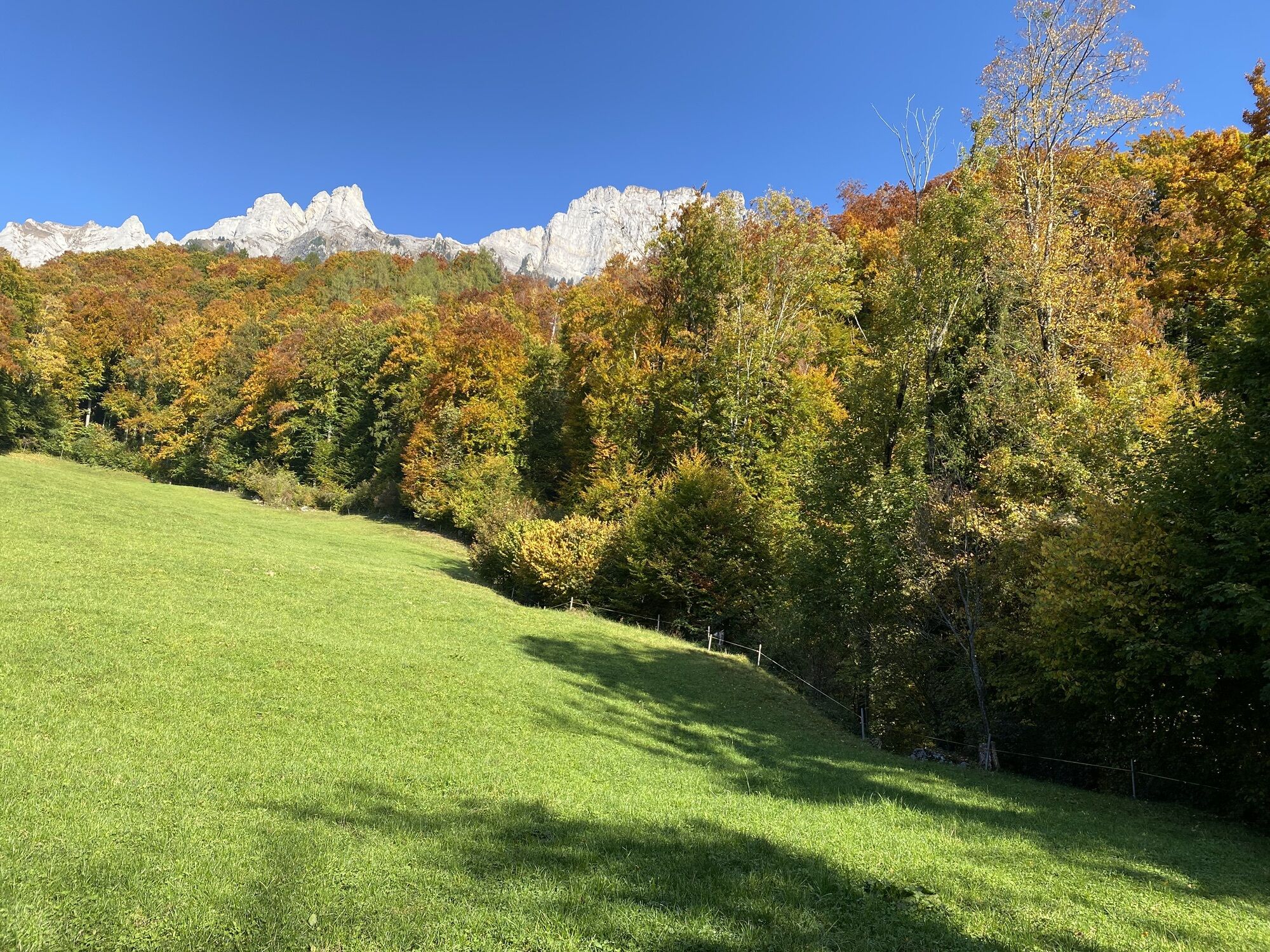
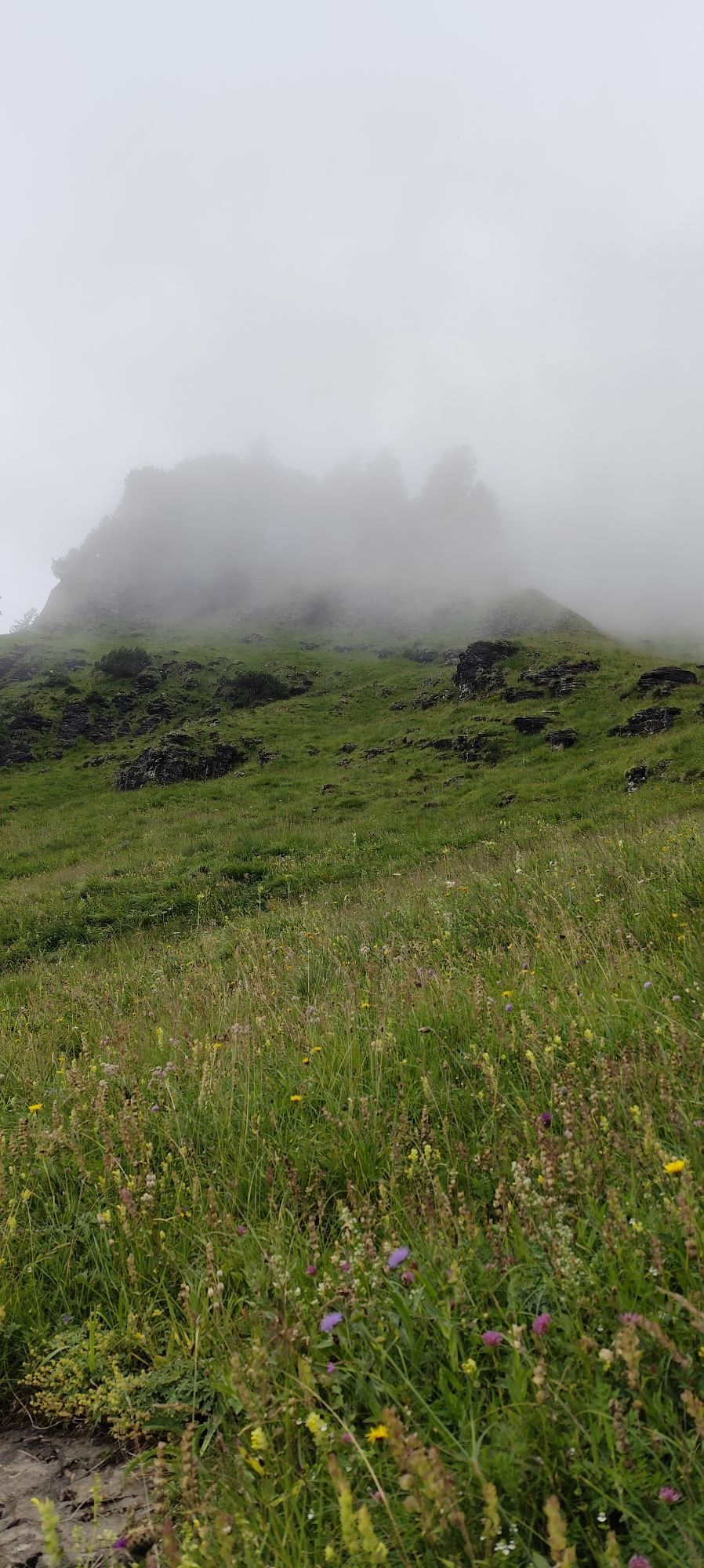
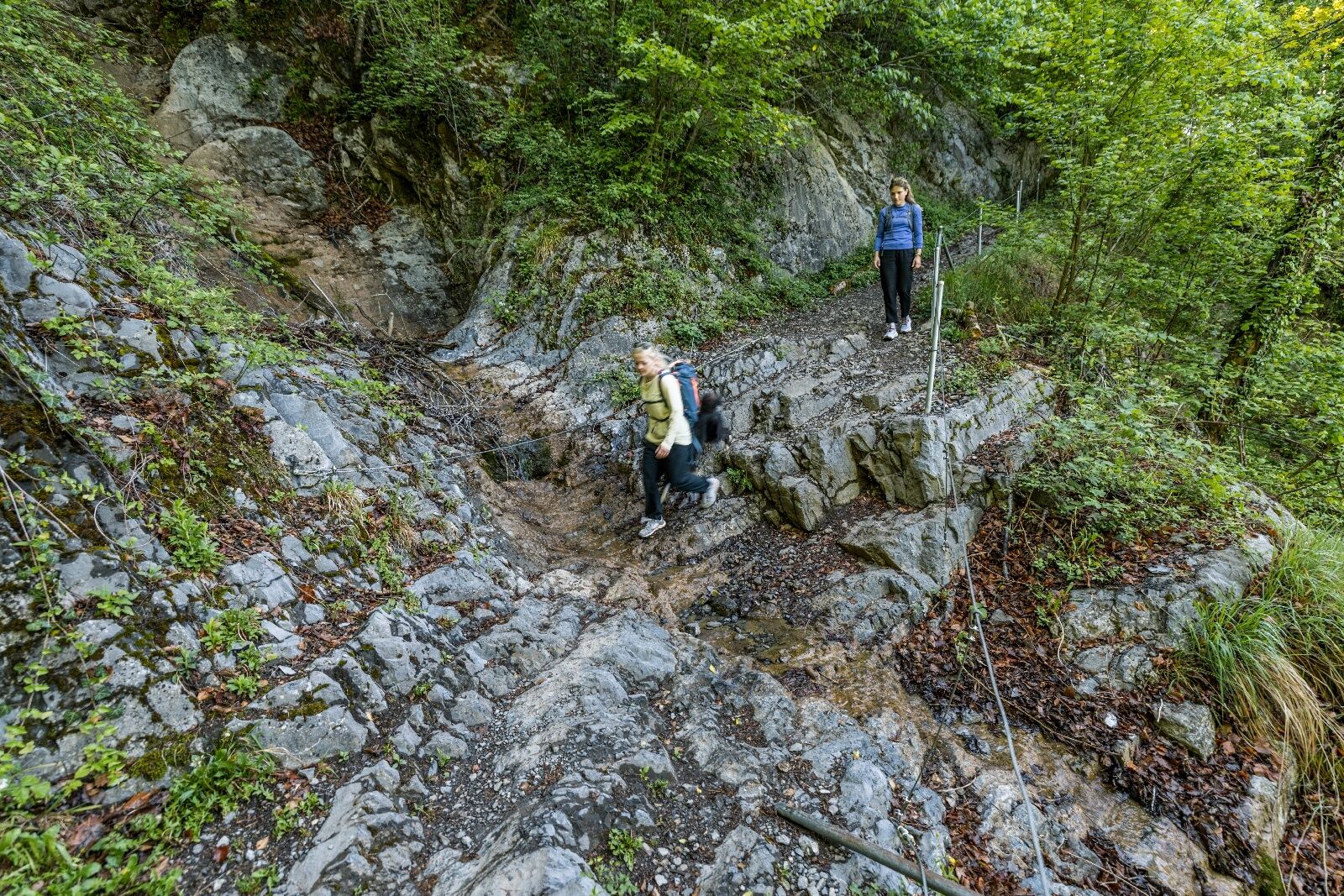
When descending through the Josenwald from Garadur to Josenhab, there can be slippery sections depending on the weather.
Coming from Sargans: motorway exit Flums, then continue on the main road to Walenstadt train station
Coming from Zurich: motorway exit Walenstadt, then continue on the main road to Walenstadt train station
The starting point in Walenstadt is well connected by train and bus. From Quinten, you return to Walenstadt by boat and train.
Paid public parking is available at the starting point at Walenstadt train station (P+R).
Walensee Shipping Company AG
T +41 81 720 34 34, www.walenseeschiff.ch
Heidiland Tourism AG, Flumserberg Info Office
Tel +41 81 720 18 18, www.heidiland.com
During the summer season, the return journey from Quinten to Walenstadt can also be made directly by boat with appropriate planning of the route.
Kamery internetowe z trasy
Aktywności na trasie

Walenstadt, St. Gallen/Schweiz
24.06.2026 – WędrówkaWalenstadt - Quinten
21.06.2026 – Przechadzka
Walenstadt, St. Gallen/Schweiz
13.06.2026 – WędrówkaWalenstadt, St. Gallen/Schweiz
14.05.2026 – Wędrówka
Walenstadt, St. Gallen/Switzerland
09.05.2026 – Wędrówka
Walenstadt, St. Gallen/Schweiz
15.04.2026 – Wędrówka
Walenstadt, St. Gallen/Schweiz
05.04.2026 – WędrówkaWalenstadt, St. Gallen/Schweiz
19.03.2026 – Wędrówka
Quinten, St. Gallen/Schweiz
31.10.2025 – Wędrówka

Walenstadt, St. Gallen/Schweiz
18.10.2025 – WędrówkaWalenstadt, St. Gallen/Schweiz
18.08.2025 – Wędrówka
Walenstadtberg - Quinten
13.07.2018 – Wędrówka
Popularne wycieczki w okolicy
- 4,8
Walensee Riviera Weesen - Quinten
średniWędrówka 10,2 km - 4,6
Weesen - Quinten - Walenstadt
ciężkiWędrówka 20,6 km - 4,7
Alvier
średniWędrówka 3,33 km - 4,6
4-Summit-Route Flumserberg
średniWędrówka 8,65 km - 4,4
7-Peak Tour Flumserberg
ciężkiWędrówka 15,0 km - 4,6
Schwägalp - Berggasthaus Tierwies - Girenspitz - Säntis
ciężkiWędrówka 4,83 km - 4,6
Amden - Speer (Rundkurs)
światłoWędrówka 17,6 km - 5,0
Schrina Alp and Cultural Trail
średniTrasa tematyczna 11,5 km - 4,7
Quinten-Trail 453
średniBieganie 8,97 km - 4,8
Mountain route over Rotsteinpass to Säntis
ciężkiWędrówka 8,53 km
Wędrówki i tropienie


Nie przegap ofert i inspiracji na następne wakacje
Twój adres e-mail została dodana do listy mailingowej.