





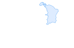

Schrina Alp and Cultural Trail
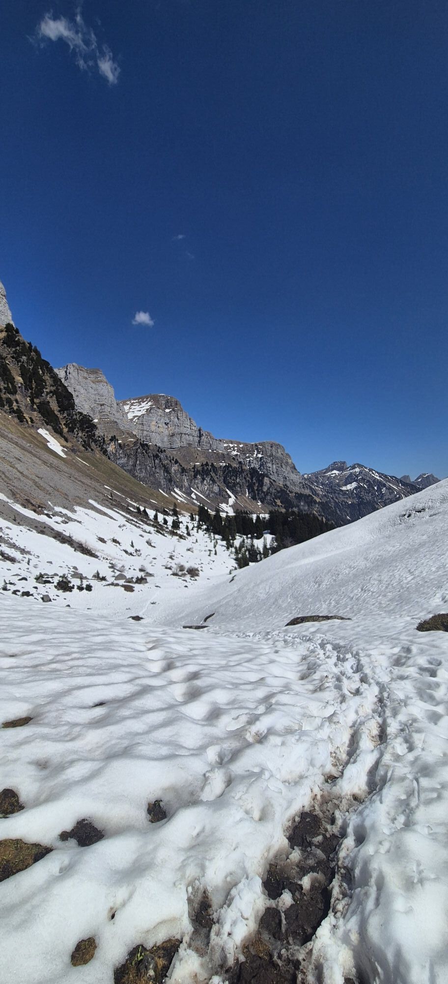
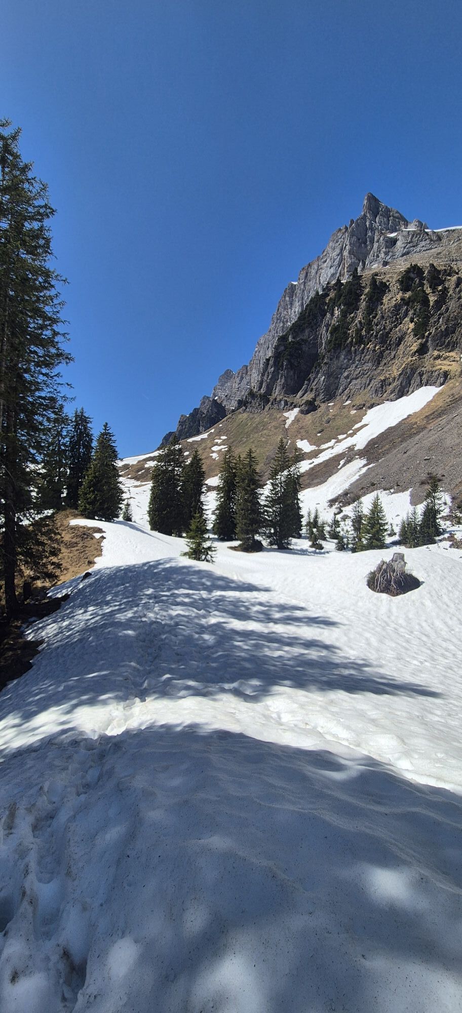
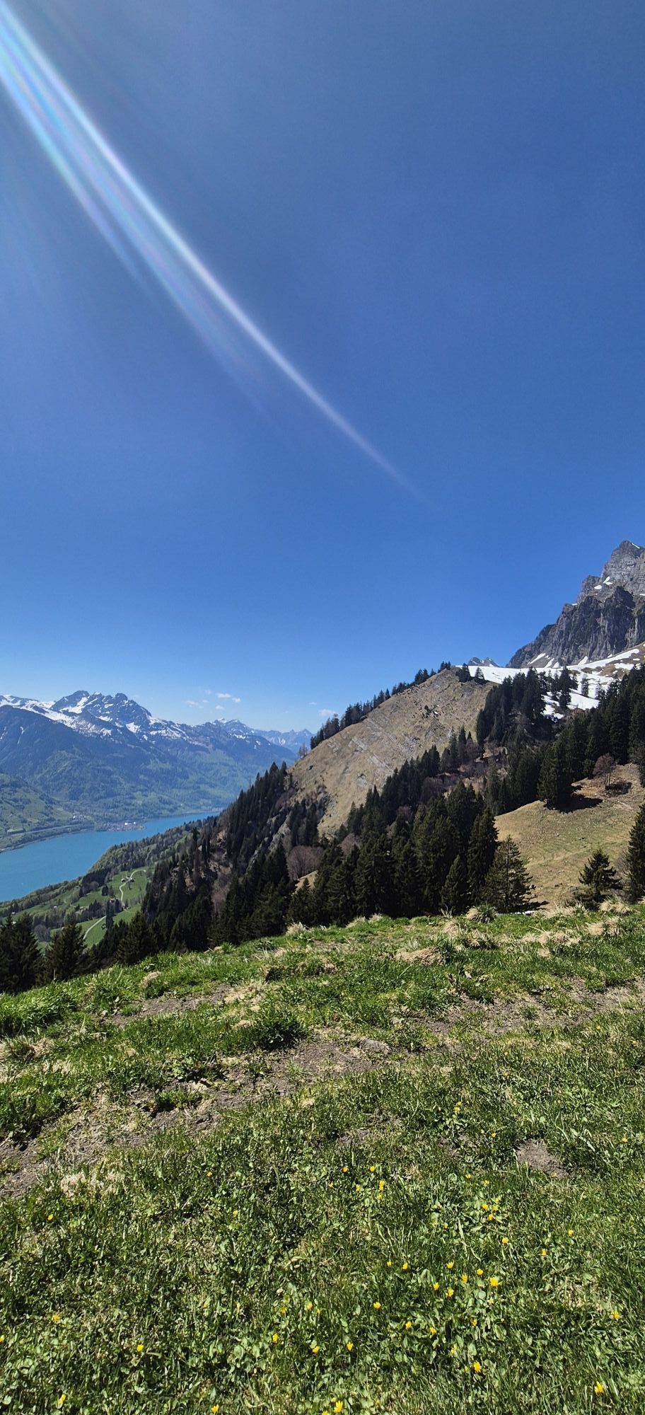
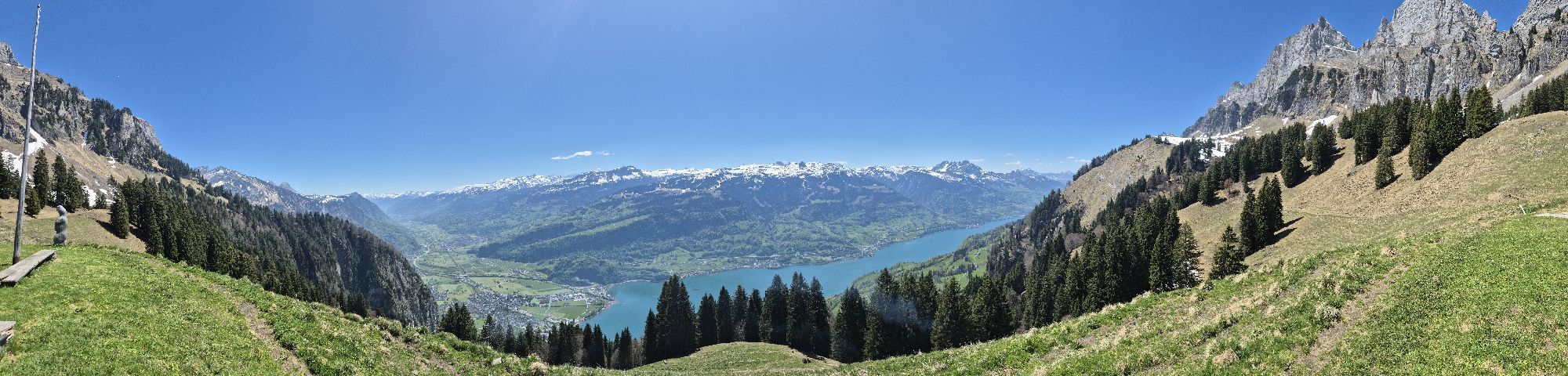
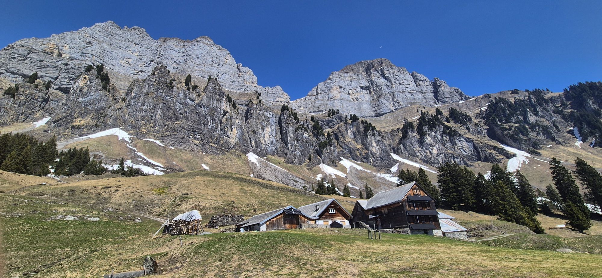
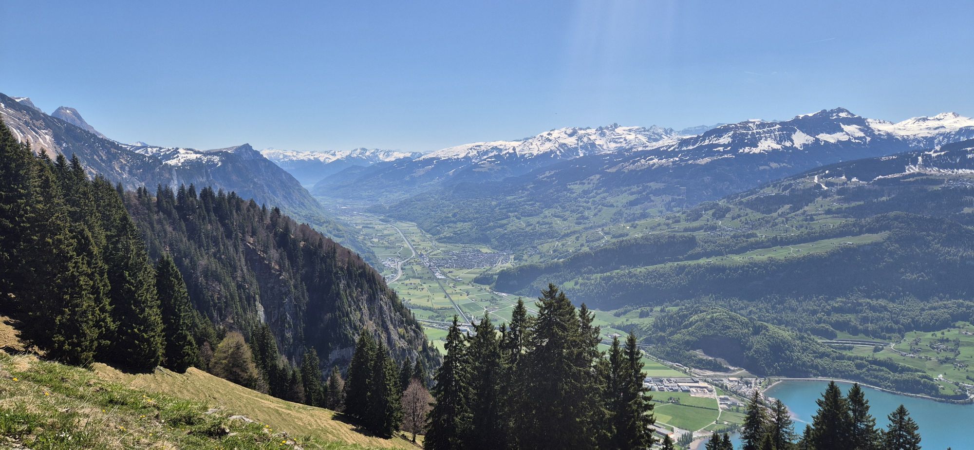
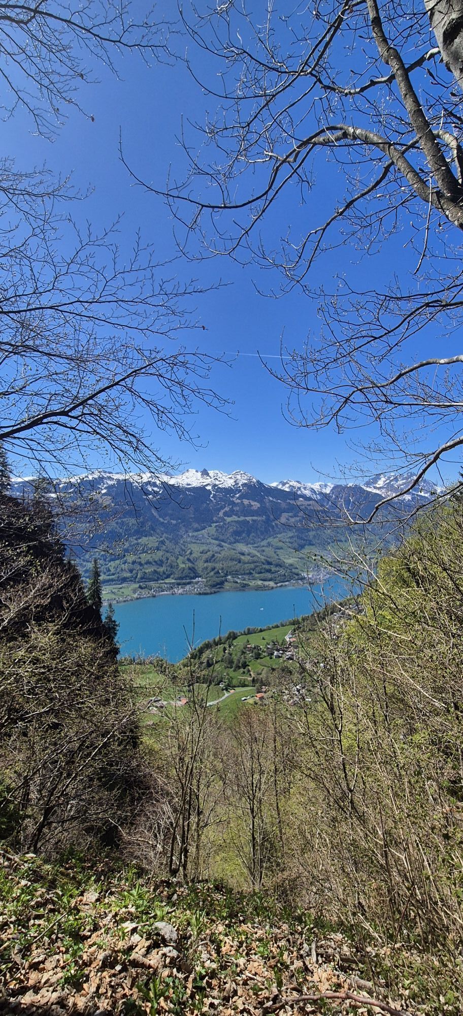
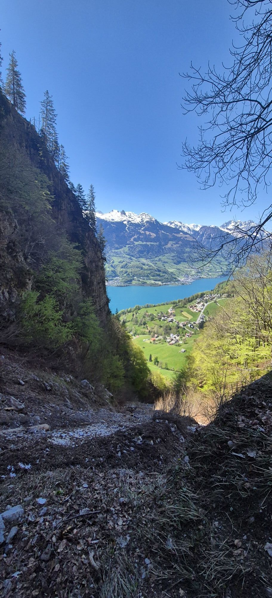
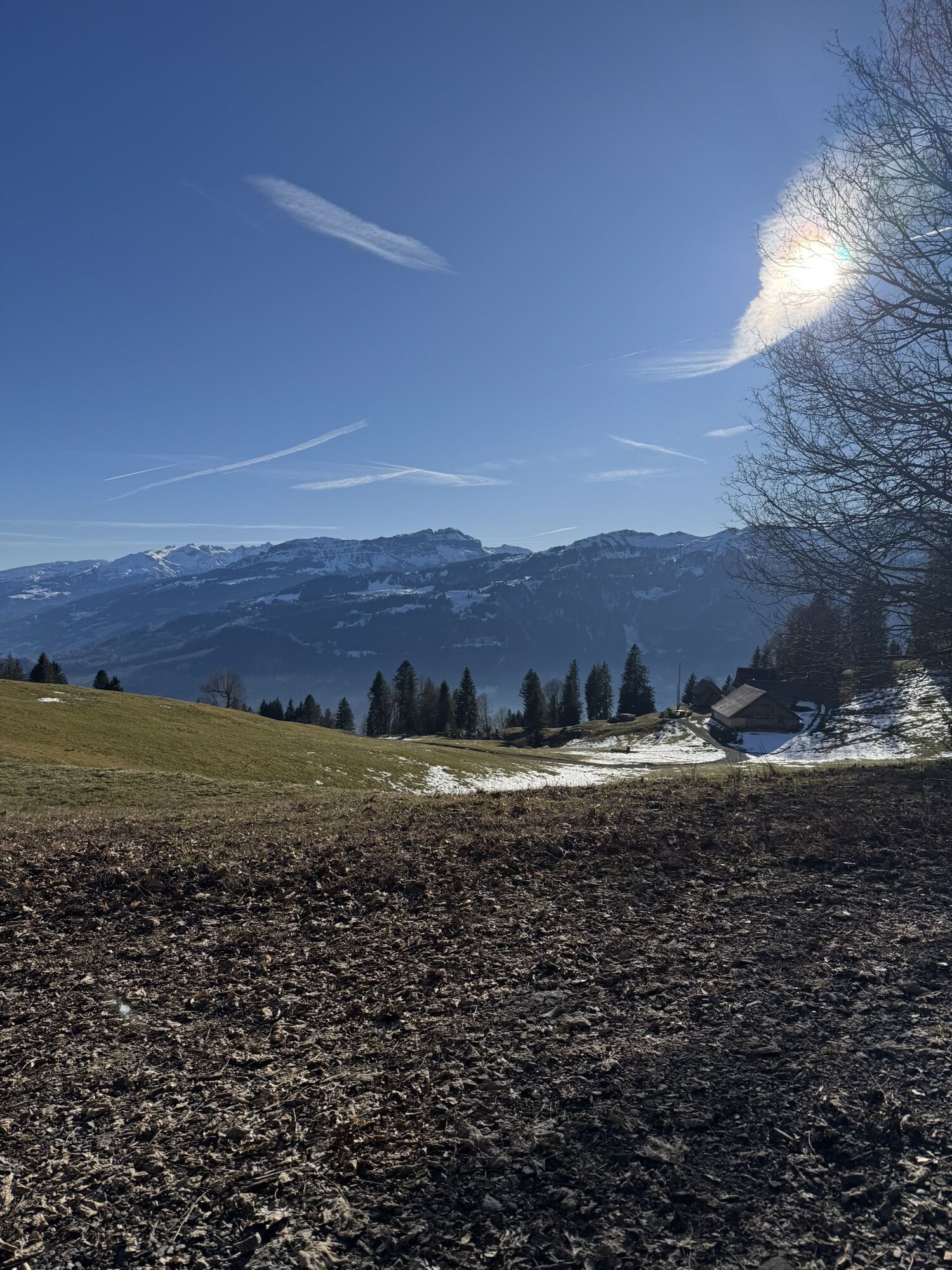
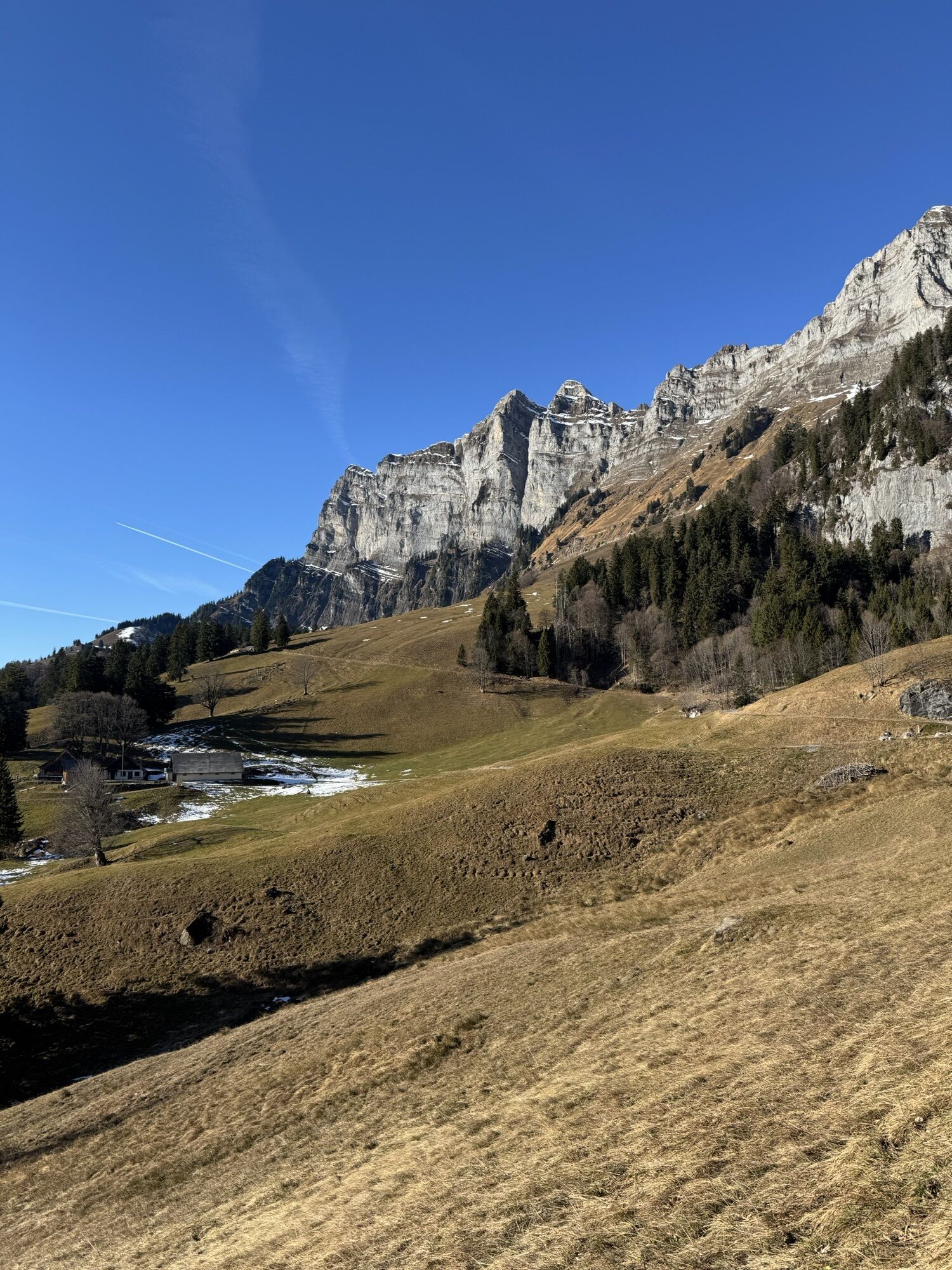
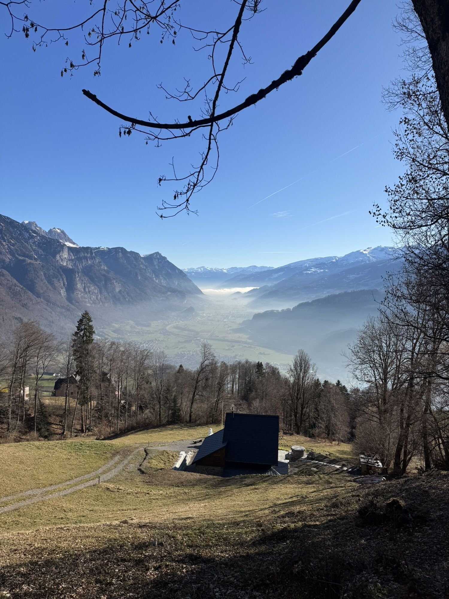
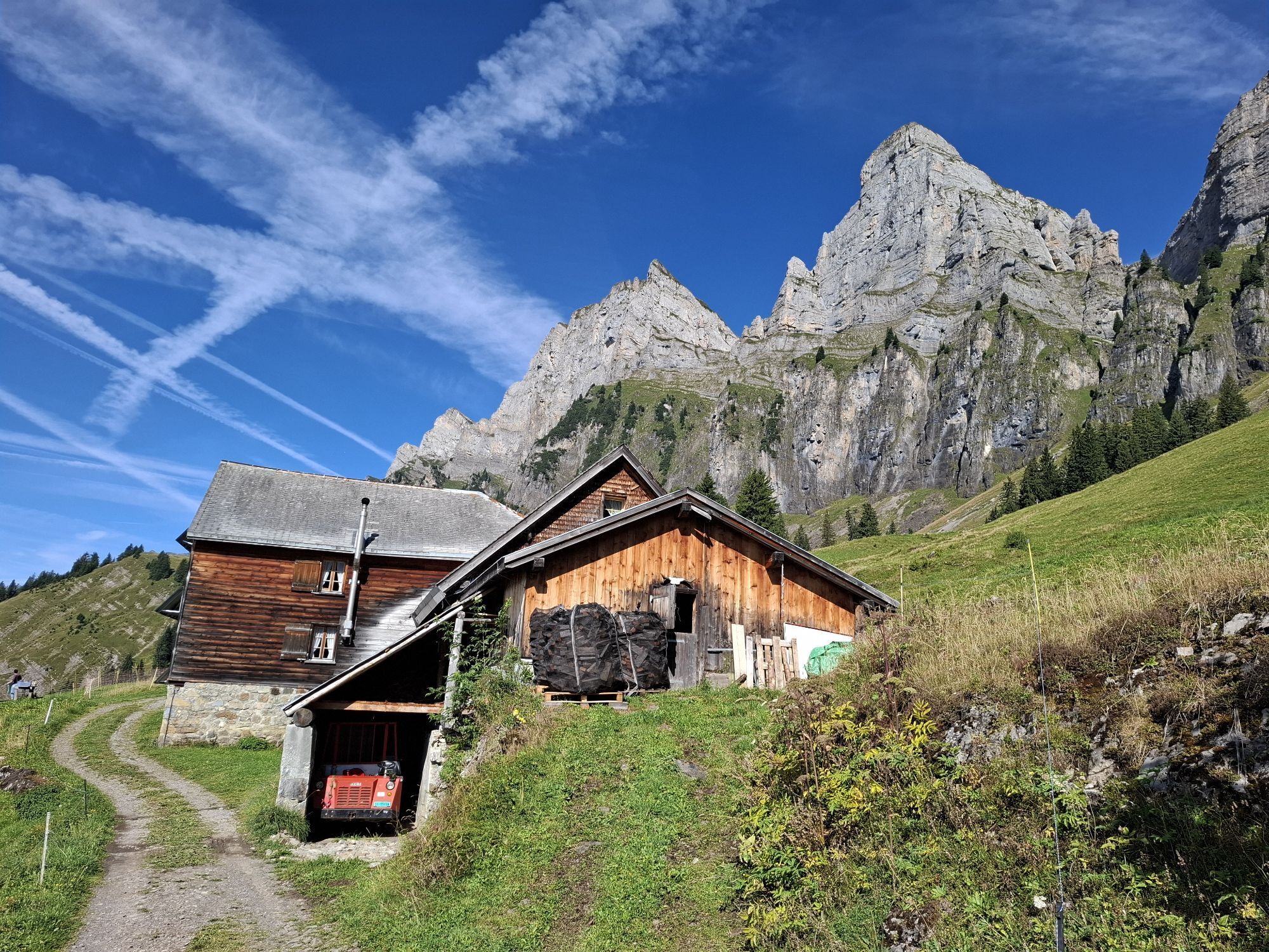
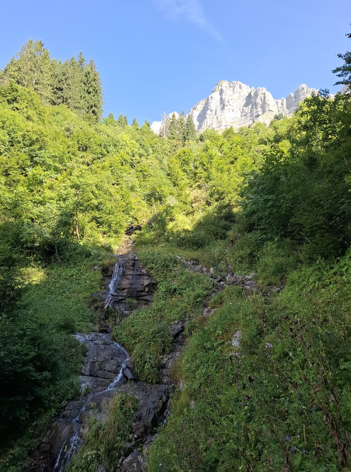
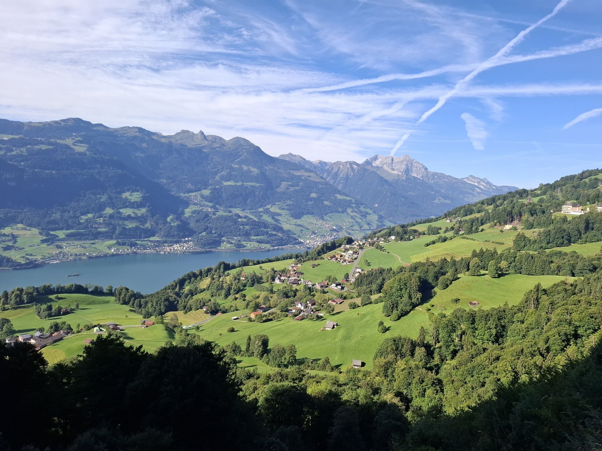
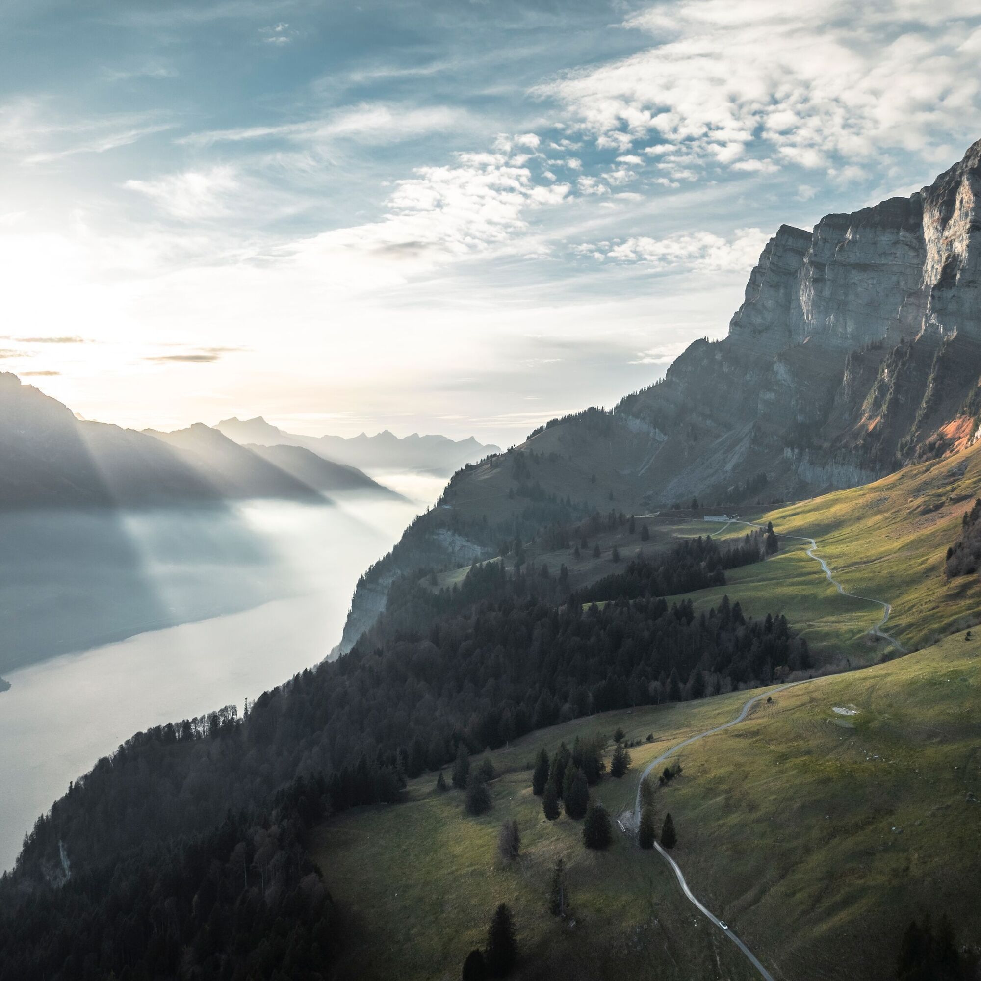
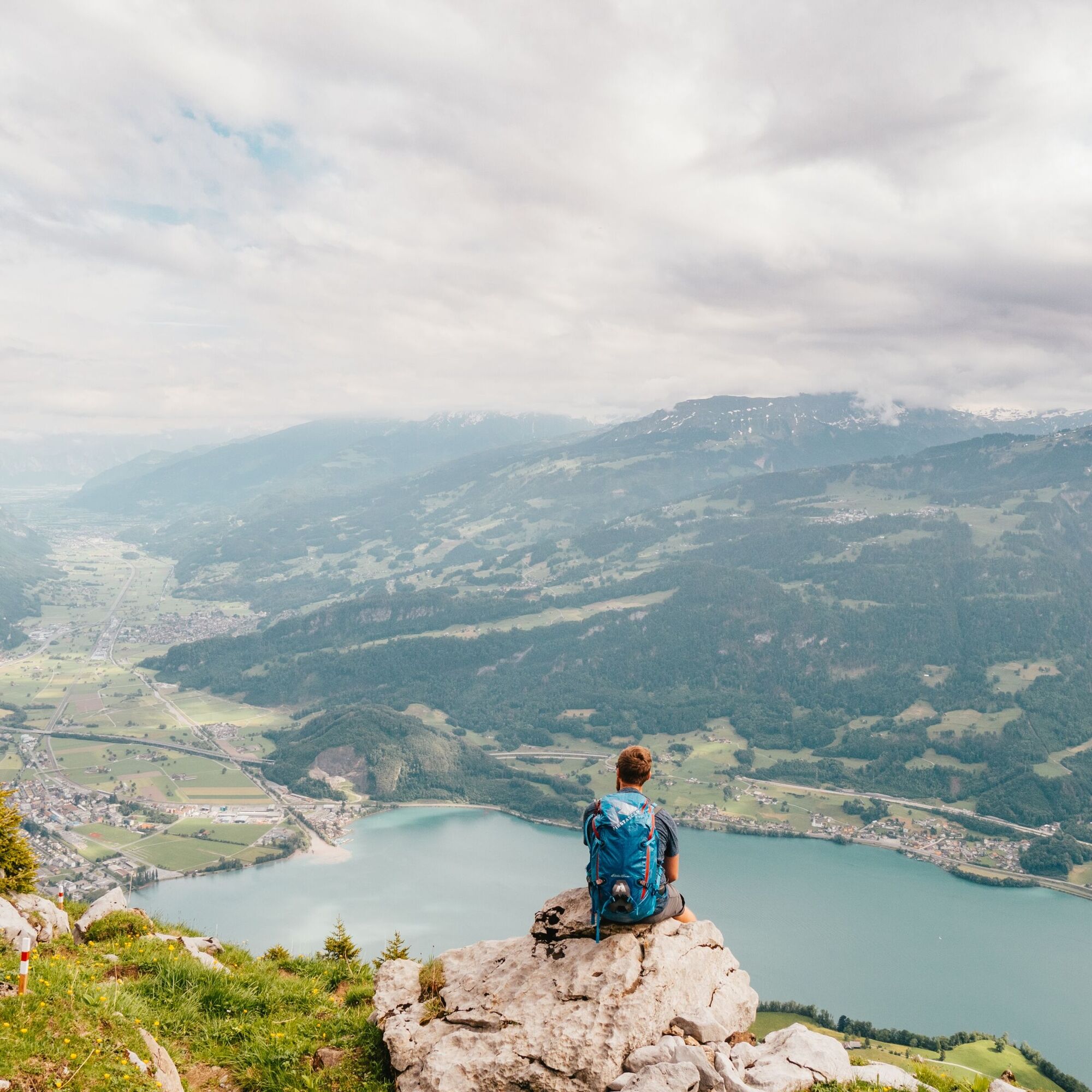
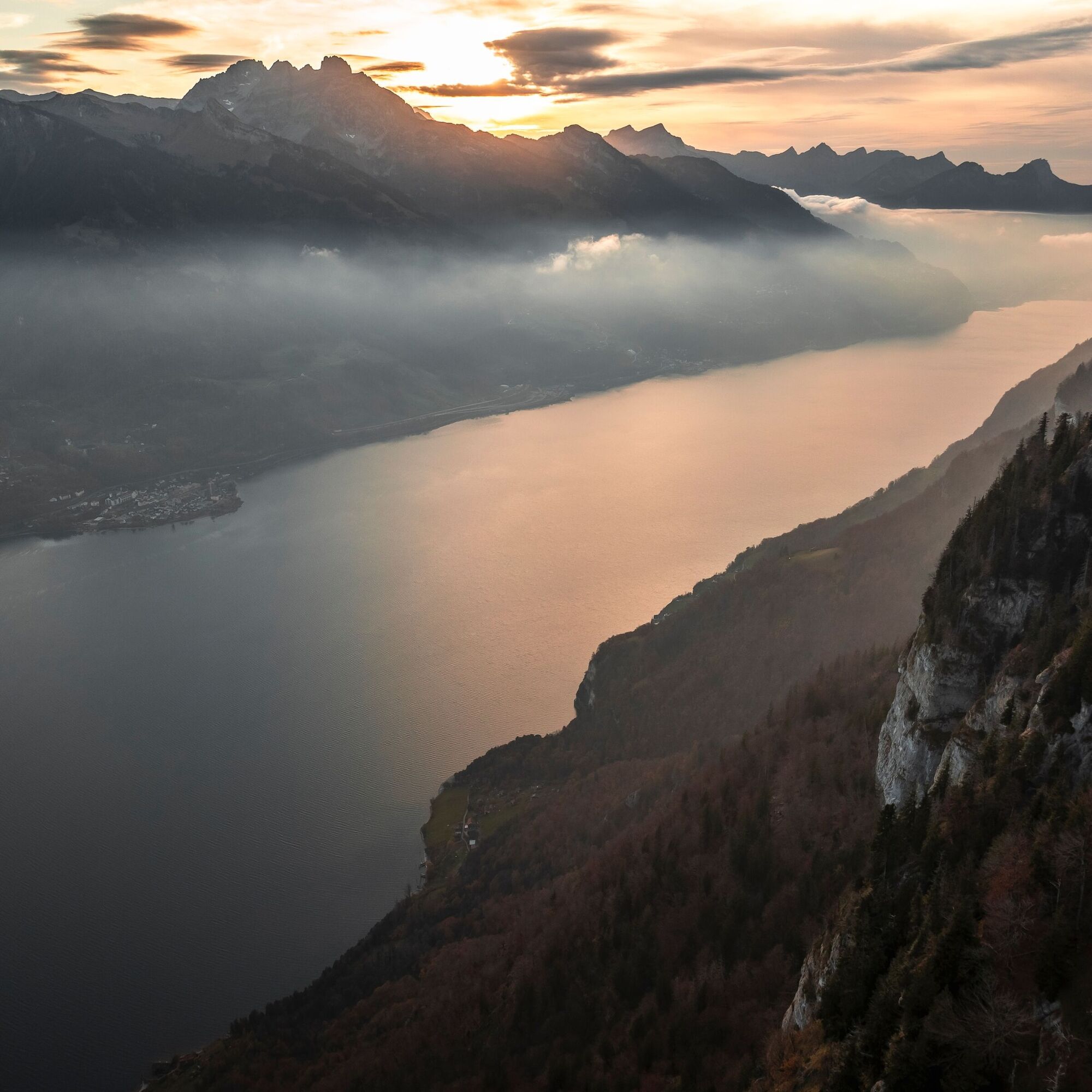
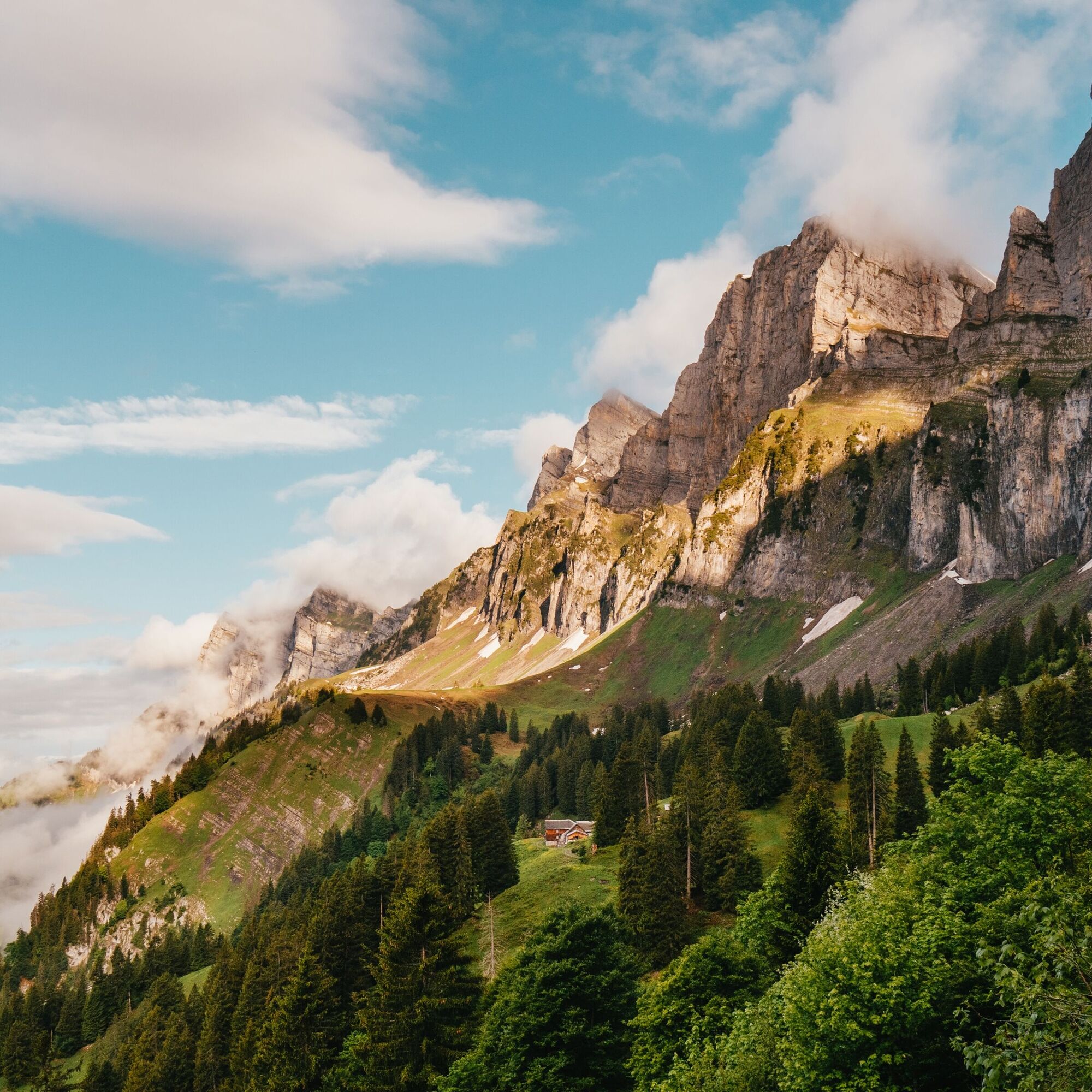
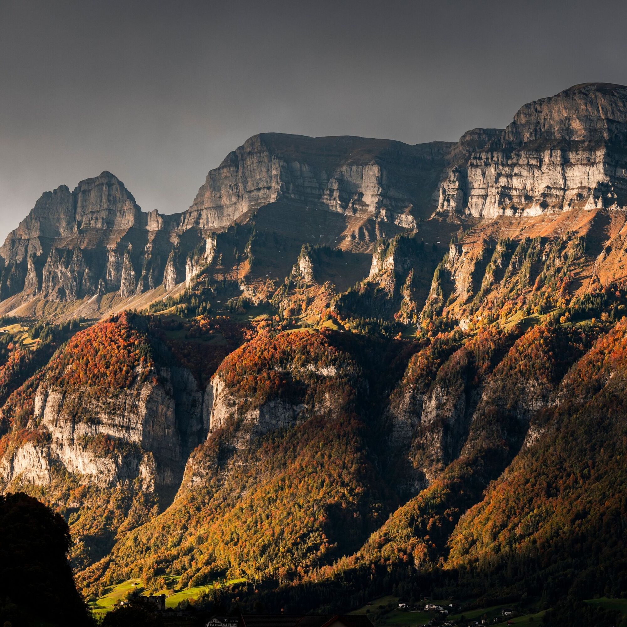
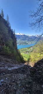
The landscape on Schrina-Hochrugg at the foot of the south side of the Churfirsten is impressive. The alpine area is largely a cultivated landscape. The area has been used, maintained and changed by man...
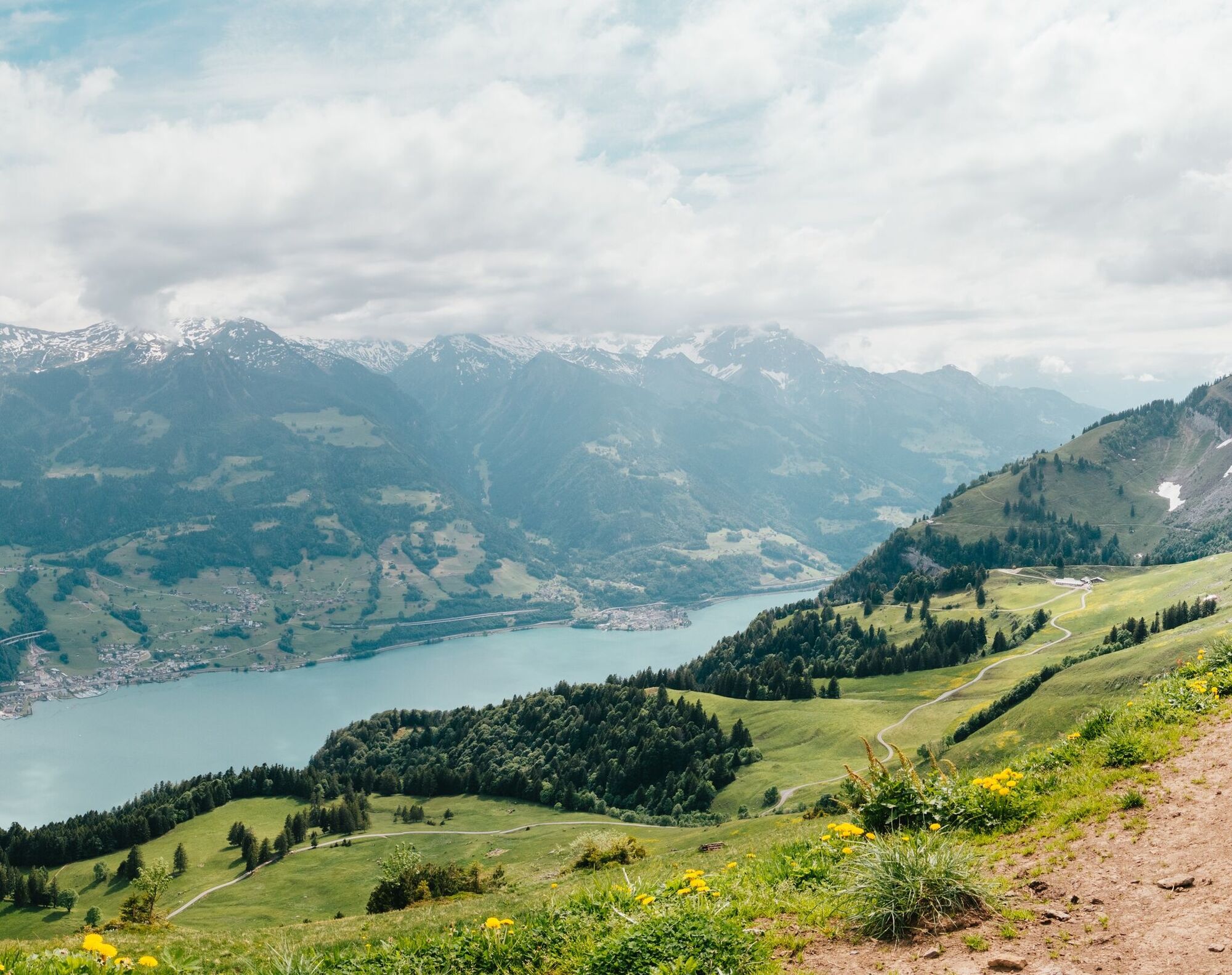
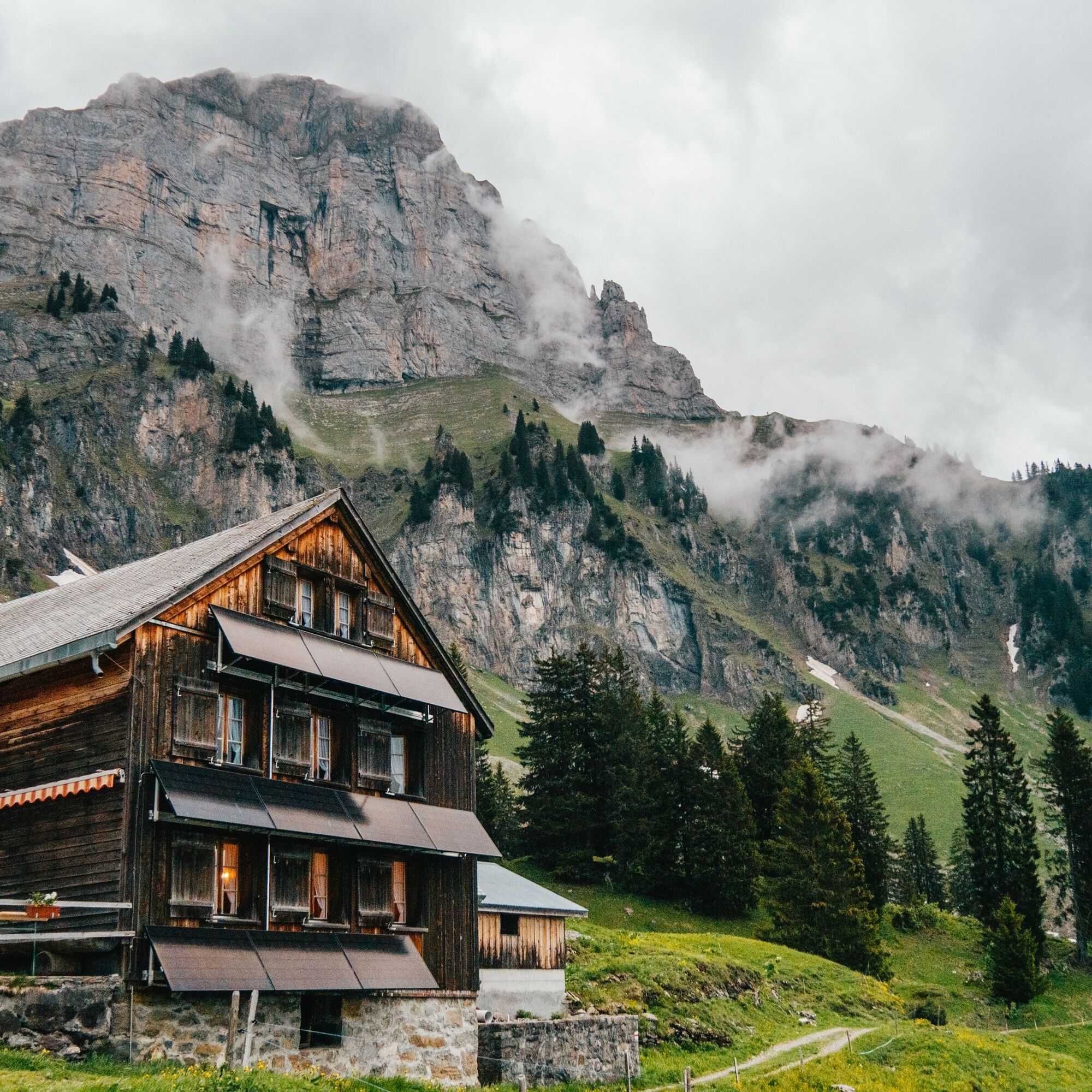
The landscape on Schrina-Hochrugg at the foot of the south side of the Churfirsten is impressive. The alpine area is largely a cultivated landscape. The area has been used, maintained and changed by man for centuries. The transition to the natural area of the Alps is fluid. Experience this landscape on the Schrina alpine and cultural trail!
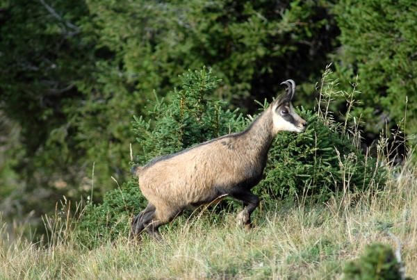
There are two trails where you can discover many exciting details about alpine farming, culture, fauna and flora as well as geology.
- The short, pushchair-friendly trail leads from the PAX monument by artist Karl Bickel to Alp Schrina.
- The longer trail connects Schrina-Hochrugg via Schrina-Obersäss with Alp Tschingla. Those with a head for heights can take the alpine route via the Sitzstein and turn the trail into a wonderful circular hike Schrina-Hochrugg - Sitzstein - Tschingla - Obersäss - Schrina.
You should have the "AlpUndKulturWegSchrina" brochure with you on these trails. This is available at the starting point and at the post office in Walenstadt. You will find small signs with numbers along the way and the corresponding explanations in the brochure.
The information on the individual numbers can also be called up via QR code.

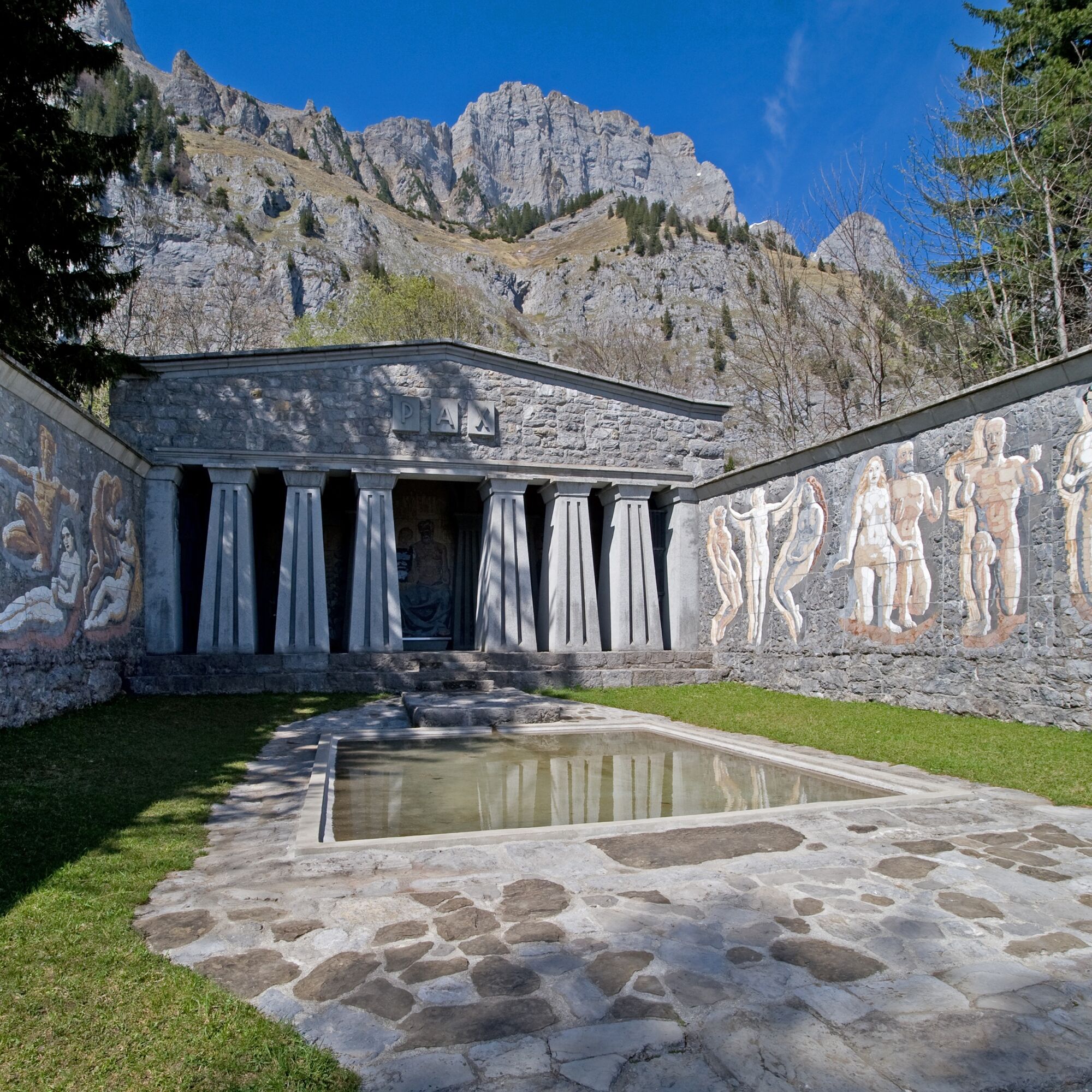
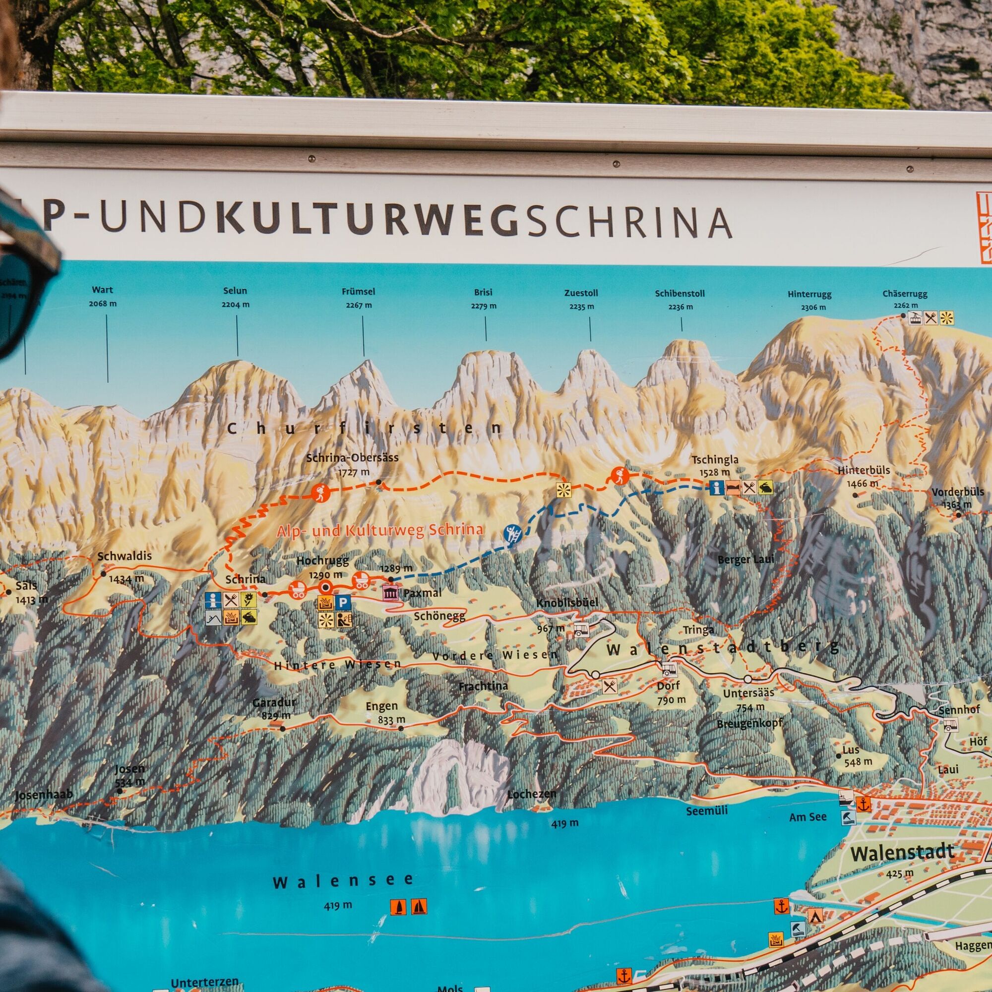
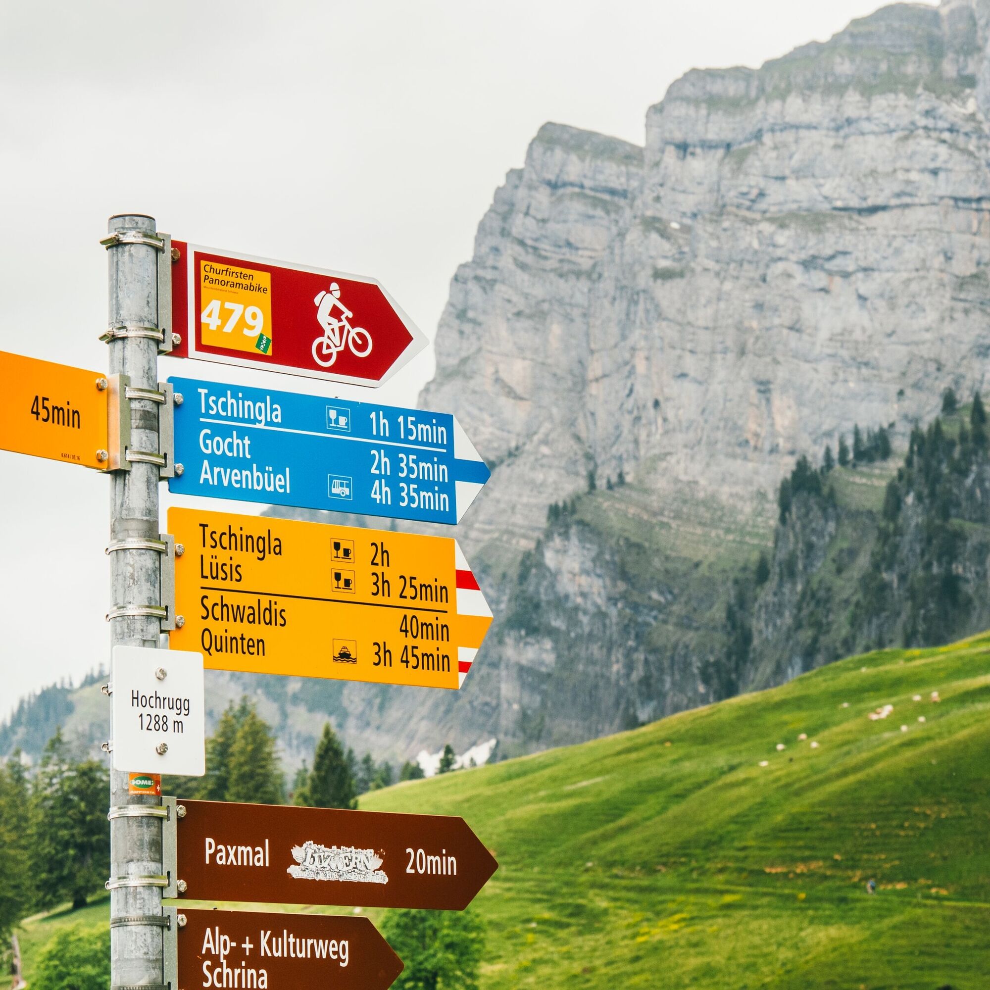

Schrina-Hochrugg - Paxmal - Alp Tschingla - Paliis - Obersäss - Schrina - Schrina-Hochrugg
Day hiking rucksack (approx. 20 liters) with rain cover, sturdy and comfortable shoes, weather-appropriate and hard-wearing clothing in multiple layers, telescopic poles are recommended, sun and rain protection, provisions and drinking water, first aid kit, pocket knife, cell phone, headlamp if necessary, maps.
Take the highway exit Walenstadt and follow the signs to Walenstadt. After approx. 900 meters, turn right onto Tremlastrasse and follow the road until you reach Bergstrasse. This will take you to Walenstadtberg and further up to Hochrugg. Please note that the road becomes somewhat narrower for the last 2-3 kilometers before you reach Hochrugg.
Public parking spaces available in Hochrugg.
Heidiland Tourismus AG
Info point Flumserberg
Flumserbergstrasse 196
CH-8898 Flumserberg Tannenboden
Tel: +41 (0)81 720 18 18
E-Mail : flumserberg@heidiland.com
Internet: www.heidiland.com
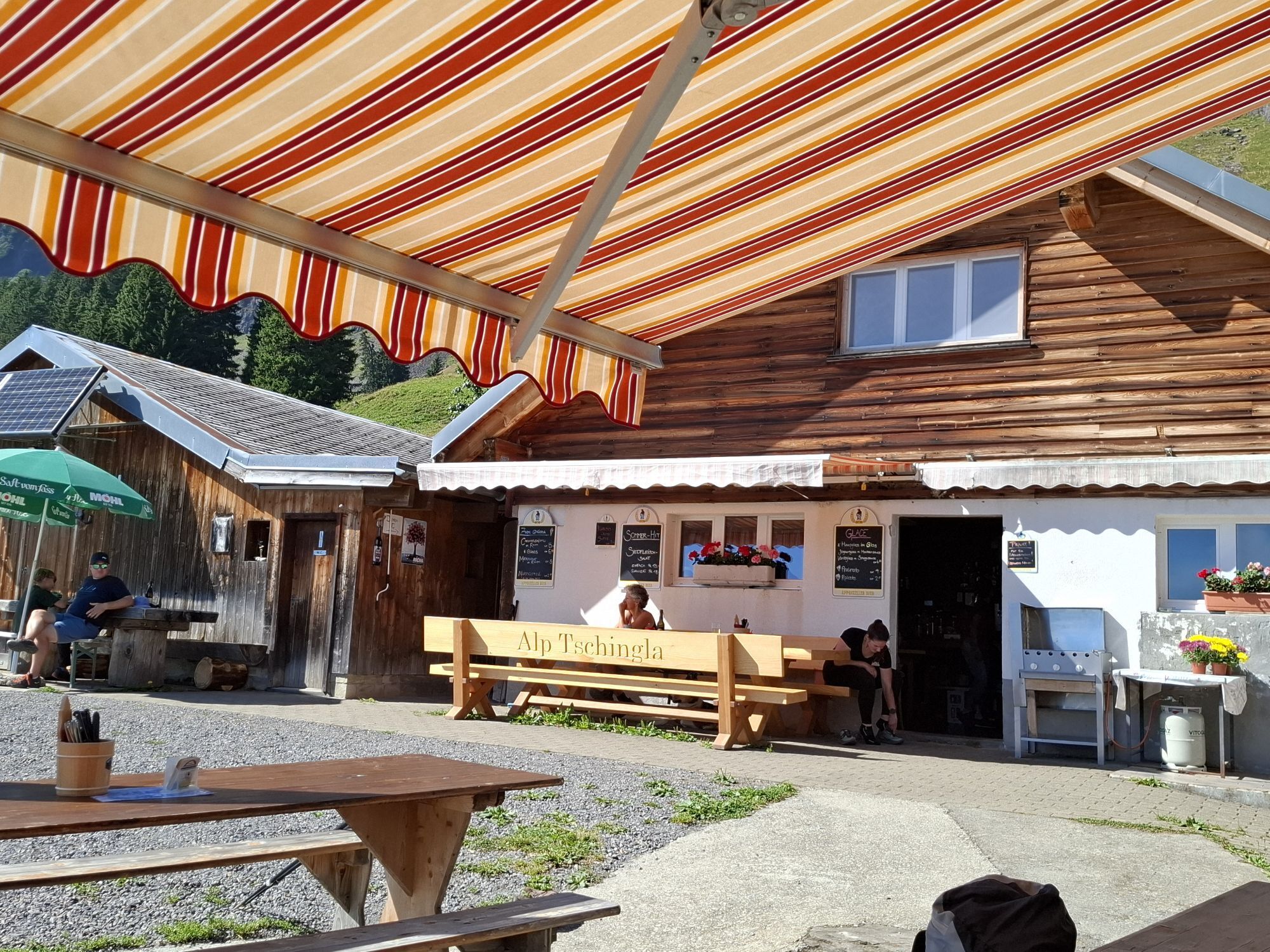
The Tschingla mountain restaurant is worth a visit on the way.



Kamery internetowe z trasy
Uzyskaj wgląd Zawsze na żywo z ponad 9 500 kamer internetowych. bergfex Jako użytkownik Pro, możesz teraz zobaczyć odpowiednie kamery internetowe dla wielu wycieczek w aplikacji wycieczki od. Pozwala to na bezpośredni podgląd aktualnych warunków. 


Popularne wycieczki w okolicy
- 4,8
Walensee Riviera Weesen - Quinten
średniWędrówka 10,2 km - 4,7
Riviera Lake Walen Walenstadt-Quinten
średniWędrówka 10,4 km - 4,6
Weesen - Quinten - Walenstadt
ciężkiWędrówka 20,6 km - 4,9
Säntis-Gipfeltour, Wasserauen / Appenzell Innerrhoden
ciężkiWędrówka 21,1 km - 4,7
Tour Brülisau - Saxerlücke - Hoherkasten⛰
ciężkiWędrówka 16,6 km - 4,6
Säntis
średniWycieczki górskie 17,5 km - 4,5
7-Peak Tour Flumserberg
ciężkiWędrówka 15,0 km - 4,5
4-Summit-Route Flumserberg
średniWędrówka 8,65 km - 4,7
Alvier
średniWędrówka 3,33 km - 4,6
Schwägalp - Berggasthaus Tierwies - Girenspitz - Säntis
ciężkiWędrówka 4,83 km
Wędrówki i tropienie


Nie przegap ofert i inspiracji na następne wakacje
Twój adres e-mail została dodana do listy mailingowej.





