





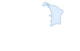

Quinten-Trail 453





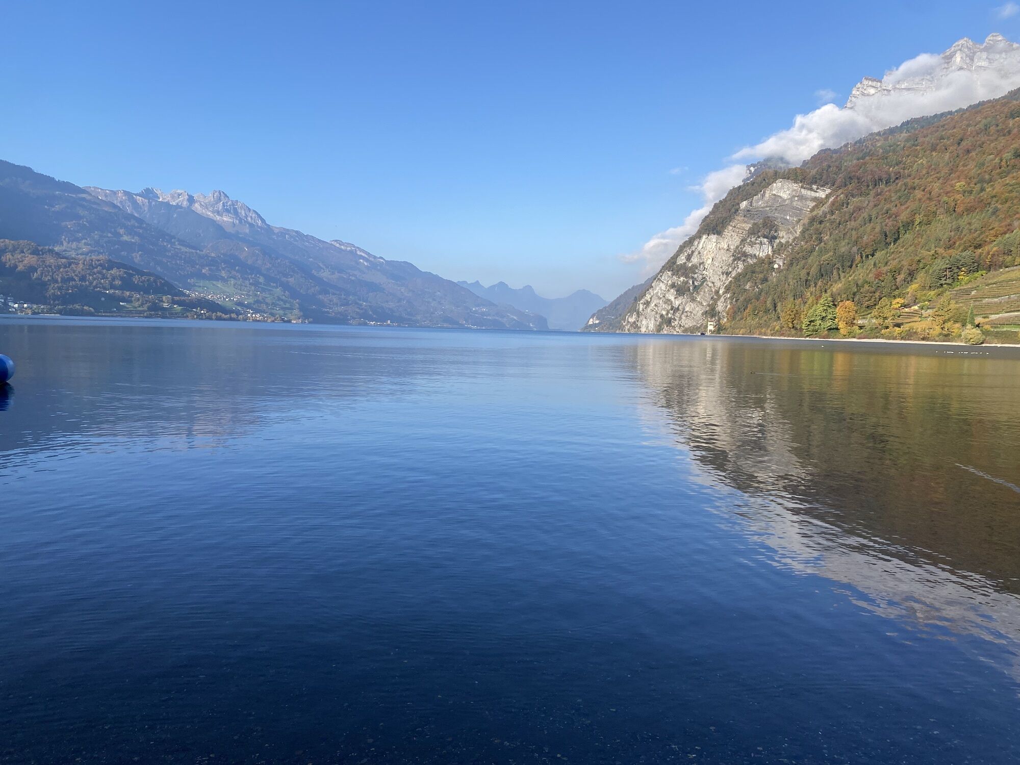
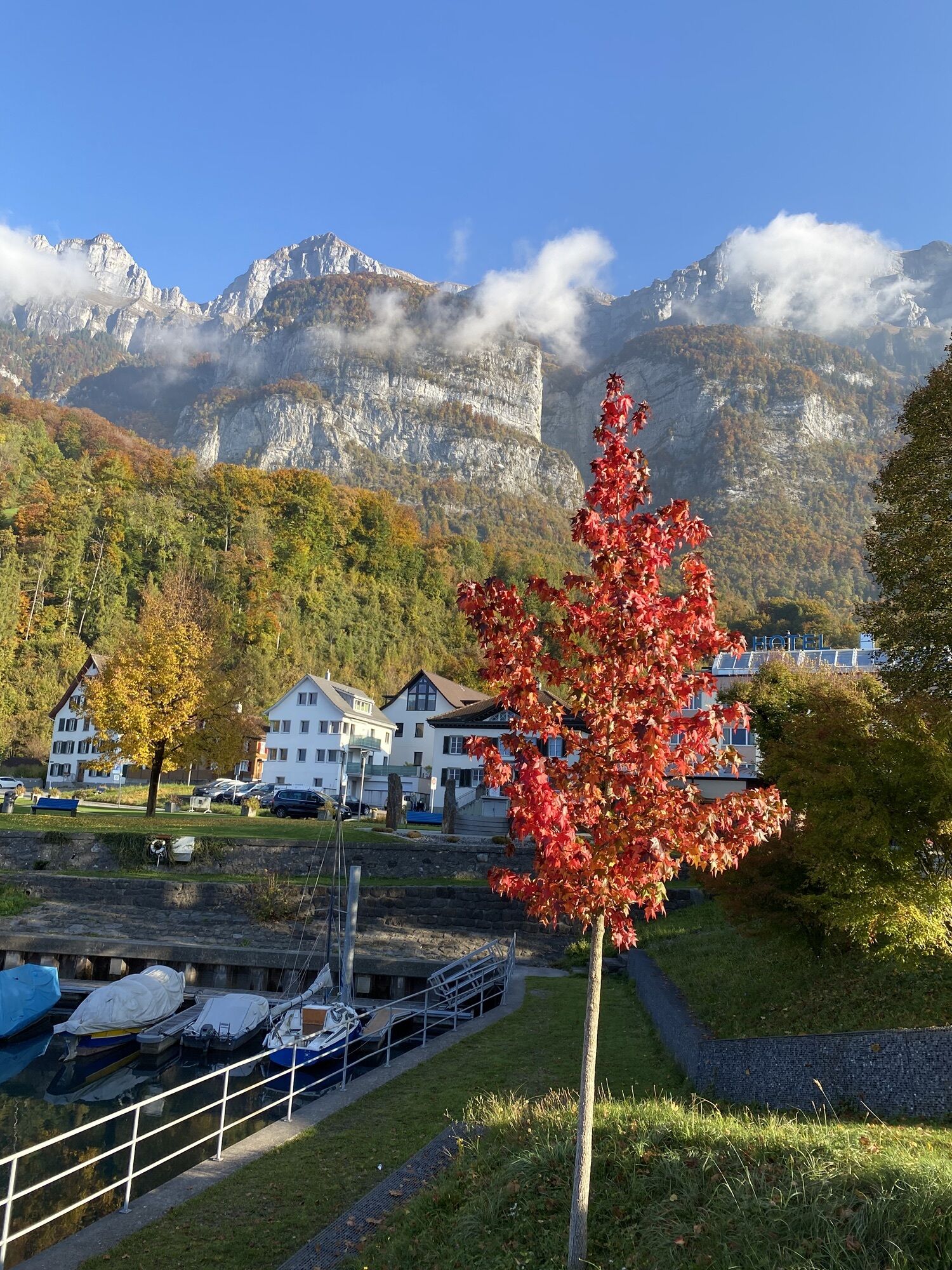
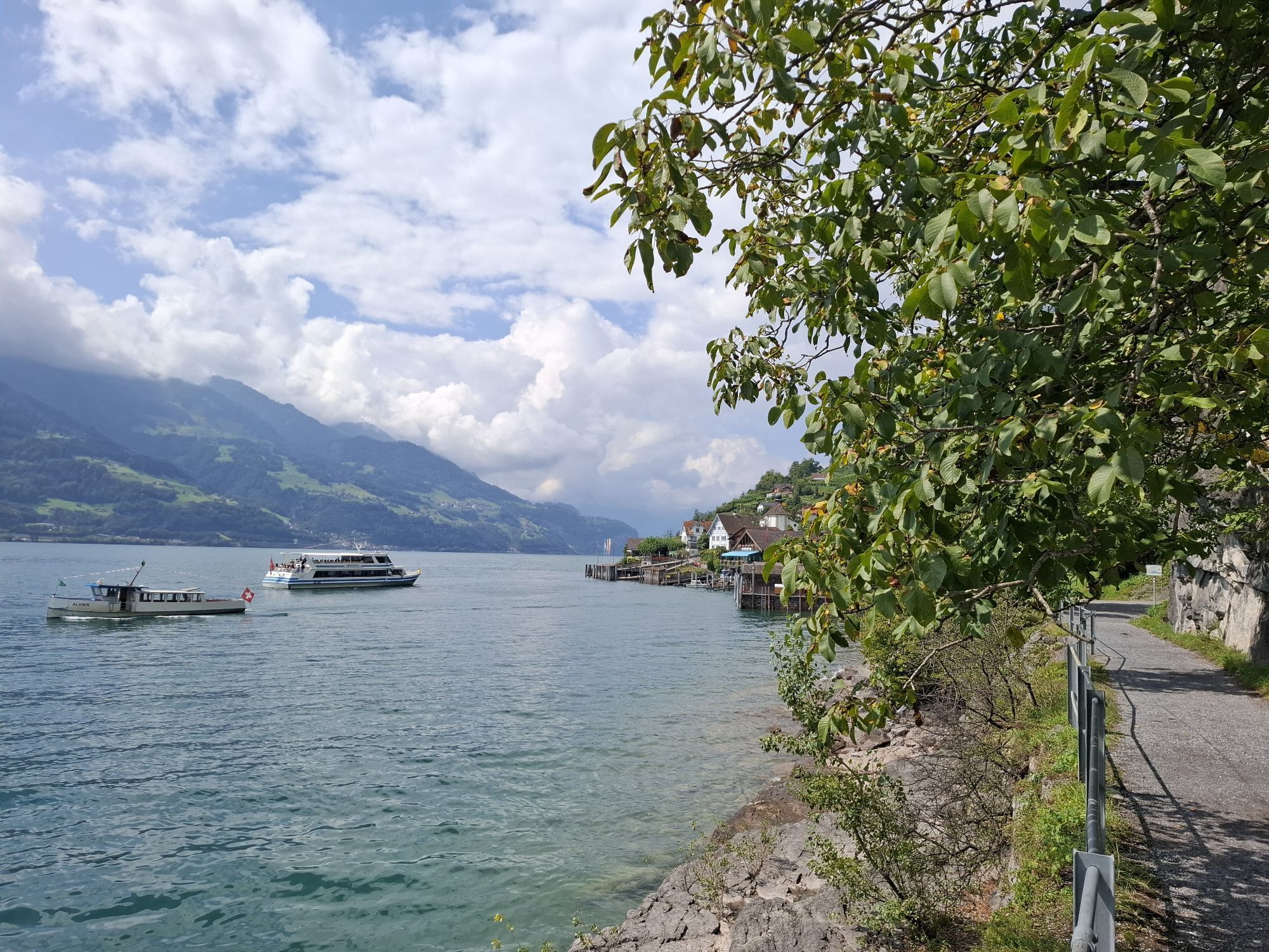
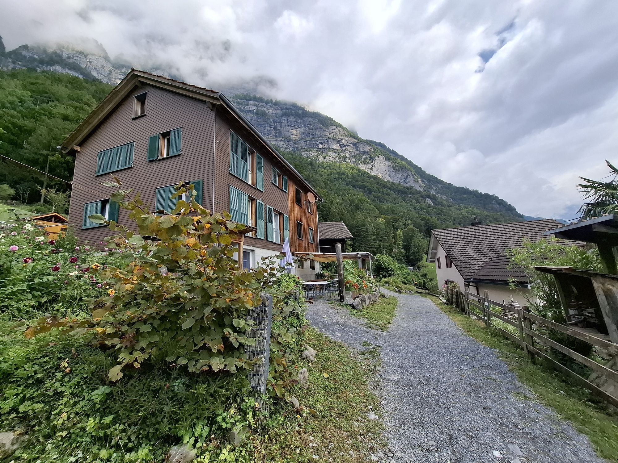
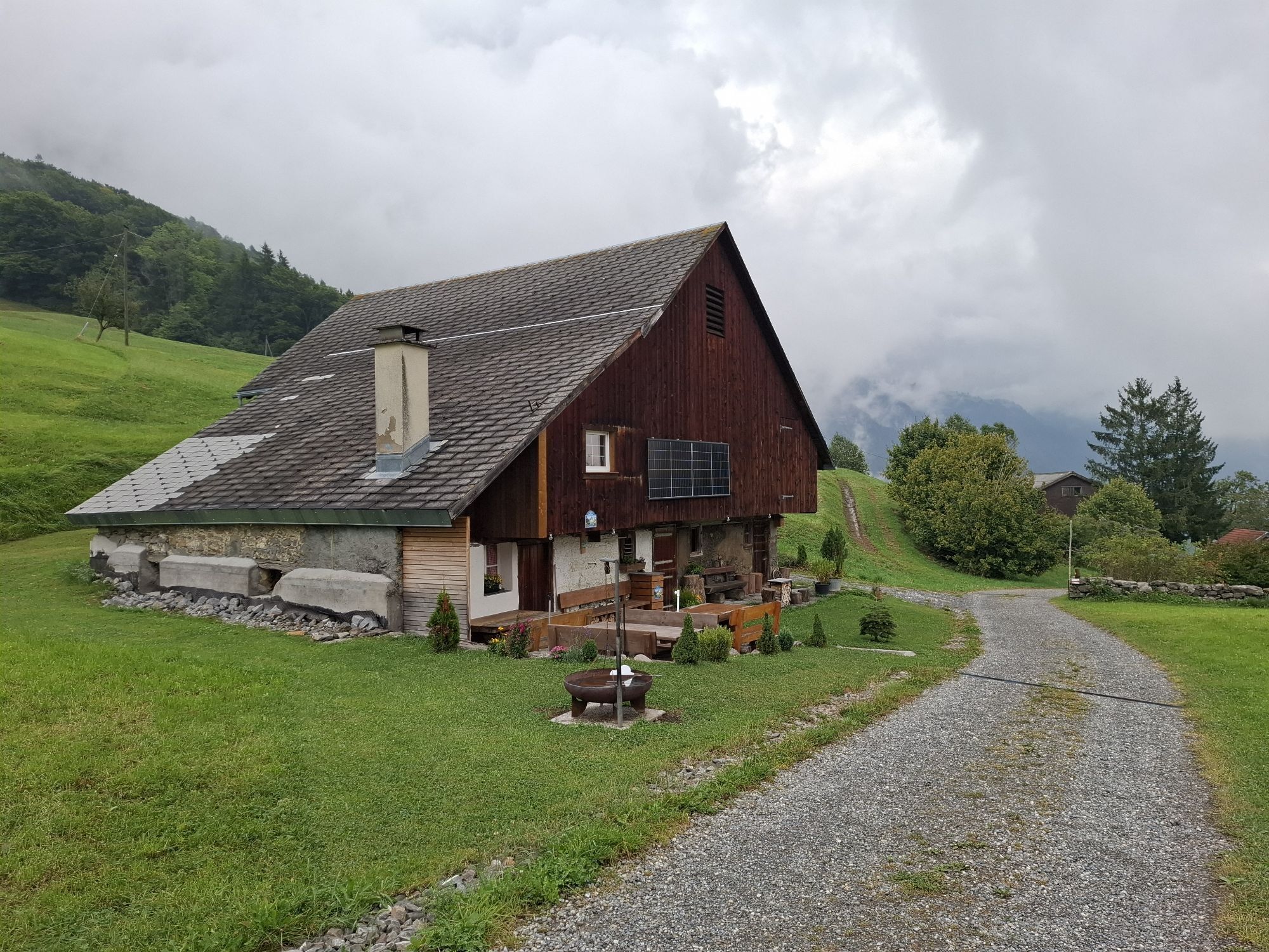
The Outdoor Fitness Trails in the Heidiland holiday region comprise over 30 uniformly signposted running routes from a total of 10 stations, forming one of the largest outdoor fitness parks in the Alpine...
The Outdoor Fitness Trails in the Heidiland holiday region comprise over 30 uniformly signposted running routes from a total of 10 stations, forming one of the largest outdoor fitness parks in the Alpine region. The Quinten-Trail is one of four running routes around the Walenstadt station.
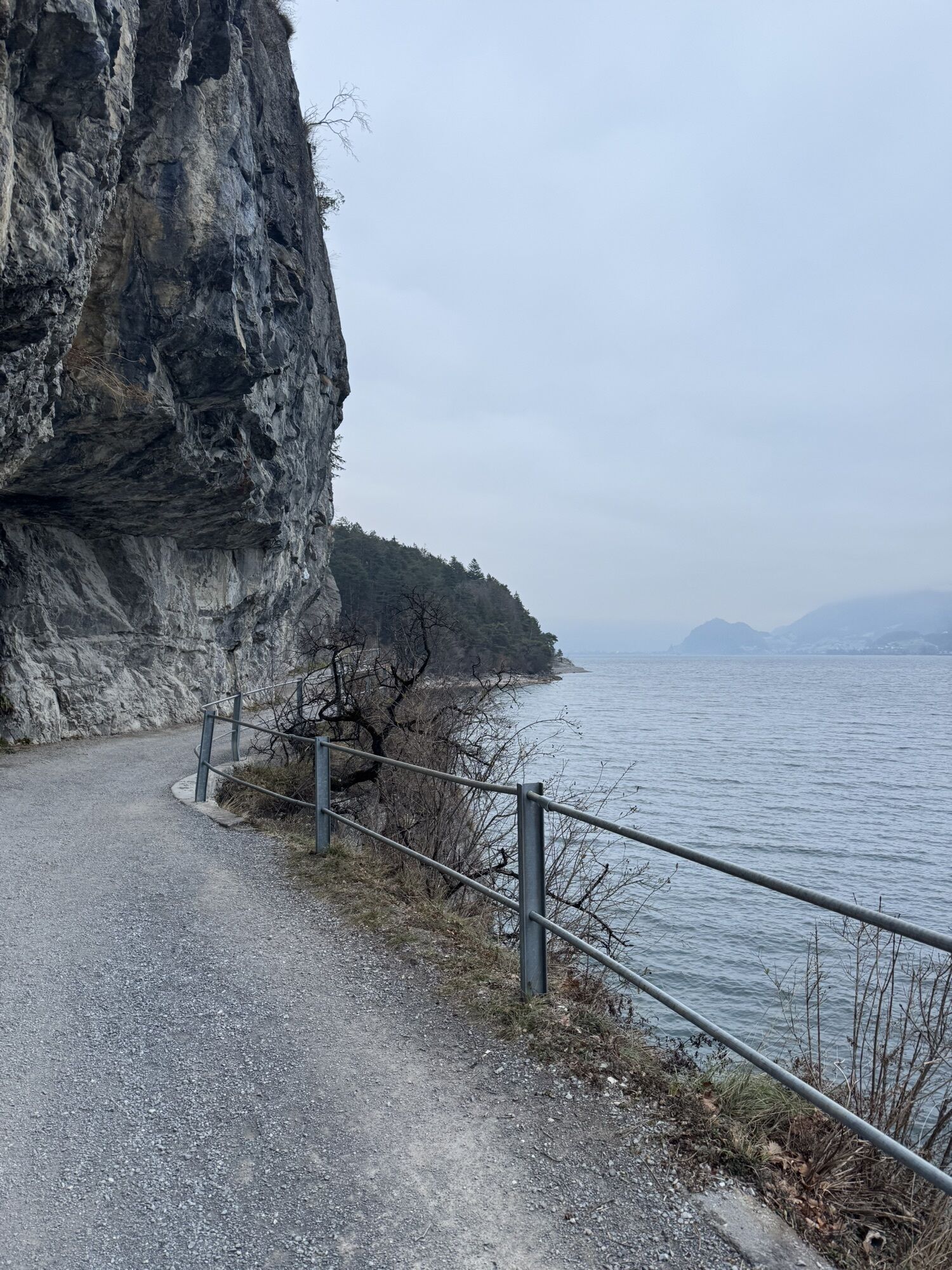
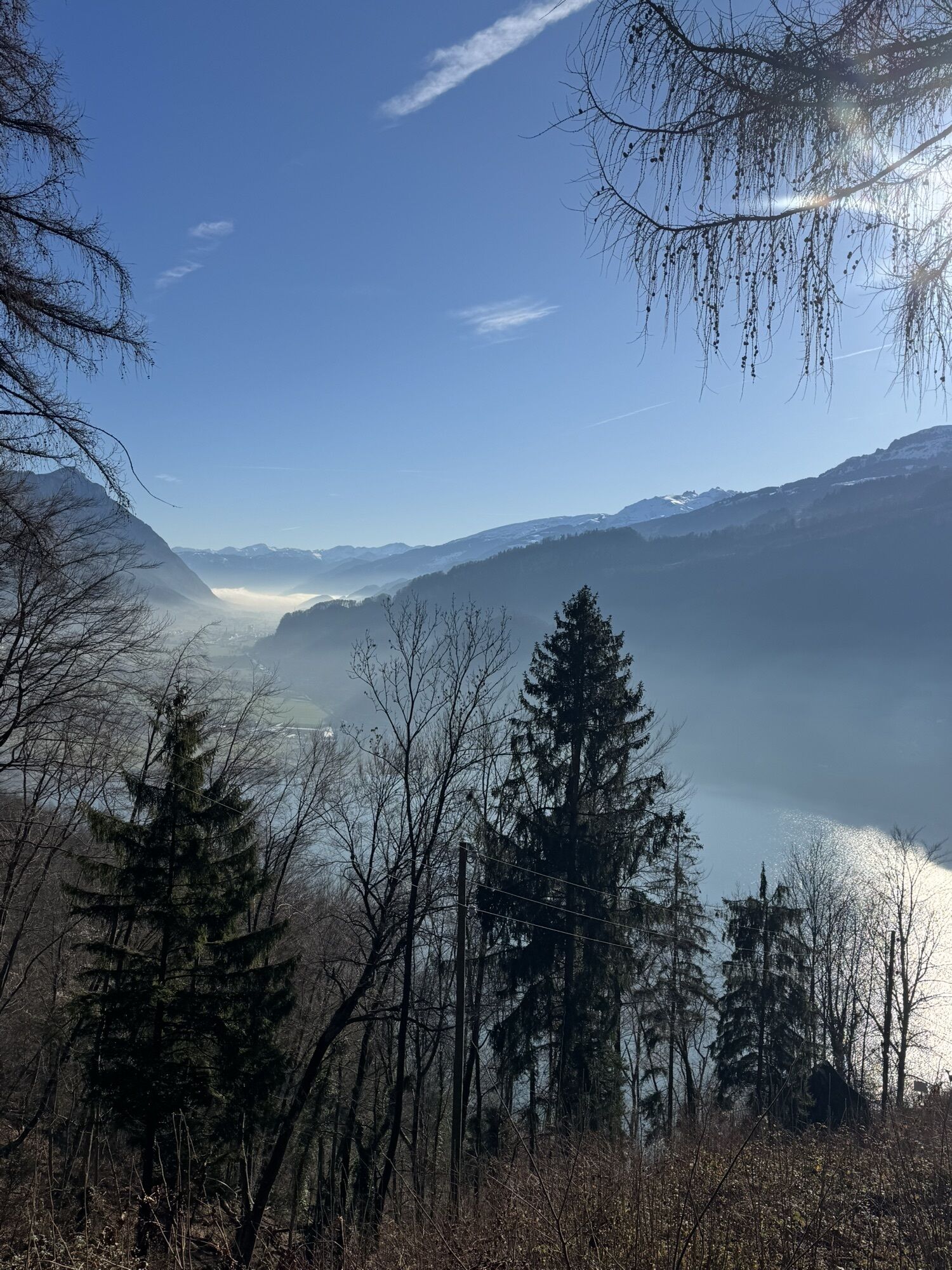
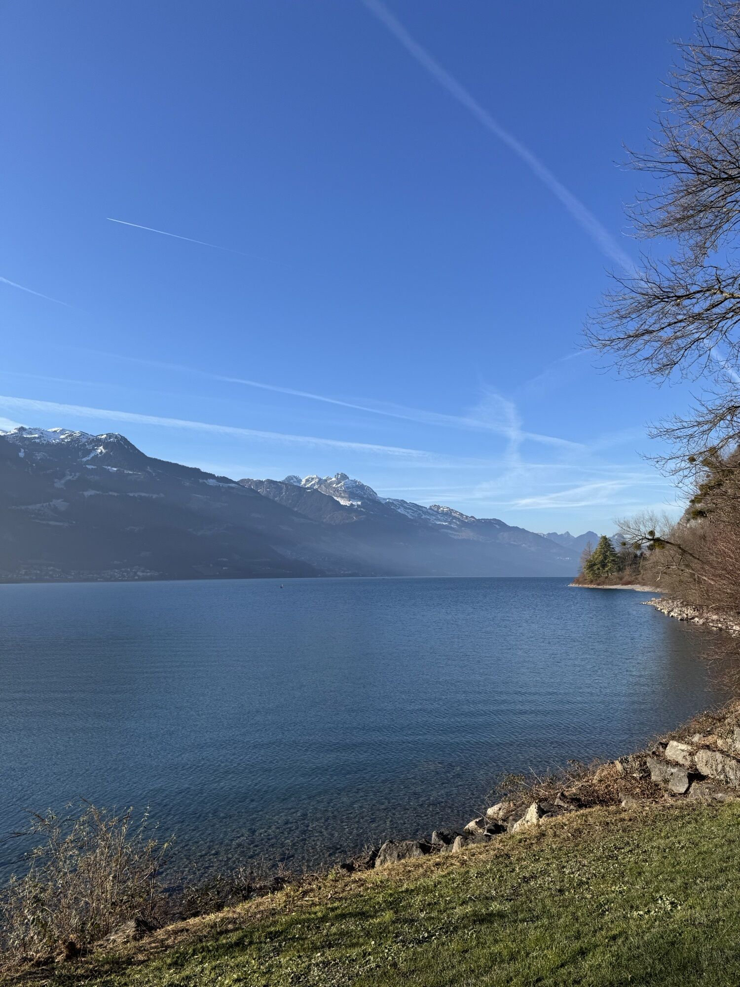
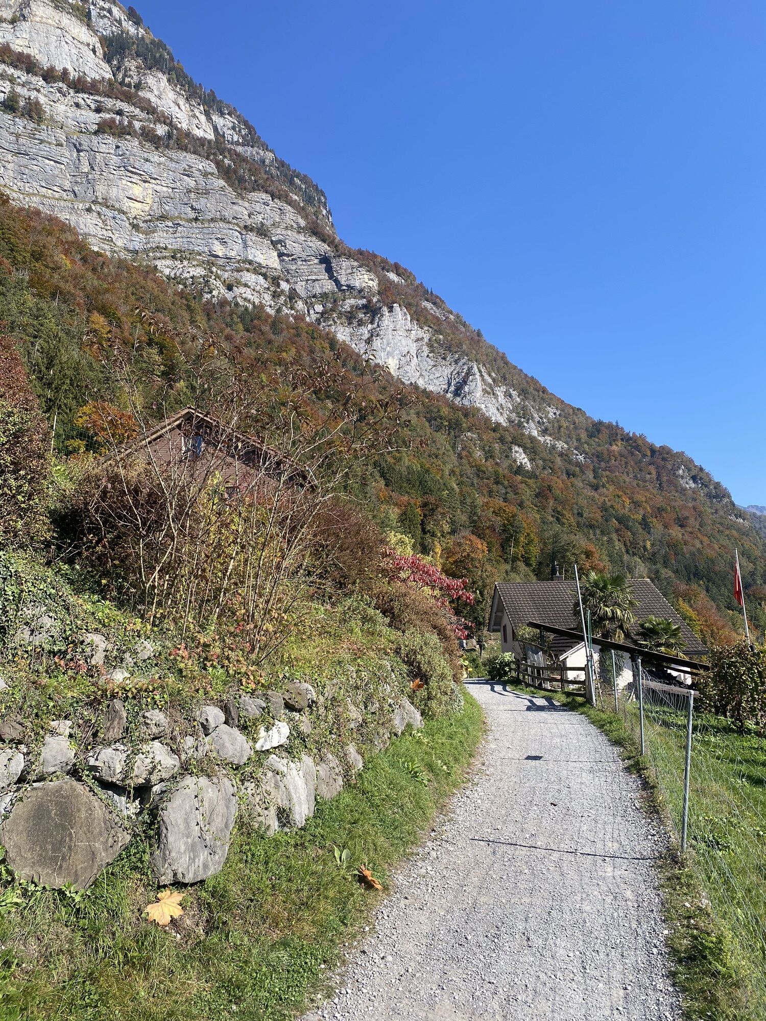
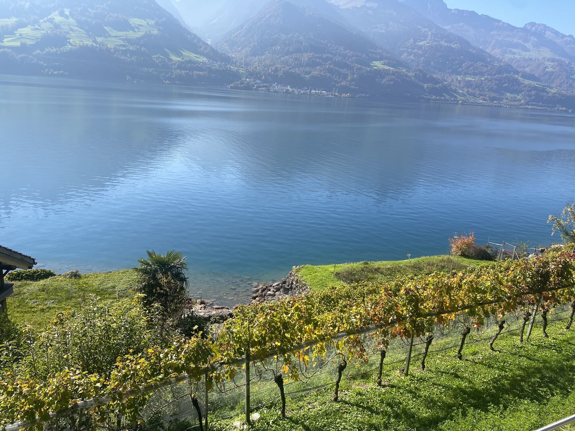
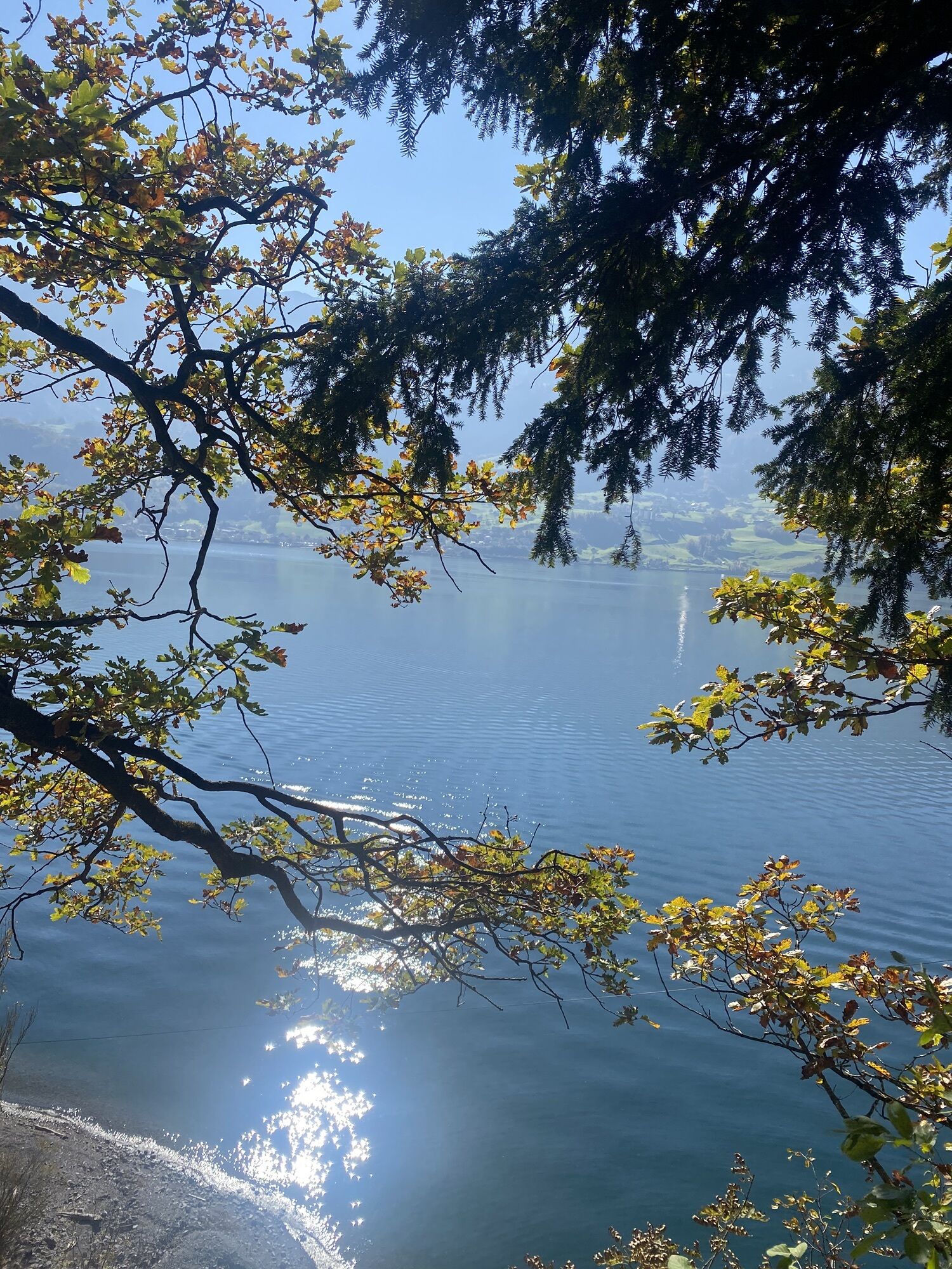
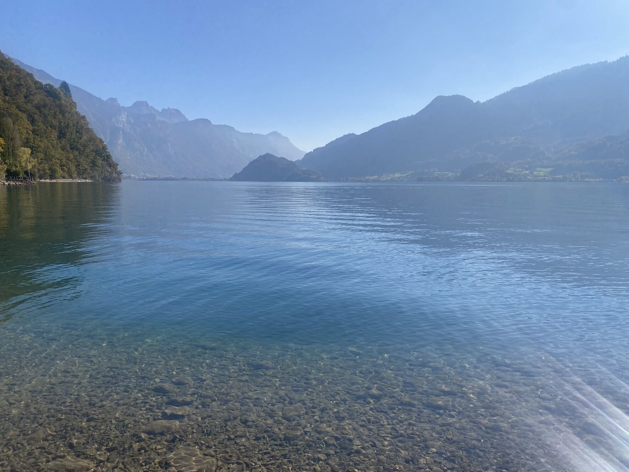
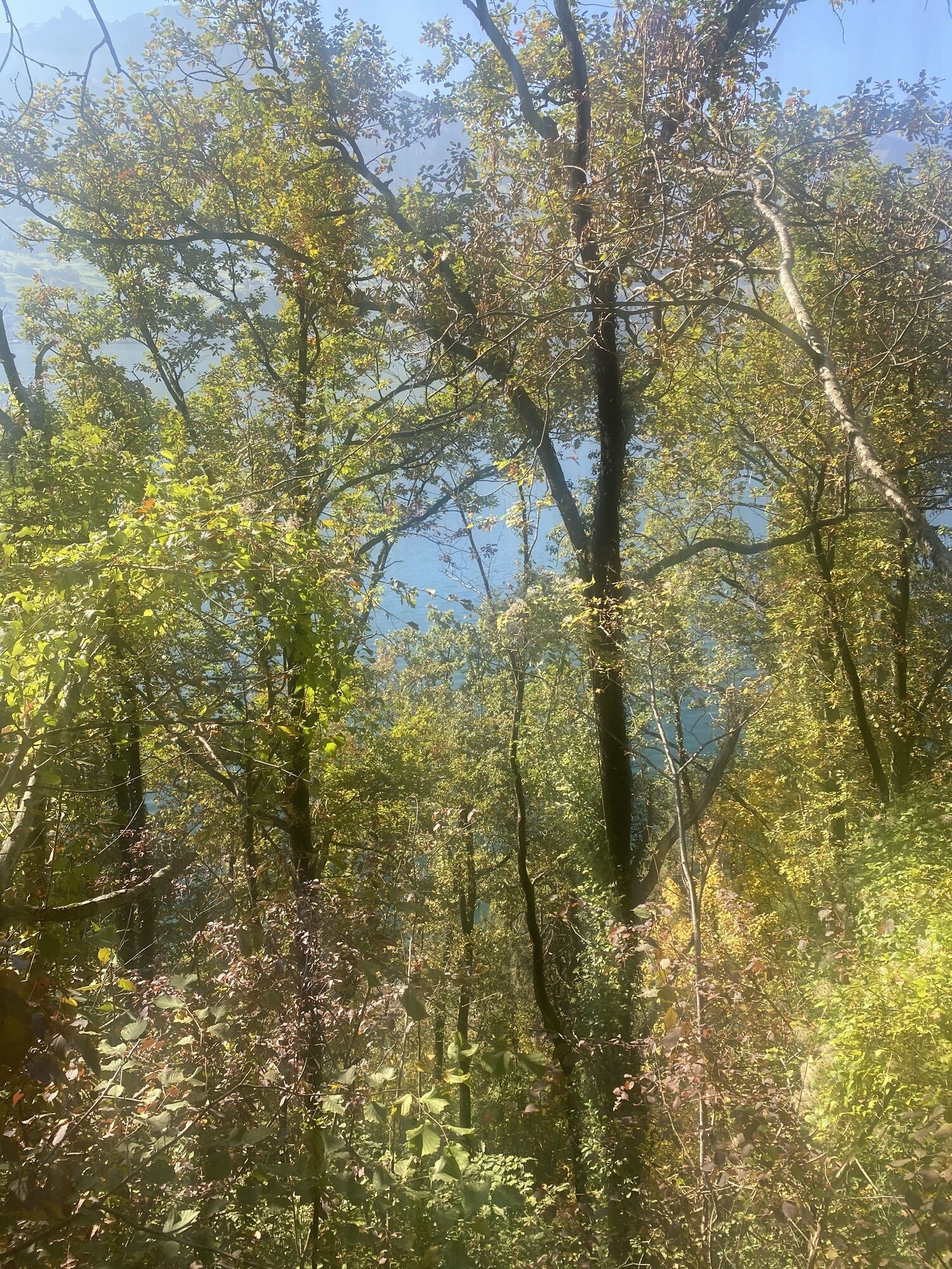
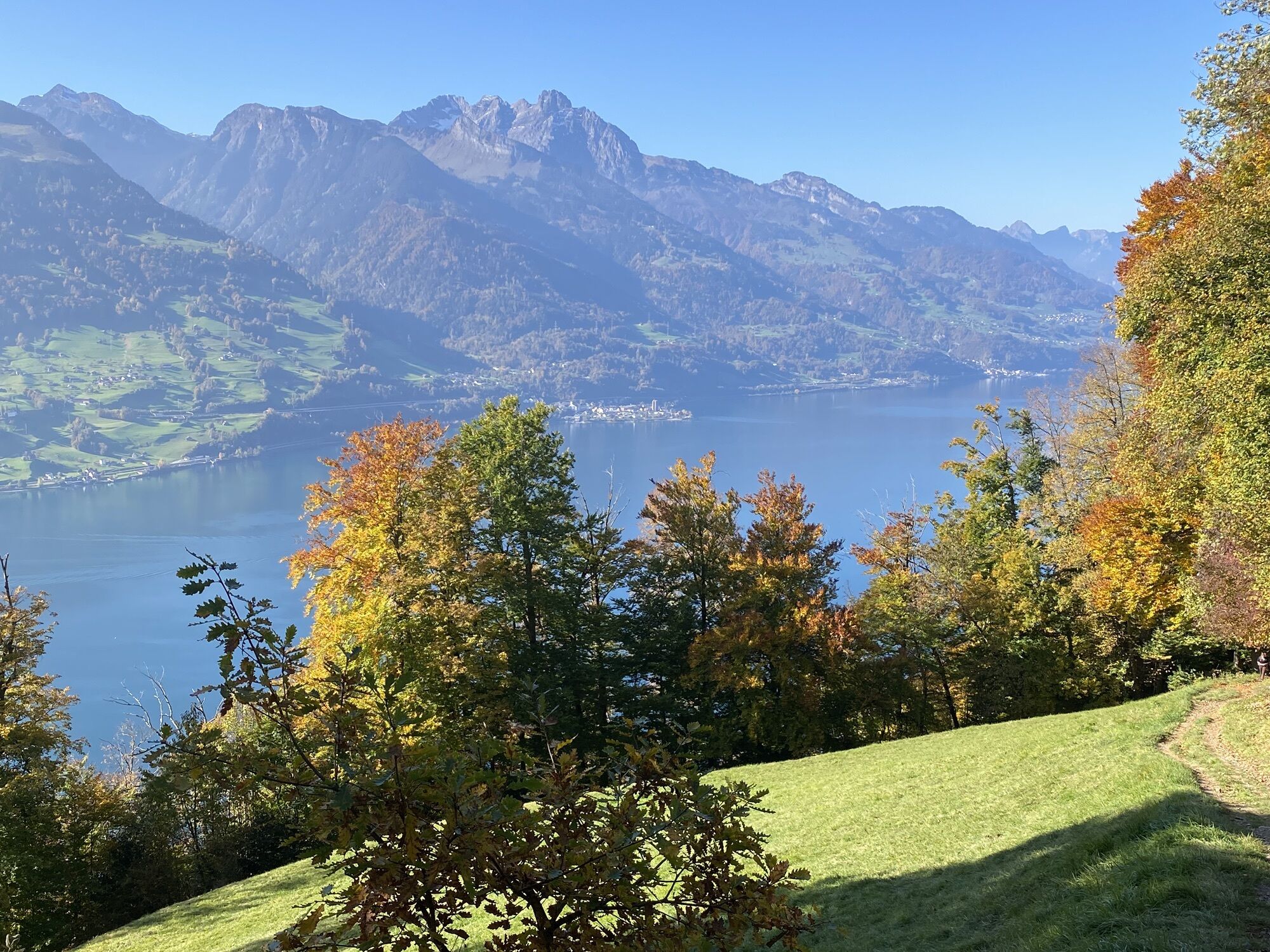
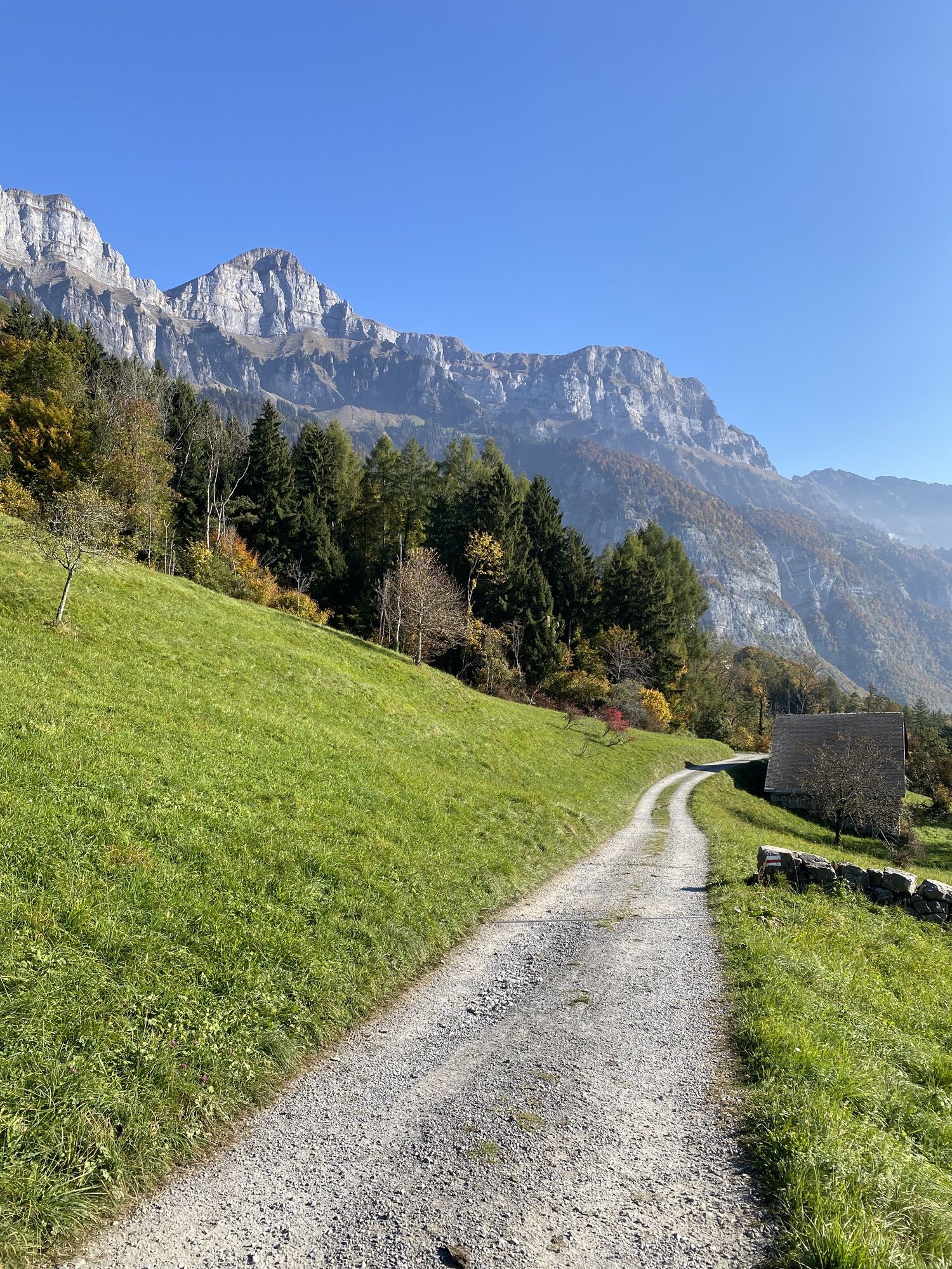
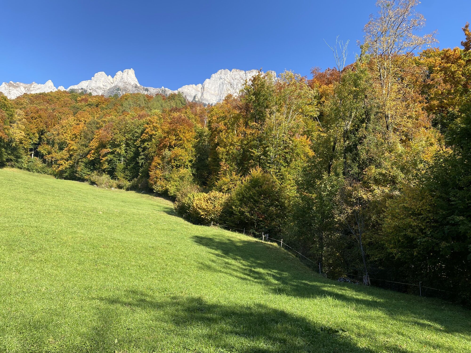
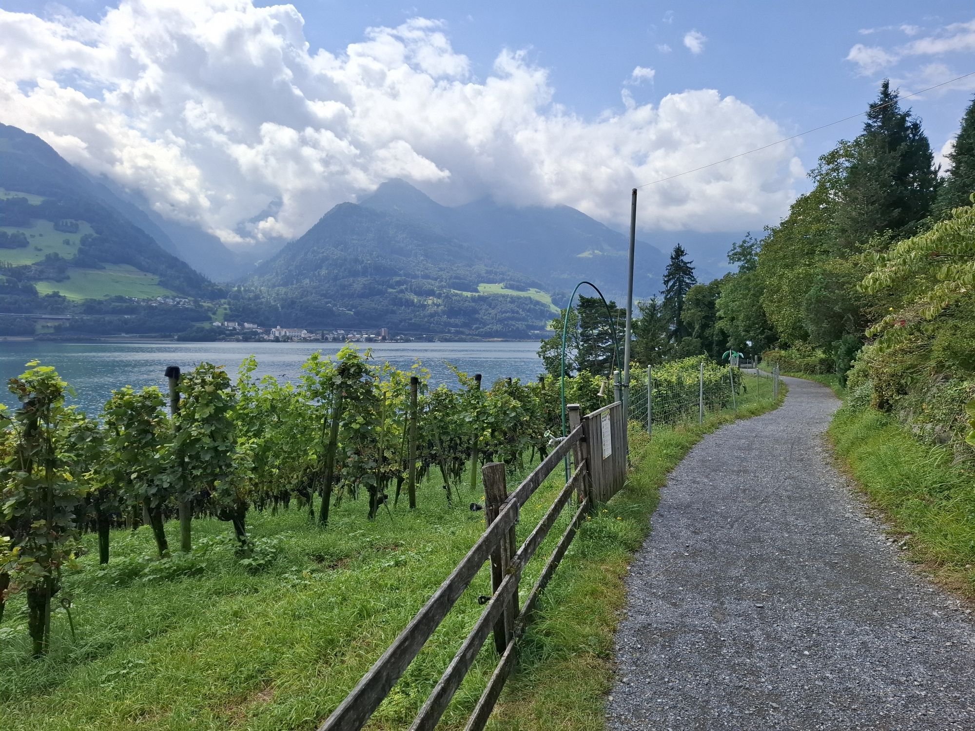
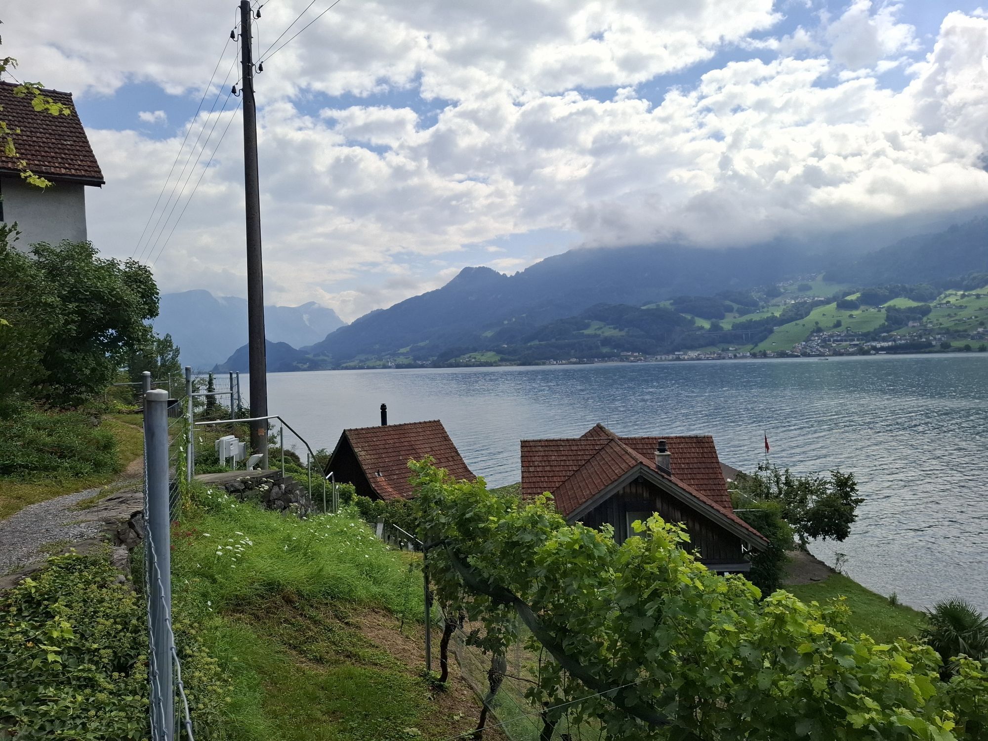
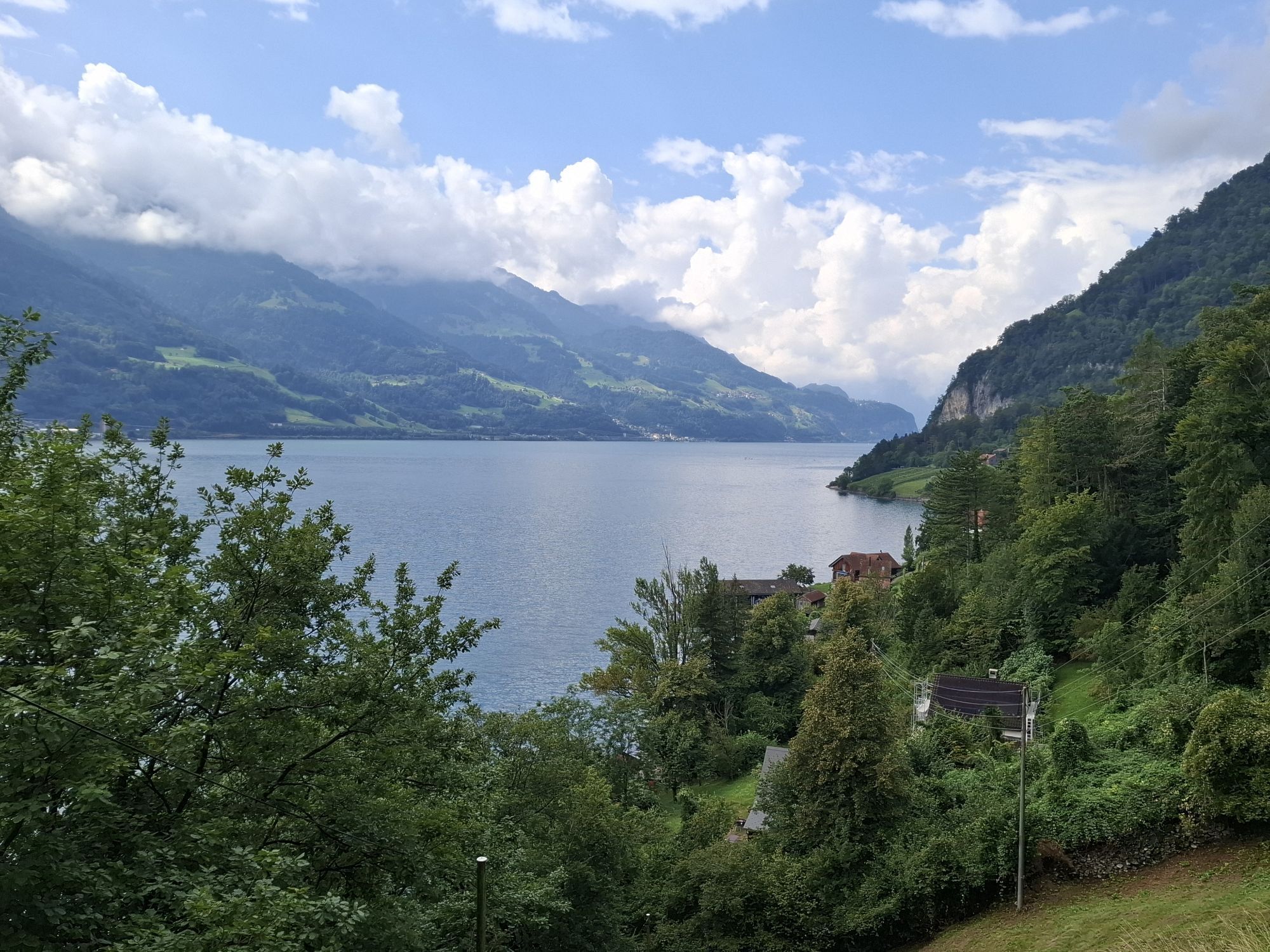
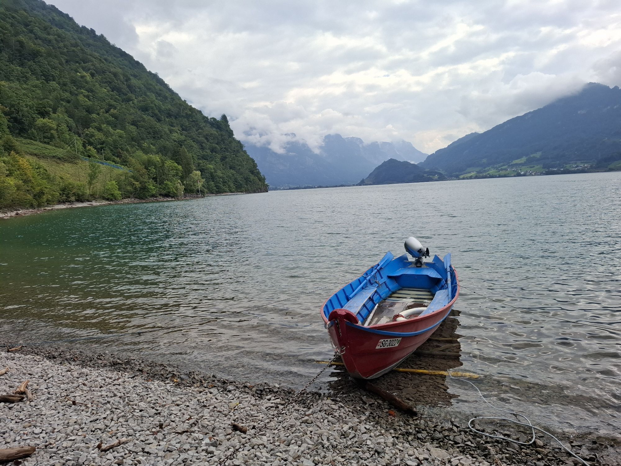
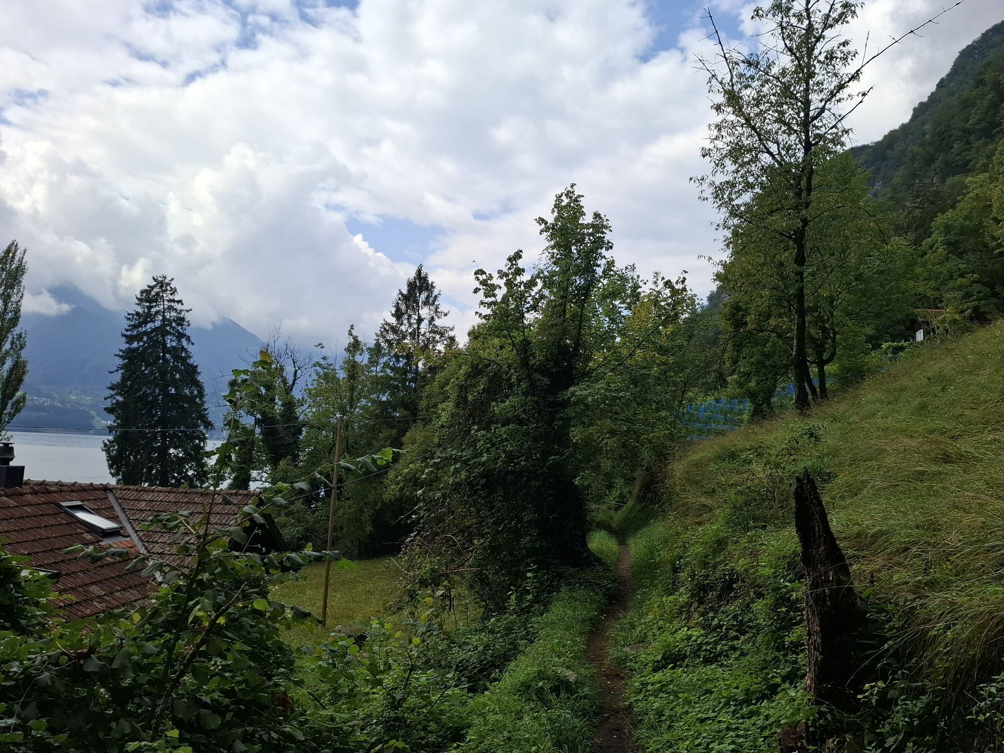
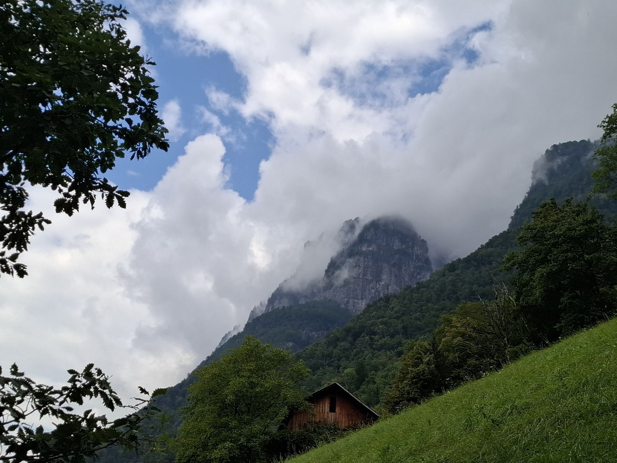
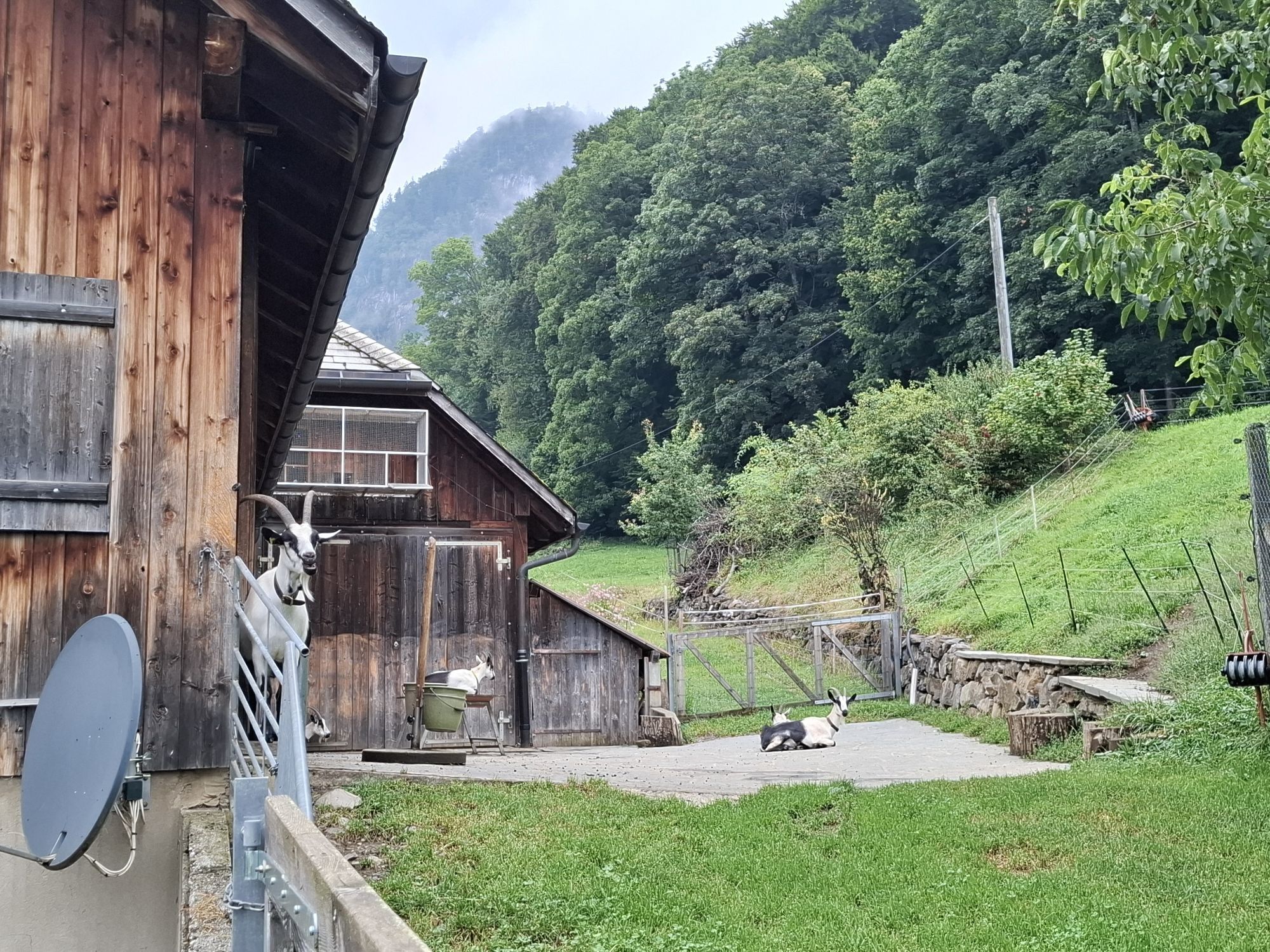
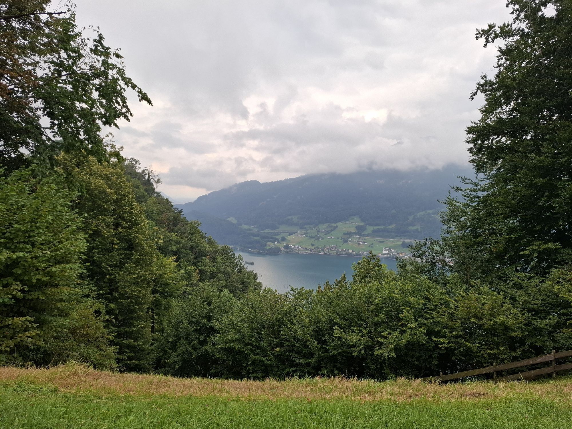
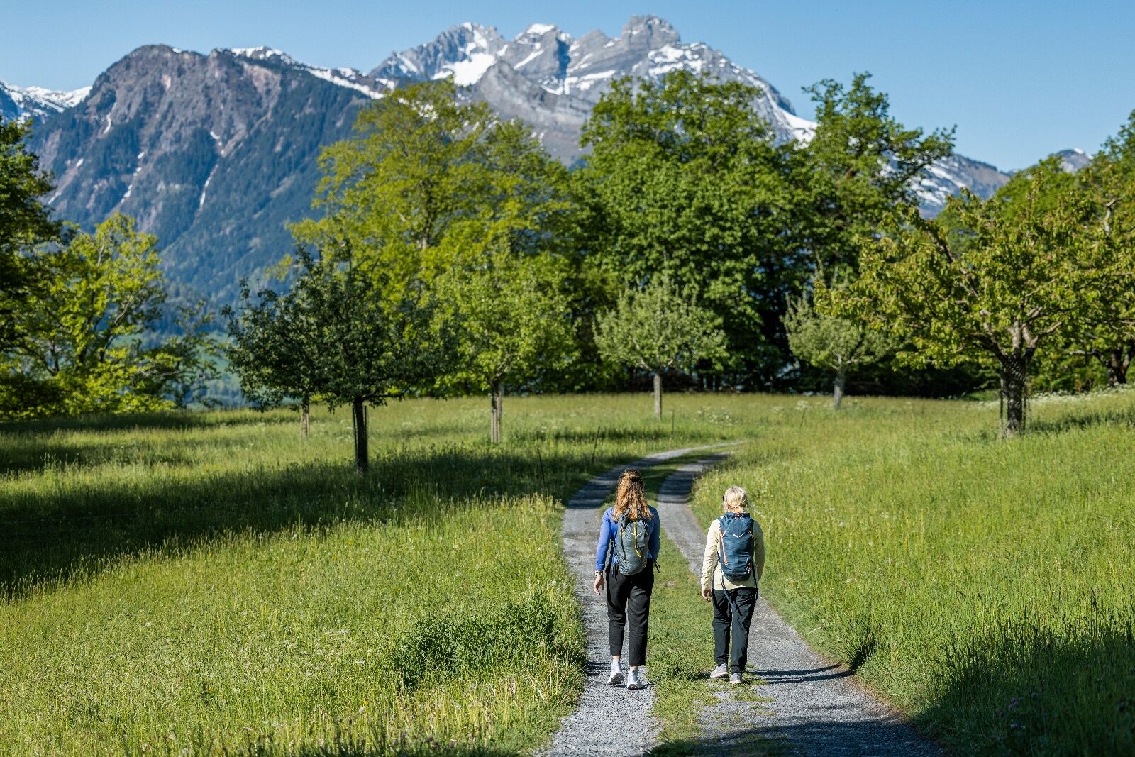
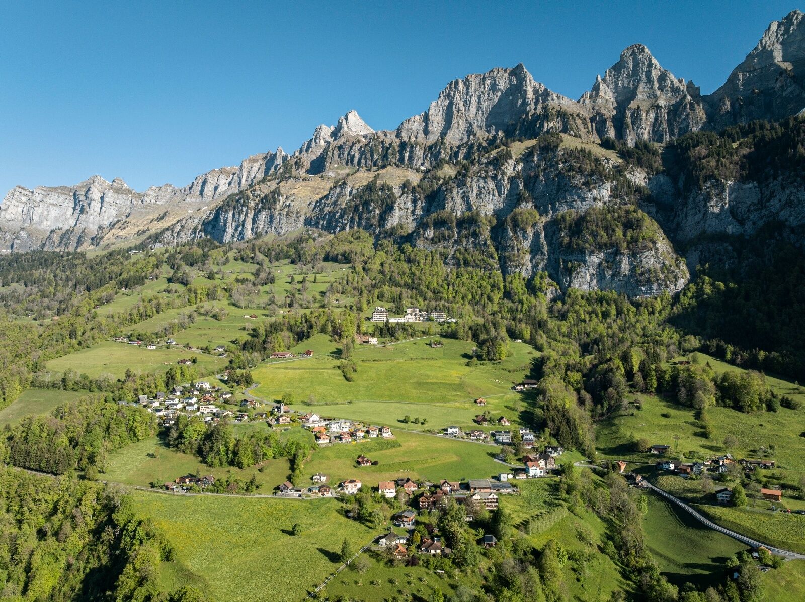
The starting point for this 8.7 km long trail is the information point of Walenstadt station at the boat landing pier (425 m above sea level). The first few meters run along the lake and playground. After this short warm-up, a steep but steady climb begins on a well-developed alpine road up to Frachtina (800 m). Throughout the ascent, you can repeatedly spot Lake Walen and the Flumserberge through the dense forest. Up to the Garadur clearing (829 m), you only have small, gentle inclines to overcome and time to admire the impressive Churfirsten on the right. From Garadur, the trail leads over roots and stones on a partly technically demanding and steep hiking path down to the lake (caution when wet!). Even during the descent, there are always beautiful views of the lake and surrounding mountains. Once the steep descent is behind you, the hiking path becomes less demanding again, and the landscape and topography become more varied. A bit up – a bit down – so continues the rest of the trail to Quinten. It passes vineyards, waterfalls, streams, rugged rock faces, small hamlets, and forests. And those who keep their eyes and ears open will see – or at least hear – the many lizards basking in the sun. On the last section from Au to Quinten, the hiking path becomes really wide again and passes a beautifully located barbecue area and spectacular rock faces.

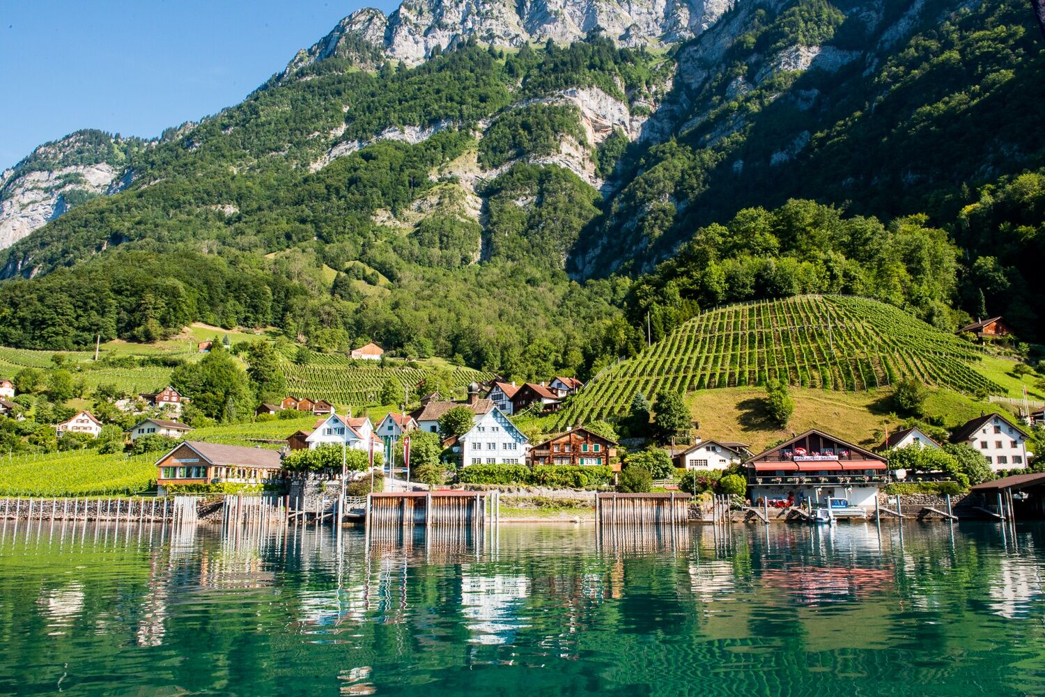
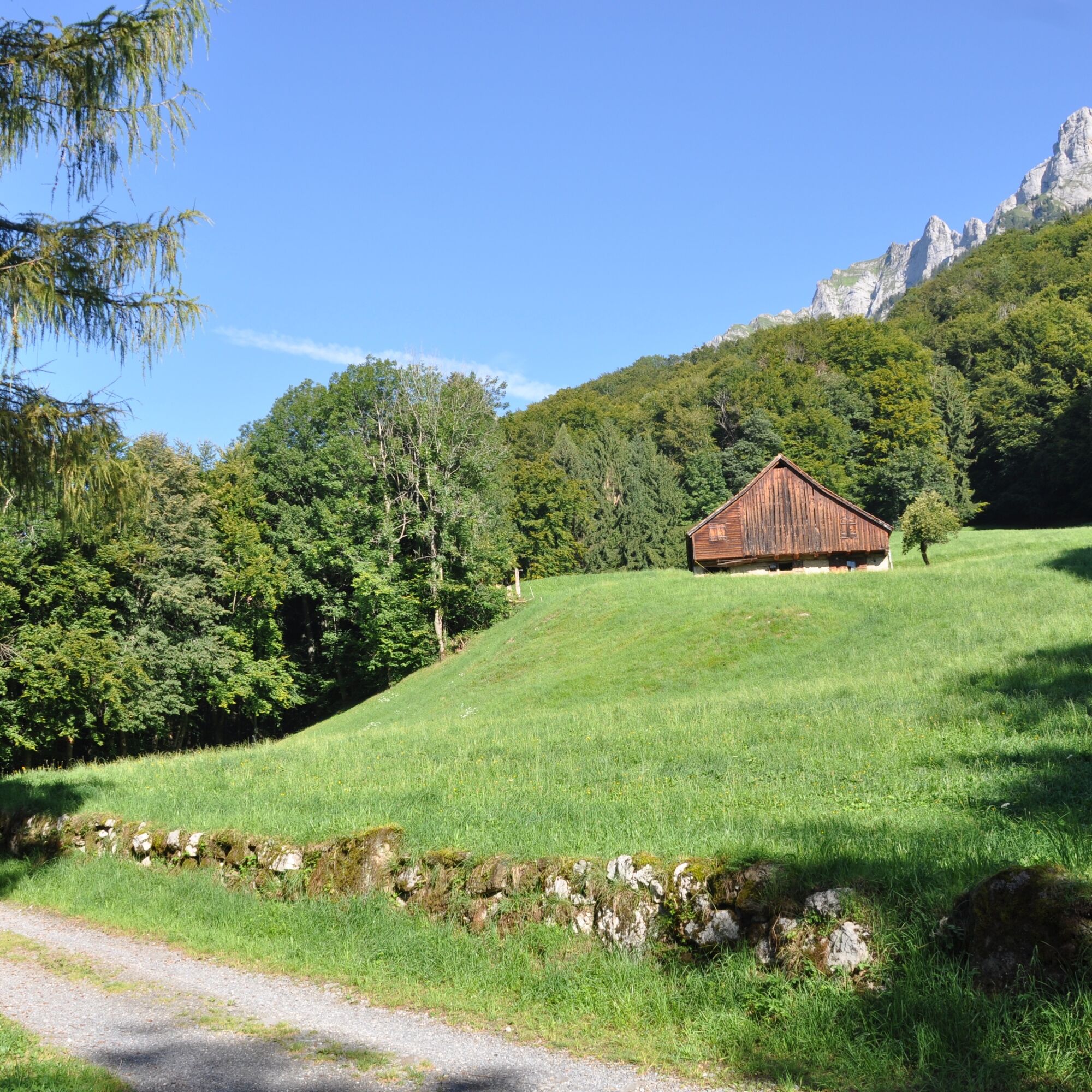
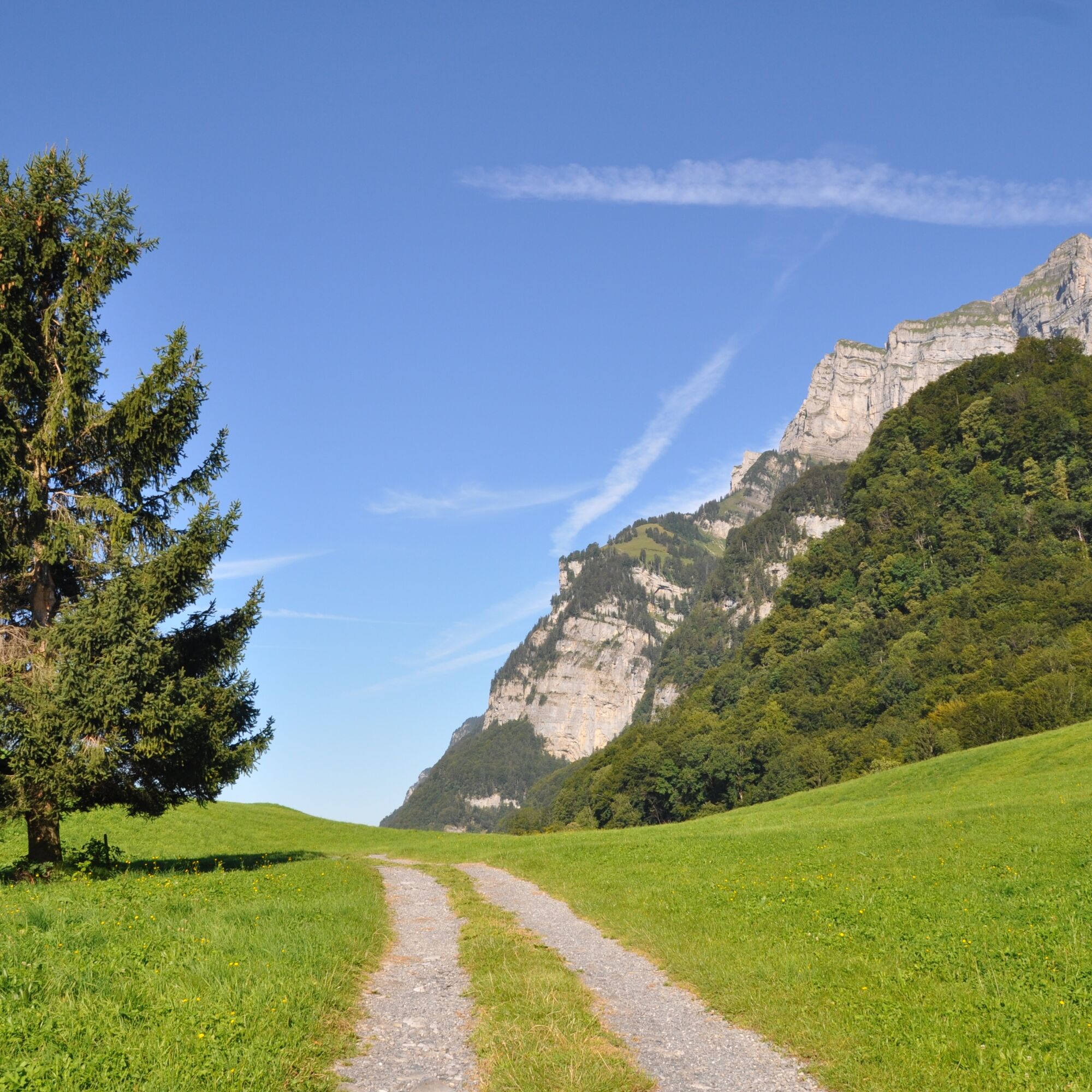
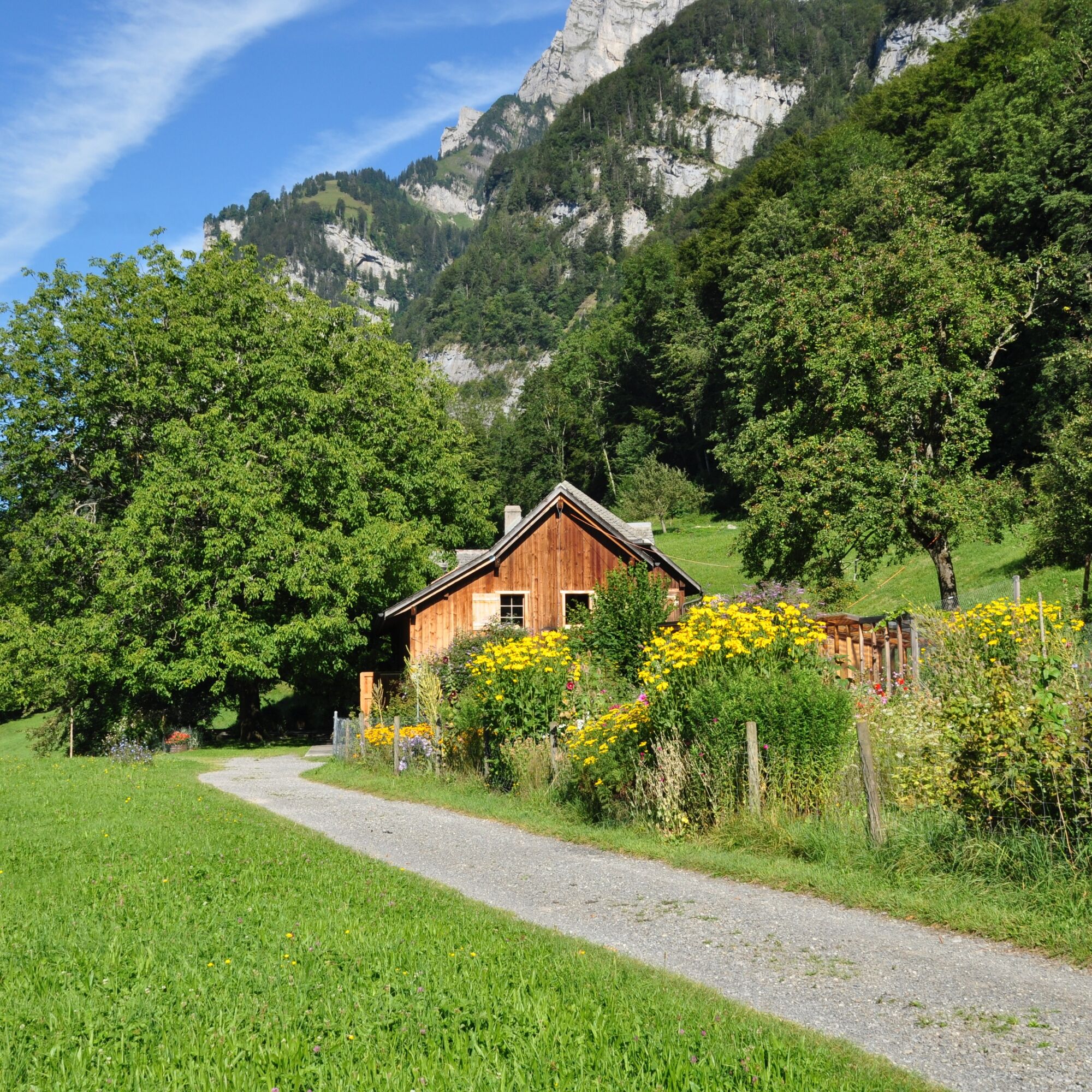
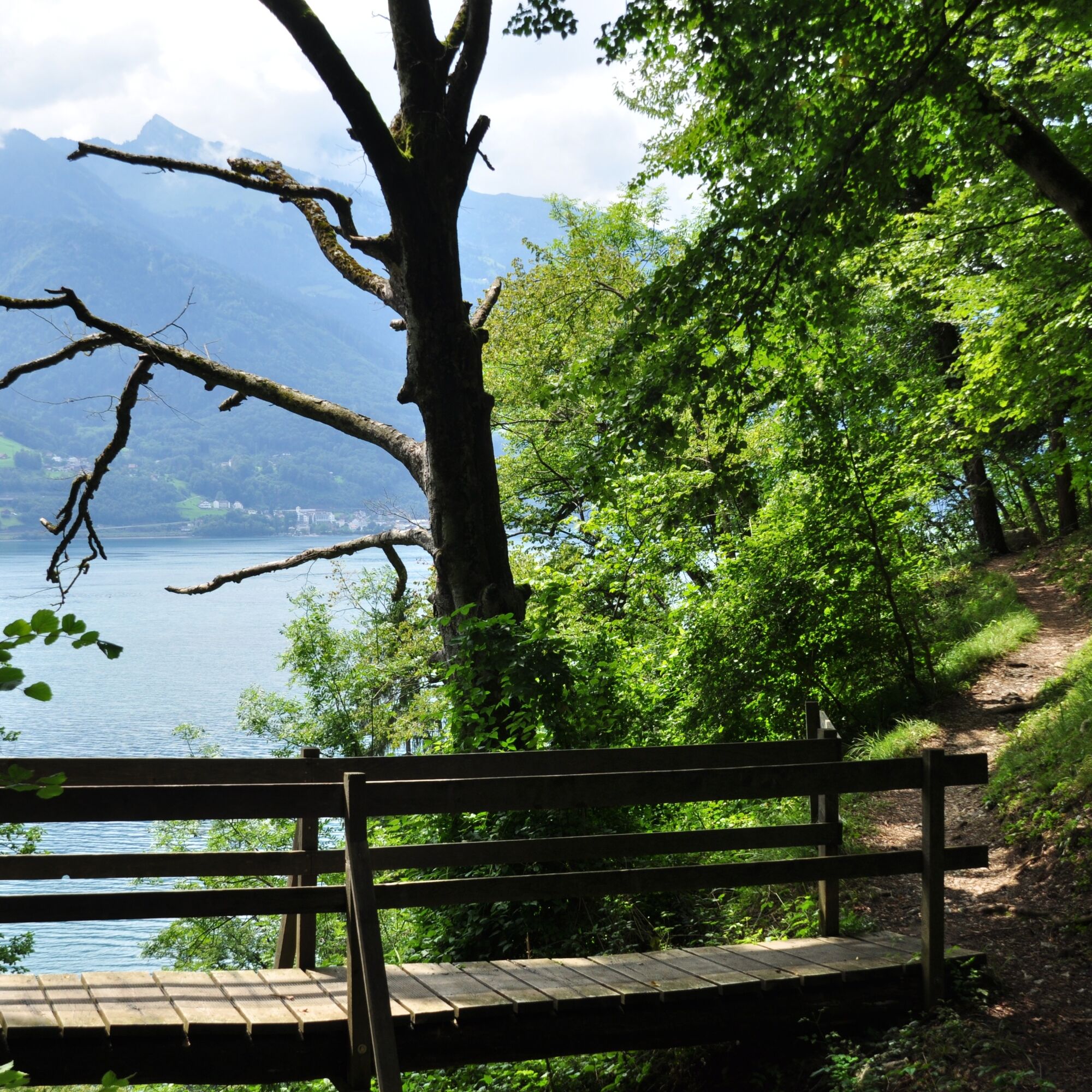
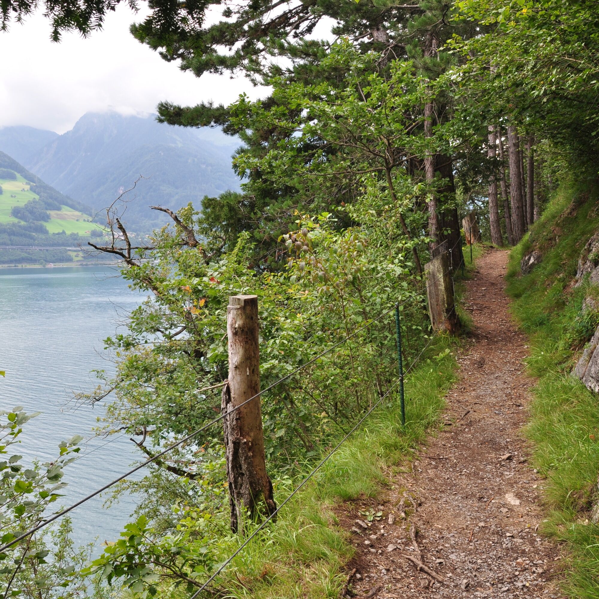
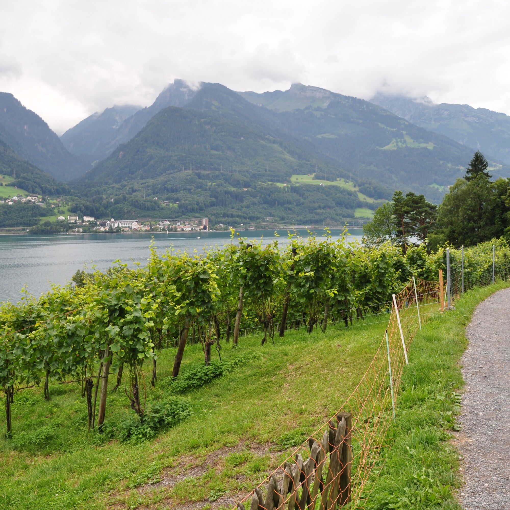
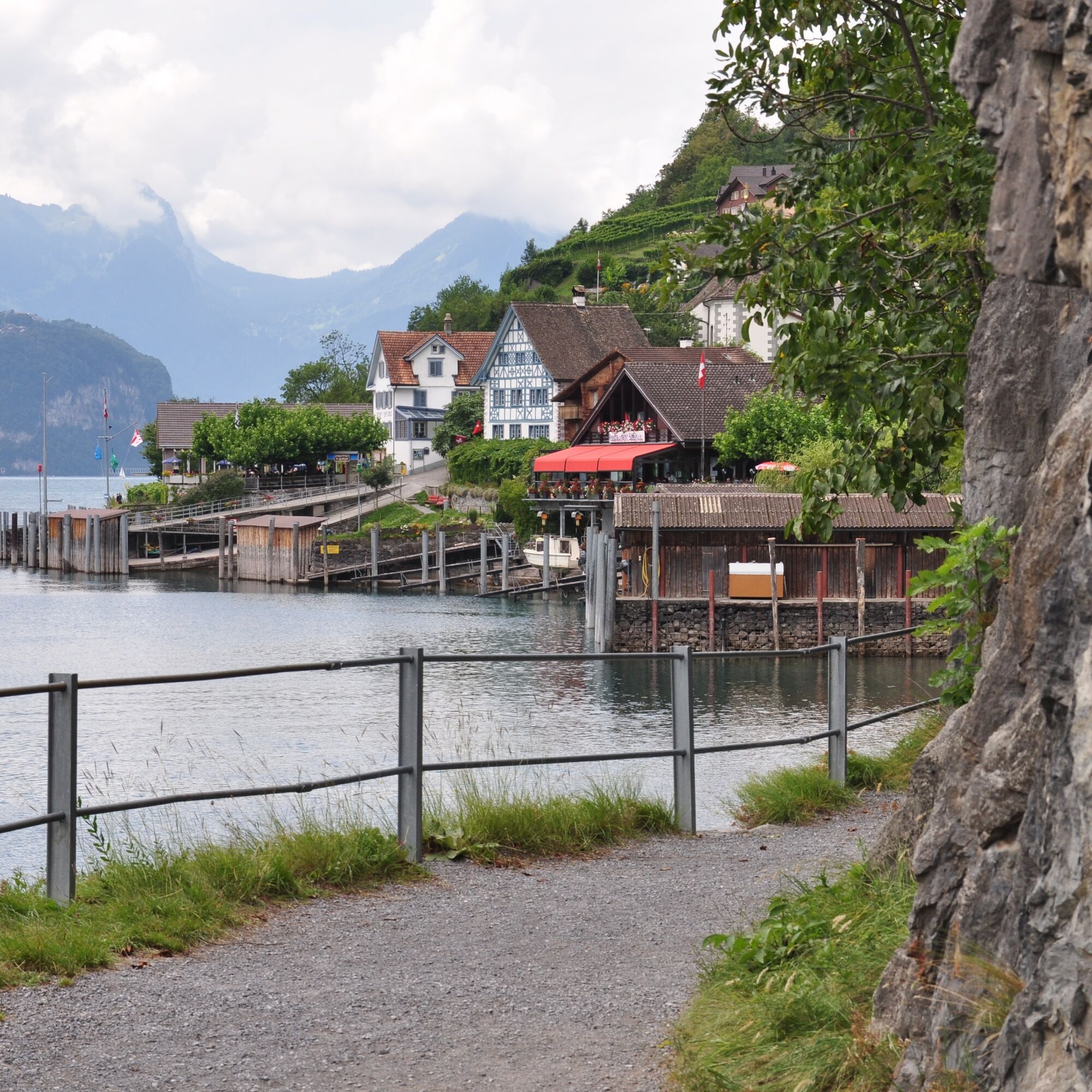
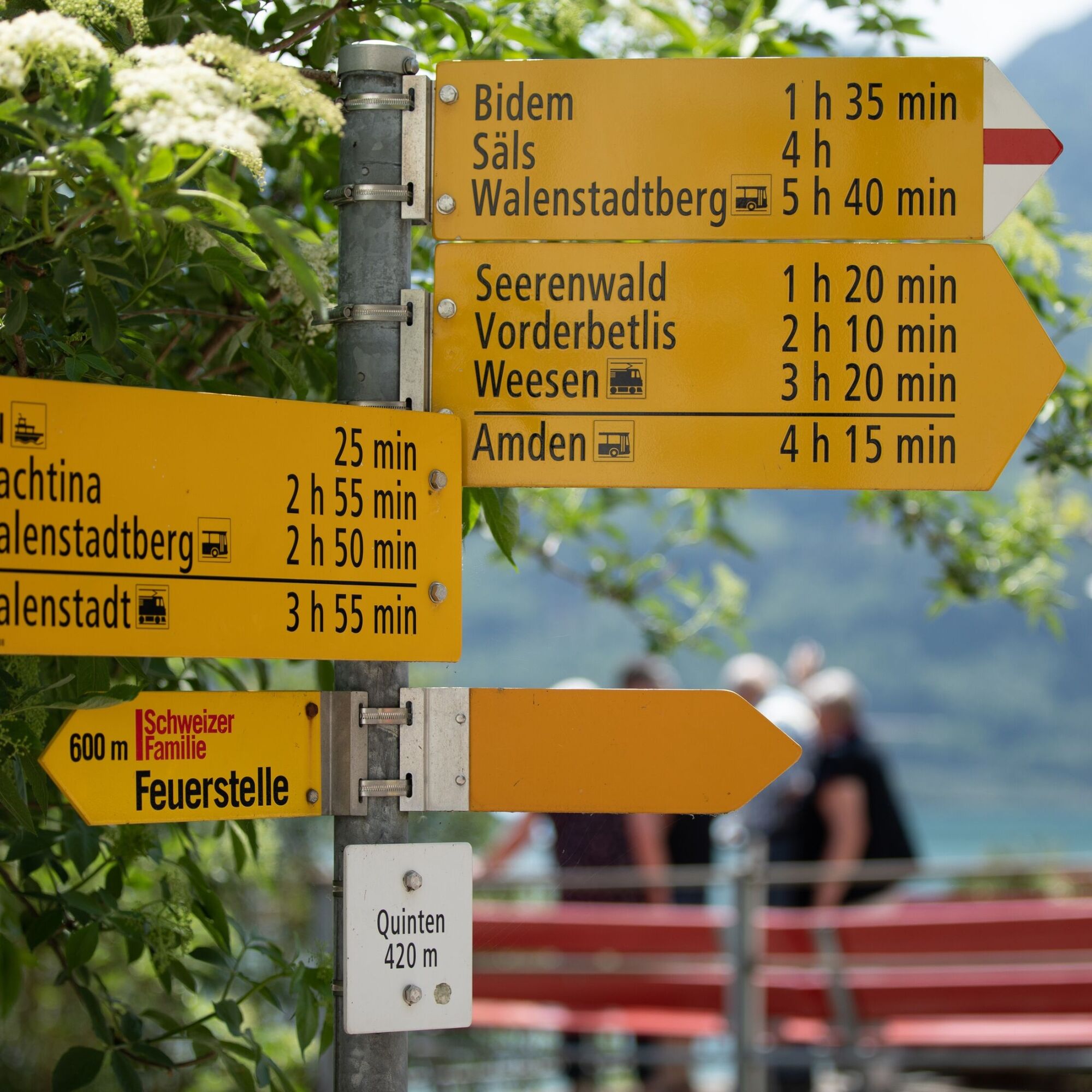
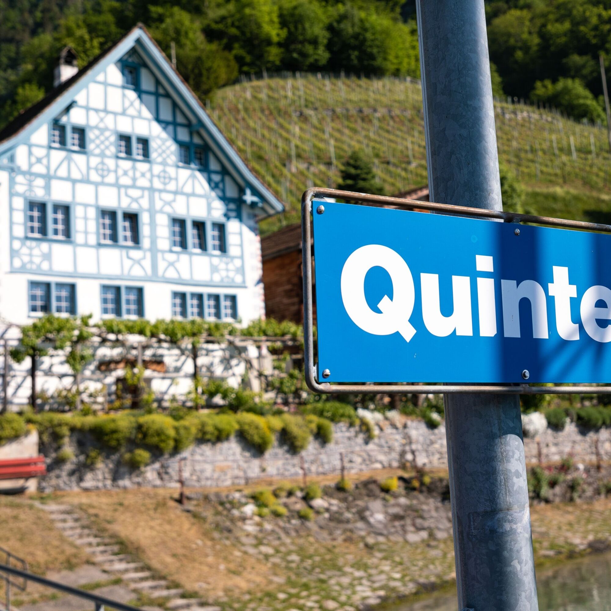
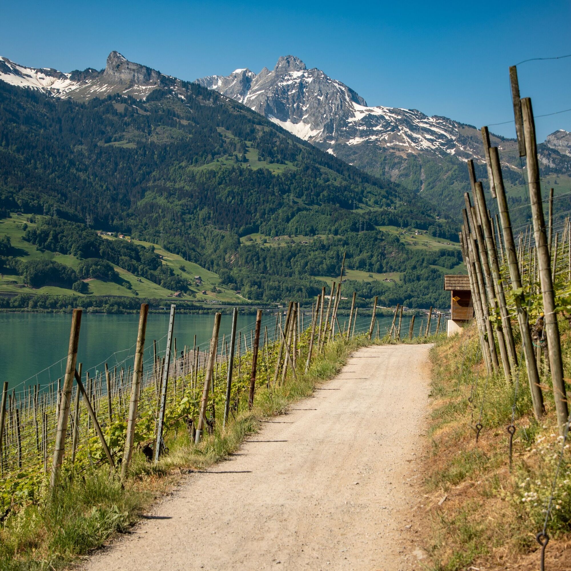

Walenstadt - Frachtina - Garadur - Au - Quinten
Good and comfortable jogging gear.
Take the Walenstadt/Flums highway exit and then follow the main road towards Walenstadt. Then follow the signs for the harbor.
Arrival by train to Walenstadt and bus to Walenstadt harbor
Daily to Walenstadt, then continue with bus 442 towards Flums, train station until the Walenstadt harbor stop.
Public parking spaces are available at Walenstadt harbor (paid).
Heidiland Tourism
Information Office Flumserberg
T +41 81 720 18 18
www.heidiland.com
The Outdoor Fitness Trails run mostly on official hiking paths. The trail signage also helps with orientation along the way.




Aktywności na trasie
-

Walenstadt, St. Gallen/Schweiz
02.08.2026 – Wędrówka -

Walenstadt - Quinten
21.06.2026 – Przechadzka -

Walenstadt, St. Gallen/Schweiz
13.06.2026 – Wędrówka -
Walenstadt, St. Gallen/Schweiz
14.05.2026 – Wędrówka -

Walenstadt, St. Gallen/Switzerland
09.05.2026 – Wędrówka -

Walenstadt, St. Gallen/Schweiz
05.04.2026 – Wędrówka -
Walenstadt, St. Gallen/Schweiz
19.03.2026 – Wędrówka -

Walenstadtberg - Quinten
13.07.2018 – Wędrówka
Popularne wycieczki w okolicy
-
4,8
Walensee Riviera Weesen - Quinten
średniWędrówka 10,2 km -
4,7
Riviera Lake Walen Walenstadt-Quinten
średniWędrówka 10,4 km -
4,6
Weesen - Quinten - Walenstadt
ciężkiWędrówka 20,6 km -
4,9
Säntis-Gipfeltour, Wasserauen / Appenzell Innerrhoden
ciężkiWędrówka 21,1 km -
4,6
Säntis
średniWycieczki górskie 17,5 km -
4,5
7-Peak Tour Flumserberg
ciężkiWędrówka 15,0 km -
4,9
Alpine and Cultural Trail Schrina
średniTrasa tematyczna 11,5 km -
4,7
Alvier
średniWędrówka 3,33 km -
4,5
4-Summit-Route Flumserberg
średniWędrówka 8,65 km -
4,9
Fronalpstock GL
średniWędrówka 7,84 km
Wędrówki i tropienie


Nie przegap ofert i inspiracji na następne wakacje
Twój adres e-mail została dodana do listy mailingowej.





