


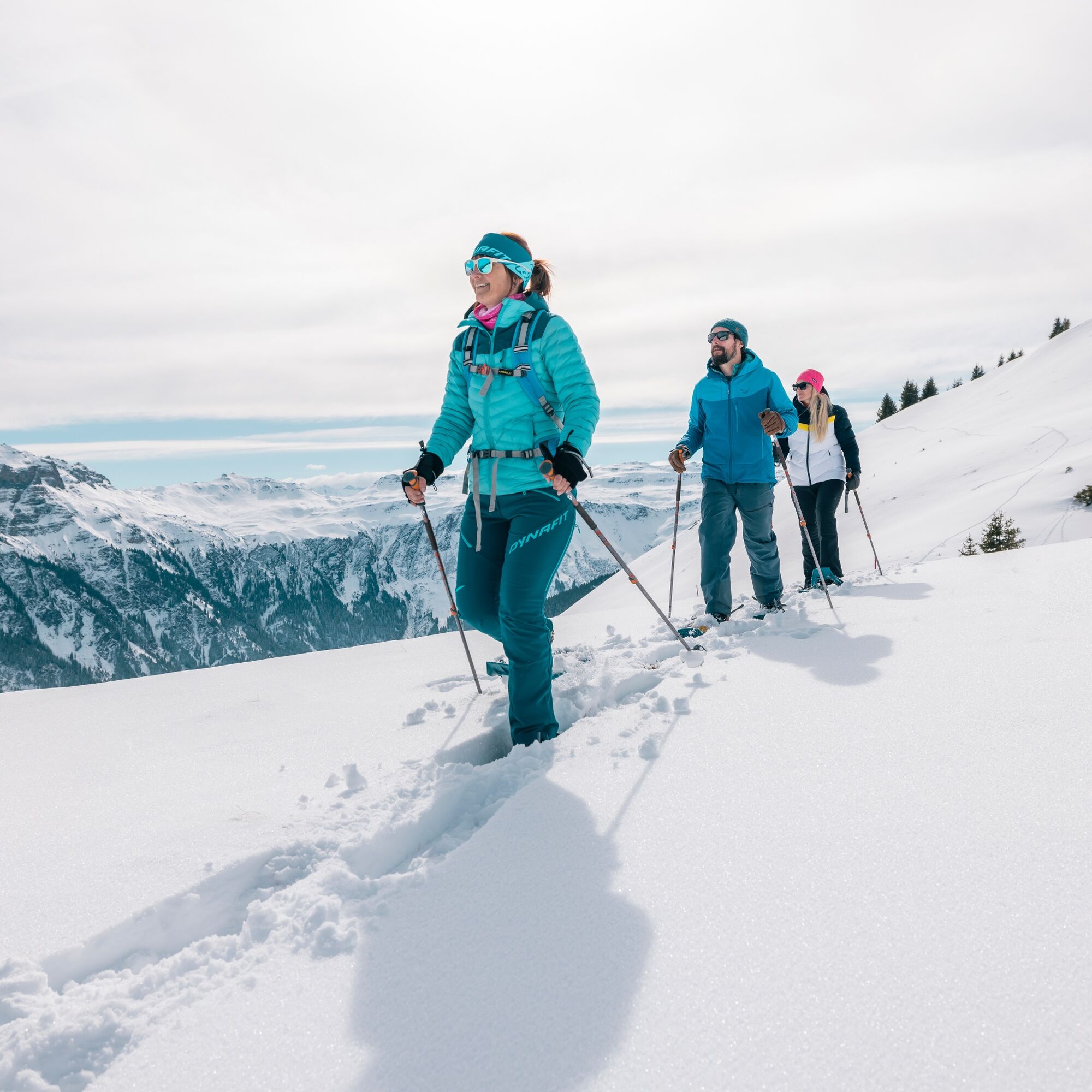
Panüöl-Prodalp snowshoe trail
Away from the bustle of the ski slopes, it is a special pleasure on the Panüöl-Prodalp snowshoe trail to enjoy the idyll of nature at Flumserberg.

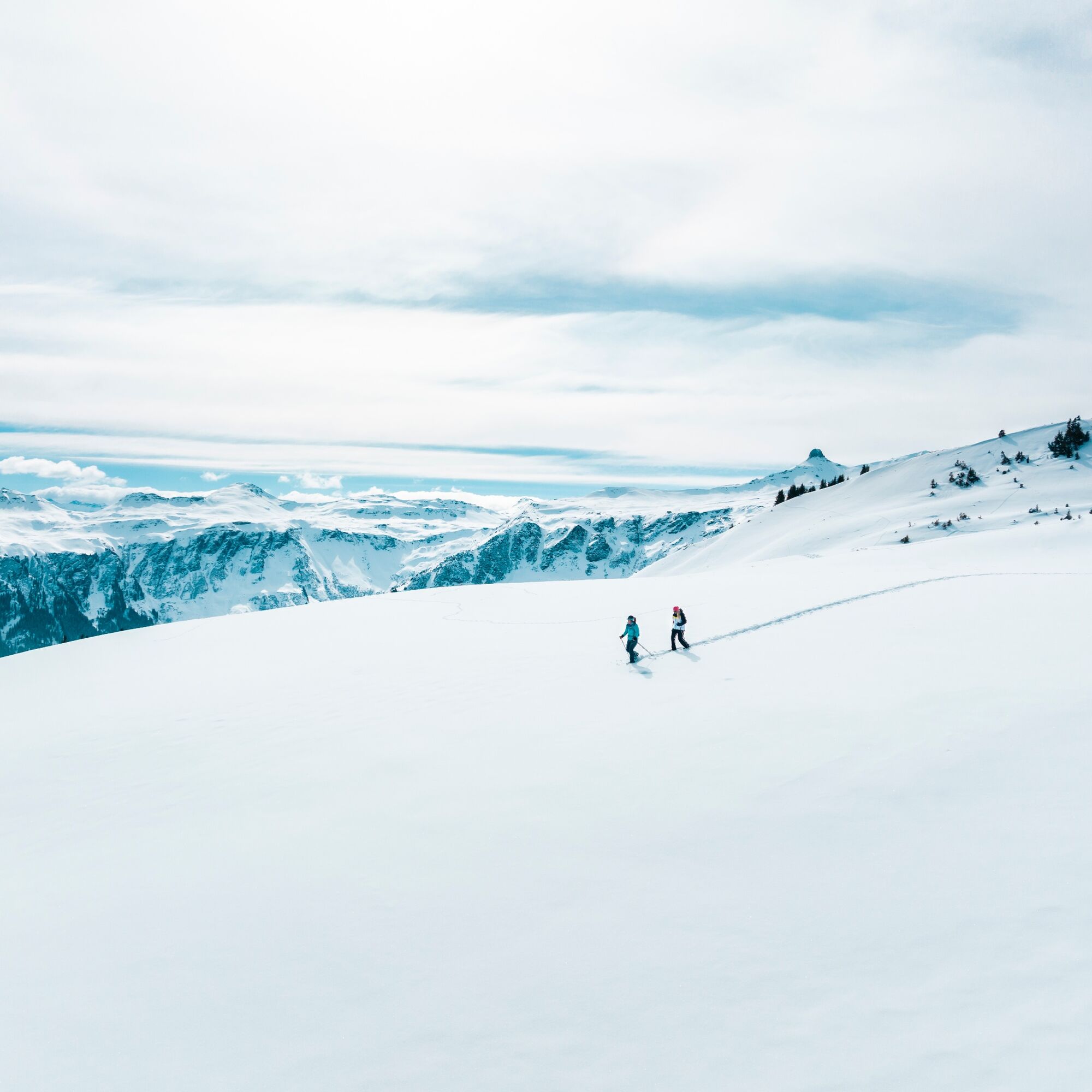
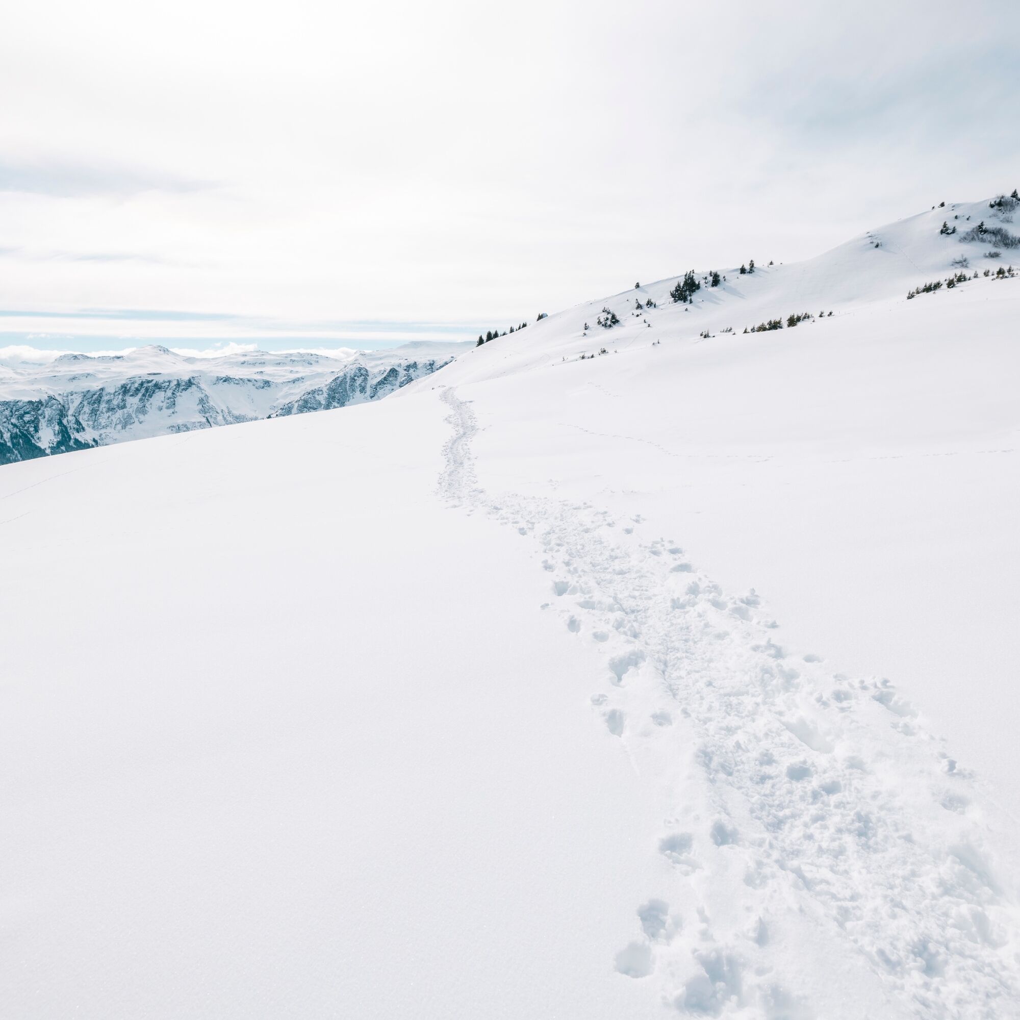
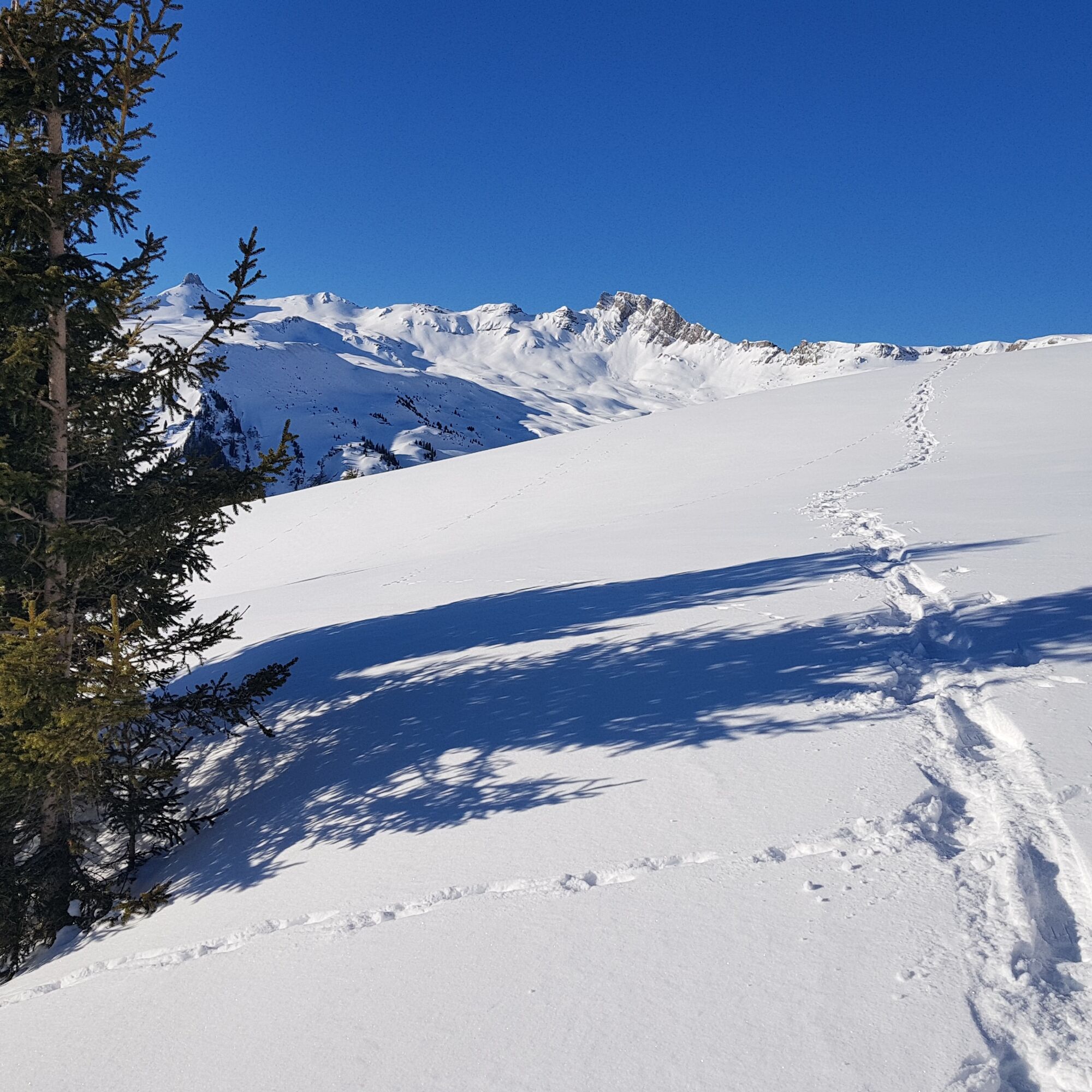
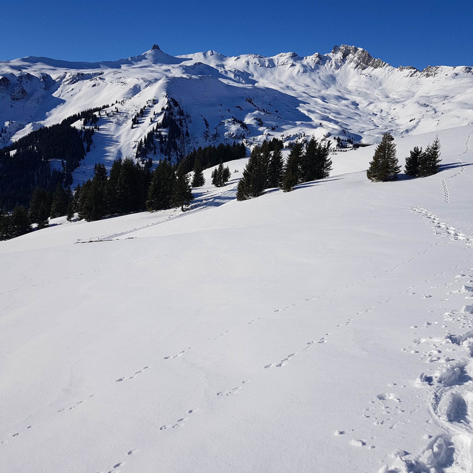
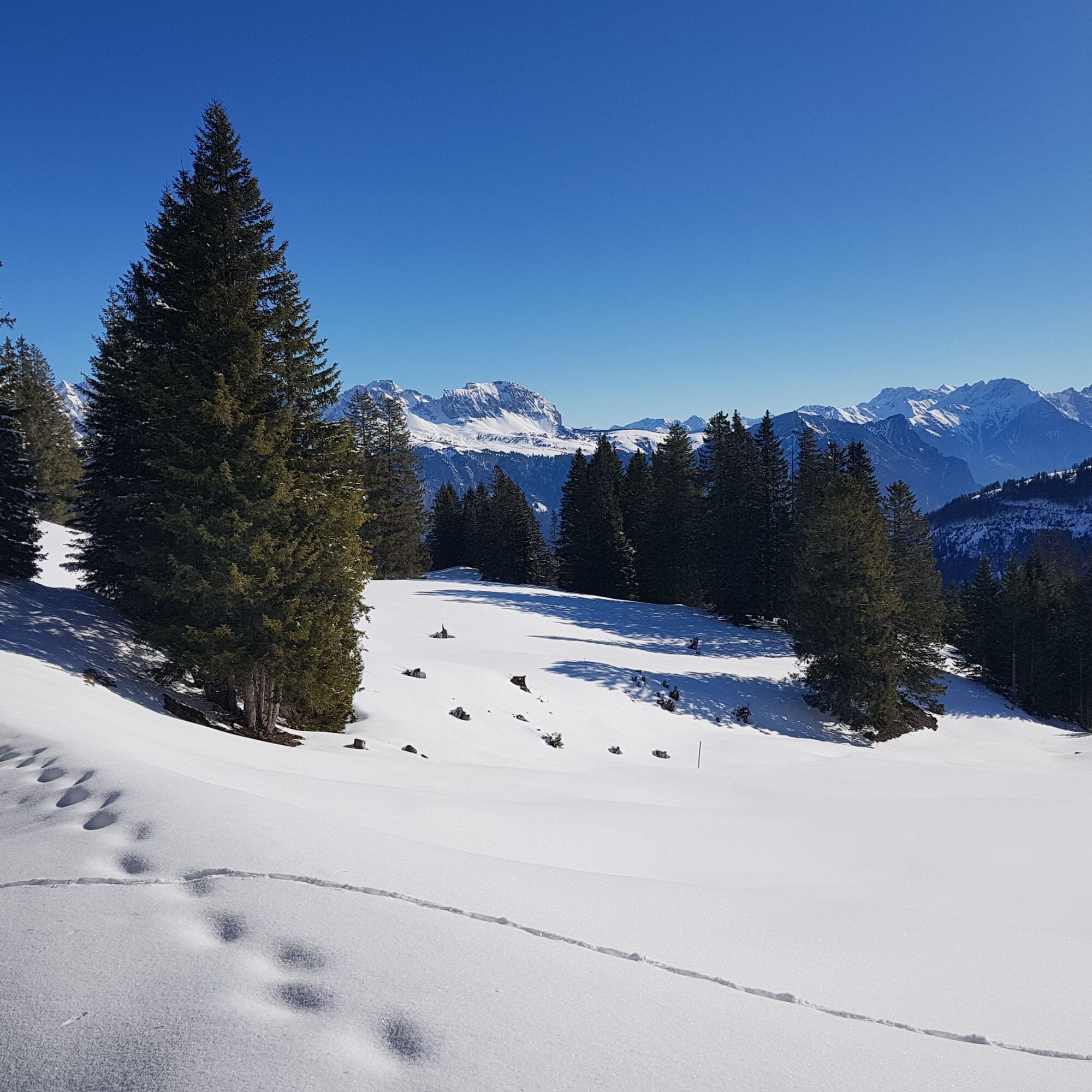
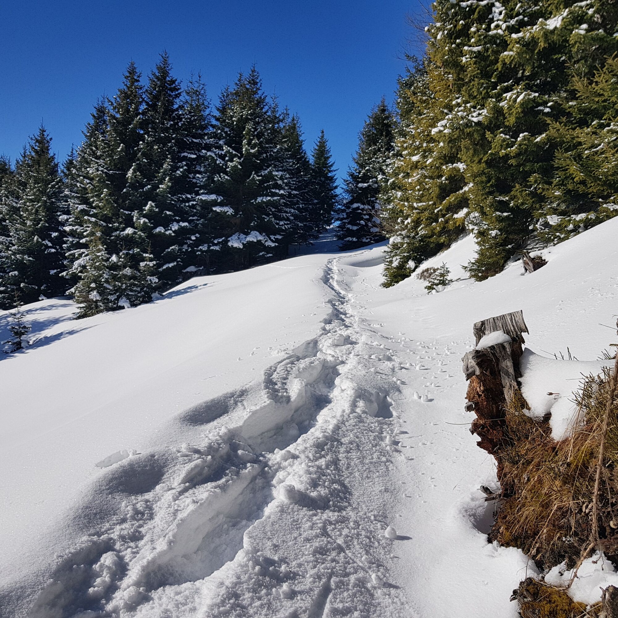
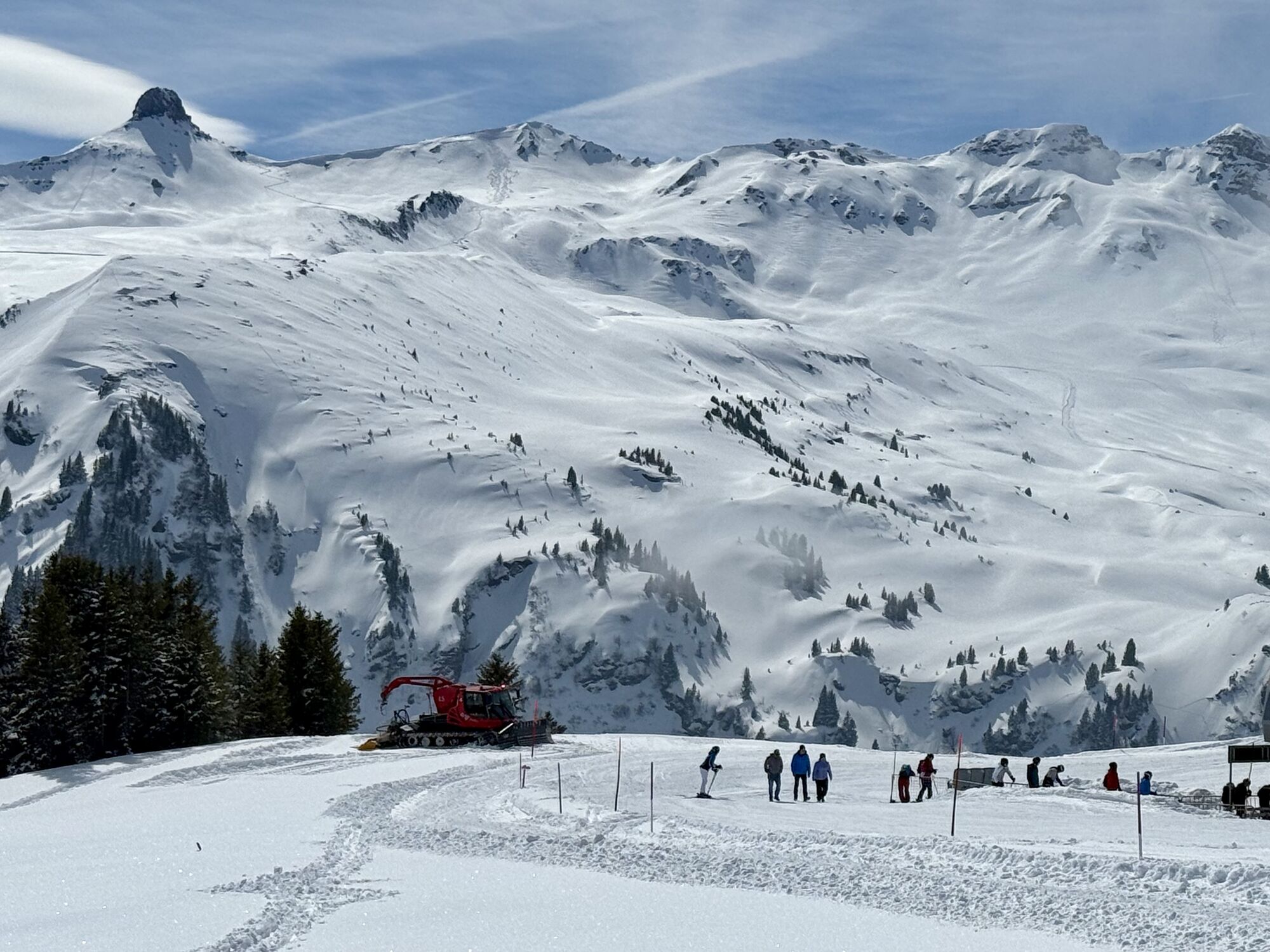
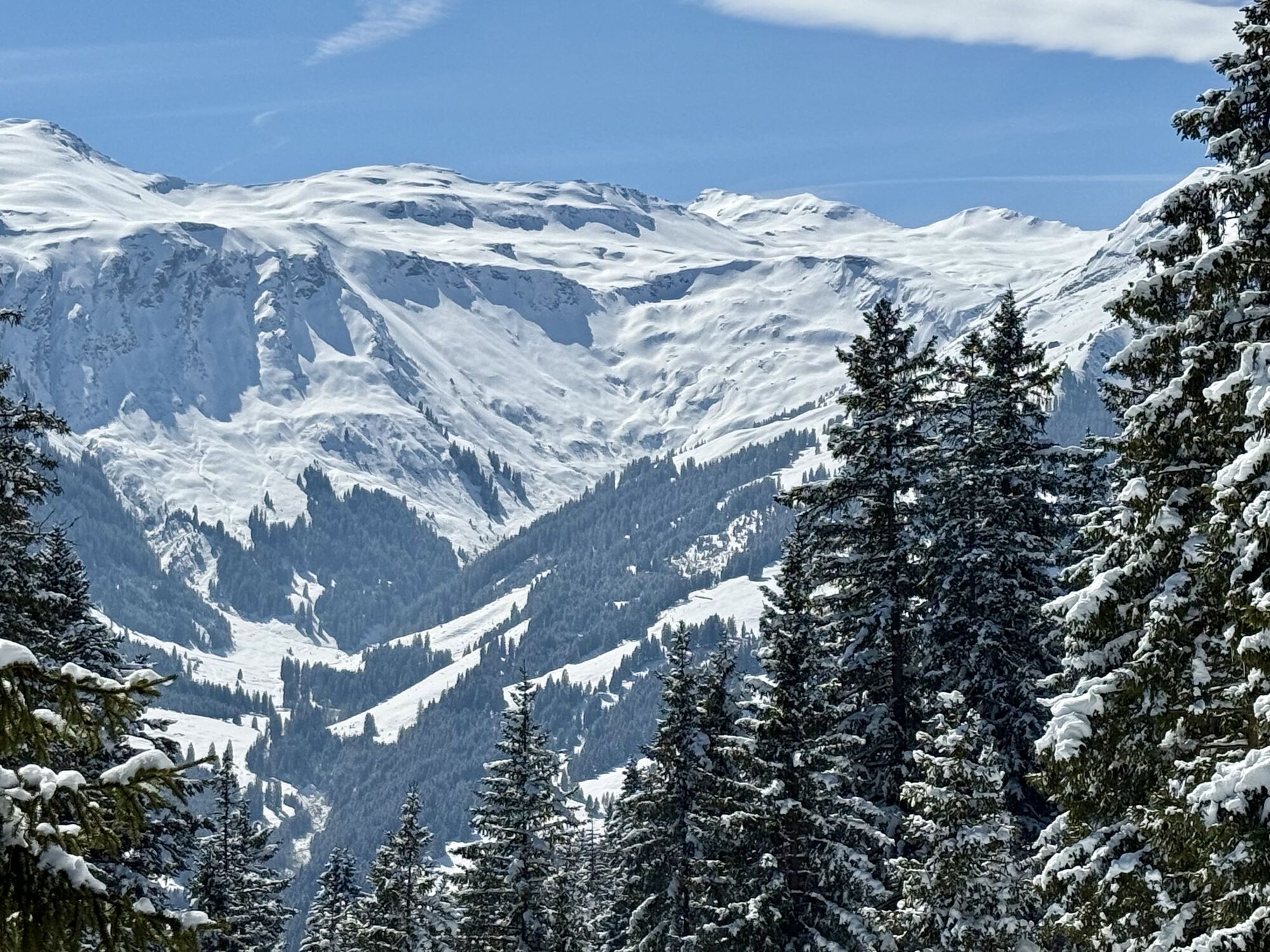
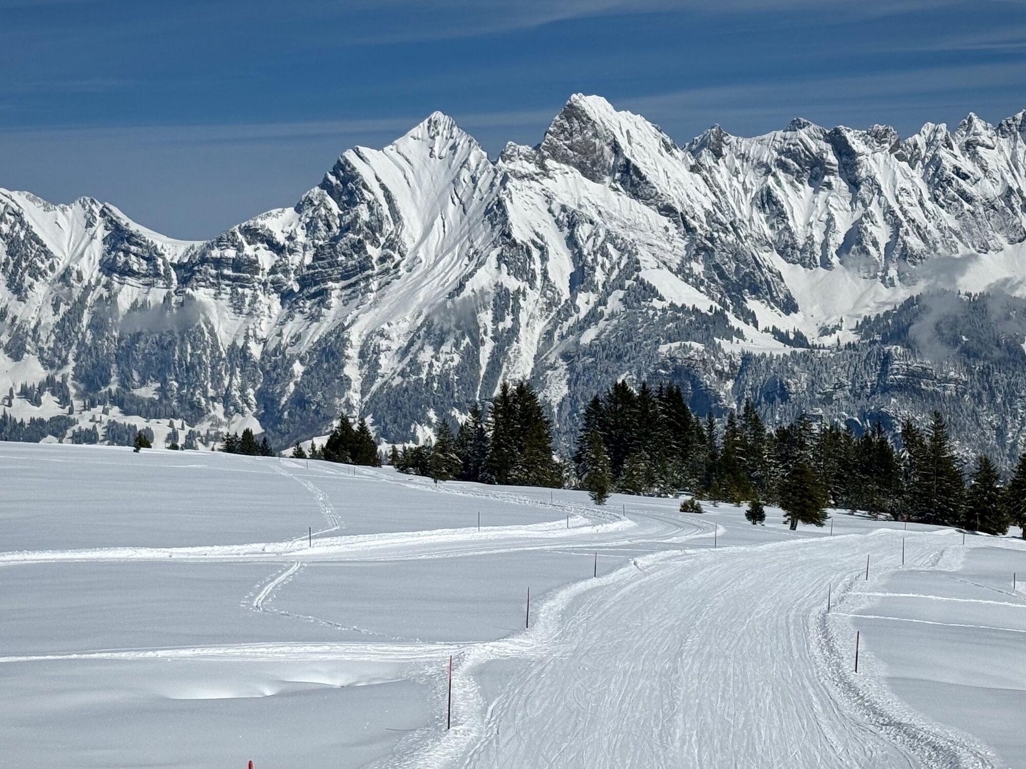
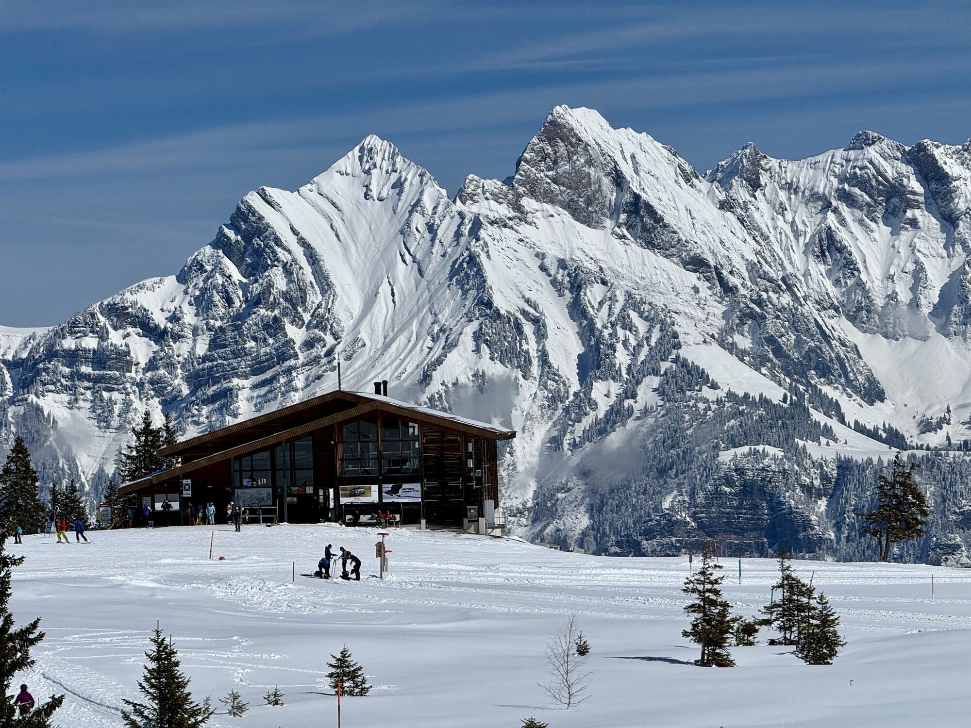
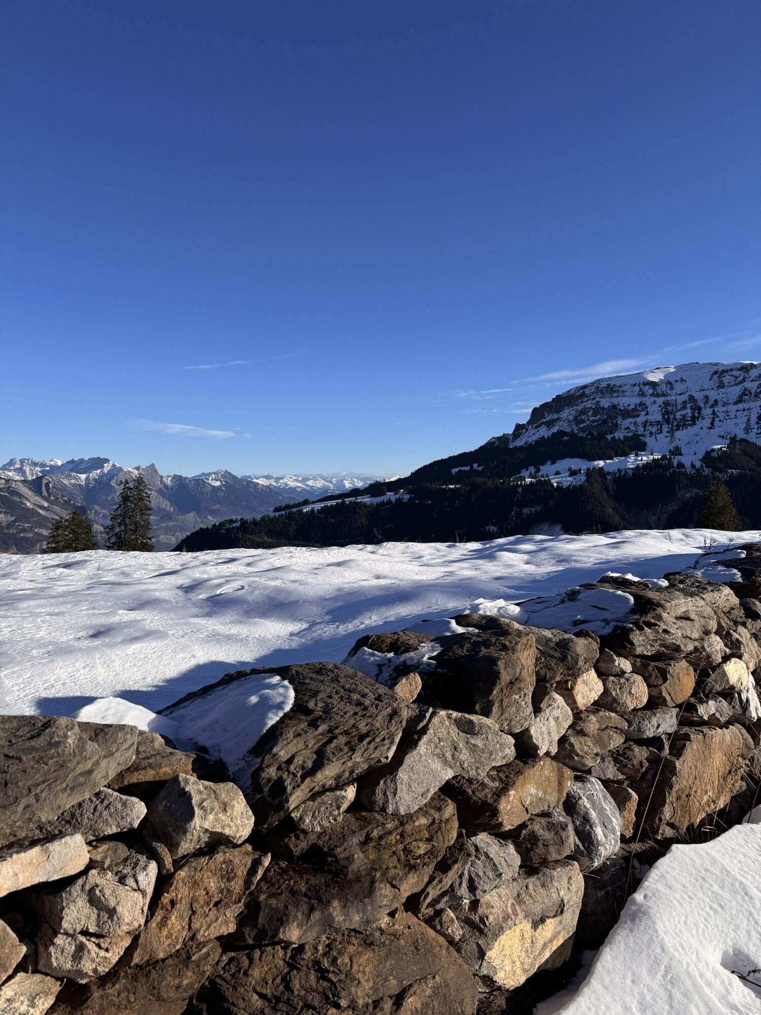
The snowshoe trail begins at the alpine restaurant Panüöl. What was once a small tea hut is now a popular meeting place for winter sports enthusiasts and nature lovers. On the cozy sun terrace, you can enjoy the wonderful view of the Spitzmeilen. The route starts with a gentle ascent—ideal for warming up. At the foot of Maschgenkamm, the highest point of the route is already reached. The initially steep descent through sunlit spruce forest is wonderful. Eventually, you reach the prepared winter hiking trail Prodalp-Panüöl and follow it for a short stretch. The soft murmur of the mountain streams with their elegant ice columns perfects the winter idyll. With some luck and a keen eye, you can spot snow hares here. At the Rotenberg rest area, benches invite you to take a break with a view of the impressive Spitzmeilen area. Shortly after Rotenberg, the trail branches off to the right, leaving the winter hiking trail. Trudging through the deep snow, you continue towards Prodalp. The trail becomes flatter and you slowly approach the lively winter scene of Prodalp. Before descending to the mountain restaurant, take a moment to take in the fantastic view: before your eyes stand the Churfirsten – the panoramic view of Selun, Frümsel, Brisi, Zuestoll, Schibenstoll, and Hinderrugg is unique. At the mountain restaurant, the destination of the snowshoe hike is reached. At Prodalp, you can wonderfully conclude the route and fully enjoy the afternoon sun.
Standard winter sports equipment including snowshoes and possibly poles.
Snowshoes can be rented at the INTERSPORT Network Flumserberg branches Tannenboden and Tannenheim.
Exit Flums/Flumserberg on the motorway, follow the main road towards Flumserberg Tannenboden.
Accessible by train and bus
Arrival by train: Arrival by Train | Bergbahnen Flumserberg AG
Arrival by car: Arrival by Car | Bergbahnen Flumserberg AG
Parking at Flumserberg: Parking (flumserberg.ch)
To get to the start of the snowshoe trail, we drive to Tannenboden. From Tannenboden we take the BergJet to Maschgenkamm. From there we can also take the chairlift to Panüöl.
Alternatively, we can go to Tannenheim and from there take the Prodalp-Express to Prodalp. The Prodalp-Panüöl snowshoe trail then takes us to the starting point in Panüöl.
Public parking is available at Tannenboden.
The parking lots are charged from 07:00 to 17:00. From 17:00 to 02:00 you can park your car for free.
There is a night parking ban from 02:00 to 07:00. There are enough night parking spaces in the Tannenboden parking garage or in Tannenheim.
The night parking lot can be used for a fee, but camping is prohibited.
Alternative: BikerCamping powered by Aparthotel Edy Bruggmann
Bergbahnen Flumserberg
Molseralpstrasse 9
8898 Flumserberg
T + 41 81 720 15 15
www.flumserberg.ch
Heidiland Tourism
Information Point Flumserberg
T +41 81 720 18 18
www.heidiland.com
Enjoy the sunny, managed alpine restaurant Panüöl with the best view of the local mountain Spitzmeilen. The Spitzmeilen is known for its impressive shape and has an elevation of 2,501 m.
Popularne wycieczki w okolicy
- 4,8
Walensee Riviera Weesen - Quinten
średniWędrówka 10,2 km - 4,7
Riviera Lake Walen Walenstadt-Quinten
średniWędrówka 10,4 km - 4,6
Weesen - Quinten - Walenstadt
ciężkiWędrówka 20,6 km - 4,6
5-Seen Wanderung am Pizol
światłoWędrówka 10,1 km - 4,7
Alvier
średniWędrówka 3,33 km - 4,6
4-Summit-Route Flumserberg
średniWędrówka 8,65 km - 4,4
7-Peak Tour Flumserberg
ciężkiWędrówka 15,0 km - 5,0
Schrina Alp and Cultural Trail
średniTrasa tematyczna 11,5 km - 4,7
Quinten-Trail 453
średniBieganie 8,97 km - 4,0
Winter hike on the Rosenboden panoramic circular route
światłoWędrówka zimą 2,95 km
Wędrówki i tropienie


Nie przegap ofert i inspiracji na następne wakacje
Twój adres e-mail została dodana do listy mailingowej.