





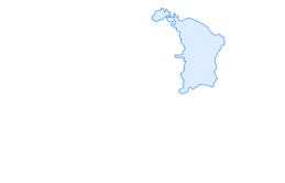

Amden, the Silence No. 472
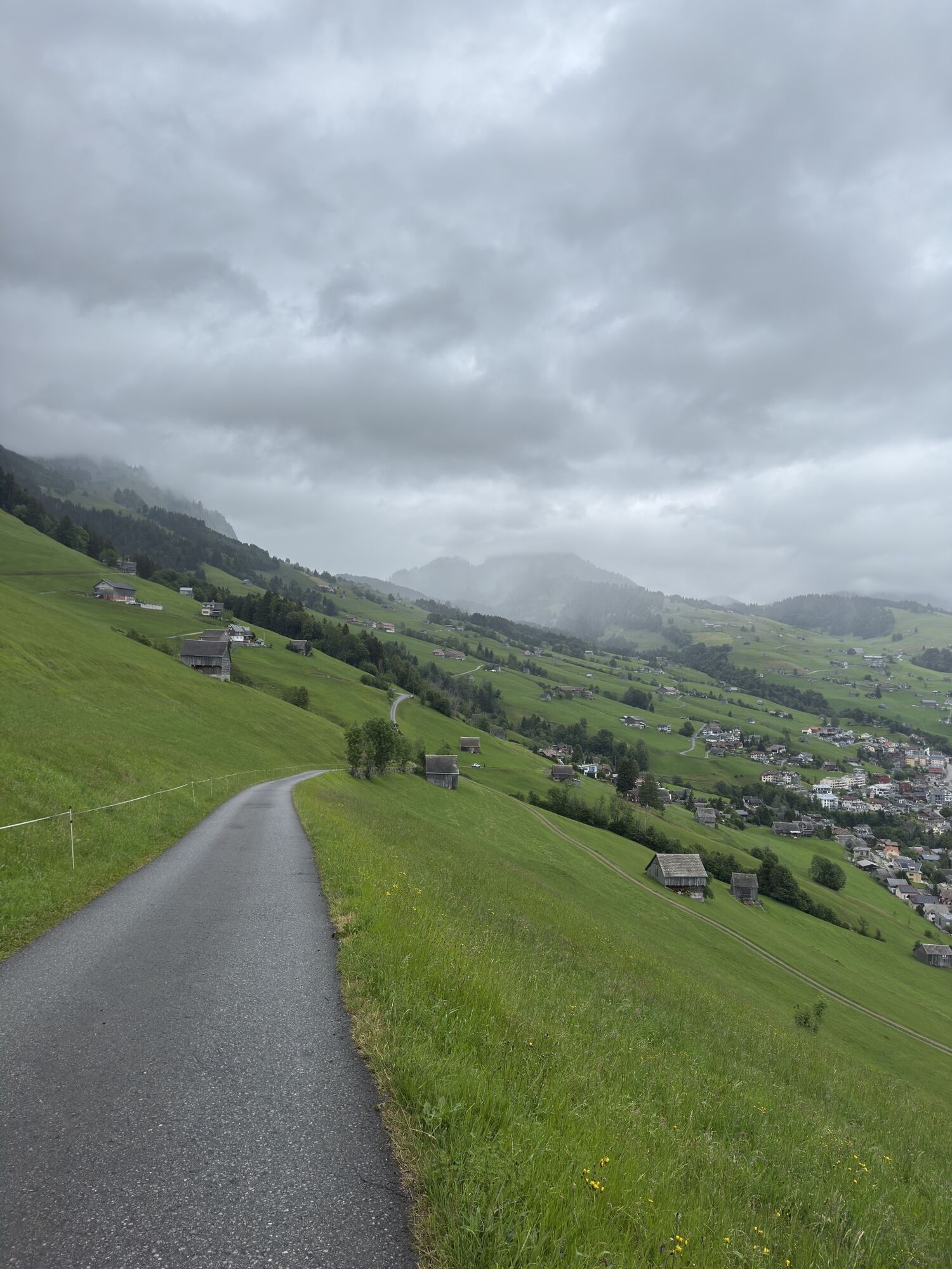
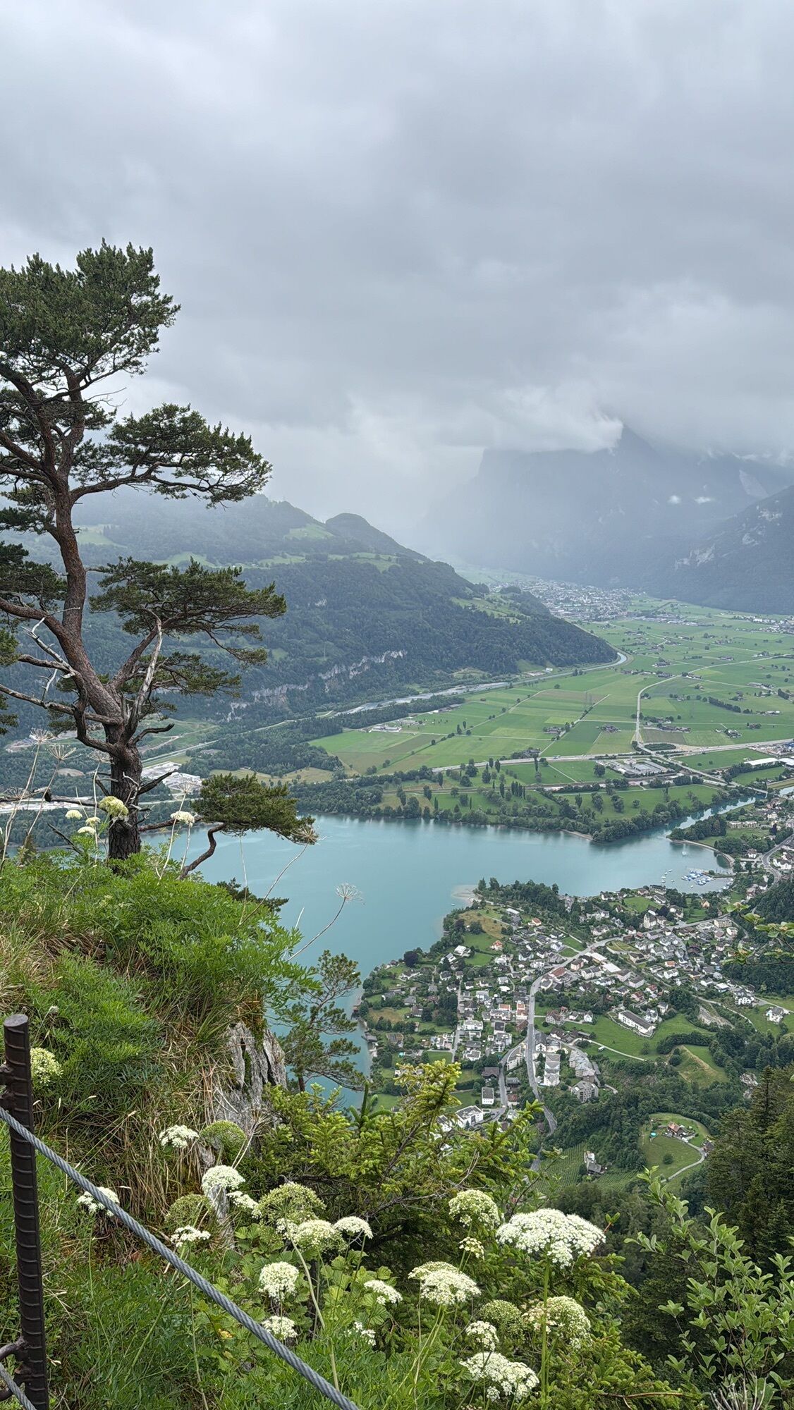
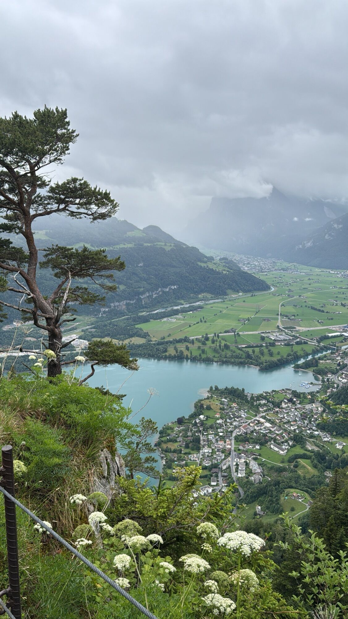
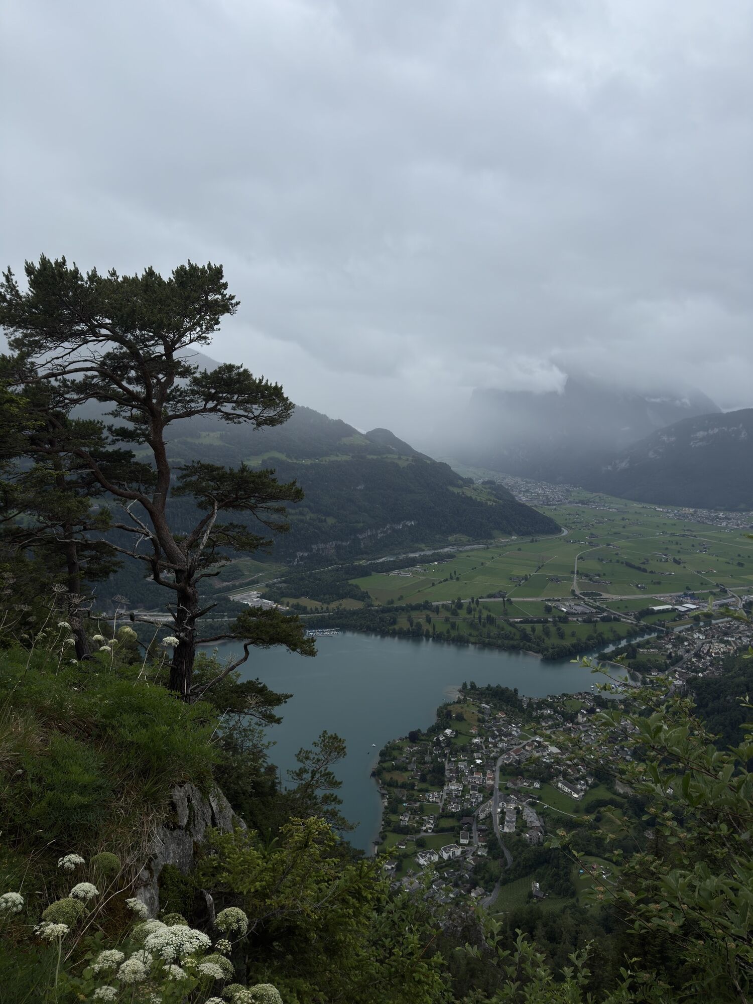
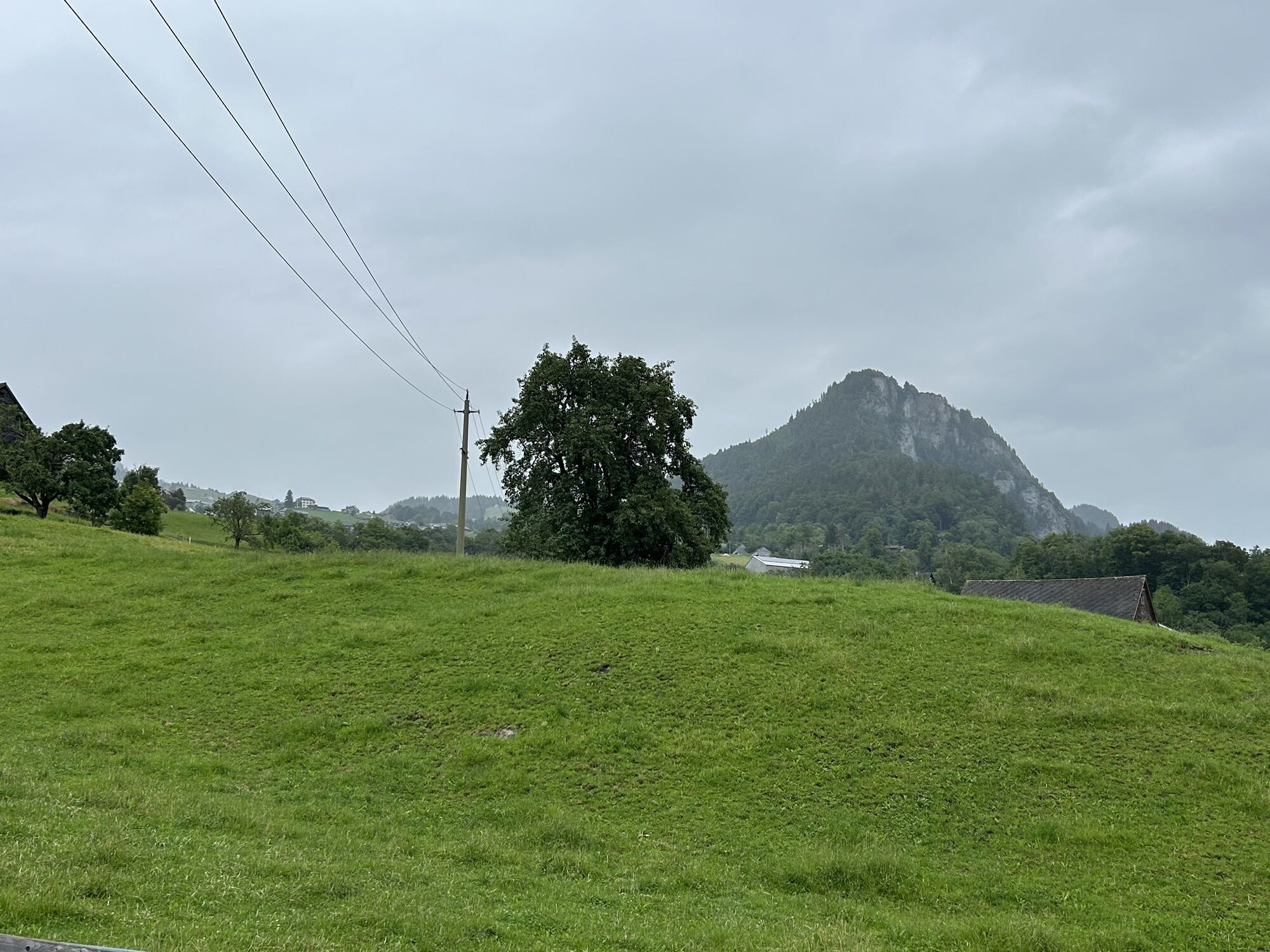
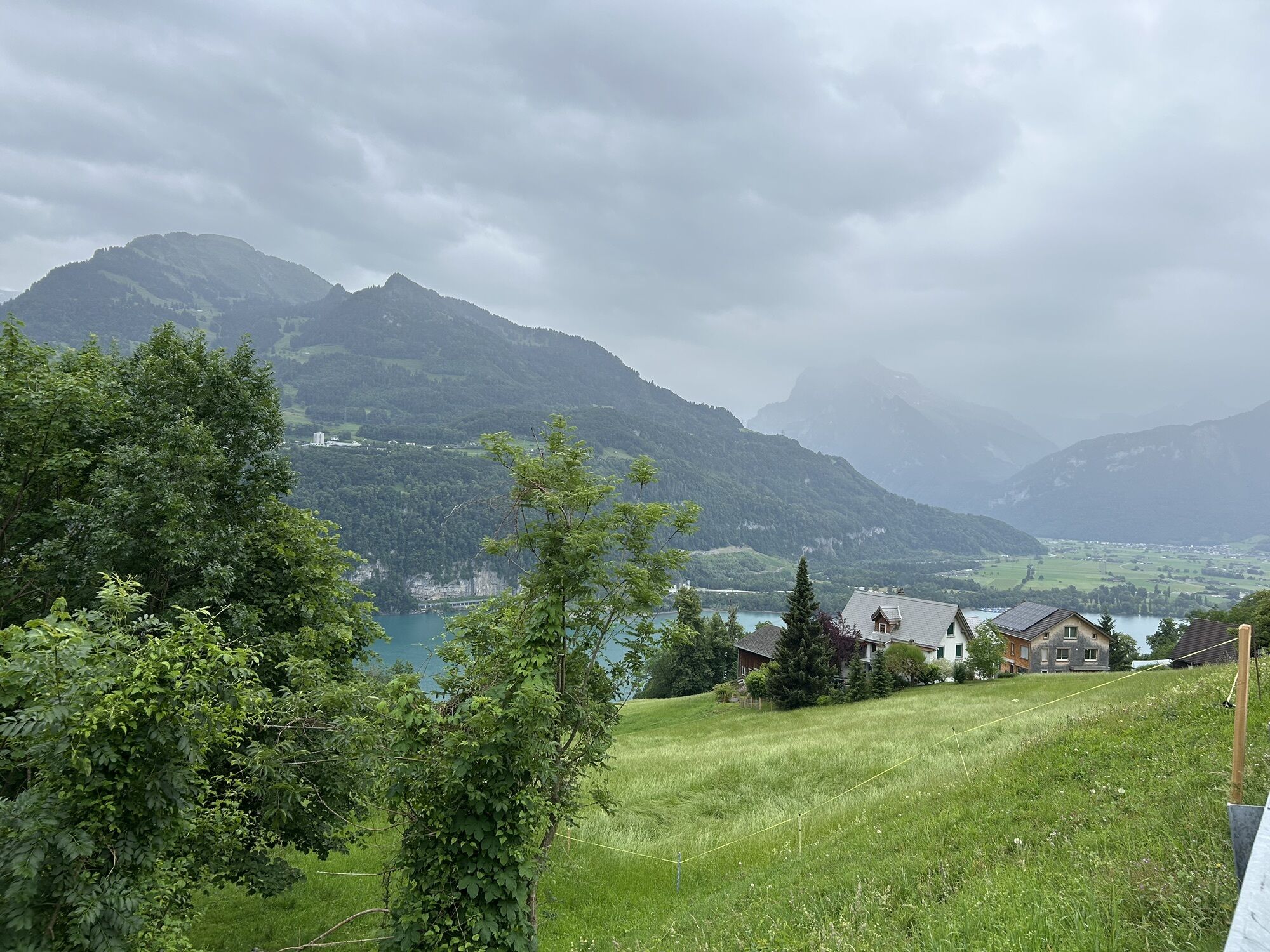
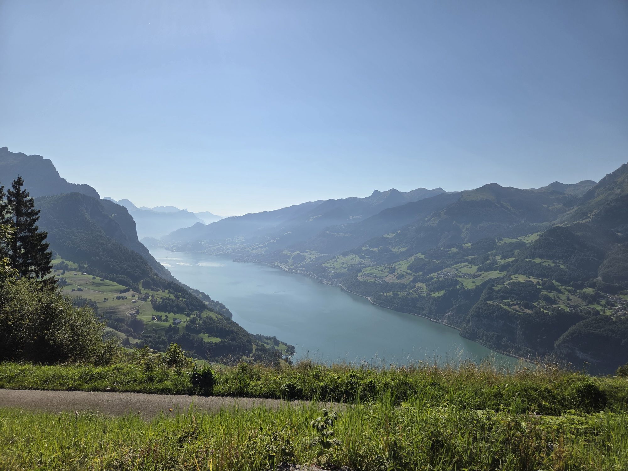
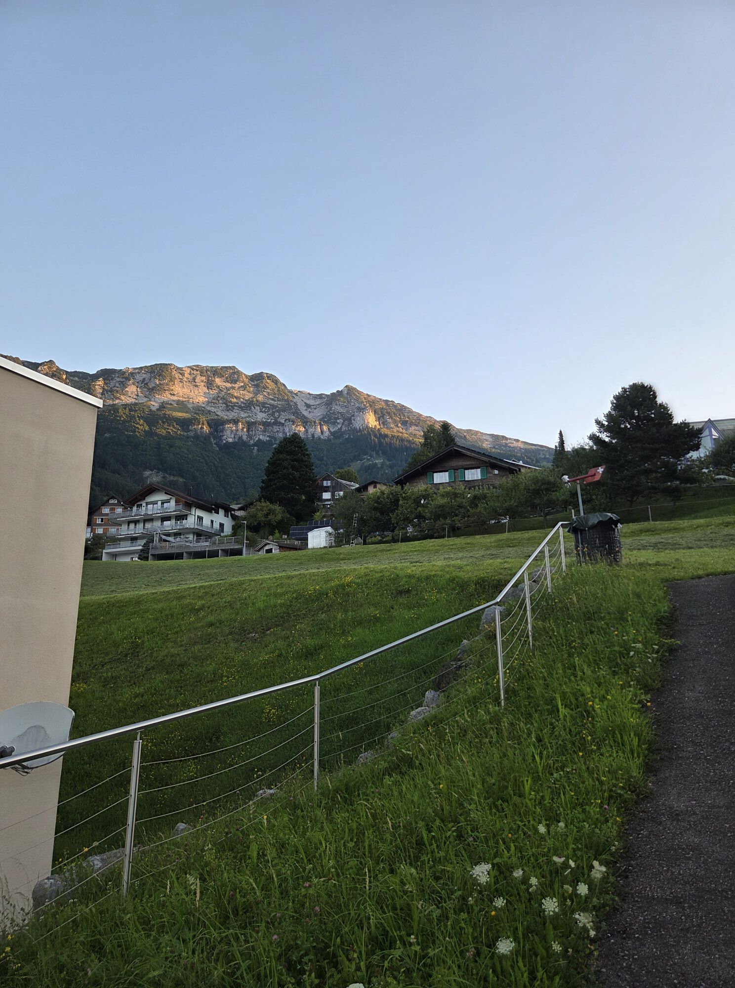
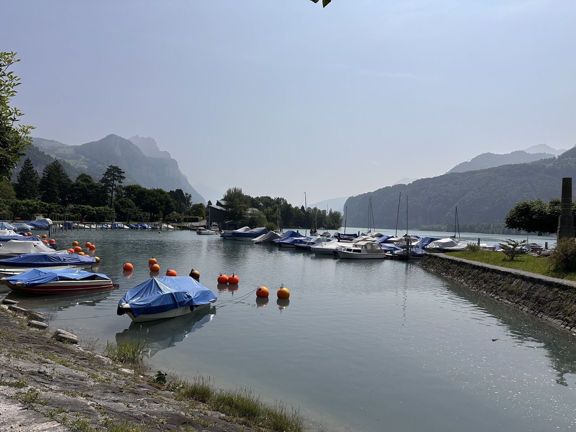

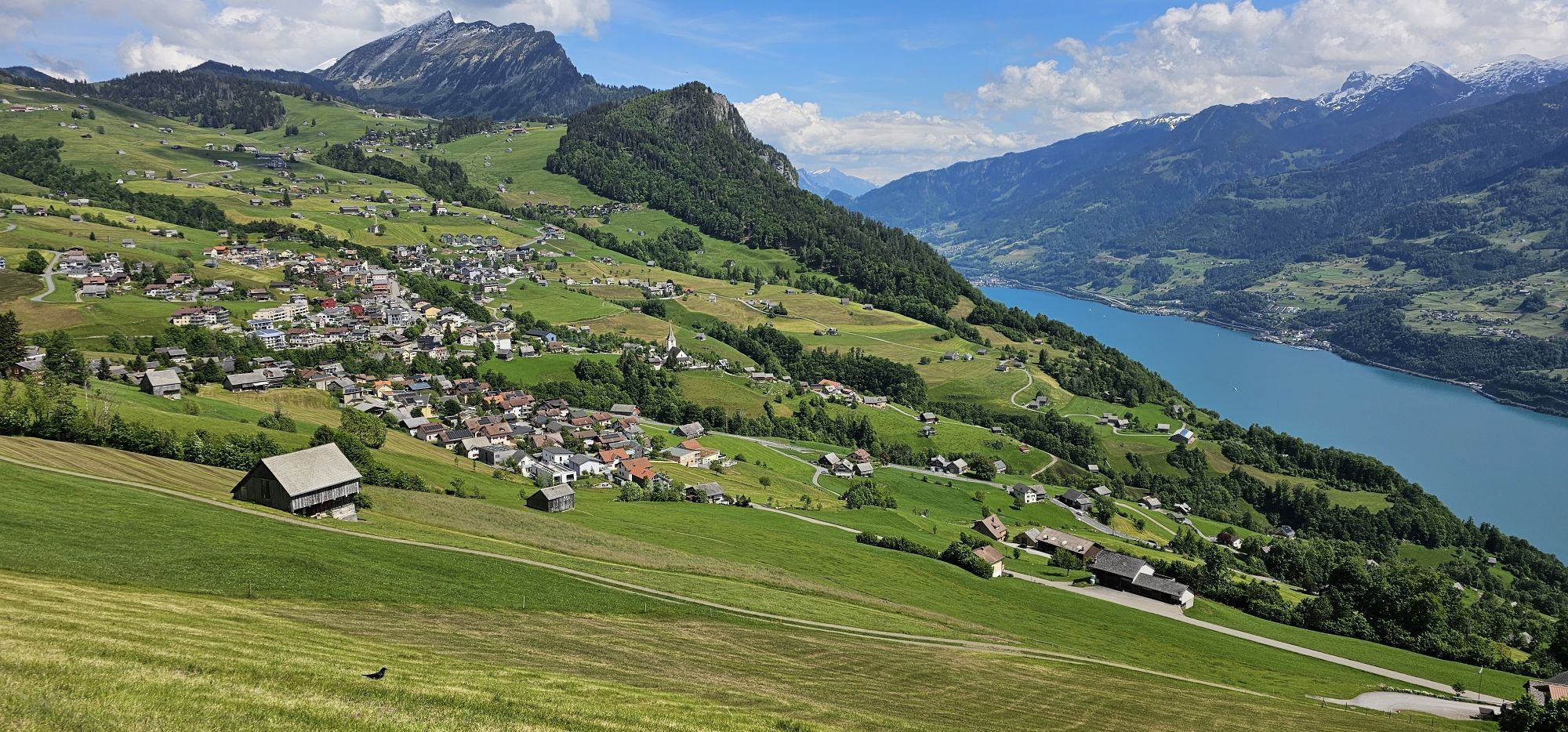
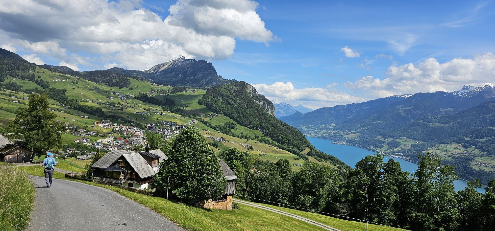
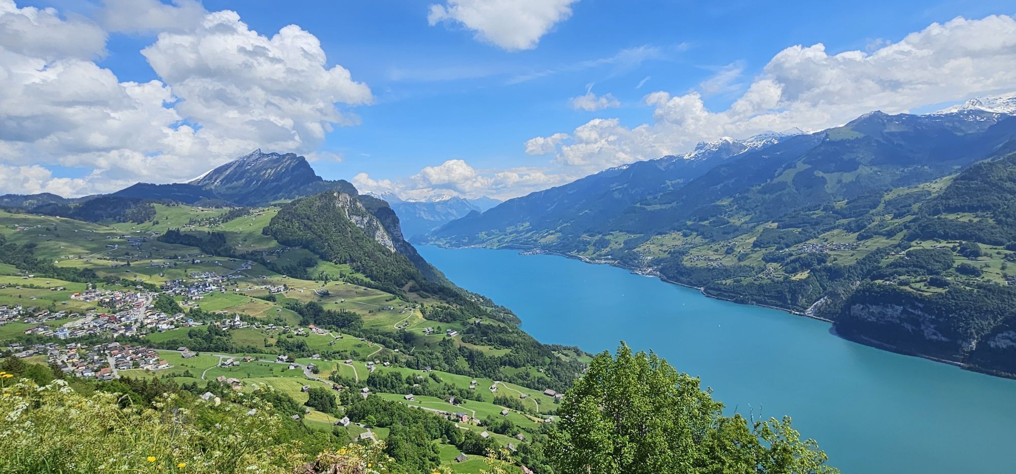
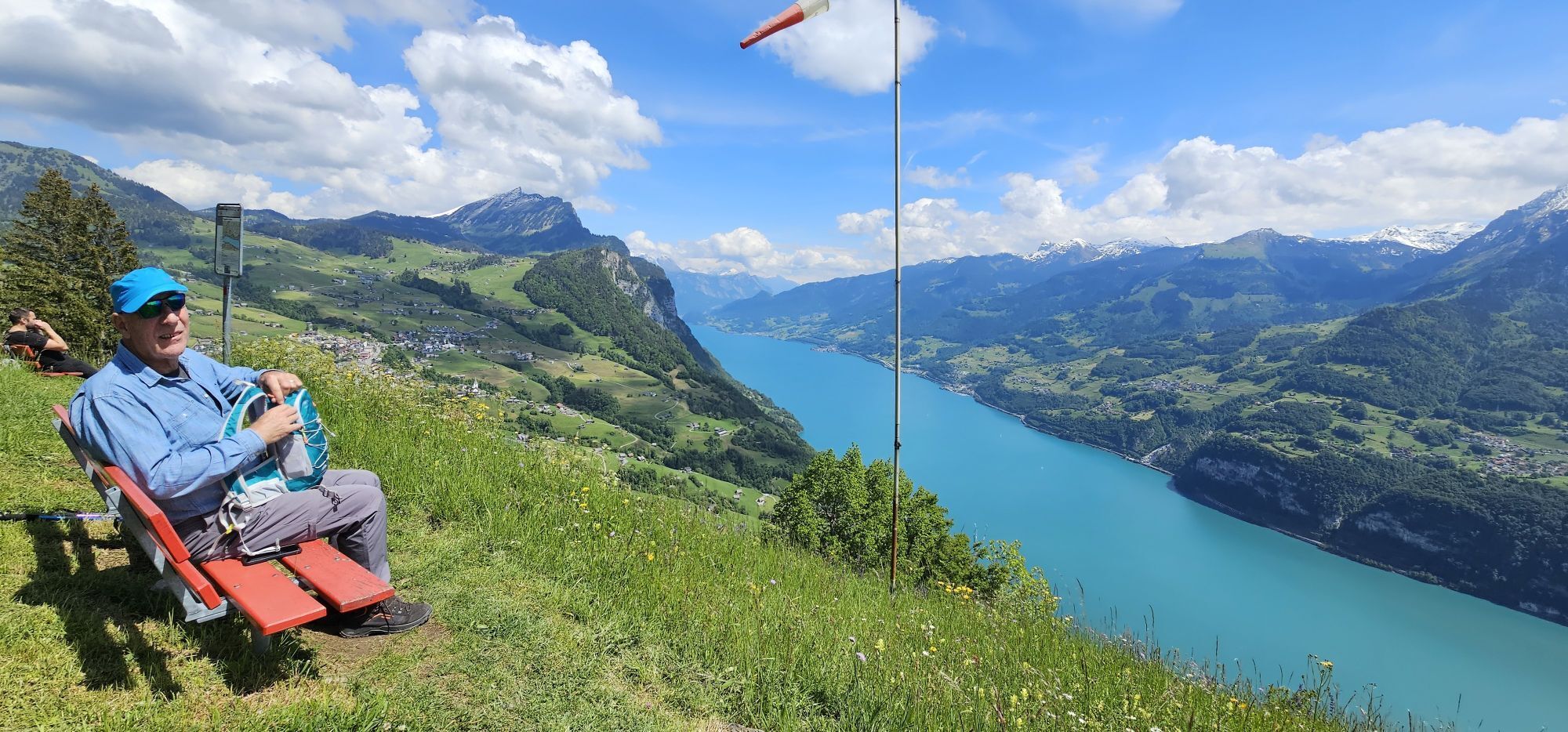
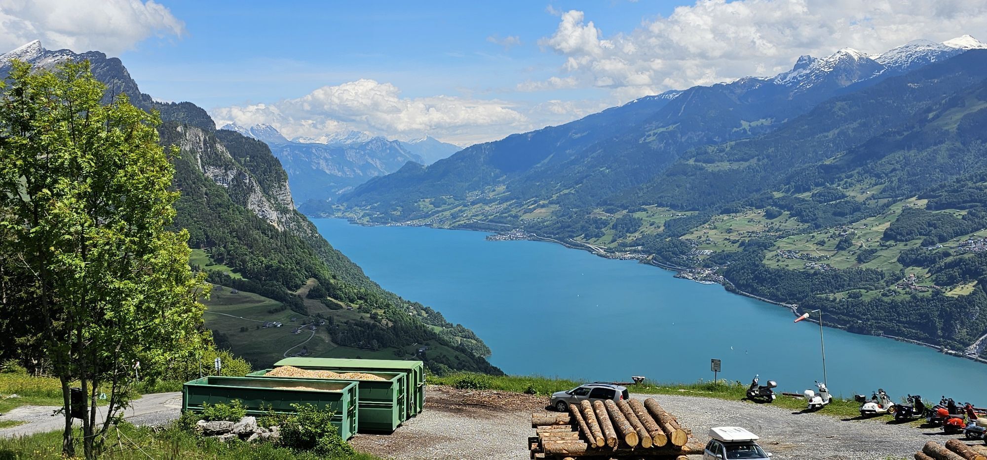
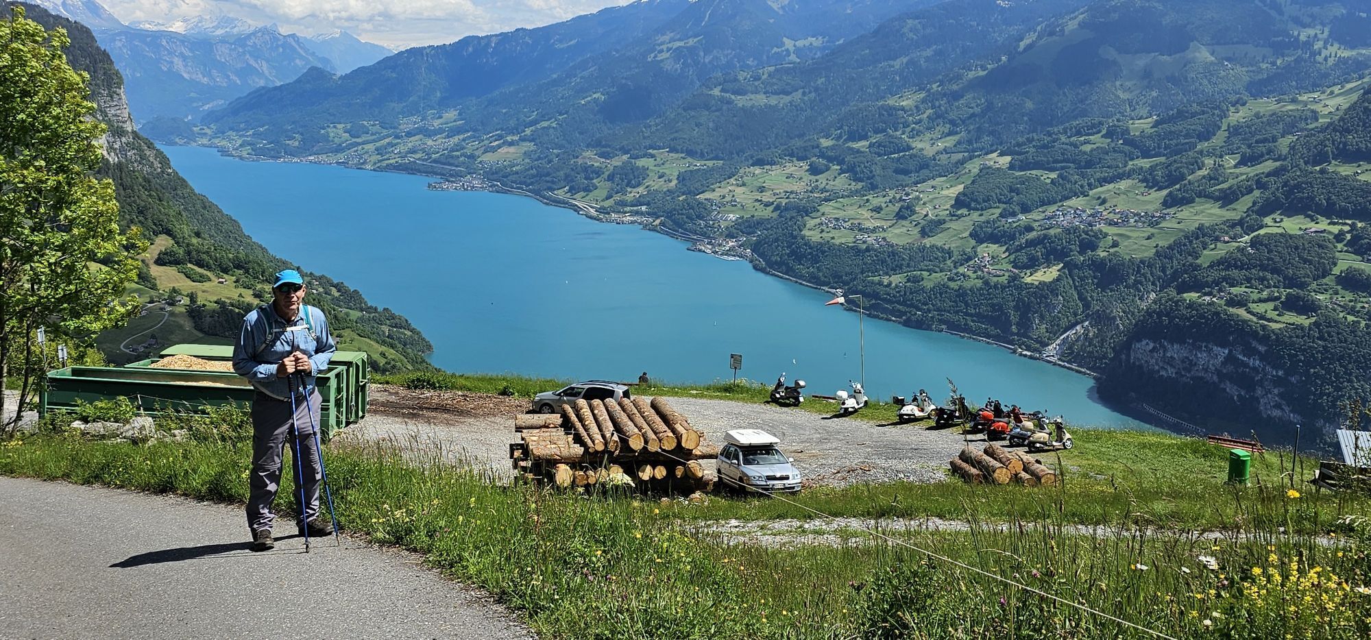
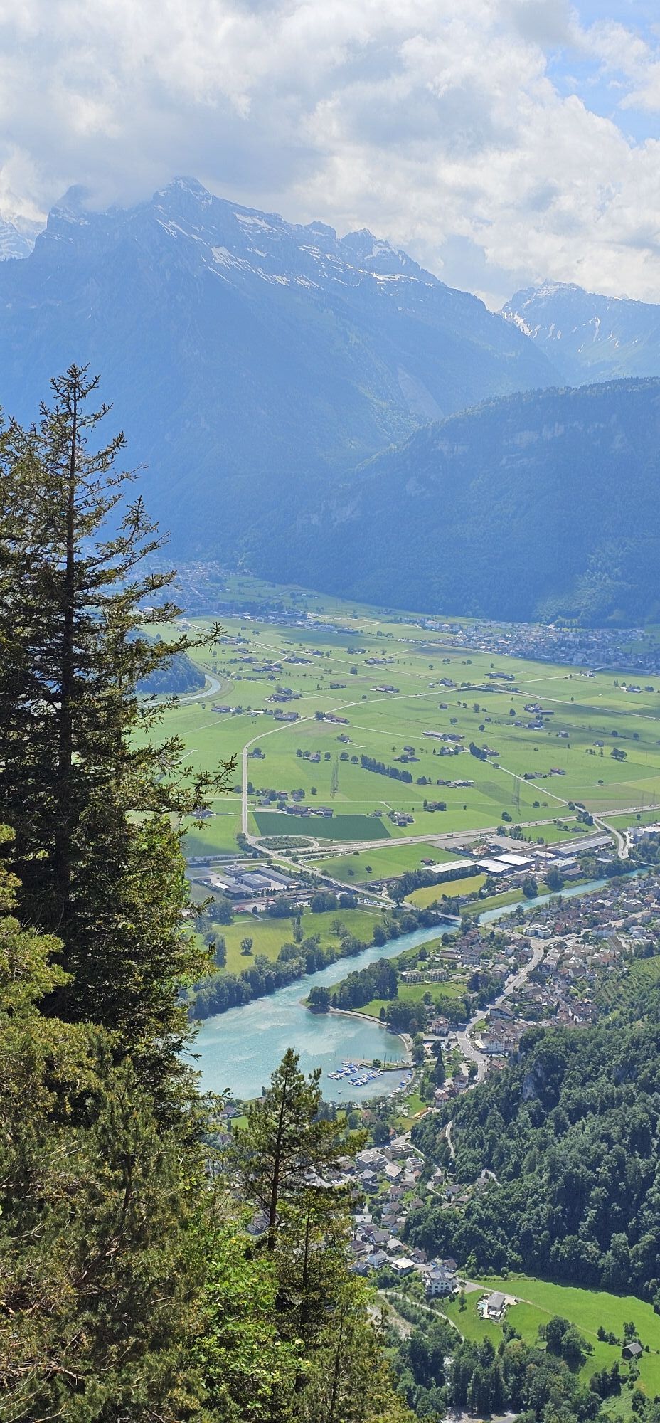
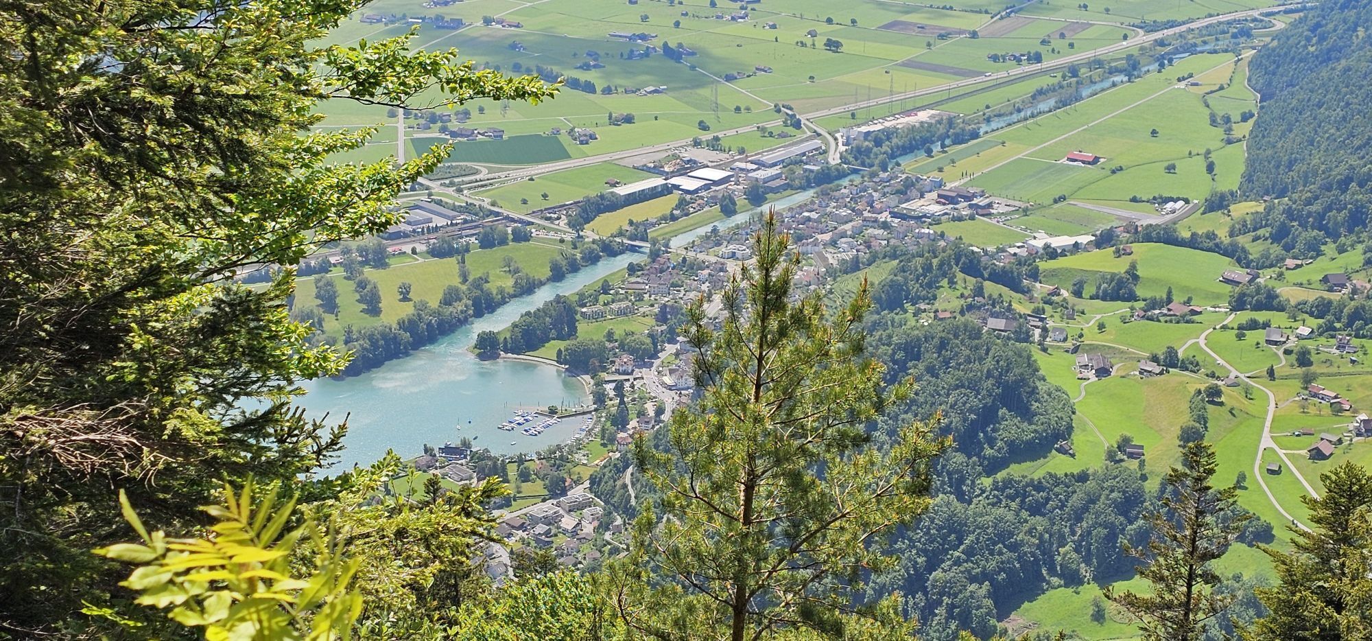

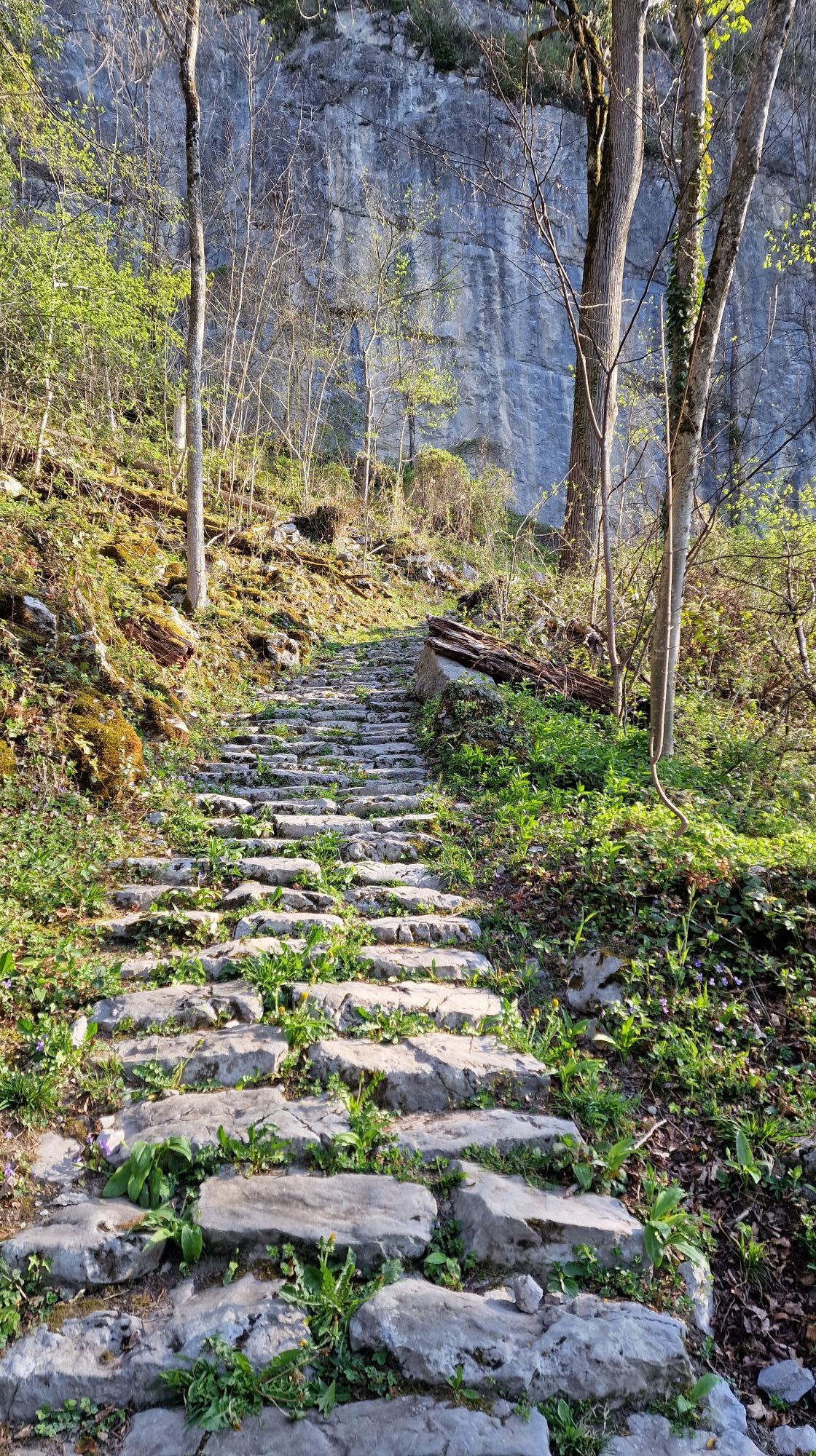
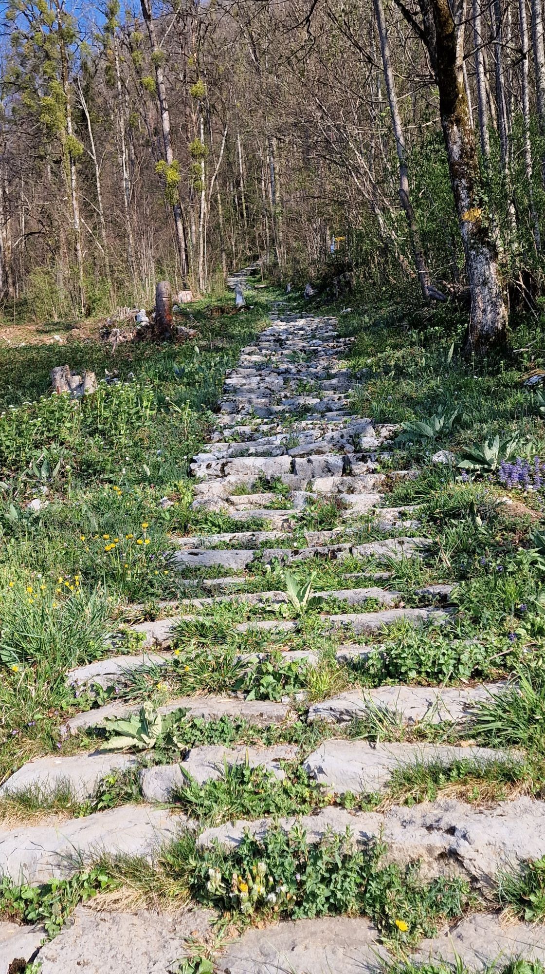
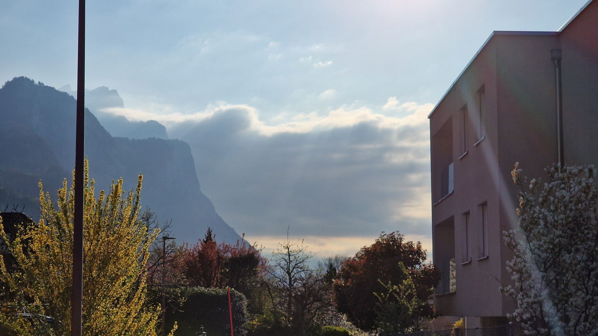
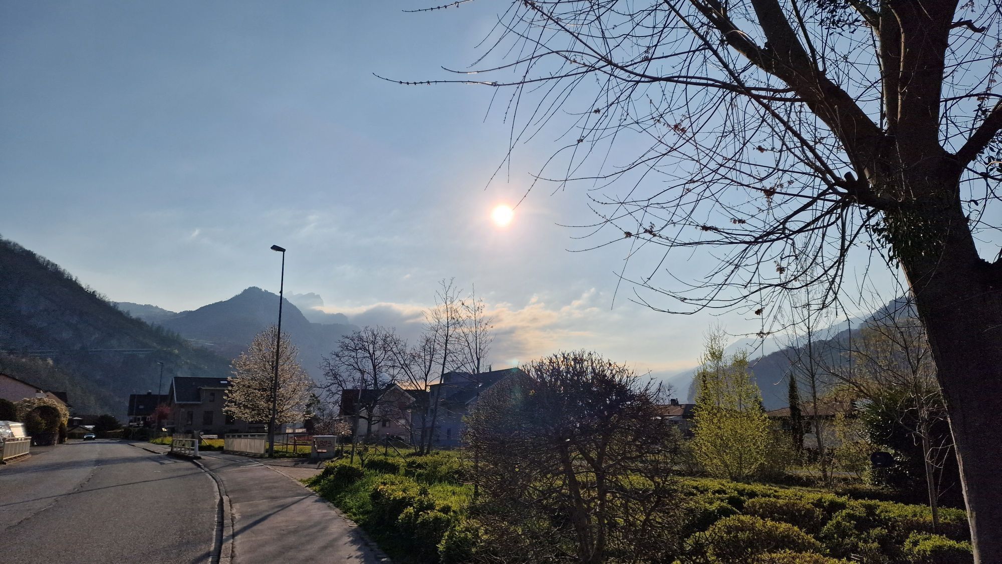
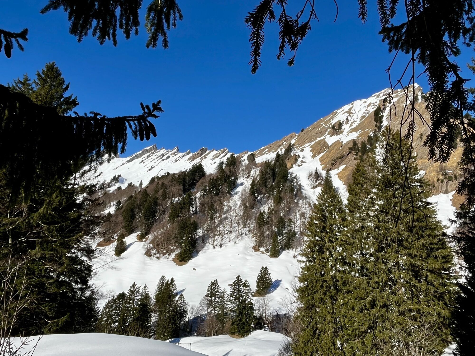
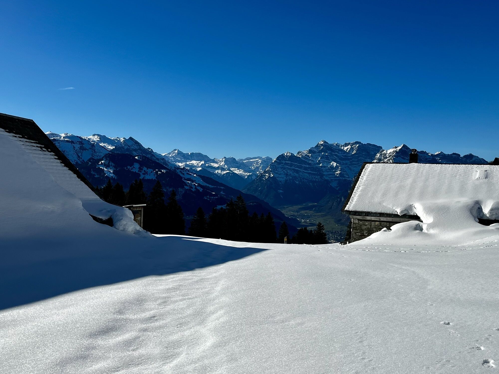
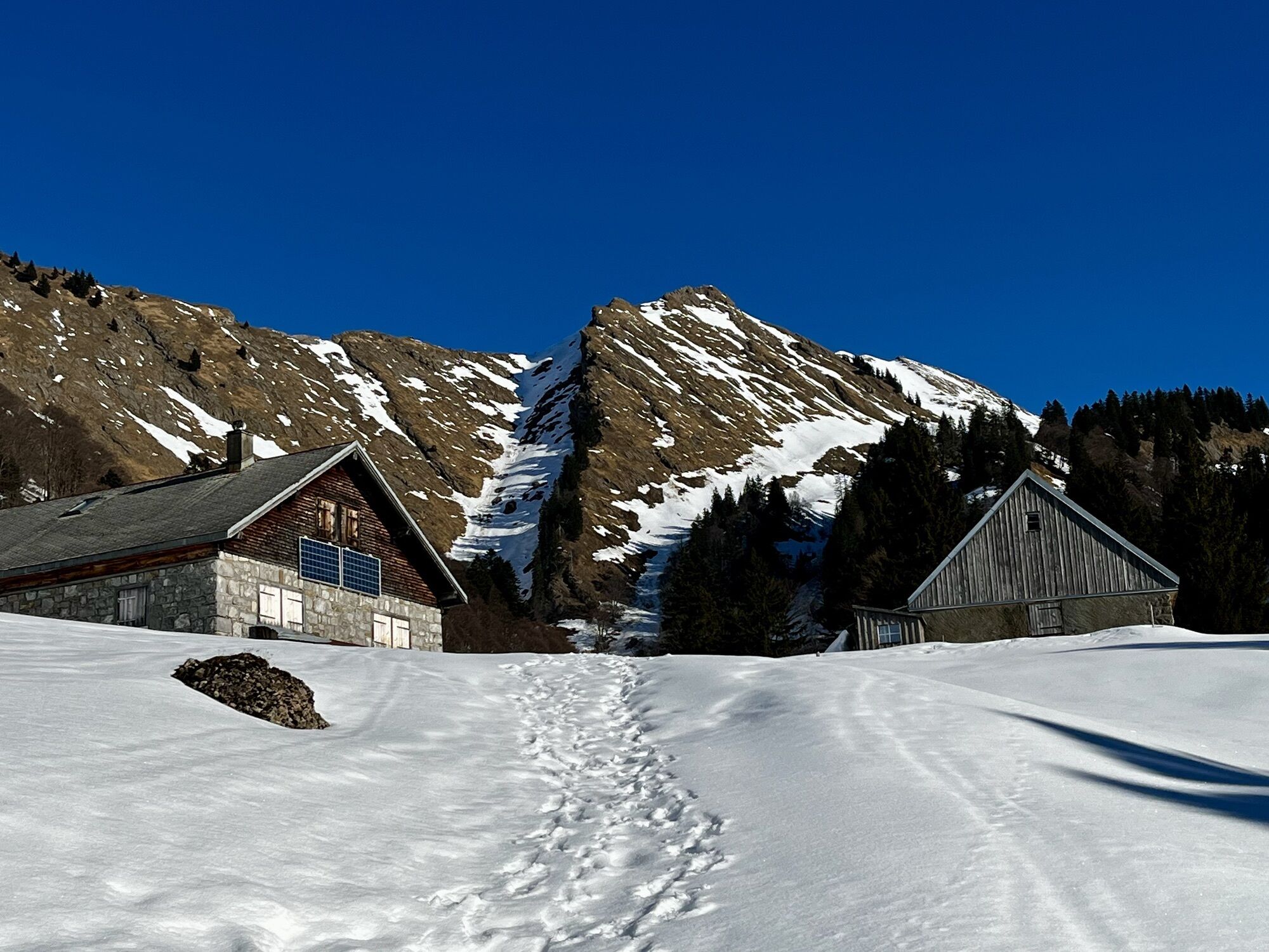
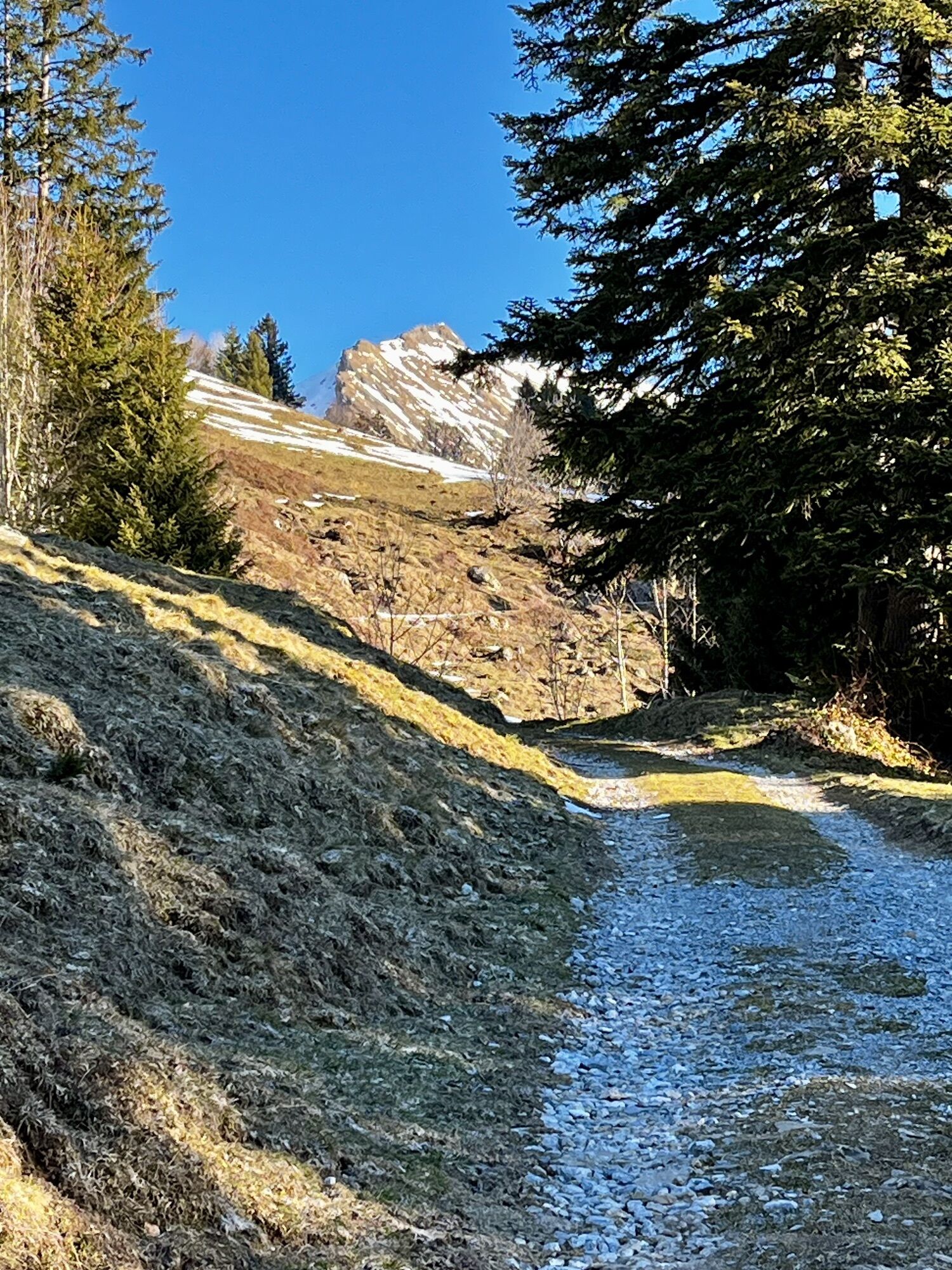
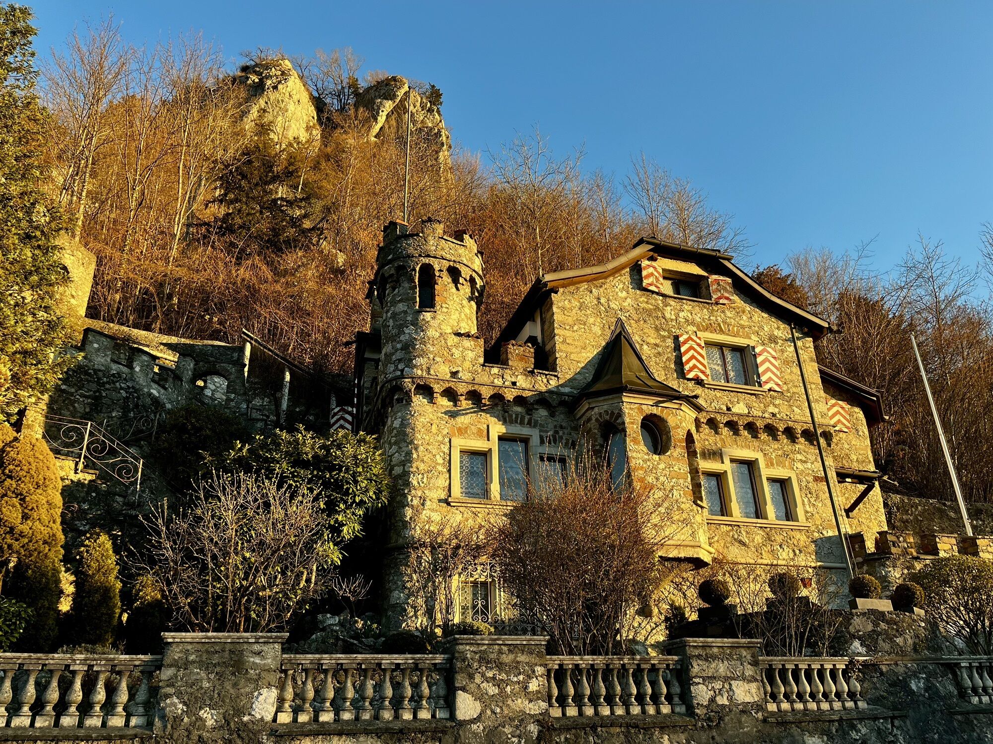
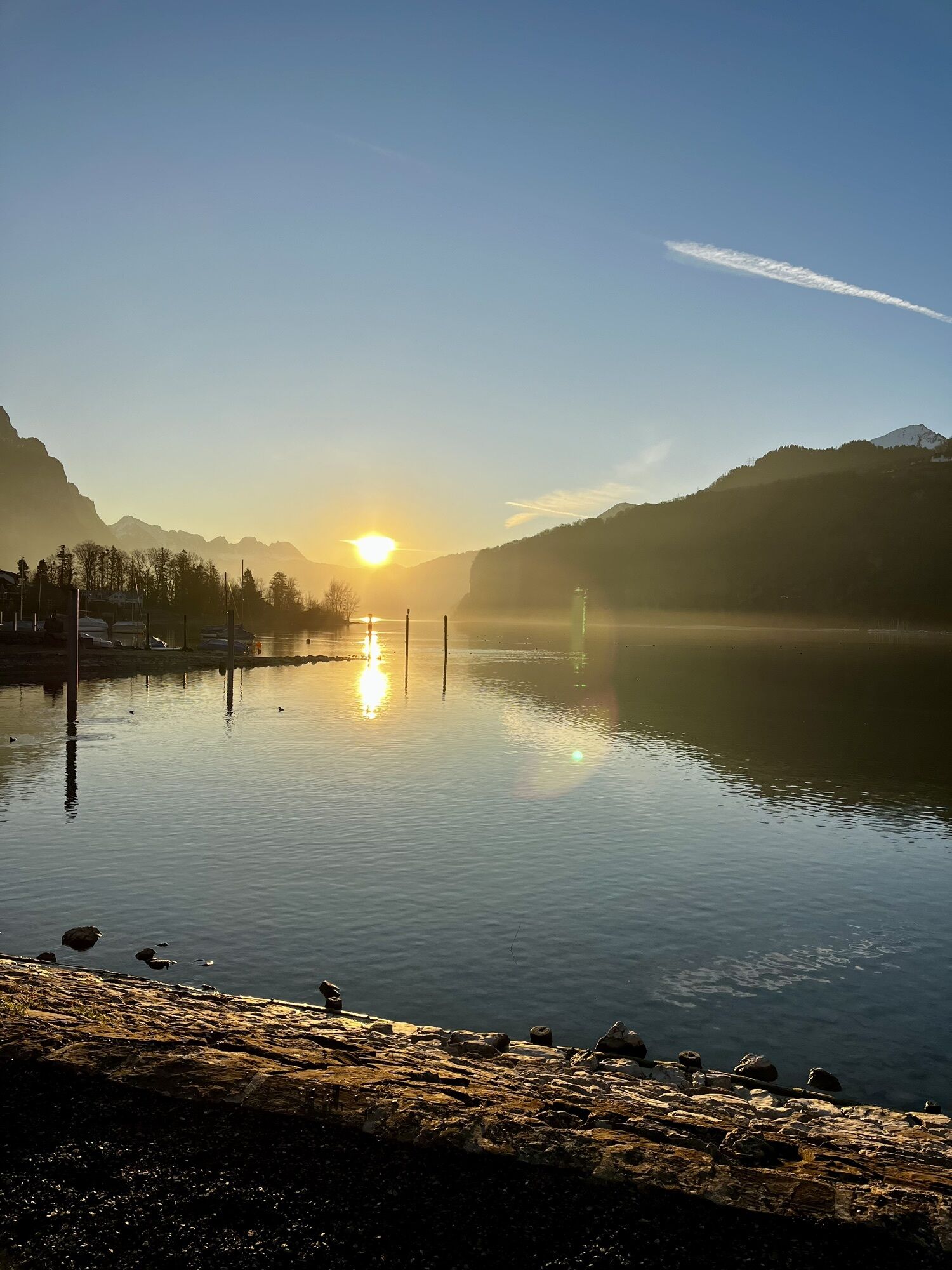
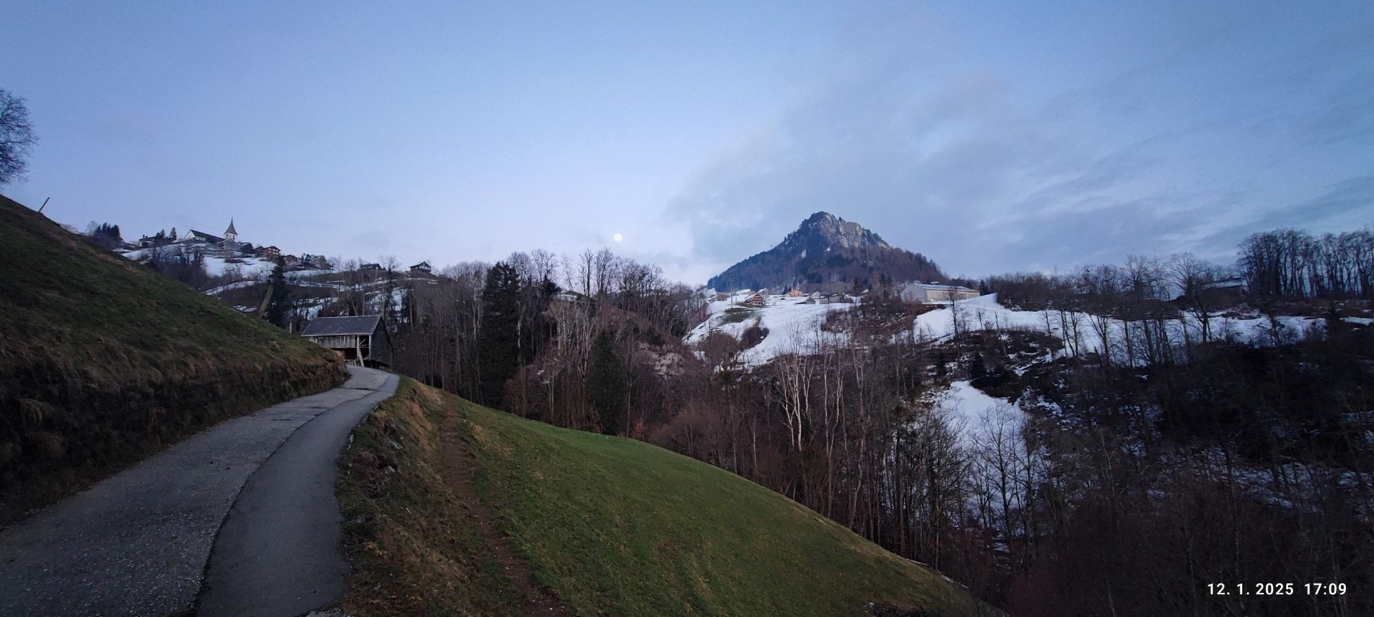
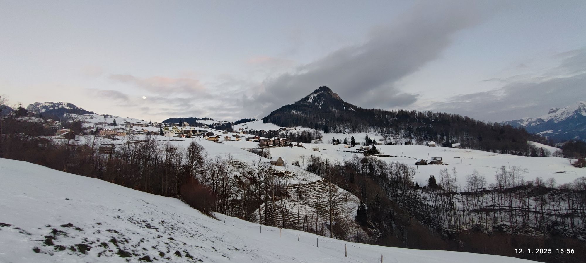
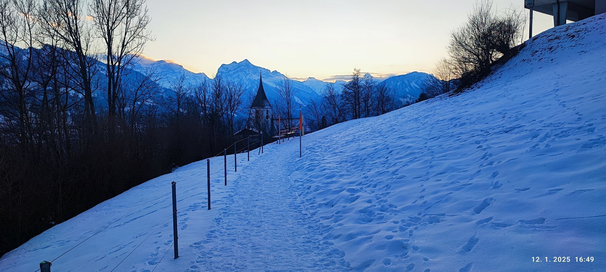
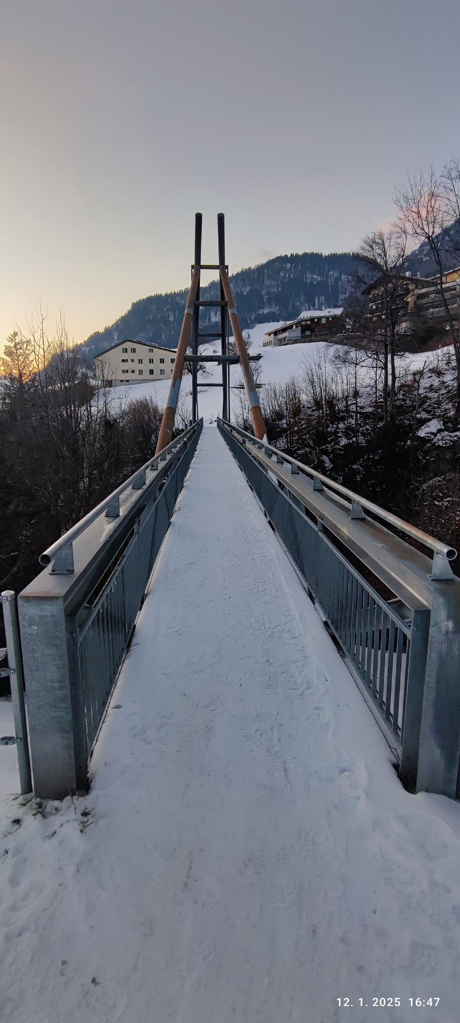
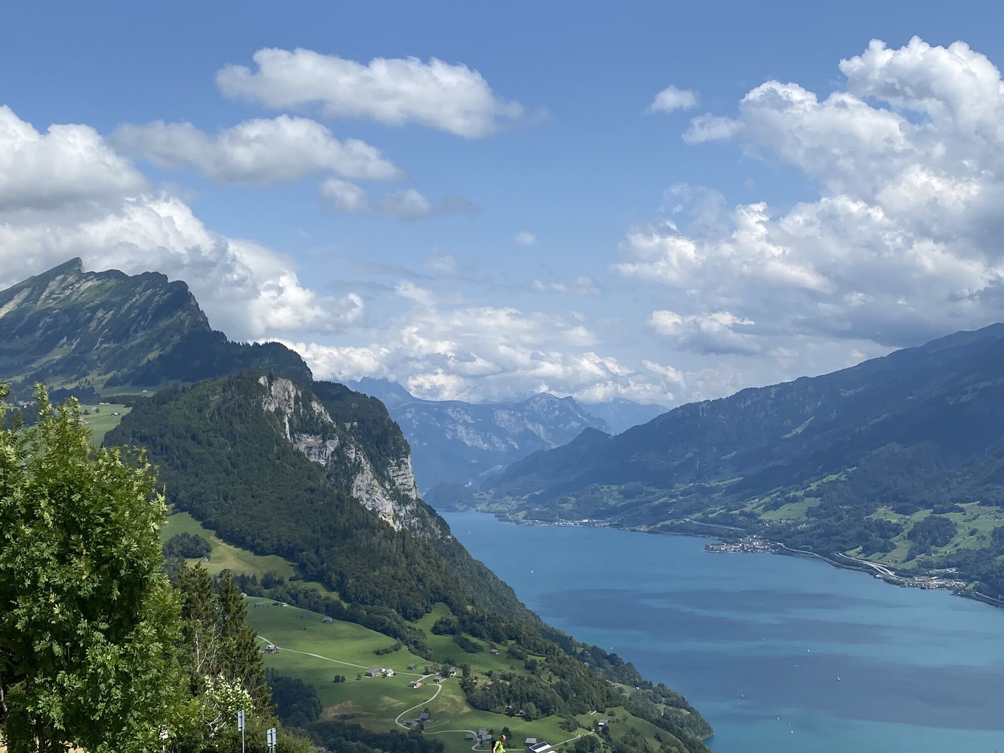
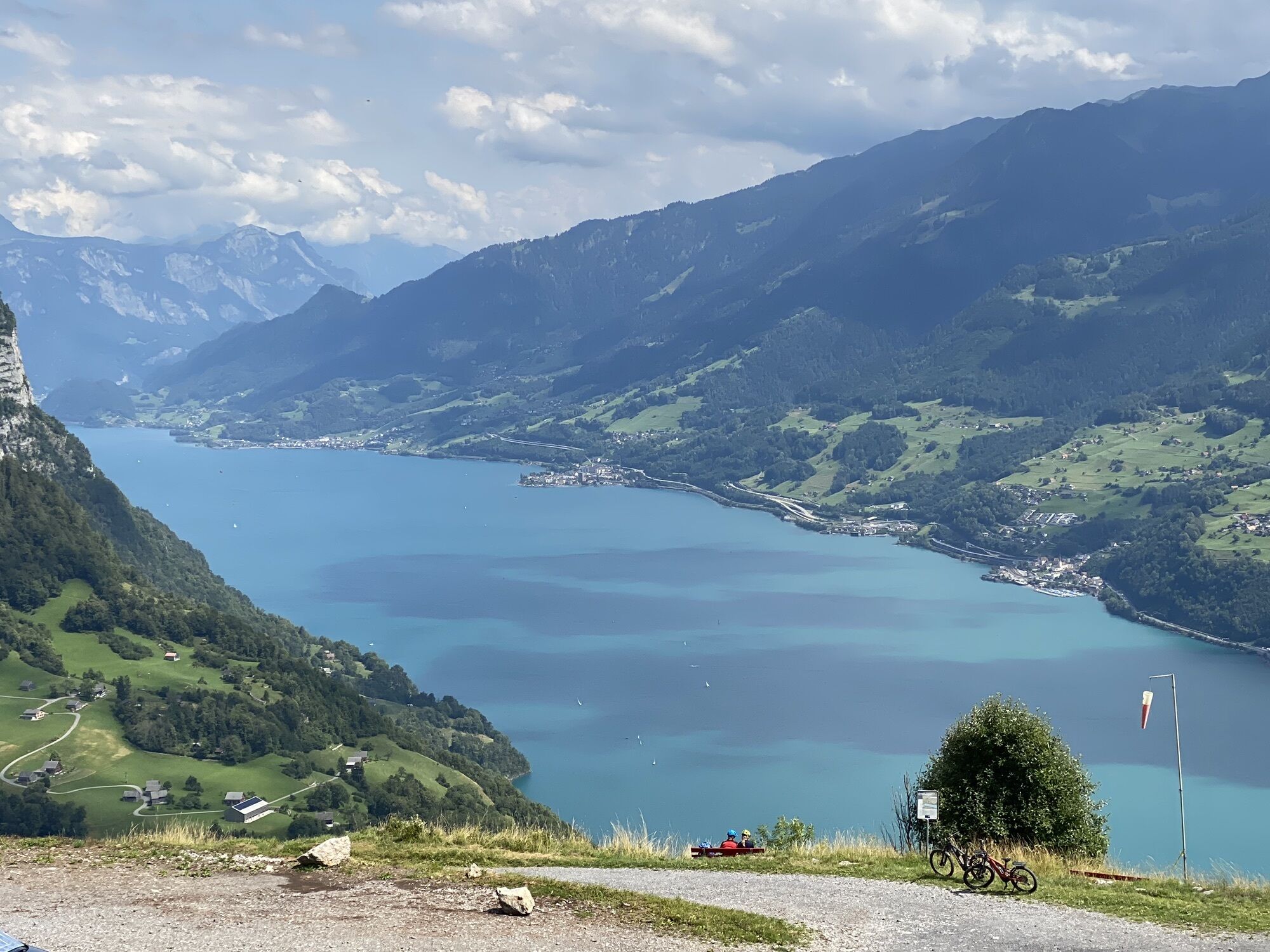
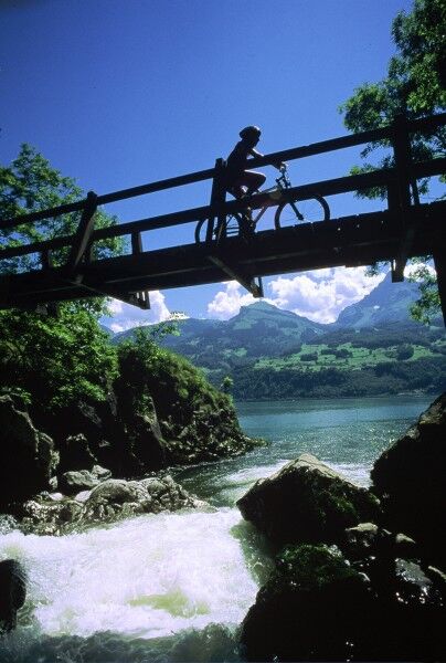
During the steady and long-lasting climb to the highest point, there are moments when we can rest and enjoy the magnificent view of the entire Glarus region and the majestic Lake Walen lying below us....
During the steady and long-lasting climb to the highest point, there are moments when we can rest and enjoy the magnificent view of the entire Glarus region and the majestic Lake Walen lying below us. The brisk descent is pure enjoyment. If this route is ridden clockwise, we spend almost the entire time in car-free, absolute silence.



Weesen - Höf - Matt - Bütz - Durschlegi - Amden - Fly - Weesen
Tak
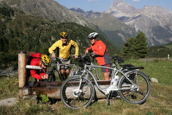
Normal bike equipment. Functional clothing is an advantage as ascents and descents alternate.
Take the motorway exit Weesen/Amden. Follow Bahnhofstrasse and Hauptstrasse to Hotel Schwert.
Arrival by train to Ziegelbrücke and post bus to Weesen
Daily to Ziegelbrücke, then continue with bus 650 towards Amden, Vorderdorf until the stop Weesen, See.
Public parking spaces are available at Hotel Schwert (paid).
Heidiland Tourism, Flumserberg information office
T +41 81 720 18 18
www.heidiland.com
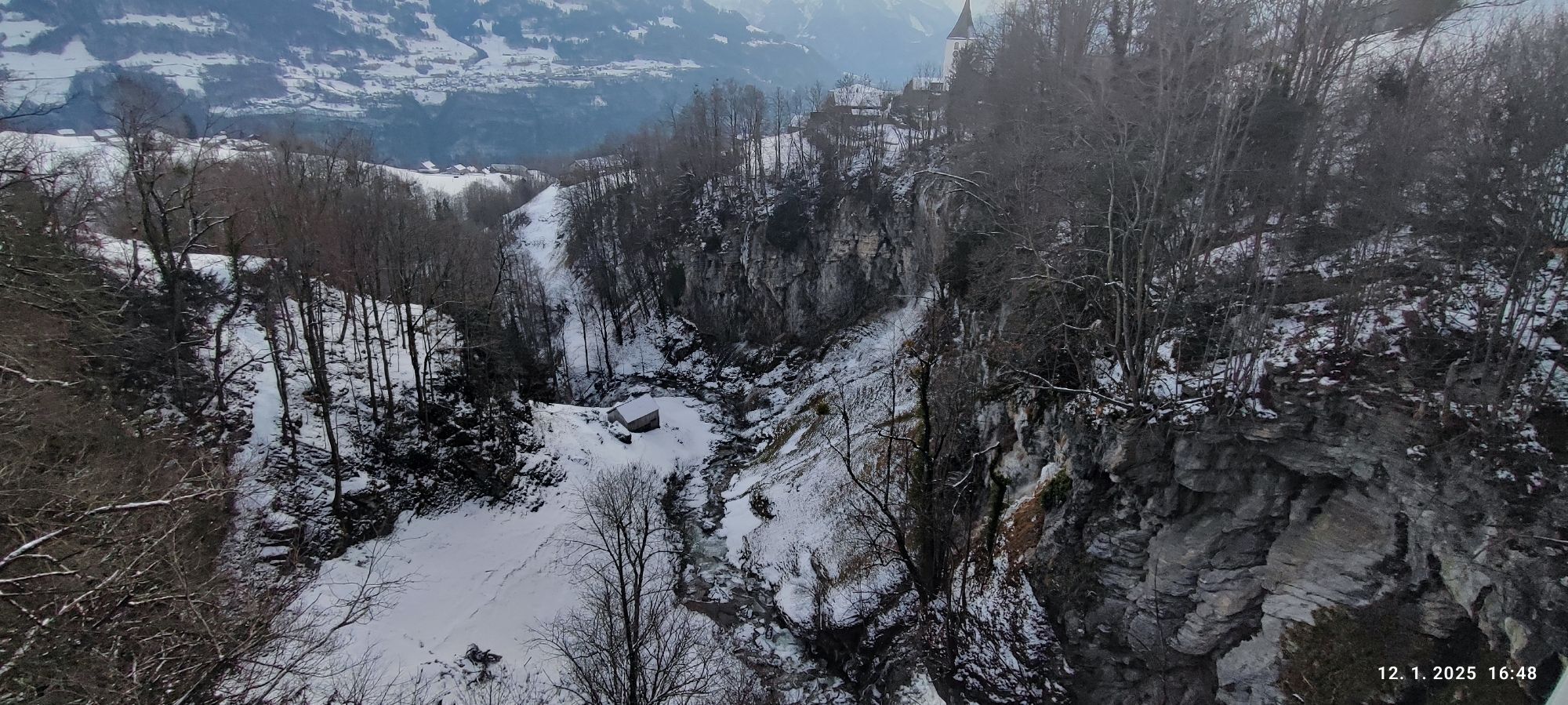
The Seerenbach Falls form a cascade of three waterfalls with a total height of 585 m and are thus among the largest waterfalls in Switzerland.

Kamery internetowe z trasy
Uzyskaj wgląd
Zawsze na żywo z ponad 9 500 kamer internetowych. bergfex Jako użytkownik Pro, możesz teraz zobaczyć odpowiednie kamery internetowe dla wielu wycieczek w aplikacji wycieczki od. Pozwala to na bezpośredni podgląd aktualnych warunków.

Popularne wycieczki w okolicy
-
4,8
Walensee Riviera Weesen - Quinten
średniWędrówka 10,2 km -
4,7
Riviera Lake Walen Walenstadt-Quinten
średniWędrówka 10,4 km -
4,6
Weesen - Quinten - Walenstadt
ciężkiWędrówka 20,6 km -
4,5
7-Peak Tour Flumserberg
ciężkiWędrówka 15,0 km -
5,0
Schrina Alp and Cultural Trail
średniTrasa tematyczna 11,5 km -
4,5
4-Summit-Route Flumserberg
średniWędrówka 8,65 km -
4,9
Fronalpstock GL
średniWędrówka 7,84 km -
4,7
Amden - Speer (Rundkurs)
światłoWędrówka 17,6 km -
4,9
Quarten - Murgseehütte - Berggasthaus Murgsee - Glarus Nord
średniWędrówka 14,7 km -
4,7
Quinten-Trail 453
średniBieganie 8,97 km
Wędrówki i tropienie


Nie przegap ofert i inspiracji na następne wakacje
Twój adres e-mail została dodana do listy mailingowej.





