


Schwammkopf Trail 461
Poziom trudności: 2

The Outdoor Fitness Trails in the Heidiland holiday region include over 30 uniformly signposted running routes from a total of 10 stations, thus forming one of the largest outdoor fitness parks in the...
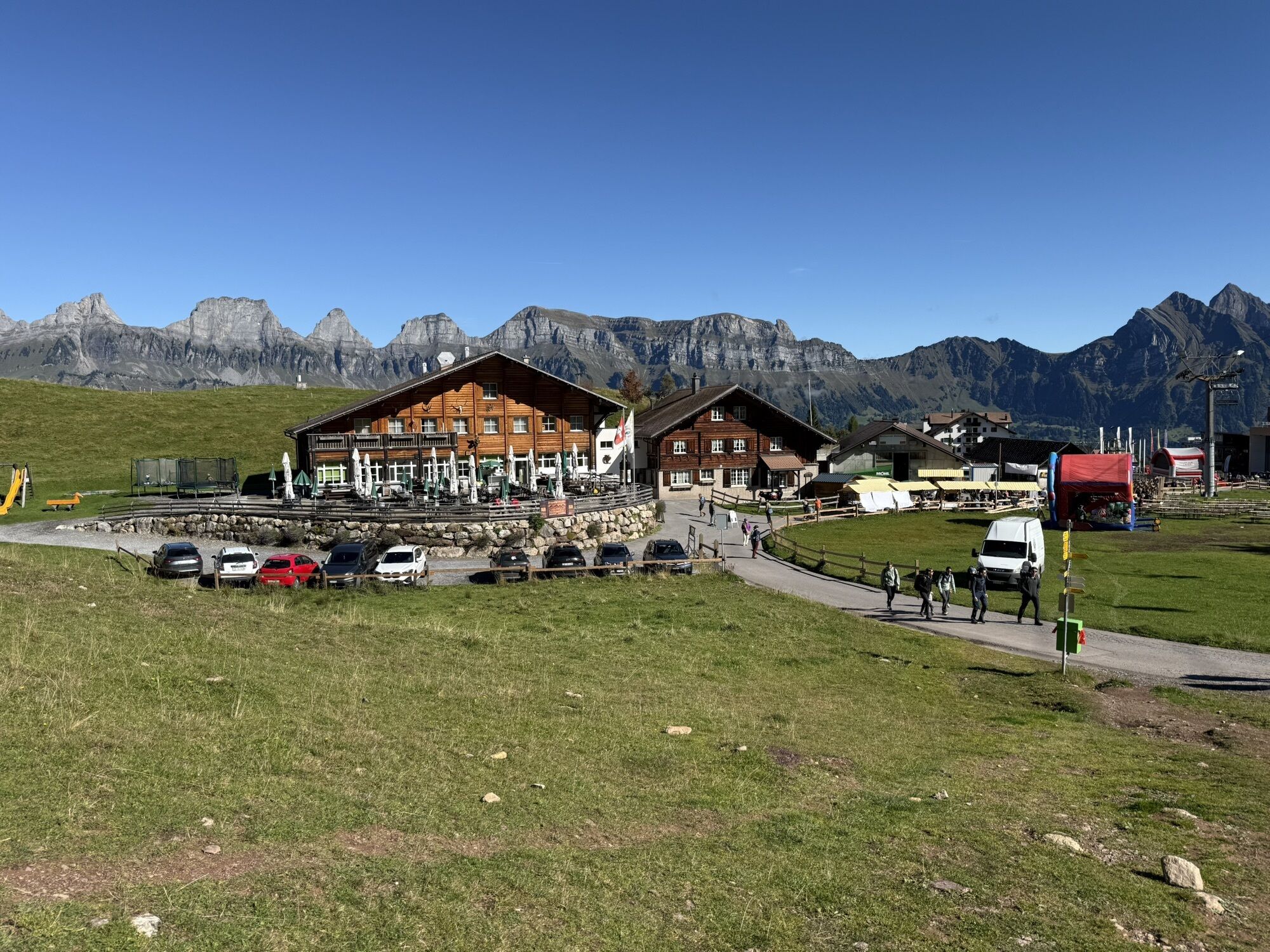
The Outdoor Fitness Trails in the Heidiland holiday region include over 30 uniformly signposted running routes from a total of 10 stations, thus forming one of the largest outdoor fitness parks in the Alpine region. The Schwammkopf Trail is one of five running routes around the Flumserberg station.
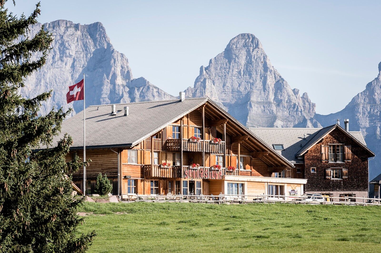
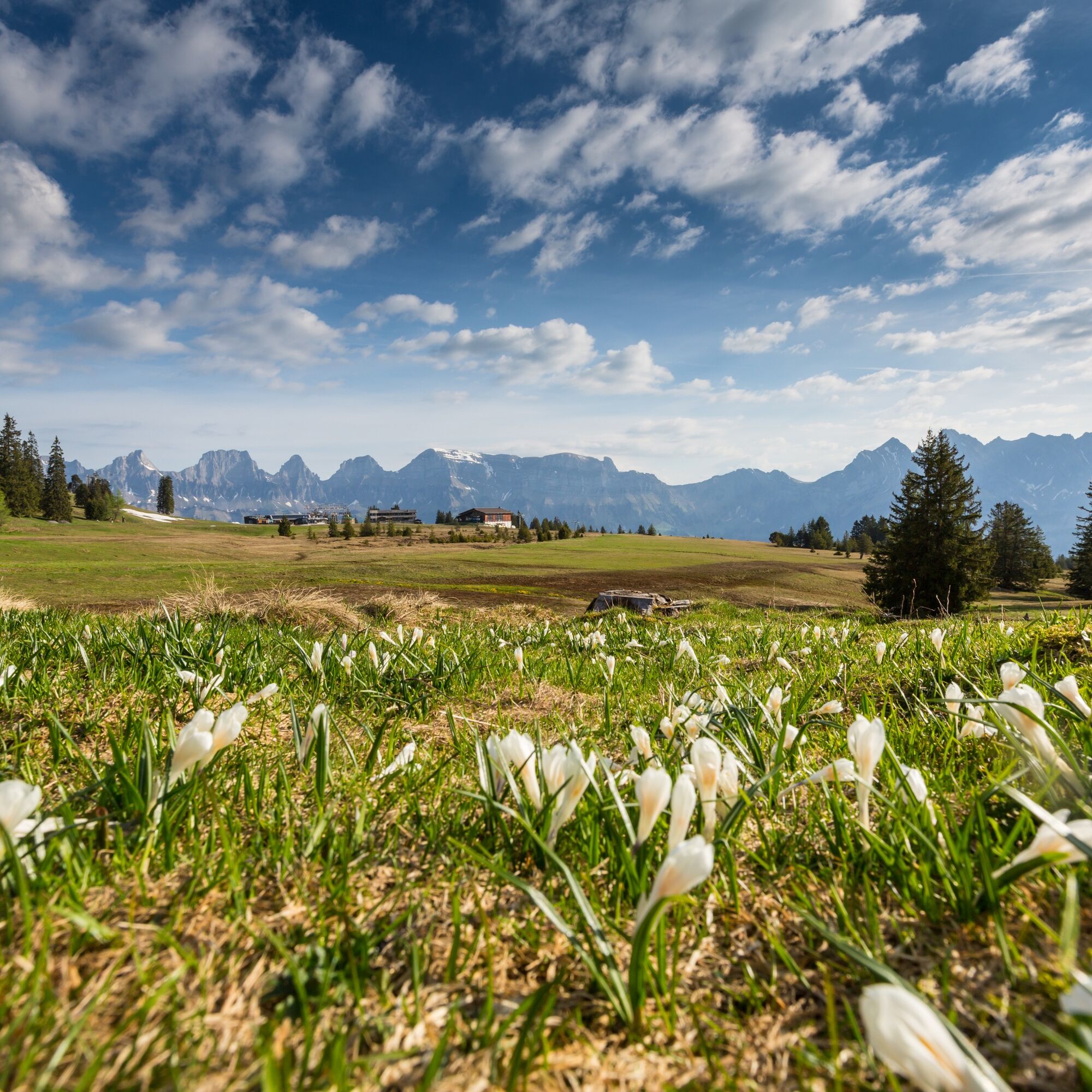
The starting point for this 3 km long trail is the Infopoint of the Flumserberg station at the Molseralp restaurant above the valley station to Maschgenkamm (1391 m above sea level). From there, the trail leads along a well-developed alpine road to a covered grilling station at Schwammchopf. The next section across the beautiful moorland on the Madils plateau is flat and leads to Tannenbodenalp (1399). From the plateau, there is a splendid view of the Churfirsten. Then a paved road leads back to Tannenboden village and the starting point Molseralp.

Molseralp - Schwammchopf - Madils plateau - Tannenboden - Molseralp
Normal jogging gear, sturdy and comfortable footwear.
Depending on weather conditions, some sections can be very slippery.
Exit Flums motorway, then drive on the main road through Flums towards Flumserberg and on the mountain road to Tannenboden.
By train to Flums, then by post bus to Flumserberg.
Public parking spaces are available at Tannenboden.
The parking spaces are chargeable from 07:00 to 17:00. From 17:00 to 02:00 the car may be parked free of charge.
From 02:00 to 07:00 there is a night parking ban. There are sufficient night parking spaces in the Tannenboden car park or at Tannenheim.
The night parking lot can be used for a fee, but camping is prohibited.
2
Heidiland Tourism, Flumserberg Information Office
T +41 81 720 18 18
www.heidiland.com
The Outdoor Fitness Trails mostly run on official hiking paths. For orientation along the way, the hiking trail signage also helps.
Popularne wycieczki w okolicy
- 4,8
Walensee Riviera Weesen - Quinten
średniWędrówka 10,2 km - 4,7
Riviera Lake Walen Walenstadt-Quinten
średniWędrówka 10,4 km - 4,6
Weesen - Quinten - Walenstadt
ciężkiWędrówka 20,6 km - 4,6
5-Seen Wanderung am Pizol
światłoWędrówka 10,1 km - 4,7
Alvier
średniWędrówka 3,33 km - 4,7
4-Summit-Route Flumserberg
średniWędrówka 8,65 km - 4,4
7-Peak Tour Flumserberg
ciężkiWędrówka 15,0 km - 4,6
Amden - Speer (Rundkurs)
światłoWędrówka 17,6 km - 5,0
Schrina Alp and Cultural Trail
średniTrasa tematyczna 11,5 km - 4,7
Quinten-Trail 453
średniBieganie 8,97 km
Wędrówki i tropienie


Nie przegap ofert i inspiracji na następne wakacje
Twój adres e-mail została dodana do listy mailingowej.