






SOTCH BOTANICAL TRAIL
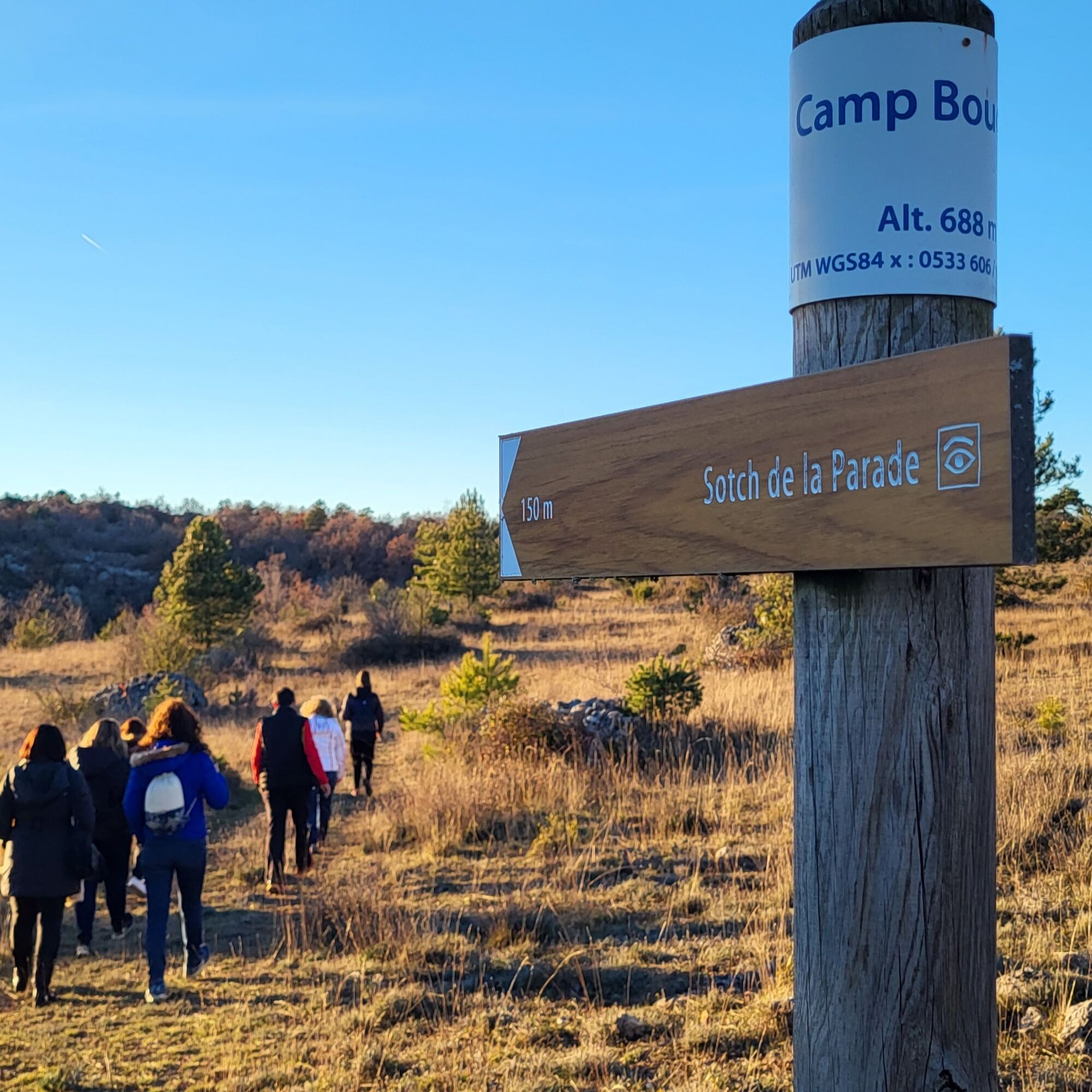
On the eastern edge of the Causse du Larzac, the magnificent village of Sorbs marks the starting point of the Smart'Flore* digital botanical trail "Sentier des Sotchs". This original walk invites you to...
A sotch is a circular, funnel-shaped depression, small in diameter but deep. It is formed when a sinkhole is filled in, or when the clay clogging the bottom of a doline is removed.
Of the three formations visible along the route, the most spectacular is the Parade sotch, which is oval in shape (200m long by 45m deep) with steep, asymmetrical slopes lined with boulders and woody vegetation. Robert's sotch, on the other hand, is virtually circular (200m in diameter and 30m deep). The gently sloping sides, topped by a rocky embankment, are covered with boxwood moorland. Finally, the Fageolle sotch (the smallest, 100m in diameter and 5m deep) completes this singular geological trilogy.
This botanical trail is proposed by the CPIE des Causses Méridionaux, which contributes to the knowledge and preservation of flora by deploying the "Smart Flore" participatory science program in its territory.


1
From the parking lot, drive through the village of Sorbs towards Ville Vieille. At the crossroads, leave the lavogne (waterhole used to water herds) on your right and continue straight on towards the Sotch de Robert (chemin des Sotchs). You are now at marker 6 on the "Des Vallées Sèches aux Sotchs" trail.
2
Stay on the main trail around the sotchs until you reach marker 5 on the "Des Vallées Sèches aux Sotchs" trail. Then follow the yellow markings on the main trail.
A75 exit 49
The route indicated on the leaflet and in the app starts at Ville Vieille and does not take into account the 2.5 km (round trip) needed to reach the parking lot.
+33 4 67 44 75 79
CPIE des Causses Méridionaux
Popularne wycieczki w okolicy
-
CIRQUE DE NAVACELLES AND MOULINS DE LA FOUX HIKING TRAILS
średniWędrówka 9,73 km -
NAVACELLES HIKE - CAUSSE AND VIS GORGES
średniWędrówka 19,6 km -
HIKE FROM DRY VALLEYS TO SOTCHS
średniWędrówka 11,5 km -
HIKING OF THE SERRE DE GRENOUILLET
średniWędrówka 7,70 km -
HIKING TOUR IN THE HEART OF THE CAUSSE - GR® DE PAYS TOUR DU LARZAC MÉRIDIONAL
średniWędrówka 56,7 km -
ROUTE NO. 87 - THE LION OF SERVIÈRES - MTB AREA FFC LODÉVOIS AND LARZAC
średniMountainbike 28,0 km -
RAJOLS HIKE
średniWędrówka 13,4 km -
ROUTE No. 75 - SOUTH OF LARZAC - MTB-FFC AREA LODÉVOIS AND LARZAC
średniMountainbike 18,3 km -
HIKING OF SOUTH LARZAC
średniWędrówka 17,4 km -
LES FALAISES DE L'ESCALETTE HIKE
średniWędrówka 15,8 km
Wędrówki i tropienie


Nie przegap ofert i inspiracji na następne wakacje
Twój adres e-mail została dodana do listy mailingowej.





