


NAVACELLES HIKE - CAUSSE AND VIS GORGES
WARNING (information October 2024): access to this route is temporarily closed due to a collapse. See our practical advice for more information.
From the village of Saint-Maurice-Navacelles, descend to...
From the village of Saint-Maurice-Navacelles, descend to the coolness of the Vis gorges before climbing back up to the Baume Auriol viewpoint to admire the Navacelles cirque, Grand Site of France. Then immerse yourself in the agro-pastoral atmosphere of the causse.

1
From the parking lot, go up towards the D 25 and cross it. Reach the Calvary square, pass the castle on the right. Take the dirt path at the fork.
2
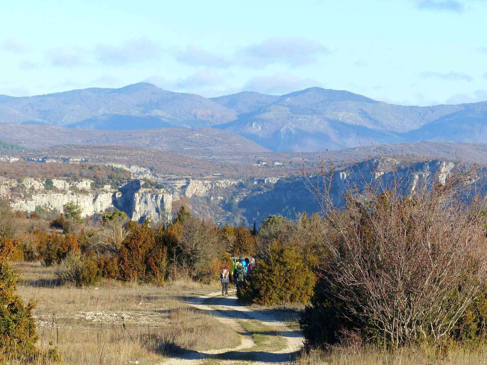
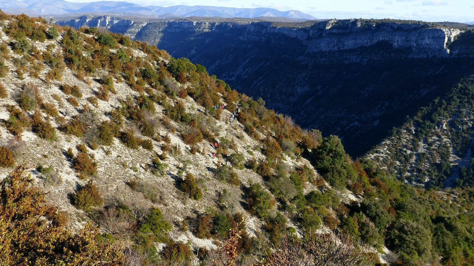
Cross the D 130, continue on the track ahead (360° views of the Larzac plateau). Pass through a gate, continue straight ahead then descend into the Vis gorges by a zigzag path.
3
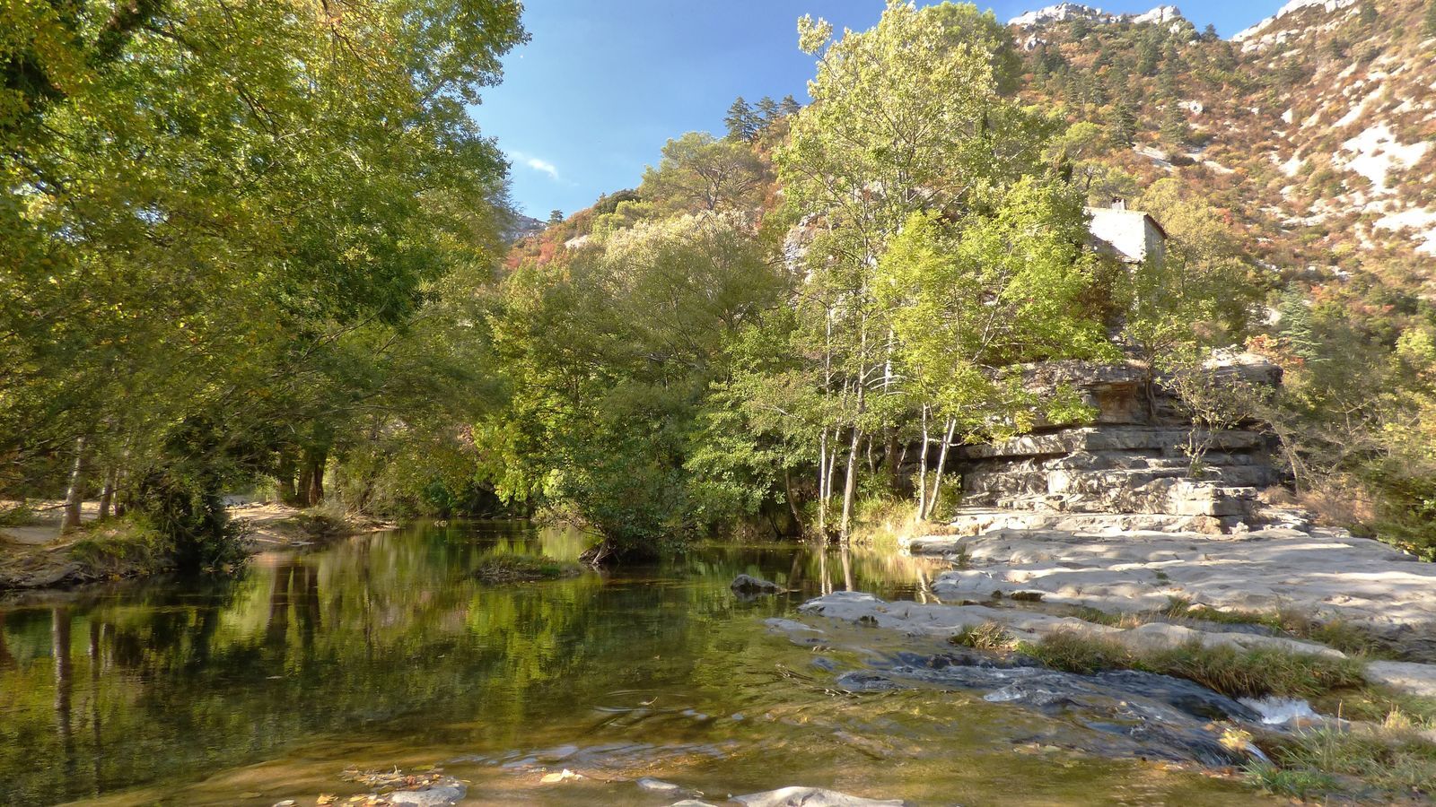
At the bottom, turn left onto a track through the pines, pass in front of Mas du Pont near the Vis. The track rises and follows the Vis overlooking. Pass by the water intake for the Madières power plant, up to the end of the track.
4
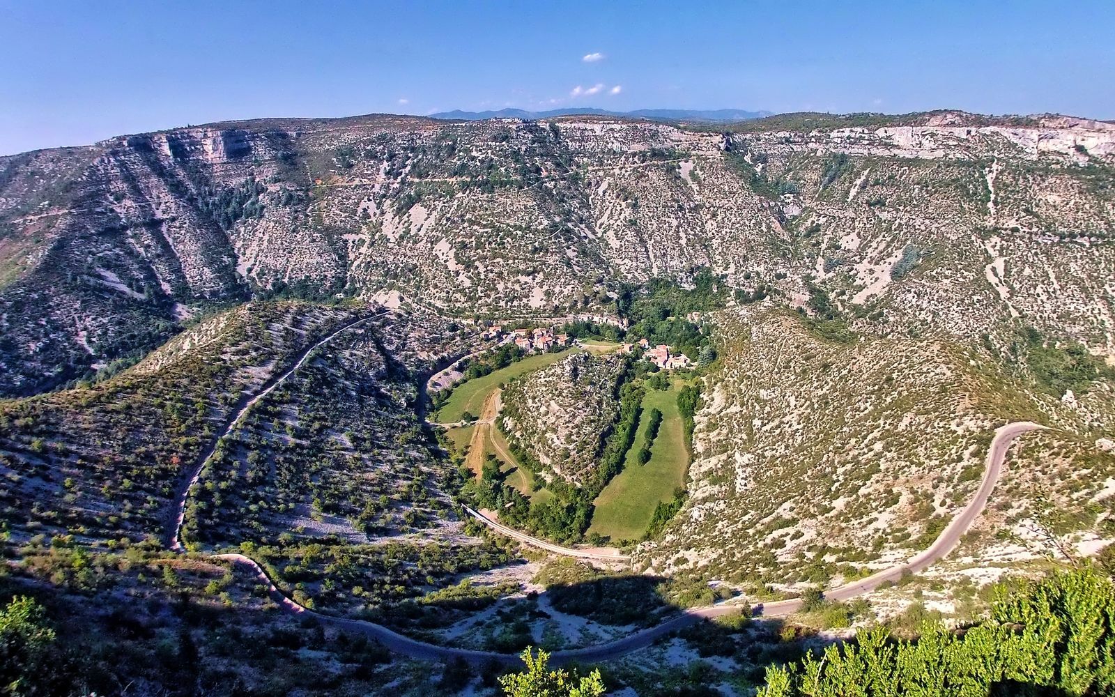
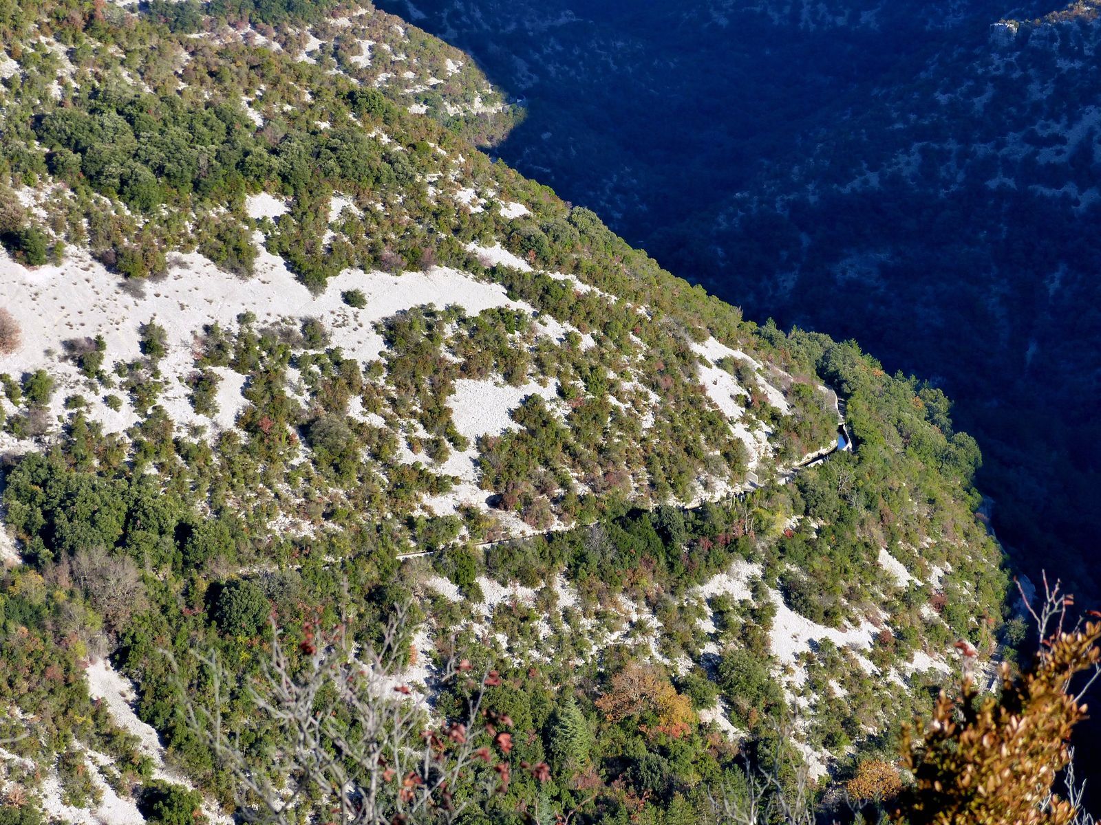
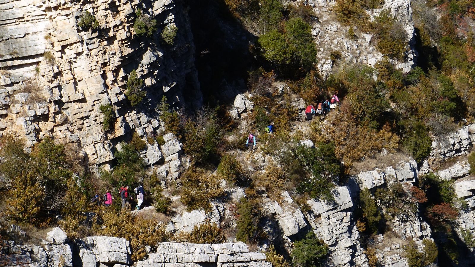
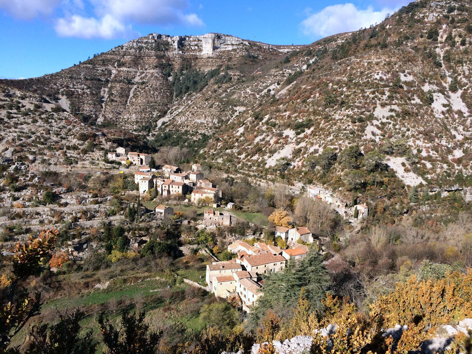
Continue along a balcony path overlooking the Vis (caution: exposed passages). Further on, reach a promontory (view of the Navacelles hamlet). Take the right path to reach the village. Cross it, pass in front of the waterfall and follow the river.
5
Climb left by the Facteur path between dry stone walls. Turn right in front of the church, immediately climb the stairs on the left, leave Navacelles. Cross the D 130, continue climbing in switchbacks. At the top, turn left to Baume Auriol (viewpoint over the Navacelles Cirque). At the parking lot, go right and join the D130.
6
Follow the D130 to the right for 1 km (caution).
7
Leave the road to take the track going up to the right and start crossing the causse. At the fork, continue left. Walk 1 km, turn left at the gate onto a faint path, running between boxwoods (follow the markings carefully). After a large oak, the path descends and crosses a track.
8
Continue straight between boxwoods and oaks. Go straight at the fork. At the next fork, descend left towards a field, which you follow on the right under the woods. At the end of the field, go through a gate, follow the fence in a sparse wood. Cross another gate and continue on the dirt track. Turn left, follow the hedge, cross the gate. Follow the fence, cross an open field.
9
Pass a gate and enter a path bordered by boxwood and ash hedges. Cross a farm track and continue straight (caution near the Castelet farm: patous, guardian dogs). Keeping the same direction, cross two small roads (Paul Dardé monument at the cemetery, icehouse, lavogne) and reach the D 25. Go left to return to the parking lot.
In case of emergency, call 112.
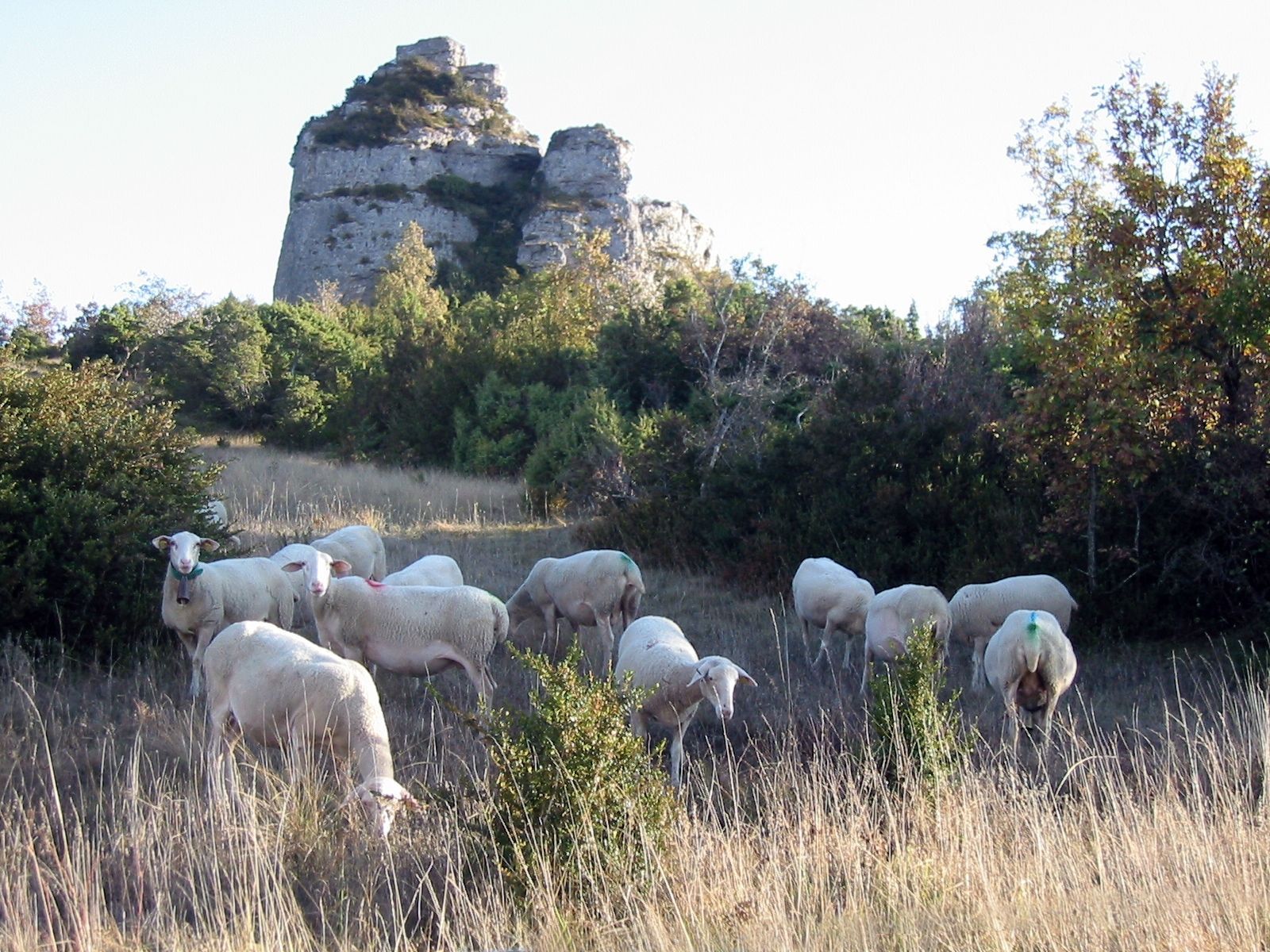
The circuit is largely exposed to heat. Steep slopes and exposed sections are not recommended for people prone to vertigo. This itinerary crosses a pastoral area: herds and guardian dogs are present most of the year, please be sure to close the gates properly.
In the presence of guardian dogs, adopt proper behavior:
- remain calm, do not threaten or pet them,
- keep your dogs on a leash and do not carry them,
- maintain a safety distance of 30 meters.
Yellow PR
+33 4 67 88 86 44
Tourism Office Lodévois and Larzac
PR - FFR
Popularne wycieczki w okolicy
CIRQUE DE NAVACELLES AND MOULINS DE LA FOUX HIKING TRAILS
średniWędrówka 9,73 km- 4,0
CYCLE LOOP No.4 - THE HÉRAULT GORGES AND THE COL DES LAVAGNES
średniJazda na rowerze 53,3 km RANDONNEE DE PEYRE MARTINE
średniWędrówka 15,4 kmHIKE FROM DRY VALLEYS TO SOTCHS
średniWędrówka 11,5 kmHIKING OF THE SERRE DE GRENOUILLET
średniWędrówka 7,70 kmHIKING TOUR IN THE HEART OF THE CAUSSE - GR® DE PAYS TOUR DU LARZAC MÉRIDIONAL
średniWędrówka 56,7 kmMONT SAINT-BAUDILLE HIKE
średniWędrówka 10,4 kmHIKE OF NOTRE-DAME-DU-LIEU-PLAISANT
średniWędrówka 11,1 kmRAJOLS HIKE
średniWędrówka 13,4 kmLA SERANNE PONTEL HIKE
średniWędrówka 17,5 km
Wędrówki i tropienie


Nie przegap ofert i inspiracji na następne wakacje
Twój adres e-mail została dodana do listy mailingowej.