







ROUTE No. 75 - SOUTH OF LARZAC - MTB-FFC AREA LODÉVOIS AND LARZAC

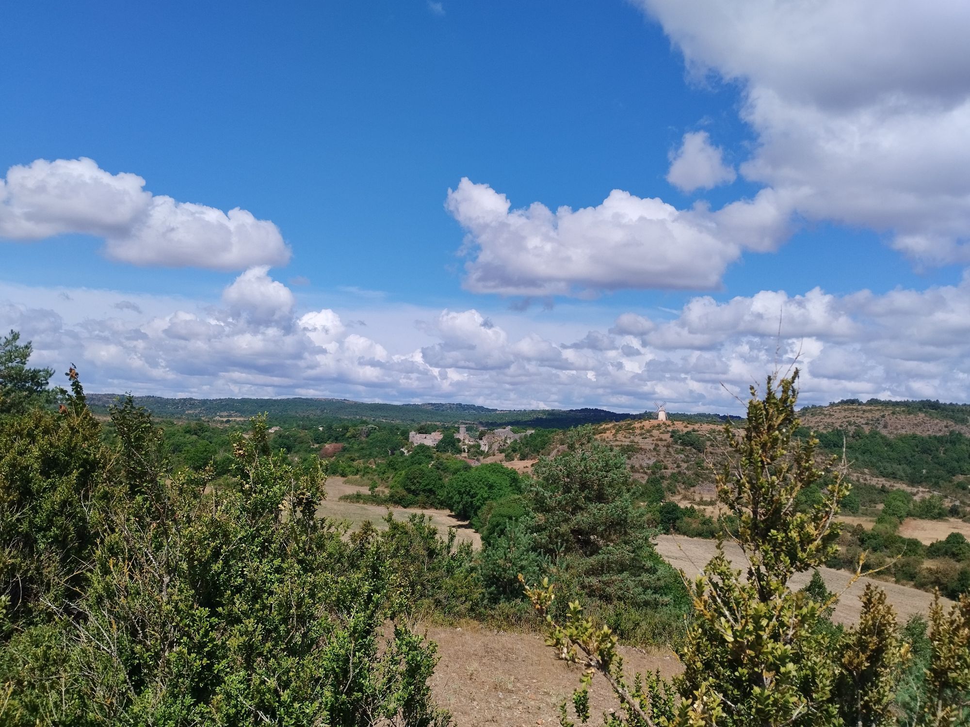
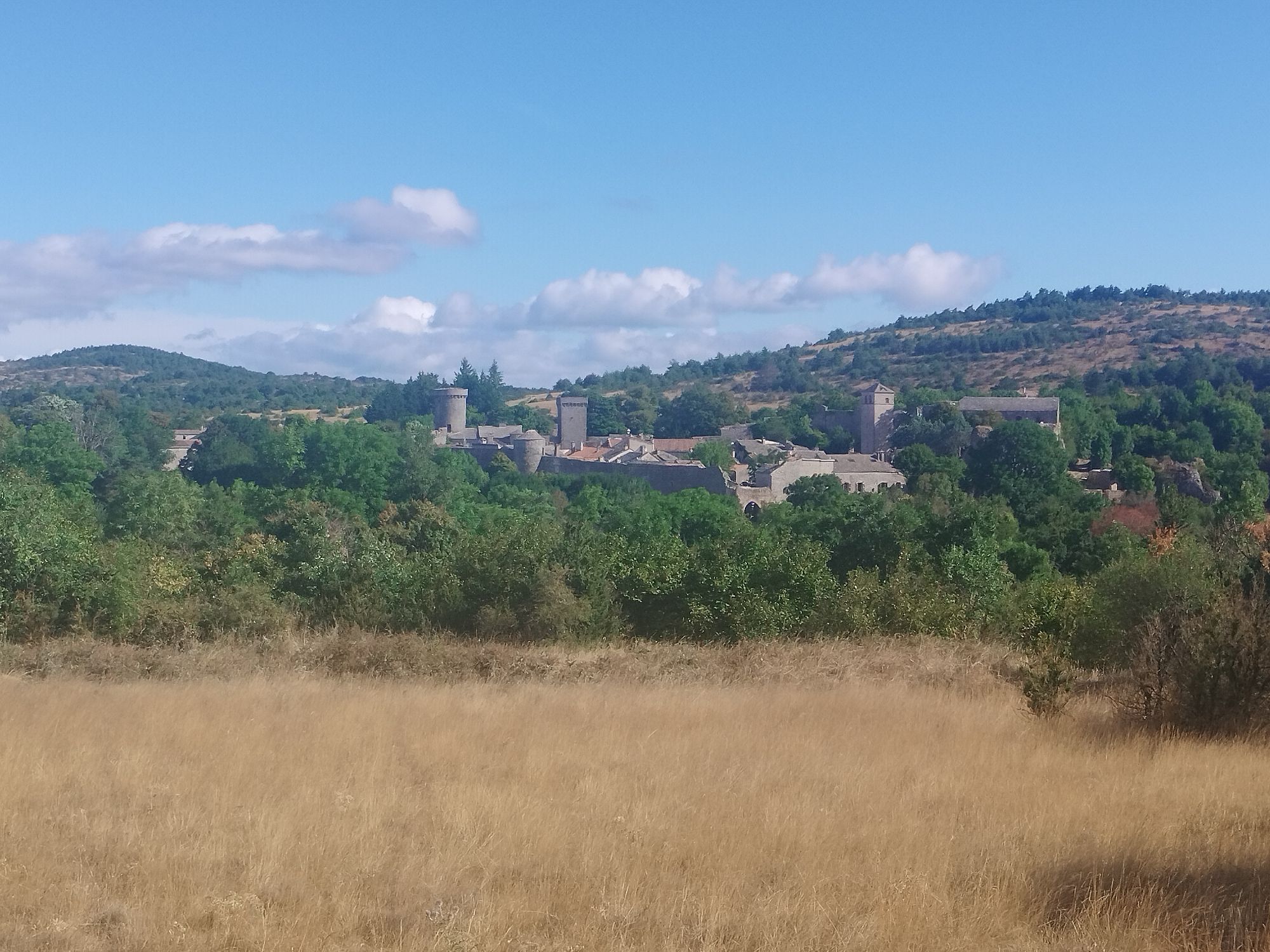
WARNING New number / New marking: No. 75 and Brown MarkersTrack and trail offering wide views over La Couvertoirade and Roc Castel, Larzac spirit. On the route of the Great Crossing of the Massif Central...
WARNING New number / New marking: No. 75 and Brown Markers
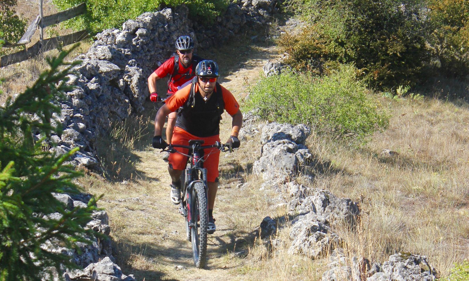
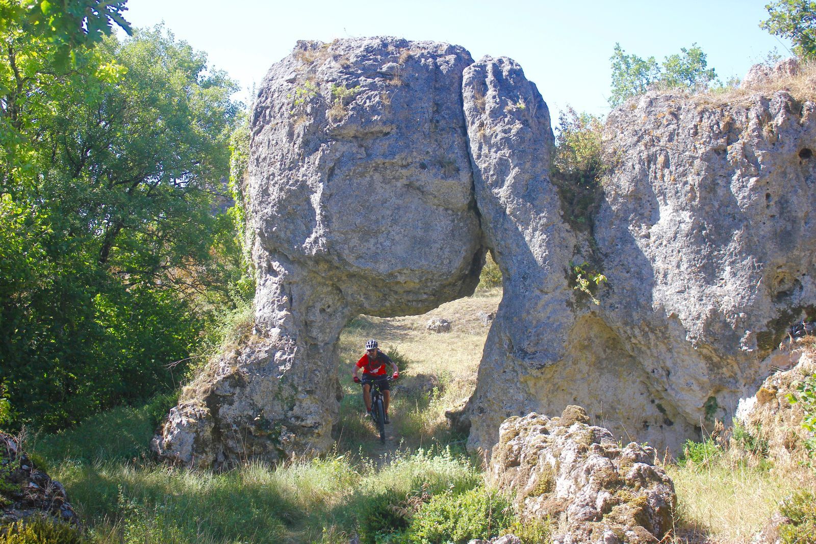
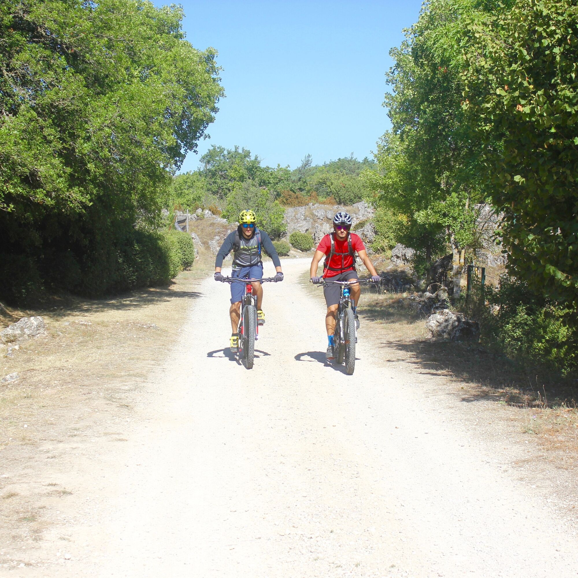
Track and trail offering wide views over La Couvertoirade and Roc Castel, Larzac spirit. On the route of the Great Crossing of the Massif Central by MTB. Technical sections on the return from the Templar city of La Couvertoirade.
To discover along the way: village of Le Caylar in Larzac (Roc Castel, carved tree, small heritage, Parc du Theil) - village Le Cros - La Couvertoirade.


1
Start in front of the market hall by taking the Green Network to cross the village.
2
At the first junction, take the dirt path on the right which you will follow for about 2.3 km. Then leave the green network and turn right
3
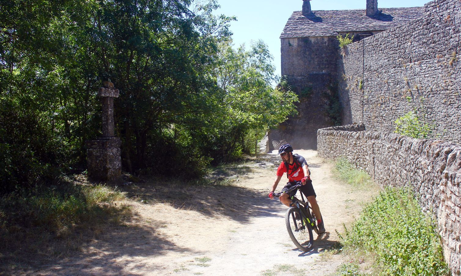
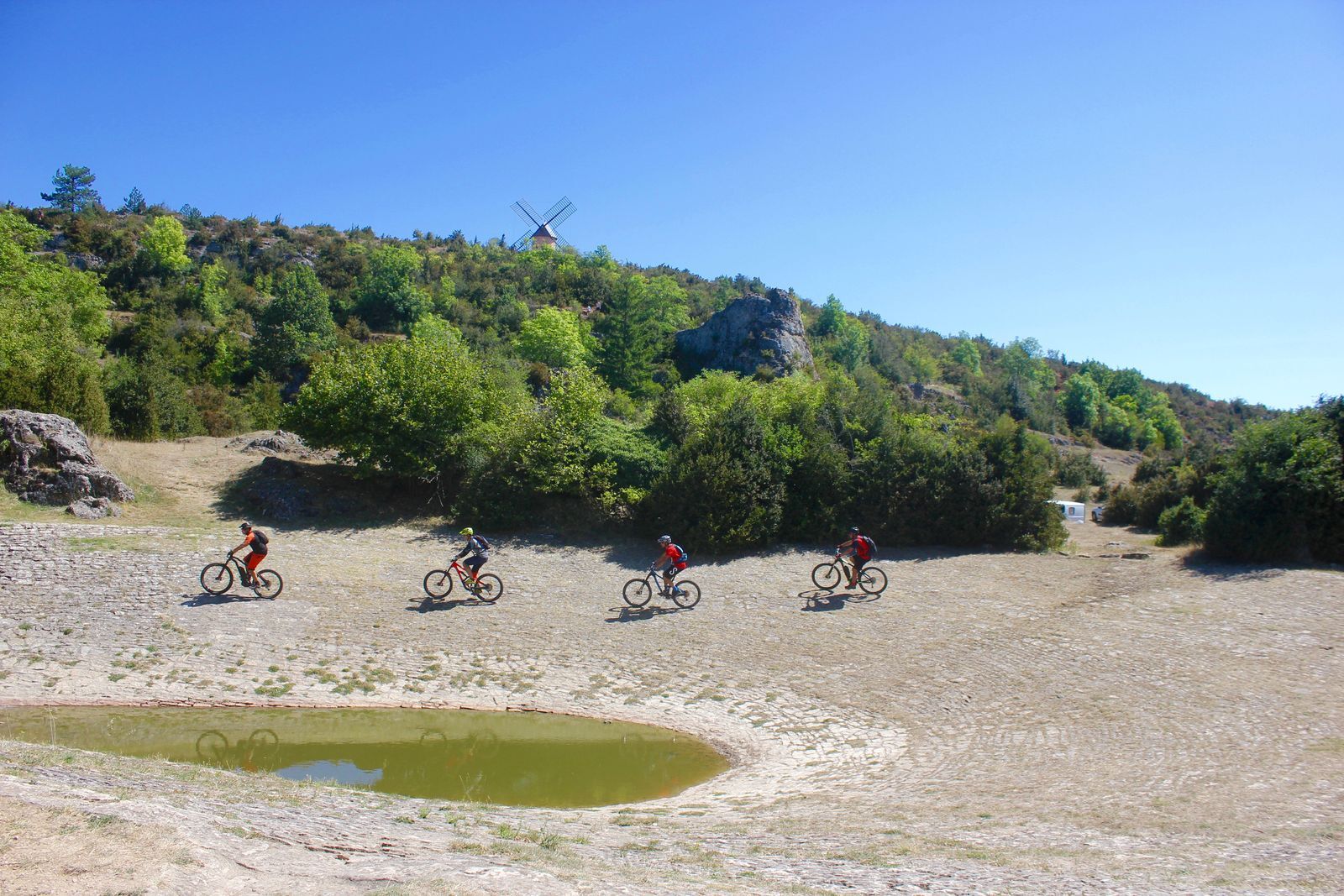
Take the path to the pond, then after going around it, rejoin the Green Network track. Cross the village of Le Cros passing in front of the castle, take the road towards La Couvertoirade, and 150 m after leaving the main square turn right
4
This pleasant route will lead you to the RD 152 E7 which you will use left for 400 m then again left to access the ruins of Mas de Grimal
5
Then take a rolling and slightly steep path on the left which will take you onto a plateau with remarkable views of the Causse, then after a nice descent you will find the main road heading to La Couvertoirade which you take right. Rolling dirt track, wide with some traps until the entrance of the medieval city.
6
Ride 300 m on the asphalt and facing the south gate of the city, turn left. Then follow the GR 71 and the Southern Larzac Loop on the return with some technical passages before Mas Aussel and others in the last part. Exit onto RN 1009.
7
Ride 450 m on the shoulder of this RN 1009 then turn left into rue du mas Gervais then du Portal Blanc up to the bell tower. To the right on RN 1009 reach the market hall.
In case of emergency, dial 112
A 75 - exit 49 and 50
A 75 - exit 49 and 50
Mountain Biking as you want! but ….. - Use marked trails for your safety and respect the direction of routes - Do not overestimate your abilities and keep control of your speed - Be careful and courteous when overtaking or crossing hikers as pedestrians have priority - Check the condition of your MTB and plan supplies and repair accessories - If you go alone, leave your route with someone - Wearing a helmet is highly recommended - Respect private properties and cultivated areas - Beware of agricultural and forestry machinery - Close gates and barriers after passing regarding livestock - Avoid picking wild flowers, fruits and mushrooms - Do not disturb the tranquility of wild animals - Keep your trash, be discreet and respectful of the environment - Have proper insurance
Brown MTB Markers
+33 4 67 88 86 44
Tourist Office Lodévois and Larzac
PDESI
Popularne wycieczki w okolicy
CIRQUE DE NAVACELLES AND MOULINS DE LA FOUX HIKING TRAILS
średniWędrówka 9,28 kmNAVACELLES HIKE - CAUSSE AND VIS GORGES
średniWędrówka 19,6 kmHIKE FROM DRY VALLEYS TO SOTCHS
średniWędrówka 11,5 kmHIKING TOUR IN THE HEART OF THE CAUSSE - GR® DE PAYS TOUR DU LARZAC MÉRIDIONAL
średniWędrówka 56,7 kmCORNICHES DE LAUROUX HIKE
średniWędrówka 13,8 kmCIRQUE DE LABEIL HIKE
światłoWędrówka 3,90 kmHIKING OF SOUTH LARZAC
średniWędrówka 17,4 kmCYCLE LOOP No. 13 - THE COL DU PERTHUS AND THE LABEIL CIRQUE FROM LODÈVE
średniJazda na rowerze 39,3 kmROUTE NO. 87 - THE LION OF SERVIÈRES - MTB AREA FFC LODÉVOIS AND LARZAC
średniMountainbike 28,0 kmORB TO ESCANDORGUE HIKE
średniWędrówka 16,9 km
Wędrówki i tropienie


Nie przegap ofert i inspiracji na następne wakacje
Twój adres e-mail została dodana do listy mailingowej.





