







LE CIRQUE DE NAVACELLES CYCLO TOUR - DEPARTURE FROM LE CAYLAR

Over six hours of riding, with some 7% ascents: this is a circuit for experienced cyclists. But what a reward! With the blue line of the Cévennes as a backdrop, this ride, rich in sumptuous scenery, reaches...
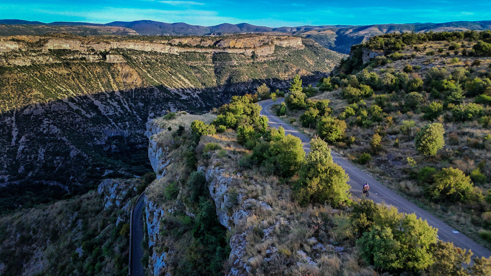
Over six hours of riding, with some 7% ascents: this is a circuit for experienced cyclists. But what a reward! With the blue line of the Cévennes as a backdrop, this ride, rich in sumptuous scenery, reaches its climax on the descent and ascent of the cirque de Navacelles, a veritable geological curiosity carved out of a meandering river.



1
From La Halle, head towards La Couvertoirade, Nant (D55). Approx. 4km further on is the fortified Templar town of La Couvertoirade. Continue straight on to the crossroads with the D7, follow it to the right, then turn left onto the D55 to go back down to Nant.
2
Join St-Jean du Bruel on the D999. Go through the village, past the village hall, and at the small traffic circle continue on the D999 towards Sauclières (uphill for 4km).
3
In Sauclières, pass under the old railroad bridge and continue left on the D999 towards Alzon, up to the Col de la Barrière and then back down to Alzon. In the village, follow signs for Le Vigan and cross the tunnel.
4
Then take the first right towards Blandas on the D158 to the Col de Campviel. After the pass, turn right towards the Rigalderie D843, cross the hamlet, and then go straight on to the Col de Fontanet to find the D158 leading to Blandas. In the middle of the village, follow signs for the Cirque de Navacelles.
5
Turn right onto the D713, and descend into the cirque as far as Navacelles. Continue on the D130, climbing for 4 km to the Baume Auriol lookout, stopping to admire the view and then heading for St-Maurice de Navacelles. Then take the D152E2 towards Les Besses. Before Les Besses, turn right onto the D152E4, then left to join the D152 through Soulagets and St-Michel d'Alajou. Continue straight on towards Le Caylar. Before reaching the D9, turn right to reach Le Cros. In the hamlet, continue on the D142 to Le Caylar. You'll find the parking lot on your left.
+33 4 67 88 86 44
Lodévois & Larzac Tourist Office
Espace Cyclosport
Popularne wycieczki w okolicy
-
CIRQUE DE NAVACELLES AND MOULINS DE LA FOUX HIKING TRAILS
średniWędrówka 9,28 km -
NAVACELLES HIKE - CAUSSE AND VIS GORGES
średniWędrówka 19,6 km -
HIKE FROM DRY VALLEYS TO SOTCHS
średniWędrówka 11,5 km -
HIKING TOUR IN THE HEART OF THE CAUSSE - GR® DE PAYS TOUR DU LARZAC MÉRIDIONAL
średniWędrówka 56,7 km -
HIKING OF THE SERRE DE GRENOUILLET
średniWędrówka 7,70 km -
HIKING OF SOUTH LARZAC
średniWędrówka 17,4 km -
RAJOLS HIKE
średniWędrówka 13,4 km -
ROUTE No. 75 - SOUTH OF LARZAC - MTB-FFC AREA LODÉVOIS AND LARZAC
średniMountainbike 18,3 km -
TOUR DU LARZAC MÉRIDIONAL INTÉGRAL - GR® DE PAYS TOUR DU LARZAC MÉRIDIONAL
średniWędrówka 104,3 km -
CIRCULAR CYCLING ROUTE No.20 - THE LAVOGNES ROUTE OF LARZAC
światłoJazda na rowerze 31,4 km

Wędrówki i tropienie


Nie przegap ofert i inspiracji na następne wakacje
Twój adres e-mail została dodana do listy mailingowej.





