







Danzersteig: Ennser Hut - Gamsstein - Gschwendtalm

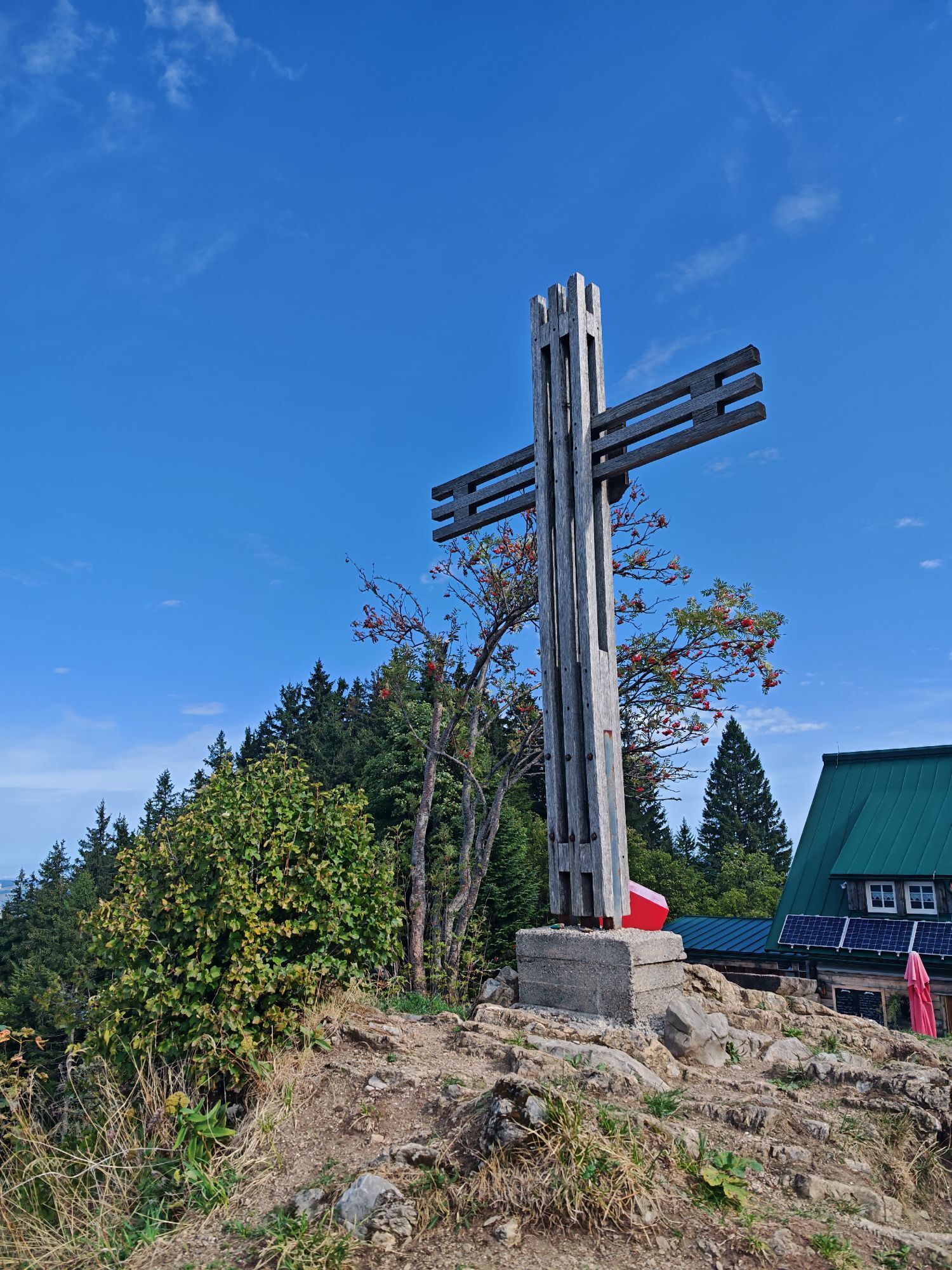
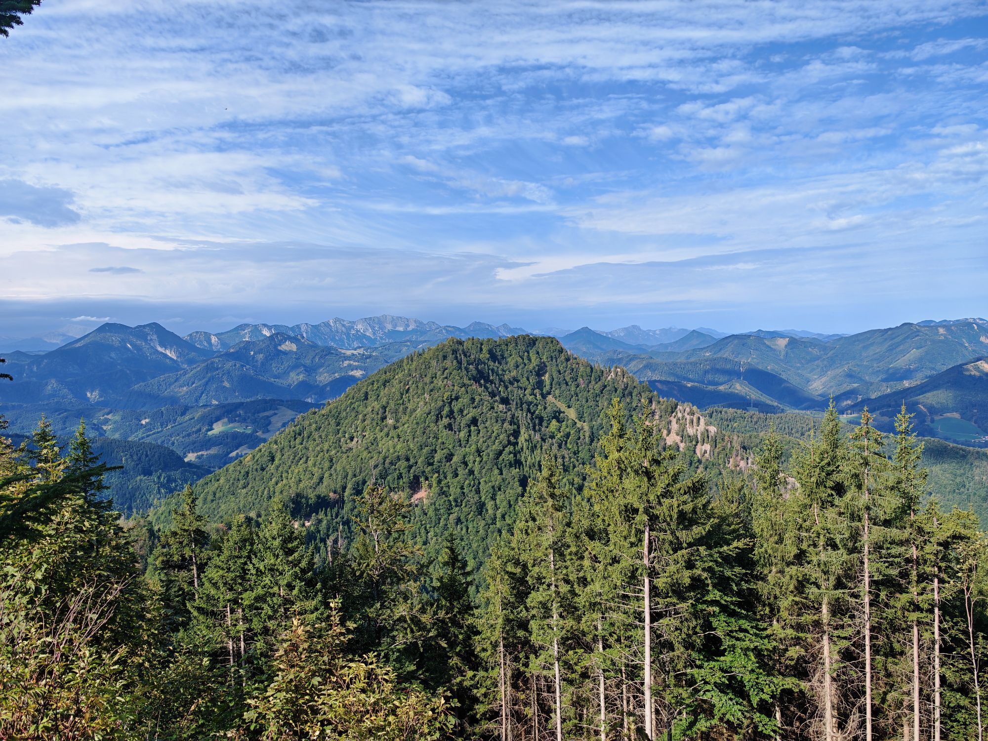
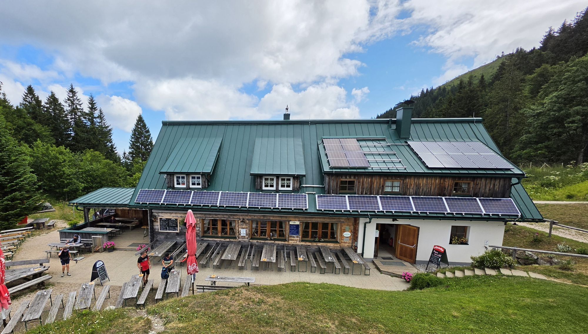
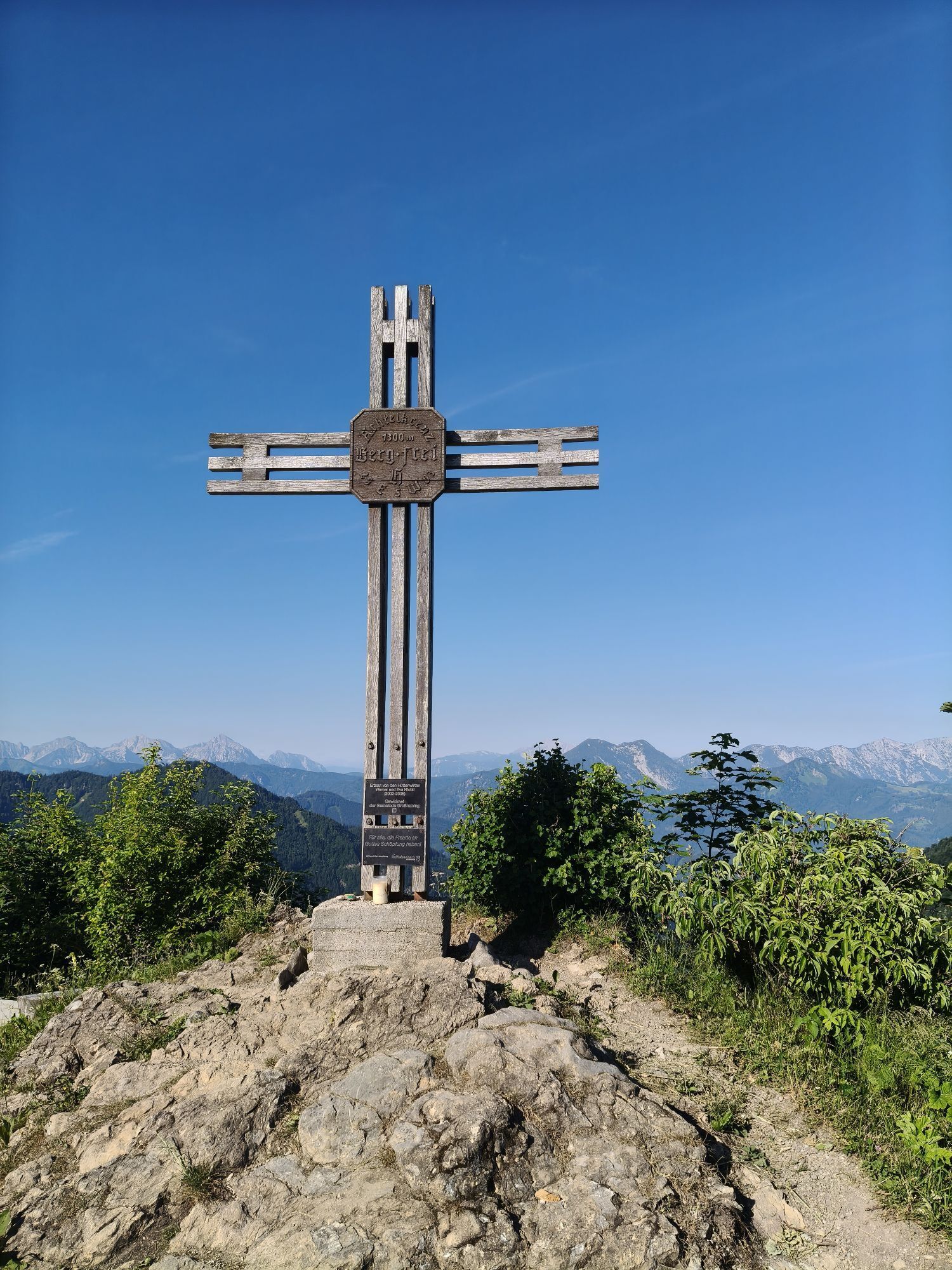
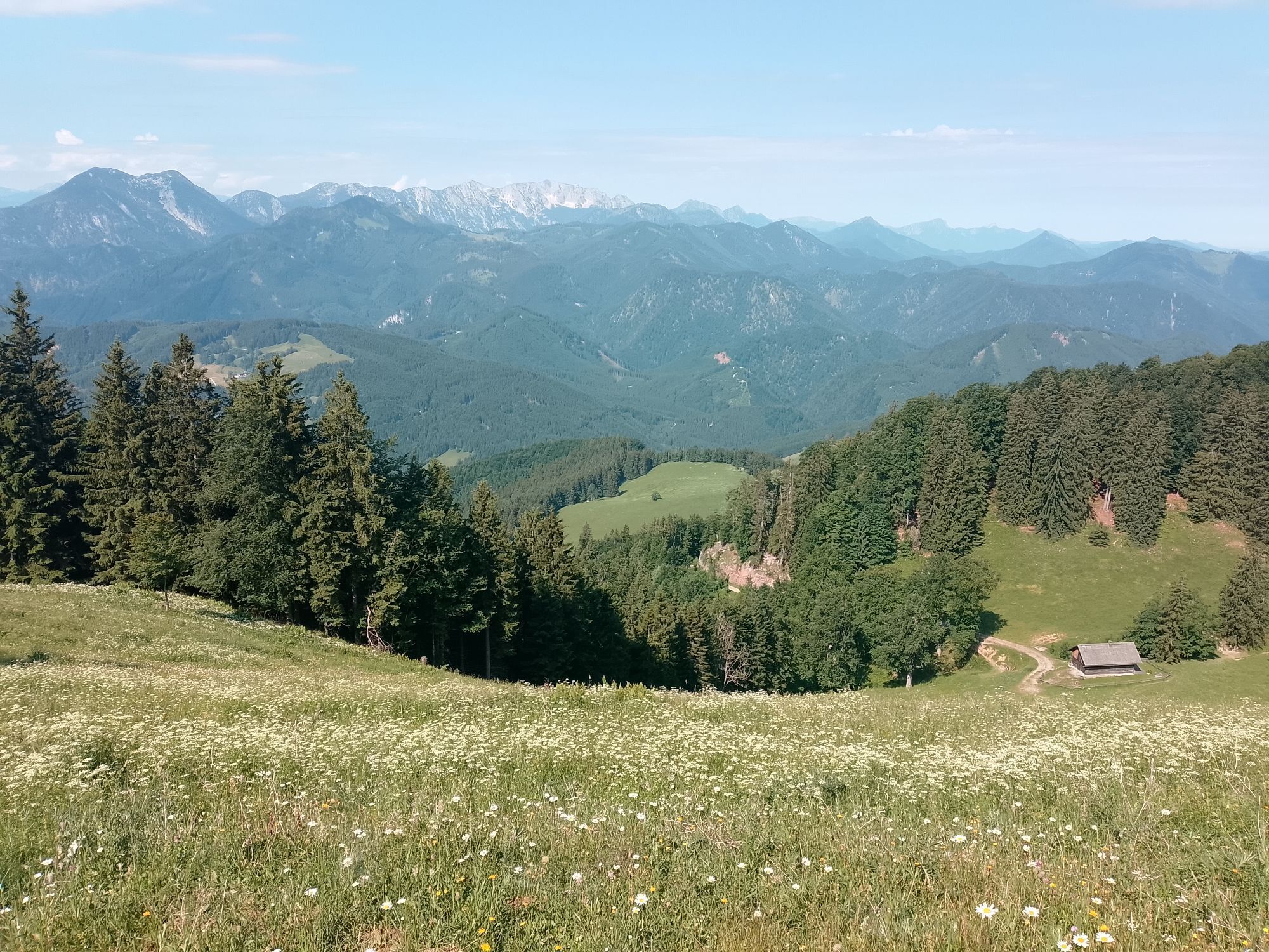
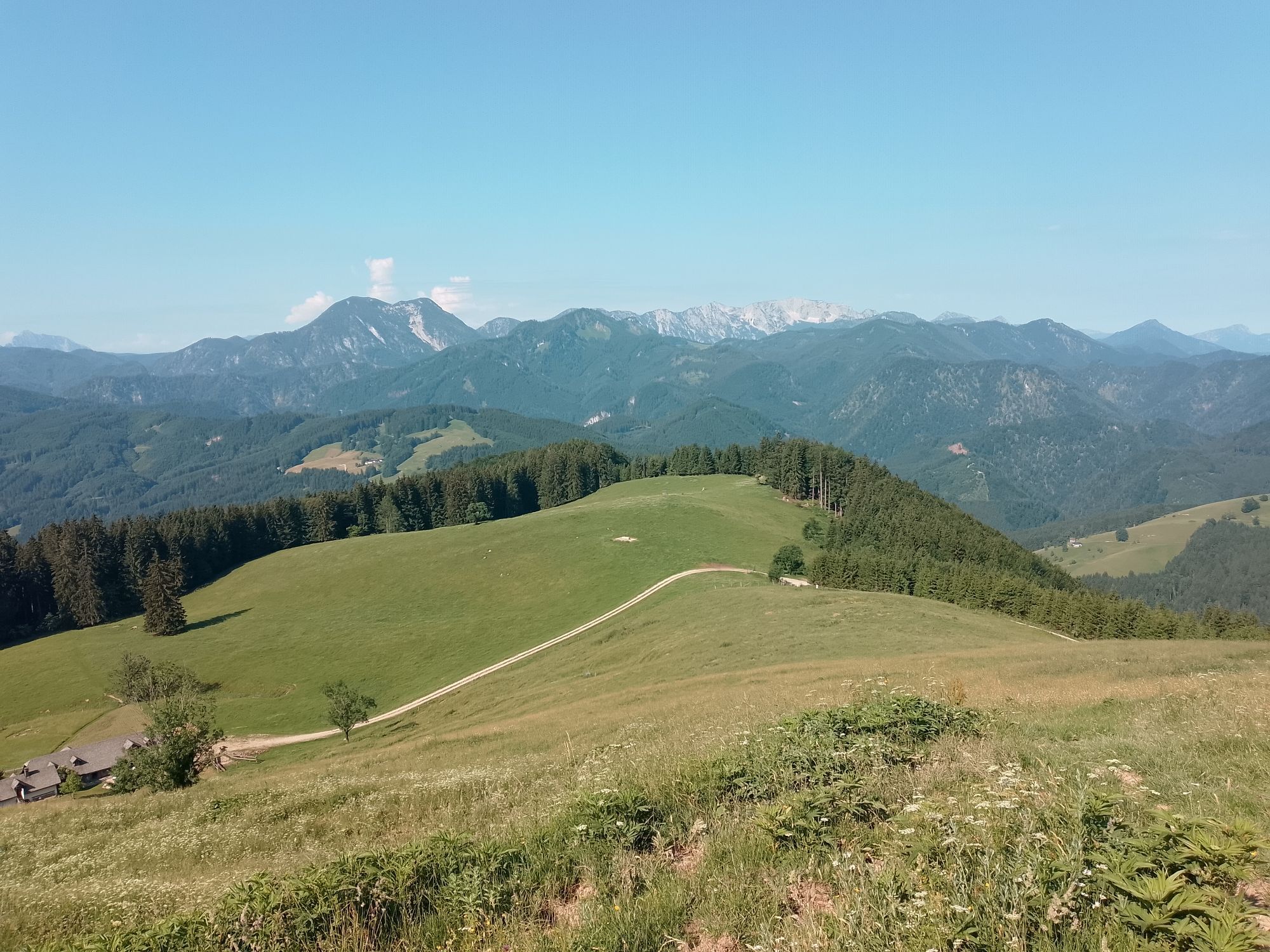
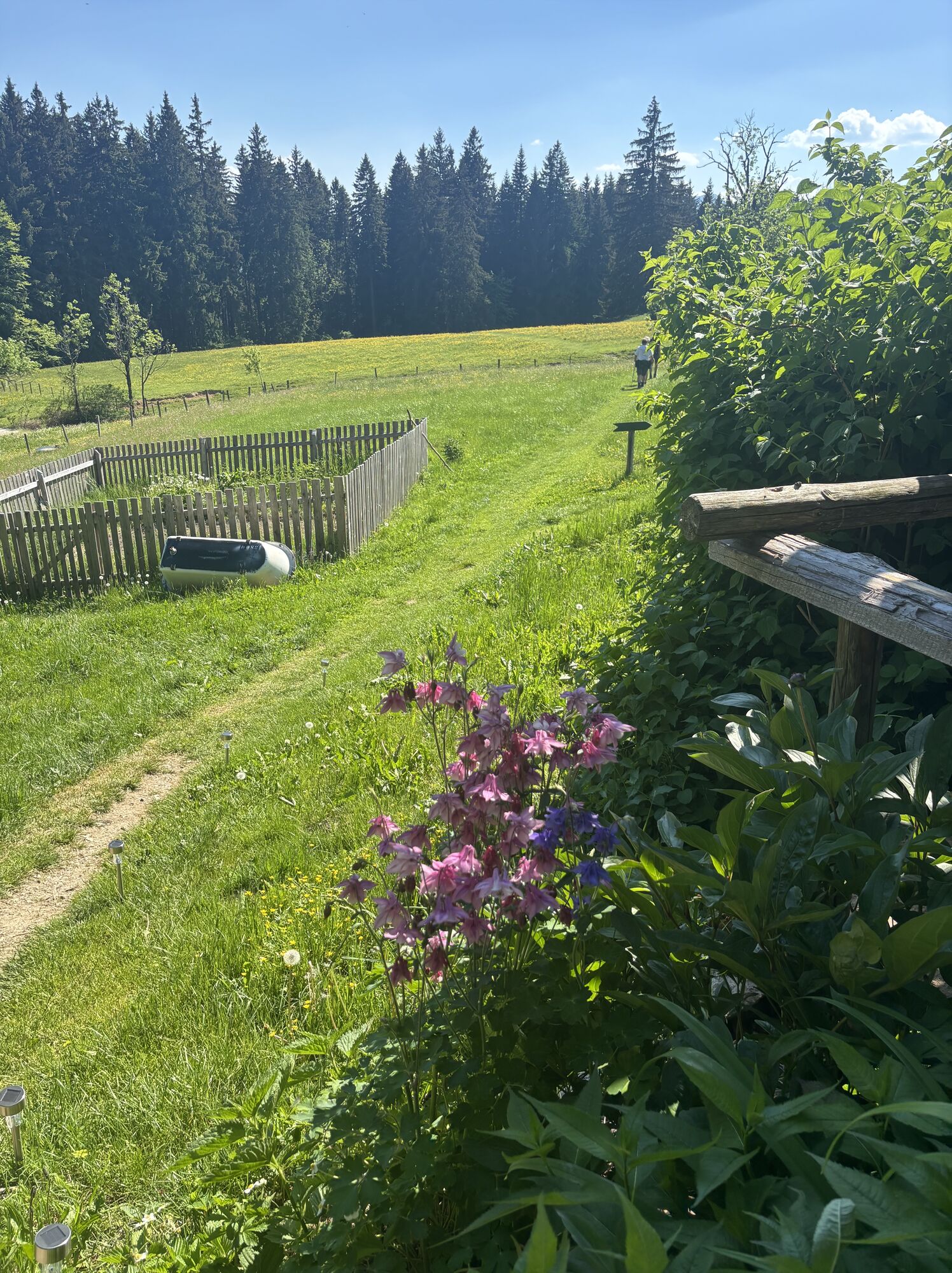
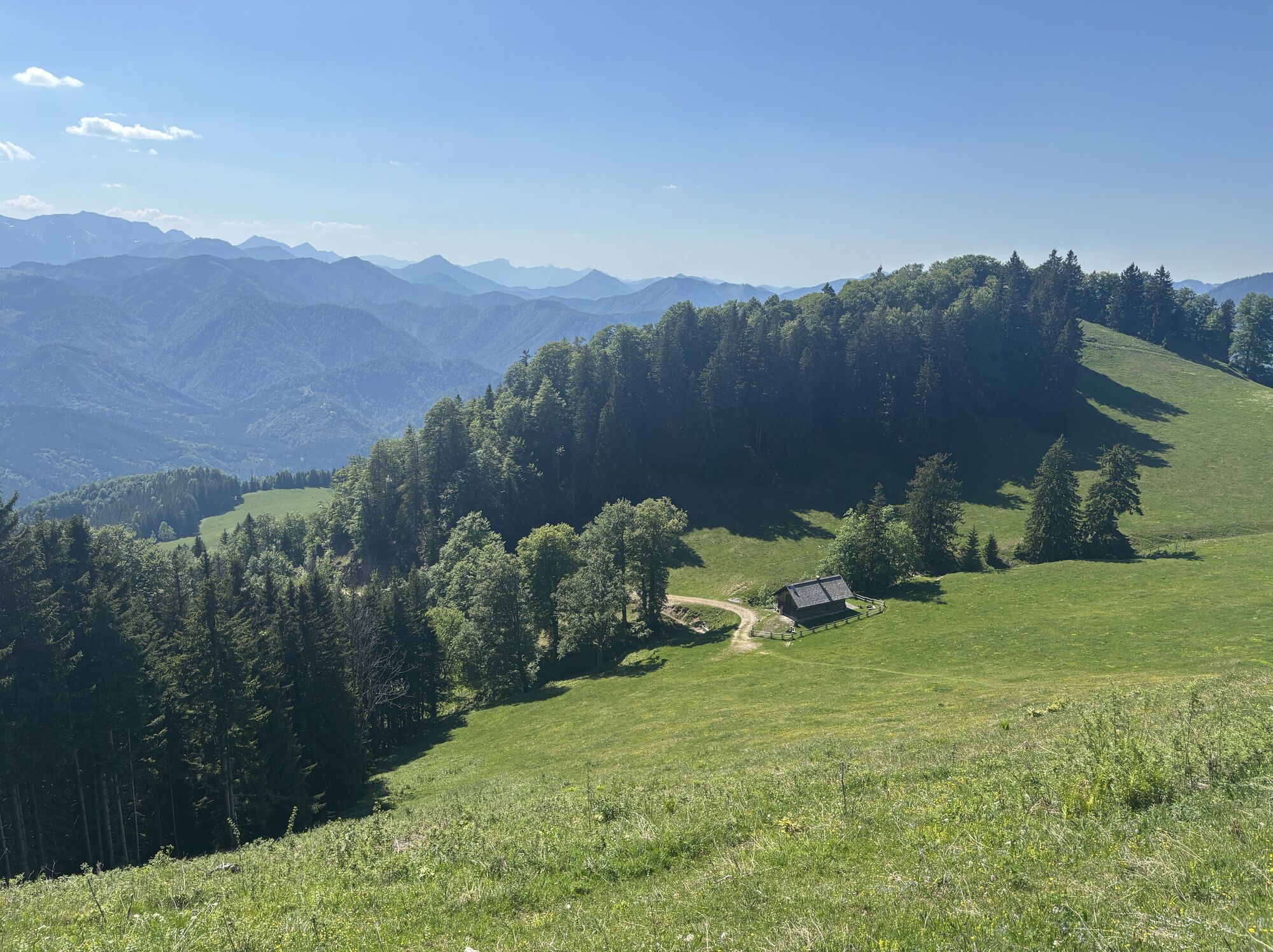
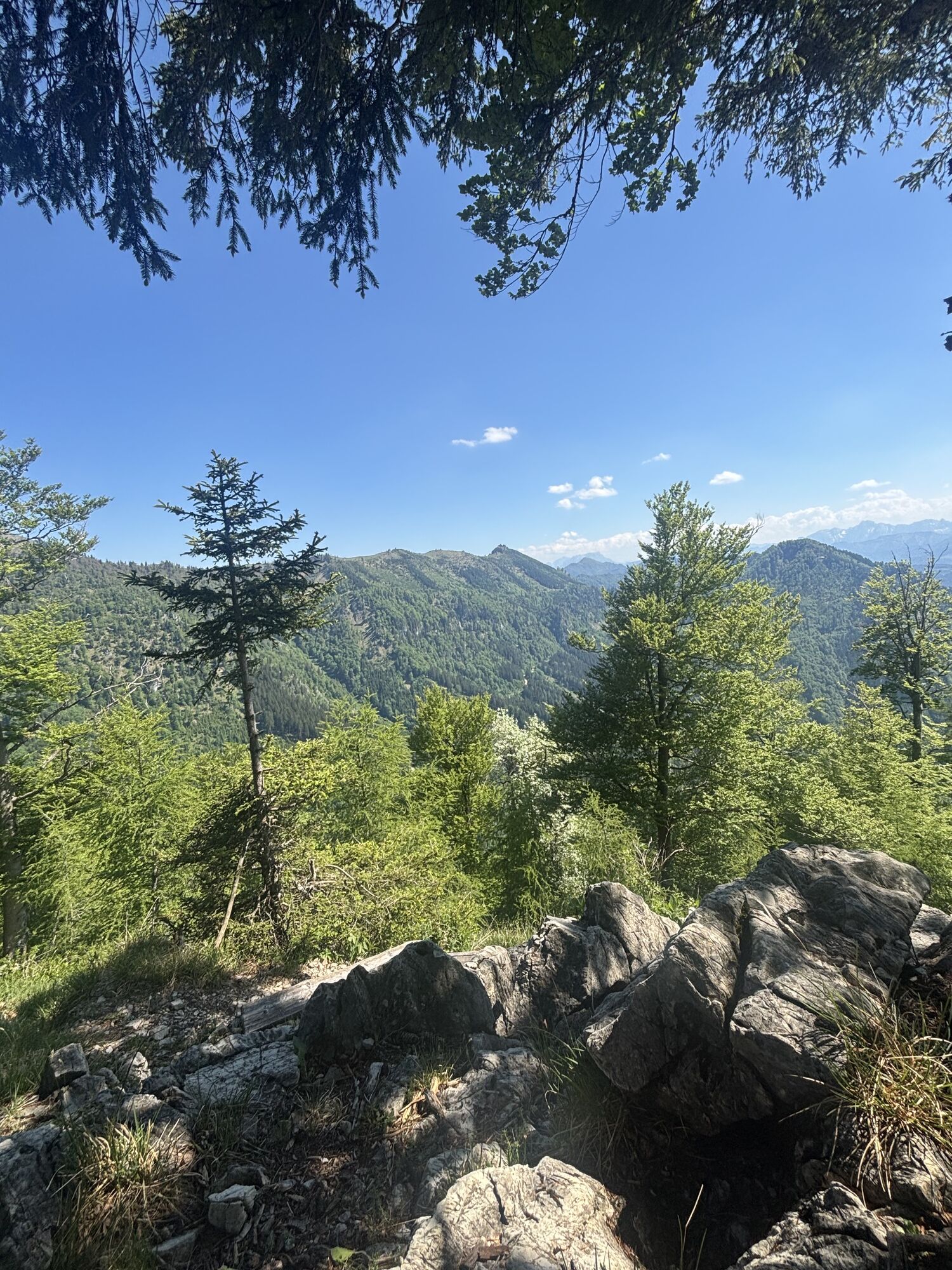
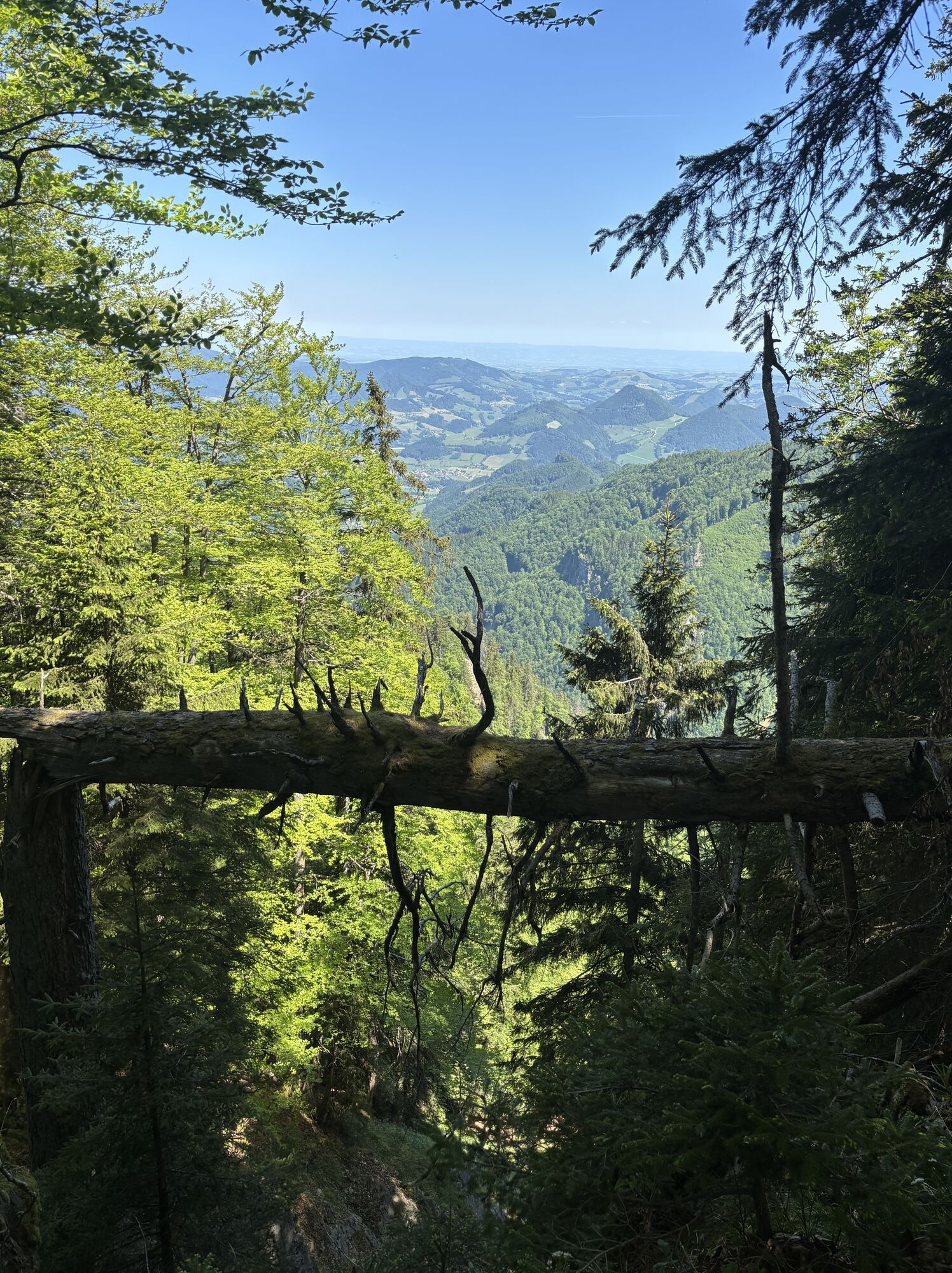
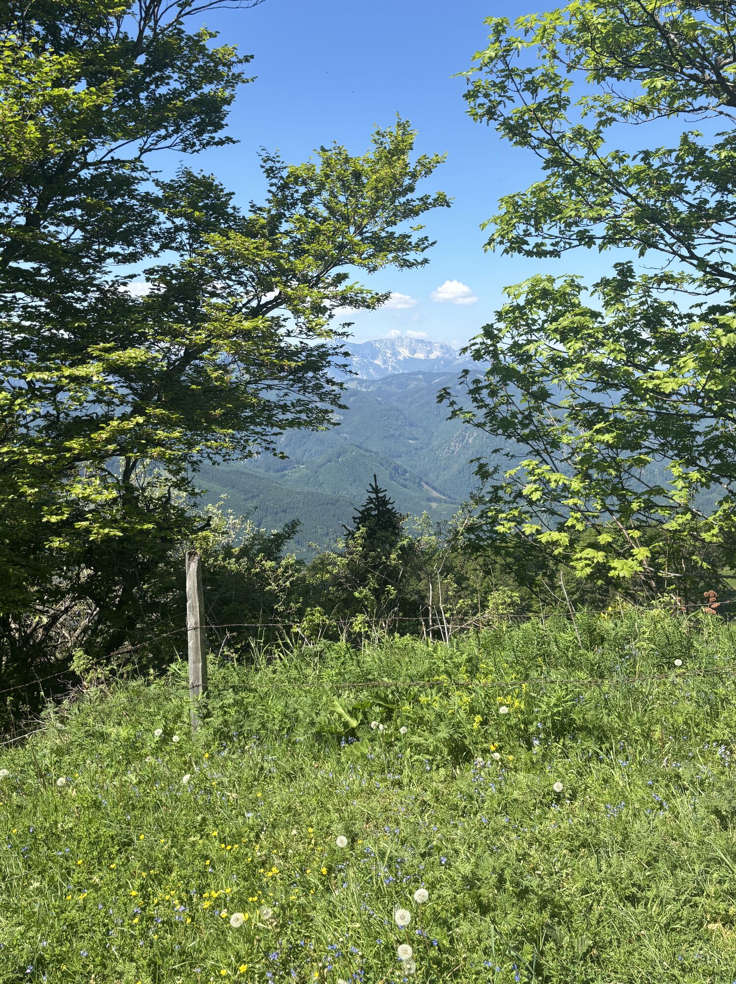
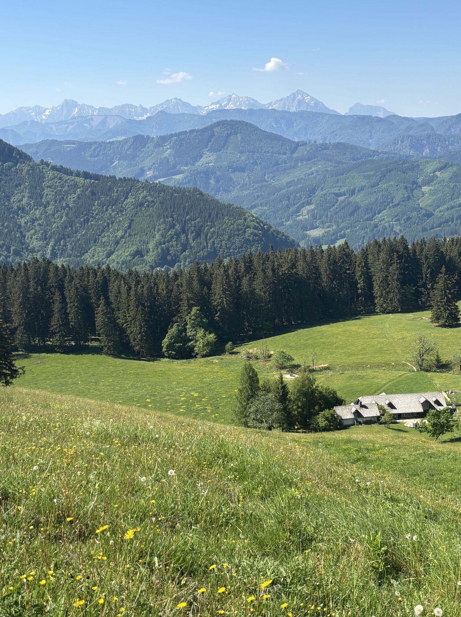
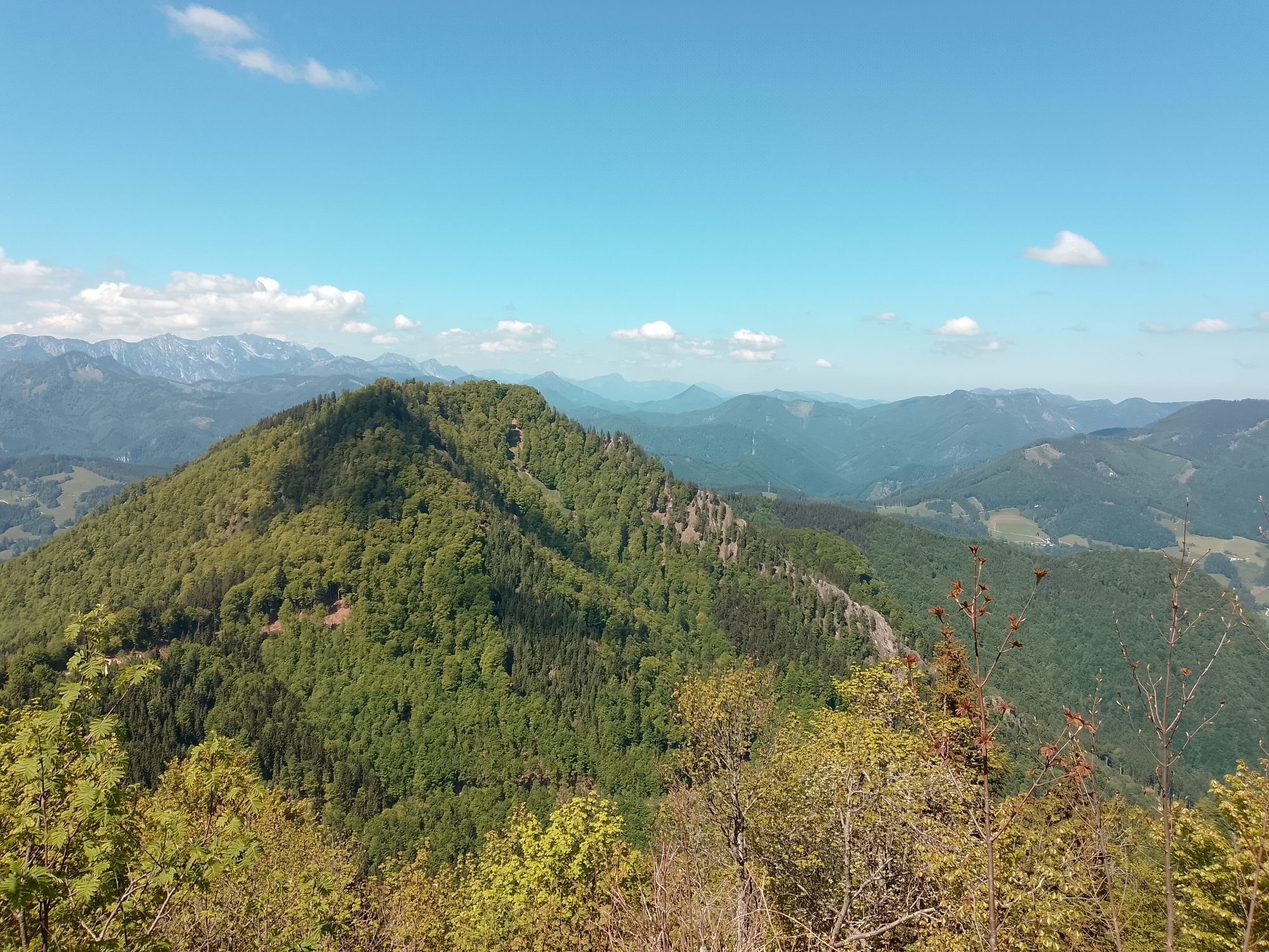
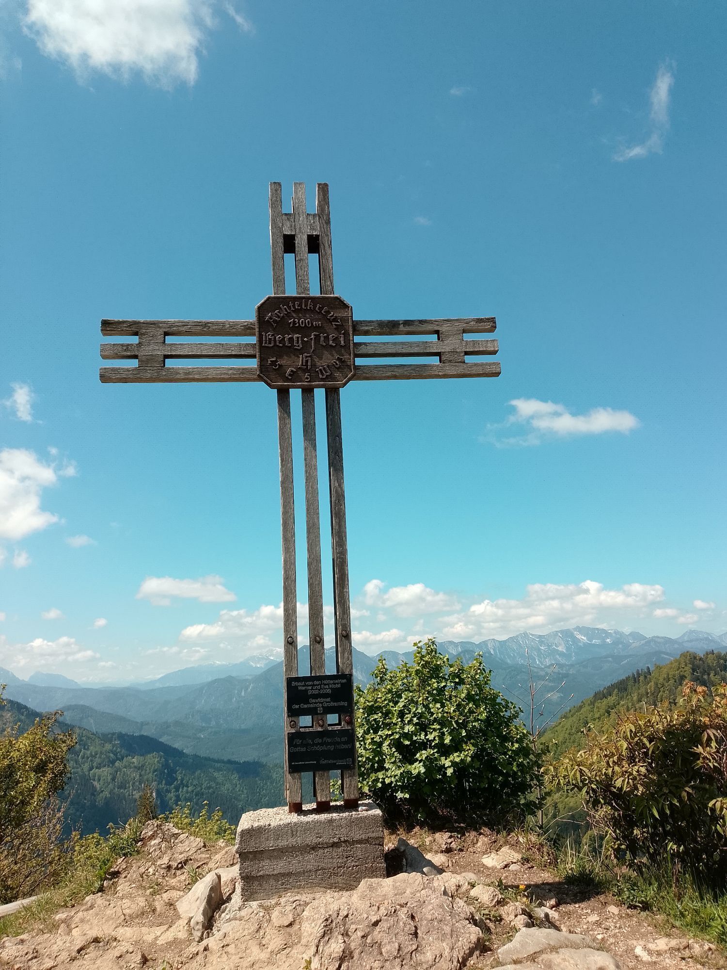
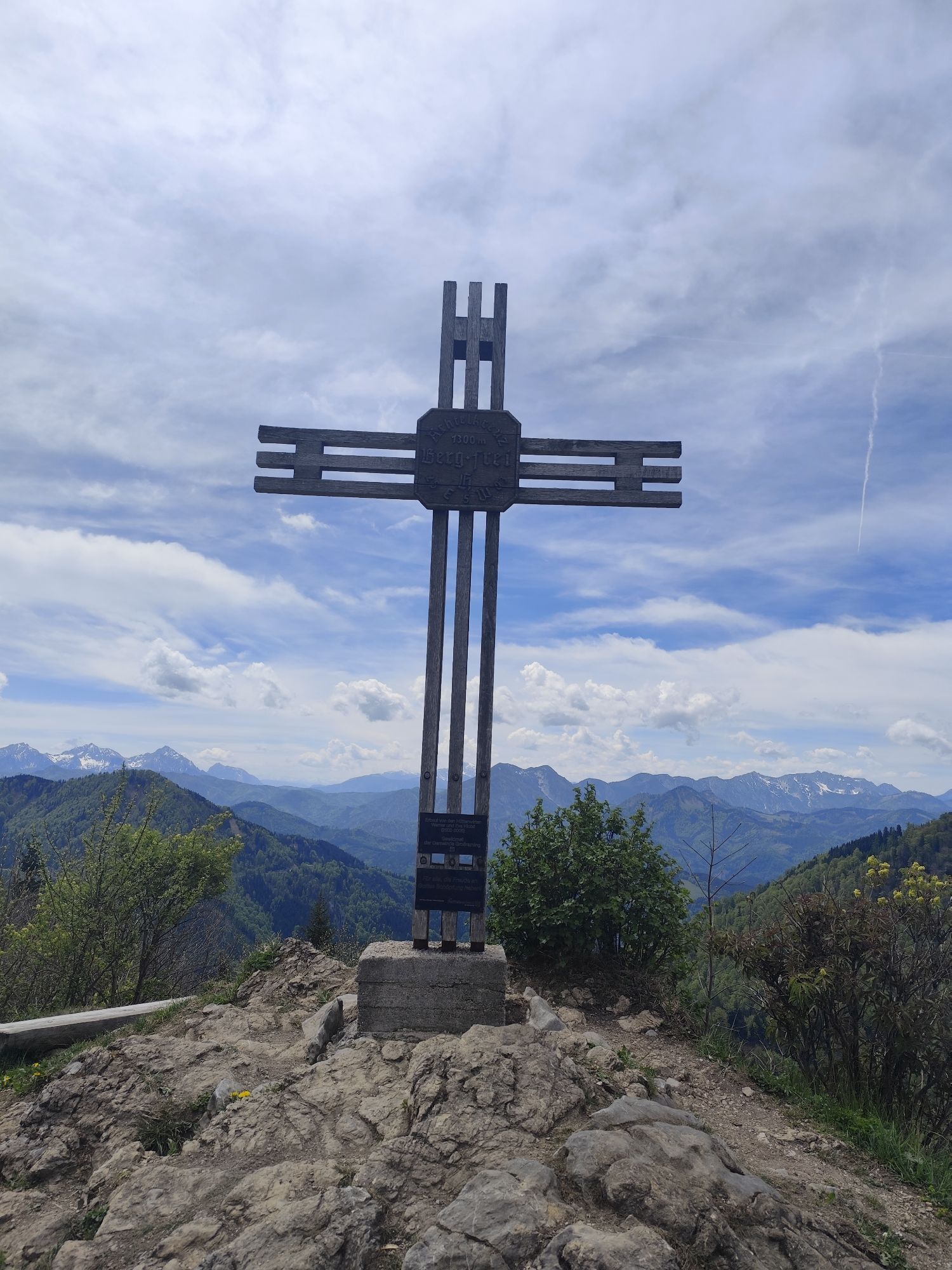
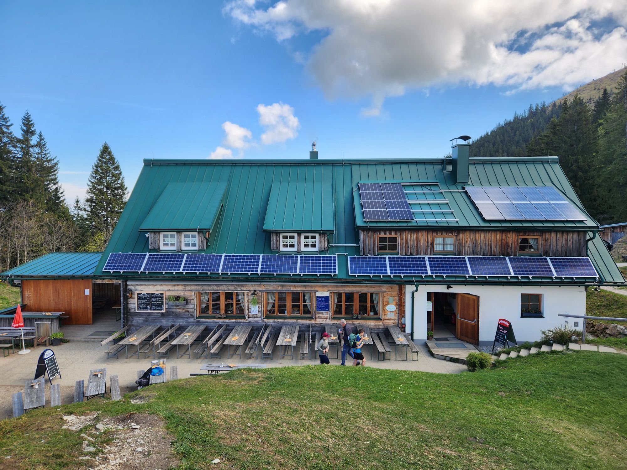
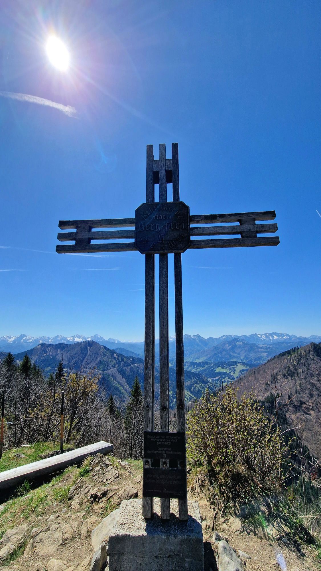
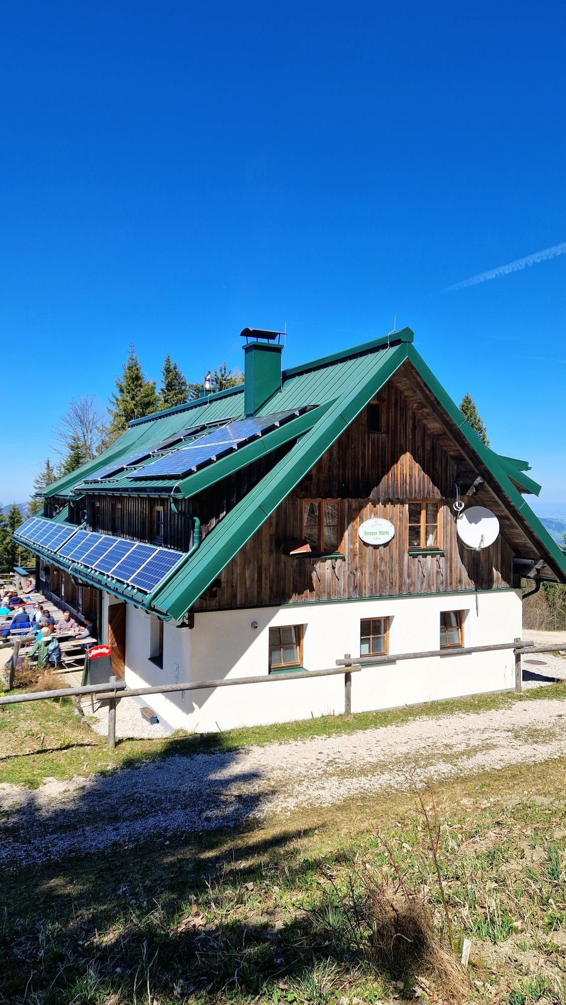
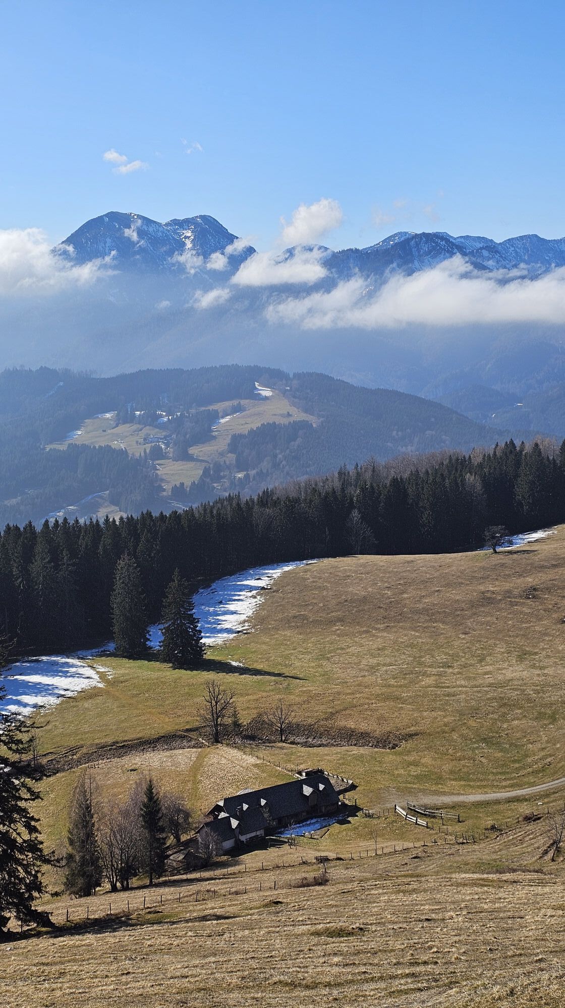
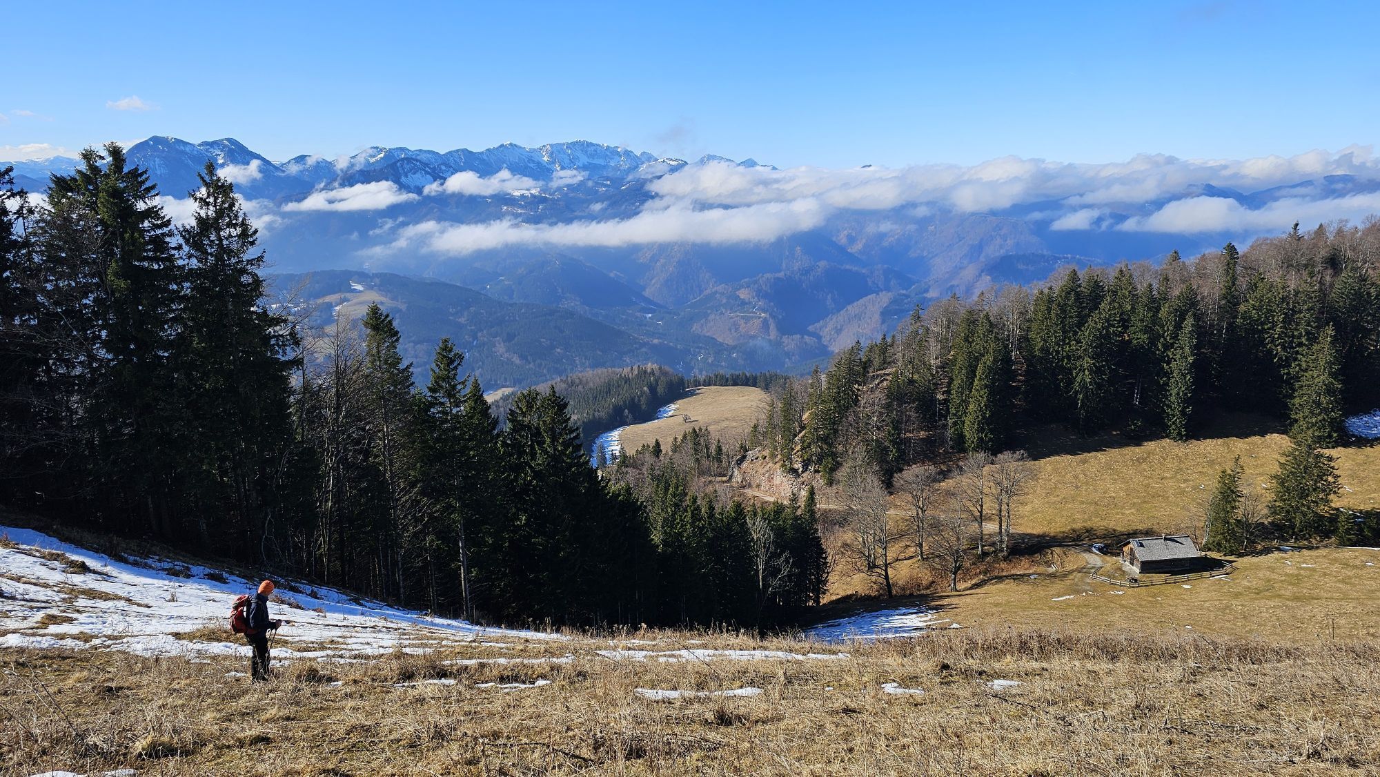
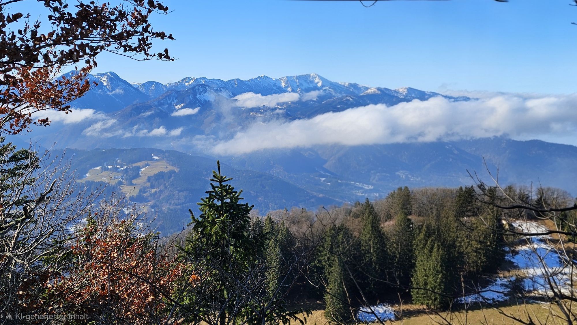
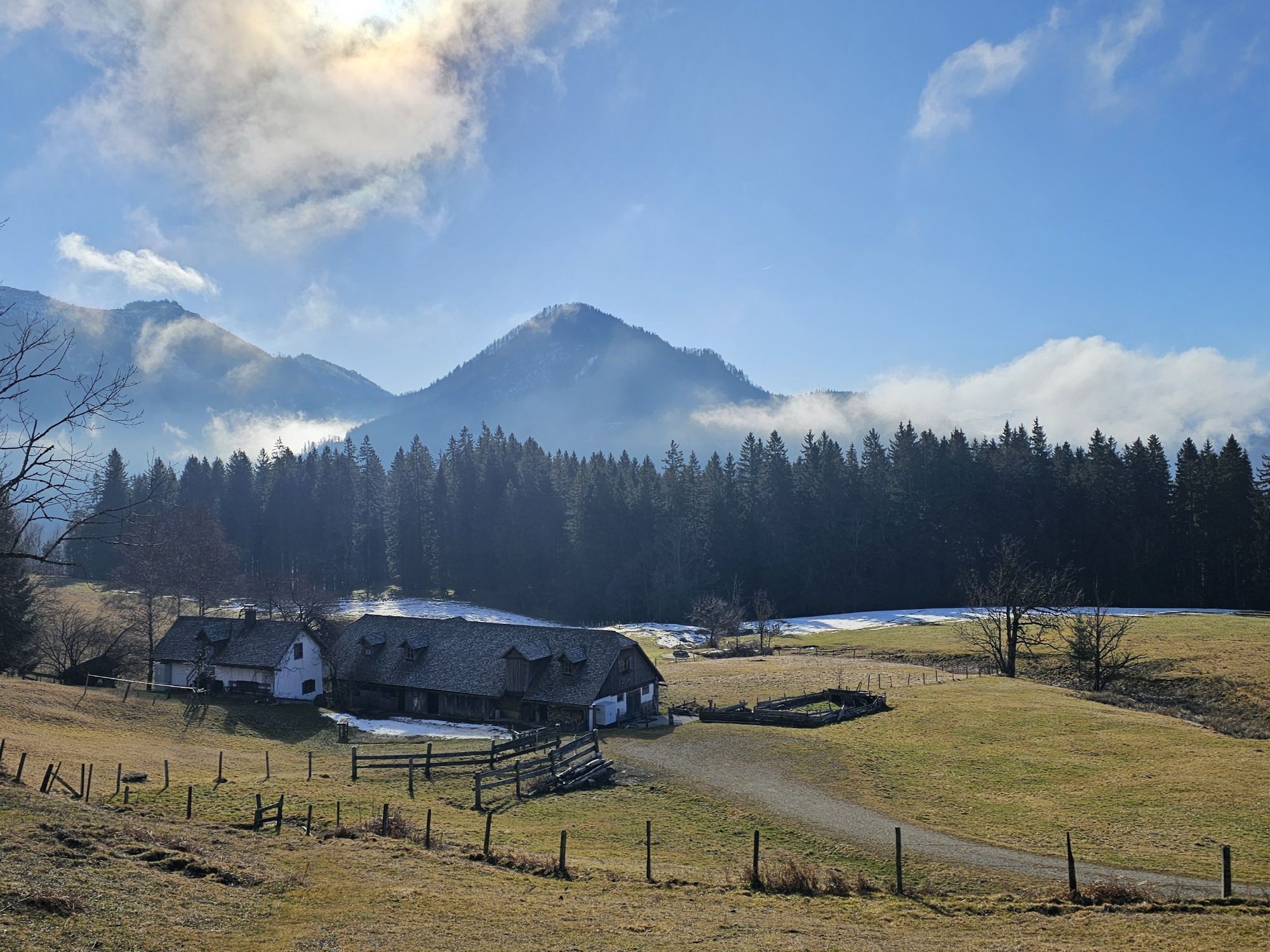
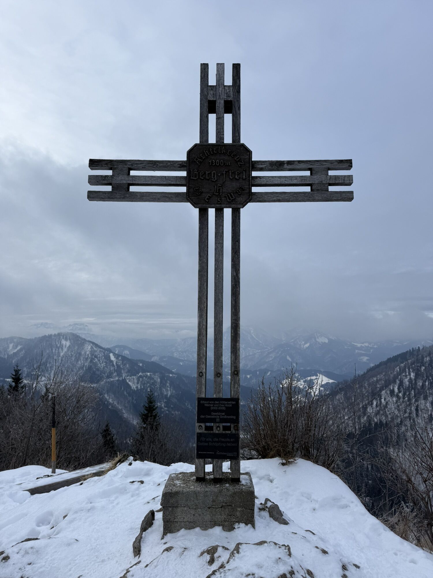
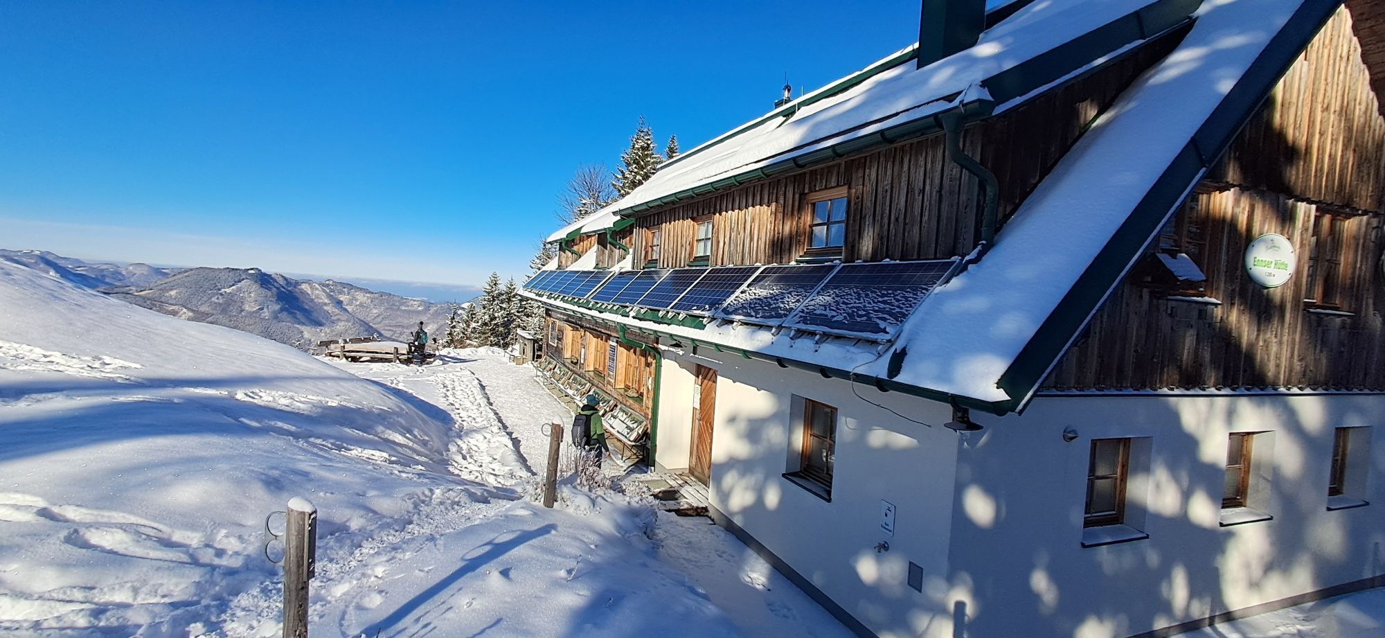
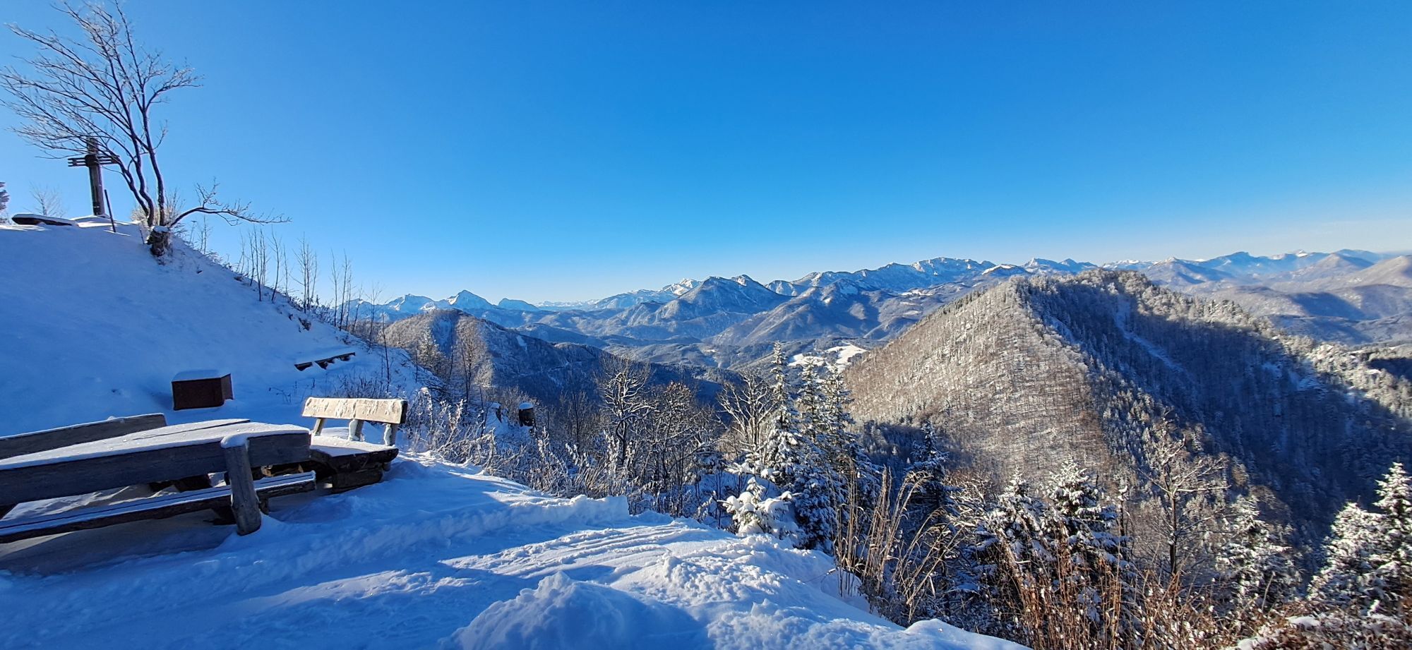
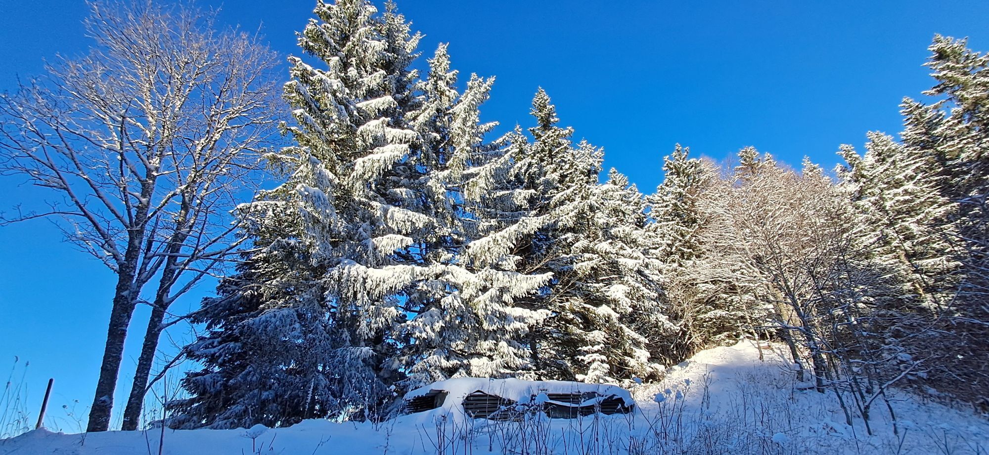
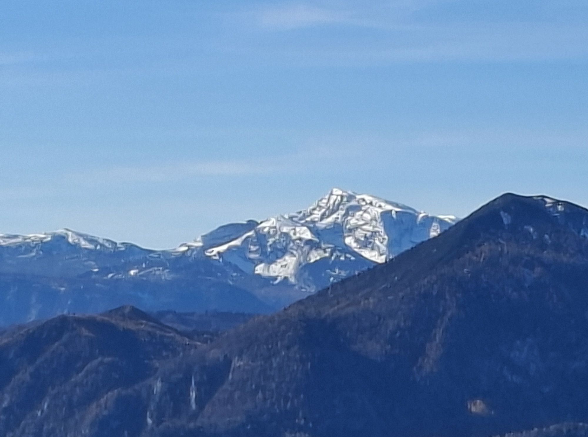
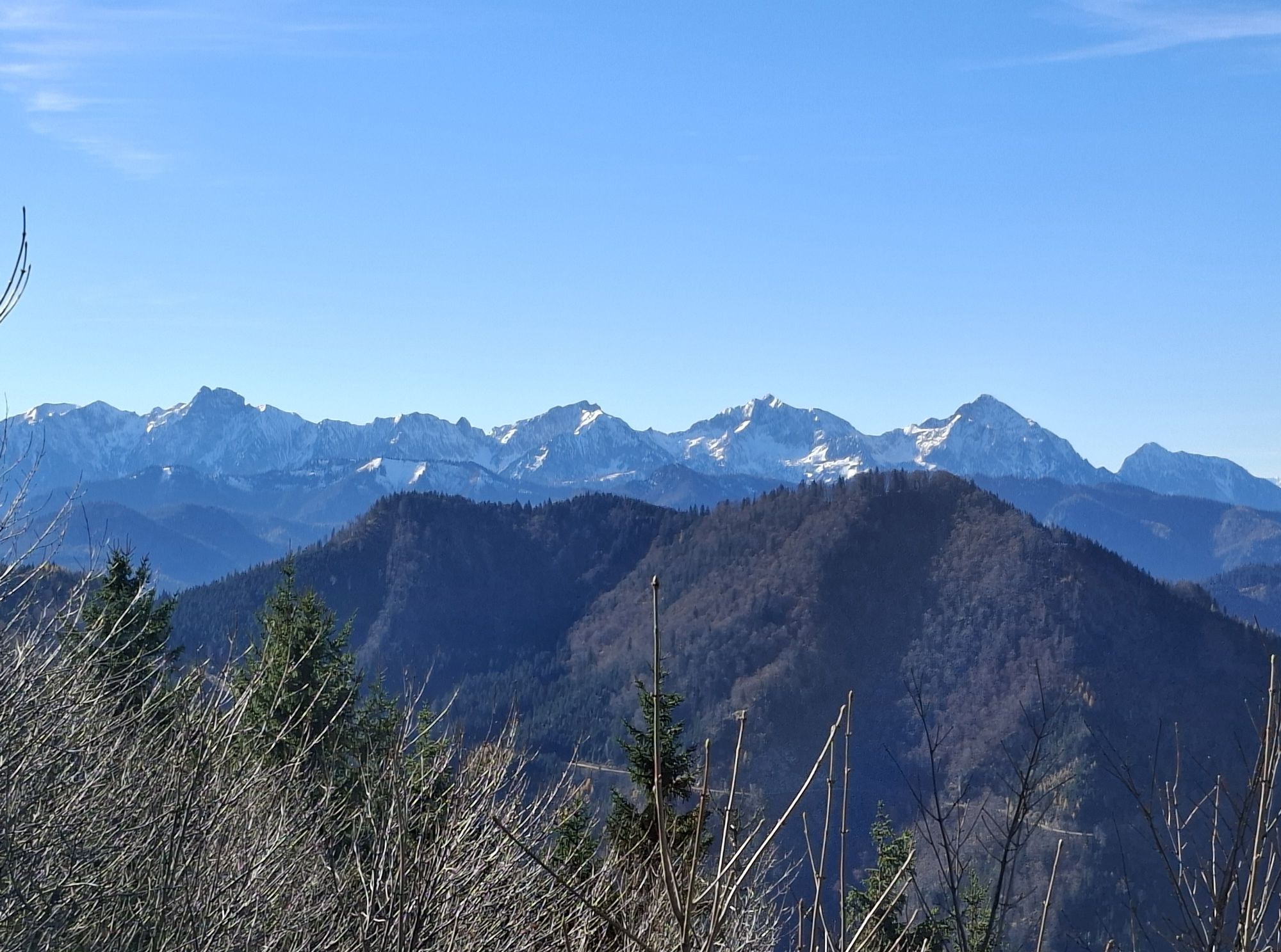
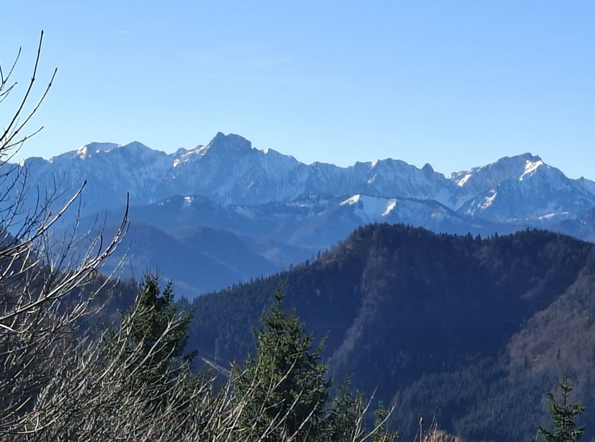
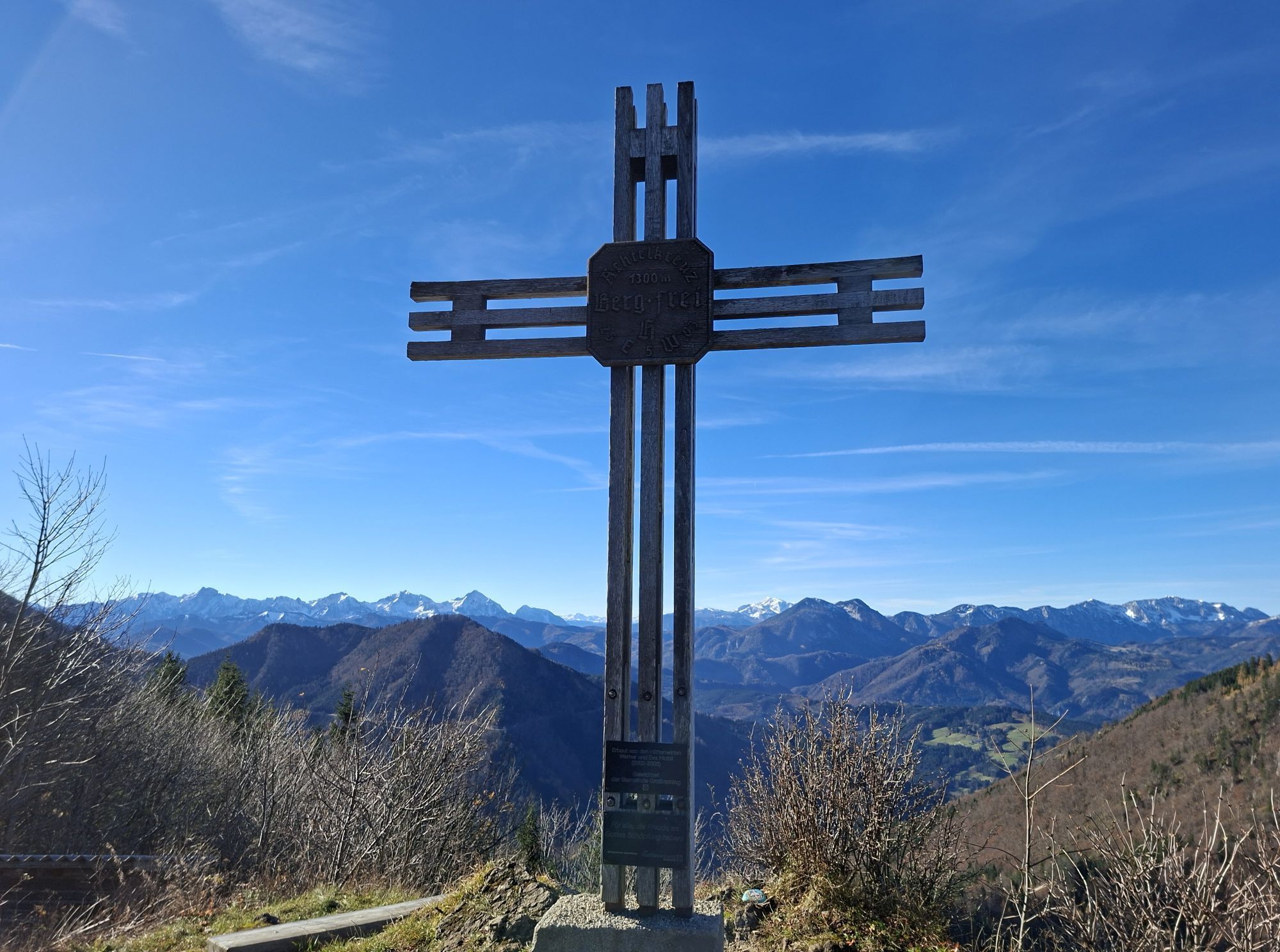
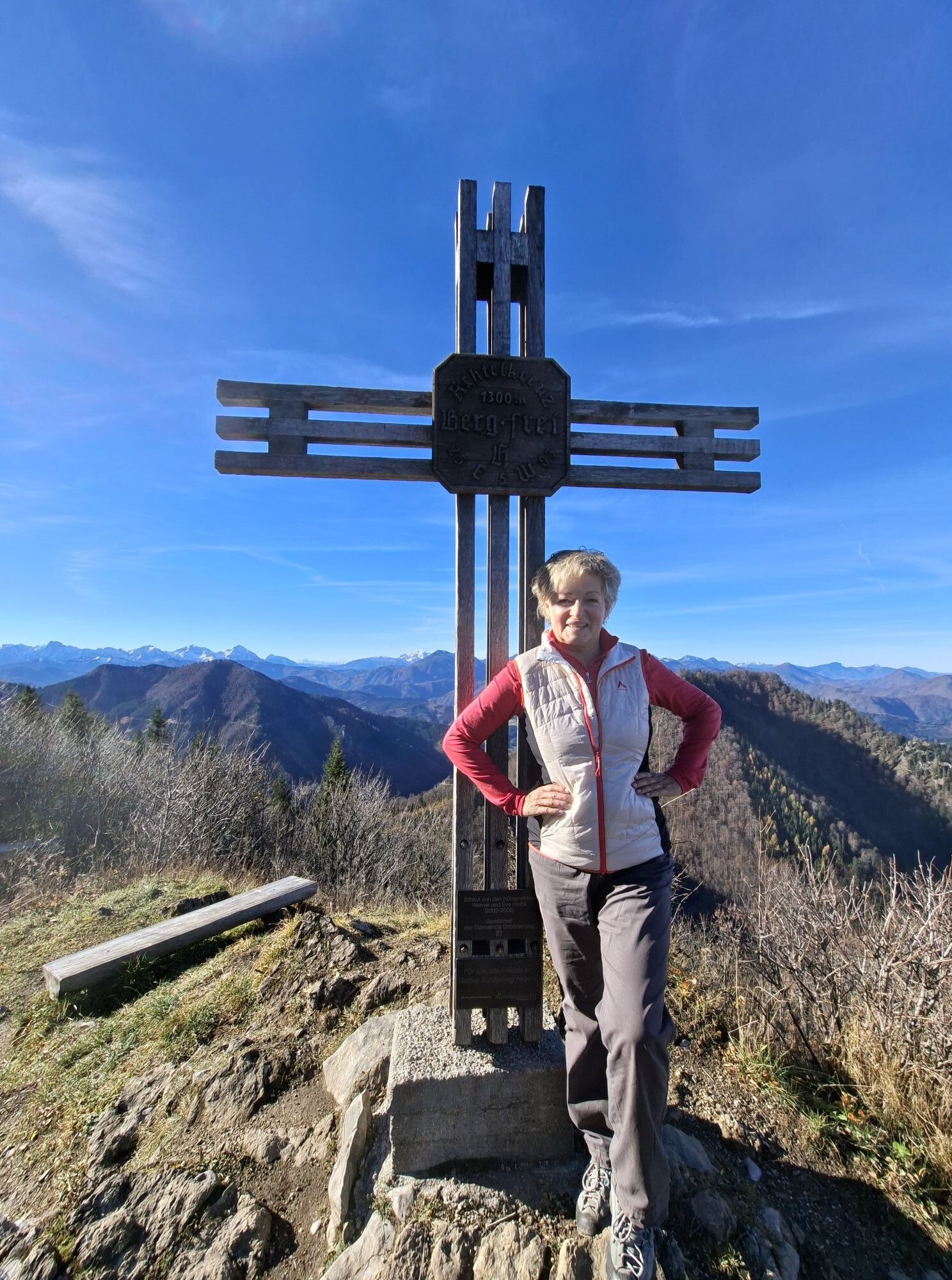
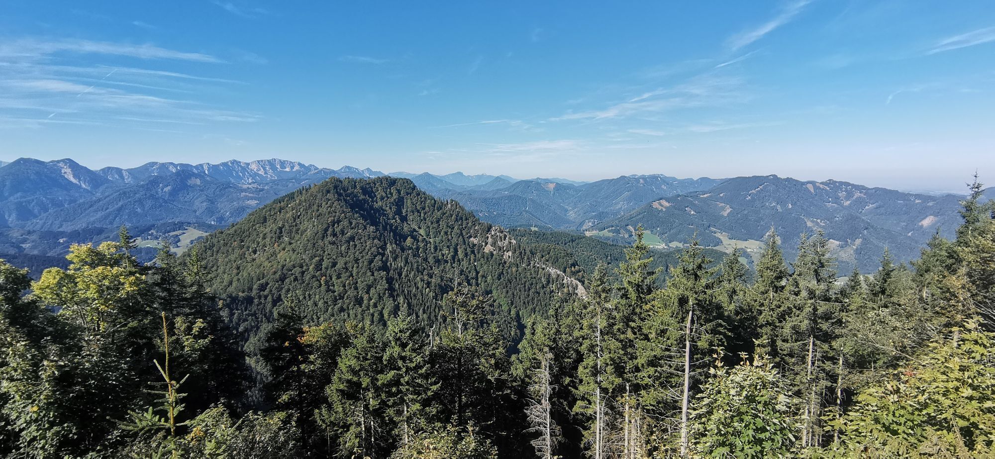
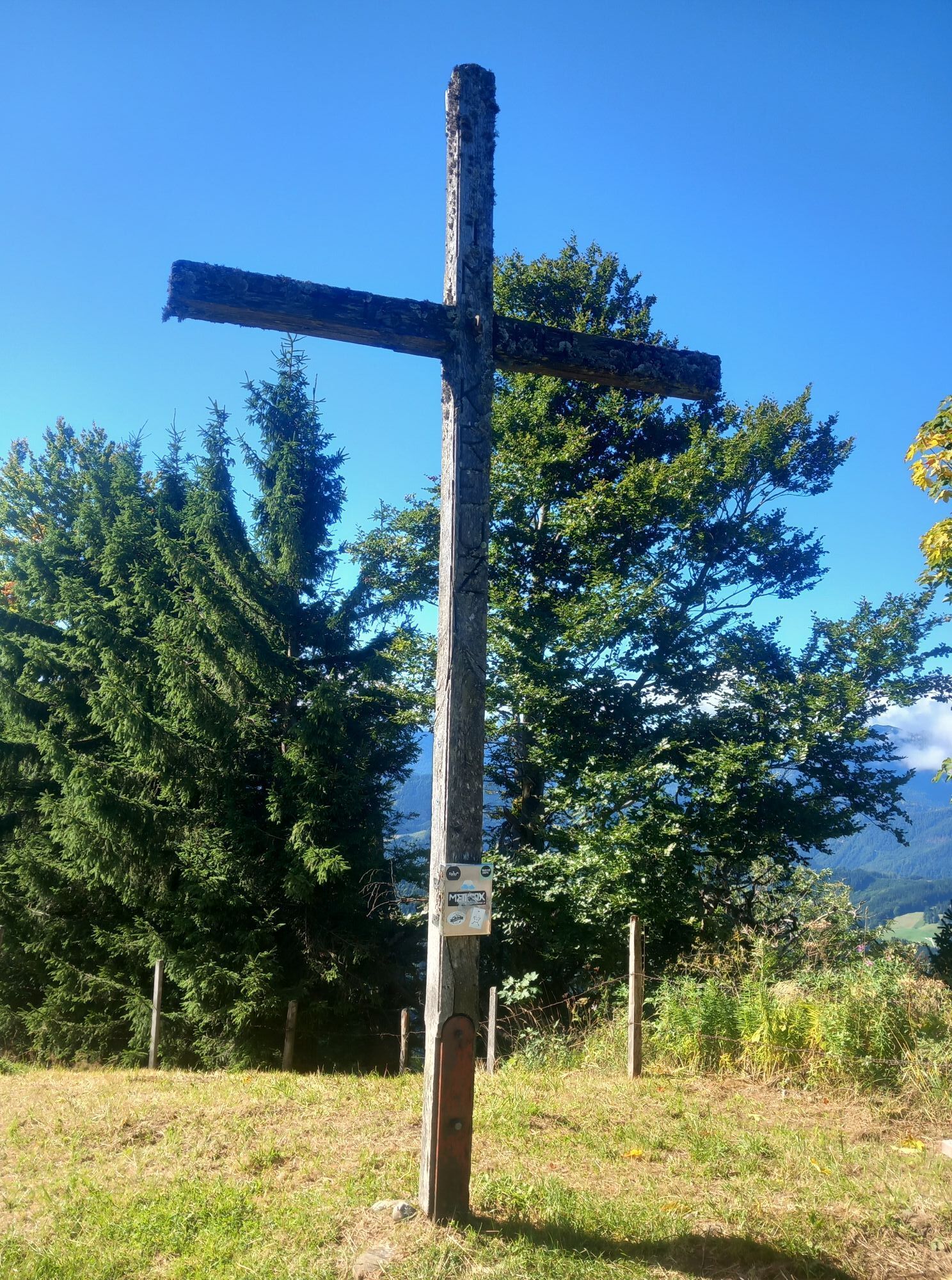
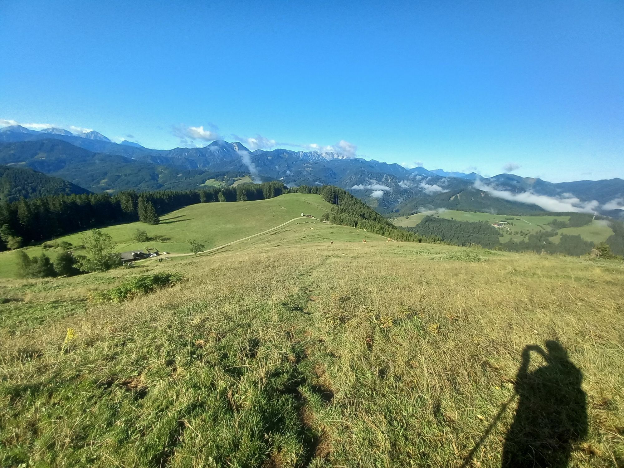
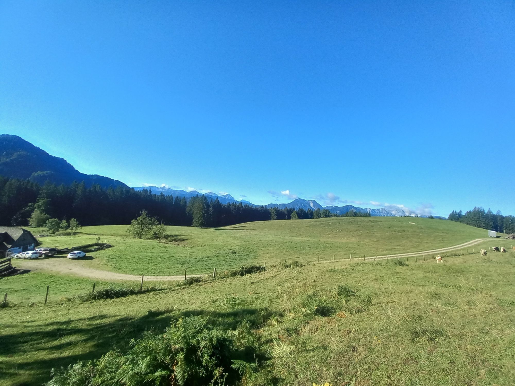
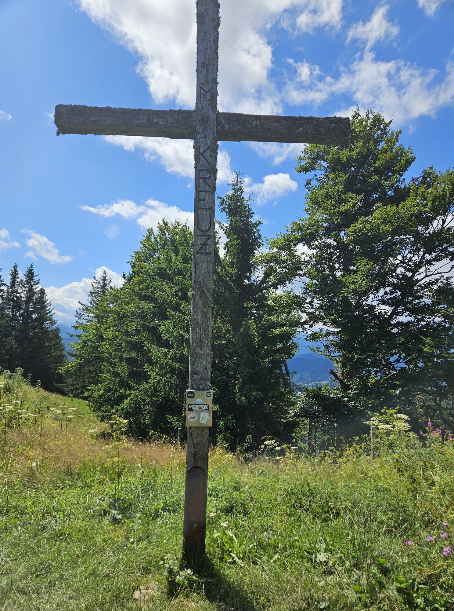
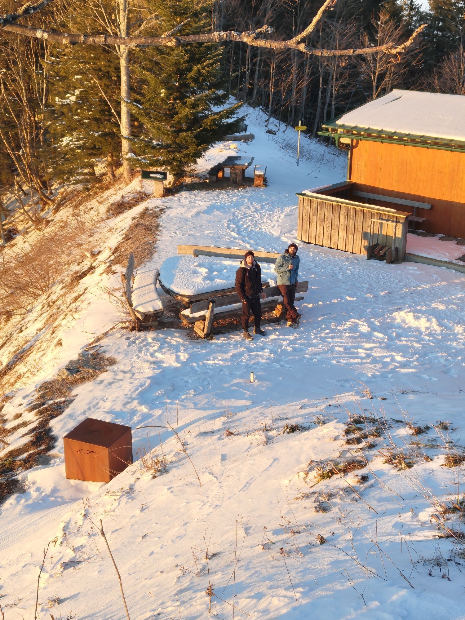
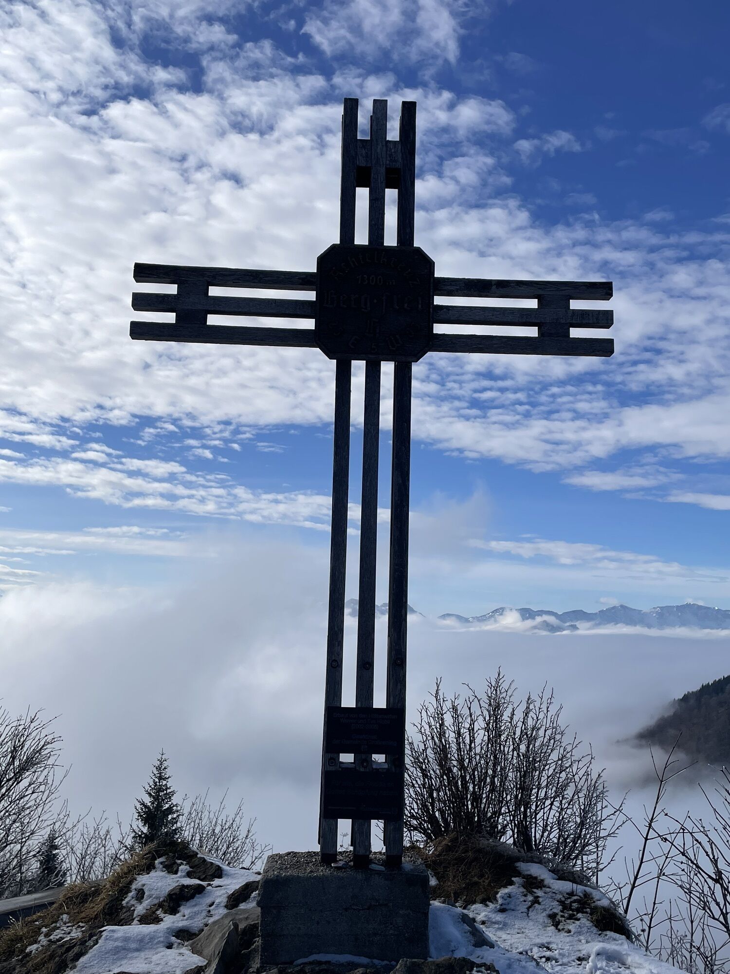
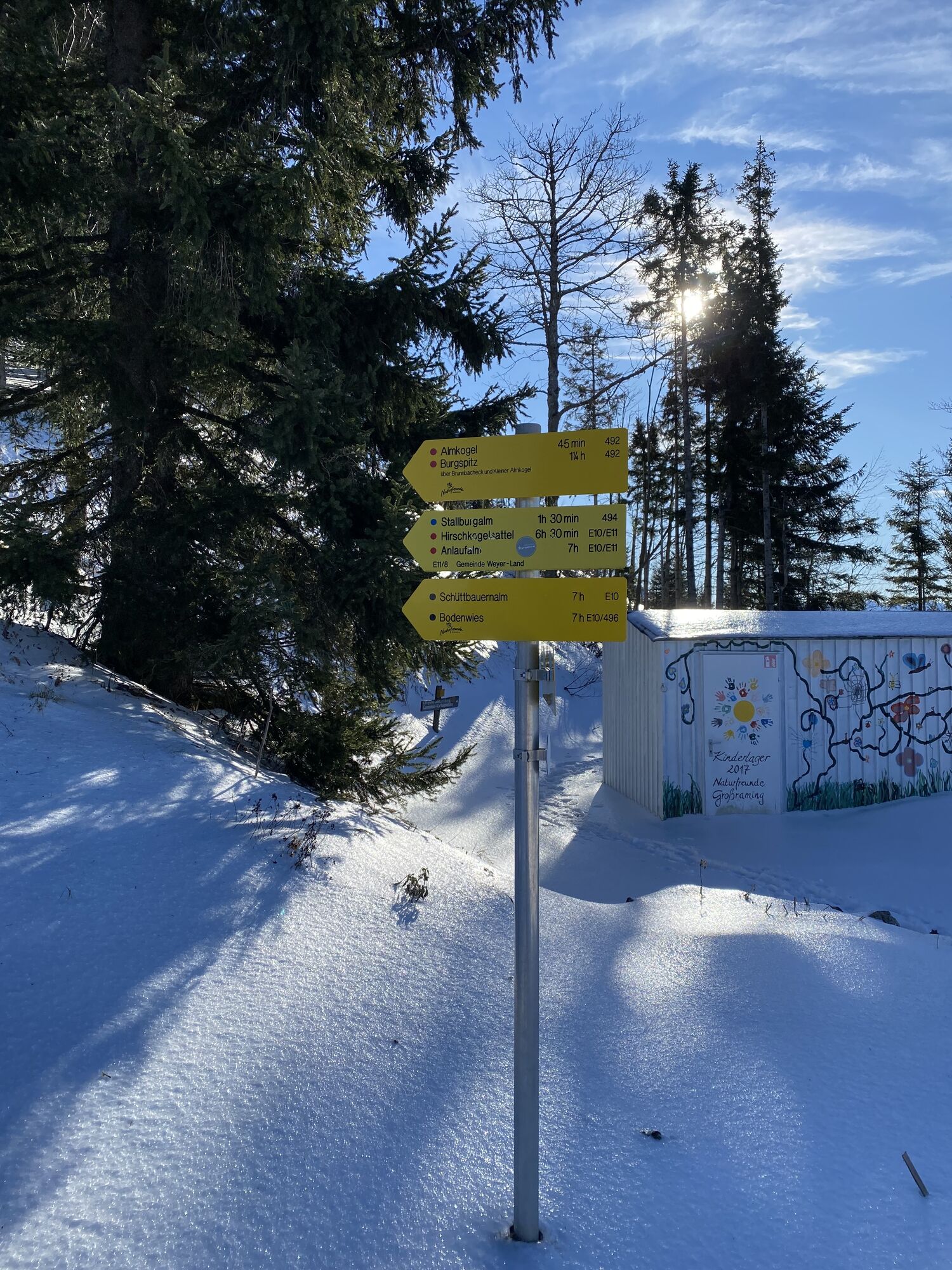
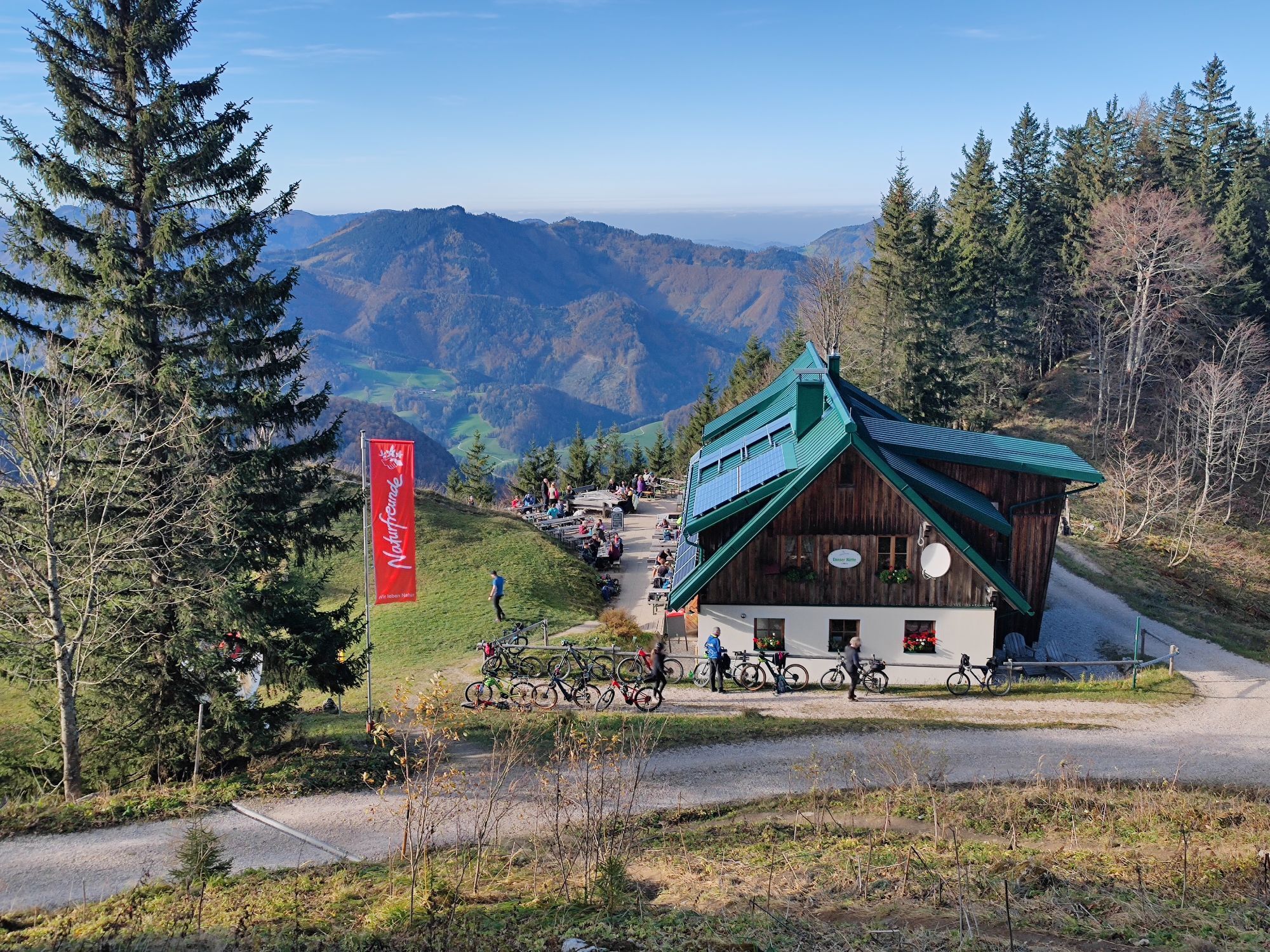
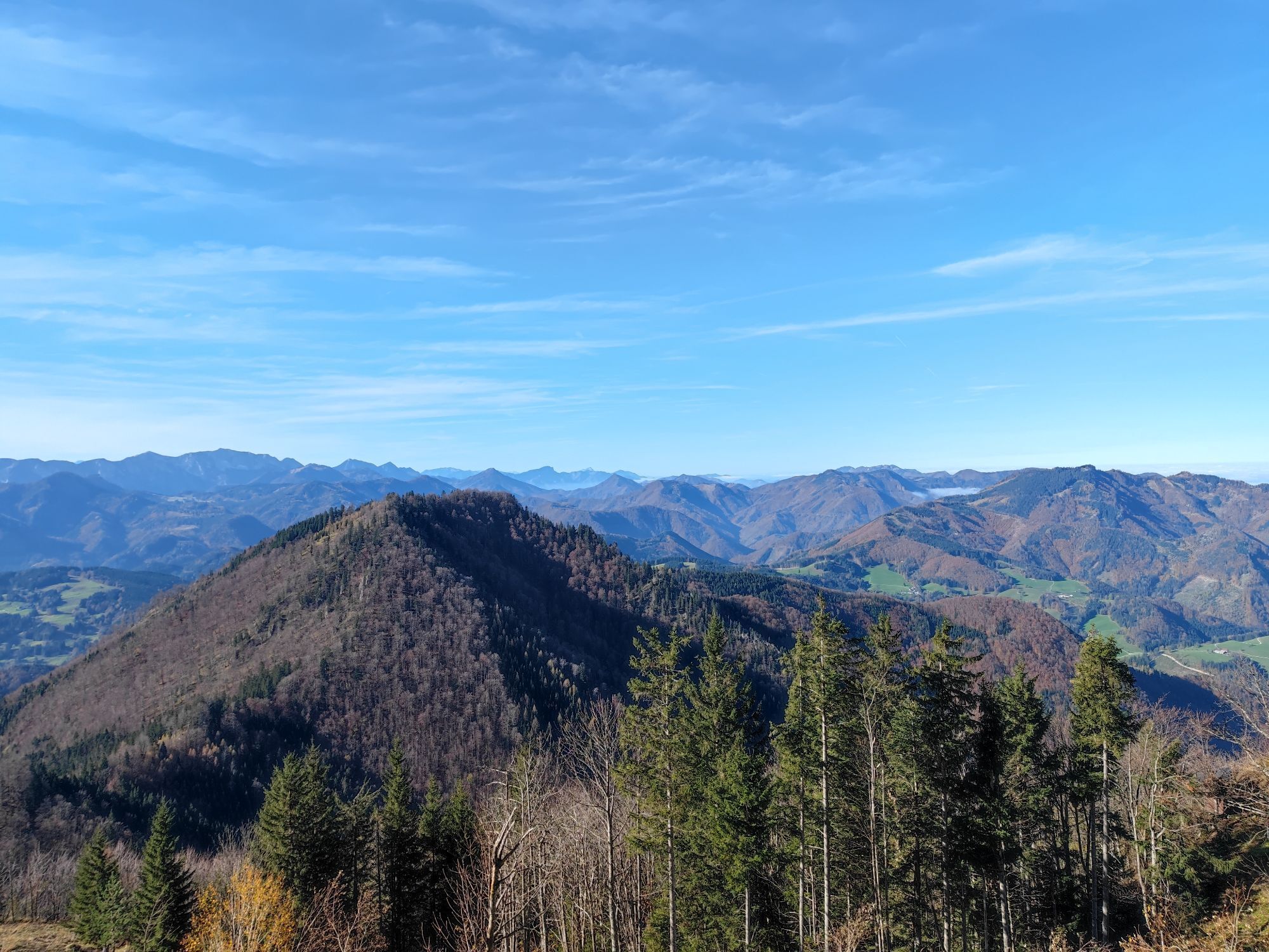
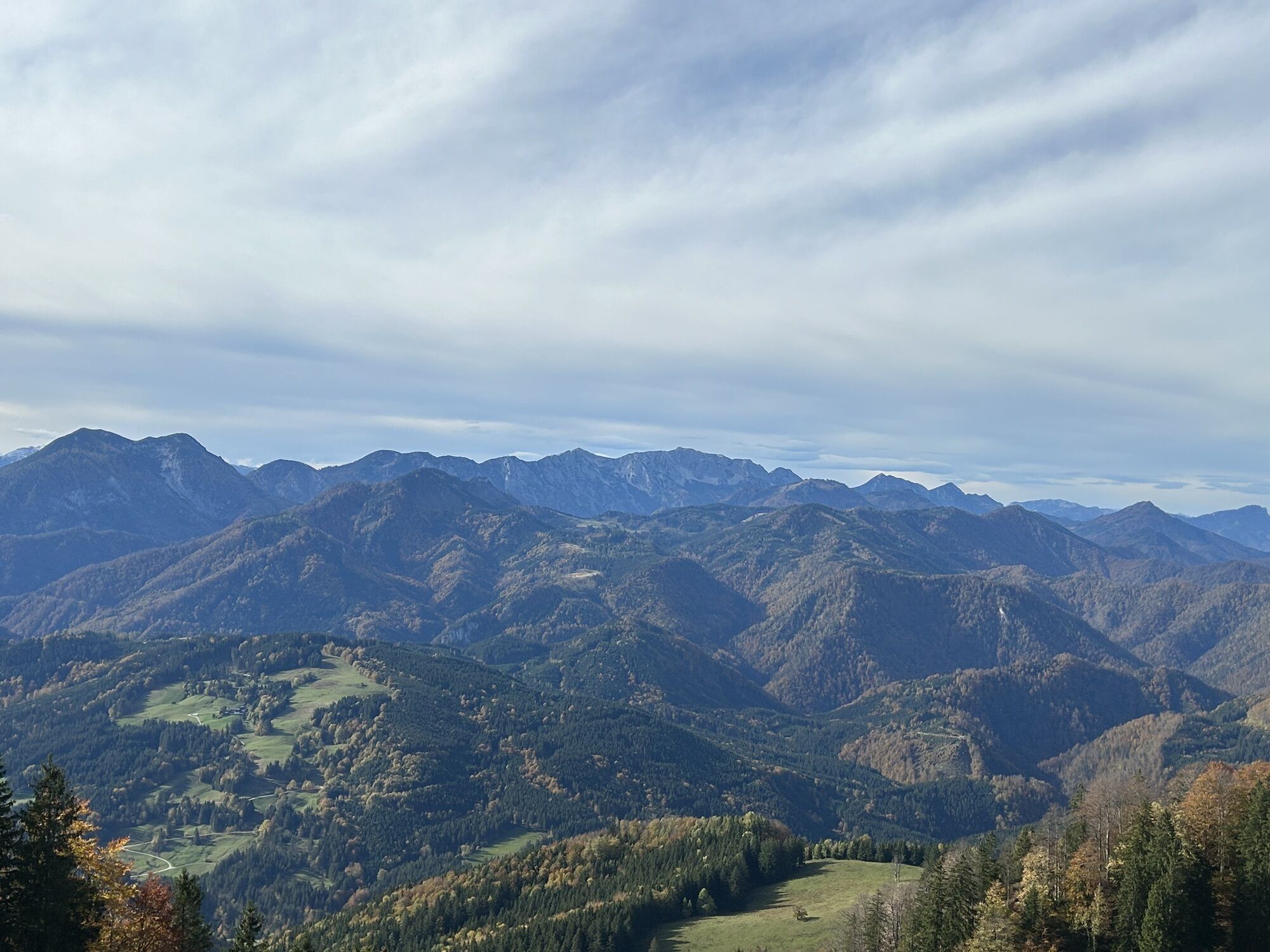
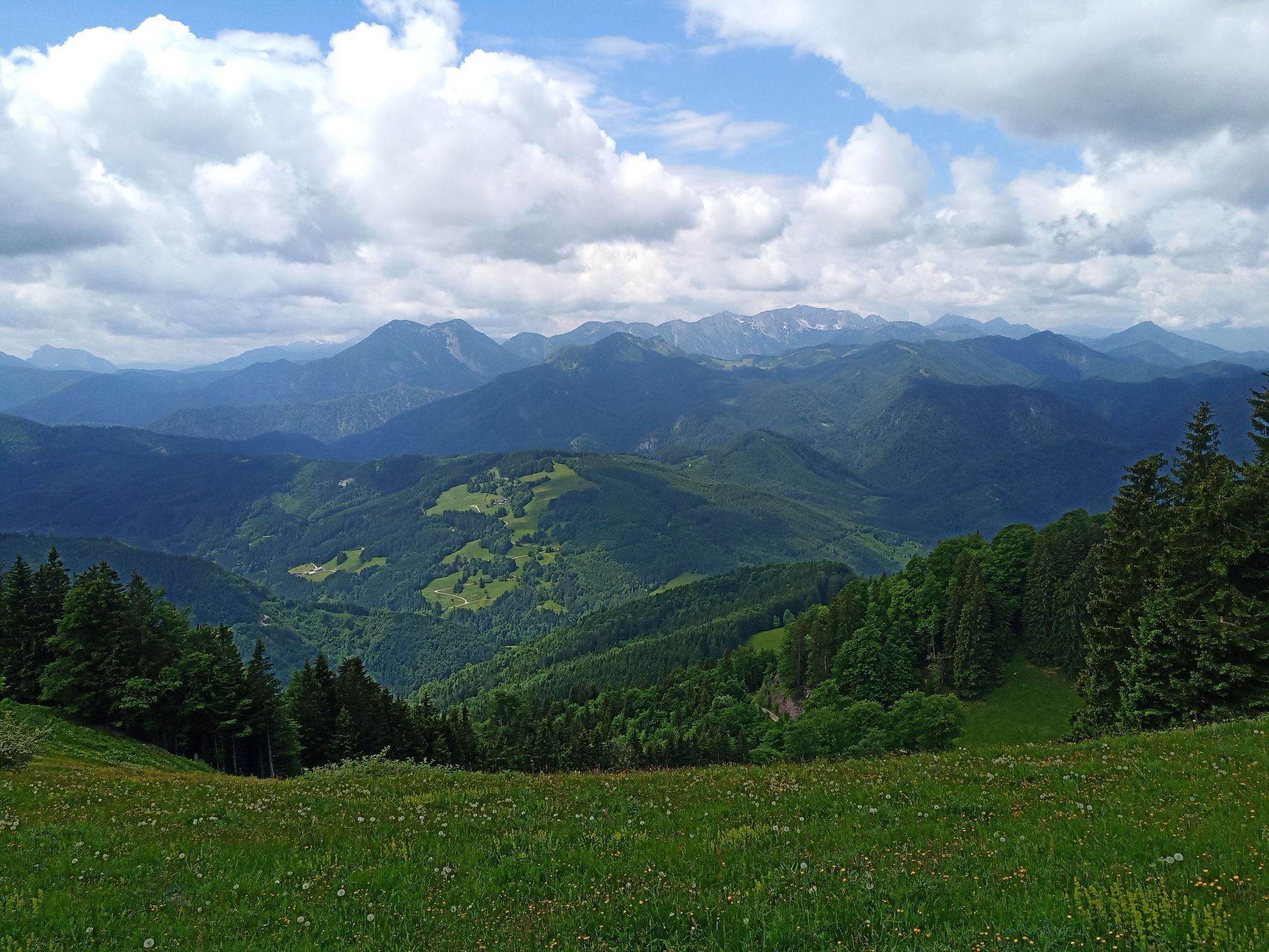
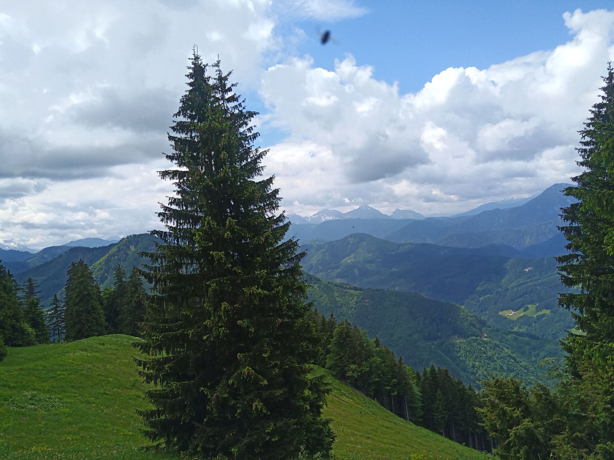
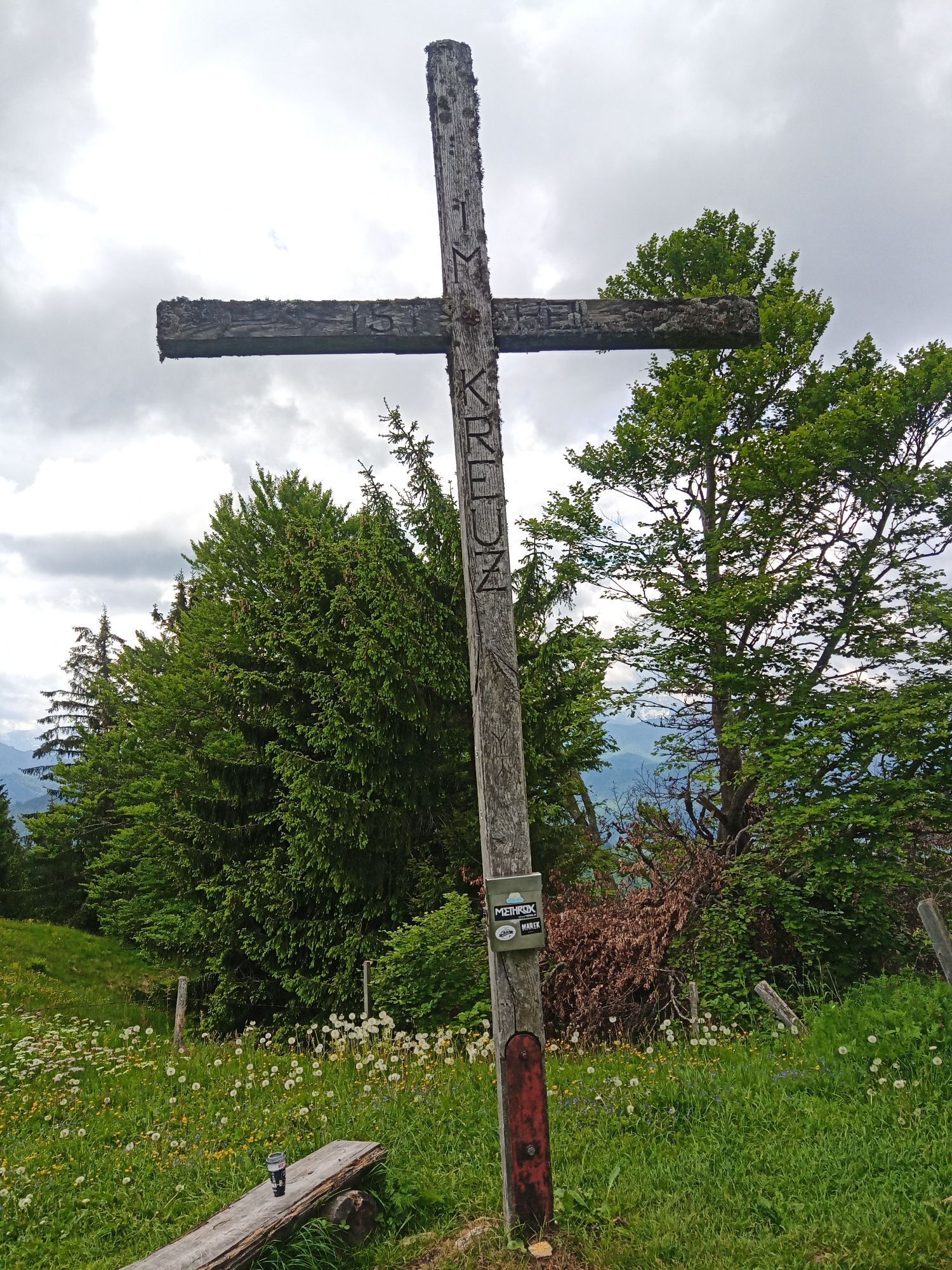
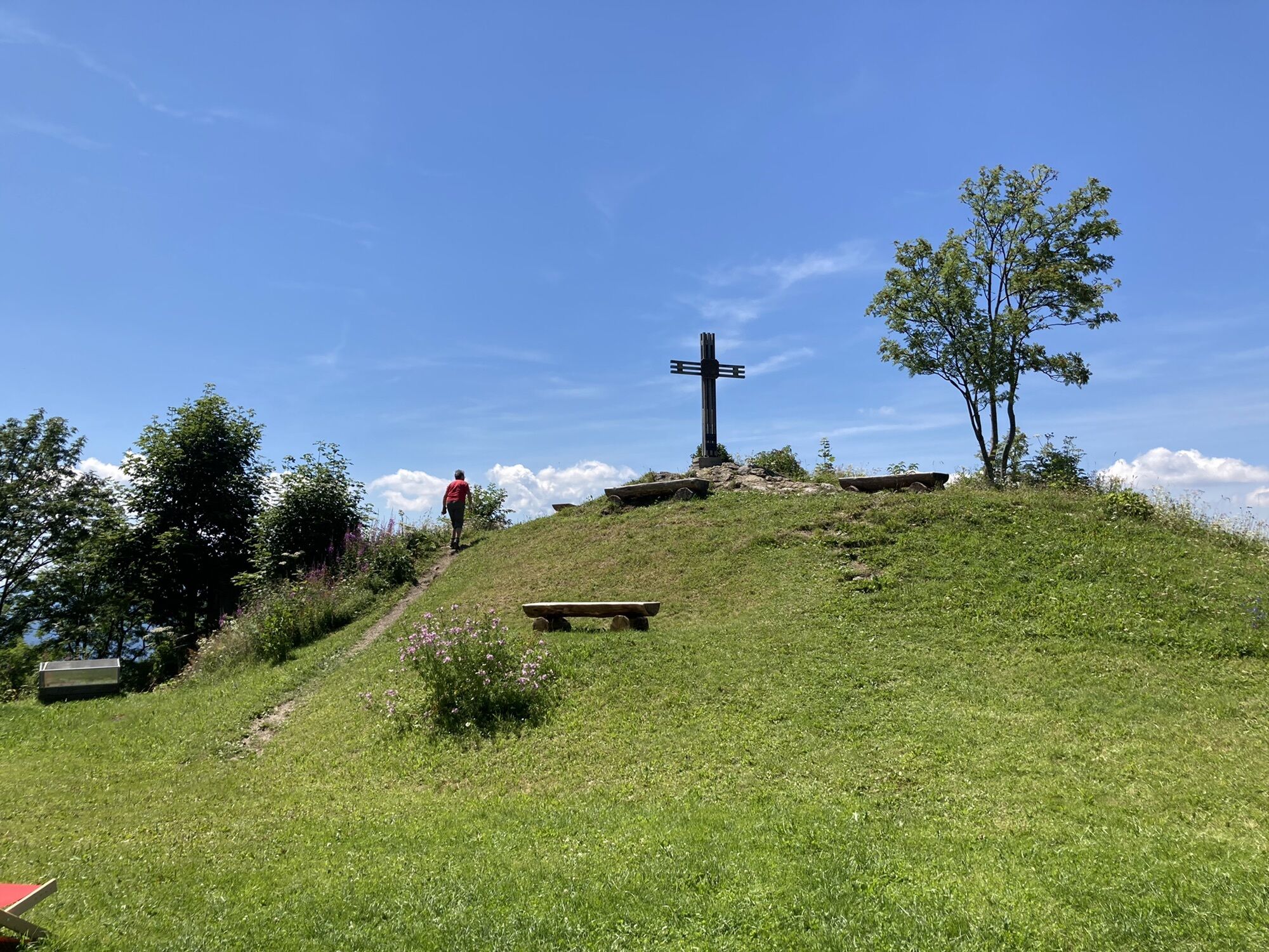
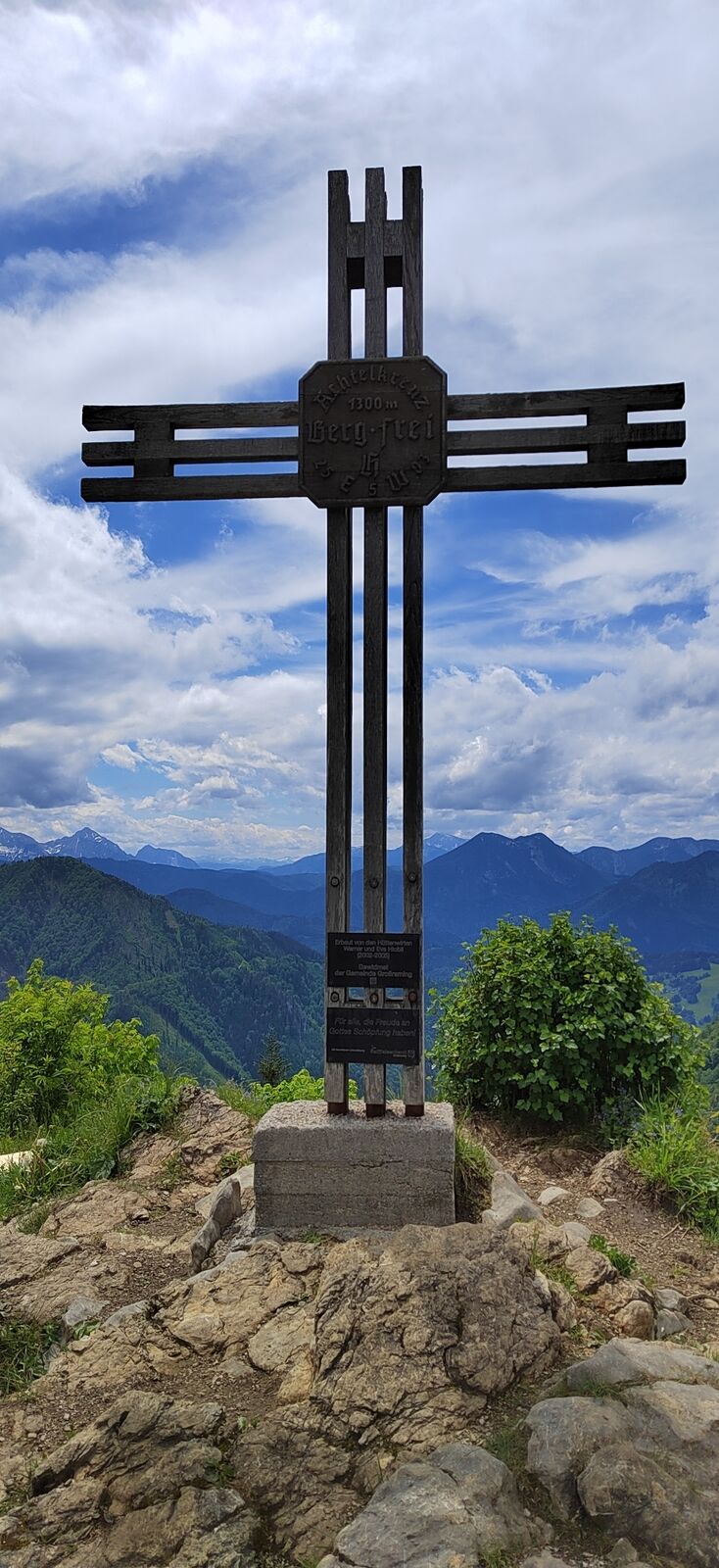
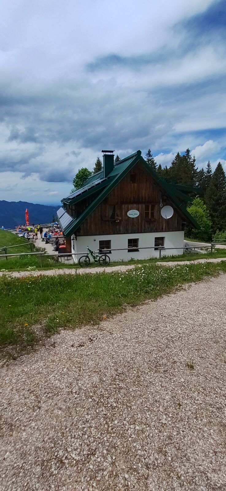
The Danzersteig connects the Ennser Hut (1,293 m) with the Gschwendtalm (954 m) via the Ninahütte or via the path by the cable car, Blaulucke and Gamsstein (1,275 m).
Hiking trail: 492a

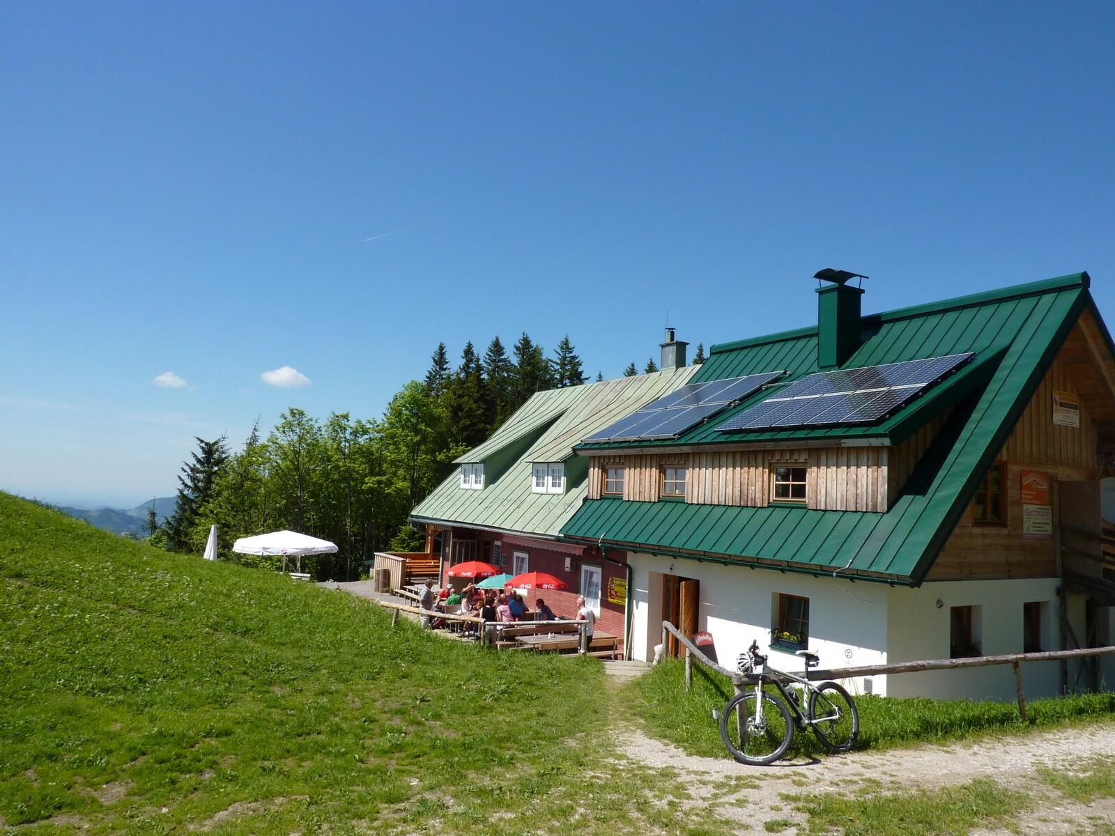
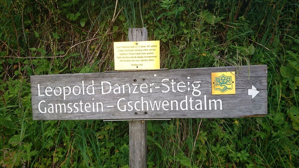
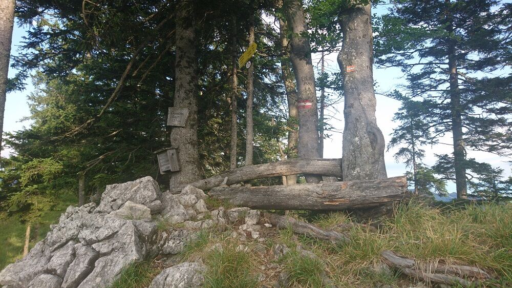
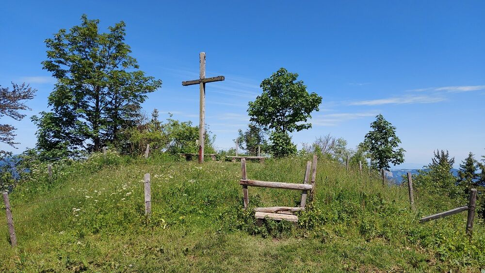
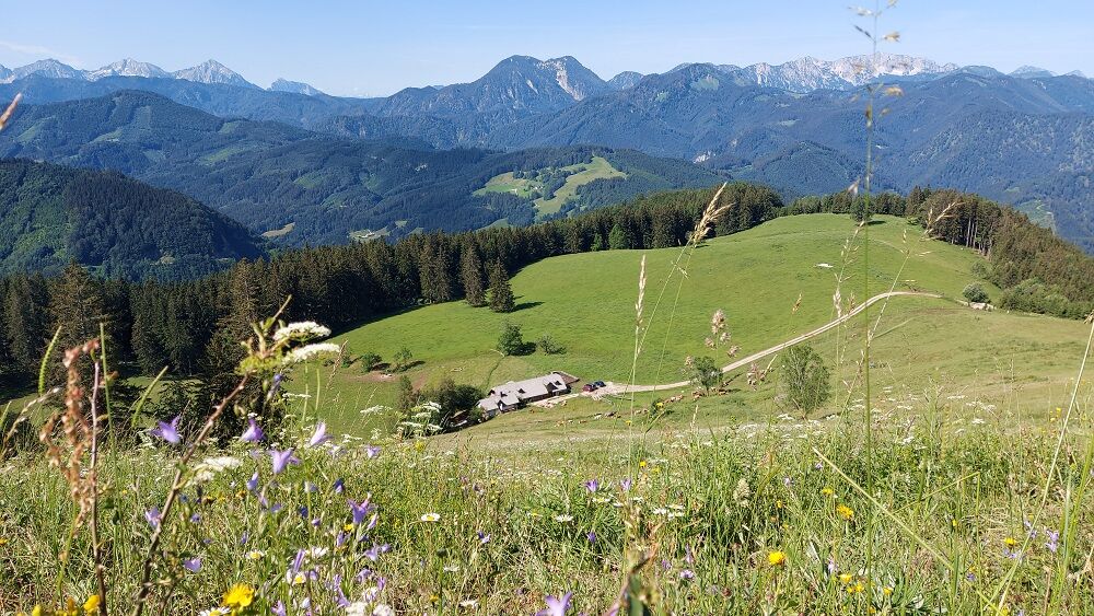

From the Ennser Hut, the Danzersteig leads towards the cable car and then down the path. Over the Blaulucke you reach the opposite slope. After a steep ascent, you continue along the mountain ridge to the Gamsstein. After a short section back, the path goes right through forests and over the alpine pasture down to the Gschwendtalm.
Basically the path is steep but relatively easy to walk. Only for a few meters does the path lead over a rock with cable protection (sure-footedness required).
From Vienna: A1 motorway exit Haag > B42 > B122 > B115 into the Enns Valley
From Passau: A8 Passau > Wels > A1 motorway exit Enns-Steyr > B115 into the Enns Valley
From Graz: A9 Pyhrnautobahn > motorway exit Klaus > Grünburg > into the Ennstal Valley
Details at www.ooevv.at
Railway Stations are located in Steyr, Garsten, Lahrndorf, Dürnbach, Ternberg, Trattenbach, Losenstein, Reichraming, Großraming, Gaflenz, Weyer, Küpfern, Kastenreith, Kleinreifling and Weißenbach-St. Gallen.
Großraming/Bamacher car park or Gschwendthöhe car park
Popularne wycieczki w okolicy
-
4,9
Ennser Hut - Almkogel (from Bamacher car park)
średniWędrówka 3,53 km -
3,9
Wasserklotz
średniWędrówka 5,81 km -
4,8
Steinerner Jäger (1185m) und Schieferstein (1206m) ab Parkplatz Hochhabichler
średniWędrówka 4,46 km -
4,7
Steinerner Jäger (1185m) und Schieferstein (1206m) ab Parkplatz Hack
ciężkiWędrówka 8,58 km -
4,7
GROSSRAMING Bamacher, Burgspitz, Almkogel, Ennshütte 20240730
średniWędrówka 10 km -
4,4
Kleine Gipfelrunde Glasenberg
światłoWędrówka 4,99 km -
4,6
Gamsstein (1275m) und Gschwendtalm ab Parkplatz Brunnbach
średniWędrówka 7,37 km -
4,3
Freithofberg
średniWędrówka 9,15 km -
4,7
MTB - Anlaufalm (über den Hintergebirgsradweg)
średniMountainbike 51,0 km -
4,6
Lindaumauer, Maria Neustift
średniWędrówka 5,53 km
Wędrówki i tropienie


Nie przegap ofert i inspiracji na następne wakacje
Twój adres e-mail została dodana do listy mailingowej.





