



MTB - Anlaufalm (über den Hintergebirgsradweg)

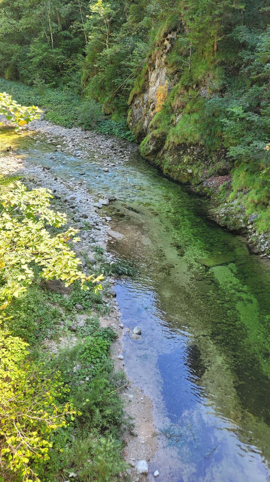
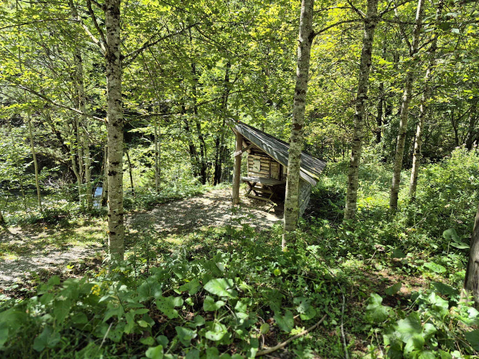
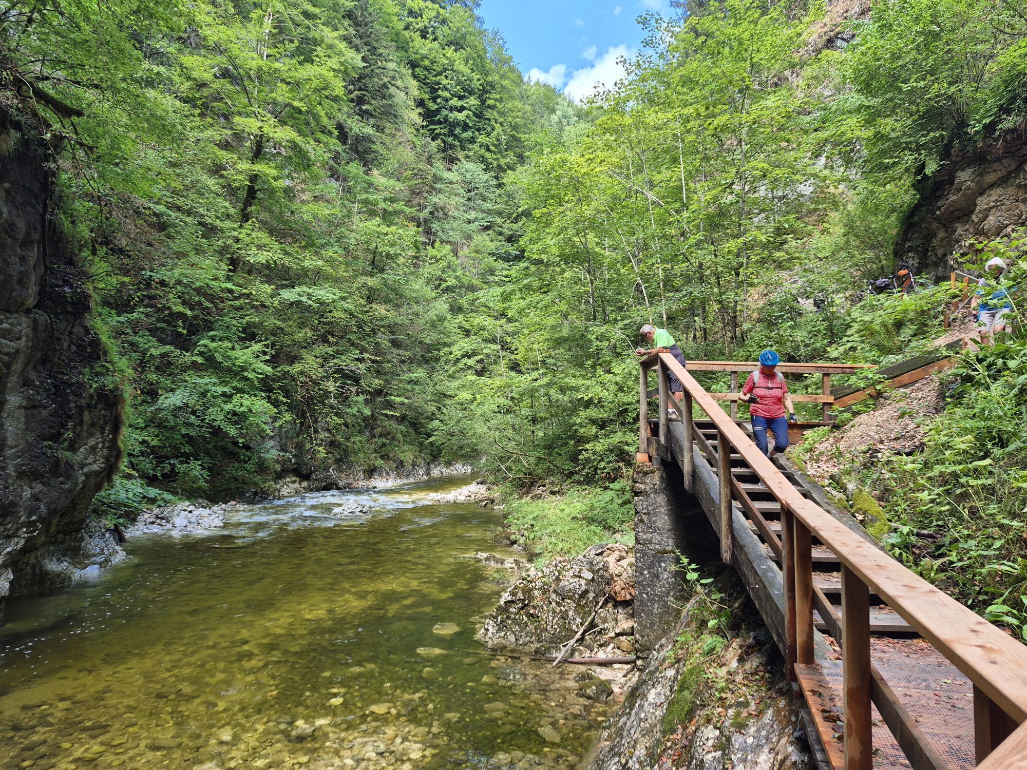
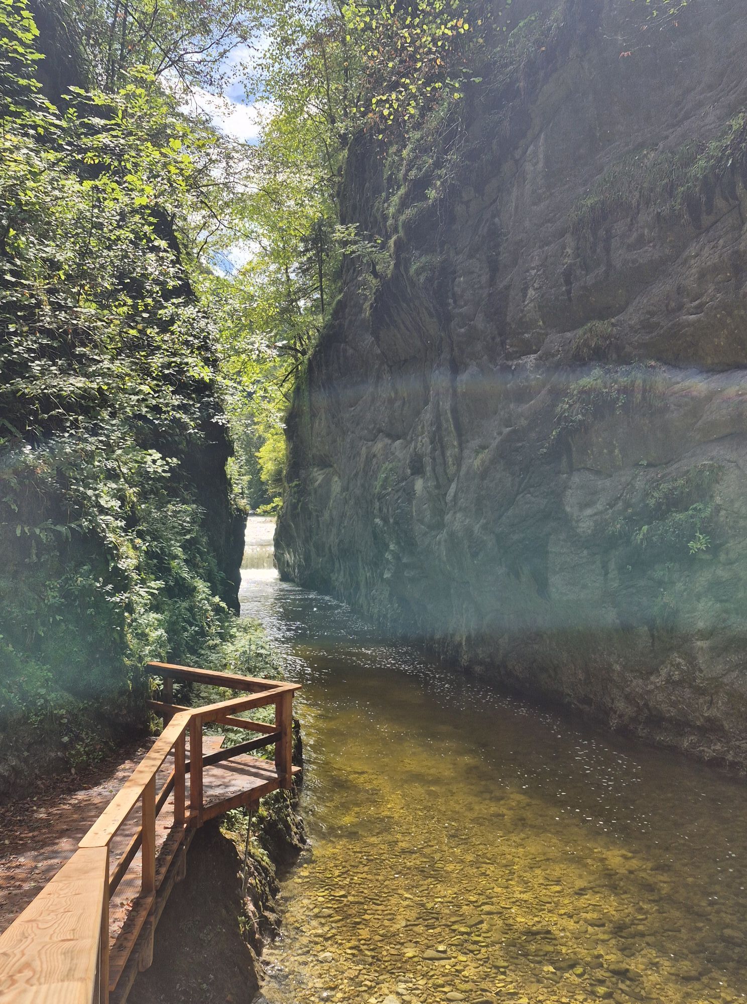
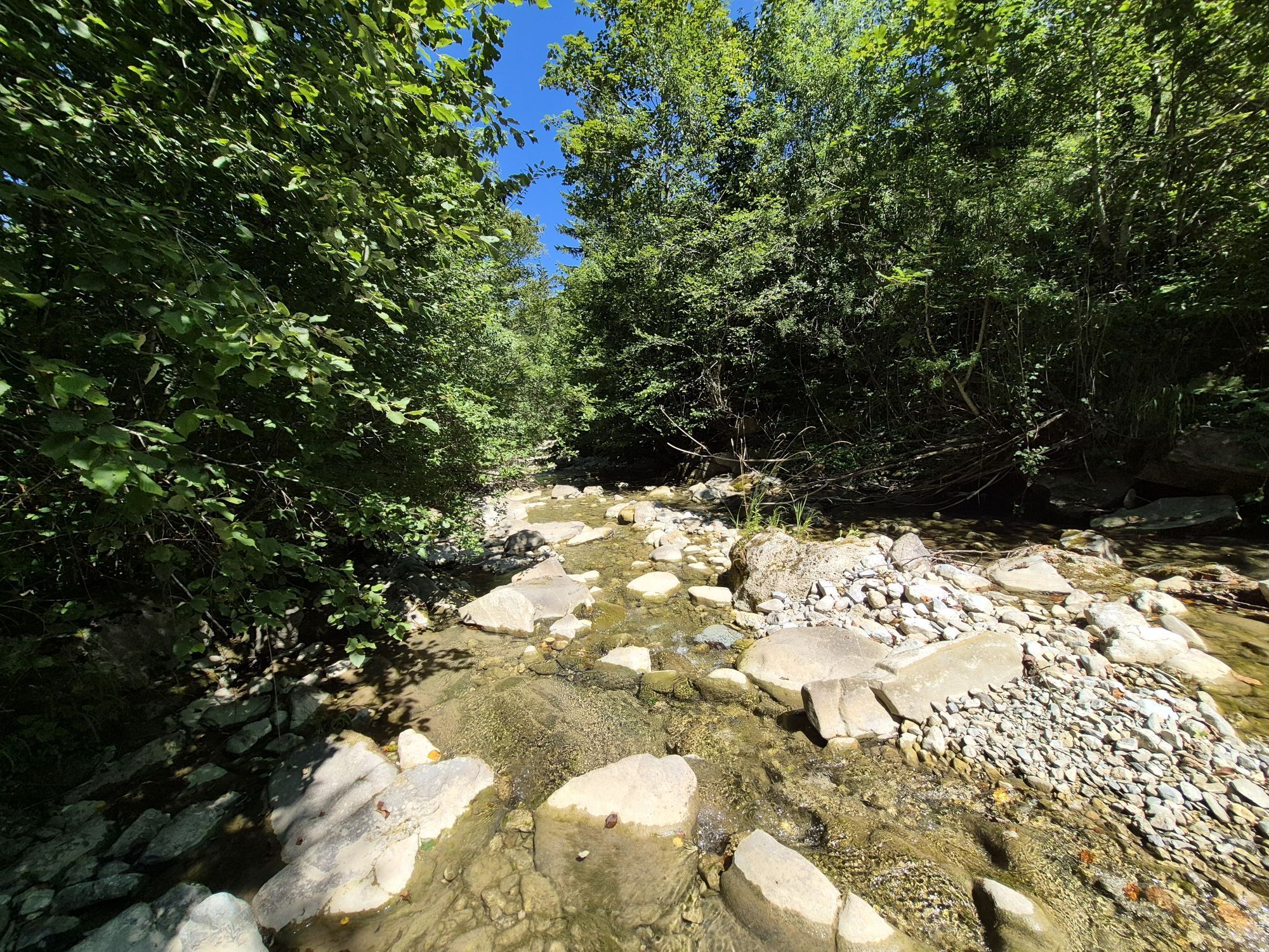
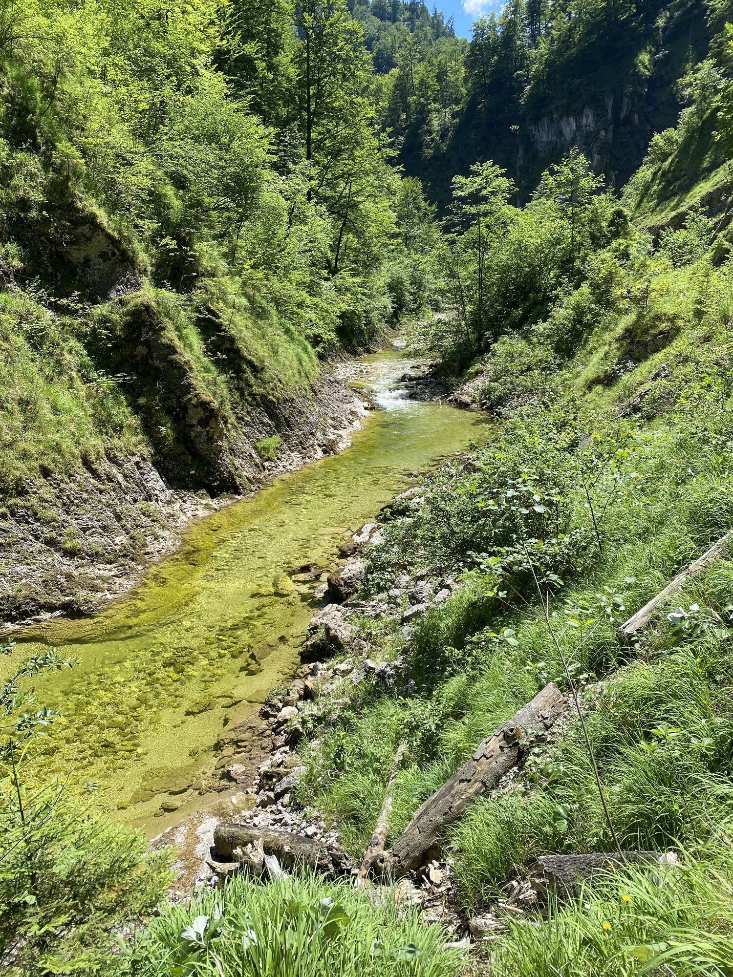
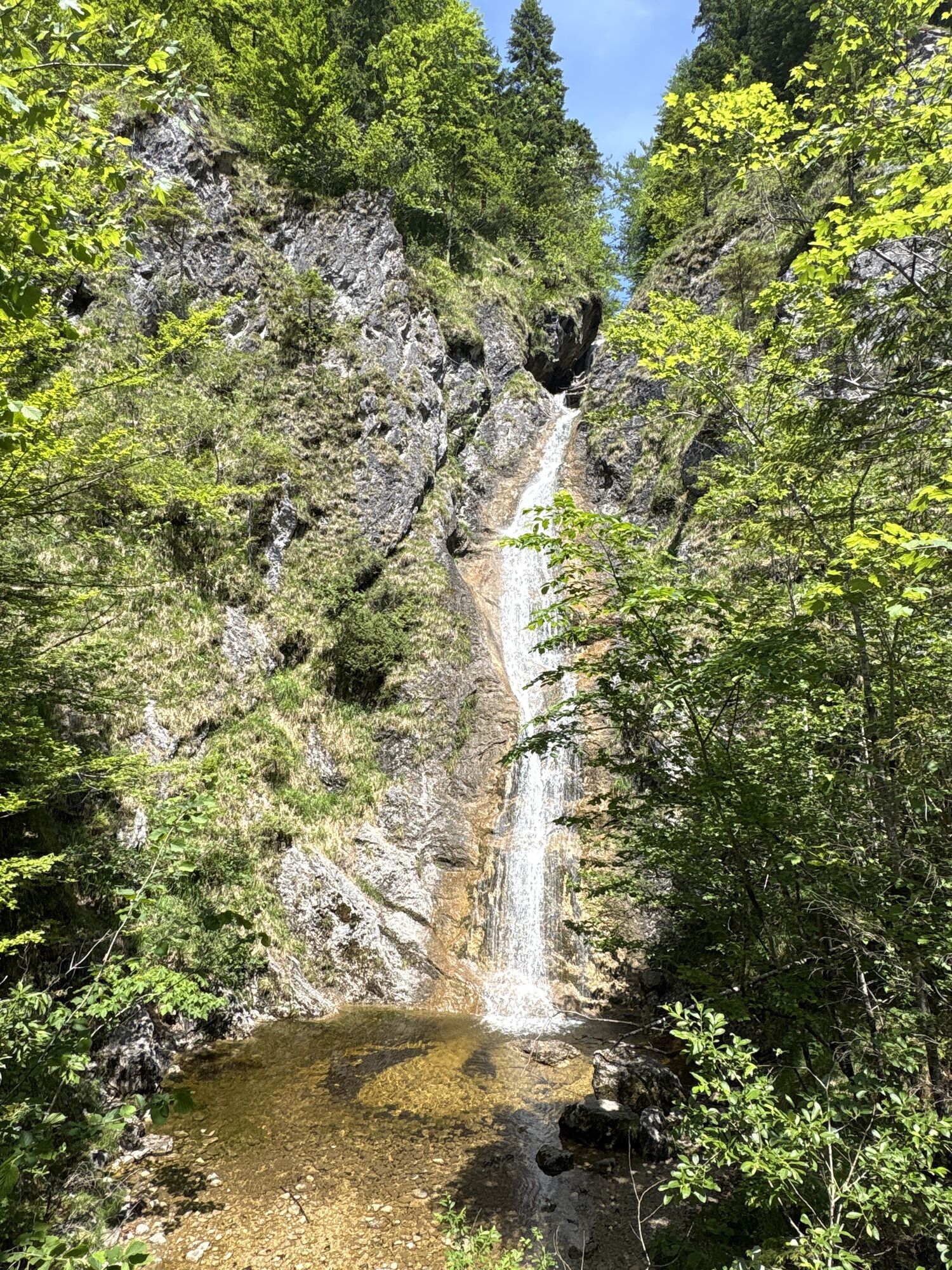
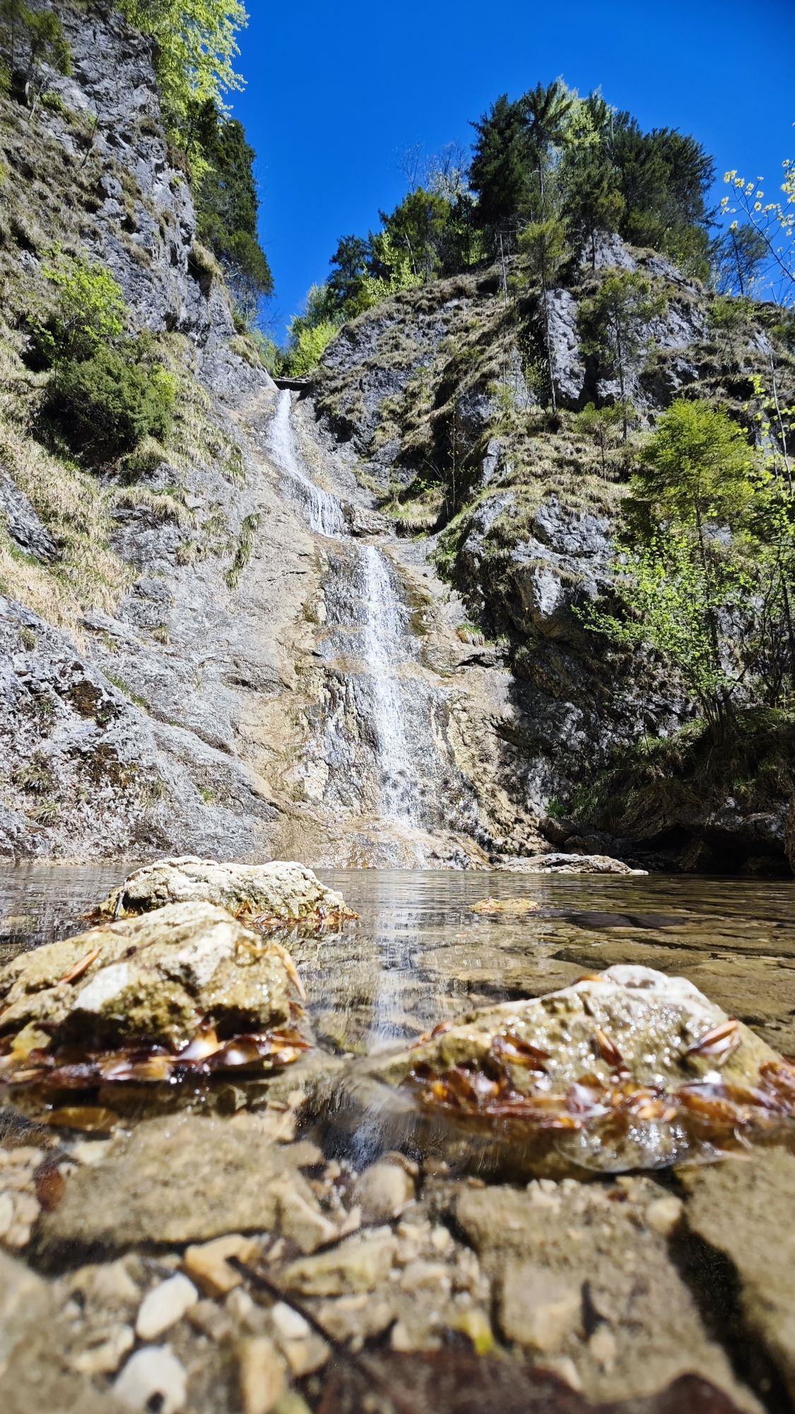



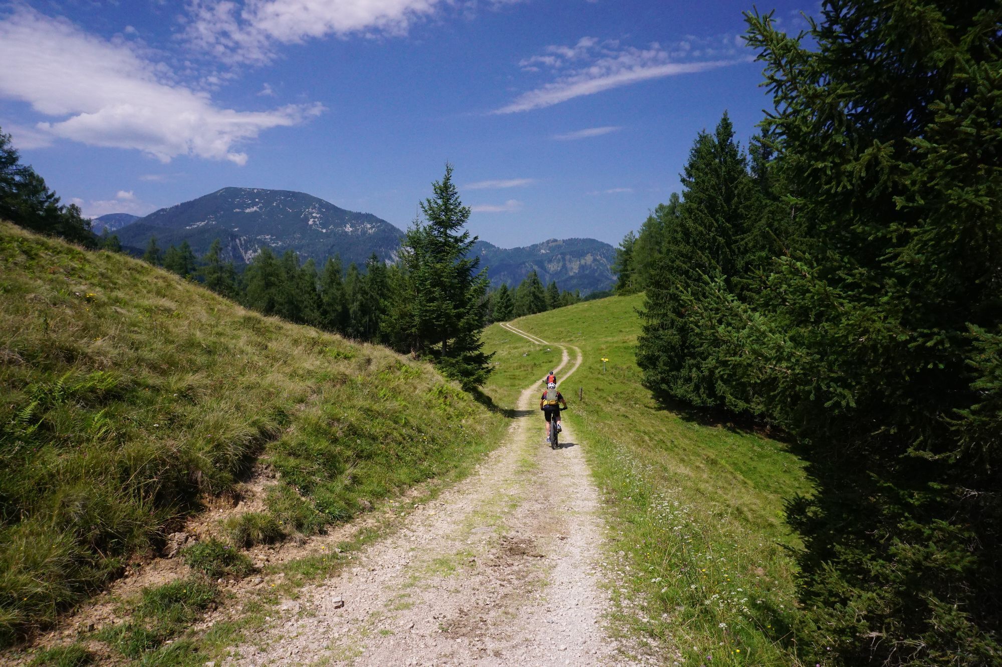
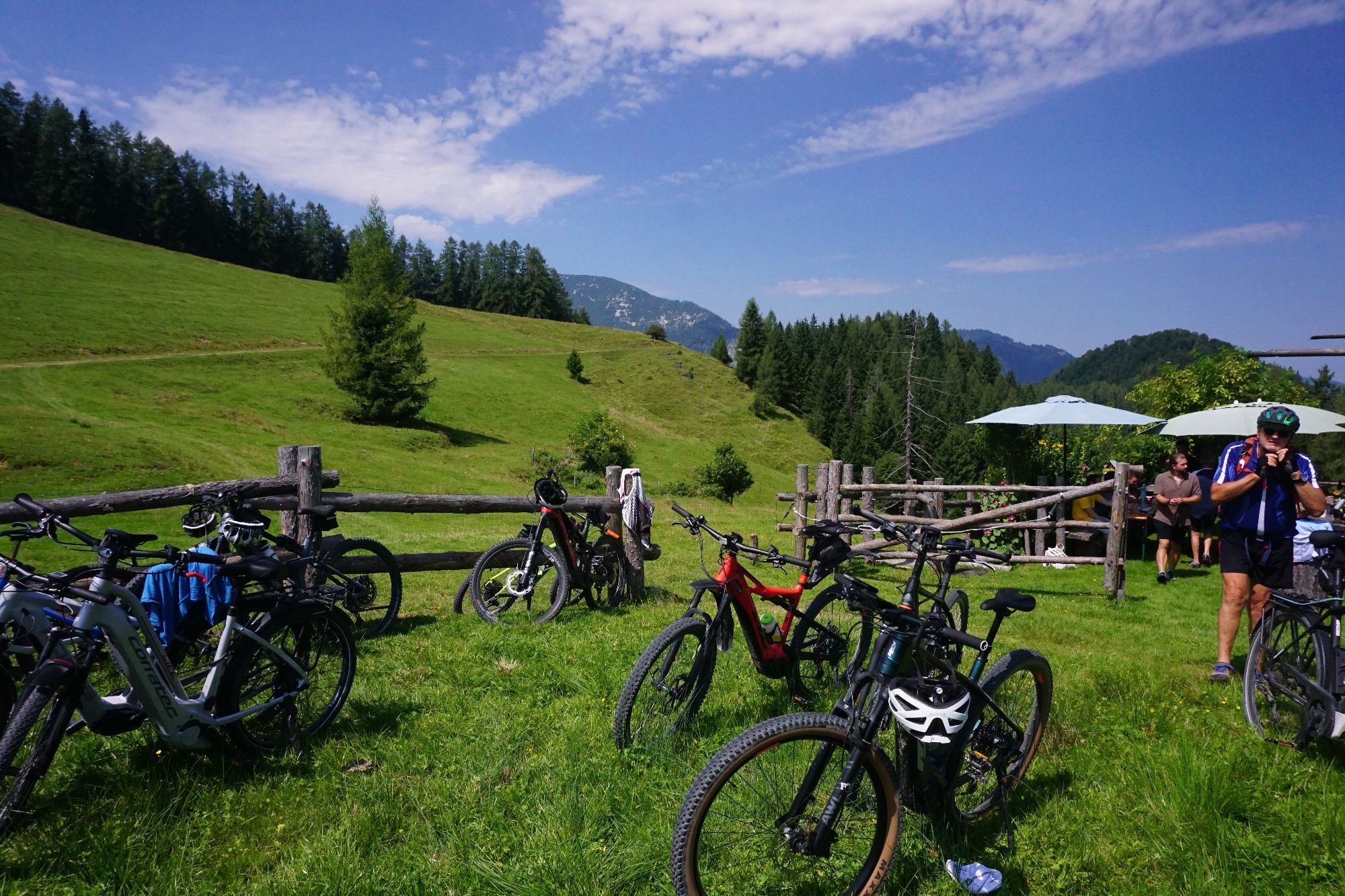
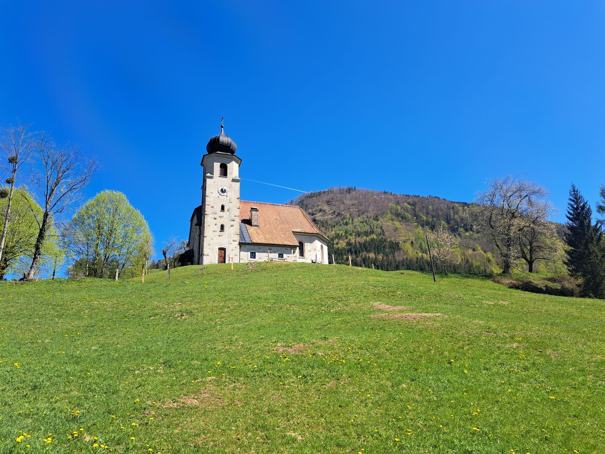


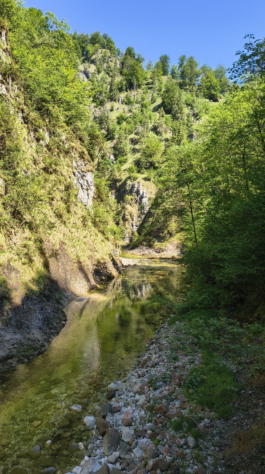
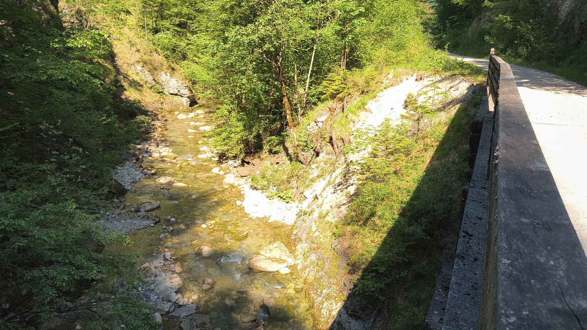
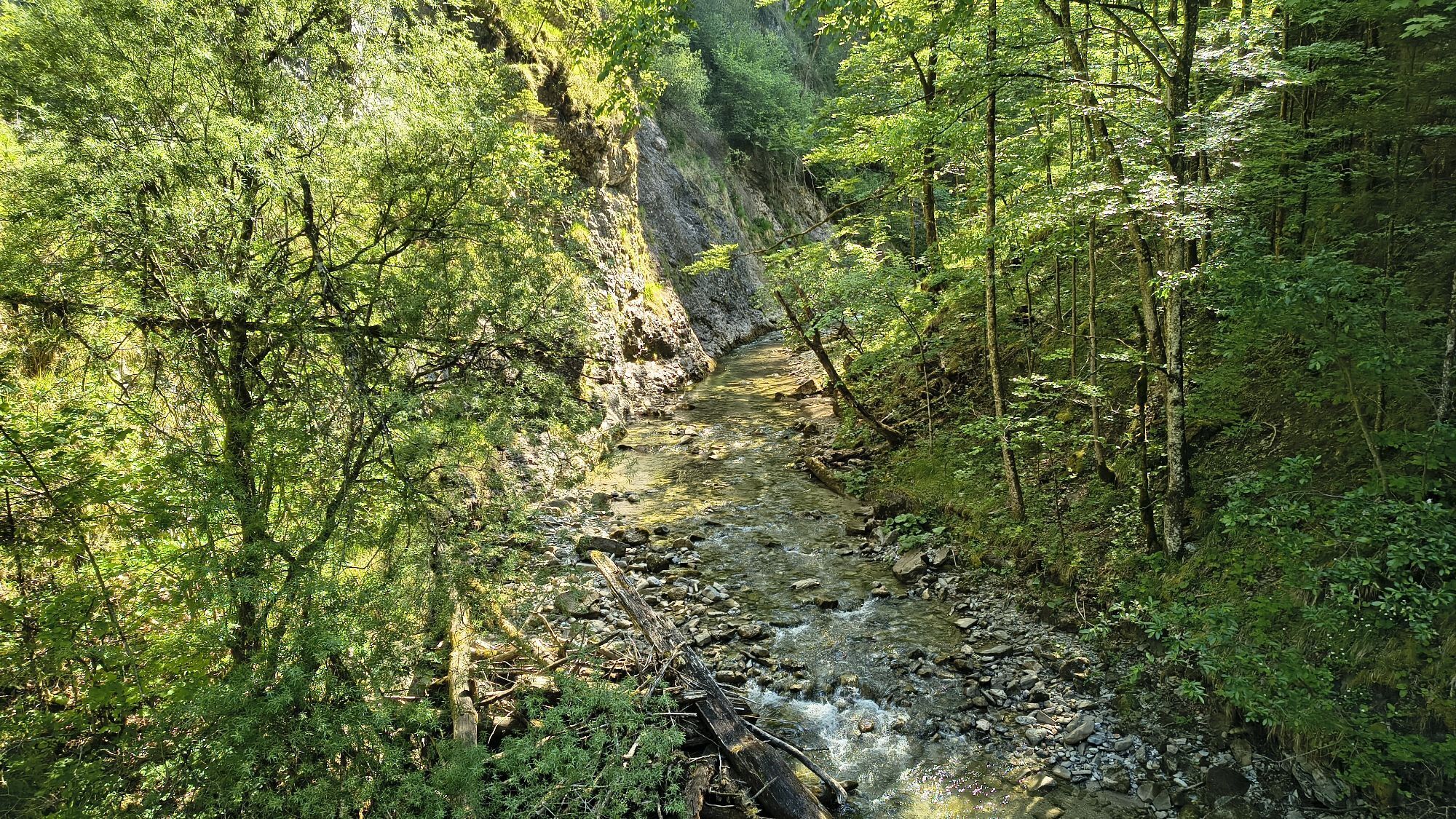
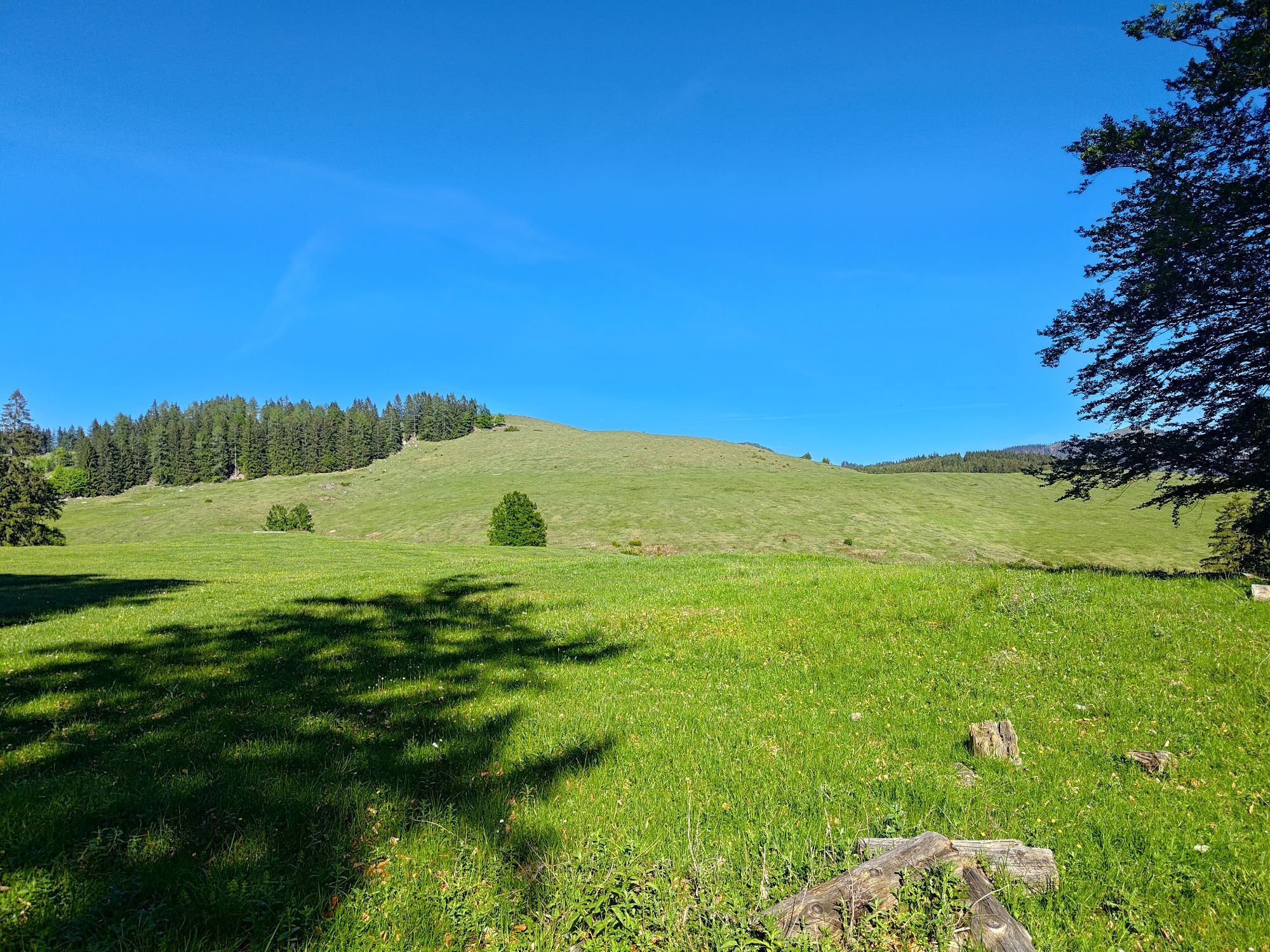
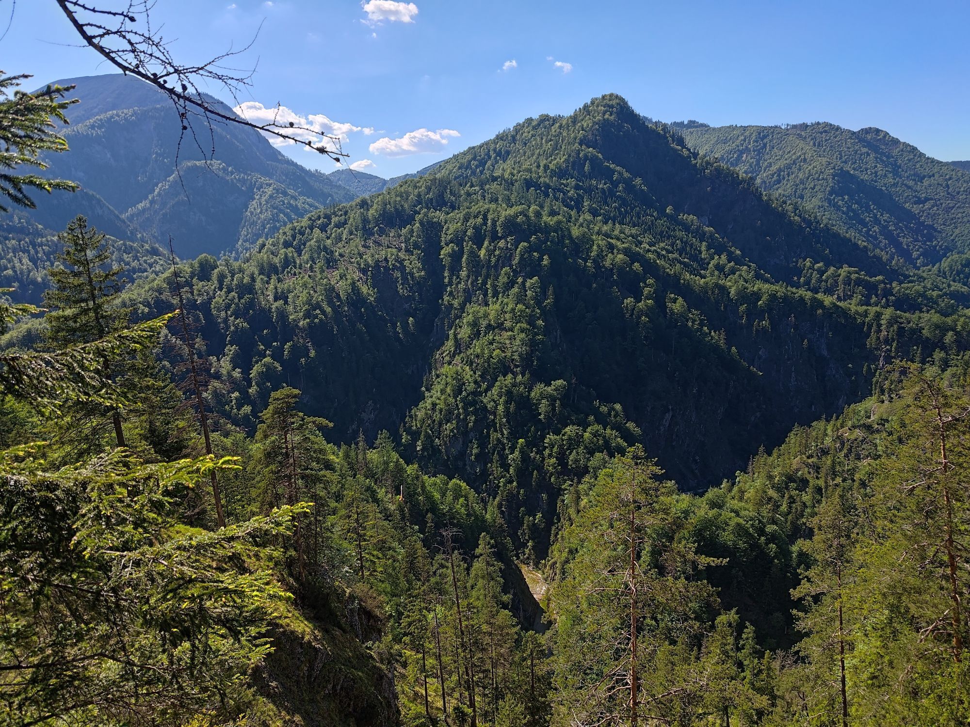


Beautiful view from the alp to the Größtenberg and the Gesäuse mountains.

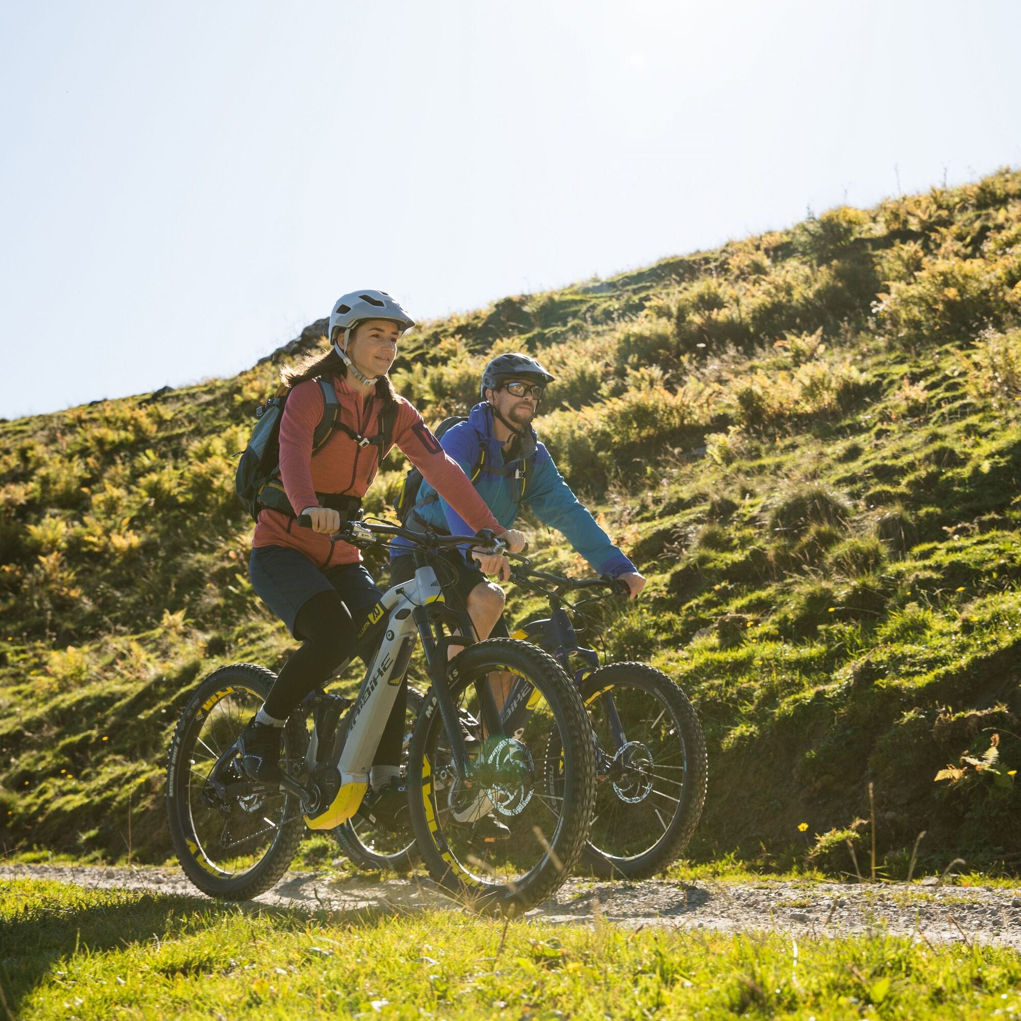

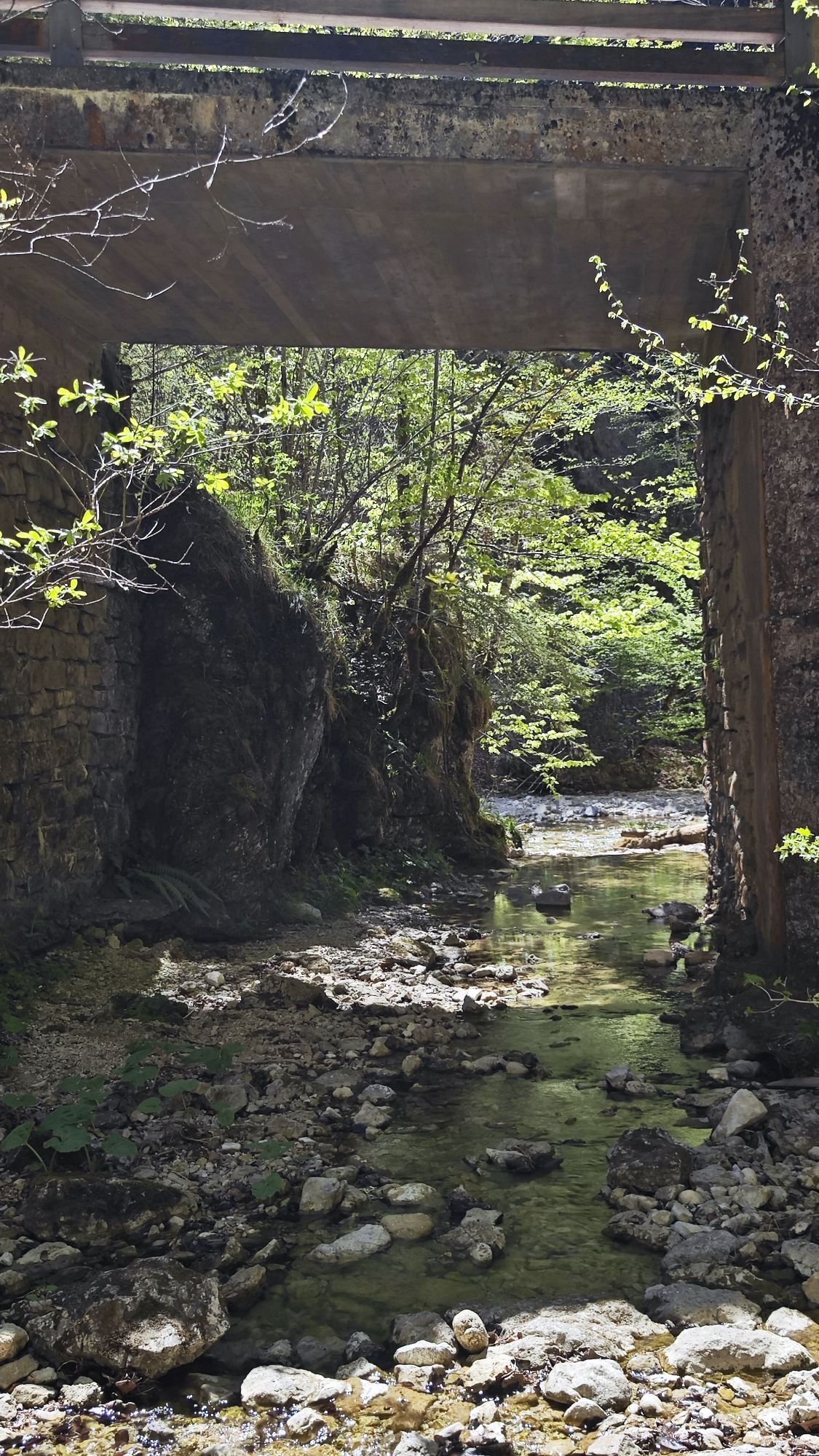
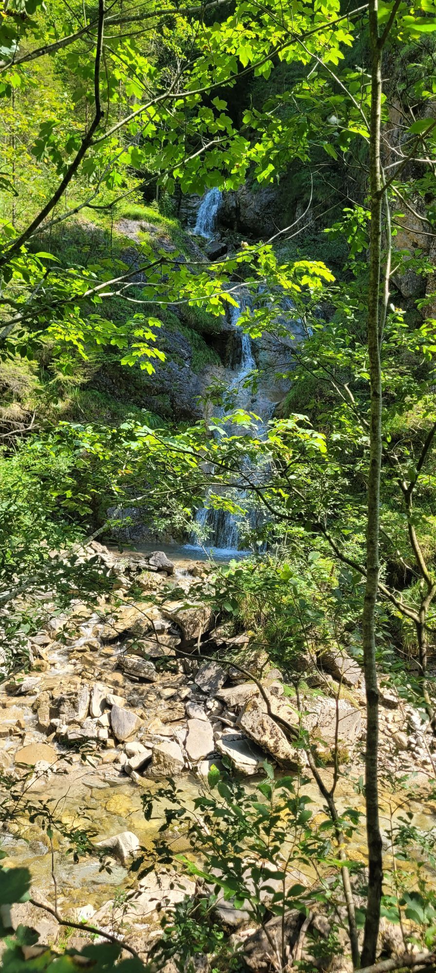
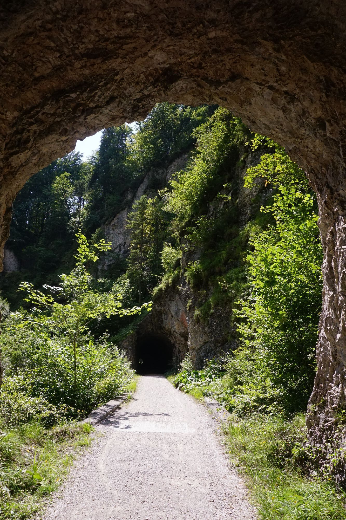
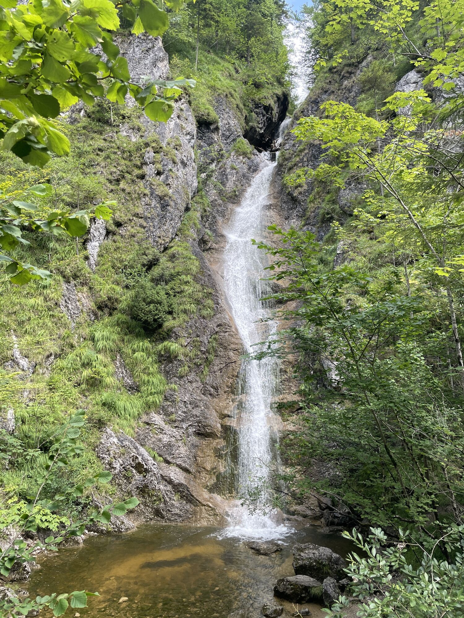
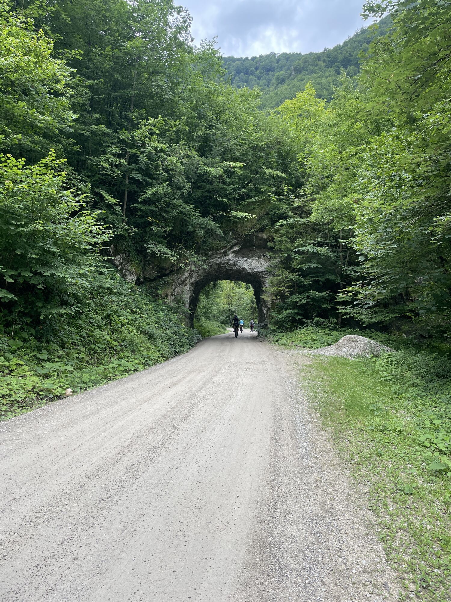
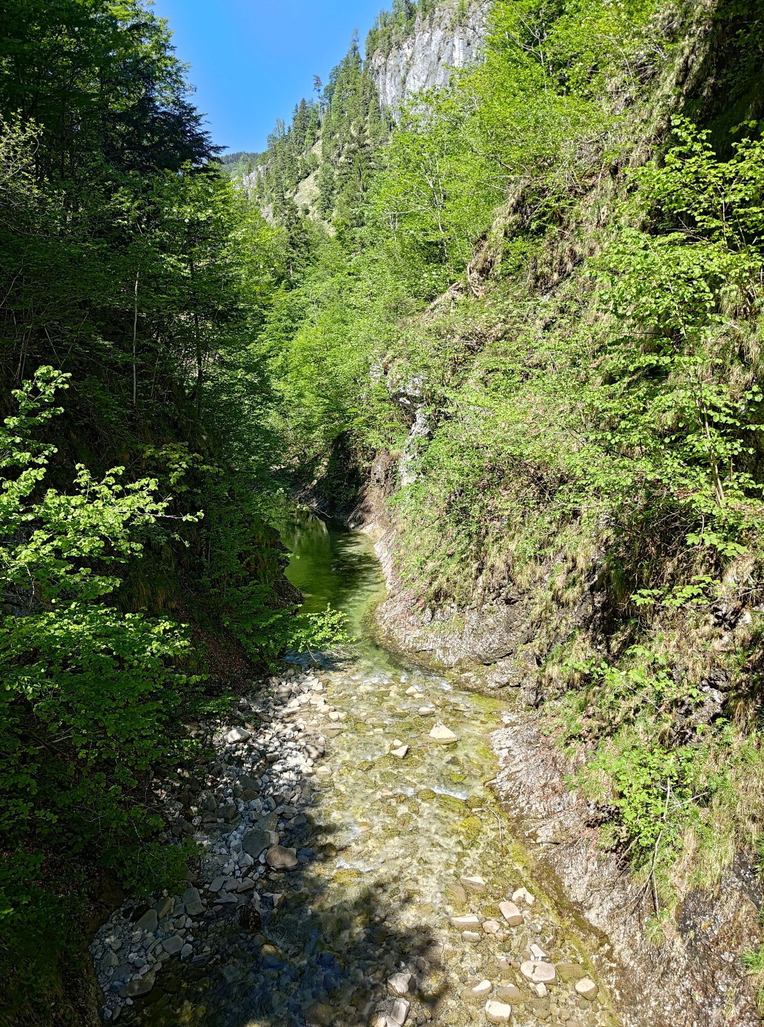
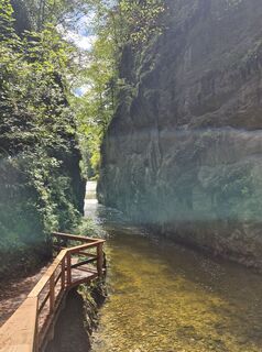
Start in Reichraming (348 m) at the square in front of the Amtshaus. Follow the Reichramingbach stream into the valley until you reach the "Anzenbachschranken", continue on the Hintergebirgsradweg trail until you reach the former Mairalm (km 7.87), turn right and ride past a hut into the valley of the Große Bach stream. Past the MTB junction "Wilder Graben", which leads to the Ebenforstalm, you pass through two tunnels. After 13.5 km you reach the Große Klause and the hospitable Klaushütte. Passing the junction of the MTB route in the direction of "Brunnbach", you continue cycling through the valley of the Große Bach to the Annerlsteg rest area (km 17). Here you could explore the Triftsteig. Unmiitelbar then over a bridge and through three up to 340 m long, partly illuminated tunnels (in between glimpses of the Great Gorge). After the third tunnel turn left. Over the bridge, through another tunnel and over the Black Stream you reach the Veil Falls. The next kilometer is followed by three shorter tunnels before you reach the mouth of the Saigerin (km 21) immediately after a barrier. There turn left to Weißwasser and after about 300 m turn sharply left and pedal up the up to 15% steep forest road. Pass the abandoned Aschaueralm and at km 24.3 turn sharp left. Continue uphill and around the Sonnberg. After 1.5 km turn right, after 1 km straight over the crossing. After a barrier you reach the destination and turning point of this tour via the meadows of the Anlaufbodenalm (982 m). Return along the same route, but after 3.43 km turn left uphill towards Hirschkogelsattel (information board). Here turn left downhill and ignore all junctions, always straight ahead to Brunnbach. At the junction in Brunnbach turn left into the Plaißagraben. After 330 m, at the fork, turn right up to Brennhöhe. (You can avoid this climb if you go back in the valley to Reichraming). Descent to Anzenbach and then right back to Reichraming.
Tak
Sun and rain protection, repair kid for minor bike breakdowns
Inquire in advance about any road or trail closures along the route.
You can obtain map material at www.steyr-nationalpark.at
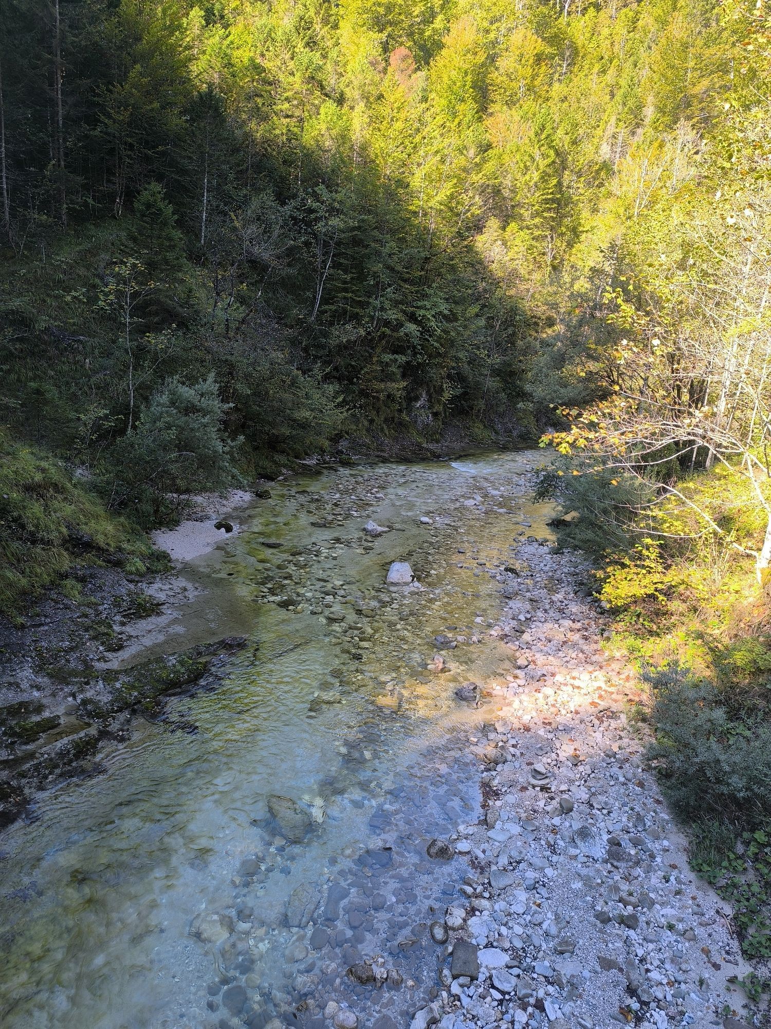
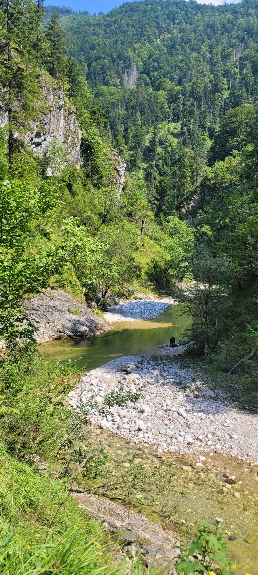
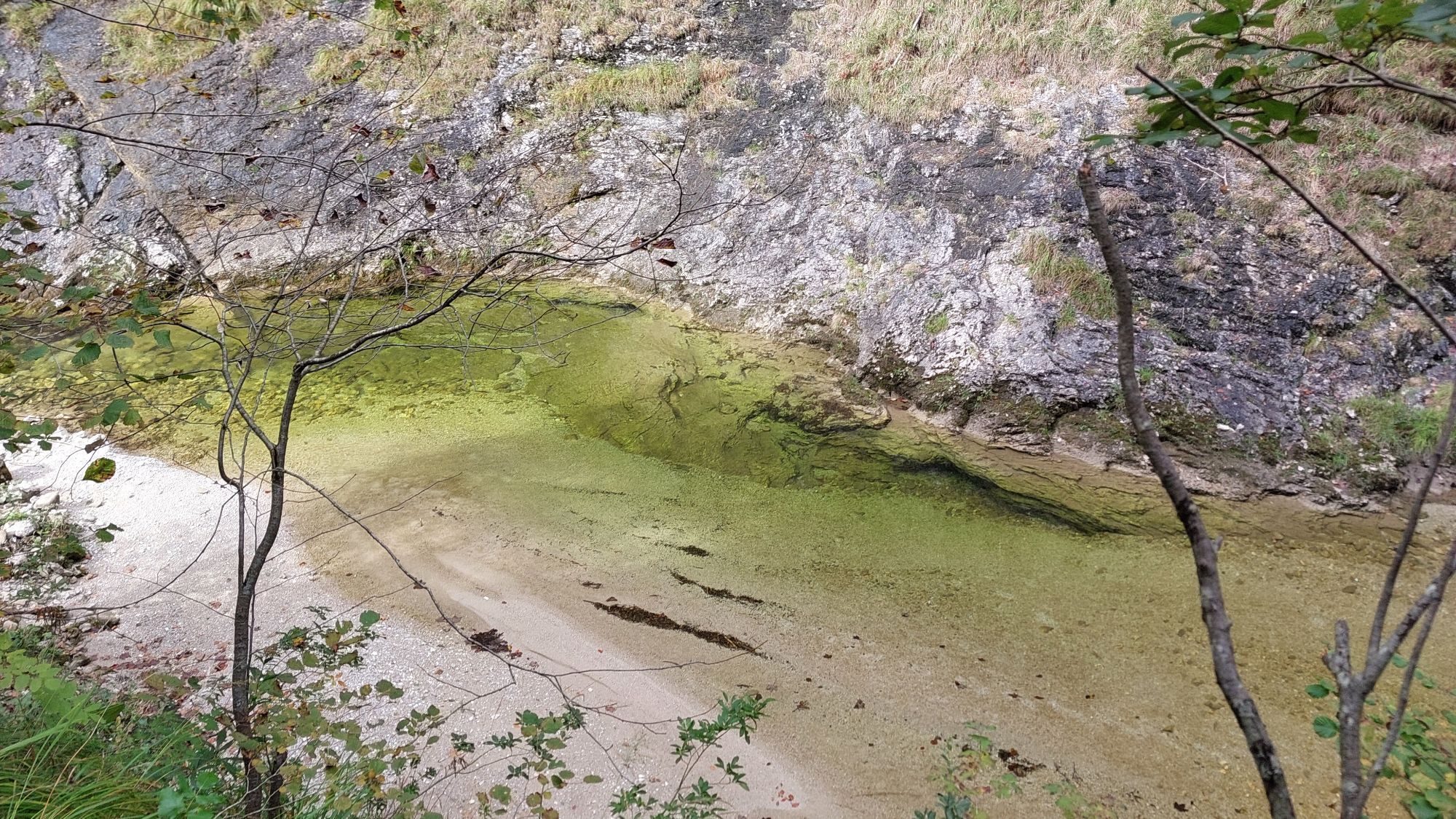
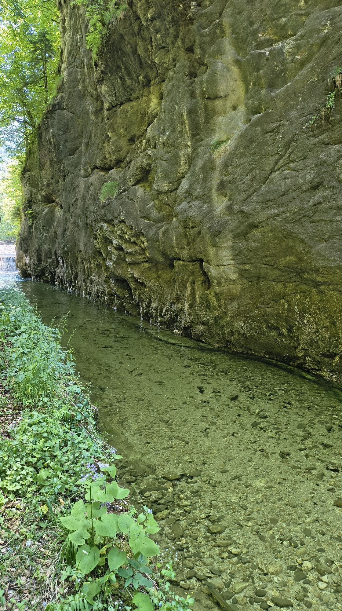
Enjoy wonderful natural bathing places along the Reichramingbach.




Kamery internetowe z trasy

Aktywności na trasie

Reichraming, Oberösterreich/Österreich
01.10.2026 – E-MTB
Reichraming, Oberösterreich/Österreich
26.09.2026 – Mountainbike
Reichraming, Oberösterreich/Österreich
13.09.2026 – E-Bike
Reichraming, Oberösterreich/Österreich
04.09.2026 – E-Bike
Weyer, Oberösterreich/Österreich
30.08.2026 – E-MTBReichraming, Oberösterreich/Österreich
30.08.2026 – MountainbikeWeyer, Oberösterreich/Österreich
27.08.2026 – Jazda na rowerzeReichraming, Oberösterreich/Österreich
24.08.2026 – Mountainbike
Reichraming, Oberösterreich/Österreich
23.08.2026 – Mountainbike
Reichraming, Oberösterreich/Österreich
19.08.2026 – E-Bike
Biwakplatz Weißwasser
16.08.2026 – Mountainbike
Reichraming, Oberösterreich/Österreich
14.08.2026 – WędrówkaReichraming, Oberösterreich/Österreich
11.08.2026 – Jazda na rowerzeReichraming, Oberösterreich/Österreich
05.08.2026 – E-BikeReichraming, Oberösterreich/Österreich
22.07.2026 – Jazda na rowerzeReichraming, Oberösterreich/Österreich
19.07.2026 – E-MTB
Reichraming, Oberösterreich/Österreich
15.07.2026 – PrzechadzkaHintergebirgsradweg
21.06.2026 – E-MTBReichraming, Oberösterreich/Österreich
18.06.2026 – Mountainbike
Reichraming, Oberösterreich/Österreich
06.06.2026 – Mountainbike
Popularne wycieczki w okolicy
- 4,9
Ennser Hut - Almkogel (from Bamacher car park)
średniWędrówka 3,53 km - 4,6
Natterriegel über Mittagskogel
ciężkiWędrówka 14,6 km - 4,5
Grabneralm und Grabnerstein
średniWędrówka 13,5 km - 4,0
Wasserklotz
średniWędrówka 5,81 km - 4,8
Scheiblingstein (23.10.2019)
średniWędrówka 14,2 km - 4,7
Hoher Nock von Rettenbach Rettenbach, Windischgarsten,
średniWędrówka 11,5 km - 4,7
GROSSRAMING Bamacher, Burgspitz, Almkogel, Ennshütte 20240730
średniWędrówka 10 km - 4,6
Kleiner Pyhrgas
średniWędrówka 9,64 km - 4,7
Lahnerkogel
światłoWędrówka 9,31 km - 4,6
Gamsstein (1275m) und Gschwendtalm ab Parkplatz Brunnbach
średniWędrówka 7,37 km
Wędrówki i tropienie


Nie przegap ofert i inspiracji na następne wakacje
Twój adres e-mail została dodana do listy mailingowej.


