


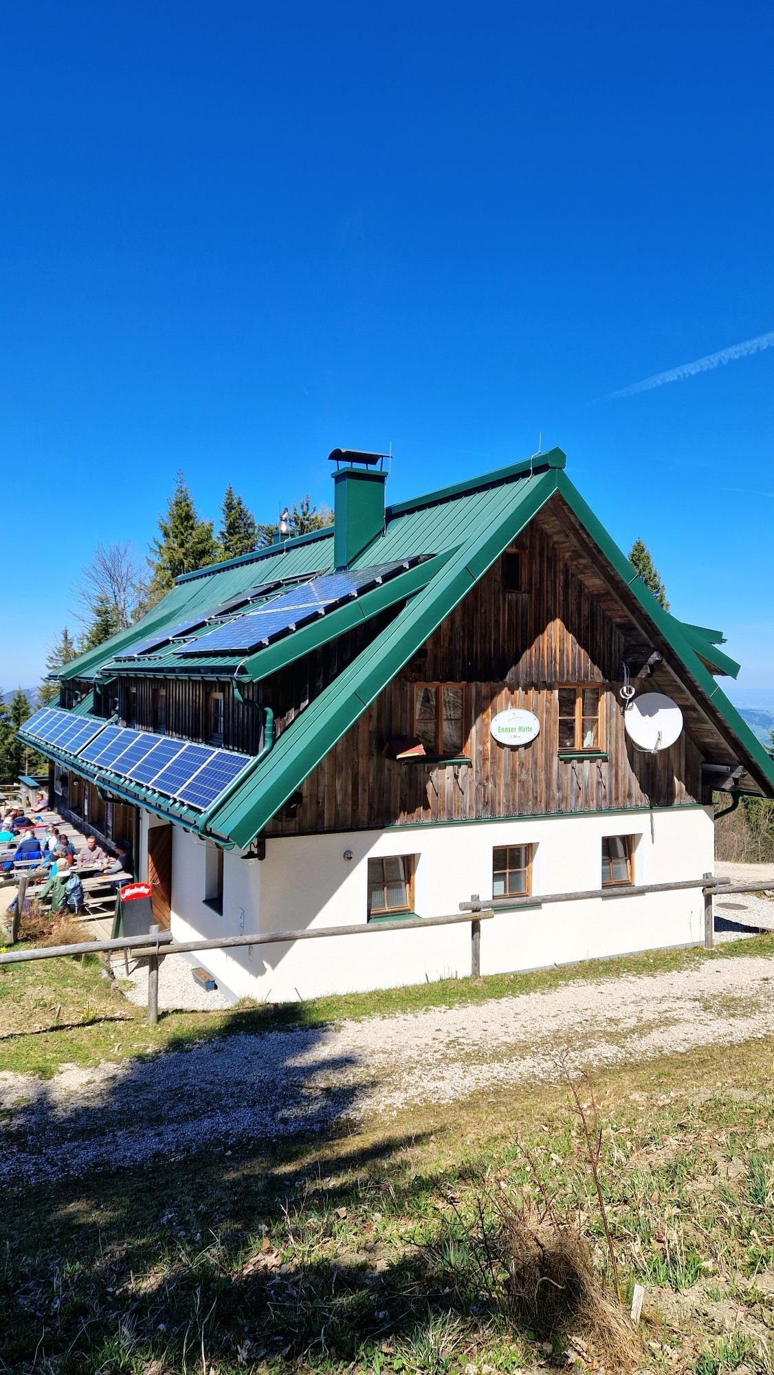
Ennser Hut - Almkogel (from Bamacher car park)
Zdjęcia naszych użytkowników

 © Wenzl73Utworzono dnia 16.11.2024
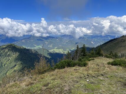
 © Patrick Gensinger 1Utworzono dnia 22.09.2022
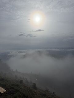
 © Berg NoarUtworzono dnia 14.05.2026
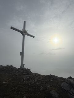 © Berg NoarUtworzono dnia 14.05.2026
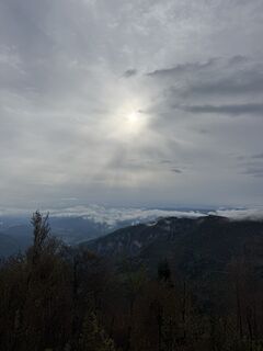 © Berg NoarUtworzono dnia 14.05.2026
 © Berg NoarUtworzono dnia 14.05.2026
 © Edith K.Utworzono dnia 10.05.2026
 © Edith K.Utworzono dnia 10.05.2026
 © Edith K.Utworzono dnia 10.05.2026
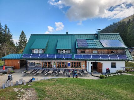
 © Petra RieglerUtworzono dnia 09.05.2026
 © Petra RieglerUtworzono dnia 09.05.2026
 © Elisabeth RossaUtworzono dnia 26.04.2026
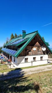 © Elisabeth RossaUtworzono dnia 26.04.2026
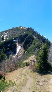 © Elisabeth RossaUtworzono dnia 26.04.2026
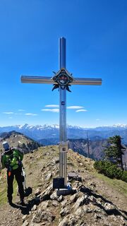 © Elisabeth RossaUtworzono dnia 26.04.2026
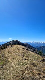 © Elisabeth RossaUtworzono dnia 26.04.2026
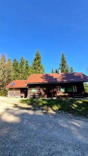 © Elisabeth RossaUtworzono dnia 26.04.2026
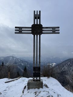 © Berg NoarUtworzono dnia 07.01.2026
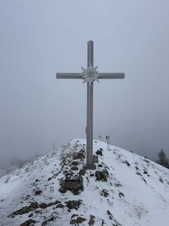 © Berg NoarUtworzono dnia 07.01.2026
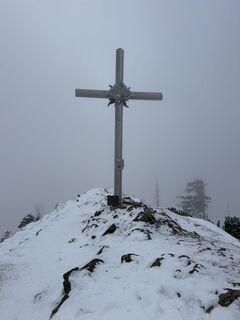 © Berg NoarUtworzono dnia 07.01.2026
 © Berg NoarUtworzono dnia 07.01.2026
 © Ernst1904Utworzono dnia 23.11.2025
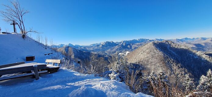 © Ernst1904Utworzono dnia 23.11.2025
 © Ernst1904Utworzono dnia 23.11.2025
 © kstbUtworzono dnia 05.11.2025
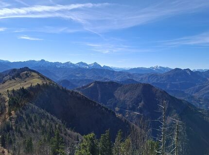 © kstbUtworzono dnia 05.11.2025
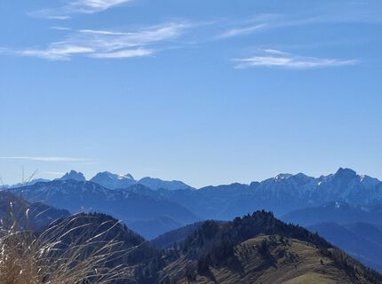 © kstbUtworzono dnia 05.11.2025
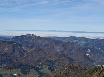 © kstbUtworzono dnia 05.11.2025
 © kstbUtworzono dnia 05.11.2025
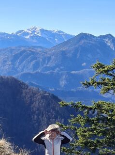 © kstbUtworzono dnia 05.11.2025
 © kstbUtworzono dnia 05.11.2025
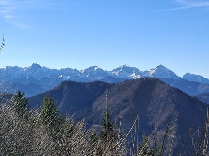 © kstbUtworzono dnia 05.11.2025
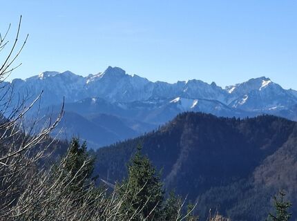 © kstbUtworzono dnia 05.11.2025
 © kstbUtworzono dnia 05.11.2025
 © kstbUtworzono dnia 05.11.2025
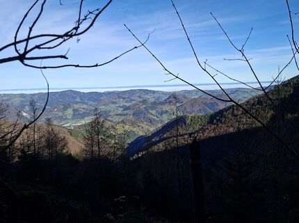 © kstbUtworzono dnia 05.11.2025
 © kstbUtworzono dnia 05.11.2025
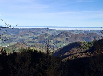 © kstbUtworzono dnia 05.11.2025
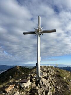 © Berg NoarUtworzono dnia 04.10.2025
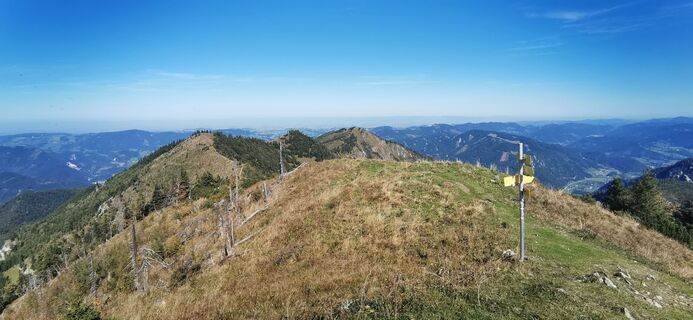
 © Paula SedláčekUtworzono dnia 21.09.2025
 © Paula SedláčekUtworzono dnia 21.09.2025
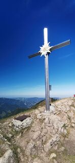 © Paula SedláčekUtworzono dnia 21.09.2025
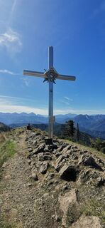 © Paula SedláčekUtworzono dnia 21.09.2025
 © Paula SedláčekUtworzono dnia 21.09.2025
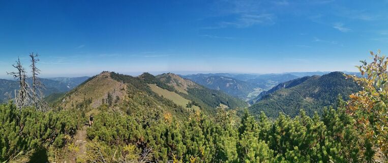 © Paula SedláčekUtworzono dnia 21.09.2025
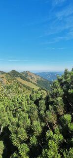 © Paula SedláčekUtworzono dnia 21.09.2025
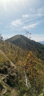 © Paula SedláčekUtworzono dnia 21.09.2025
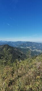 © Paula SedláčekUtworzono dnia 21.09.2025


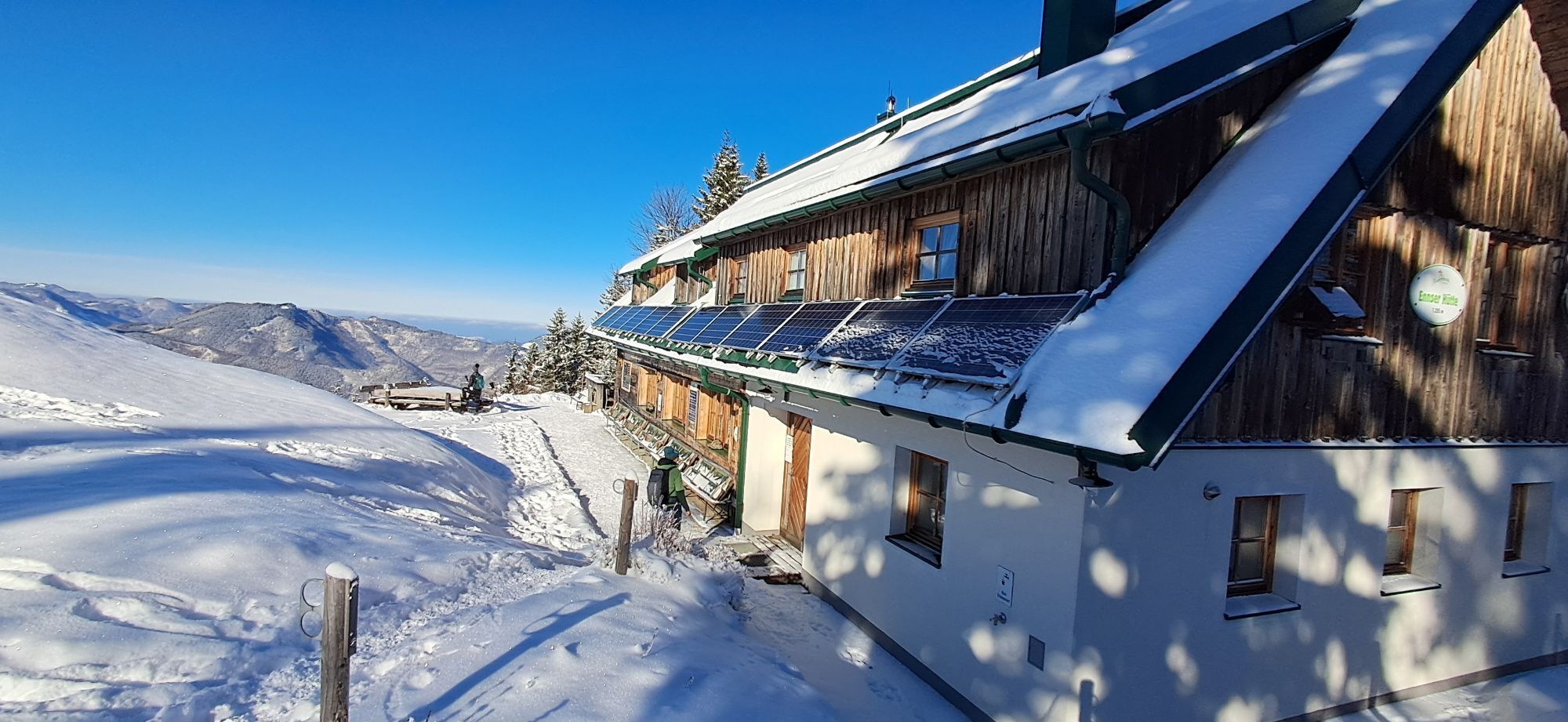


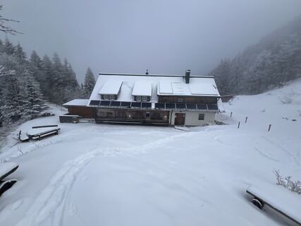
The highest summit of Großraming and the year-round operated Ennser Hut are a must in the Ennstal National Park region. From the Bamacher car park it goes uphill through forests to the Ennser Hut and then...
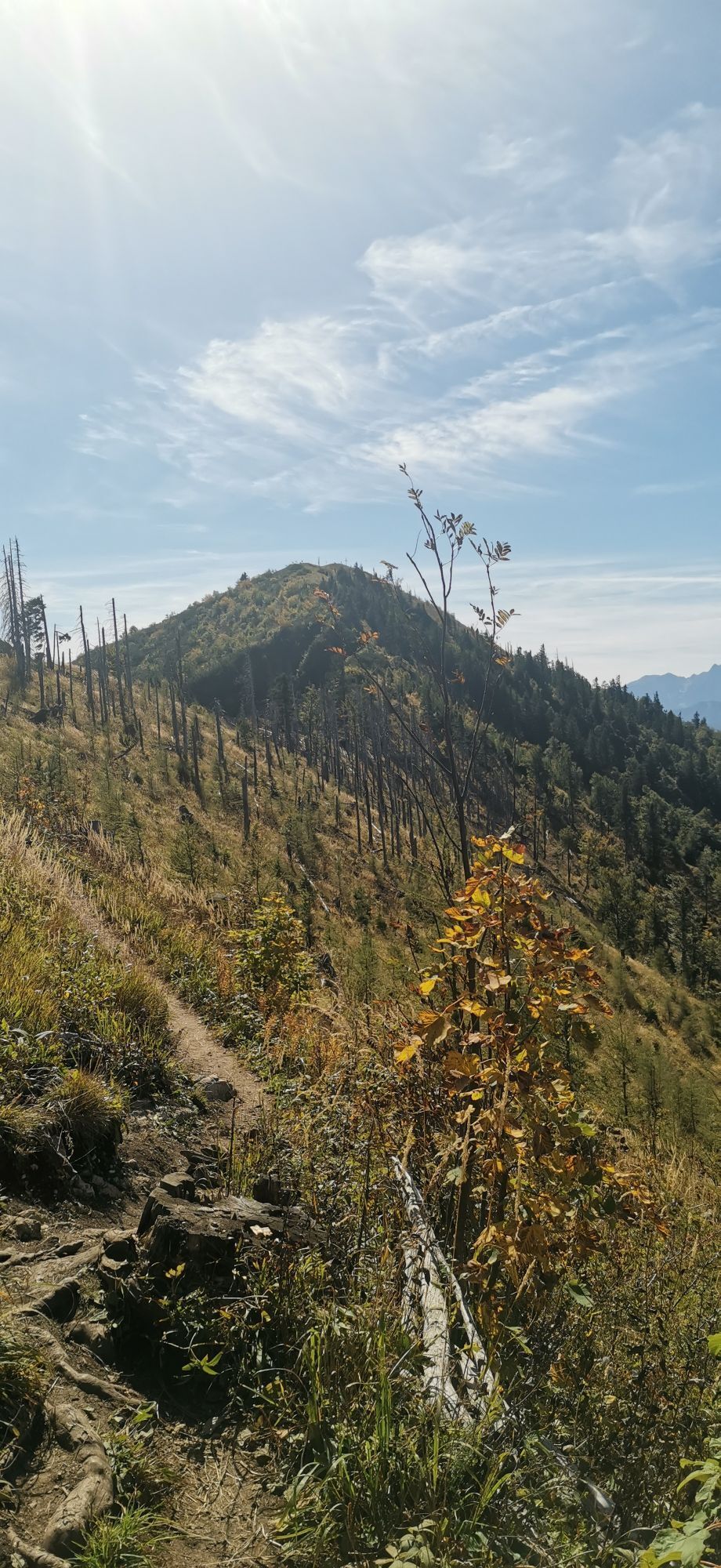
The highest summit of Großraming and the year-round operated Ennser Hut are a must in the Ennstal National Park region. From the Bamacher car park it goes uphill through forests to the Ennser Hut and then to the Almkogel.
Hiking trail: 492


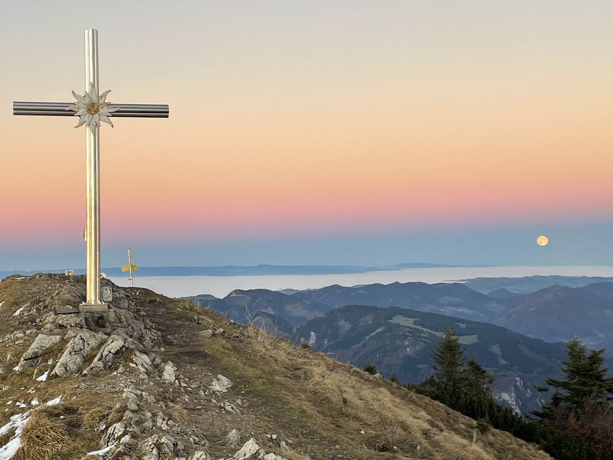
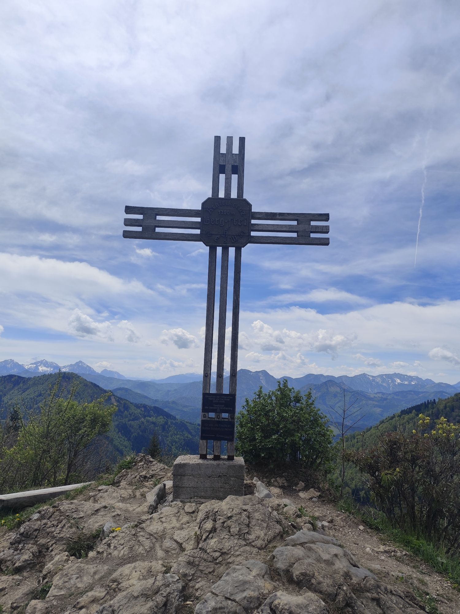
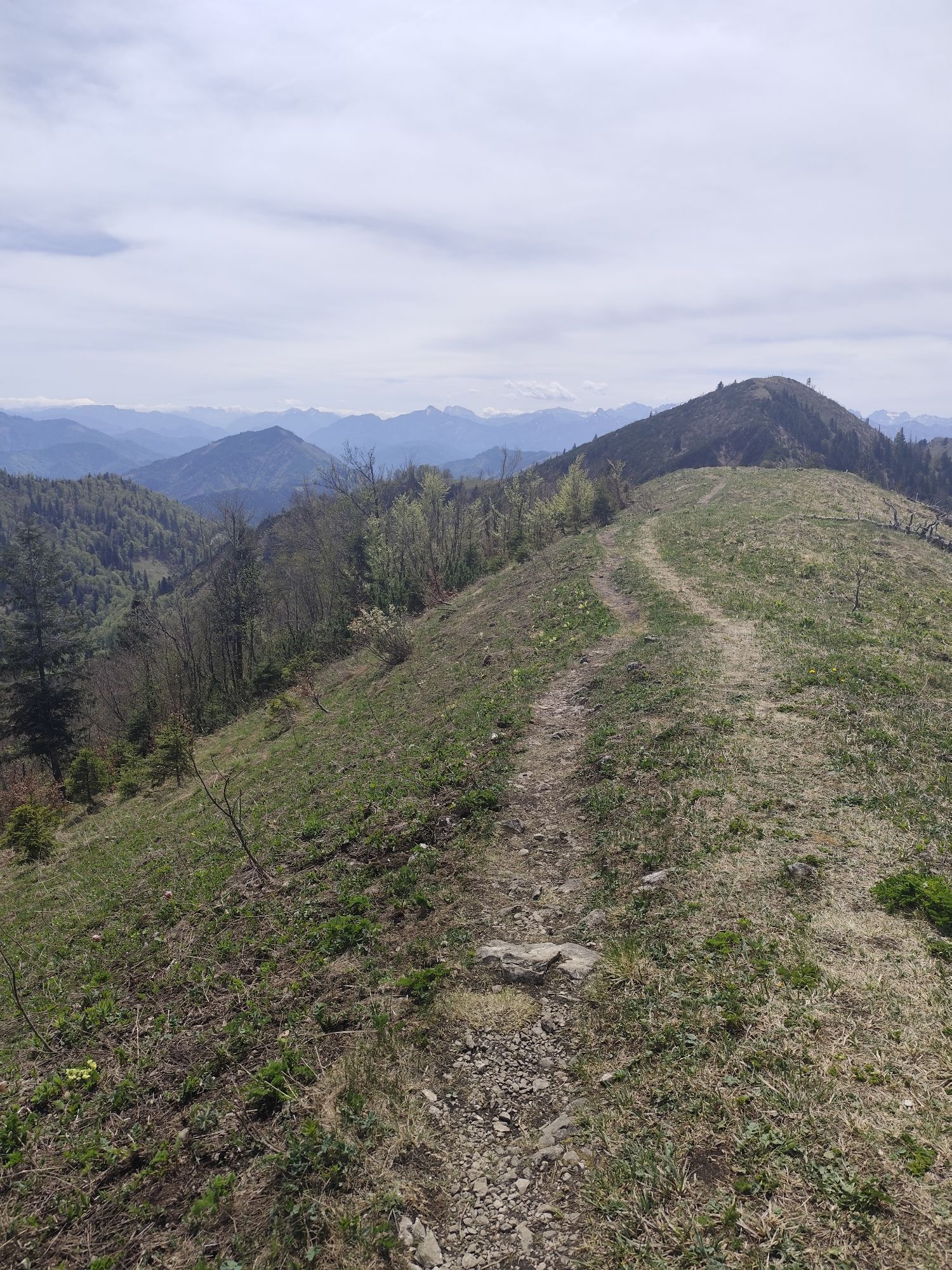
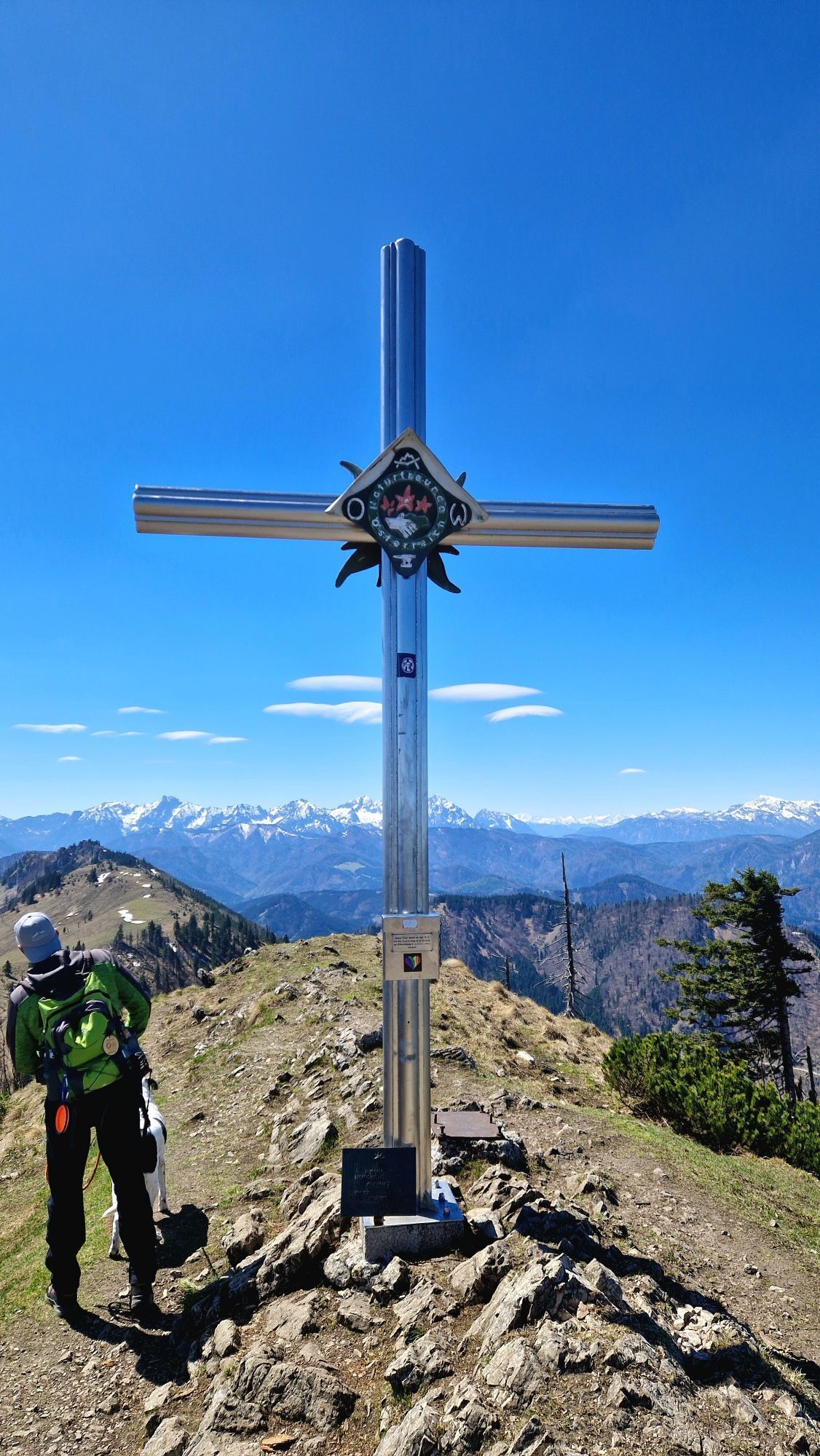
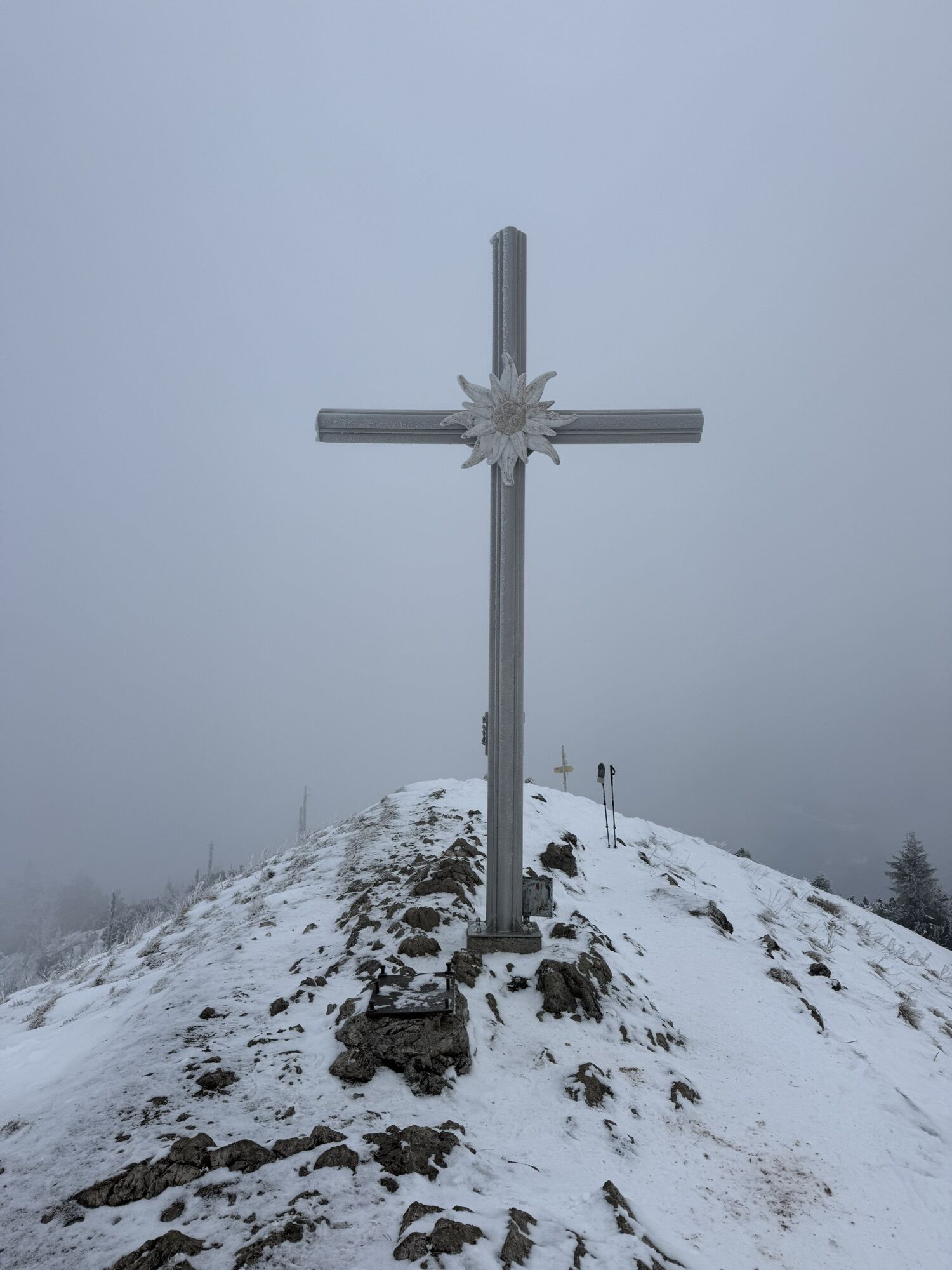
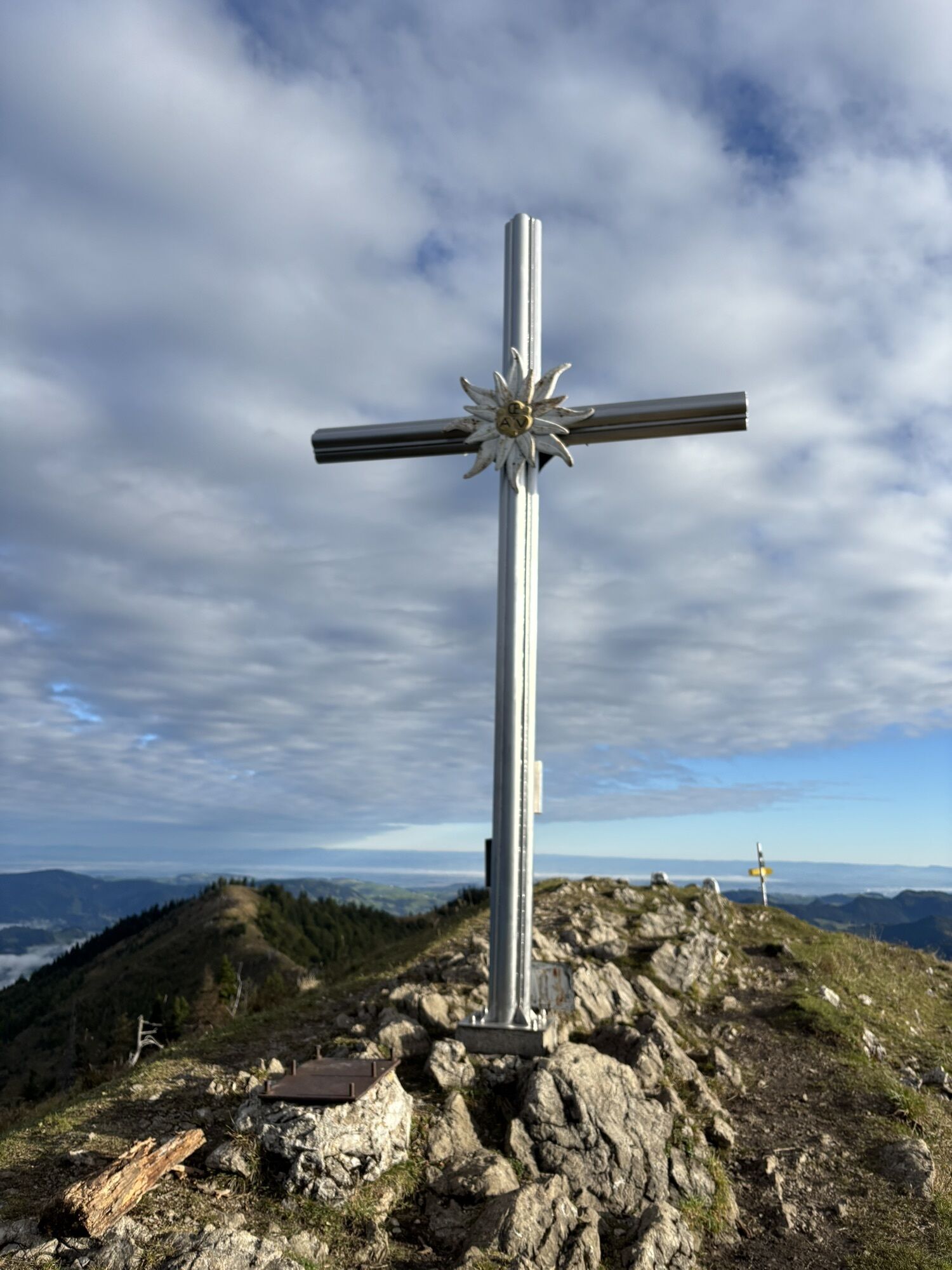
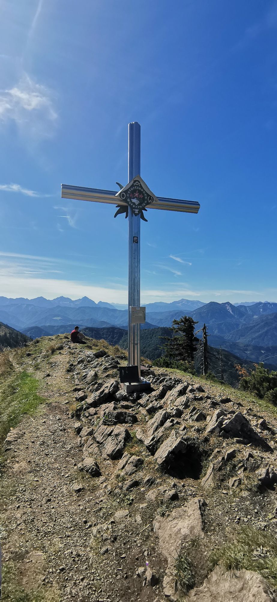
This hike leads to the highest summit of Großraming, the Almkogel at 1,513 m. There are two ascent options, either from Großraming railway station on hiking trail 492, about 3 hours to the Ennser Hut (1,293 m) or by car to the Bamacher car park. From there, about 1 hour to the hut. The summit of Almkogel (1,513 m) can then be reached in 45 minutes.
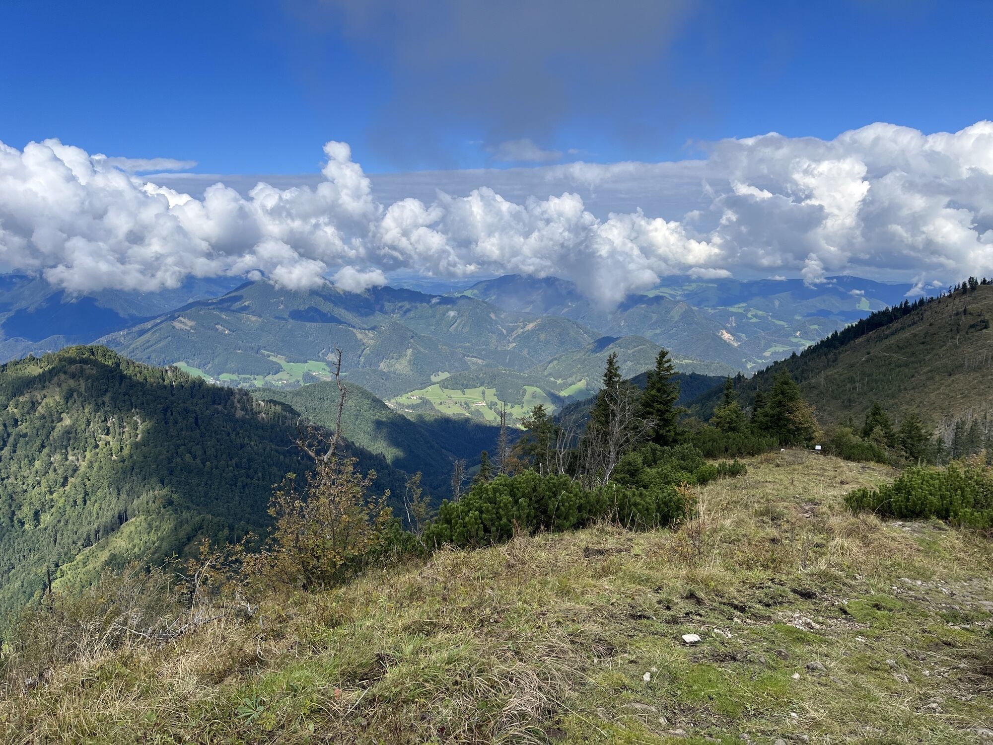
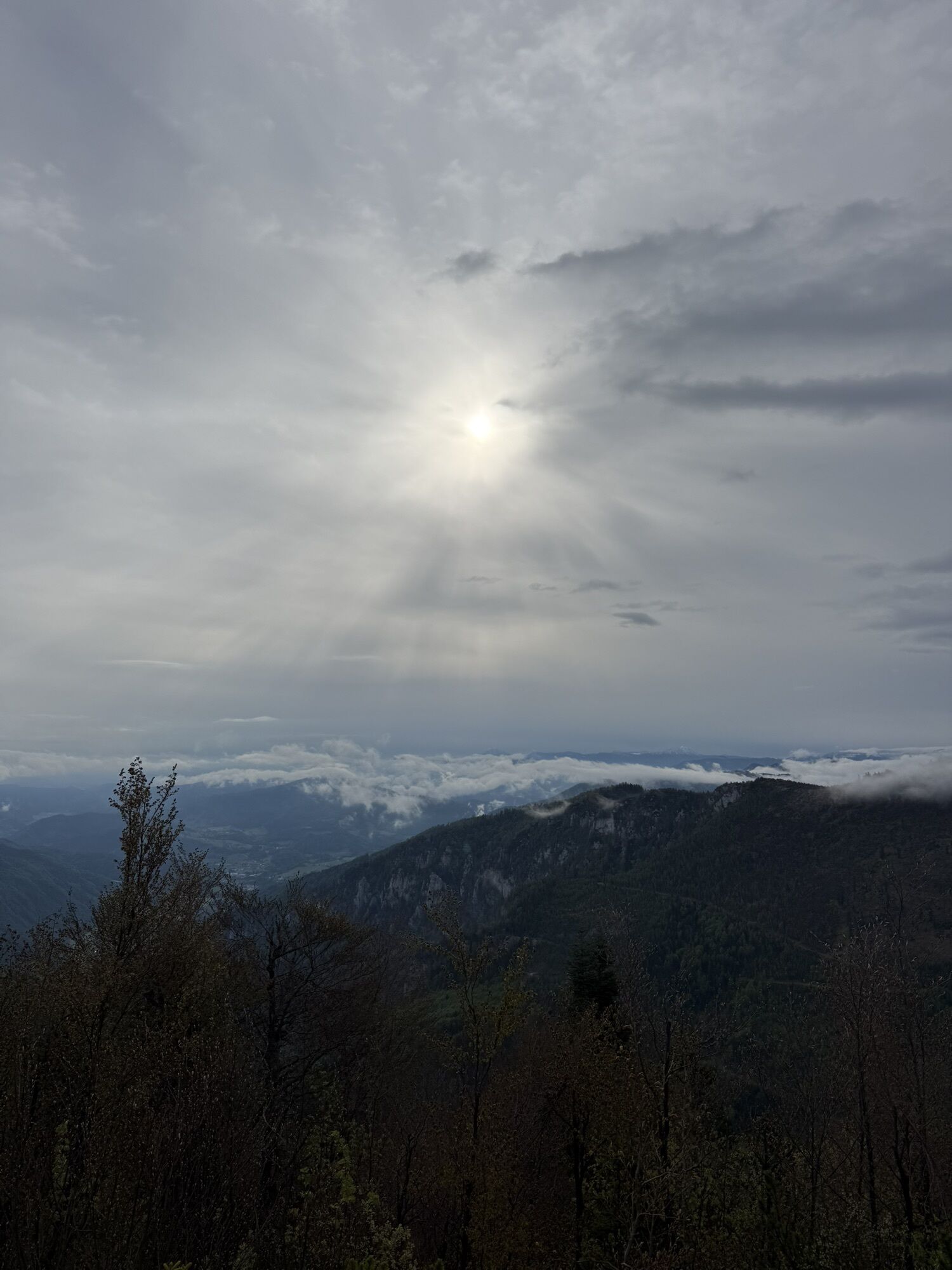
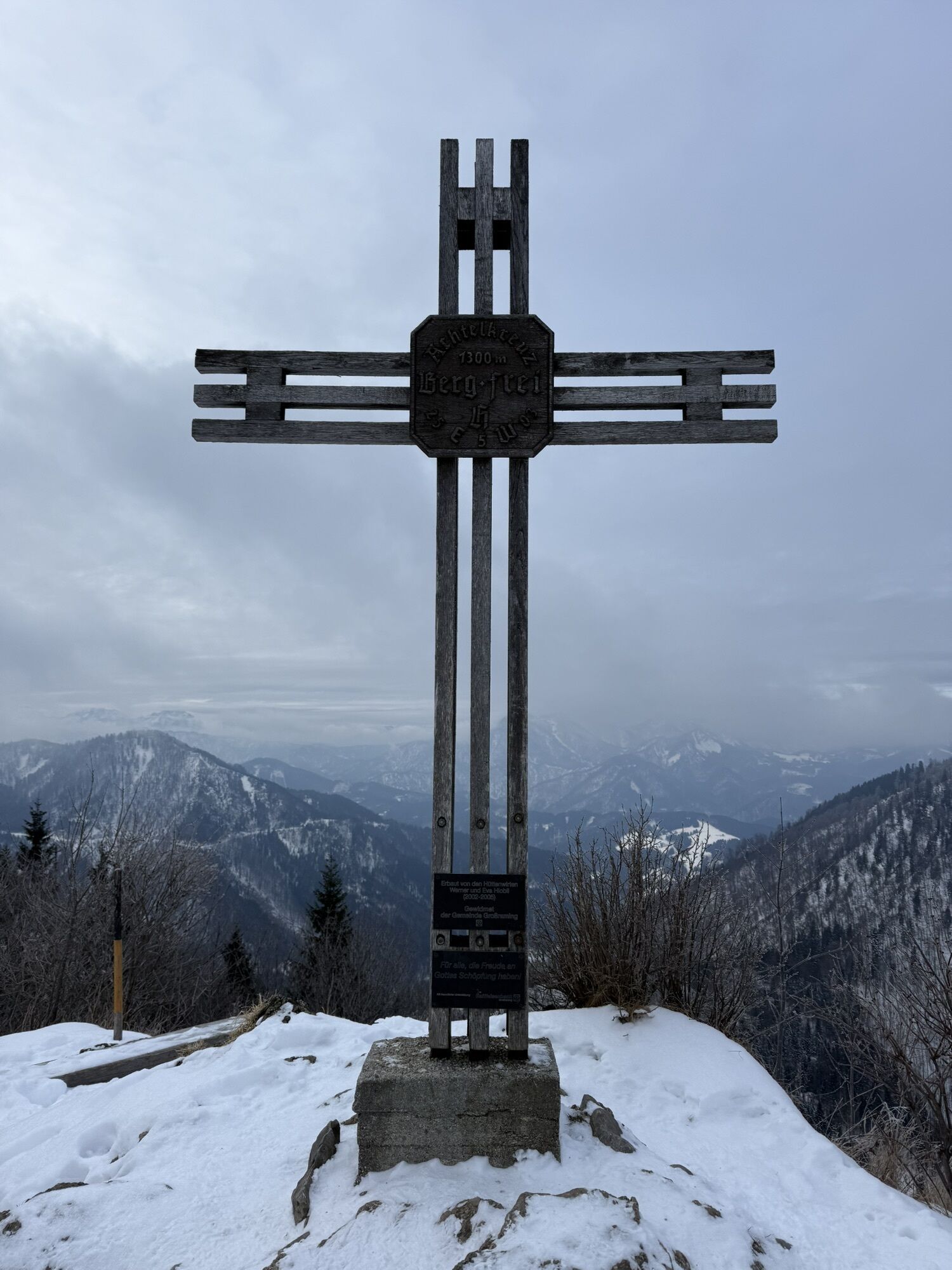
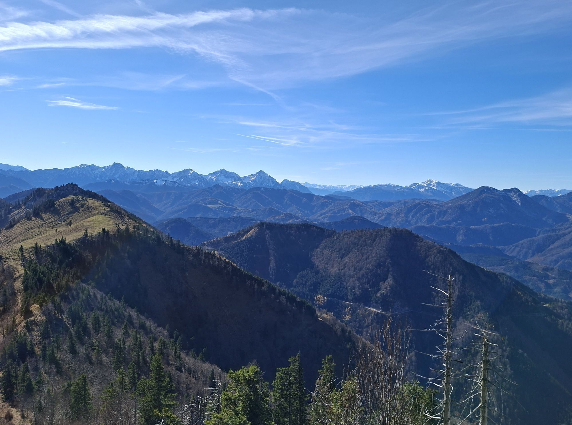
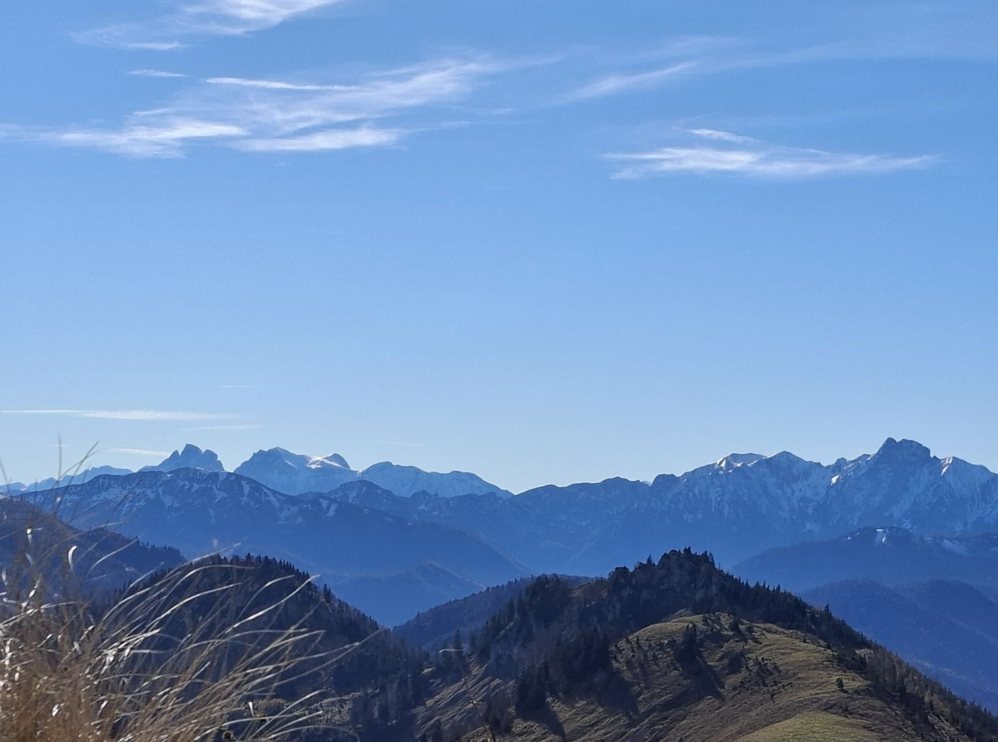
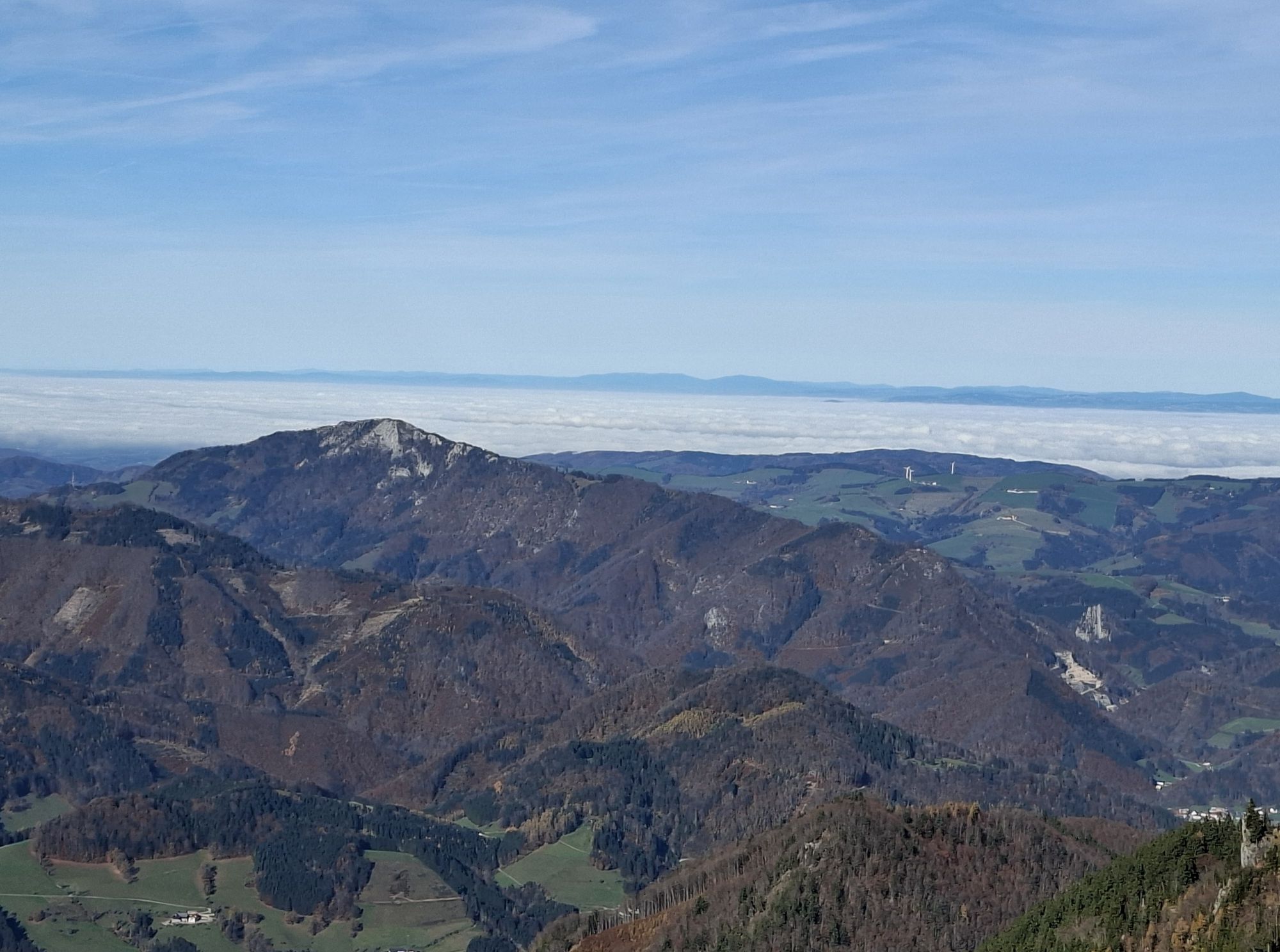
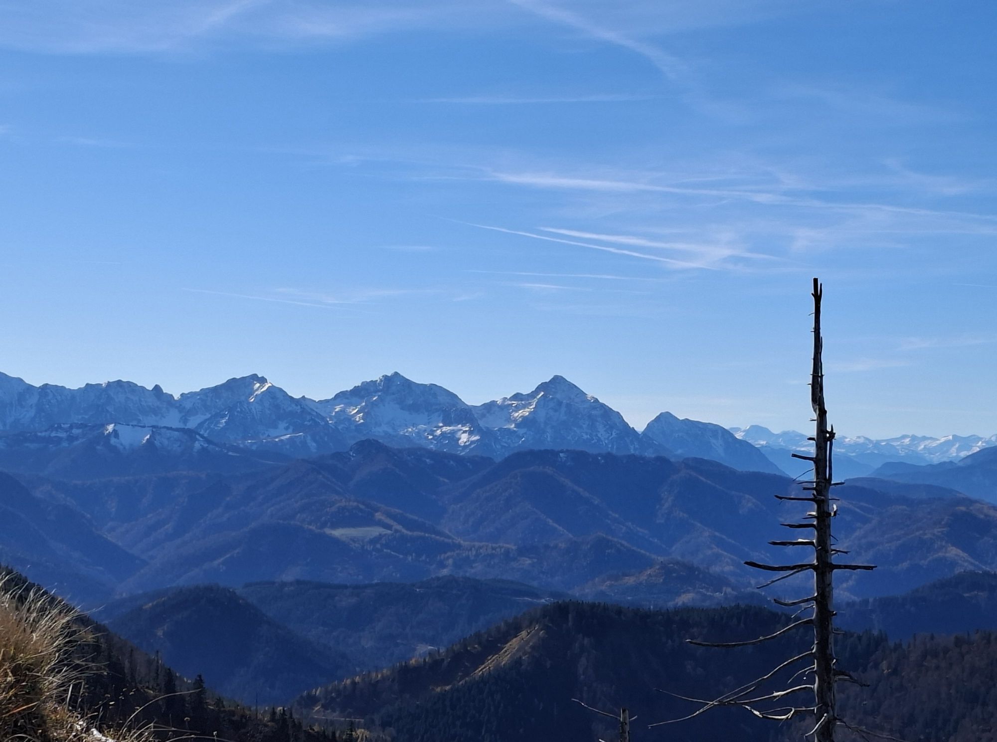
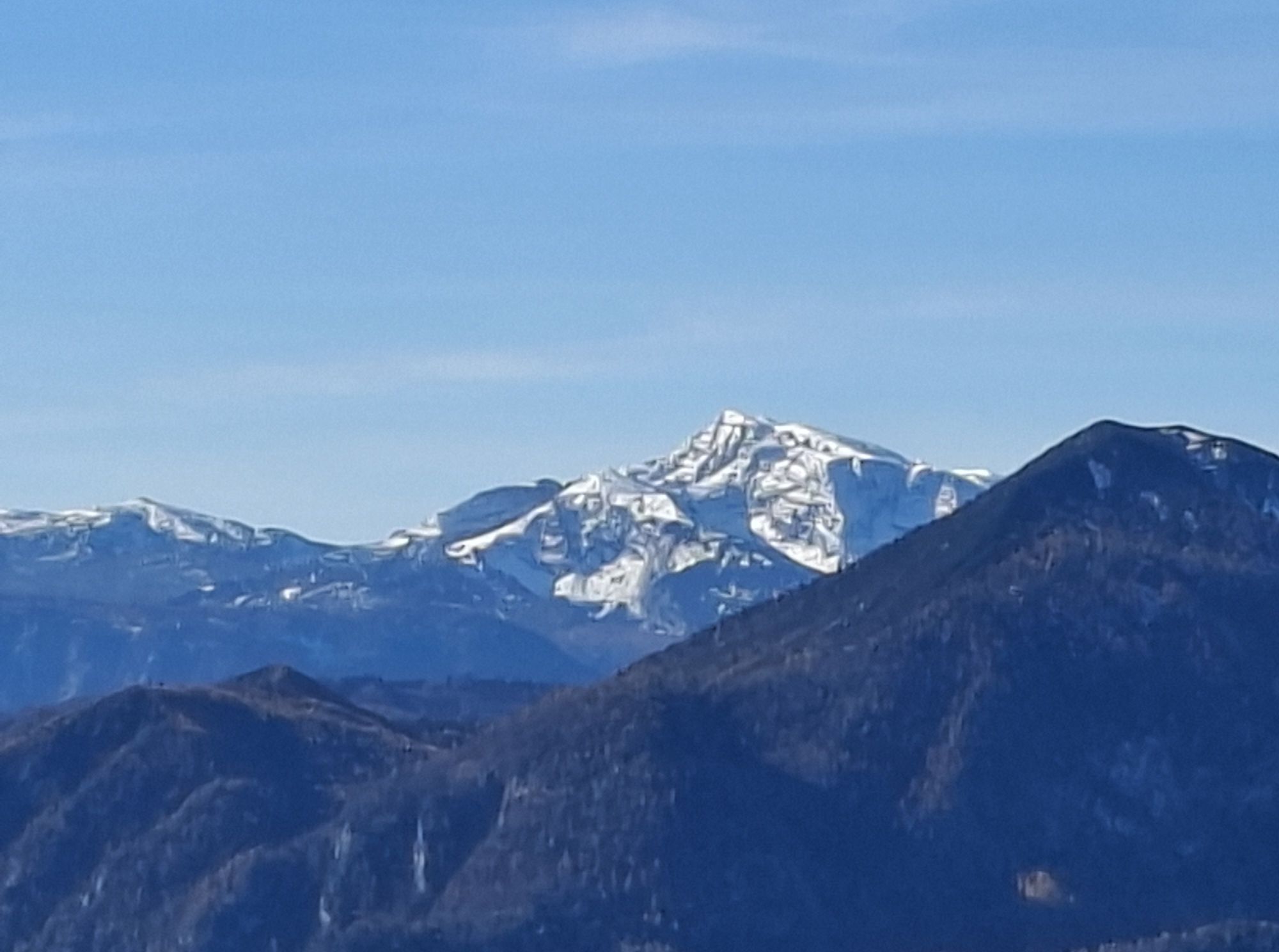
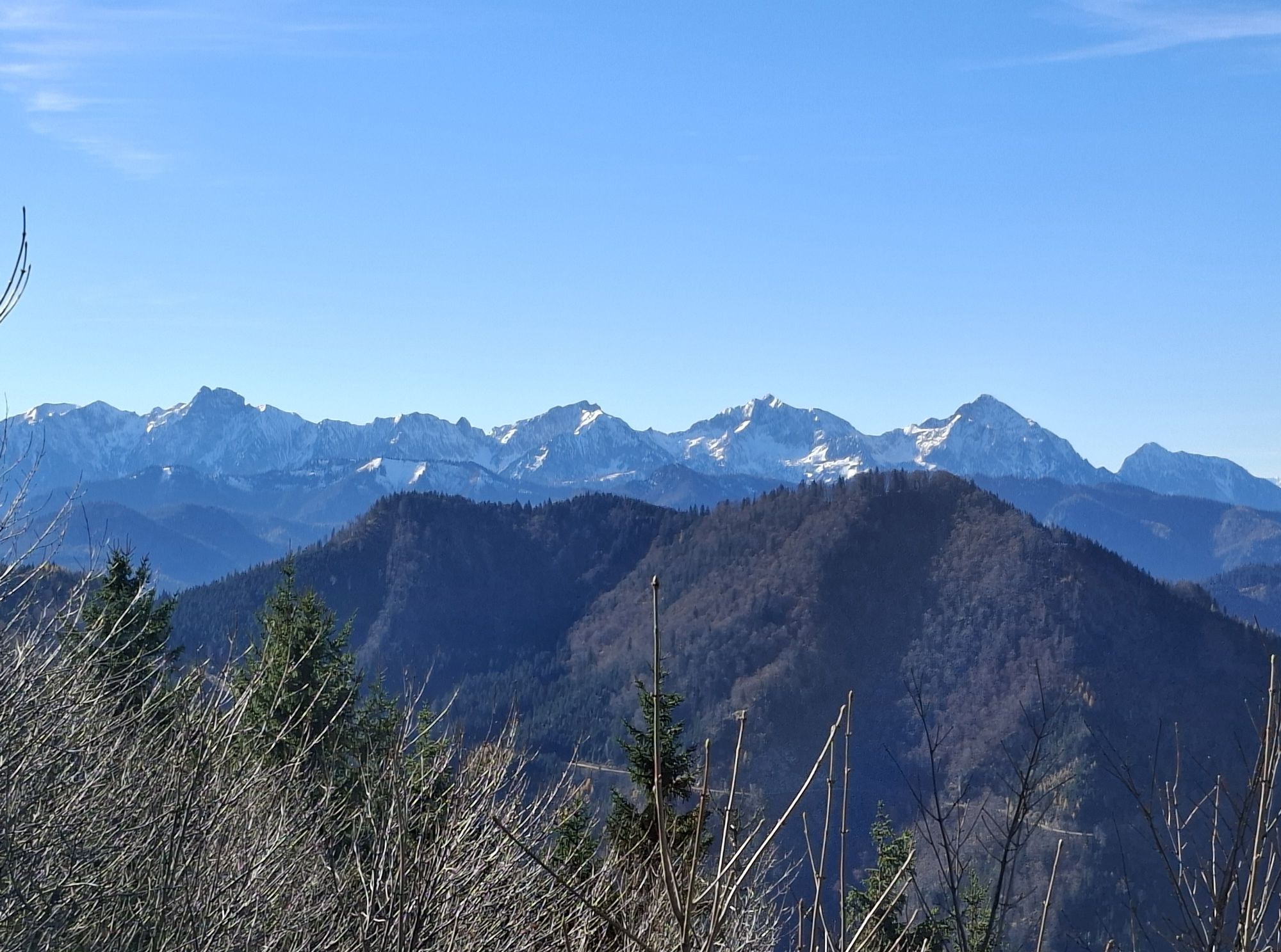
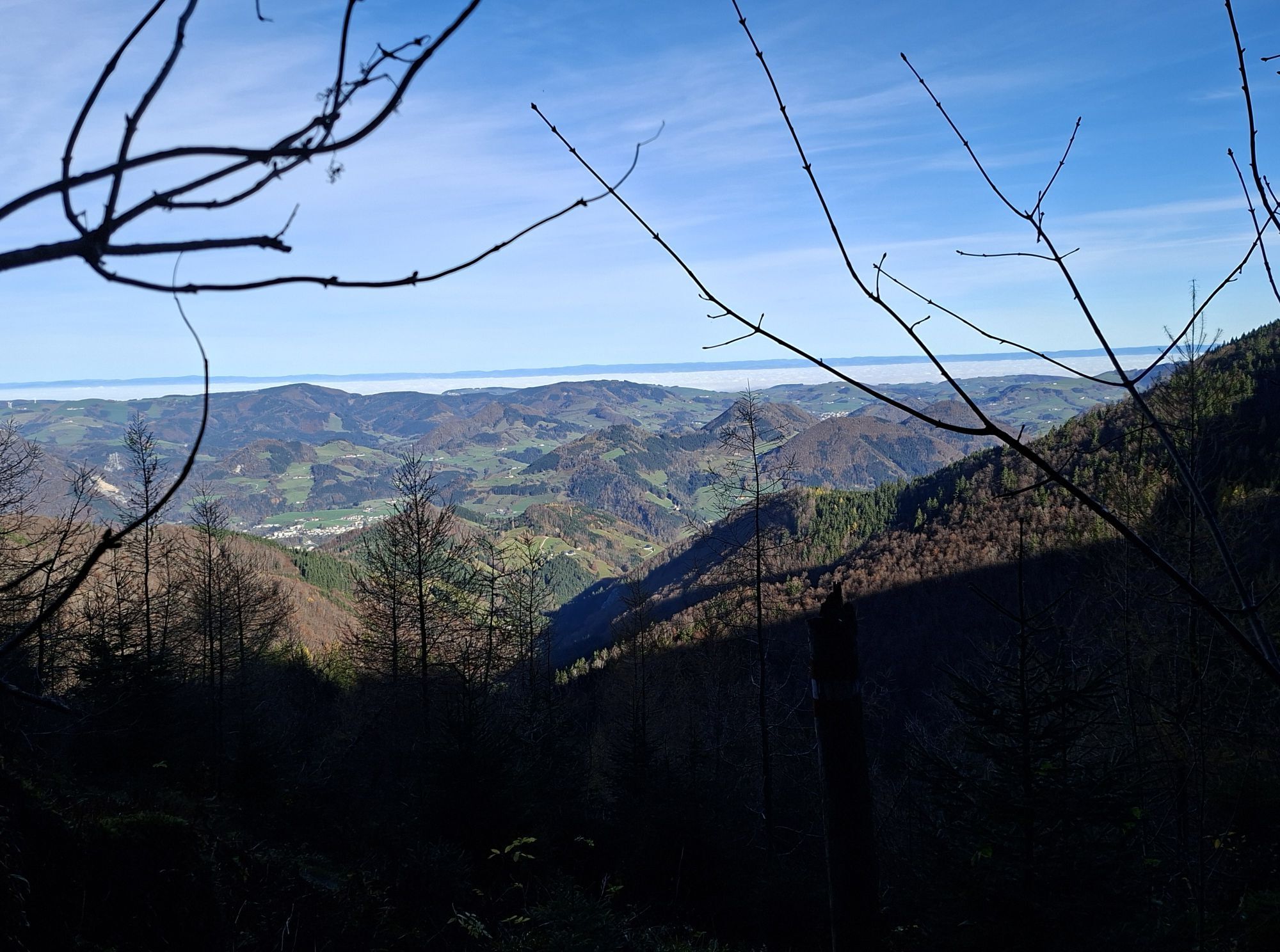
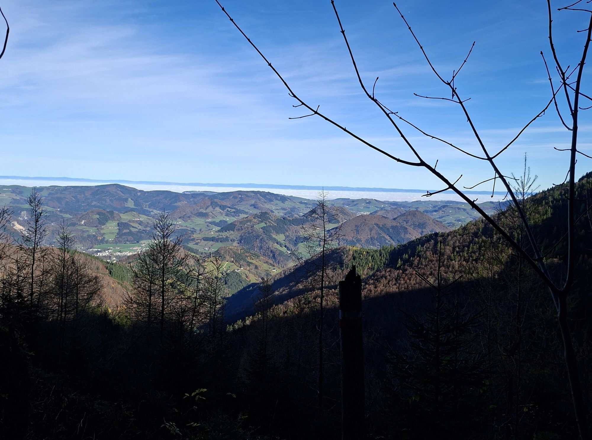
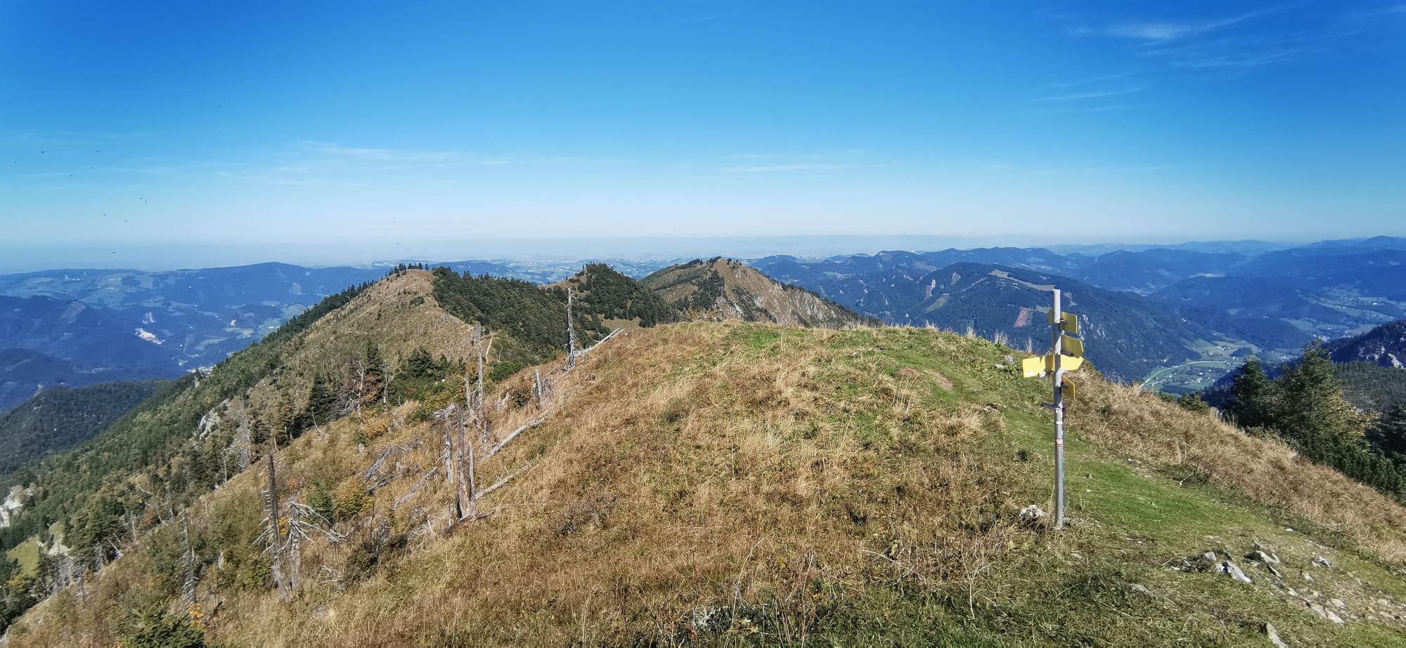
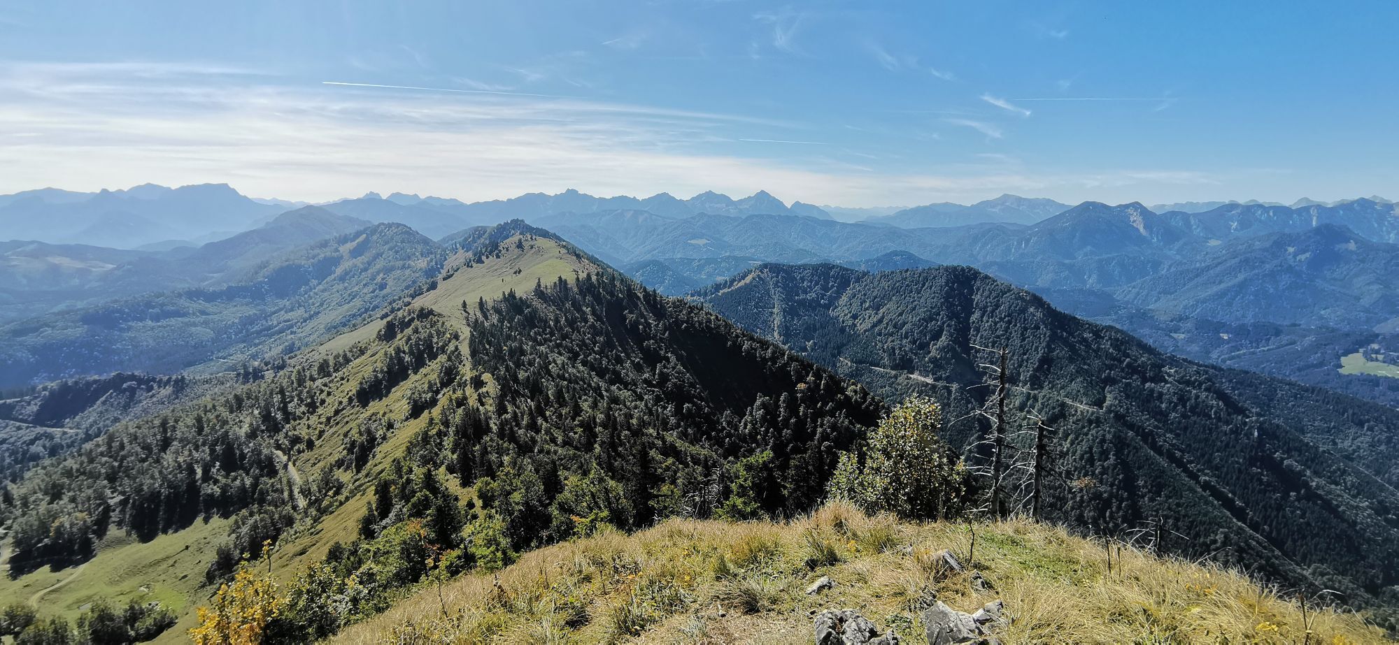
A splendid view over the Kalkalpen National Park and the surrounding mountain world rewards the ascent.
Variants:
Crossing Schüttbauernalm or Anlaufalm on the Dürrensteig ridge - very demanding, only for experienced hikers Descent to Küpfern via Danzersteig to Gschwendtalm circular hike from Nina Hut to Burgspitz and over the ridge to AlmkogelTak
Tak
Tak
From Vienna: A1 motorway exit Haag > B42 > B122 > B115 into the Enns Valley
From Passau: A8 Passau > Wels > A1 motorway exit Enns-Steyr > B115 into the Enns Valley
From Graz: A9 Pyhrnautobahn > motorway exit Klaus > Grünburg > into the Ennstal Valley
Details at www.ooevv.at
Railway Stations are located in Steyr, Garsten, Lahrndorf, Dürnbach, Ternberg, Trattenbach, Losenstein, Reichraming, Großraming, Gaflenz, Weyer, Küpfern, Kastenreith, Kleinreifling and Weißenbach-St. Gallen.
Großraming/Bamacher car park (B115 over Enns bridge, upstream to the turnoff Ennser Hut, uphill to the end of the paved road)
Refuge area with rare plant species and geological peculiarity "Weyrer Bögen"
Aktywności na trasie

Großraming, Oberösterreich/Österreich
10.05.2026 – Wędrówka
Großraming, Oberösterreich/Österreich
03.05.2026 – Wędrówka
Almkogel - Ennser Hütte
05.04.2026 – WędrówkaGroßraming, Oberösterreich/Österreich
13.03.2026 – Wędrówka
Großraming, Oberösterreich/Österreich
27.01.2026 – Wędrówka
Almkogel
03.01.2026 – Rakieta do chodzenia po śniegu
Großraming, Oberösterreich/Österreich
28.12.2025 – WędrówkaGroßraming, Oberösterreich/Österreich
23.11.2025 – Wycieczki górskieGroßraming, Oberösterreich/Österreich
15.11.2025 – WędrówkaGroßraming, Oberösterreich/Österreich
28.09.2025 – E-Bike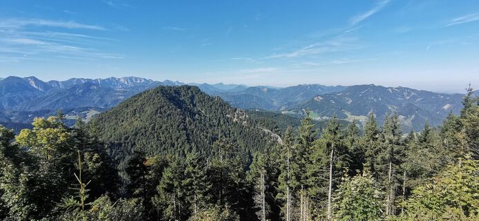
Ennser Hütte - Almkogel 😊
21.09.2025 – Wędrówka
Großraming, Oberösterreich/Österreich
30.08.2025 – Wędrówka
Großraming, Oberösterreich/Österreich
29.08.2025 – WędrówkaGroßraming, Oberösterreich/Österreich
21.08.2025 – Wędrówka
Großraming Wandern
16.03.2025 – Wycieczki górskie
Großraming, Oberösterreich/Österreich
16.02.2025 – Wycieczki górskie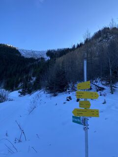
Almkogel über Ennserhütte in Großraming
27.12.2024 – Wędrówka
Großraming Wandern
16.11.2024 – Wycieczki górskieGroßraming, Oberösterreich/Österreich
16.11.2024 – Wędrówka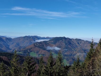
Großraming, Oberösterreich/Österreich
01.11.2024 – Wędrówka
Popularne wycieczki w okolicy
- 4,8
Steinerner Jäger (1185m) und Schieferstein (1206m) ab Parkplatz Hochhabichler
średniWędrówka 4,46 km - 4,7
GROSSRAMING Bamacher, Burgspitz, Almkogel, Ennshütte 20240730
średniWędrówka 10 km - 3,8
Wasserklotz
średniWędrówka 5,81 km - 4,3
Freithofberg
średniWędrówka 9,15 km - 4,7
Steinerner Jäger (1185m) und Schieferstein (1206m) ab Parkplatz Hack
ciężkiWędrówka 8,58 km - 4,2
Sonnkogel (1177m) und Hohe Dirn (1134m) ab Parkplatz Hohe Dirn
średniWędrówka 7,71 km - 4,4
Kleine Gipfelrunde Glasenberg
światłoWędrówka 4,99 km - 3,8
Lindaumauer (1103 m)
Wędrówka 3,40 km - 4,8
R9 Hintergebirgsradweg
średniJazda na rowerze 29,1 km - 4,5
Lindaumauer, Maria Neustift
średniWędrówka 5,53 km

Wędrówki i tropienie


Nie przegap ofert i inspiracji na następne wakacje
Twój adres e-mail została dodana do listy mailingowej.