







Circular route - Bad Weißenbach - Forst - Bad Weißenbach - path no. 1b, 1c
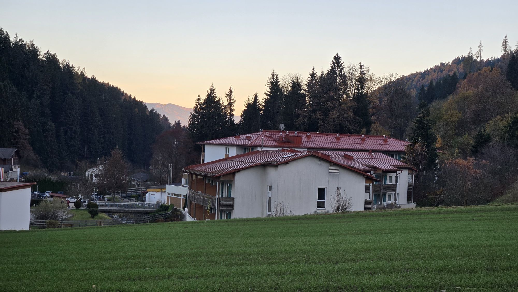
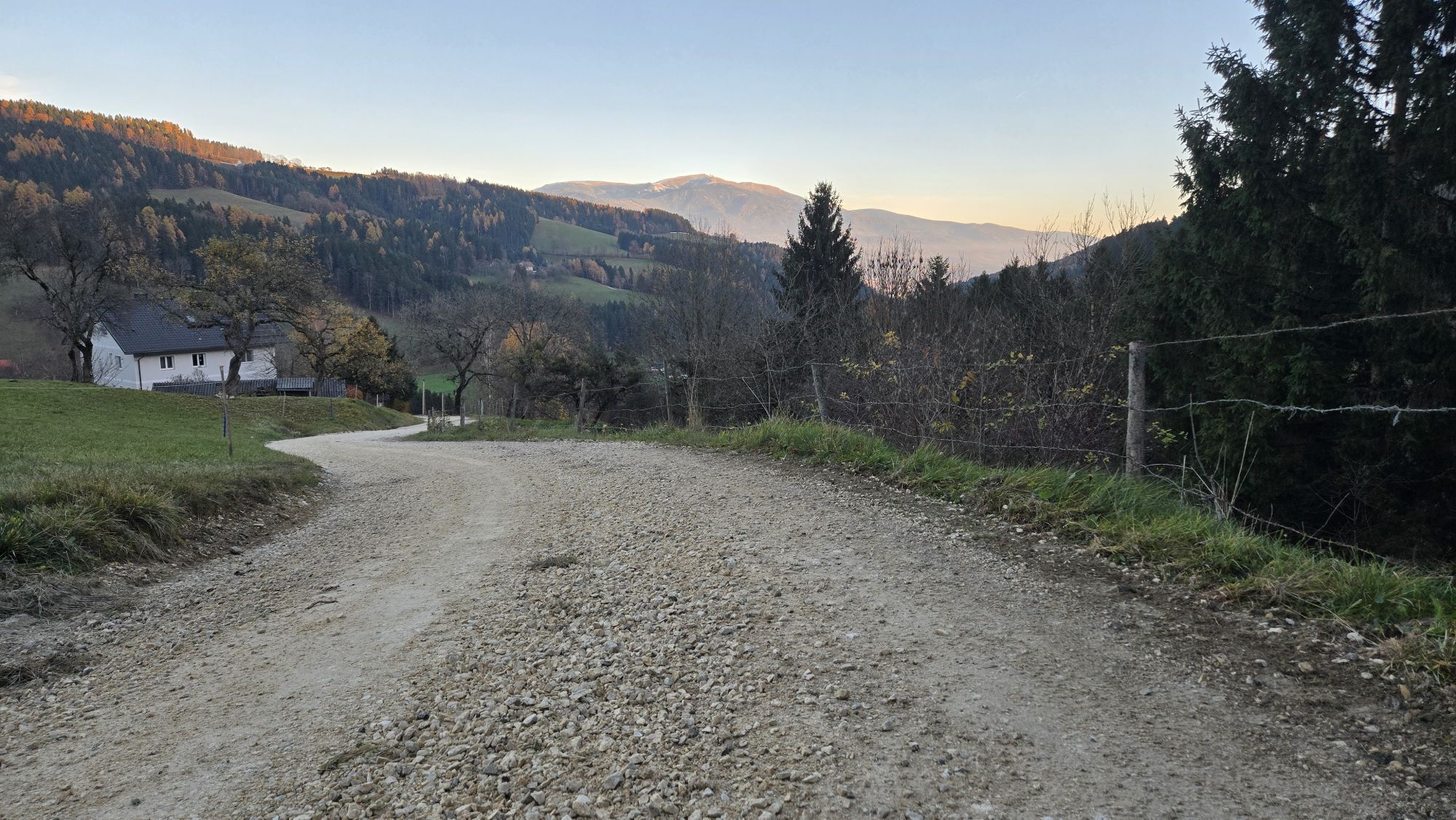
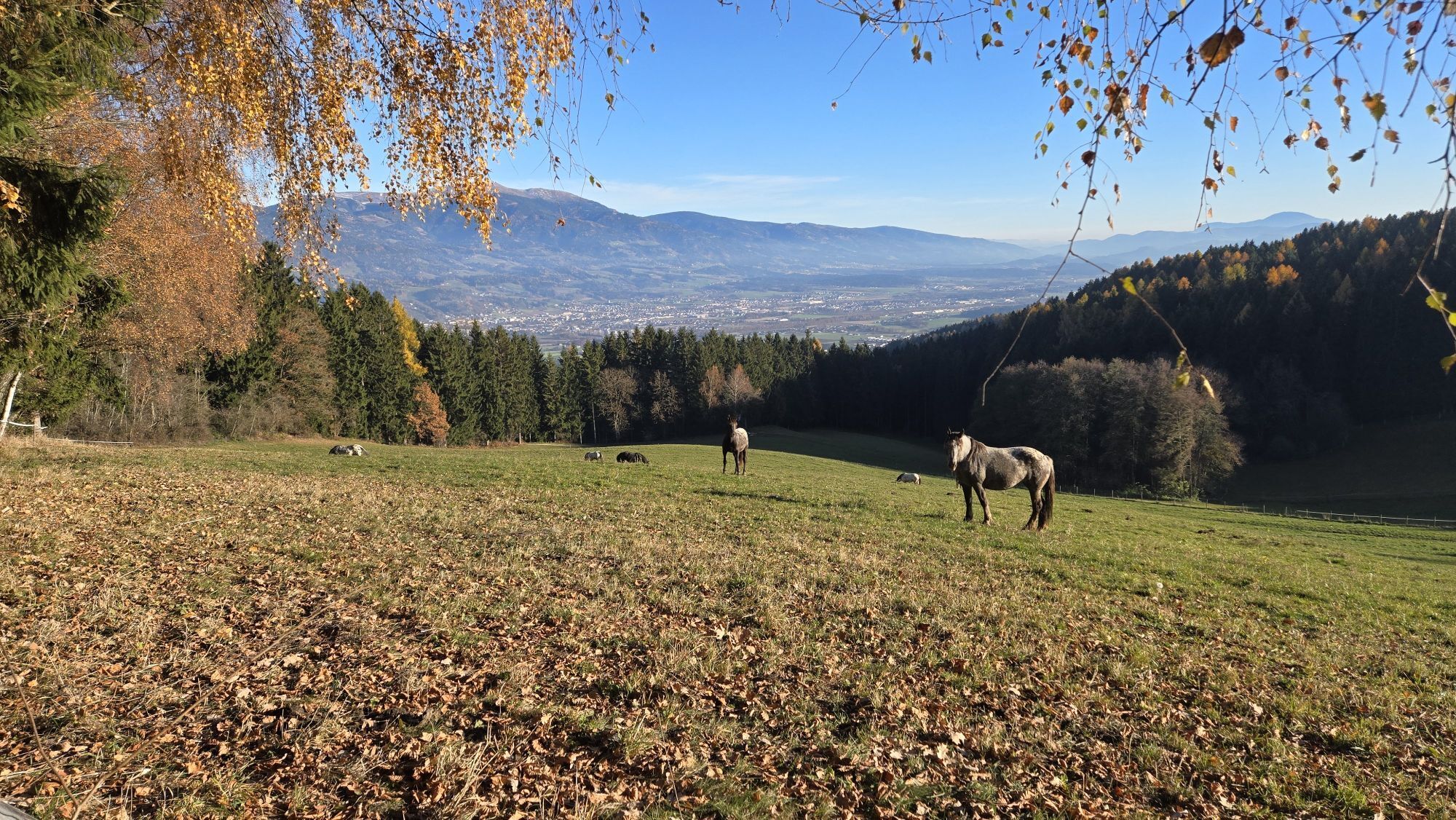
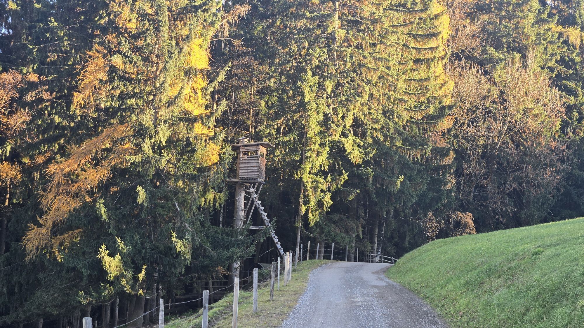
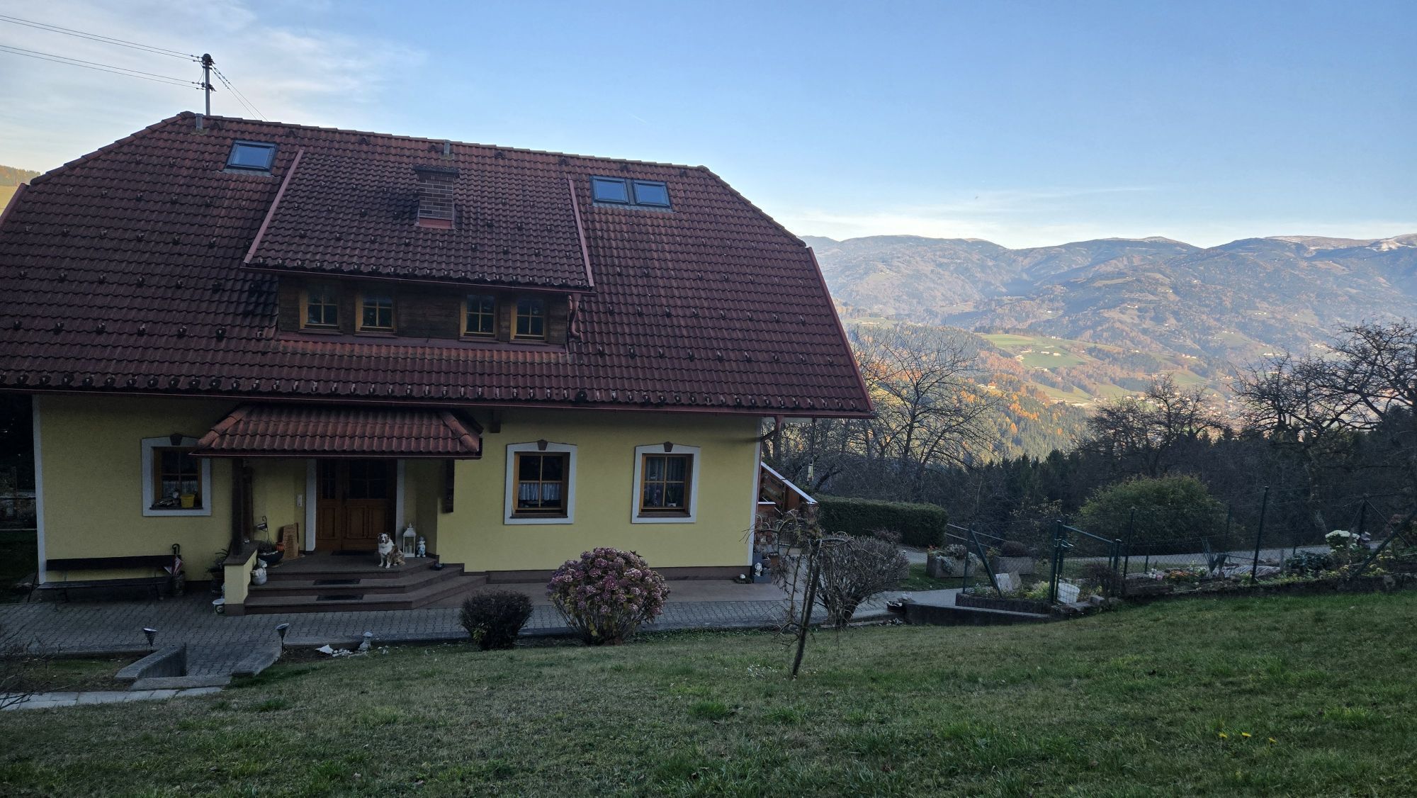
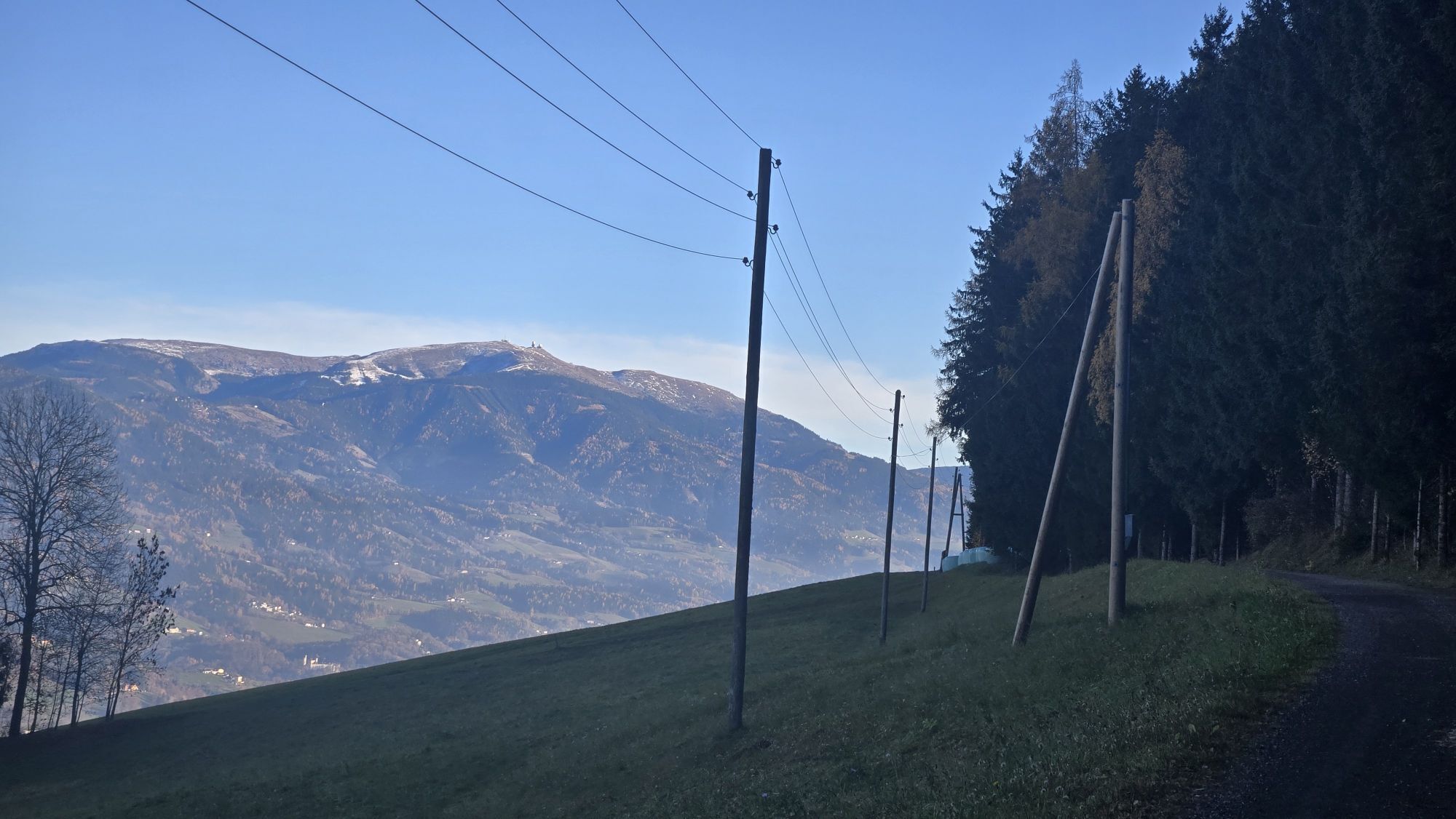
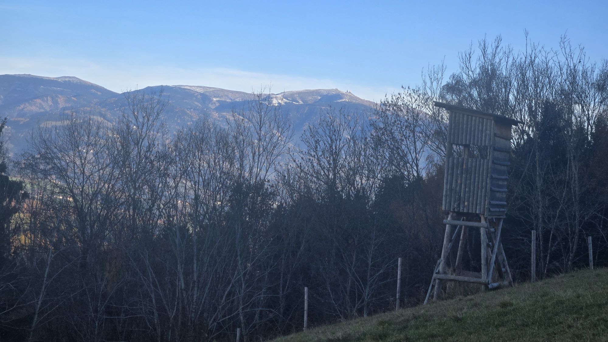
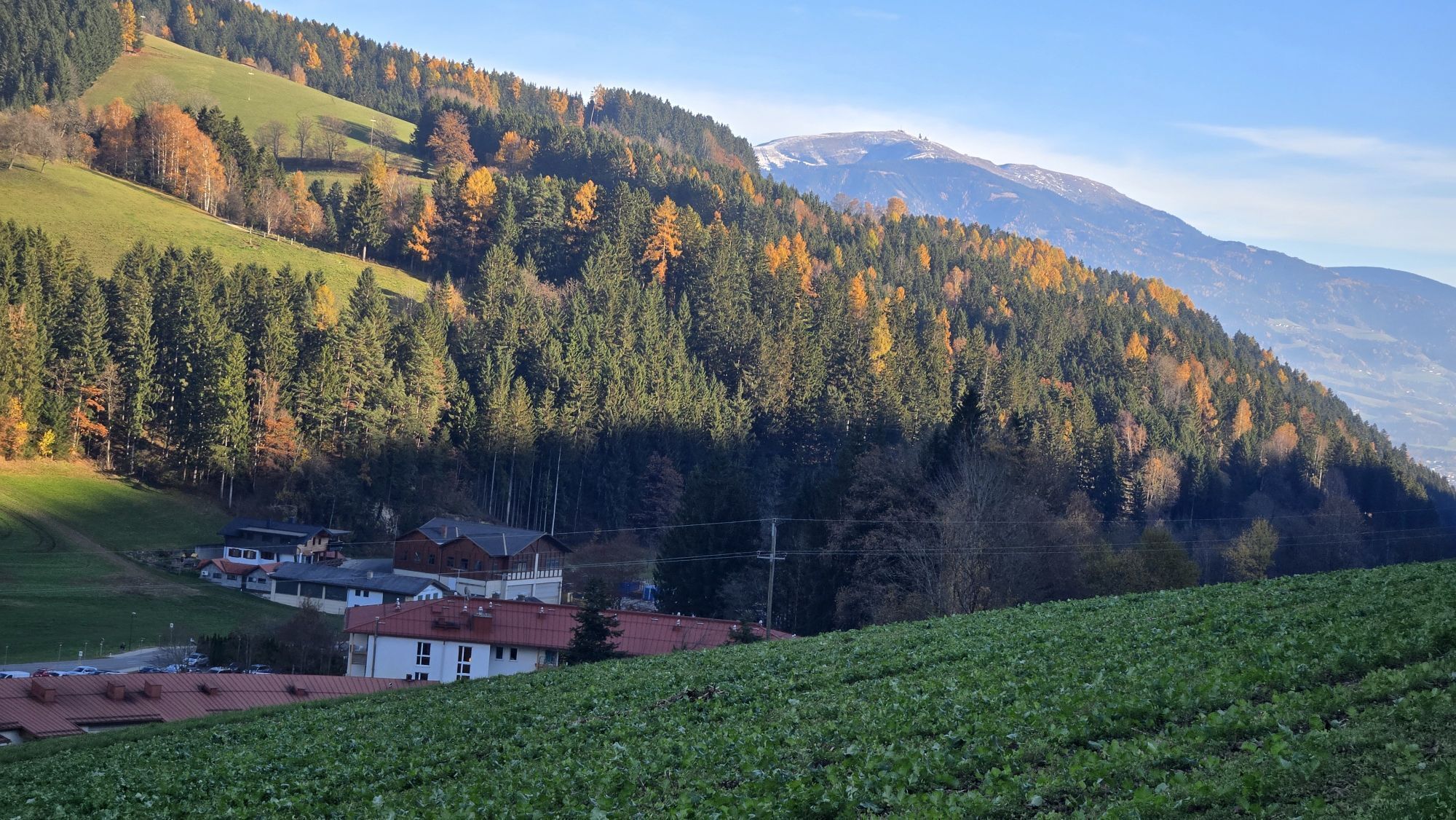
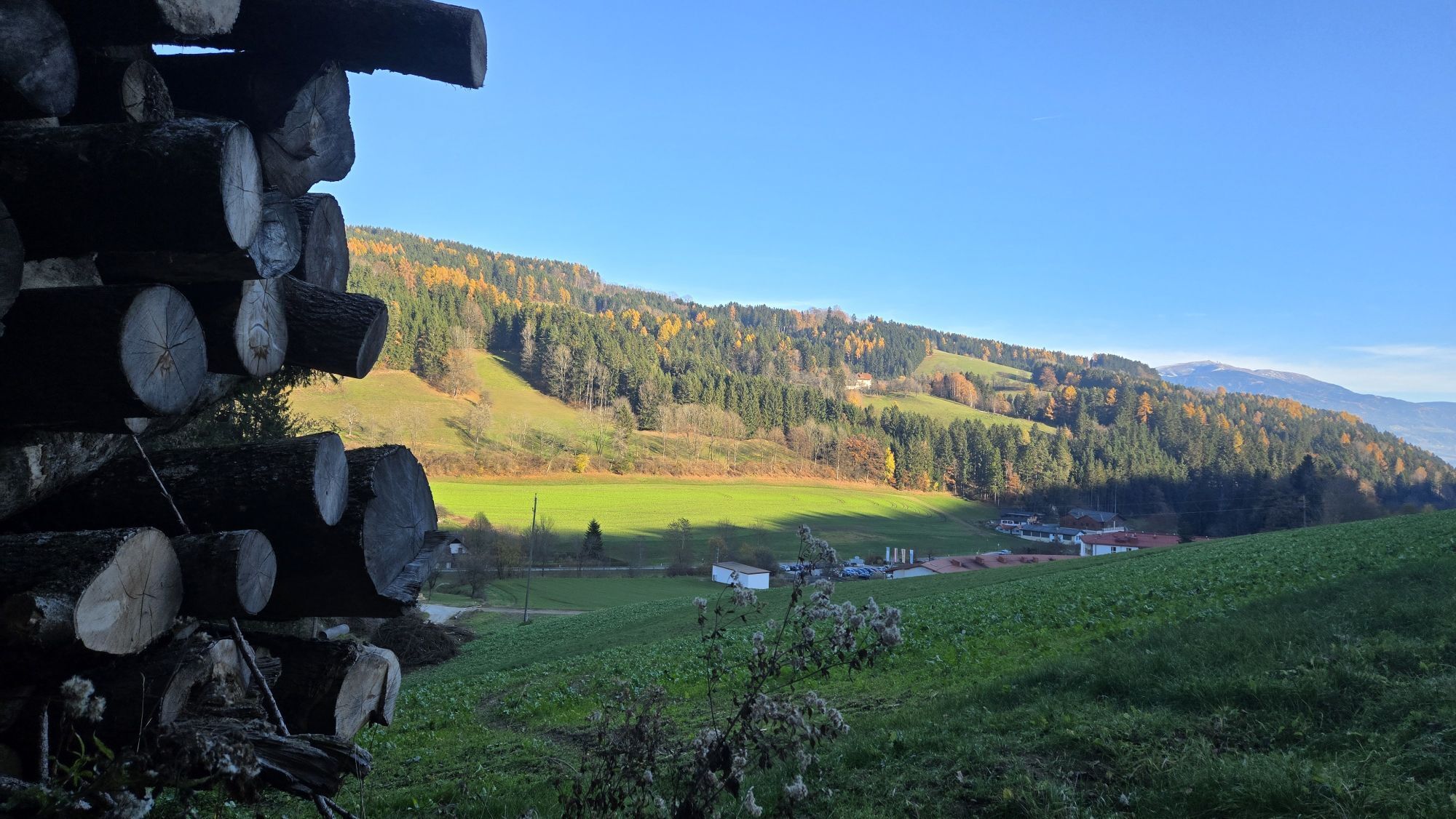
This circular hiking route, which also leads to the mountain village of Forst, is a popular round trip for spa guests from the Bad Weißenbach thermal bath.
The mountain village Forst is a popular holiday...
The mountain village Forst is a popular holiday destination and regarded as the starting point for numerous hikes into the Saualpe area.
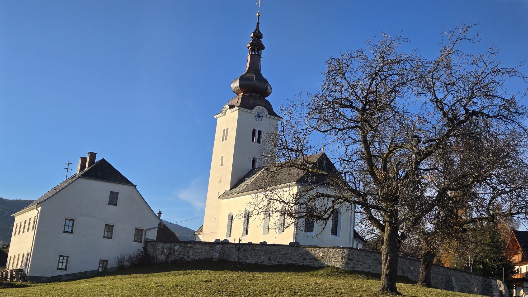
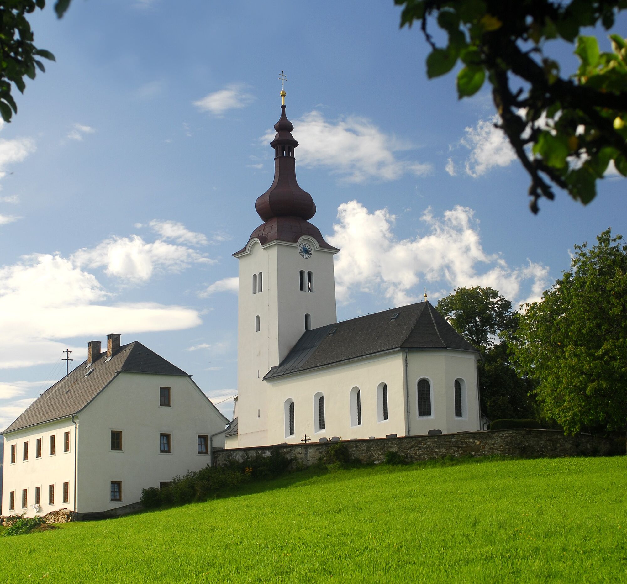
The baroque church dedicated to Saint John the Baptist with the late baroque high altar was originally a hunters' chapel.
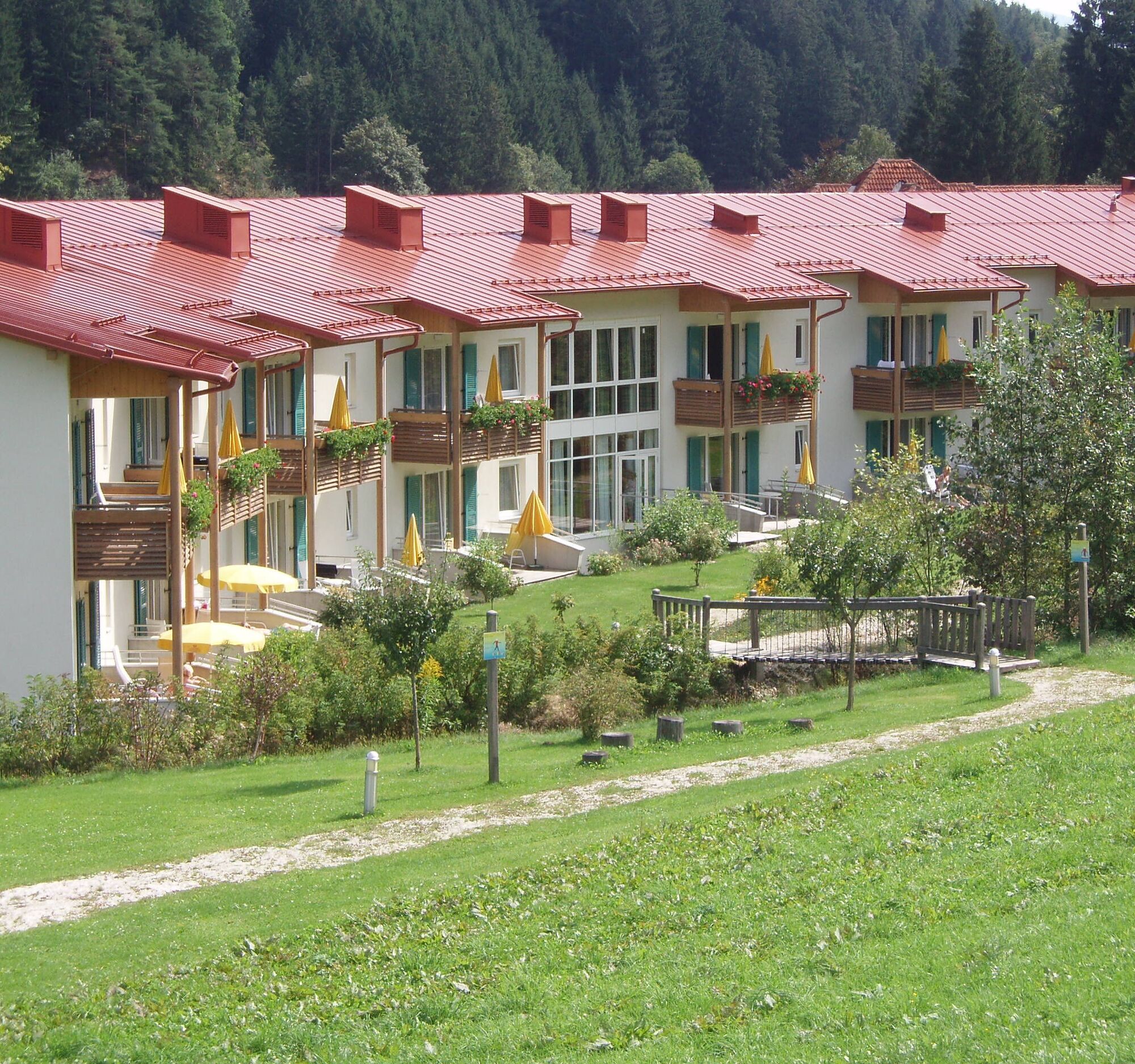
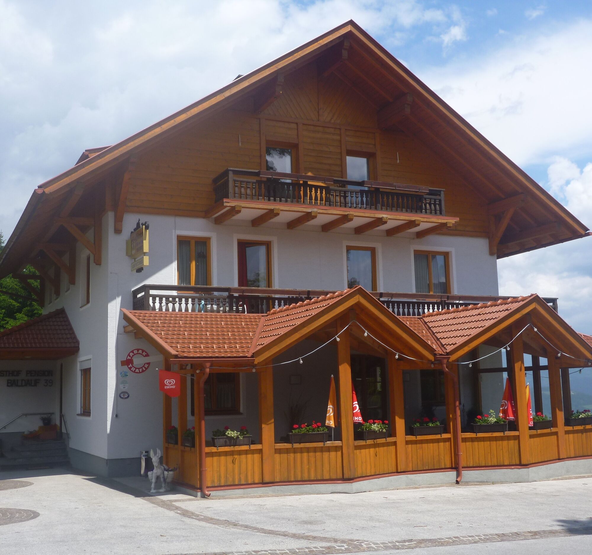
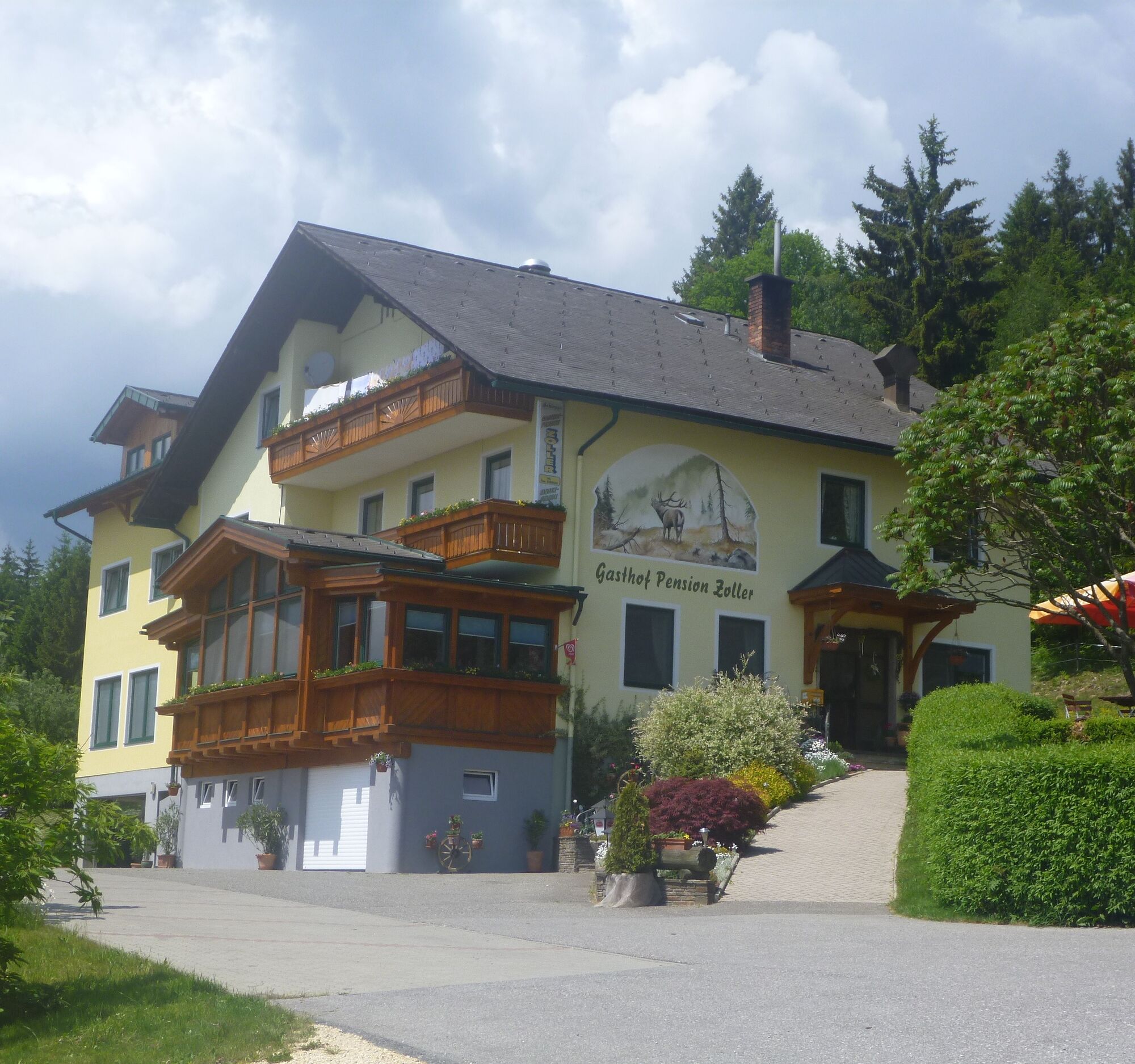
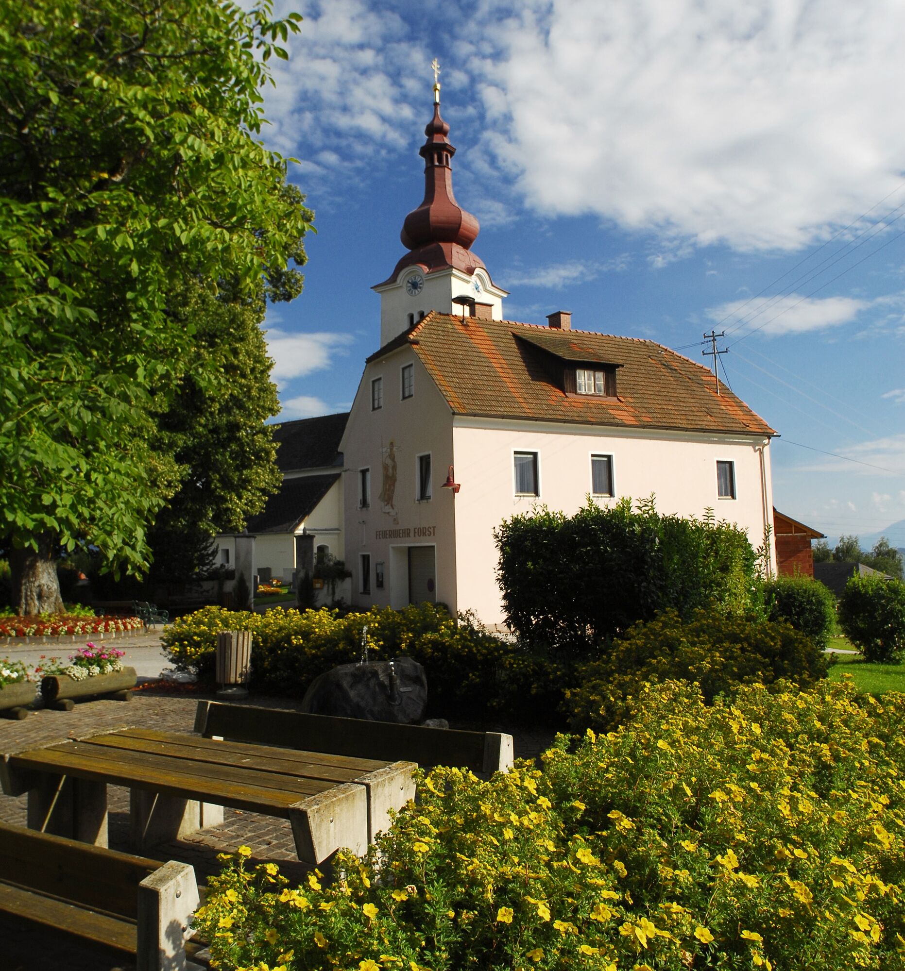
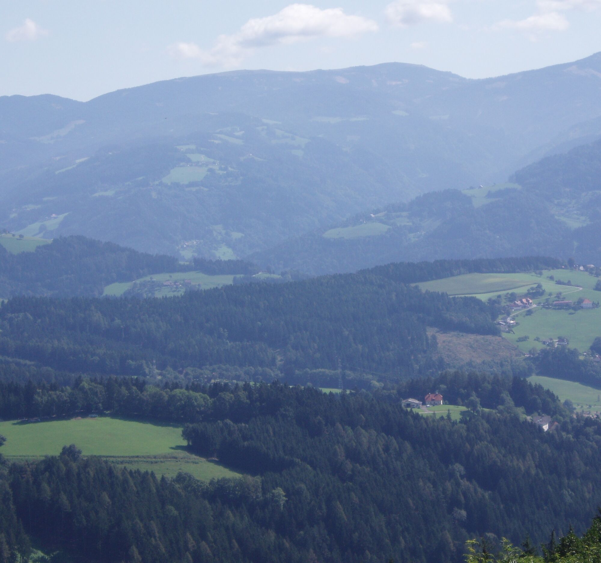
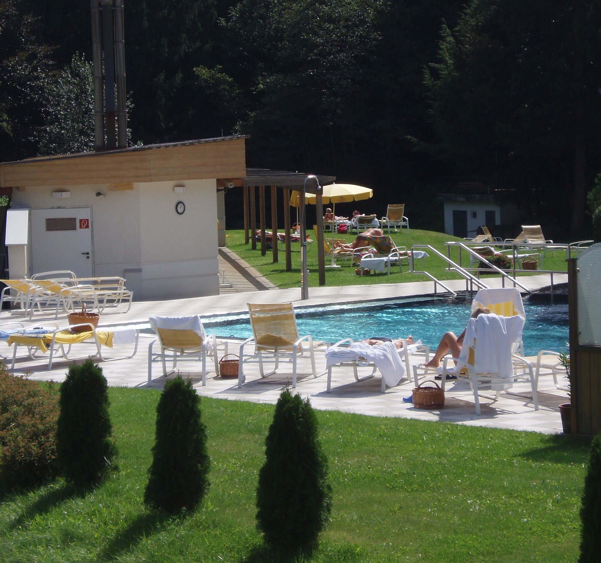
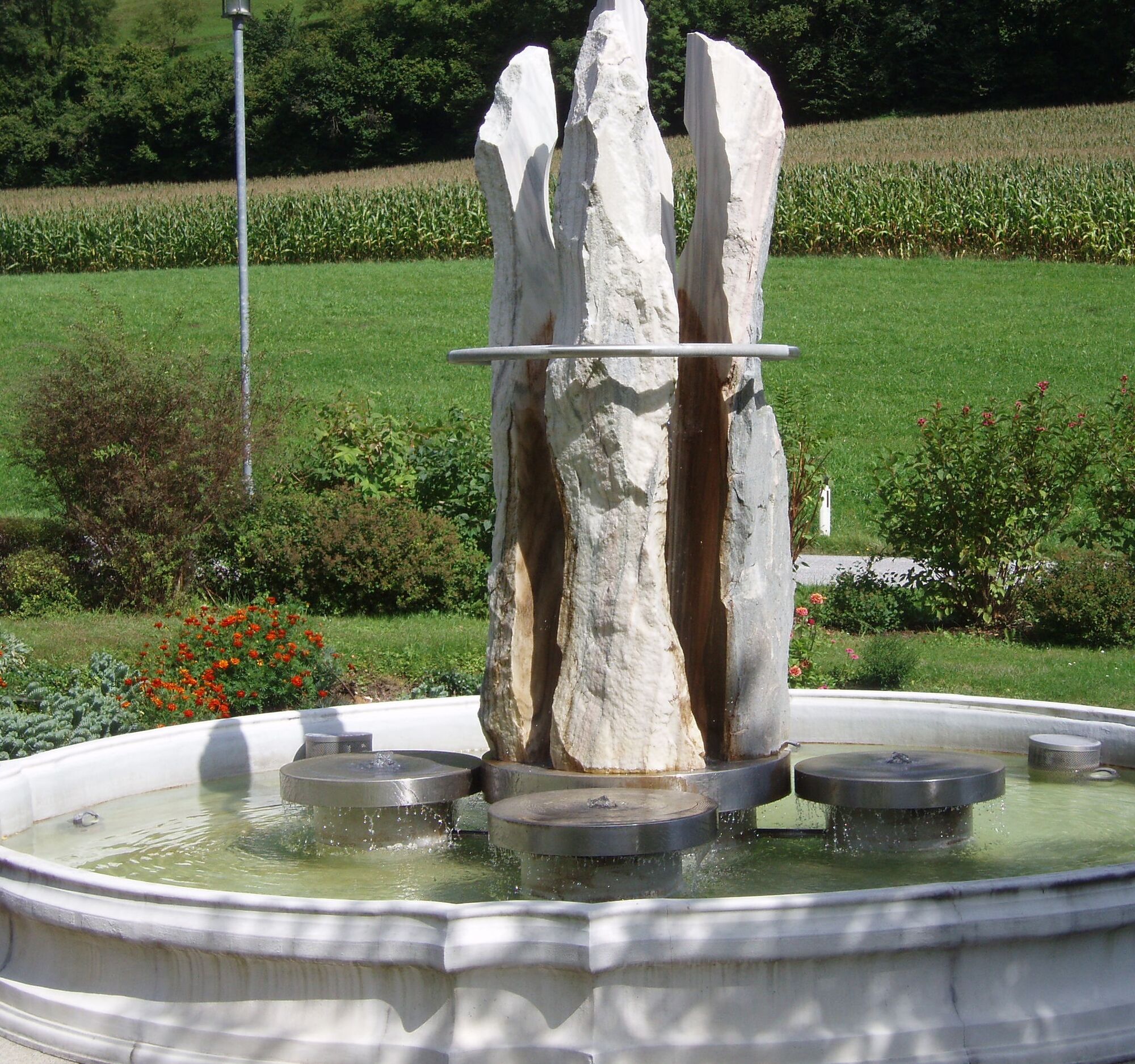

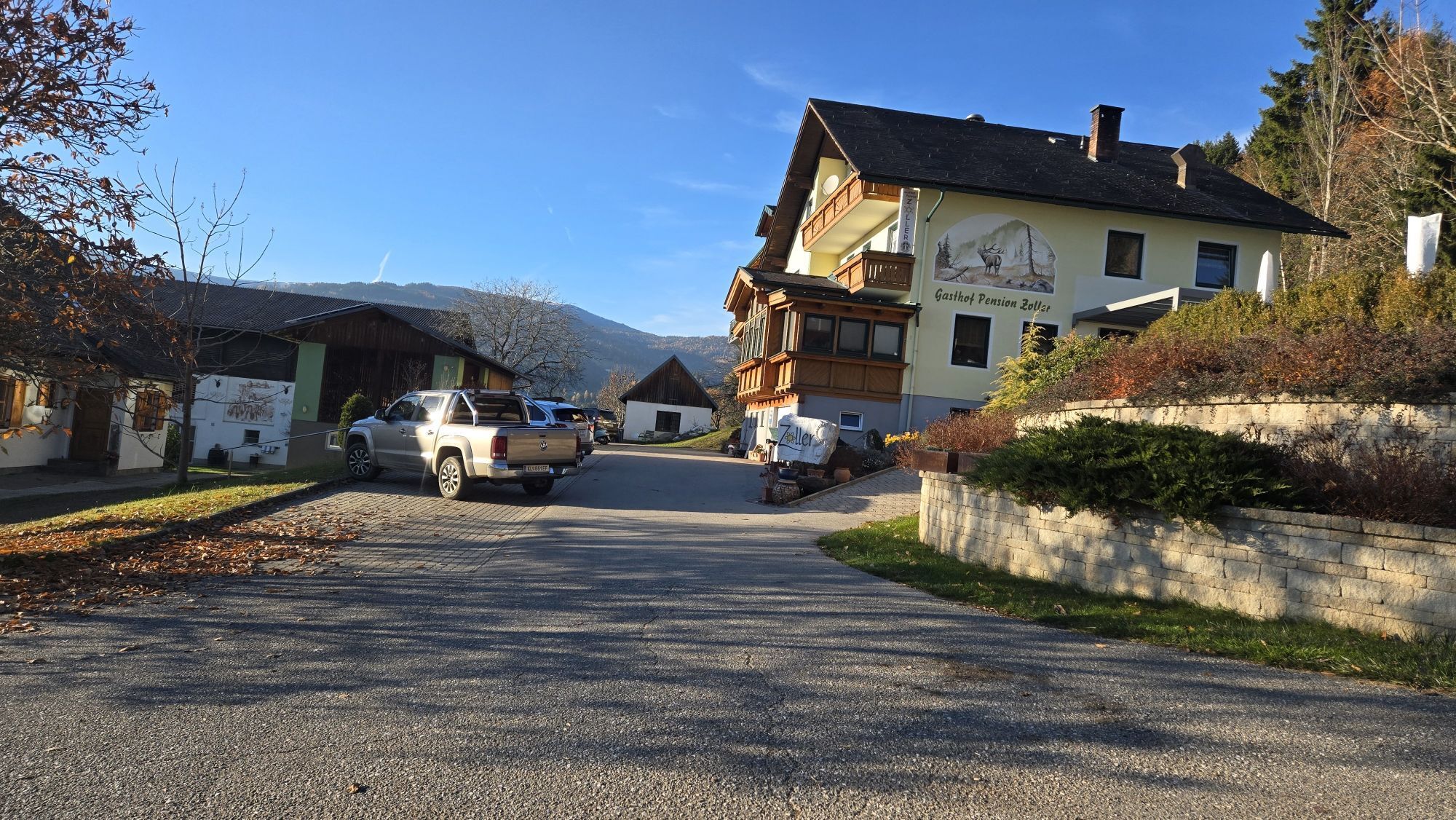
From the Bad Weißenbach spa center, walk over the Steffl bridge, turning right towards Steffl/Fuchs (hiking path no. 1b/1c). At the junction towards Fuchs, turn left (hiking path no. 1b) towards Forst. In the village of Forst, follow the signs for Gasthof Zoller/St. Margarethen (hiking path no. 1c). After Gasthof Zoller, turn left and follow the signs (Bad Weißenbach hiking path no. 1c).
Tak
Hiking shoes, rainwear
From Wolfsberg via St. Jakob - St. Margarethen and Weißenbach road to Bad Weißenbach.
City bus
Parking lot at the Bad Weißenbach thermal bath
(can be read in the book "Legendary Lavantal")
 Uzyskaj wgląd
Zawsze na żywo z ponad 9 500 kamer internetowych. bergfex Jako użytkownik Pro, możesz teraz zobaczyć odpowiednie kamery internetowe dla wielu wycieczek w aplikacji wycieczki od. Pozwala to na bezpośredni podgląd aktualnych warunków.
Uzyskaj wgląd
Zawsze na żywo z ponad 9 500 kamer internetowych. bergfex Jako użytkownik Pro, możesz teraz zobaczyć odpowiednie kamery internetowe dla wielu wycieczek w aplikacji wycieczki od. Pozwala to na bezpośredni podgląd aktualnych warunków.
Popularne wycieczki w okolicy
-
4,5
Klippitztörl - Geierkogel loop trail no. G
średniWędrówka 6,79 km -
4,5
Bad St. Leonhard: L5 hike Kliening - Sauerbrun
średniWędrówka 9,49 km -
4,8
Steinerhütte-kl.+gr. Sauofen zum Gertrusk und zurück
światłoWędrówka 15,0 km -
4,1
Vom Klippitztörl auf die Forstalm mit Geierkogel und Steinerner Hochzeit.
średniWędrówka 10,5 km -
5,0
Weißbergerhütte - Gertrusk - Ladingerspitz
średniWędrówka 8,95 km -
4,8
Winter sun on the Saualm
światłoRakieta do chodzenia po śniegu 4,70 km -
4,7
Klippitztörl: Tour 6 - Geierkogeltour
średniRakieta do chodzenia po śniegu 6,80 km -
4,6
Saualpe: Hut route - circular hike
średniWędrówka 15,3 km -
4,2
Saualpen ridge – Speikkogel, Großer and Kleiner Sauofen
średniWędrówka 10,8 km -
4,0
Klippitztörl: circular hike
średniWędrówka 10,1 km
Wędrówki i tropienie


Nie przegap ofert i inspiracji na następne wakacje
Twój adres e-mail została dodana do listy mailingowej.





