


Klippitztörl: Hocheggerweg Path no. H
Zdjęcia naszych użytkowników

 © Glanzer JuliusUtworzono dnia 13.02.2026
 © Andreas PechUtworzono dnia 13.08.2024
 © Andreas PechUtworzono dnia 13.08.2024
 © Andreas PechUtworzono dnia 09.08.2024
 © FloUtworzono dnia 23.02.2026
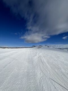 © FloUtworzono dnia 23.02.2026
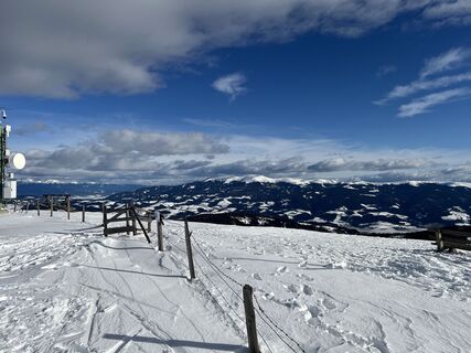 © FloUtworzono dnia 23.02.2026
 © FloUtworzono dnia 23.02.2026
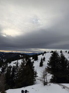
 © Domonkos DezsőUtworzono dnia 12.01.2026
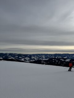 © Domonkos DezsőUtworzono dnia 12.01.2026
 © Manfred EibelUtworzono dnia 26.12.2025
 © Miklos SzabadkaiUtworzono dnia 07.08.2025
 © schenkeliUtworzono dnia 02.02.2025
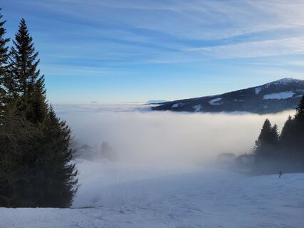 © schenkeliUtworzono dnia 02.02.2025
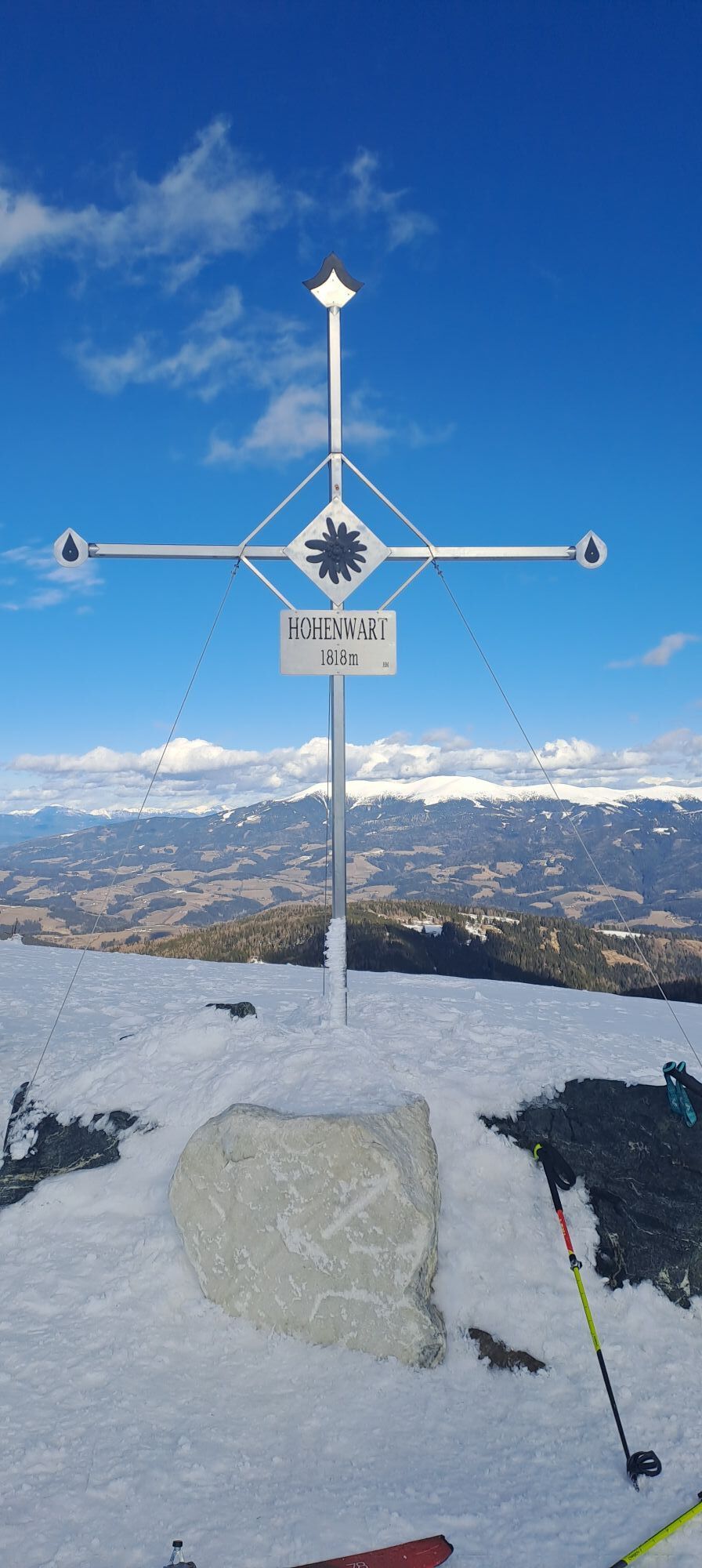
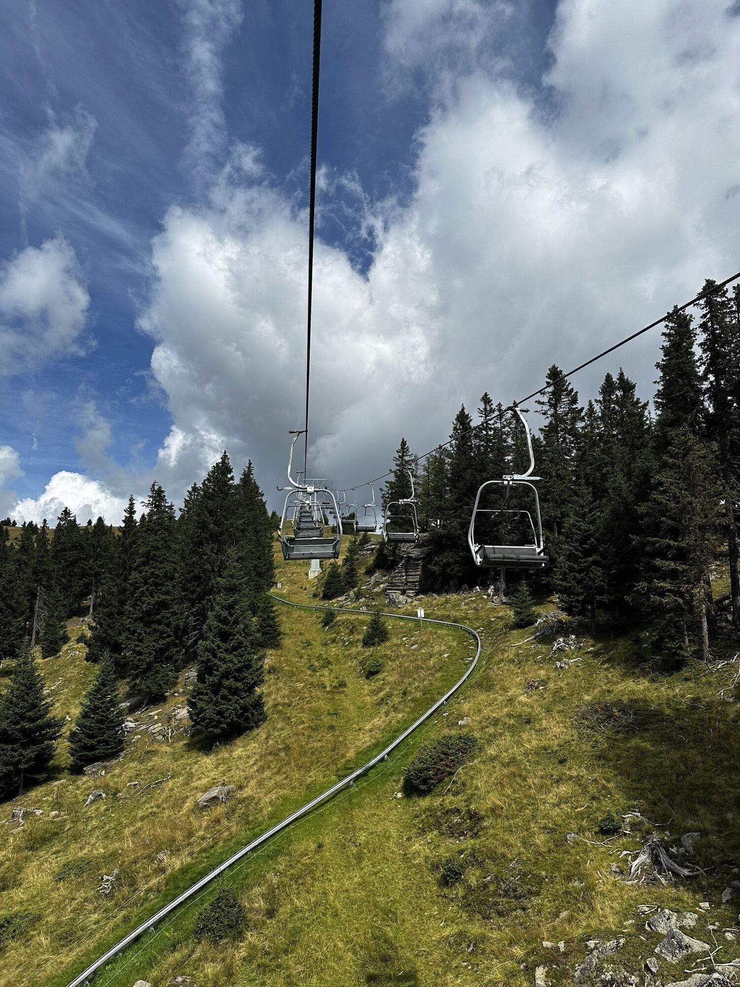


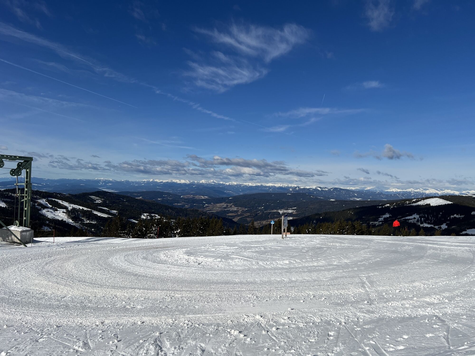
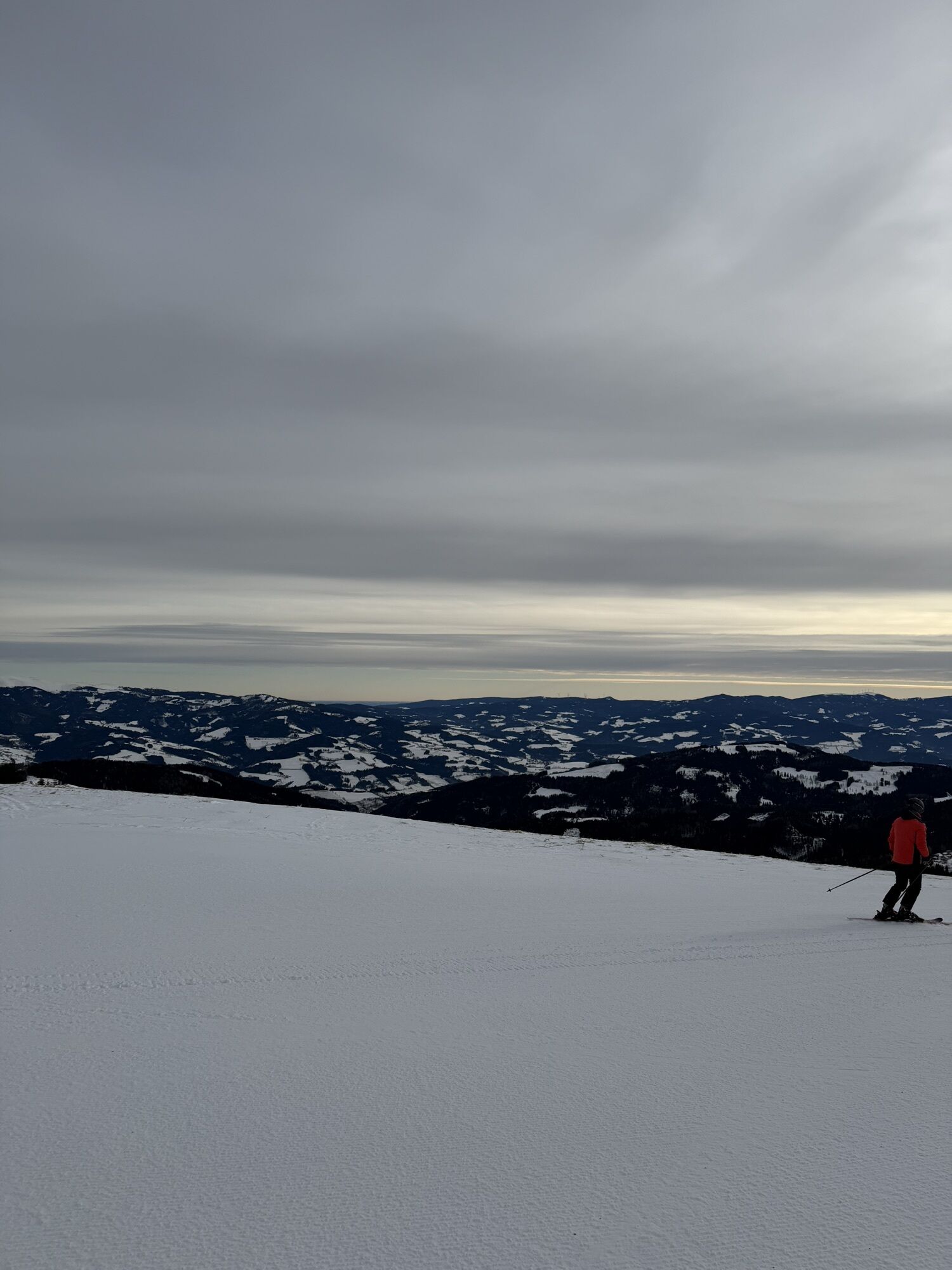


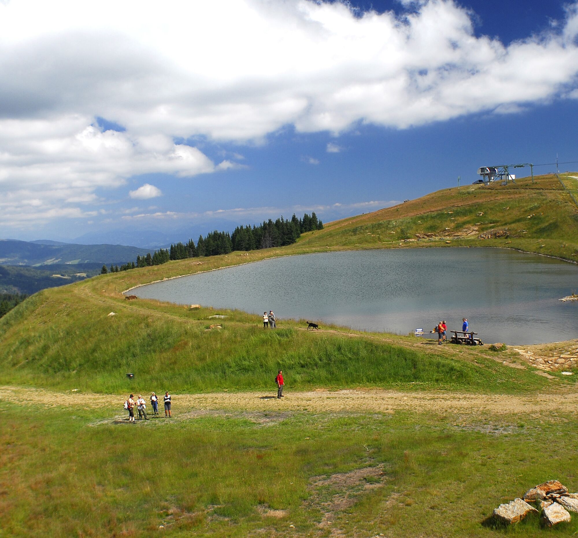
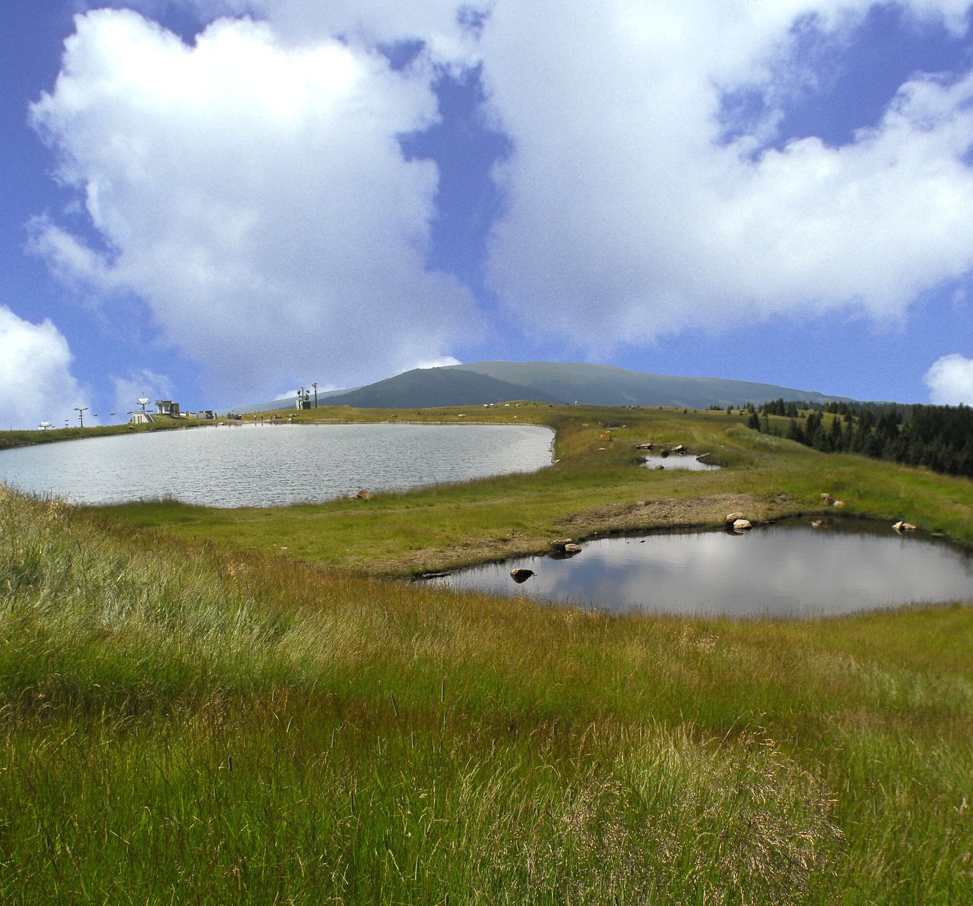
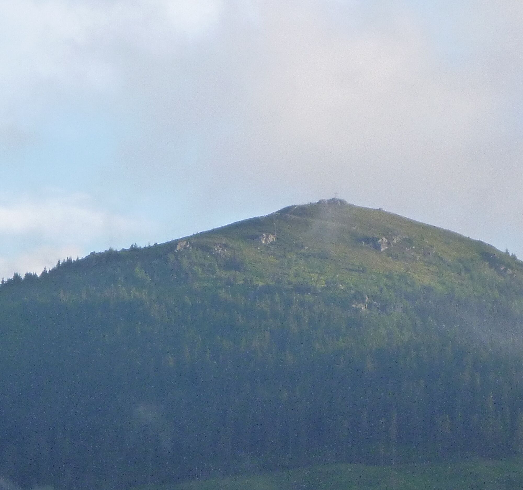
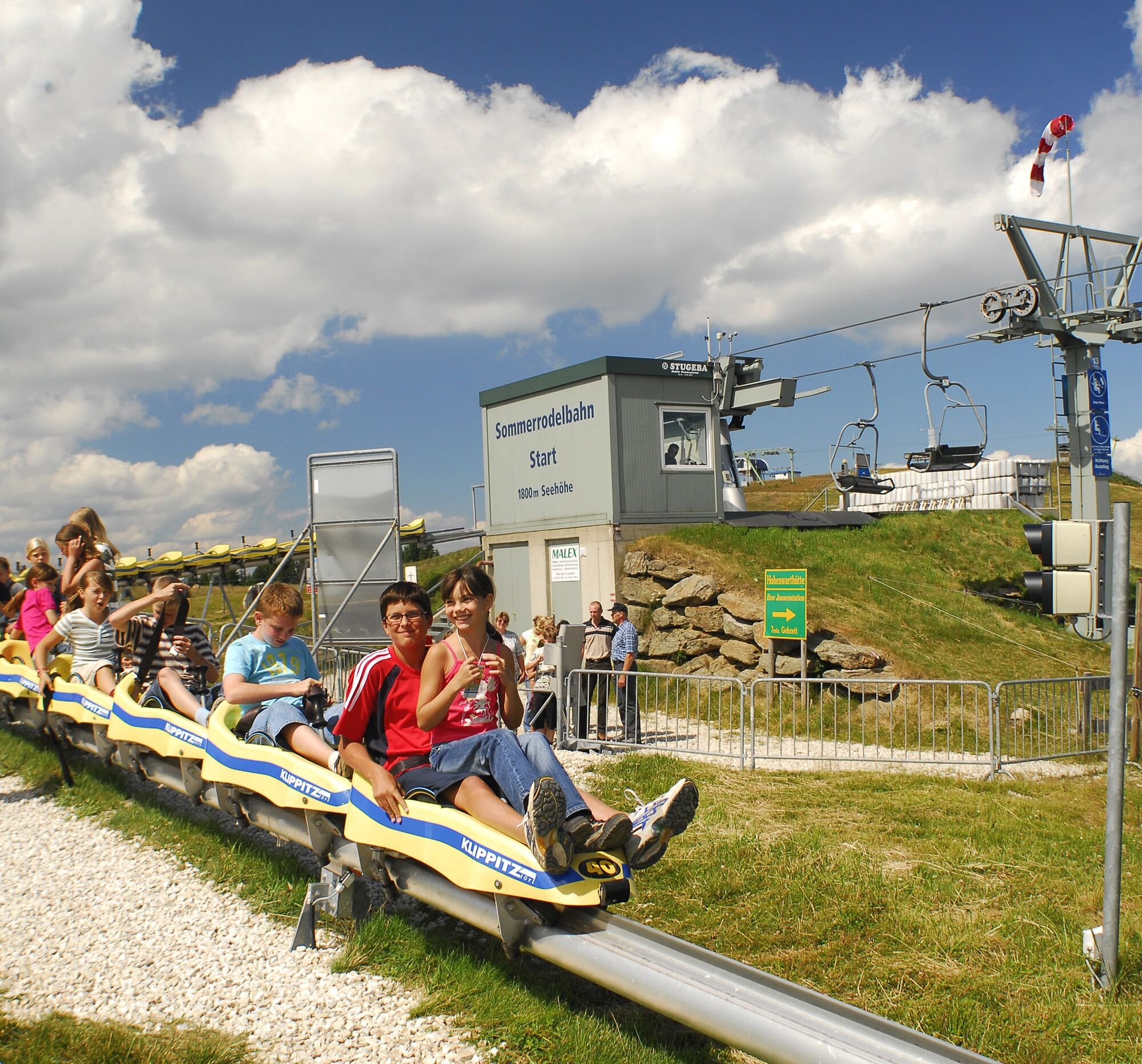
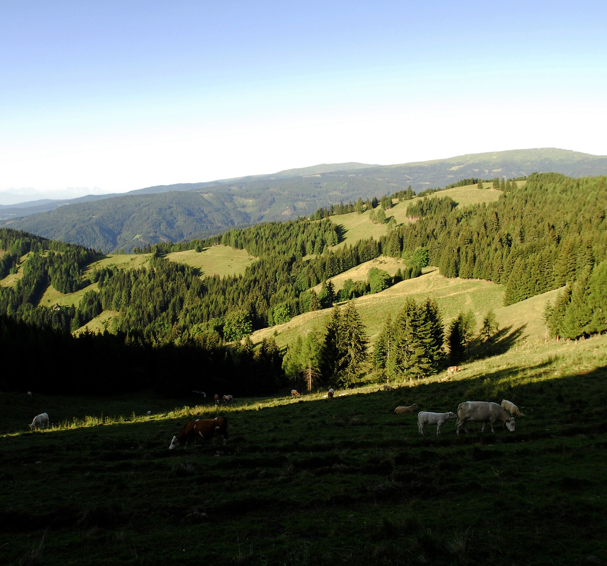
From the parking lot on the Klippitztörl country road (1530m), past the valley station of the double chairlift behind the Hotel Hochegger. Path no. 1. It goes left, up the switchbacks through the alpine hut village, then along the summer toboggan run, before the toboggan run bridge turn right to the junction with the Hohenwart path, continue uphill to the Hohenwart hut (serviced, 1720m). Following the sign with the number 12, turn left on the path towards the chairlift up to sign 13. Here the path to the Nature Friends House branches off to the left. We keep right towards the chairlift mountain station and reach the destination Hohenwart (1,818m). Here you have a magnificent view of Klippitzsee and Zirbitzkogel, as well as the entire Lavant valley.
Tak
Tak
Hiking boots - rain protection
Wolfsberg - St. Margarethen - Preims - Klippitztörl parking lot Hotel "Alpengasthof Hochegger" approx. 25 km
Hiking bus in July / August
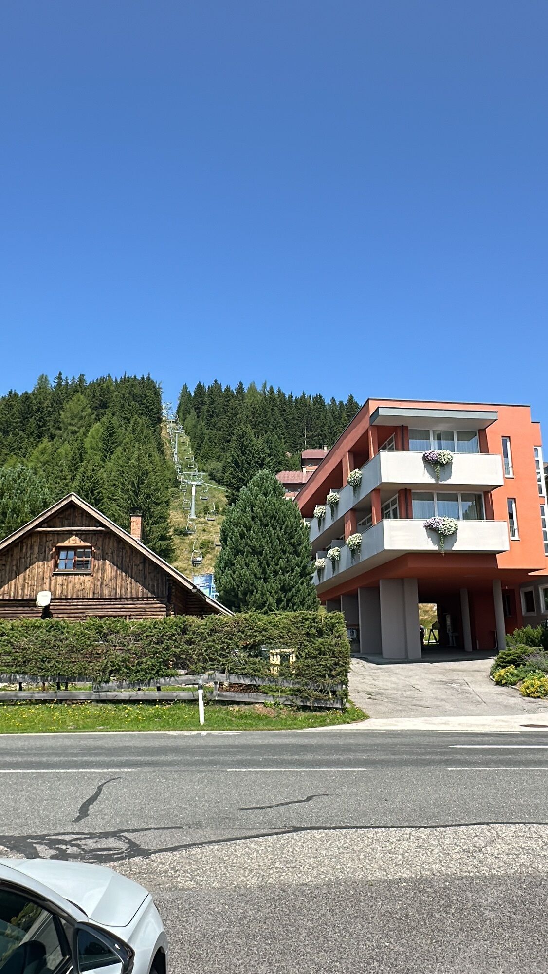
Parking lot - Hotel "Alpengasthof Hochegger" on the Klippitztörl country road
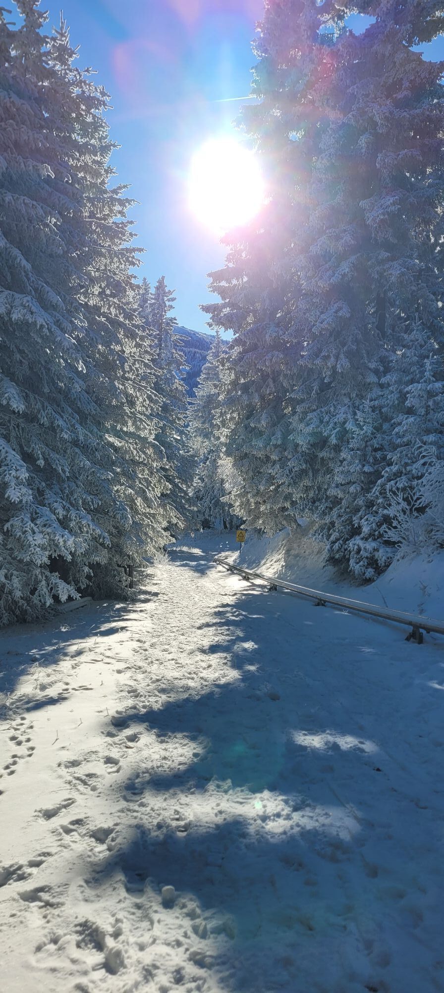
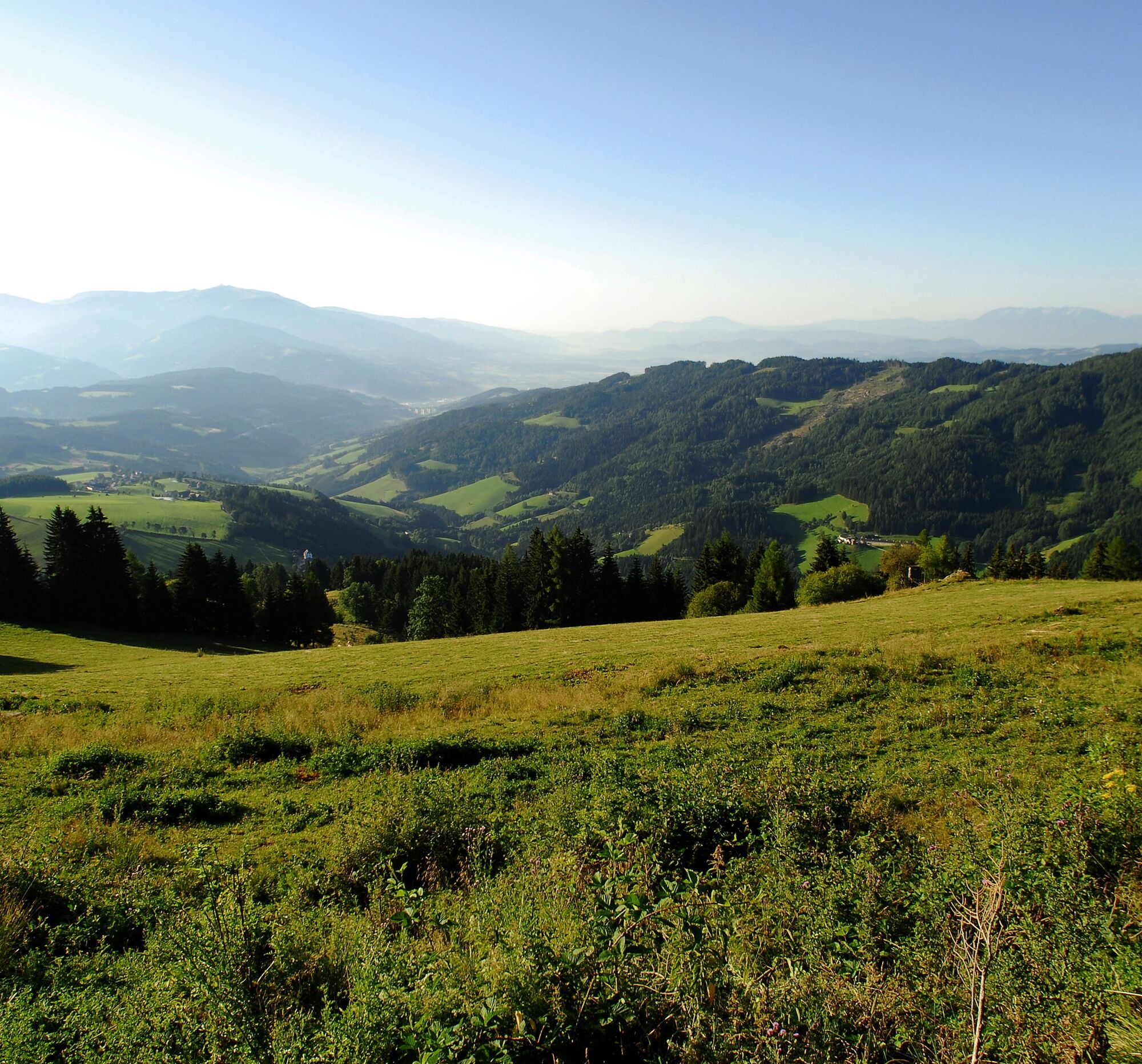
On the back side of Klippitzsee, benches and tables invite you to "linger". Wonderful panoramic views up to the High Tauern, the Karawanks, the Julian and Carnic Alps, and the Lower Tauern.
Kamery internetowe z trasy
Popularne wycieczki w okolicy
- 4,3
Klippitztörl - Geierkogel loop trail no. G
średniWędrówka 6,79 km - 4,8
Zirbitzkogel Waldheimhütte - Wildsee - Fuchskogel - Zirbitzkogel, Steiermark/Österreich
średniWędrówka 15,2 km - 5,0
Weißbergerhütte - Gertrusk - Ladingerspitz
średniWędrówka 8,95 km - 4,6
Skitour Zirbitzkogel
średniWycieczka narciarska 6,01 km From Steinerhütte to Großer Sauofen - permanent IVV hiking trail
światłoWędrówka 4,67 km- 5,0
Rothaidehütte Runde Zirbitzkogel
średniWędrówka 6,17 km - 4,6
Saualpe: Hut route - circular hike
średniWędrówka 15,3 km - 4,4
Saualpen ridge – Speikkogel, Großer and Kleiner Sauofen
średniWędrówka 10,8 km - 4,7
Lavantaler Alpen: Waldheimhütte - Zirbitzkogel
średniWędrówka 5,43 km - 3,9
Klippitztörl: Rundwanderung
średniWędrówka 10,1 km

Wędrówki i tropienie


Nie przegap ofert i inspiracji na następne wakacje
Twój adres e-mail została dodana do listy mailingowej.