


Heidenbrunnen trail
Zdjęcia naszych użytkowników
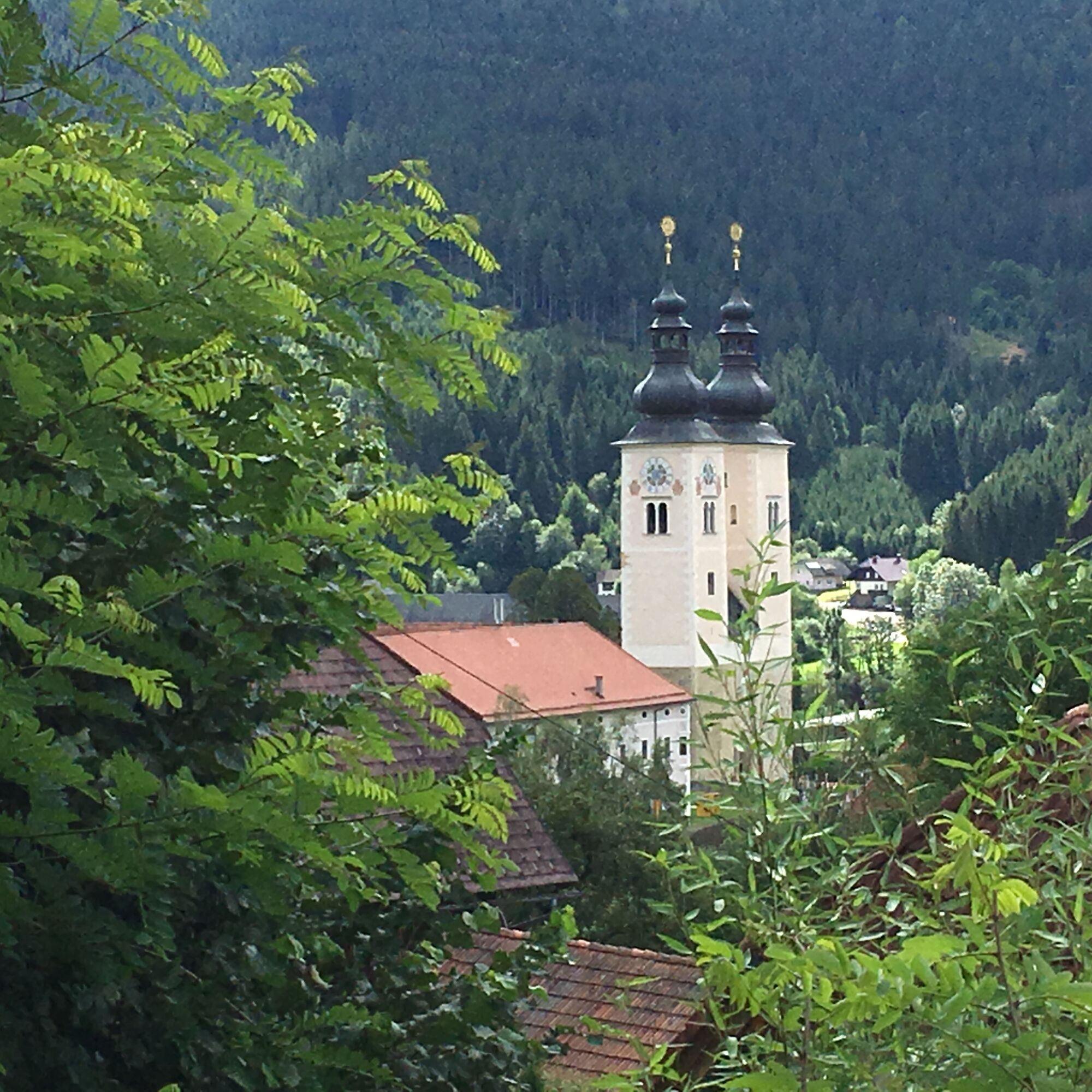
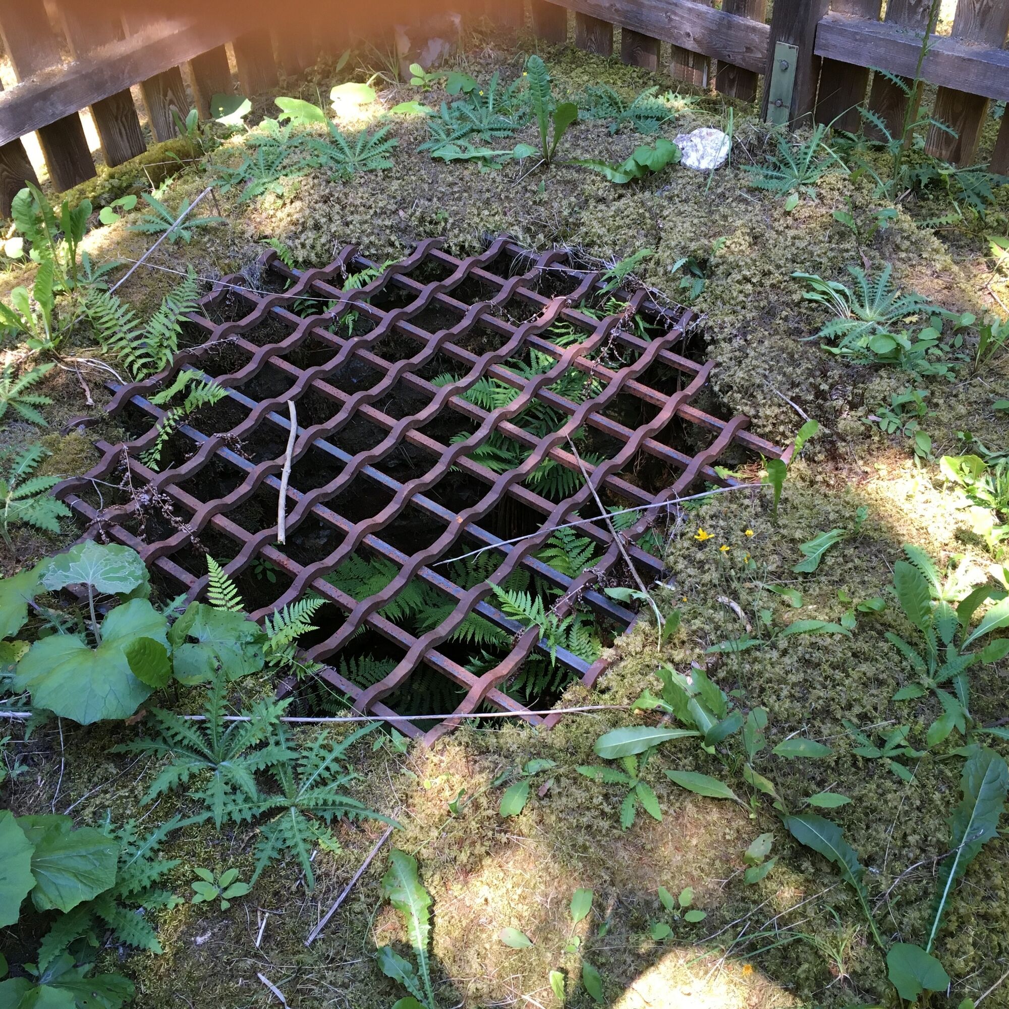
The rewarding circular route leads from Gurk through extensive forests to the Heidenbrunnen, which represents a living monument of medieval jurisprudence in Austria. At the fountain, you will find a cozy...
The rewarding circular route leads from Gurk through extensive forests to the Heidenbrunnen, which represents a living monument of medieval jurisprudence in Austria. At the fountain, you will find a cozy rest area inviting for inner reflection. Along the way, there are numerous encounters with local wild herbs. The ascent is accompanied by herb meadows that form a blooming area full of fragrant and spicy herbs, surrounded by colorful wildflowers and grasses. In the spruce-dominated forest, there is a diverse undergrowth of mosses, ferns, and berries adapted to the shady and acidic soil conditions.

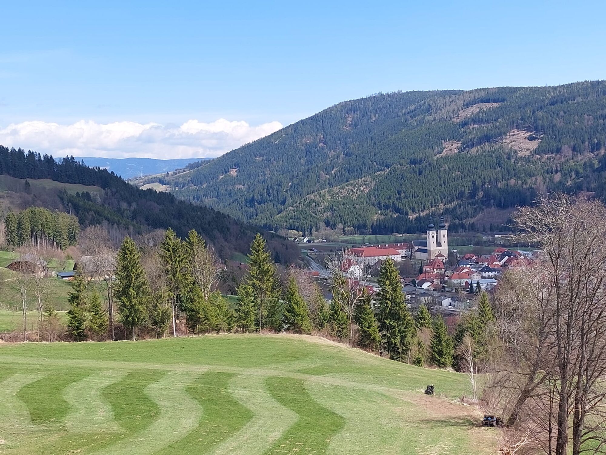

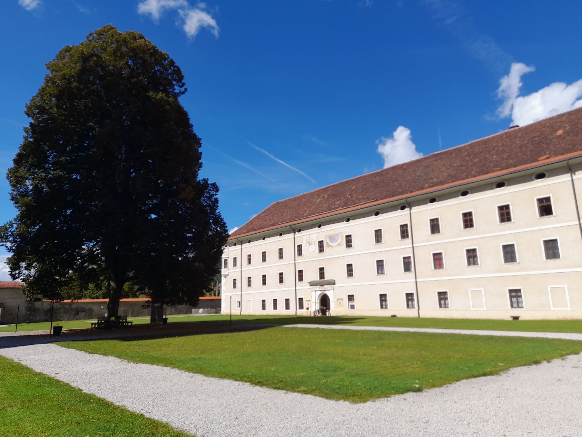
The hike starts at the Domplatz. You head north and cross the Gurktaler Bundesstraße B39. Then you go over Tonebühel, continue to the right along St. Peter-Straße, and then turn left along Ranitzstraße. Passing the Leitgeb farmstead (Ranitz 3), you follow the hiking trail to the Heidenbrunnen. Via a forest path that leads you to Kreuzberg, you continue via Amthofer and Wilhelmshöhe back to Gurk.
Tak
Take suitable hiking equipment and drinking supply with you
Inform someone where you are going and when you will be back
On B93 Gurktalstraße to Gurk
Bus connection Kaerntner-Linien Treibach-Althofen to Deutsch-Griffen (bus line 5377)
Free parking spaces in front of the Gurk Cathedral
can be found here:
https://regio.outdooractive.com/oar-mittelkaernten/de/touren/#area=1042218&filter=r-fullyTranslatedLangus-,r-openState-,sb-sortedBy-0&wt=Gurk%20(Sankt%20Veit%20an%20der%20Glan,%20K%C3%A4rnten,%20%C3%96sterreich)%0A1042218&zc=12,14.31038,46.85702
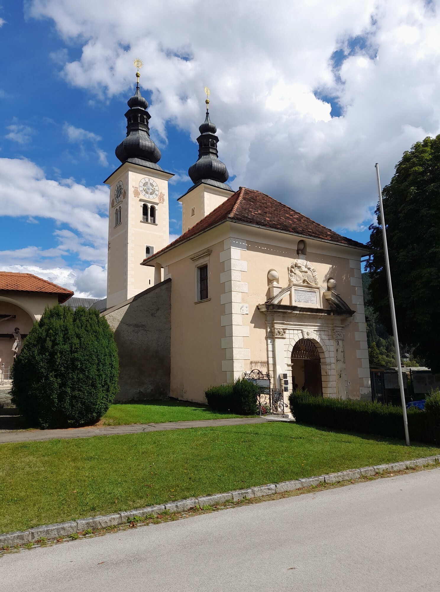
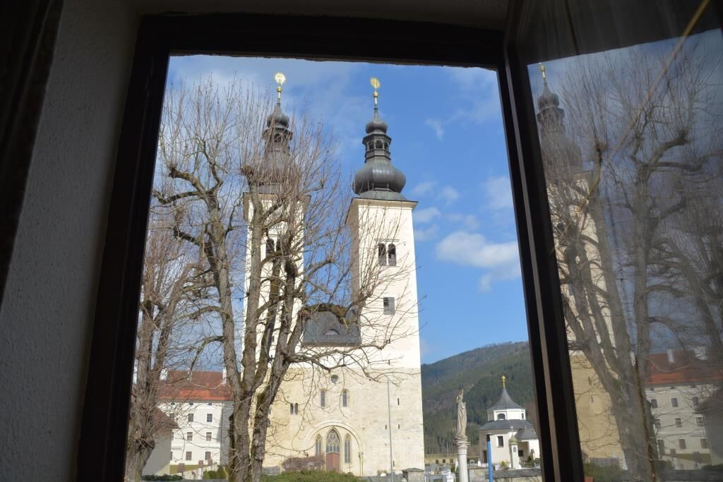
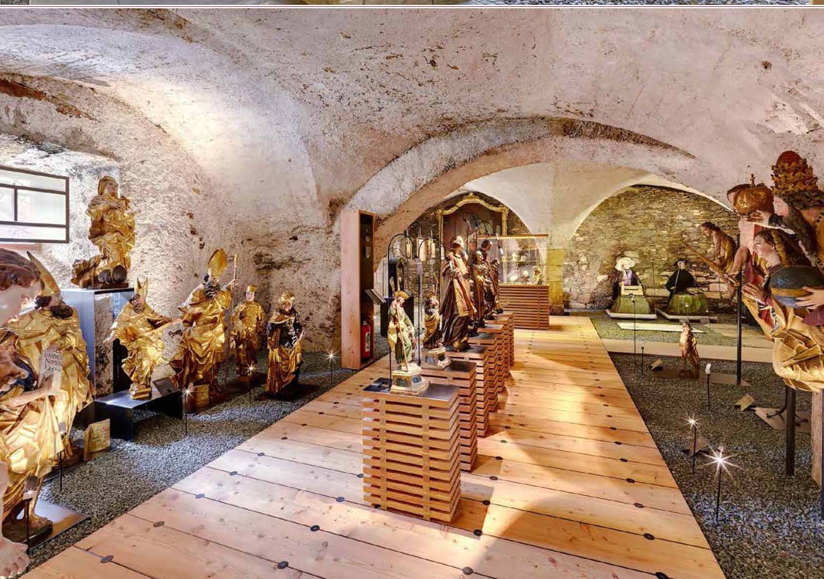
A visit to the Gurk Cathedral with the famous crypt and the treasury is recommended!
Popularne wycieczki w okolicy
-
4,7
Abenteuer-Wasser-Weg
średniWędrówka 9,13 km -
3,6
Kunstwanderweg rund um den Längsee (1)
światłoWędrówka 5,43 km -
3,8
Schloss Frauenstein - Kraiger lake circular route
światłoWędrówka 6,96 km -
4,5
Burgenwanderweg Friesach
światłoWędrówka 5,21 km -
4,7
Through the Wolschart Forest (8)
światłoWędrówka 9,98 km -
3,0
Paulsberg trail
światłoWędrówka zimą 5,02 km -
3,7
Schaumboden-Dreifaltigkeit circular route
średniWędrówka 13,4 km -
4,7
Pulst - Tatschnigteich circular route
światłoWędrówka 8,93 km -
3,0
Steuerberg [5] Goggausee - Bösenstein waterfall
średniWędrówka 9,85 km -
4,7
Paulsbergweg St. Urban
światłoWędrówka 5,02 km
Wędrówki i tropienie


Nie przegap ofert i inspiracji na następne wakacje
Twój adres e-mail została dodana do listy mailingowej.