


Steuerberg [5] Goggausee - Bösenstein waterfall
The hike from Steuerberg via the Goggausee lake to the Bösensteiner waterfall in Central Carinthia offers a multifaceted nature experience. The starting point is the idyllic Lake Goggausee, known for its...
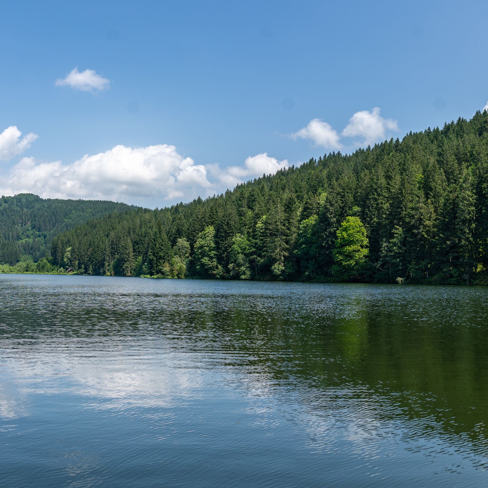
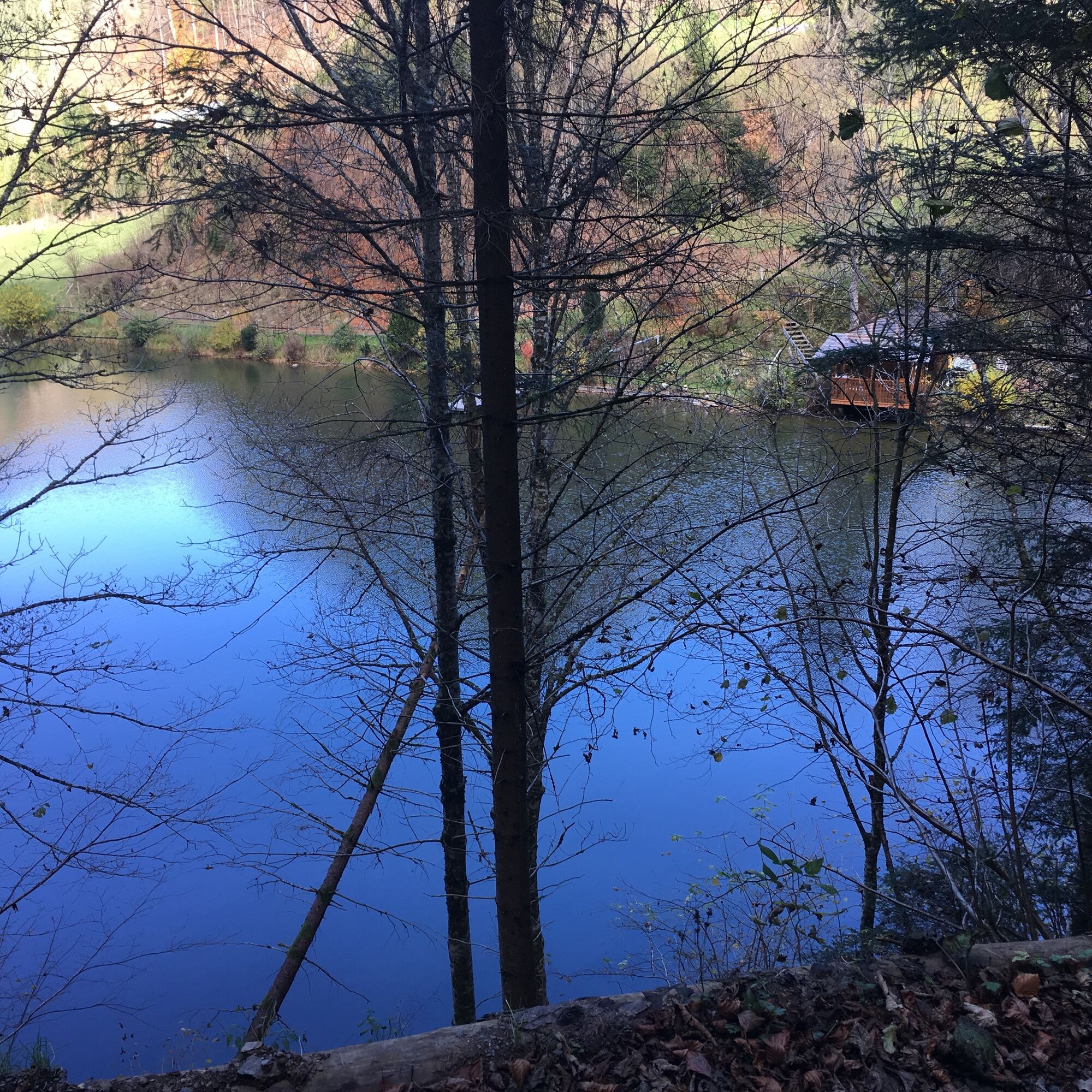
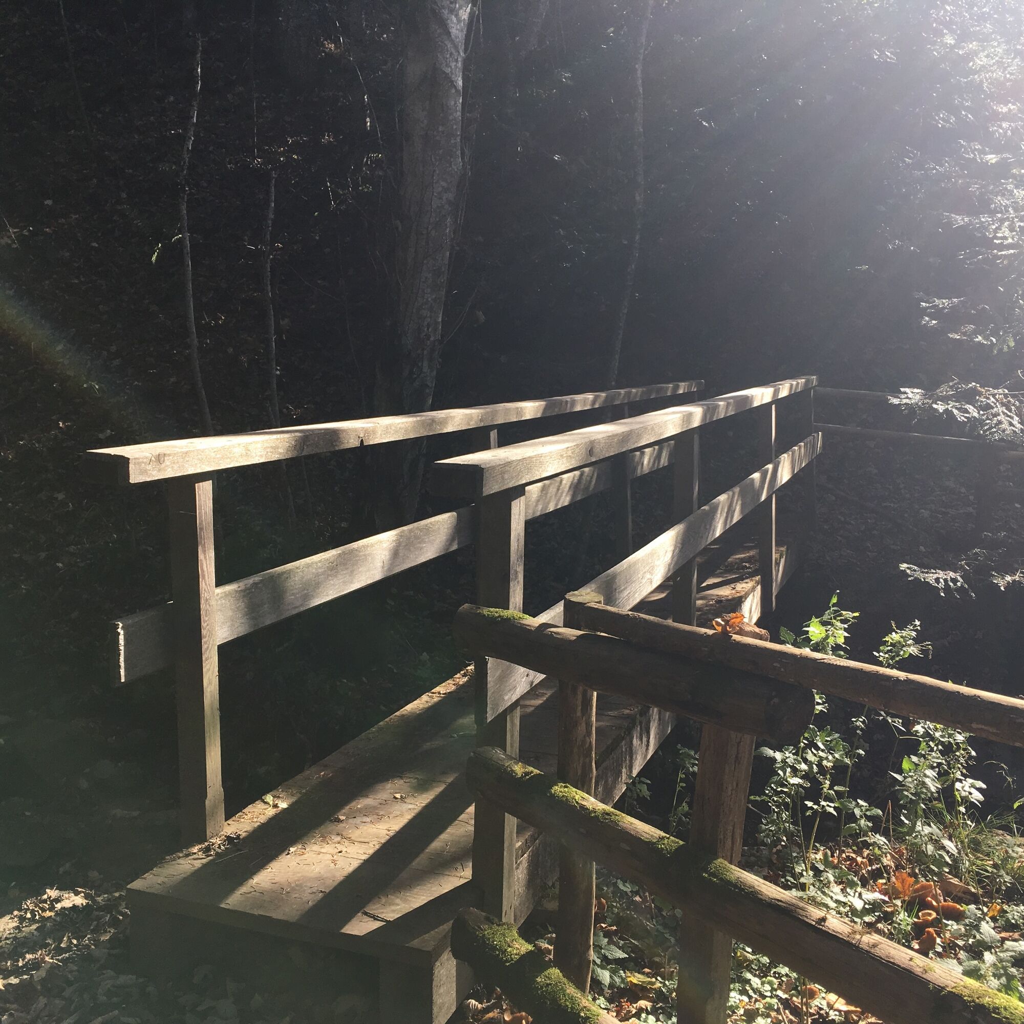
The hike from Steuerberg via the Goggausee lake to the Bösensteiner waterfall in Central Carinthia offers a multifaceted nature experience. The starting point is the idyllic Lake Goggausee, known for its clear water and surrounded by a picturesque mountain backdrop. From here, the hiking trail leads through dense forests and along idyllic paths that lead to the Bösenstein waterfall.
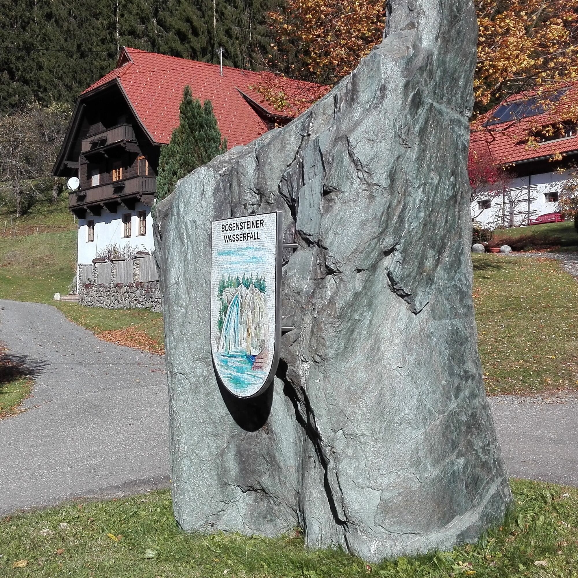
Time and again, the trail offers impressive views of the surrounding landscape and the opportunity to enjoy the tranquillity of nature. The Bösenstein waterfall itself is a spectacular natural monument that impresses with its raging water and surrounding vegetation. Hikers have the opportunity to take a break here and experience the refreshing atmosphere.
This hike is suitable for both families and experienced hikers and offers an ideal combination of nature enjoyment and active relaxation.

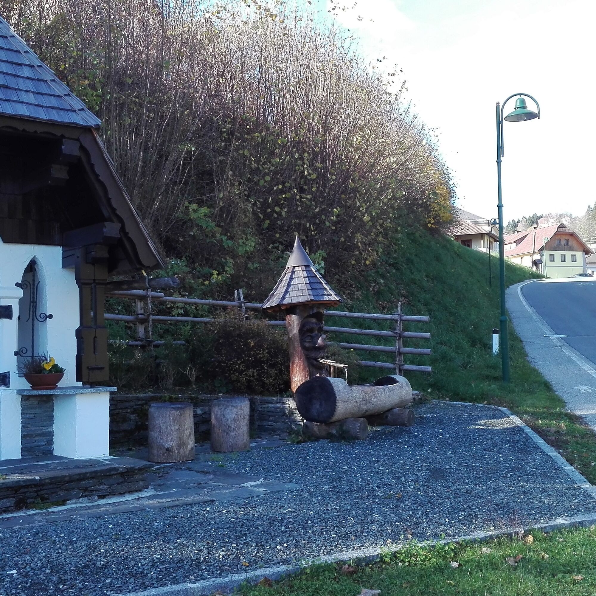
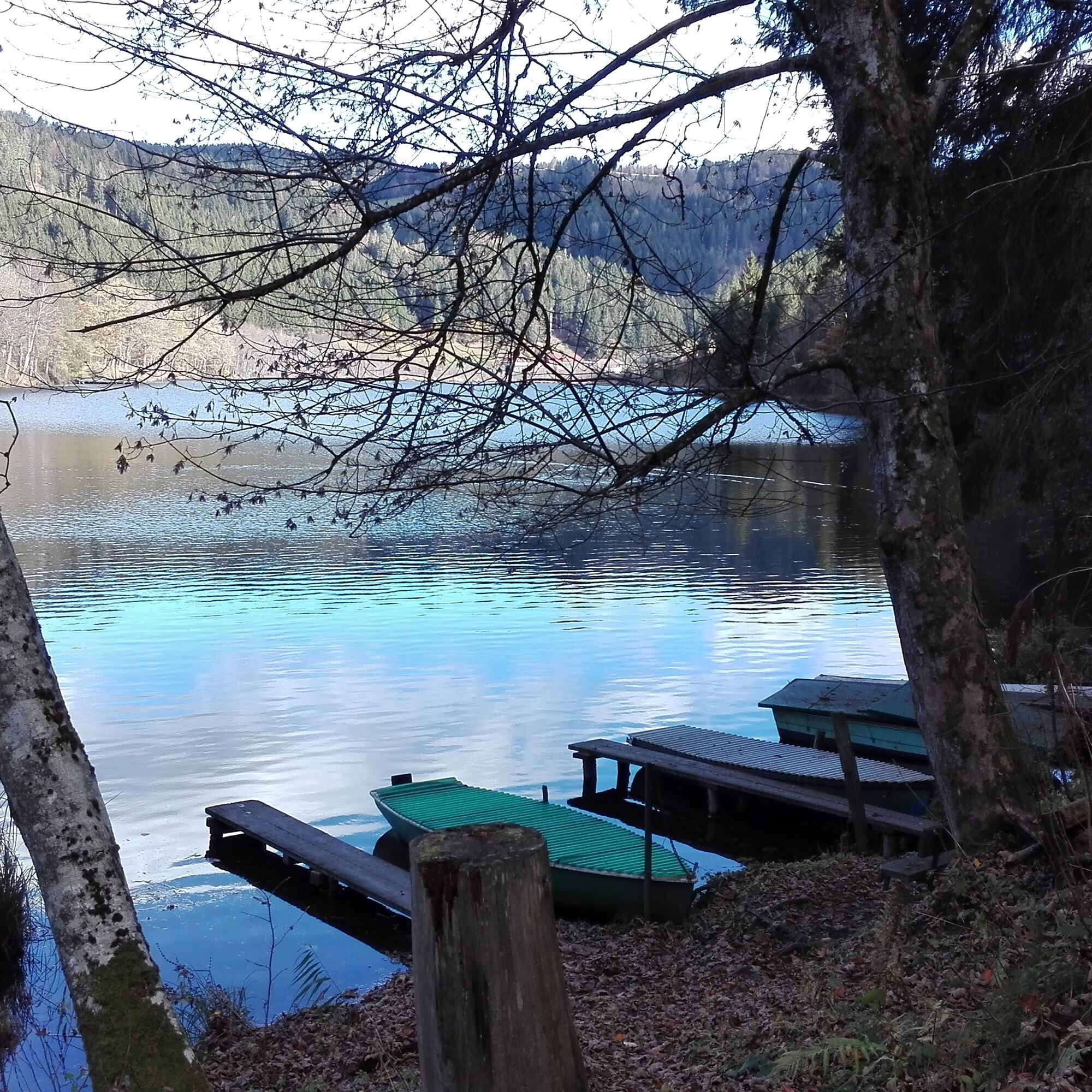
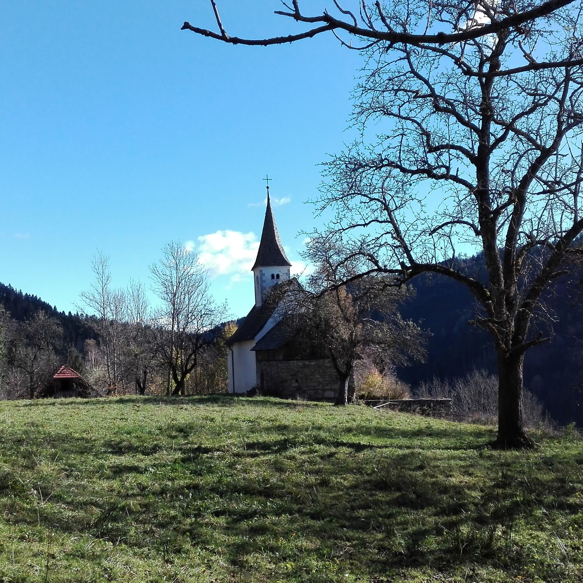
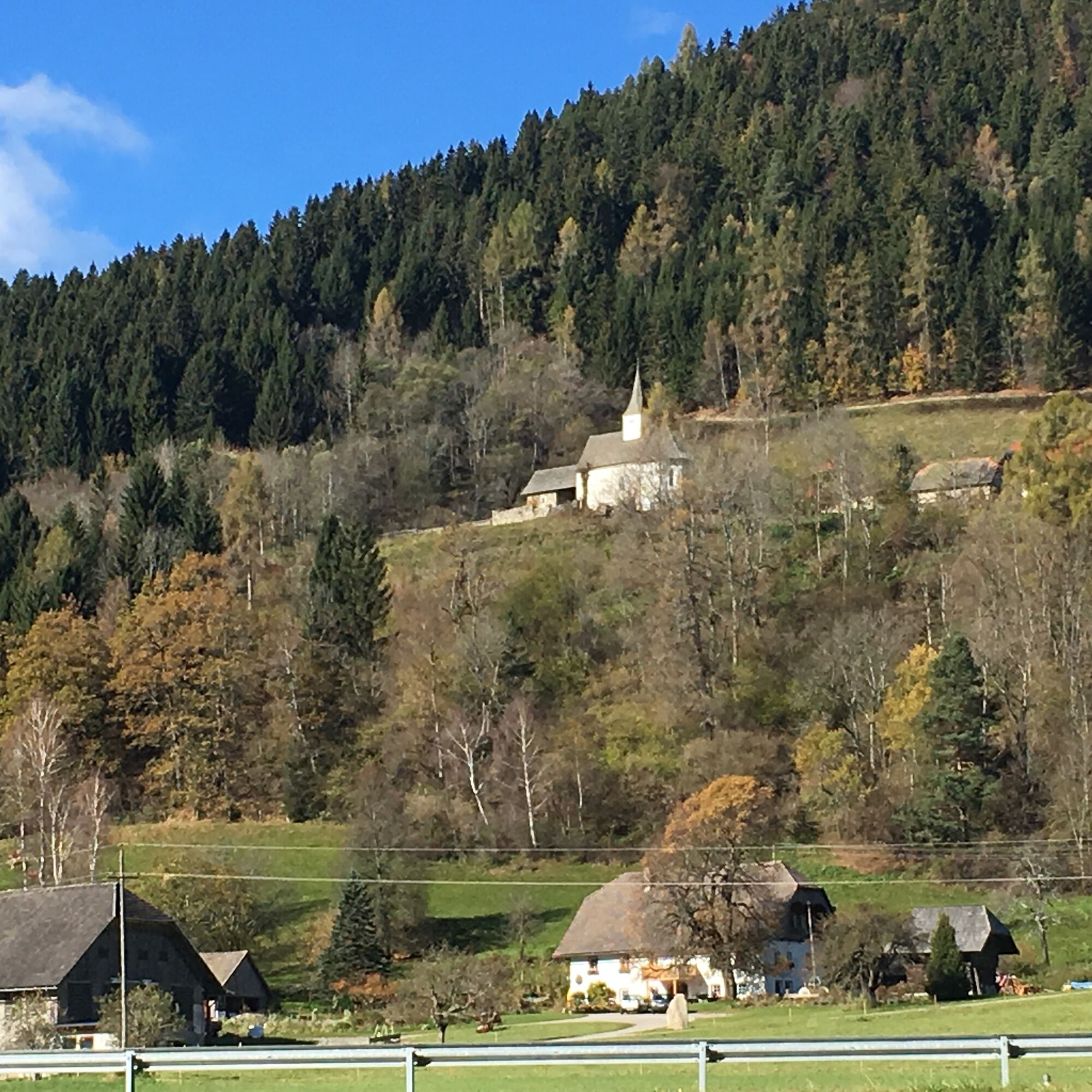
From the parking lot at the municipal office, walk east past Gasthaus Steiner along the Steuerberger-Landesstraße down to the bridge. Immediately after the bridge, turn left and follow the path up to the bend. There, just after the gate, you pass the Trientschnig pond on the left and take the ascending path along the forest path to the church of St. Johann (visit the church and take a break). The trail continues through the farmstead vlg. Hanser farm for a short distance up to the junction to the left (east) and along a forest path to the forest road. Then continue to the right and reach the junction to the Bösenstein waterfall. The path continues to Niederwinklern to the Hoisbauer inn - Prodinger family. Immediately at the inn, turn left again. You pass the Kampl pond and walk along the beautiful forest path south of the Goggausee lake to Goggau. From there, continue along the Goggausee country road to the municipal lido at Lake Goggausee (bathing facilities, beautiful sunbathing lawn). The road continues to Niederwinklern, past Gasthaus Hoisbauer - Fam. Prodinger and after approx. 500 m turn left (south) at Haus Scheiber, walk along the path for a while and then turn right up to Rennweg. At the junction with the Goggausee country road, turn right and follow it to the waterfall and the Steuerberg junction. There you walk to the left of the Steuerberg country road to the Felfern junction. You pass the sports facility and continue along the path. Turn right to the Gaber bridge, follow the Kirchsteig and return to Steuerberg.
Tak
Sturdy shoes and clothing suitable for the weather.
Tell someone where you are going and when you want to be back. Keep an eye on the weather. Charge your cell phone.
Coming from Klagenfurt on the B83 and later B95 towards Feldkirchen; in Feldkirchen continue on the B94 and B93 to Haiden; after Haider continue on Wimitzer Straße to Rennweg and then Steuerberg
ÖBB timetable information:
https://fahrplan.oebb.at/webapp/#!P|TP!H|809889
Parking spaces are available at the municipal office.
You can find more routes here:
https://regio.outdooractive.com/oar-mittelkaernten/de/
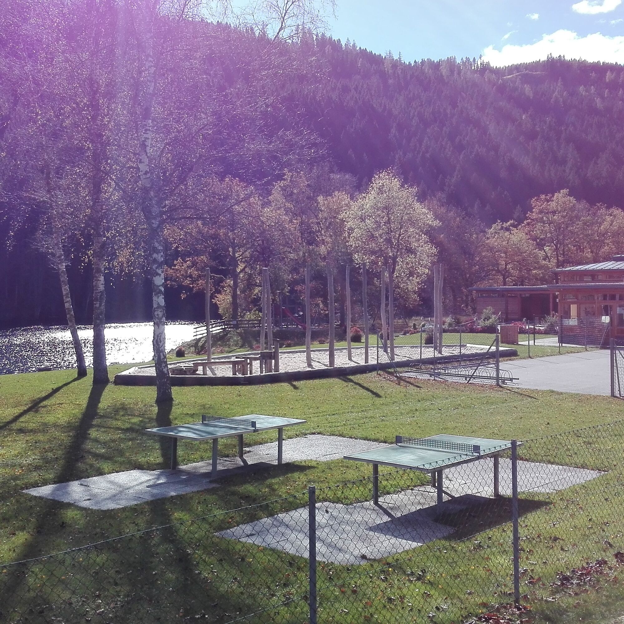
Swimming in the lido with beautiful sunbathing lawn at Lake Goggausee!
Popularne wycieczki w okolicy
- 4,7
Abenteuer-Wasser-Weg
średniWędrówka 9,13 km - 4,7
Vierbergelauf
średniTrasa pielgrzymki 47,6 km - 4,2
Slow Trail Bleistätter Moor (Variant A)
światłoWędrówka 7,22 km - 4,6
Hoher Gallin route
średniWędrówka 7,09 km - 4,0
Hochrindl - Almhütten-Wanderung (AGW Almgenussweg ) um den Kegel
światłoWędrówka 9,31 km - 4,9
Slow Trail Maltschacher See - large loop
światłoTrasa tematyczna 7,04 km - 3,8
Natural spectacle Tiebel springs - Himmelberg
Wędrówka 9,84 km - 4,5
Wanderung Hoher Gallin lt. Feldkirchner Stadtplan Weg Nr. 4
średniWędrówka 10,9 km - 3,0
Paulsberg trail
światłoWędrówka zimą 5,02 km - 4,5
Vier Gipfel, ein Wanderhimmel - Himmelberg
Wędrówka 22,9 km
Wędrówki i tropienie


Nie przegap ofert i inspiracji na następne wakacje
Twój adres e-mail została dodana do listy mailingowej.