







Paulsberg trail
Poziom trudności: 2
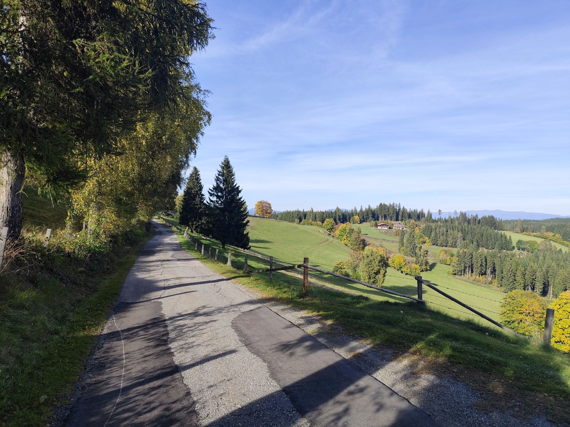
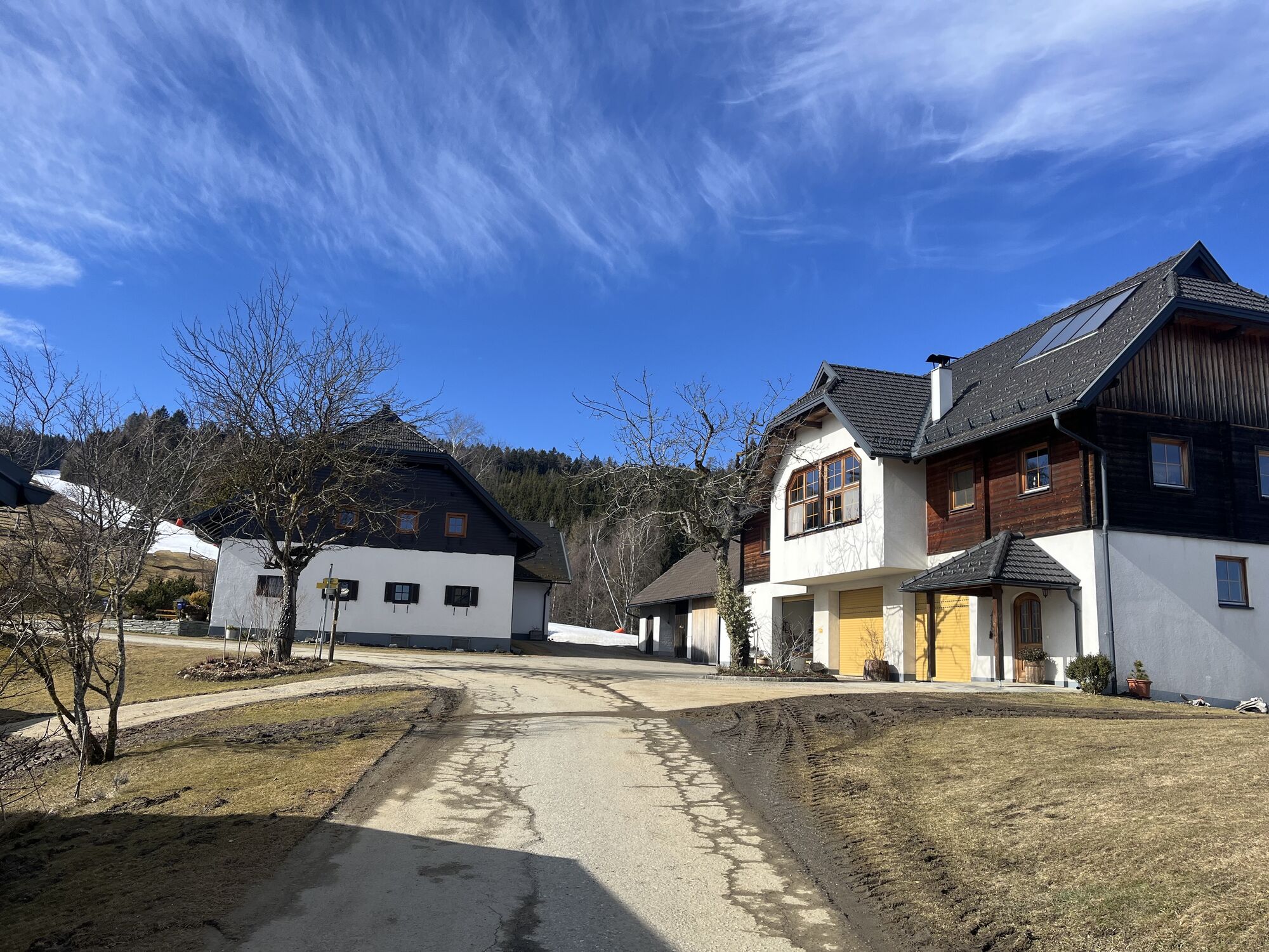
Starting from the car park on the Simonhöhe, the winter hiking trail leads around the Paulsberg to the chapel Hoch St. Paul and back over the St. Pauler Straße to the starting point. The Paulsberg trail...
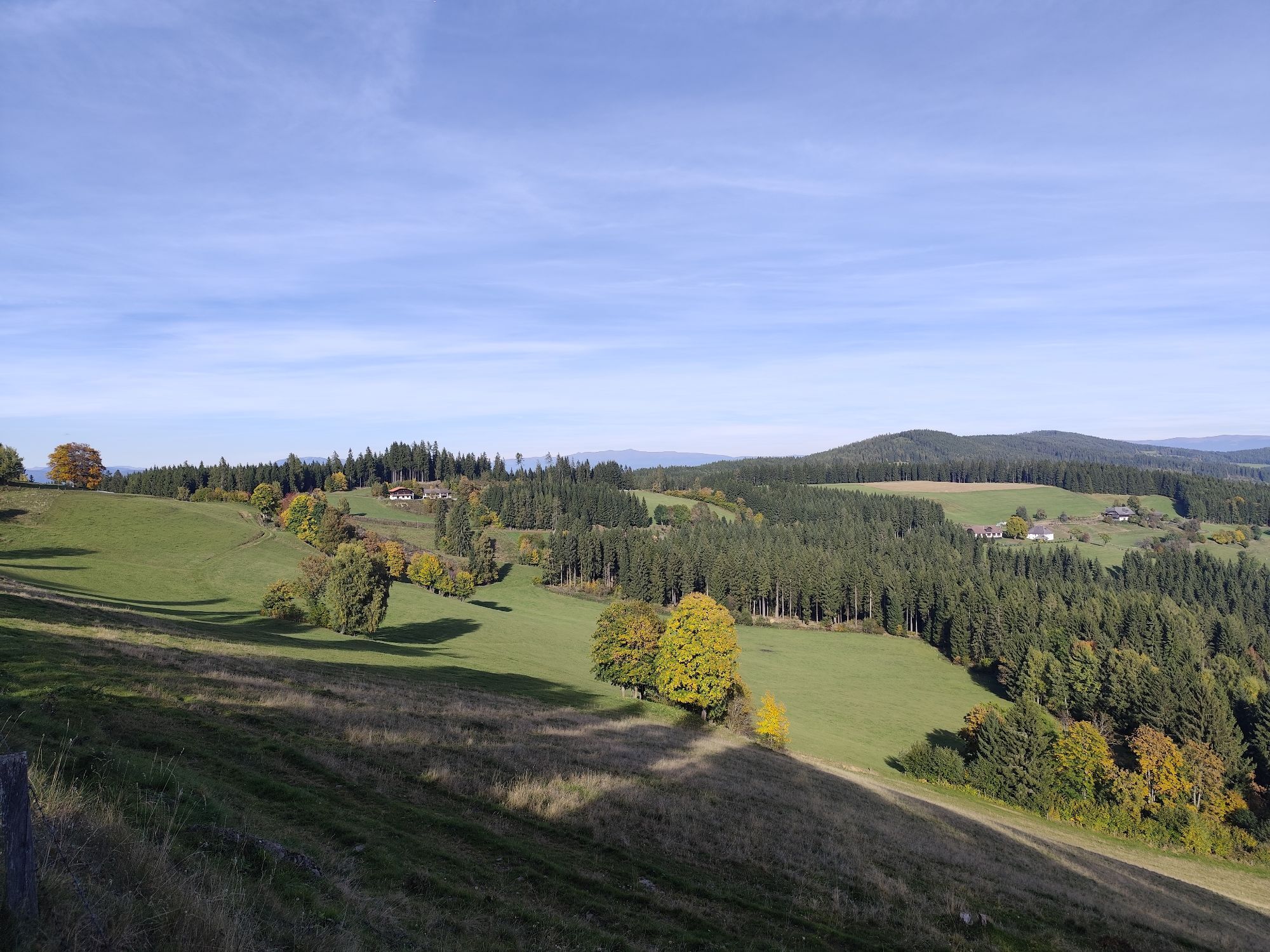
Starting from the car park on the Simonhöhe, the winter hiking trail leads around the Paulsberg to the chapel Hoch St. Paul and back over the St. Pauler Straße to the starting point. The Paulsberg trail on the Simonhöhe is a scenic hike that combines nature enjoyment and beautiful views. The Paulsberg trail on the Simonhöhe offers a pleasant hike for families and nature lovers who want to discover the beauty of the Carinthian mountains. Diverse landscapes from forests to alpine meadows to panoramic views. The Paulsberg offers a fantastic view of the surrounding mountains. Easy to walk path, also well suited for children. The return path follows the same route back to the starting point on the Simonhöhe. The descent is pleasant and offers beautiful views and opportunities to enjoy nature again.

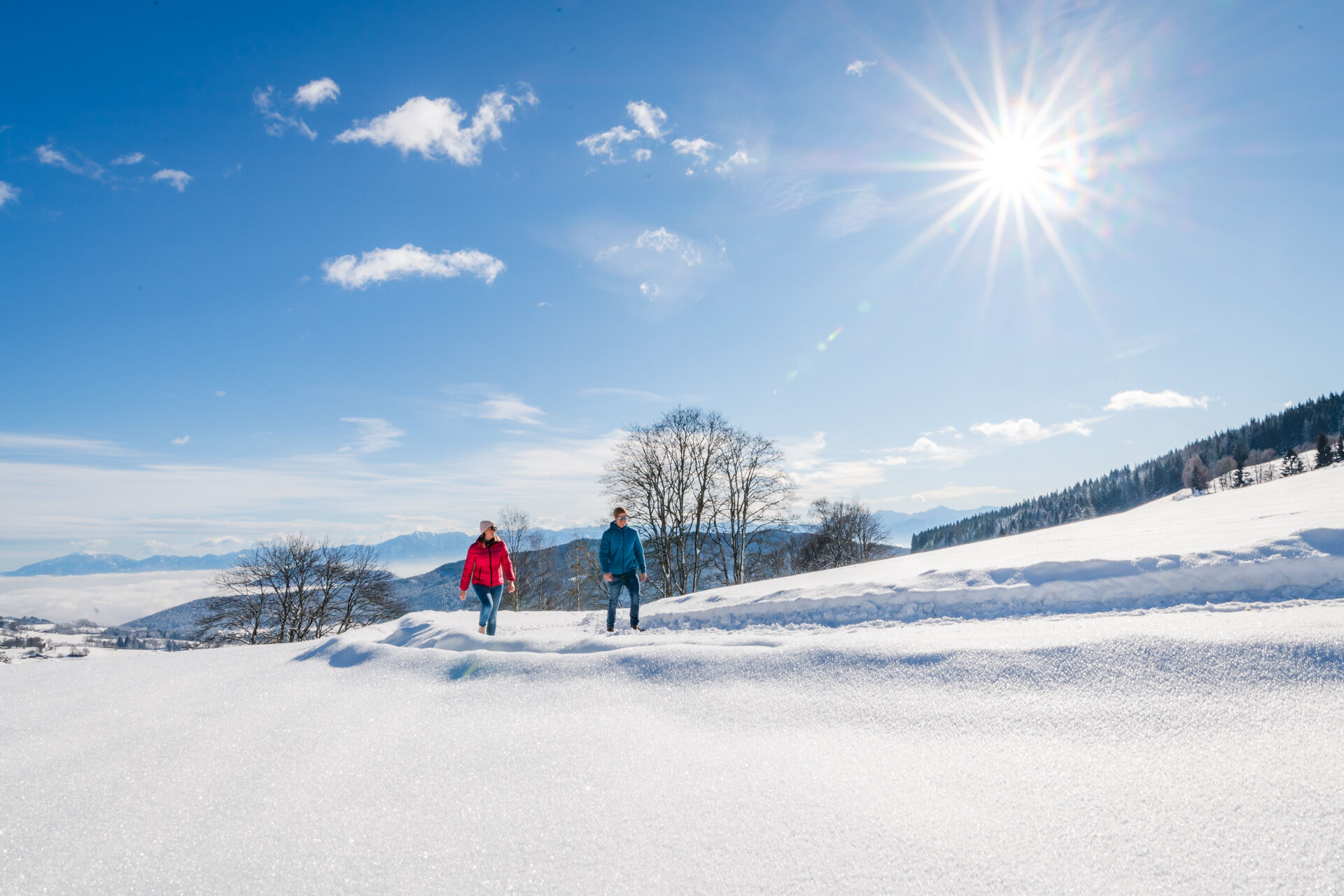
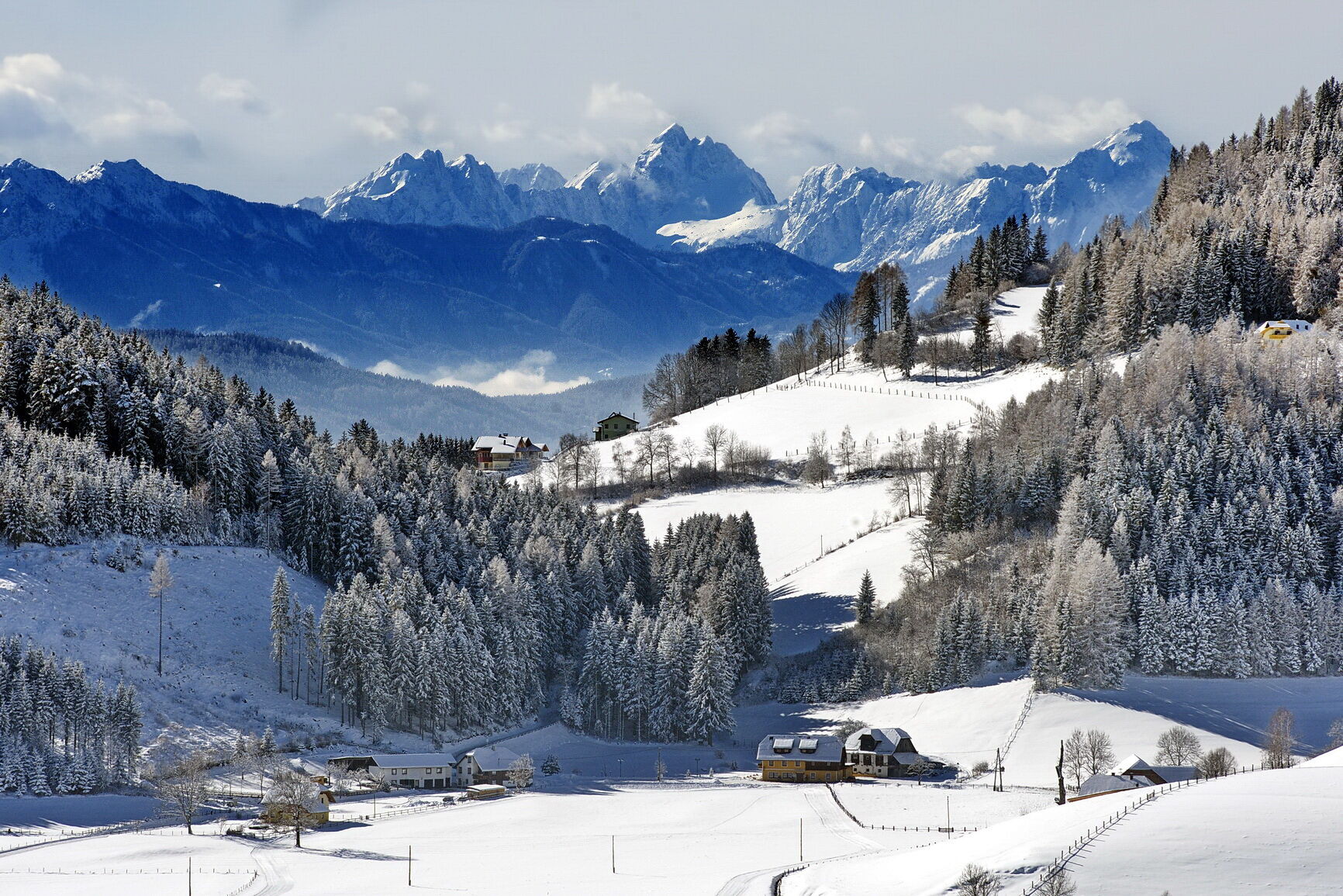
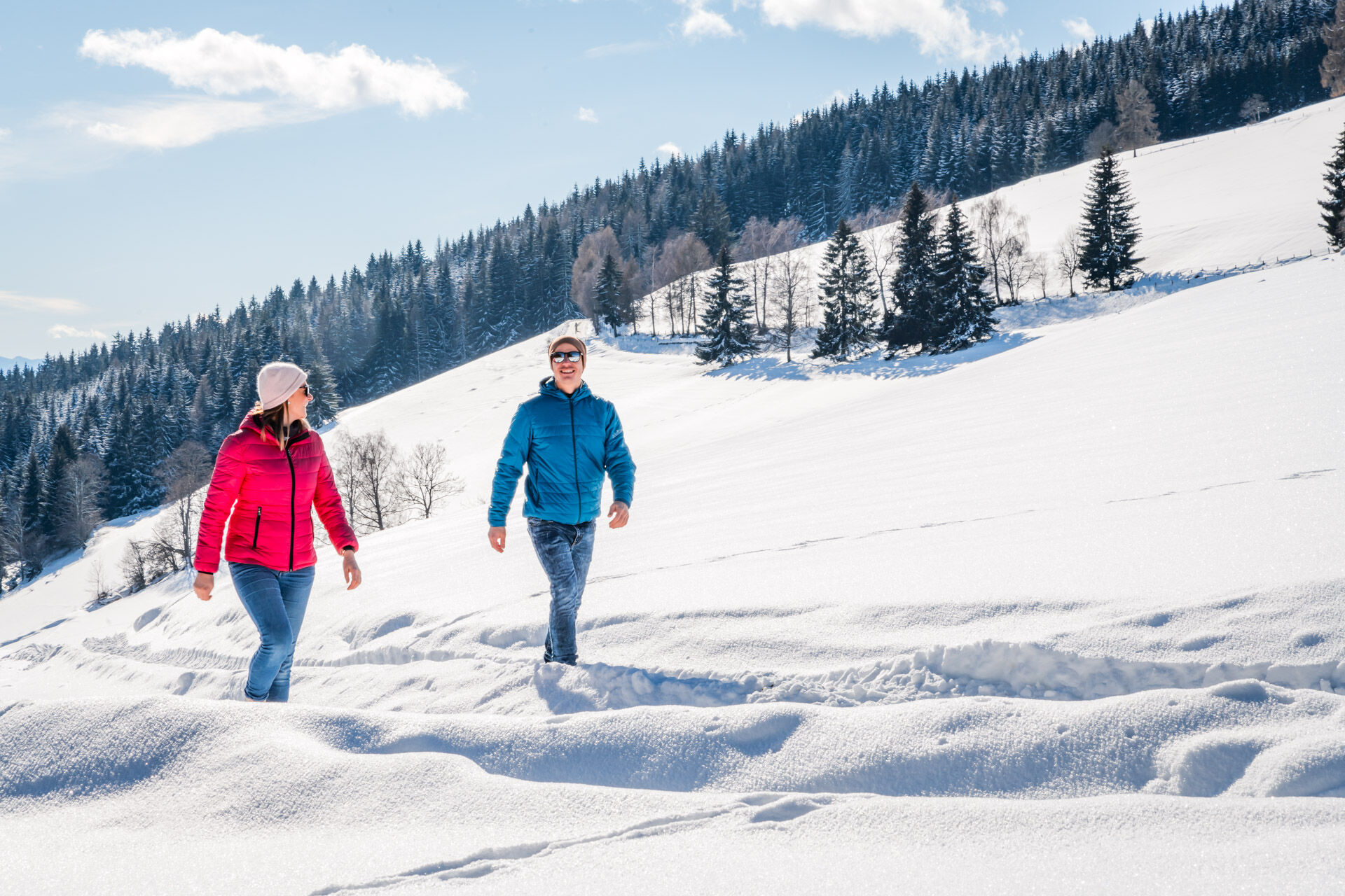
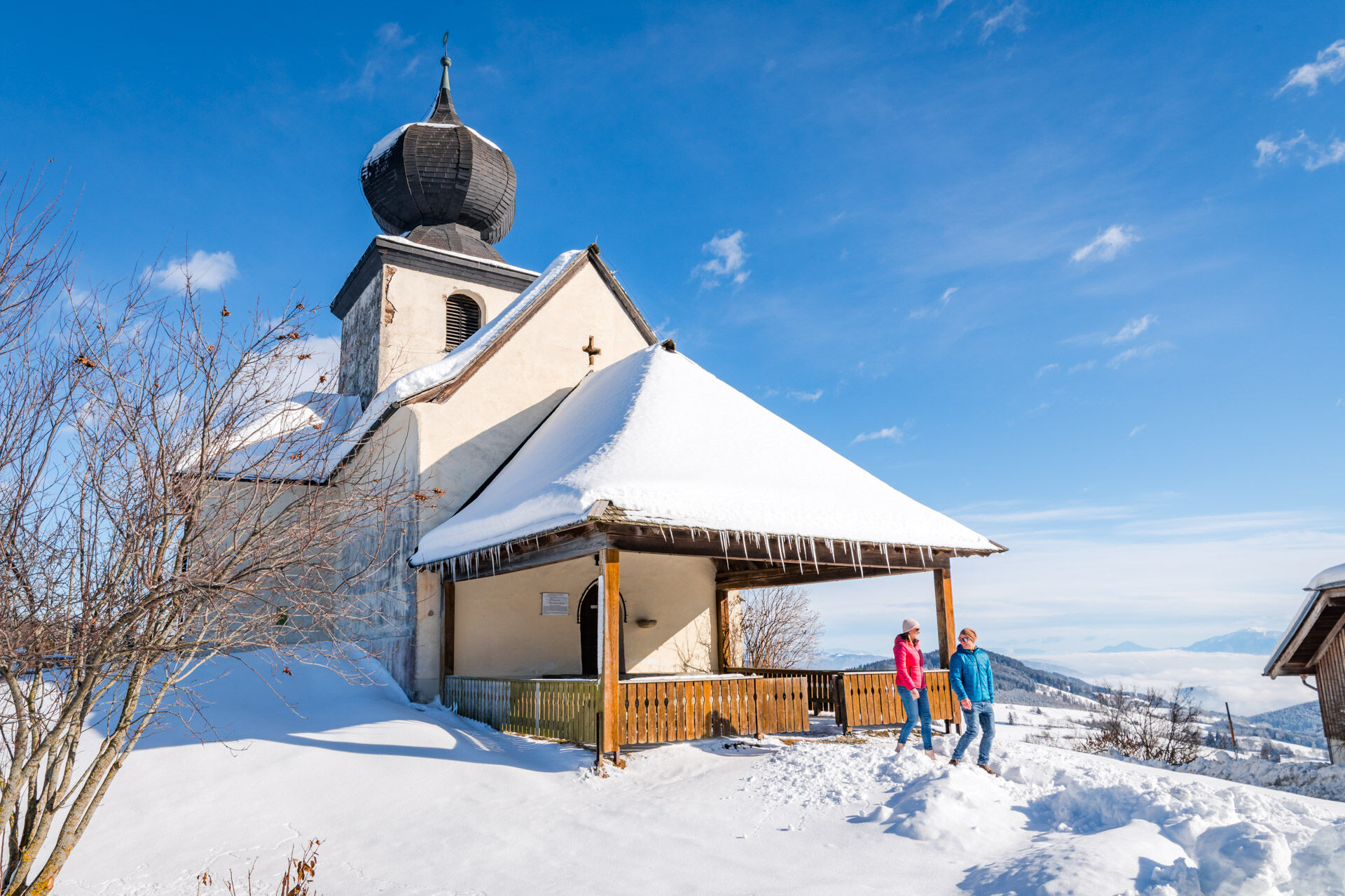
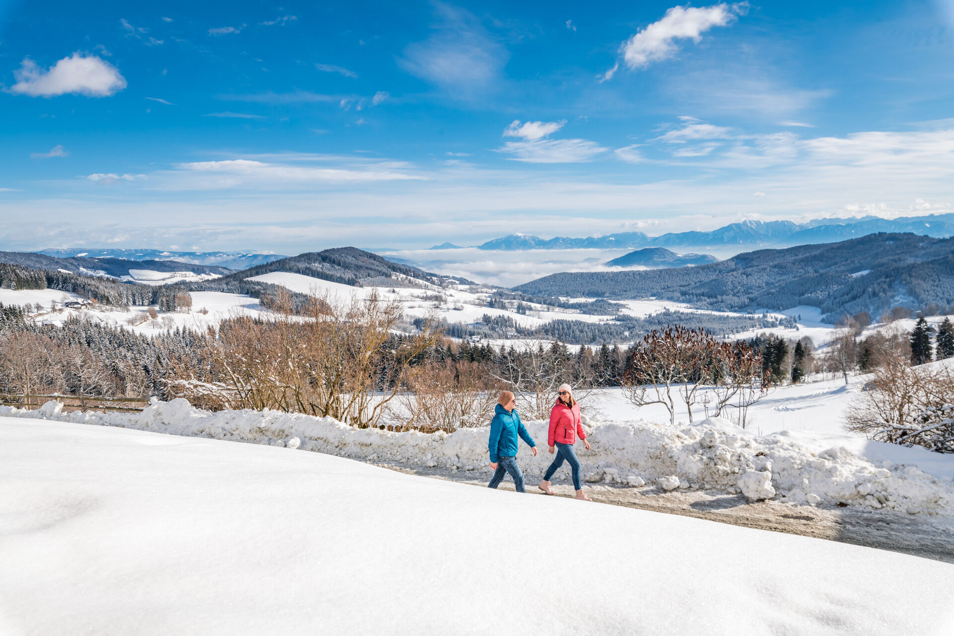
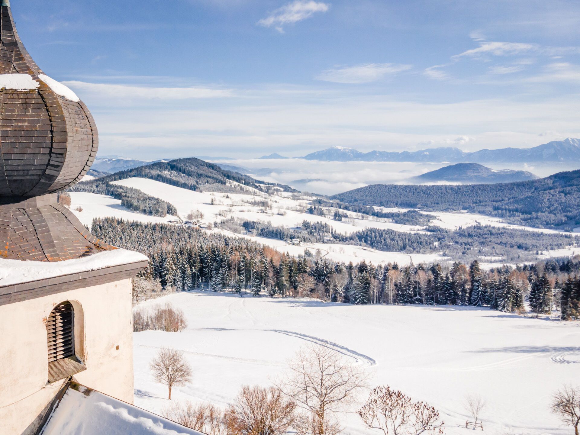
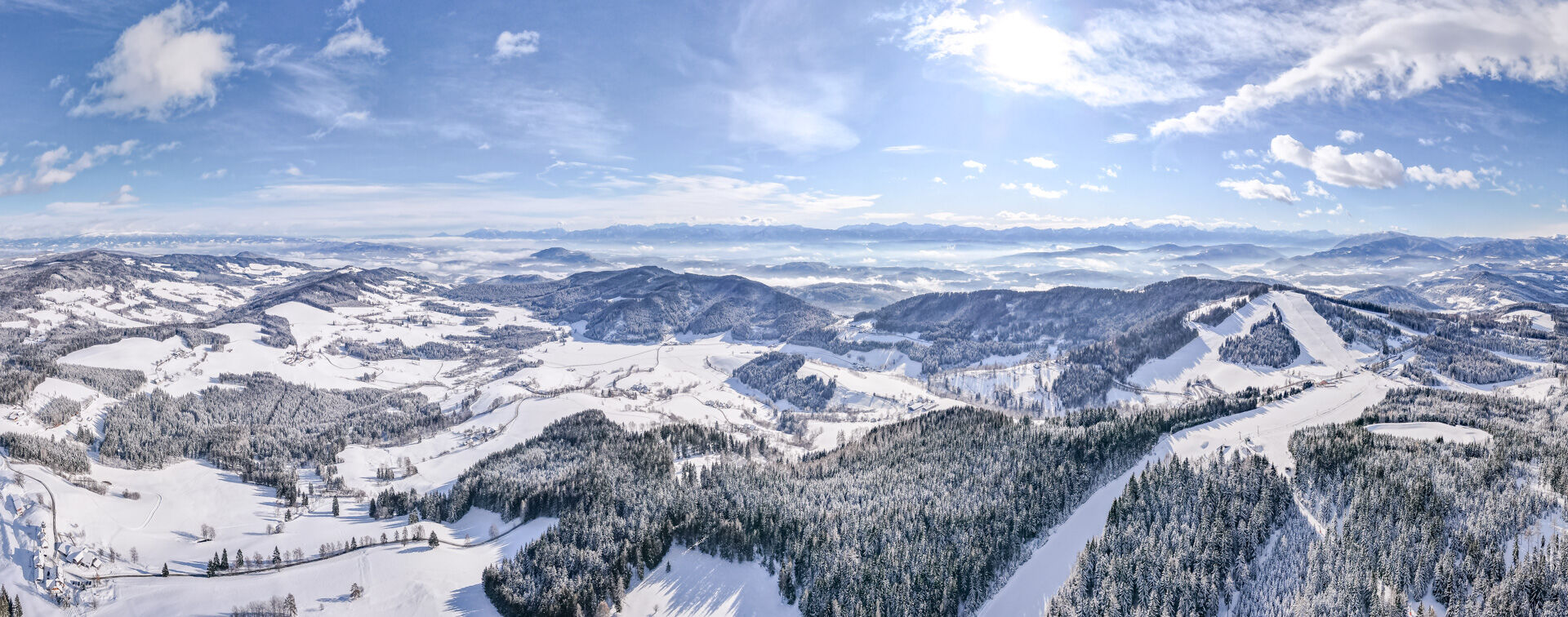
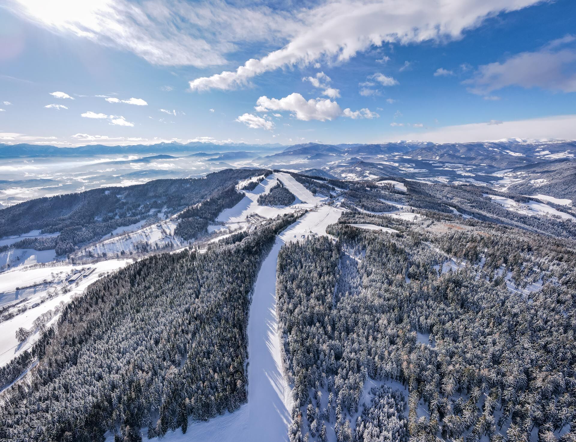
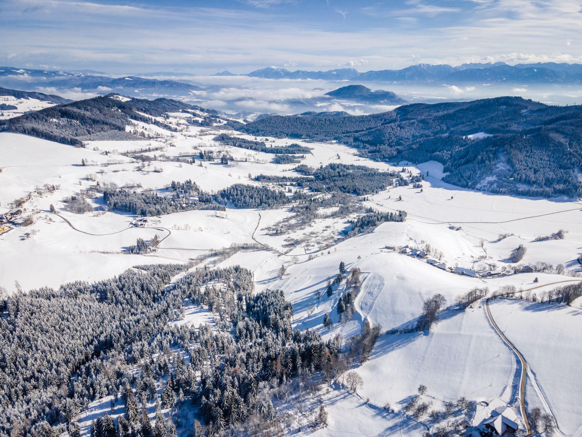
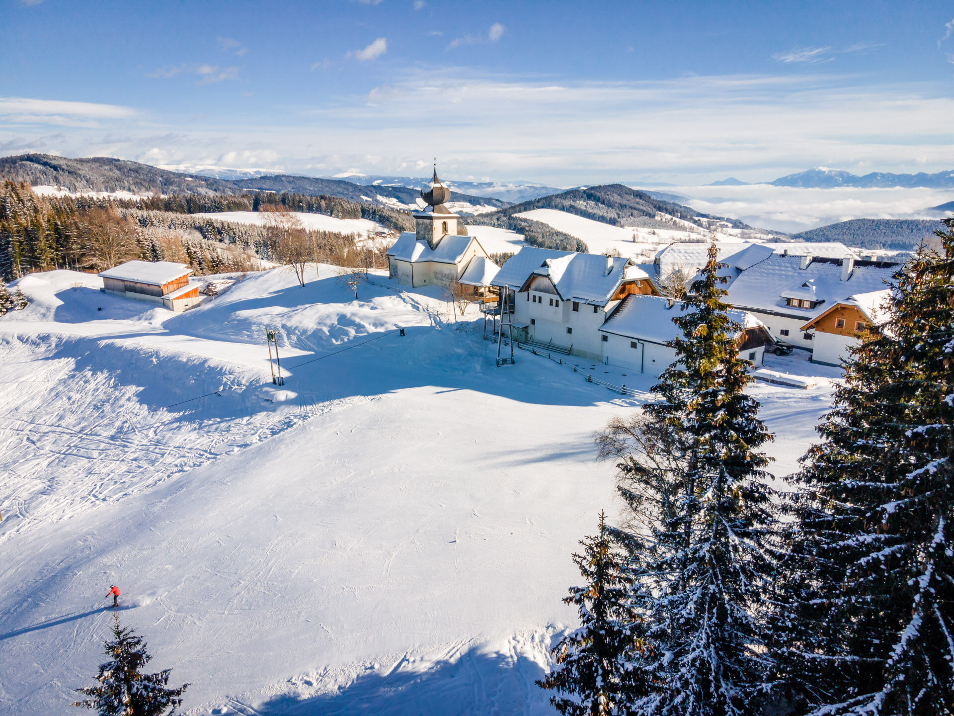
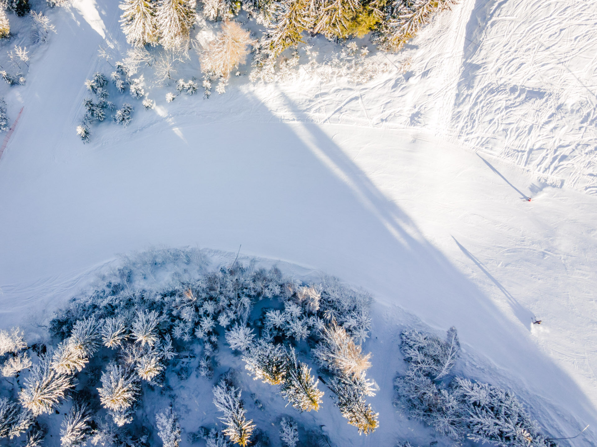
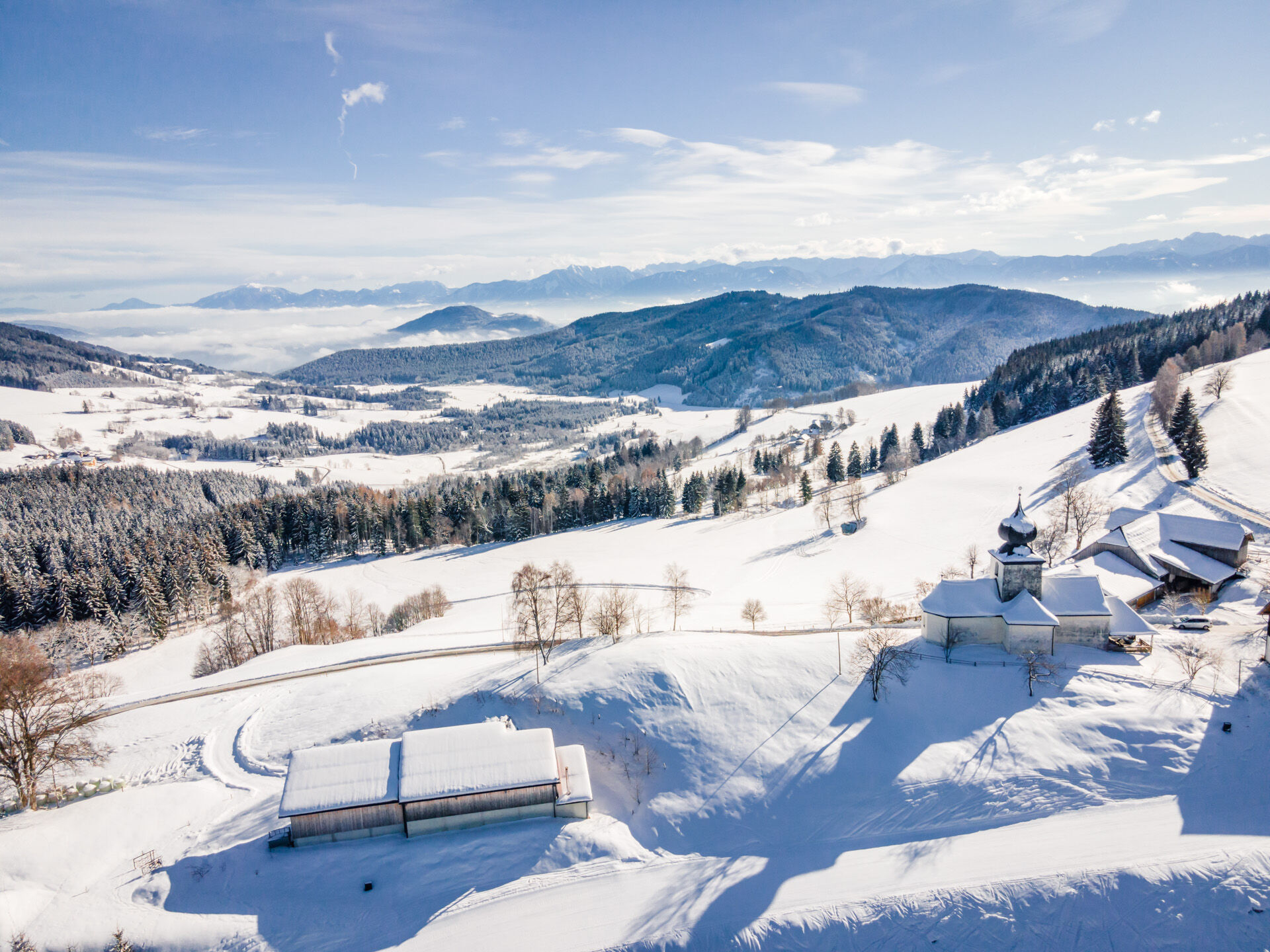
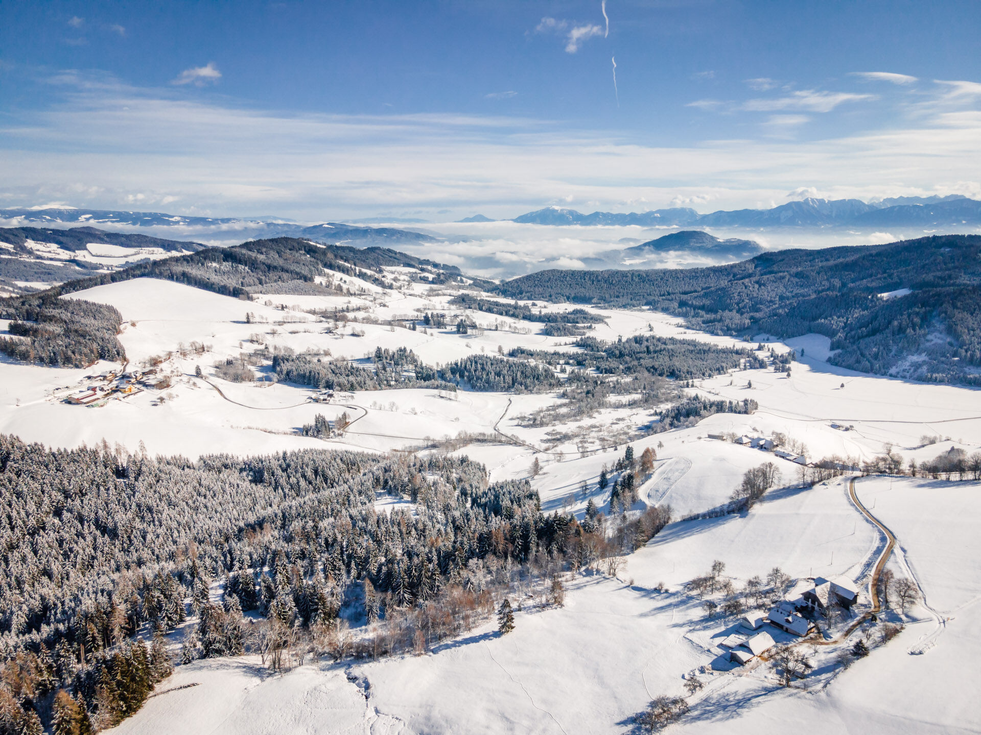
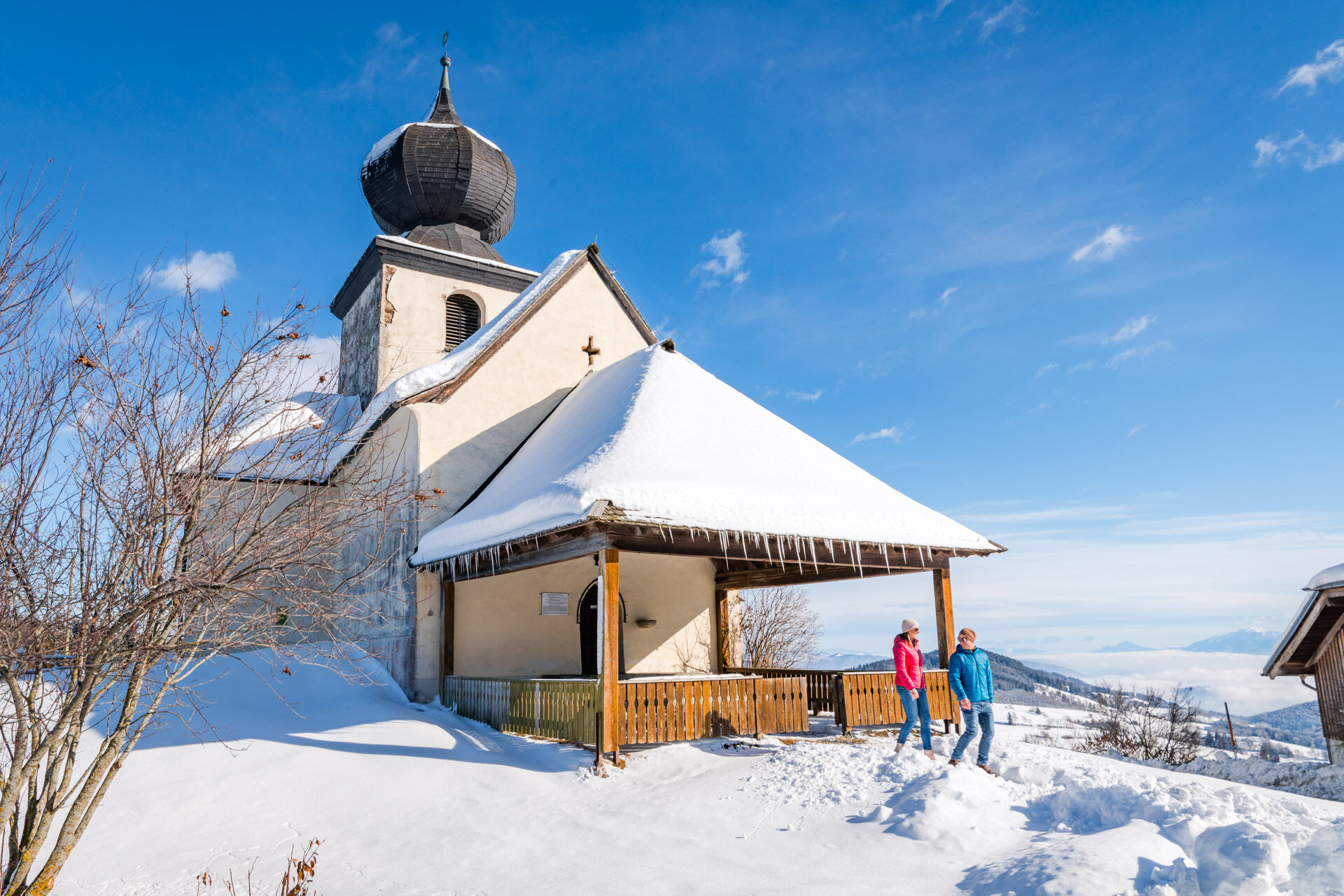

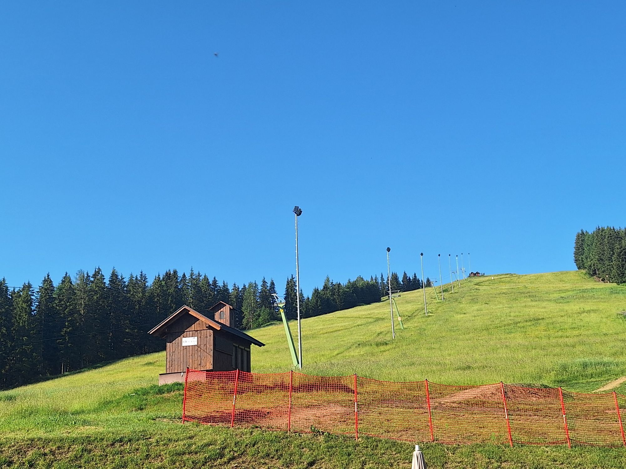
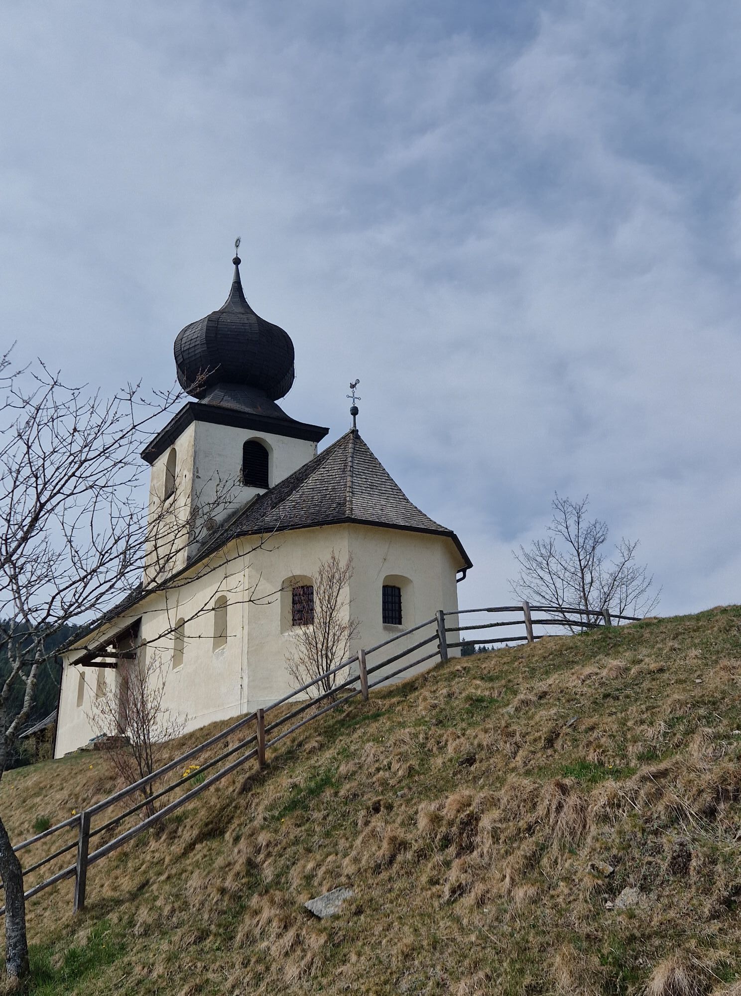
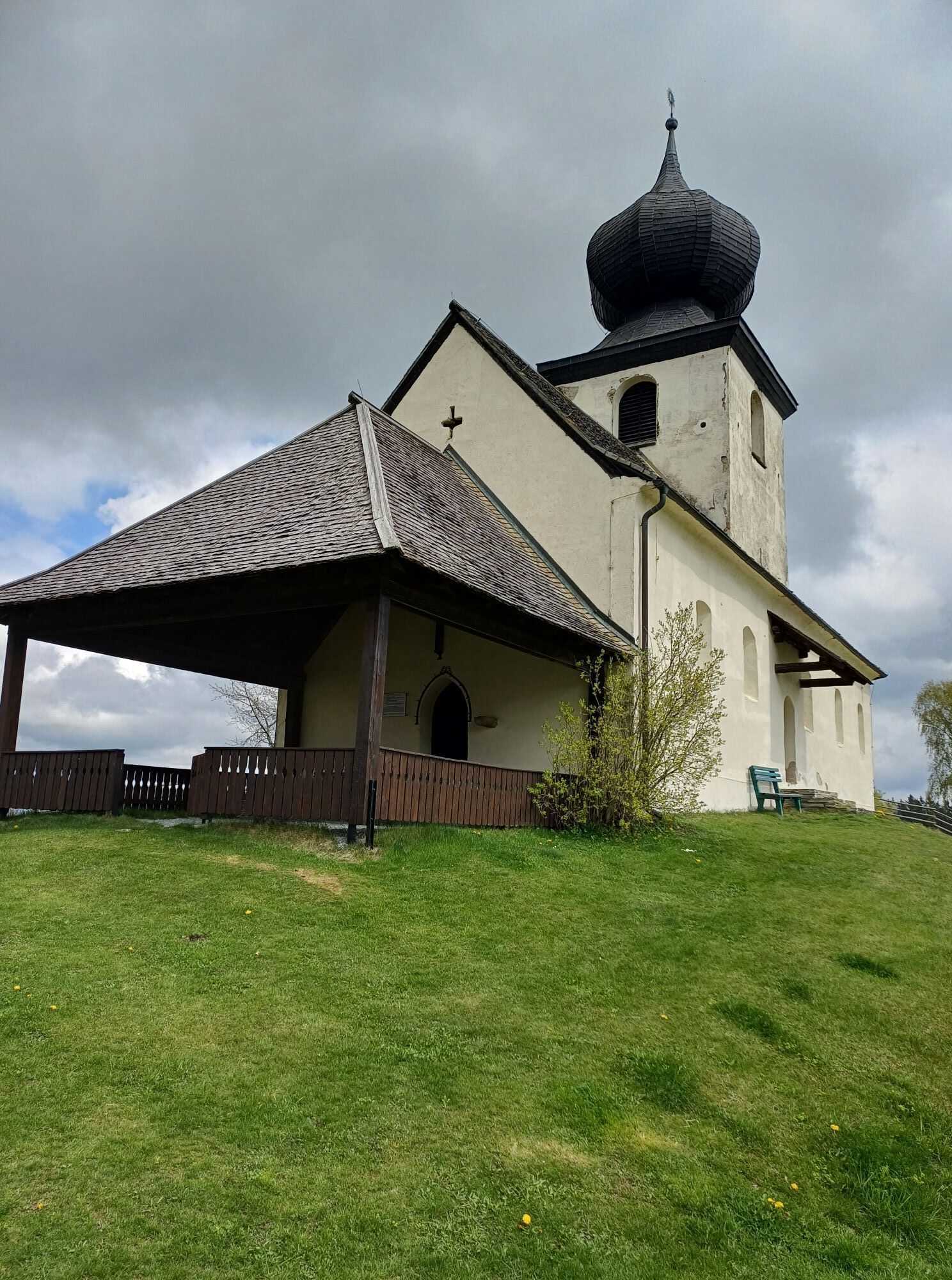
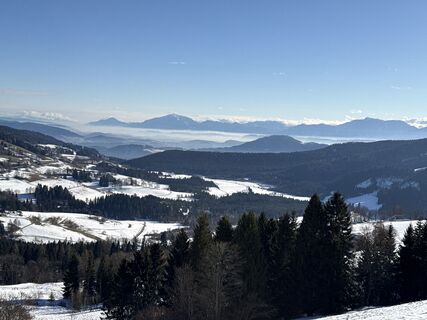
We start the winter hike at the car park on the Simonhöhe and head north. After passing under the Muldenlift, we walk along the northern flank of the Paulsberg until we pass under the North lift. Soon after, we reach the small chapel Hoch St. Paul at 1194 meters and can take a short break here. We let our gaze wander across the plateau of the Dobra moor to the Karawanks before continuing the path. Further on, we go via the St. Pauler Straße on the southern slope of the Paulsberg back to Simonhöhe.
A final stop at the inn is recommended!
Tak
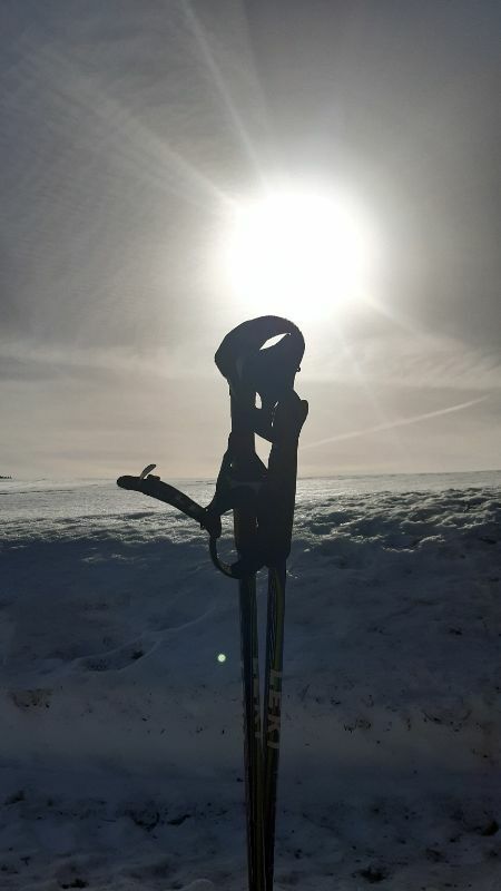
Good winter hiking equipment, hiking poles, drinking supply.
Good winter hiking equipment, hiking poles, drinking supply.
Turn off the B94 onto the Glantalstraße to St. Urban, continue via the Simonhöhstraße to the car park
ÖBB timetable information:
www.oebb.at/en/timetable/timetable-information
Car park on the Simonhöhe
2
Find more routes here:
https://regio.outdooractive.com/oar-mittelkaernten/en/
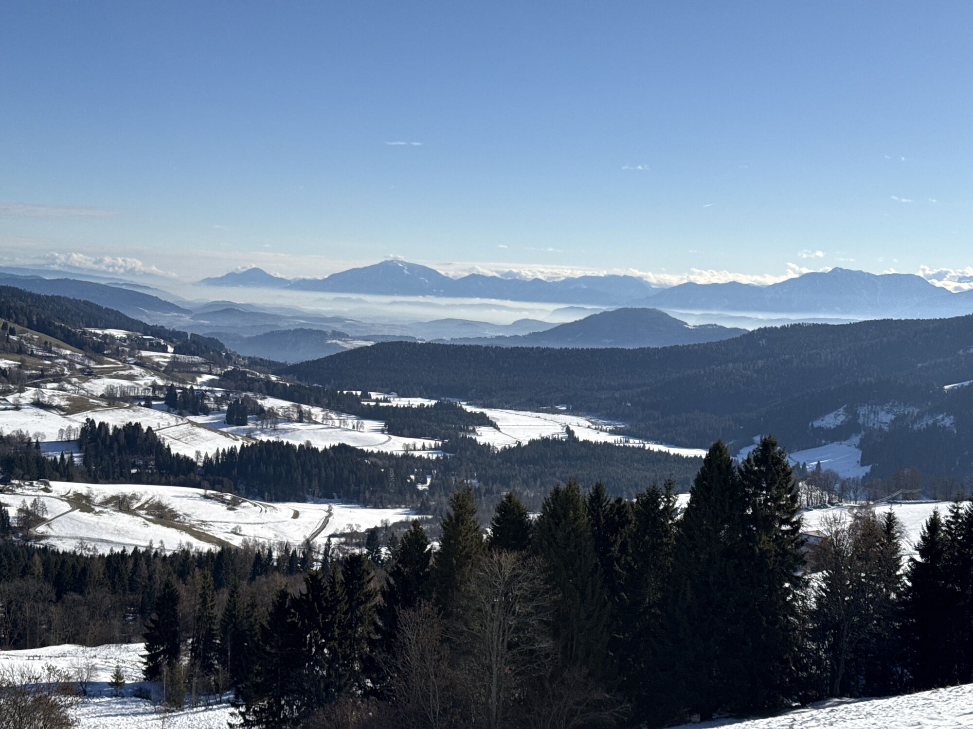
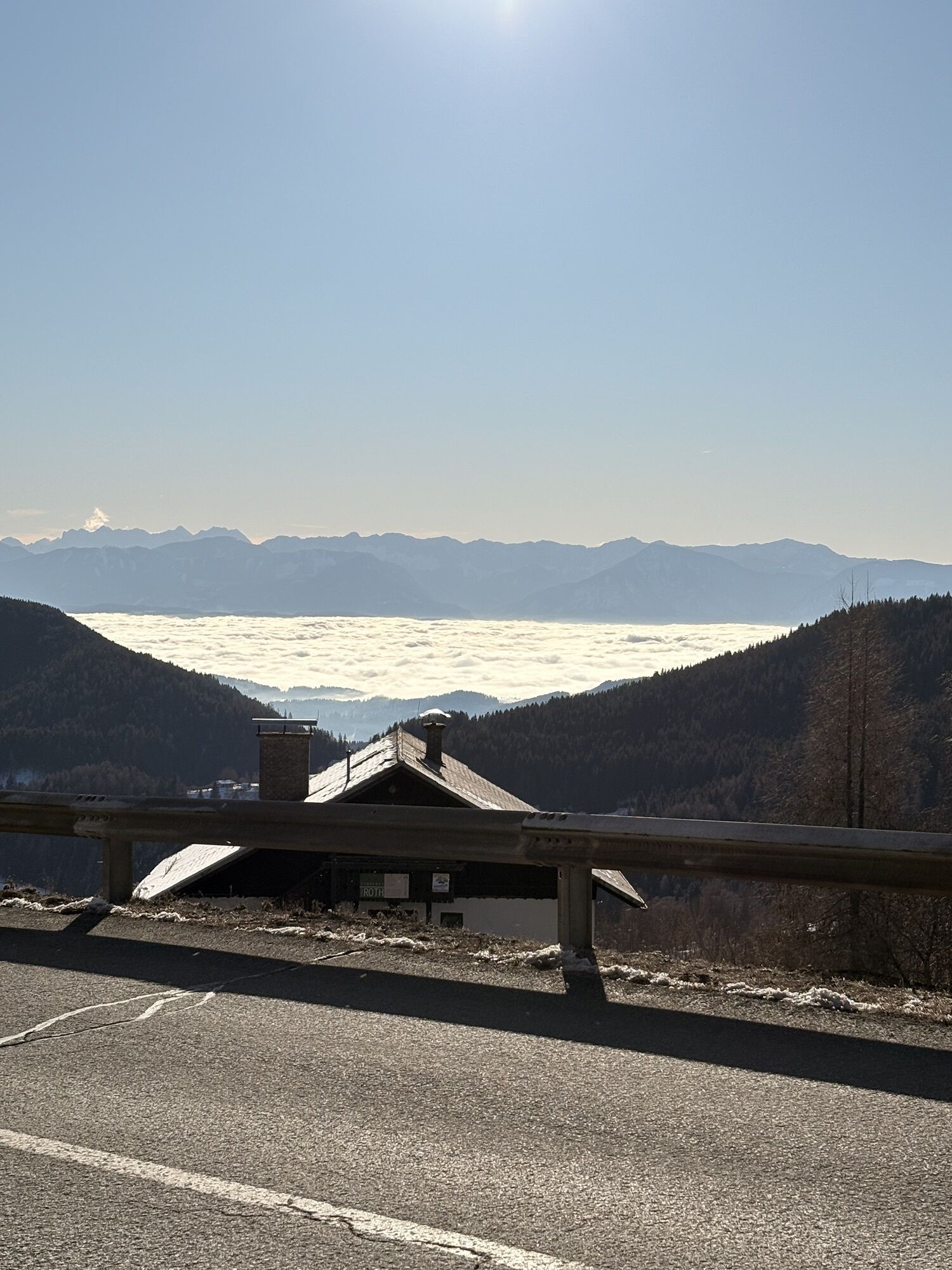
Enjoy a short break at the chapel Hoch St. Paul with a wonderful view into the Glantal valley to the Karawanks!

Kamery internetowe z trasy
Uzyskaj wgląd
Zawsze na żywo z ponad 9 500 kamer internetowych. bergfex Jako użytkownik Pro, możesz teraz zobaczyć odpowiednie kamery internetowe dla wielu wycieczek w aplikacji wycieczki od. Pozwala to na bezpośredni podgląd aktualnych warunków.
Aktywności na trasie
-

Sankt Urban, Kärnten/Österreich
08.08.2026 – Wędrówka -
Sankt Urban, Kärnten/Österreich
14.07.2026 – Wędrówka -

Paulsberg, Kärnten/Österreich
17.05.2026 – Wędrówka -
Paulsberg, Kärnten/Österreich
26.04.2026 – Wędrówka -
Sankt Urban, Kärnten/Österreich
08.02.2026 – Wędrówka -
Sankt Urban, Carinthia/Austria
03.01.2026 – Wędrówka -

Paulsberg, Kärnten/Österreich
31.12.2025 – Wędrówka -
Sankt Urban, Kärnten/Österreich
25.12.2025 – Wędrówka -

Sankt Urban, Kärnten/Österreich
06.09.2025 – Wędrówka
Popularne wycieczki w okolicy
-
4,5
Hoher Gallin route
średniWędrówka 7,09 km -
4,7
Abenteuer-Wasser-Weg
średniWędrówka 9,13 km -
4,7
Vierbergelauf
średniTrasa pielgrzymki 47,6 km -
4,1
Slow Trail Bleistätter Moor (Variant A)
światłoWędrówka 7,22 km -
4,5
Ulrichsberg
światłoWędrówka 5,60 km -
4,9
Slow Trail Maltschacher See - large loop
światłoTrasa tematyczna 7,04 km -
4,0
Natural spectacle Tiebel springs - Himmelberg
Wędrówka 9,84 km -
4,0
Schloss Frauenstein - Kraiger lake circular route
średniWędrówka 6,96 km -
4,5
Wanderung Hoher Gallin lt. Feldkirchner Stadtplan Weg Nr. 4
średniWędrówka 10,9 km -
4,6
Vier Gipfel, ein Wanderhimmel - Himmelberg
Wędrówka 22,9 km
Wędrówki i tropienie


Nie przegap ofert i inspiracji na następne wakacje
Twój adres e-mail została dodana do listy mailingowej.





