







Schloss Frauenstein - Kraiger lake circular route
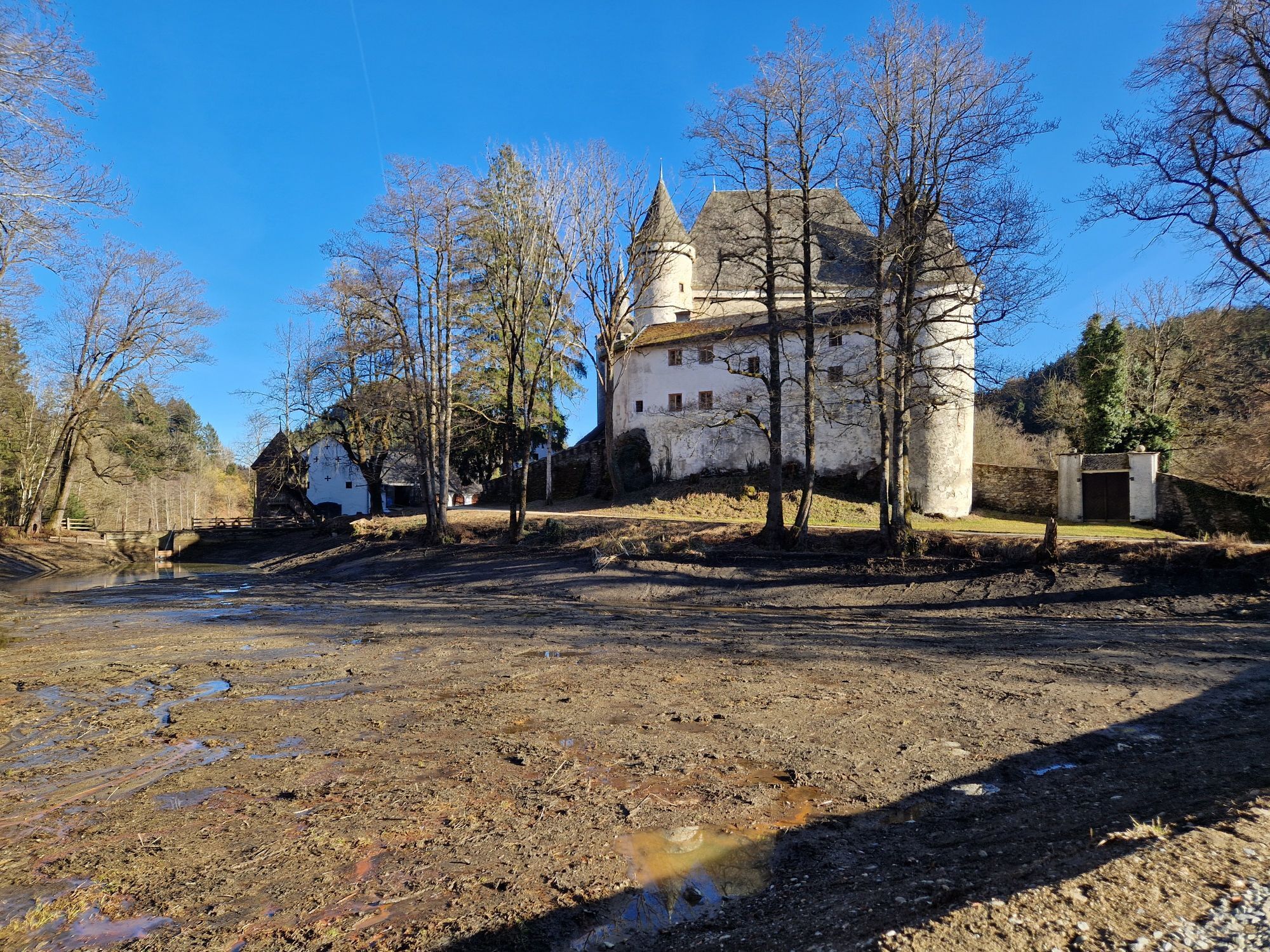
Family-friendly circular route from Schloss Frauenstein over the Kraiger ponds to the Kraiger castles, to Kraiger lake - Seebichlhof around Kulm and back to Schloss Frauenstein.
Highlights of this route...
Family-friendly circular route from Schloss Frauenstein over the Kraiger ponds to the Kraiger castles, to Kraiger lake - Seebichlhof around Kulm and back to Schloss Frauenstein.
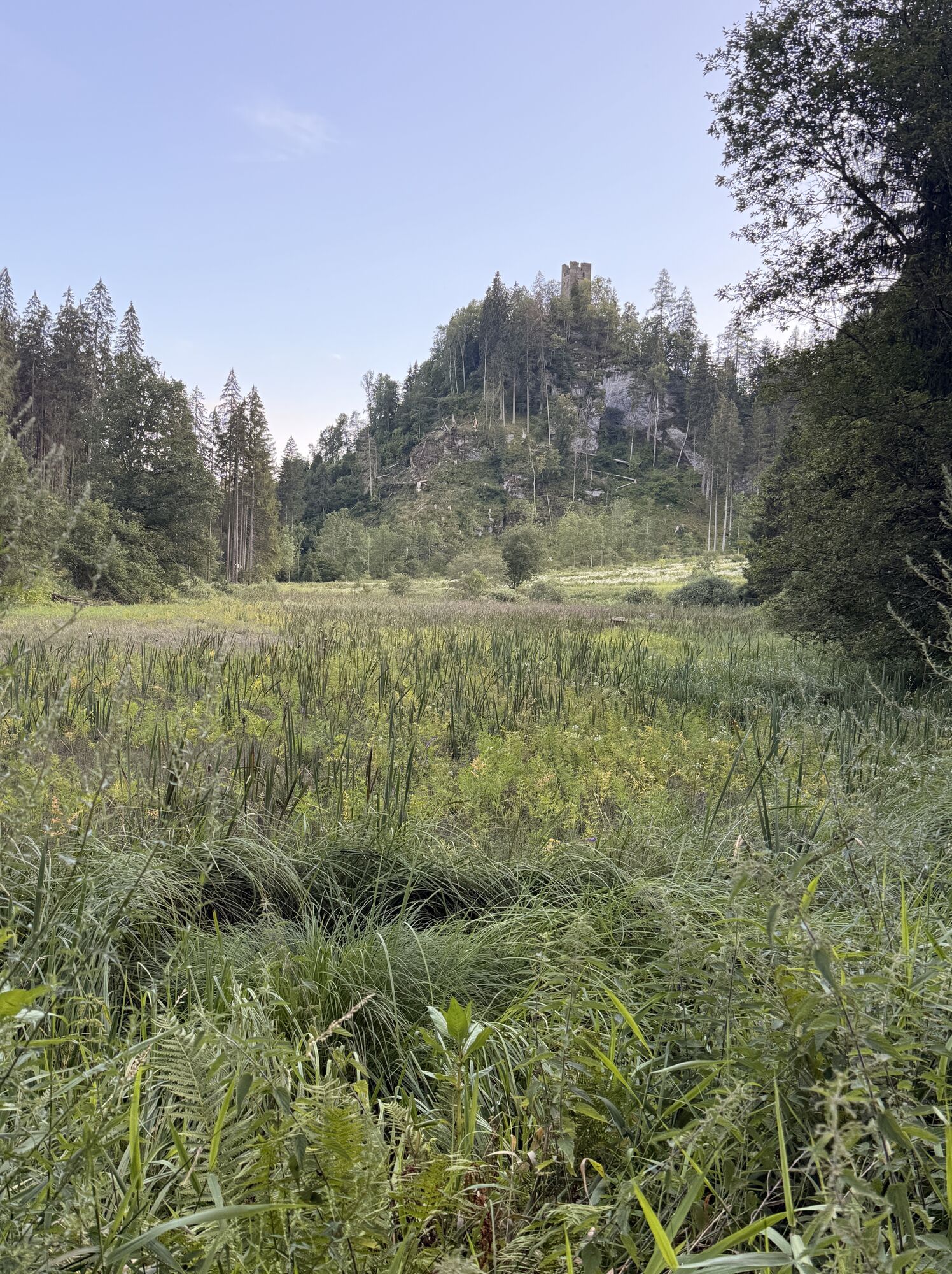
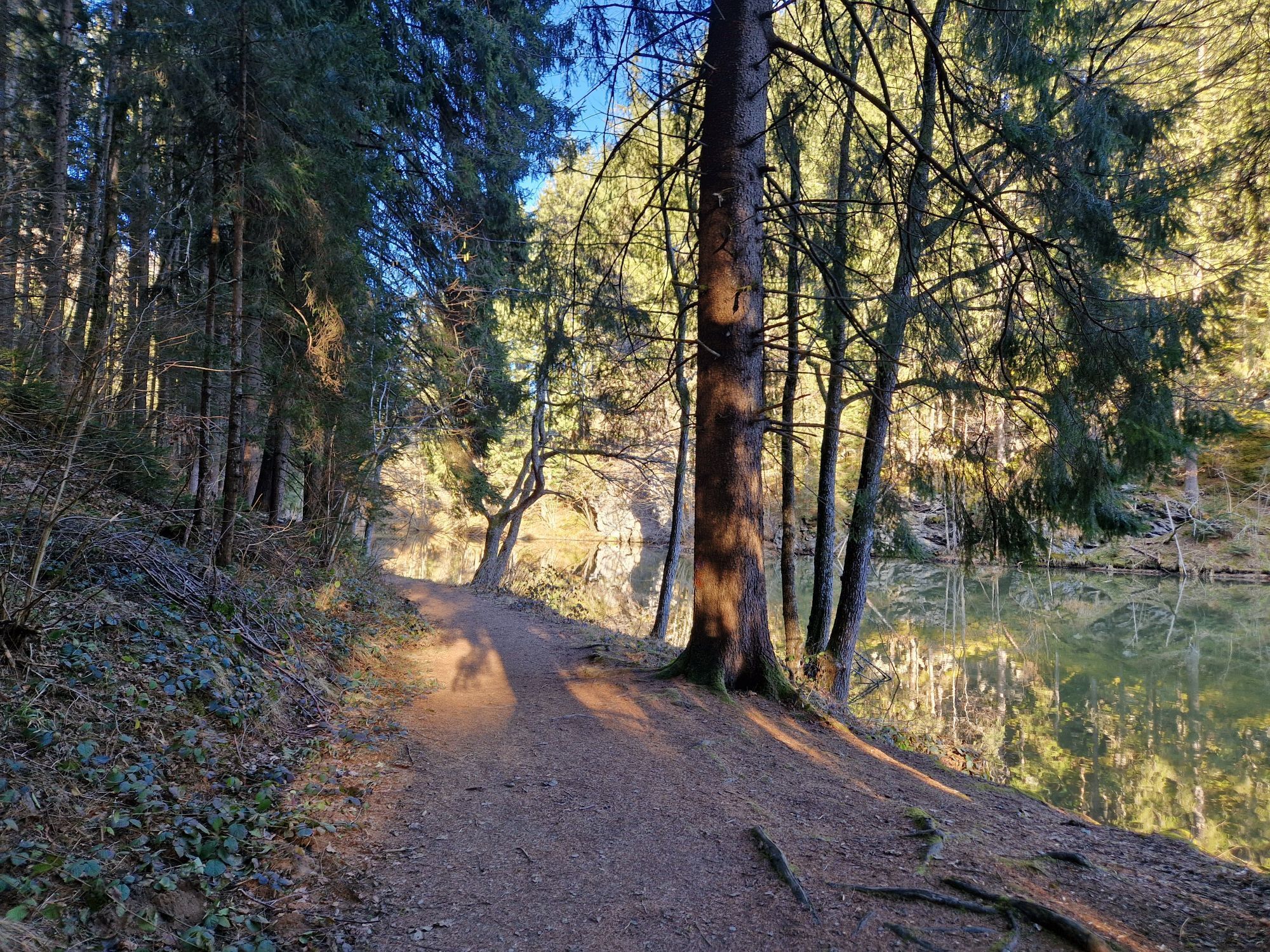
Highlights of this route are the overgrown and ruined castles Hochkraig, Niederkraig, and Vorburg. The route begins at the picturesque Schloss Frauenstein, a historic gem with impressive architecture and magnificent views. The path leads through gentle hills and dense forests, past idyllic meadows and small streams. Along the way, you pass Kraiger lake, a picturesque body of water that invites you to linger and relax. The trail is well signposted and offers both scenic beauty and cultural sights such as Schloss Frauenstein. Enjoy the peace of nature and the historic atmosphere of this unique hike.

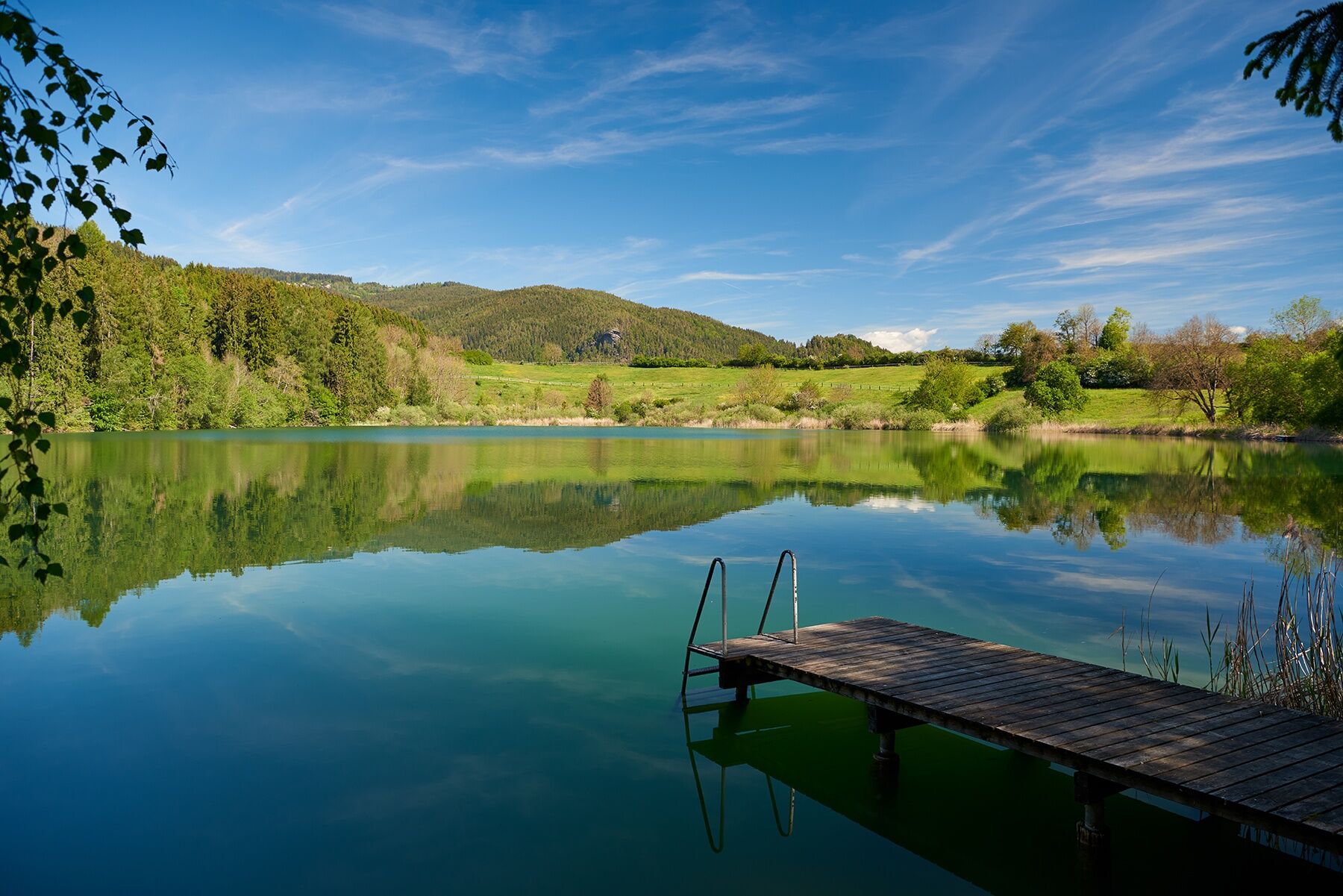
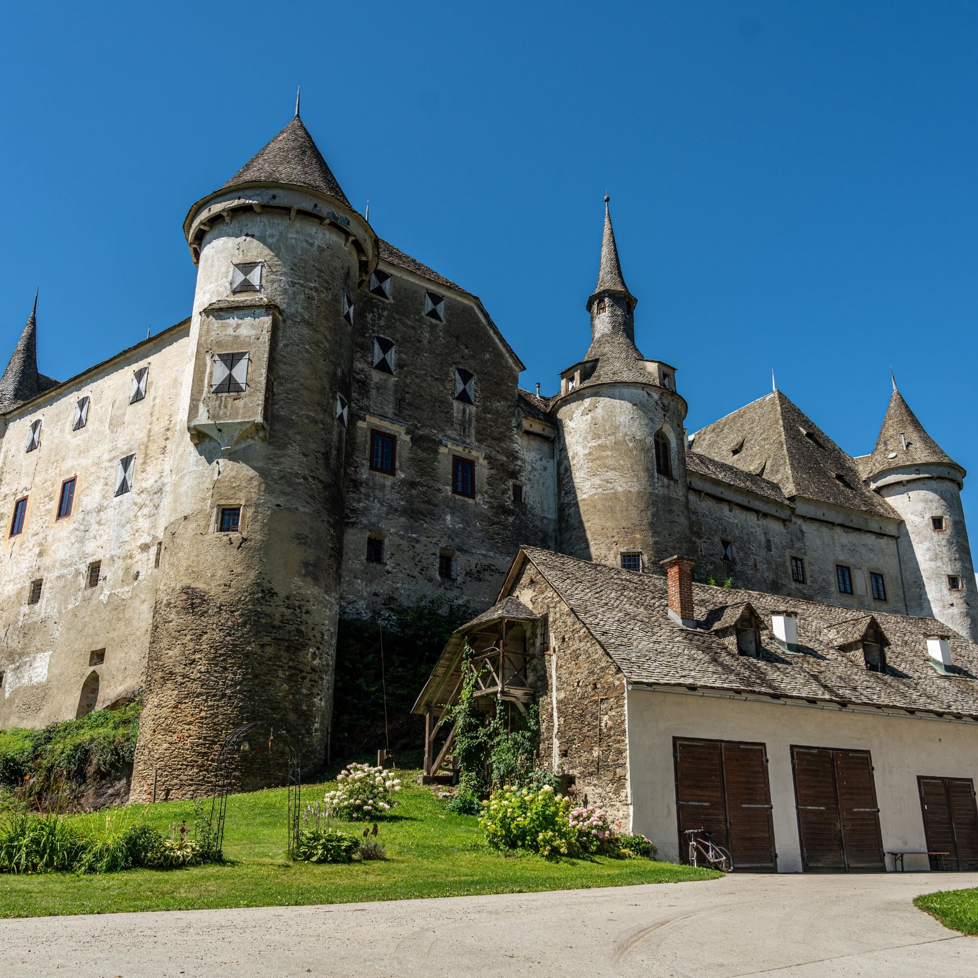
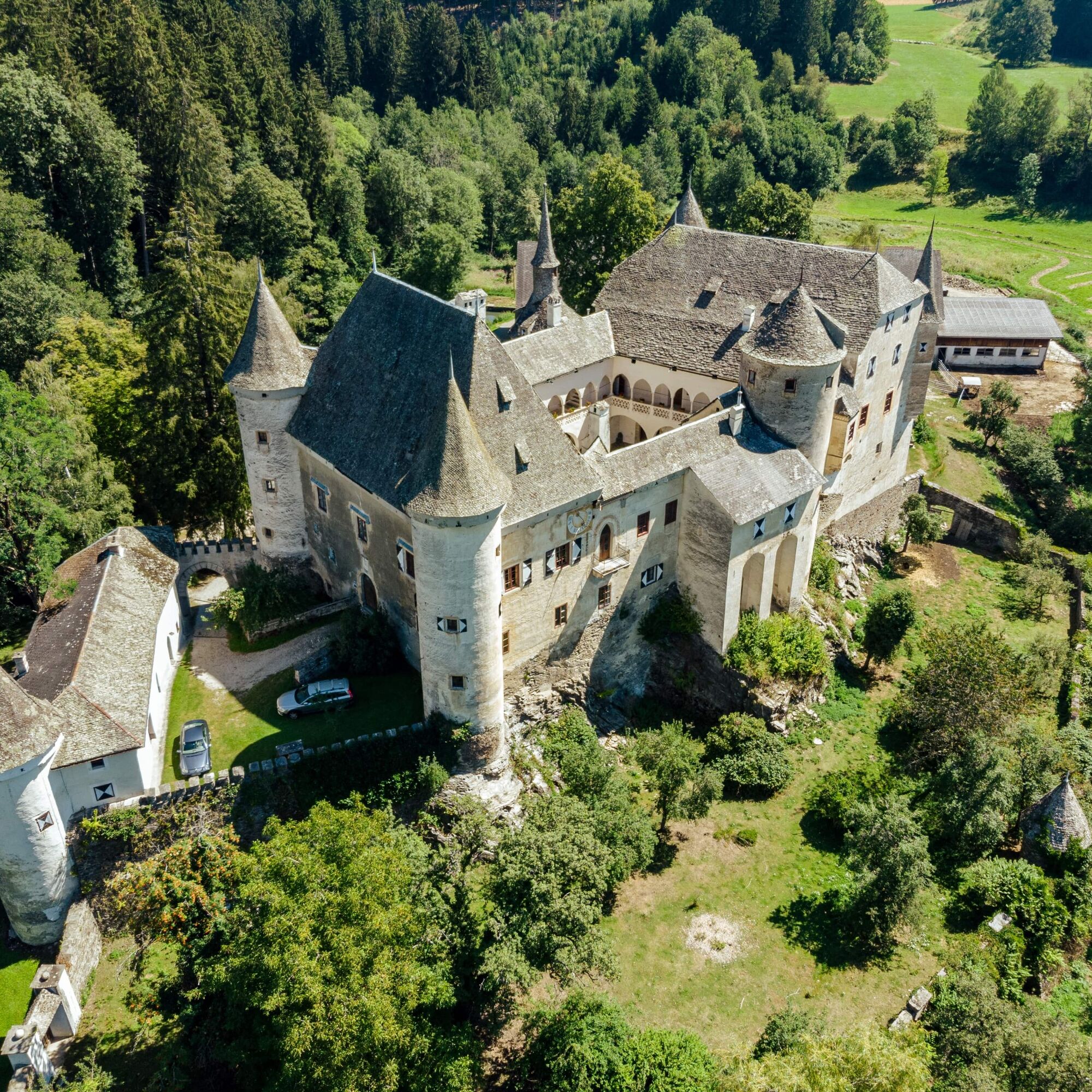
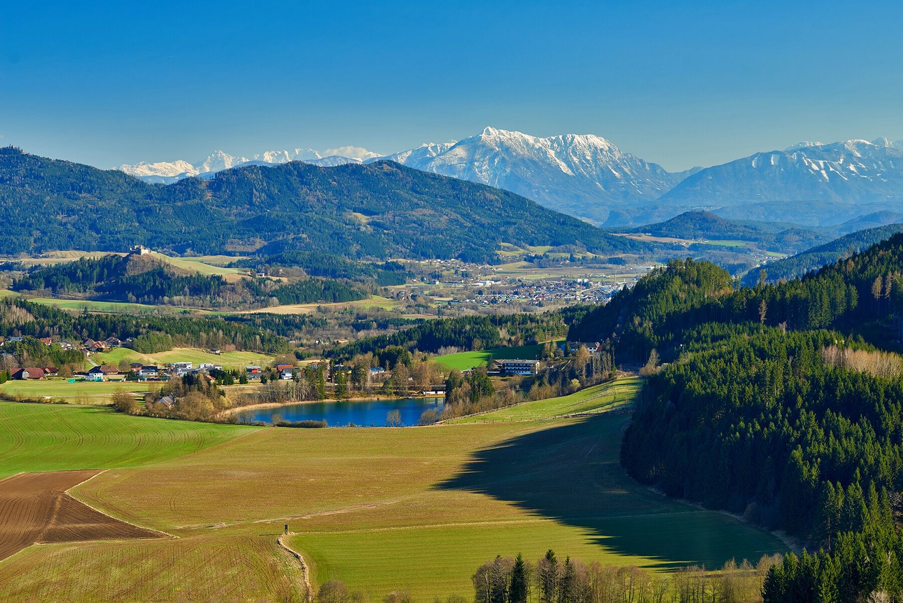

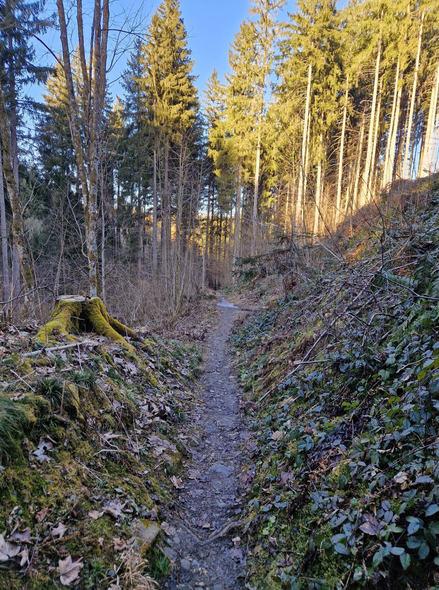
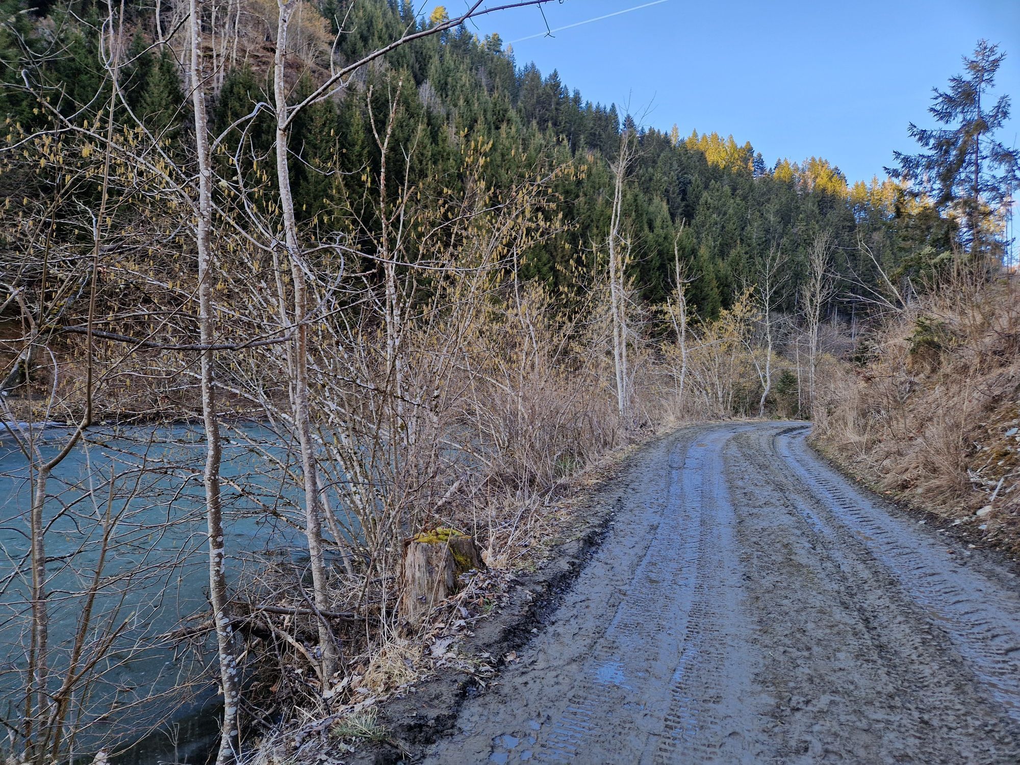
Schloss Frauenstein is the starting point of this beautiful and shady hike. North of the castle, follow the forest path along the Frauenstein ponds. You have a magnificent view of the Kraiger castles (ruins). At the aqueduct, keep right and continue along the forest path past a remote area until you reach the panorama trail above the Kraiger lake. Continue towards the Seebichlhof guesthouse. In front of the Seebichlhof, watch for the red arrows attached to a long agricultural building. The path leads you behind the farm towards the west. You walk along the forest edge of the hill "Kulm." After a short ascent, it goes downhill again towards the Frauenstein ponds. You reach the forest path you already walked on during the outward journey and now keep left. The path goes along two ponds back to the starting point, Schloss Frauenstein.
Tak
Sturdy footwear and clothing adapted to the season are recommended.
please pay attention to the weather
From St. Veit towards Obermühlbach and further to Schloss Frauenstein, or via Zensweg to Kraiger lake, if you want to start the circular route there.
ÖBB timetable information:
https://fahrplan.oebb.at/webapp/#!P|TP!H|671463
You can park at Schloss Frauenstein.
You can observe the silting up of waters by the Frauenstein ponds.
Schloss Frauenstein is one of the best-preserved examples of late medieval castle architecture in Carinthia. Kraiger lake is a small lake -25C.


 Uzyskaj wgląd Zawsze na żywo z ponad 9 500 kamer internetowych. bergfex Jako użytkownik Pro, możesz teraz zobaczyć odpowiednie kamery internetowe dla wielu wycieczek w aplikacji wycieczki od. Pozwala to na bezpośredni podgląd aktualnych warunków.


Popularne wycieczki w okolicy
- 4,7
Abenteuer-Wasser-Weg
średniWędrówka 9,13 km - 4,7
Vierbergelauf
średniTrasa pielgrzymki 47,6 km - 4,5
Ulrichsberg
światłoWędrówka 5,60 km - 3,7
Kunstwanderweg rund um den Längsee (1)
światłoWędrówka 5,43 km - 4,3
Certified hiking trail: Guttaring - Mariahilferweg - permanent IVV hiking trail
średniWędrówka 11,2 km - 4,1
MAGDALENSBERG RUNDWANDERUNG
średniWędrówka 11,7 km - 4,4
Magdalensberg von St.Donat
światłoWędrówka 9,28 km - 4,1
Althofen Wald Ausichtsweg
światłoWędrówka 3,94 km - 4,0
Around the Buchberg (6)
średniWędrówka 8,79 km - 4,7
Through the Wolschart Forest (8)
średniWędrówka 9,98 km
Wędrówki i tropienie


Nie przegap ofert i inspiracji na następne wakacje
Twój adres e-mail została dodana do listy mailingowej.





