






Seebachhöhe
The Teuchl, a long side valley of the Mölltal that branches south at Penk, hosts some wonderful routes that can all still be described as "insider tips." Seebachhöhe is a particularly rewarding destination...
The Teuchl, a long side valley of the Mölltal that branches south at Penk, hosts some wonderful routes that can all still be described as "insider tips." Seebachhöhe is a particularly rewarding destination that can also be reached without the usually required "long trench slog".
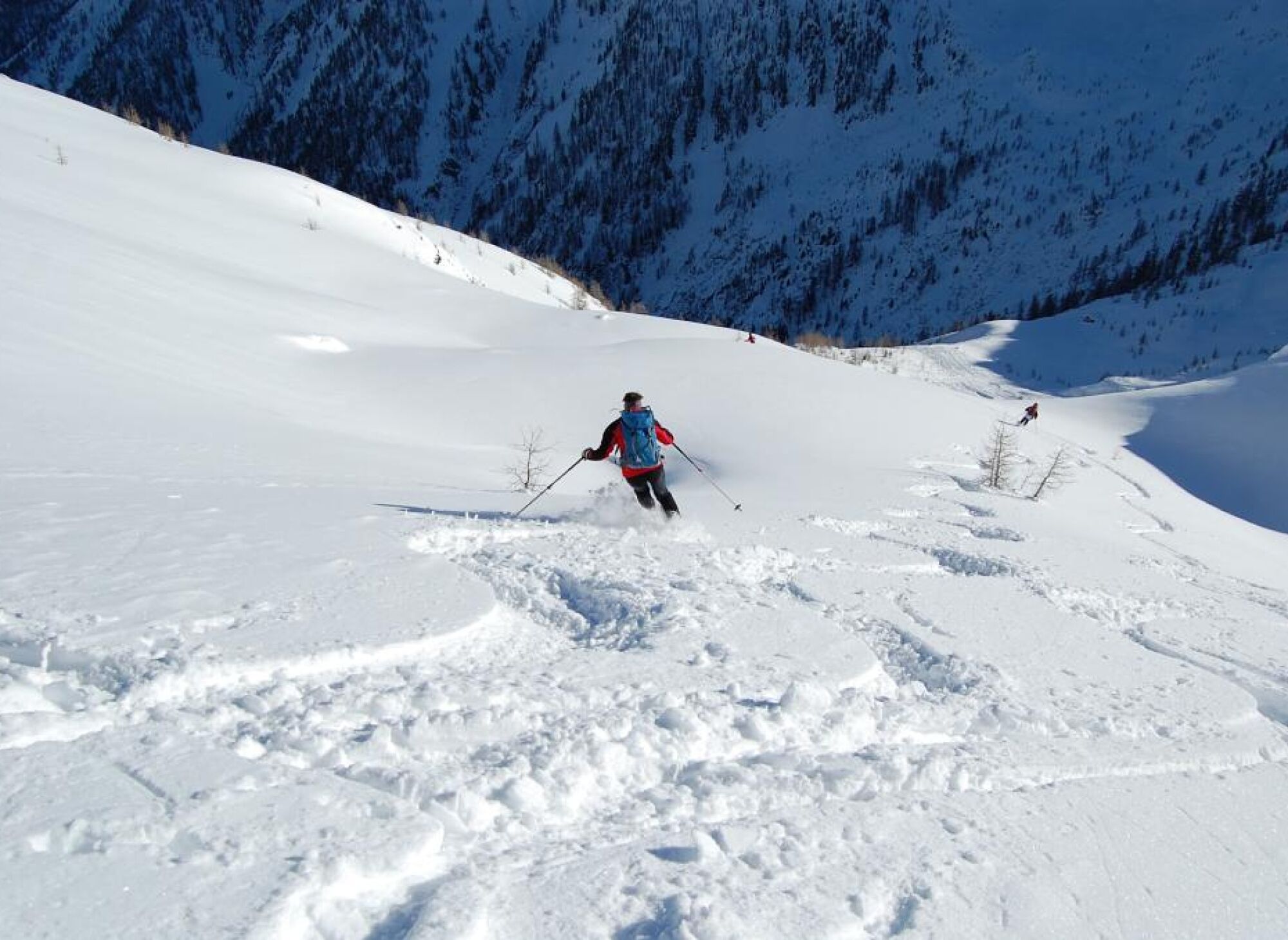
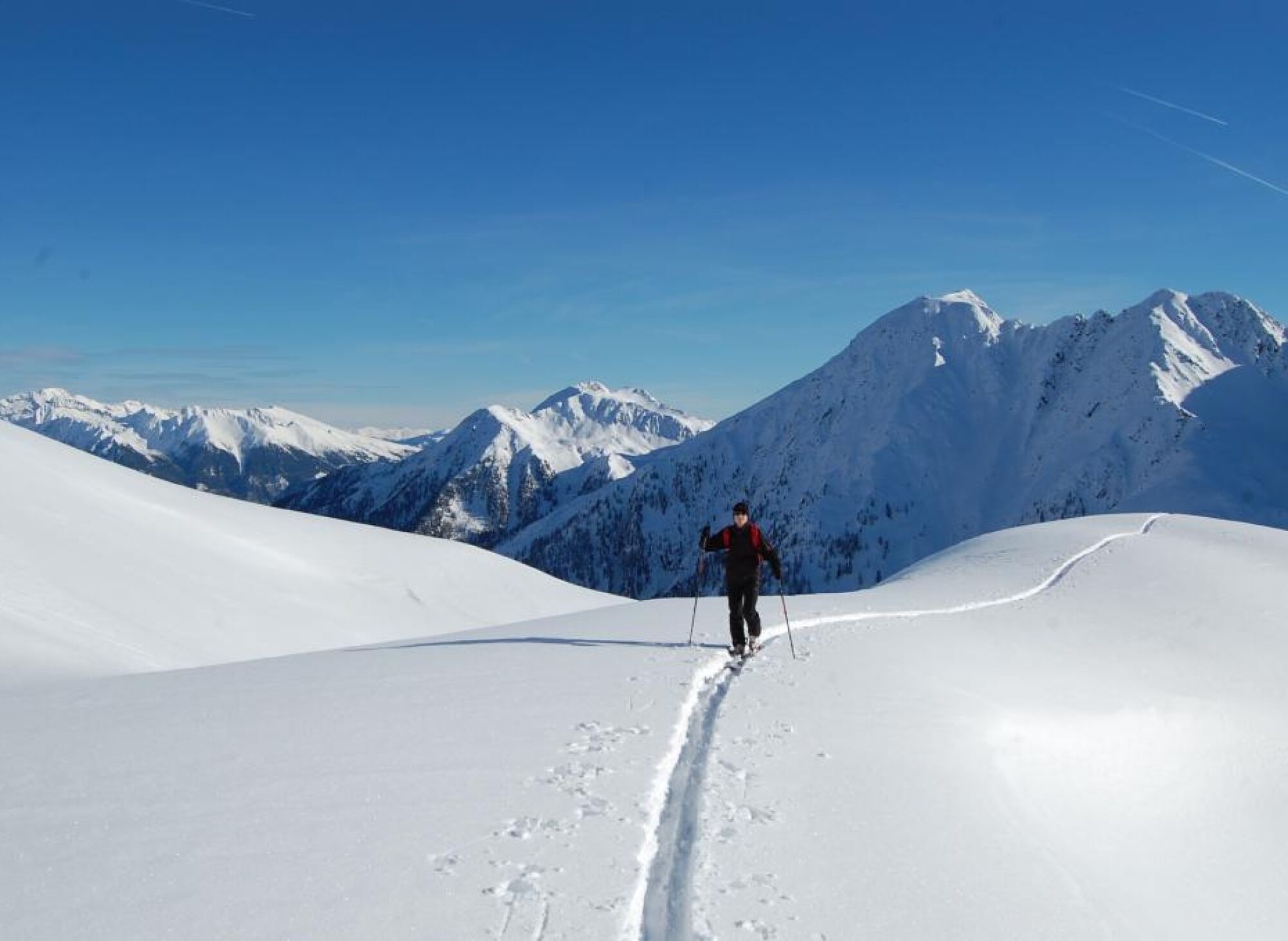
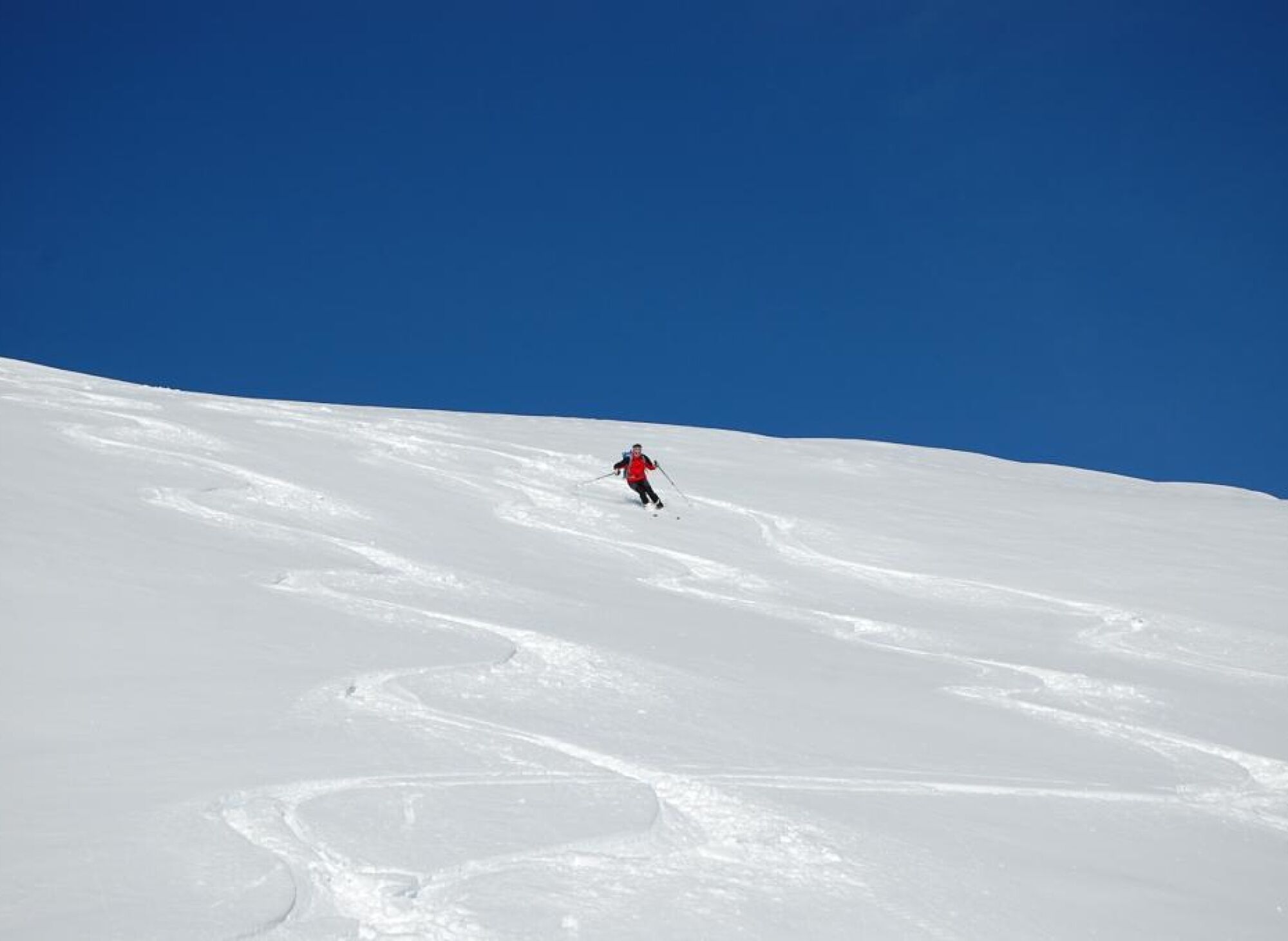
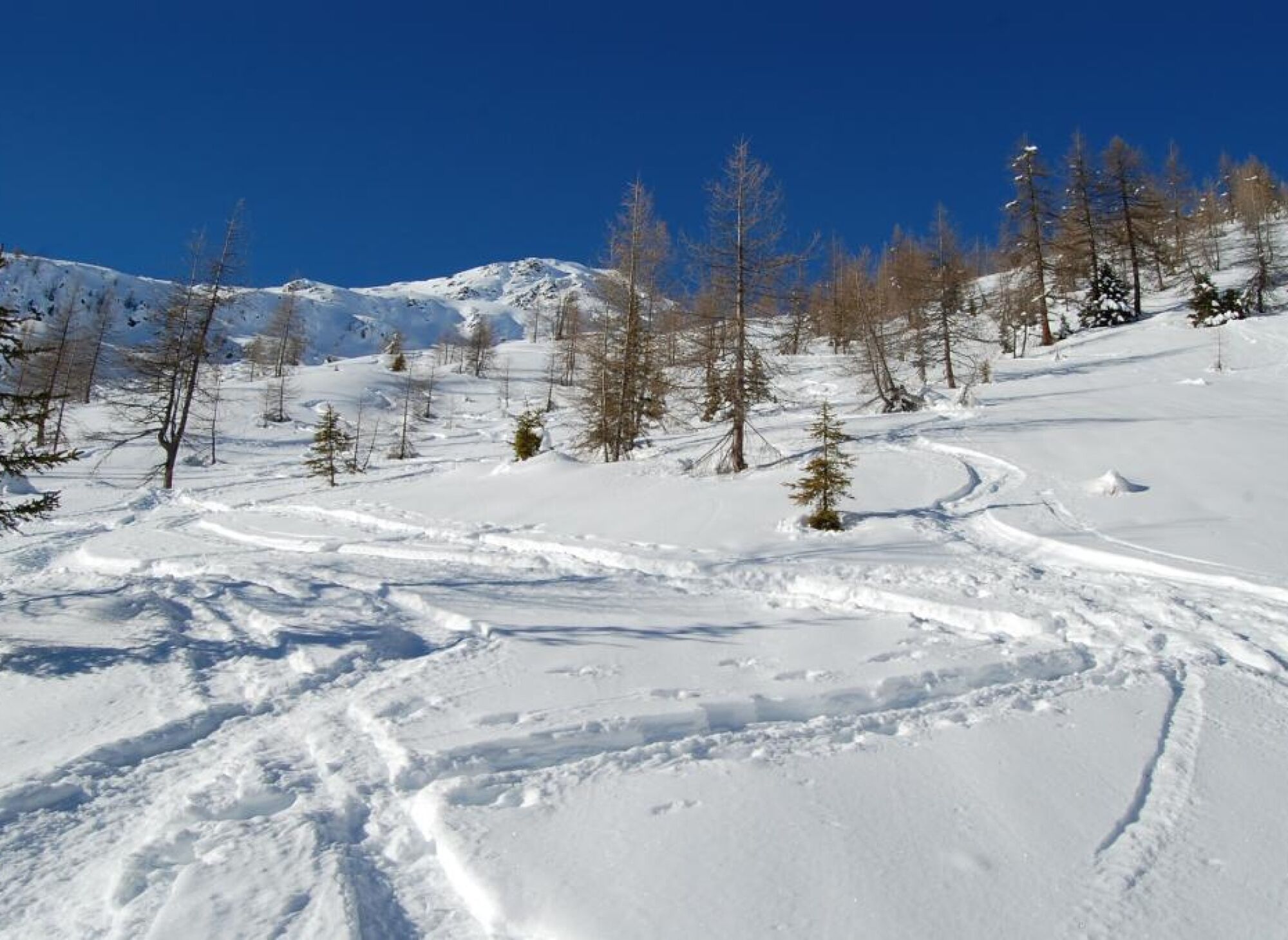

Opposite the Gasthof Alpenheim, cross a bridge into the Seebach valley and then uphill on a forest road. The first bends of this forest road can be shortened on the old alpine path, depending on snow conditions. After about 1 hour you reach the Seebach alpine meadows. Here first climb along the right (western) slope through a larch forest along the summer path (here turn right to the Seebachriegel, a somewhat easier forepeak - also very rewarding!). Then turn left over a stream, ascend through a shrub zone in several bends to the treeline. Now head west towards the summit. Above the Seebachtörl (this notch is not to be entered!) you reach the ridge descending from the summit. Finally go directly along this ridge straight to the summit.
Descent: In the area of the ascent route.
Tak
Standard ski touring and avalanche transceiver equipment
Turn off the Mölltal federal road (B106) at Penk and drive into the village of Teuchl. After the small mountain hamlet, first a little uphill again, then downhill into the valley floor and continue to Gasthof Alpenheim.
Parking lot at Gasthof Alpenheim
Respect your limits! 5 rules for responsible snowshoeing or ski touring:
Where available, stay on marked routes; be sure to observe information boards as well as protected, conservation, and restricted areas. Be considerate of wildlife: avoid feeding areas and immediately and calmly retreat upon sighting an animal. Avoid young tree cultures (under three meters), as ski edges can cause serious damage to the trees. Do not leave any waste behind. Avoid noise.Important for ski touring: prohibition of riding in young forest and reforestation areas
Popularne wycieczki w okolicy
-
4,5
Groppenstein Gorge Obervellach
średniWędrówka 2,99 km -
4,0
Raggaschlucht
średniWędrówka 3,44 km -
4,0
Barbarossa Gorge near Mühldorf/Mölltal
światłoWędrówka 2,74 km -
4,7
Drau Cycle Path R1
światłoJazda na rowerze 75,9 km -
4,0
Emberger Alm - Hochtristen
średniWędrówka 9,50 km -
4,8
Mühldorfer Alm - Kleiner Salzkofel
średniWędrówka 11,6 km -
4,7
Teuchlspitz
średniWędrówka 10,8 km -
4,2
The Glockner cycle route R8
średniJazda na rowerze 89,7 km -
5,0
Water Experience Trail Greifenburg
średniWędrówka 7,42 km -
5,0
Emberger Alm 3er: Nassfeld, H.Gränten, Knoten
średniWędrówka 11,6 km
Wędrówki i tropienie


Nie przegap ofert i inspiracji na następne wakacje
Twój adres e-mail została dodana do listy mailingowej.





