







Water Experience Trail Greifenburg
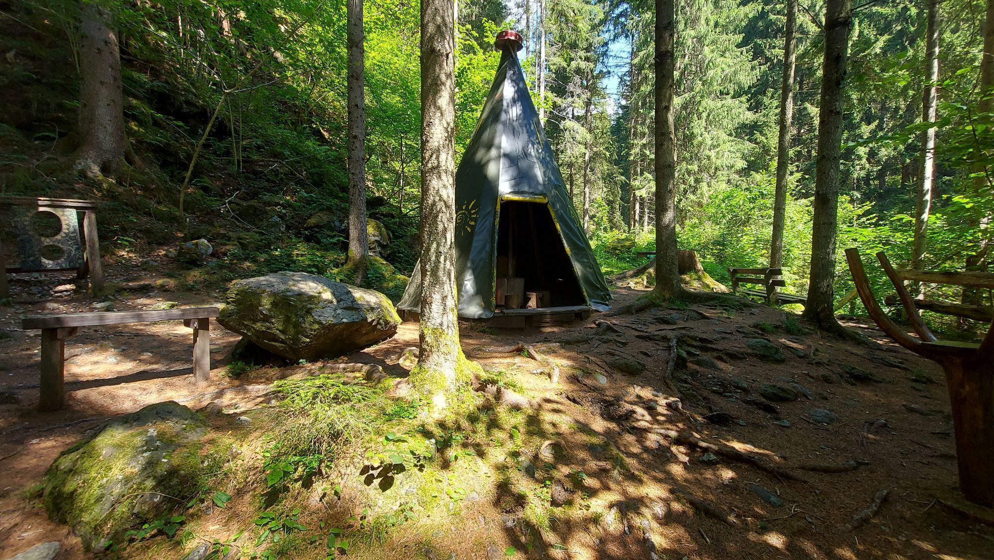
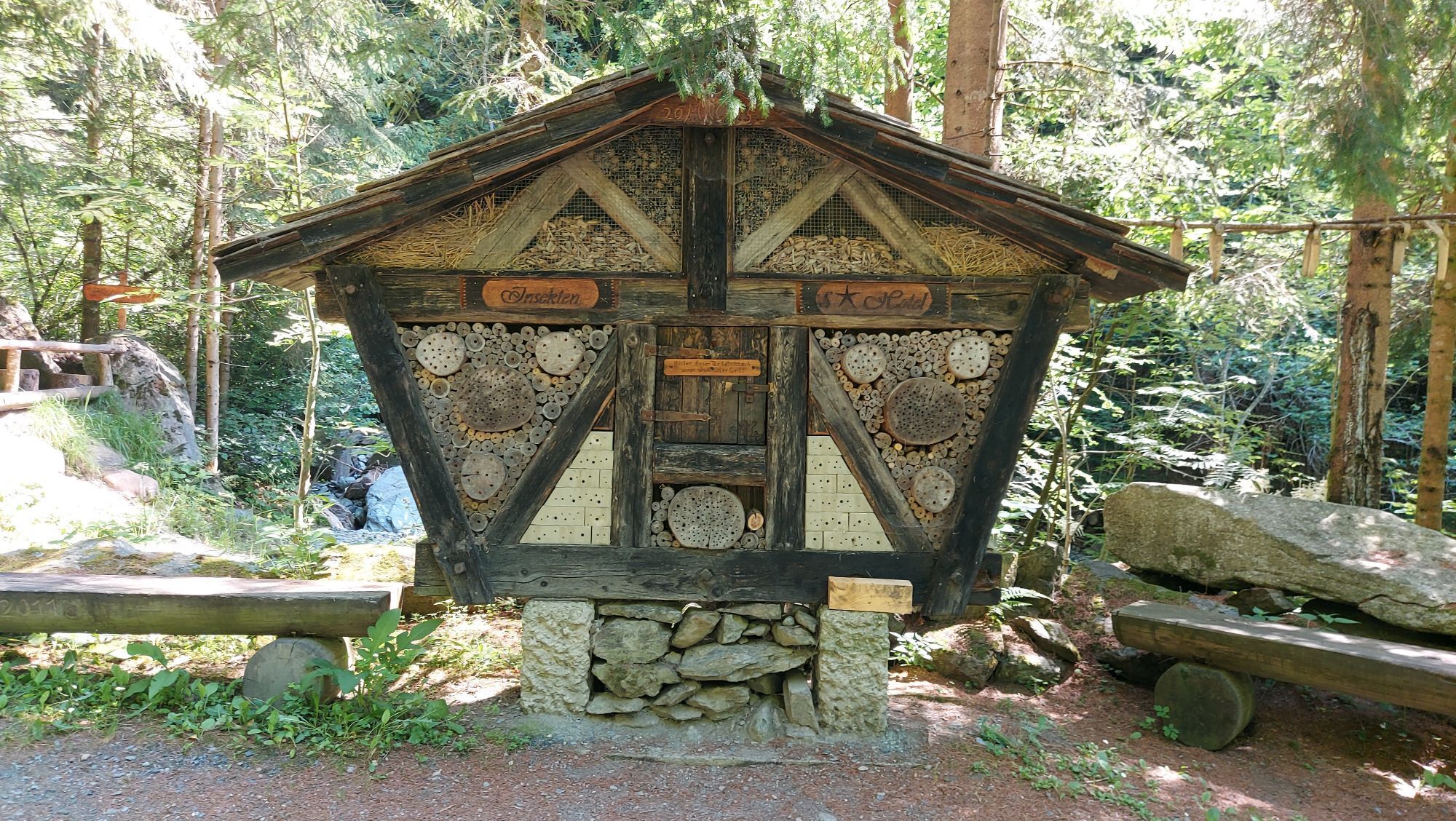
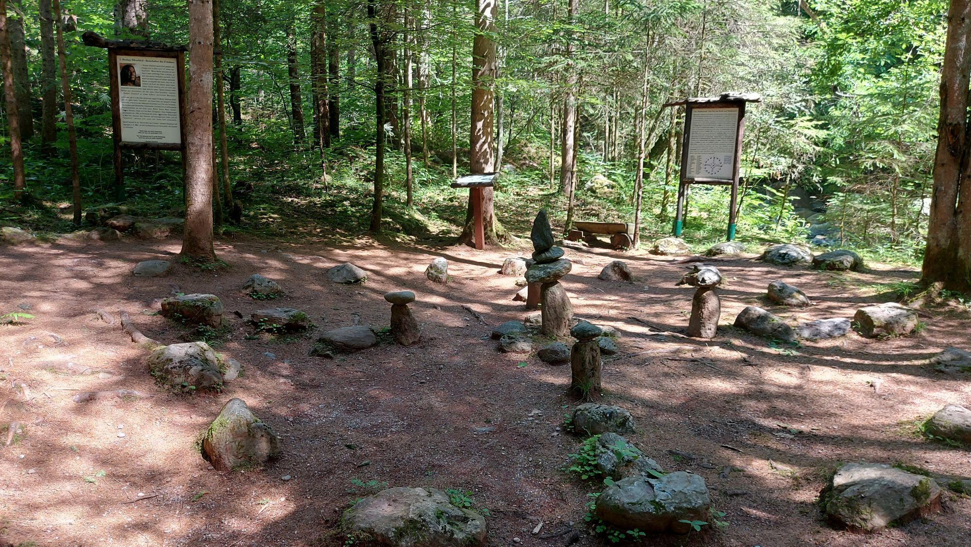
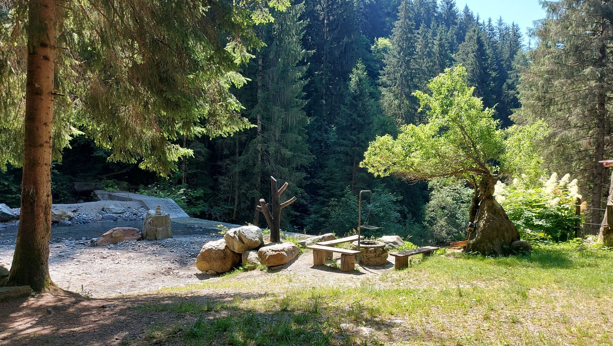
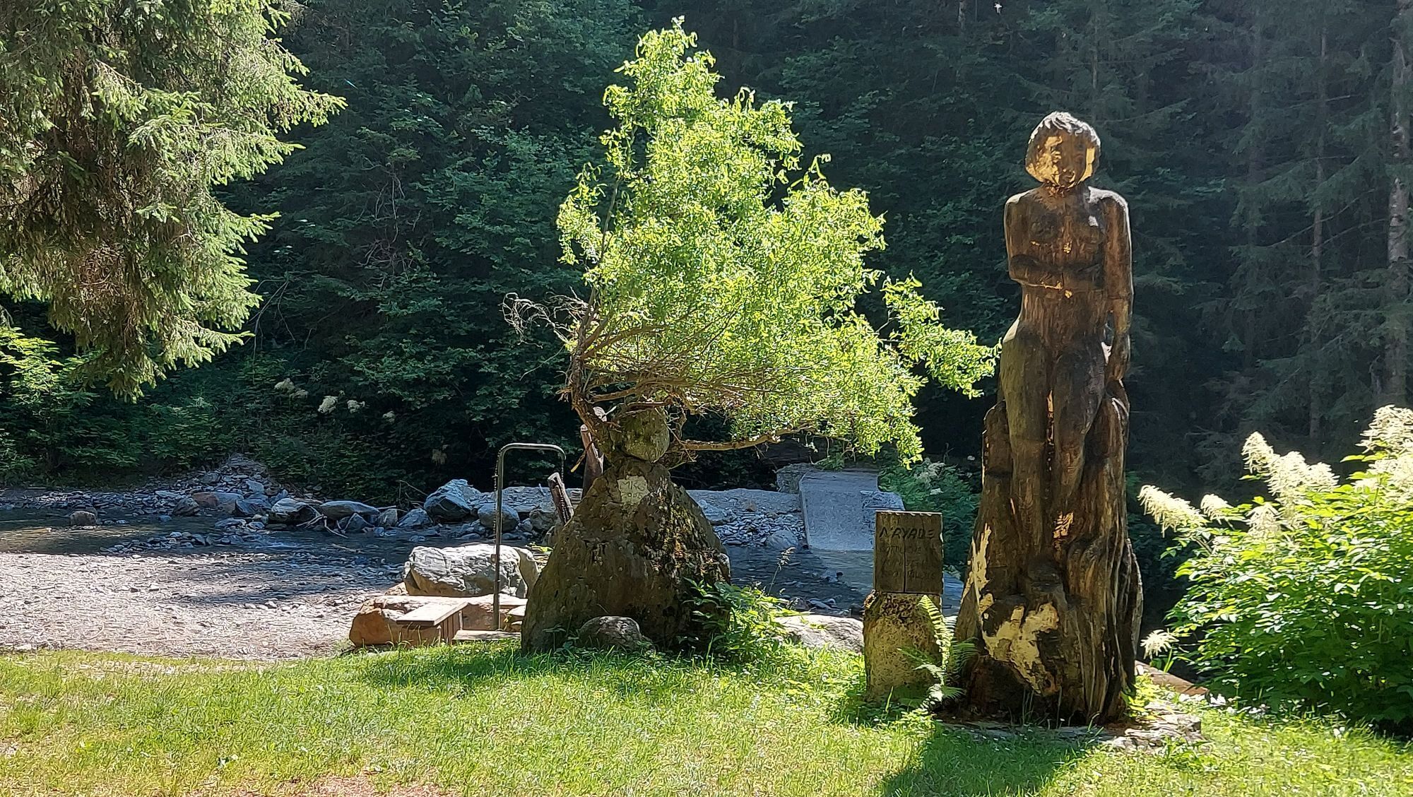
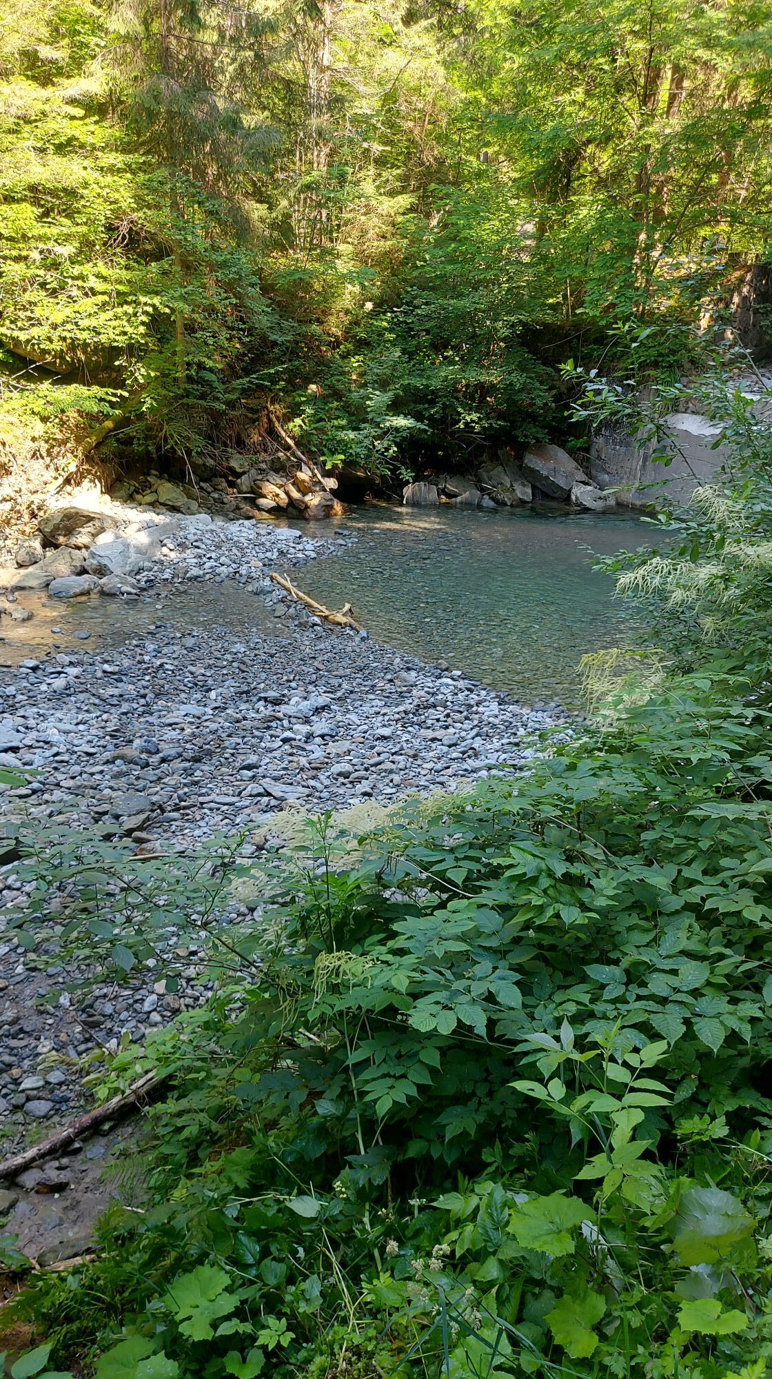
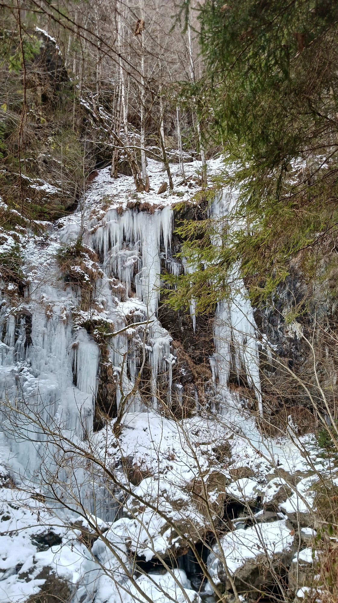
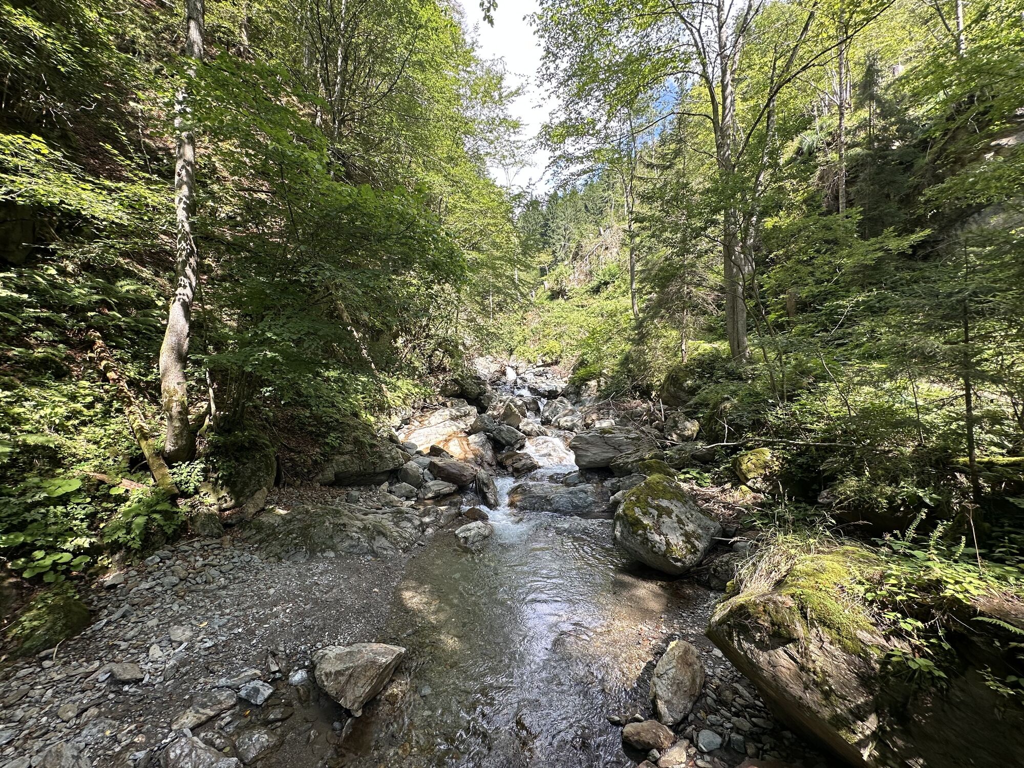
A truly eventful hike is the route into the Gnoppnitzklamm. The roaring water of the small wild stream already provides an adventurous soundscape along the path. The many excellently designed experience...
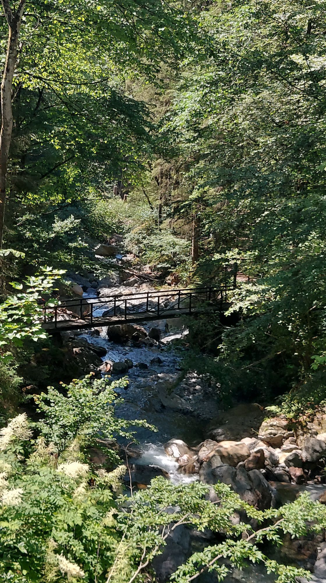
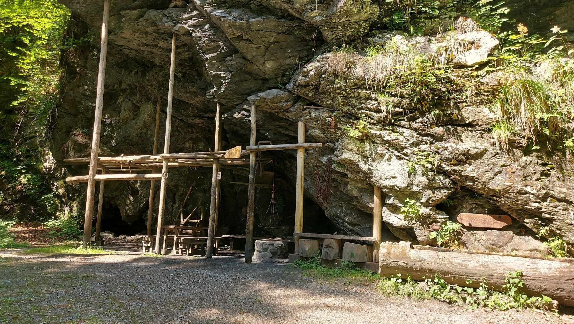
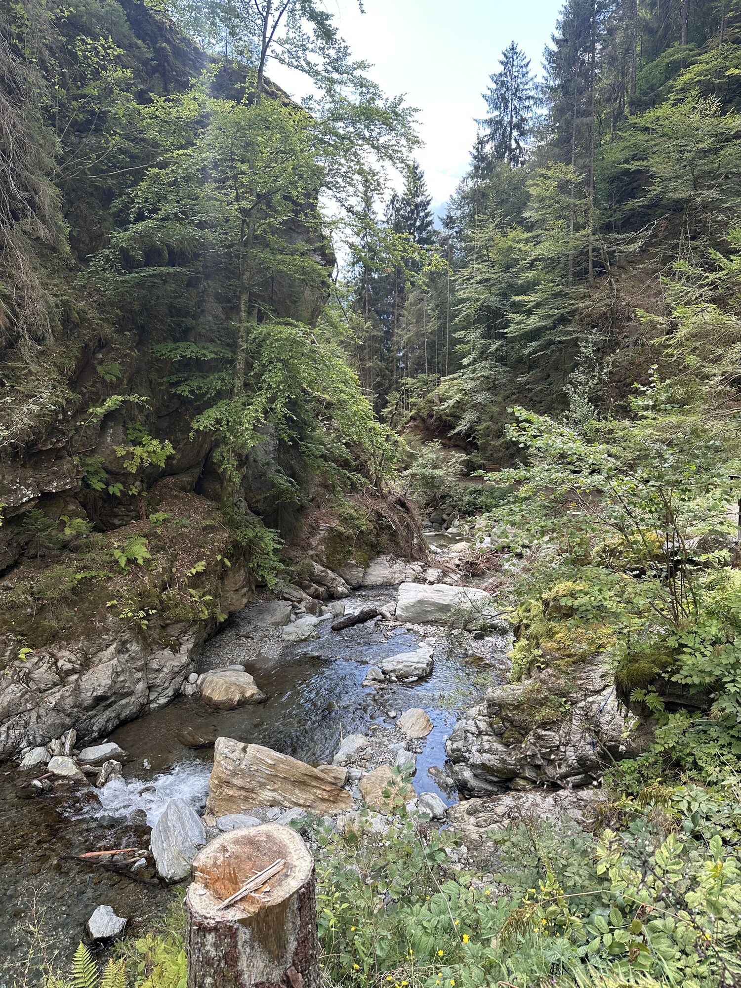
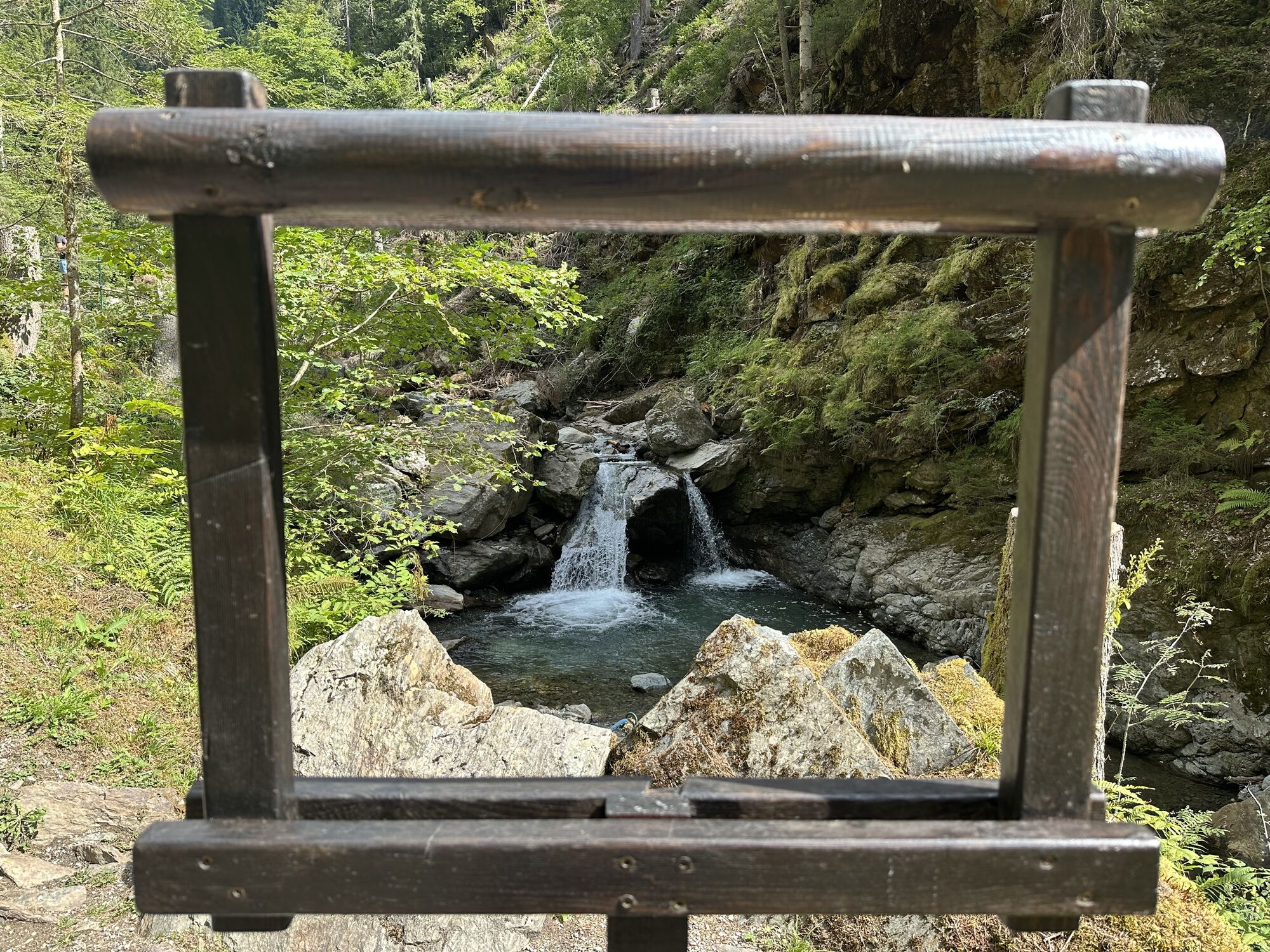
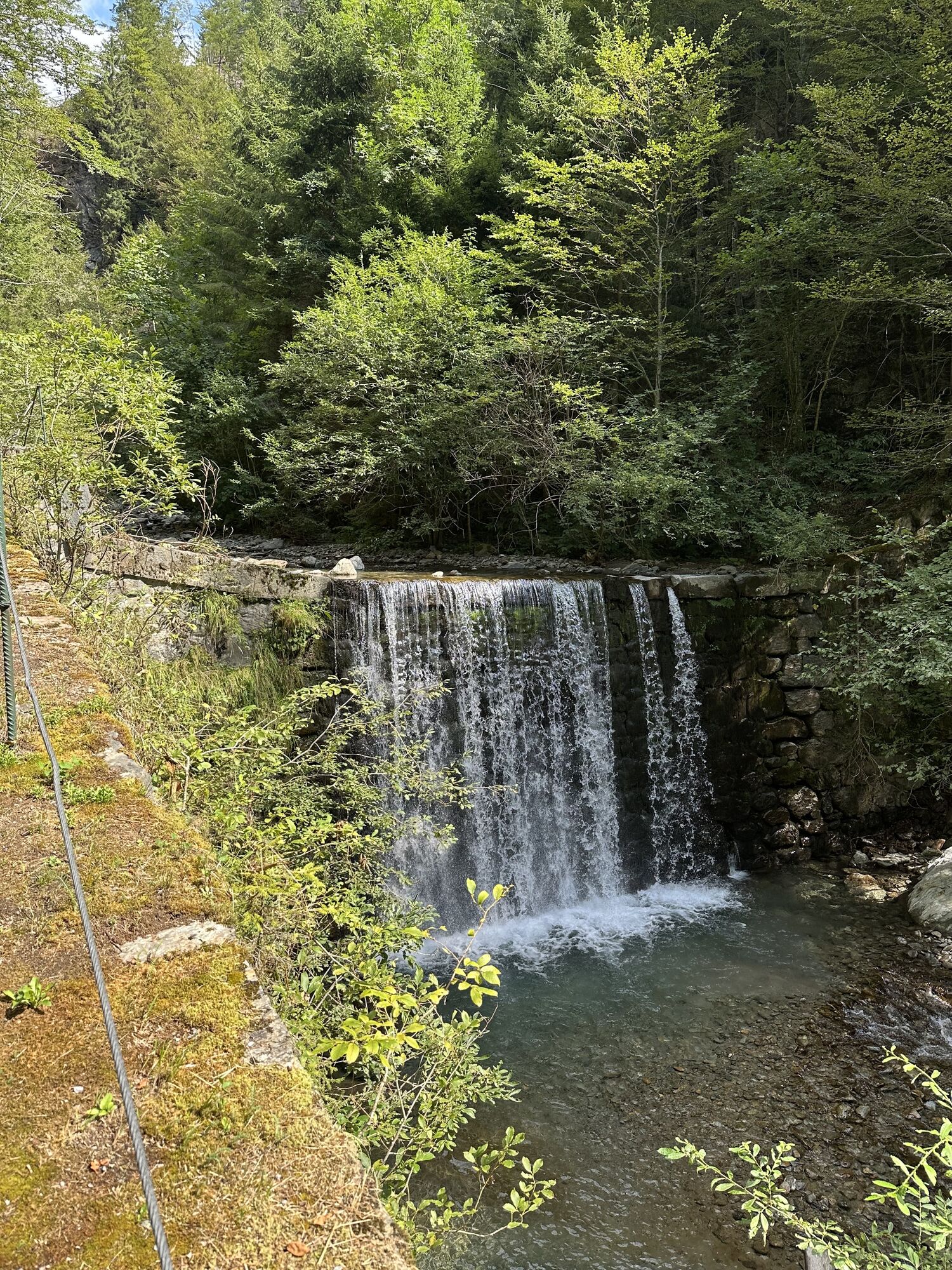
A truly eventful hike is the route into the Gnoppnitzklamm. The roaring water of the small wild stream already provides an adventurous soundscape along the path. The many excellently designed experience stations show visitors the role water has always played in the life of the population: water as a habitat, water as an energy source, but also as a bringer of danger. An ideal experience hike for young and old.
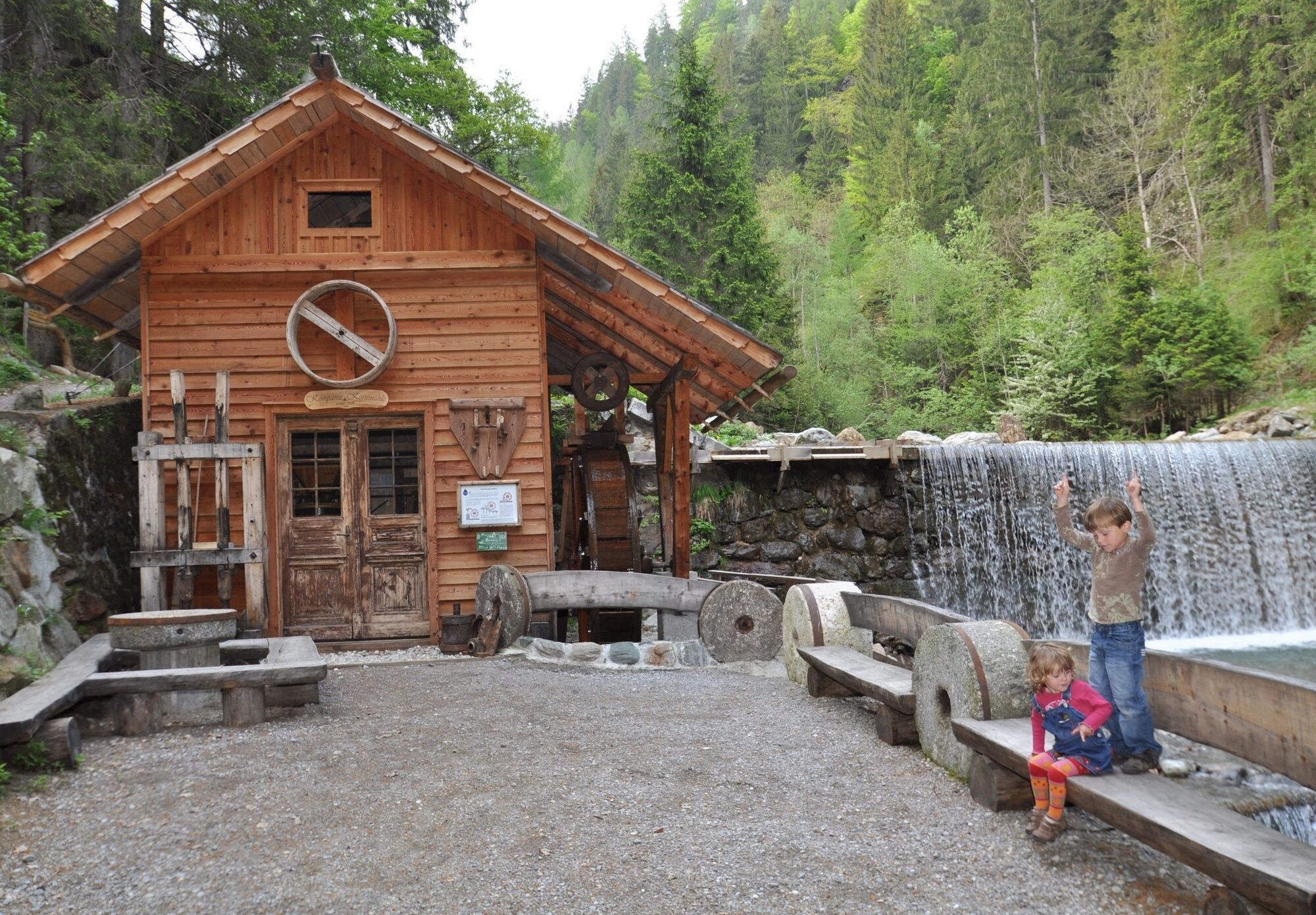
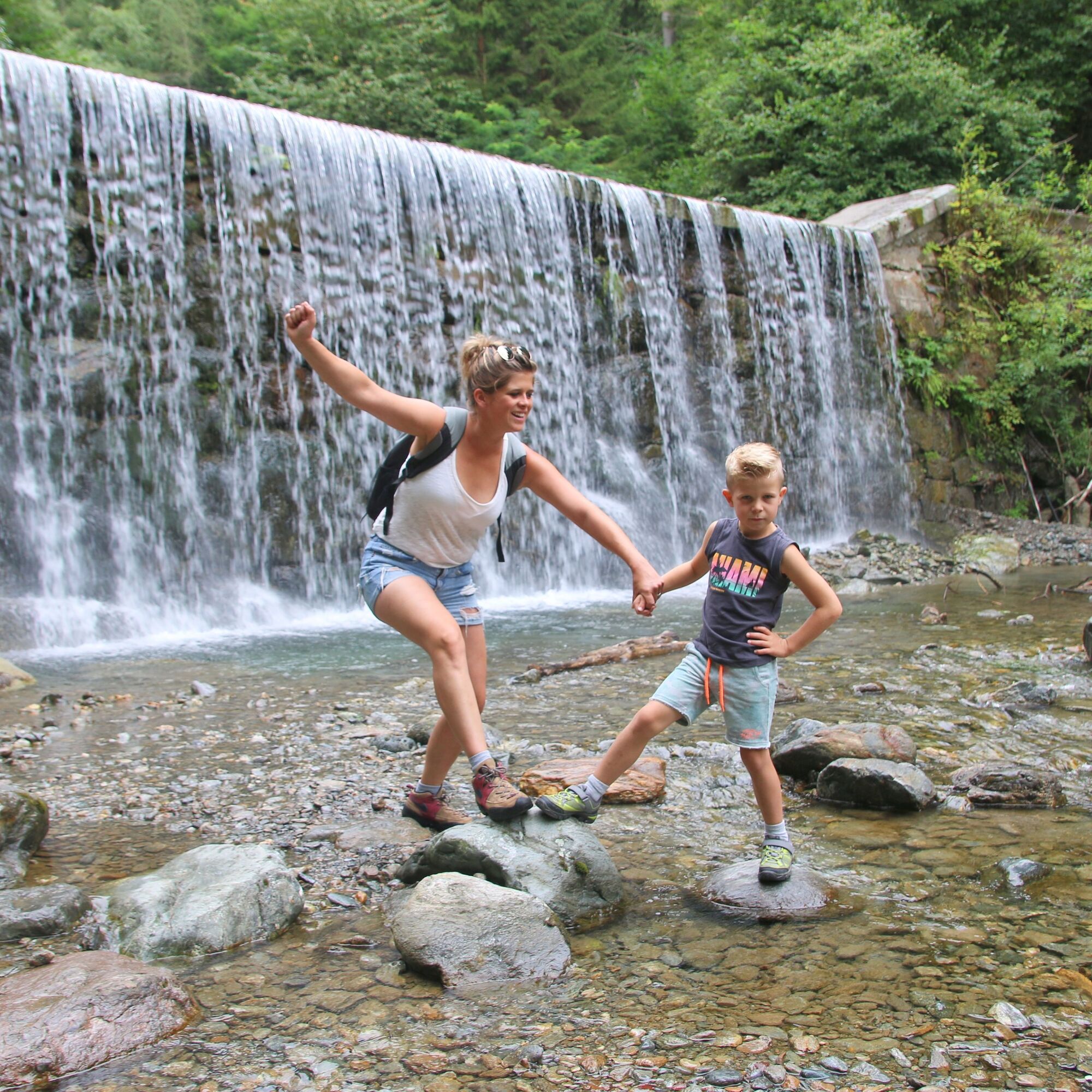
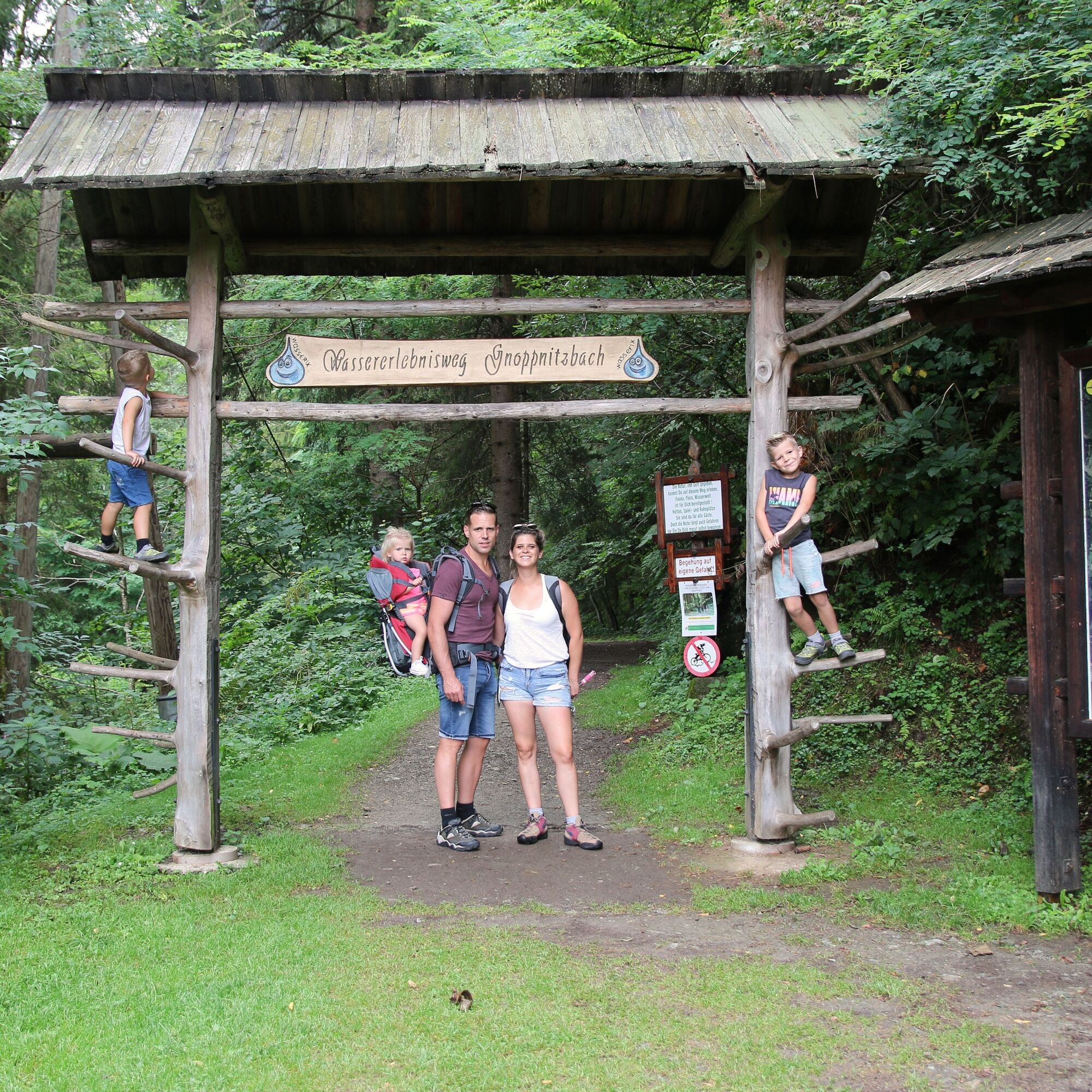

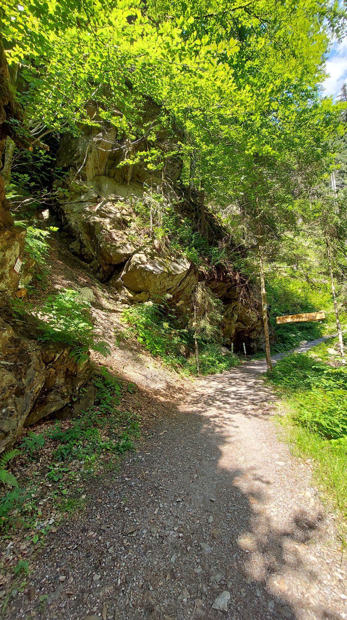
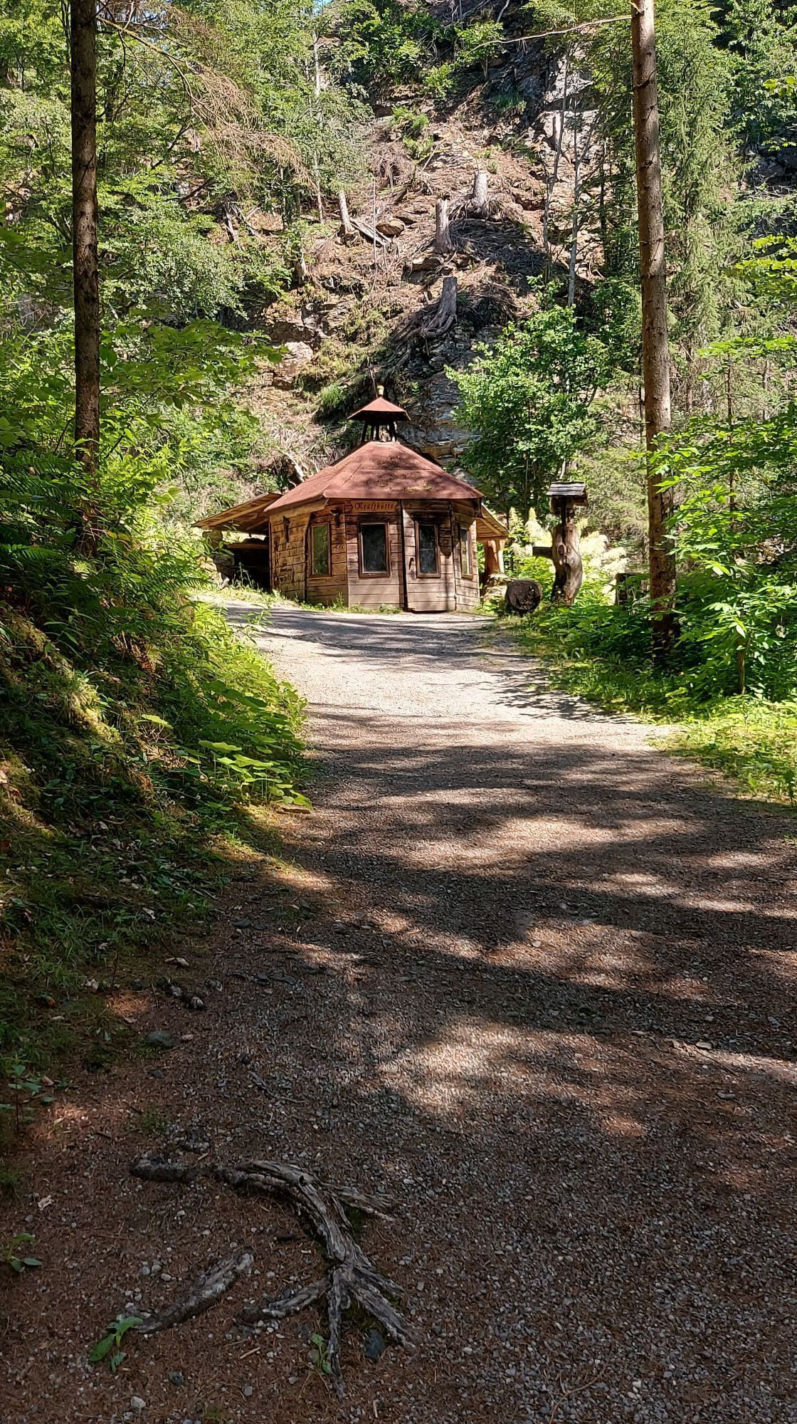
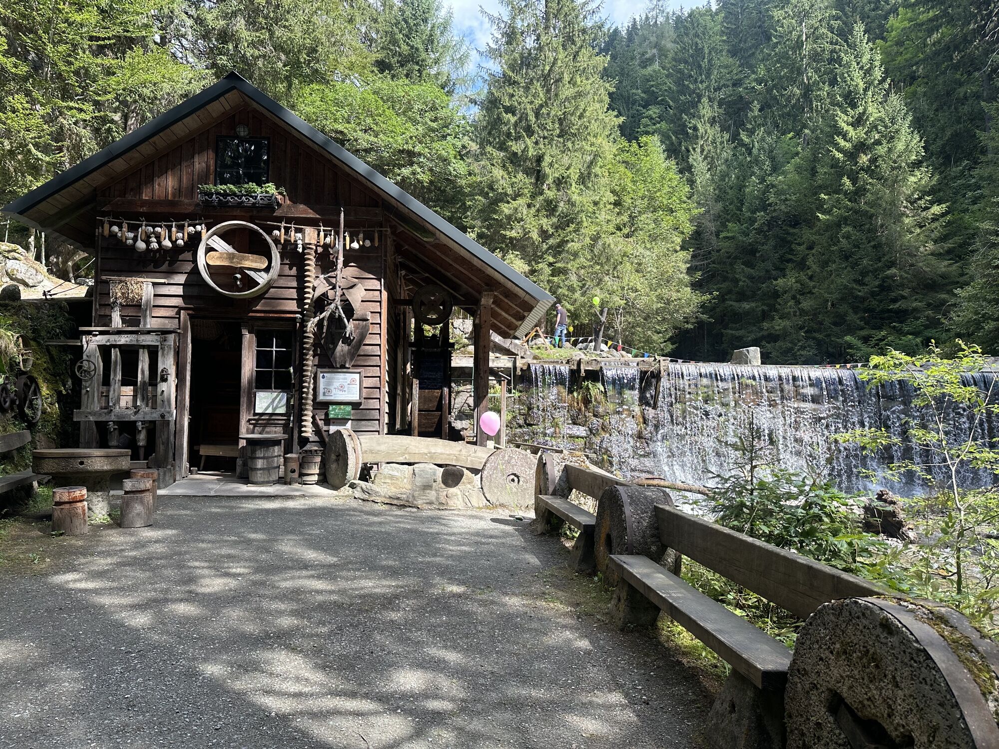
From the information point at the municipal office in Greifenburg, walk a few meters west along the B100 until you see the signpost "Greifenburger Wasserweg" after the sports shop. Turn right and follow the further signs to the entrance of the water trail (additional parking is available here). A large wooden arch welcomes the hiker. For just over a kilometer, follow the course of the Gnoppnitzbach, past interesting display panels, barbecue areas, and Kneipp facilities to the Fuhrleitnhütte, accessible by stroller up to this point and especially suitable for families with small children. With small children, it is recommended to take the same route back to the starting point.
From the Fuhrleitnhütte, you can continue hiking further. There are 2 options: either to Mühlboden at about 980 meters above sea level and then via the Herregger farm and hiking trail G3 back to the valley (as indicated here) or the shorter variant to the rear Haselbödensteig and via the forest road back, which leads into the hiking trail G3.
Tak
Tak
Tak
Sturdy footwear, and on hot days also swimwear.
Via the B100 to Greifenburg to the municipal office.
By train and bus to Greifenburg
Free parking at the municipal office Greifenburg.
There is the possibility to grill sausages!

Kamery internetowe z trasy
-
Embergeralm - Almgasthof Fichtenheim
-
Embergeralm - Almgasthof Fichtenheim
-
Greifenburg Badesee
-
Golfplatz Berg im Drautal
-
Berg im Drautal - Hotel Glocknerhof
-
Berg im Drautal - Hotel Glocknerhof
-
Berg im Drautal - Hotel Glocknerhof
-
Berg im Drautal - Hotel Glocknerhof
-
Berg im Drautal - Hotel Glocknerhof
-
Berg im Drautal - Hotel Glocknerhof
-
Berg im Drautal - Hotel Glocknerhof
-
Berg im Drautal - Hotel Glocknerhof
-
Café Hassler
-
Emberger Alm
-
Emberger Alm
Uzyskaj wgląd
Zawsze na żywo z ponad 9 500 kamer internetowych. bergfex Jako użytkownik Pro, możesz teraz zobaczyć odpowiednie kamery internetowe dla wielu wycieczek w aplikacji wycieczki od. Pozwala to na bezpośredni podgląd aktualnych warunków.

Popularne wycieczki w okolicy
-
4,7
W5 - Naggler Alm Round Weissensee
średniMountainbike 15,8 km -
4,9
Weissensee Ost- nach Westufer
światłoWędrówka 10,2 km -
4,8
Drau Cycle Path R1
światłoJazda na rowerze 75,9 km -
4,4
WY_W2 hike to the Alm behind the Brunn
średniWędrówka zimą 3,04 km -
4,2
Emberger Alm - Hochtristen
średniWędrówka 9,50 km -
4,8
Weiße Wand - Alm hinterm Brunn
Mountainbike 22,1 km -
4,3
The Glockner cycle route R8
ciężkiJazda na rowerze 123,5 km -
4,7
Teuchlspitz
średniWędrówka 10,8 km -
4,8
Mühldorfer Alm - Kleiner Salzkofel
średniWędrówka 11,6 km -
4,8
RW_W4 Mittagsnock - Naggleralm - retour über Steig
średniWędrówka 10,6 km
Wędrówki i tropienie


Nie przegap ofert i inspiracji na następne wakacje
Twój adres e-mail została dodana do listy mailingowej.





