







W5 - Naggler Alm Round Weissensee

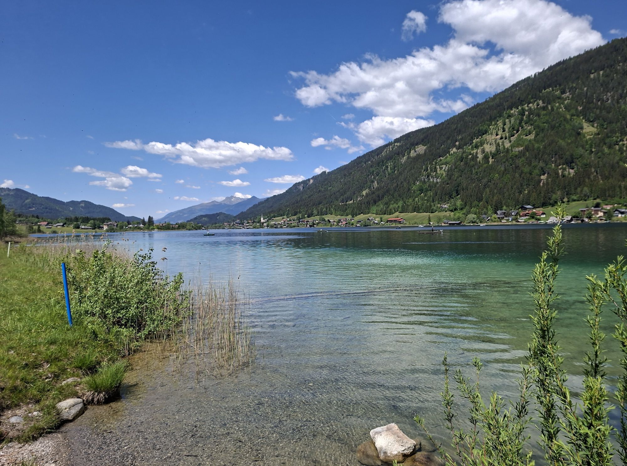

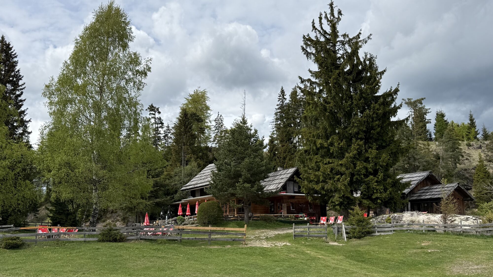
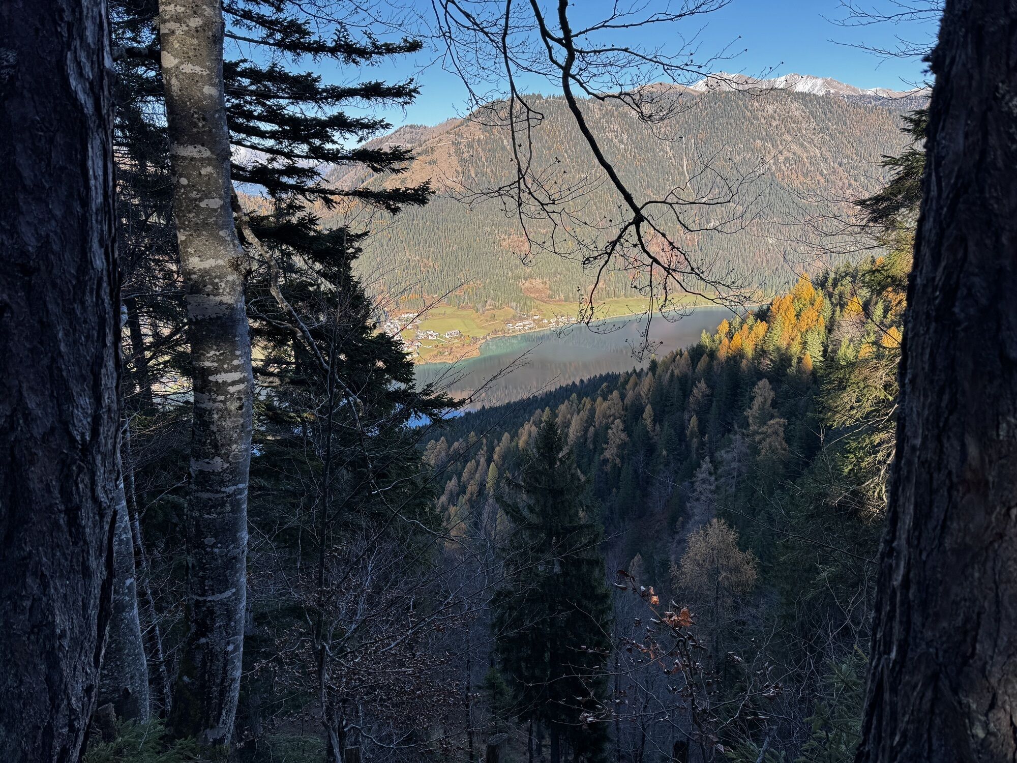
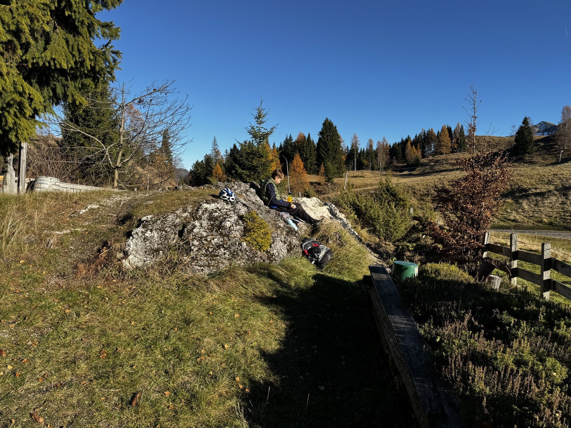
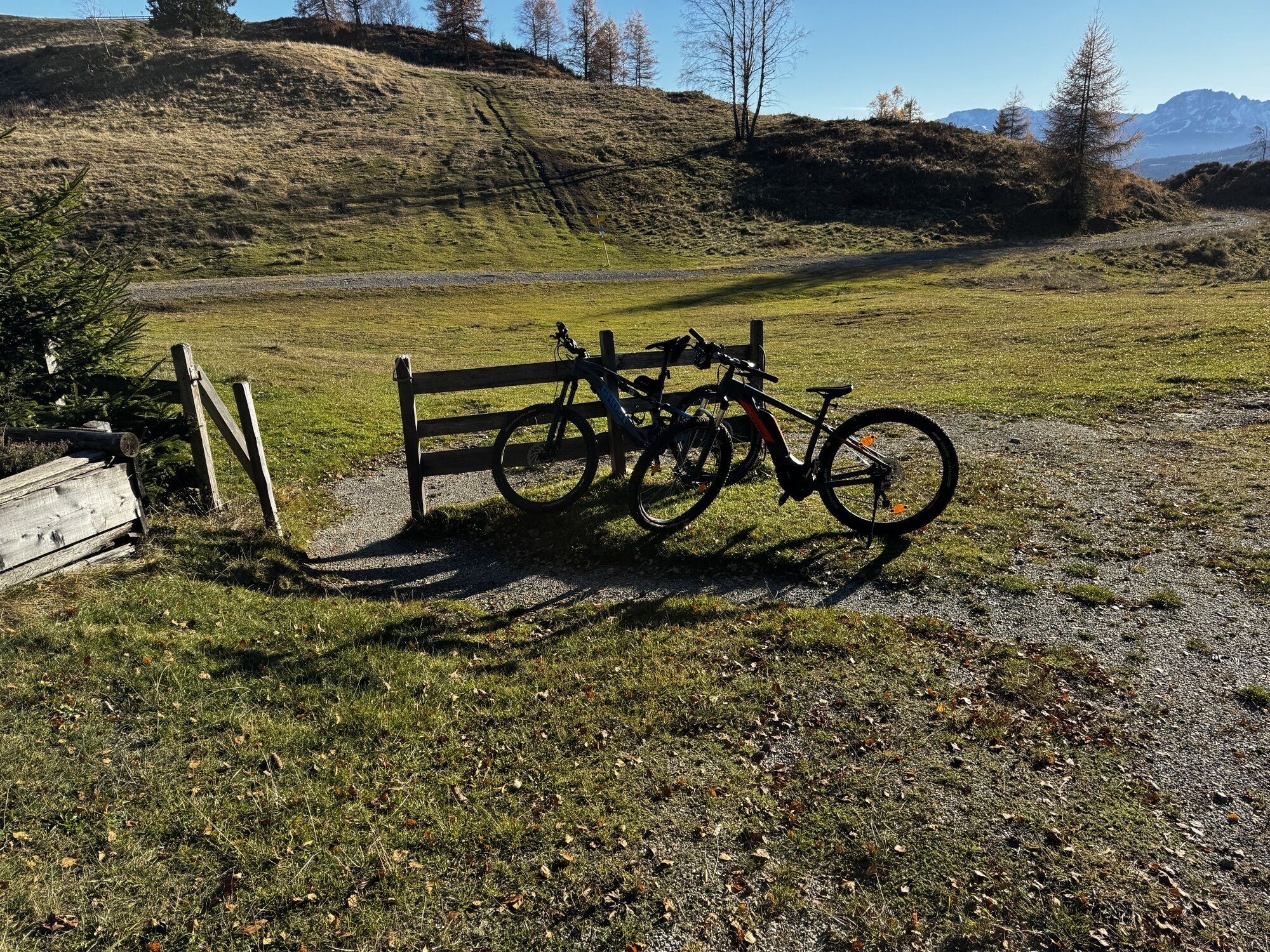
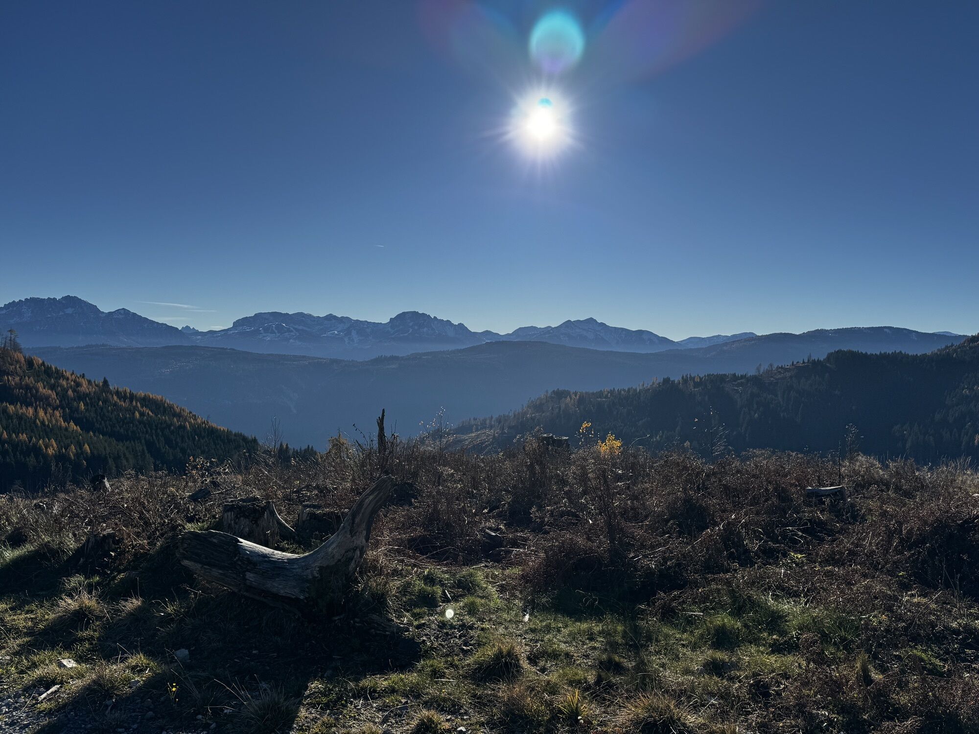
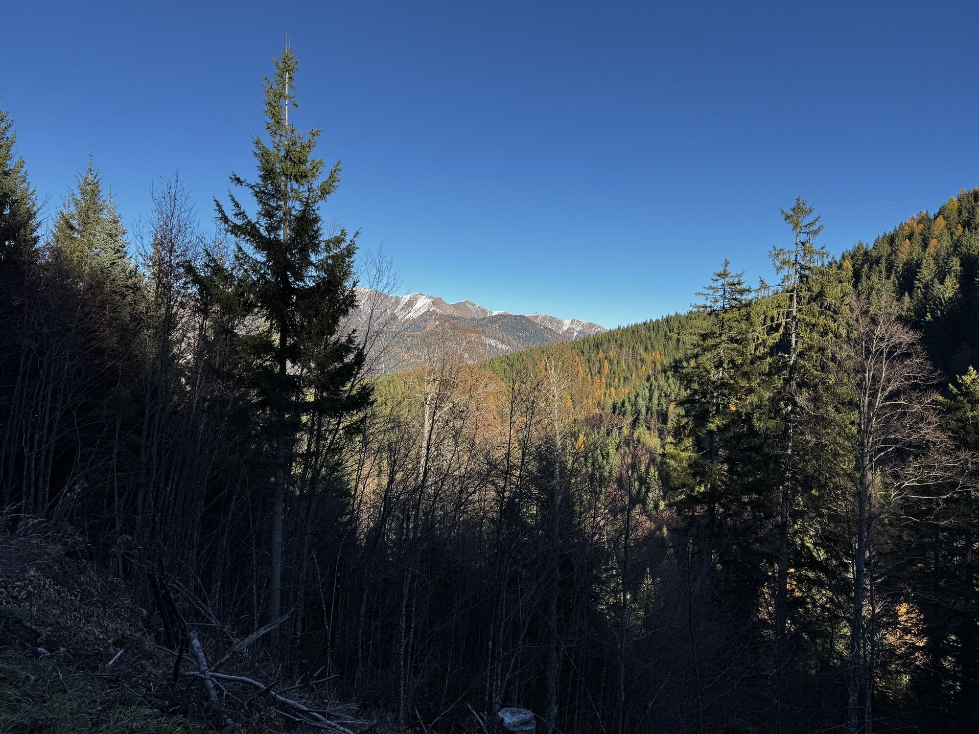
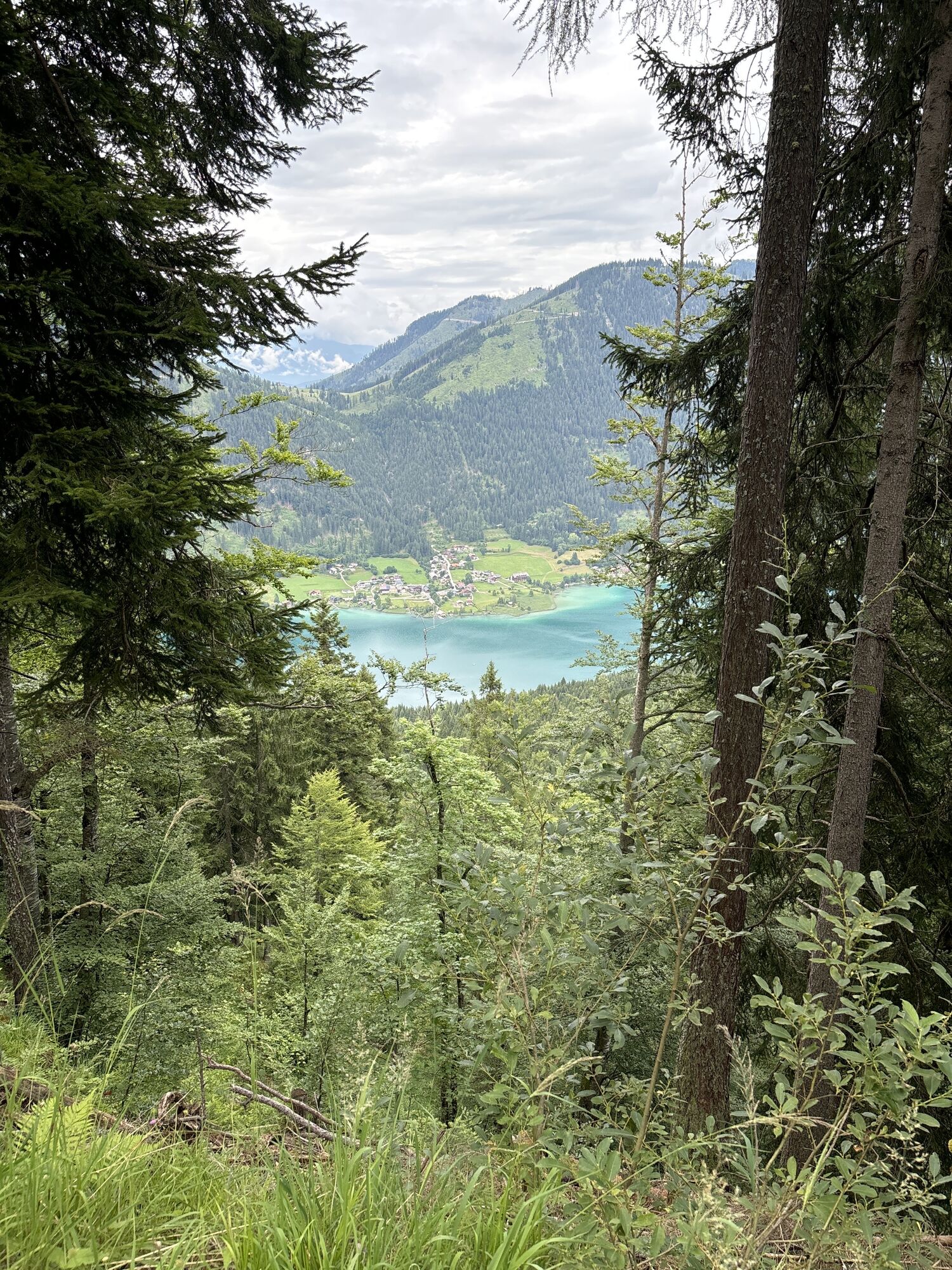
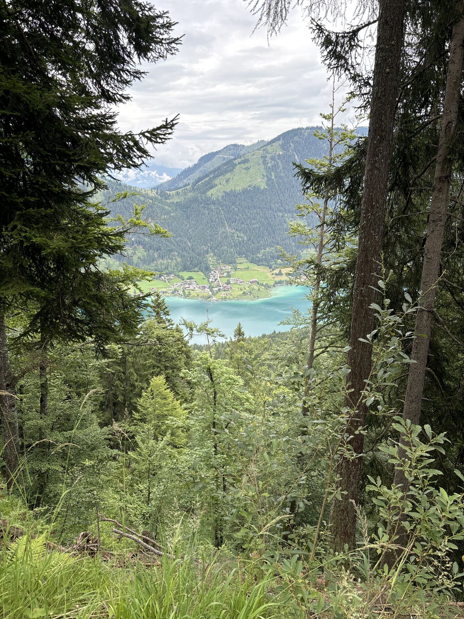
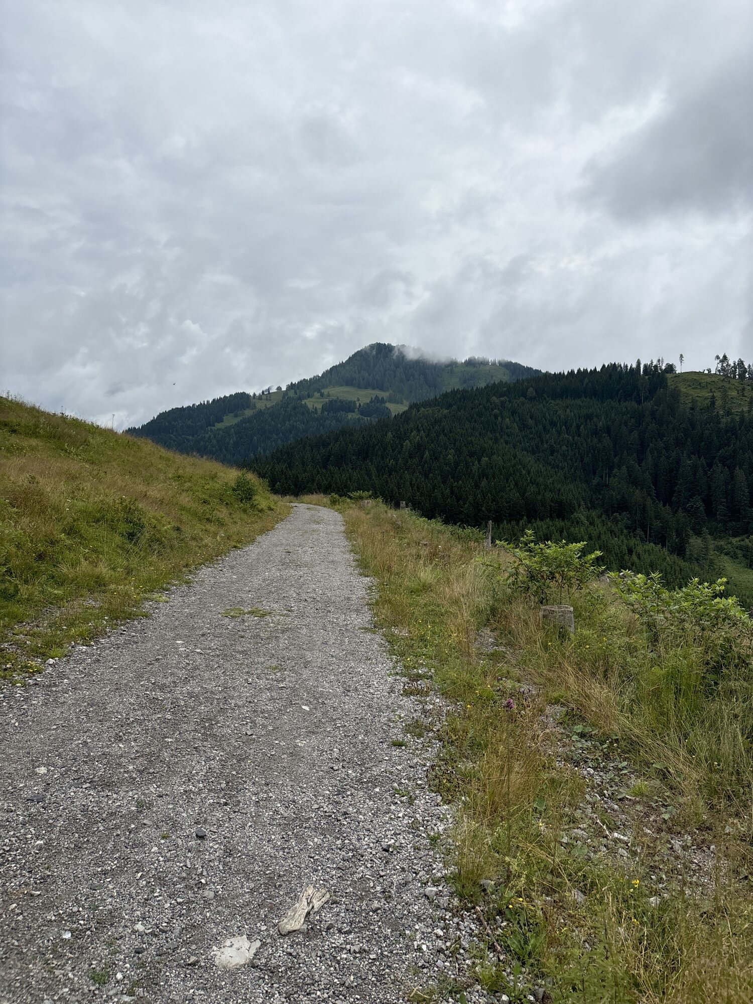
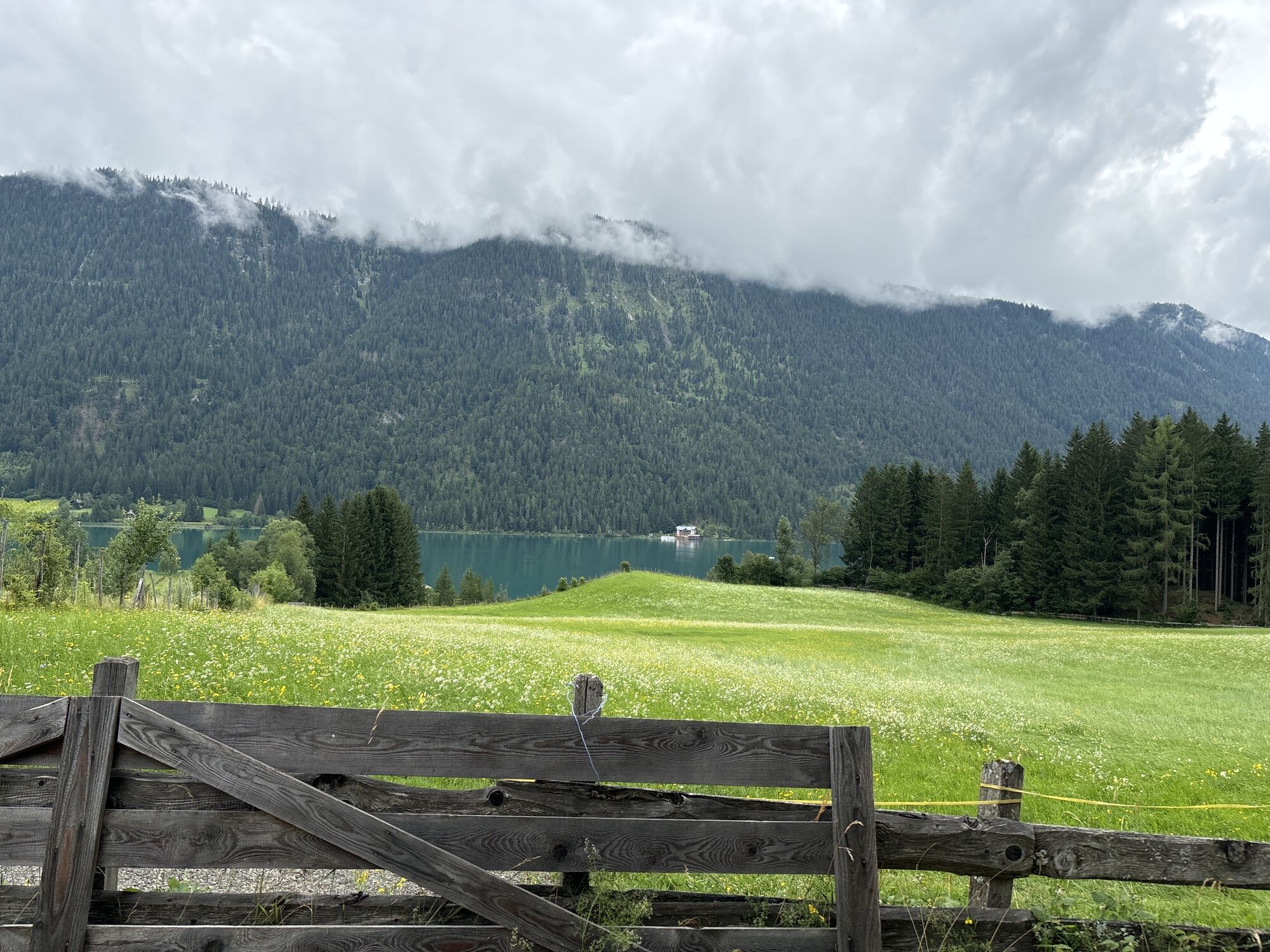
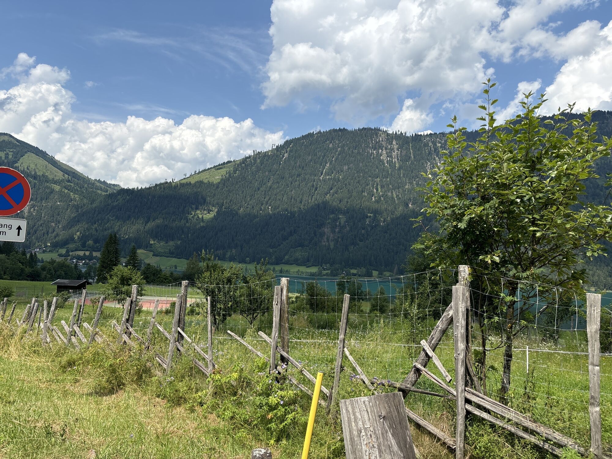
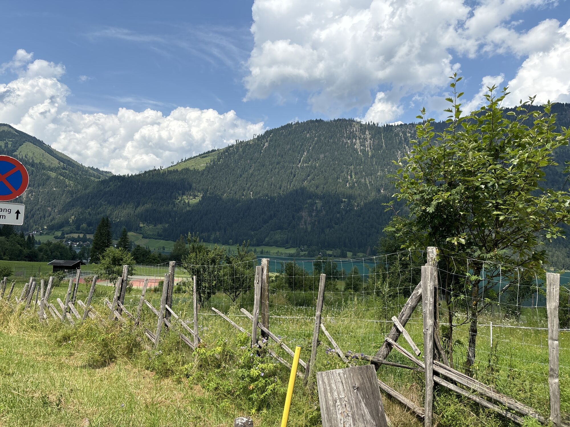
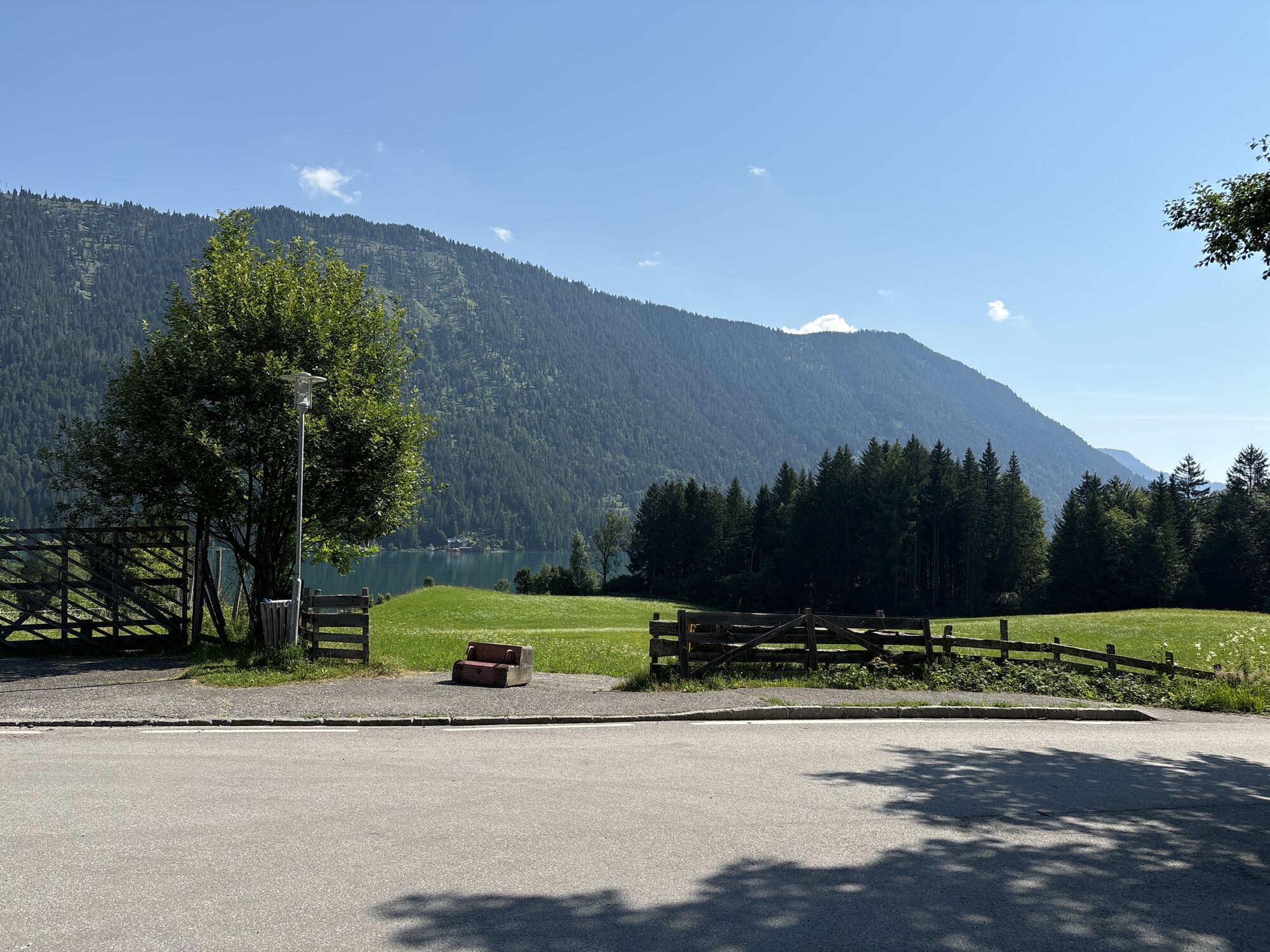
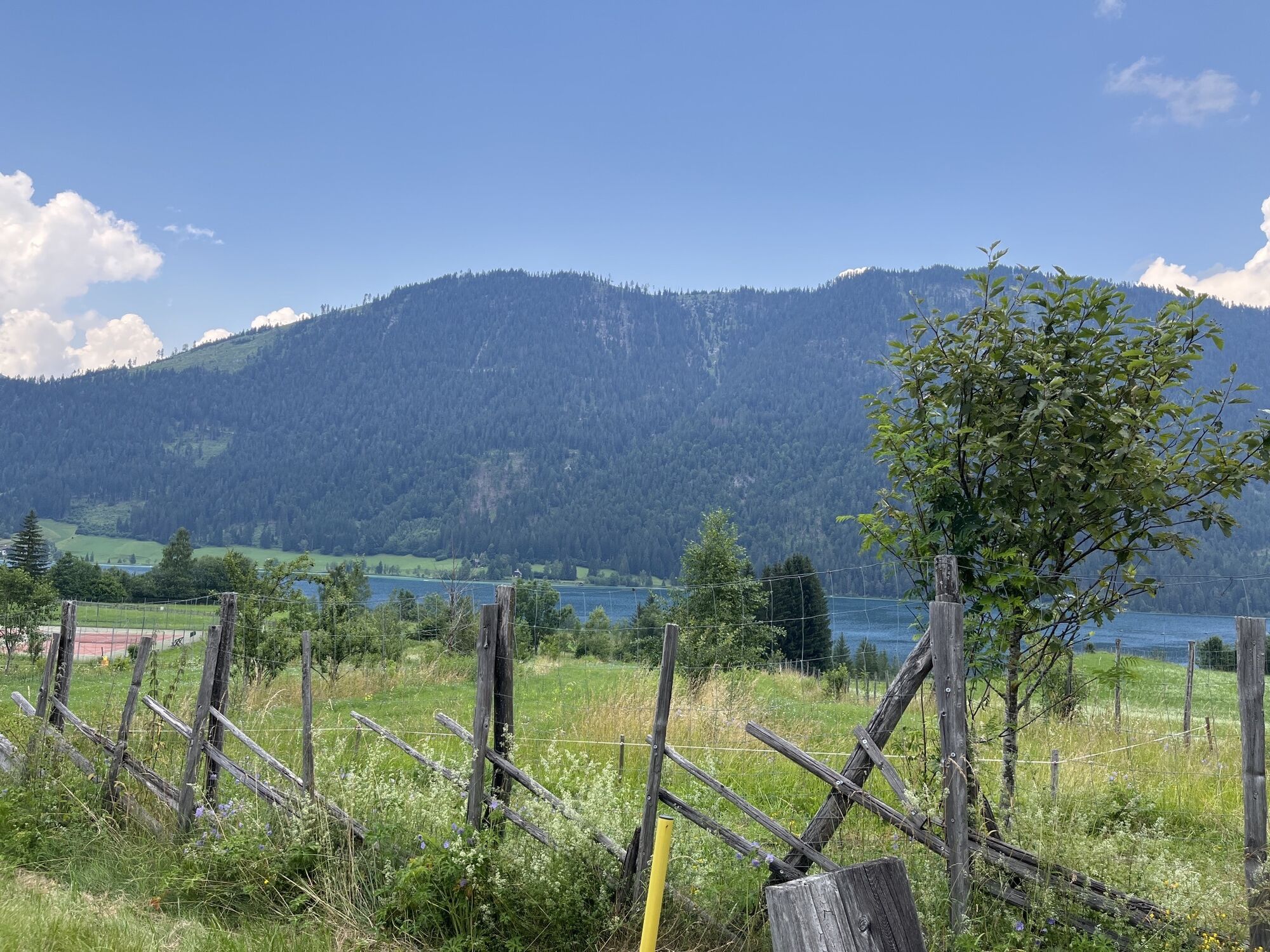
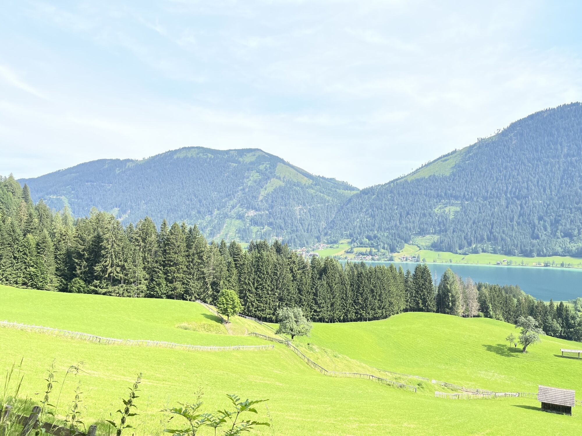
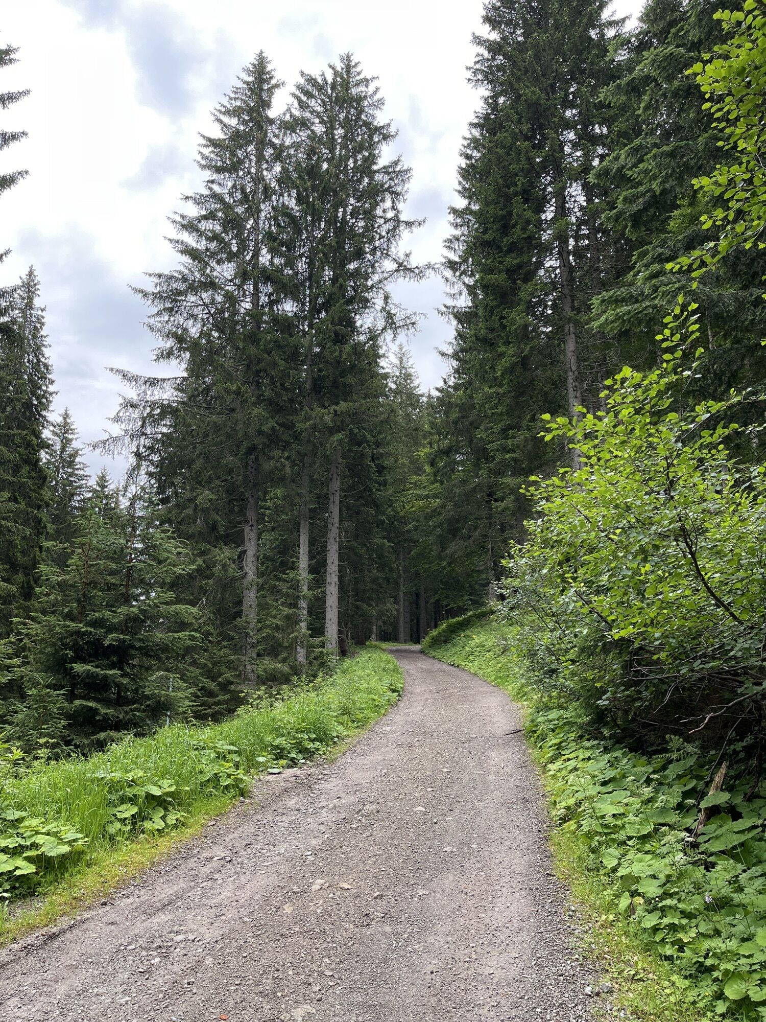
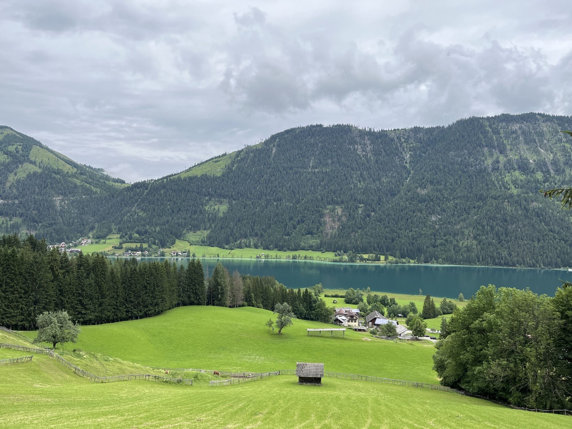
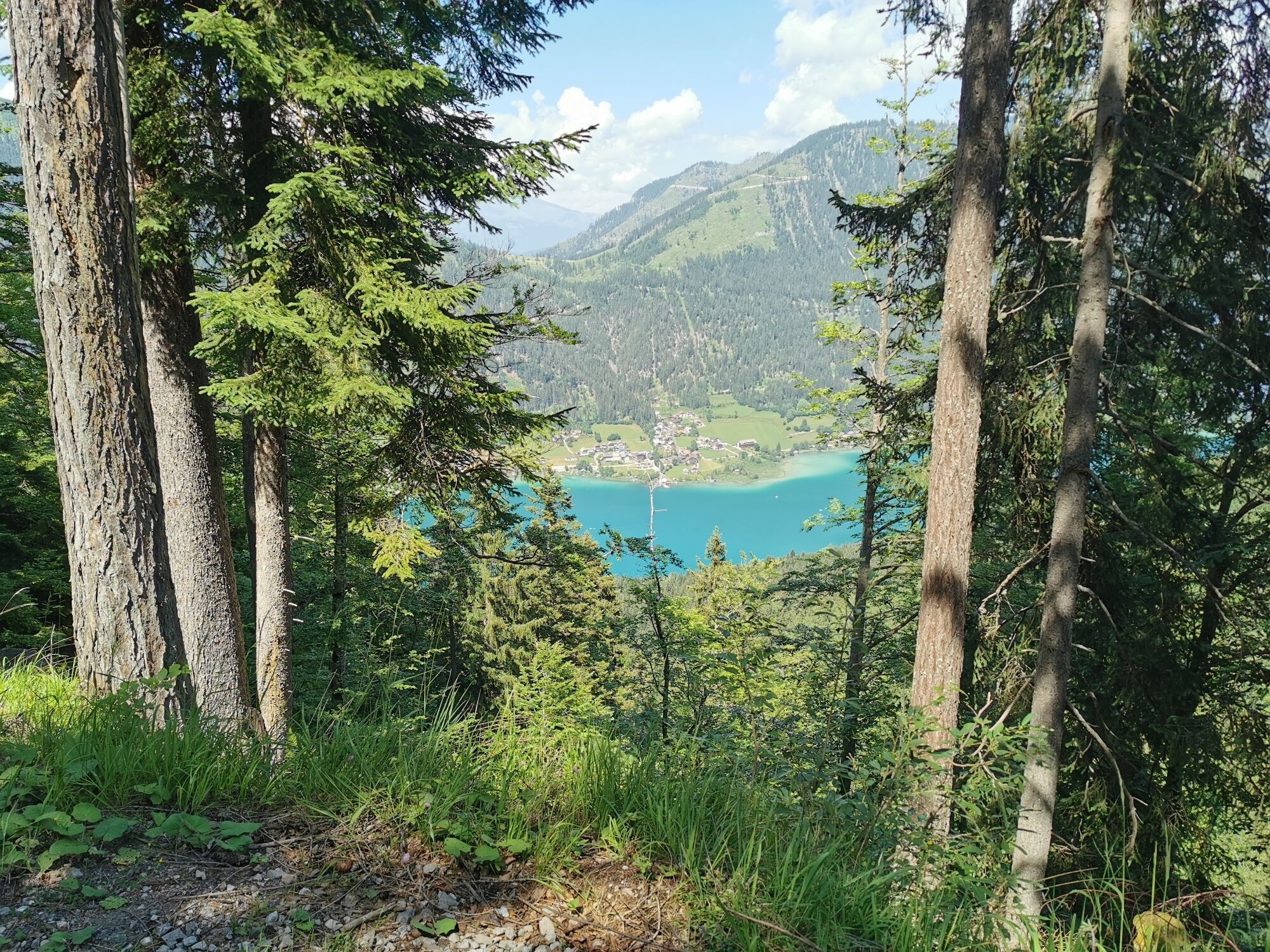
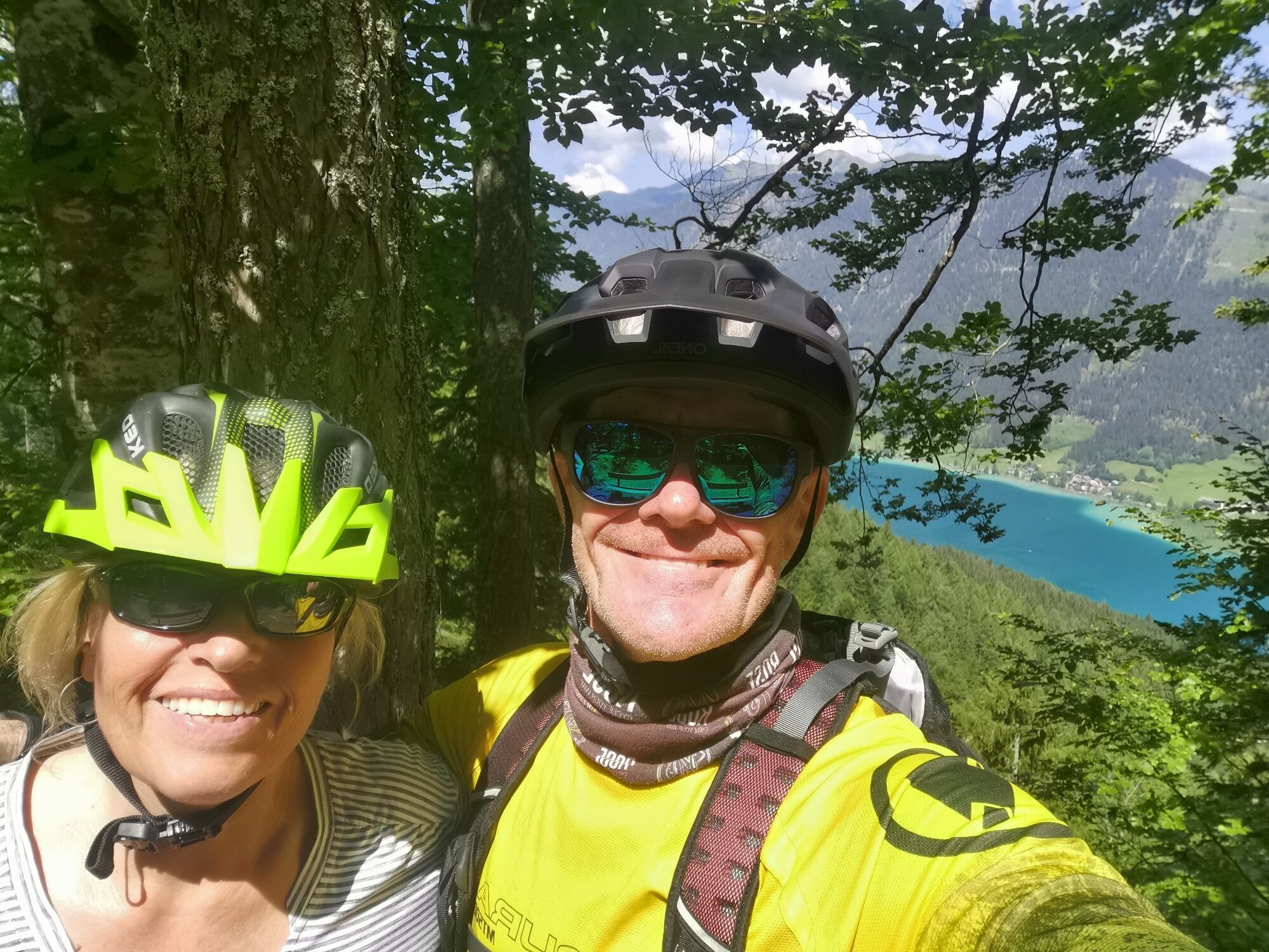
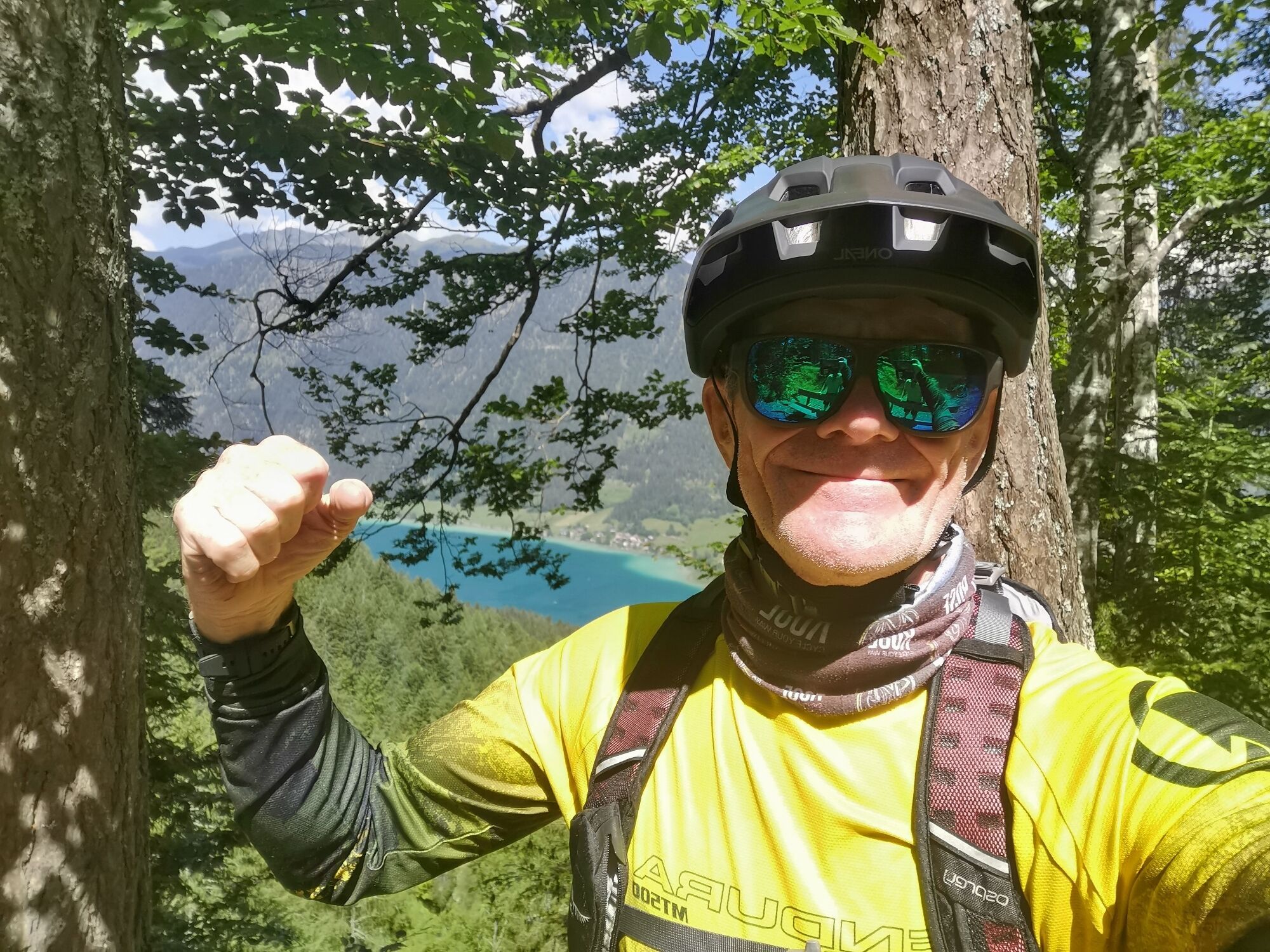
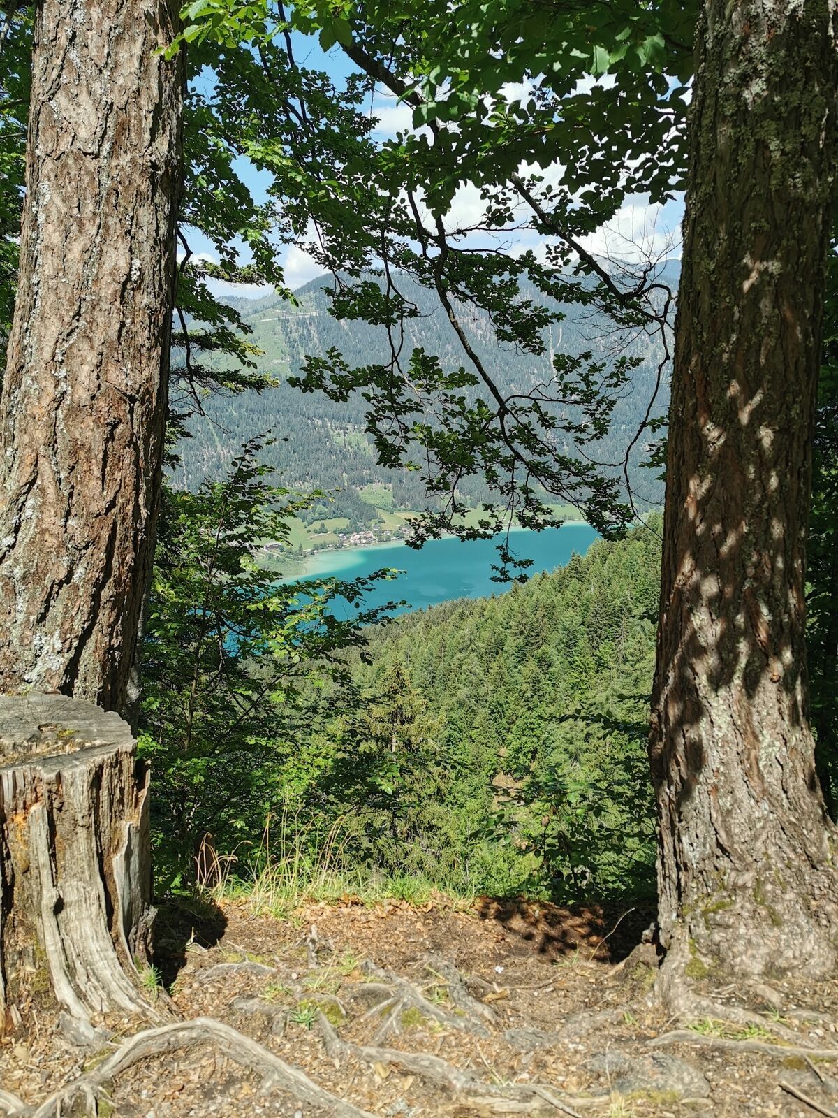
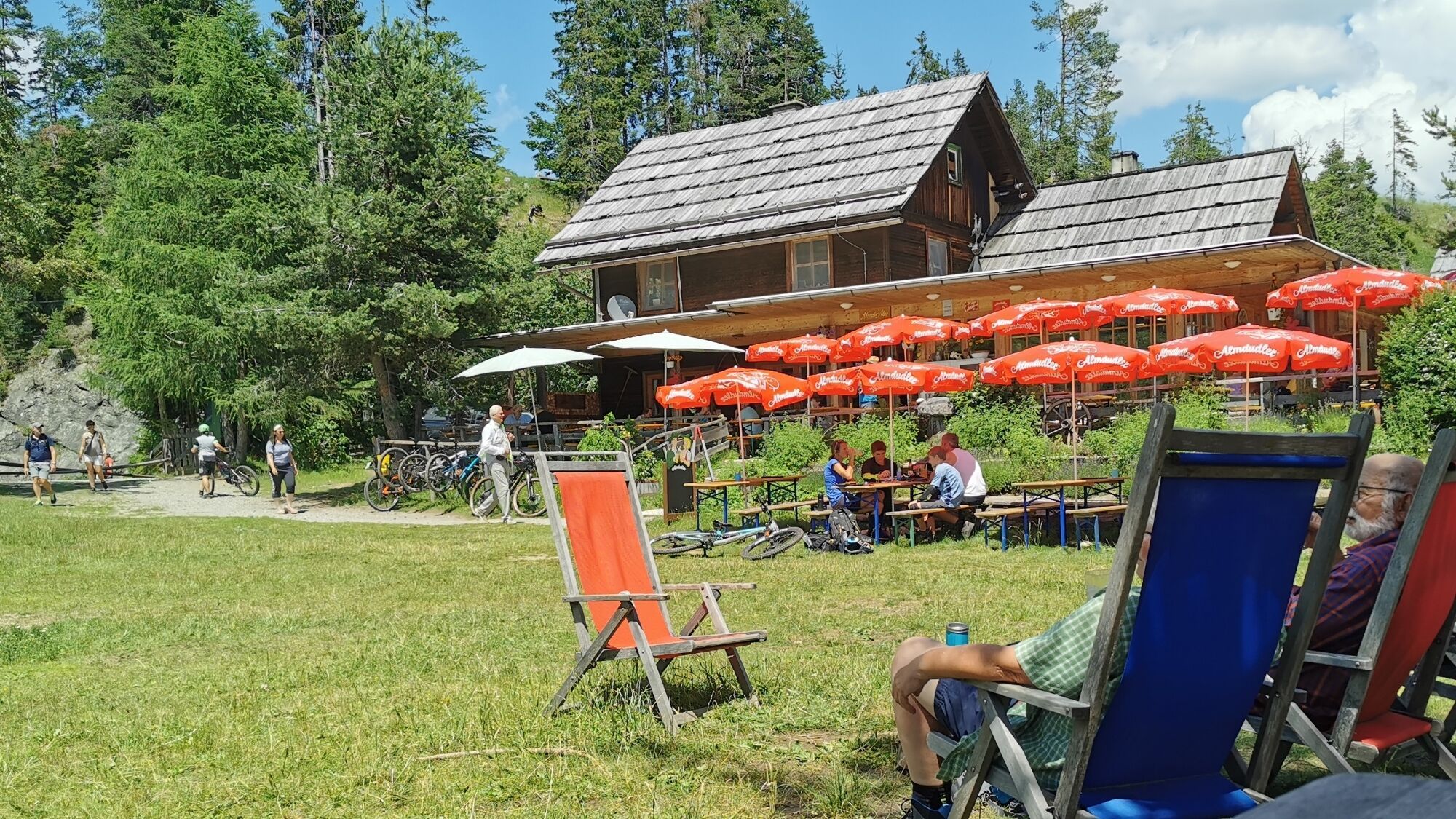
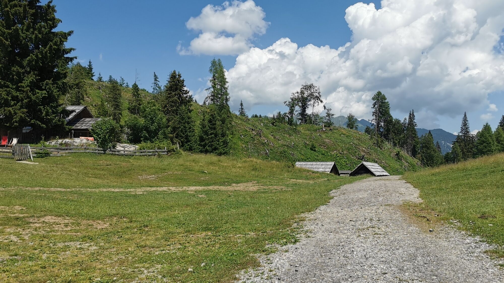
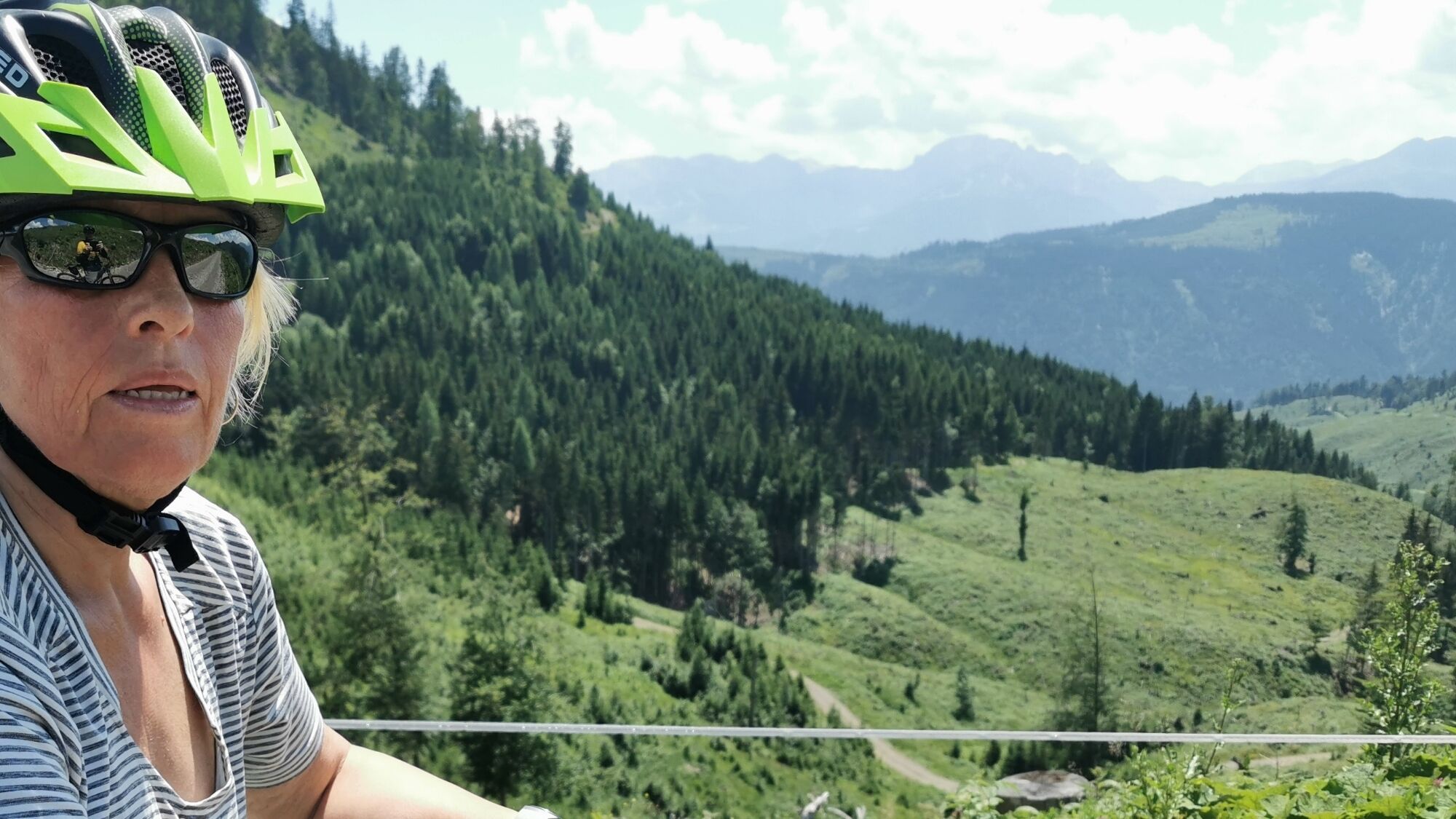
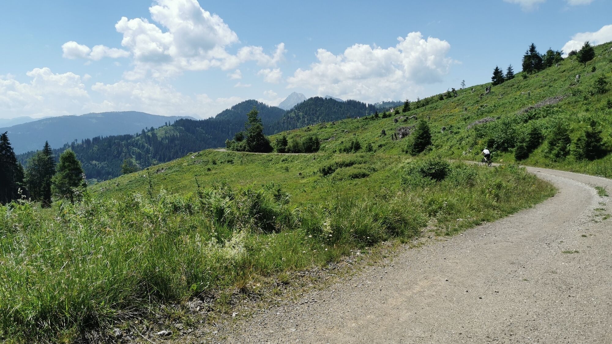
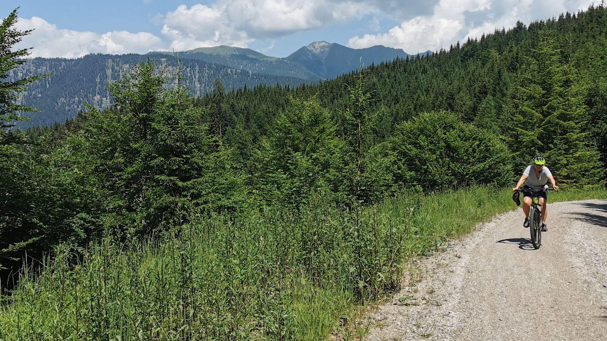
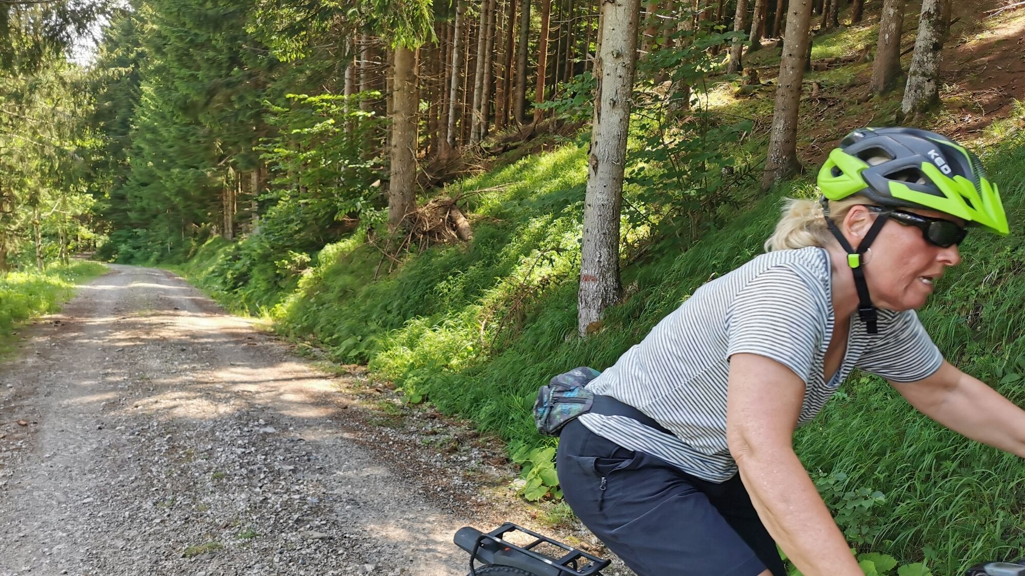
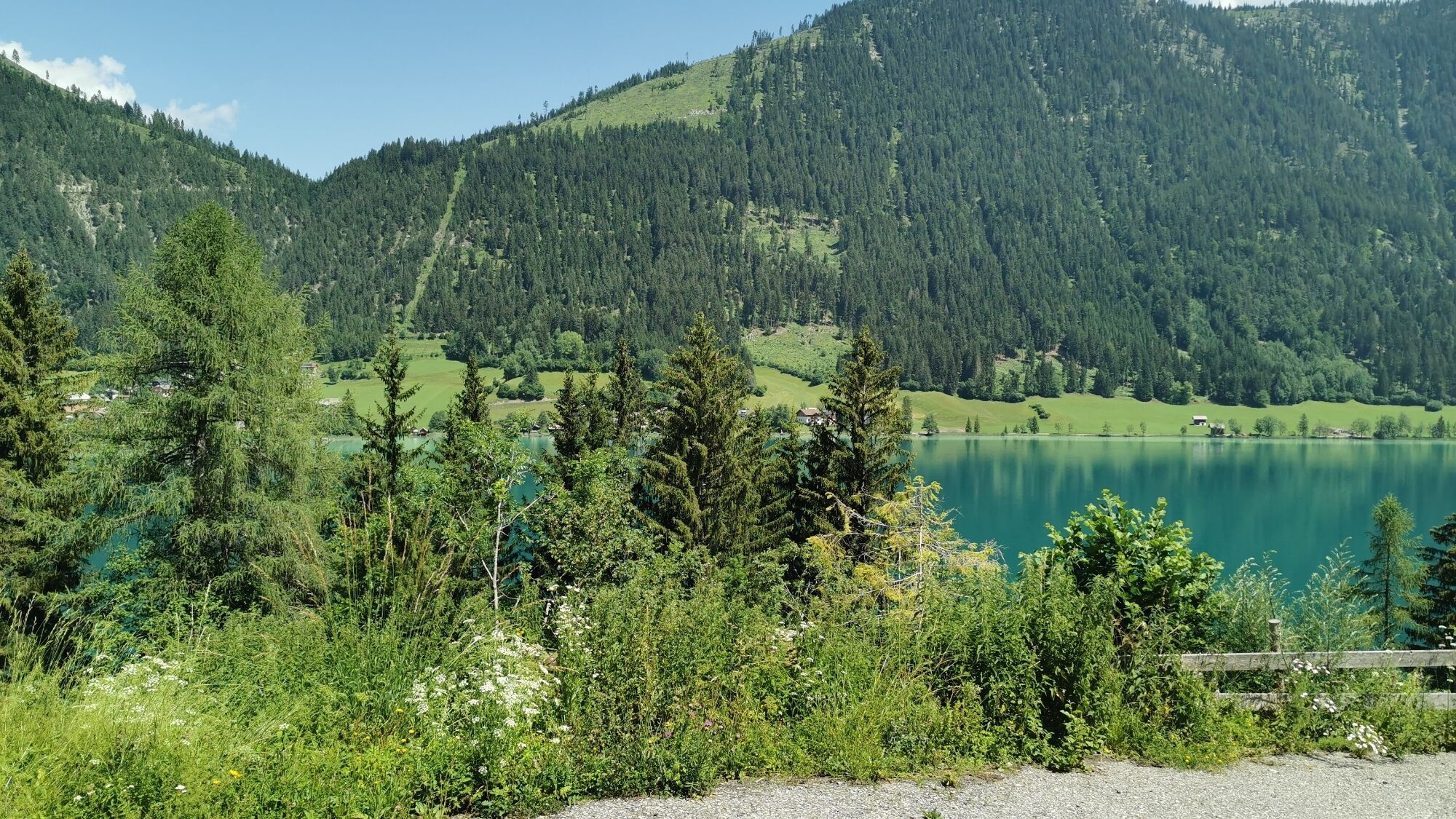
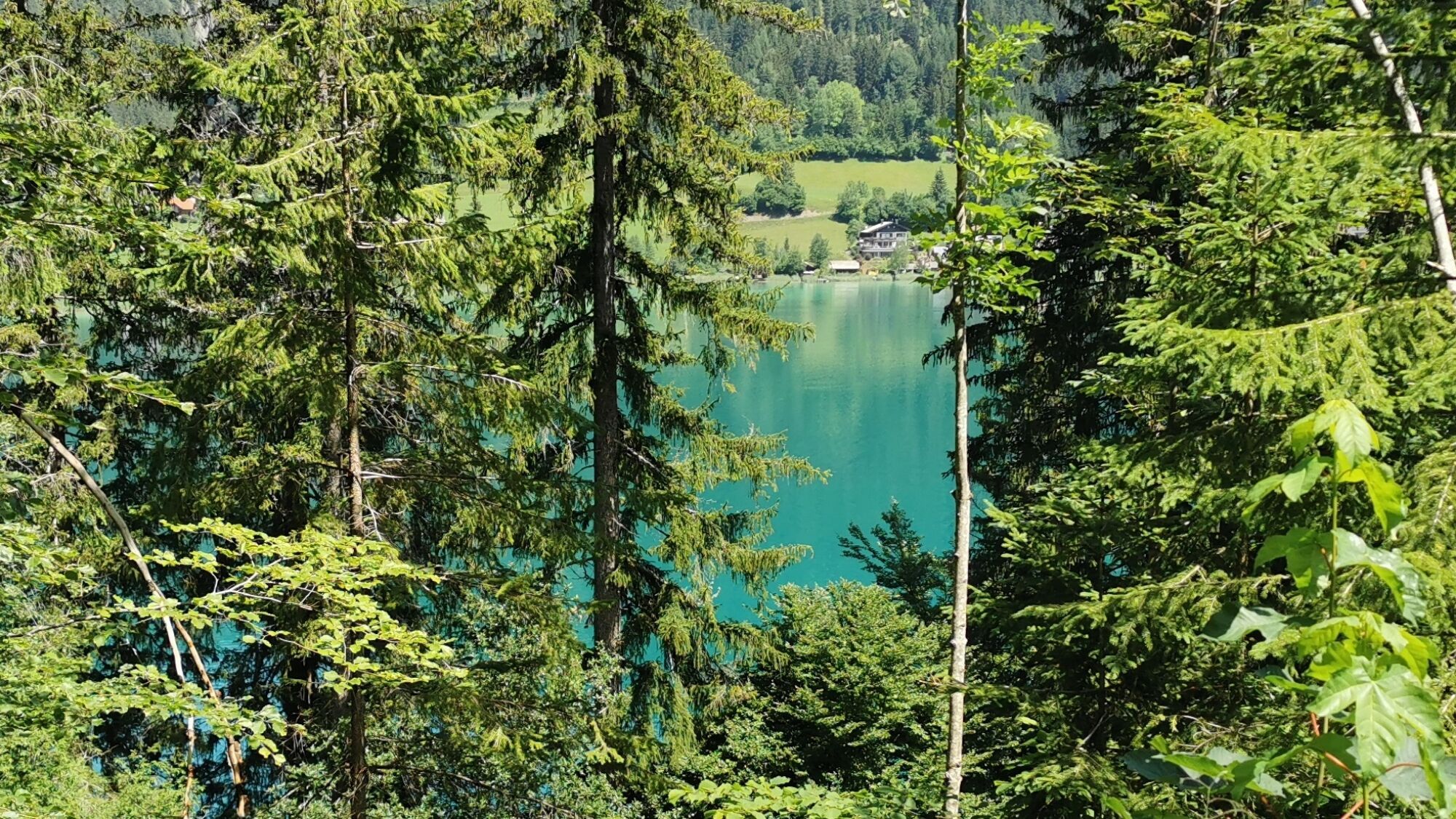
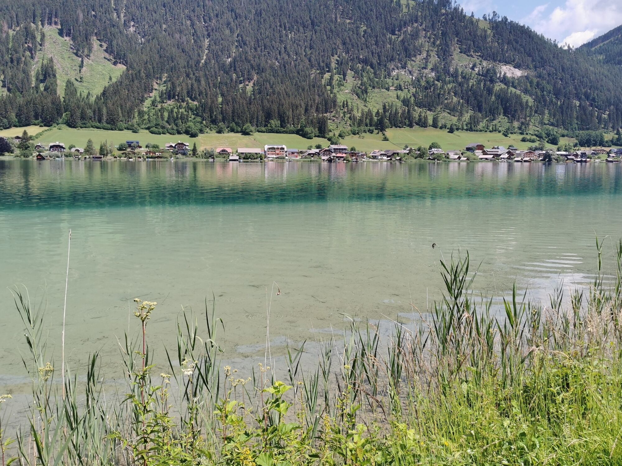
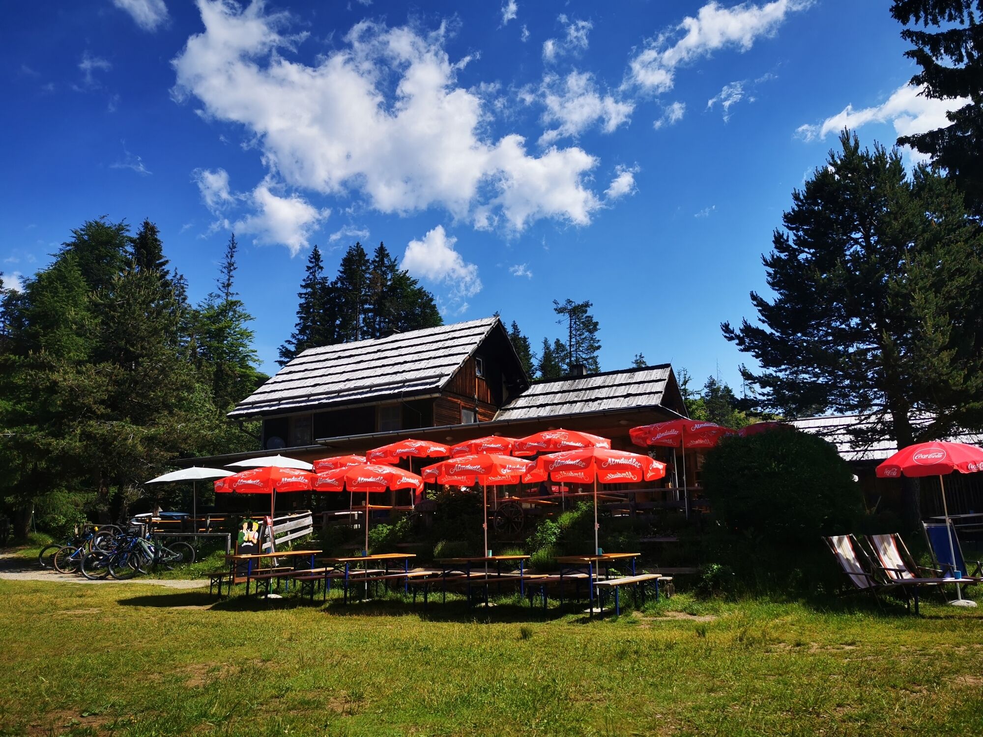
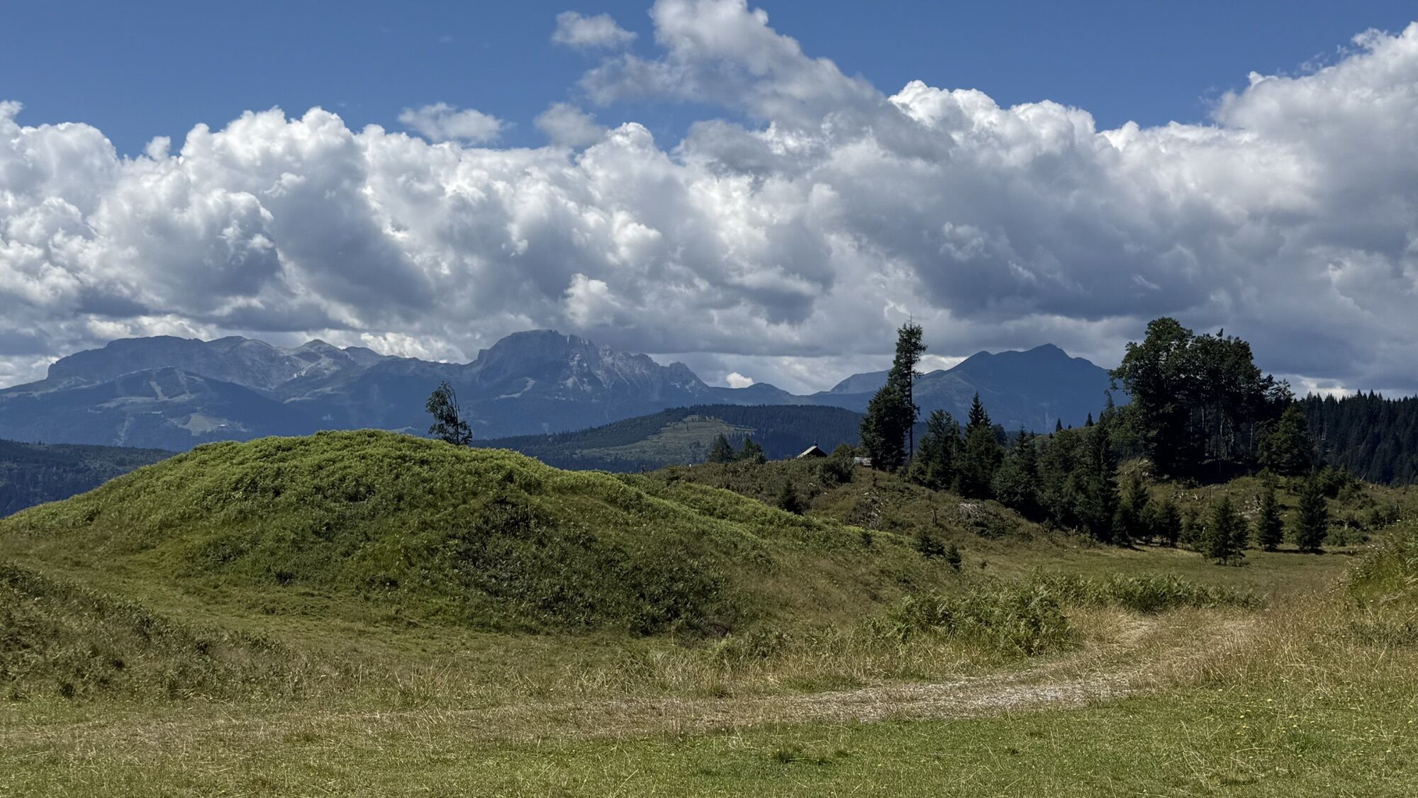
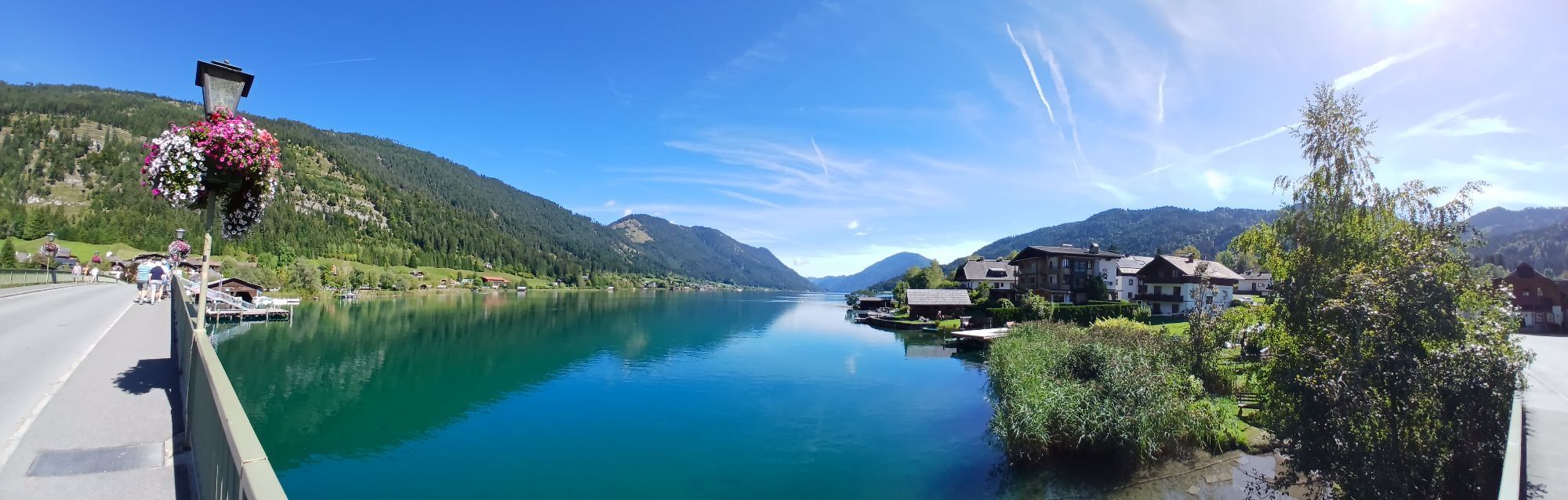
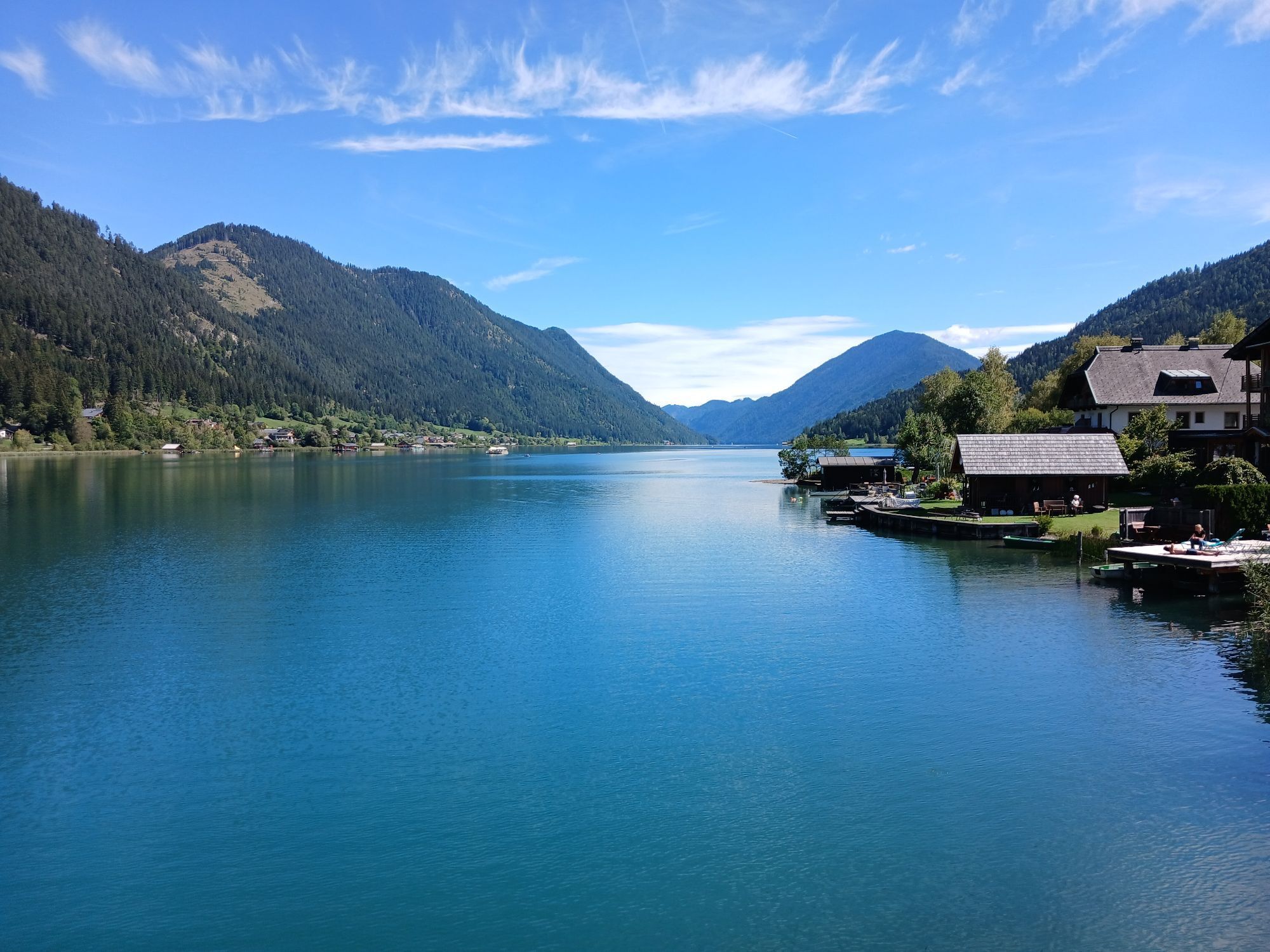
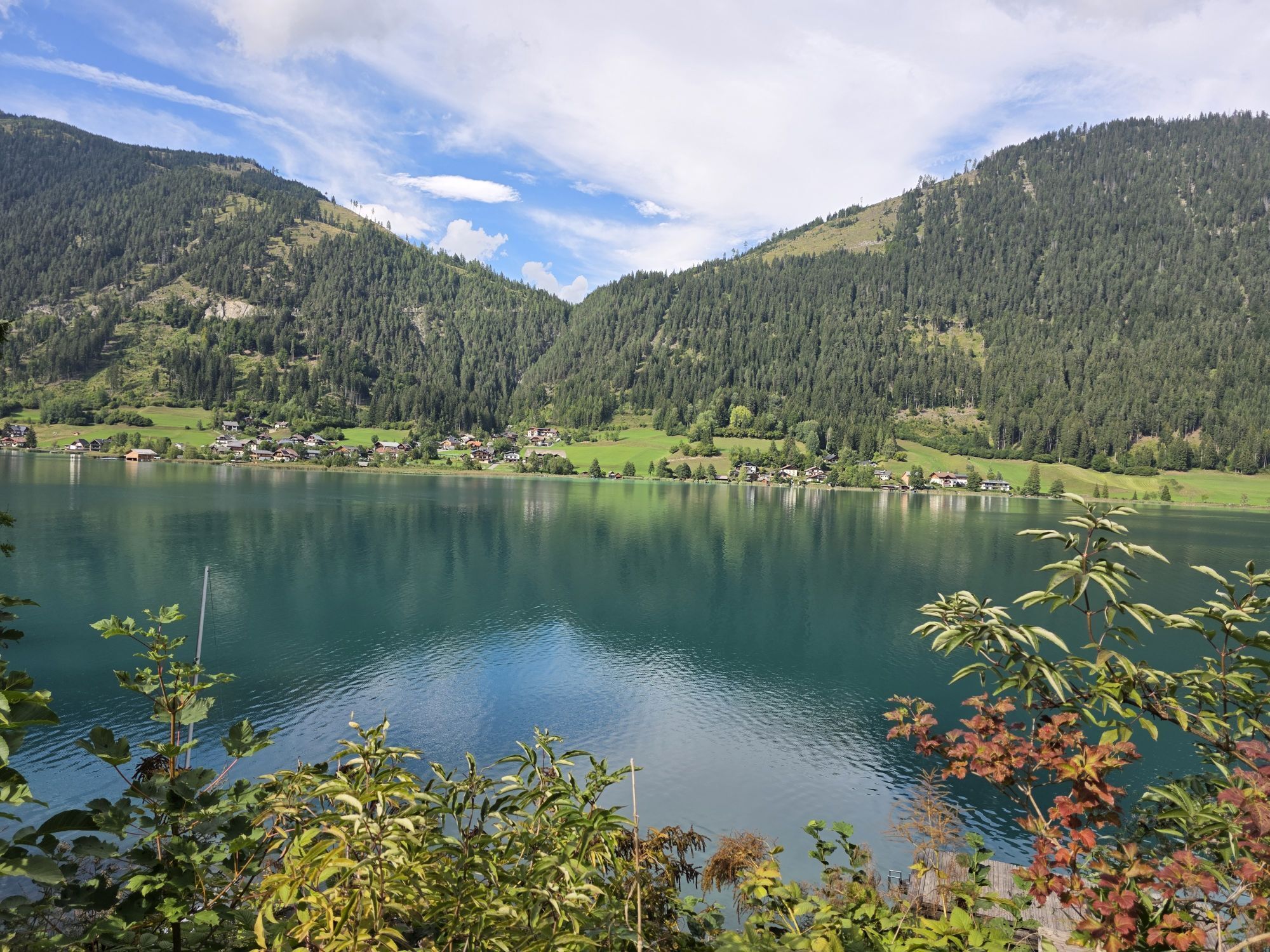
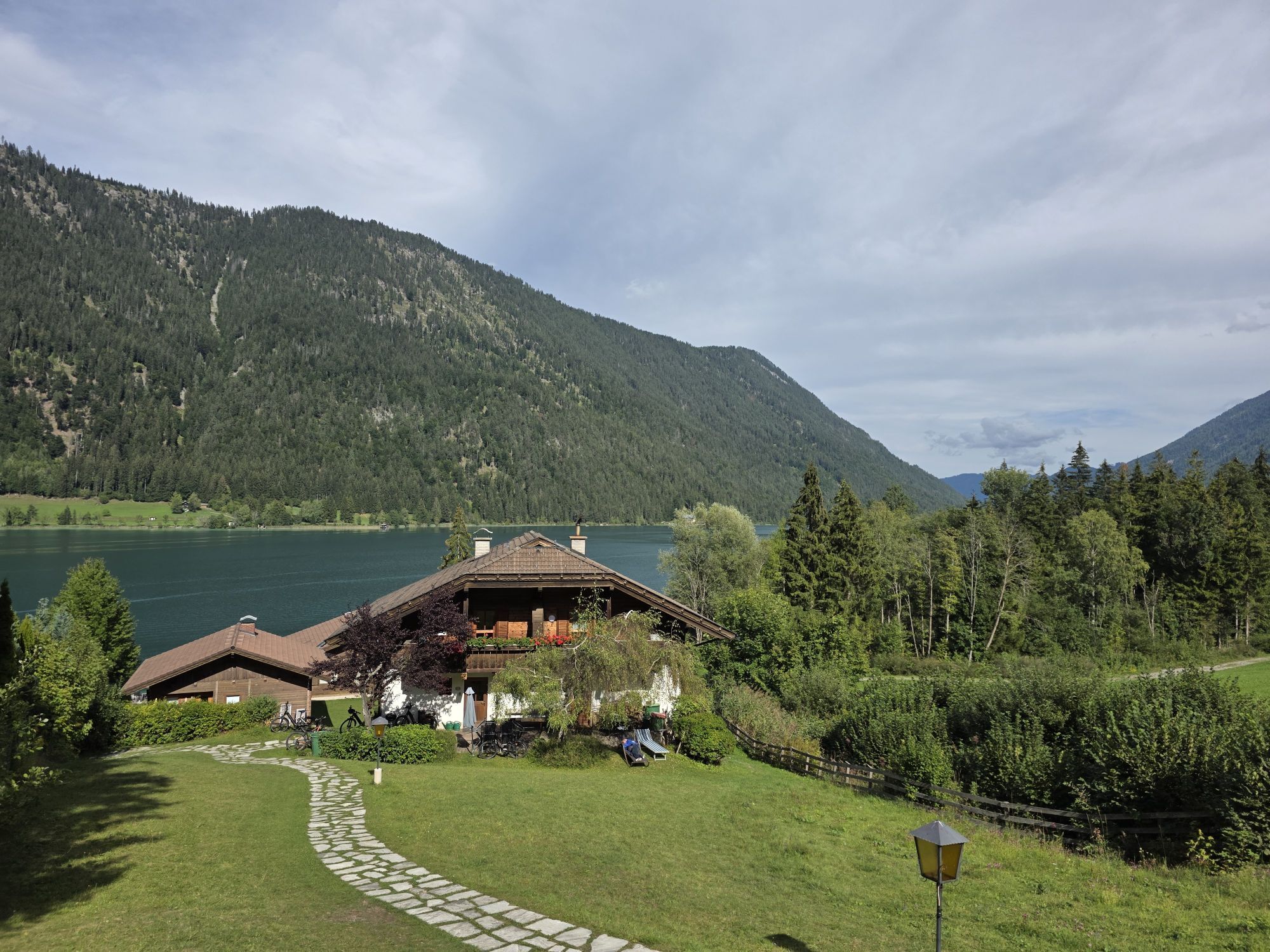
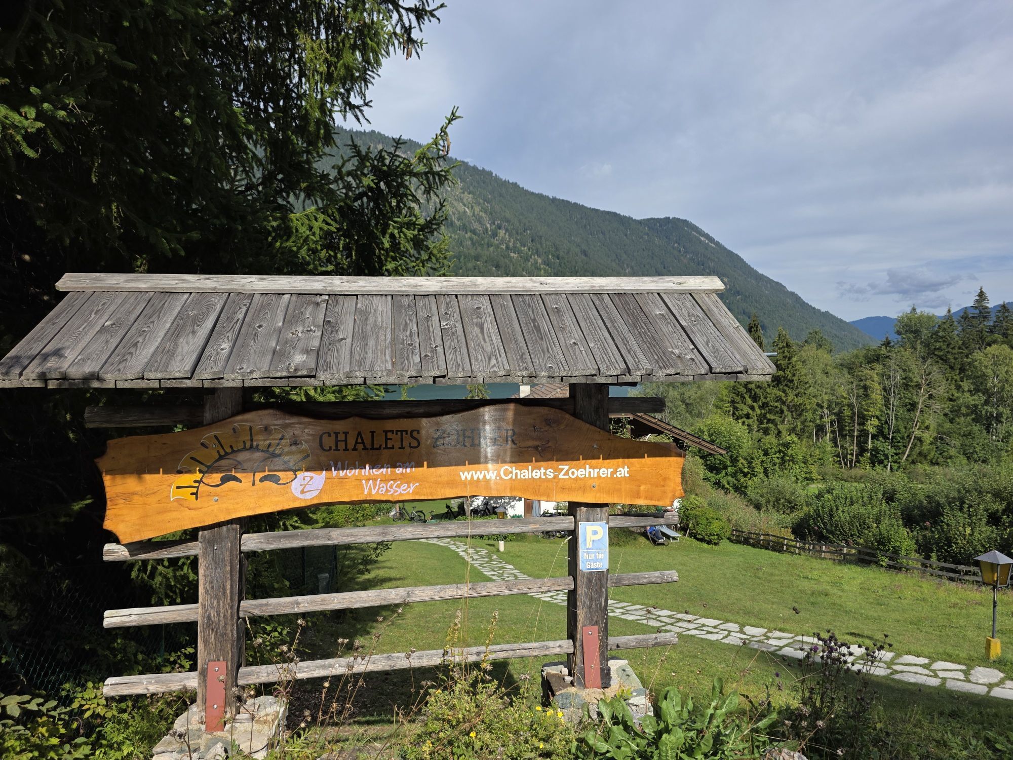
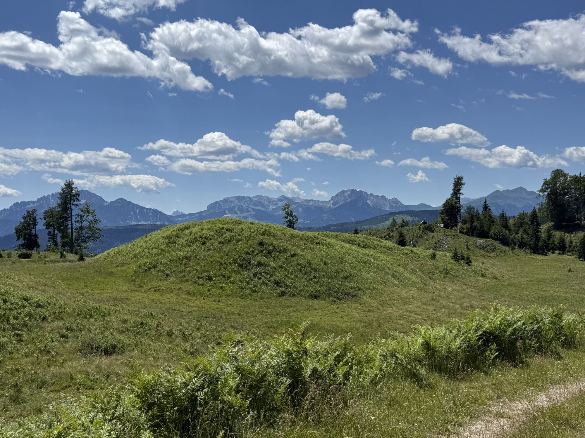
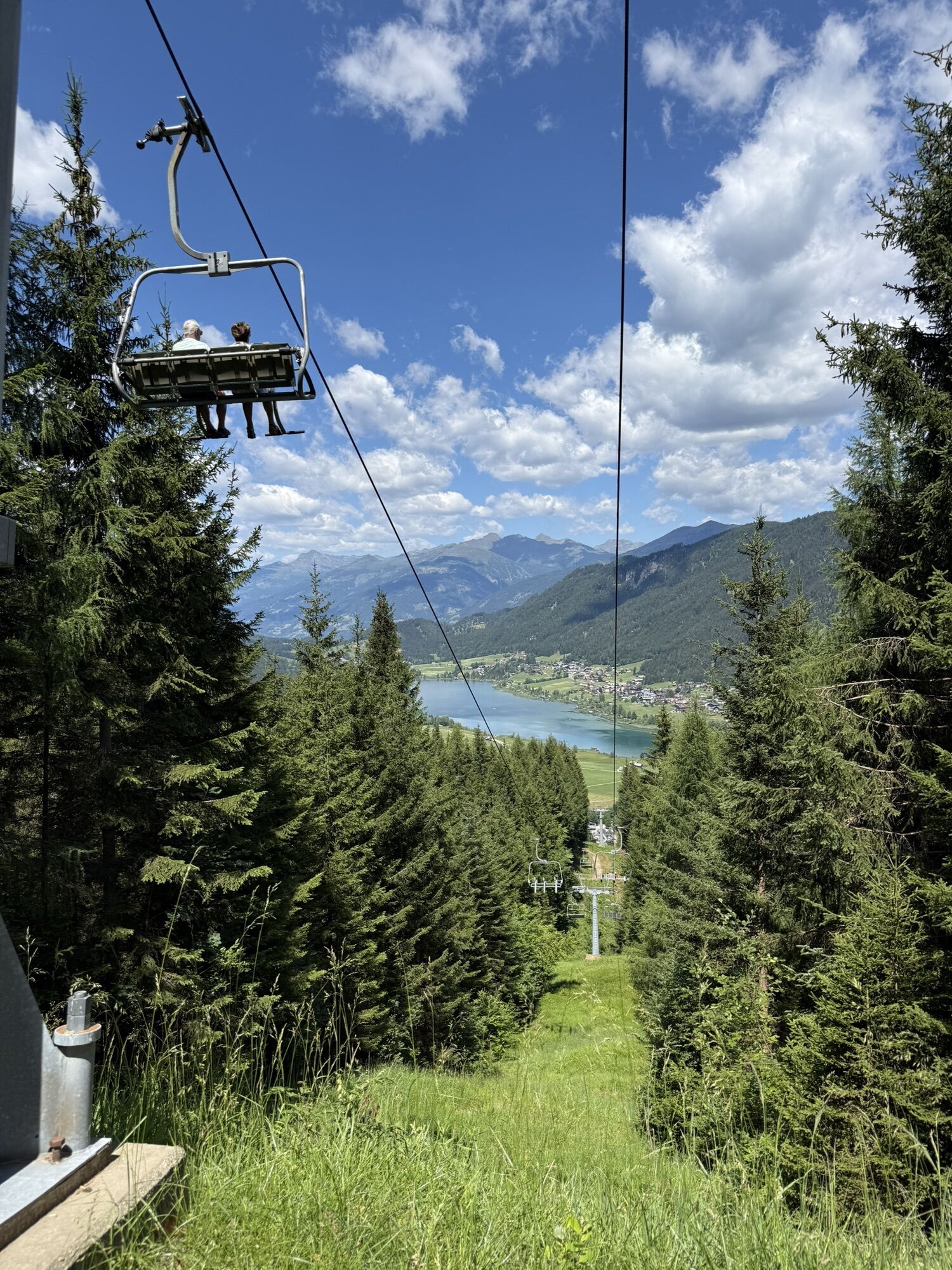
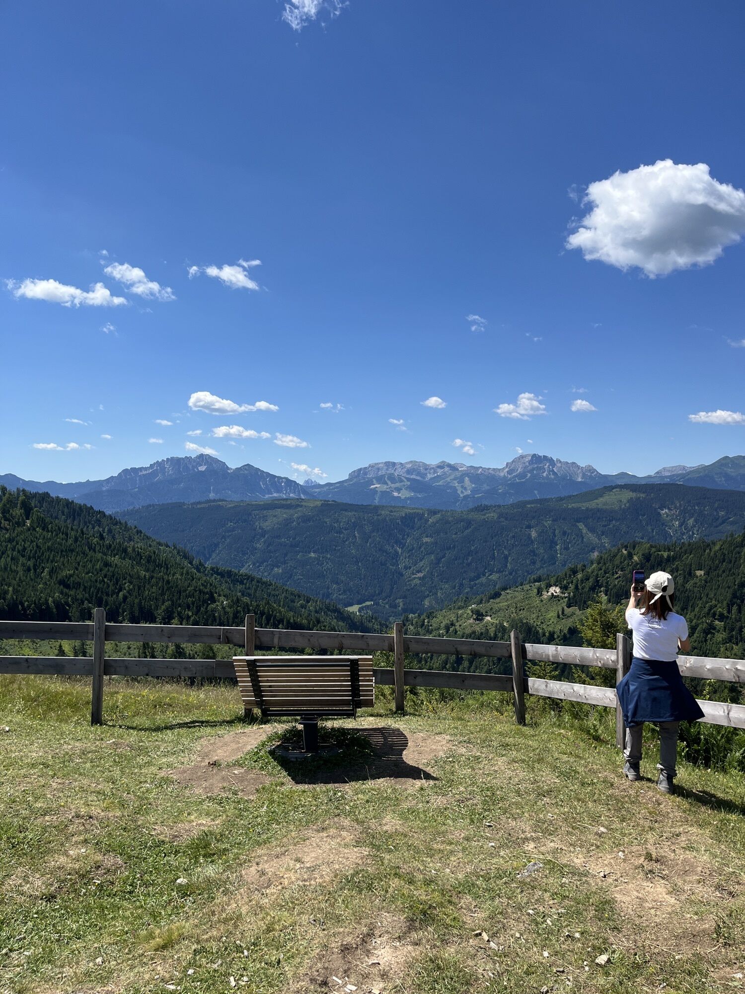
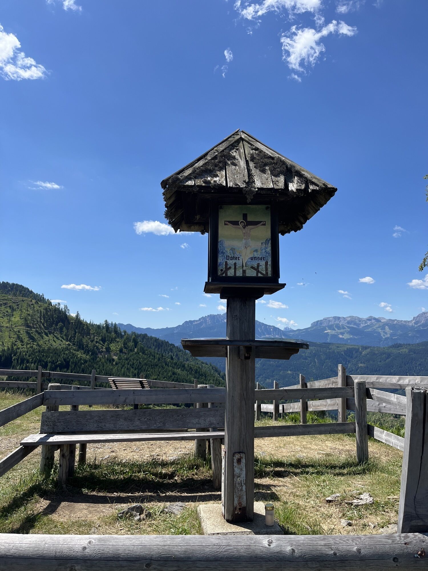
Along the way there are numerous beautiful viewpoints over Weissensee that you should definitely capture with your camera.
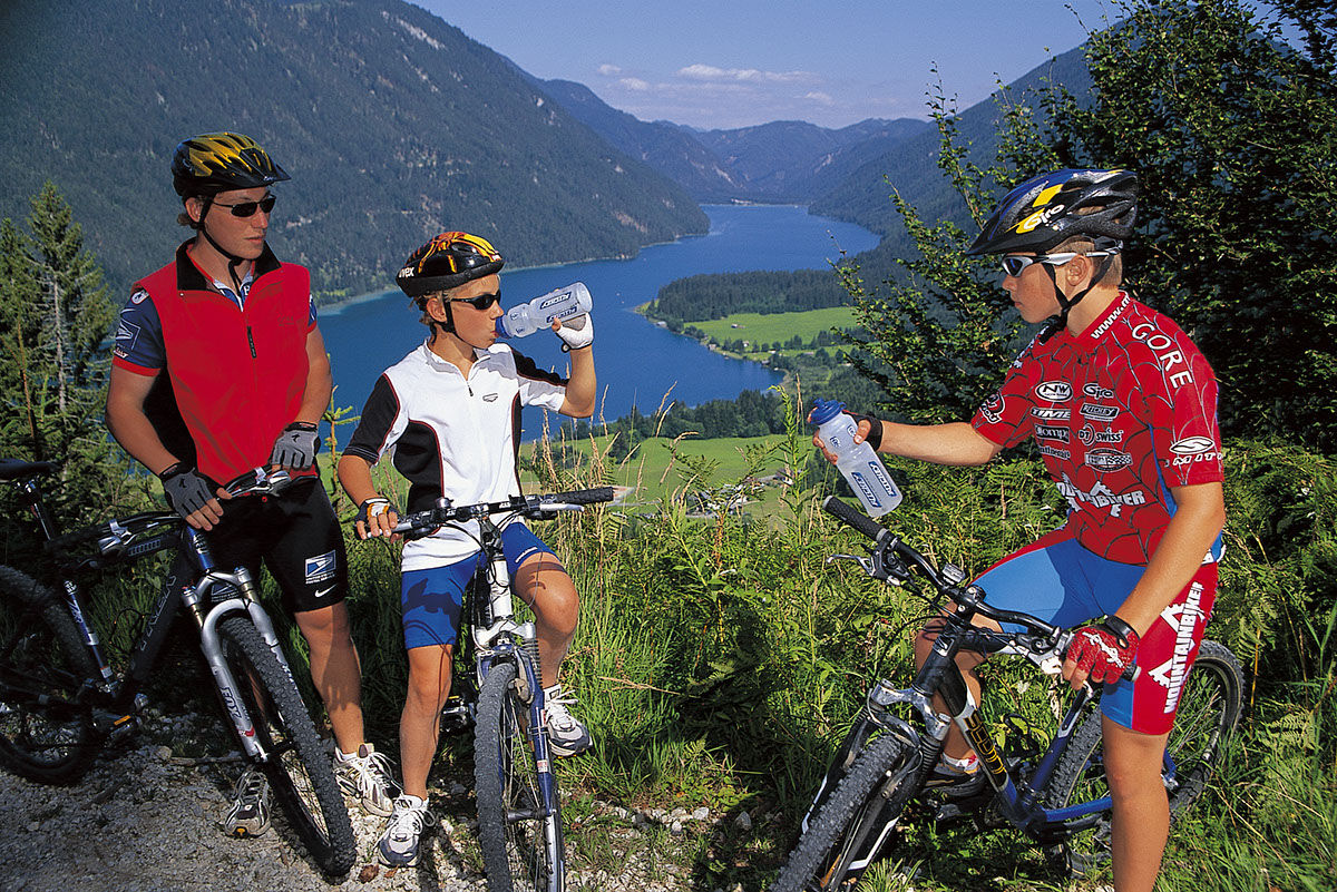
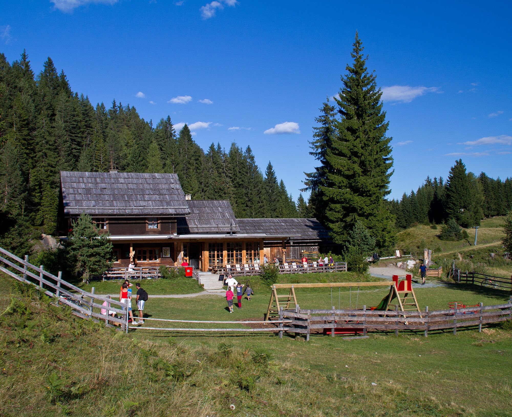
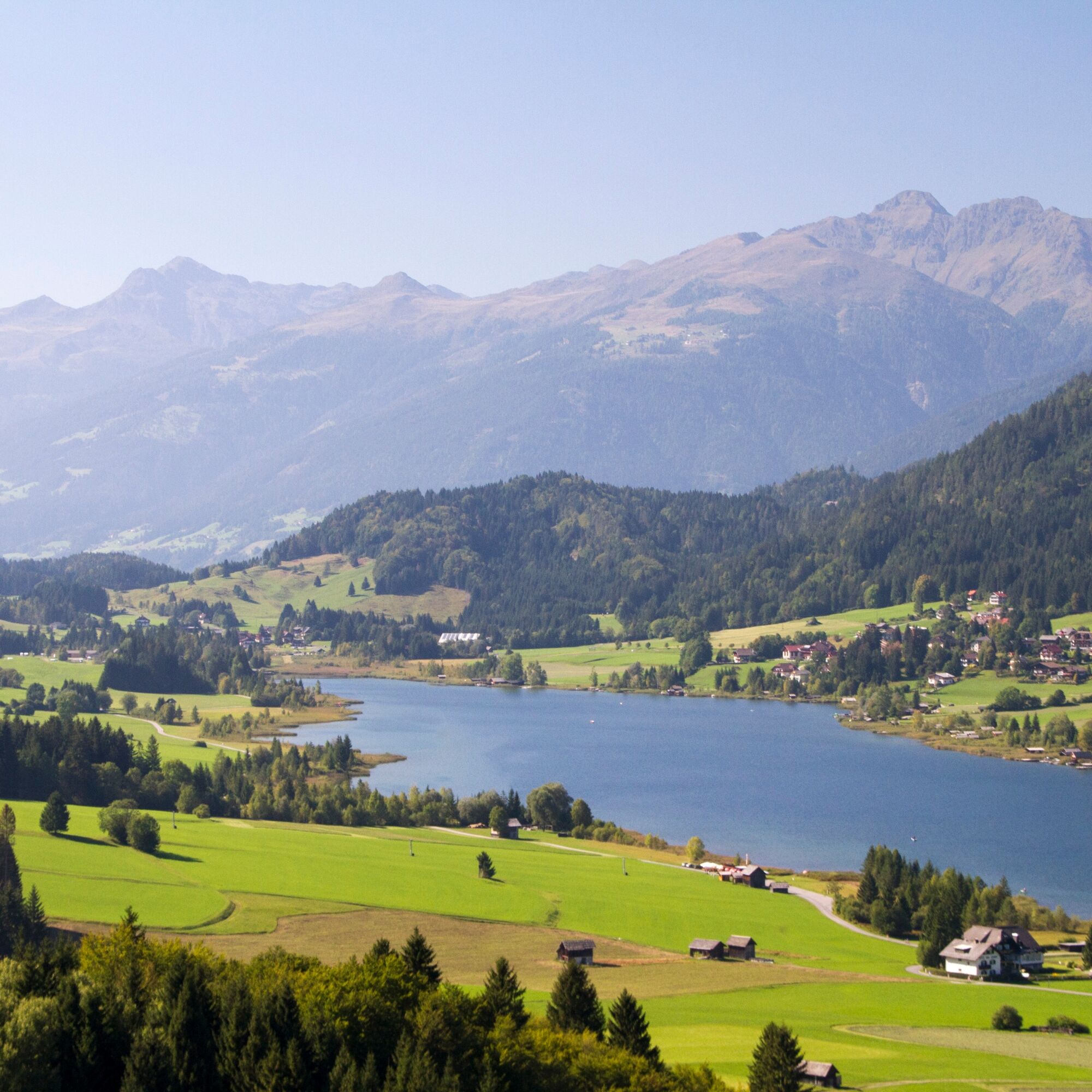
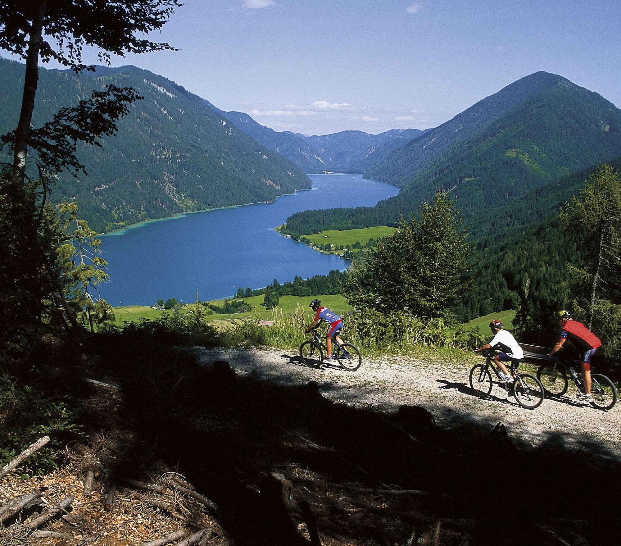

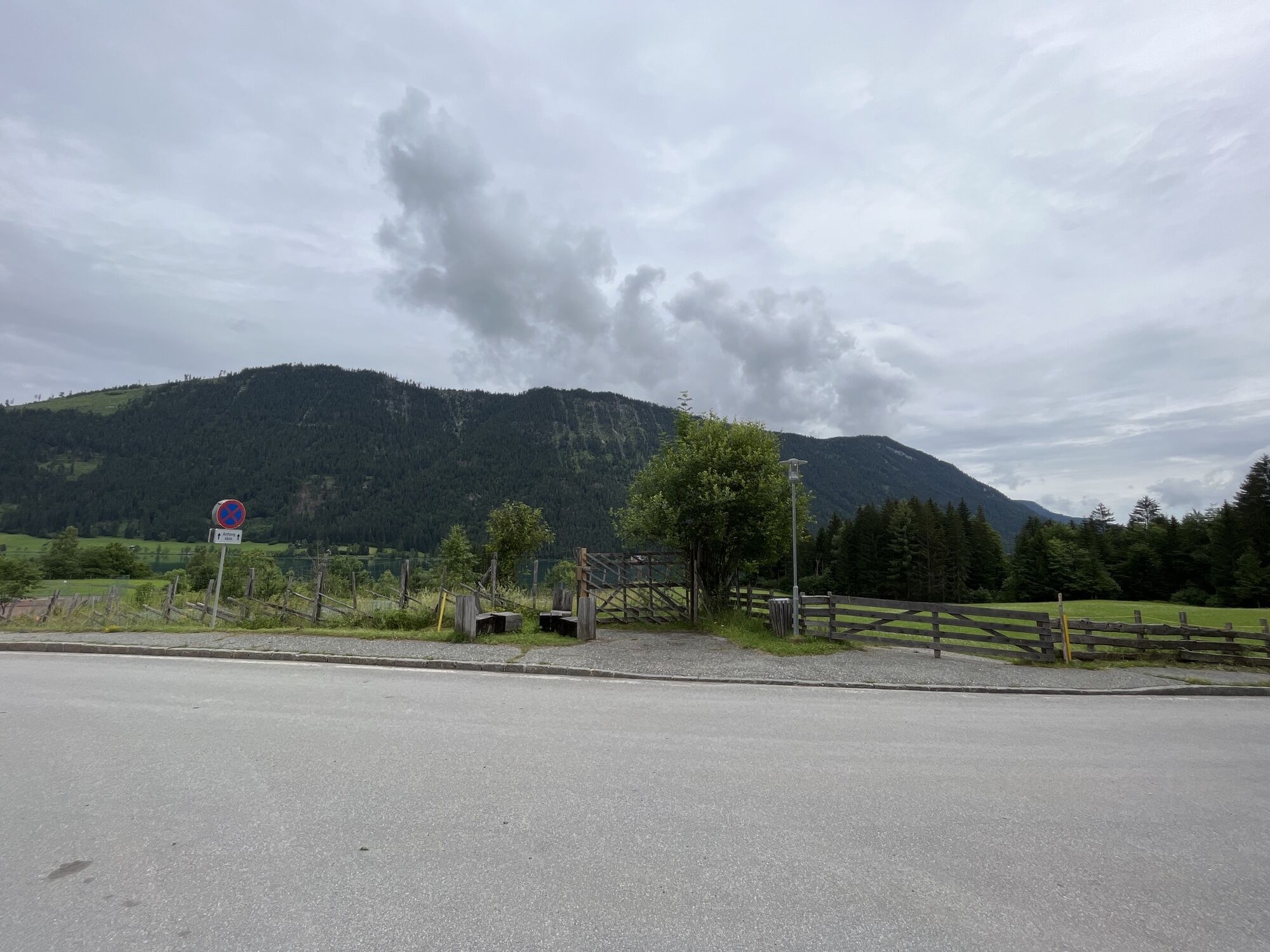
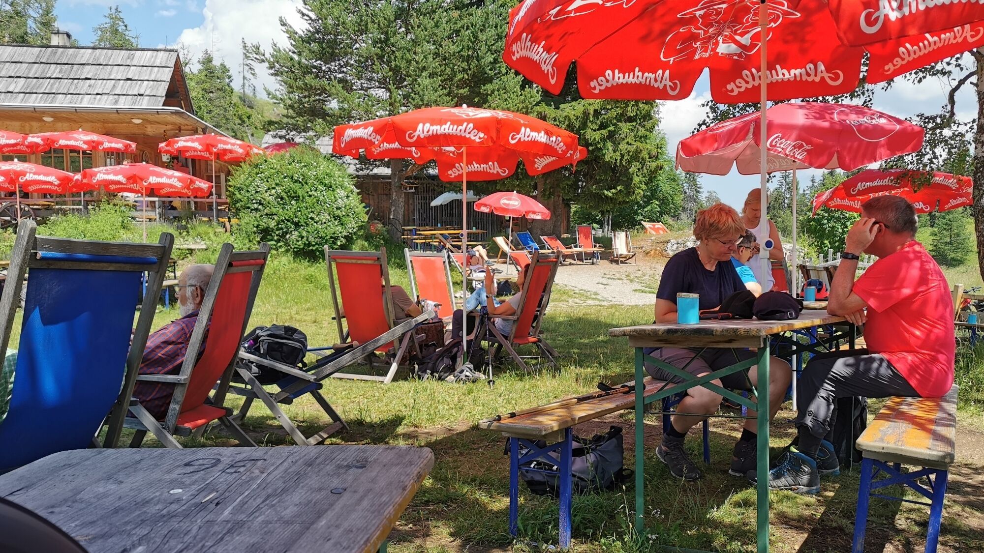
Starting point: "Weissensee Haus" in Techendorf. From there, take a right onto the paved south shore road to Unternaggl. Shortly after the tennis courts of the "Pension Sonnenhof", turn right onto a forest road that is very winding until a junction (Kohlröslhütte - Naggler Alm). This part of the route is characterized by a steady ascent and smooth surface. At the junction, continue the route right towards the Naggler Alm (serviced). Shortly after, turn right again and cycle over a short but challenging ascent to the alpine area. Tip: A short detour to the EU monument "Signpost for Tomorrow" or to the mountain bike skills course (MW 9; Naggler Alm) is worthwhile. Passing "Ritschats Bründl" and viewpoints with impressive views of the lake, the tour continues back to the starting point, the Weissensee Haus.
Tak
Functional MTB (hardtail fully sufficient), water bottle, backpack with spare clothes and warm jacket for the descent.
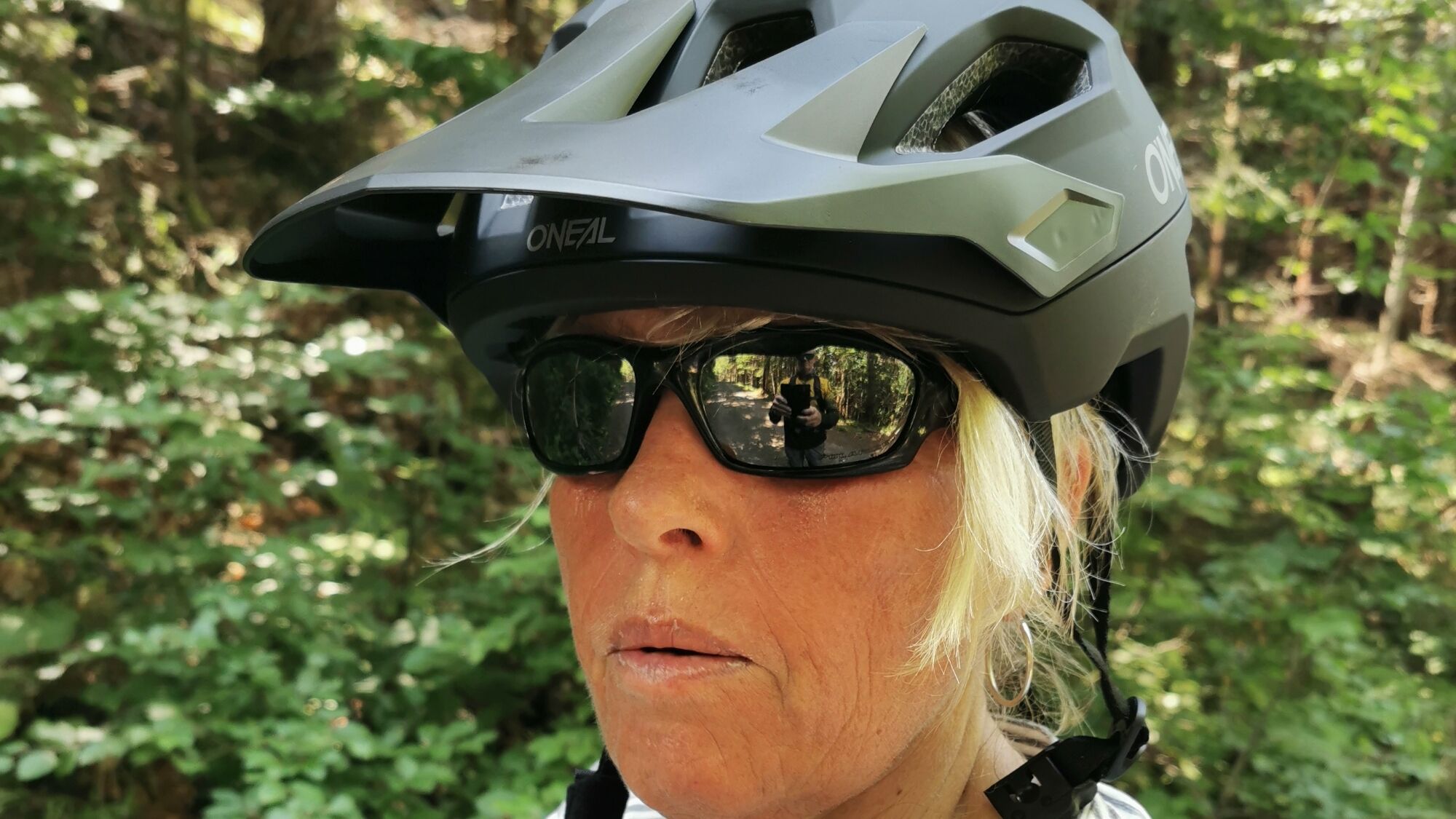
Helmet is mandatory on every bike ride!
Liability at your own risk! Watch out for car traffic!
Car:
From the north (D, NL, B, L, DK, SK):
Munich - Salzburg - Tauern Motorway (A10) - Spittal junction - Greifenburg - Weissensee
Munich - Salzburg - Badgastein (train loading Tauern loop) - Mallnitz - Möllbrücke - Greifenburg - Weissensee
Munich - Großglockner High Alpine Road - Heiligenblut - Winklern - Iselsberg - Oberdrauburg - Greifenburg - Weissensee
Munich - Mittersill - Felbertauern Road - Lienz - Oberdrauburg - Greifenburg - Weissensee
From the west (CH, F, I):
Innsbruck - Mittersill - Felbertauern Road or Brenner Motorway - Lienz - Oberdrauburg - Greifenburg - Weissensee
From the east (A, H):
South Motorway (A2) - Villach - Spittal - Greifenburg - Weissensee or Villach - direction Italy to Hermagor/Gailtal exit - Hermagor - Weissensee
West Motorway (A1) - Salzburg - Tauern Motorway (A10) - Spittal junction - Greifenburg - Weissensee
From the south (I, SLO, HR):
Udine - Tarvisio - Hermagor/Gailtal exit - Hermagor - Weissensee
Ljubljana - Karawanks Tunnel - Villach - direction Italy to Hermagor/Gailtal exit - Hermagor - Weissensee
...by train
Arrive comfortably and stress-free by train! Use the service of the station shuttle - it takes you from the station in Greifenburg to the Nature Park Weissensee, 10 km away. Reservations for the shuttle at: www.naturparkshuttle.com (reservations by 6 p.m. the day before at the latest)
Parking lot behind the Weissensee Haus (fee required)
Be sure to enjoy a Kaiserschmarren at the Naggler Alm.



Kamery internetowe z trasy

Aktywności na trasie
-

Weißensee, Kärnten/Österreich
23.08.2026 – Wędrówka -

Techendorf, Kärnten/Österreich
18.08.2026 – Wędrówka -
Techendorf, Kärnten/Österreich
16.08.2026 – E-Bike -

Techendorf, Kärnten/Österreich
28.07.2026 – Wędrówka -
Weißensee, Kärnten/Österreich
15.06.2026 – Wędrówka -
Weißensee, Kärnten/Österreich
30.05.2026 – Mountainbike -
Weißensee, Kärnten/Österreich
17.05.2026 – Wędrówka -

Techendorf, Kärnten/Österreich
09.05.2026 – E-MTB
Popularne wycieczki w okolicy
-
5,0
W10 - Large lake round - Weissensee
ciężkiMountainbike 31,5 km -
4,9
Slow Trail Weissensee
średniWędrówka 6,69 km -
4,5
RW_N9 Weißenbachklamm
średniWędrówka 7,49 km -
4,9
Weissensee Ost- nach Westufer
światłoWędrówka 10,2 km -
4,9
Parkplatz Seetal - STAFF und retour
średniWędrówka 13,2 km -
4,8
Weiße Wand - Alm hinterm Brunn
Mountainbike 22,1 km -
4,6
Bergstation Weißensee bis Golz
średniWędrówka 14,8 km -
4,7
Drau Cycle Path R1
światłoJazda na rowerze 75,9 km -
5,0
Bodenalm - Ostufer - mit dem Schiff zurück
Mountainbike 19,1 km -
4,4
WY_W2 hike to the Alm behind the Brunn
średniWędrówka zimą 3,04 km
Wędrówki i tropienie


Nie przegap ofert i inspiracji na następne wakacje
Twój adres e-mail została dodana do listy mailingowej.





