







Drau Cycle Path R1

Poziom trudności: 1
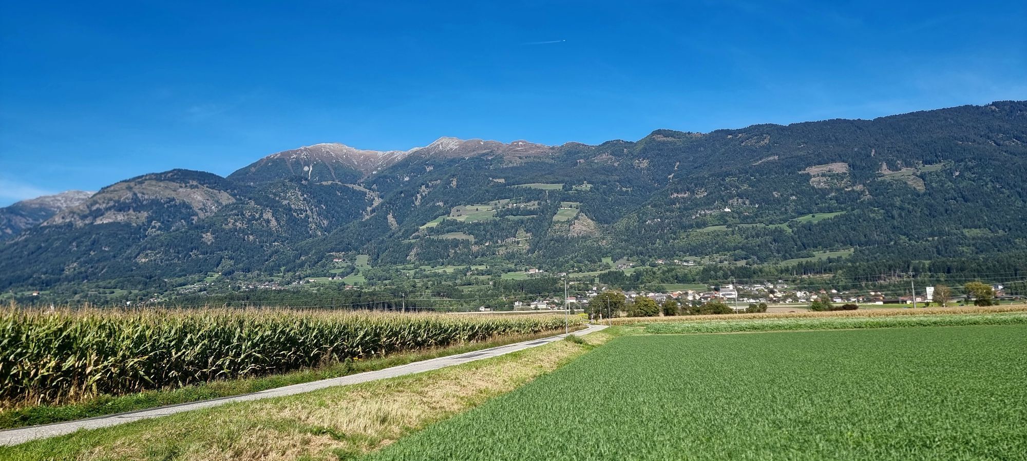
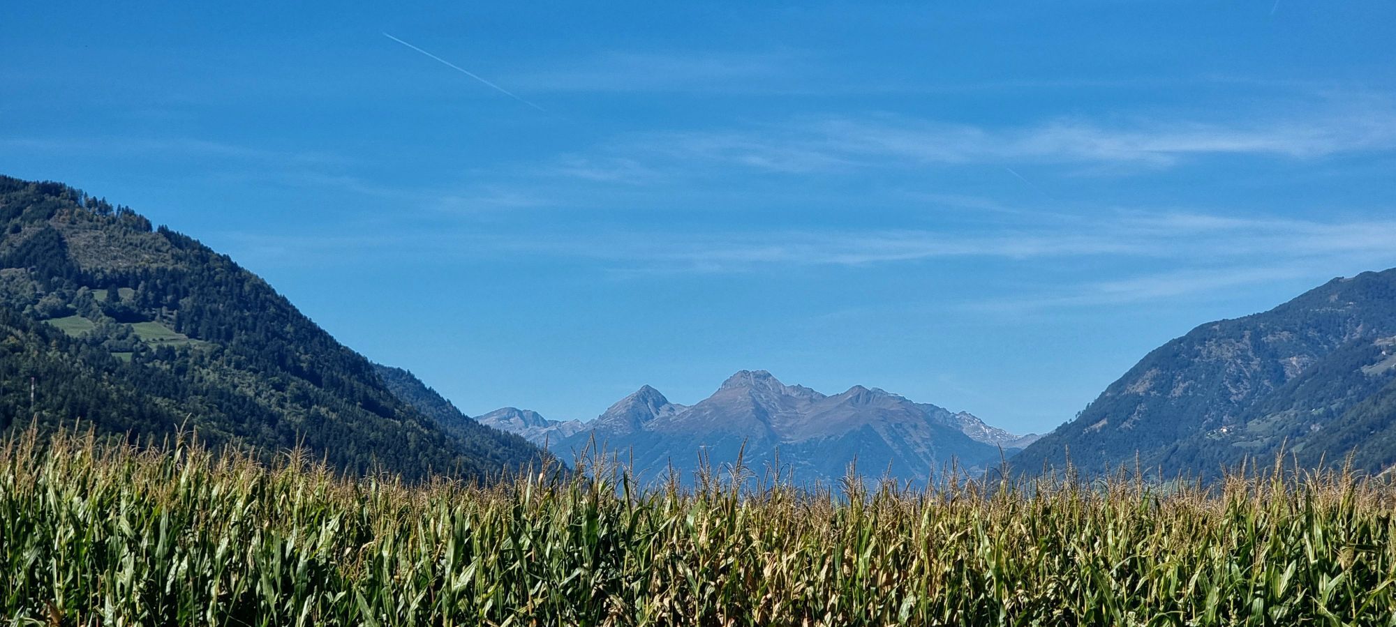
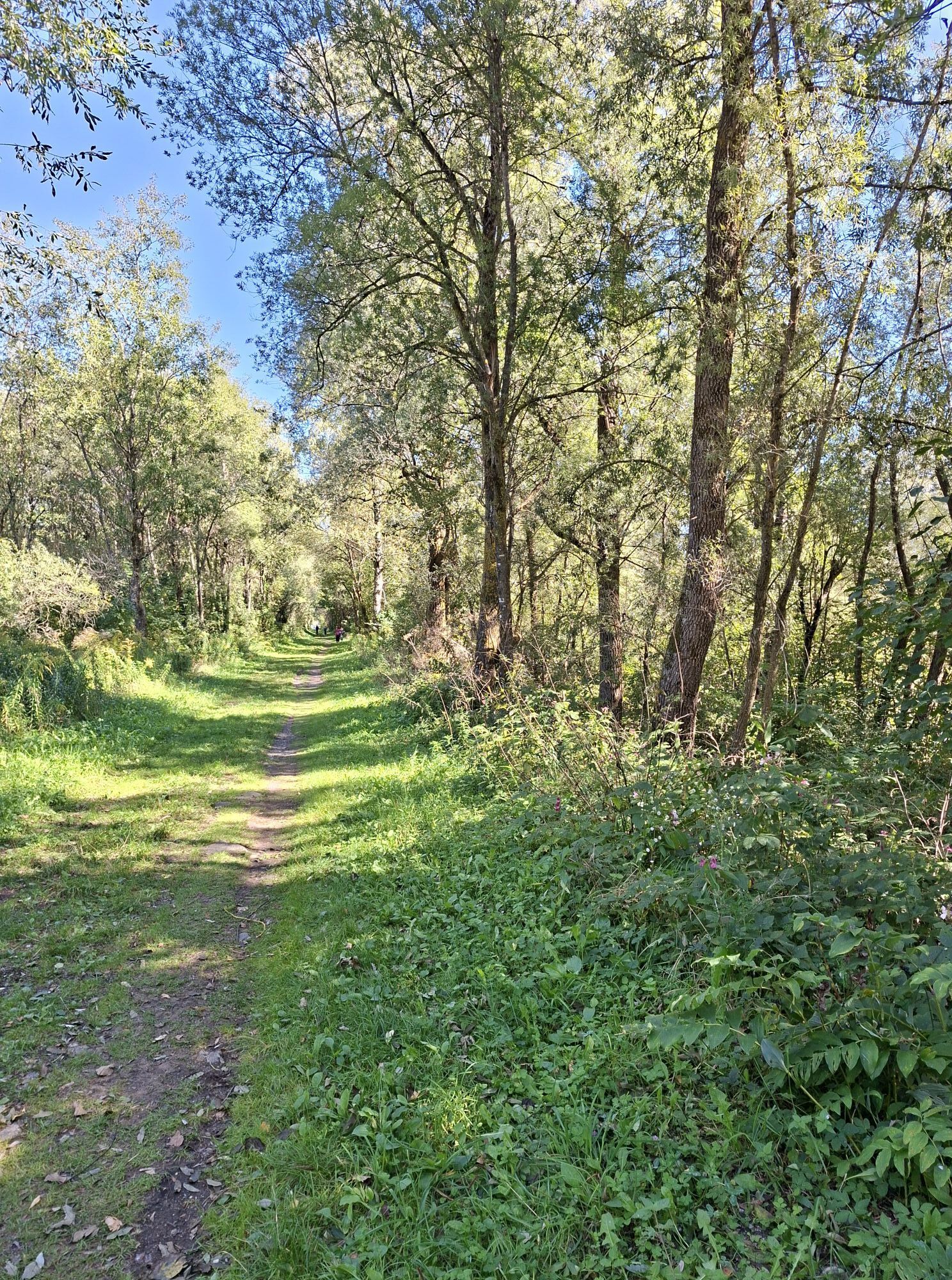
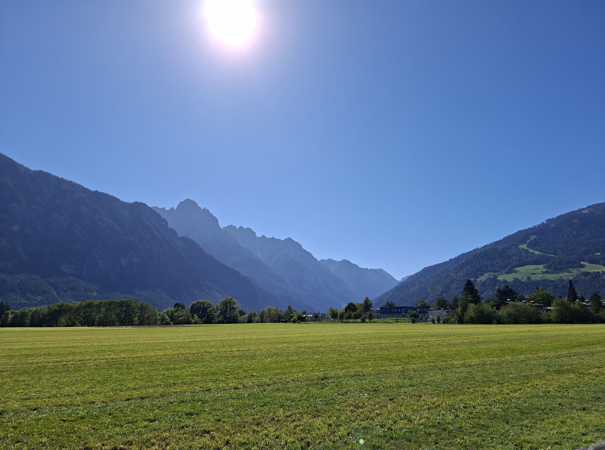
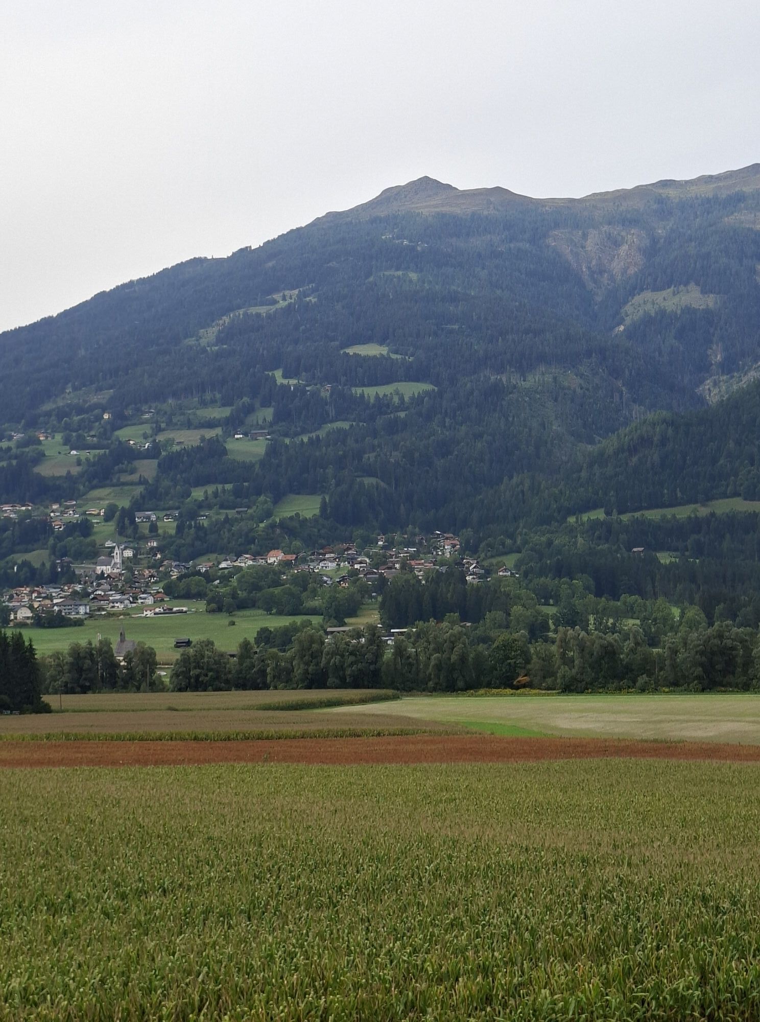
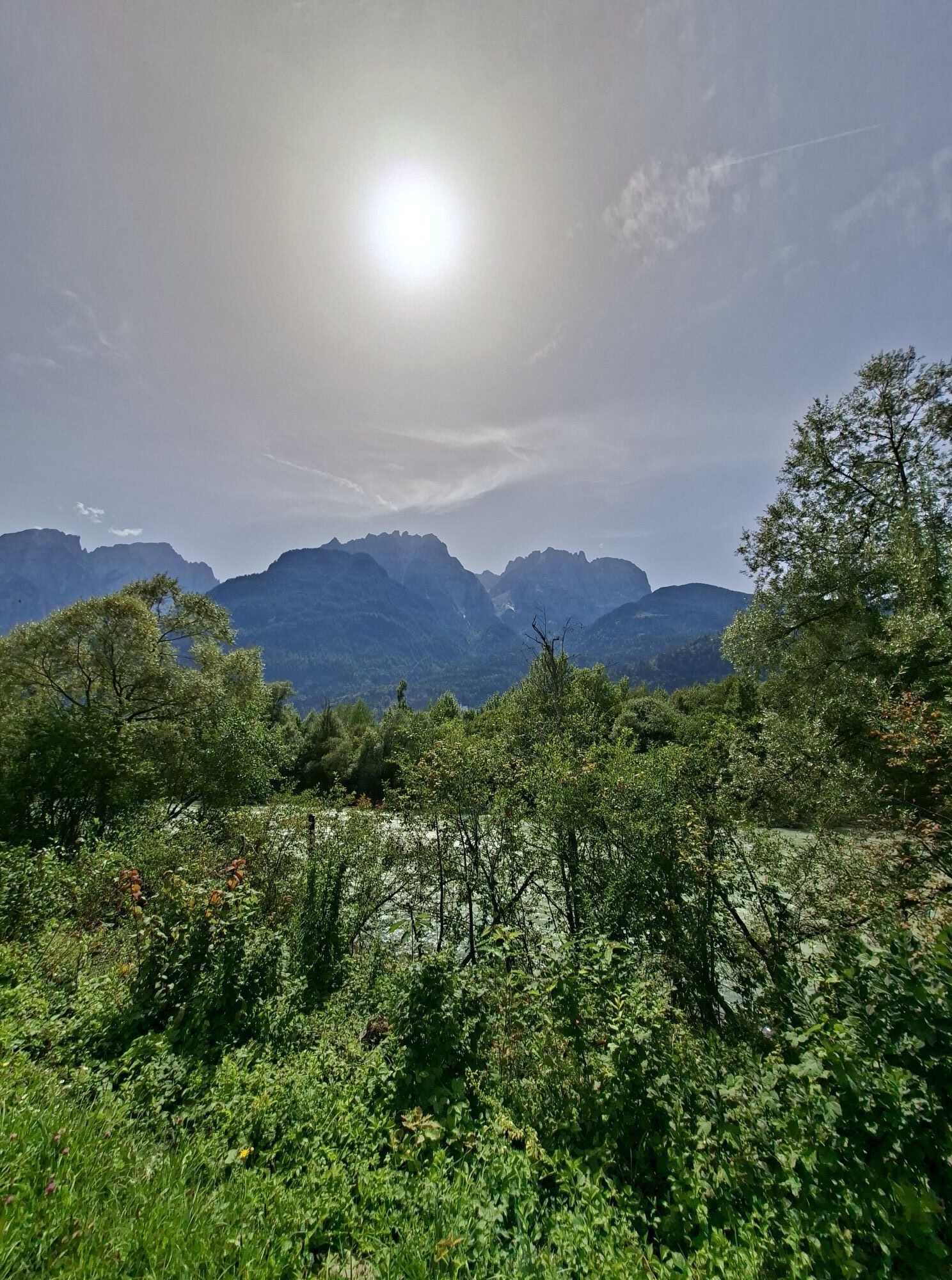
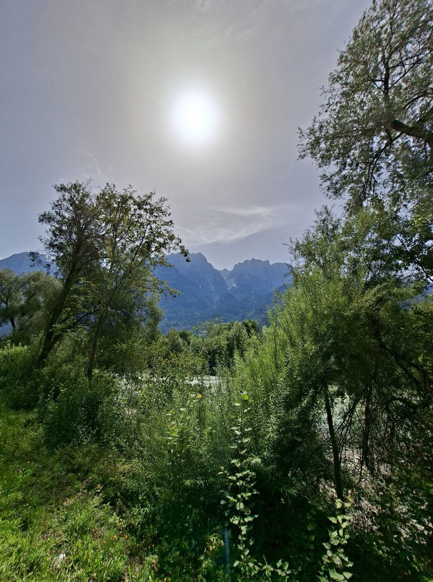
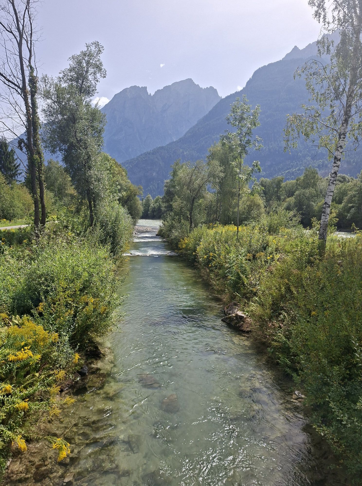
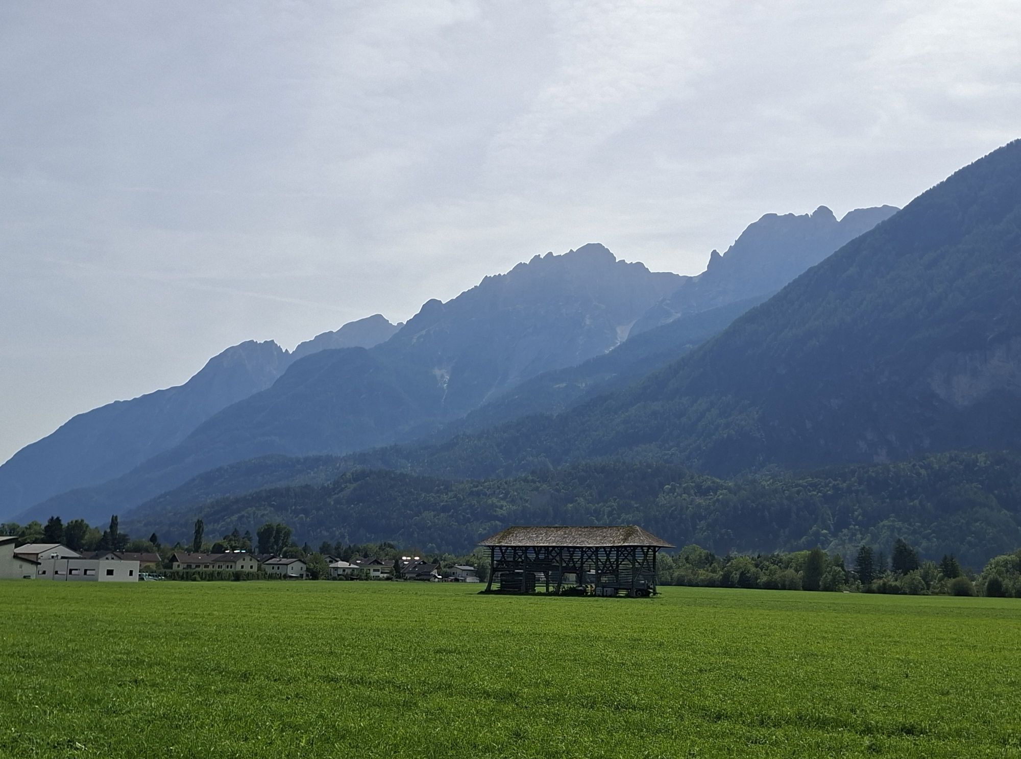
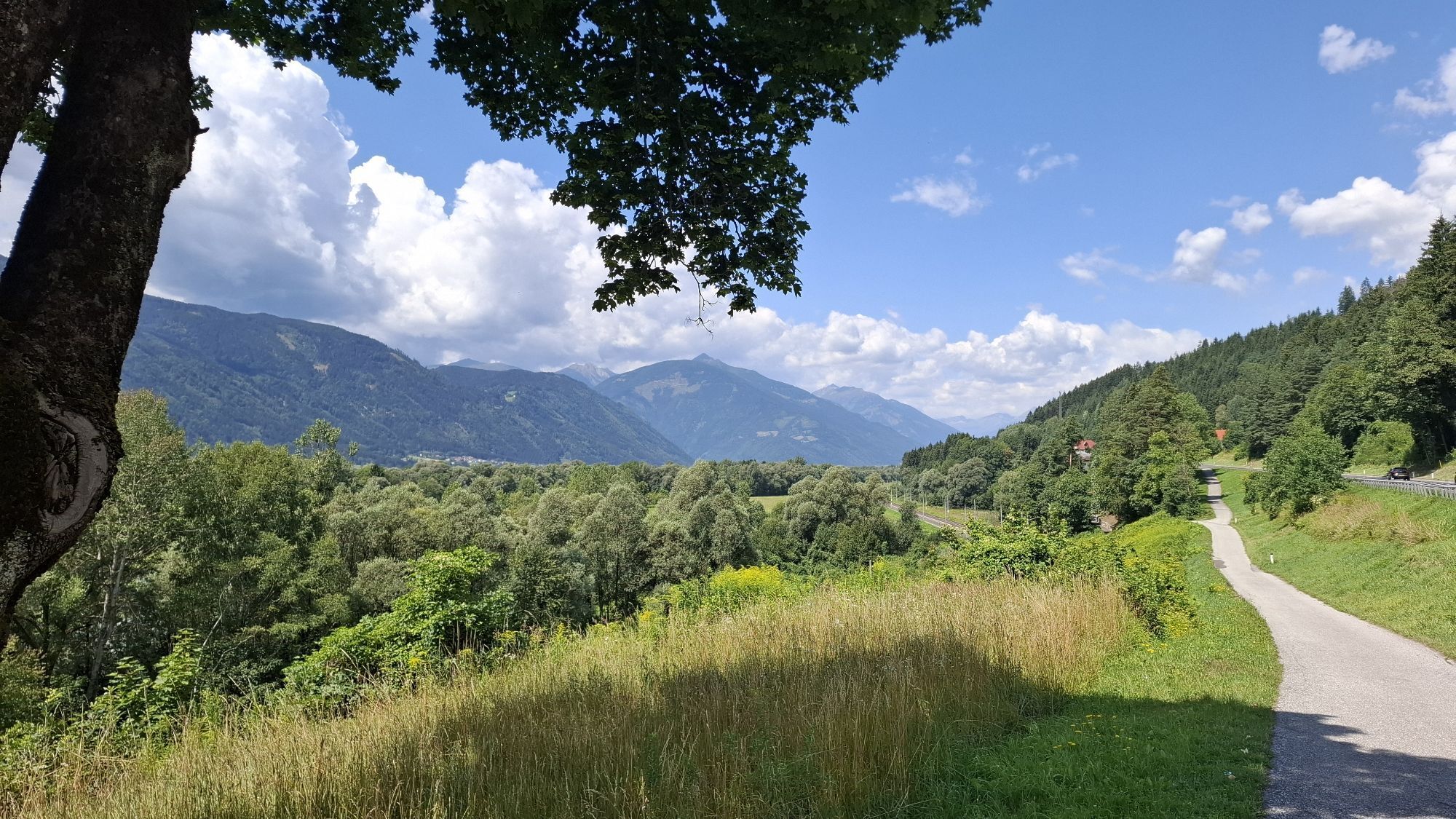
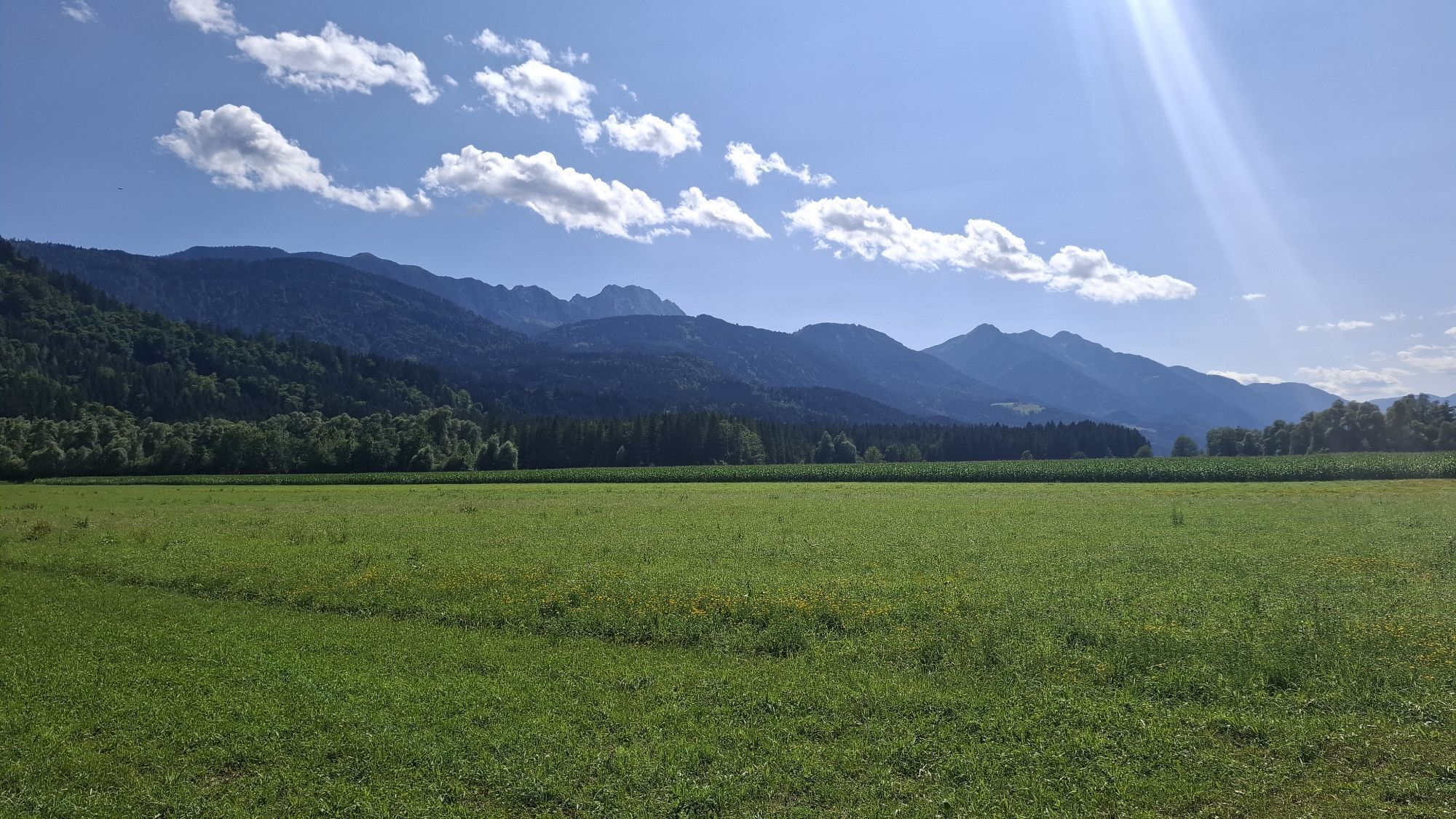
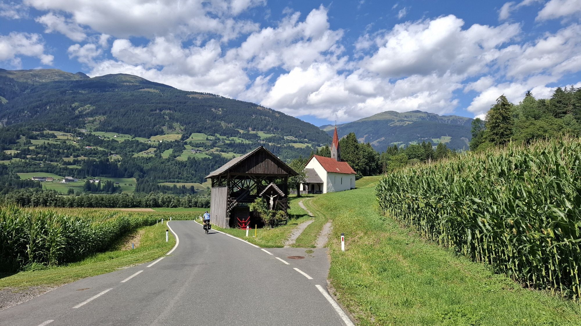
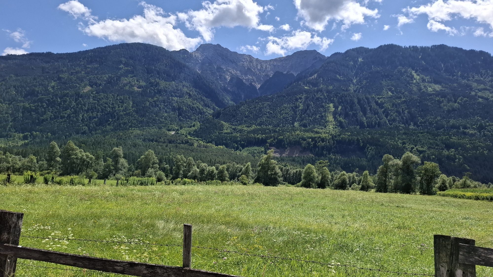
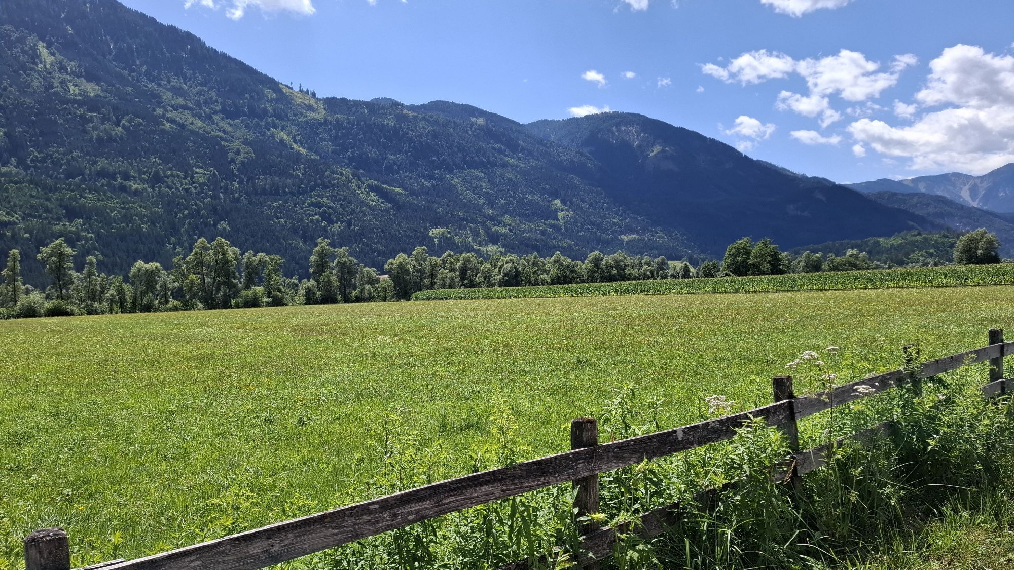
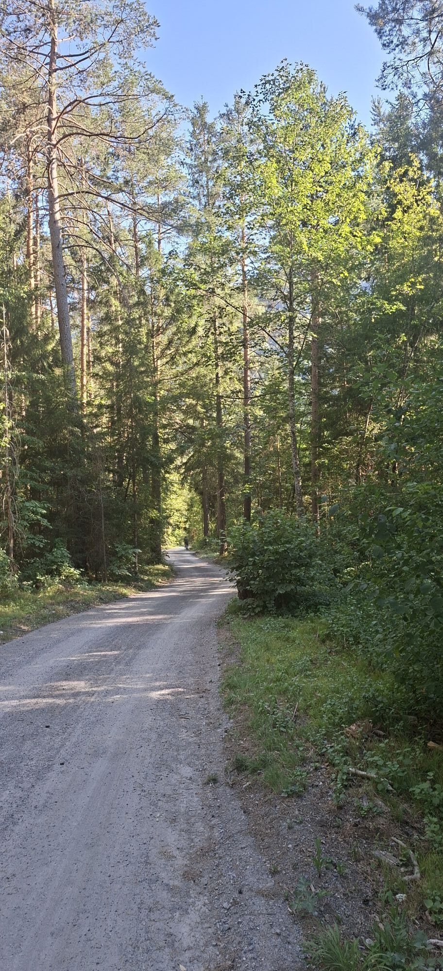
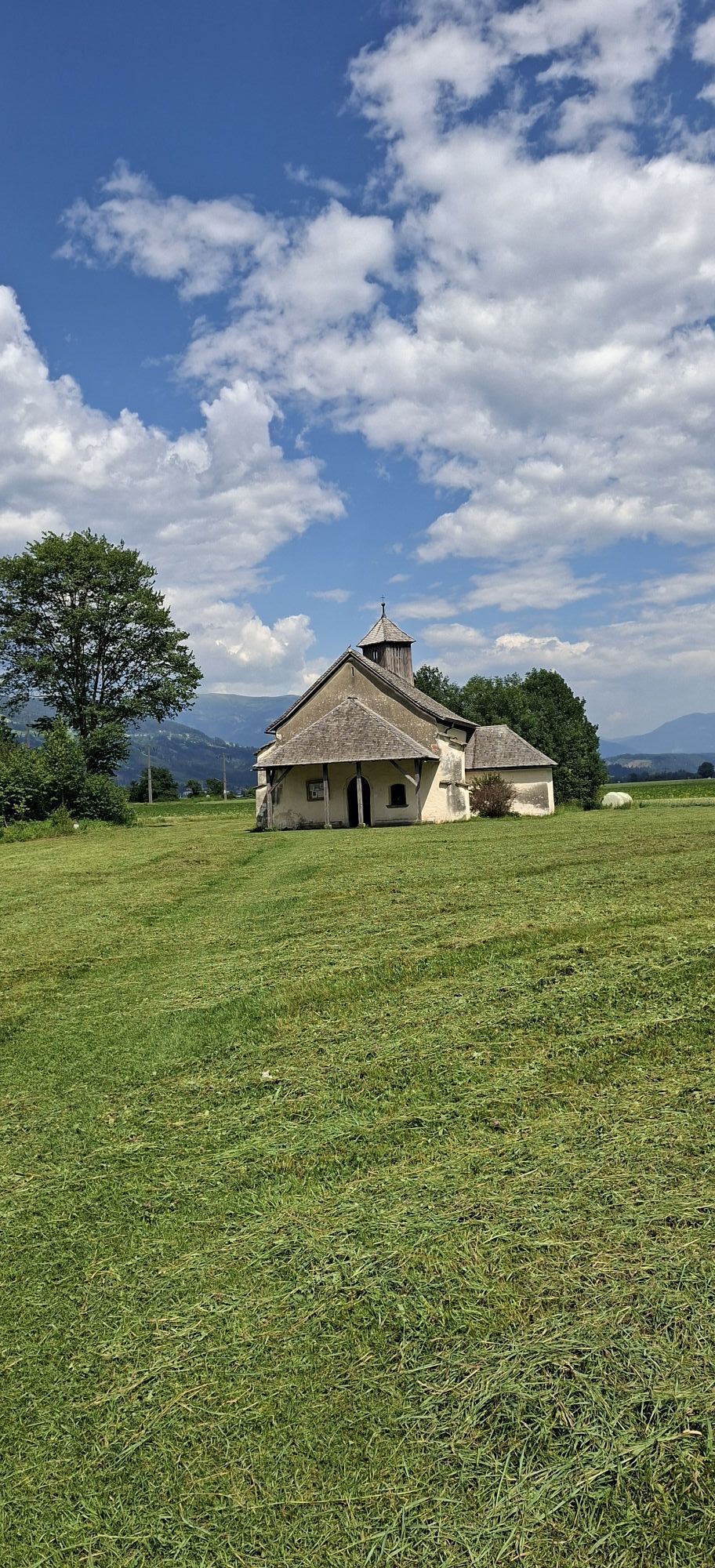
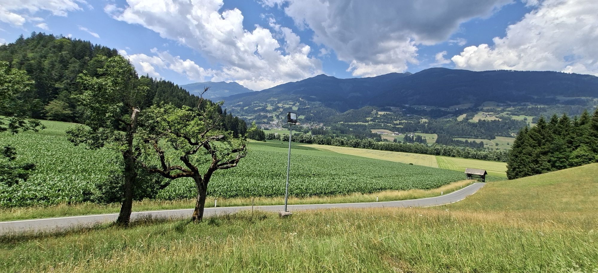
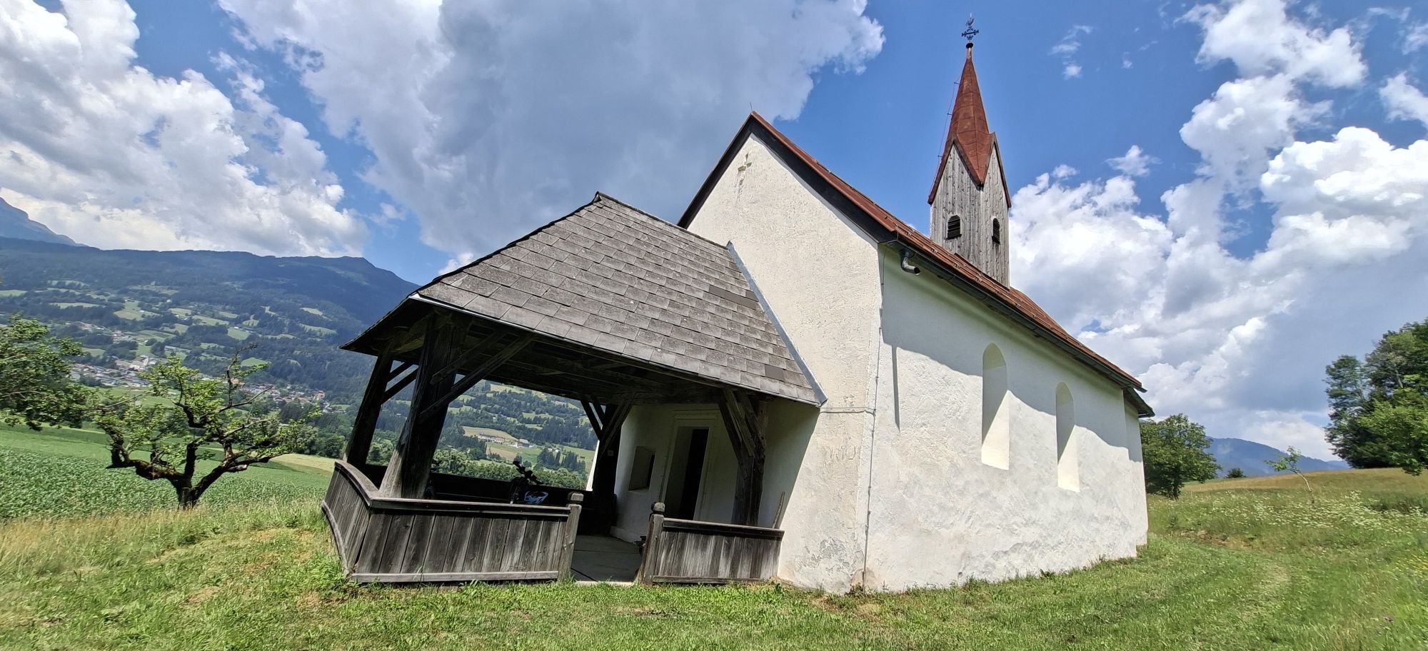
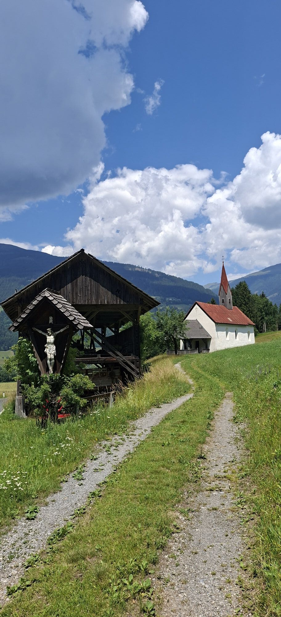
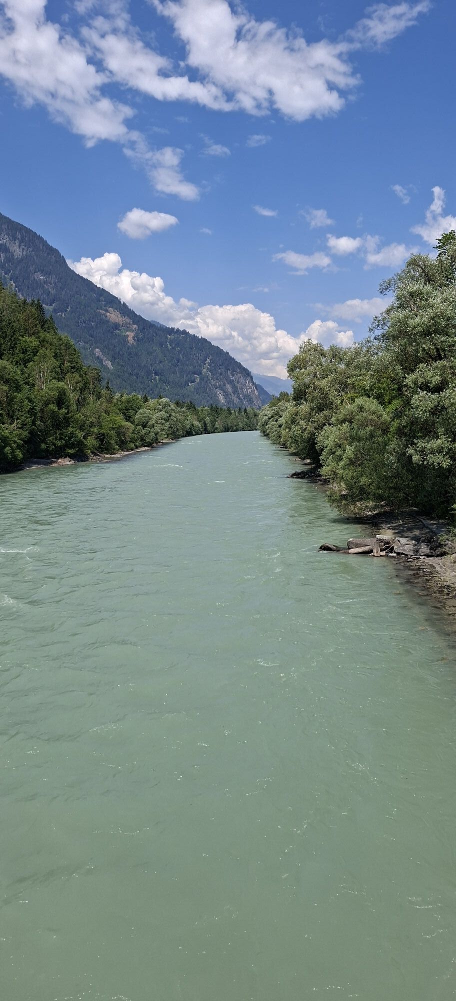
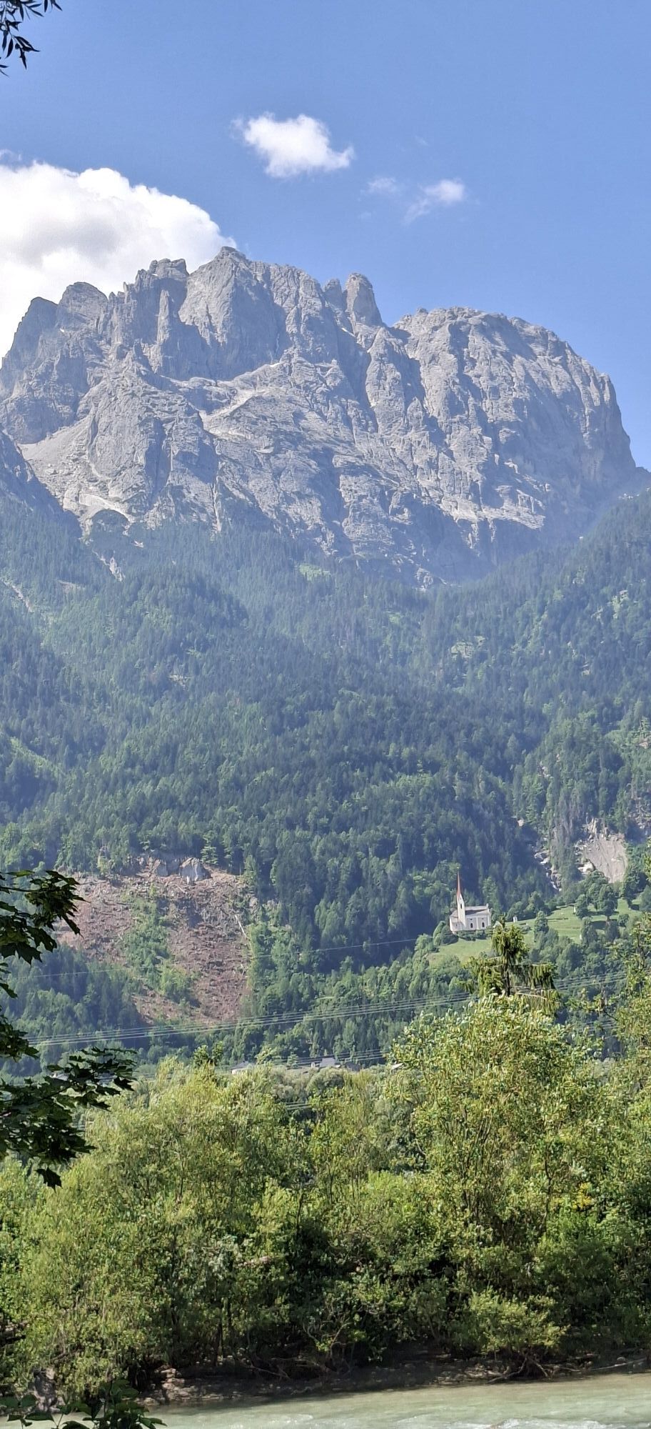
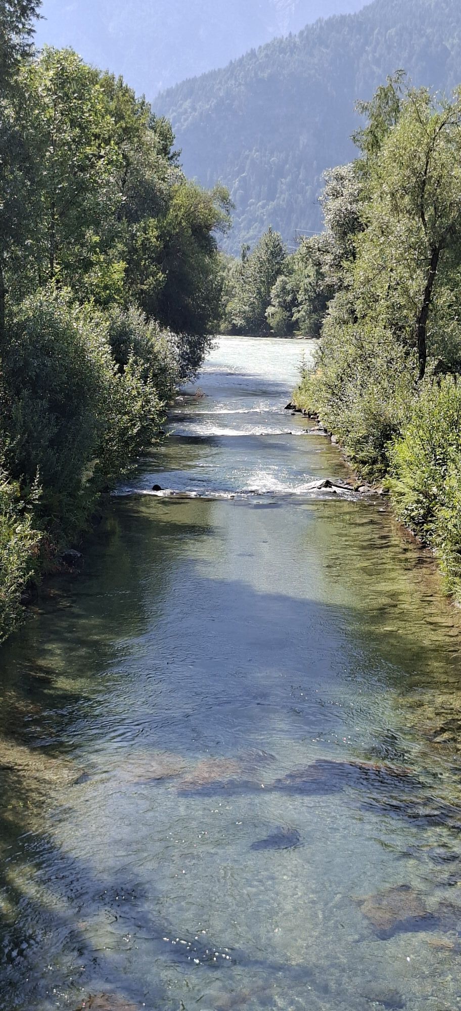
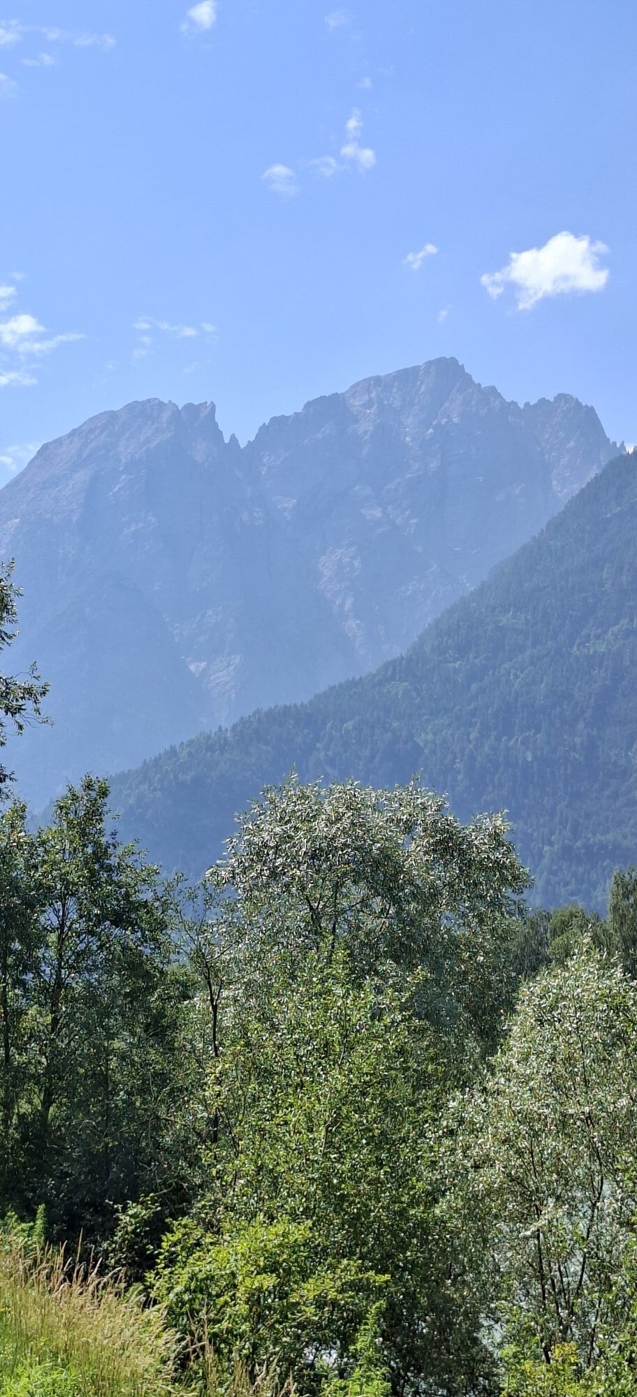
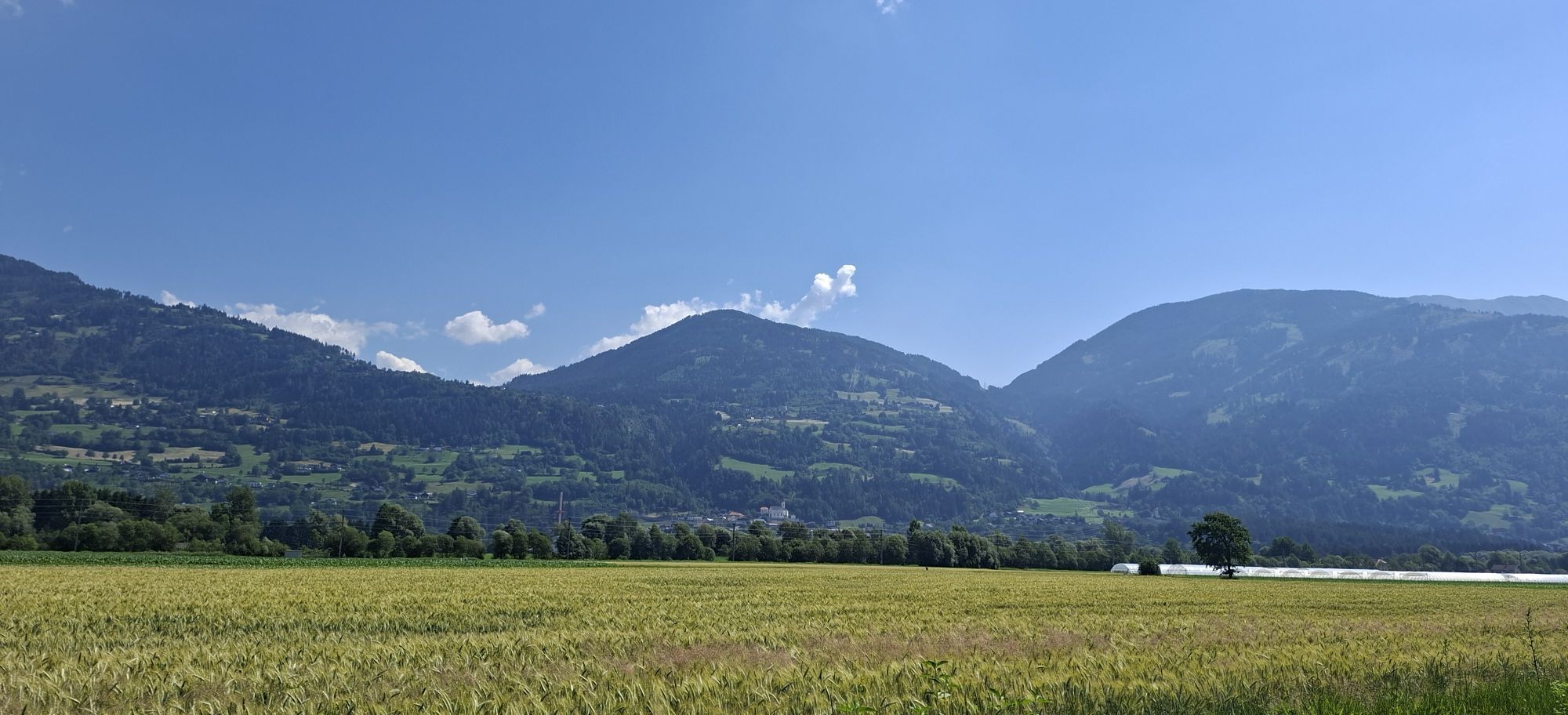
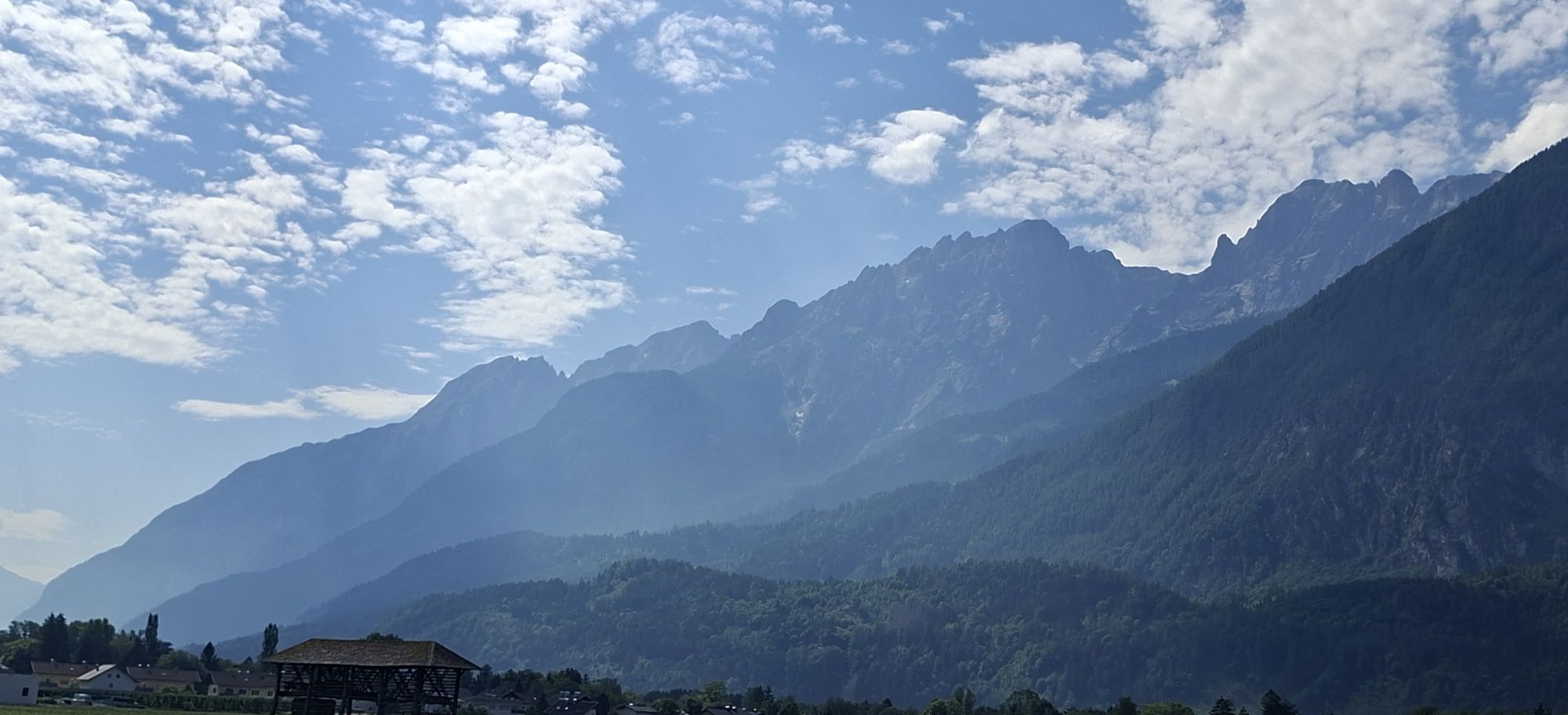
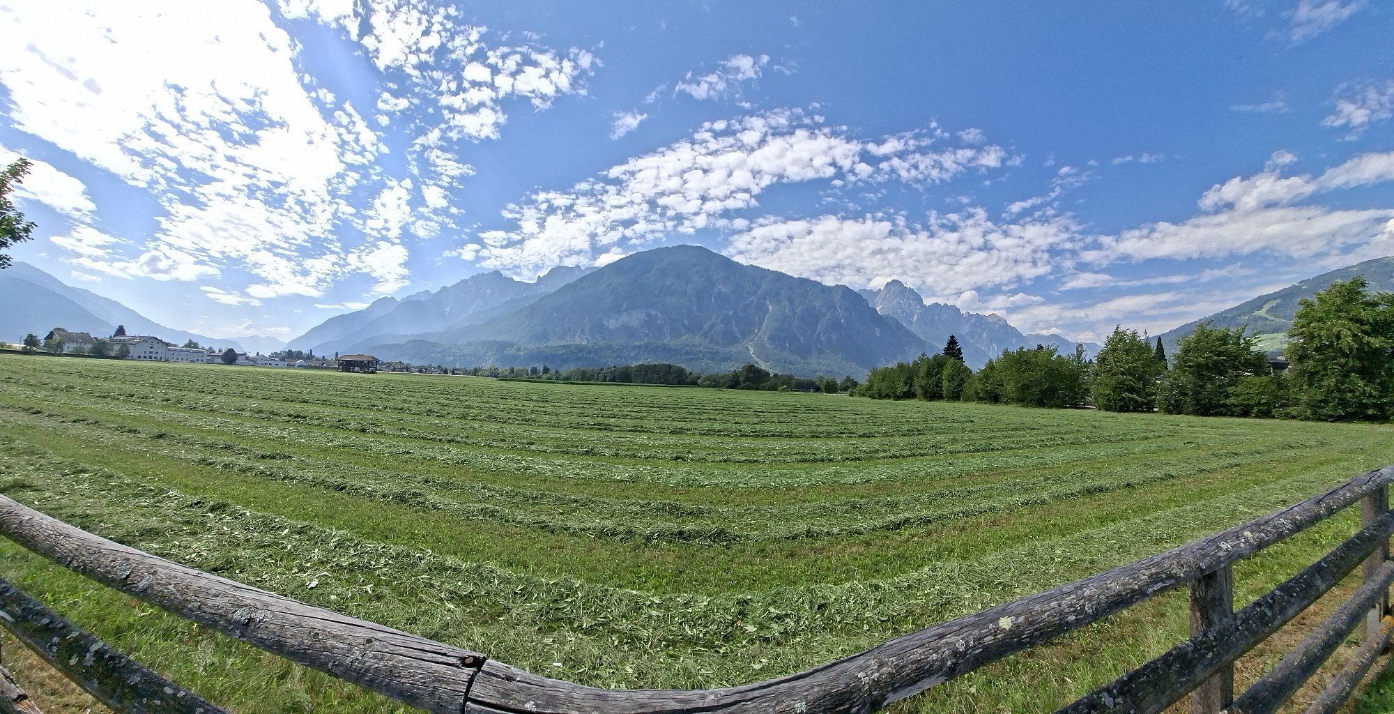
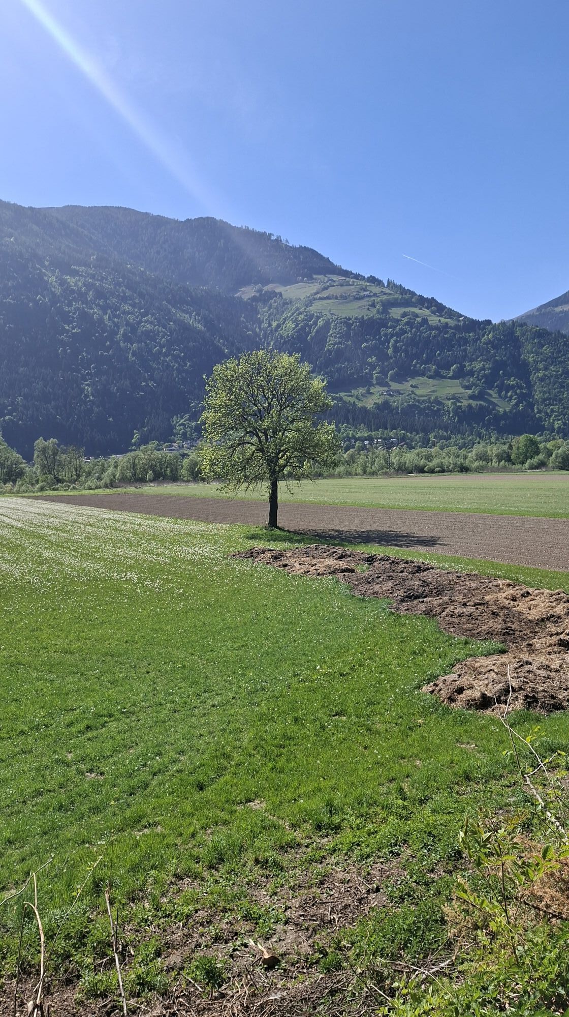
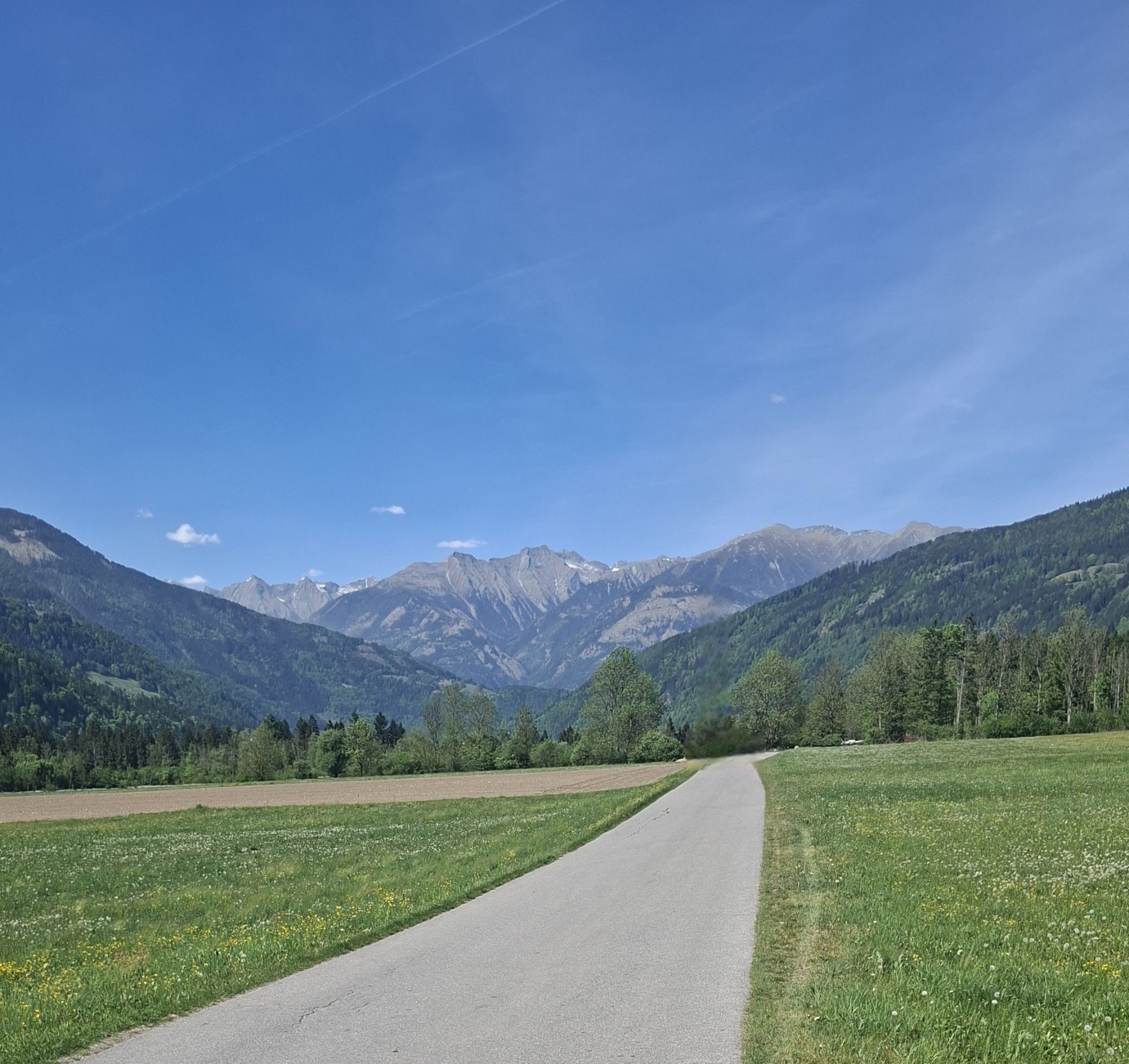
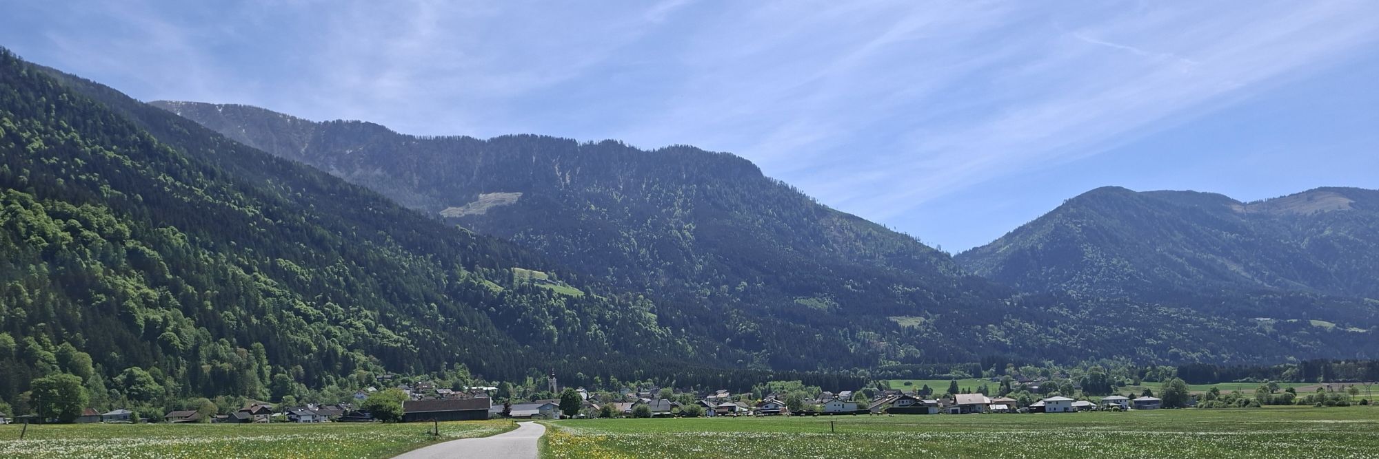
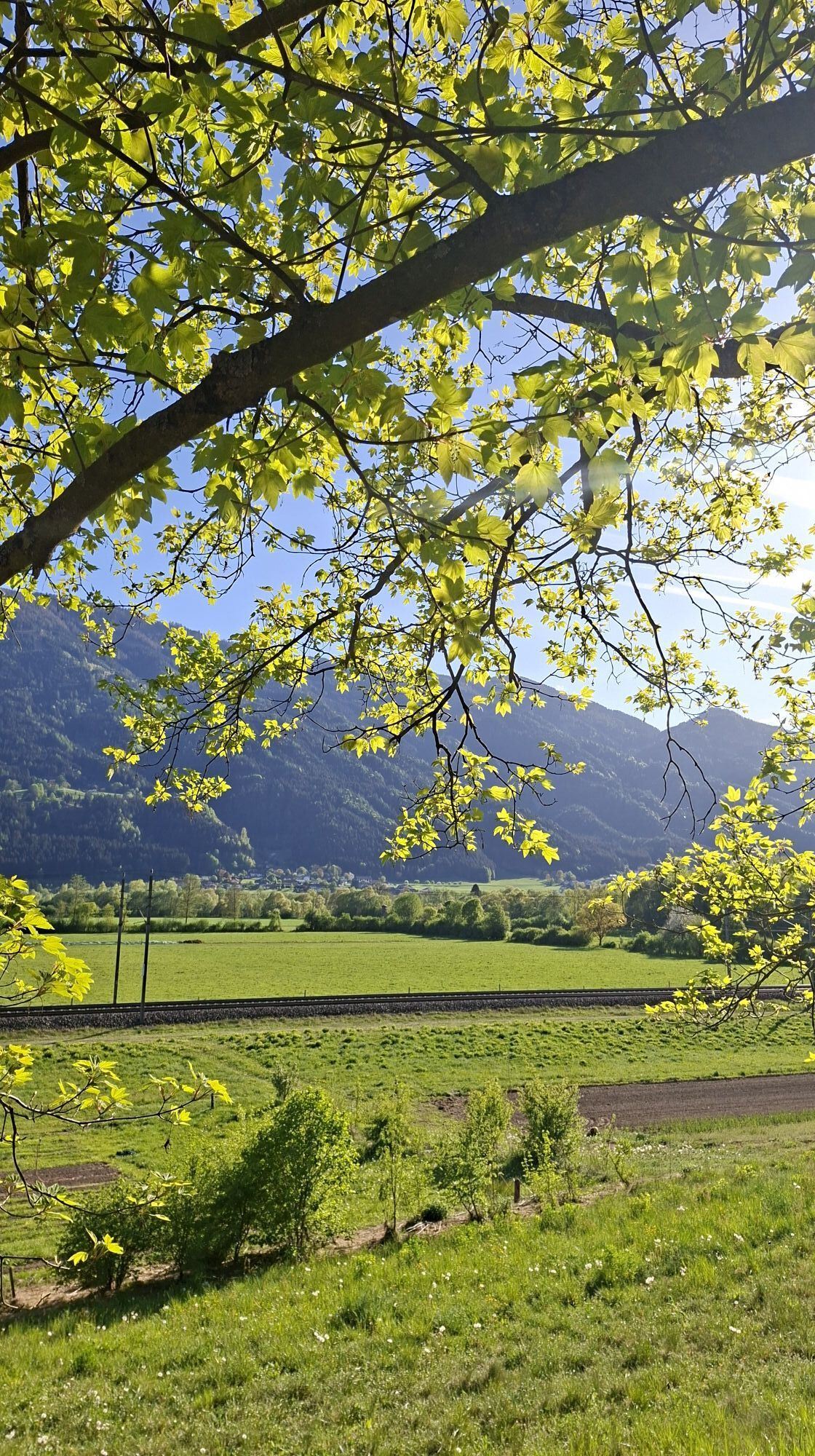
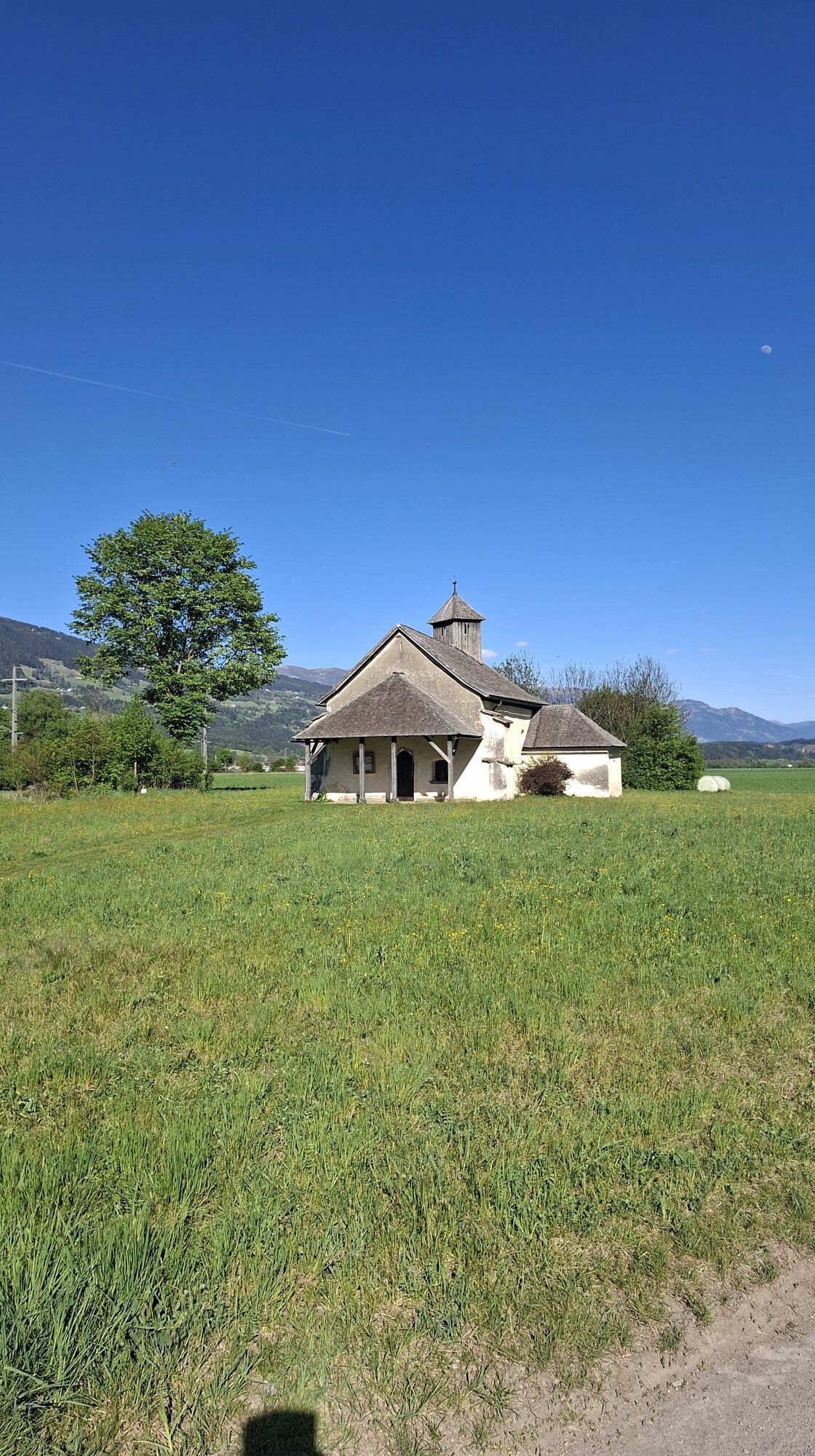
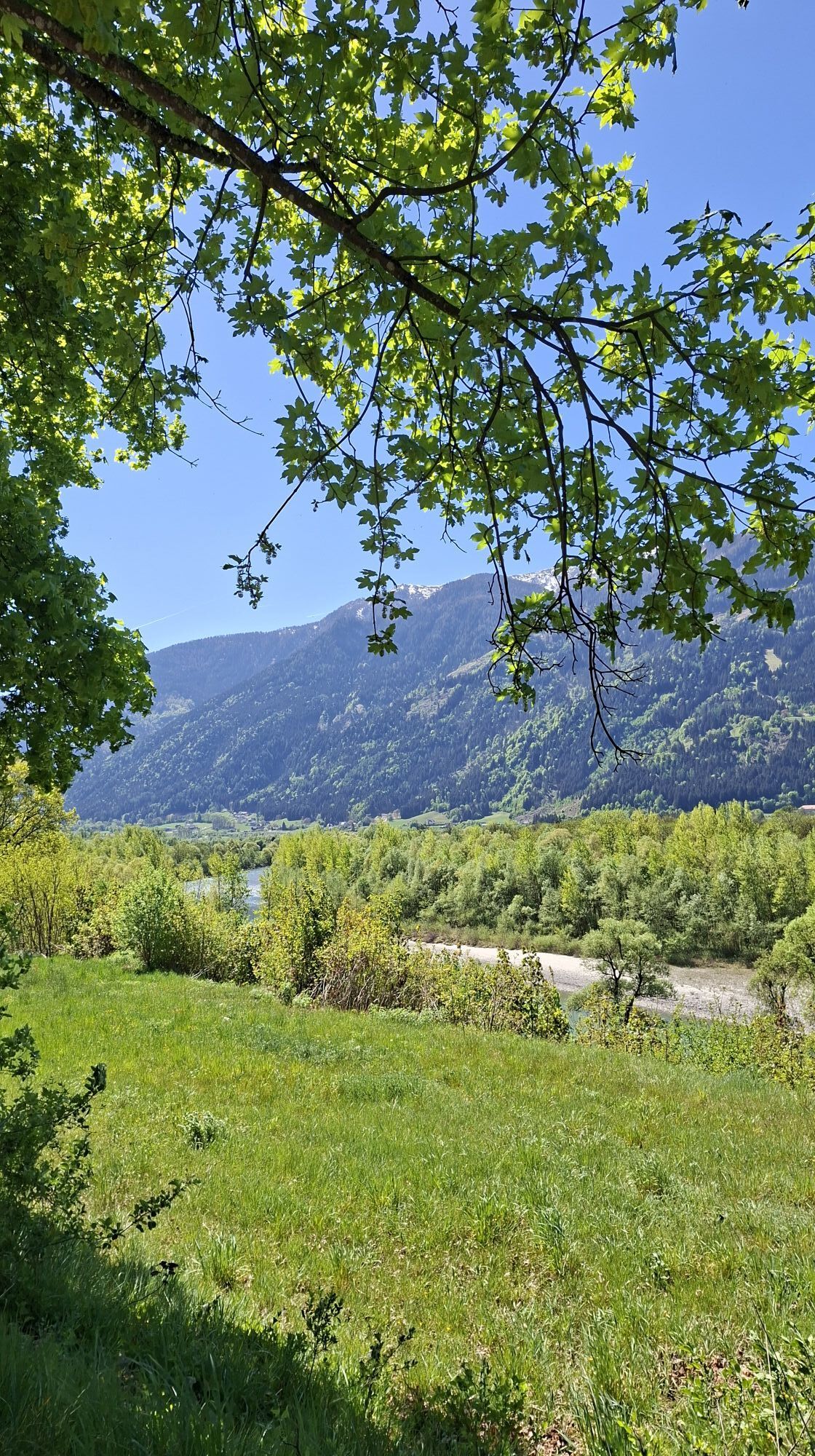
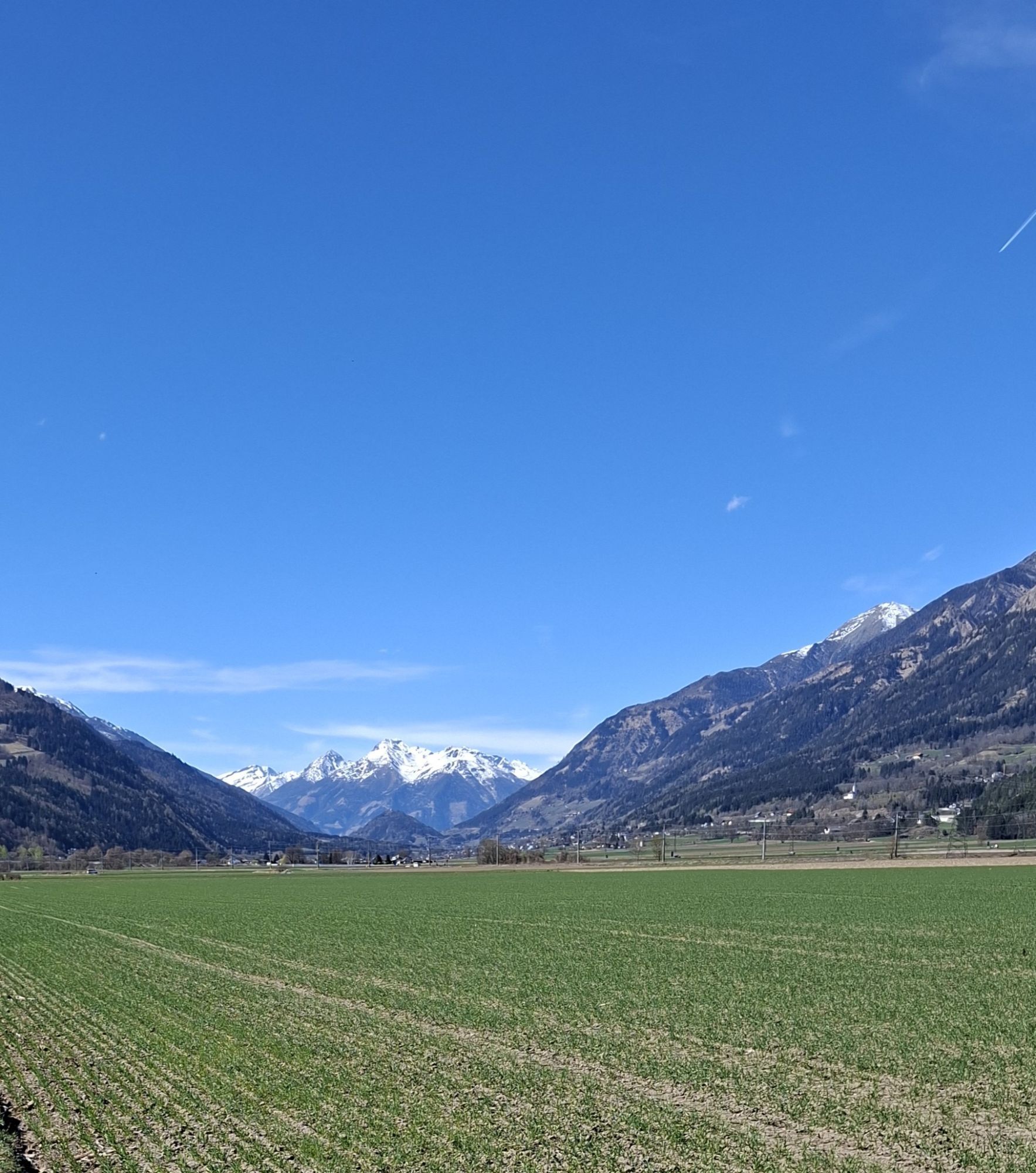
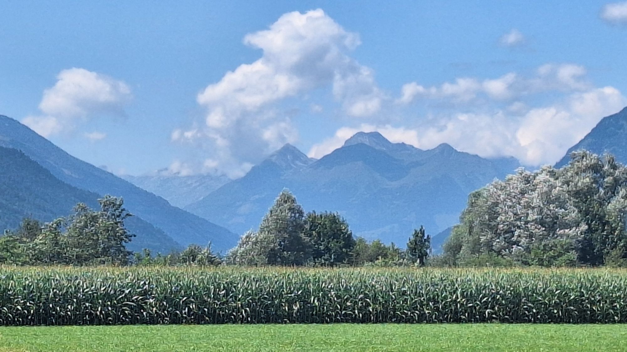
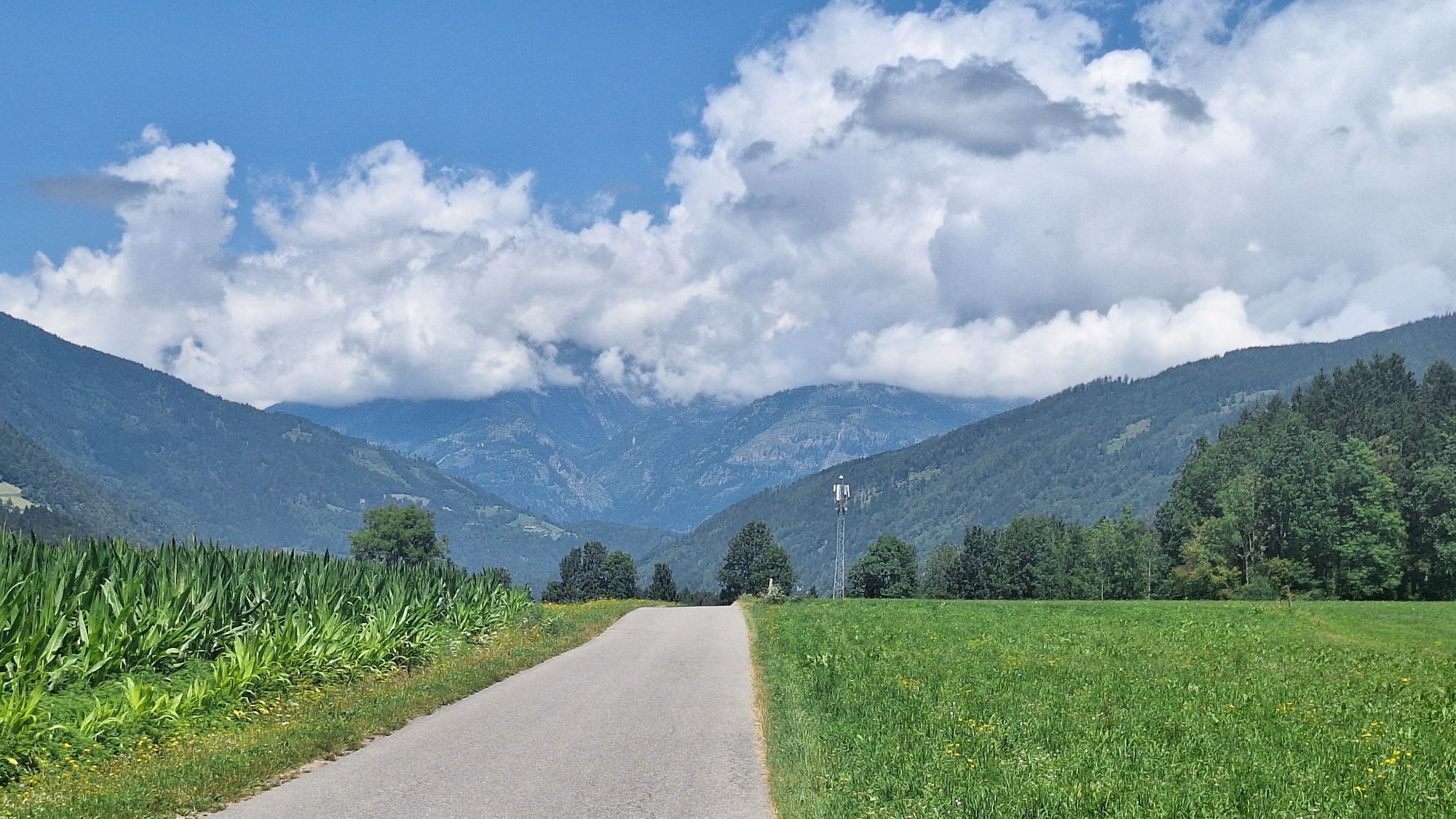
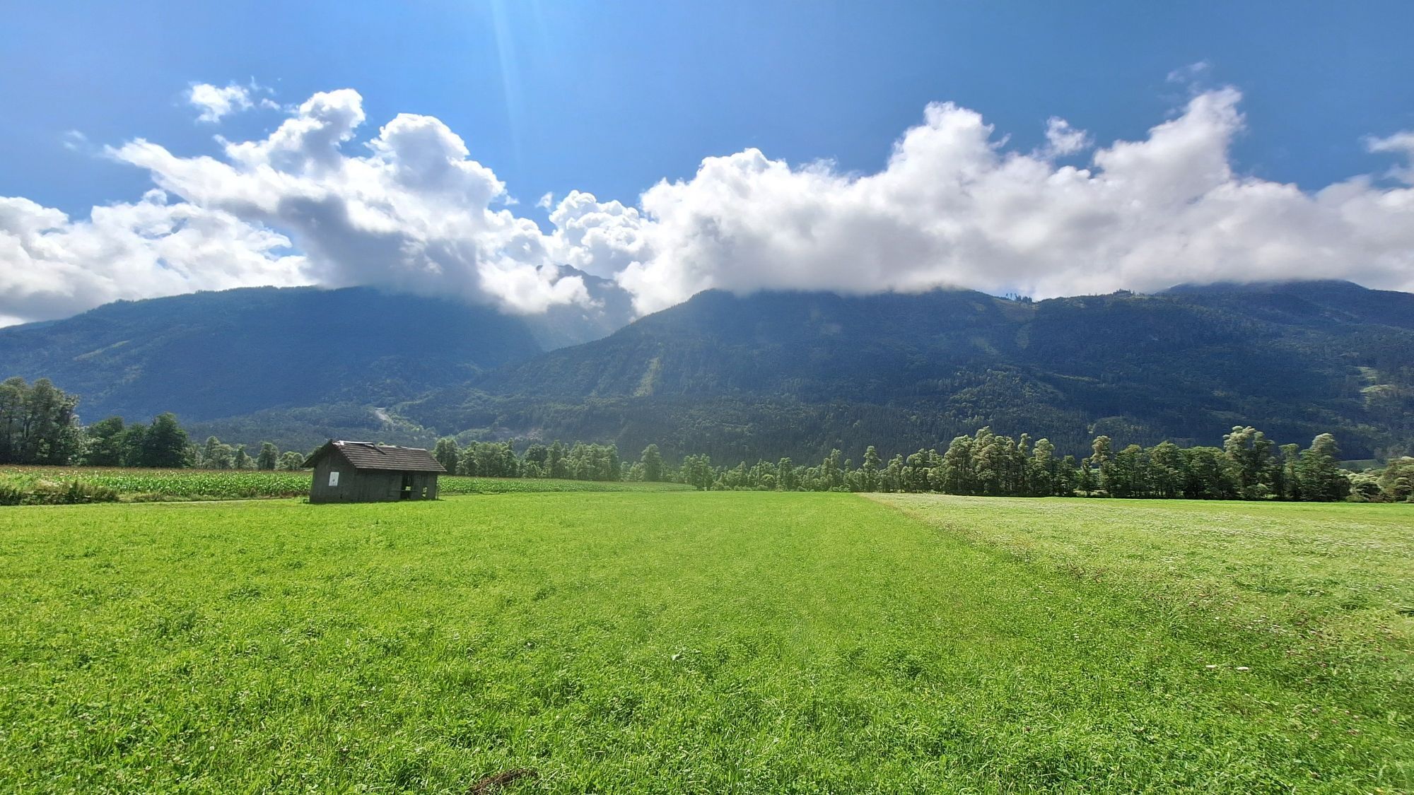
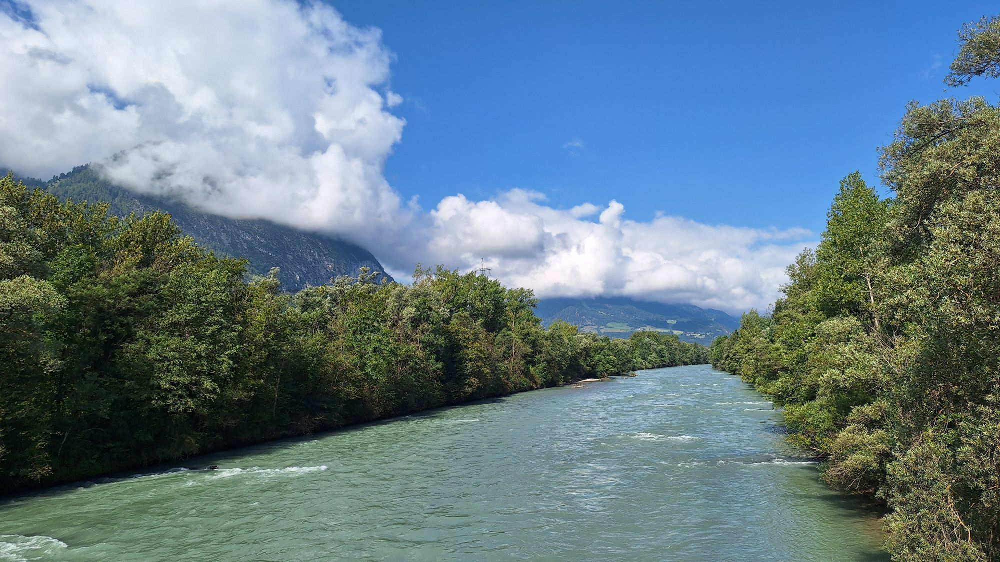
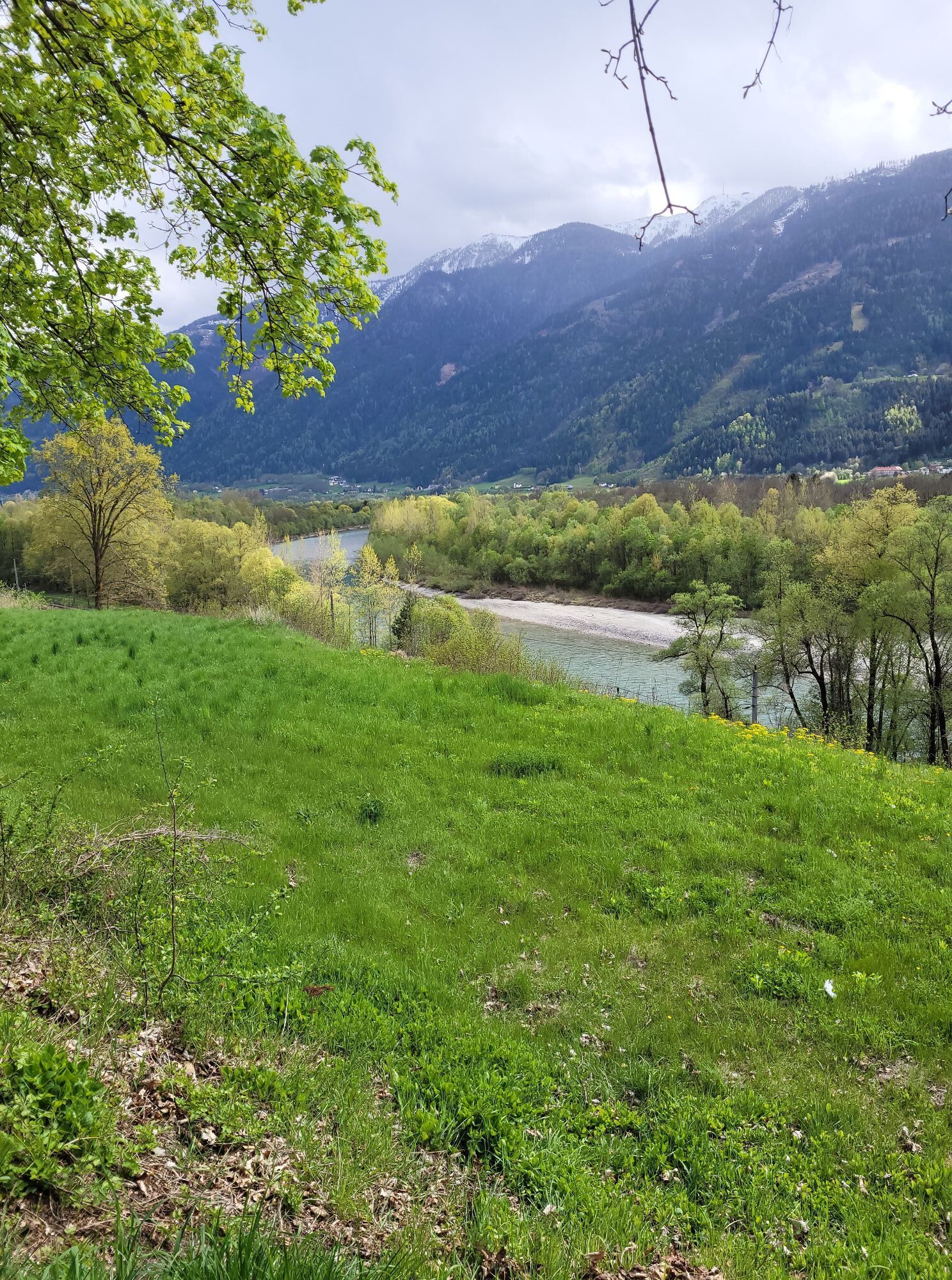
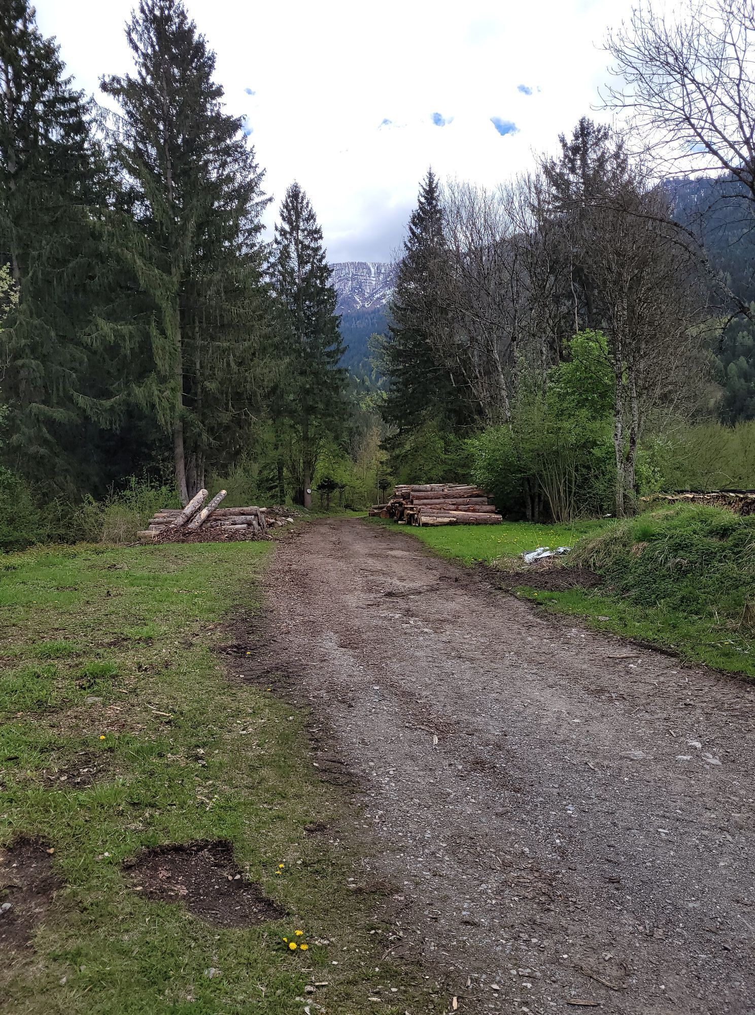
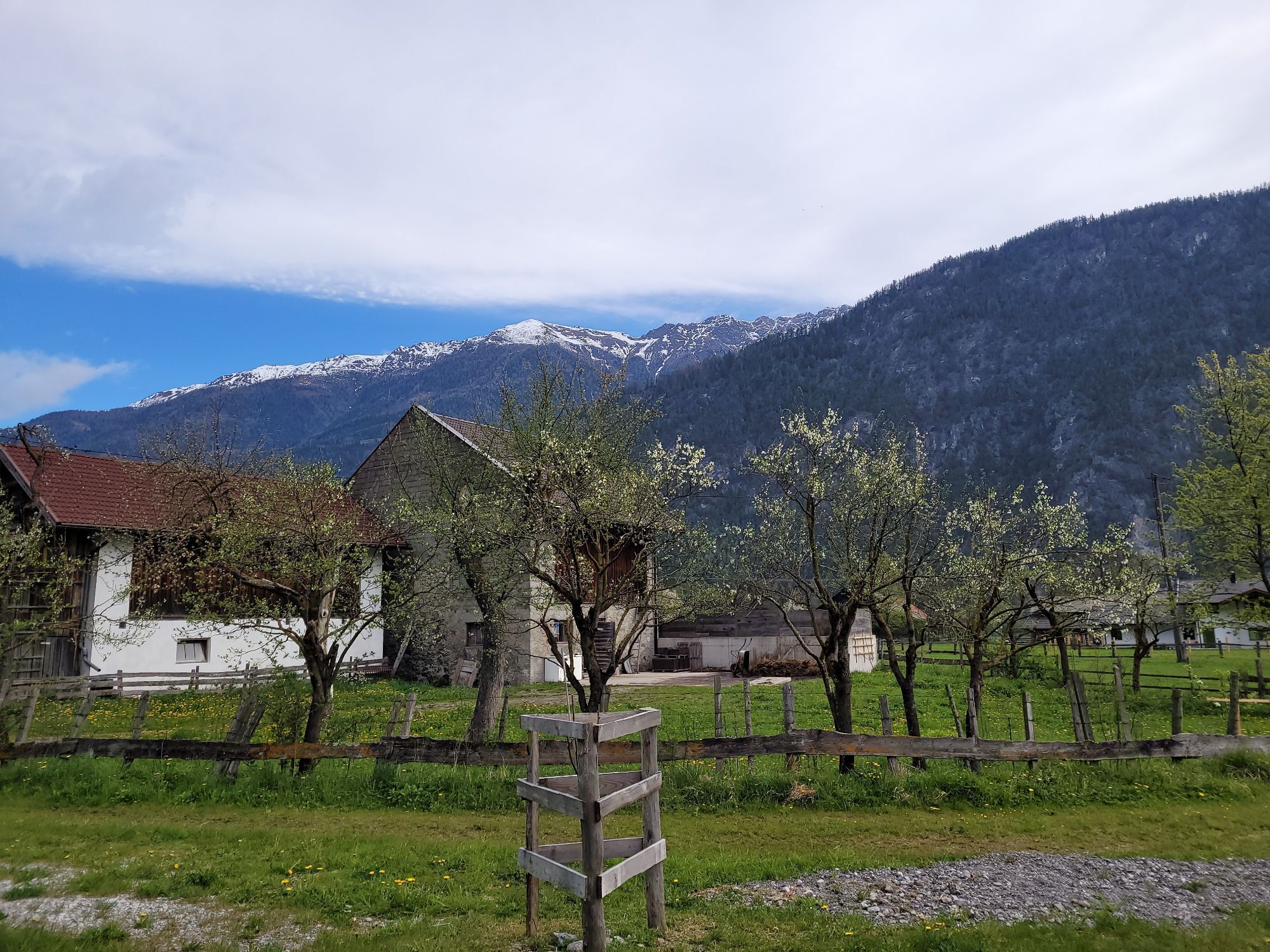
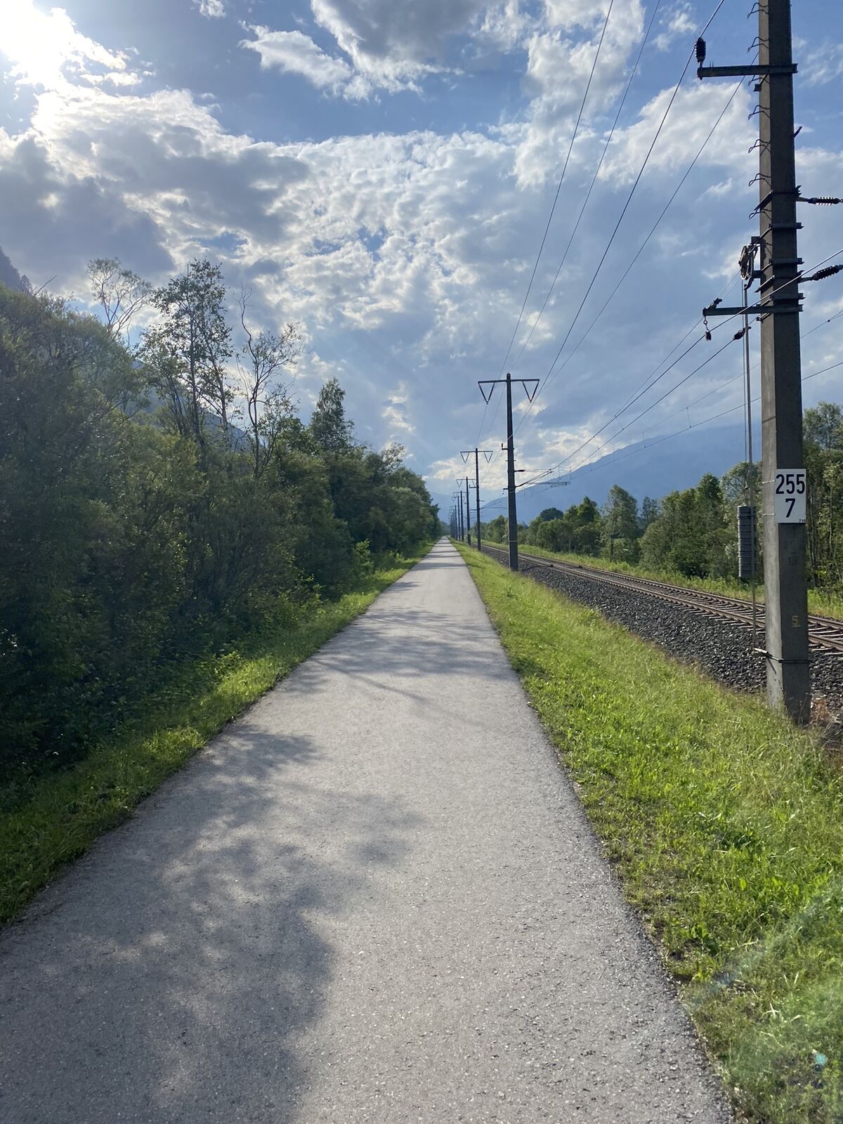
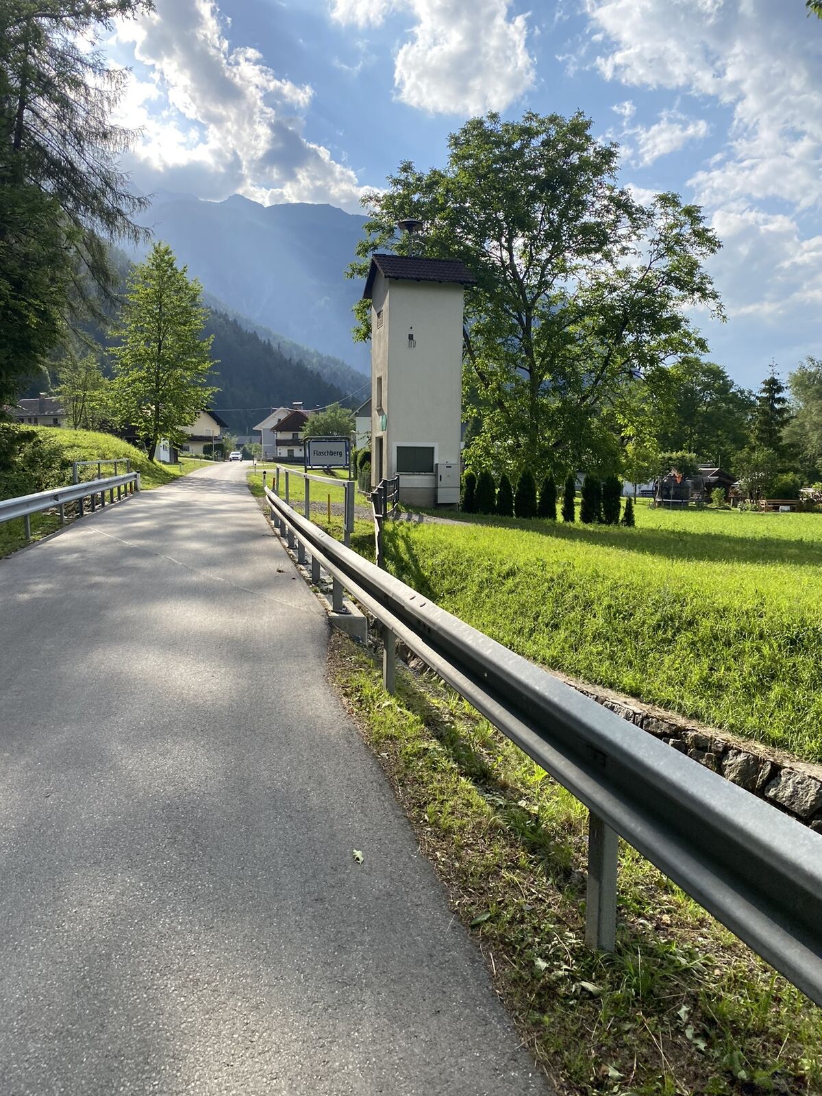

Anyone who has settled their holiday accommodation in the Oberdrautal holiday region has already made a good choice. From one of the cozy holiday hotels or cyclist guesthouses, the pleasure-oriented bike...
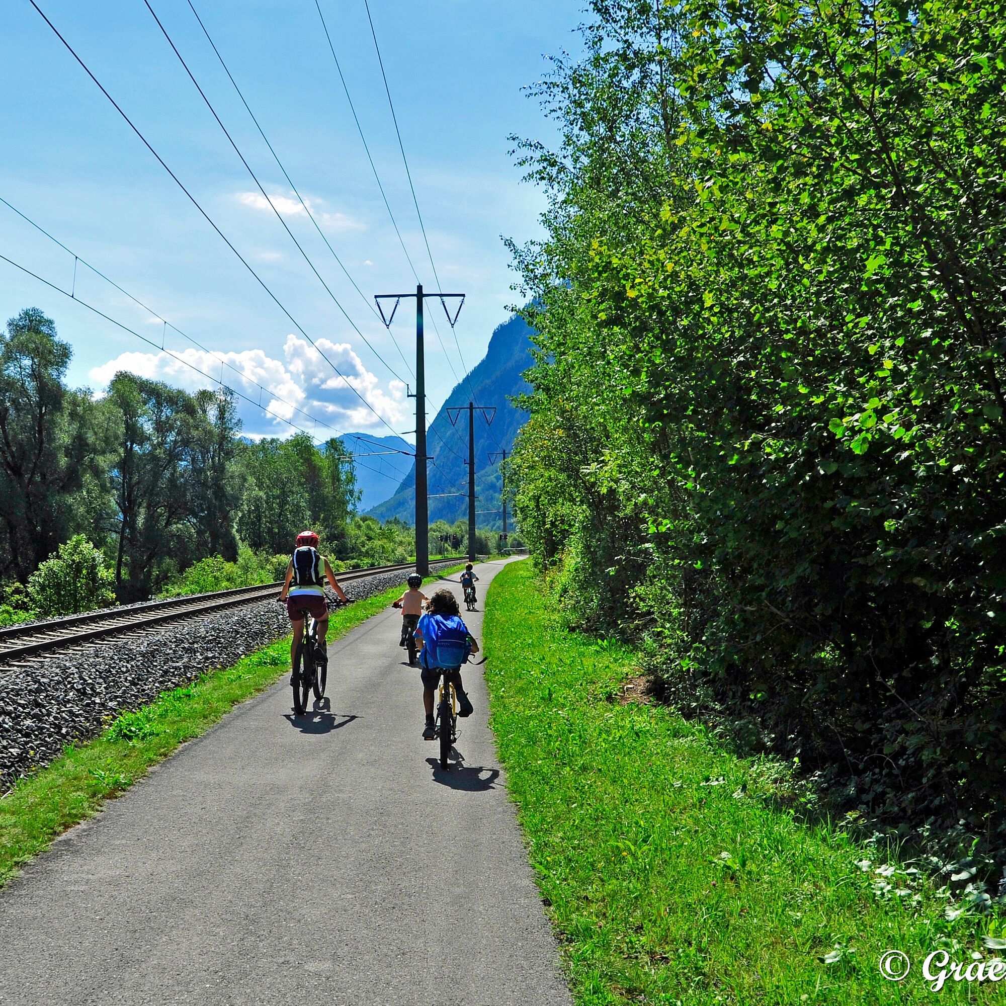
Anyone who has settled their holiday accommodation in the Oberdrautal holiday region has already made a good choice. From one of the cozy holiday hotels or cyclist guesthouses, the pleasure-oriented bike tourist can undertake the stages in the western and eastern sections of the Drau Cycle Path without having to change accommodation once. Only for the more easterly stages of the Drau Cycle Path from Spittal should new stage destinations be sought. Between the entry of R1 from East Tyrol to Carinthia through the Carinthian gate at Pirkach and the confluence of the Drau and Möll at Sachsenburg, there are a number of attractive resting places directly on the Drau or in the lovely market and farming villages. Those who also want to visit the small gorges in Oberdrauburg, Berg, or Greifenburg on the way will be richly rewarded with natural beauty.




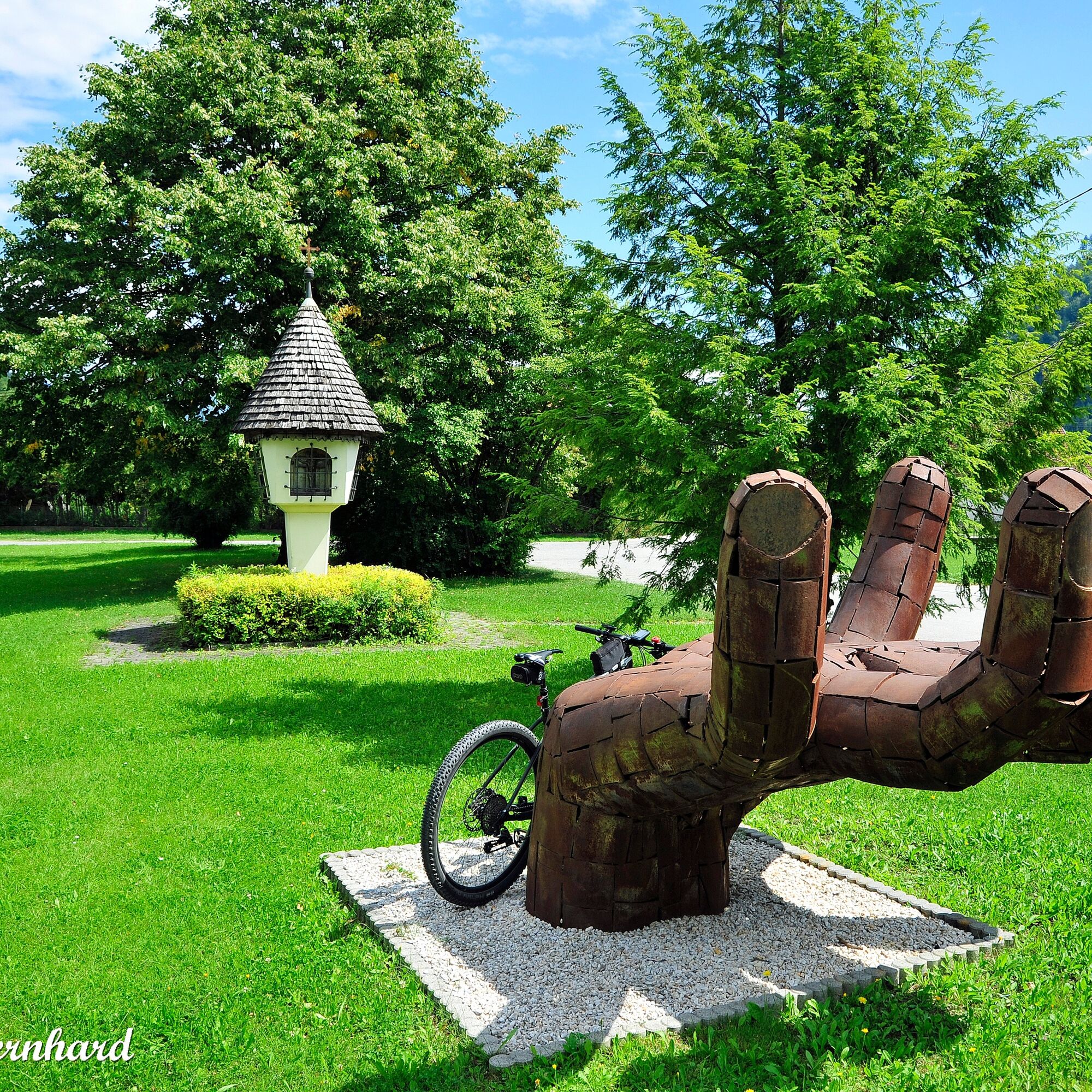

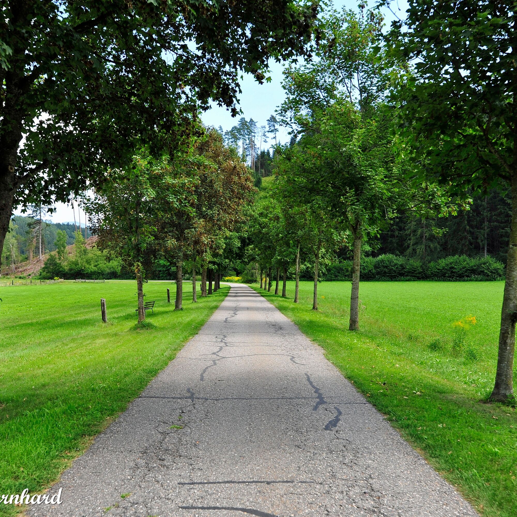

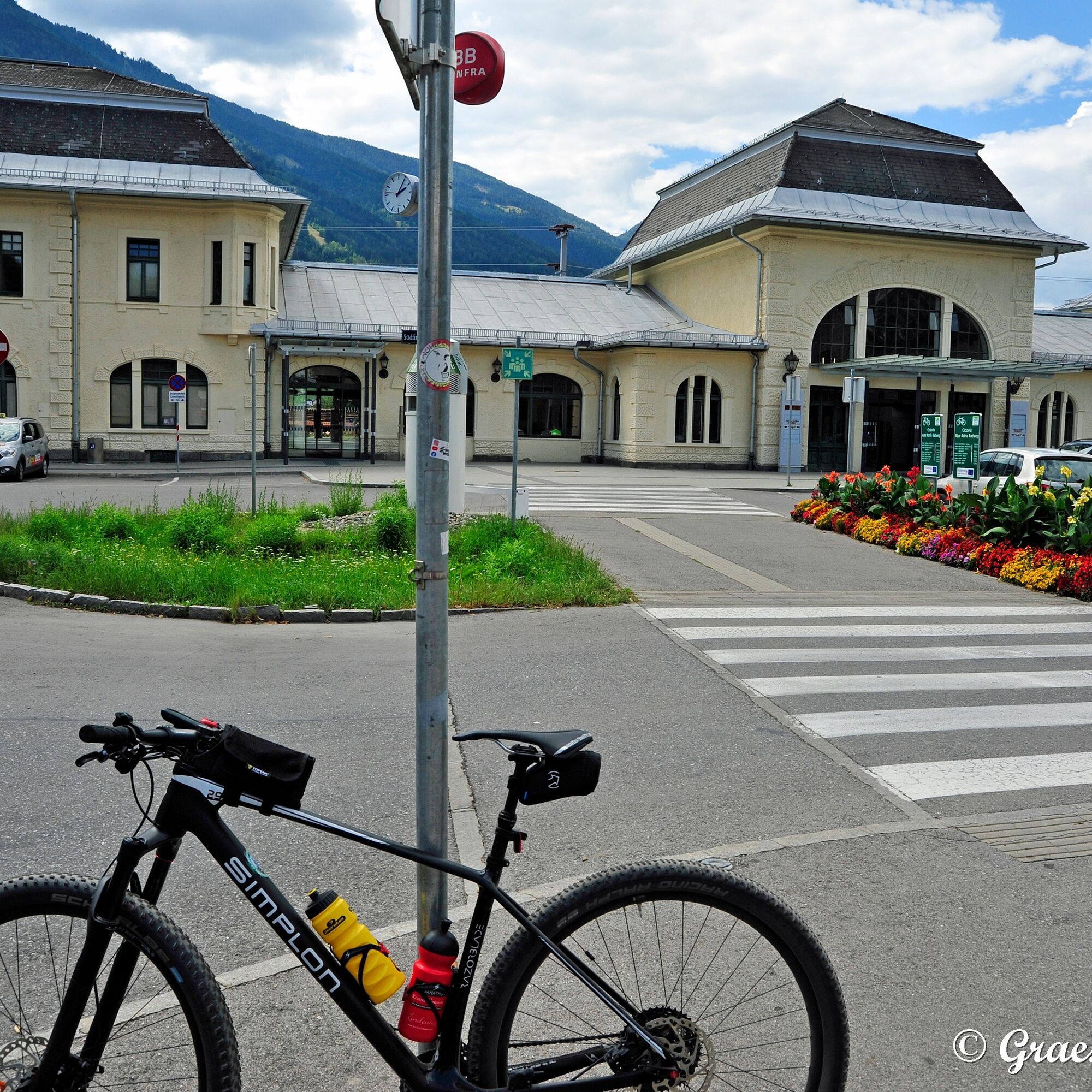

Destination Spittal an der Drau
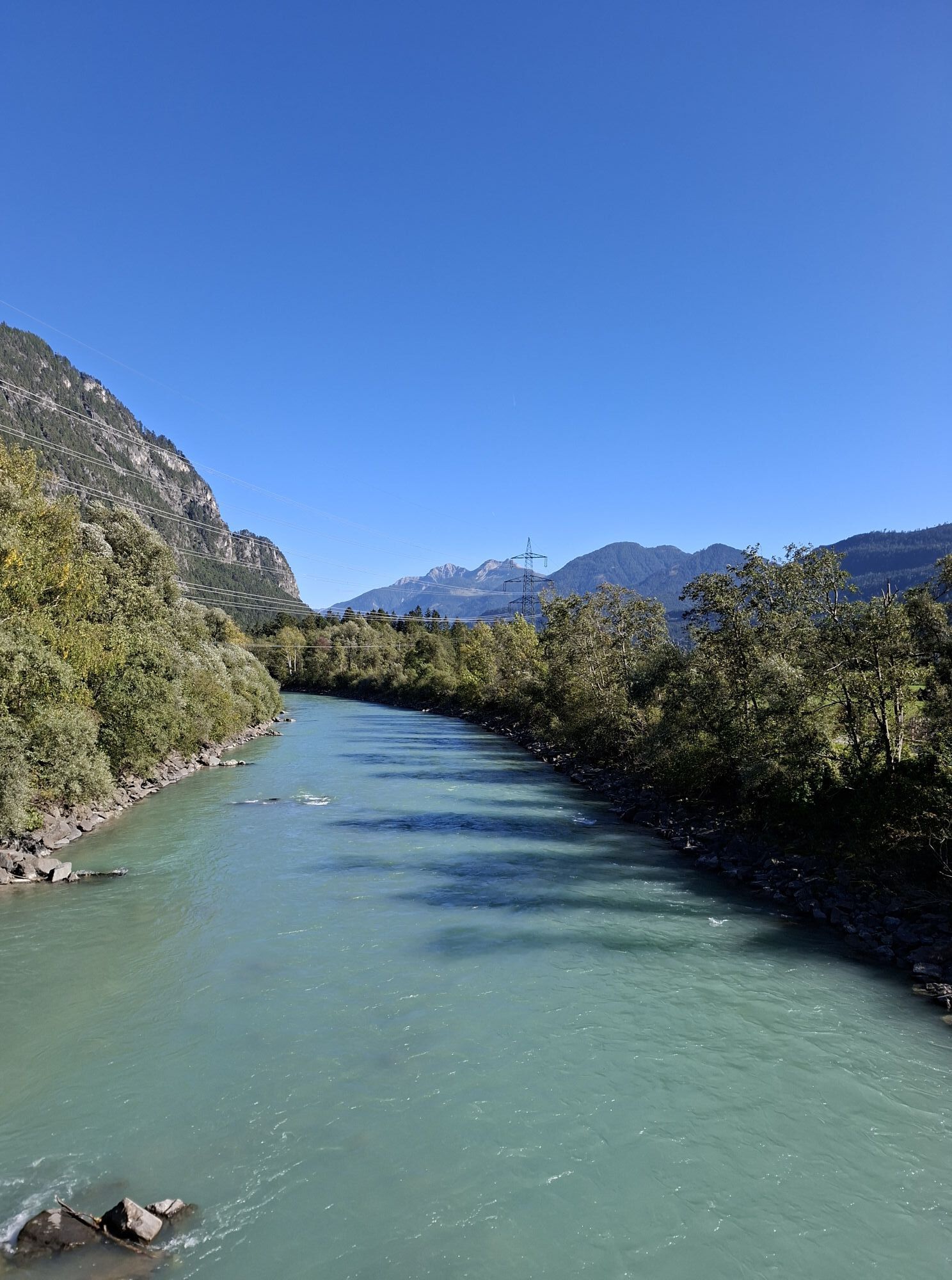
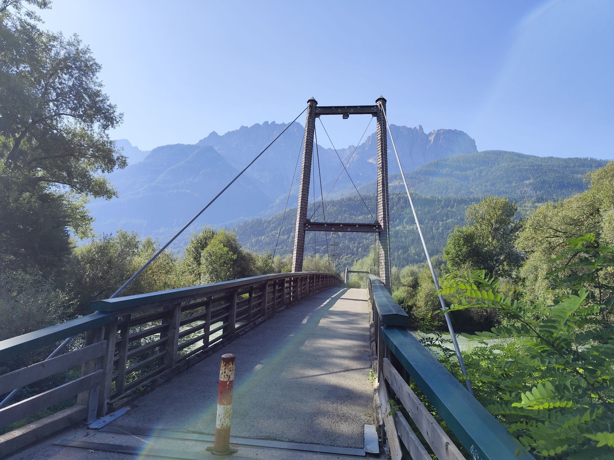
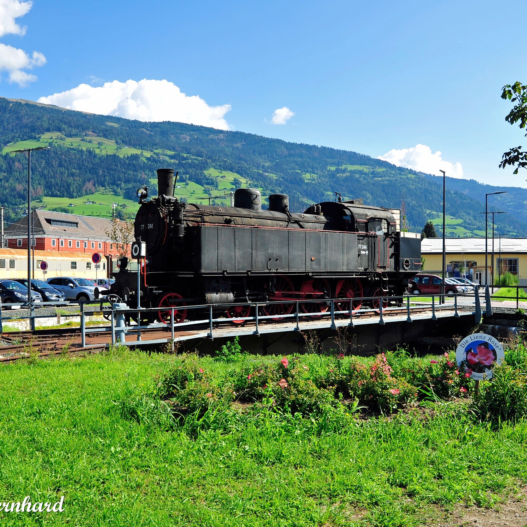
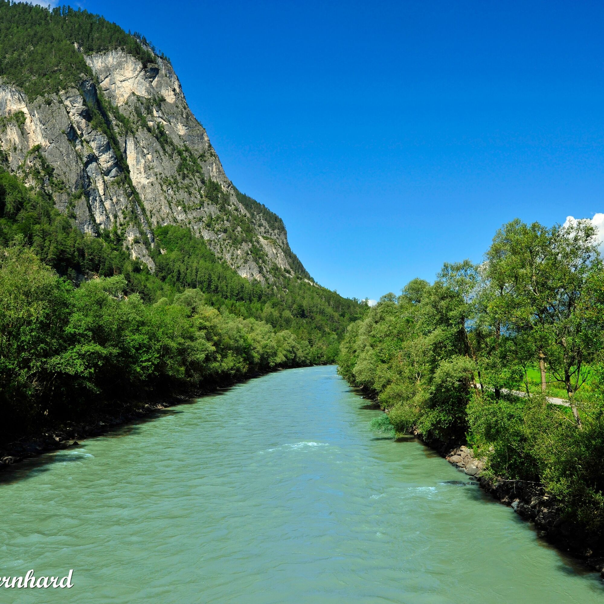
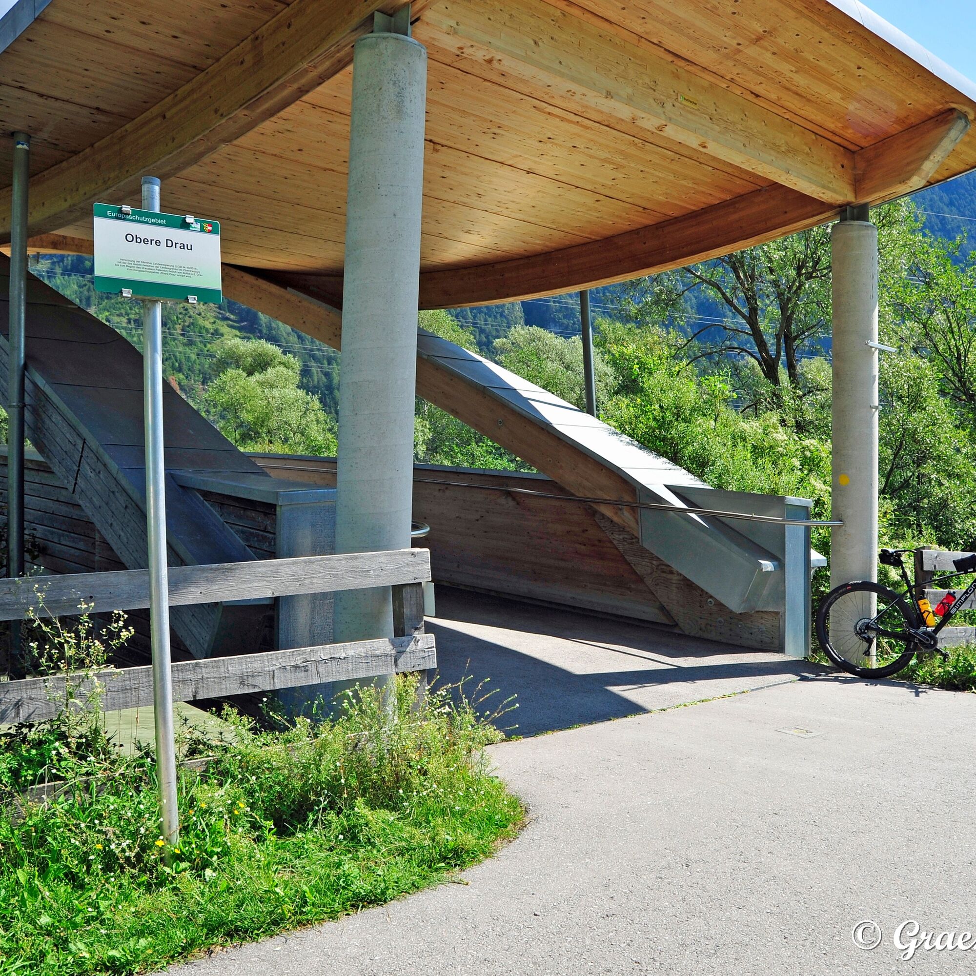
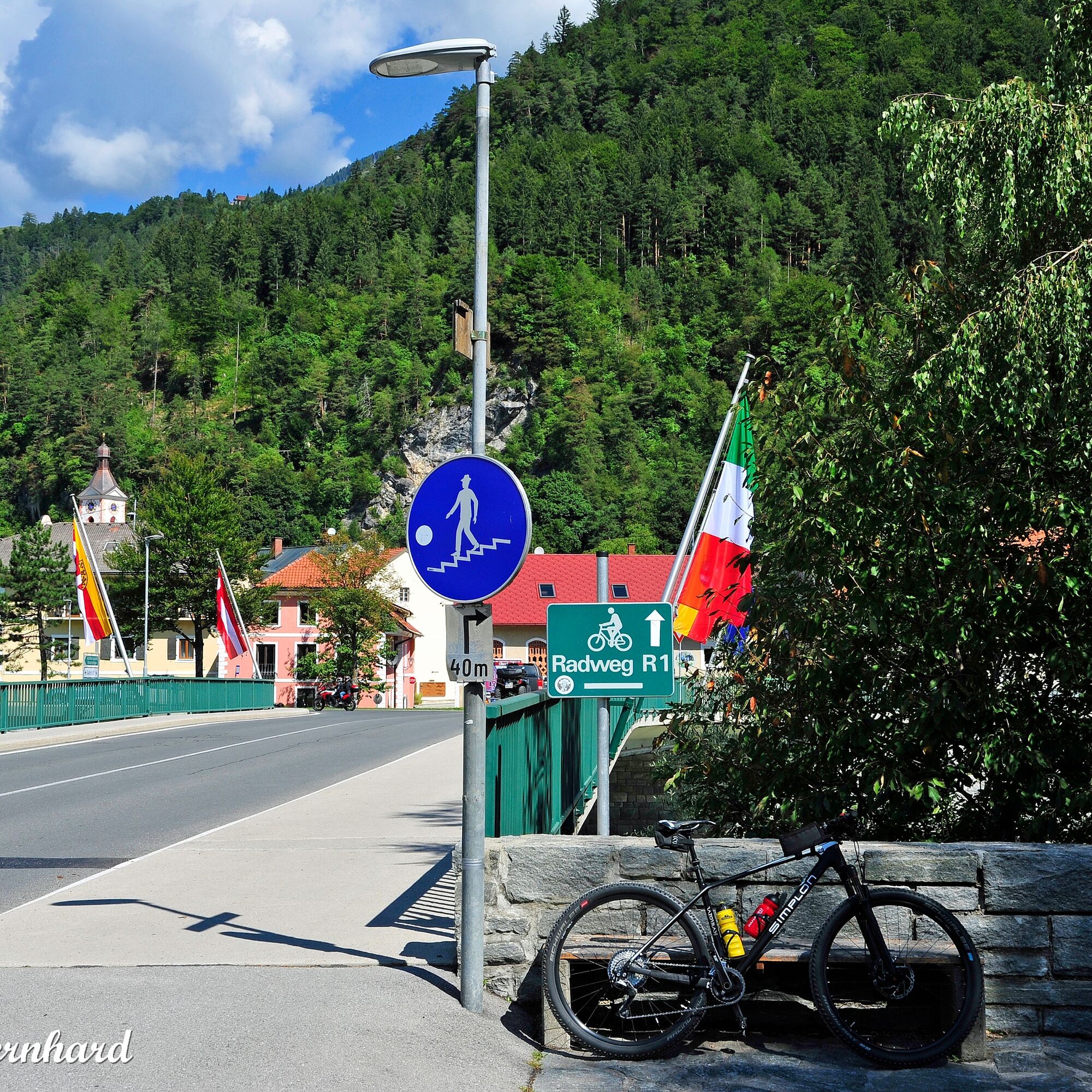
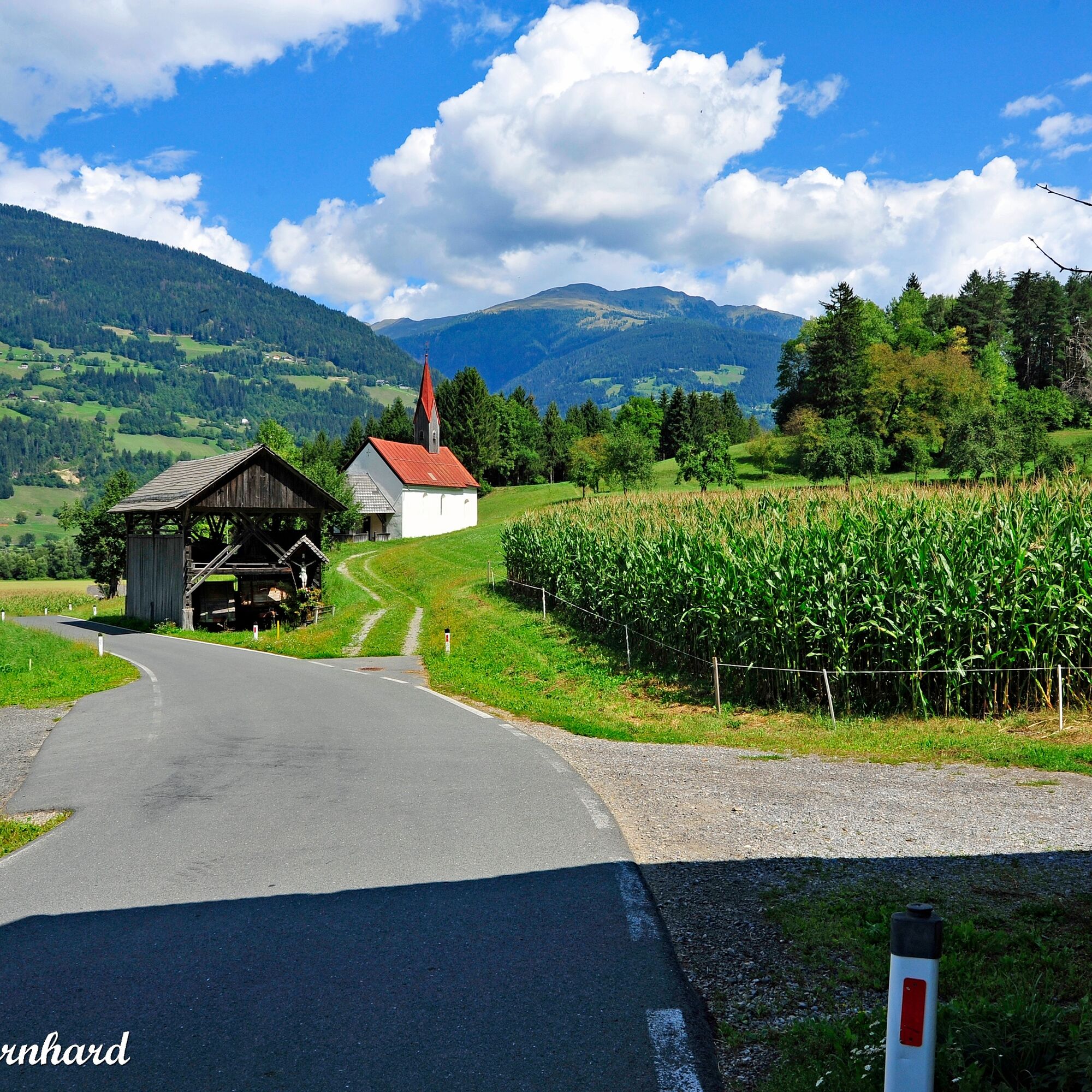
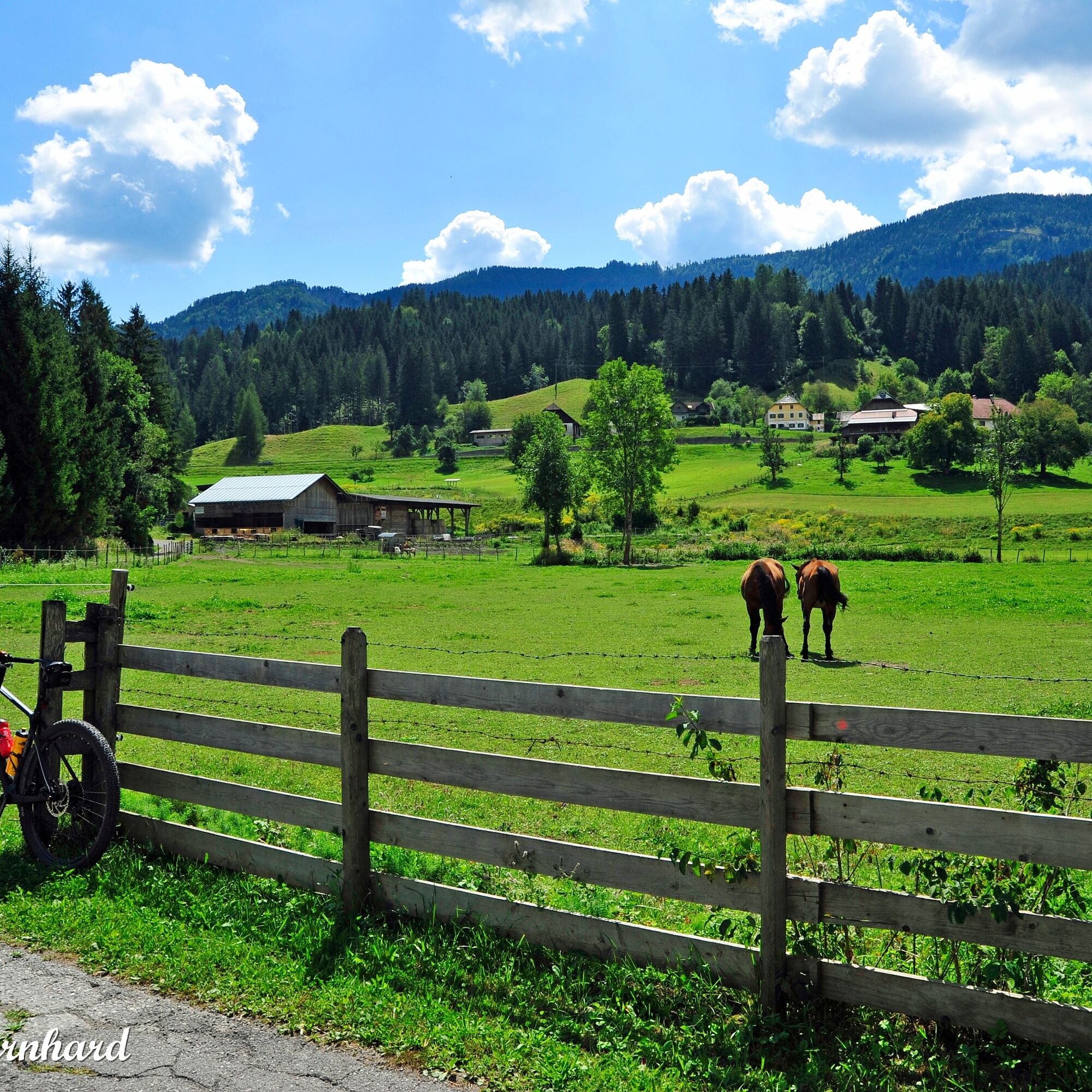
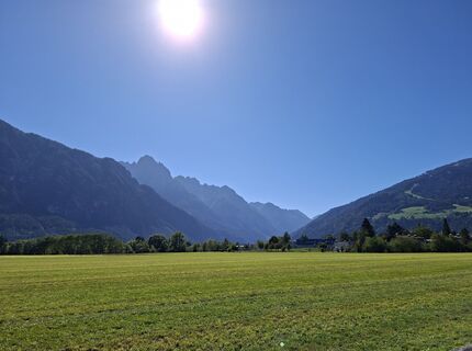
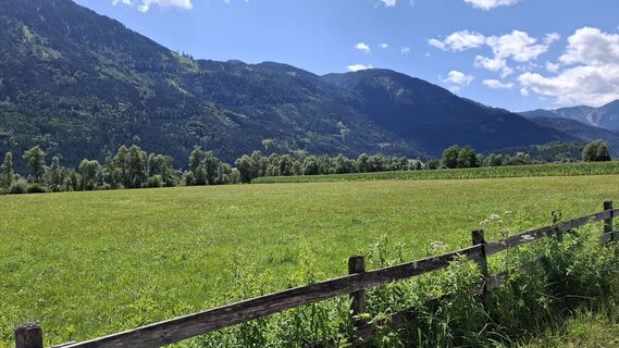
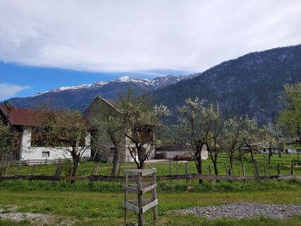
Following the westernmost section from Toblach to Lienz, the Drau Cycle Path leads along the Drau River up to the East Tyrol-Carinthia border, which is marked by a distinctive bridge over the Drau. From there, it continues via Pirkach into the historic market town of Oberdrauburg. Next, the cyclist follows the Drau with alternating riverbank sides. Those who want to visit the herb village on the sunny terrace of the Upper Drau Valley need to be somewhat fit but are rewarded with a unique herbal scent and views of many small herb gardens. Worth seeing: the Pfarrstadel Herb House in Irschen.
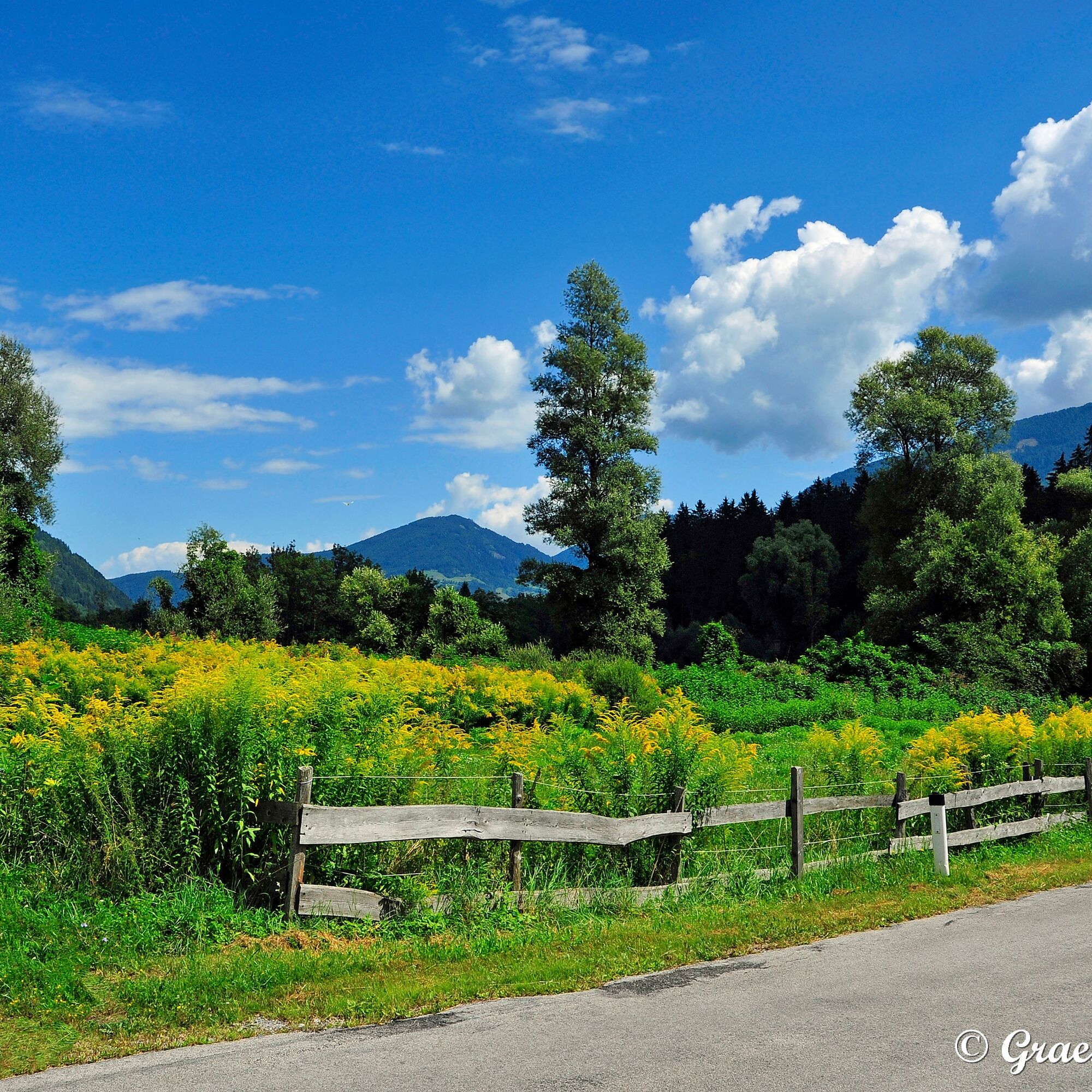
Then it continues through the health resort Dellach to the Drau Oasis and shaded orchid forests to Berg im Drautal. From there, the route stays on the southern side of the Drau River to Sachsenburg. Stops are worthwhile in Greifenburg (bathing lake and high ropes course), at the Radlacher Drau resting place near Steinfeld, and the final station of the varied route through the Upper Drau Valley is Spittal an der Drau near the station. Here begins the next stage onwards to Villach.
Tak
A good trekking bike is completely sufficient. Those traveling with an e-bike can handle the small inclines near Berg im Drautal more easily.
In the event of prolonged rainfall, the water level of the Drau can rise, which can occasionally cause flooding of the cycle path at the railway bridge in Oberdrauburg. A detour is available and signposted.
Arrival by car via B100 into the Oberdrautal or to the starting point in Innichen/South Tyrol.
By train to Oberdrauburg.
The train stations in the Upper Drau Valley are usually located very close to the cycle path.
Close to station
1
Detailed information about the stages/accommodation/dining offers Drau Cycle Path
Along the cycle path there are many places to stop and eat at the Drau Cycle Path hosts.
Unique across Europe is the herb village of Irschen between Oberdrauburg and Dellach; here you should stay a night and enjoy only the chirping of crickets and the scent of mountain herbs;



Kamery internetowe z trasy
Embergeralm - Almgasthof Fichtenheim
Embergeralm - Almgasthof Fichtenheim
Restaurant Goldalm
Restaurant Goldalm
Zettersfeld /Obergaimberg
Weissensee
Lienz/Zettersfeld
Lienz Hauptplatz
Tristachersee
Amlach - Naturrodelbahn Lienzer - Dolomiten
Restaurant Goldalm
Dellach im Drautal
Greifenburg Badesee
Ederplan
Weissensee Schifffahrt
Marktgemeinde Oberdrauburg
Kabeg LKH-Laas
Rad und Frühstückspension Taurer
Lienz Faschingalm
Seeblickweg
Dolomitenhütte
Seebrücke Weissensee
Seebrücke Weissensee
Strandhotel am Weissensee
Berg im Drautal - Hotel Glocknerhof
Berg im Drautal - Hotel Glocknerhof
Berg im Drautal - Hotel Glocknerhof
Berg im Drautal - Hotel Glocknerhof
Berg im Drautal - Hotel Glocknerhof
Berg im Drautal - Hotel Glocknerhof
Berg im Drautal - Hotel Glocknerhof
Berg im Drautal - Hotel Glocknerhof
Lavant - Dolomitengolf
Lavant - Dolomitengolf
Lavant - Dolomitengolf
Rad und Frühstückspension Taurer
Goldeck - 8er EUB Bergstation
Drautal Straße
Plöckenpass Straße - Gailbergsattel

Aktywności na trasie

Lienz, Tirol/Österreich
23.09.2026 – E-BikeLienz, Tirol/Österreich
22.09.2026 – E-BikeLienz, Tirol/Österreich
19.09.2026 – E-MTBDrauradweg 2: Lienz - Steinfeld
24.08.2026 – Mountainbike
Patriasdorf, Tirol/Österreich
24.08.2026 – Wycieczki górskieTristach, Tirol/Österreich
31.07.2026 – E-Bike
Oberdrauburg - Spittal an der Drau; Oberes Drautal
30.07.2026 – Jazda na rowerzeLienz-Sachsenburg_24-07-2026
24.07.2026 – E-Bike
Amlach, Tirol/Österreich
22.07.2026 – Jazda na rowerze
Berg im Drautal, Kärnten/Österreich
25.06.2026 – Jazda na rowerze
Patriasdorf, Tirol/Österreich
17.08.2025 – E-BikeLienz, Tirol/Österreich
14.08.2025 – Jazda na rowerzeLienz, Tirol/Österreich
06.08.2025 – Mountainbike
Lienz, Tirol/Österreich
29.04.2023 – E-MTB
Popularne wycieczki w okolicy
- 4,7
W5 - Naggler Alm Round Weissensee
średniMountainbike 15,8 km - 4,9
Weissensee Ost- nach Westufer
światłoWędrówka 10,2 km - 4,8
Weiße Wand - Alm hinterm Brunn
Mountainbike 22,1 km - 4,3
Emberger Alm - Hochtristen
średniWędrówka 9,50 km - 4,4
WY_W2 hike to the Alm behind the Brunn
średniWędrówka zimą 3,04 km - 4,9
Weißenbachklamm
ciężkiWędrówka 5,80 km - 4,8
RW_W4 Mittagsnock - Naggleralm - retour über Steig
średniWędrówka 10,6 km - 5,0
Emberger Alm 3er: Nassfeld, H.Gränten, Knoten
średniWędrówka 11,6 km - 4,8
LS_W7 "Promenade Path"
światłoBieganie 6,28 km - 4,7
Kohlröslhütte
średniWędrówka 22,7 km
Wędrówki i tropienie


Nie przegap ofert i inspiracji na następne wakacje
Twój adres e-mail została dodana do listy mailingowej.





