


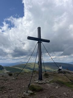
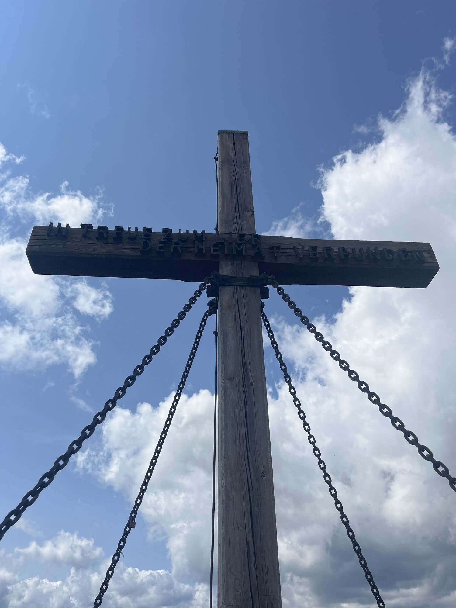
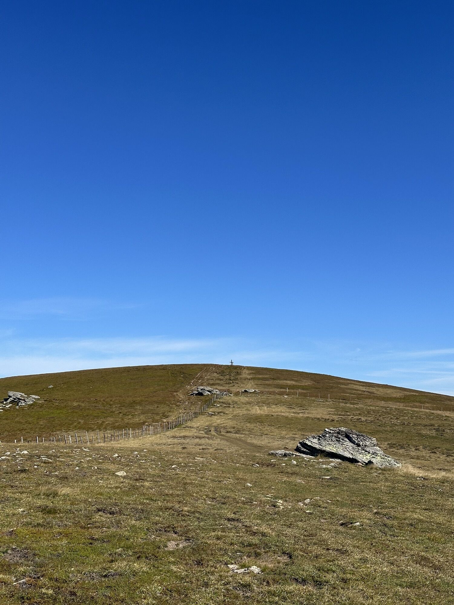
Saualpe: summit route to the Ladinger Spitz
Zdjęcia naszych użytkowników
-
 © 〽️anni.bbUtworzono dnia 21.02.2026
 -

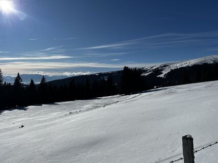
 © rpitzUtworzono dnia 08.02.2026
 -
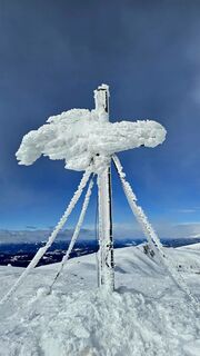
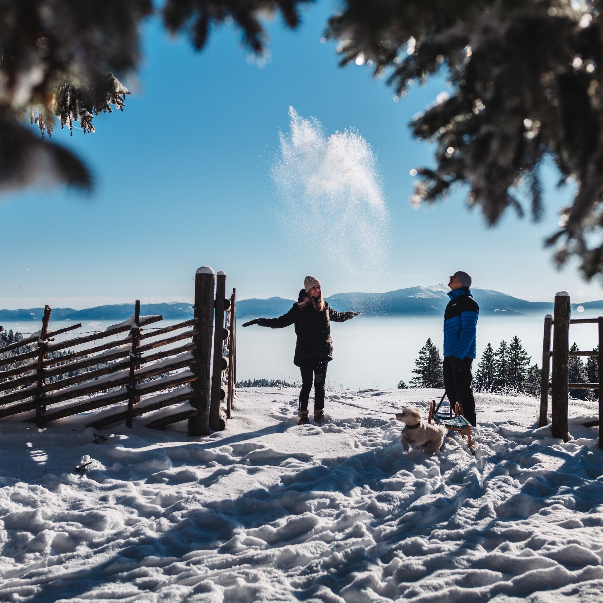
 © Moritz KitzmüllerUtworzono dnia 11.01.2026
 -

 © brimoUtworzono dnia 16.02.2023
 -
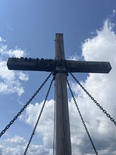 © Franz IlkerlUtworzono dnia 25.07.2024
 -
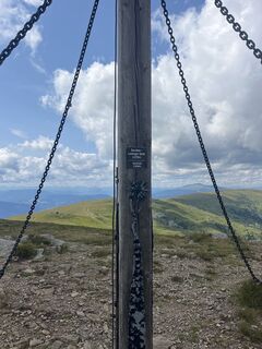 © Franz IlkerlUtworzono dnia 25.07.2024
 -
 © Franz IlkerlUtworzono dnia 25.07.2024
 -
 © Mani SUtworzono dnia 26.08.2025
 -

 © Heinz HerbstUtworzono dnia 28.06.2025
 -
 © Alois-Gerhard MairitschUtworzono dnia 28.06.2025
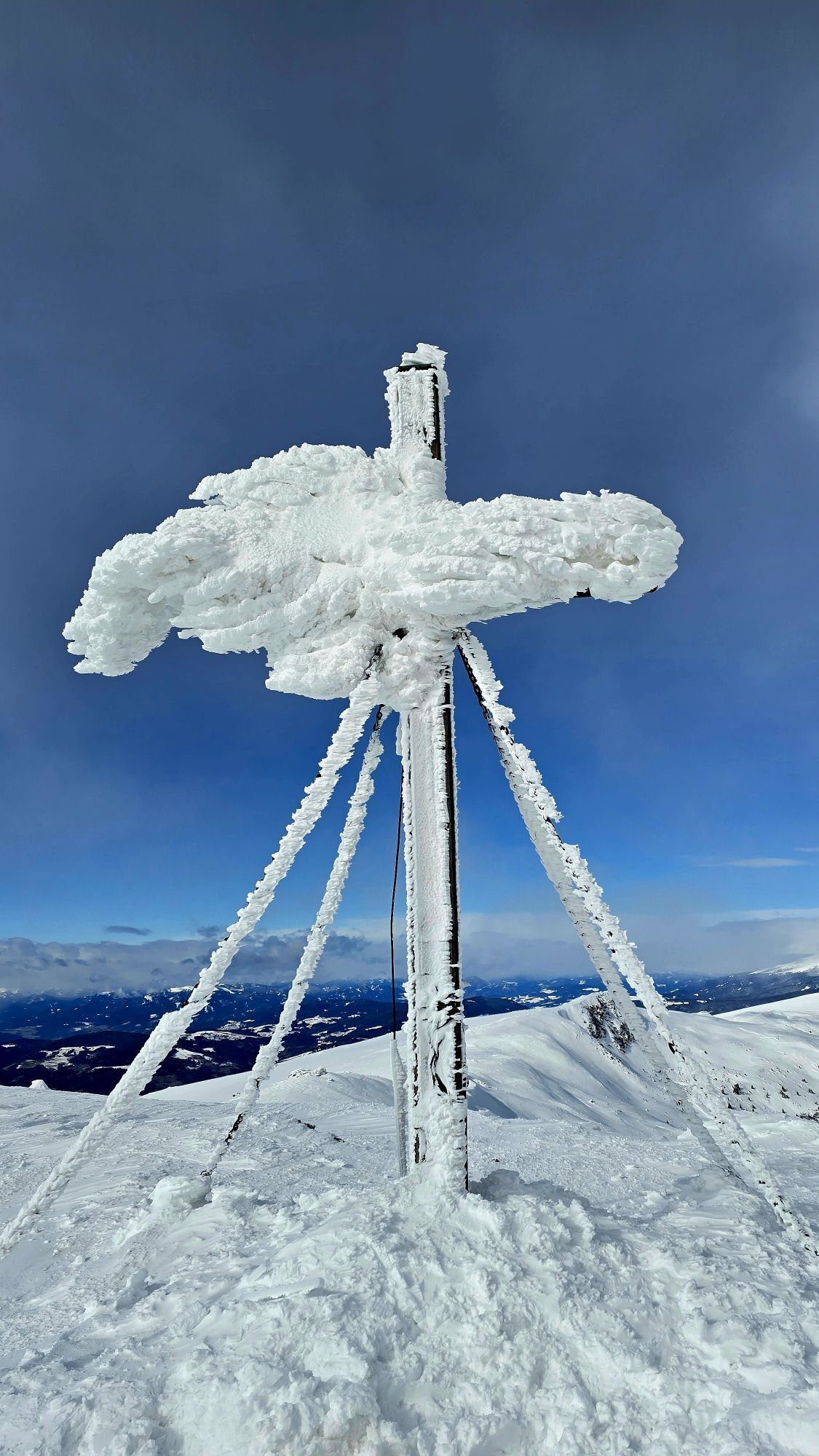

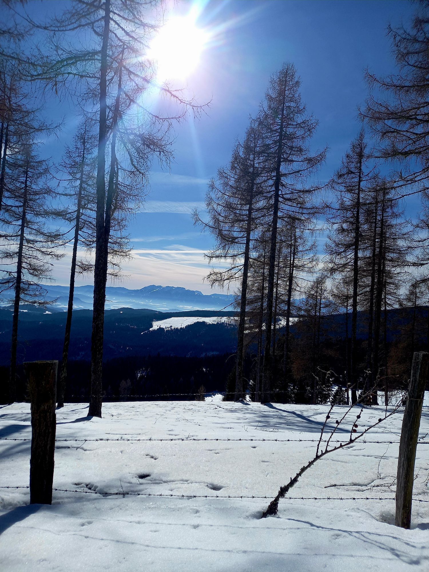


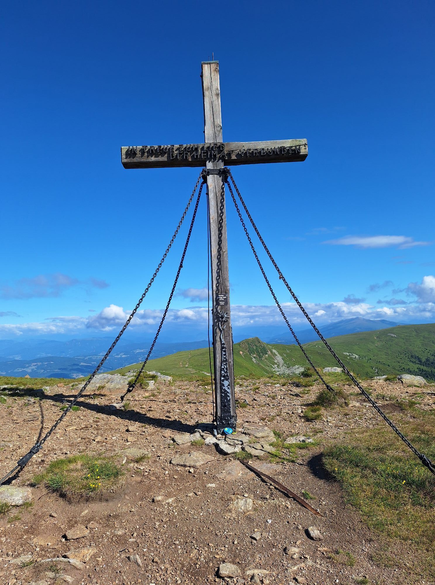
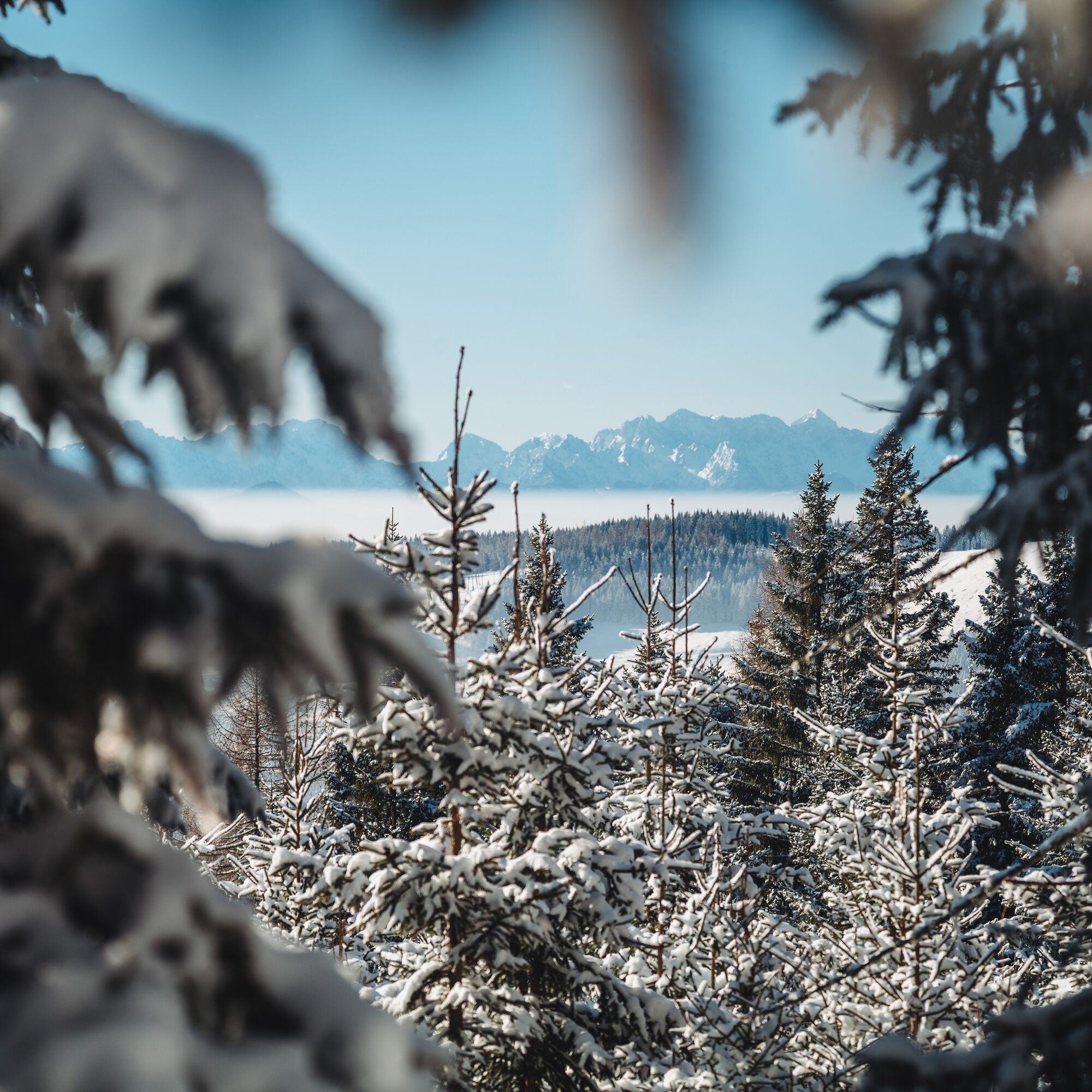
The view from the summit is breathtaking and offers a panoramic view not only of the entire Lavanttal. To the north, the Zirbitzkogel, to the east the Packalpe, to the southeast the Koralpe, to the south...
The view from the summit is breathtaking and offers a panoramic view not only of the entire Lavanttal. To the north, the Zirbitzkogel, to the east the Packalpe, to the southeast the Koralpe, to the south the Karawanken/Julian Alps, and in good weather one can see in the west as far as the Schladminger and Wölzer Tauern.
Attention: Ascents and descents are at your own risk and responsibility. Avoid damage to plants and soil cover.

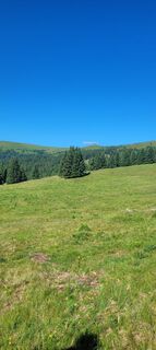
This ski route is also suitable for beginners since the ascent is not very steep. Of course, you should be able to ski well for the descent. From the Gießlhütte, you ascend via path no. 334 to the Offnerhütte at 1,660 m above sea level. From there, continue via Weichensteinerofen and then right along the Ladinger Graben to the Große Saualpe or Ladinger Spitz (2079 m). The descent is like the ascent but can be chosen freely depending on snow conditions and skills.
There are several variants for the ascent leading to Ladinger Spitz. Good places to stop are, besides the Gießlhütte (with overnight accommodation), also the Zechhütte in winter.
Tak
Tak
A checklist for ski tours
Clothing:
Functional underwear Spare clothes for changing Fleece jacket or pullover Ski touring socks Ski touring pants Wind- and waterproof jacket Thin gloves (for ascending) Thick gloves (at the summit and for the descent) Hat Sun protection Ski touring bootsEquipment:
Ski touring skis Climbing skins Telescopic ski poles Optional crampons Backpack Sunglasses Ski helmet Ski goggles Sunscreen Snack Beverage (about 1½ liters) Mobile phone (with charged battery) Map Altimeter Compass Optional GPS device Skin spray (if skins do not stick anymore, tape as a last resort) HeadlampSafety:
Transceiver (LVS device) Avalanche shovel Avalanche probe First aid kit + rescue blanket Bivouac sackSki touring and freeriding: 10 recommendations from the Alpine Club
Healthy heading to the mountains: Ski touring is an endurance sport. The valuable stress stimuli for the heart and circulation require health and good self-assessment. Avoid time pressure and choose a pace so that no one in your group runs out of breath. Pay attention to energy reserves for the descent.Careful planning: Maps, guide literature, internet, and experts inform about the length of the route, altitude difference, difficulty, and current conditions. Special attention is due to the weather report, as strong wind and poor visibility greatly increase the risk of accidents.
Study avalanche report: Inform yourself thoroughly about the current danger level (European avalanche danger scale in 5 levels) before starting the tour. Pay special attention to the information about danger spots (where is it dangerous today?) and the main dangers (what is the main threat today?).
Complete equipment: Adapt your equipment to the winter conditions and keep your backpack light. For avalanche emergencies, a transceiver, shovel, and probe are standard, as well as a first aid kit, bivouac sack, and mobile phone. An airbag system increases survival chances.
Regular hydration breaks: Liquid, energy, and breaks are necessary to maintain performance and concentration. Hot, isotonic drinks are ideal thirst quenchers and warmers. Easily digestible foods like muesli bars, dried fruit, and cookies satisfy small hunger on the way.
Weigh avalanche risk: When recognizing avalanche danger, humans have limited capabilities. Base your decisions on strategic methods of risk assessment ("Stop or Go") and learn to identify danger signs in the terrain.
Maintain distances: Relief distances of 10 m when ascending on steep slopes (≥ 30°) reduce the load on the snow cover and improve turning comfort. During the descent, always keep distances of at least 30 m and descend very steep slopes (≥ 35°) alone.
Avoid falls: Falls during descent are the most frequent cause of accidents on ski tours. They also cause additional load to the snow cover. Good skiing technique and a speed adapted to your skill reduce the risk. A ski helmet can protect against head injuries.
Small groups: Small groups enable mutual assistance and reduce the risk of triggering avalanches. Stay together in the group. Beware of single travelers: even small accidents can lead to serious emergencies. Always inform trusted people about destination, route, and return.
Respect for nature: Do not leave any waste, avoid noise, do not enter reforestation areas, and respect protected and restricted areas. Pay special attention to wild animals in winter! For travel, form carpool groups or use public transport.
see travel planning
no public connection
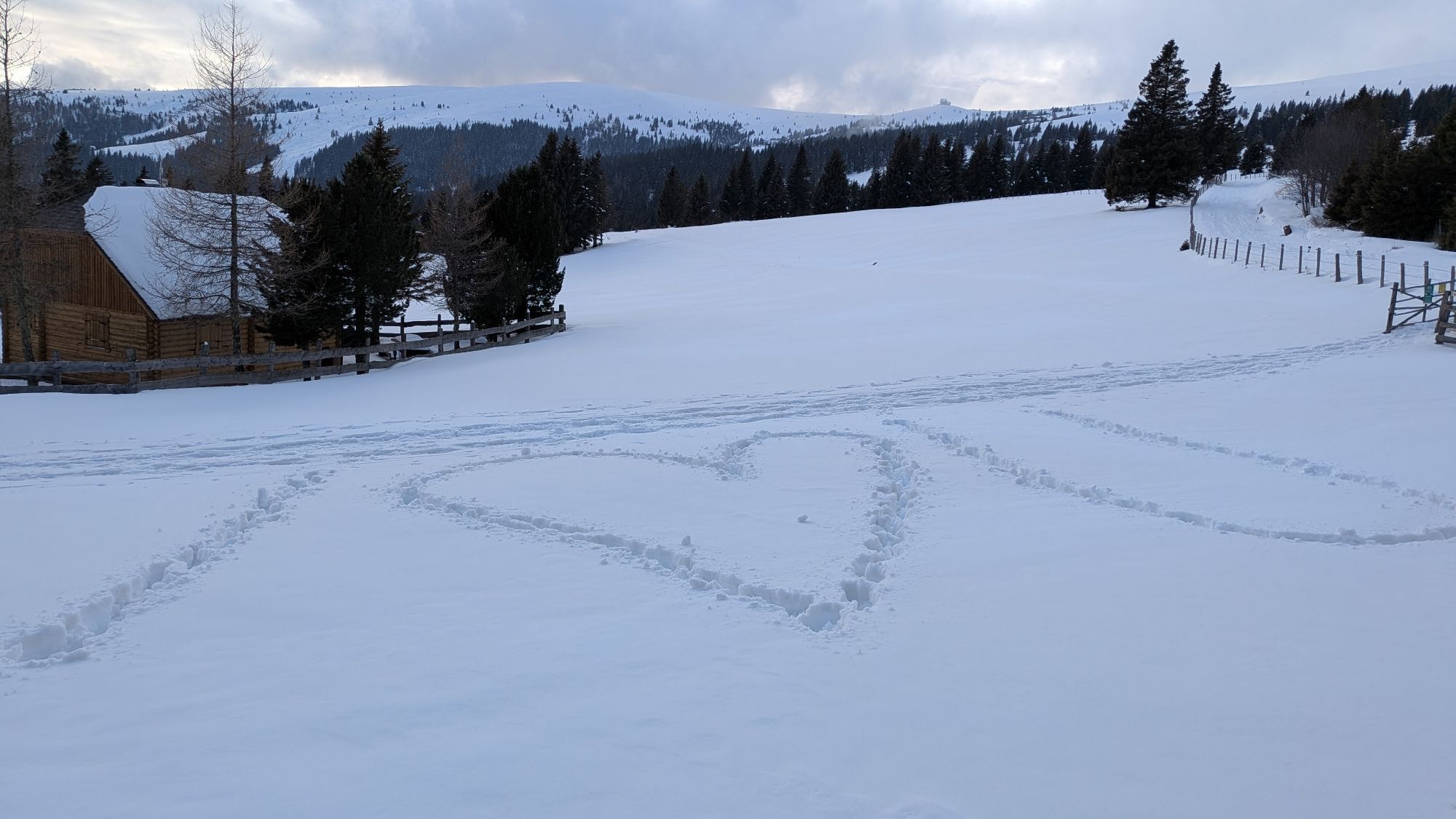
Parking about 200 m after the Gießlhütte.
Visit the Saualpe also in summer. The well-marked hiking trails are mostly easy to walk and therefore suitable for children and seniors as well.
Popularne wycieczki w okolicy
-
4,4
Klippitztörl - Geierkogel loop trail no. G
średniWędrówka 6,79 km -
5,0
Weißbergerhütte - Gertrusk - Ladingerspitz
średniWędrówka 8,95 km -
4,1
Vom Klippitztörl auf die Forstalm mit Geierkogel und Steinerner Hochzeit.
średniWędrówka 10,5 km -
4,3
Mariahilferweg
średniWędrówka 11,2 km -
4,4
Diex panorama trail
światłoWędrówka 12,1 km -
4,4
Saualpen ridge – Speikkogel, Großer and Kleiner Sauofen
średniWędrówka 10,8 km -
4,8
Winter sun on the Saualm
światłoRakieta do chodzenia po śniegu 4,70 km -
5,0
Klippitztörl: Tour 6 - Geierkogeltour
średniRakieta do chodzenia po śniegu 6,80 km -
3,9
Klippitztörl: circular hike
średniWędrówka 10,1 km -
4,6
Saualpe: Hut route - circular hike
średniWędrówka 15,3 km

Wędrówki i tropienie


Nie przegap ofert i inspiracji na następne wakacje
Twój adres e-mail została dodana do listy mailingowej.