







Bike route Weissbergerhütte - St. Martiner Hütte
Poziom trudności: 3
You start at the Weissberger Hütte, ride through Eberstein to Hüttenberg and from there through Heft to the St. Martiner Hütte.

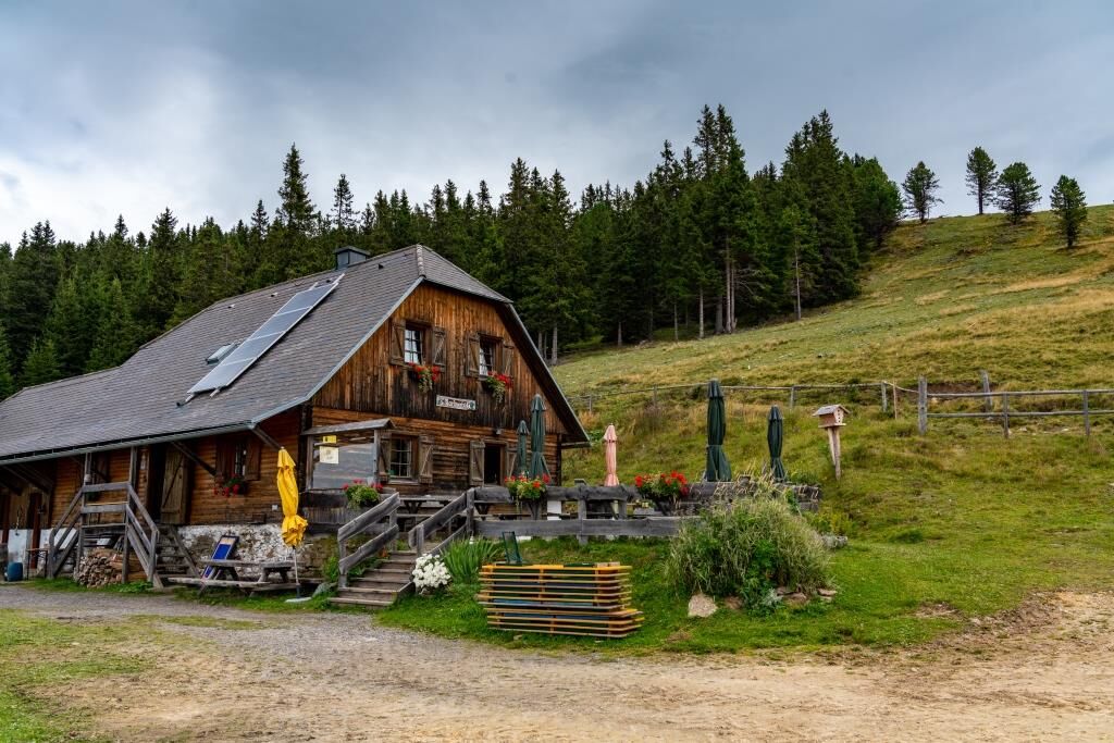
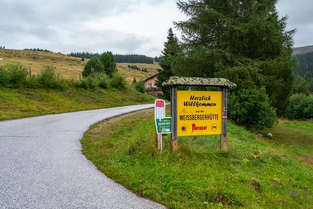


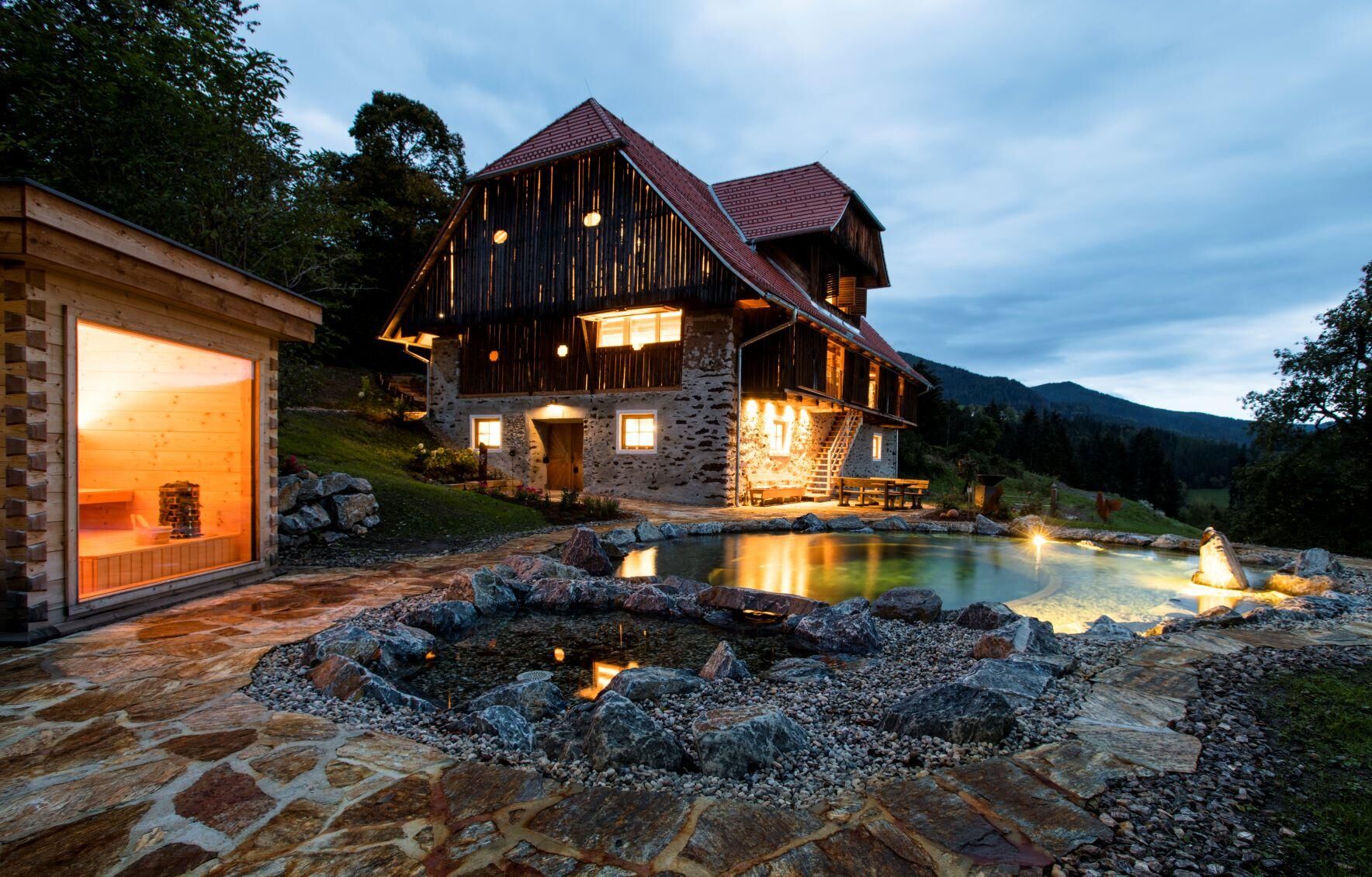

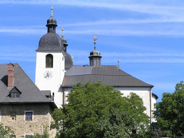
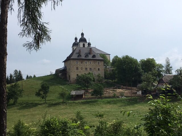
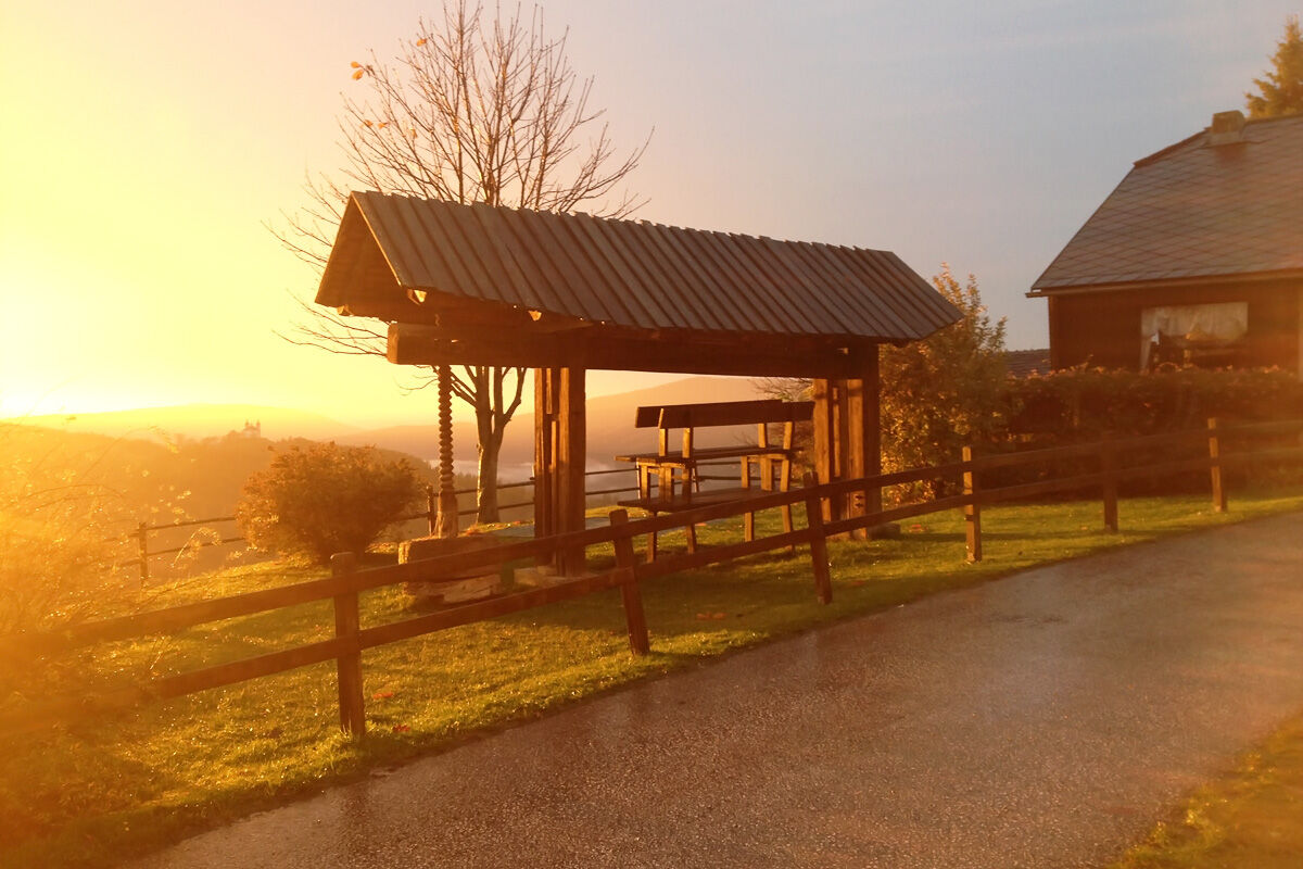
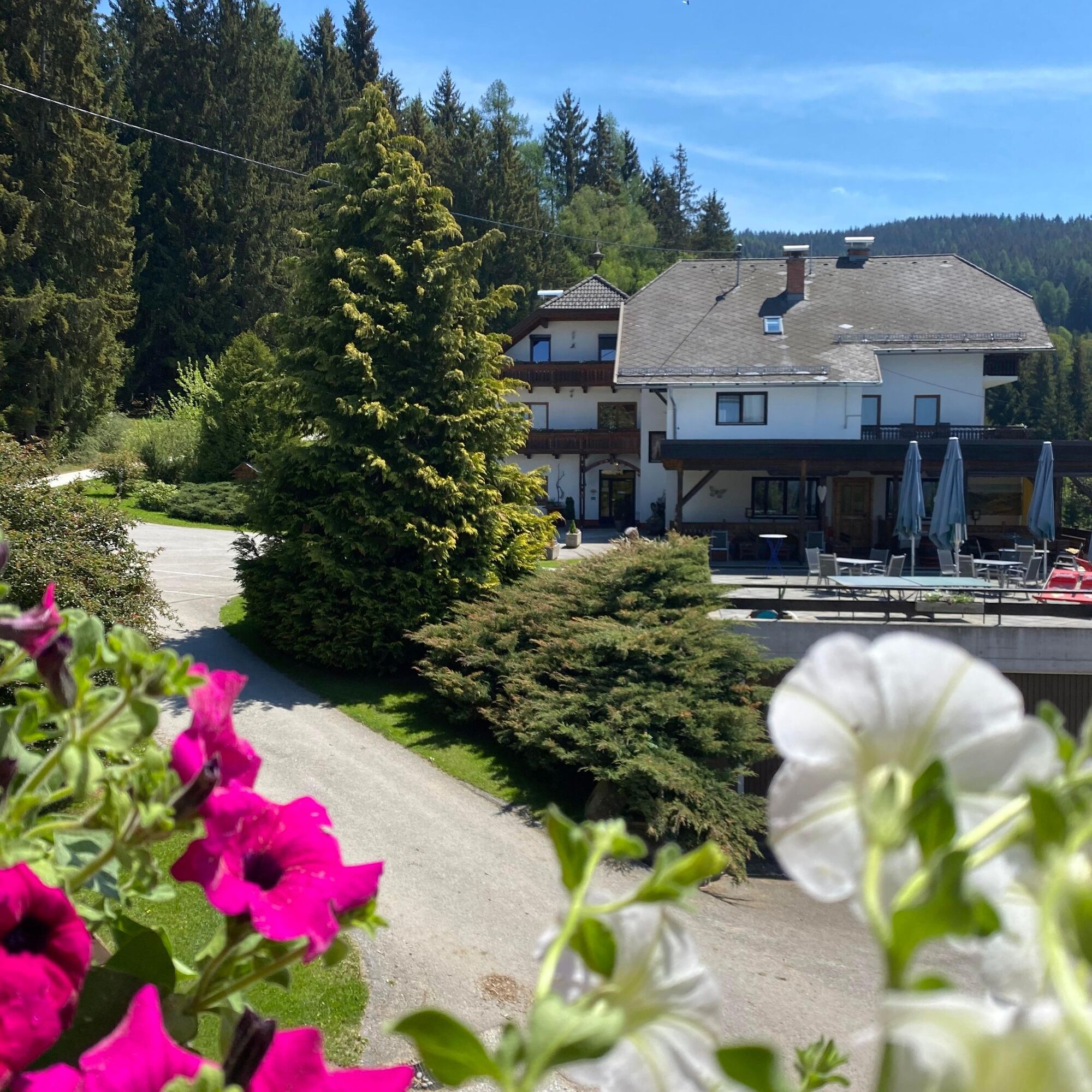
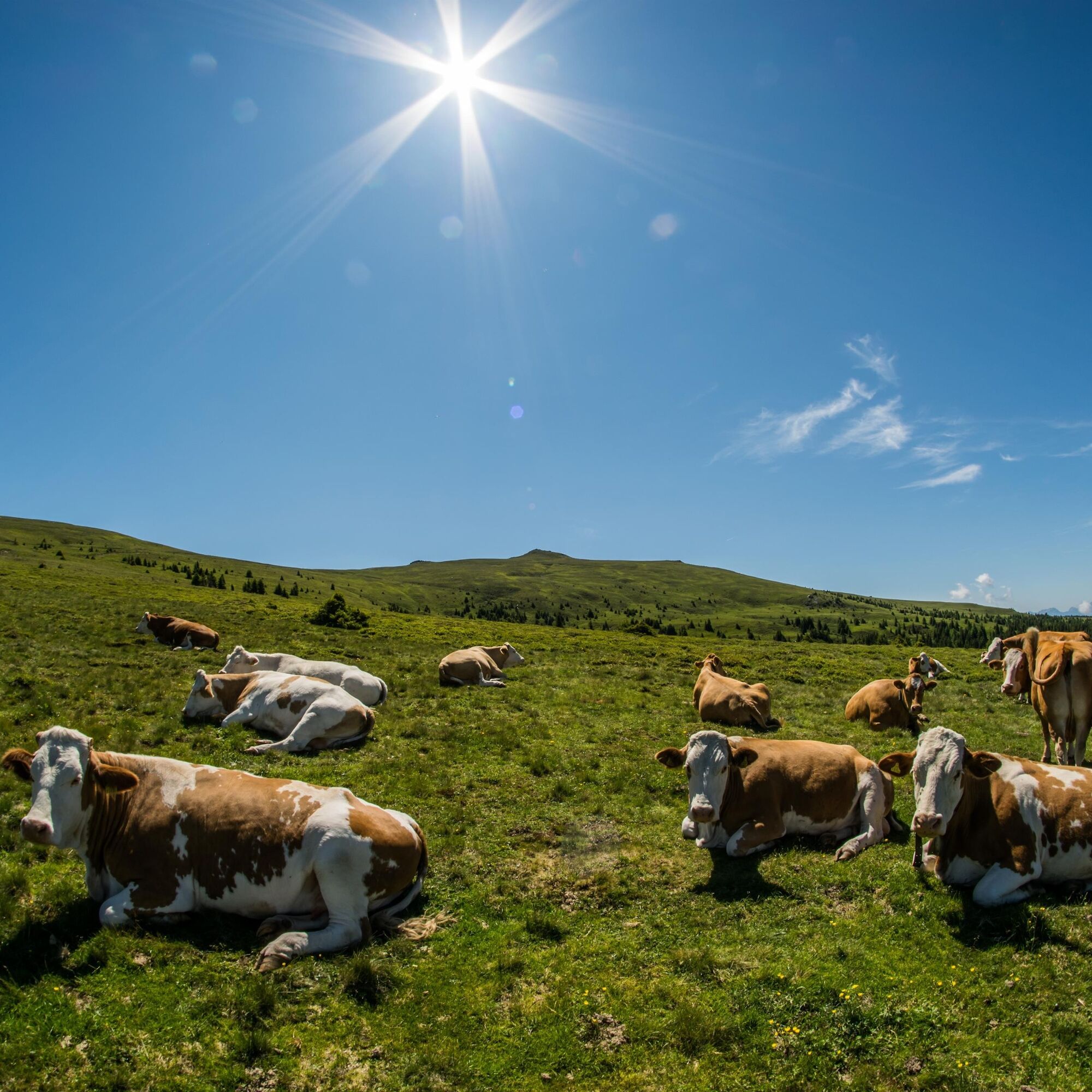

The descent starts very fast down the mountain from the Weissbergerhütte to Wieting. With a beautiful view of the Görtschitztal, the very good asphalt road leads to the town of Wieting. On the main road, turn right towards Hüttenberg. At the Mösel crossing, continue straight on to Hüttenberg. Two underpasses follow, then at Vierlinden, continue straight ahead.
In Hüttenberg, at the church, turn right towards Heft. After Heft near Zosen, turn left at the sign "St. Martiner Hütte" and go up the mountain.
The mountain route starts with a beautiful forest road, leads over two rustic wooden bridges until finally the view over the valley opens up. Along the mountain, it goes towards the Stettner guesthouse. Here turn left uphill and continue over the mountain about 6 kilometers over gravel roads towards the St. Martiner Hütte.
Good footwear, comfortable clothing, filled water bottle, charged mobile phone
Please observe the weather reports
Use your route planner
ÖBB timetable information:
https://fahrplan.oebb.at/webapp/#!P|TP!H|273697
Enough parking spaces available
3
Enjoy a delicious snack and a regional drink at the rustic St. Martiner Hütte with the hut owner.
Uzyskaj wgląd
Zawsze na żywo z ponad 9 500 kamer internetowych. bergfex Jako użytkownik Pro, możesz teraz zobaczyć odpowiednie kamery internetowe dla wielu wycieczek w aplikacji wycieczki od. Pozwala to na bezpośredni podgląd aktualnych warunków.
Popularne wycieczki w okolicy
-
4,5
Klippitztörl - Geierkogel loop trail no. G
średniWędrówka 6,79 km -
4,1
Vom Klippitztörl auf die Forstalm mit Geierkogel und Steinerner Hochzeit.
średniWędrówka 10,5 km -
4,3
Certified hiking trail: Guttaring - Mariahilferweg - permanent IVV hiking trail
średniWędrówka 11,2 km -
4,9
Steinerhütte-kl.+gr. Sauofen zum Gertrusk und zurück
światłoWędrówka 15,0 km -
5,0
Weißbergerhütte - Gertrusk - Ladingerspitz
średniWędrówka 8,95 km -
4,8
Winter sun on the Saualm
światłoRakieta do chodzenia po śniegu 4,70 km -
4,8
Klippitztörl: Tour 6 - Geierkogeltour
średniRakieta do chodzenia po śniegu 6,80 km -
4,2
Saualpen ridge – Speikkogel, Großer and Kleiner Sauofen
średniWędrówka 10,8 km -
4,6
Saualpe: Hut route - circular hike
średniWędrówka 15,3 km -
3,9
Klippitztörl: circular hike
średniWędrówka 10,1 km
Wędrówki i tropienie


Nie przegap ofert i inspiracji na następne wakacje
Twój adres e-mail została dodana do listy mailingowej.





