


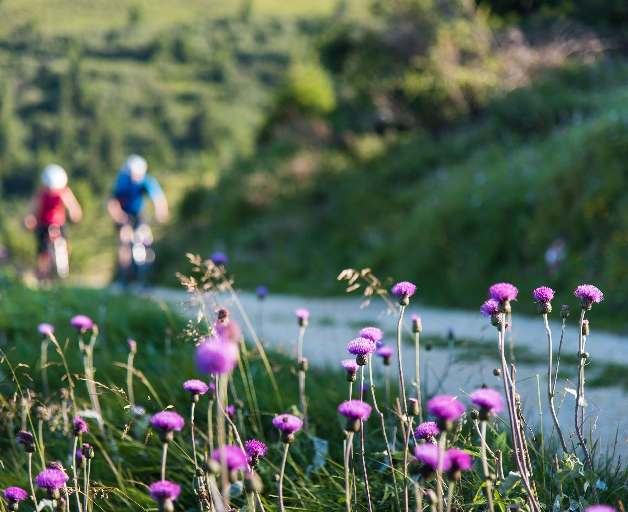
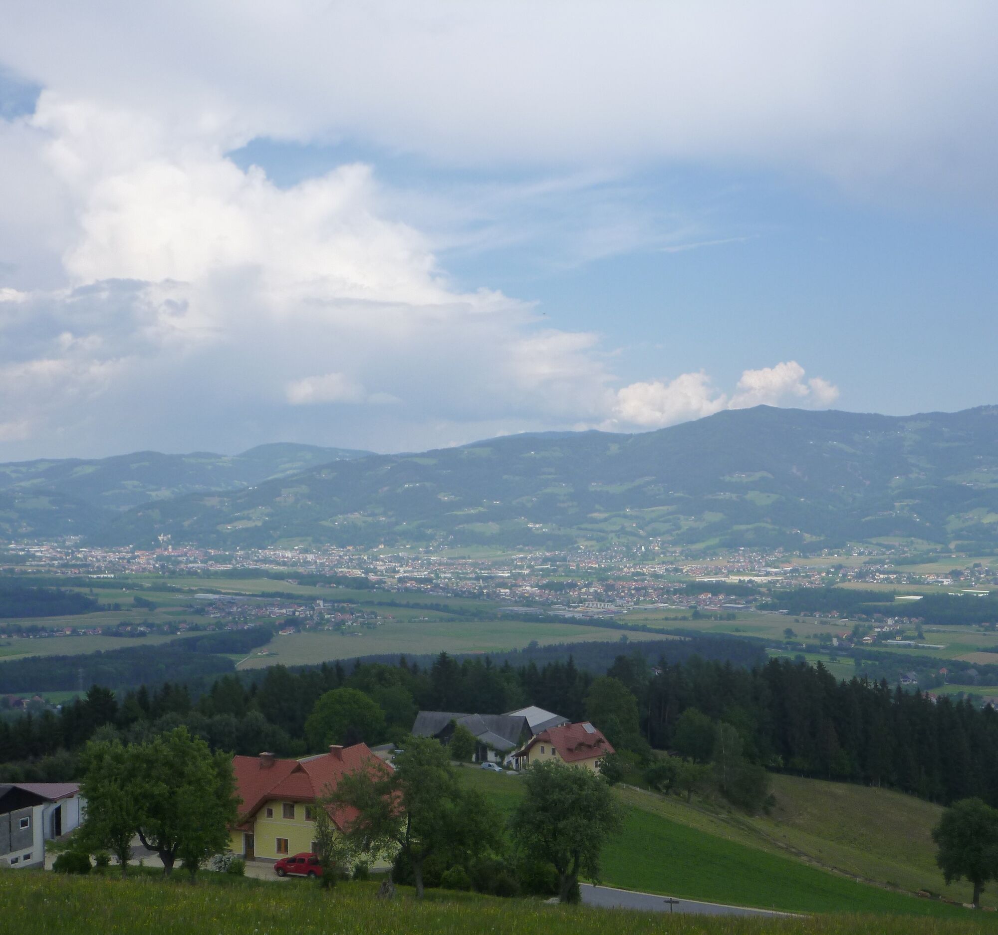
MTB 12 - Saualpen panoramic circular route - St. Andrä
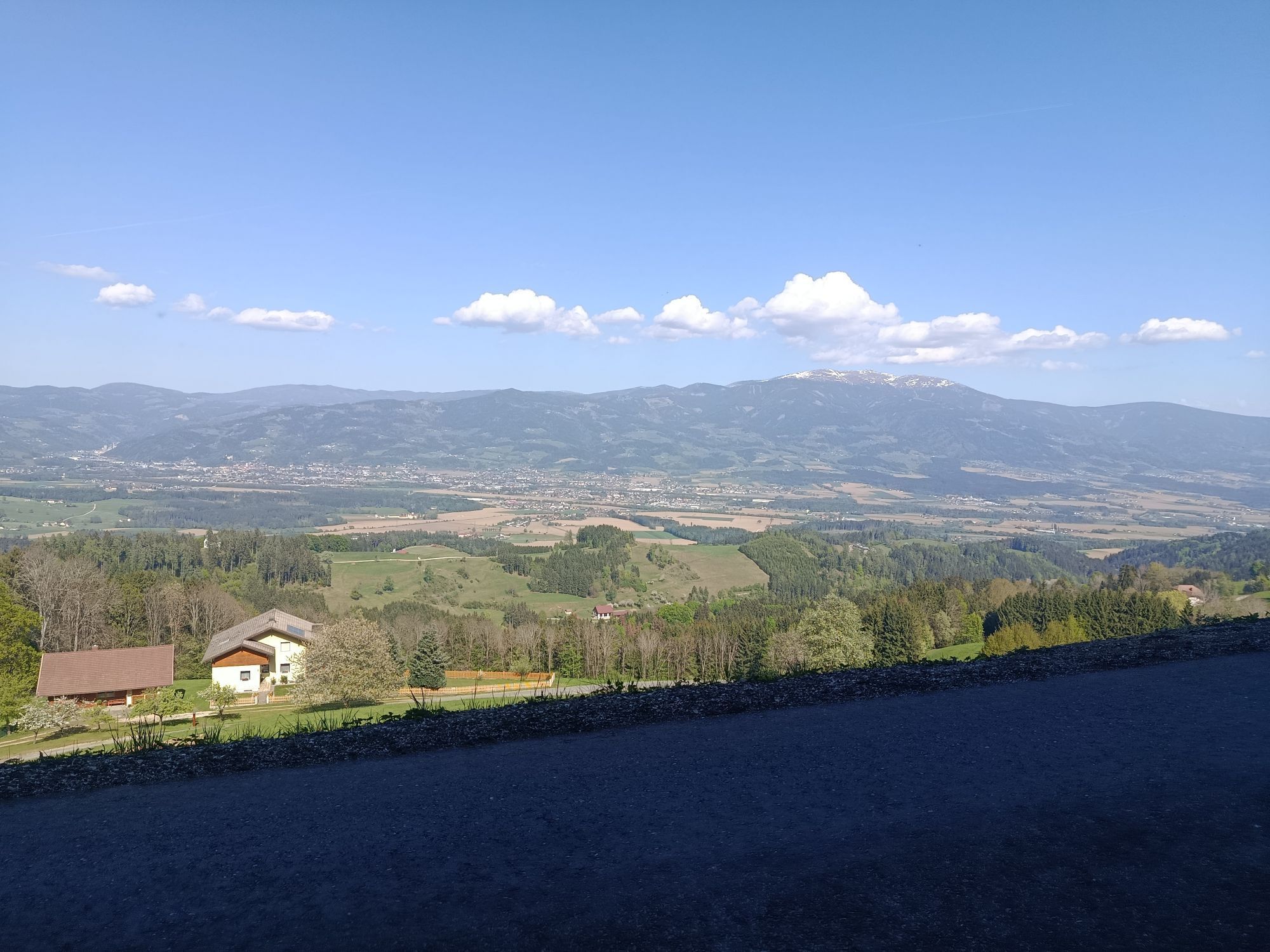
Along the Saualpen scenic road and through beautiful mountain villages (e.g. Schönweg, Lamm, Pölling) you repeatedly get a great panoramic view of the entire Lavant Valley.
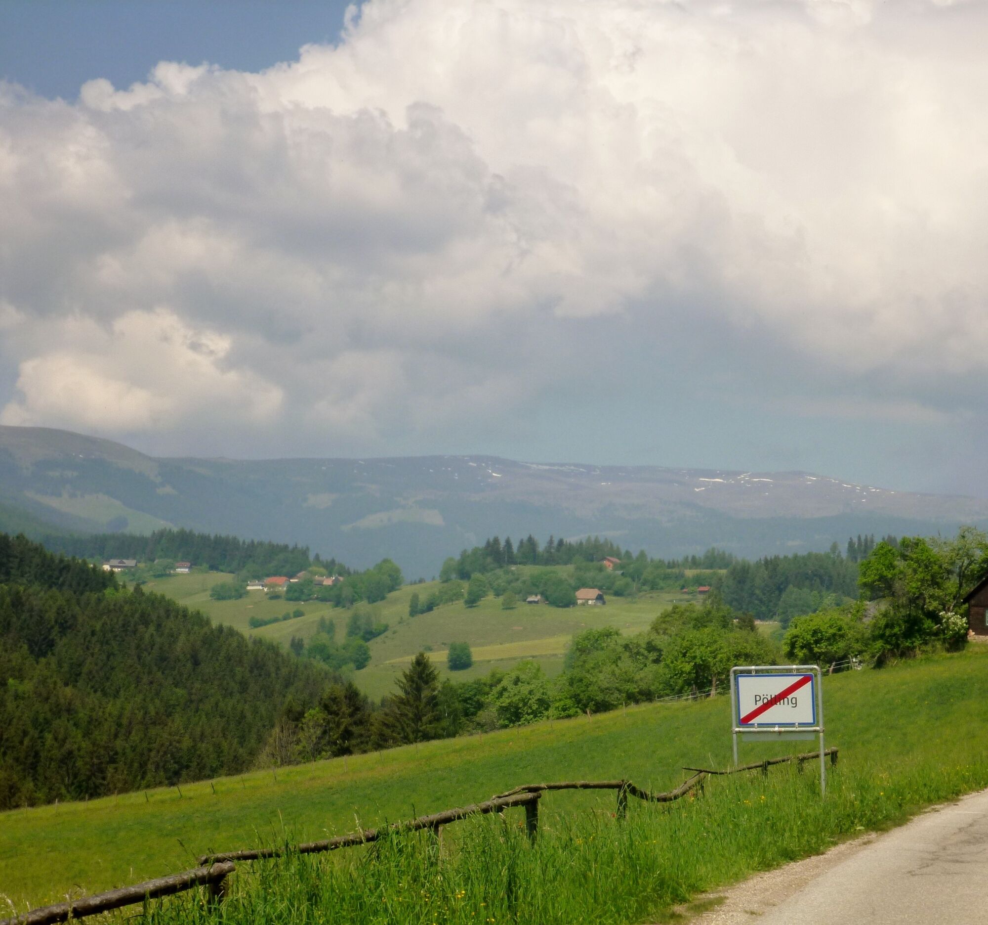
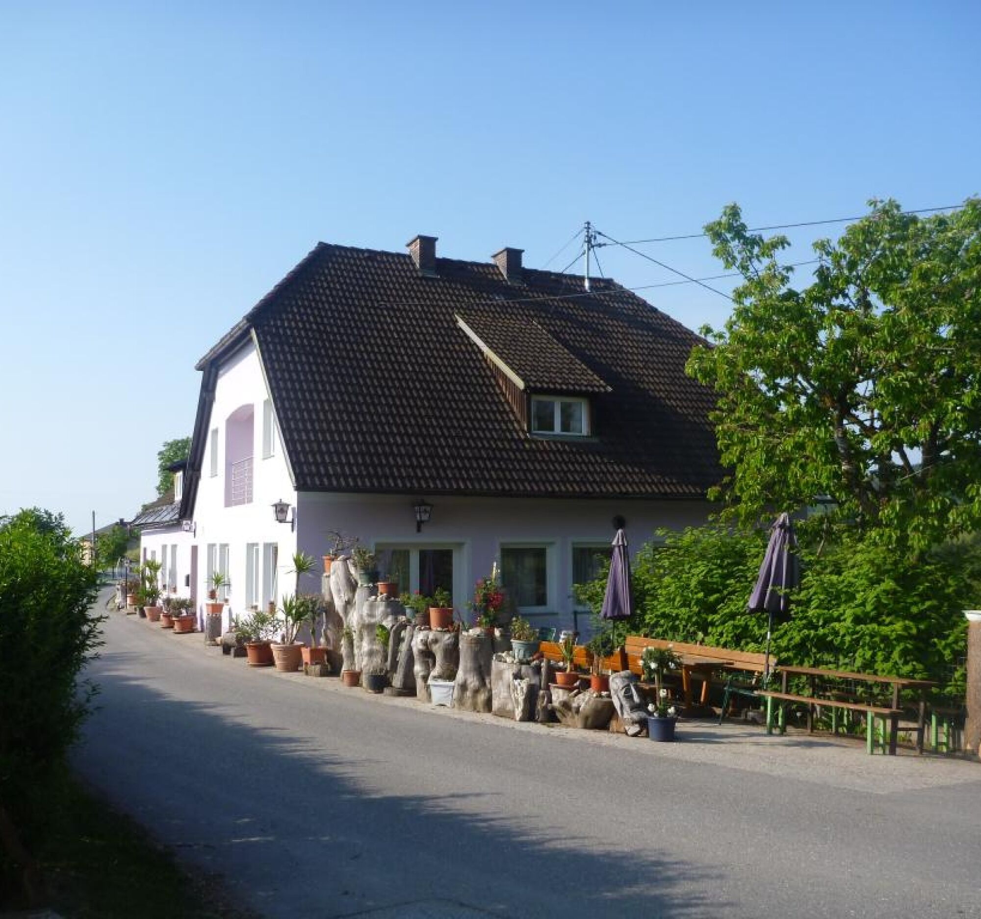
St. Andrä - Schönweg - Lamm - Pölling - Oberaigen - St. Andrä
If you have a brain, protect it!
The helmet is a matter of course when mountain biking.
Right clothing!
Carry warm clothing and a spare jersey even in summer, especially in the pre- and post-season. At higher elevations, bad weather without rain protection is unpleasant.
Carry emergency equipment!
First aid kit, bike repair set (spare tube, pump, tools), map, mobile phone, and possibly GPS should always be with you (Note: reception is not guaranteed everywhere in the mountains).
Drink constantly & eat on time!
Drink enough and plan your breaks accordingly. A hunger stop in the middle of nowhere is tough.
Adjust speed!
Always ride defensively and only as fast as you can stop in time before obstacles or avoid oncoming traffic. Always be alert. Cool is who passes pedestrians and hikers slowly.
Right self-assessment!
Don't overstrain yourself and your companions. Plan reserves. A defect before the last mountain or bad weather drains endurance and morale.
Start on time!
Especially in the pre- and post-season, make sure you reach your day's goal well before darkness falls and plan reserves.
Bad weather in the mountains!
If bad weather approaches, quickly leave higher elevations (descent or turnaround)! You can quickly reach the starting point or the valley by bike again. Consider the possibility of snowfall. Impassable route sections! If obstacles appear on the route (snow, mudslide, windthrow, …), make sure you can get through safely. Never leave the marked trail! Turn around early enough if you don't feel safe!
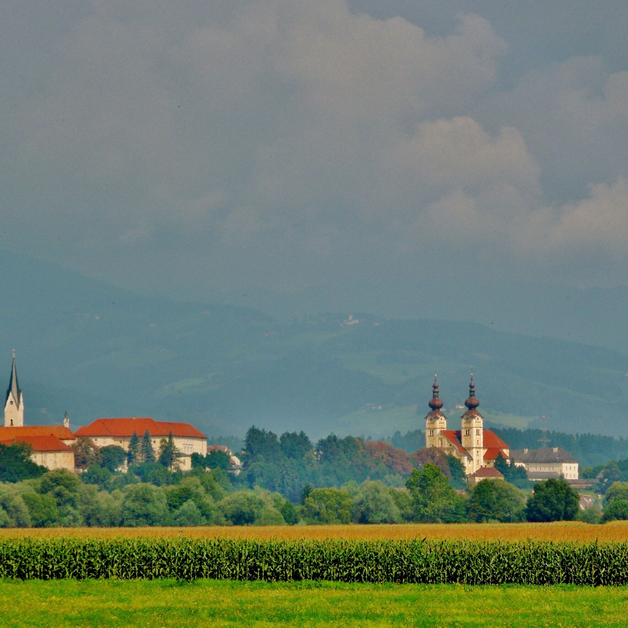
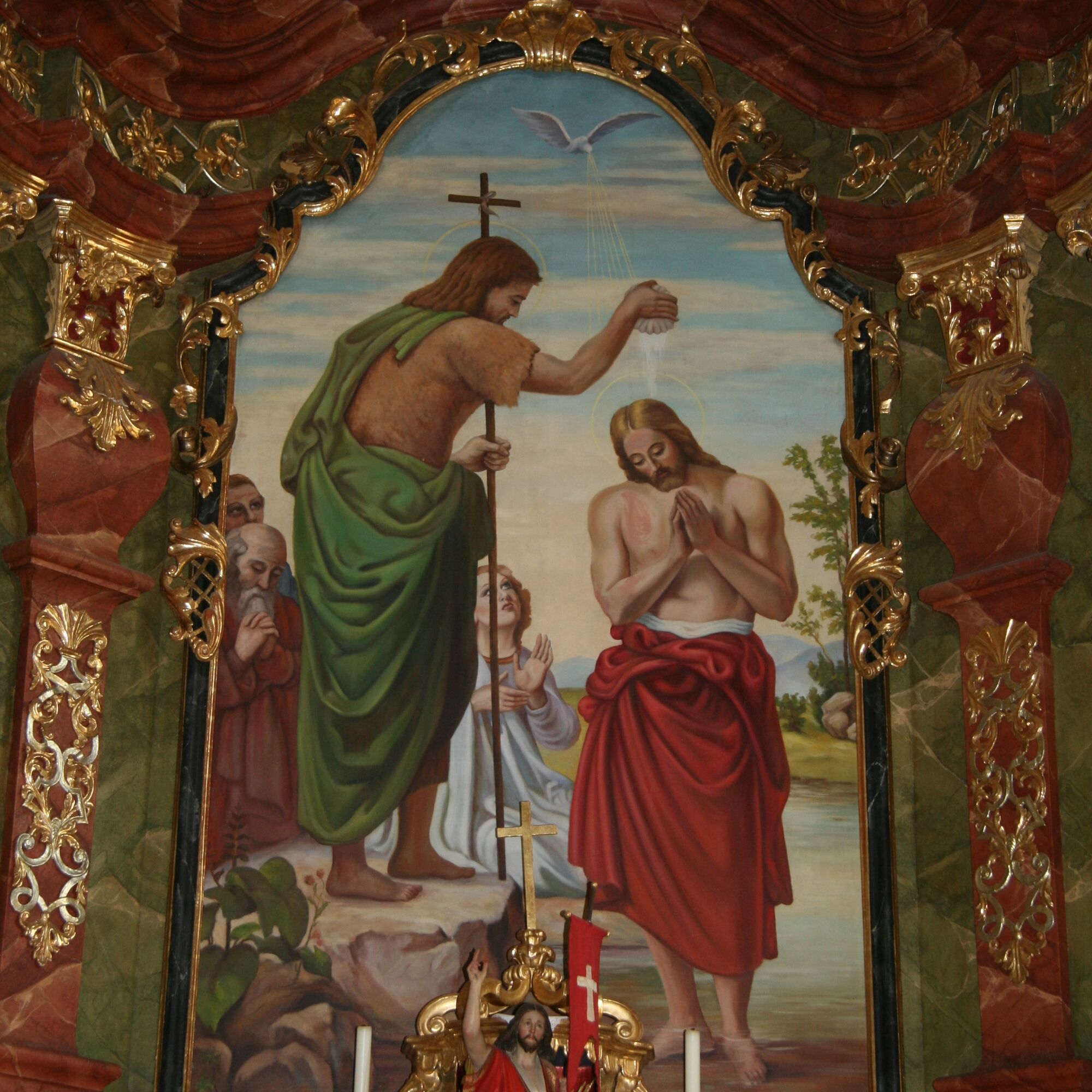
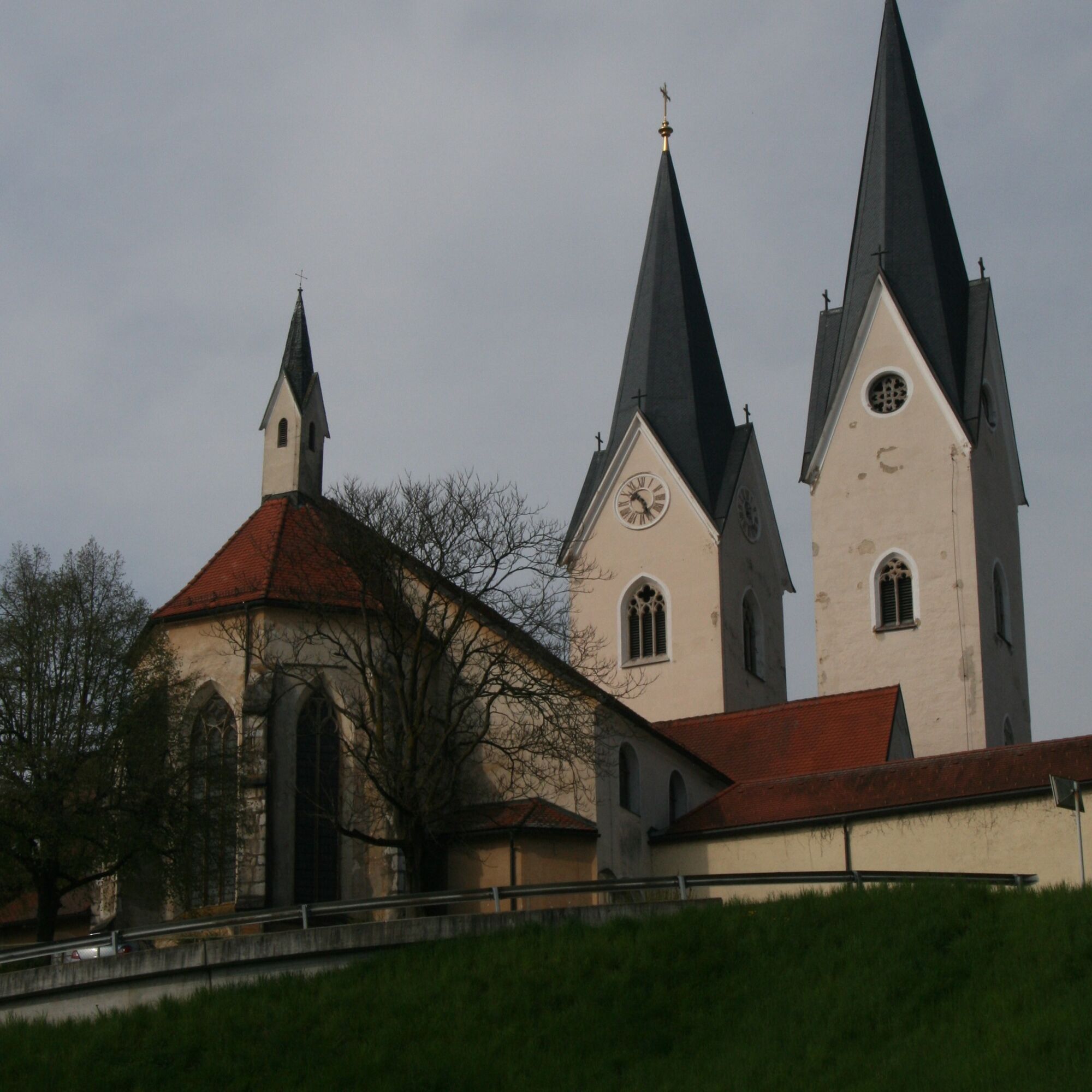
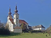
Gackern in St. Andrä
What was originally conceived as a summer festival has now become an integral part of the Carinthian event summer: The Gackern in St. Andrä in the Lavant Valley attracted around 70,000 visitors last year.
The gates were opened for the 17th time.
Awarded as a top culinary event, the St. Andrä poultry festival offers 35 national and international poultry dishes and is thus the only event of its kind in Europe.
With a great atmosphere in front of the mighty Basilica Maria Loreto and daily live music with open-air vibes, a visit to Gackern becomes an unforgettable experience.
Since 2015, Gackern lounges have been bookable, perfectly suitable for family celebrations, company parties, etc.
www.gackern.com
Popularne wycieczki w okolicy
-
4,7
Koralpe: hike to the summit cross
światłoWędrówka zimą 4,23 km -
4,4
Koralpe: Gipfeltour auf den Großen Speikkogel
średniWycieczka narciarska 11,6 km -
5,0
Weißbergerhütte - Gertrusk - Ladingerspitz
średniWędrówka 8,95 km -
4,8
Winter sun on the Saualm
światłoRakieta do chodzenia po śniegu 4,70 km -
4,4
Diex panorama trail
światłoWędrówka 12,1 km -
4,2
Saualpen ridge – Speikkogel, Großer and Kleiner Sauofen
średniWędrówka 10,8 km -
5,0
Koralpe: Hike to the Großer Speikkogel
średniRakieta do chodzenia po śniegu 10,5 km -
4,6
Saualpe: Hut route - circular hike
średniWędrówka 15,3 km -
4,0
Koralpe: panoramic hike
światłoWędrówka zimą 6,57 km -
3,7
Koralpe: panoramic circular hike
średniWędrówka 13,2 km
Wędrówki i tropienie


Nie przegap ofert i inspiracji na następne wakacje
Twój adres e-mail została dodana do listy mailingowej.