


Koralpe: Hike to the Großer Speikkogel
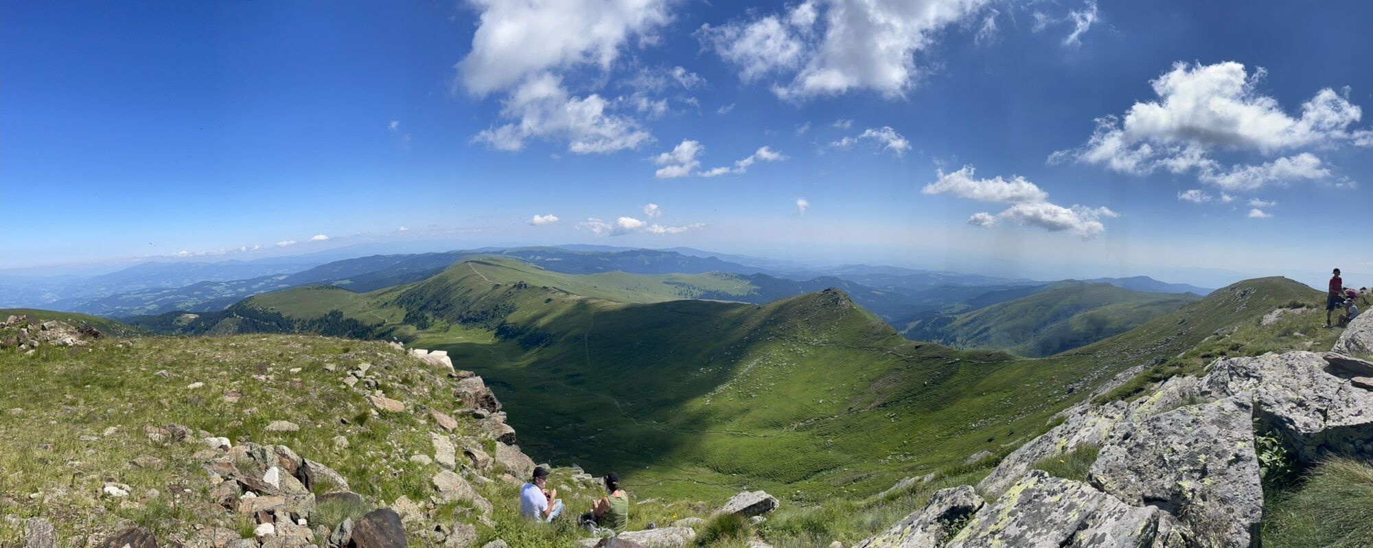
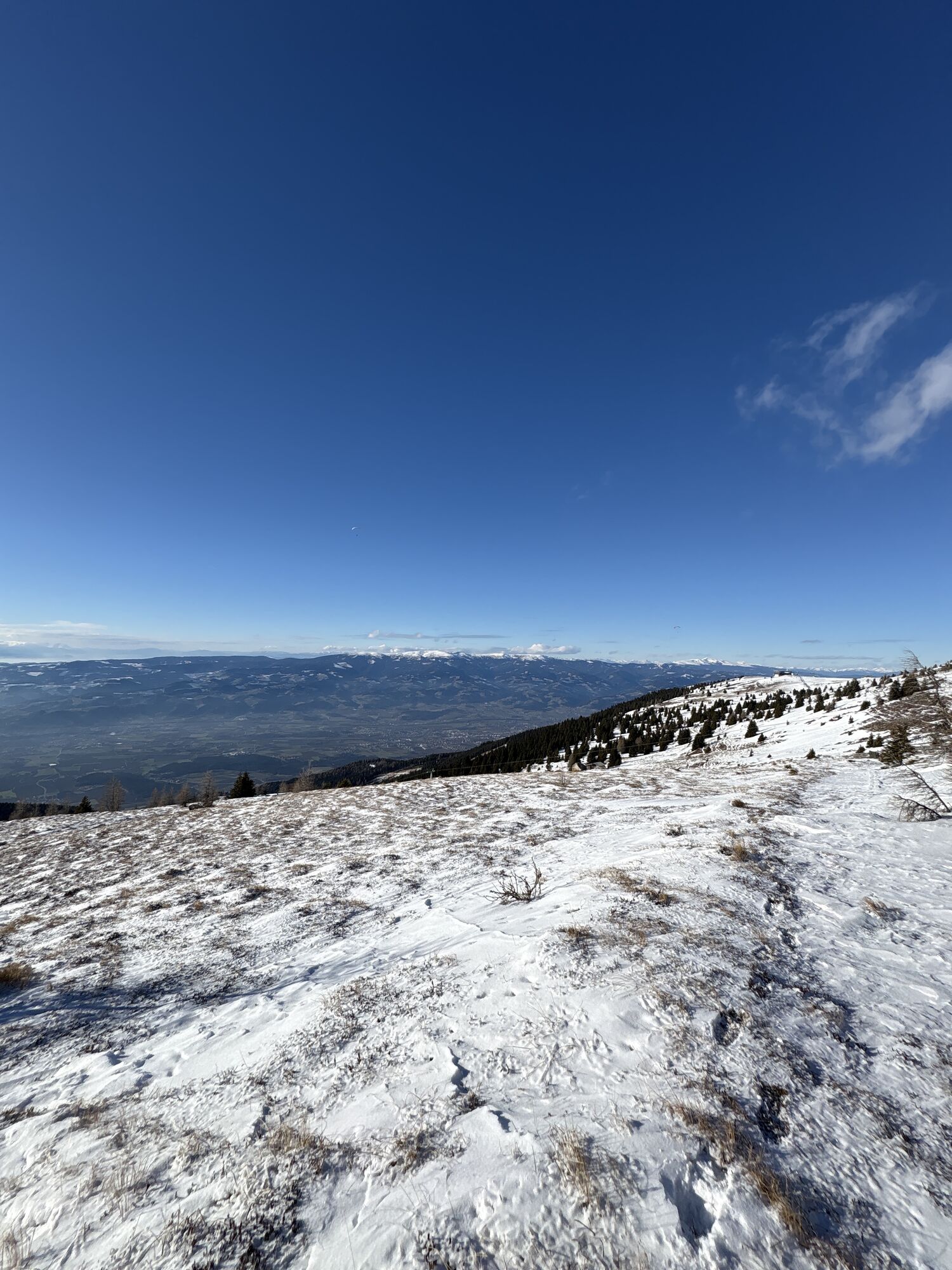
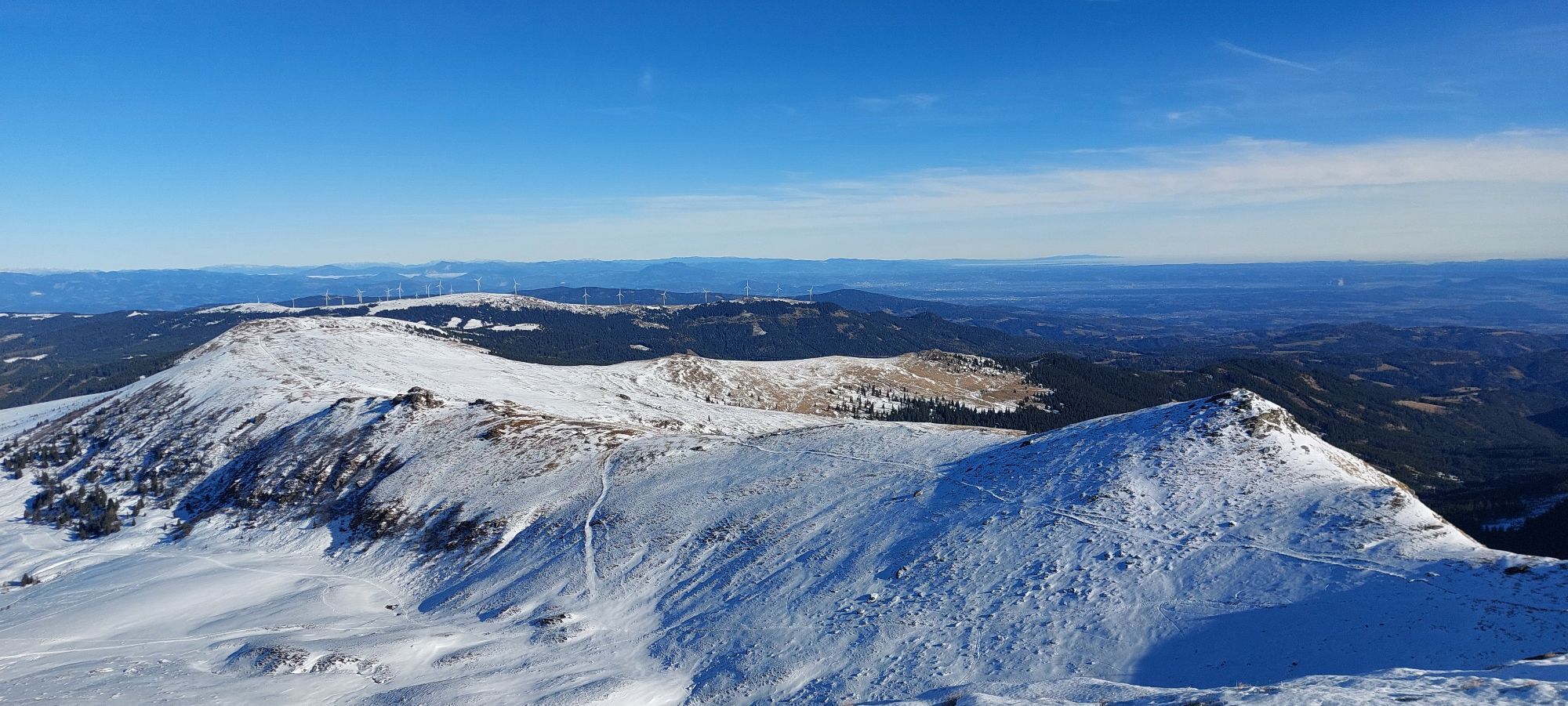
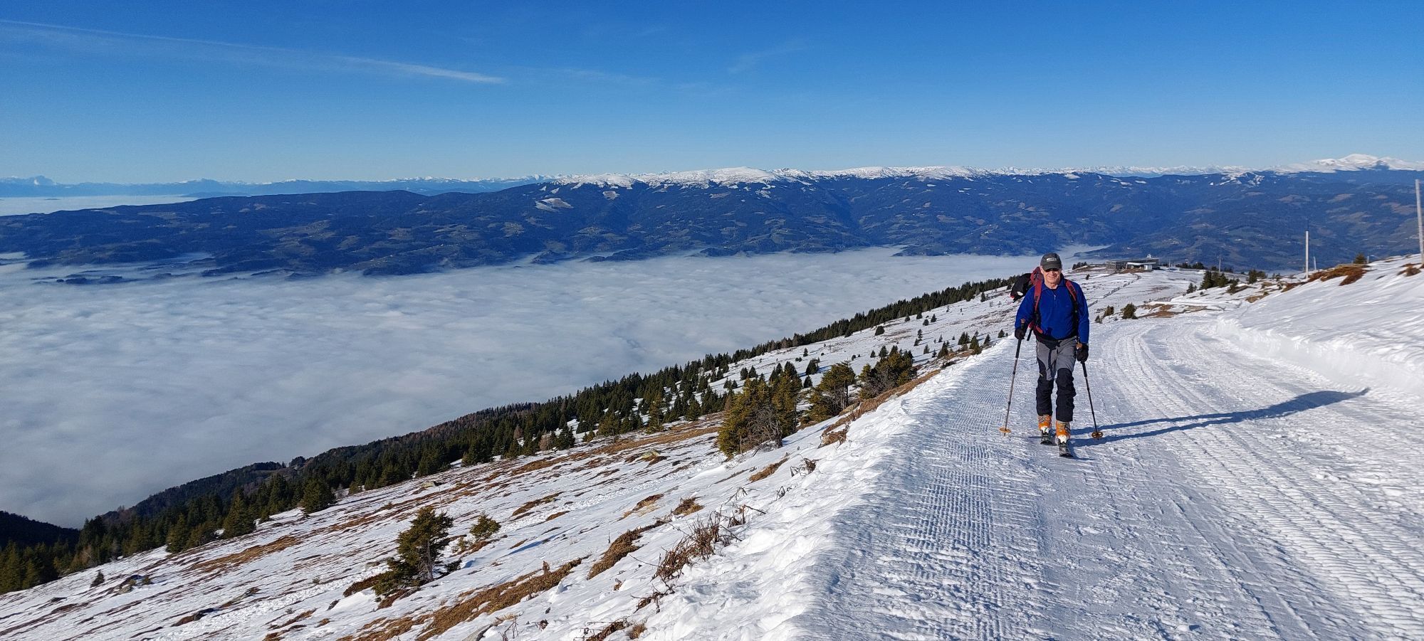
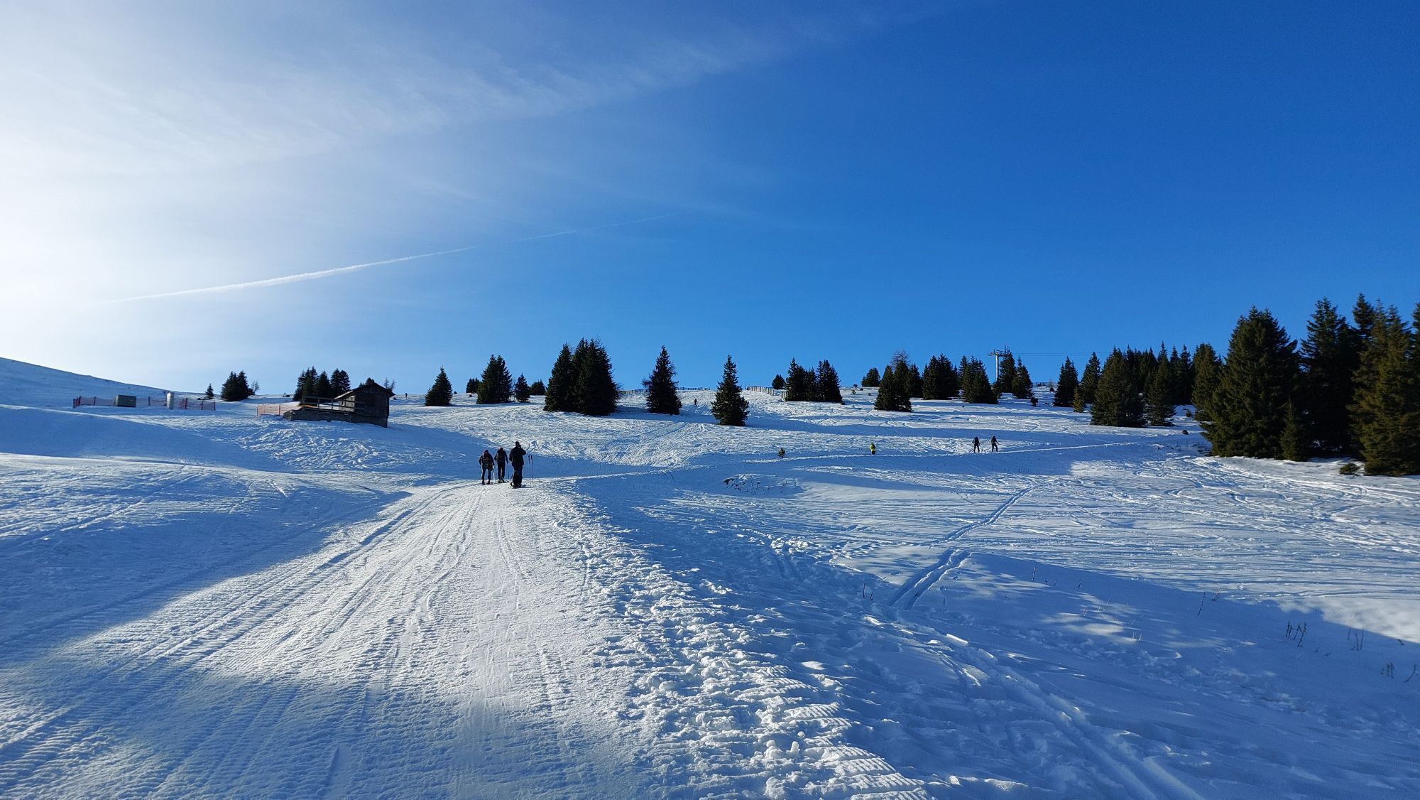
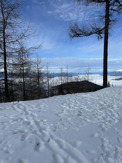
From the Koralpe parking lot, head west on the panorama trail towards Goding, to the sunny side of the Koralpe. The goal and highlight of the route is the Großer Speikkogel with a breathtaking 360° panorama...
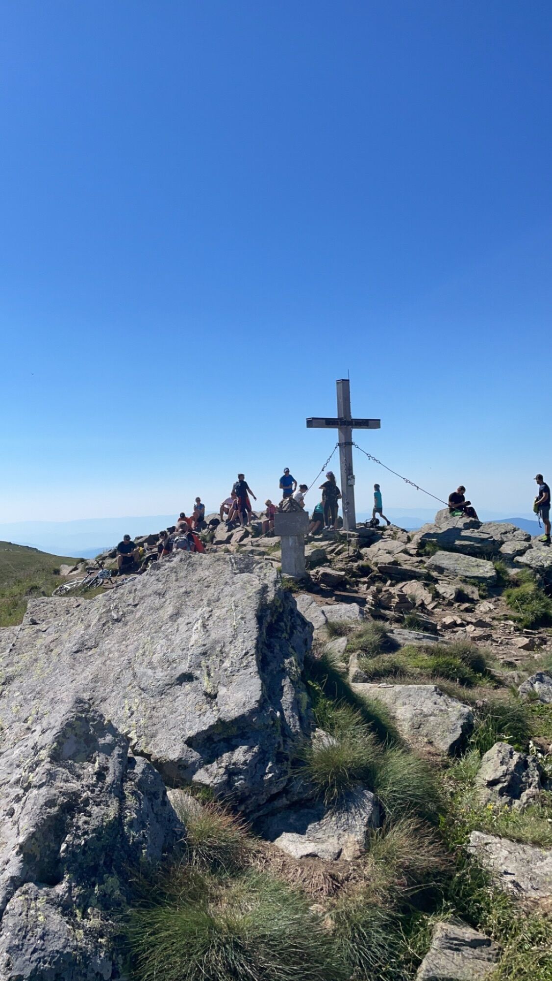
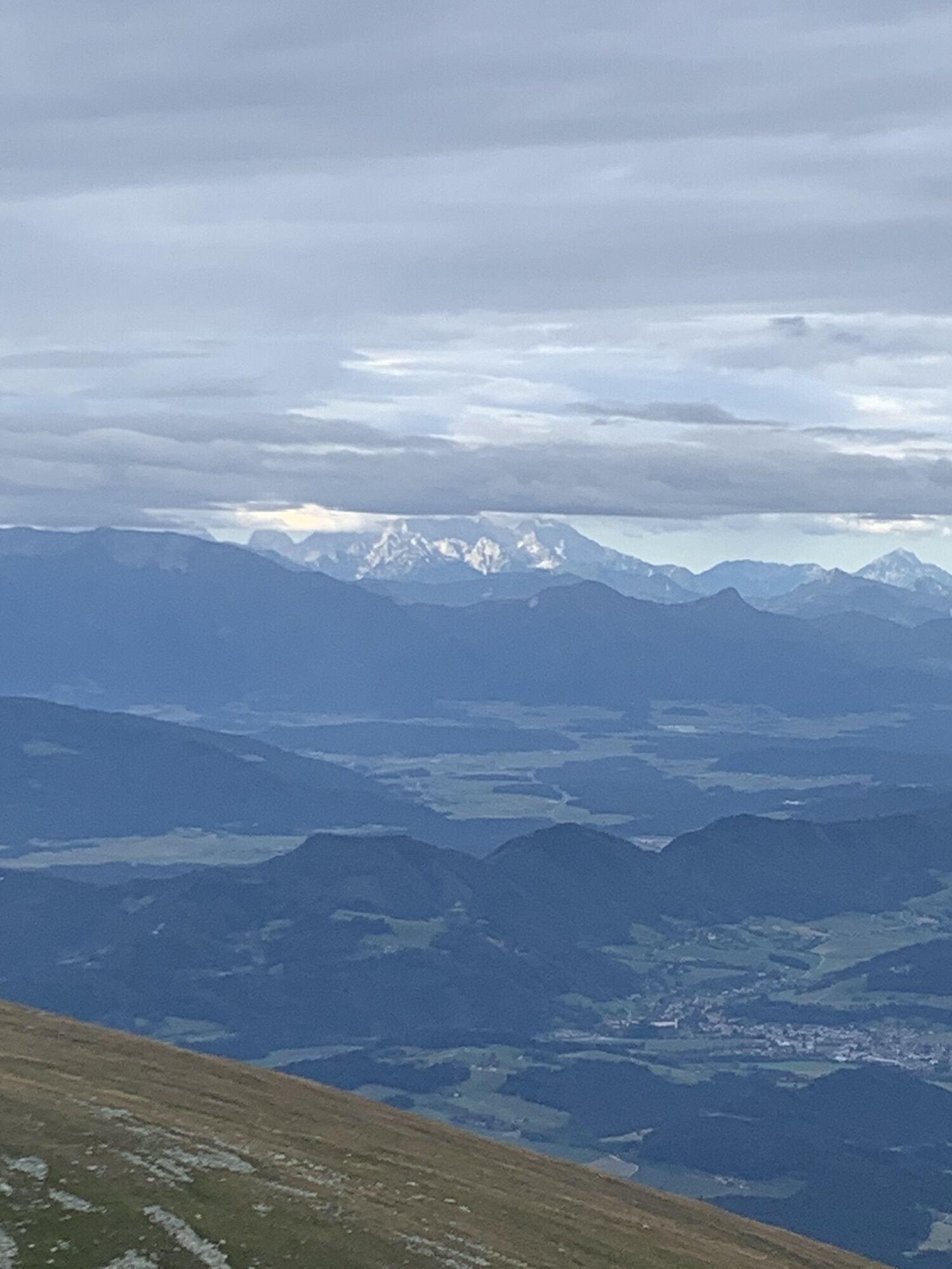
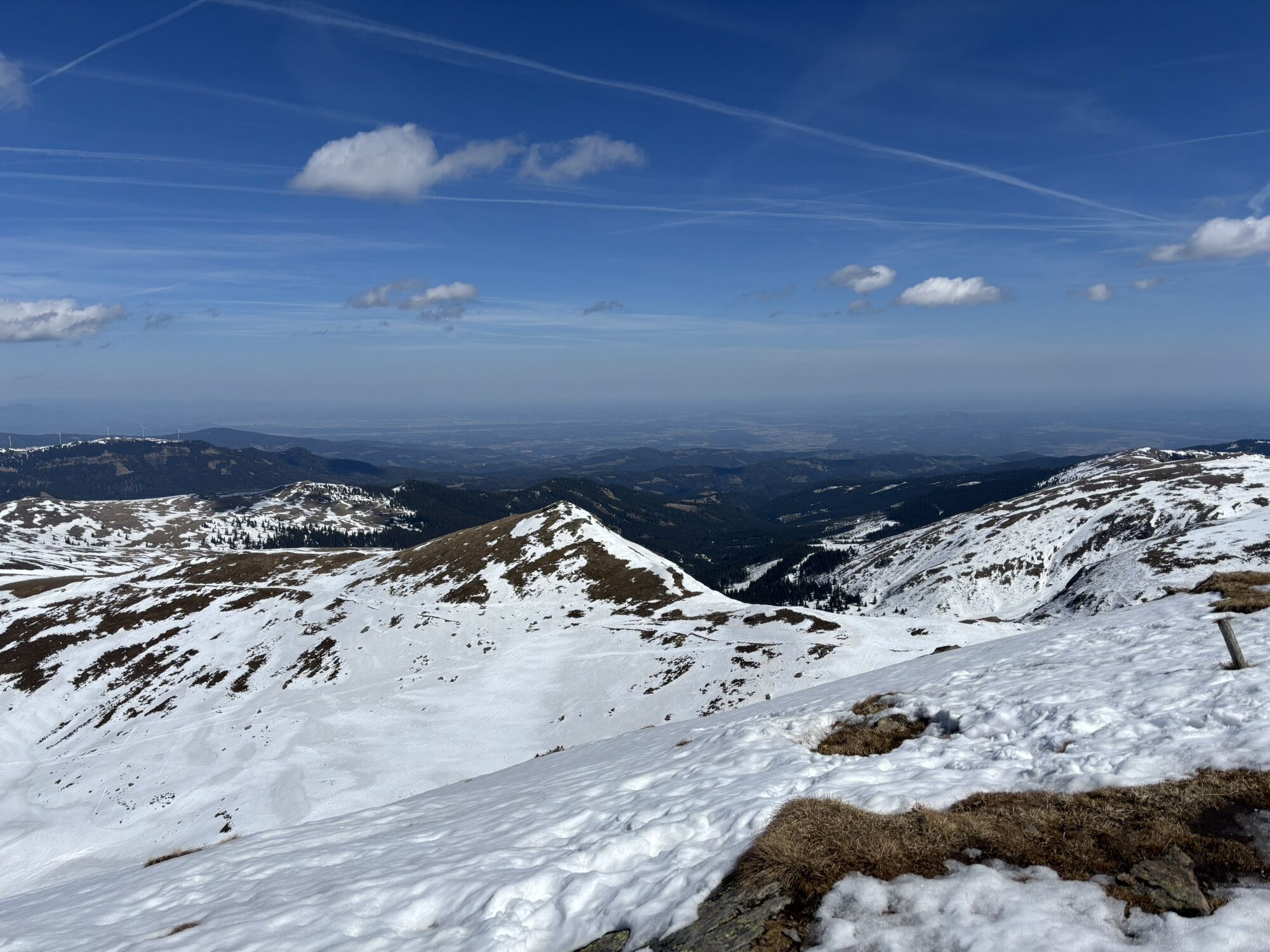
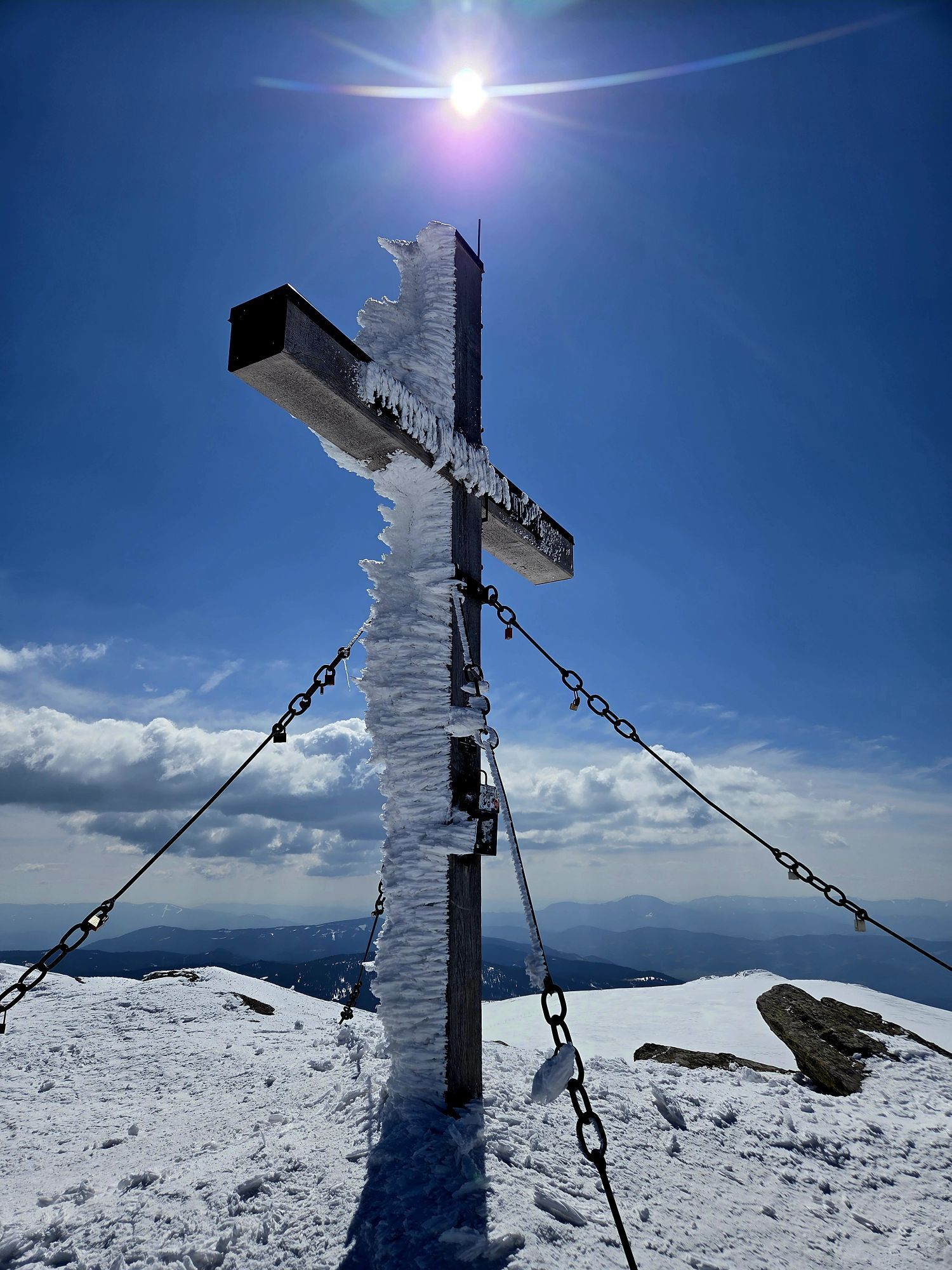
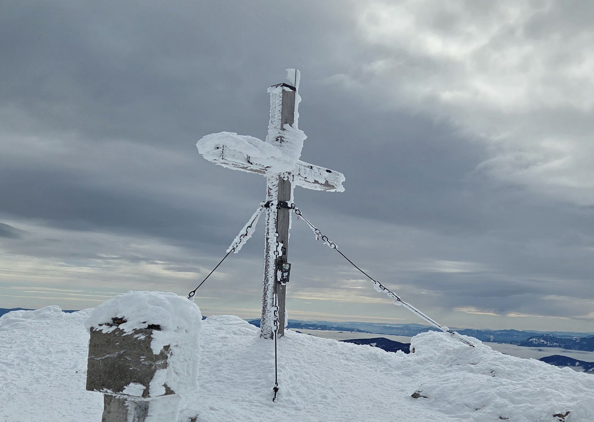
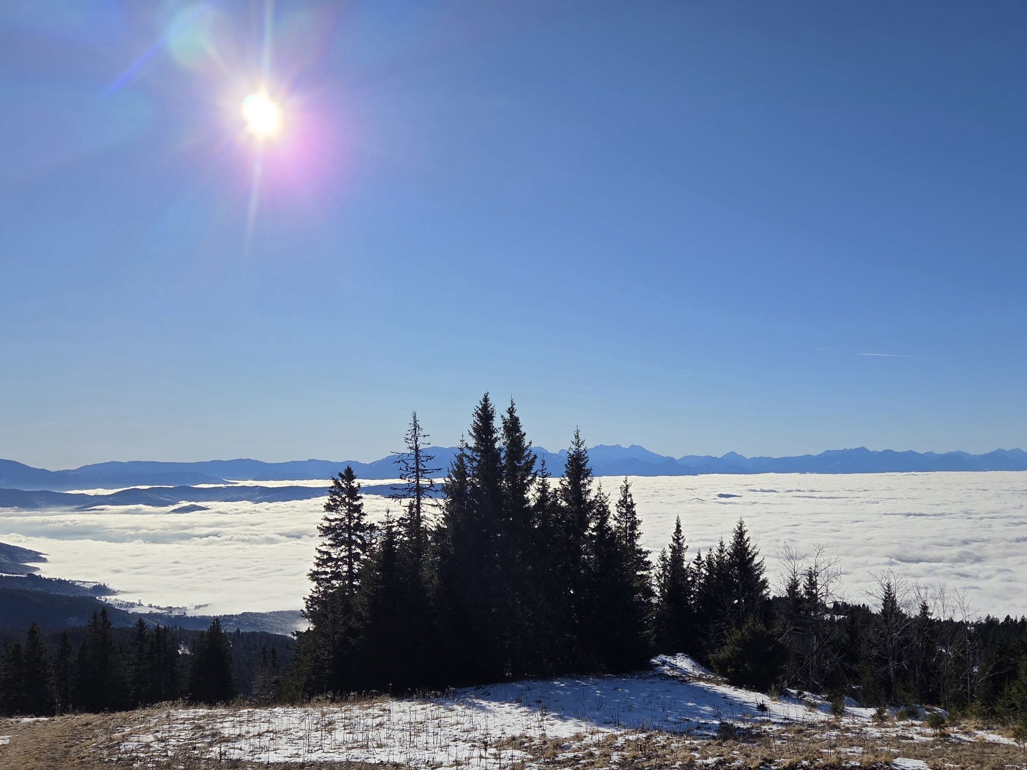
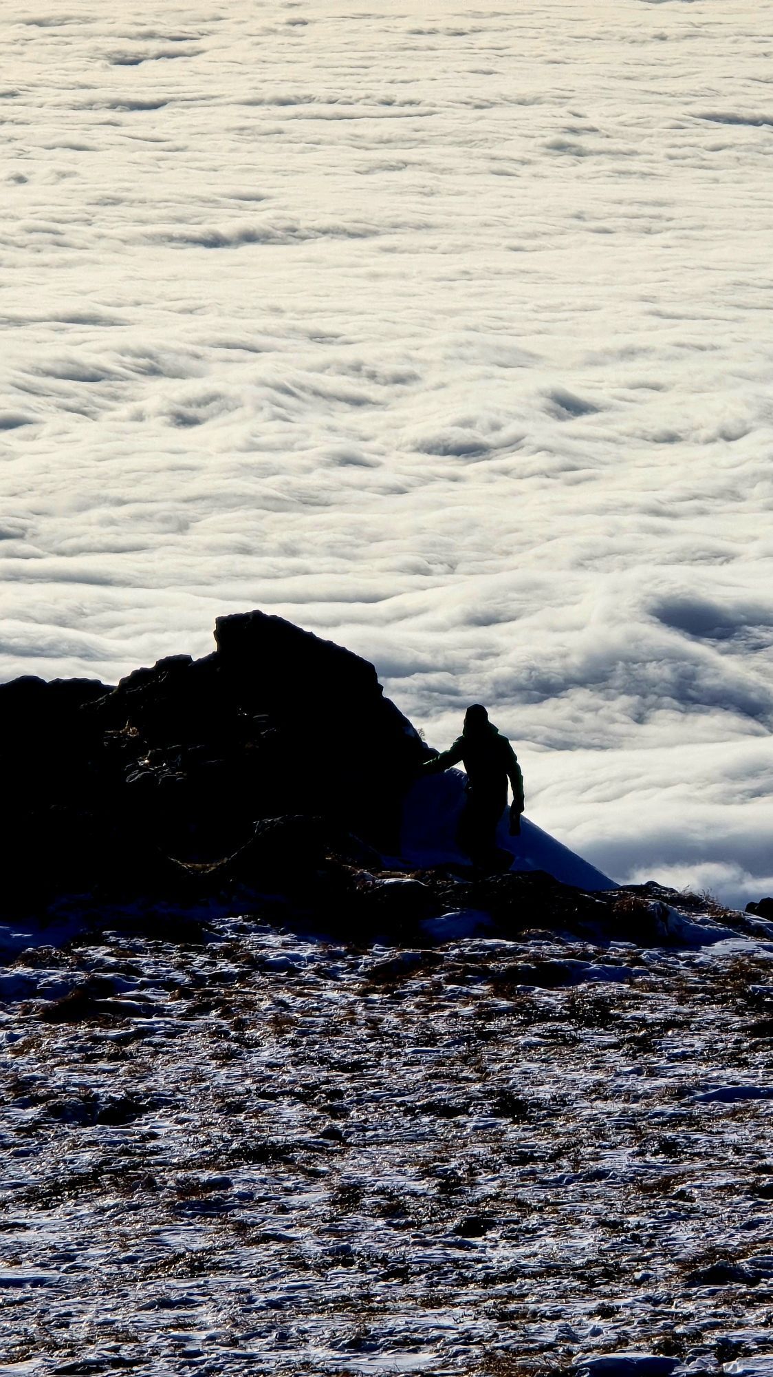
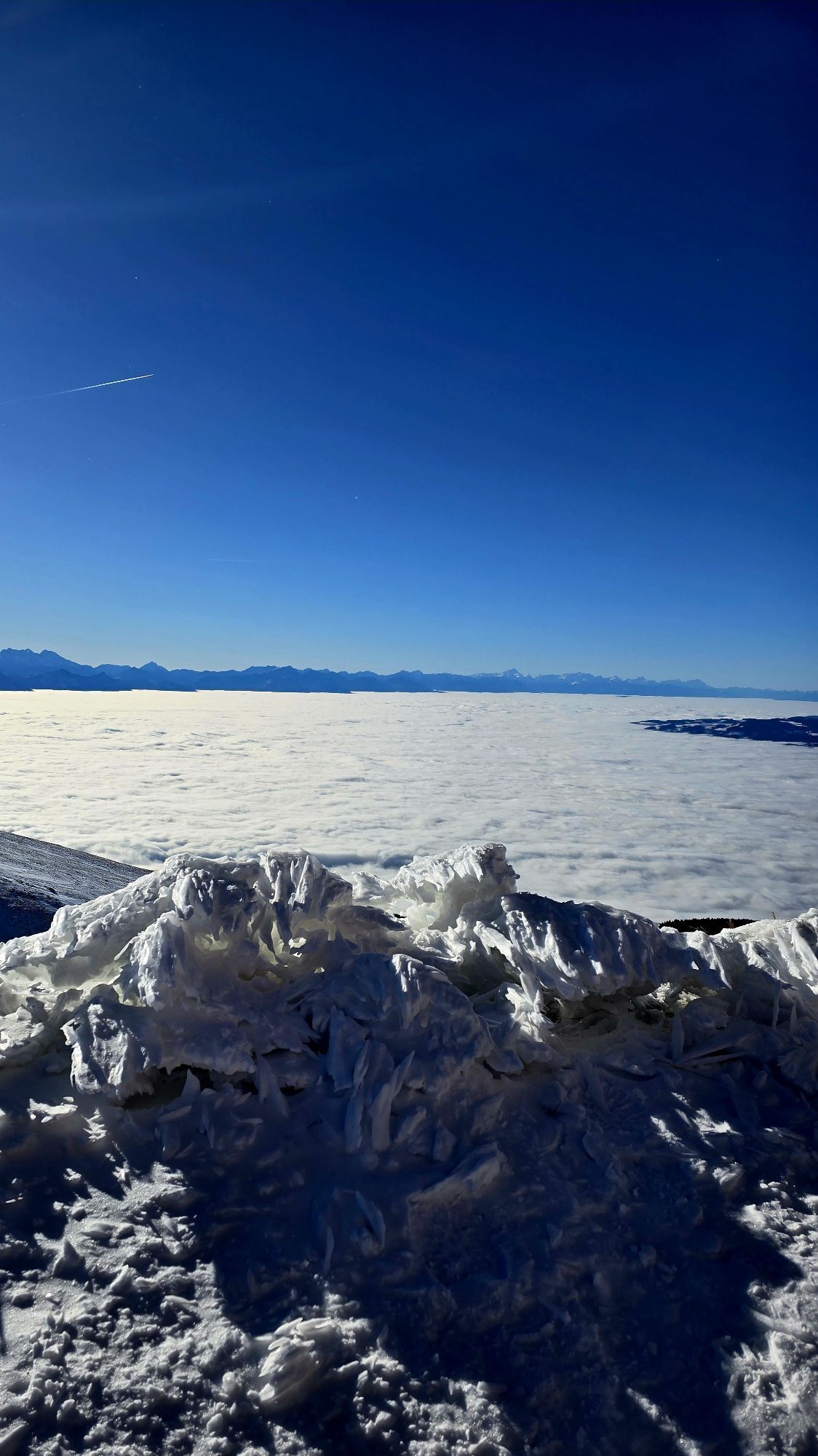
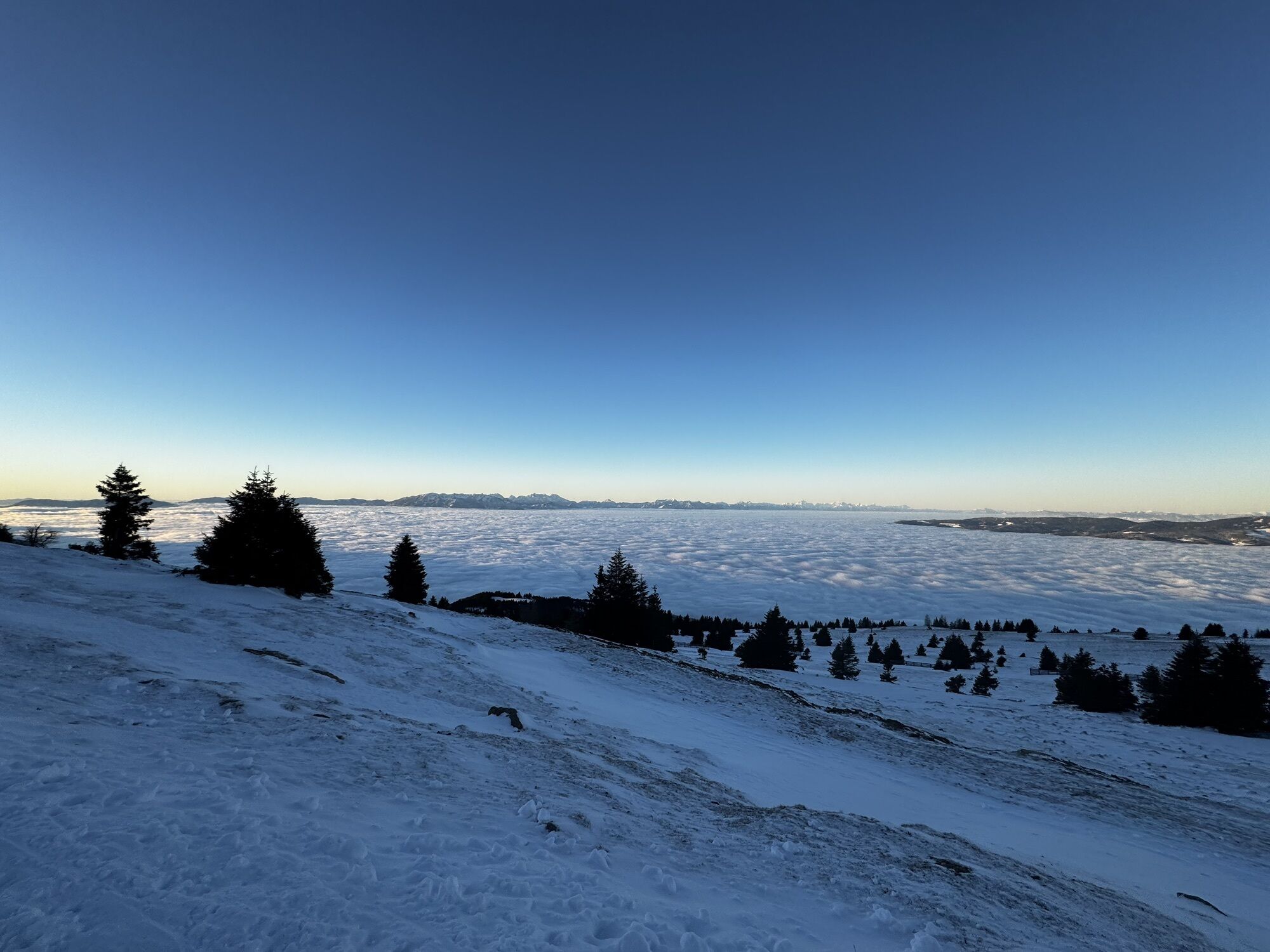
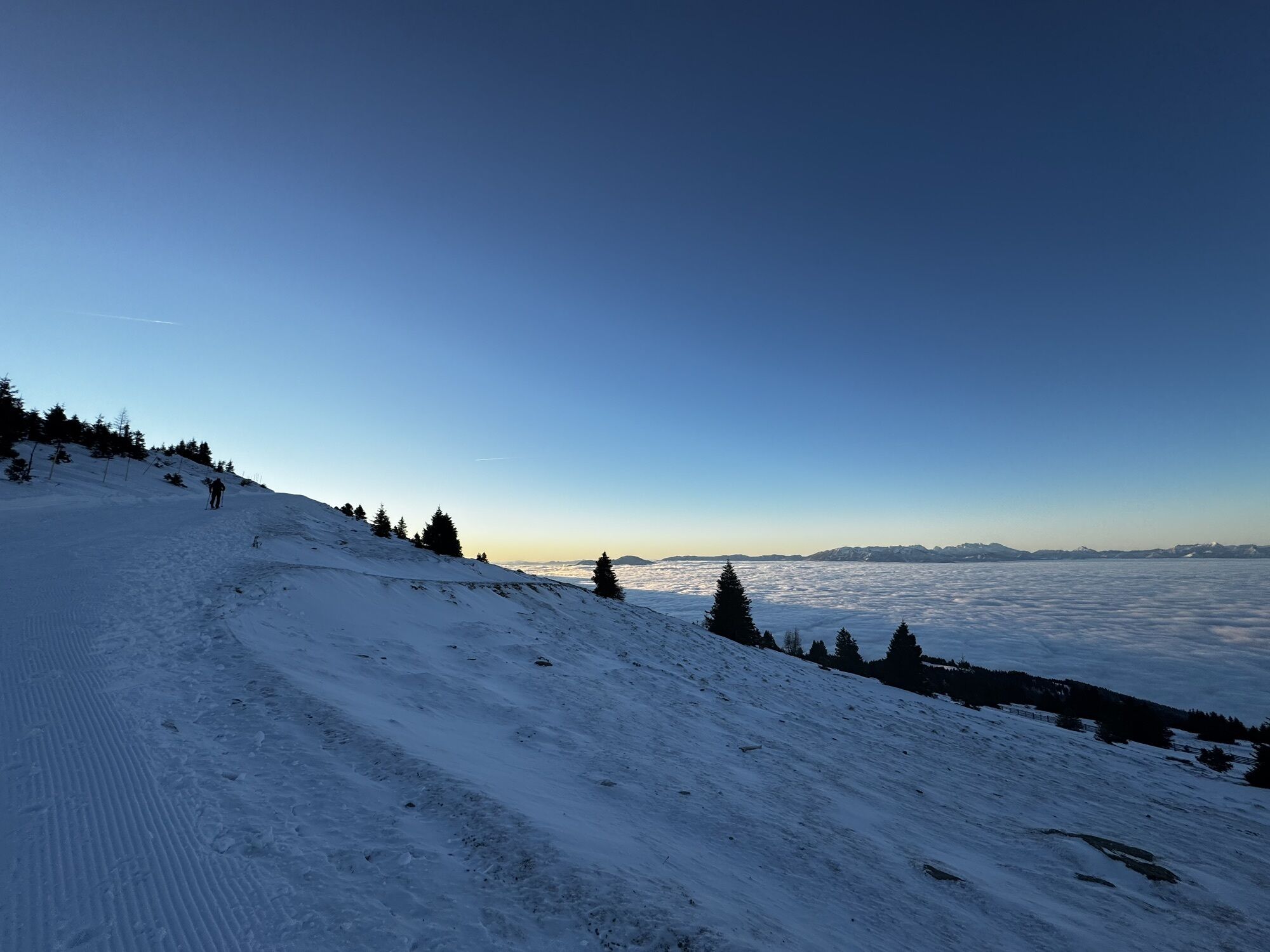
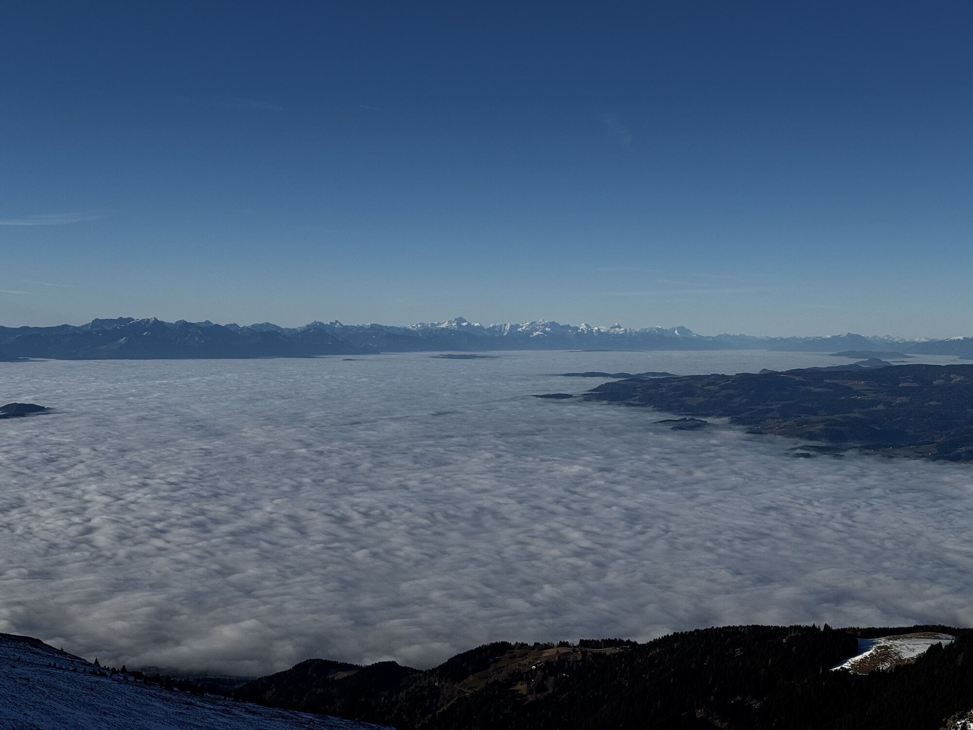
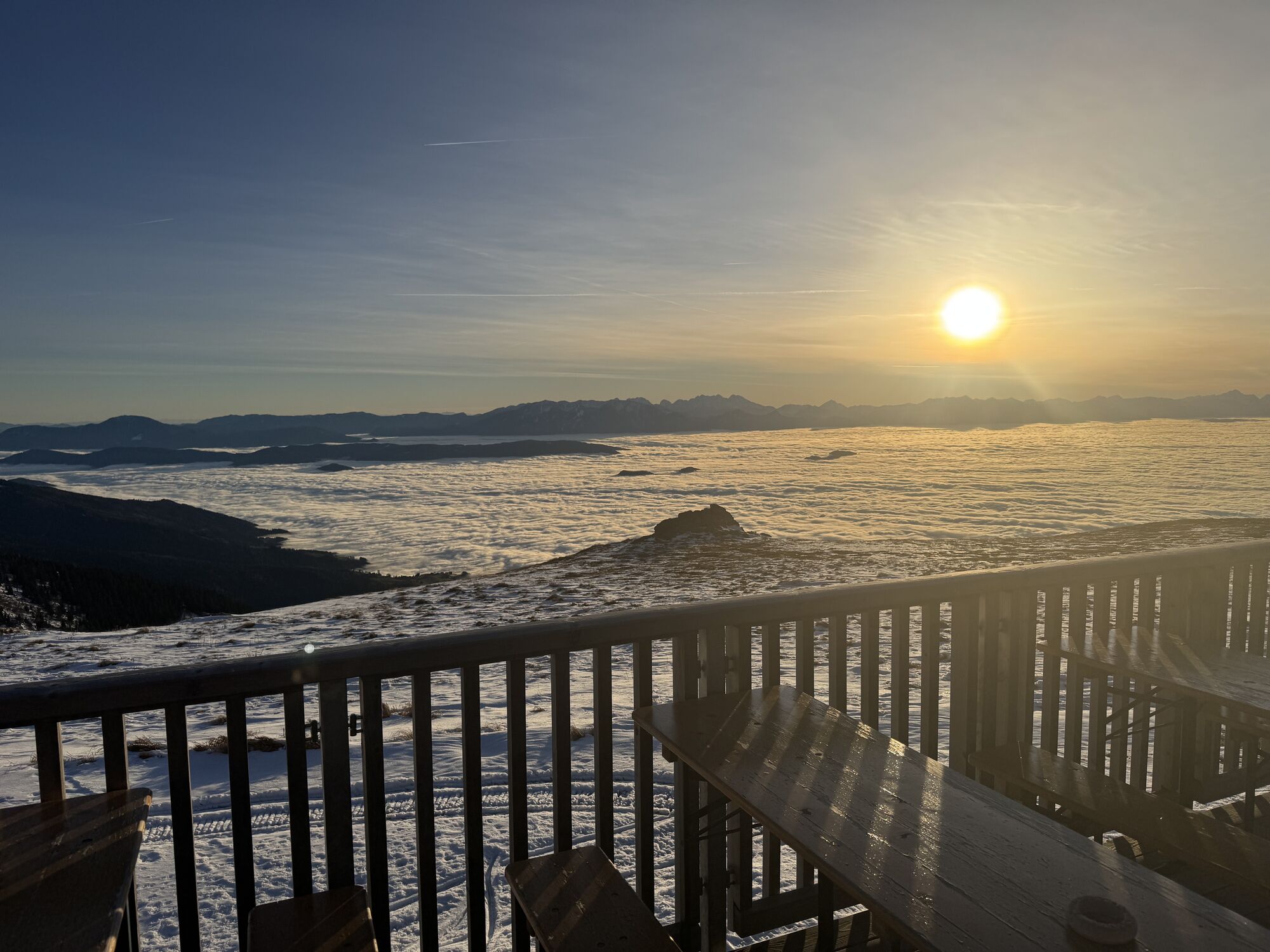
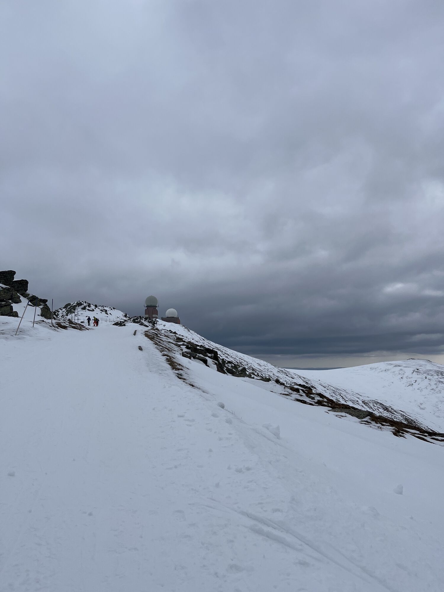
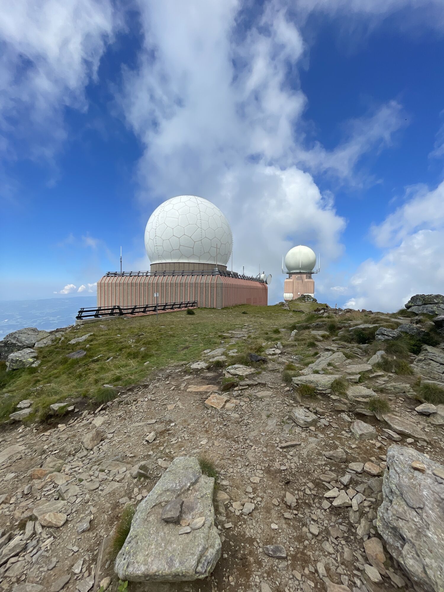
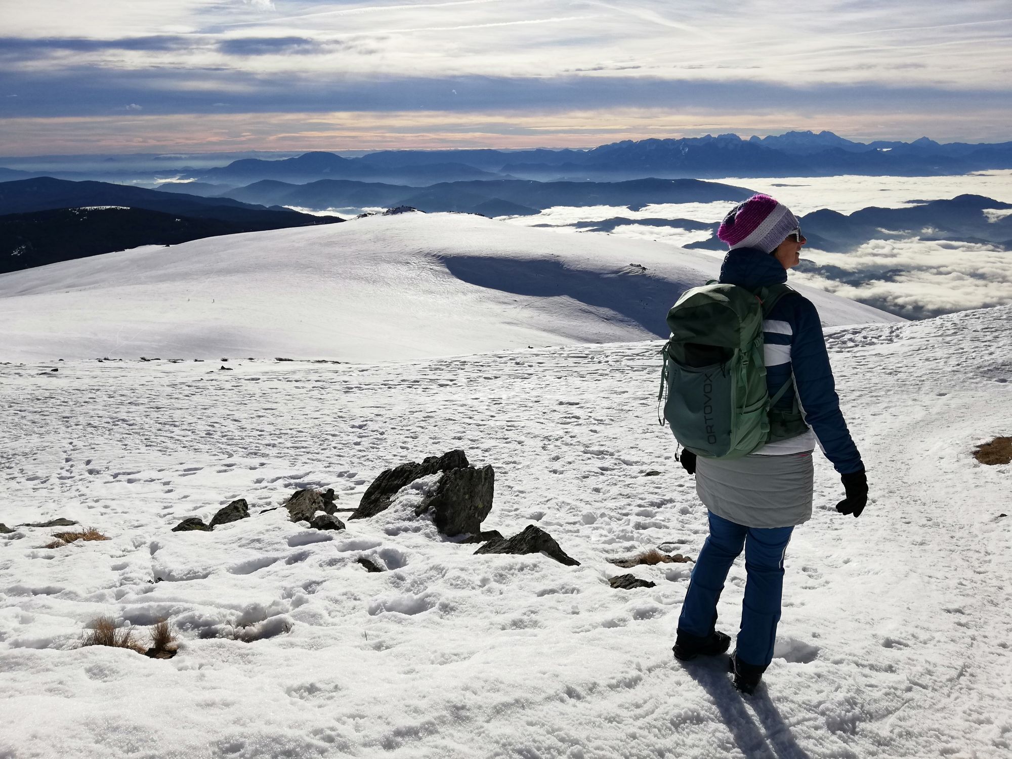
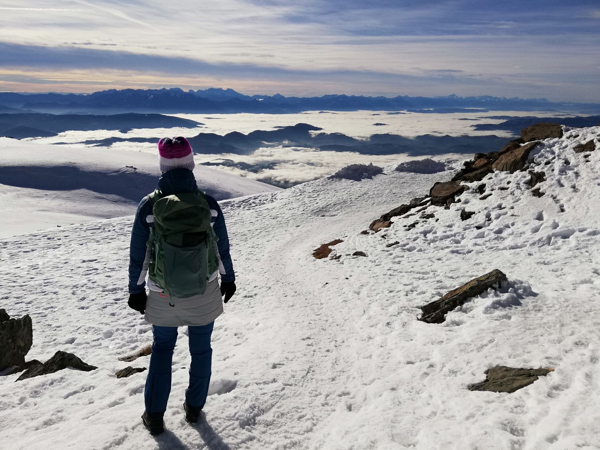
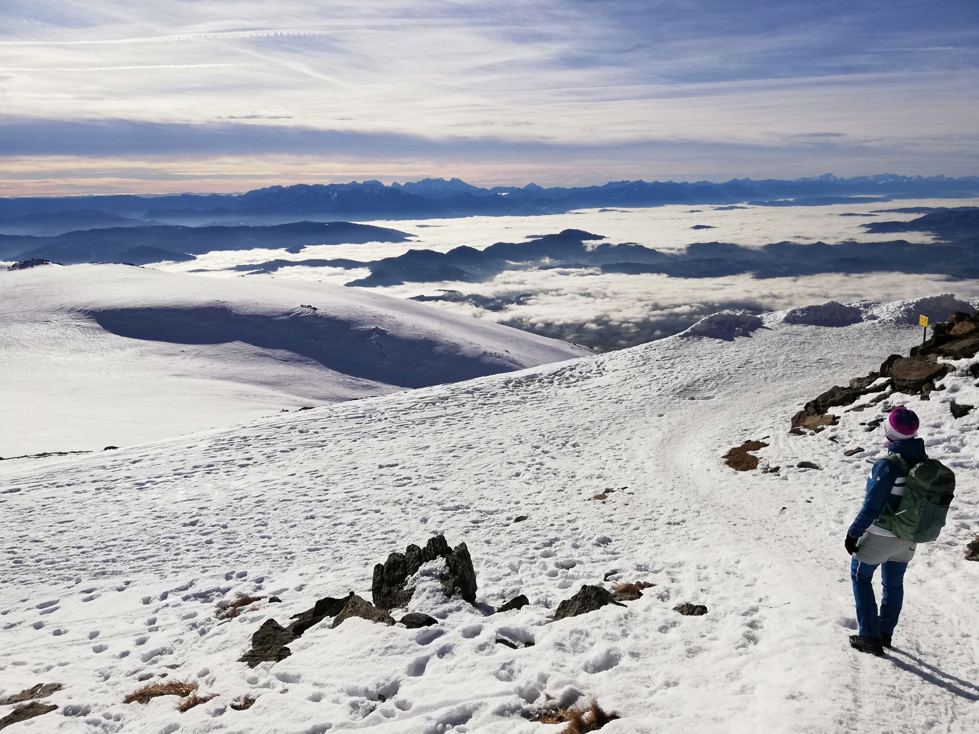
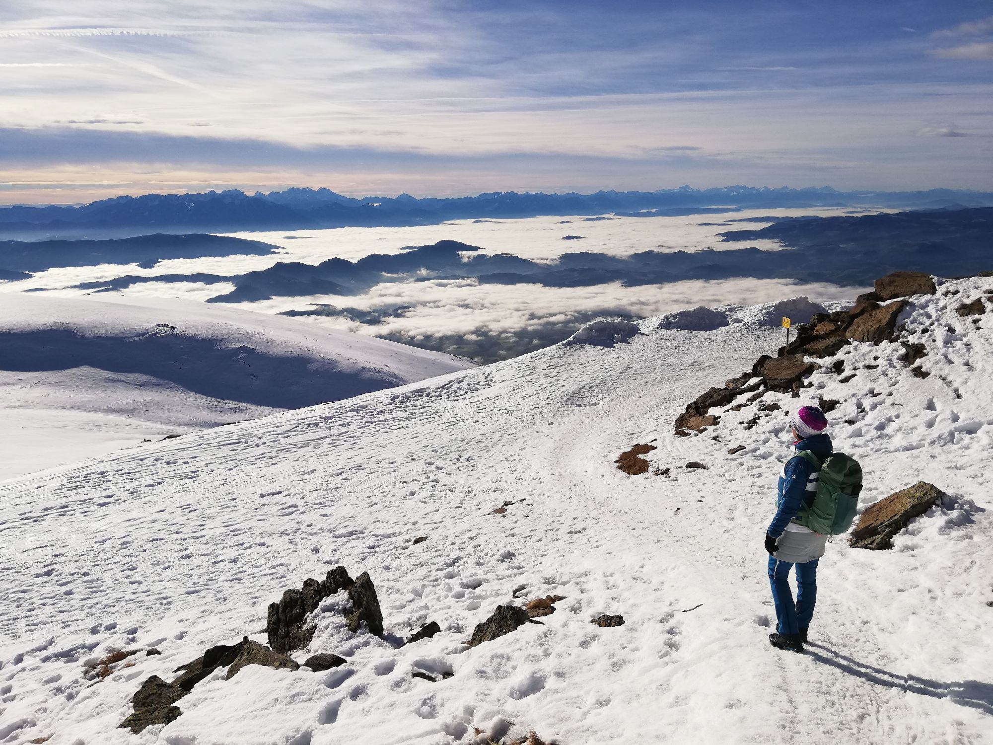
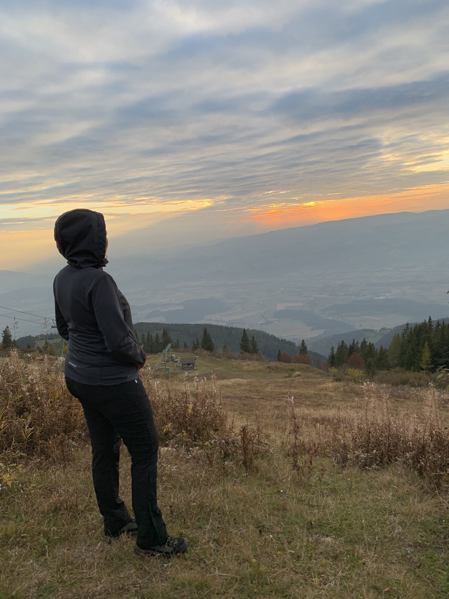
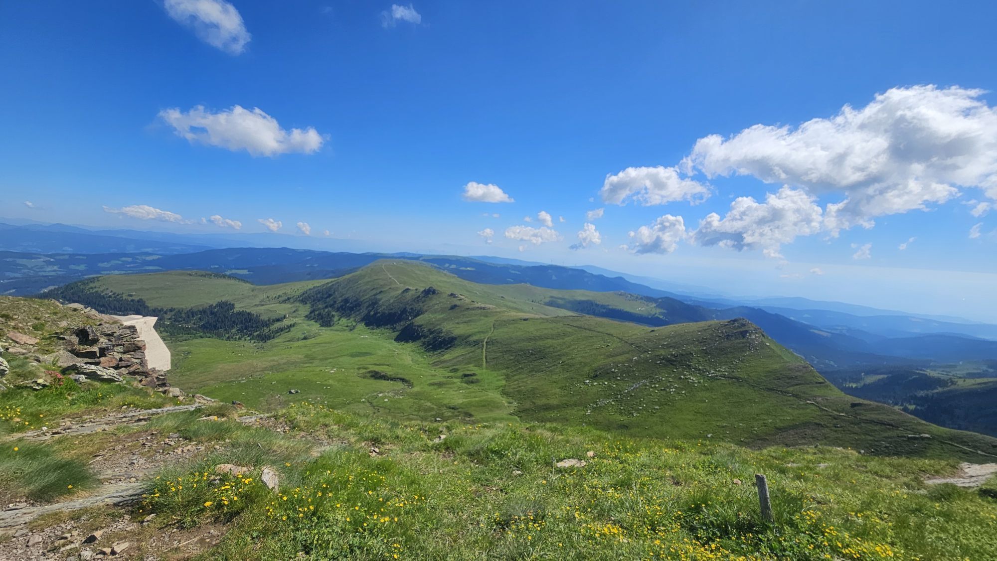
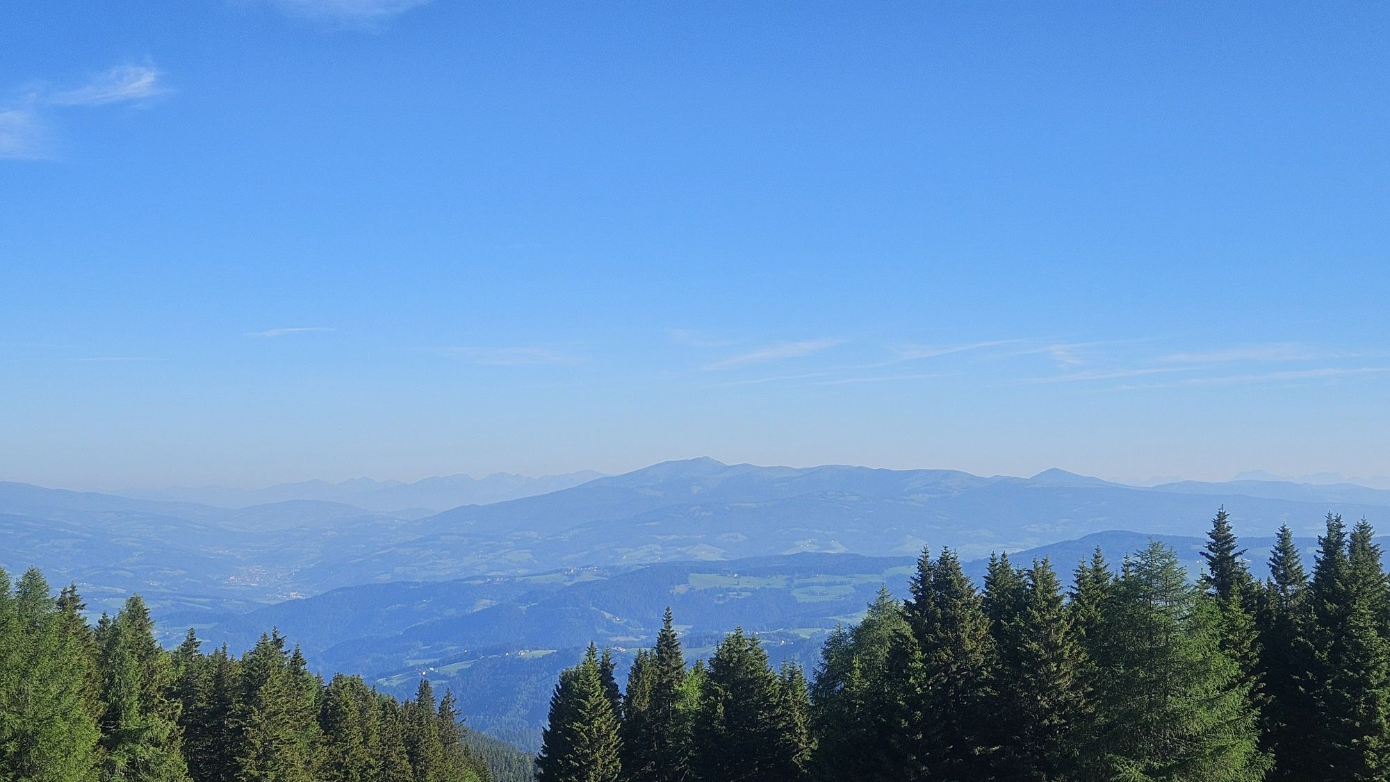
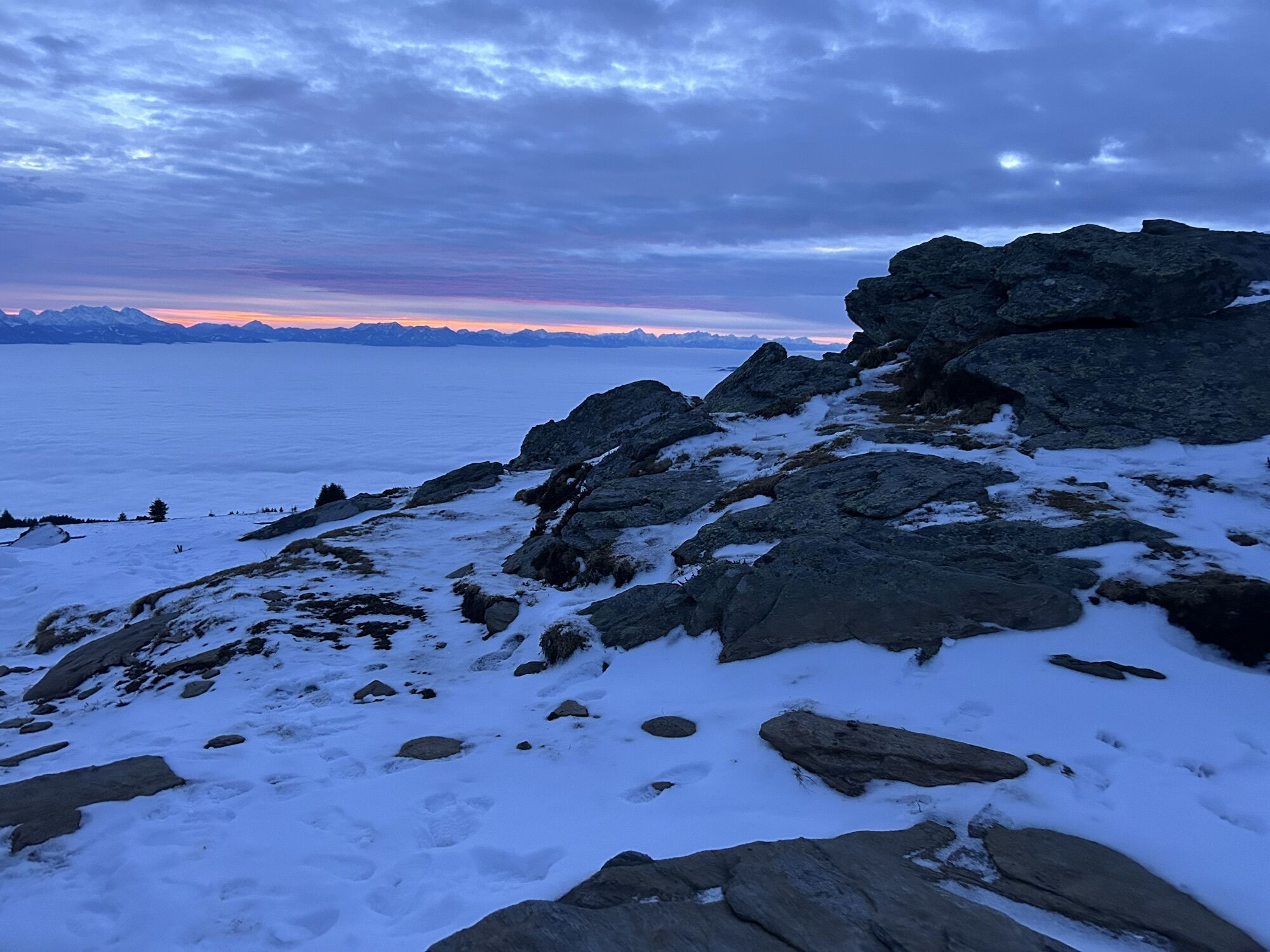
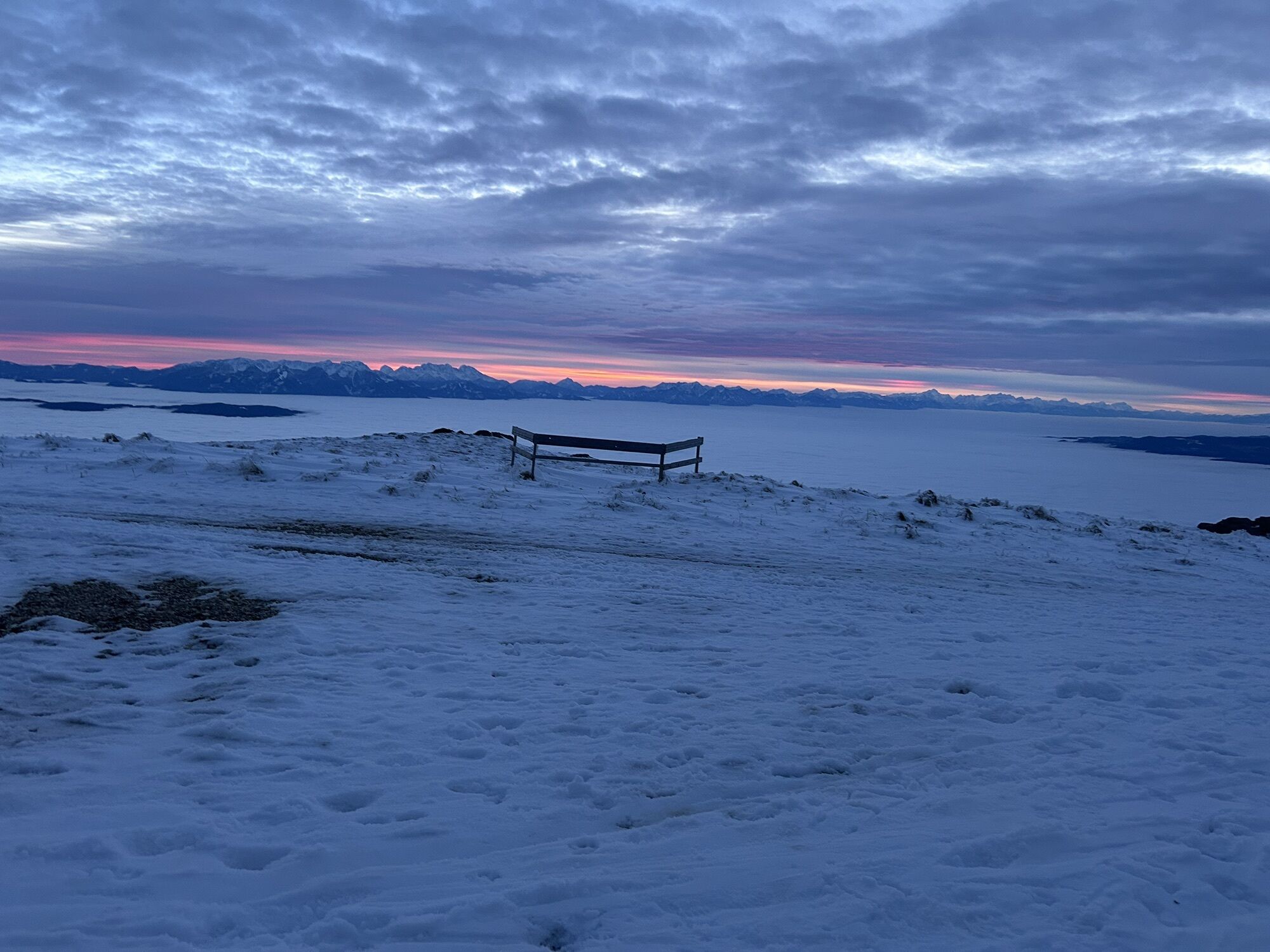
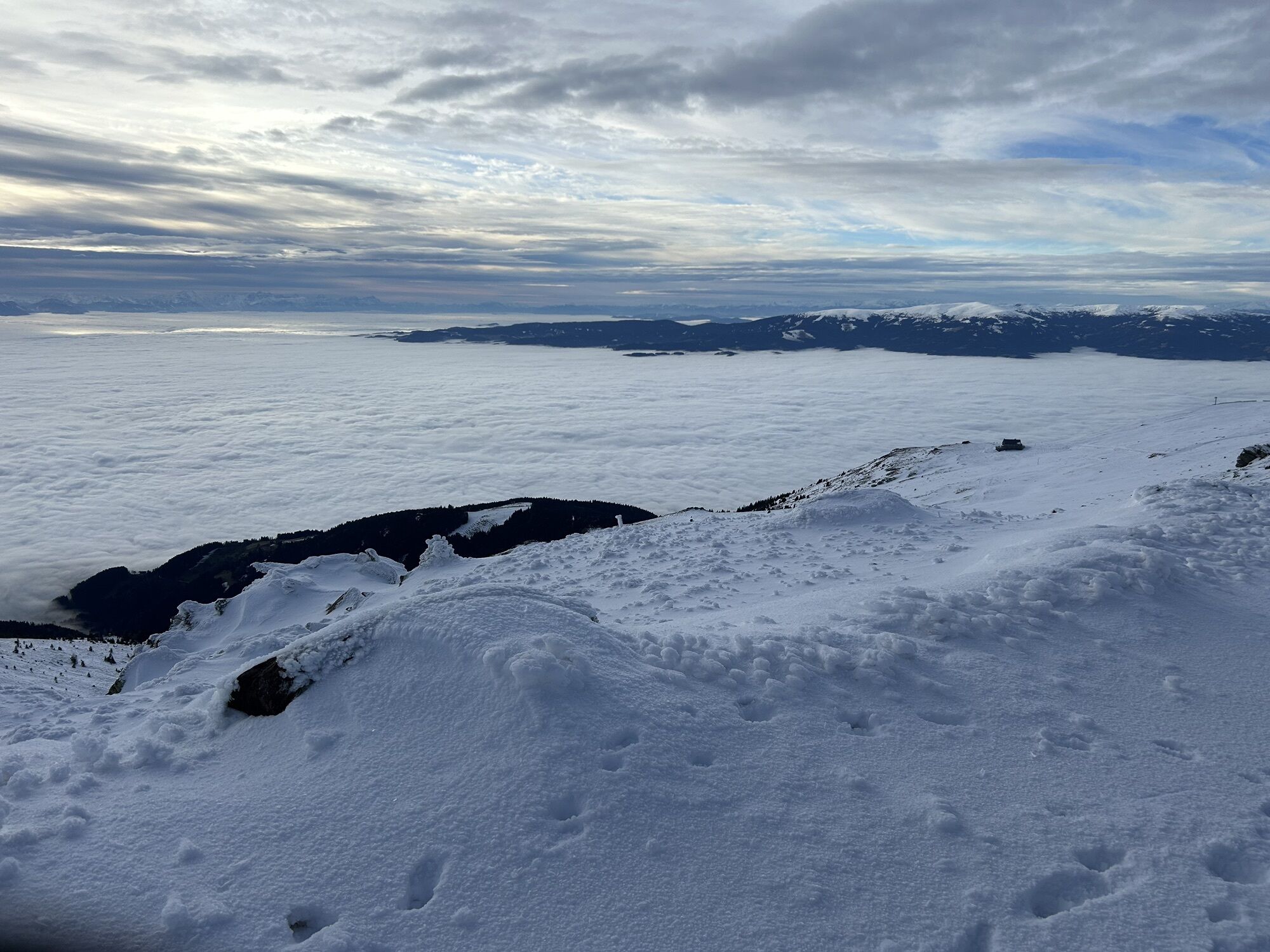
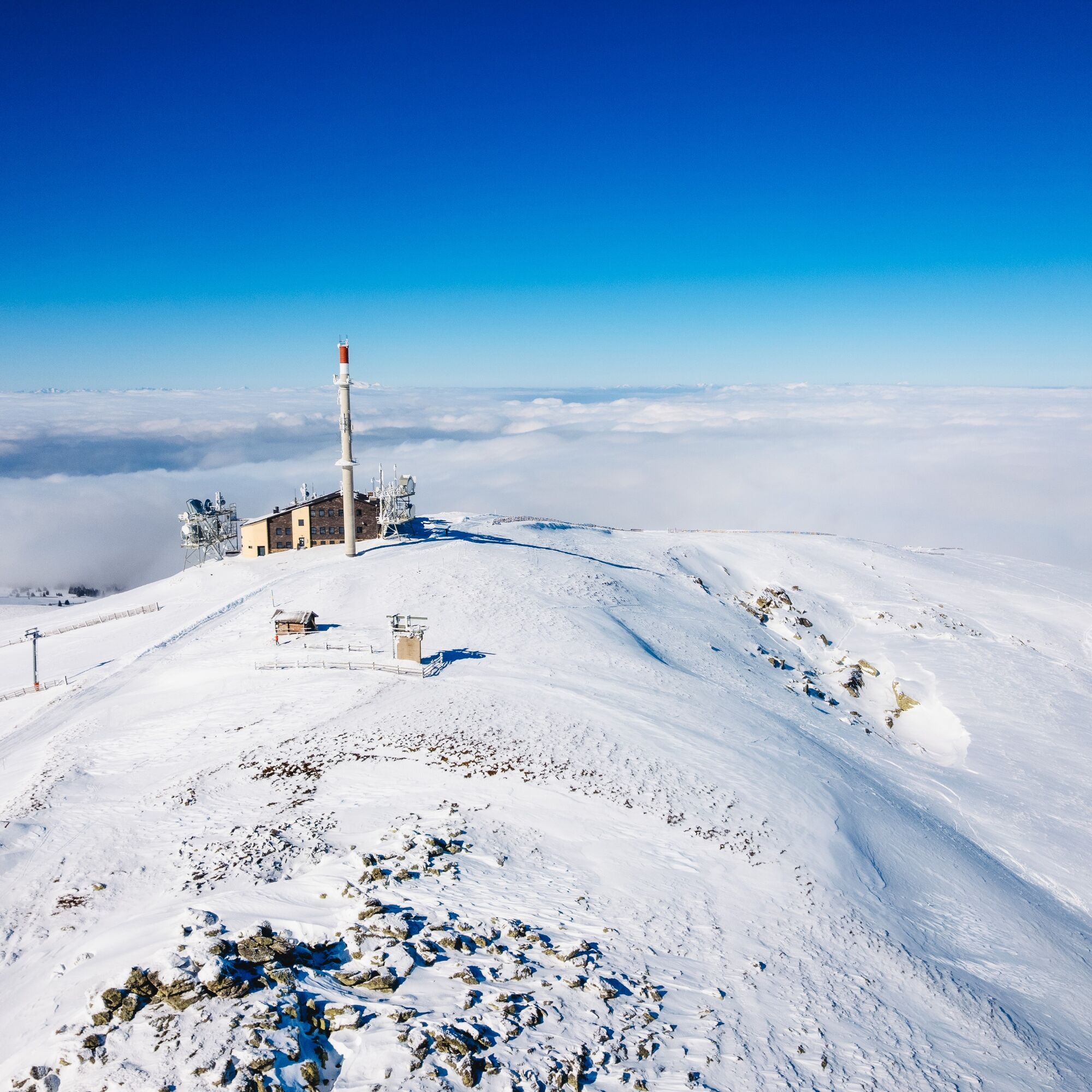
From the Koralpe parking lot, head west on the panorama trail towards Goding, to the sunny side of the Koralpe. The goal and highlight of the route is the Großer Speikkogel with a breathtaking 360° panorama at 2140 meters. The unforgettable view helps you forget everyday stress.
Attention when walking or crossing ski slopes!
More info at Safe & Fair Ski Touring.
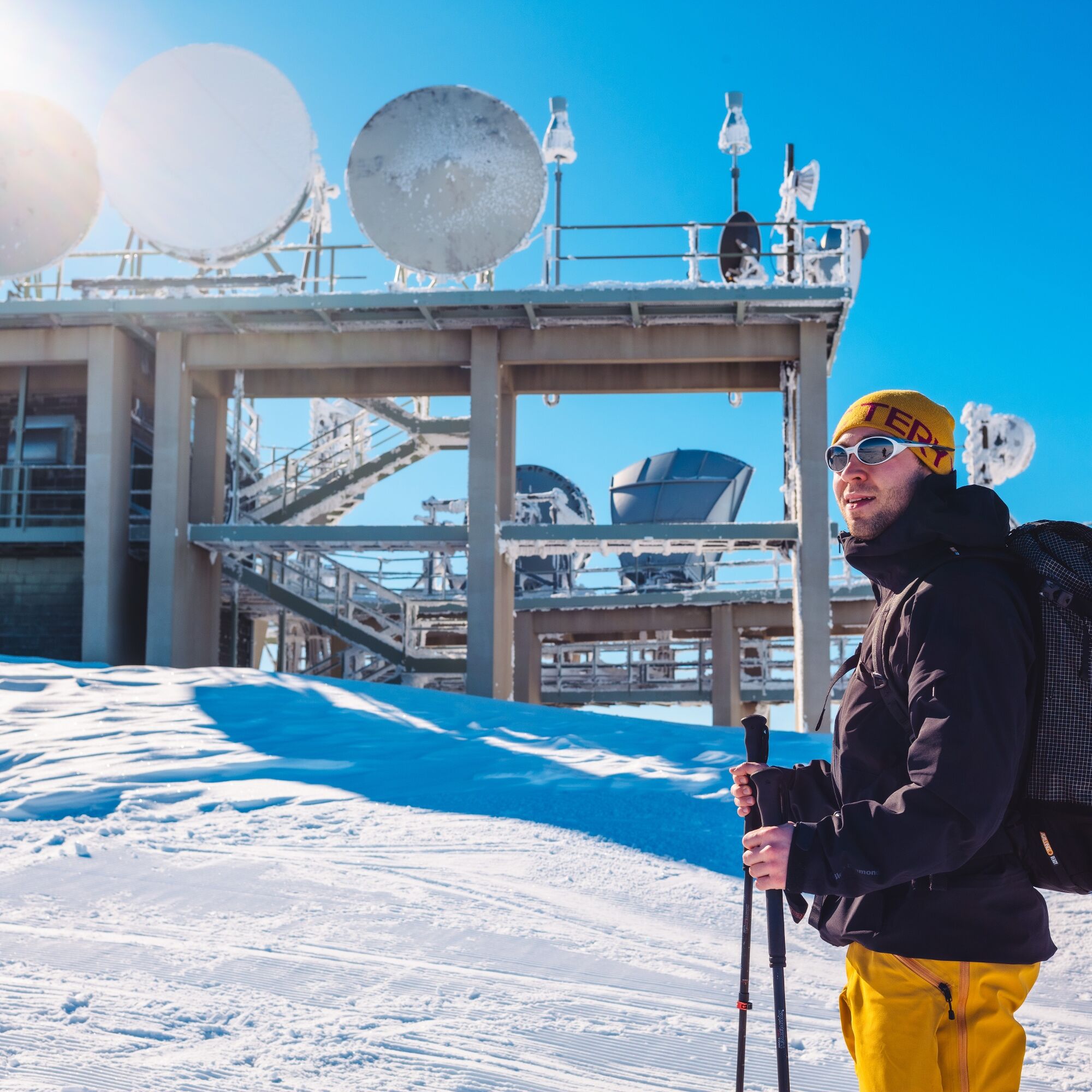
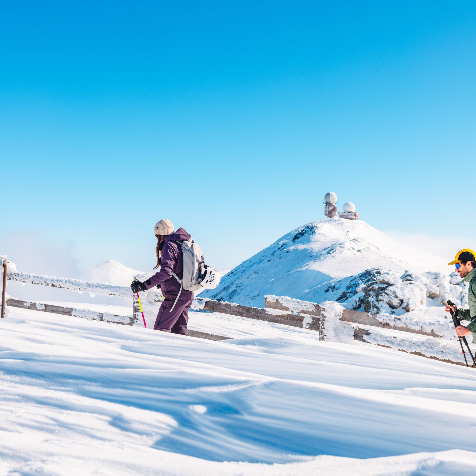
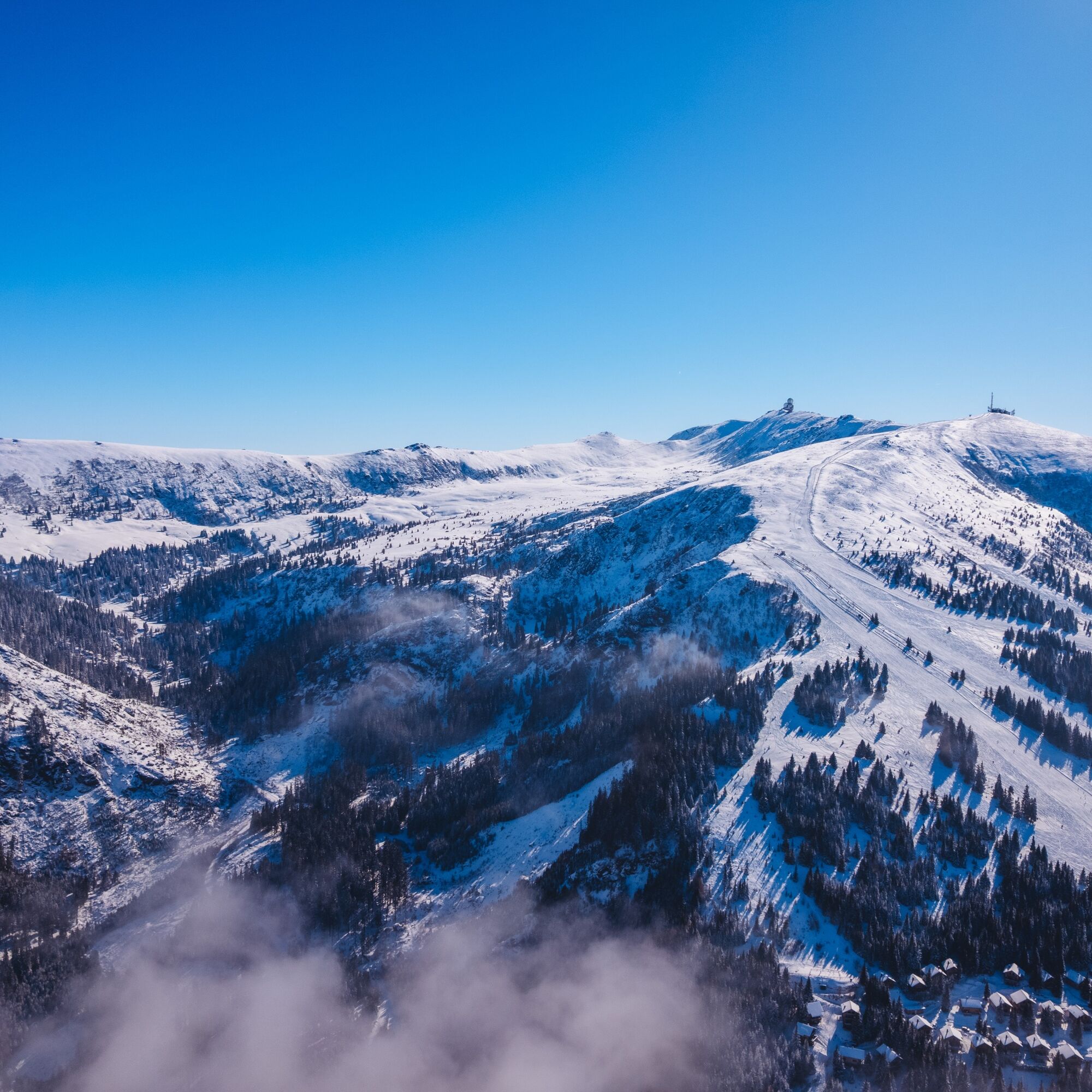
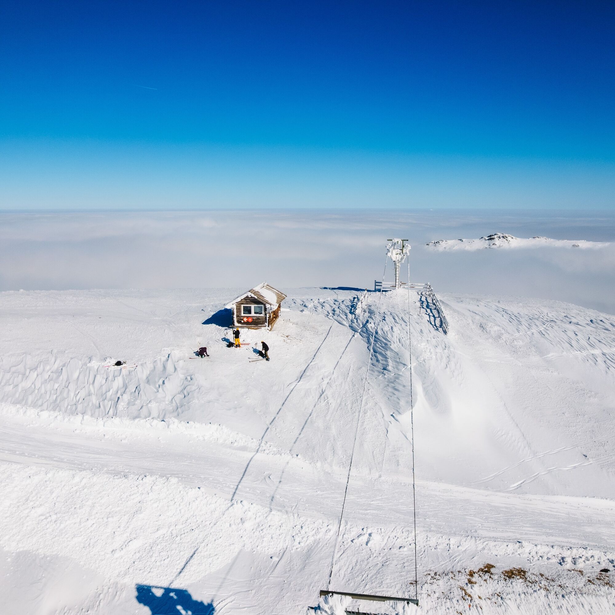
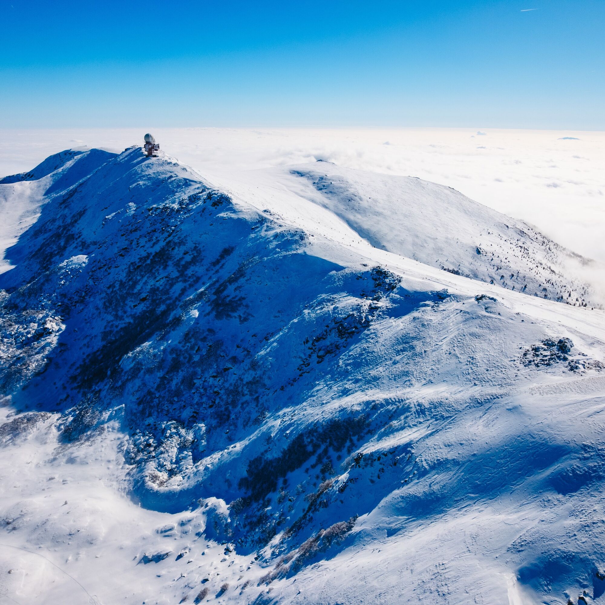
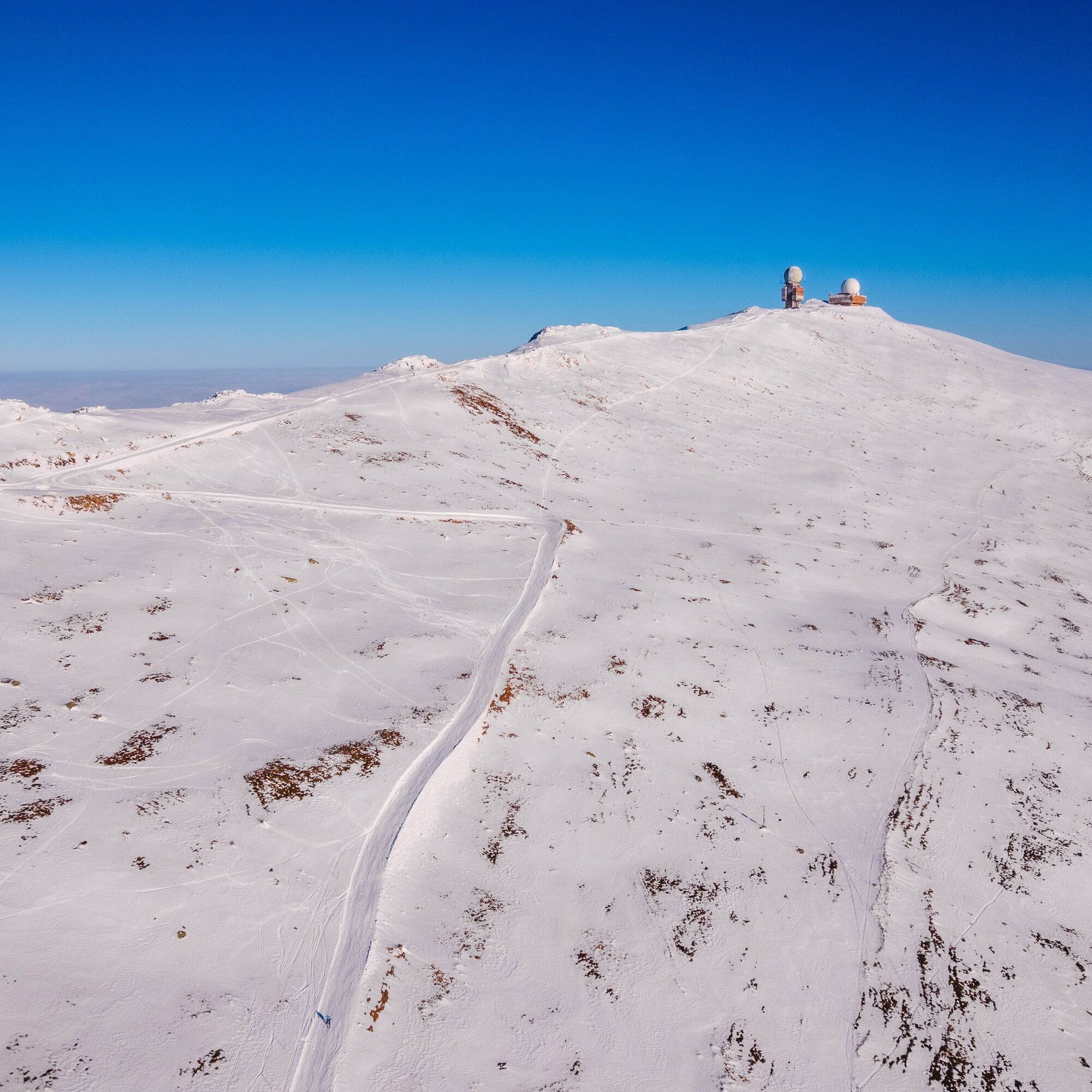
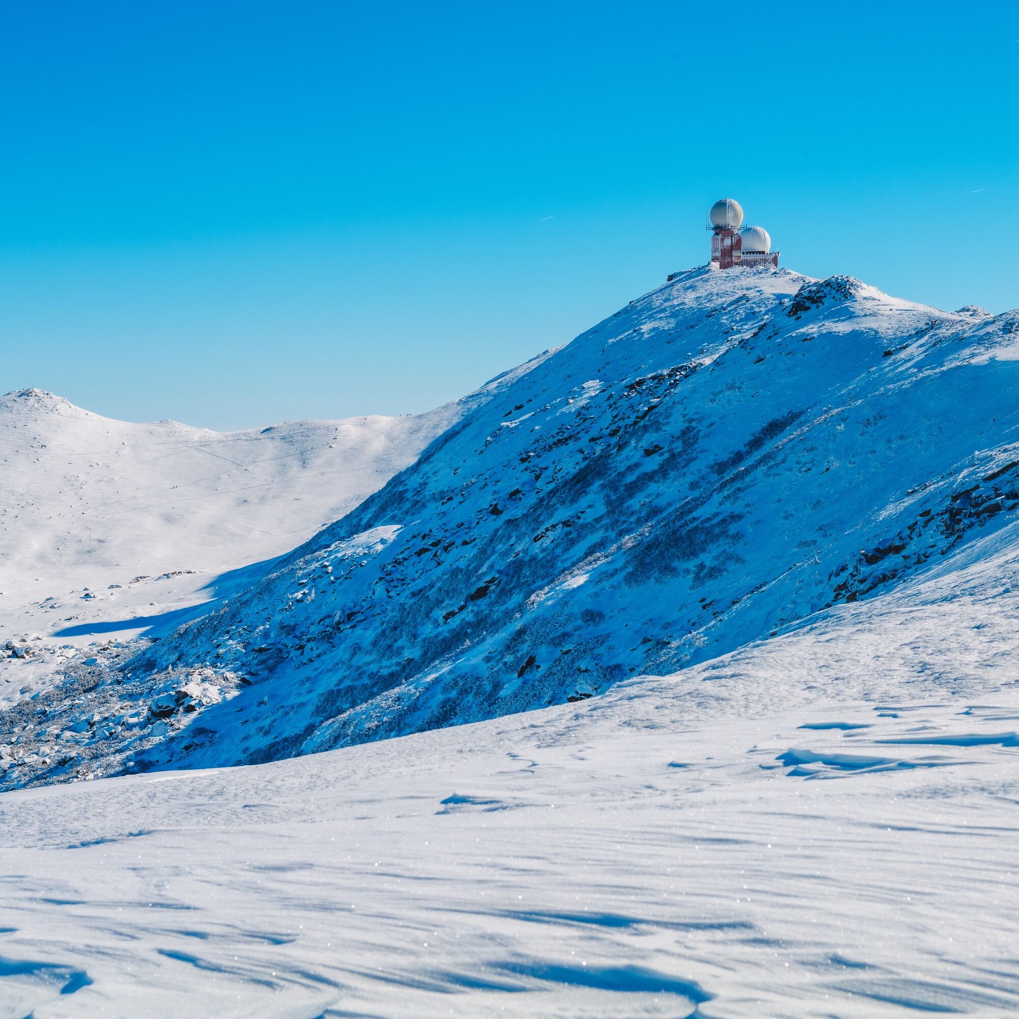
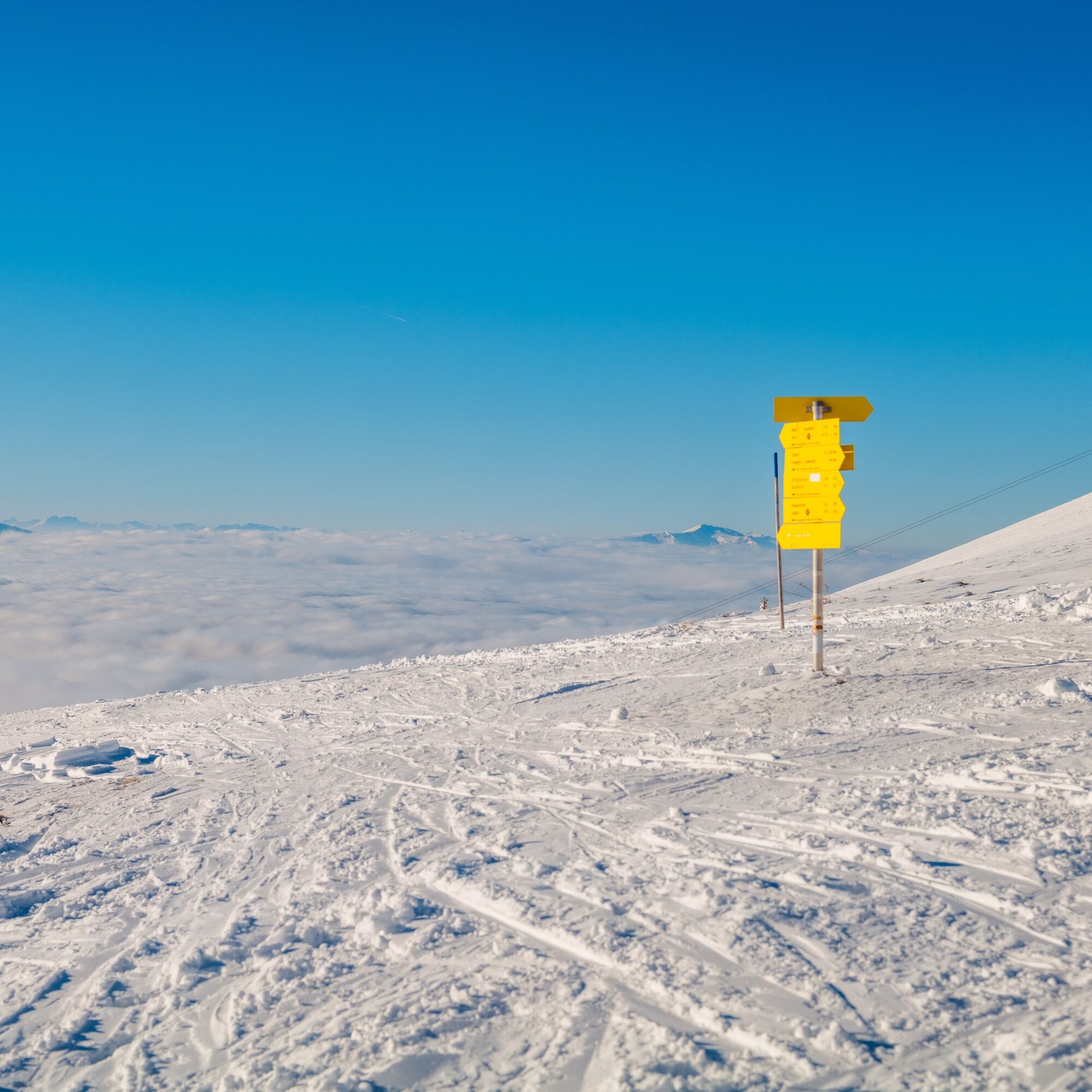
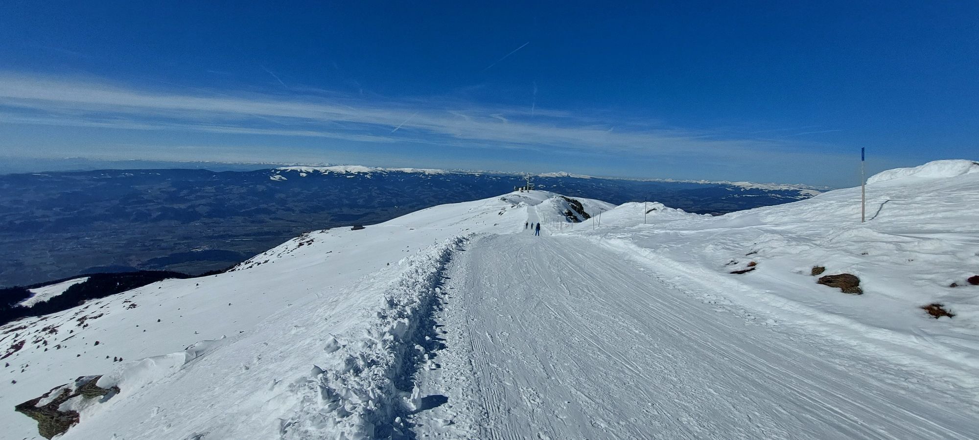
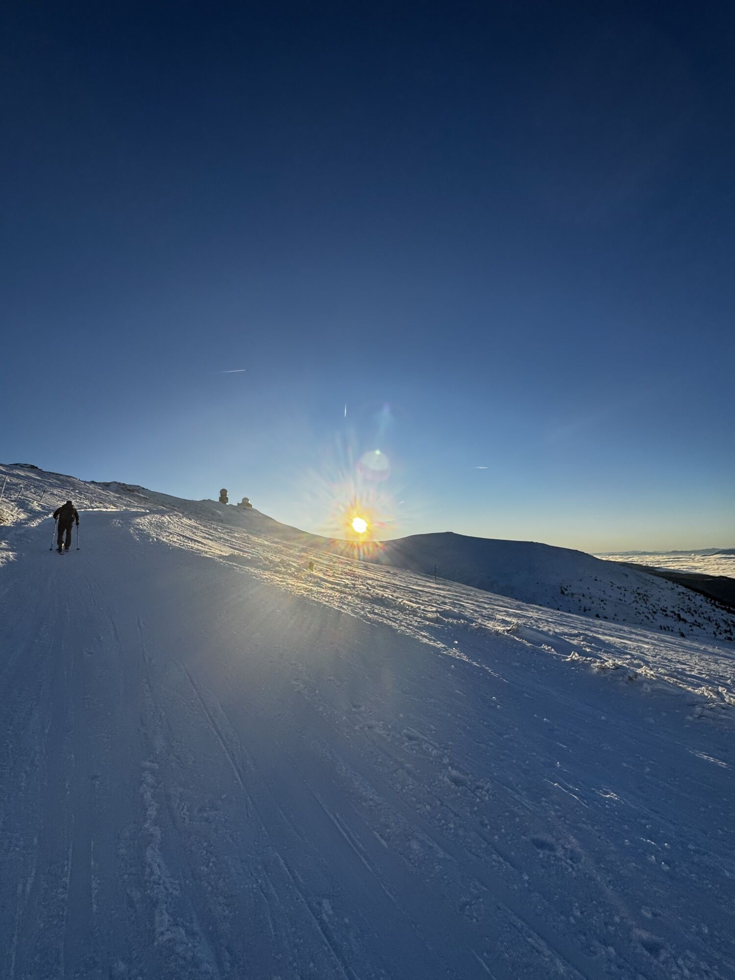
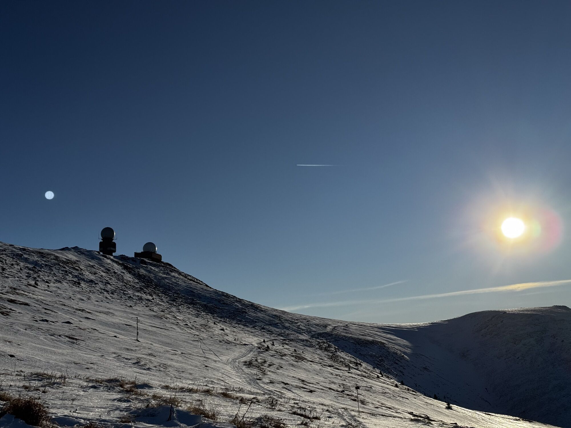
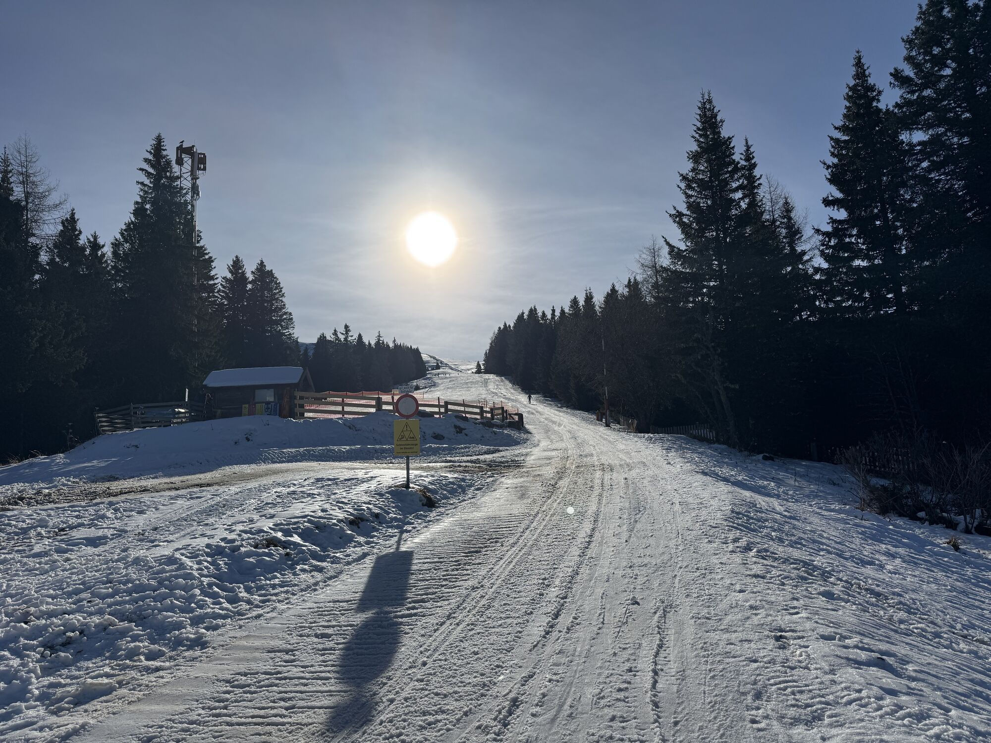
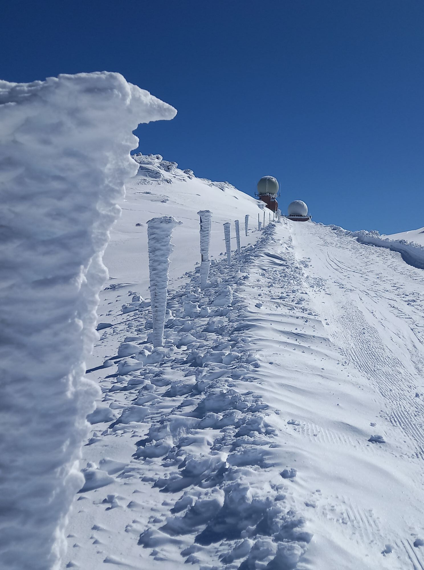
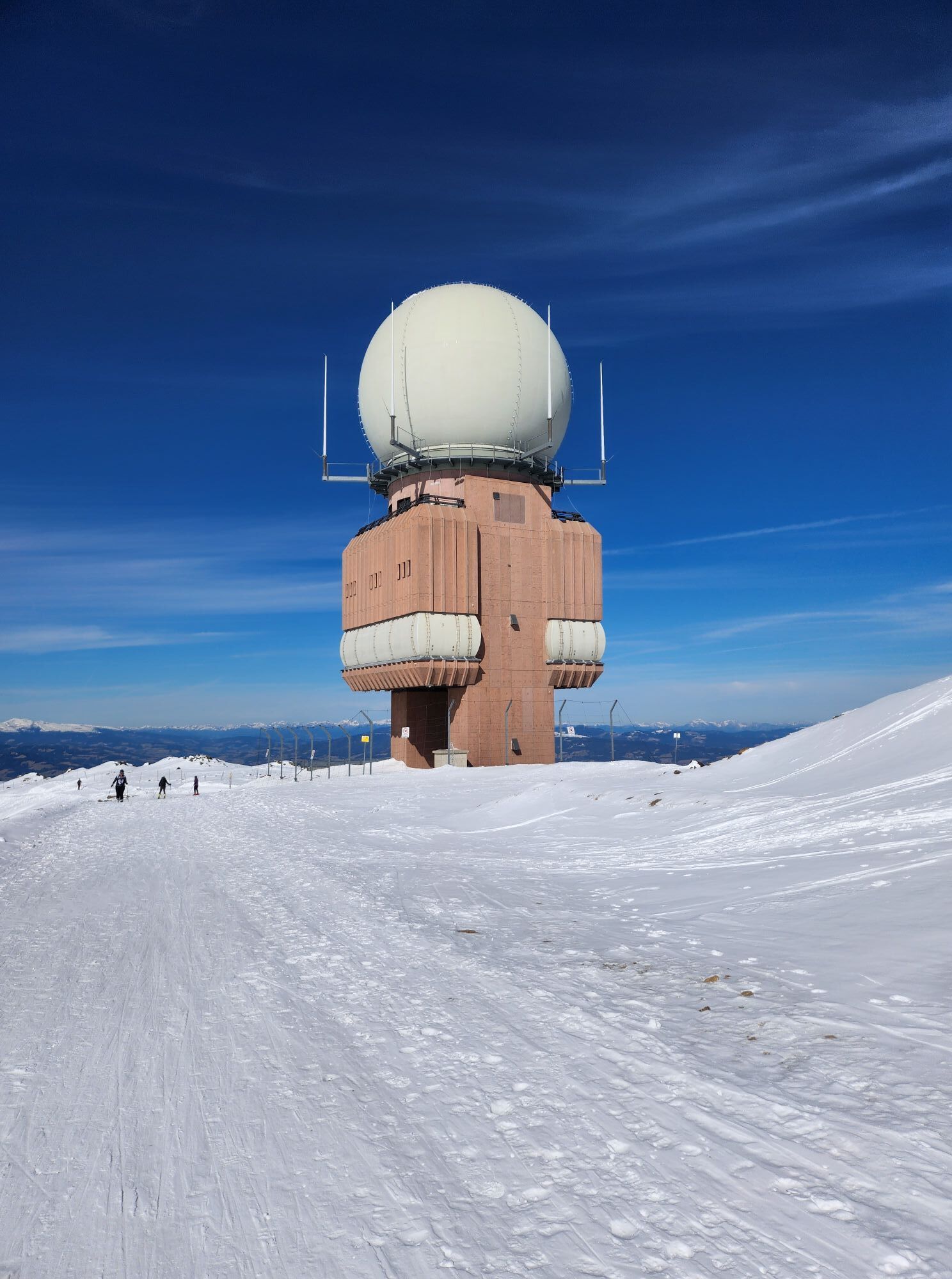
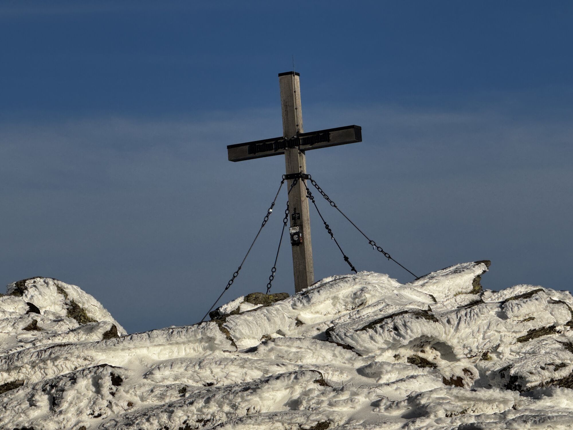
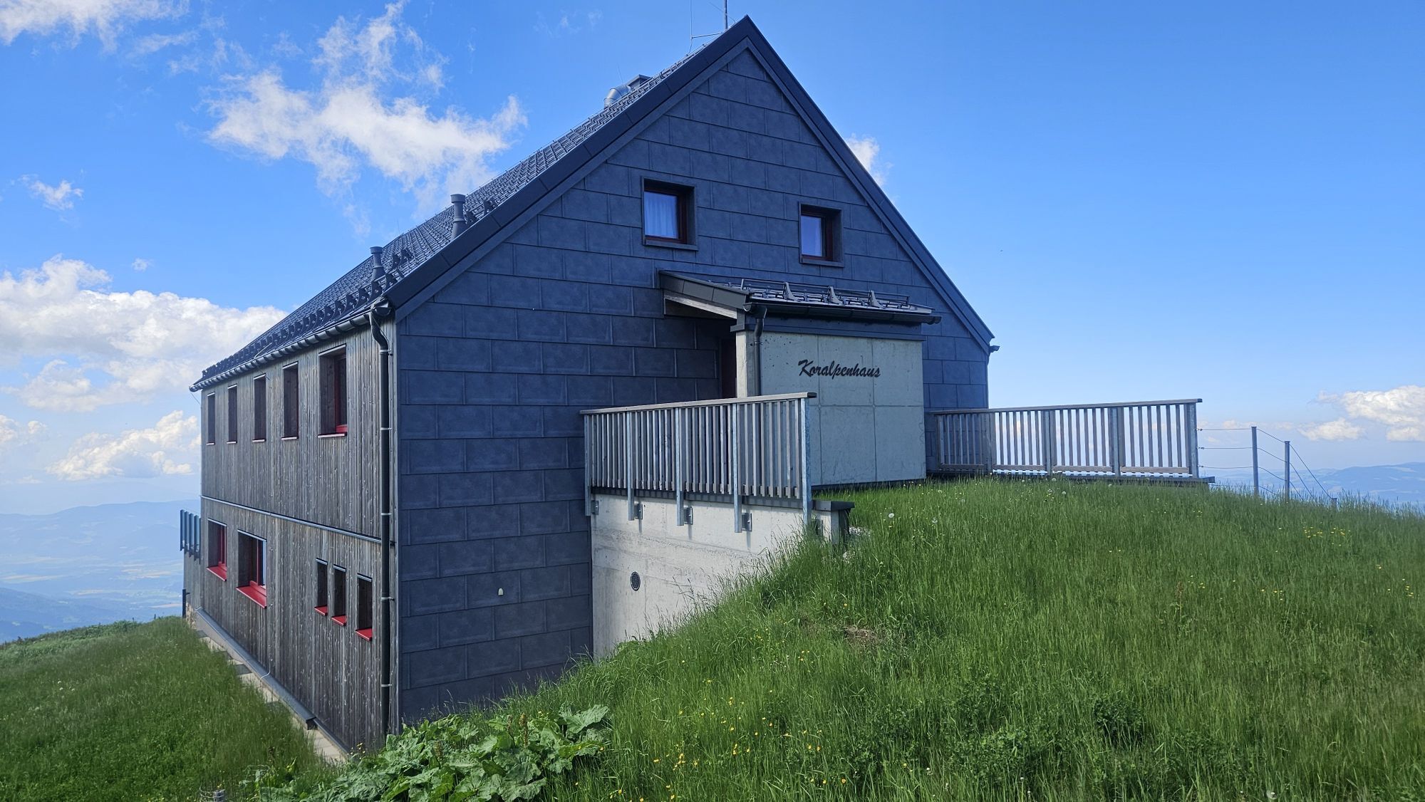
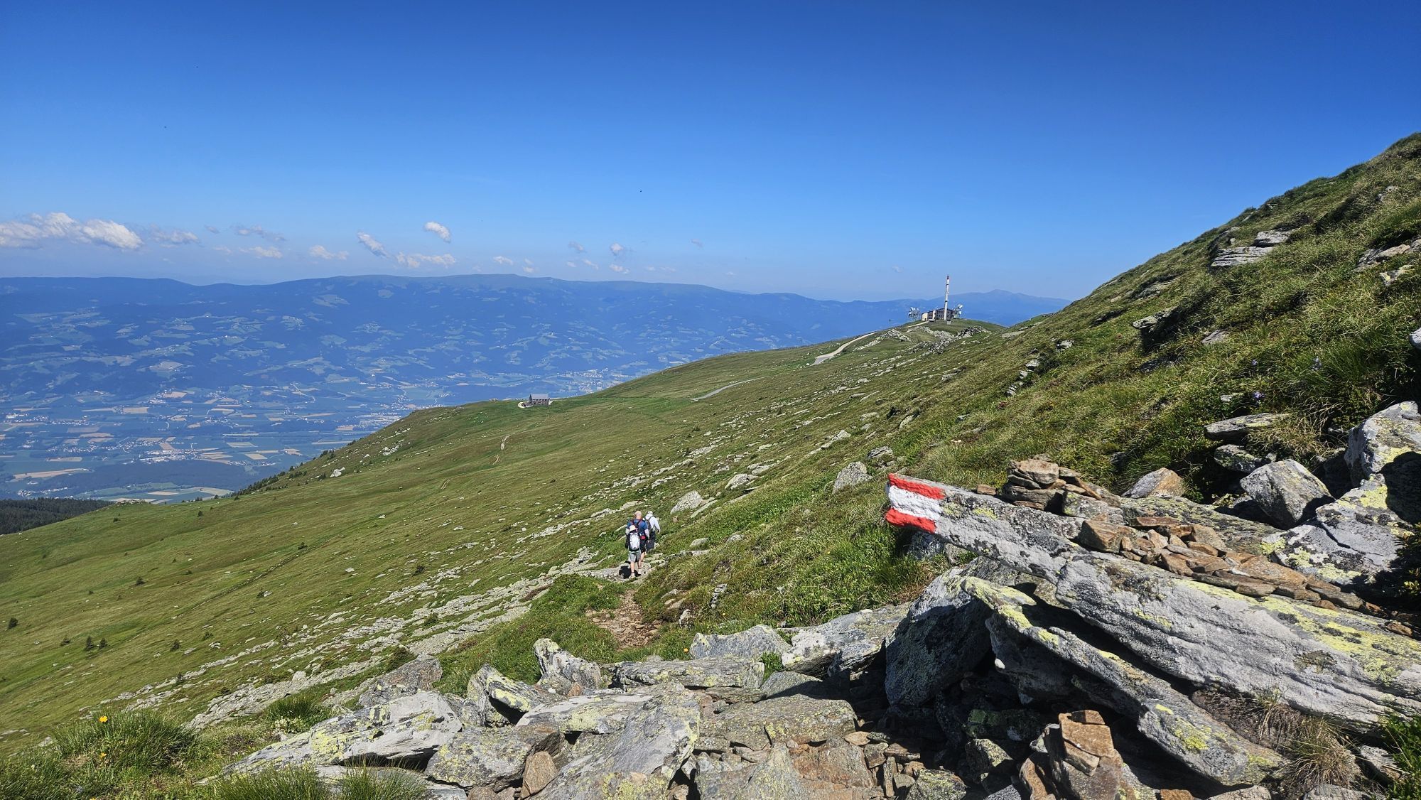
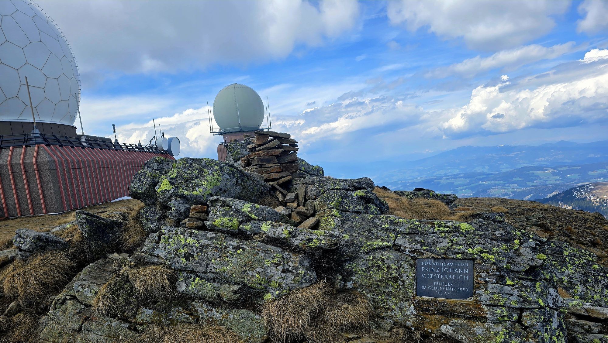
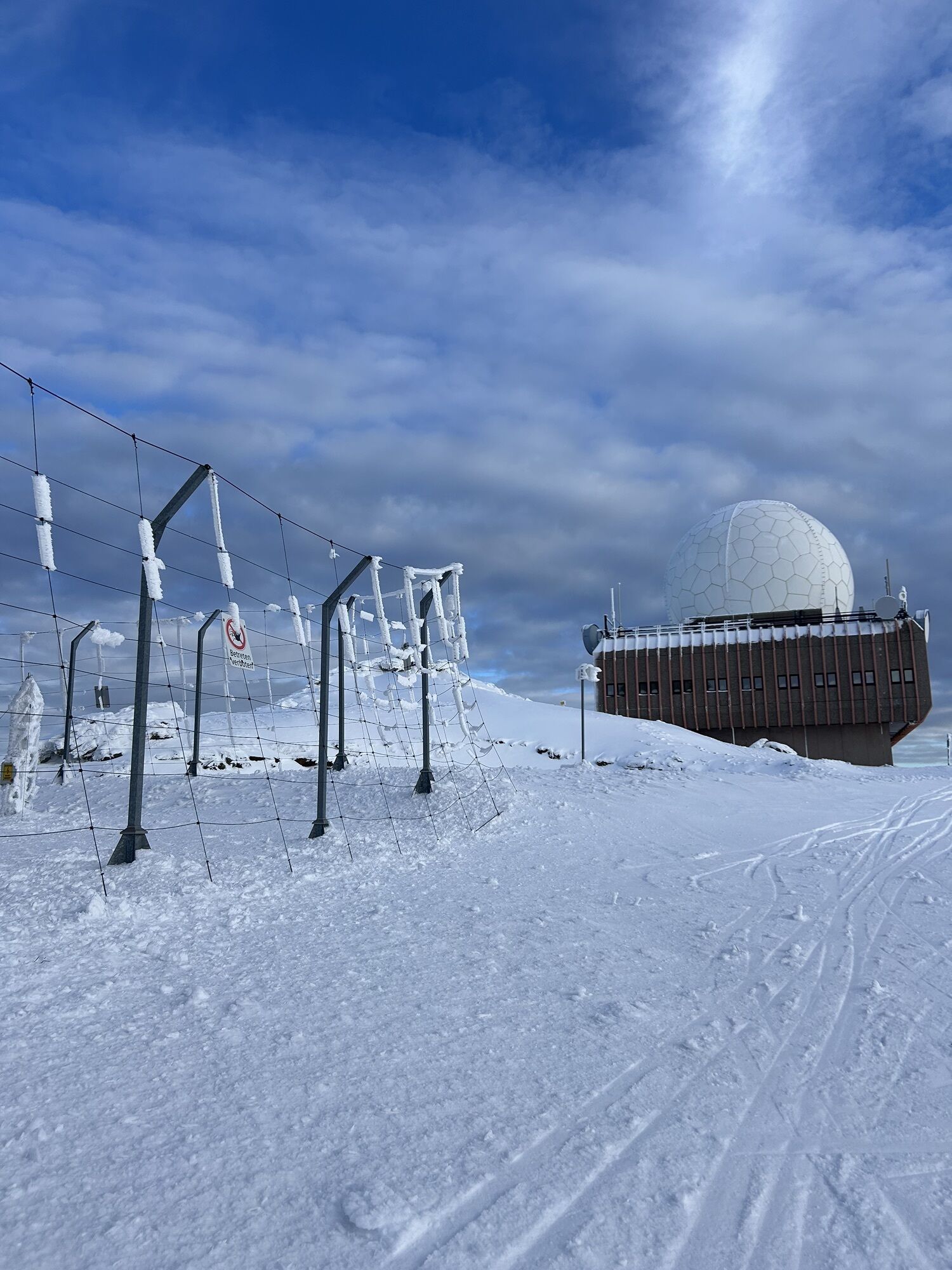
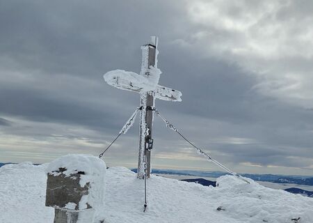
From the Koralpe parking lot (1627 m), follow the panorama trail westward, with a beautiful view of the Lavant Valley towards Goding. After about 3 km, you reach Goding or the Alpengasthaus Sonnhof. From here, follow the ÖAV trail no. 595 uphill to the east to the Koralpe House. Only a short ascent remains, and the summit is reached. After a short break at the summit cross, follow the snow pole-marked and prepared path for about 4 km back to the Koralpe parking lot.
Tak
Tak
Snowshoes
Hiking poles
Winter hiking boots
Functional underwear
Warm softshell pants
Hiking backpack
GPS
10 recommendations from the ÖAV
Healthy in the mountains: The valuable stresses for heart and circulation require health and good self-assessment. Avoid time pressure and choose a pace so that no one in your group gets out of breath. Watch your energy reserves for the descent. Careful planning: Maps, guidebooks, internet, and experts provide information about the length of the route, elevation difference, difficulty, and current conditions. Special attention should be paid to the weather forecast, as strong winds and poor visibility greatly increase accident risk. Study the avalanche report: Inform yourself thoroughly about the current danger level (European avalanche danger scale with 5 levels) before starting the route. Pay special attention to information about danger spots (Where is it dangerous today?) and sources of danger (What is the main danger today?). Complete equipment: Adapt your equipment to winter conditions and keep backpack weight low. For avalanche emergencies, an avalanche transceiver, shovel, and probe are standard, as well as a first aid kit, bivy sack, and mobile phone. An airbag system increases survival chances. Regular drinking breaks: Fluid, energy, and breaks are necessary to maintain performance and concentration. Hot, isotonic drinks are ideal thirst quenchers and heat providers. Easily digestible snacks like muesli bars, dried fruit, and cookies satisfy light hunger on the way. Weigh avalanche risk: Human ability to recognize avalanche danger is limited. Base your decisions on strategic risk assessment methods ("Stop or Go") and learn to recognize danger signs in the terrain. Small groups: Small groups enable mutual help and reduce the risk of triggering avalanches. Stay together in the group. Caution solo hikers: even small incidents can lead to serious emergencies. Therefore, always inform trusted persons about your destination, route, and return. Respect for nature: Do not leave any waste, avoid noise, do not enter reforestation areas, respect protected and restricted zones. Show special consideration for wildlife in winter! For travel, form carpool groups or use public transport.More info on route choice, safety, and dangers when snowshoe hiking can be found at ÖAV Snowshoe Hiking Safety Tips.
From Graz/Klagenfurt: A2 South Motorway - Wolfsberg South exit - 1st roundabout second exit towards St. Stefan/Koralpe - 2nd roundabout second exit towards St. Johann/Koralpe - after about 500 m turn left following the sign/Koralpe - about 8 km to the Koralpe parking lot.
see plan route
no public transport connection
Koralpe parking lot
Kamery internetowe z trasy
Aktywności na trasie
-

Wolfsberg Wandern
09.05.2026 – Wycieczki górskie -

Koralpe Radarstation
22.02.2026 – Wędrówka -

Koralm: Schutzhaus - Gipflkreuz
22.02.2026 – Wycieczka narciarska -

Wolfsberg, Kärnten/Österreich
19.02.2026 – Wędrówka -
Sankt Andrä, Kärnten/Österreich
08.02.2026 – Wędrówka -

Sankt Andrä, Kärnten/Österreich
18.01.2026 – Wędrówka -

Wolfsberg, Kärnten/Österreich
16.01.2026 – Wędrówka zimą -

Sankt Andrä, Kärnten/Österreich
11.01.2026 – Wycieczka narciarska -
Wolfsberg, Kärnten/Österreich
11.01.2026 – Wycieczka narciarska -

Wolfsberg, Kärnten/Österreich
06.01.2026 – Wędrówka -
Wolfsberg Wandern
04.01.2026 – Wycieczki górskie -

Wolfsberg, Kärnten/Österreich
01.01.2026 – Wędrówka -

Wolfsberg, Kärnten/Österreich
28.12.2025 – Wędrówka -

Wolfsberg, Kärnten/Österreich
27.12.2025 – Wycieczka narciarska -
Wolfsberg, Kärnten/Österreich
14.12.2025 – Wycieczka narciarska -
Wolfsberg, Kärnten/Österreich
12.12.2025 – Wycieczka narciarska -

Wolfsberg, Kärnten/Österreich
10.12.2025 – Wycieczka narciarska -
Koralpe
10.12.2025 – Inne -

Wolfsberg, Kärnten/Österreich
07.12.2025 – Wędrówka -

Wolfsberg, Kärnten/Österreich
16.11.2025 – Wędrówka
Popularne wycieczki w okolicy
-
4,7
Koralpe: hike to the summit cross
światłoWędrówka zimą 4,23 km -
4,4
Koralpe: summit tour to the Großer Speikkogel
średniWycieczka narciarska 11,6 km -
4,5
Weinebene - Moschkogel - Rundweg
światłoWędrówka 7,27 km -
4,1
Schneeschuhwanderung Weinebene
światłoRakieta do chodzenia po śniegu 7,40 km -
4,5
PP Weinebene-Grillitschh.-Gr.Speik-Hühnerstütze-PP Weinebene
średniWędrówka 19,6 km -
3,7
Loskogel - Steinmandl- Großer Speikkogel
średniWędrówka 16,1 km -
4,2
St. Paul: Klettergarten und Klettersteig Rabenstein
średniVia ferrata 0,89 km -
3,7
Koralpe: panoramic circular hike
średniWędrówka 13,2 km -
4,0
Koralpe: panoramic hike
światłoWędrówka zimą 6,57 km -
4,8
Großer Speikogel, Koralpe, Kärnten
światłoWycieczki górskie 8,46 km
Wędrówki i tropienie


Nie przegap ofert i inspiracji na następne wakacje
Twój adres e-mail została dodana do listy mailingowej.