







Kreuzeck High Trail
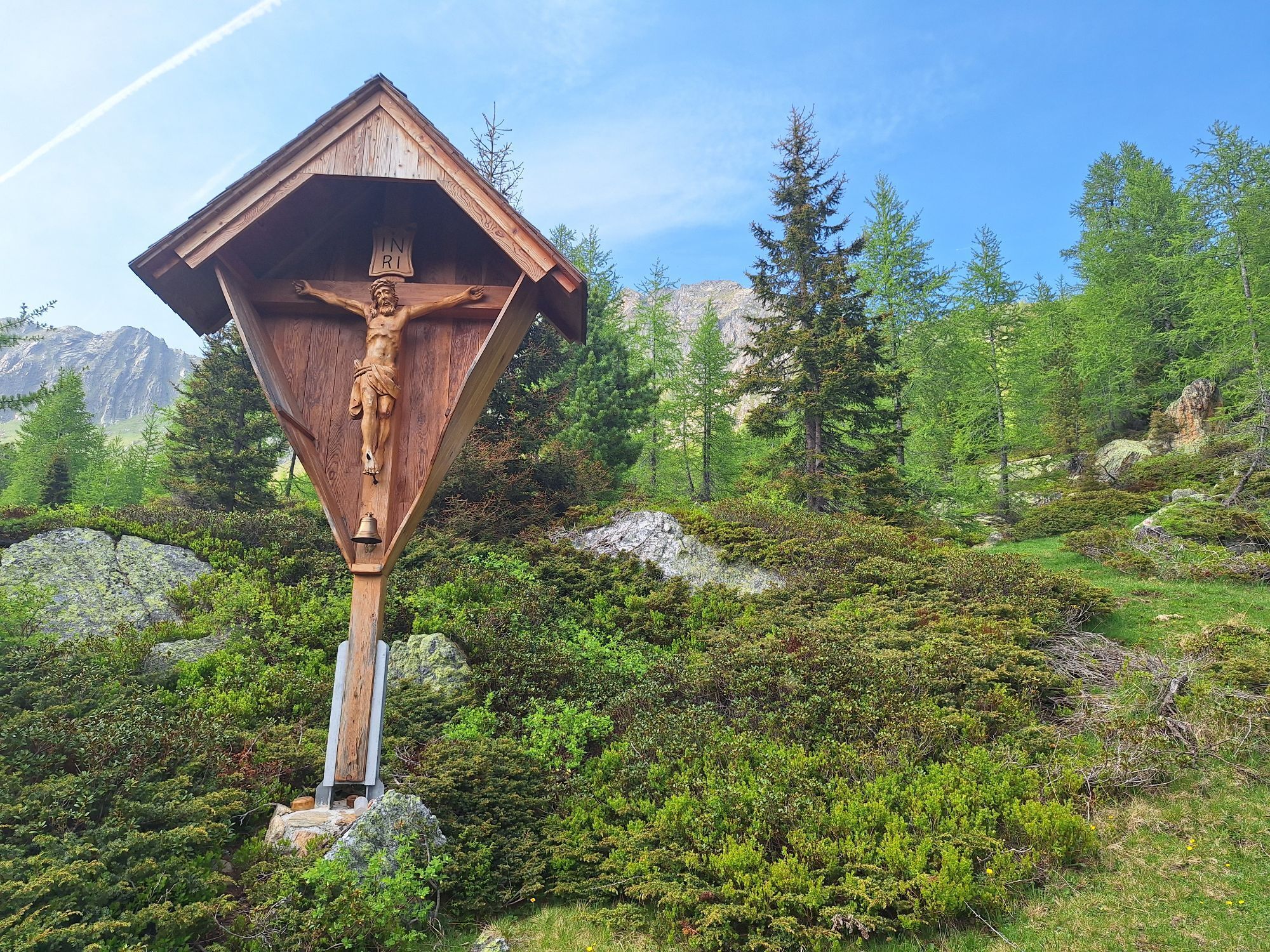
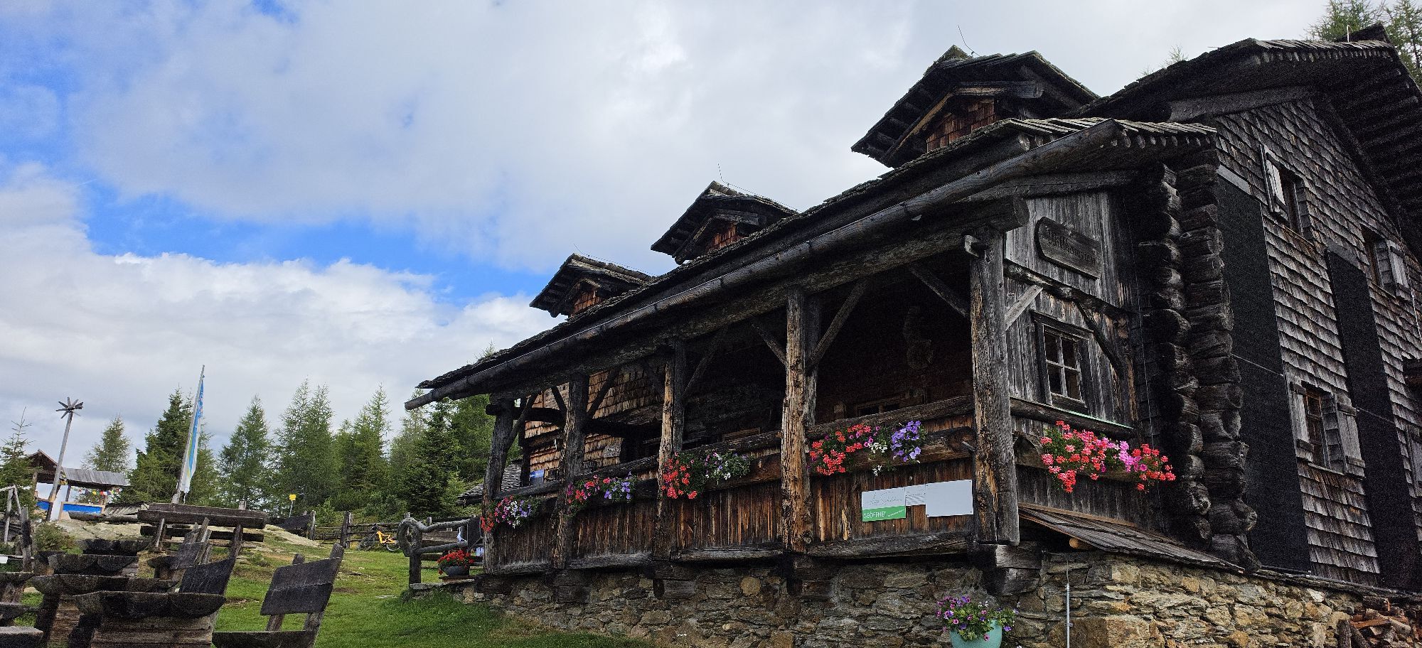
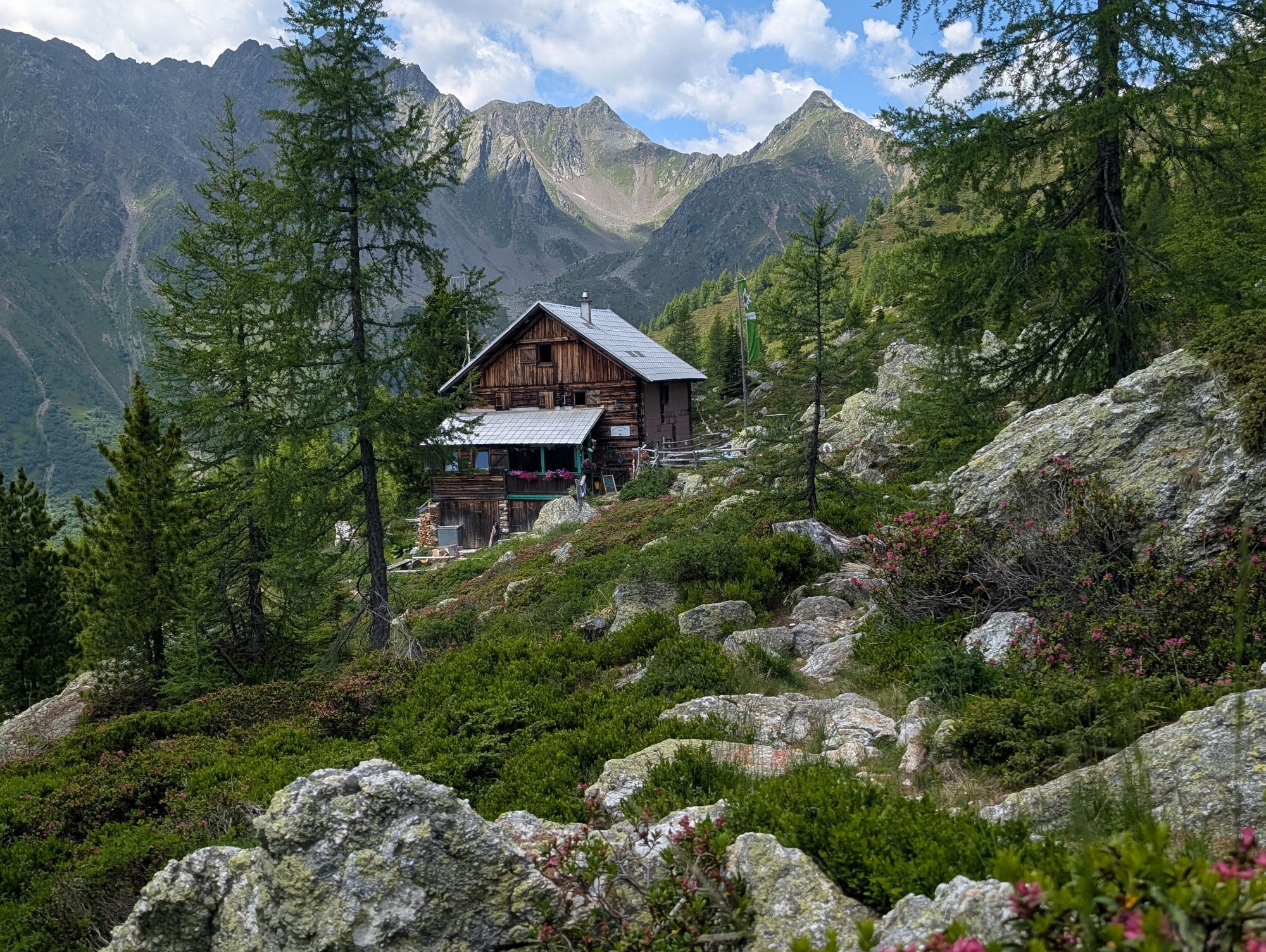
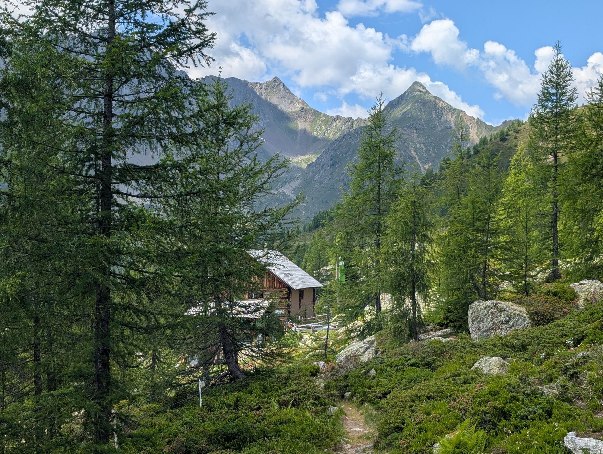
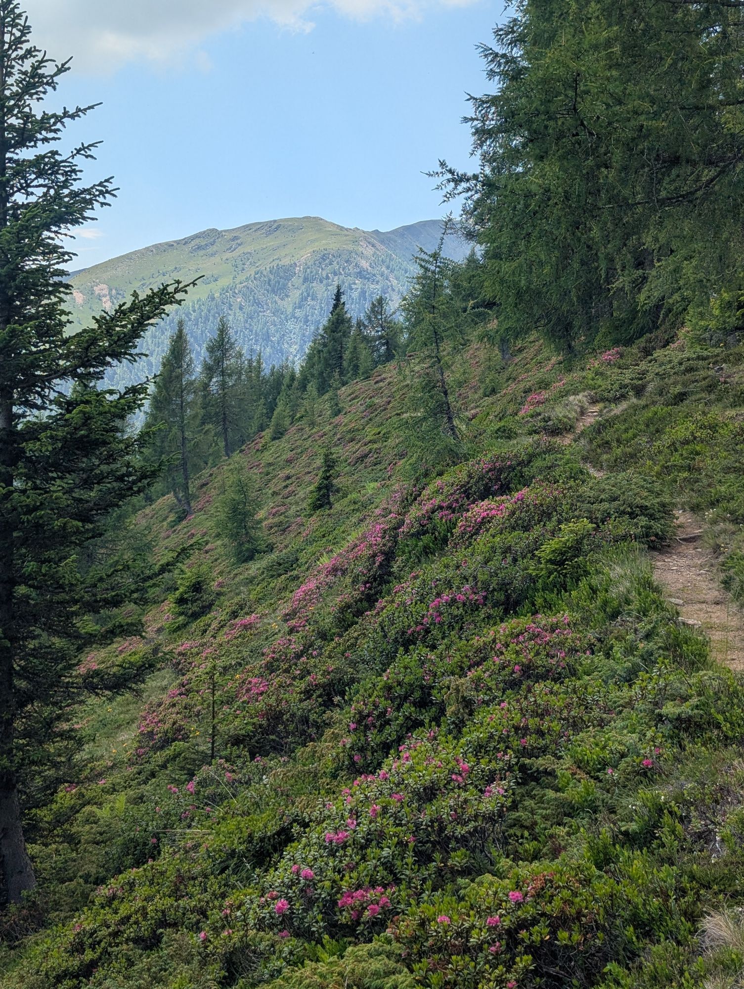
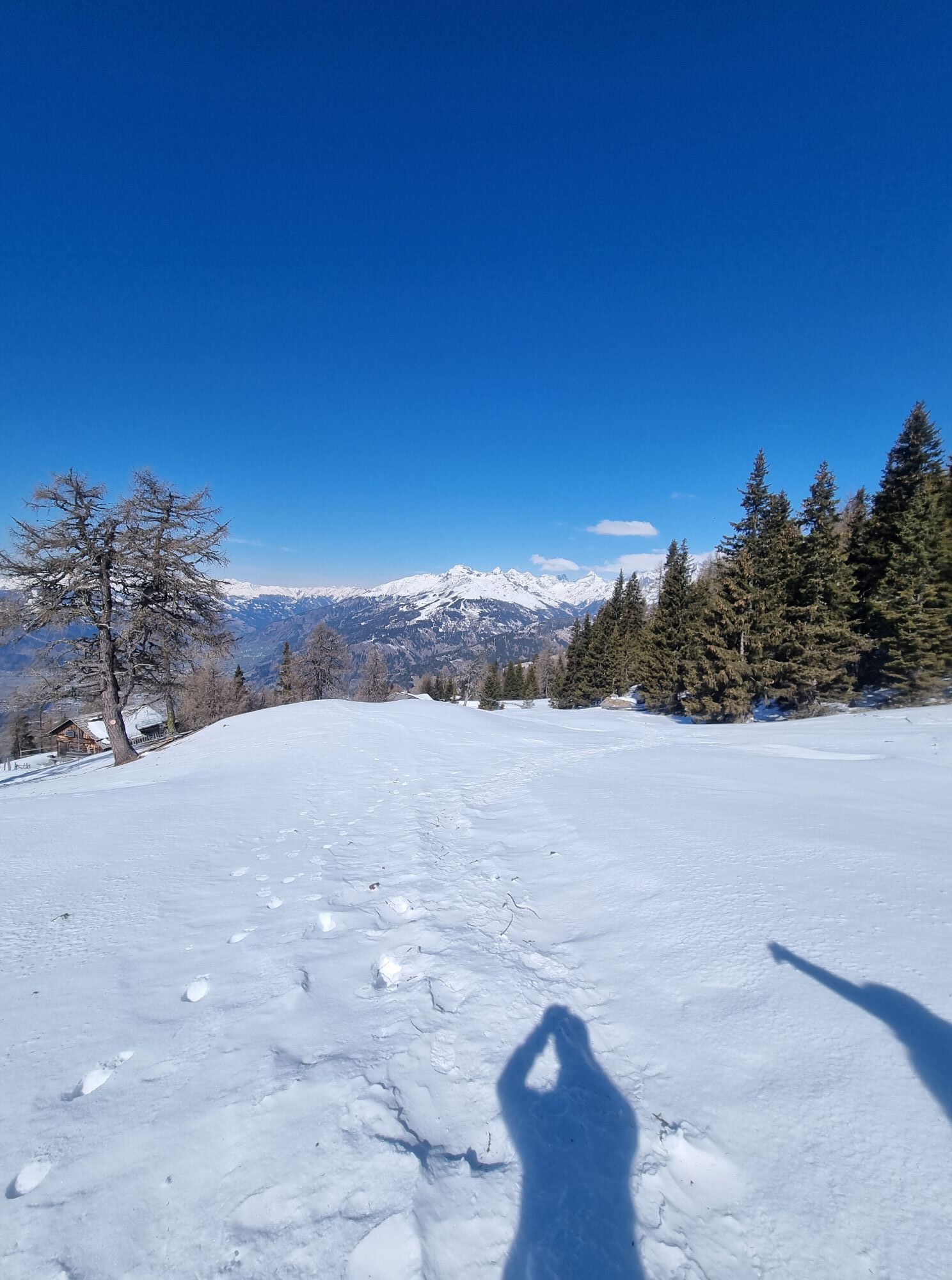
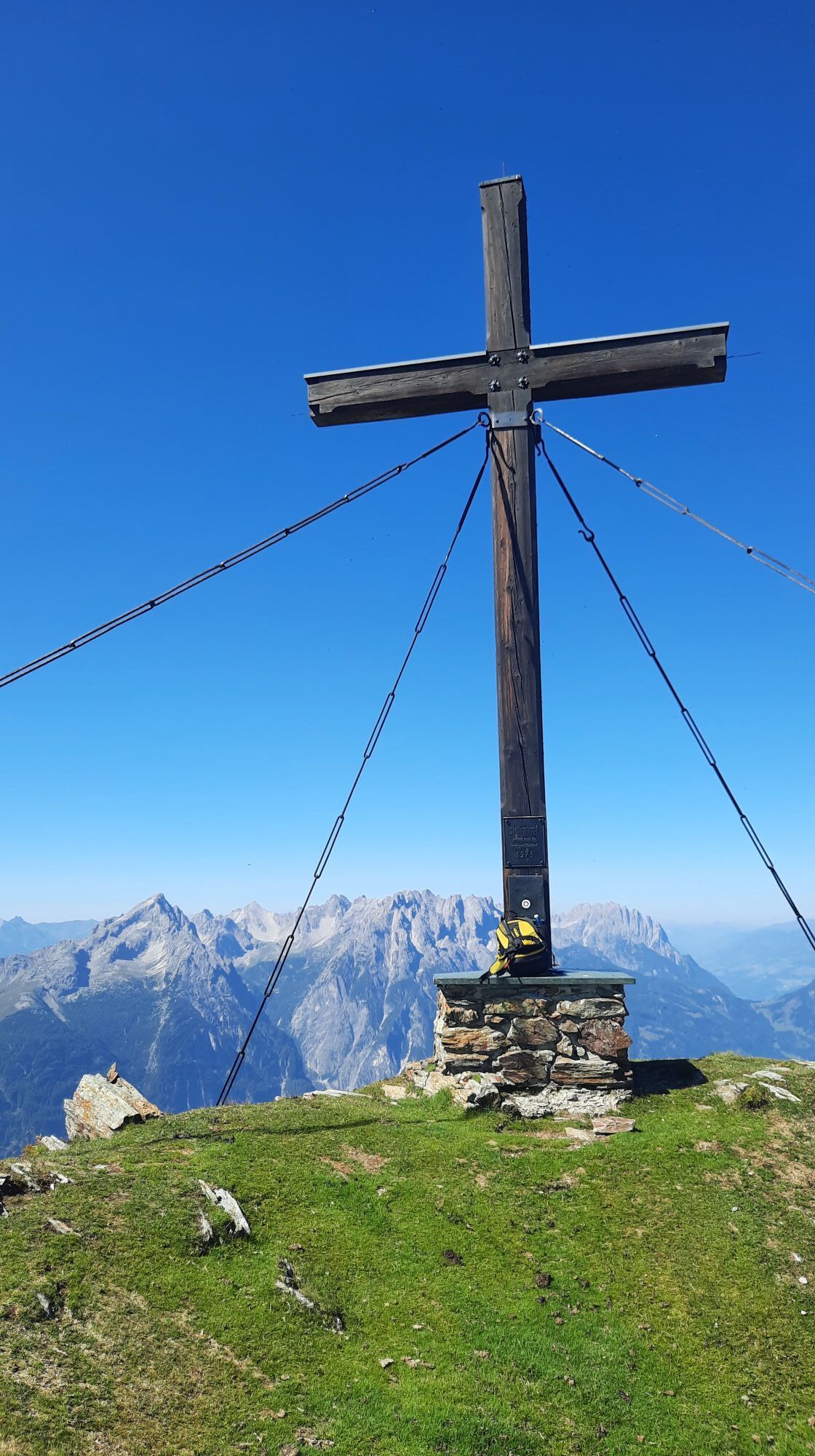
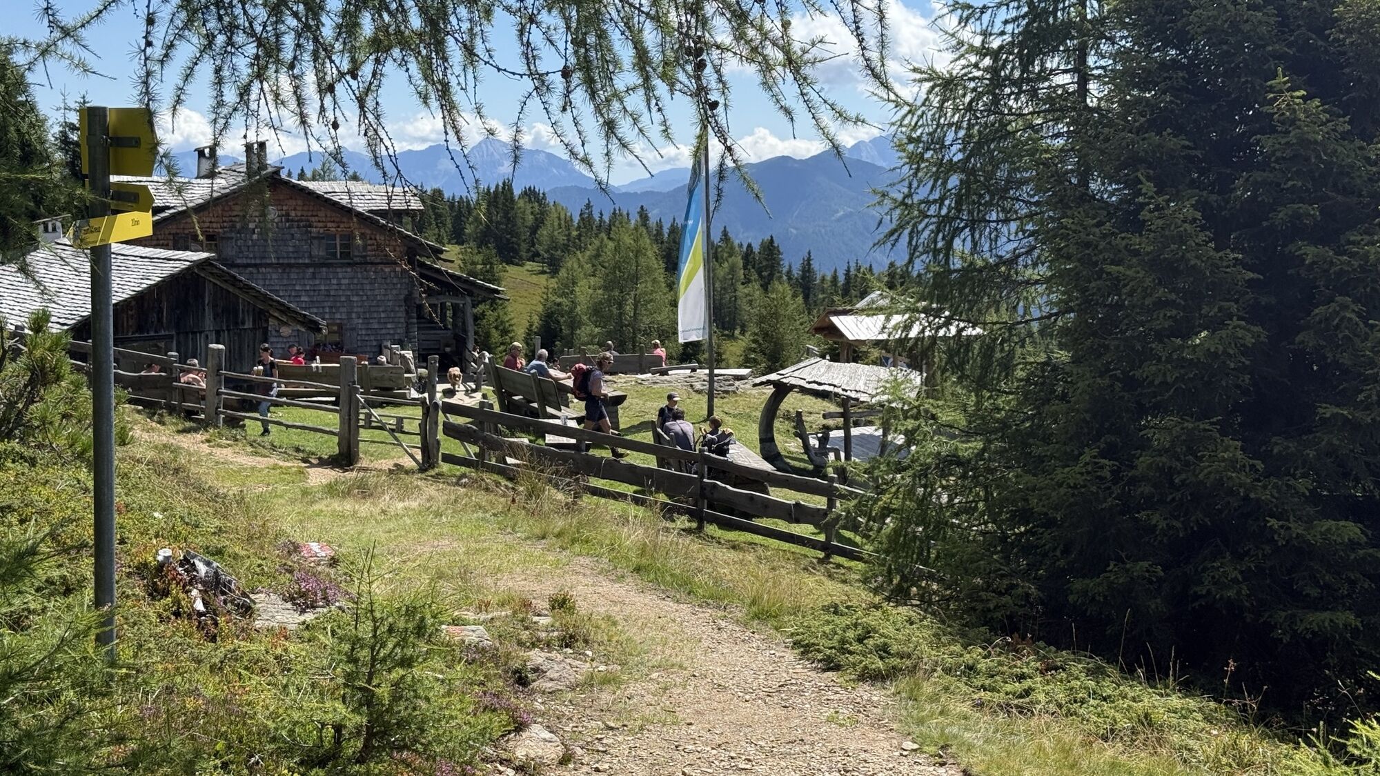
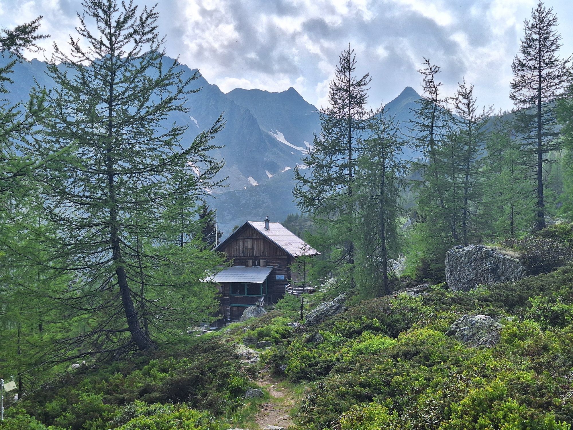
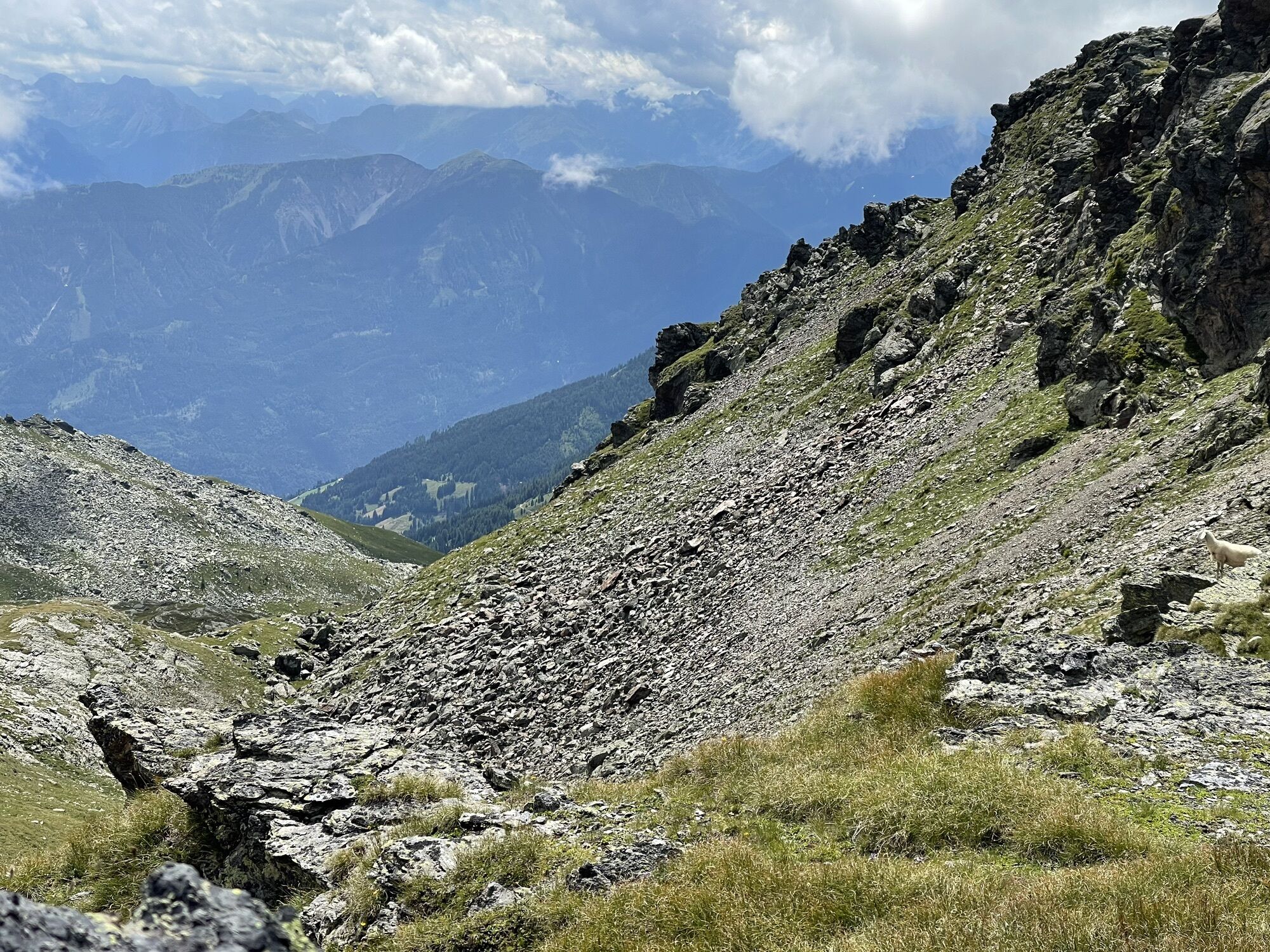
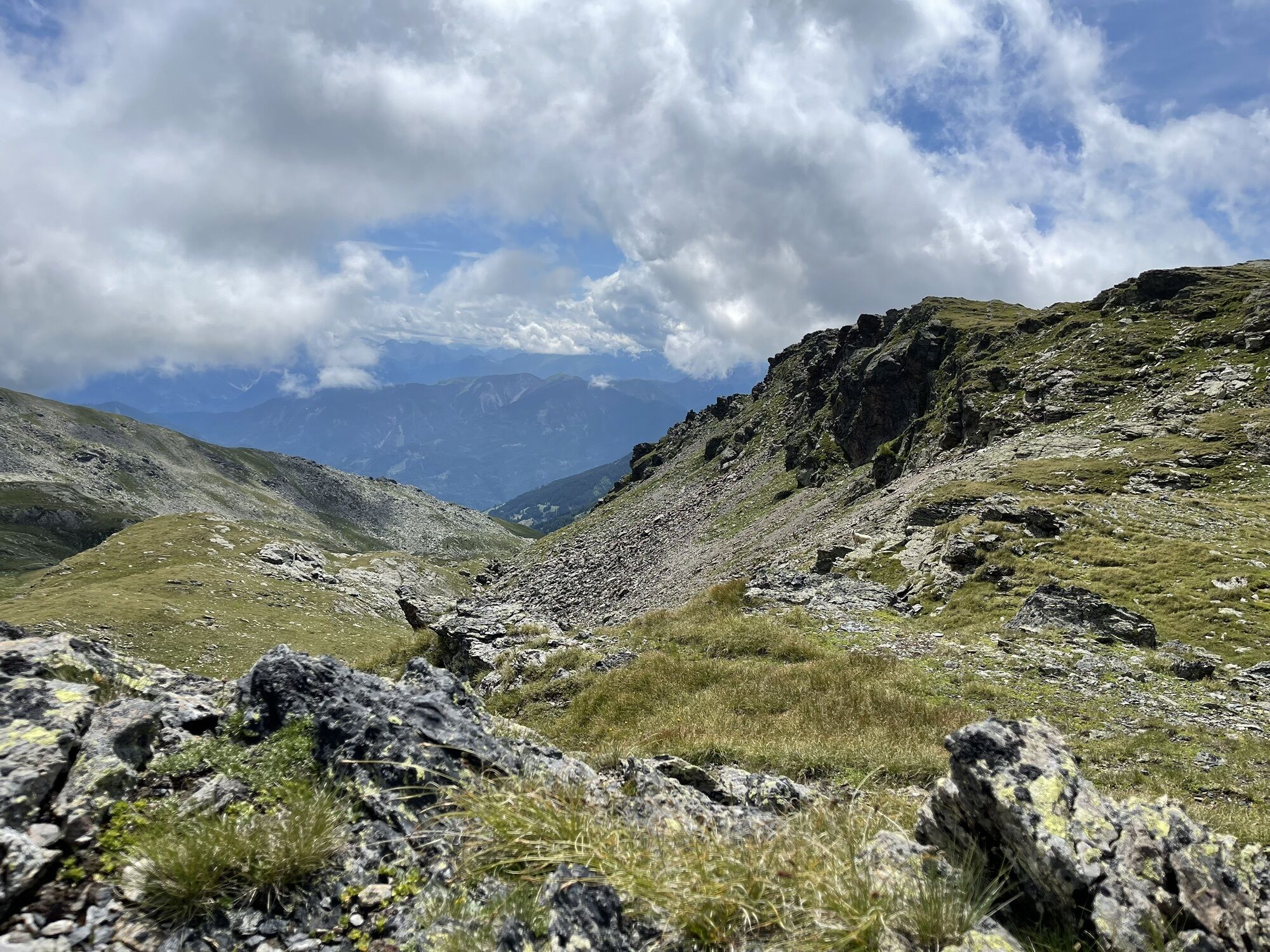
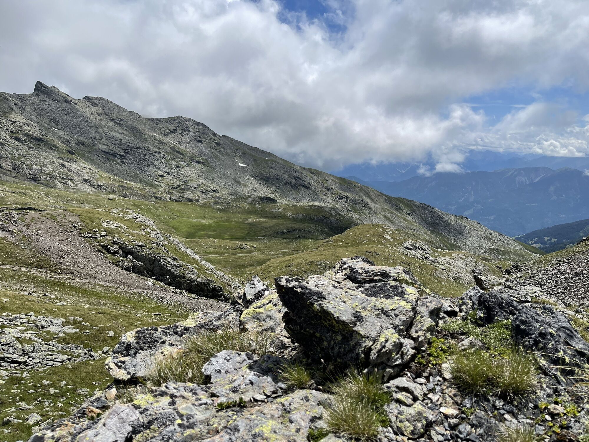
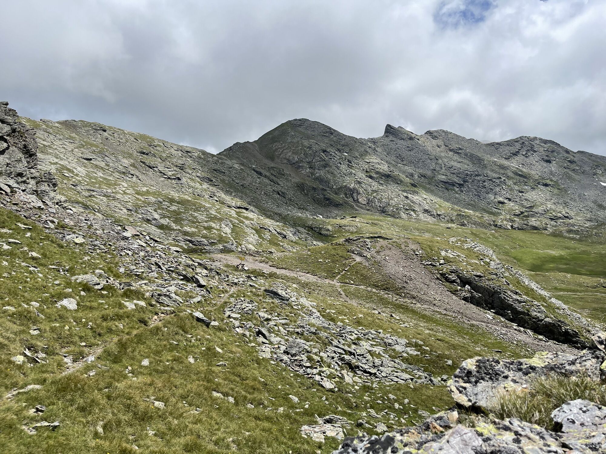
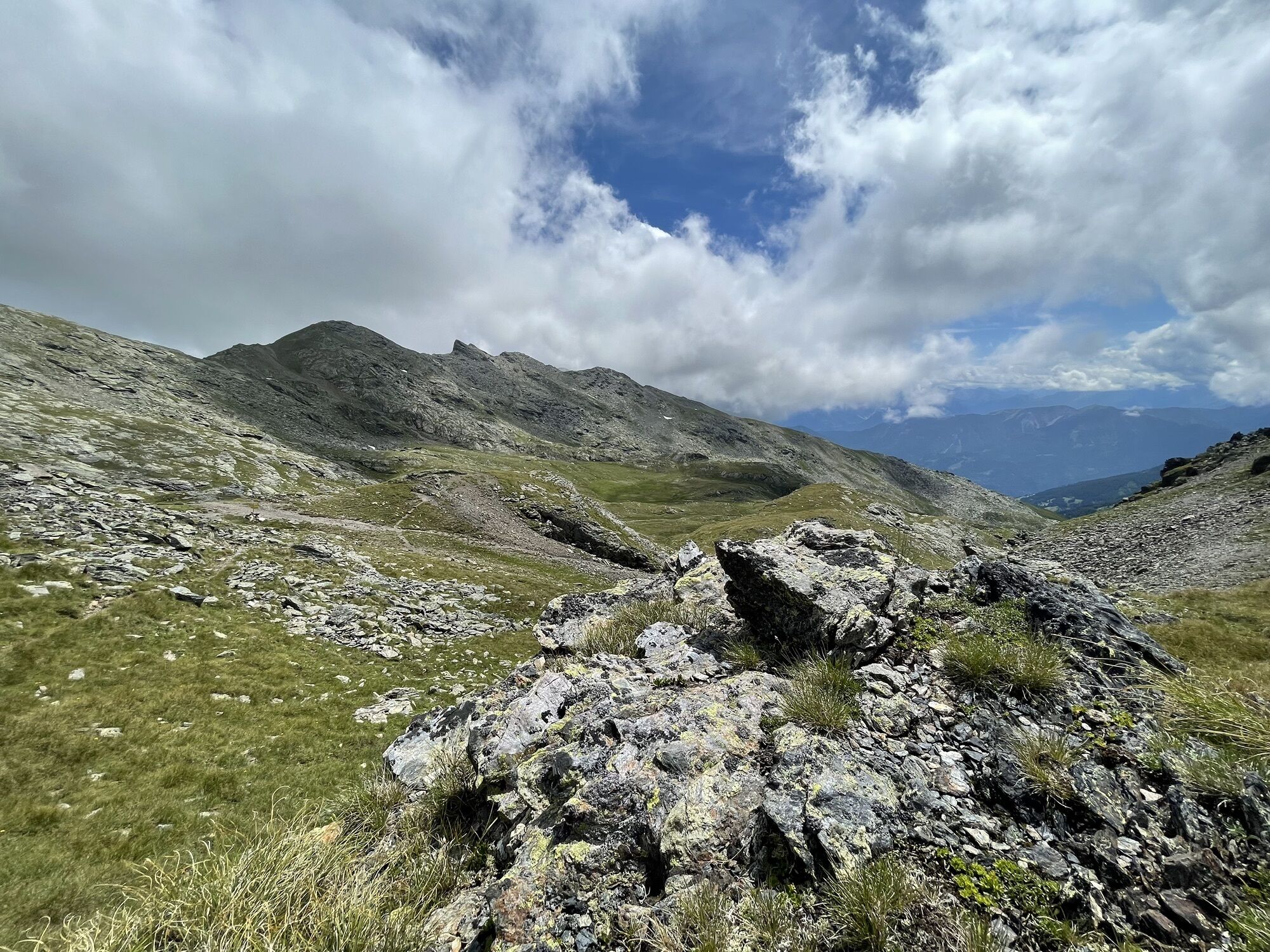
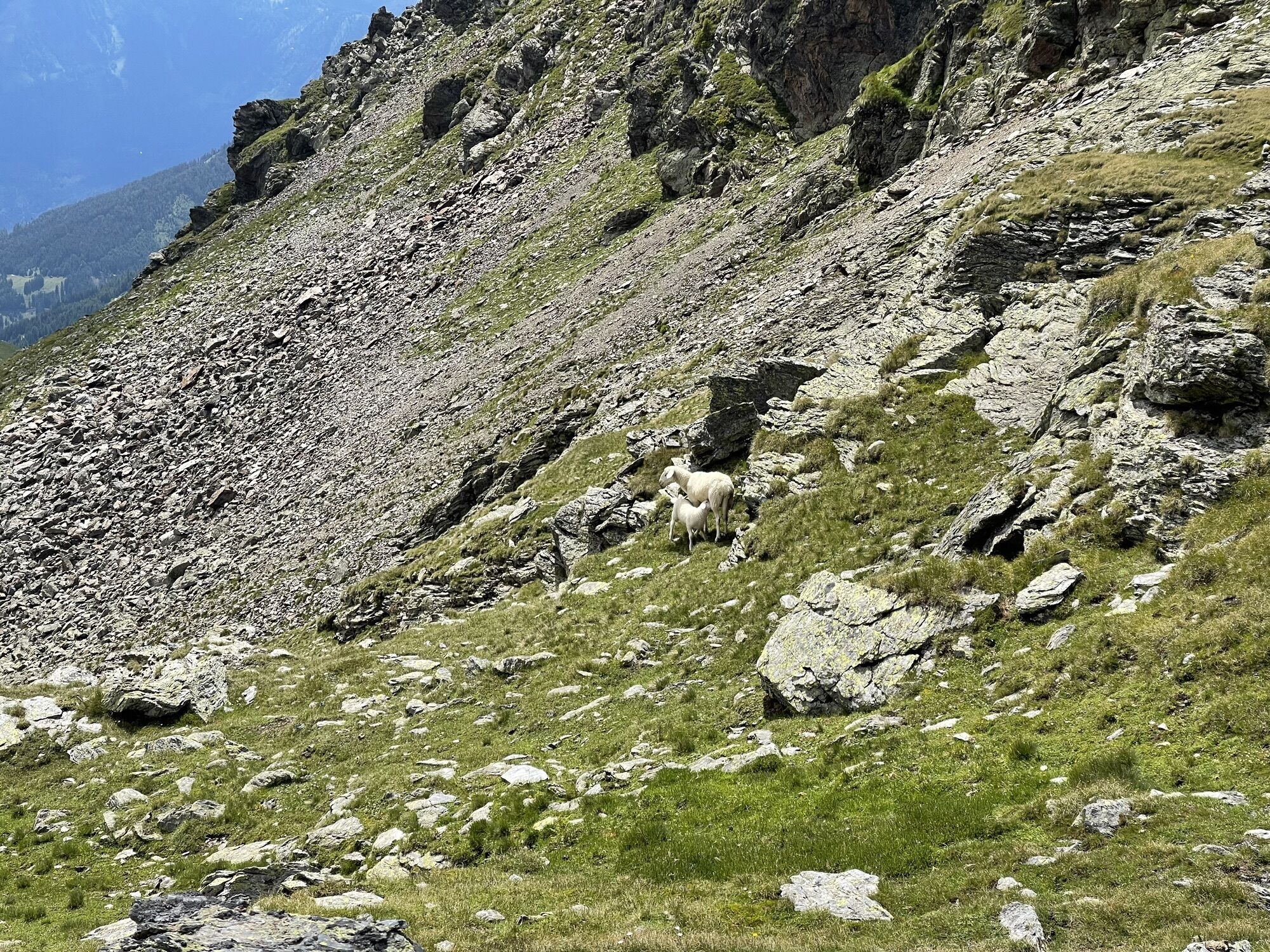
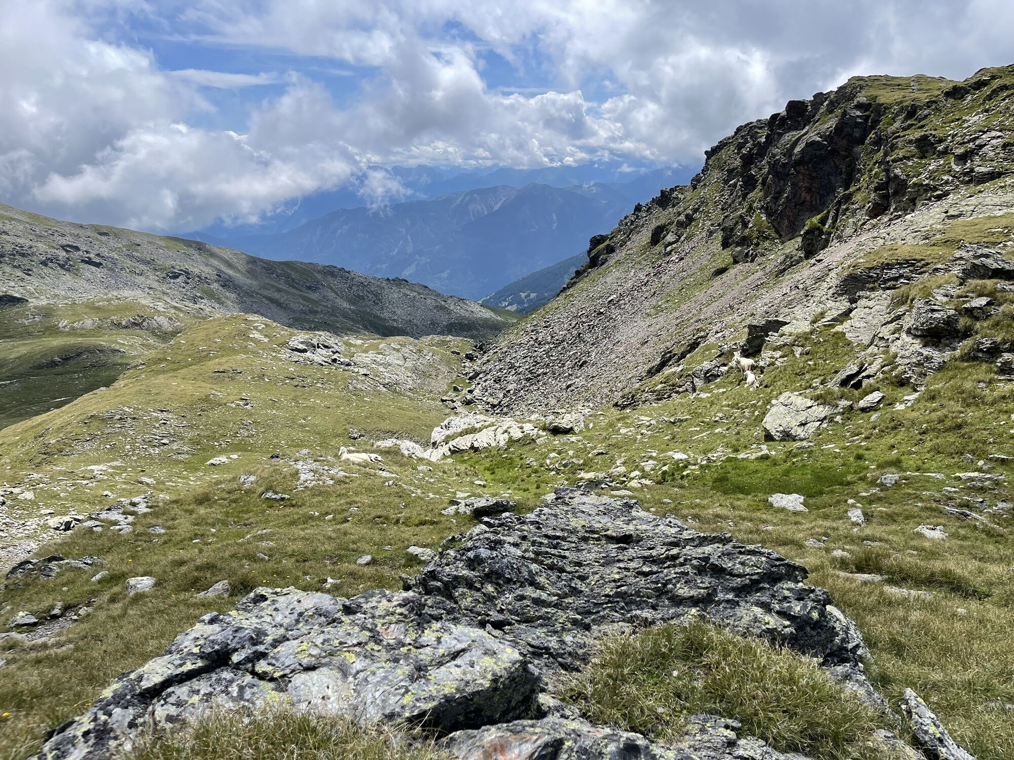
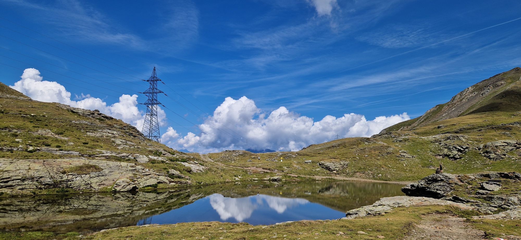
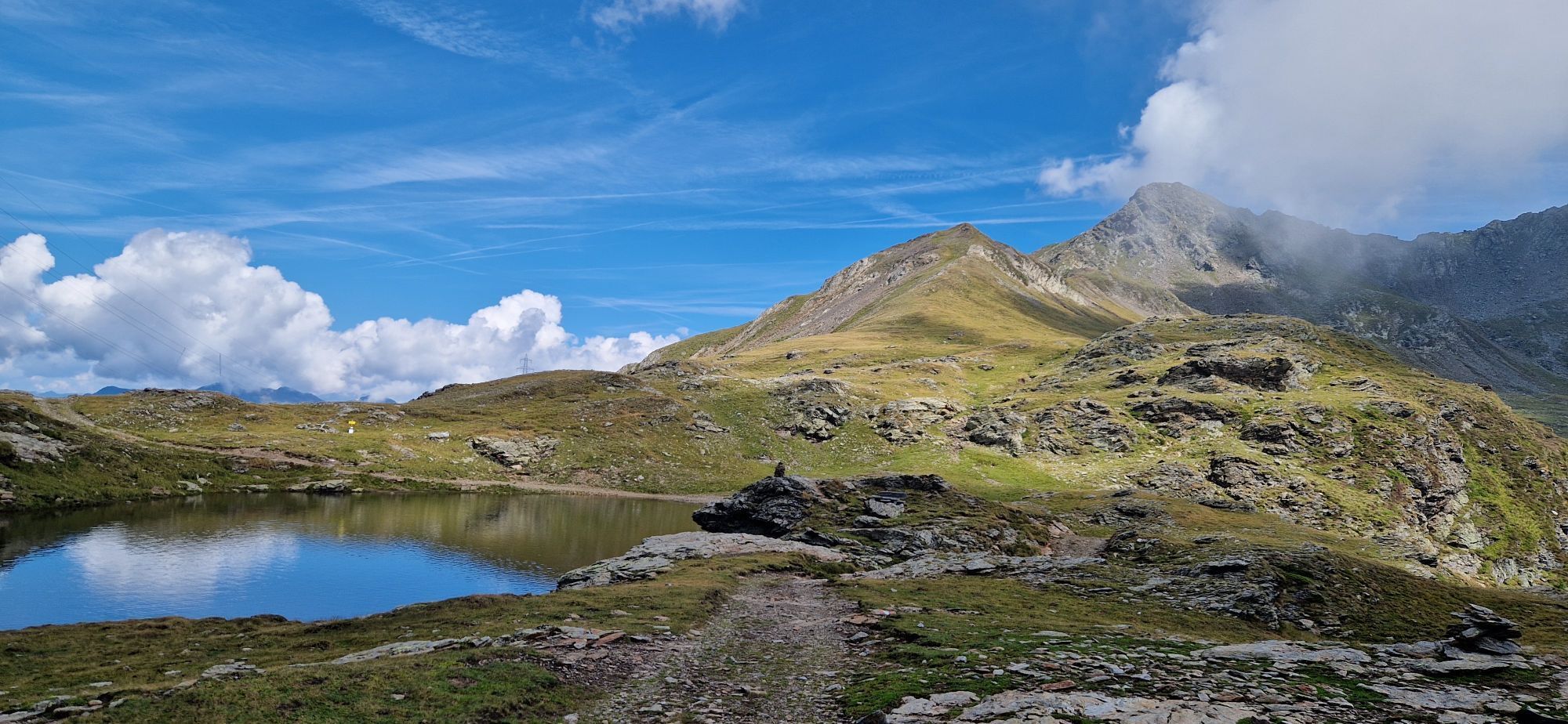
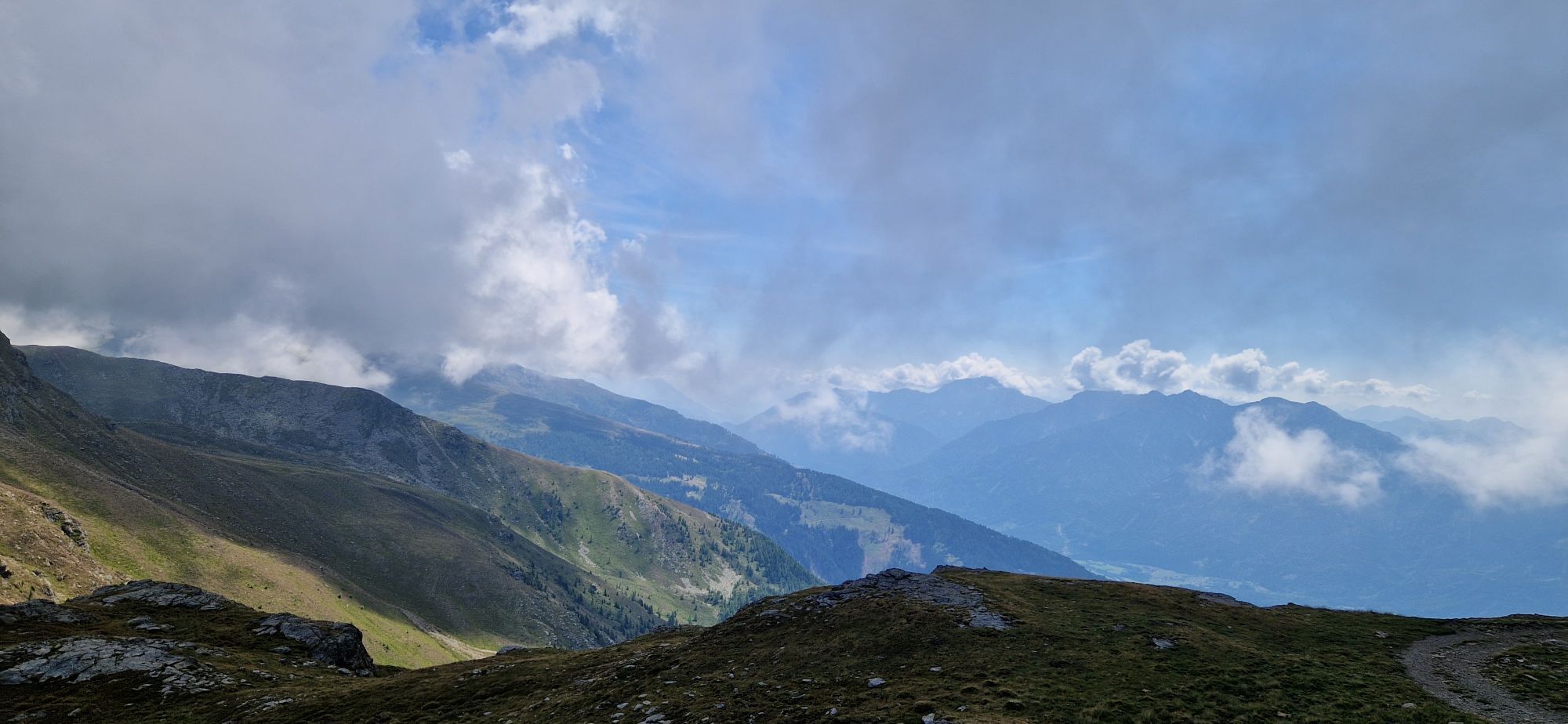
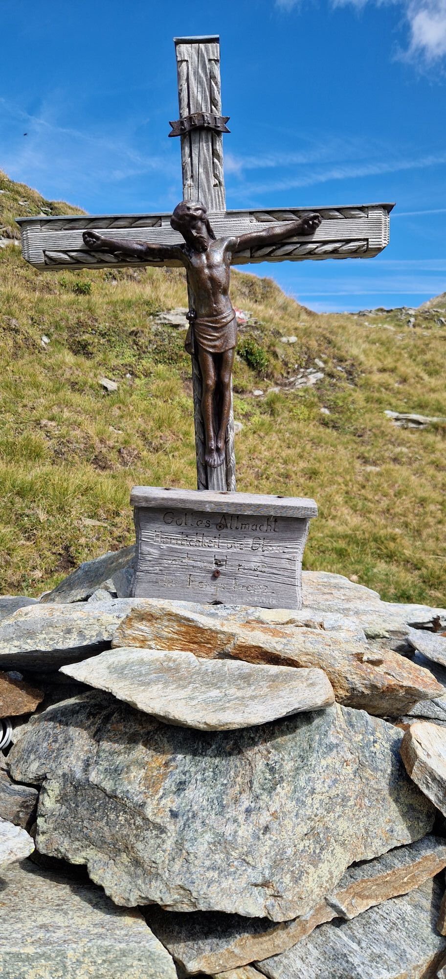
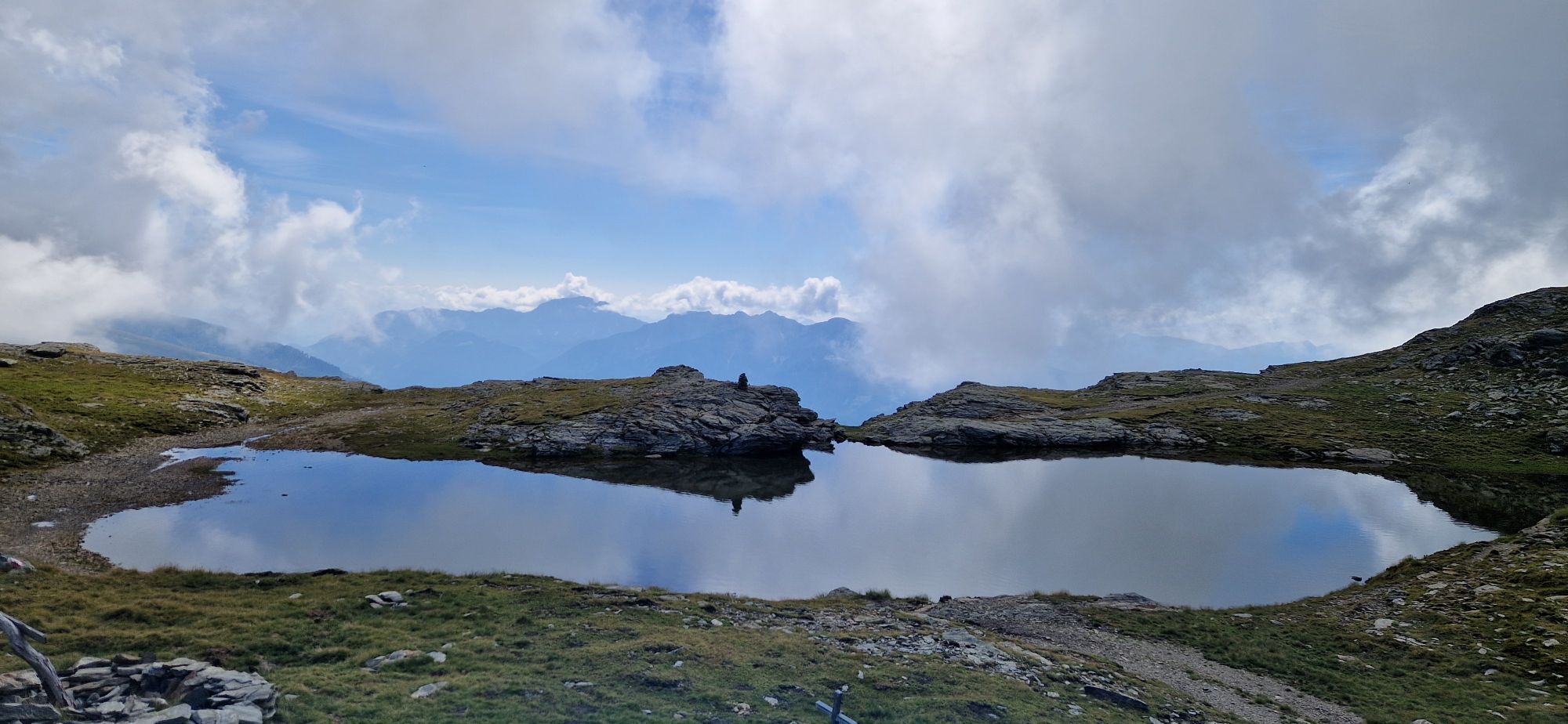
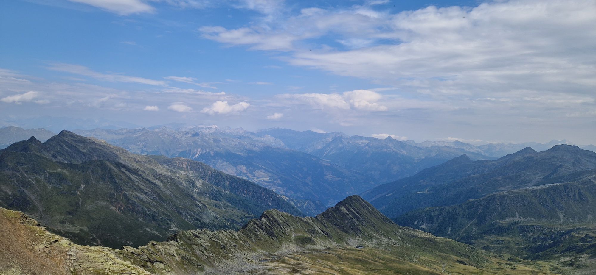
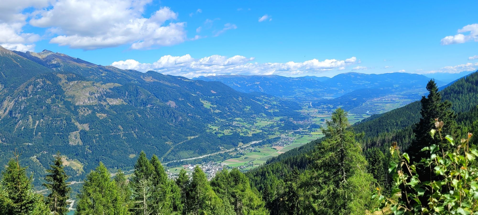
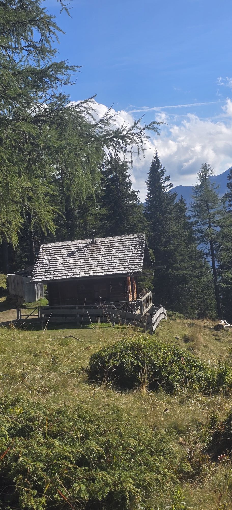
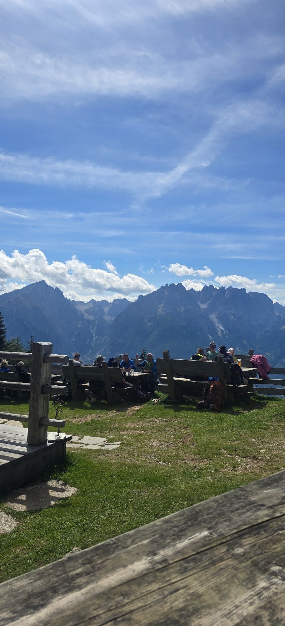
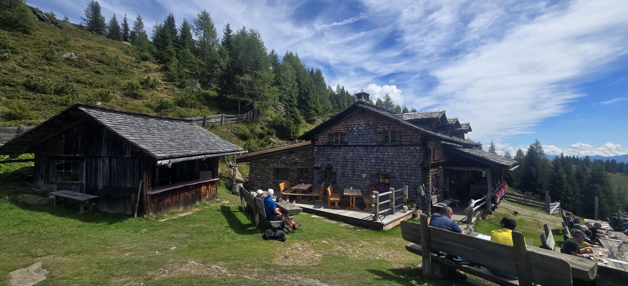
Although the Kreuzeck High Trail neither leads into glacier terrain nor has true climbing sections, it must not be underestimated under any circumstances! Absolute surefootedness, freedom from dizziness,...
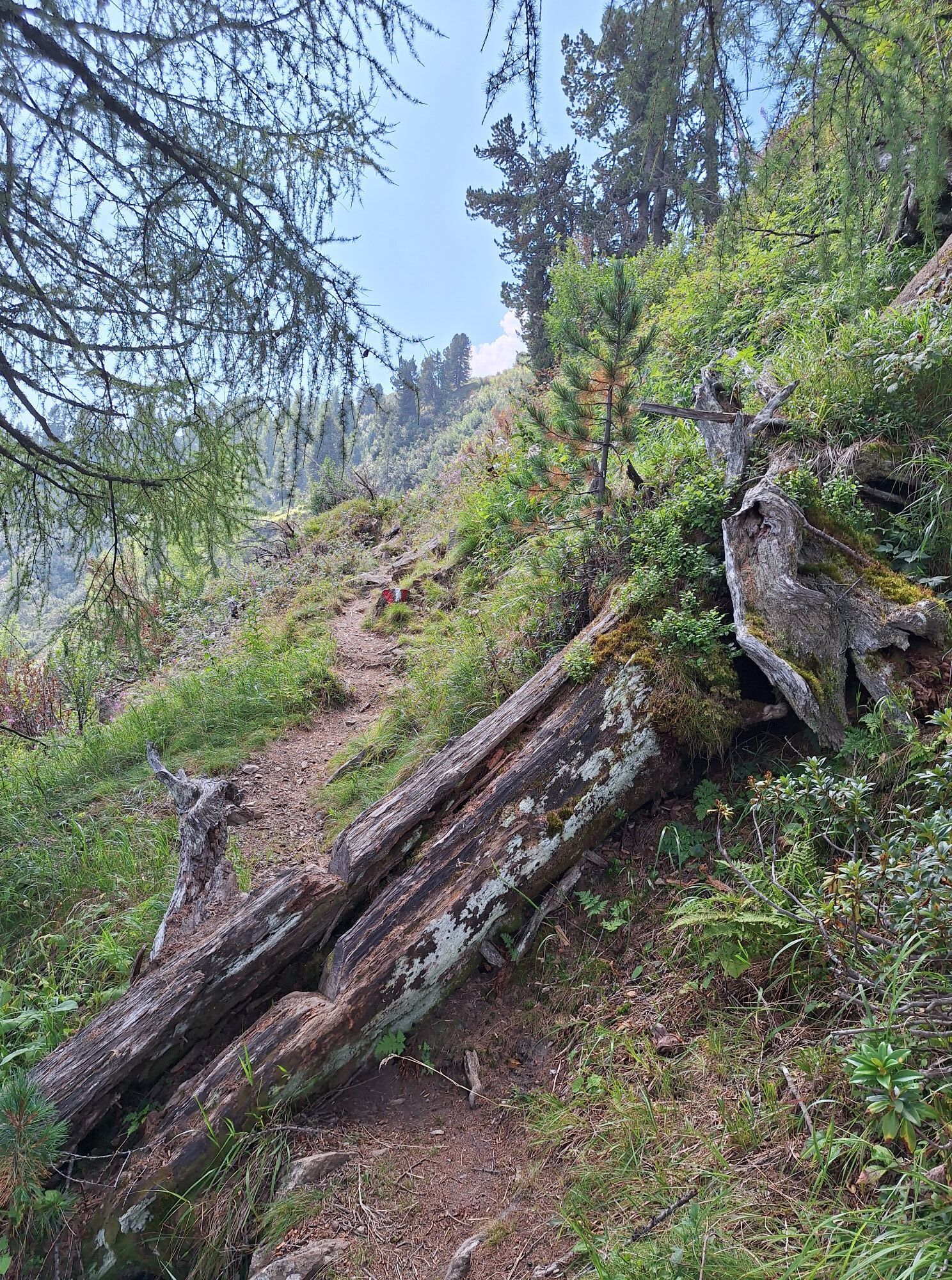
Although the Kreuzeck High Trail neither leads into glacier terrain nor has true climbing sections, it must not be underestimated under any circumstances! Absolute surefootedness, freedom from dizziness, and – despite markings – a bit of orientation skills are required – and especially good fitness! Particularly the 3rd and 4th stages are very long and require not only endurance but also a very early start at the respective huts!
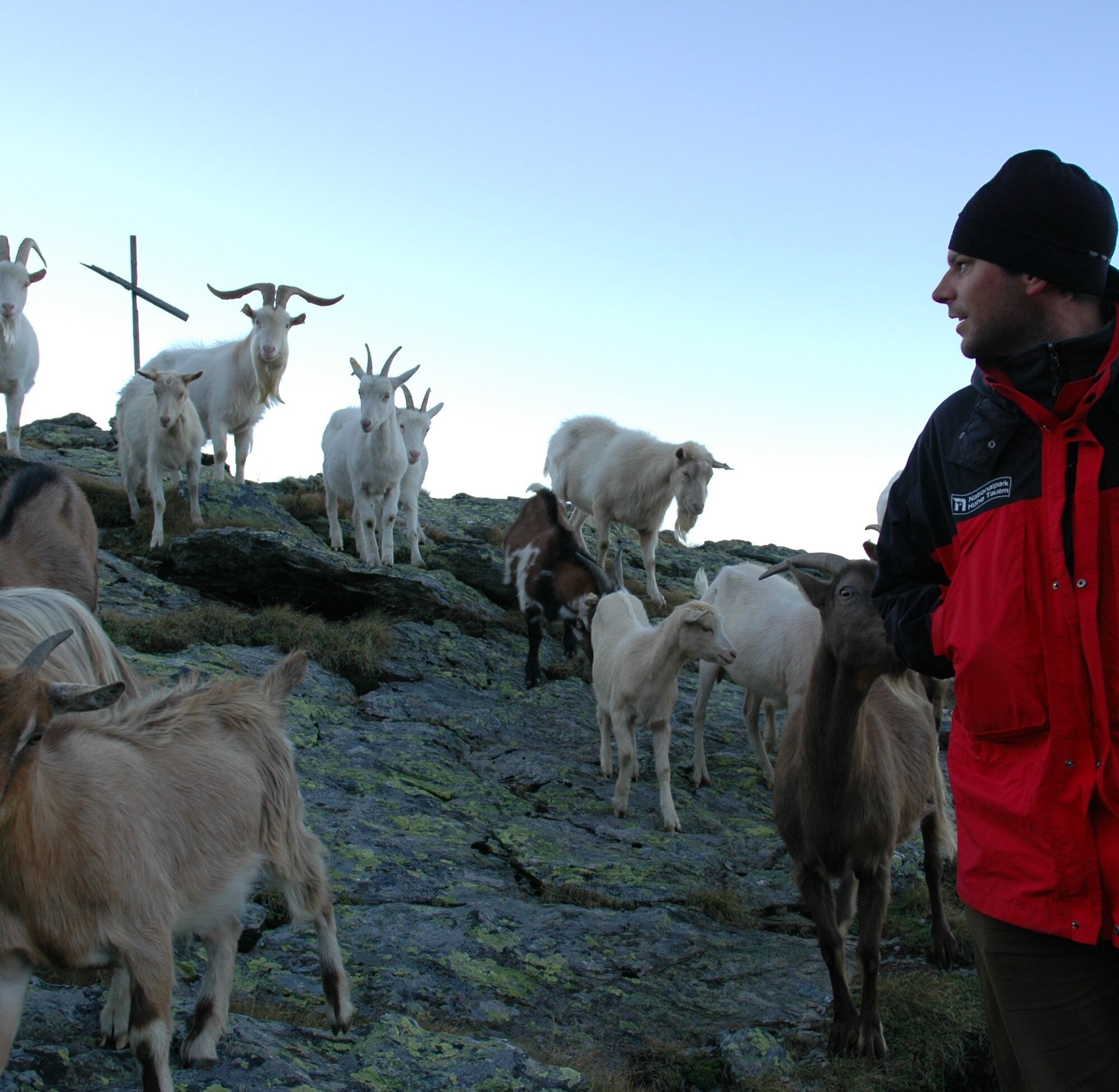

Stage 1:
Ascent with the Kreuzeckbahn to the Rosswiese reservoir (1196m).
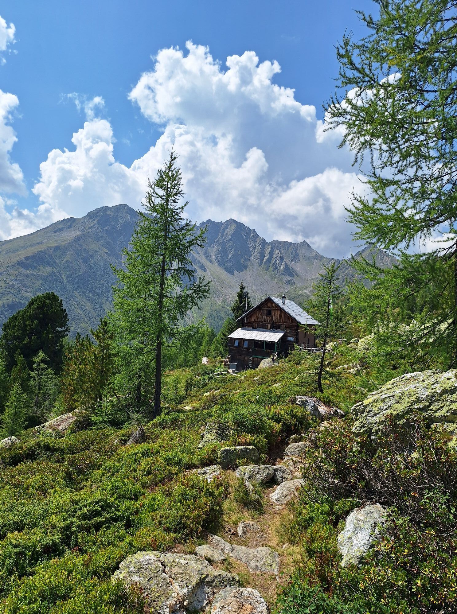
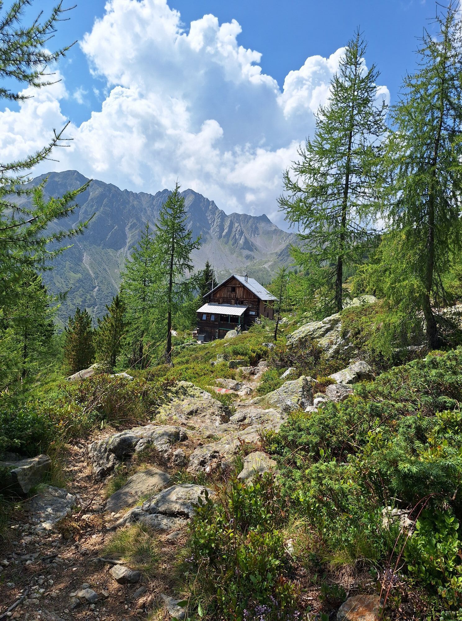
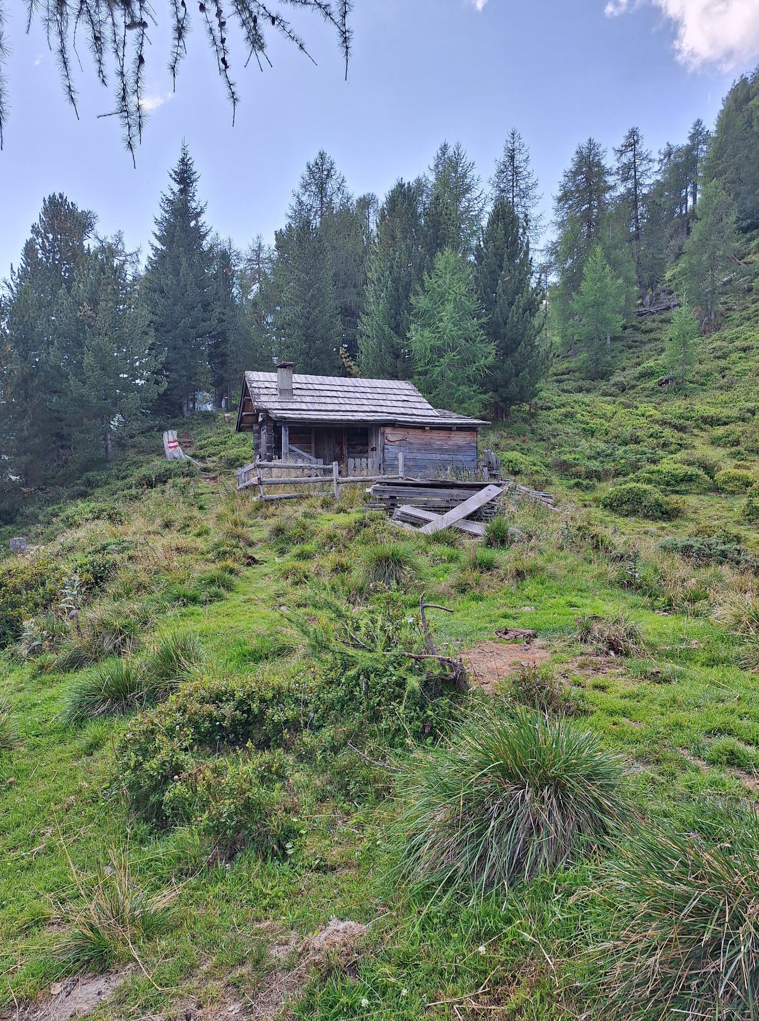
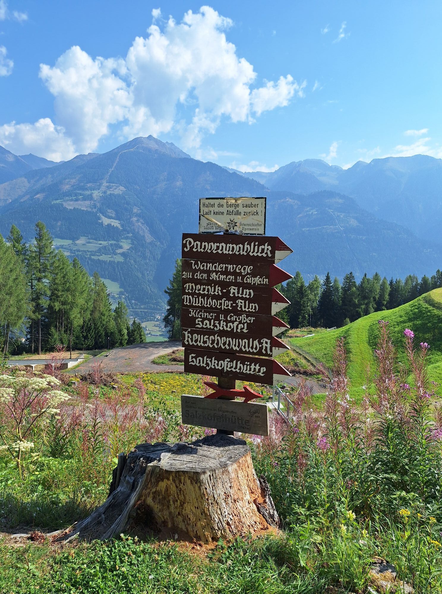
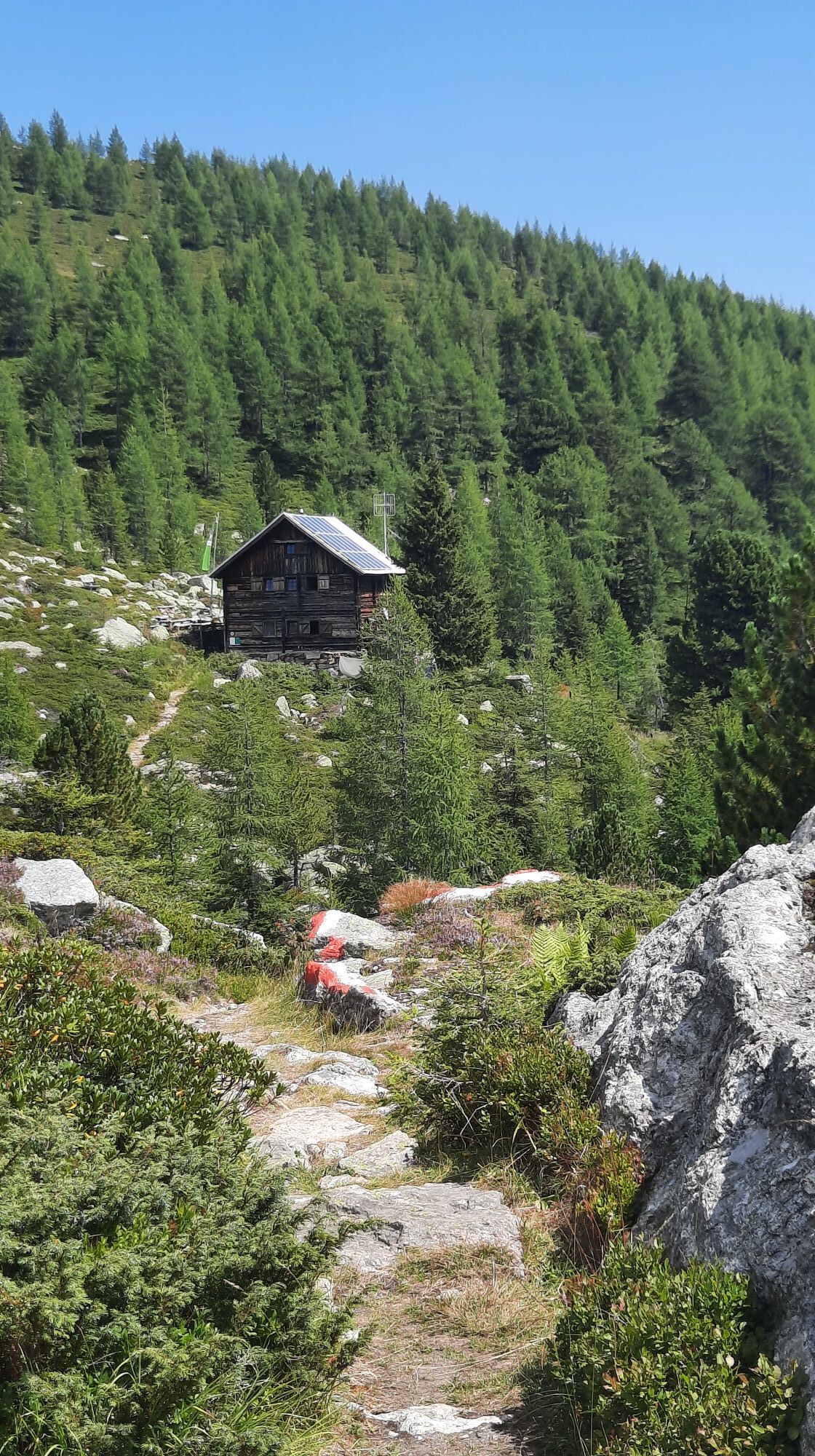
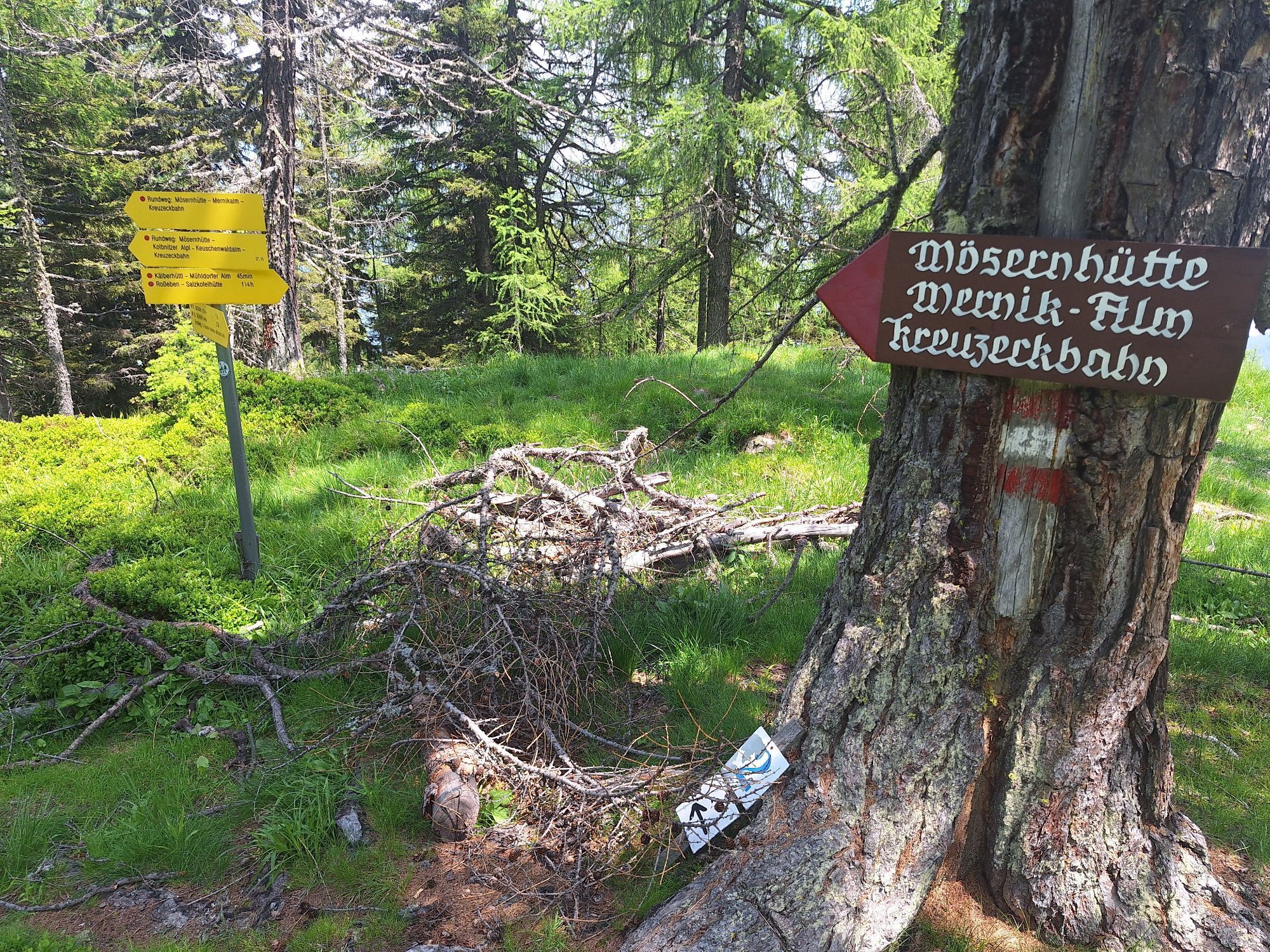
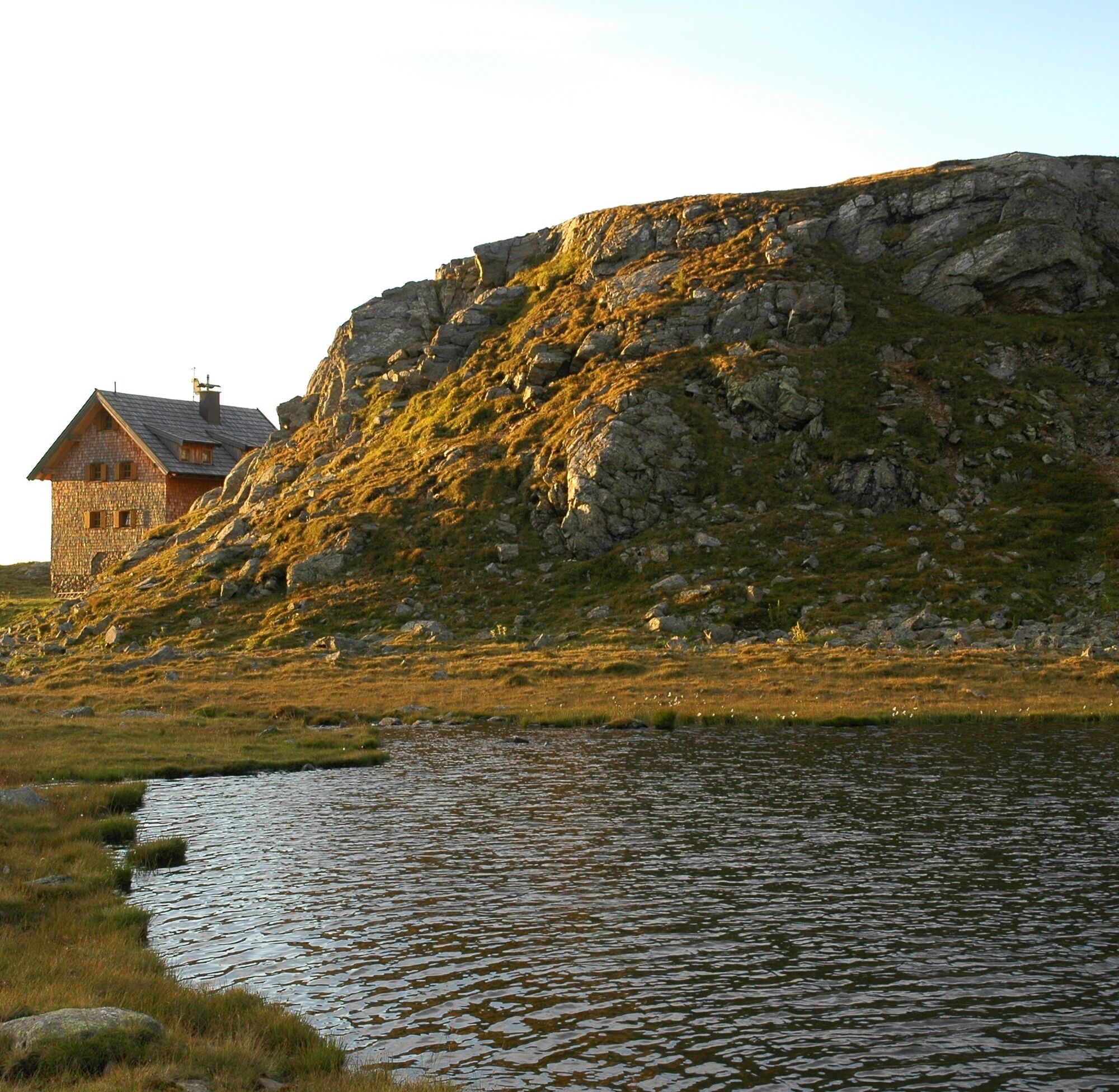
Route: Via Mernikalm (snack station; 1474m) – Rosseben saddle (1,977m) to the Salzkofel hut (1,987m).
Character: ideal "warm-up stage" in beautiful alpine pasture landscape;
Easy; 4 hours
Alternative: To the hamlet Sachsenweg (856m) and from there start the route; longer but very beautiful variant; hike over the scenic ridge of the Knoten (1,964m) to the Salzkofel hut.
Easy; 5 hours
Recommendation: Ascent of Salzkofel (2,498m) from Salzkofel hut; easy and rewarding; 500 m elevation gain, 1 ½ hours
Stage 2:
Route: From the Salzkofel hut via the Goldgruben notch (2,448m), Annaruhe (2,508m), and the Nassfeld gate (2,332m) to the Feldner hut (2,182m)
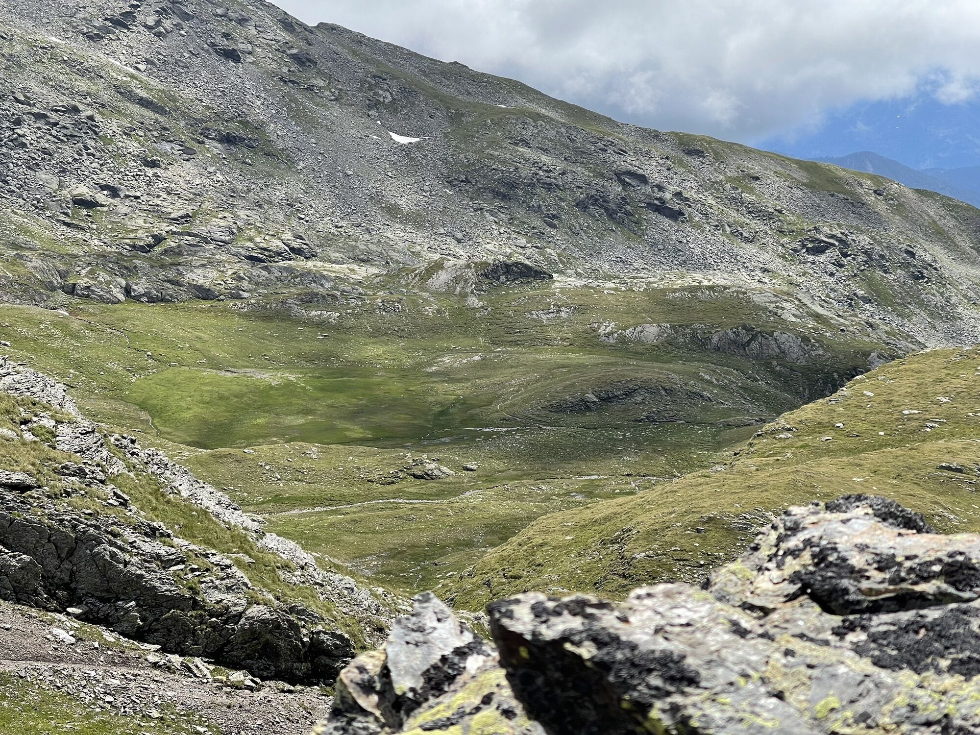
Character: beautiful, scenic but rather long stage in lonely high mountain landscape and on historic ground, as gold was mined here in the Middle Ages! Some surefootedness required (area Löcherwände and Goldgrubenschartl); caution in early summer when crossing snowfields!
Moderately difficult; 7 hours
Stage 3:
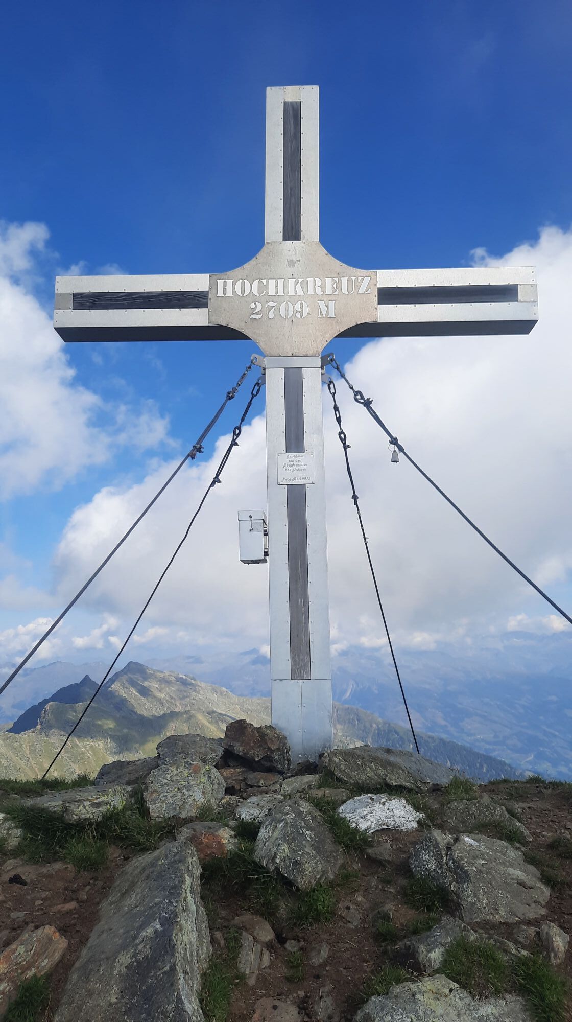
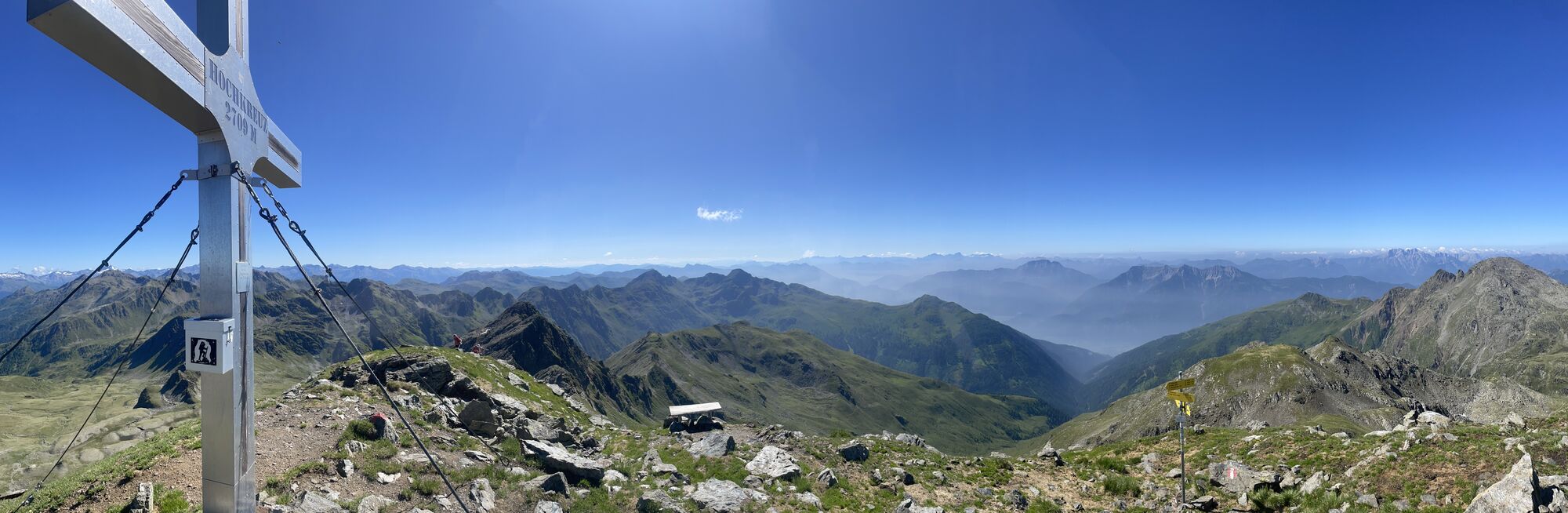
Route: From the Feldner hut over the Glenktörl (2,457m) and the Hochkreuz summit (2,709m) to the Hugo von Gerbers hut (2,347m)
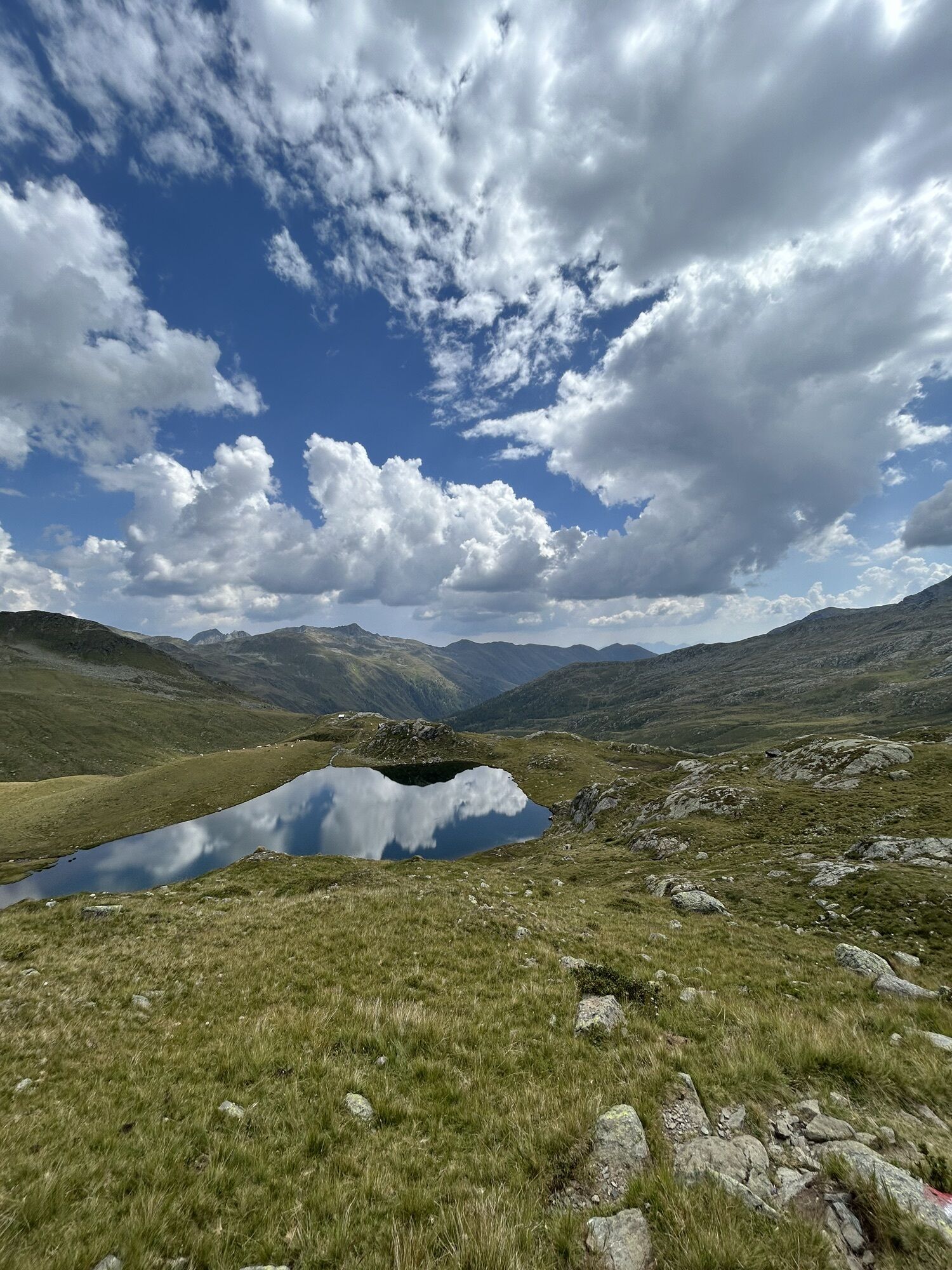
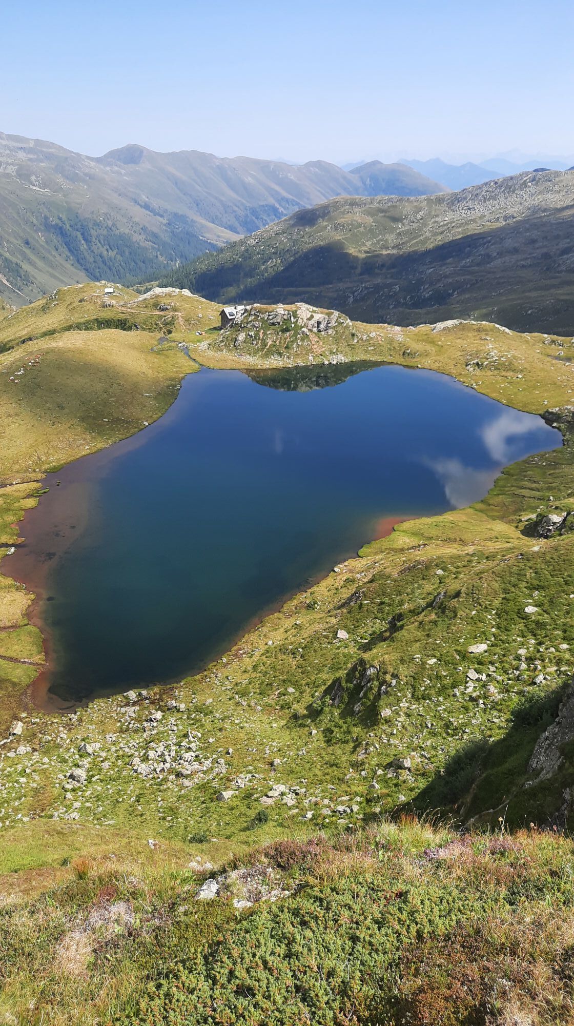
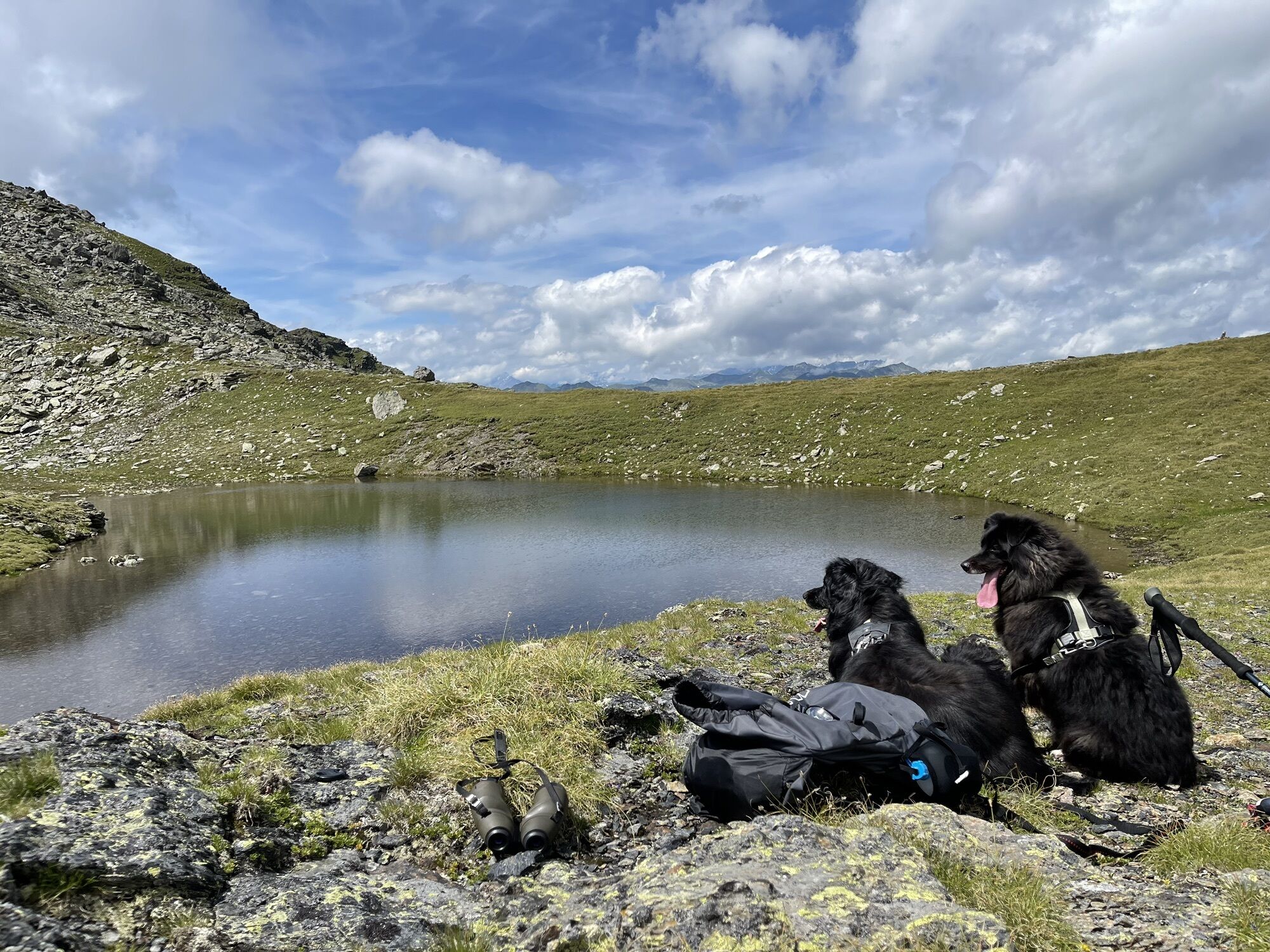
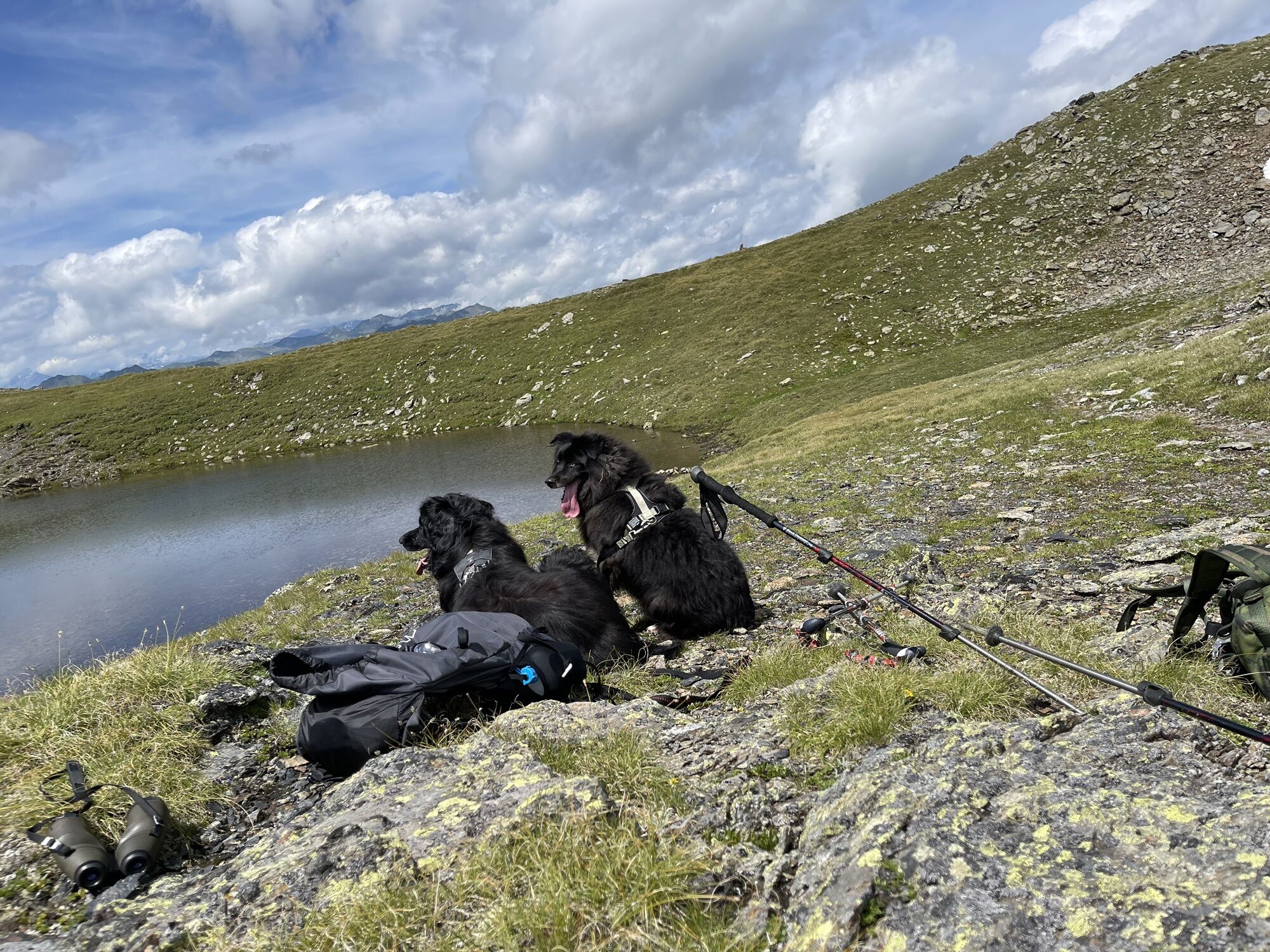
Character: fantastic stage, certainly the highlight of an already superb trekking route; including beautiful mountain lakes, breathtaking panoramas, and the ascent of one of the main peaks of the entire mountain group.
The stage is also the alpine highlight, where surefootedness and in some places freedom from dizziness are required. Climbing is not necessary anywhere; short more difficult sections are secured with fixed ropes; caution when wet or before steeper snowfields in early summer.
Moderately difficult; 8 hours
Stage 4:
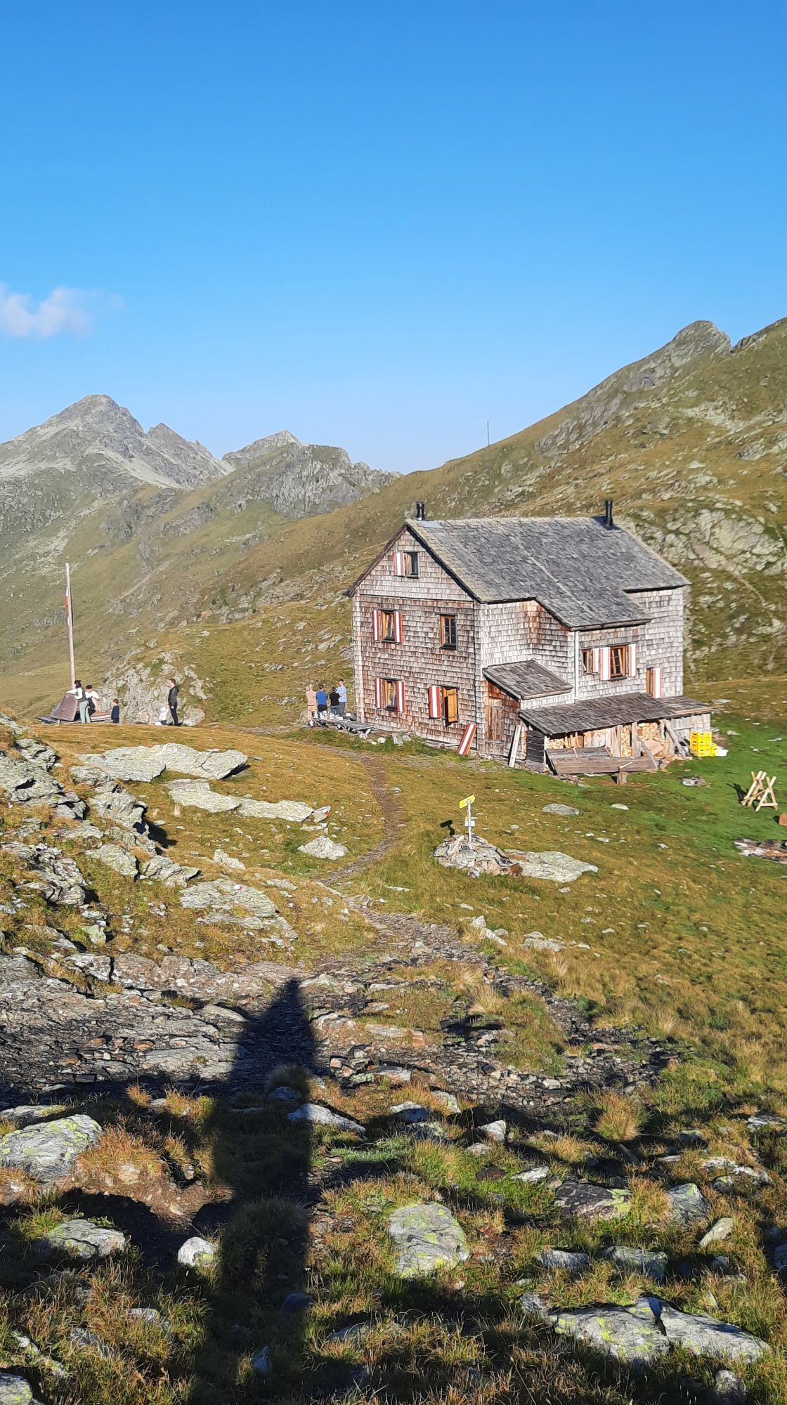
Route: From the Hugo von Gerbers hut over the main ridge of the Kreuzeck and the Ziethenkopf (2,484m) to the Anna shelter (1,992m)
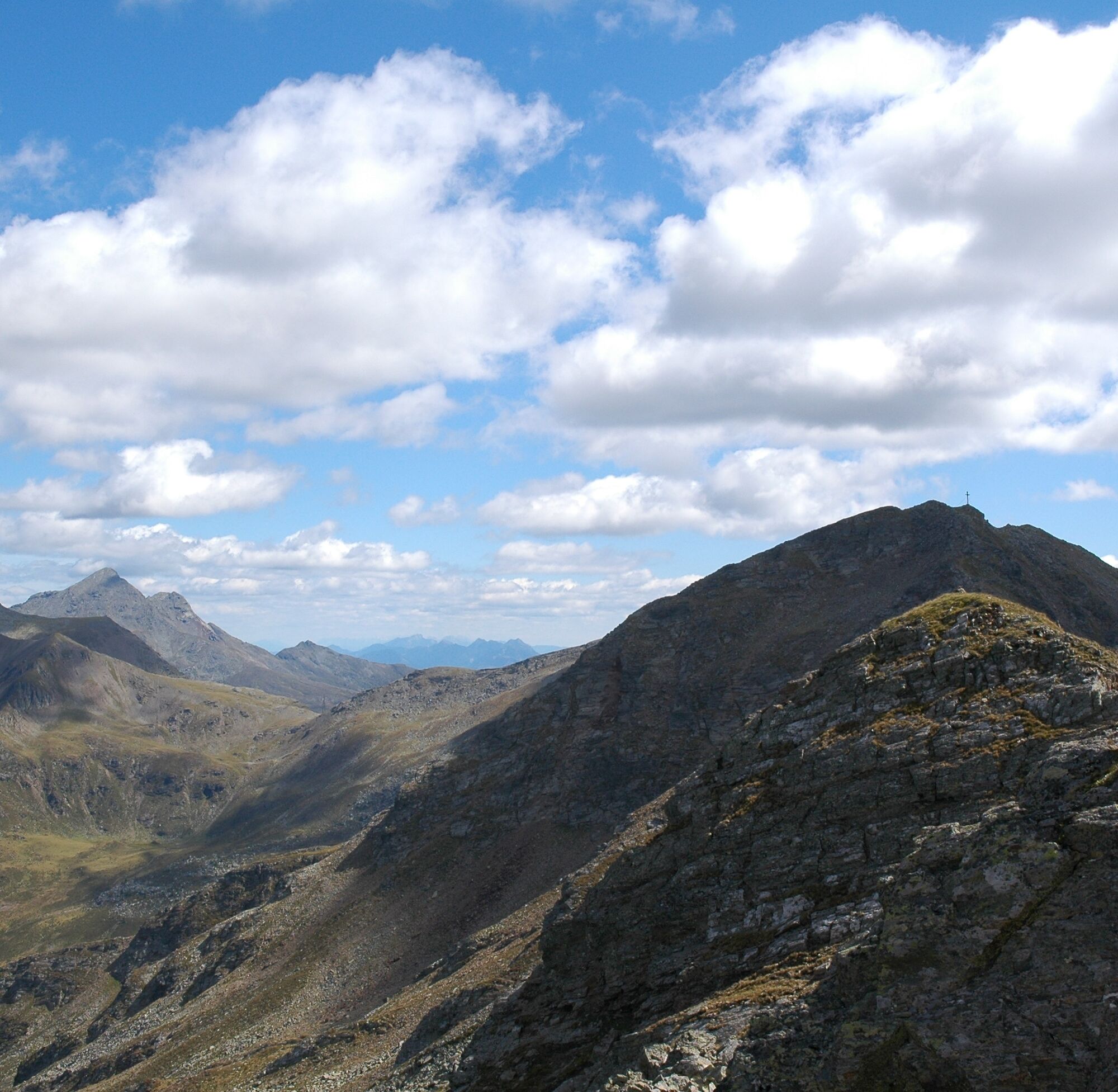
Character: another beautiful but long stage; it runs almost exclusively along the main ridge of the mountain group; according to the map, no fewer than 8 (!) peaks are crossed; certainly the most scenic stage; the alpine difficulty is comparable to the previous days – some sections require freedom from dizziness and surefootedness. Important: Because of the length of the stage, an early start is strongly recommended!!
Moderately difficult; 8 hours
It is possible to continue to the end of the high trail at the Zwischenberger Sattel (approx. 1.5 hours), but due to the very long stage and the beautiful location of the Anna shelter, an overnight stay is recommended!
Stage 5:
Route: From the Anna shelter to the Stronacher Sattel parking lot (1,474m). This is where the Kreuzeck High Trail officially ends.
Alternatively, we recommend descending to Lainach via the "Lainacher Kuhalm," where excellent, self-produced cheese can be tasted. Walking time to the Kuhalm approx. 2.5 hours, from there to Lainach another hour.
Character: leisurely hike to conclude the trekking days to the endpoint of the Kreuzeck High Trail
Easy; 3 hours
Tak
The suggested routes have been compiled by experienced mountain guides to the best of their knowledge and belief. The paths of the suggested routes are without exception marked and maintained by the Alpine Clubs. However, the condition of the paths can change at any time due to short-term, unforeseen natural events.
Please also note that experience and alpine assessment skills are required for hiking the routes. In the mountains, the weather and thus the demands on the hiker can change quickly. The hiker undertakes the tours at their own responsibility.
To the Kreuzeckbahn at Kolbnitz (municipality of Reißeck) in the Möll valley.
By train to the ICE station Obervellach-Mallnitz or Spittal-Millstättersee; then continue by post bus to the Kolbnitz stop. Return by post bus from Lainach or Winklern.
Kreuzeckbahn parking lot

 Uzyskaj wgląd
Zawsze na żywo z ponad 9 500 kamer internetowych. bergfex Jako użytkownik Pro, możesz teraz zobaczyć odpowiednie kamery internetowe dla wielu wycieczek w aplikacji wycieczki od. Pozwala to na bezpośredni podgląd aktualnych warunków.
Uzyskaj wgląd
Zawsze na żywo z ponad 9 500 kamer internetowych. bergfex Jako użytkownik Pro, możesz teraz zobaczyć odpowiednie kamery internetowe dla wielu wycieczek w aplikacji wycieczki od. Pozwala to na bezpośredni podgląd aktualnych warunków.
Popularne wycieczki w okolicy
-
5,0
Ederplan round from the parking lot Stronach
średniWędrówka 7,19 km -
4,8
Pirknerklamm (C)
średniVia ferrata 2 km -
4,8
Drau Cycle Path R1
światłoJazda na rowerze 75,9 km -
4,0
Raggaschlucht
średniWędrówka 3,44 km -
4,2
Emberger Alm - Hochtristen
średniWędrówka 9,50 km -
4,7
Teuchlspitz
średniWędrówka 10,8 km -
5,0
Emberger Alm 3er: Nassfeld, H.Gränten, Knoten
średniWędrówka 11,6 km -
4,8
Obervellach - Polinikhütte - Polinik Gipfel
średniWędrówka 14,7 km -
5,0
Water Experience Trail Greifenburg
średniWędrówka 7,42 km -
4,7
Tolzer - Gaugen , Kärnten
ciężkiWycieczki górskie 7,40 km
Wędrówki i tropienie


Nie przegap ofert i inspiracji na następne wakacje
Twój adres e-mail została dodana do listy mailingowej.





