







Ederplan round from the parking lot Stronach

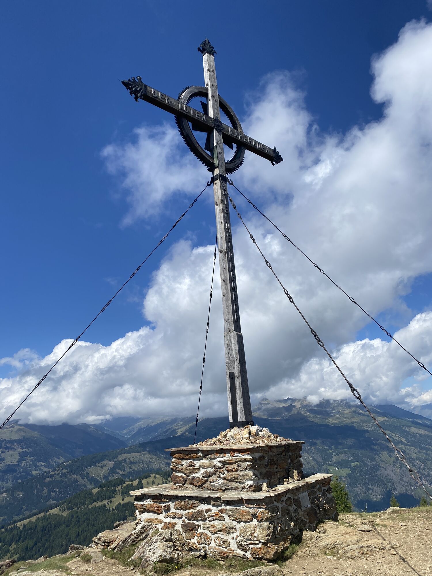
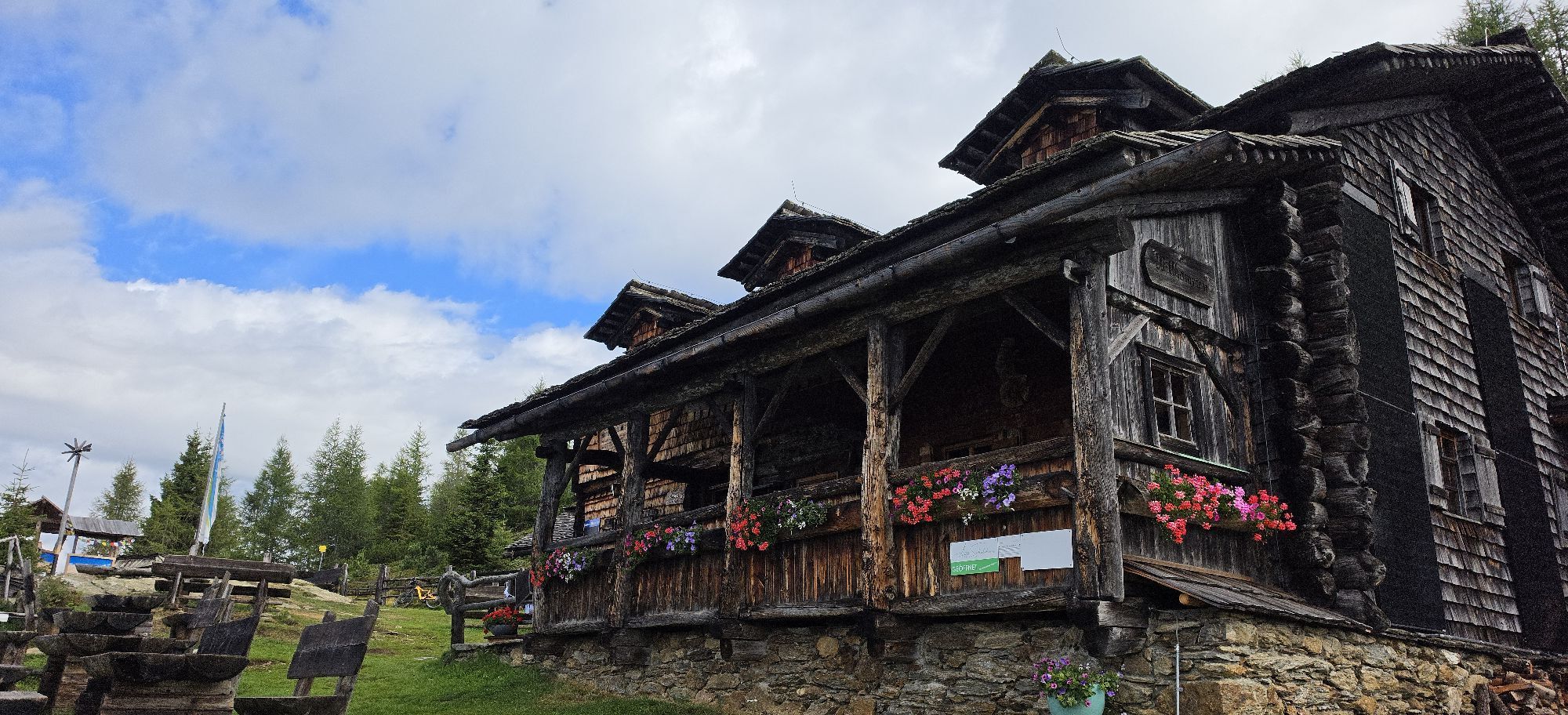
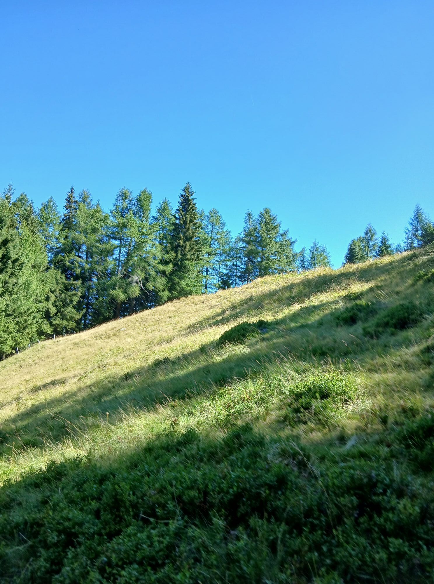
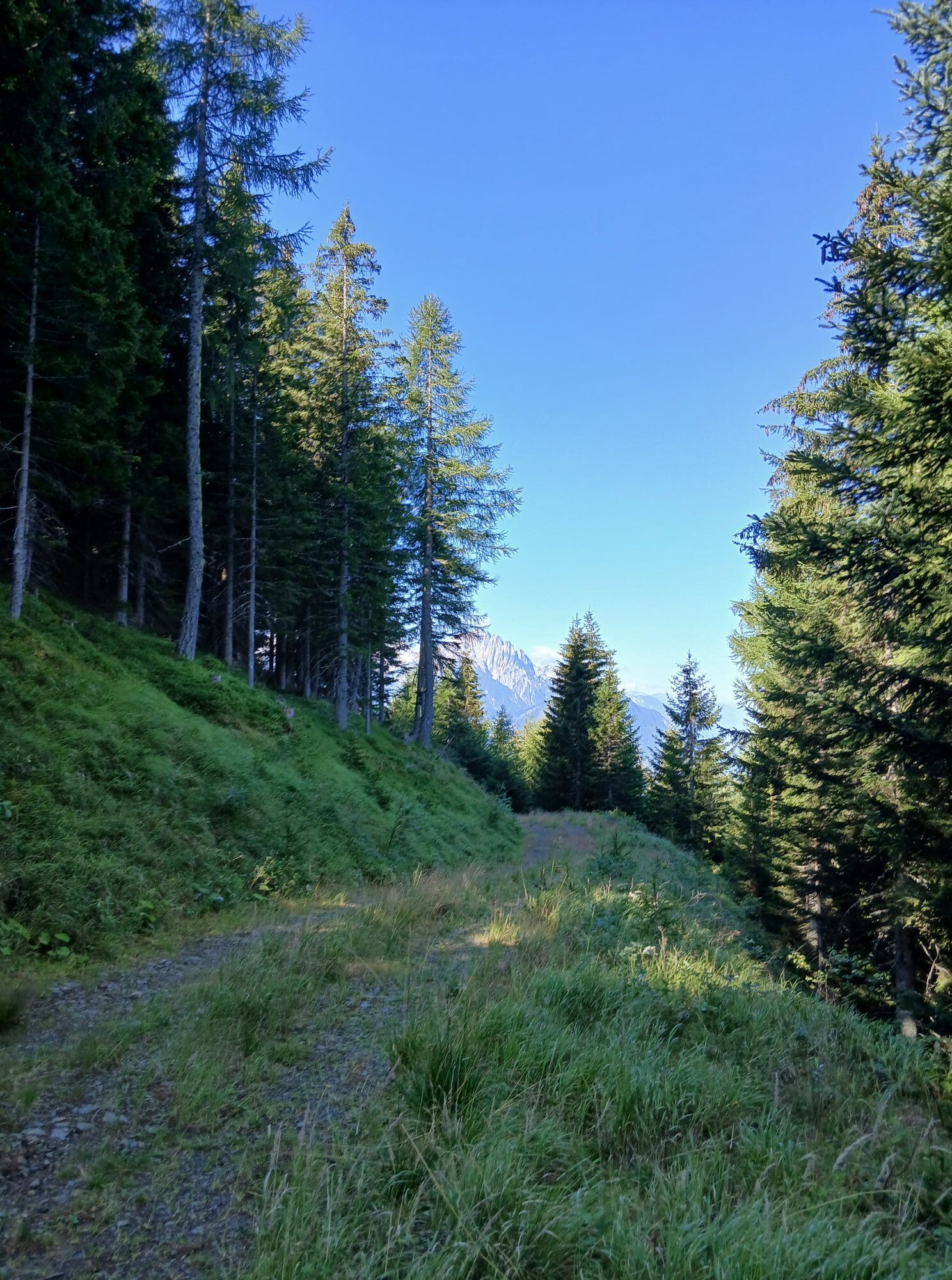
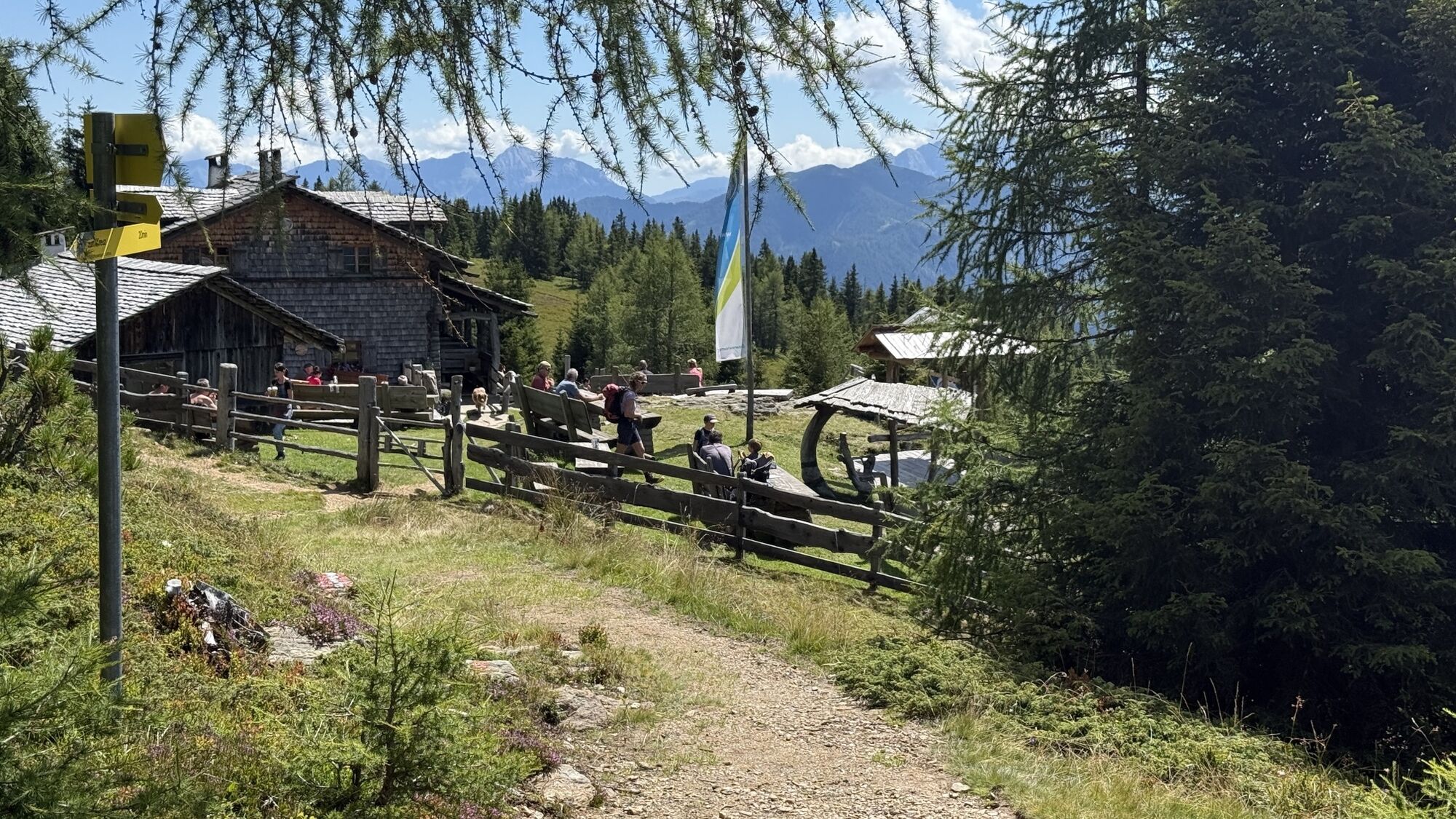
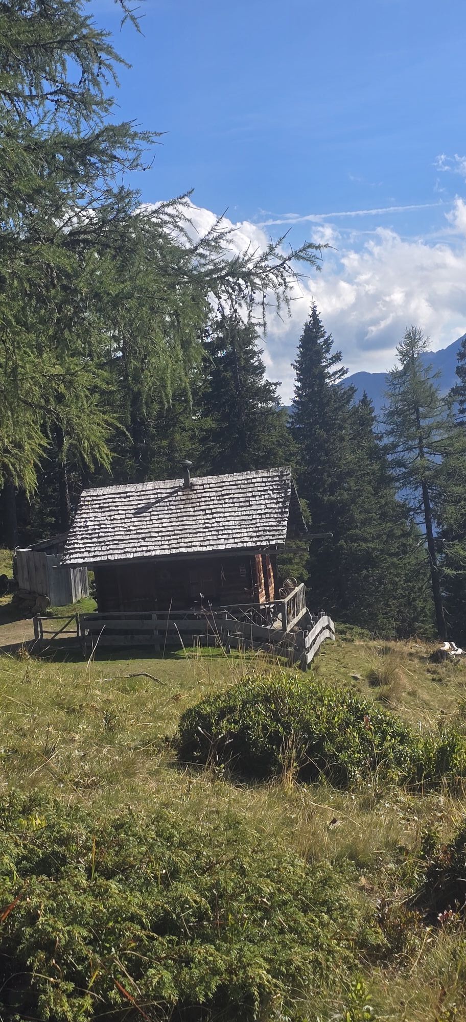
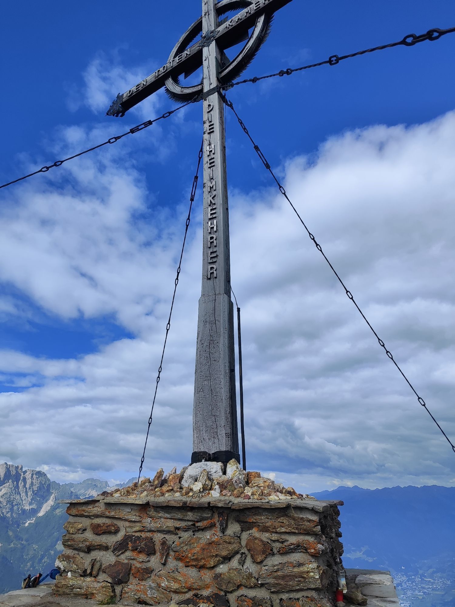
From the parking lot, the path leads steadily uphill through the forest. After some gates, you reach a clearing. From there, it is not far to the Anna shelter and to the summit. The Ederplan is a beautiful...
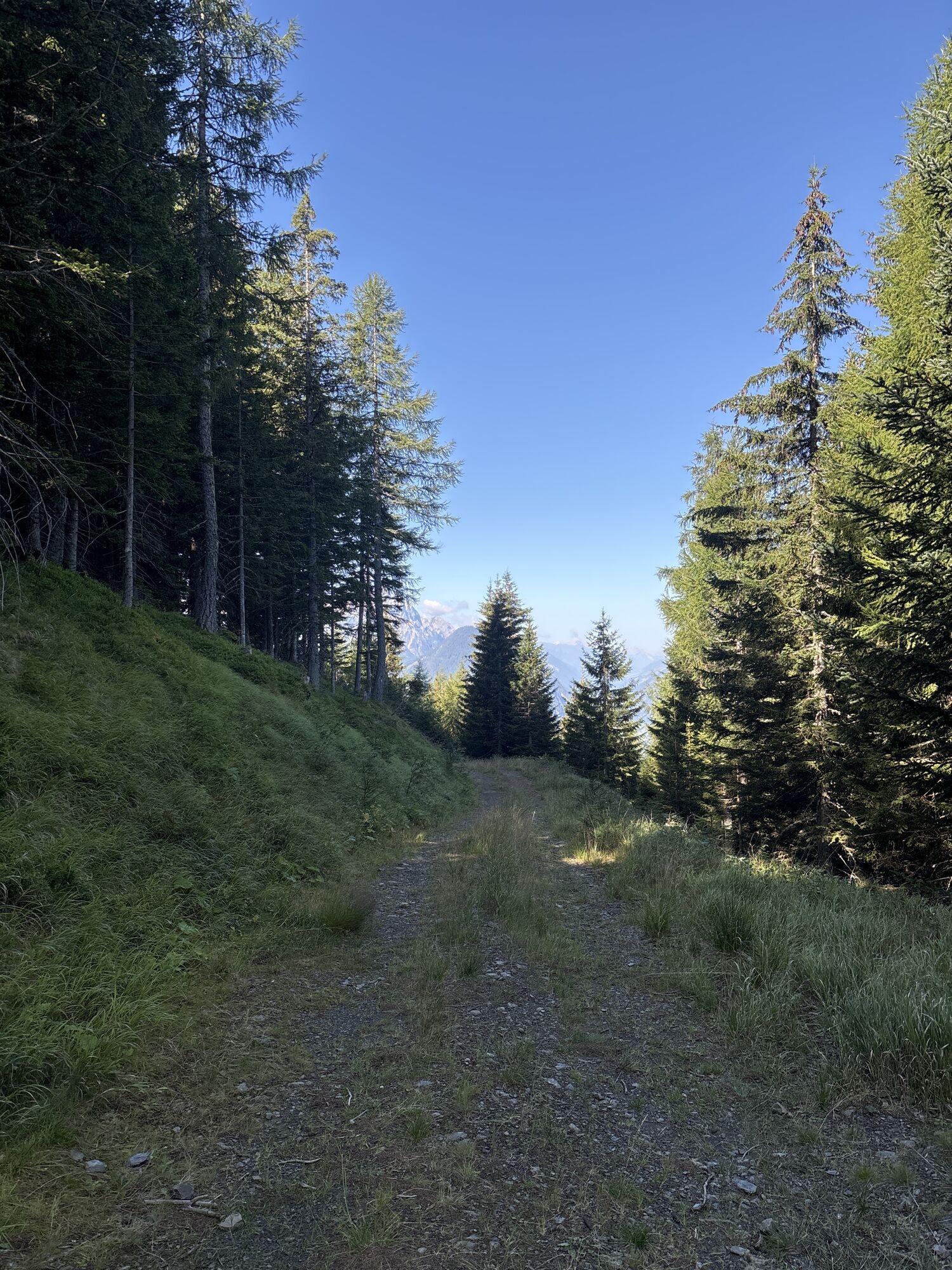
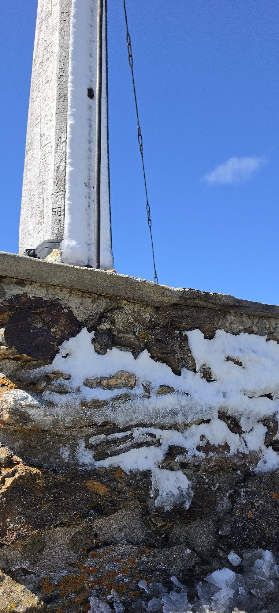
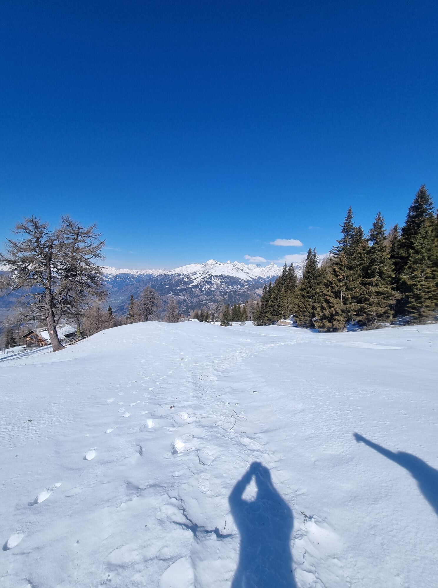
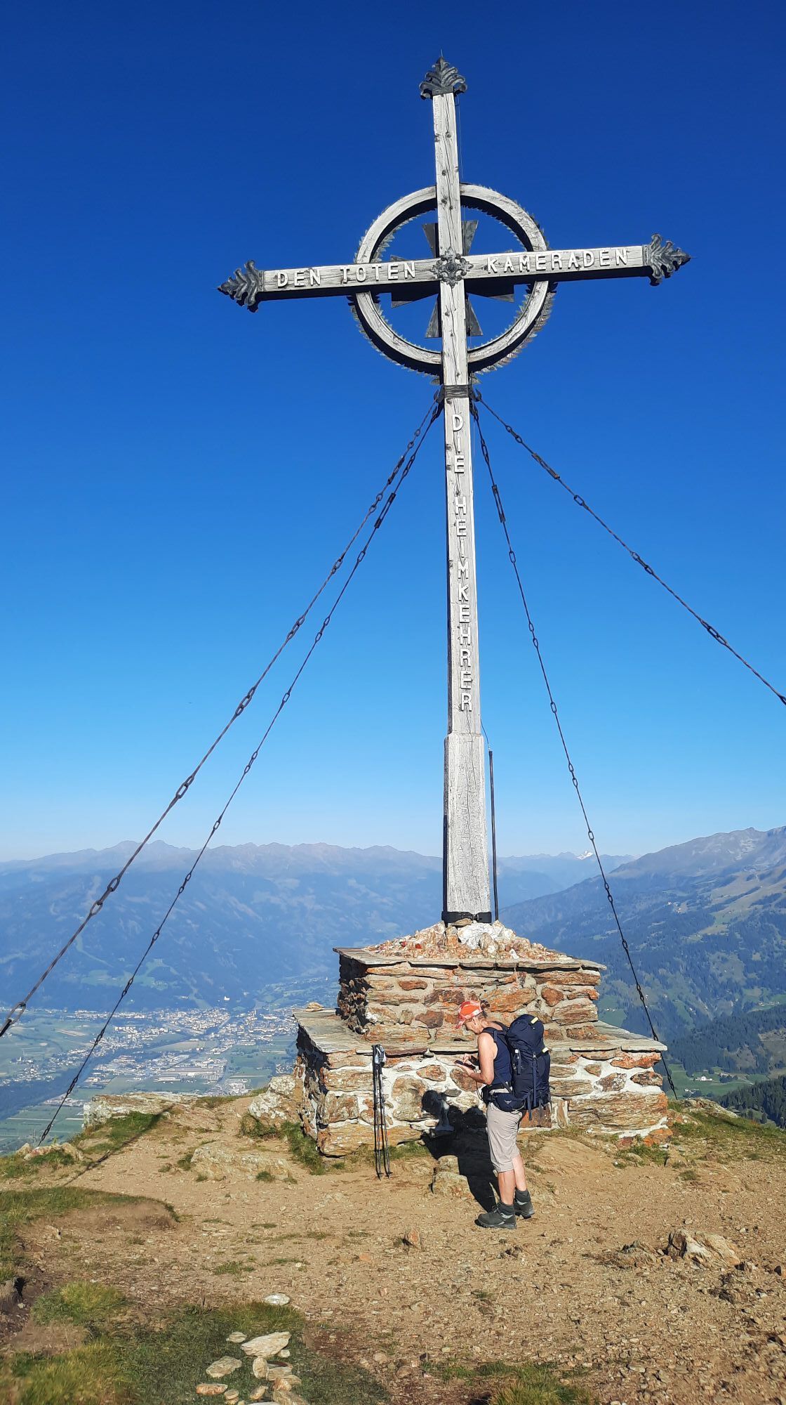
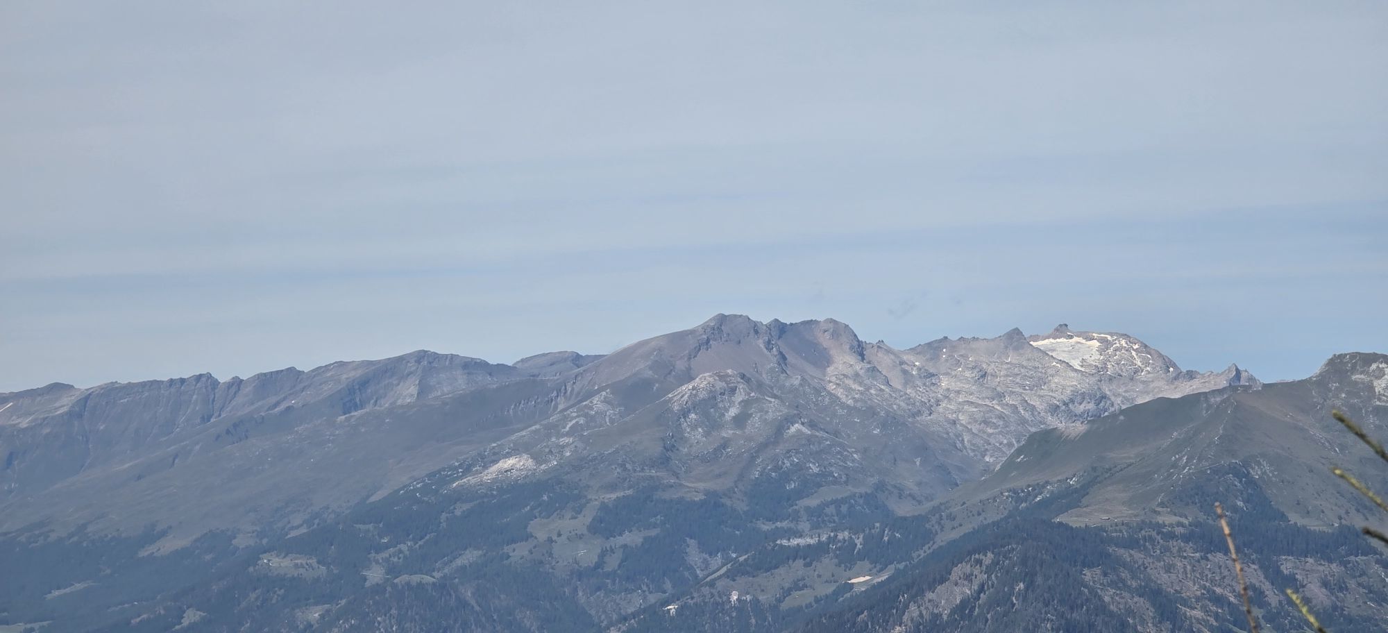
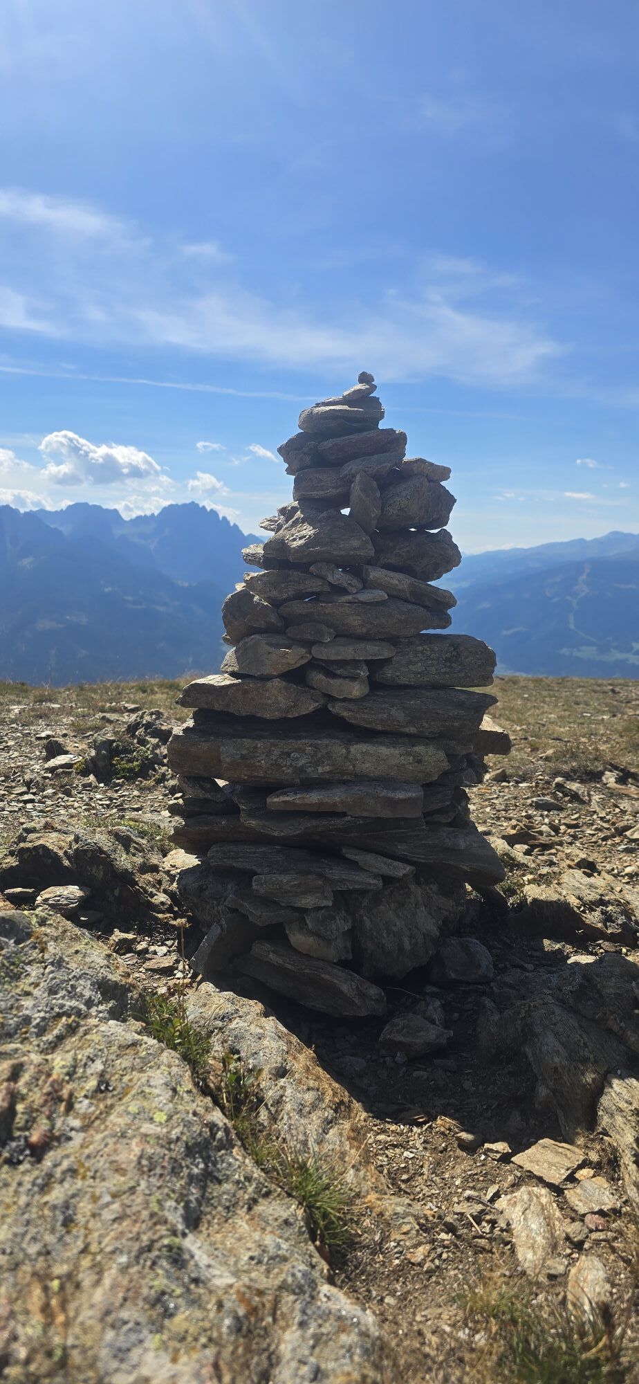
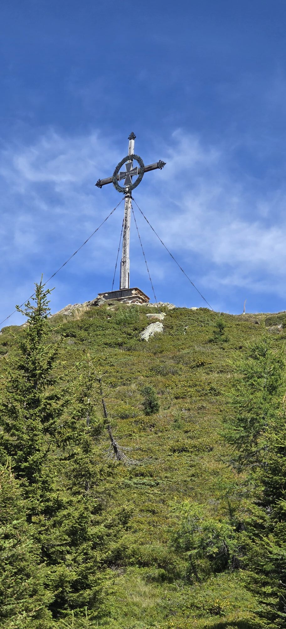
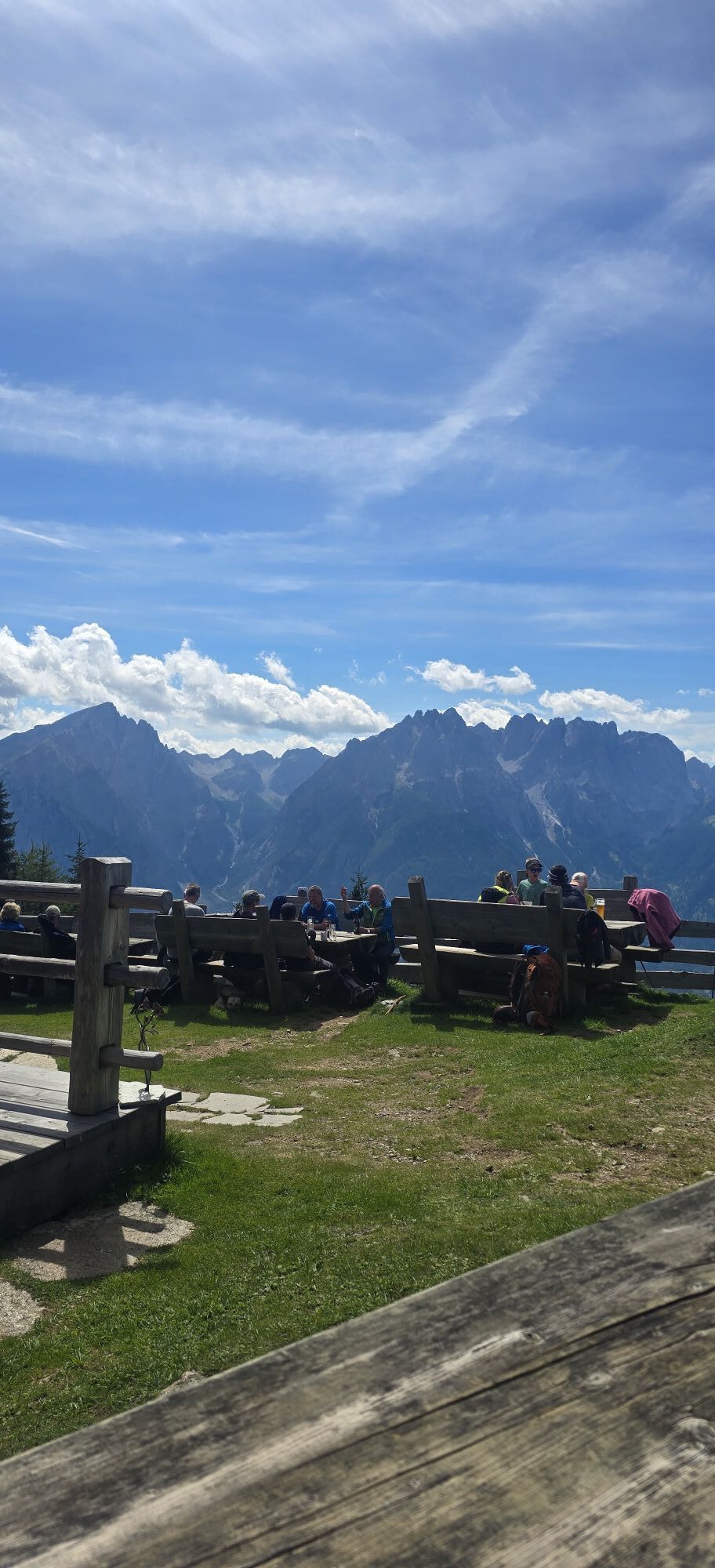
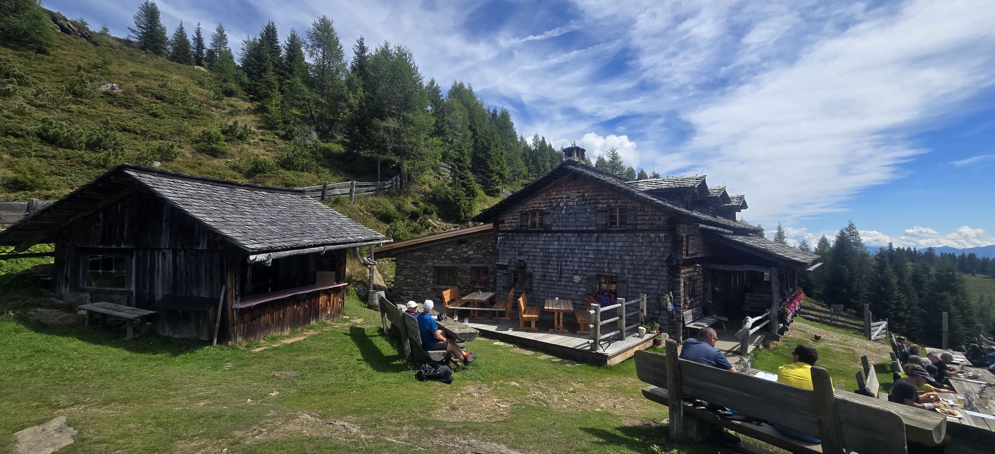
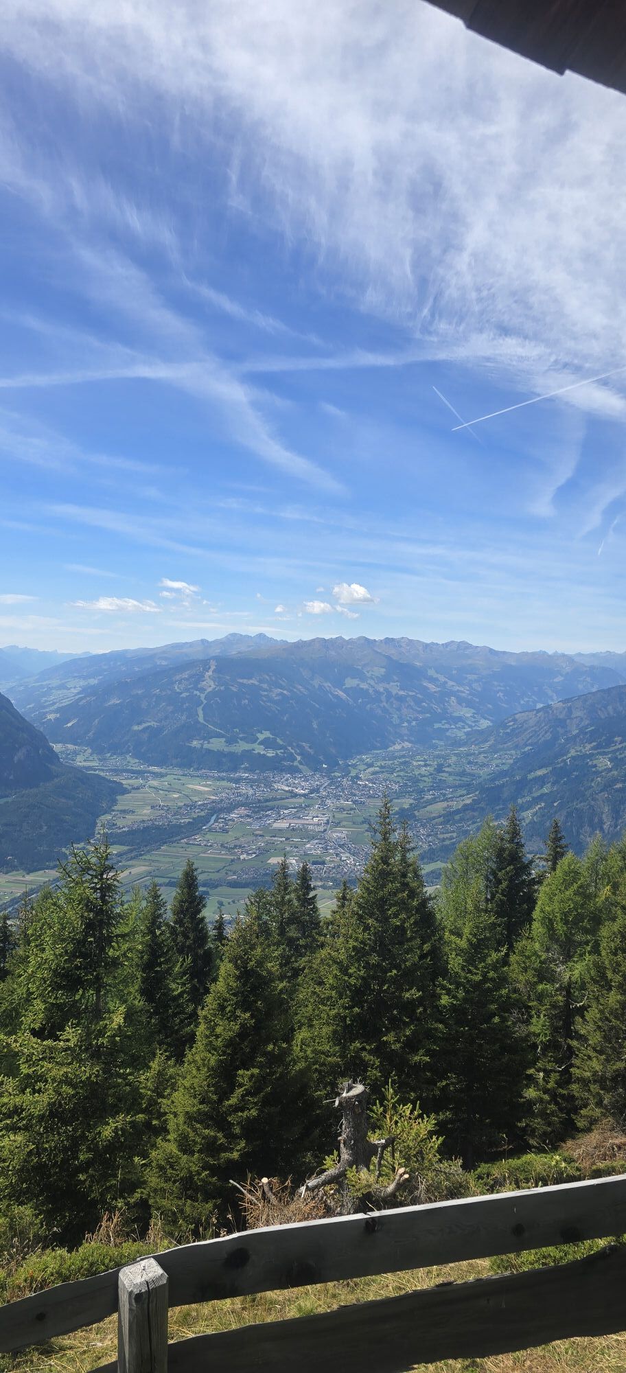
From the parking lot, the path leads steadily uphill through the forest. After some gates, you reach a clearing. From there, it is not far to the Anna shelter and to the summit. The Ederplan is a beautiful viewing mountain with views over the Möll valley, Lienz, and the Dolomites. Another highlight is the summit cross, which majestically crowns the viewing mountain.
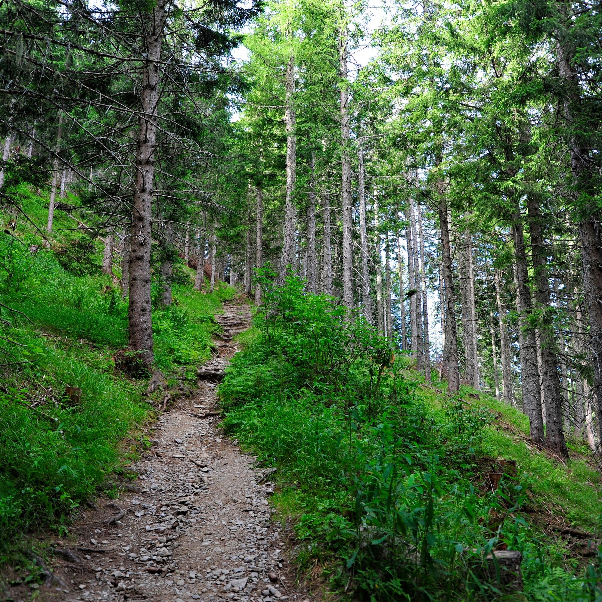
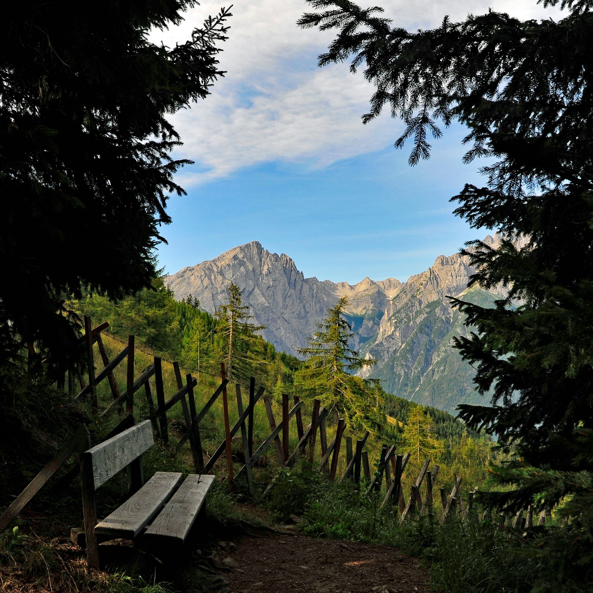
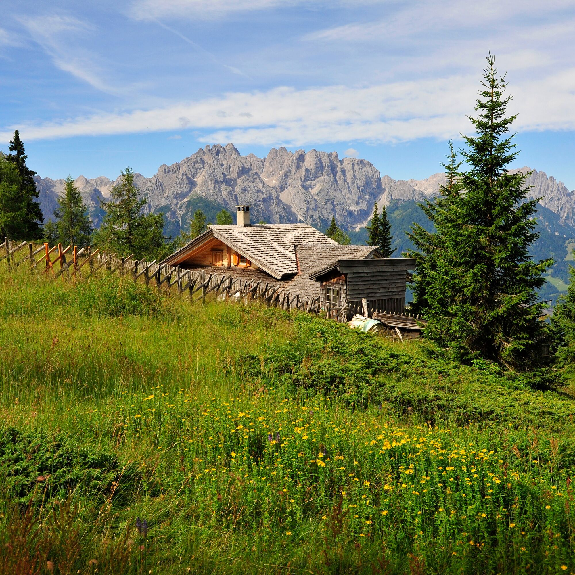
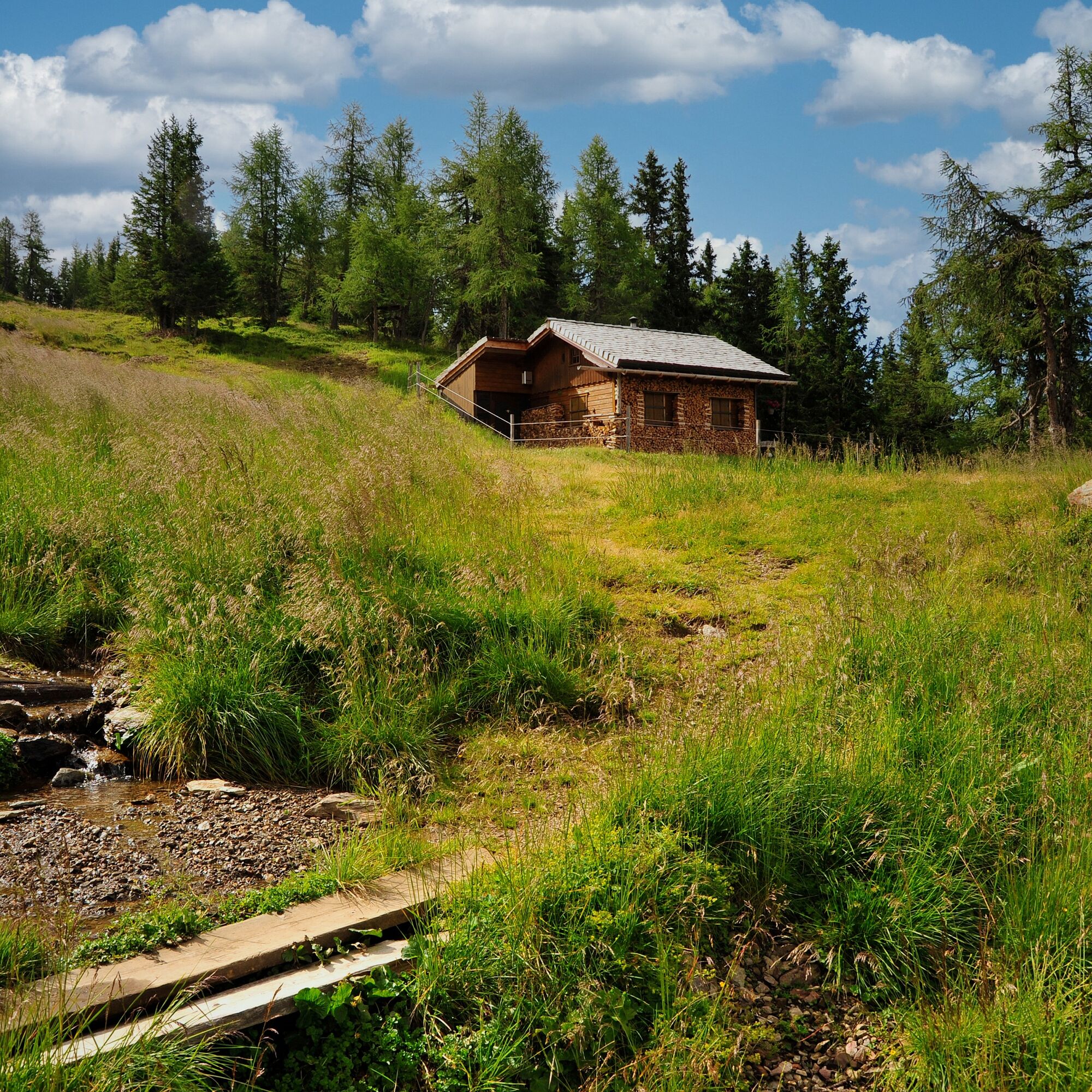
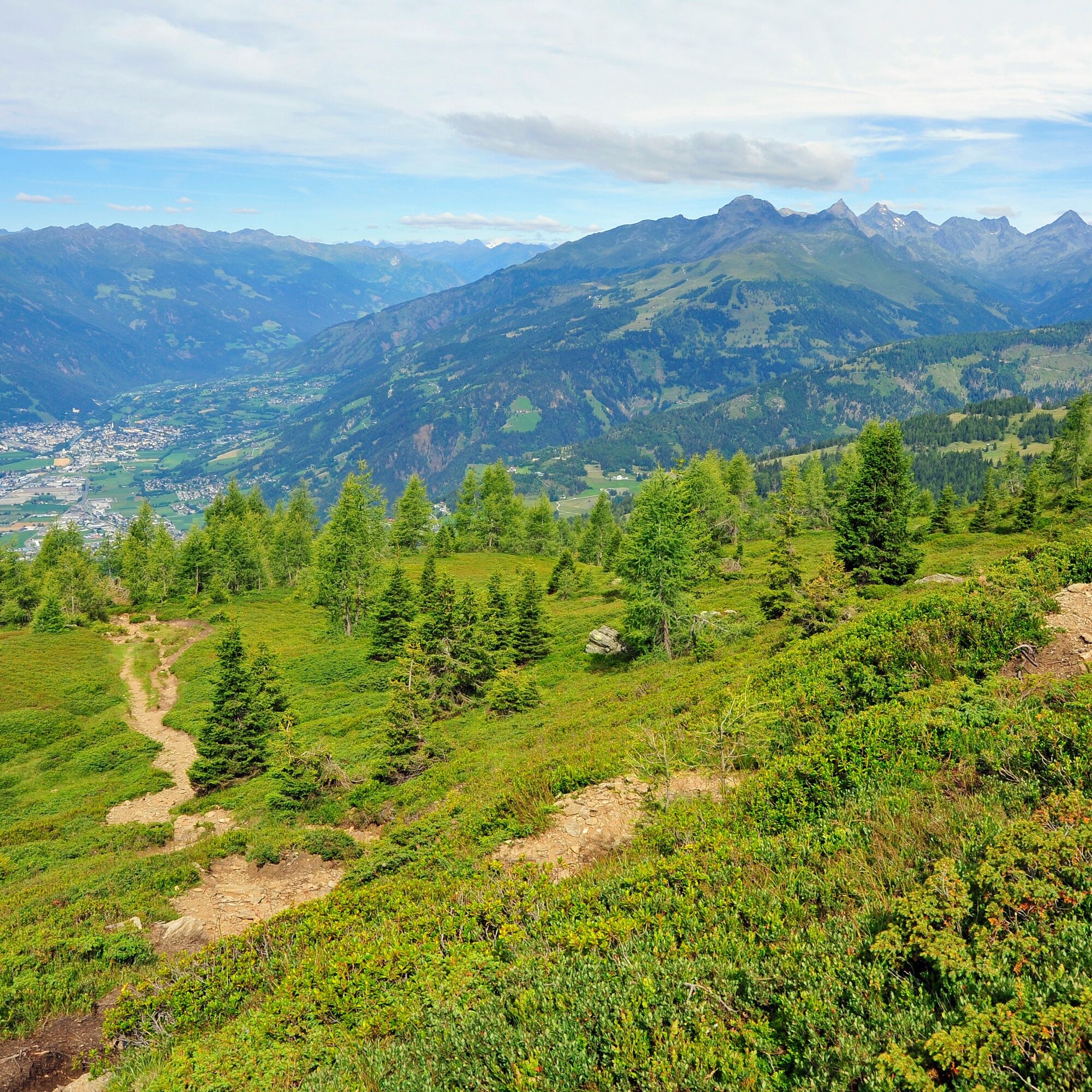
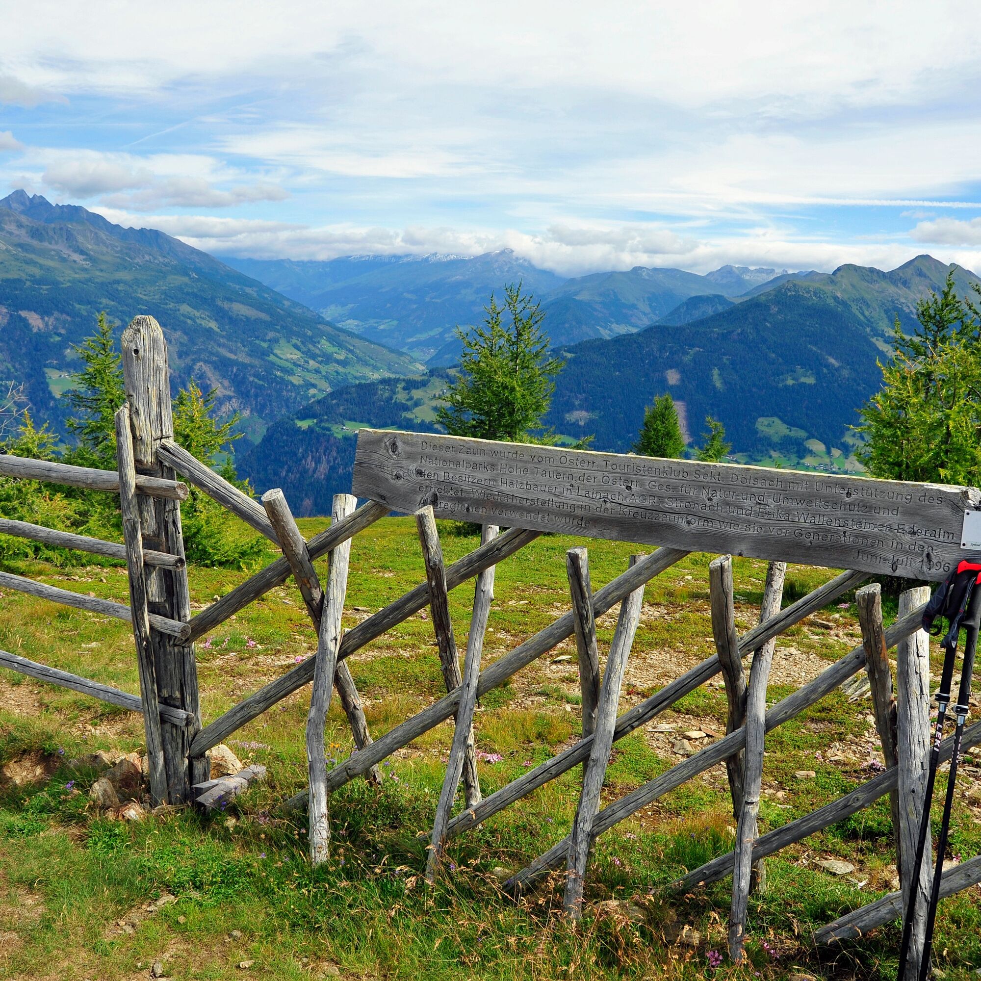
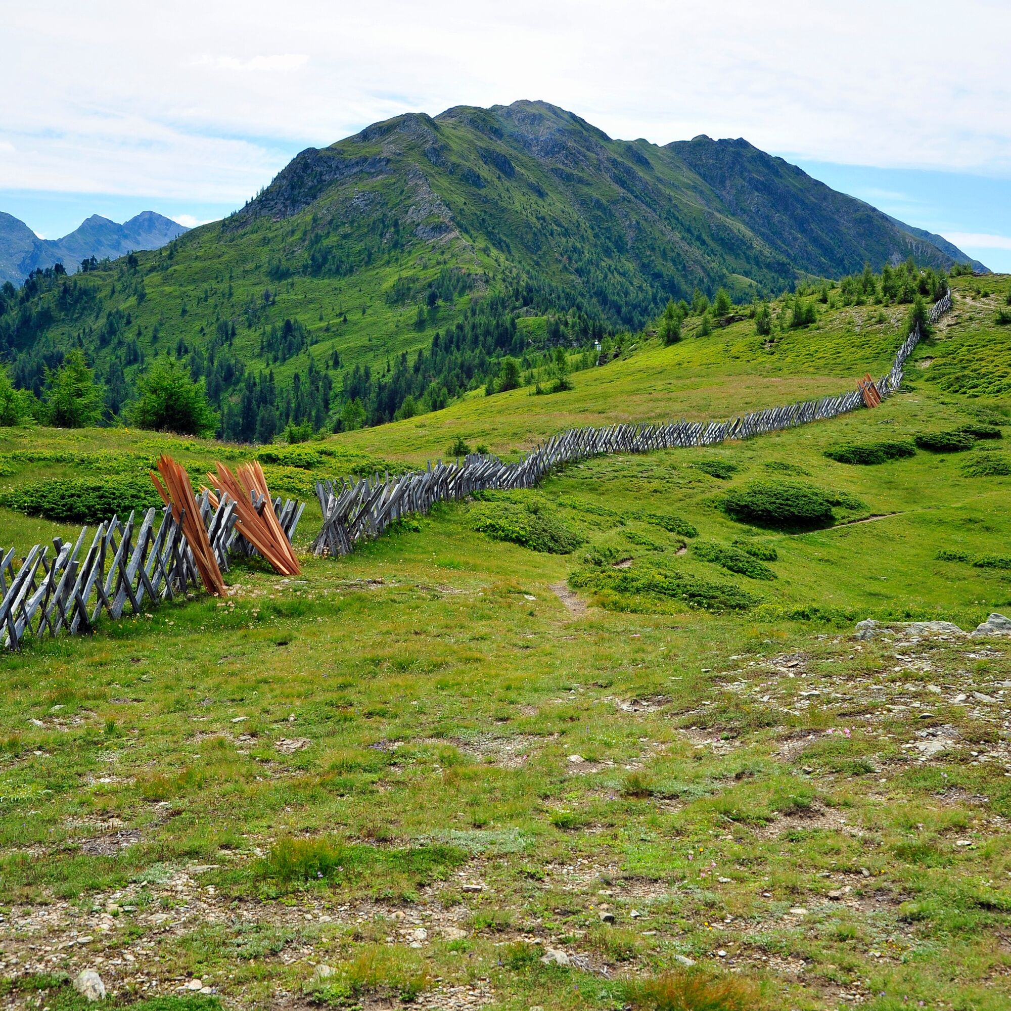
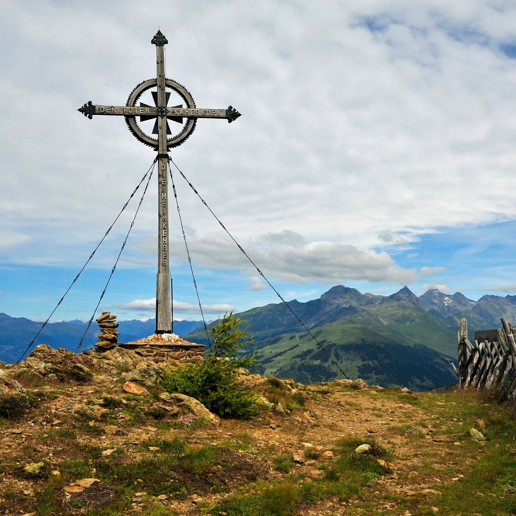
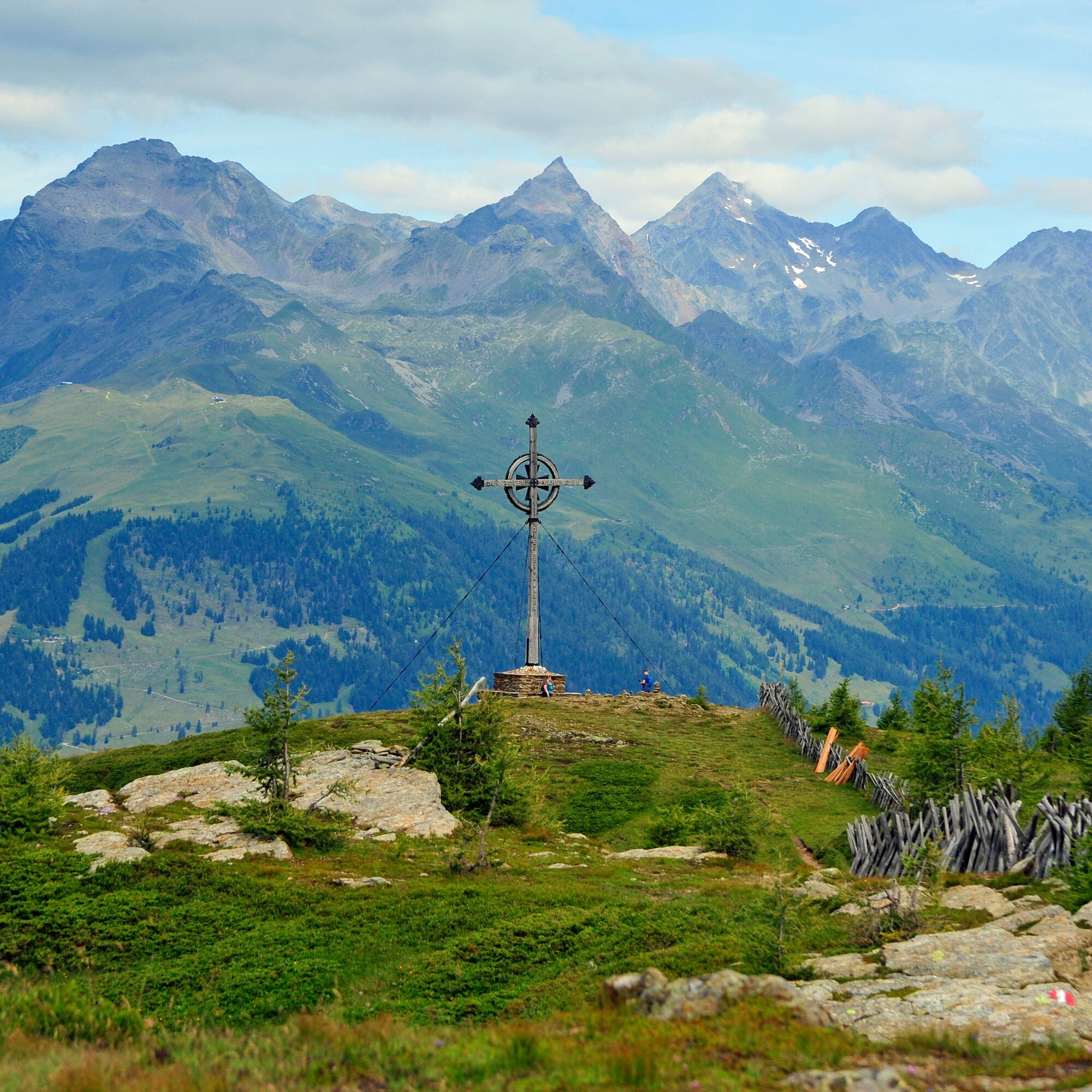
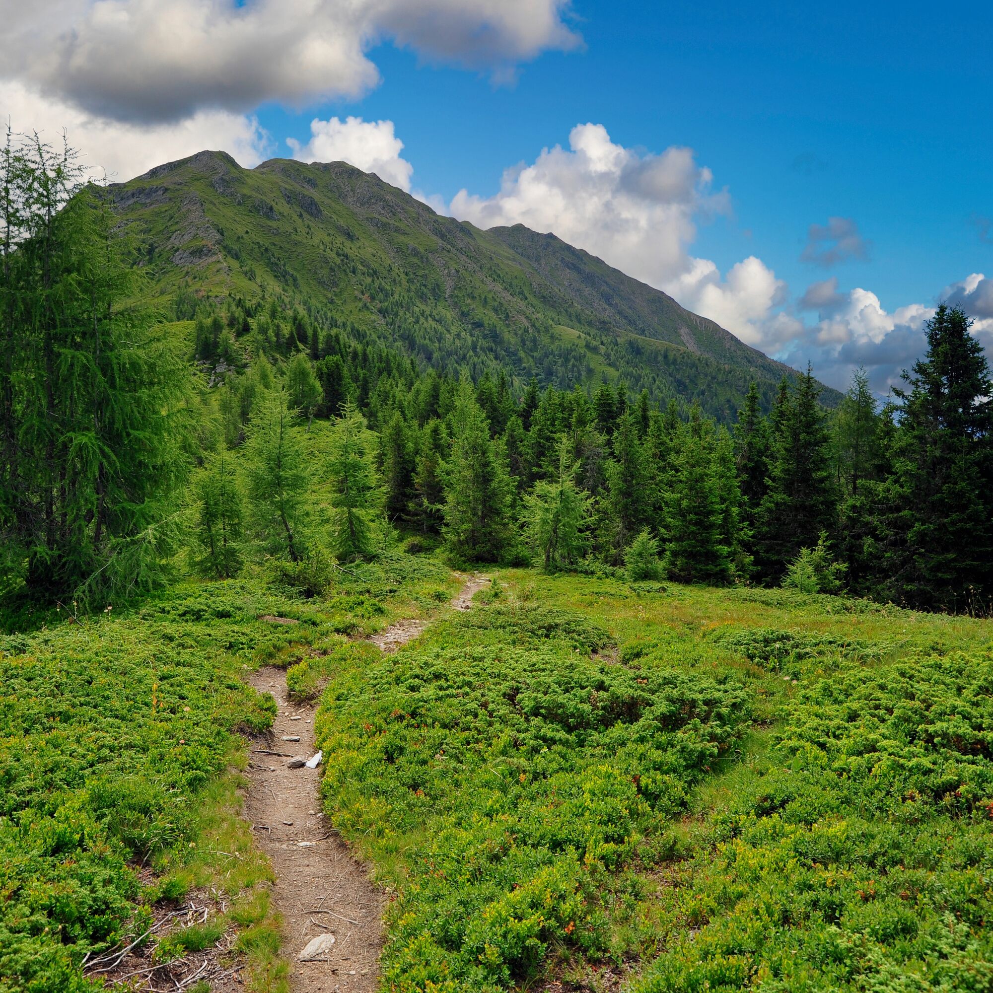
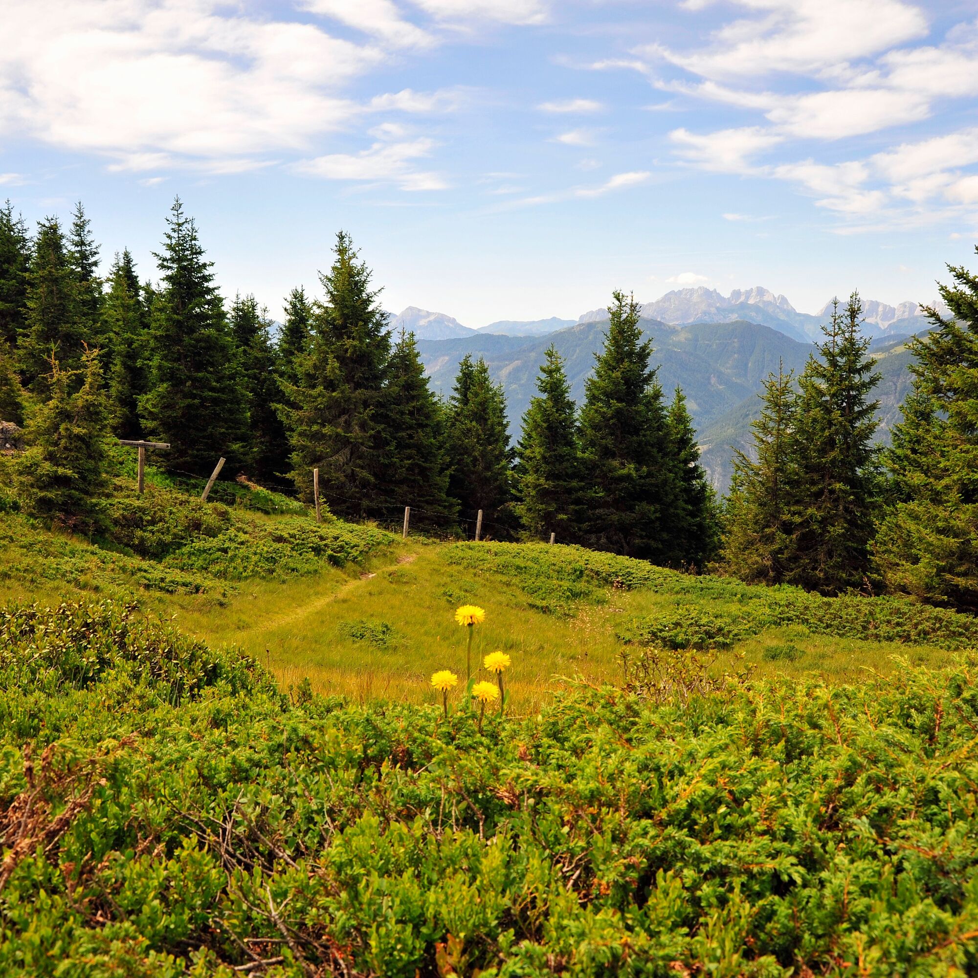
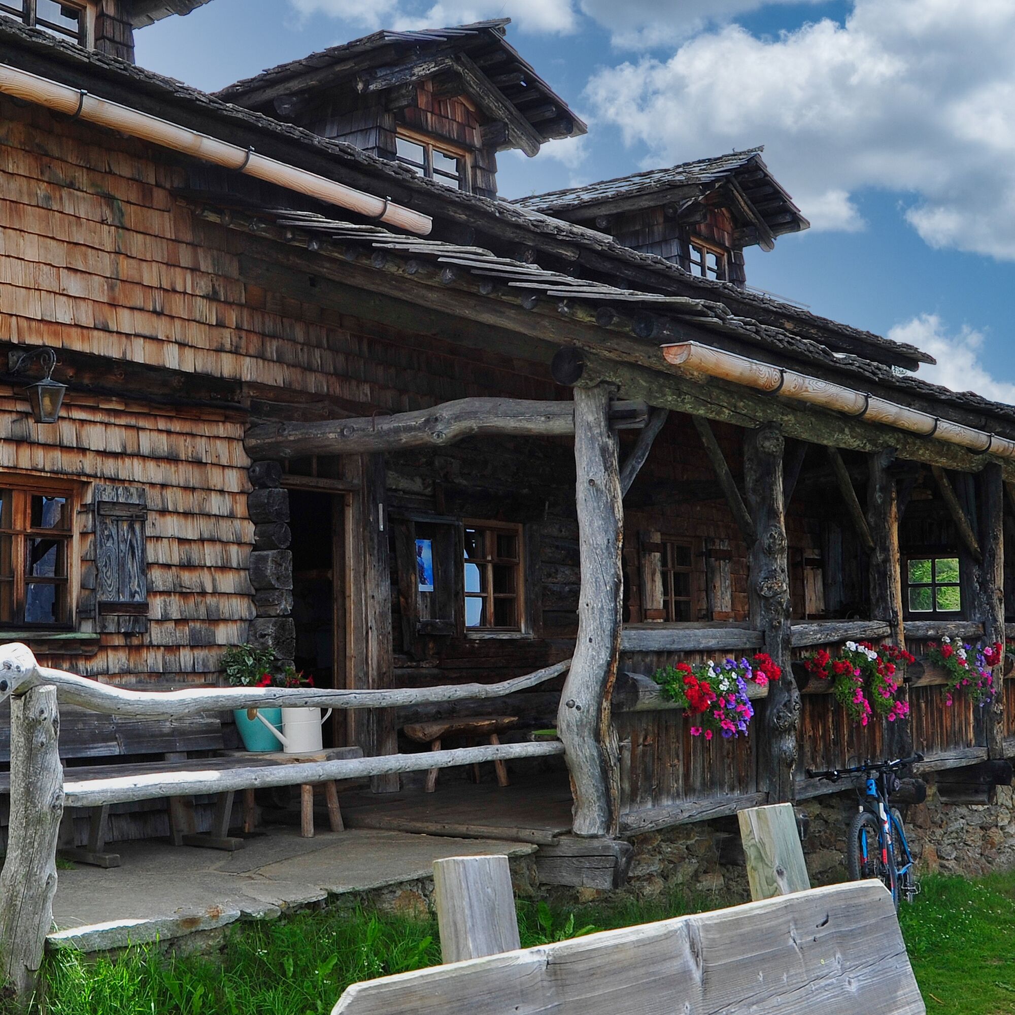
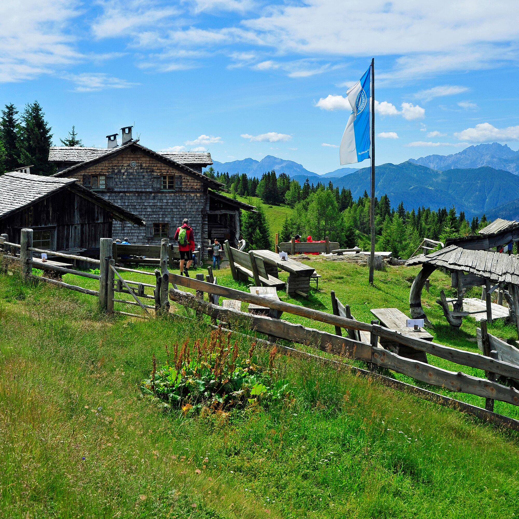
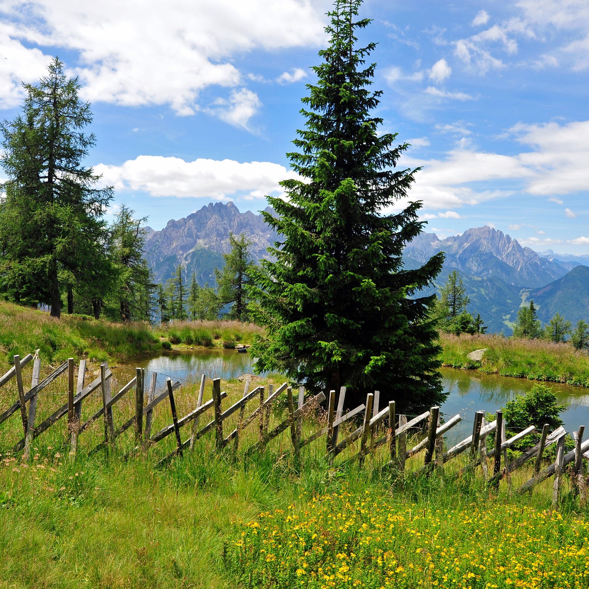
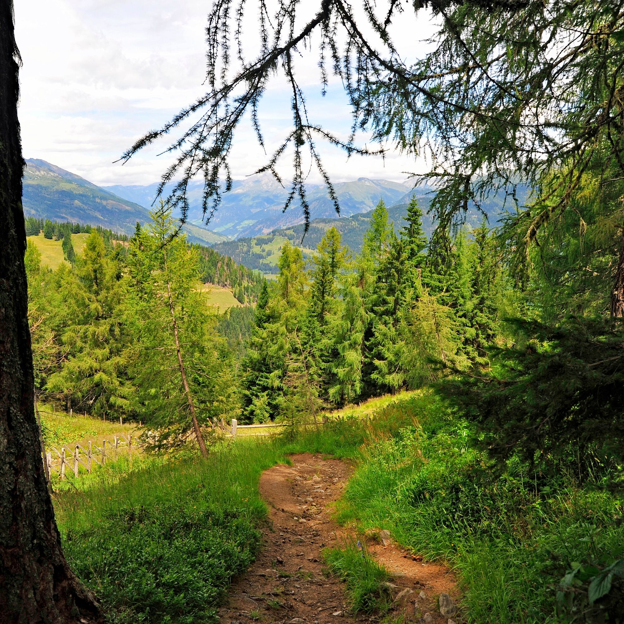
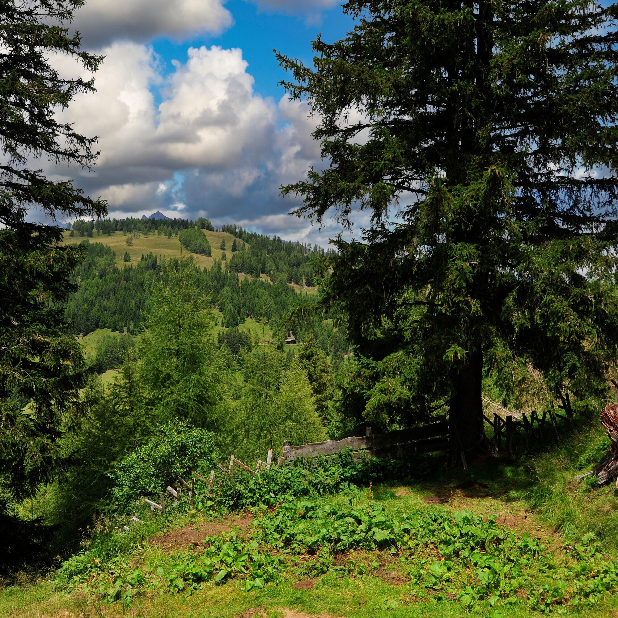

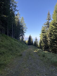
The path leads relatively steeply in switchbacks through the forest. After about 1.5 hours, you leave the forest and pass a nice stone hut. A few more switchbacks and the Anna shelter lies ahead of you. From the Anna shelter, follow the path towards the summit (about 20 minutes). An amazingly beautiful summit cross crowns the mountain, and the view rewards the climb. Continue to follow the sign "Rundweg Annahütte" until the junction "Rundwanderweg klein." Now go right downhill through the forest, and after about 15 minutes, you reach the Anna shelter again. From there, take the same path back as on the ascent.
Tak
Tak
Hiking or trekking shoes, water bottle, and hiking poles.
Taking hiking poles is an advantage.
Take the Iselsberg federal road and turn in the curve towards Stronach and follow this road. Soon you will reach an unmanned barrier. Please insert €4 to raise the barrier and continue by car a few switchbacks along a gravel road. Soon you will reach a parking lot in the forest. Park the car here and if you look opposite, you will see the signpost for the hiking trail to the Ederplan summit.
In Stronach, you have to pass an unmanned barrier. Toll fee €4.00 - bring cash!
The hike is especially recommended on hot summer days, as the trail runs two-thirds of the way through the forest.





Kamery internetowe z trasy

Aktywności na trasie

Anna Schutzhaus - Zwischenberger Sattel, Dölsach, Tirol/Österreich
19.09.2026 – WędrówkaZwiachenberger Sattel - Anna Schutzhaus, Iselsberg-Stronach, Tirol/Österreich
18.09.2026 – Wędrówka
Zum Ederplan
08.09.2026 – Wędrówka
Ederplan, Tirol/Österreich
23.08.2026 – Wędrówka
Iselsberg-Stronach, Tirol/Österreich
16.08.2026 – Wędrówka
Iselsberg-Stronach, Tyrol/Austria
28.07.2026 – Wędrówka
Iselsberg-Stronach, Tyrol/Austria
28.07.2026 – Wędrówka
Iselsberg-Stronach, Tirol/Österreich
22.07.2026 – WędrówkaIselsberg-Stronach, Tirol/Österreich
21.07.2026 – Wędrówka
Iselsberg-Stronach, Tirol/Österreich
18.07.2026 – WędrówkaIselsberg-Stronach, Tirol/Österreich
03.07.2026 – WędrówkaIselsberg-Stronach, Tirol/Österreich
23.08.2025 – WędrówkaKreuzeck Höhenweg Tag 1
09.07.2023 – Wędrówka
Popularne wycieczki w okolicy
- 4,9
Wangennitzsee Hütte
średniWędrówka 3,80 km - 4,7
Karlsbader Hütte über Rudl-Eller-Weg
ciężkiWędrówka 5,10 km - 4,8
Lienzer Dolomiten-Lasertörl
średniWędrówka 13,2 km - 4,8
Pirknerklamm (C)
średniVia ferrata 2 km - 4,7
Karlsbader Hütte
średniMountainbike 13,4 km - 4,8
Klammbrückl - Kerschbaumeralm - Spitzkofel
ciężkiWędrówka 8,71 km - 4,0
Karlsbader Hütte - Lienzer Dolomiten
Wędrówka 8 km - 4,8
Hike to the Wangenitzsee Hut
średniWędrówka 13,9 km - 4,2
Straßkopf
średniWędrówka 4,06 km - 3,9
Summit hike to the Hochstadel
średniWędrówka 7,83 km
Wędrówki i tropienie


Nie przegap ofert i inspiracji na następne wakacje
Twój adres e-mail została dodana do listy mailingowej.





