


Hike to the Wangenitzsee Hut
Zdjęcia naszych użytkowników

 © Andre' RobitschUtworzono dnia 16.10.2025
 © Elfriede MoesslerUtworzono dnia 06.09.2025
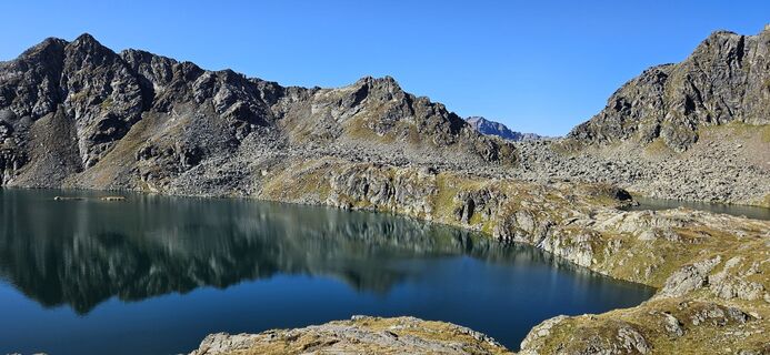 © Elfriede MoesslerUtworzono dnia 06.09.2025
 © Elfriede MoesslerUtworzono dnia 06.09.2025
 © Elfriede MoesslerUtworzono dnia 06.09.2025
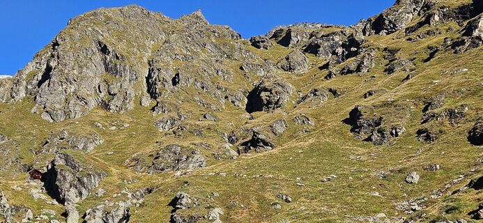 © Elfriede MoesslerUtworzono dnia 06.09.2025
 © Waltraud HirmUtworzono dnia 12.06.2025
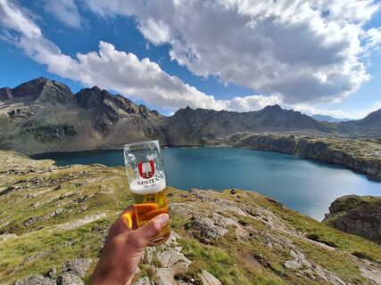
 © Patrick FresenbergerUtworzono dnia 24.08.2024

On this hike, you can expect wonderful scenic impressions and a lake landscape that is unique.


The well-marked hiking trail no. 928 leads gently uphill past the houses of Wangenitzalm (1,371 m). The entire route is beautifully marked. The trail is always clearly visible and not difficult; no fear of heights is required.
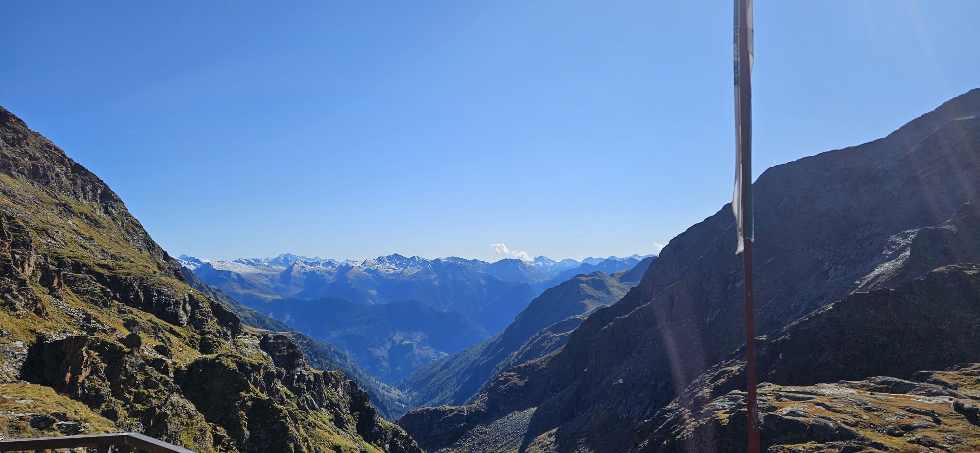
The path now becomes narrower and leads as a narrow path over mountain meadows past abandoned alpine huts and over another terrain step to the Ladinig and Possegger Alm, and further along the rushing Wangenitzbach. Along the well-maintained hiking trail, the scenery becomes increasingly impressive.
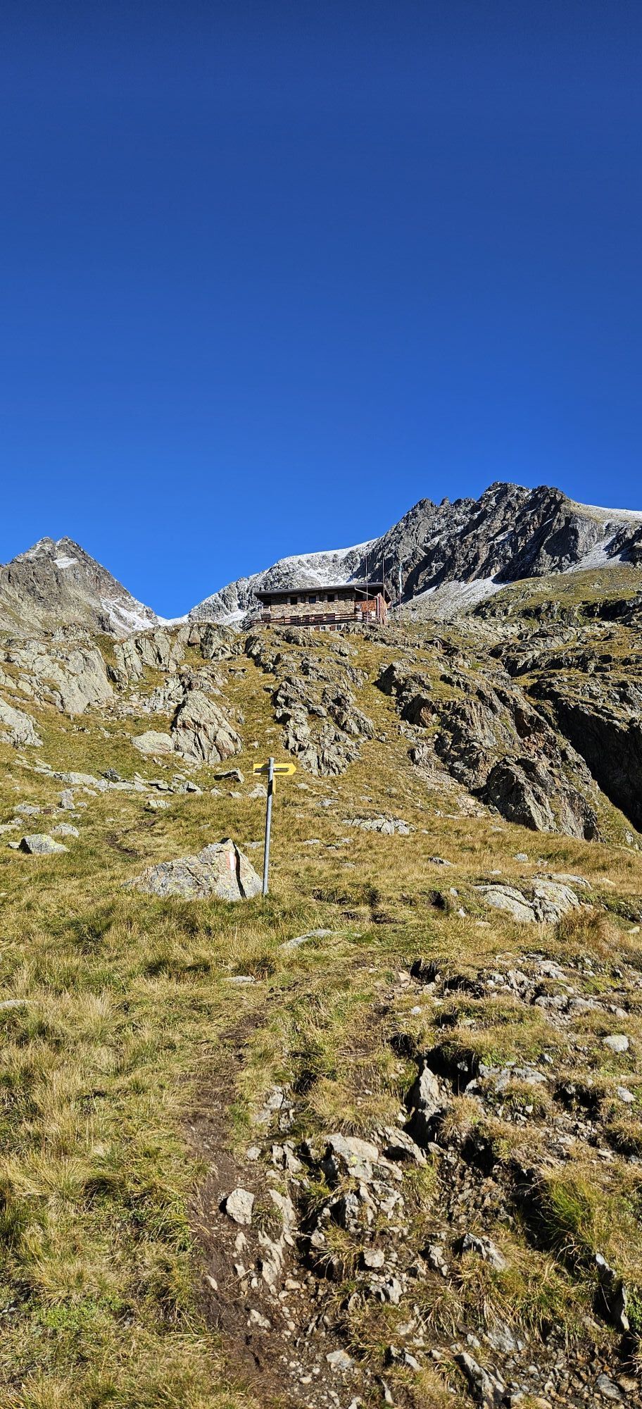
Beautiful small lakes line up next to each other. Then follows a flatter section before the next ascent begins. From afar, you can already see the Wangenitzsee Hut. The difficulty level of this hike is also quite low, so this route is definitely suitable for families.
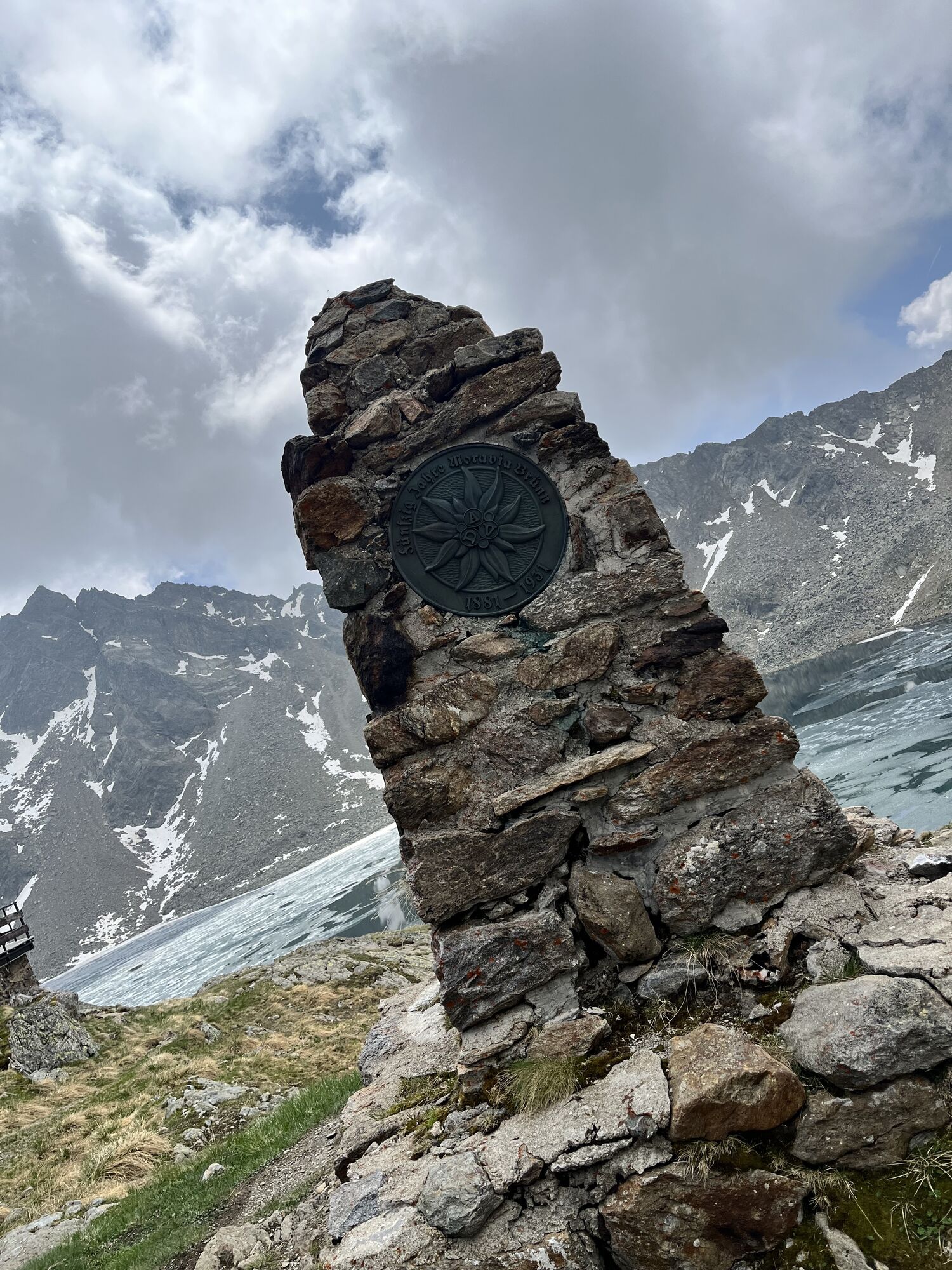
Right next to the hut stands a monument dedicated to the heroes of 1914 / 1918. The Wangenitzsee Hut is the starting point for routes in a wild and remote mountain area.
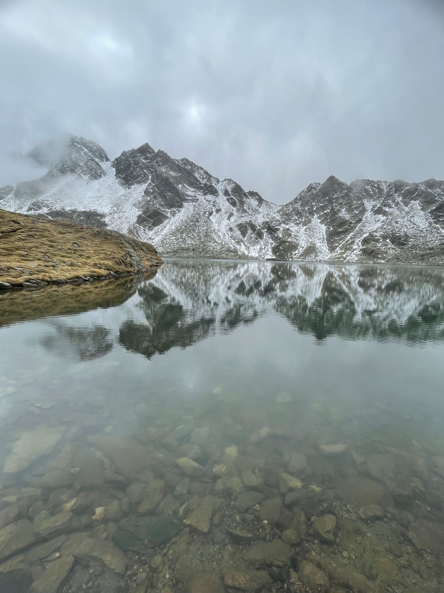
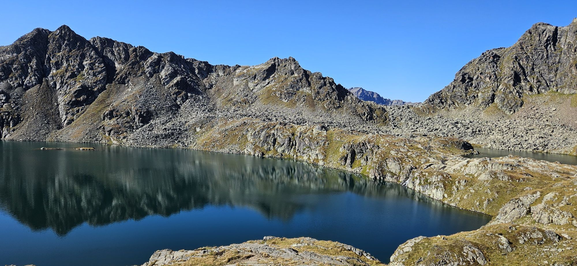
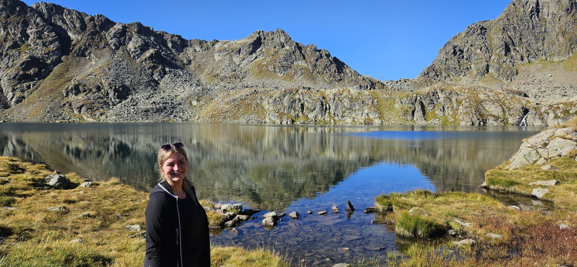
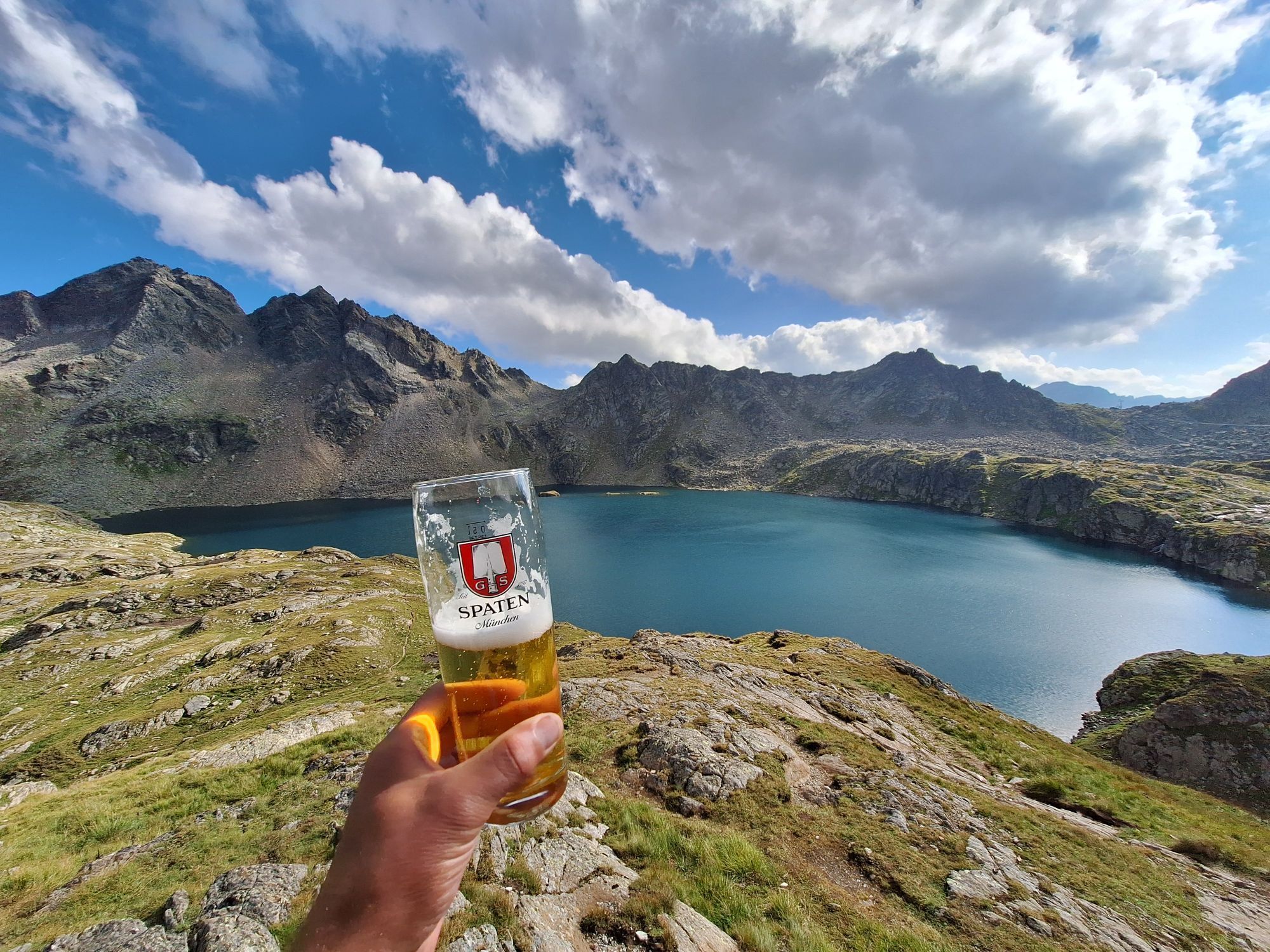
The Wangenitzsee with the Kreuzsee offer a grand backdrop and nestle the Wangenitzsee Hut with the three-thousand-meter peak north of the hut wonderfully into the basin once carved by glaciers.
Good footwear, hiking outfit, backpack with a small snack and drink, possibly hiking poles
Via the B107 to Mörtschach - turnoff Pirkachberg - about 4 kilometers to the end of the road, where the parking lot is located (1,386 m). The last part of the road changes from asphalt to a well-drivable gravel road.
Free parking lot at the end of the drivable road.
On the Feldkopf, a webcam is placed that lets you gaze over the Wangenitzsee to the east: https://www.foto-webcam.eu/webcam/feldkopf/
Both young and adult climbing fans will now get their money's worth. A newly renovated climbing garden and via ferrata around the 21 ha large Wangenitzsee promises pure adventure.

Popularne wycieczki w okolicy
- 4,9
Wangennitzsee Hütte
średniWędrówka 3,80 km - 4,7
Glödis 3206m: PP Seichenbrunn, Lienzer Hütte, Glödis KS A/B
ciężkiWycieczka wysokogórska 16,1 km - 5,0
Ederplan round from the parking lot Stronach
średniWędrówka 7,19 km - 4,0
Böses Weibele, 3119m, Lucknerhaus
ciężkiWędrówka 13,8 km - 4,1
Gradental to Adolf Nossberger Hut - circular route
średniWędrówka 11,1 km - 3,2
Straßkopf
średniWycieczka narciarska 10,6 km - 4,1
Straßkopf
średniWędrówka 4,06 km - 4,8
Elberfelderhütte – Langtalseen - circular route
średniWędrówka 27,0 km - 4,8
Astental: Mohar, Moharkreuz
średniWędrówka 9 km - 5,0
Panorama hike Glocknerblick-Asten
światłoWędrówka 7,09 km

Wędrówki i tropienie


Nie przegap ofert i inspiracji na następne wakacje
Twój adres e-mail została dodana do listy mailingowej.